Antique Maps of Nottinghamshire
Richard Nicholson of Chester

Established in 1961
A World of Antique Maps and Prints
The maps on this page are guaranteed to be genuine early specimens published in or around the year stated
Late 19th Century Vintage Map of Nottinghamshire
-

Nottinghamshire, Francis Sydney Weller, c.1898
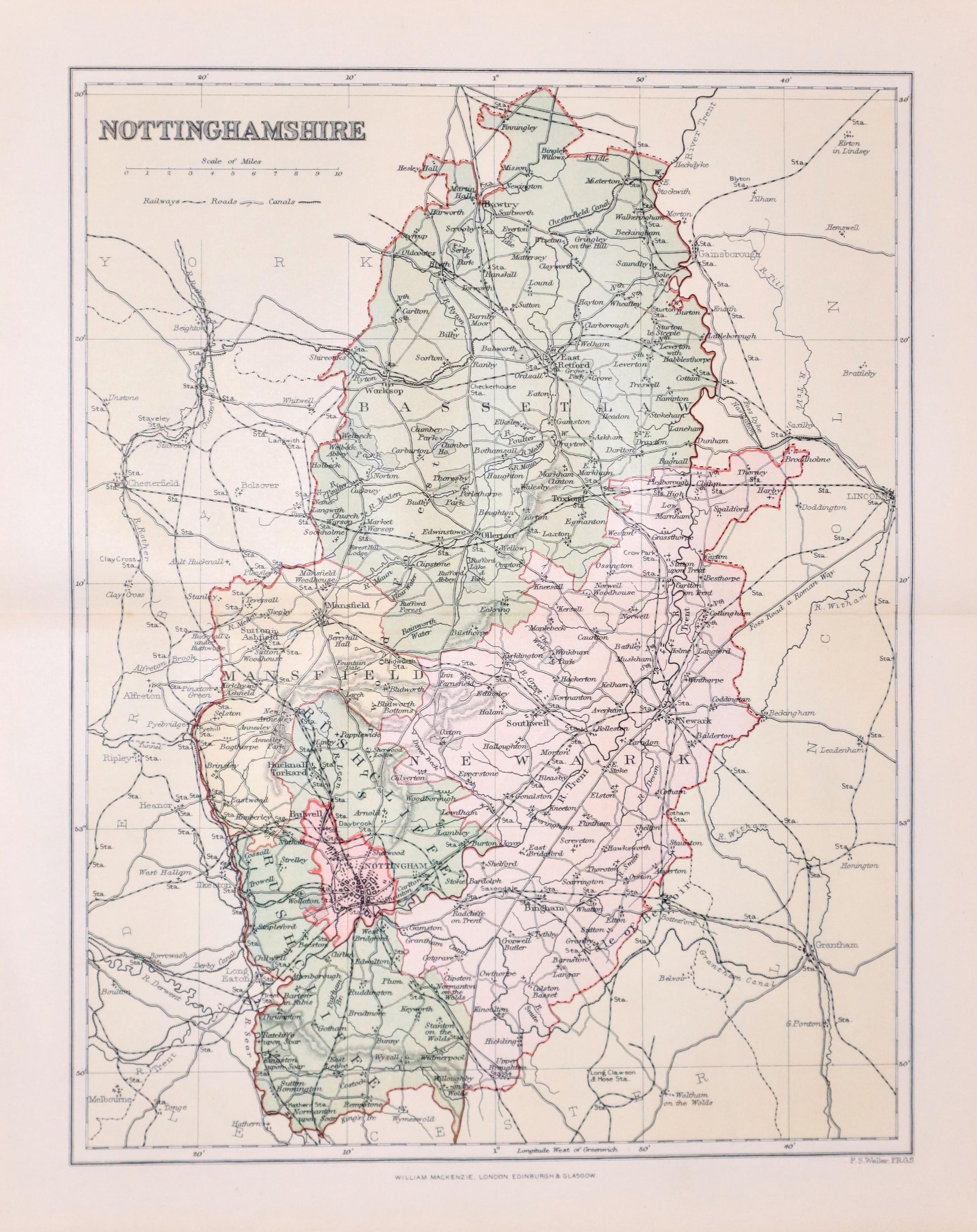
27324 Nottinghamshire, Francis Sydney Weller, c.1898. Price: 8.50
NOTTINGHAMSHIRE
A colour print lithograph county map. 8 1/2 x 11 inches. Good condition.
From: The Comprehensive Gazetteer of England Wales
18th Century Road Map from Grantham to Doncaster
-

Grantham to Doncaster, Carington Bowles, 1785
-

Road Map Grantham to Doncaster, Carington Bowles, 1785
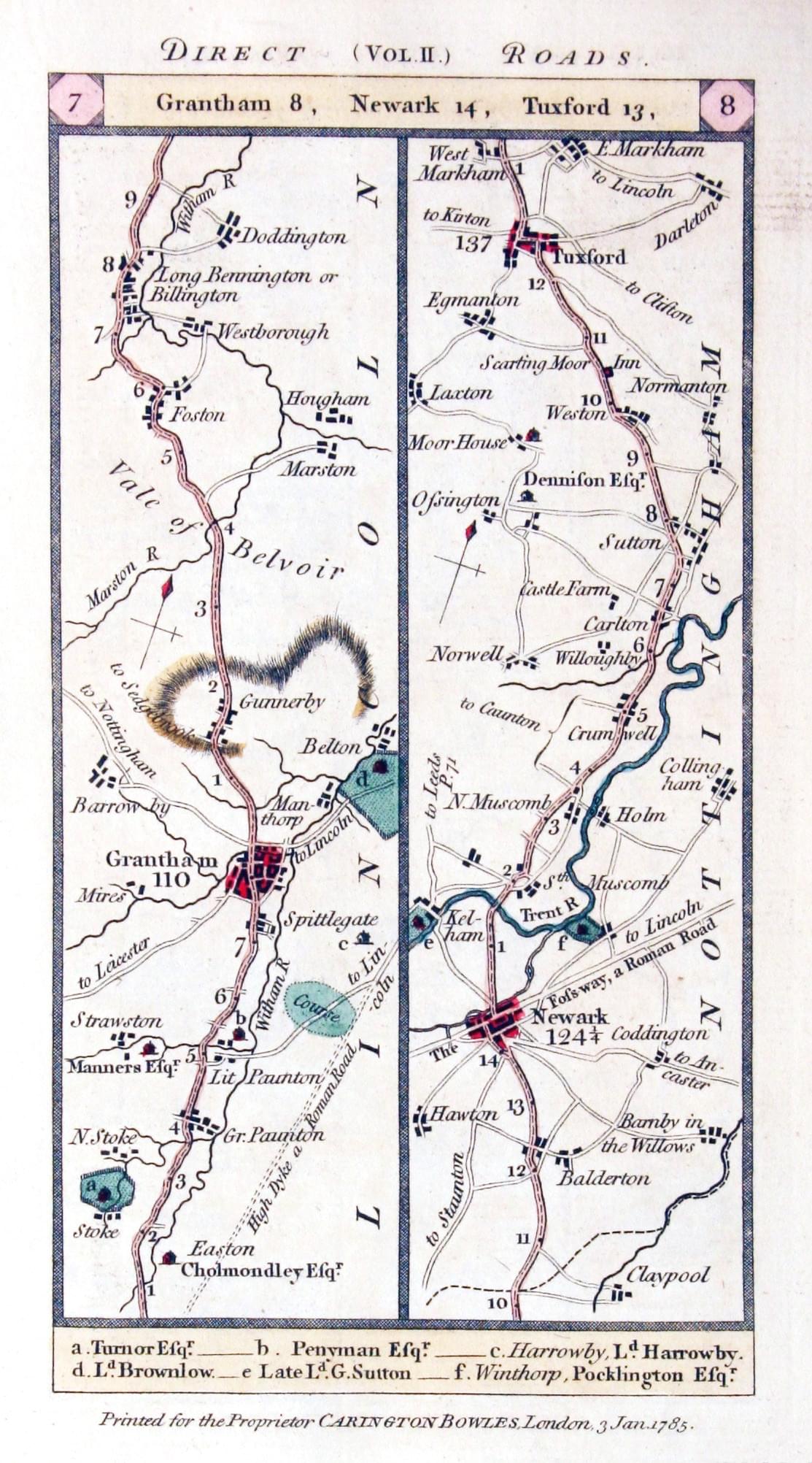
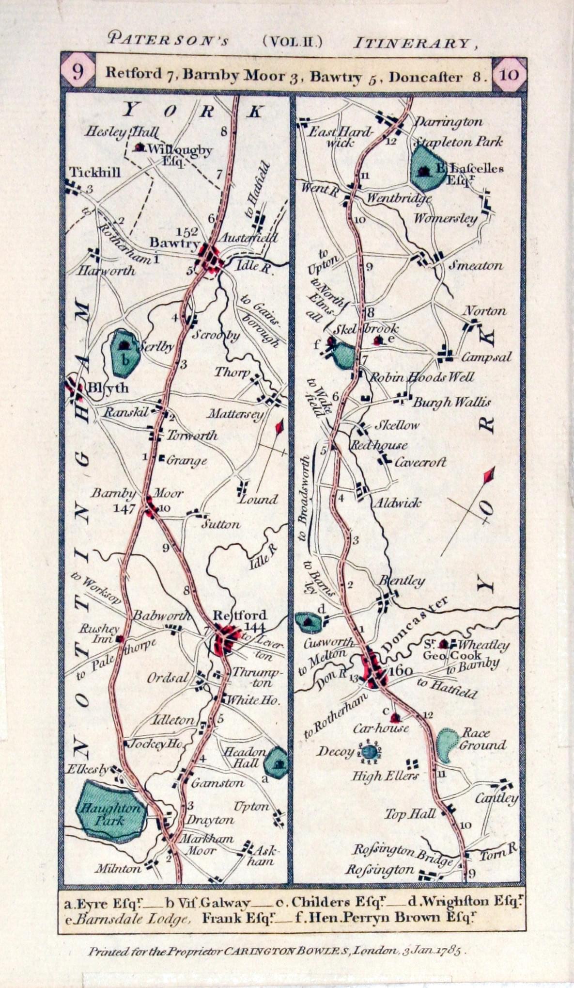
28162 Grantham to Doncaster, Carington Bowles, 1785. Price: 20.00
Plate 7 / 8 / 9 / 10
An engraved double sided strip road map. On one side is the road from Grantham to Tuxford passing through Newark. The road then continued on the reverse side to Retford, Bawtry, Doncaster and continues northwards to East Hardwick. 3 1/4 x 6 1/4 inches. Hand coloured. Good condition.
From: Paterson’s British Itinerary
Elaborate and Decorative Old Map of Nottinghamshire
-

Nottinghamshire, Thomas Moule, c.1850
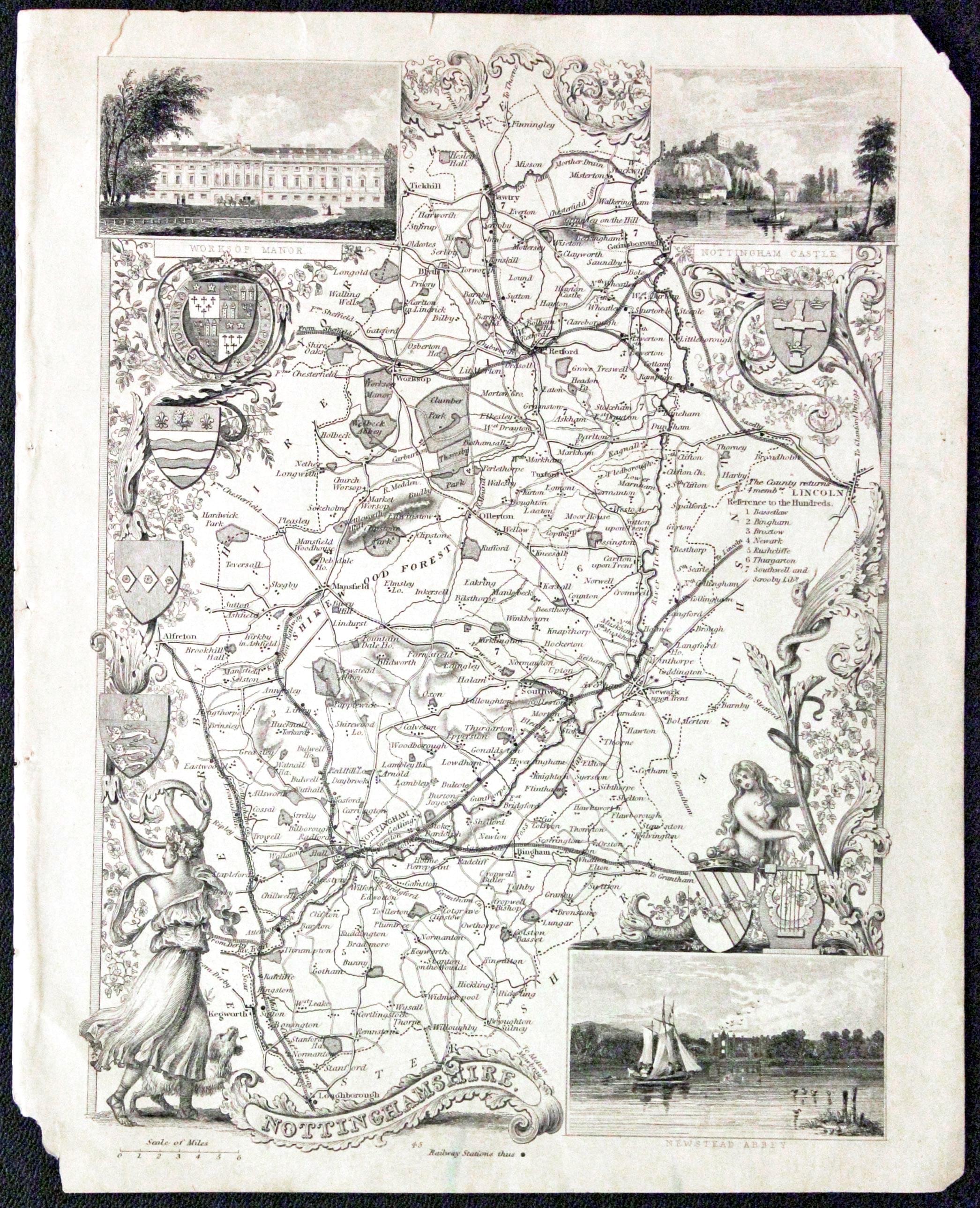
29692 Nottinghamshire, Thomas Moule, c.1850. Price: 30.00
NOTTINGHAMSHIRE
A most decorative Victorian map of the county with an elaborate border of acanthus leaves, flowers, female figure with dog, mermaid, six coats of arms and inset views of Worksop Manor, Nottingham Castle and Newstead Abbey. 7 1/8 x 9 inches, 185 x 245 mm. Uncoloured. Top right and bottom left hand corners of blank margins missing. Some nicks in the top margin. But with a mount dropped round the map it would look good.
From: Barclay's Dictionary
John Speed's Map of Nottinghamshire Straight from the 1646 Atlas
-

Nottinghamshire, John Speed 1646
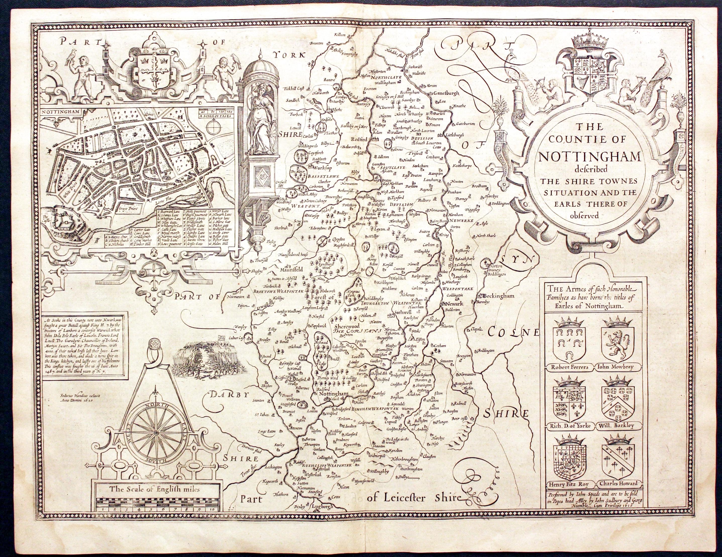
29862 Nottinghamshire, John Speed, 1650. Price: 450.00
THE COUNTIE OF NOTTINGHAM DESCRIBED THE SHIRE TOWNES SITUATION AND THE EARLS THERE OF OBSERVED
A fine decorative map of the county embellished with a town plan of Nottingham set within an ornate cartouche. Decorative title cartouche. Panel of six coats of arms. Compass rose and scale with a pair of dividers. English text on verso with a list of towns and villages. 20 x 15 inches. Uncoloured. Some light water staining in the two bottom corners otherwise this is a nice specimen of the map. The map has just been taken from the atlas and is therefore in nice crisp unhandled condition.
From: The Theatre of the Empire of Great Britaine
Detailed Late 19th Century Map of Nottinghamshire
-
Map of Nottinghamshire by George Washington Bacon c.1905
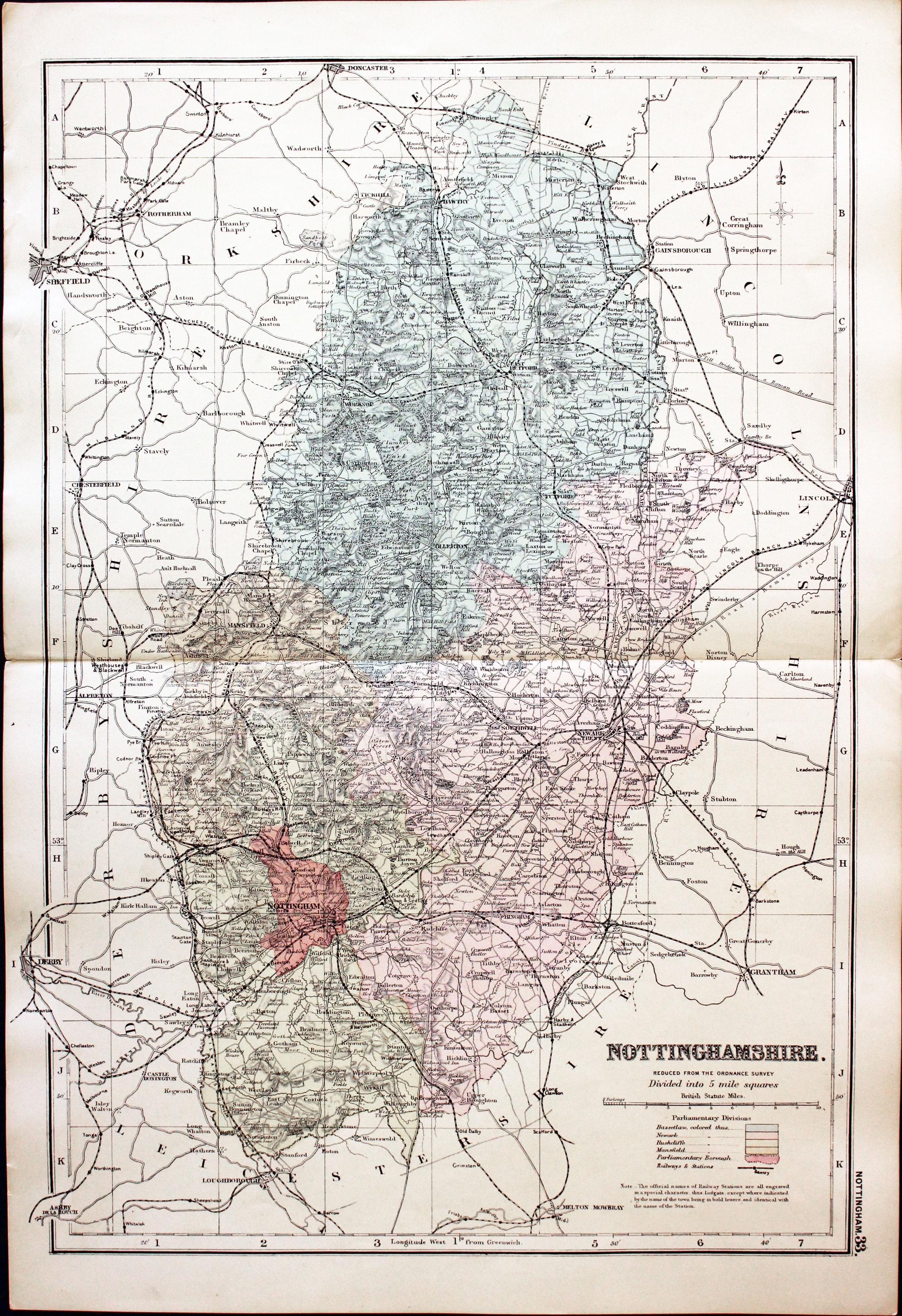
30661 Nottinghamshire, George Washington Bacon, c.1905. Price: 19.00
NOTTINGHAMSHIRE REDUCED FROM THE LATEST ORDNANCE SURVEY. DIVIDED INTO 5 MILE SQUARES
A good detailed late Edwardian colour printed map of county. Shows the railways. 18 x 12 1/4 inches. Good condition.
Fascinating Provenance to this Old Map of Nottinghamshire
-
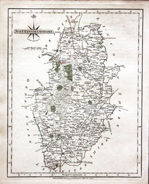
Nottinghamshire, John Cary 1793
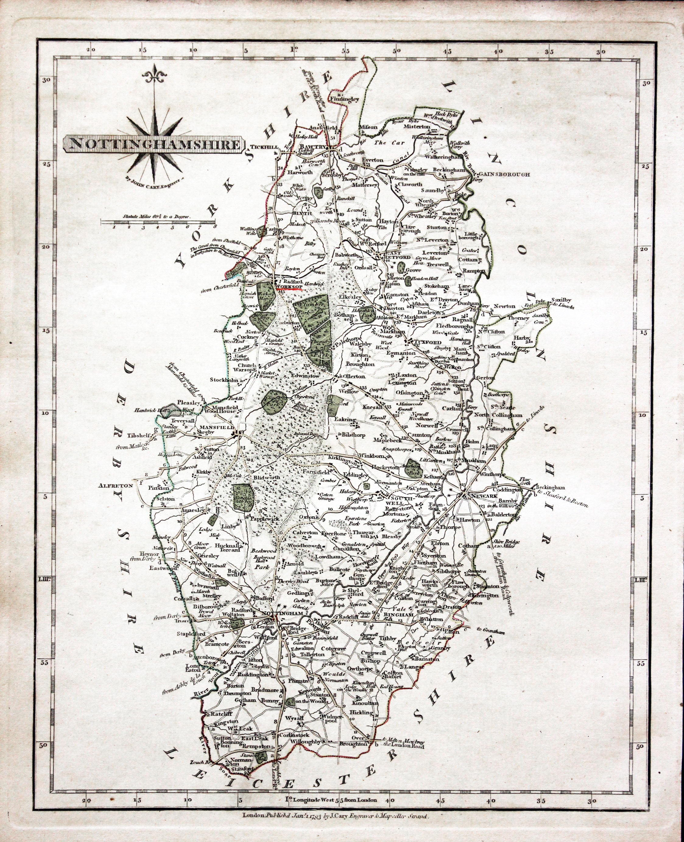
30878 Nottinghamshire, John Cary 1793. Price: 46.00
NOTTINGHAMSHIRE
A detailed and well engraved map of the county. Title panel and compass rose combined. Imprint of John Cary beneath dated 1793. 8 1/4 x 101/4 inches. Original outline hand colouring. The town of Worksop underlined in red. With original page of descriptive text. Good condition.
From: Cary's New and Correct English Atlas
Provenance: John Hobson Matthews
The places underlined in red ink are those in which a Catholic mission has been established between the era of the Reformation and the year 1840
John Hobson Matthews (1858 - 1914) Born in Croydon in 1858. Educated at schools at Blackheath and Cambridge. Worked for a shipping firm in Malta. A good linguist he was a Roman Catholic historian, archivist and solicitor. You will find more details about him here in the Dictionary of Welsh Biography.
18th Centute Nottinghamshire Map with Early Hand Colouring
-

Nottinghamshire, John Cary 1793
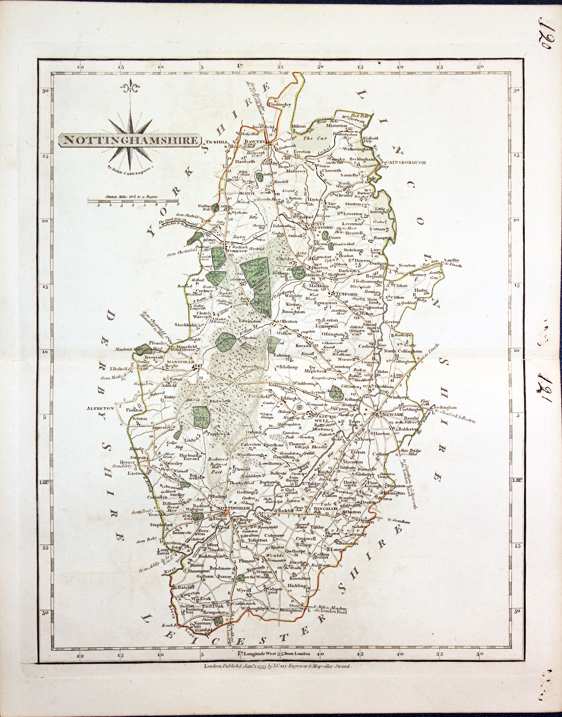
30999 Nottinghamshire, John Cary 1793. Price: 42.00
NOTTINGHAMSHIRE
A detailed and well engraved map of the county. Title panel and compass rose combined. Imprint of John Cary beneath dated 1793. 8 1/4 x 101/4 inches. Centre fold. Old manuscript numbering in blank margin 120 and 121. Original outline hand colouring. Good condition.
From: Cary’s New and Correct English Atlas
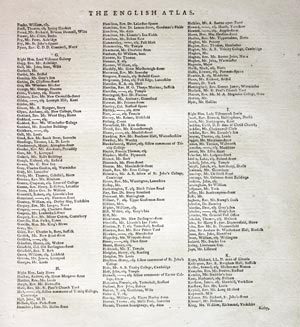
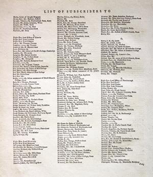
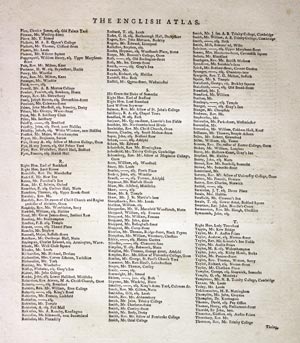
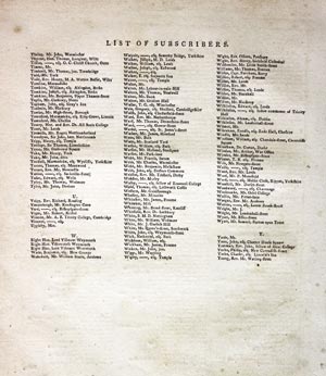
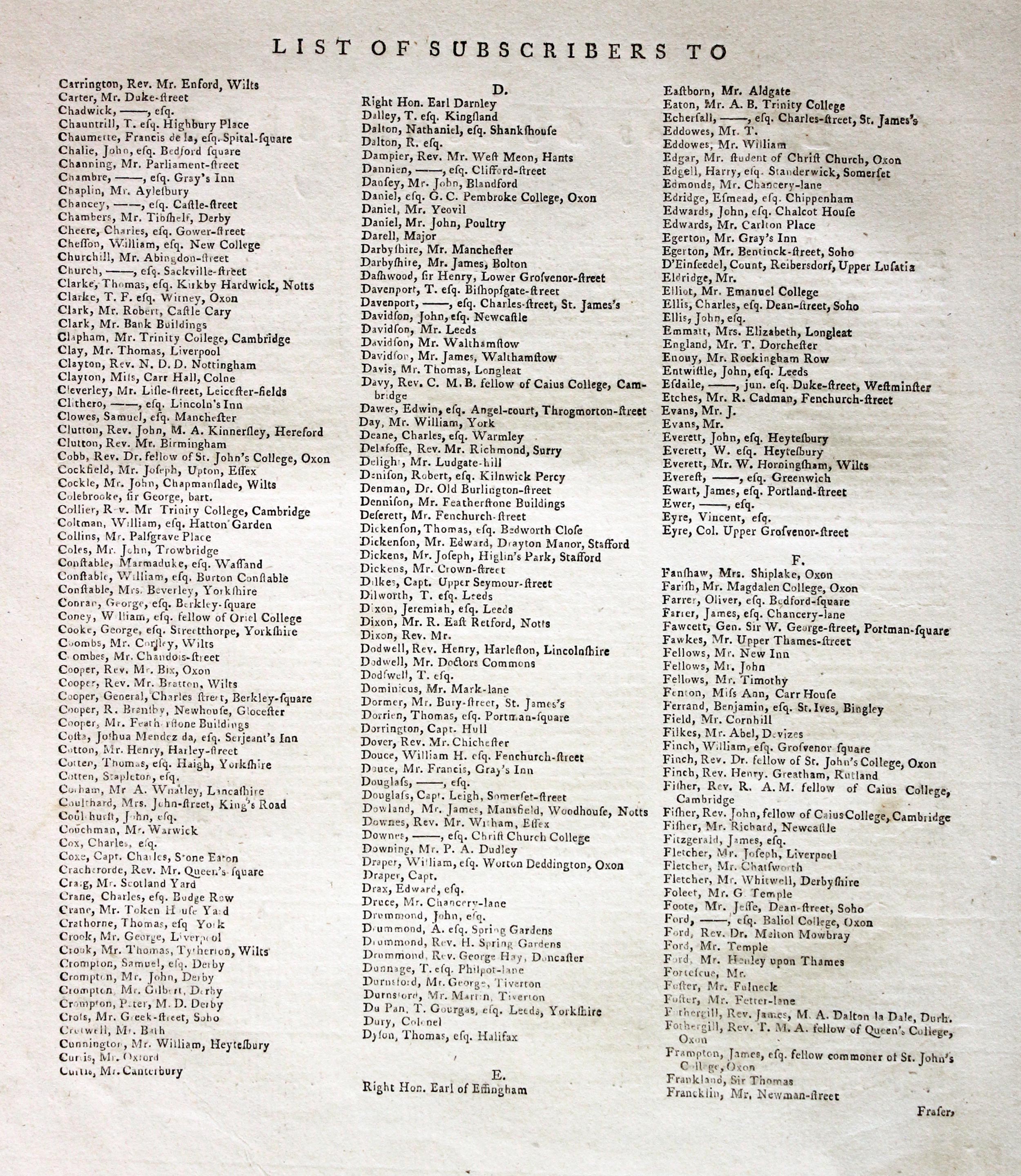
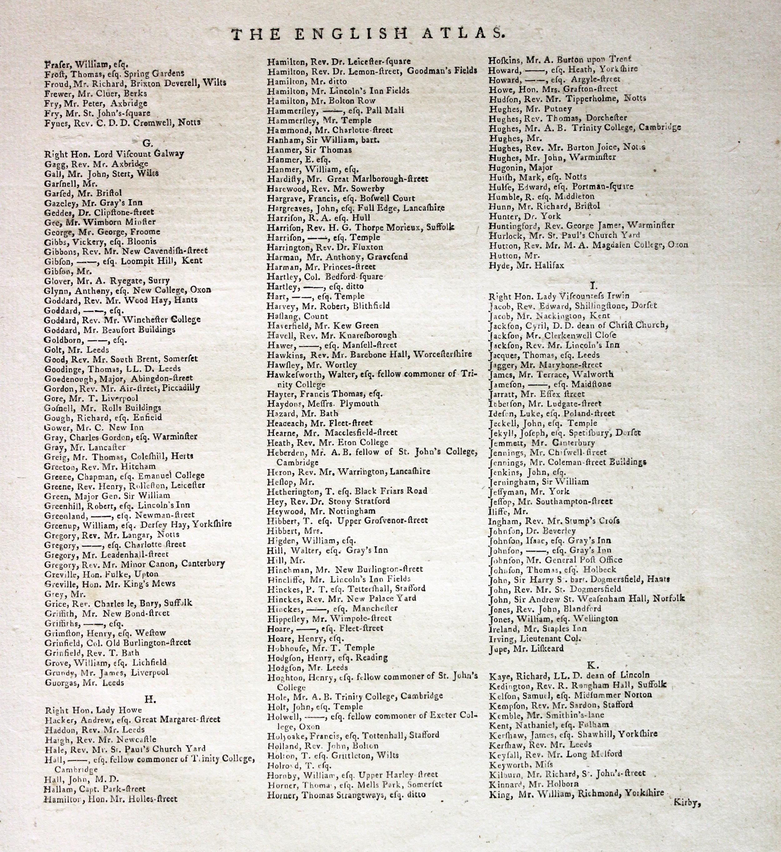
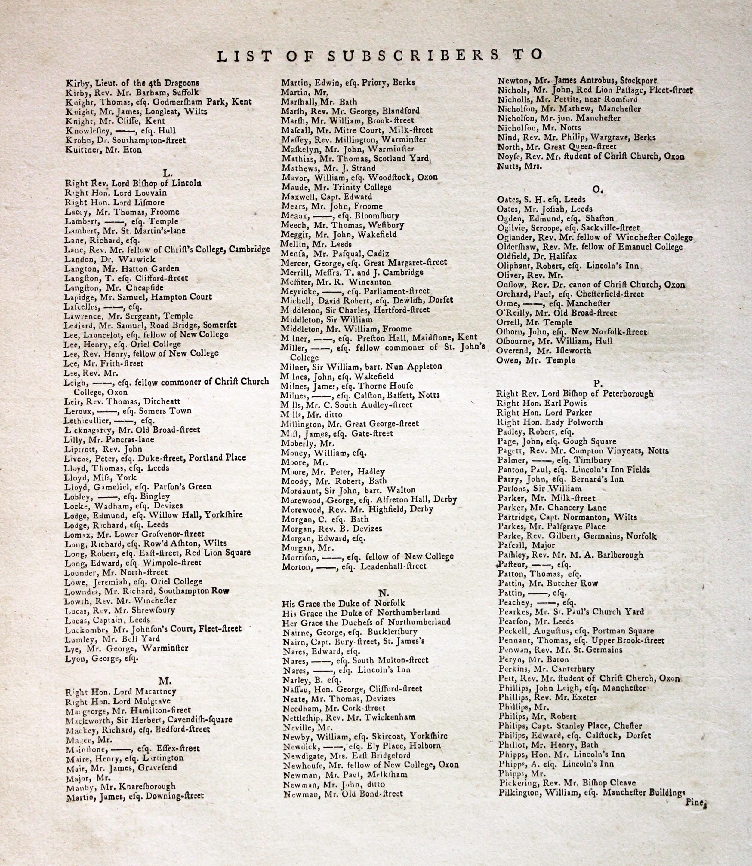
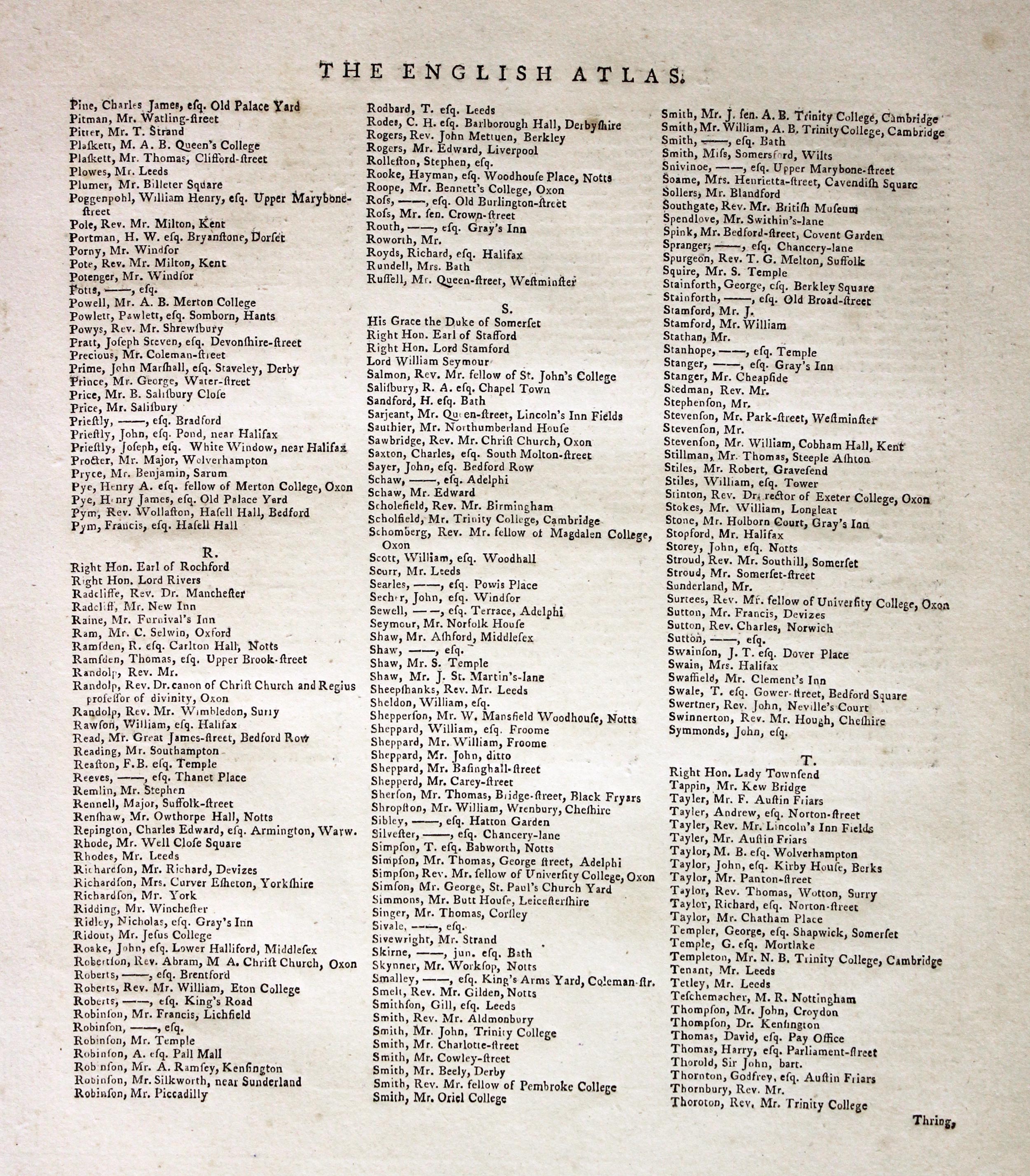
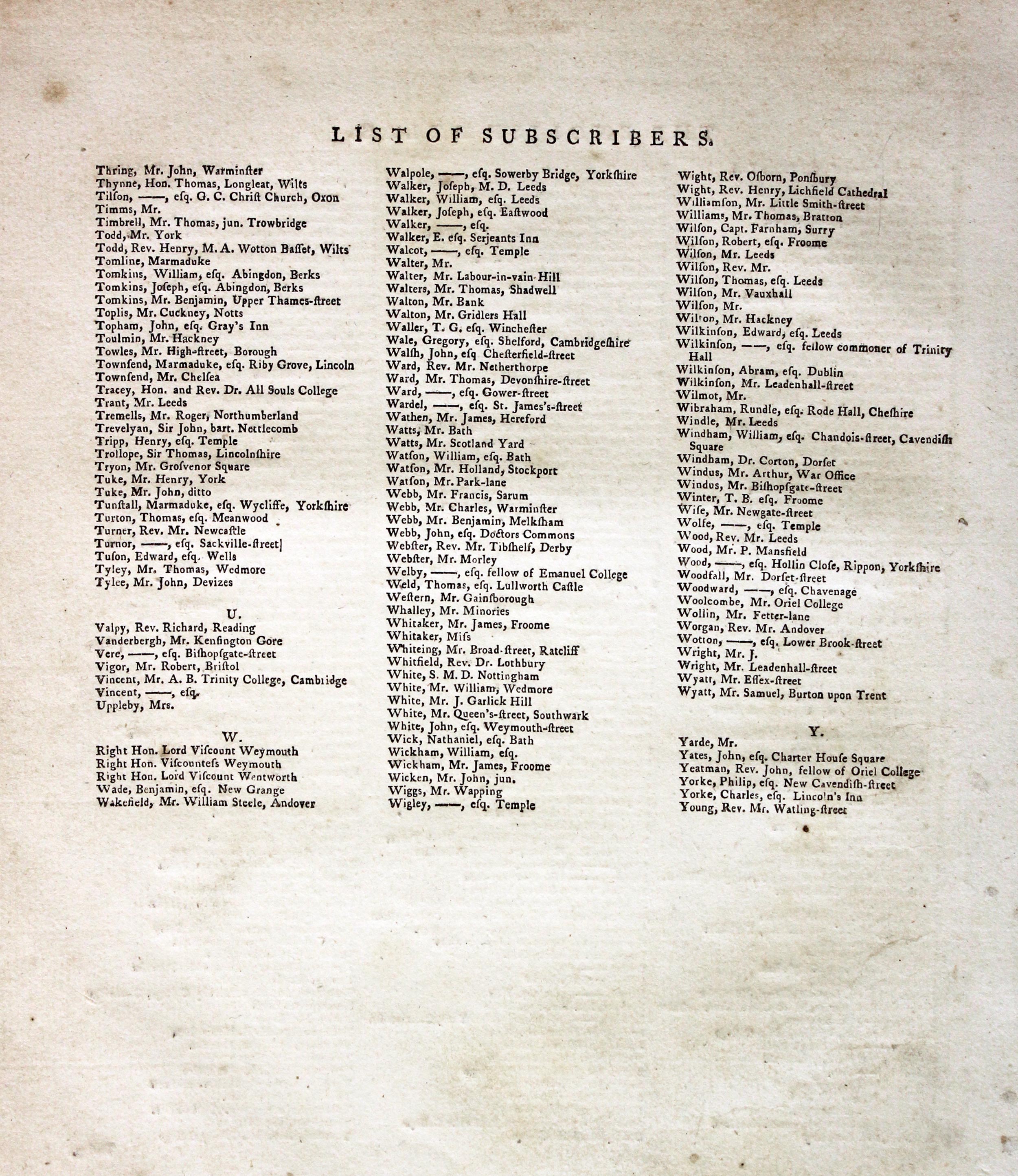
Subcribers to the First Edition
If you are thinking of buying this map you may be interested to see this list of the original subscribers to Cary's New and Correct English Atlas first published in 1787. It makes interesting reading and might even include one of your relatives.
-
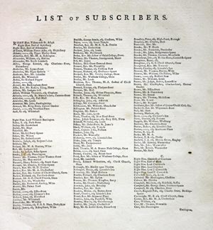
New and Correct English Atlas Subscribers
-

New and Correct English Atlas Subscribers
-
New and Correct English Atlas Subscribers
-
New and Correct English Atlas Subscribers
-
New and Correct English Atlas Subscribers
-
New and Correct English Atlas Subscribers

19th Century Map of Nottinghamshire showing the Railways
-

Nottinghamshire, Joshua Archer, c.1840

31212 Nottinghamshire, Joshua Archer, c.1840. Price: 18.00
NOTTINGHAMSHIRE
A detailed engraved map of the county divided into hundreds and showing the railways. 7 1/8 x 9 1/8 inches. Uncoloured. Very lightly toned. Good condition.
From: Dugdales England and Wales Delineated
First Edition of this Detailed 18th Century Map of Nottinghamshire
-

Nottinghamshire John Cary 1787
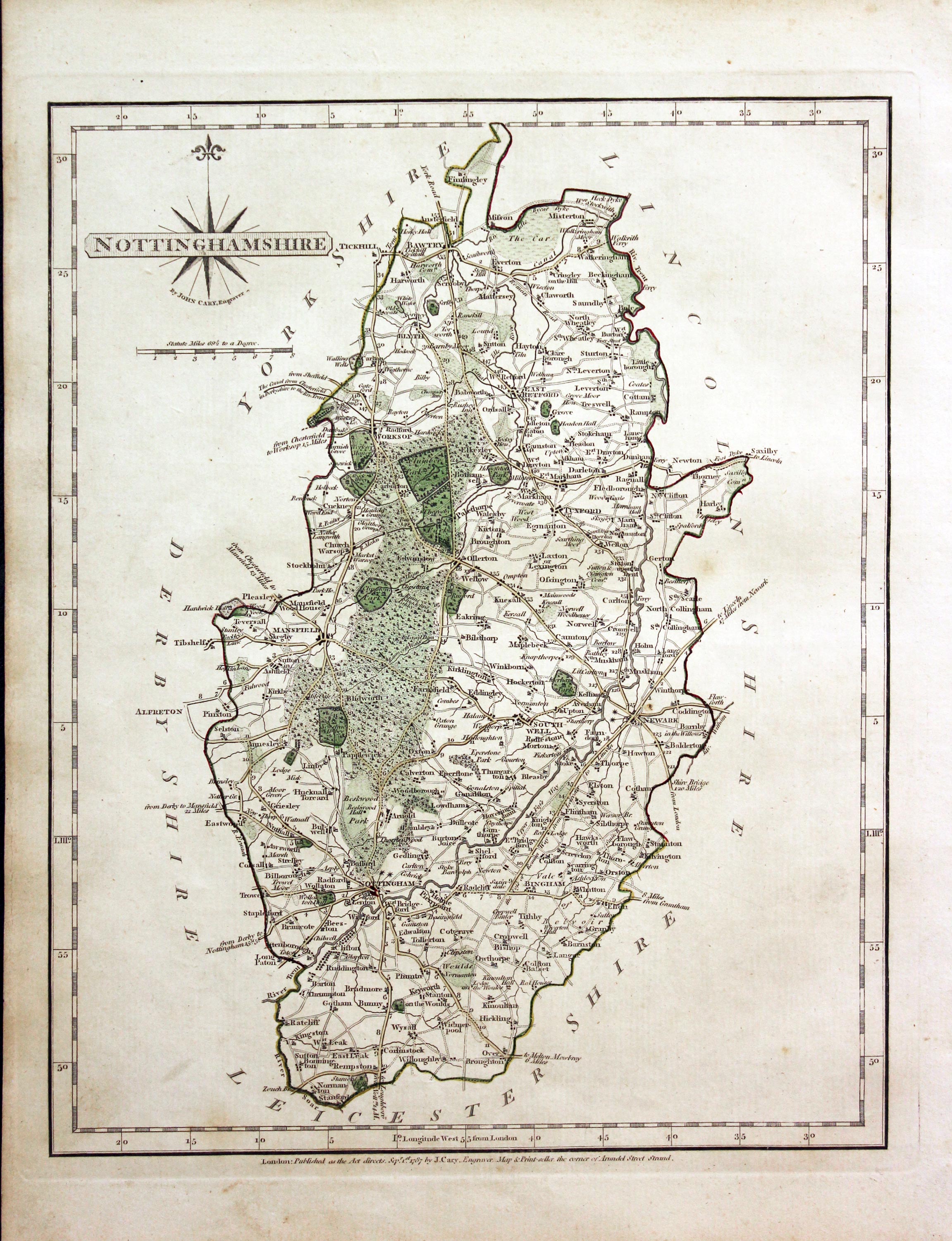
31297 Nottinghamshire, John Cary 1787. Price: 50.00
NOTTINGHAMSHIRE
The FIRST EDITION of this detailed and well engraved map of the county. Title panel and compass rose combined. Imprint of John Cary beneath dated 1787. 8 1/4 x 101/4 inches. Original outline hand colouring. Good condition. With this map is the original page of descriptive text.
From: Cary’s New and Correct English Atlas
Subcribers to the First Edition
If you are thinking of buying this map you may be interested to see this list of the original subscribers to Cary's New and Correct English Atlas first published in 1787. It makes interesting reading and might even include one of your relatives.
-
New and Correct English Atlas Subscribers
-
New and Correct English Atlas Subscribers
-
New and Correct English Atlas Subscribers
-
New and Correct English Atlas Subscribers
-
New and Correct English Atlas Subscribers
-
New and Correct English Atlas Subscribers
Detailed Vintage Map of Nottinghamshire by John Cary
-

Nottingahamshire, John Cary, 1802

31715 Nottinghamshire, John Cary, 1802. Price: 48.00
NOTTINGHAMSHIRE
A well engraved detailed map of the county with title panel and compass rose combined. Scale. Imprint of John Cary dated 1793. With original page of descriptive text. 8 1/4 x 10 1/4 inches. Original outline hand colouring. Good condition. I have dated this map 1802 because the paper is watermarked 1802. The title page of the atlas is dated 1793.
From: Cary's New and Correct English Atlas
Small Detailed 18th Century County Map of Nottinghamshire
-
Map of Nottinghamshire, John Cary, 1792
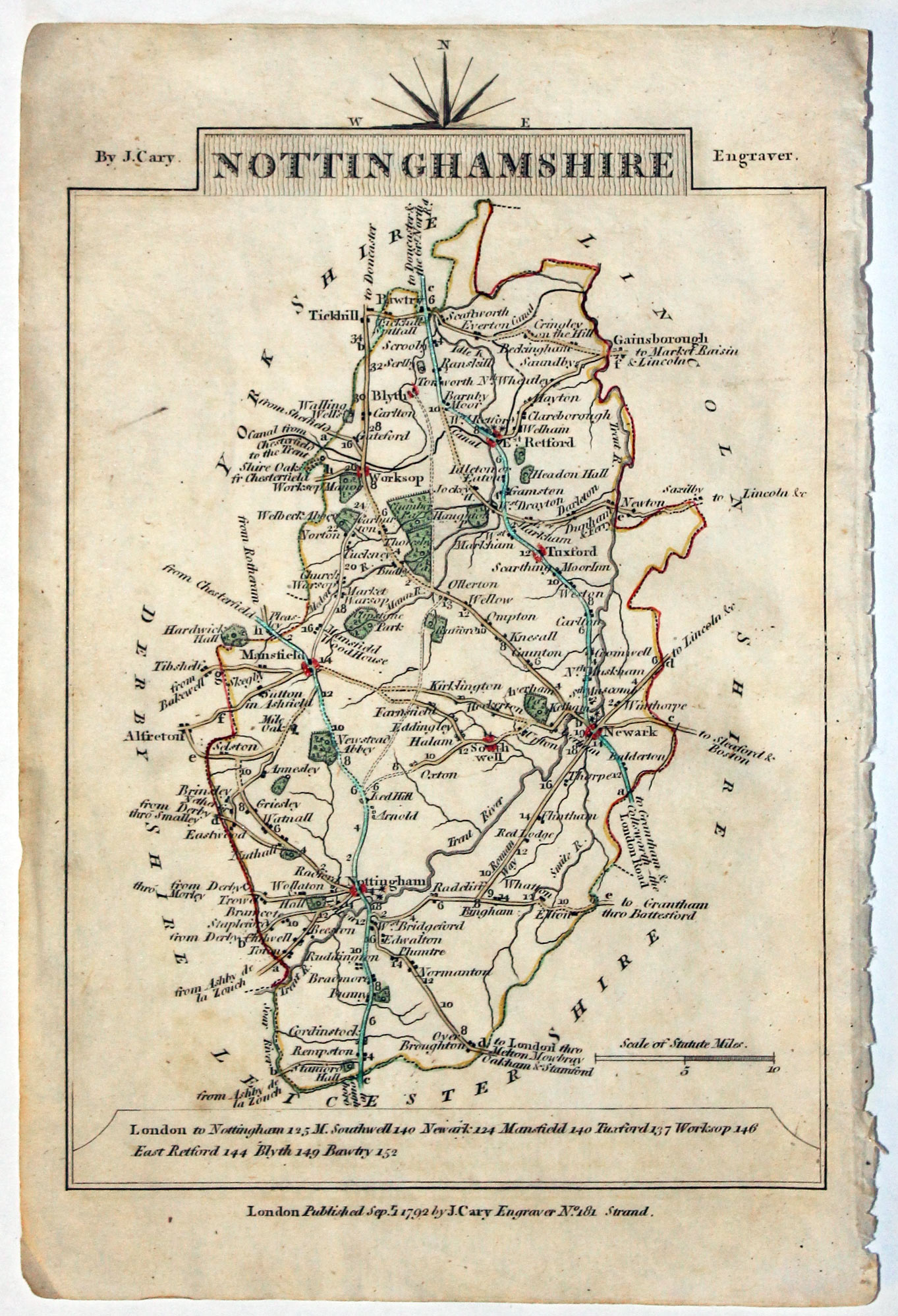
32554 Nottinghamshire, John Cary, 1792. Price: 18.00
NOTTINGHAMSHIRE A small engraved map of the county. Tile panel surmounted by half compass rose. Panel at bottom with list of distances from London. Publisher’s imprint beneath dated 1792. 3 1/2 x 4 3/4 inches. Thin paper. Original outline hand colouring. Good condition.
From: Cary’s Traveller’s Companion
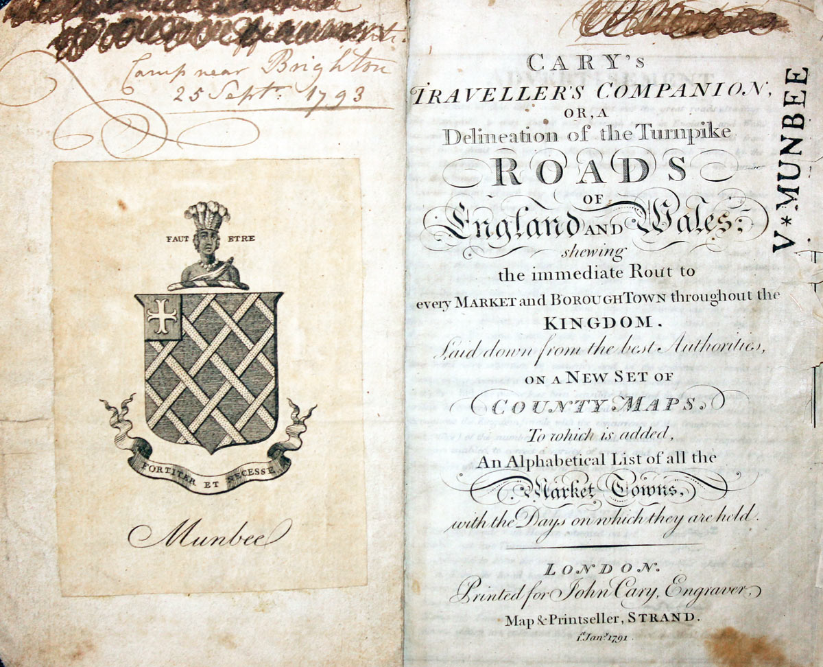
Title page dated 1791, maps dated 1792. The atlas was formerly in the Mumbee family library - title page stamped V. Munbee
Provenance
-
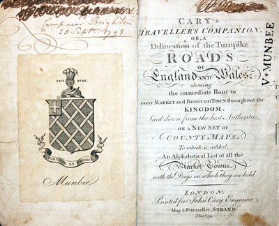
Cary Titlepage and Munbee Bookplate

Lovely 17th Century Miniature Map of Nottinghamshire
-

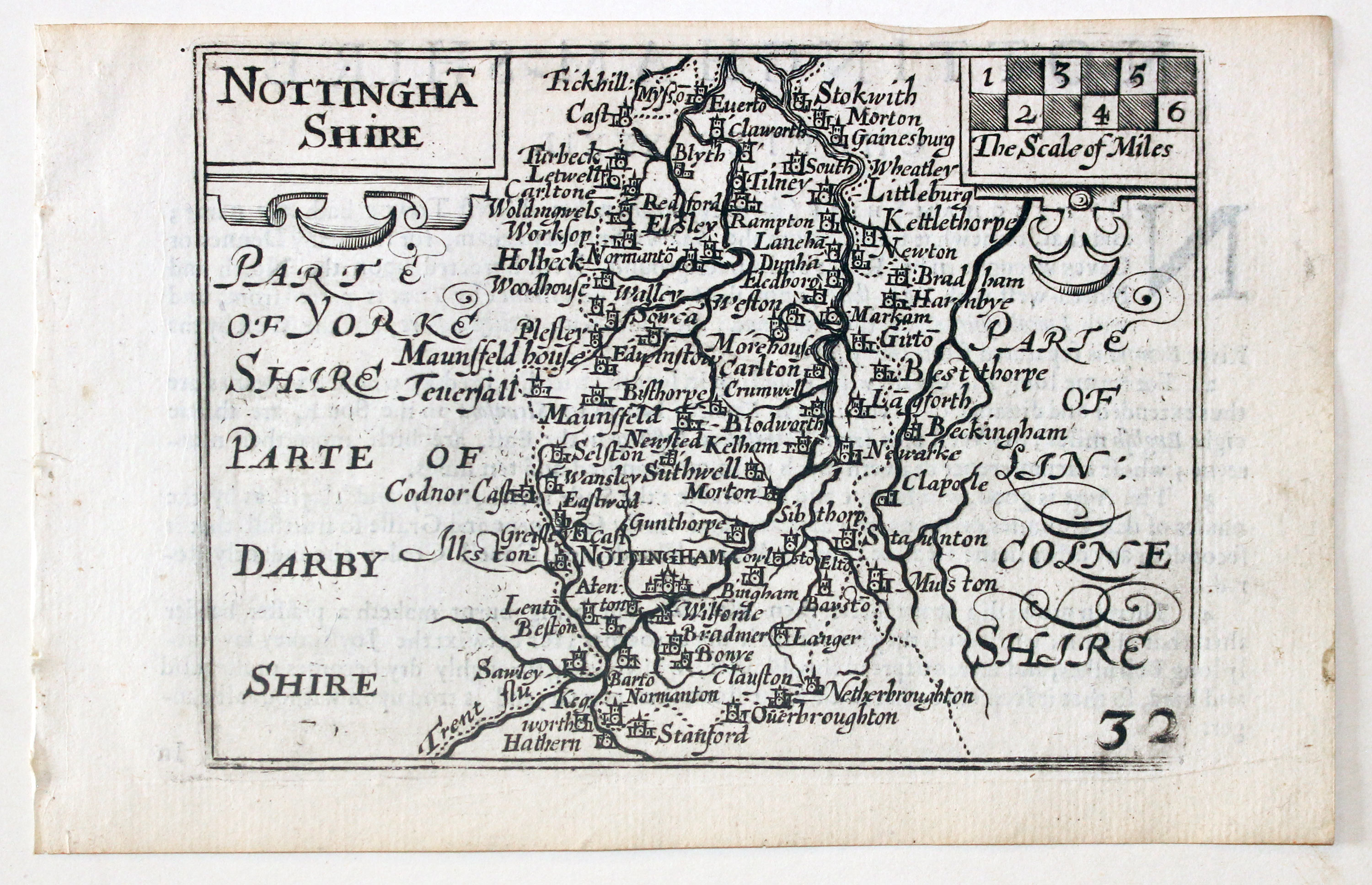
Nottinghamshire by Pieter van den Keere, c.1627
-
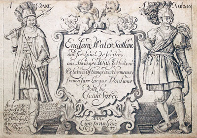
Pieter van den Keere Atlas Titlepage, c.1627
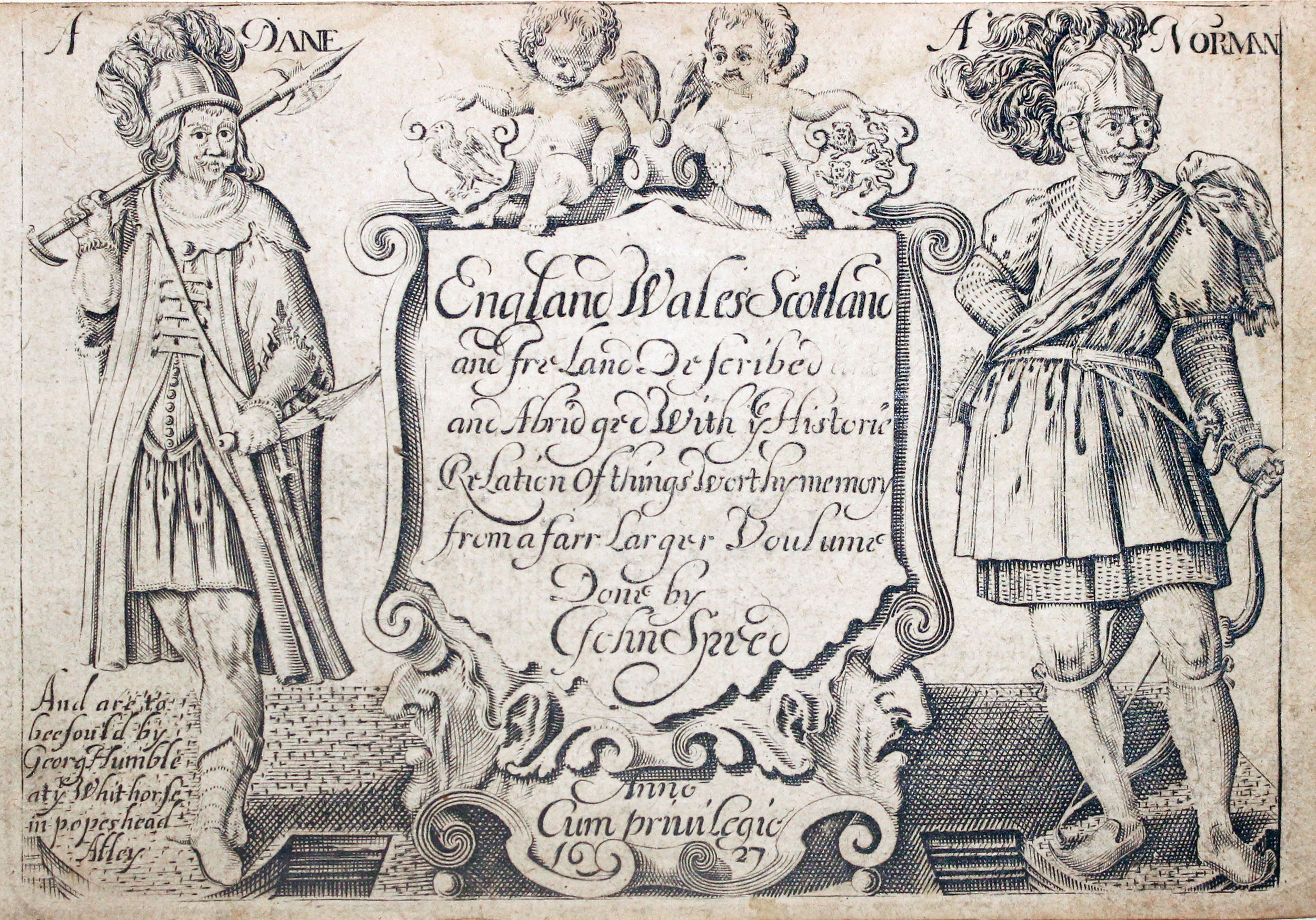
32646 Nottinghamshire, Pieter van den Keere, c.1627. Price: 69.00
NOTTINGHA SHIRE A early engraved miniature map of Nottinghamshire. Embellished with title and scale cartouches. Numbered 32. 4 3/4 x 3 1/4 inches. A clean undamaged uncoloured specimen. On verso is the start of a description of Lincolnshire in English. With this map is the following original double sided page of text that concludes the description of the county. Straight from the atlas and not previously sold as a single map. The title page of the atlas is dated 1627
From: England Wales Scotland and Ireland Described
Good Detailed 19th County Map of Nottinghamshire
-

Map of Nottinghamshire, James Pigot c.1830
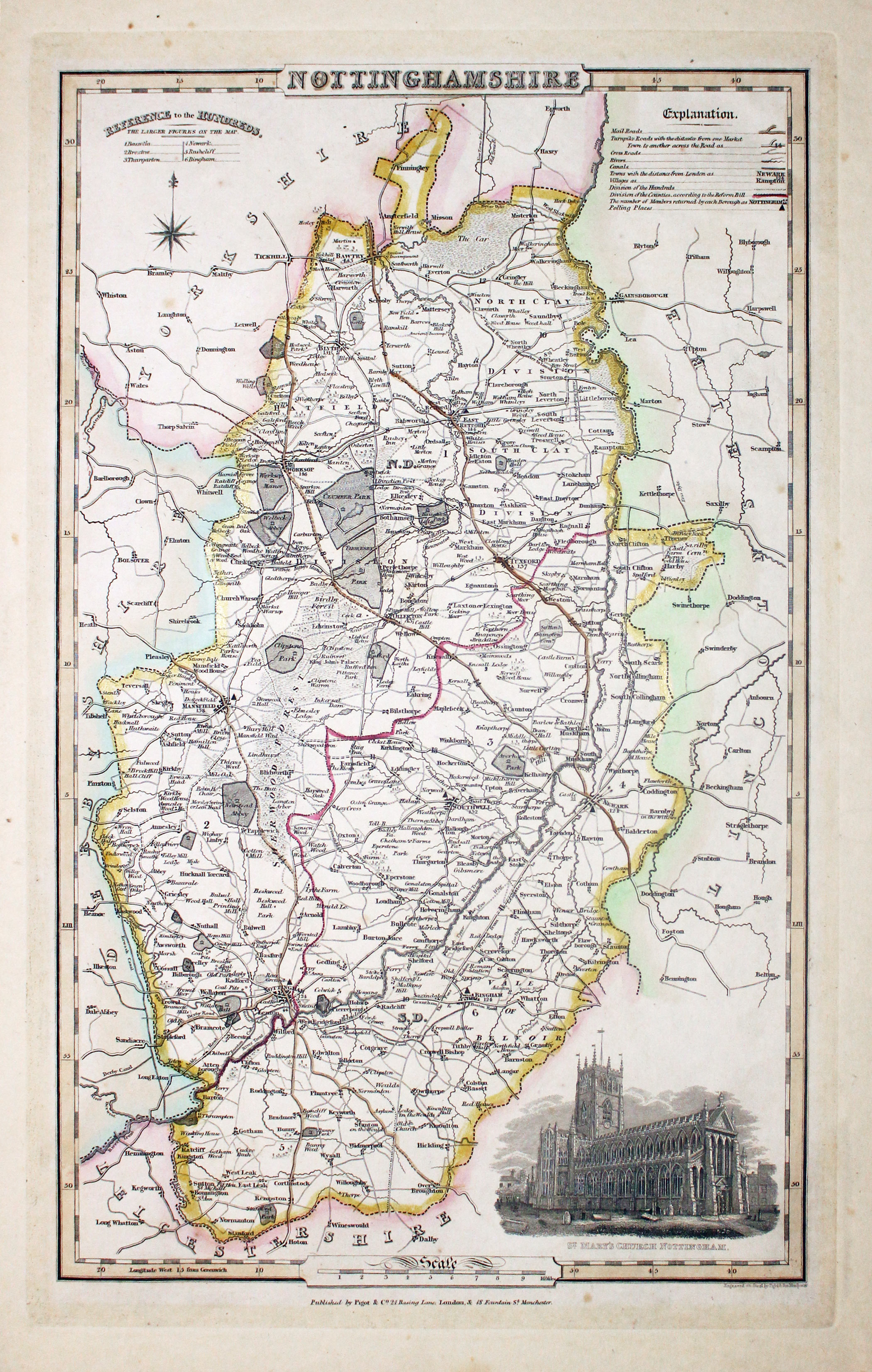
32849 Nottinghamshire, James Pigot, c.1830. Price: 54.00
NOTTINGHAMSHIRE
An engraved map of the county with title, scale, explanation and list of hundreds. Embellished with an uncoloured view of St. Mary’s Church, Nottingham. Imprint of the publishers Pigot & Co. 24 Basing Lane & 18 Fountains St. Manchester beneath. 8 3/4 x 14 inches. Original outline hand colouring. A few very small foxing spots in the blank margins. Some browning on verso from hand colouring. Otherwise good condition.
From: British Atlas
Detailed 19th Century Map of Nottinghamshire with Early Hand Colouring
-

Map of Nottinghamshire, Samuel Lewis 1848

32938 Nottinghamshire, Samuel Lewis, 1848. Price: 21.00
NOTTINGHAMSHIRE
A county map drawn by R. Creighton and engraved by J. & C. Walker. Reference to the Unions. Scale and compass rose. 6 3/4 x 9 inches. Original outline hand colouring. Good clean condition. Straight from the atlas and not sold as a single map before now.
From Lewis' Atlas to the Topographical Dictionaries of England and Wales
Detailed Late 19th Century Map of Nottinghamshore
-

Map of Nottinghamshire by Thomas Letts
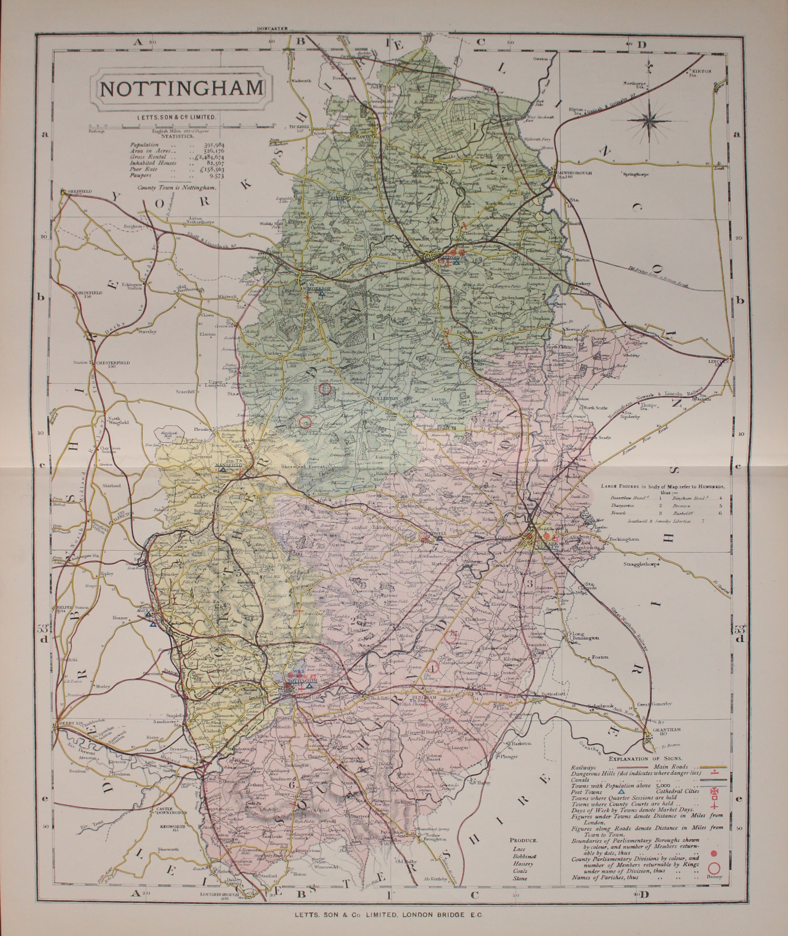
32981 Nottinghamshire, Thomas Letts, 1884. Price: 24.00
NOTTINGHAM
A detailed chromolithograph map of the county. Explanation plus statistics concerning Population, Area, Inhabited Houses, Poor Rate and Paupers. 15 1/2 x 12 1/2 inches. Original centre fold. Imprint of Letts & Son beneath. Fine clean condition. Straight from the atlas so never previously been sold as a single map.
From: Lett’s Popular County Atlas
Interesting 18th Century Map of Nottinghamshire by John Harrison
-
Map of Nottinghamshire by Thomas Letts
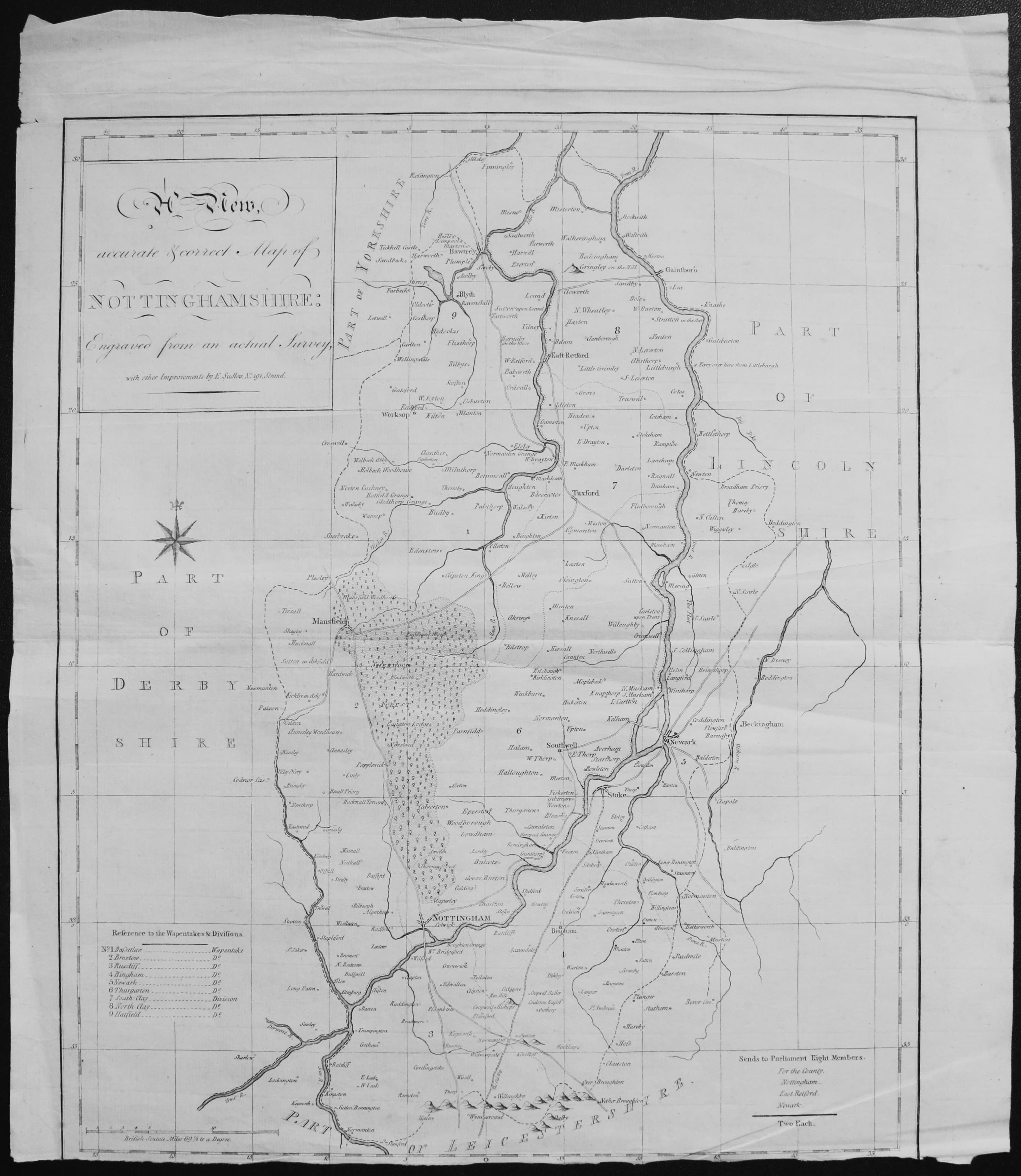
33059 Nottinghamshire, E. Sudlow/John Harrison, 1815. Price: 9.00
A New Accurate Map of Nottinghamshire: Engraved from an actual Survey with other Improvements by E. Sudlow No 191 Strand
A clearly engraved map of the county with title panel. Uncoloured. Original centre fold. 14 x 17 inches. Uncoloured. Bottom of the printed margin trimmed. Small single tear in blank margin. Some creasing.
From: The English Counties by John Harrison published by John Harrison, 115 Newgate Street
Special Price owing to condition
19th Century Map of Nottinghamshire showing the Railways
-
Nottinghamshire, Joshua Archer, c.1840
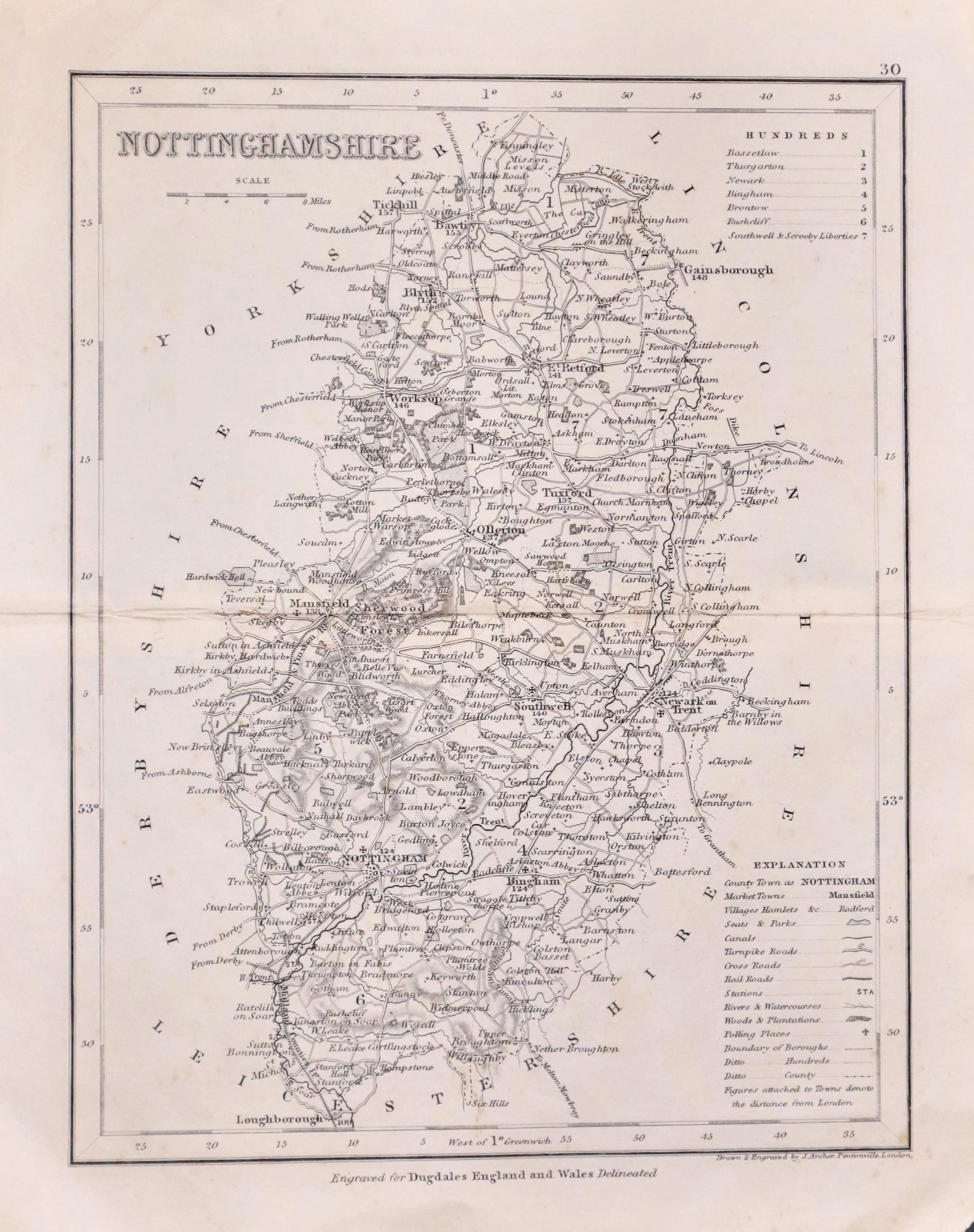
33139 Nottinghamshire, Joshua Archer, c.1840. Price: 18.00
NOTTINGHAMSHIRE
A detailed engraved map of the county divided into hundreds and showing the railways. 7 1/8 x 9 1/8 inches. Uncoloured. Original centre fold. Very slight creasing in the top right hand margin corner otherwise good condition.
From: Dugdales England and Wales Delineated
17th Century Map of Nottinghamshire by Joan Blaeu - Original Hand Colouring
-
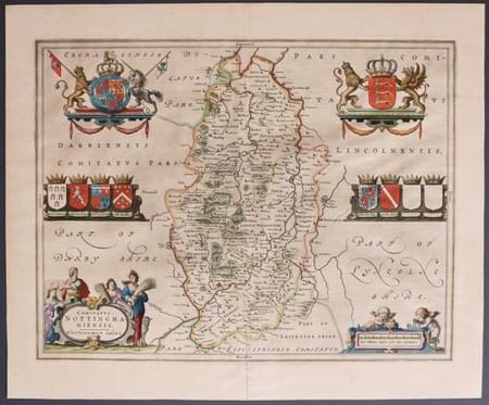
Nottinghamshire, Joan Blaeu 1663
-
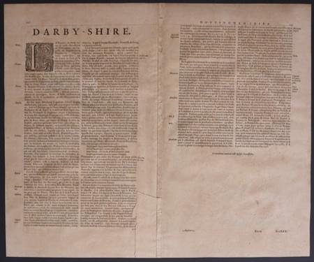
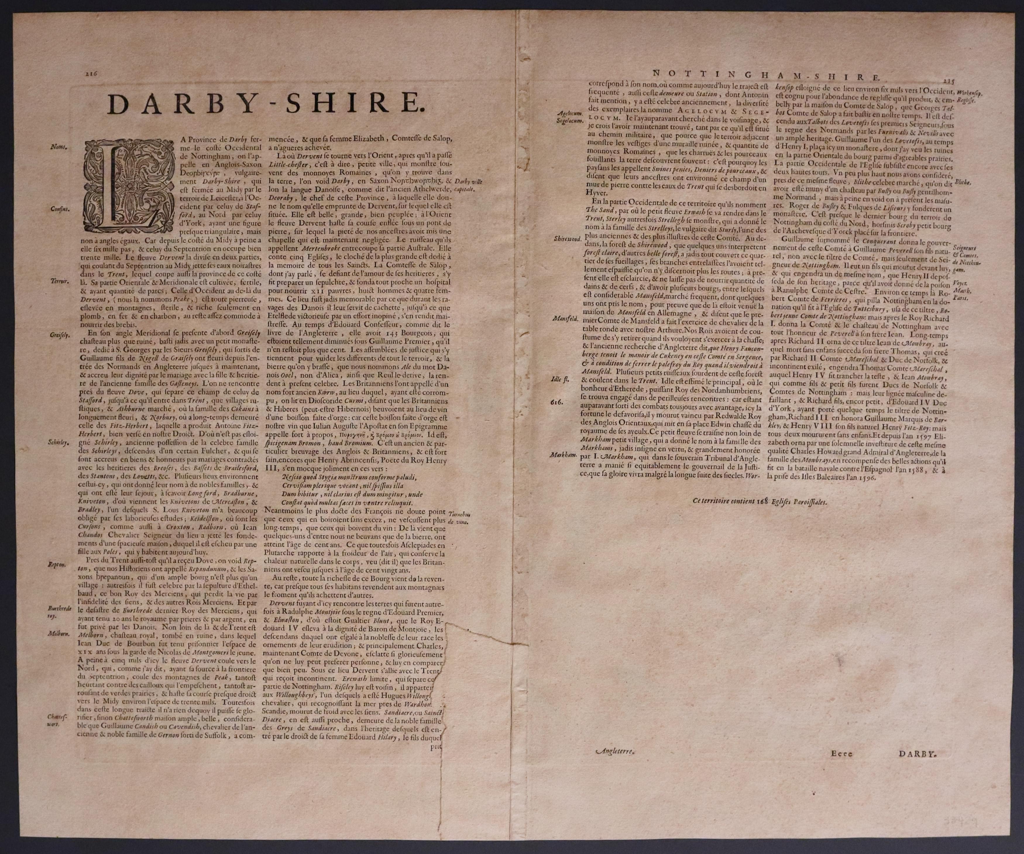
French text on verso of Nottinghamshire, Joan Blaeu 1663

33429 Nottinghamshire, Joan Blaeu, 1663. Price: 295.00
COMITATUS NOTTINGHAMIENSIS. NOTTINGHAM SHIRE
A fine engraved 17th century map of the county with French text on verso. Decorative title cartouche with figures of harvesters. Scale cartouche with putti. Royal Arms and the Arms of England with supporters. Six coats of arms of the nobility and two blank shields. 19 3/4 x 15 1/4 inches. Fine original hand colouring. Original centre fold. Split at the bottom of the centre fold repaired on verso. Otherwise good condition.
From Blaeu’s Atlas Major
18th Century - First Edition
-

Nottinghamshire, Robert Morden 1695
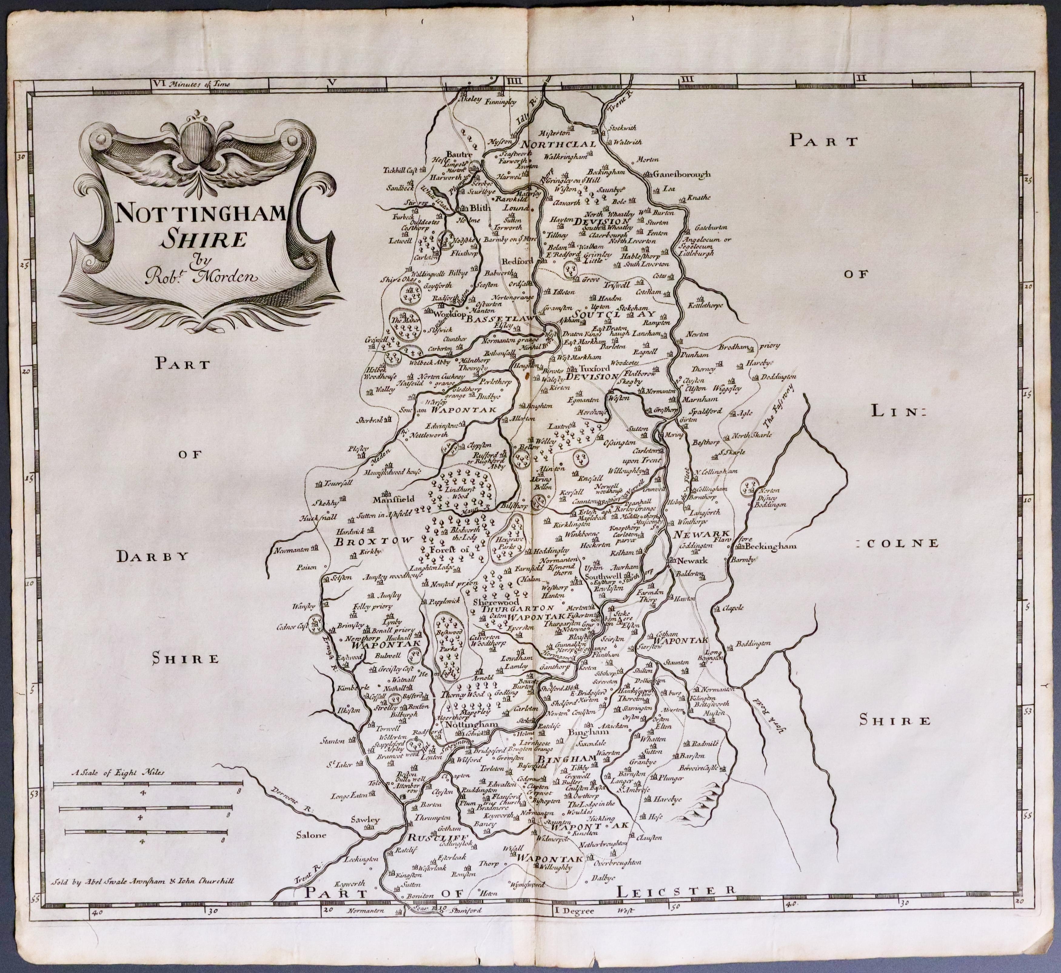
33502 Nottinghamshire Robert Morden 1695. Price: 69.00
NOTTINGHAM SHIRE BY ROBT. MORDEN
The FIRST EDITION of this good engraved late 17th century map of the county divided into wapontakes. Decorative title cartouche. Three scales. Imprint of the publishers Abel Swale with Awnsham and John Churchill. 16 x 13 inches, 420 x 347 mm. Uncoloured. Two small nicks on the edge of the bottom blank margin otherwise good clean condition. This map has been taken straight from the atlas and therefore not previously offered for sale as a single map. One of the first maps of the county to show the main coach roads following Ogilby’s survey some 20 years earlier.
From: Camden's Britannia
RICHARD NICHOLSON
of CHESTER
Stoneydale
Pepper Street
Christleton
Chester
CH3 7AG
Telephone
01244 336004
International 44 1244 336004

I have been buying and selling antique maps since the early 1960's during which time I had a gallery in Watergate Street, Chester for 30 years. I am now able to offer through my websites a personal service to map and print collectors.