RICHARD NICHOLSON of CHESTER
A WORLD OF ANTIQUE MAPS AND PRINTS
The Cartographer
THOMAS JENNER
Flourished 1618 - died in 1673
Thomas Jenner was a bookseller, engraver and publisher working in London. He was also a Freeman of the Grocers' Company.
Addresses:
- Whit Beare in Cornwale (Cornhill) from 1618
- White beare by ye Exchange from c.1622 to 1624
- South Entrance of the Royal Exchange 1643, 1644, 166
- At the Royal Exchange 1672
After his death in 1673 the shop and business were acquired by John Garrett who continued to issue his maps. To collectors of British maps and plans he is best known for his work A Direction fro the English traveller published in 1643 and 1668. John Garrett published it again in 1677 and 1680
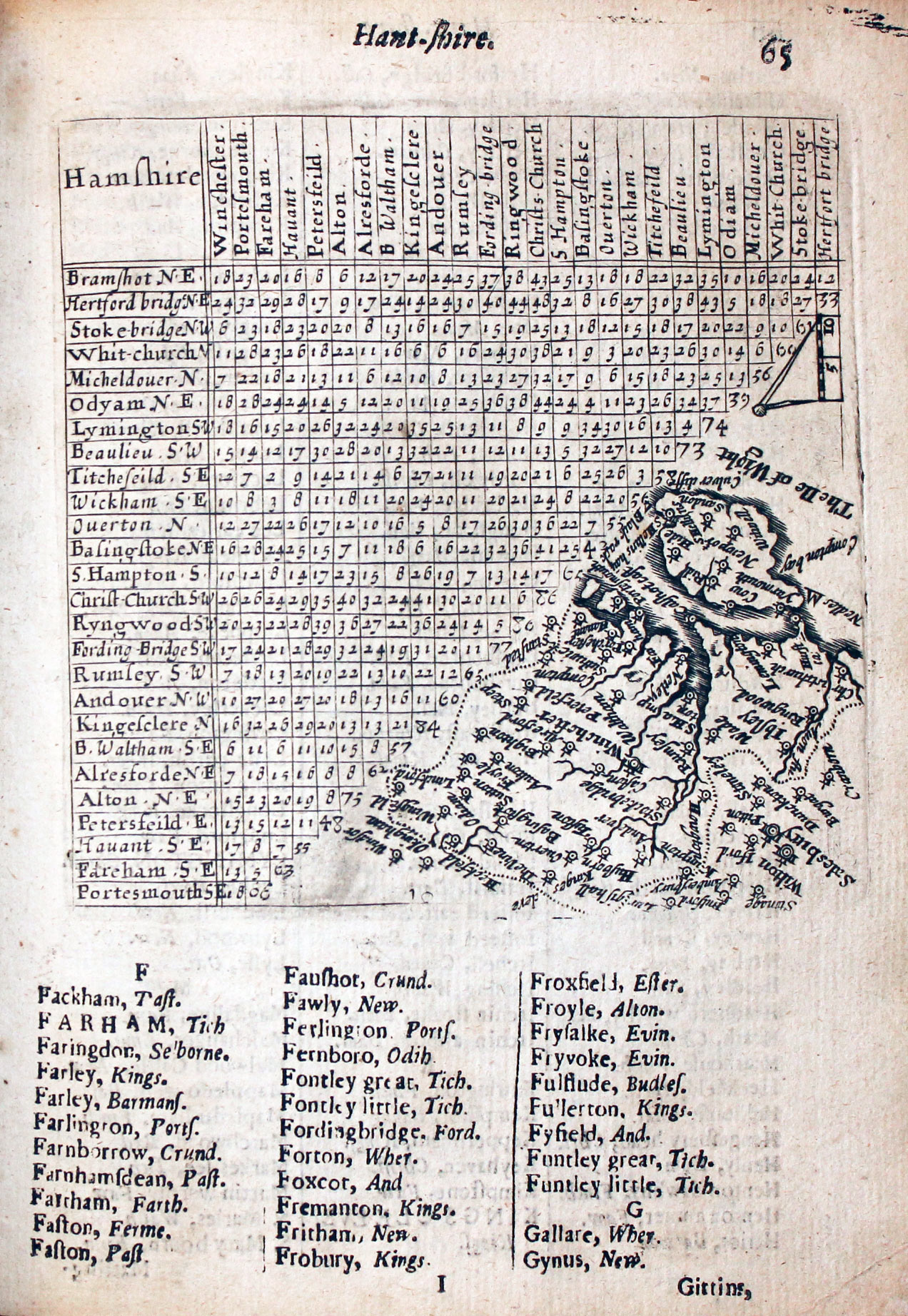
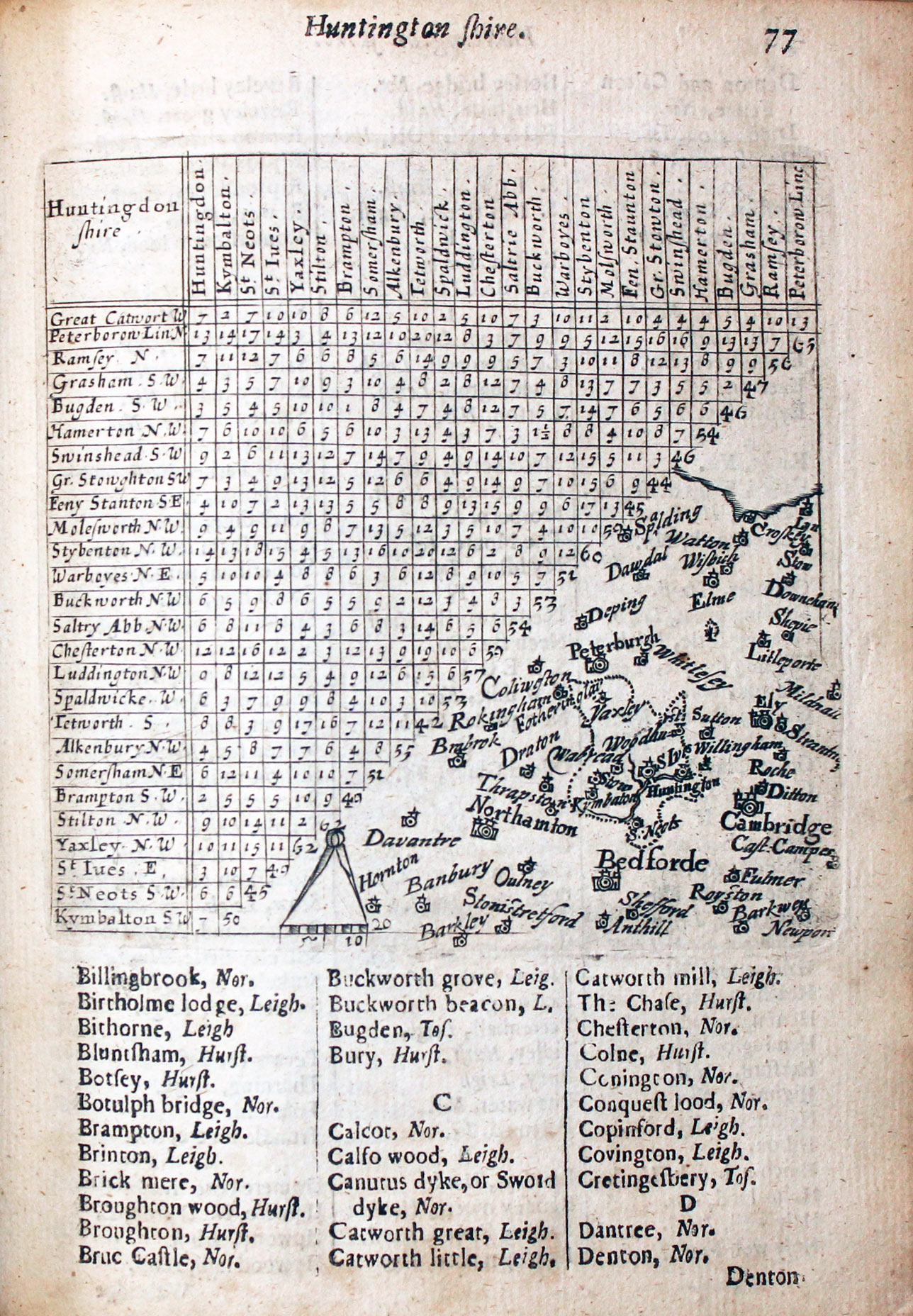
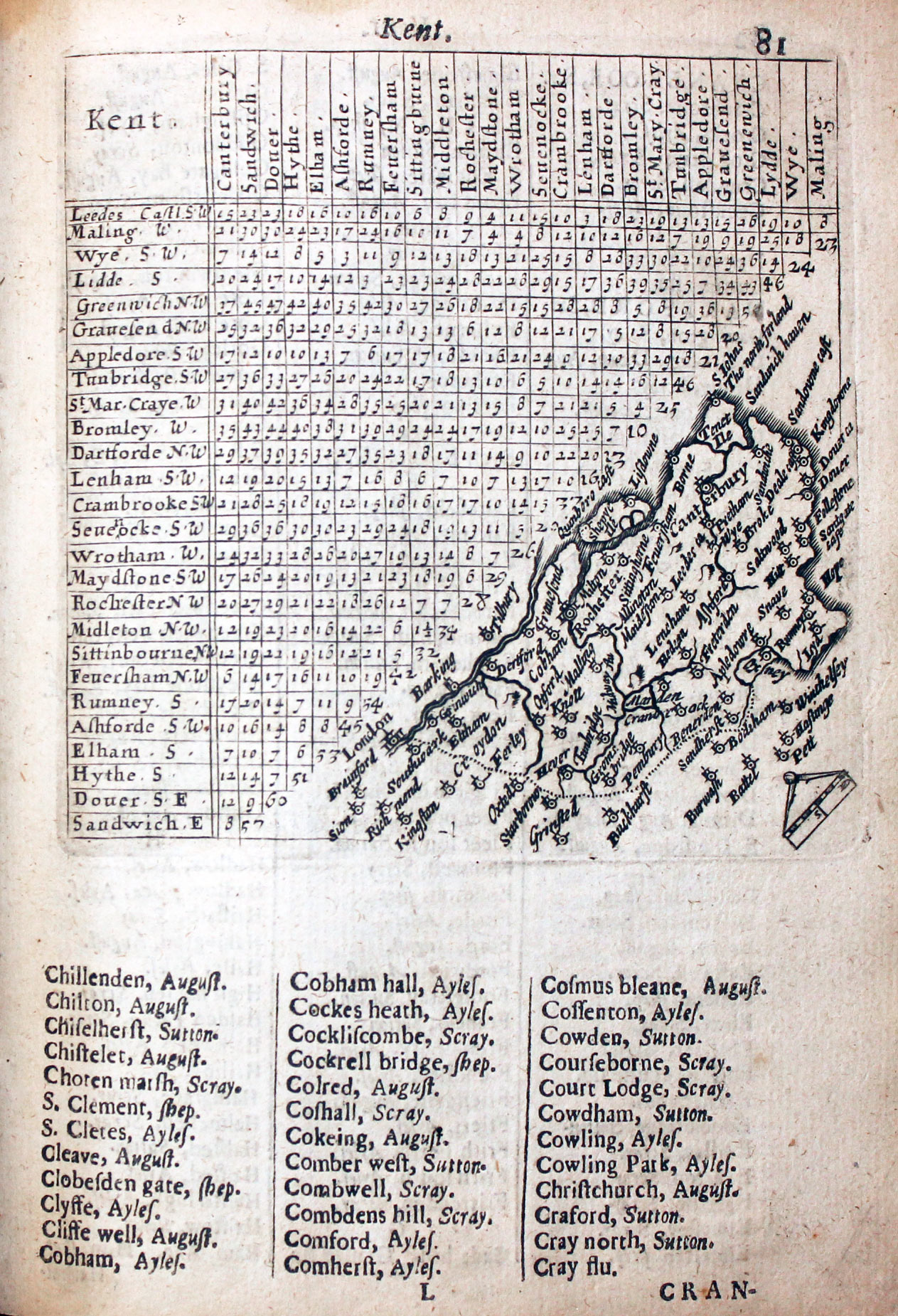
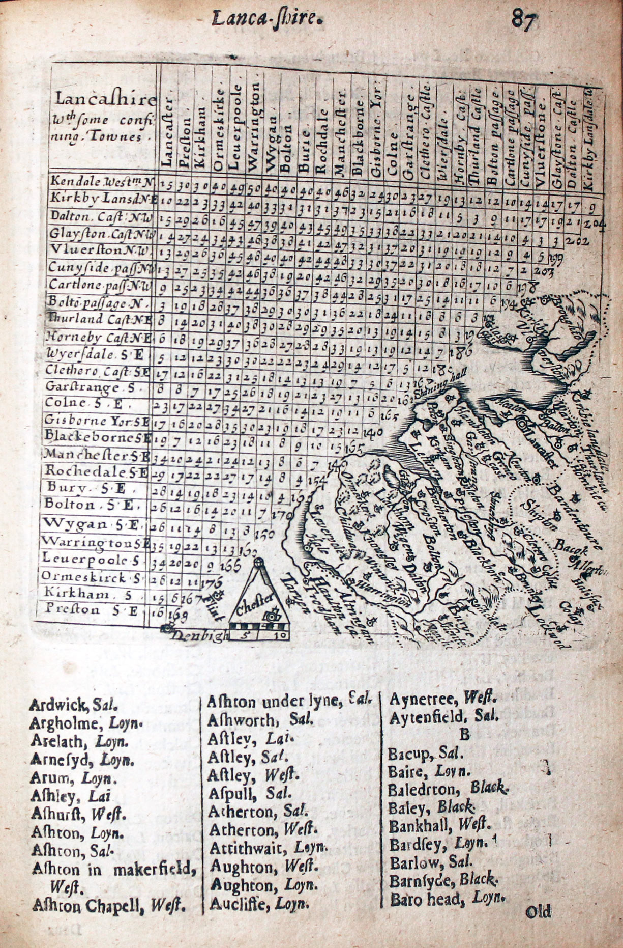
Thomas Jenner had acquired the thirty seven plate showing a small county map and distance table engraved by Jacob van Langeren used by Matthew Simmons for his book with the same title in 1635. See Matthew Simmons The small thumbnail maps were erased from the plates and replaced with a larger and more detailed map for the traveller. From 1668 all the plates had been retouched and printed on larger pages with the text below.
-

Jenner title page dated 1657
-

Title page dated 1643
-

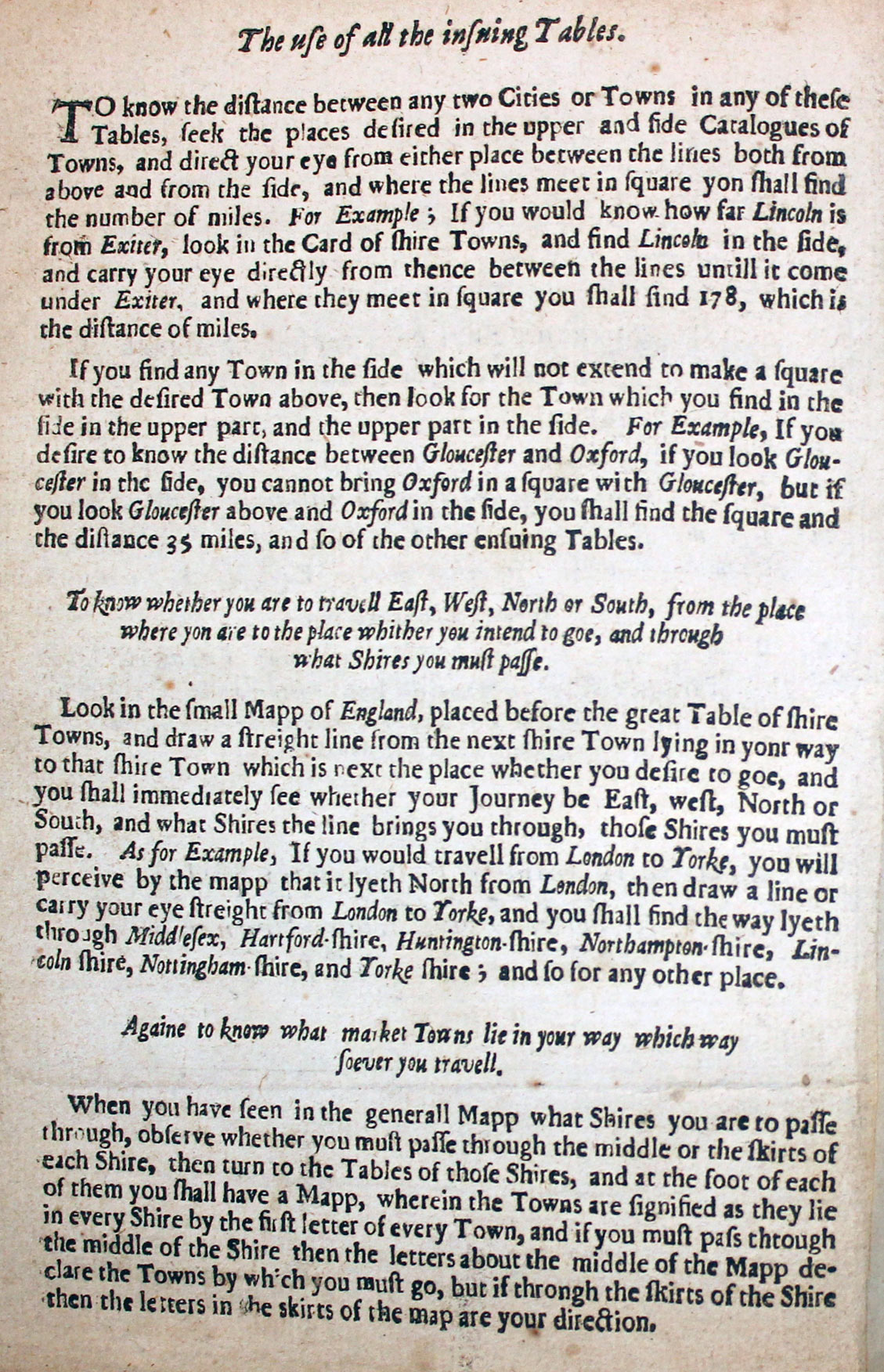
How to use the tables on Thomas Jenner maps
Editions of A Direction for the English Traveller
- 1635. Published by Matthew Simmons with reprints in 1636
- 1643. Reprinted and published by Thomas Jenner. New larger maps. Three new maps added - England, Wales and Yorkshire. Further editins in 1657, 1662, 1668, 1677 and 1680.
The maps also appeared in
1649 A Booke of the names of all the Hundreds contained in the Shires of the Kingdom of England printed for Thomas Jenner
1657 A Book of the Names of Parishes, Market Towns, Villages, Hamlets and Smallest Places in England by M.S. (Mary Simmons, wife of Matthew Simmons) for Thomas Jenner [Illustration above]
Map Gallery
-
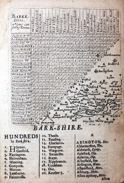
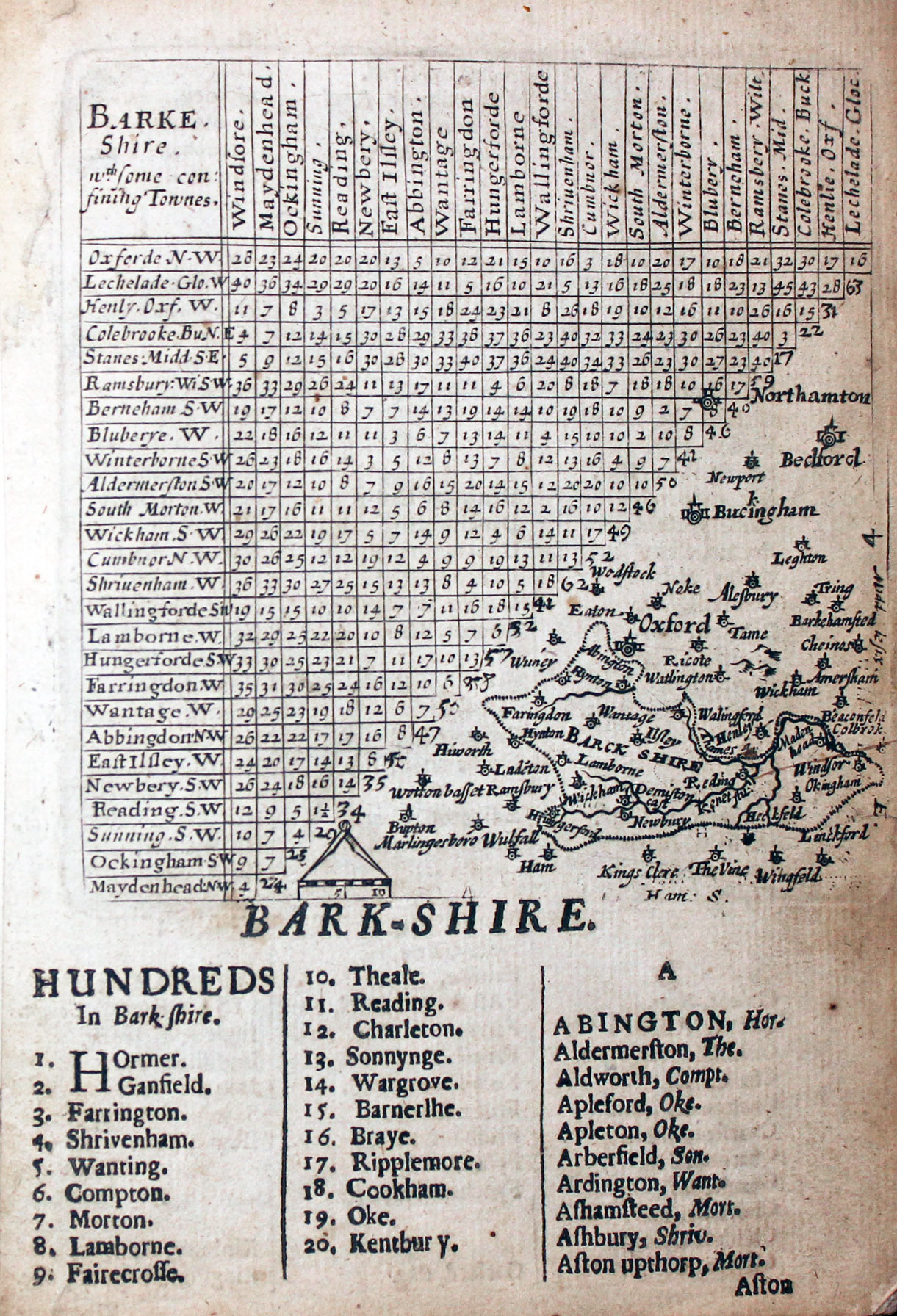
Map of Berkshire by Thomas Jenner, 1657
-

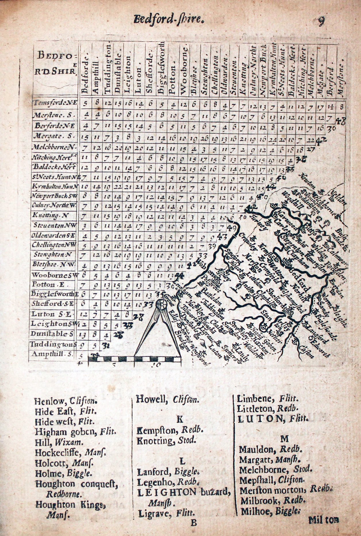
Map of Bedfordshire by Thomas Jenner, 1657
-

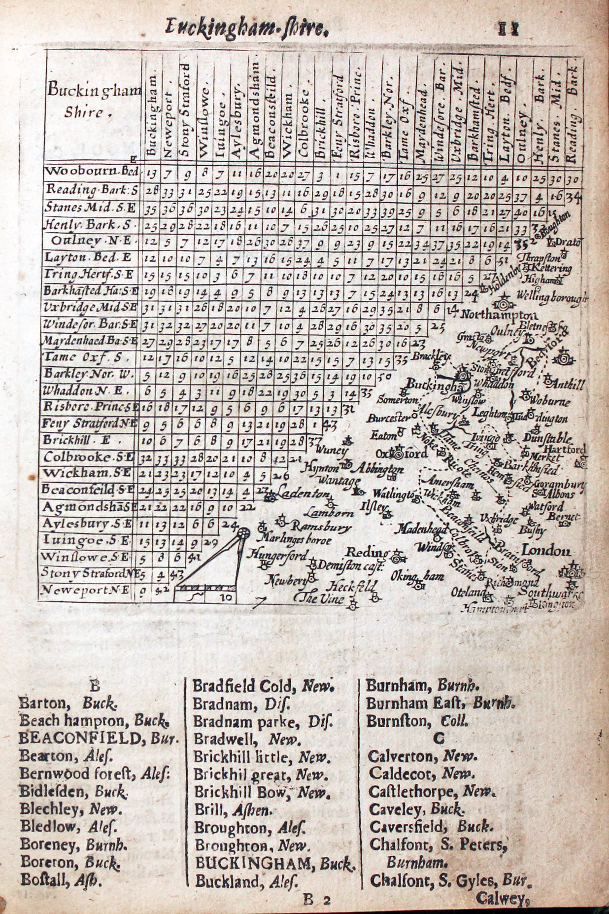
Map of Buckinghamshire by Thomas Jenner, 1657
-

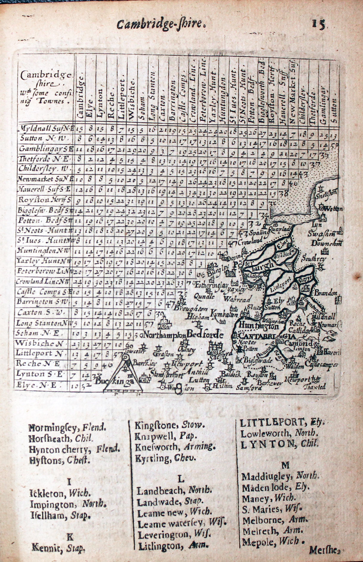
Map of Cambridgeshire by Thomas Jenner, 1657
-

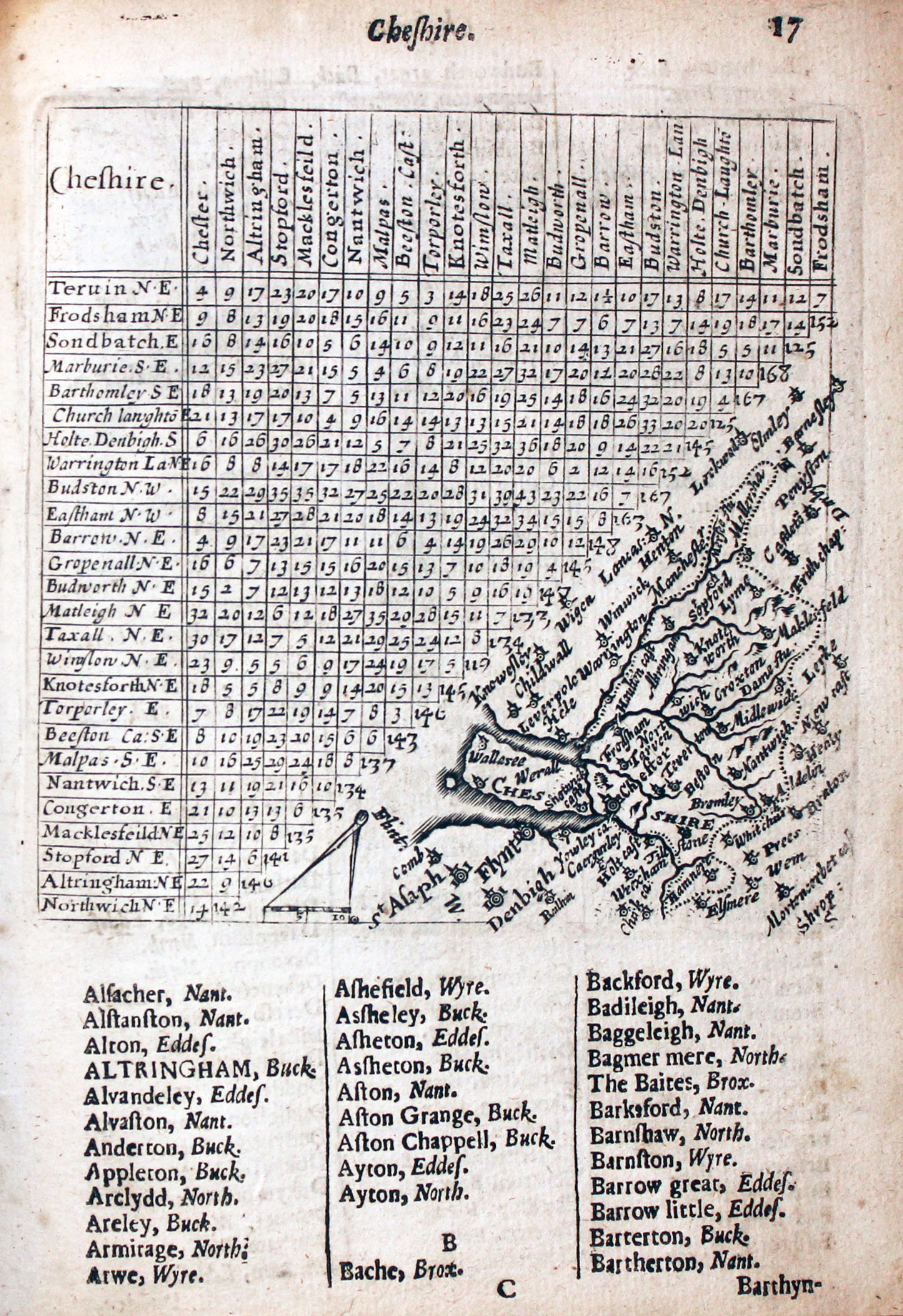
Map of Cheshire by Thomas Jenner, 1657
-

Map of Cornwall by Thomas Jenner, 1657
-

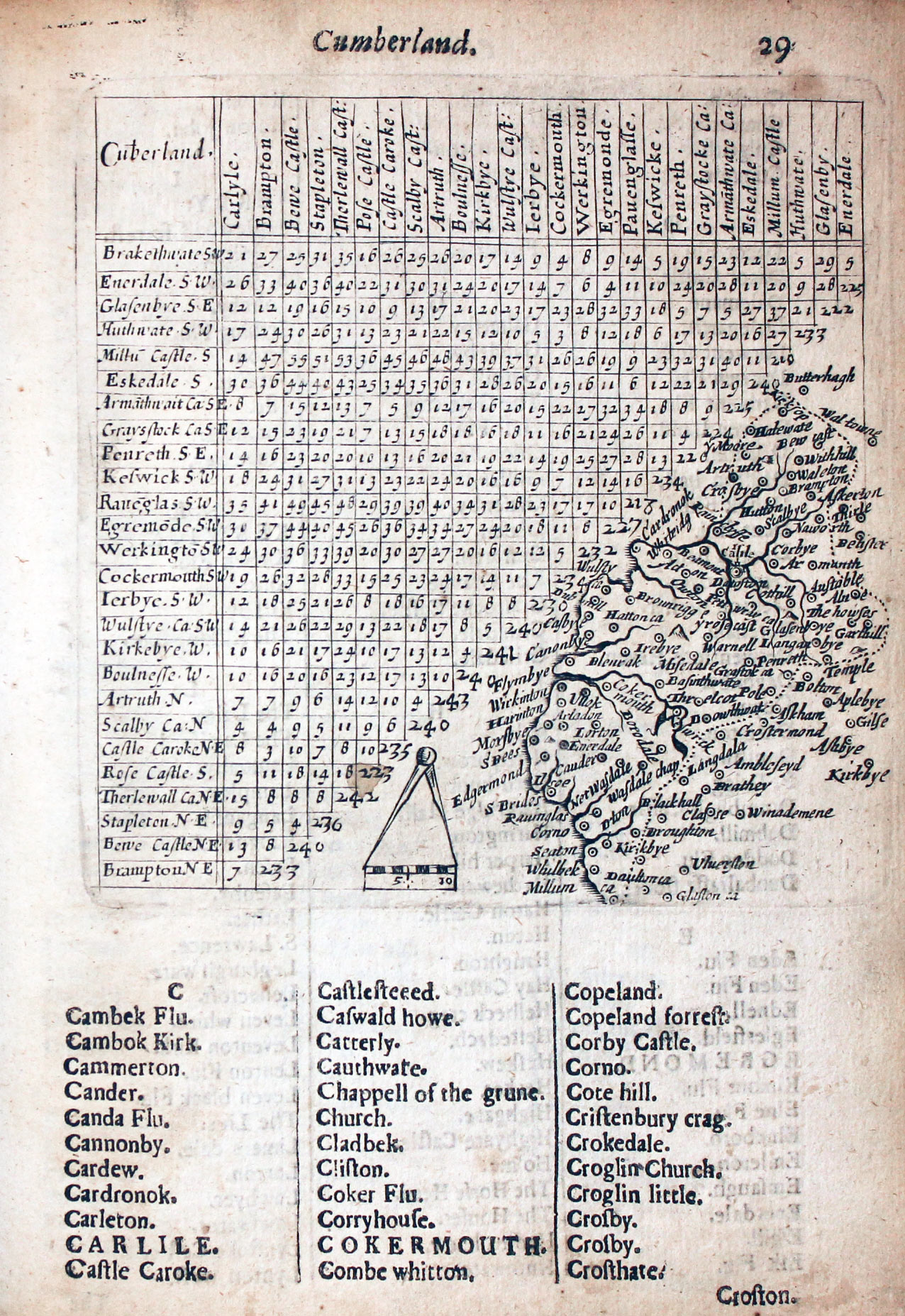
Map of Cumberland by Thomas Jenner, 1657
-

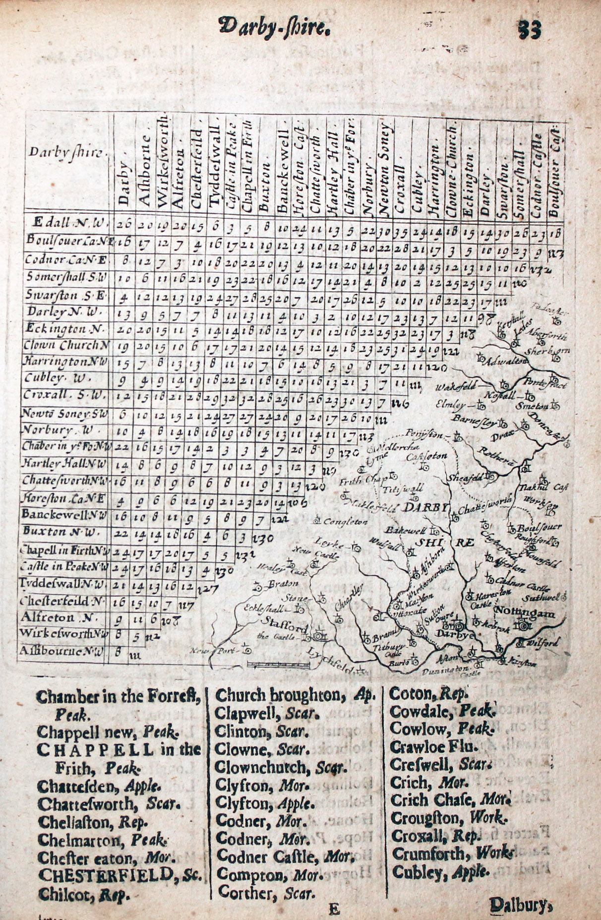
Map of Derbyshire by Thomas Jenner, 1657
-

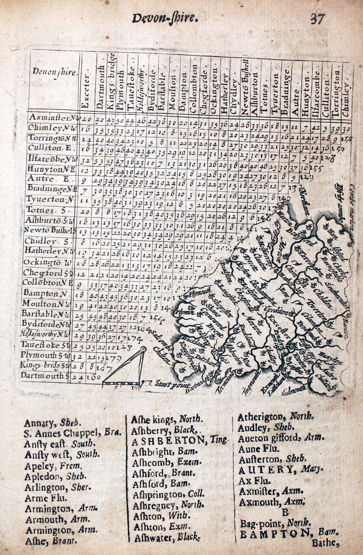
Map of Devonshire by Thomas Jenner, 1657
-

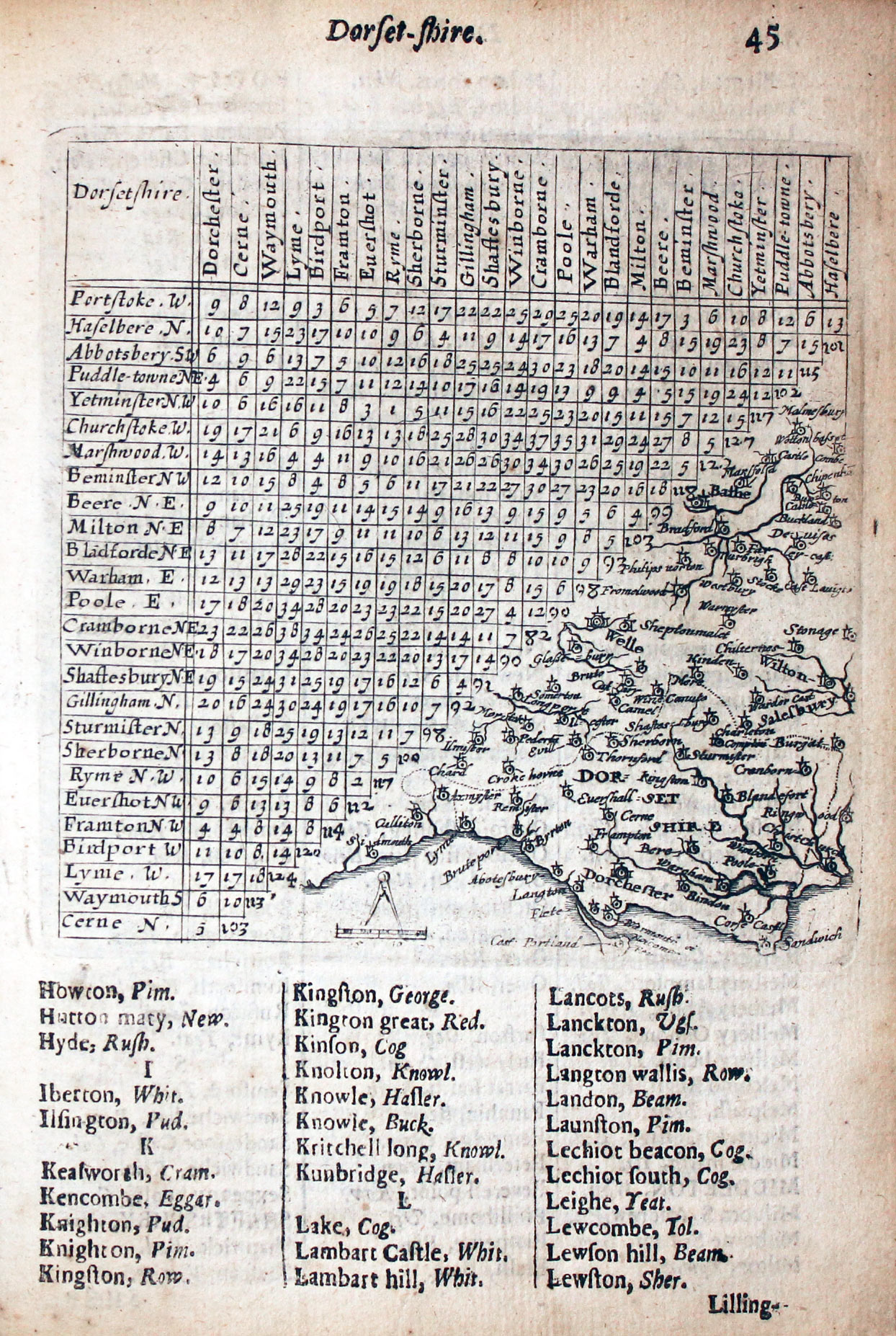
Map of Dorsetshire by Thomas Jenner, 1657
-

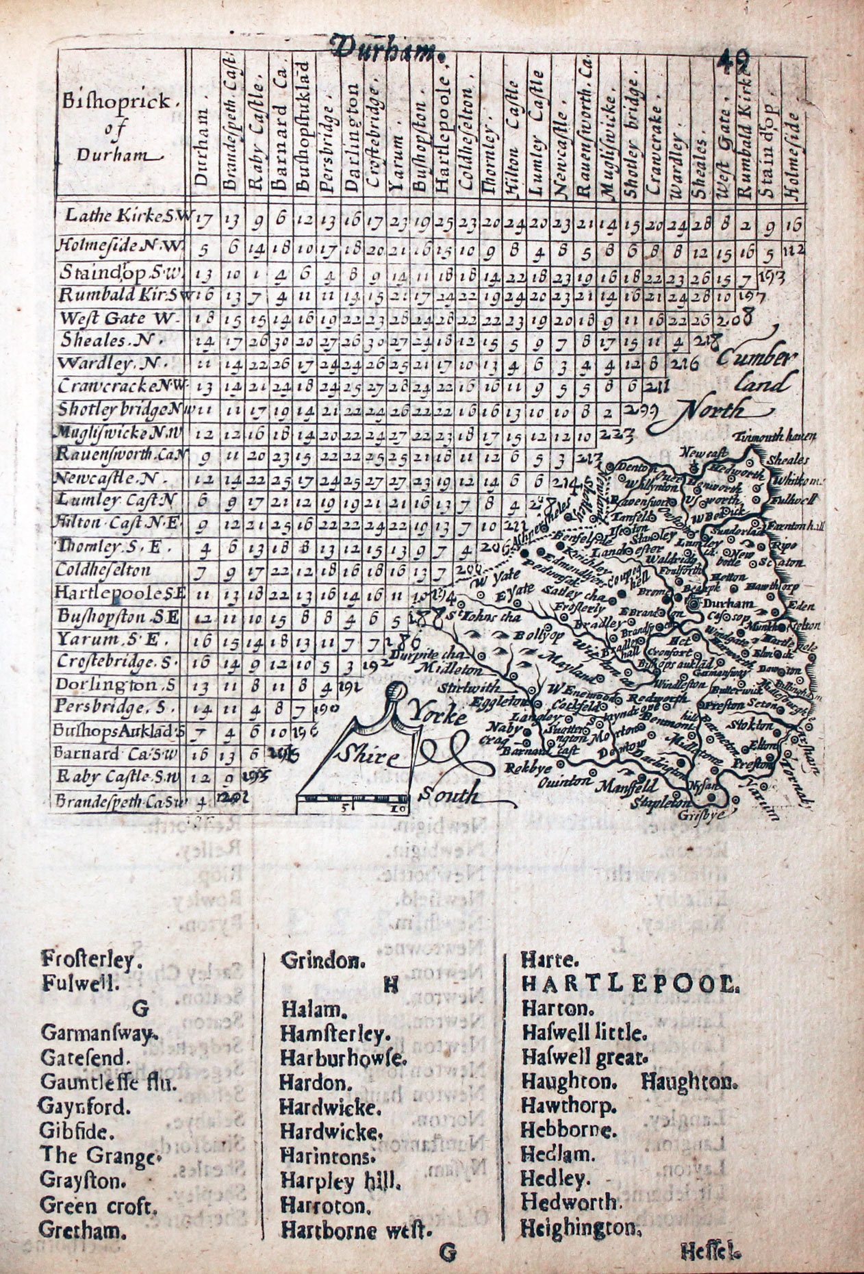
Map of County Durham by Thomas Jenner, 1657
-
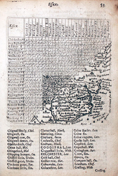
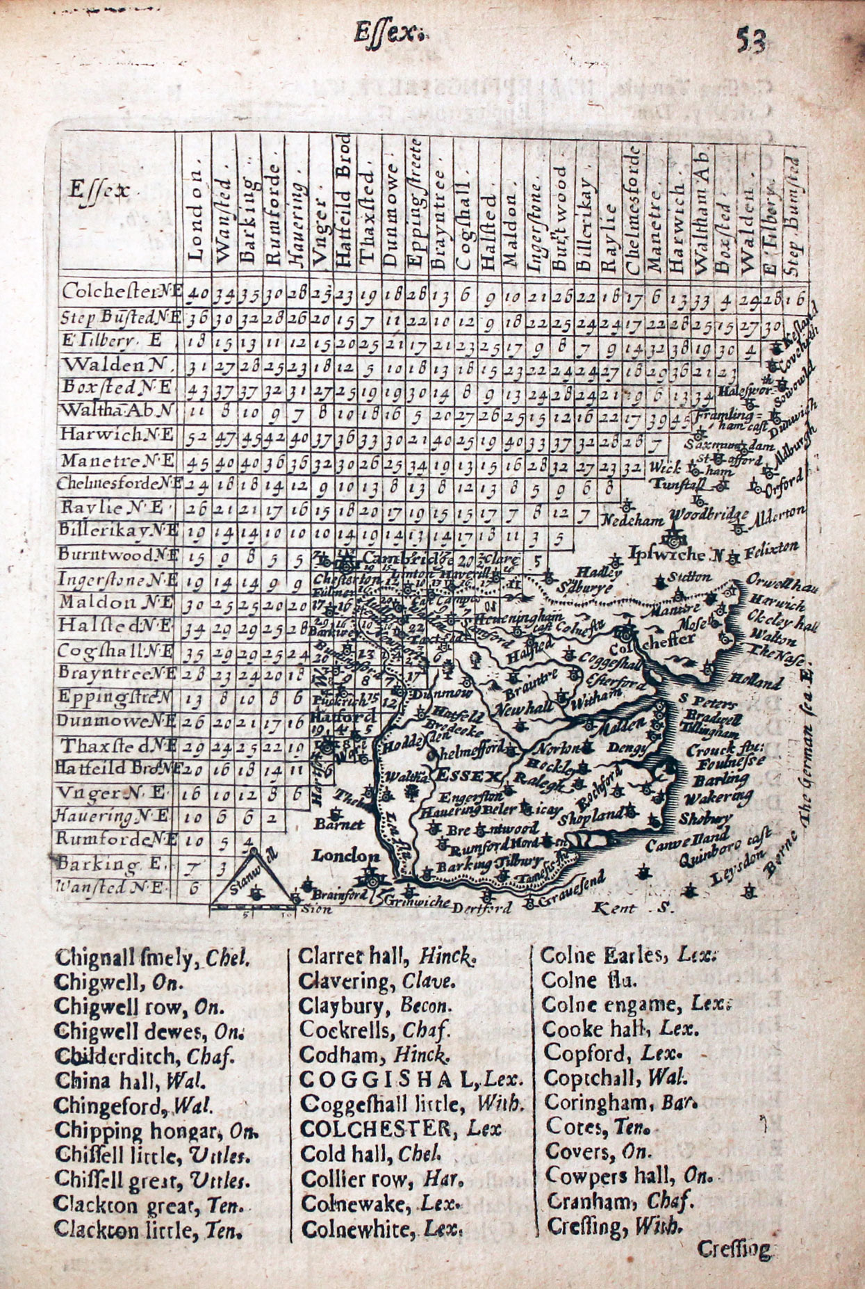
Map of Essex by Thomas Jenner, 1657
-

Map of Gloucestershire by Thomas Jenner, 1657
-

Map of Hampshire by Thomas Jenner, 1657
-

Map of Hertfordshire by Thomas Jenner, 1657
-
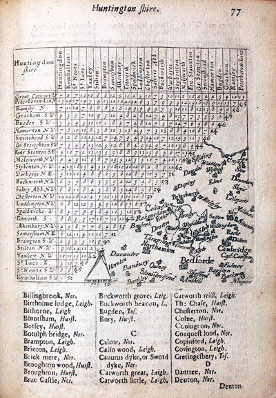
Map of Huntingdonshire by Thomas Jenner, 1657
-

Map of Kent by Thomas Jenner, 1657
-

Map of Lancashire by Thomas Jenner, 1657
-

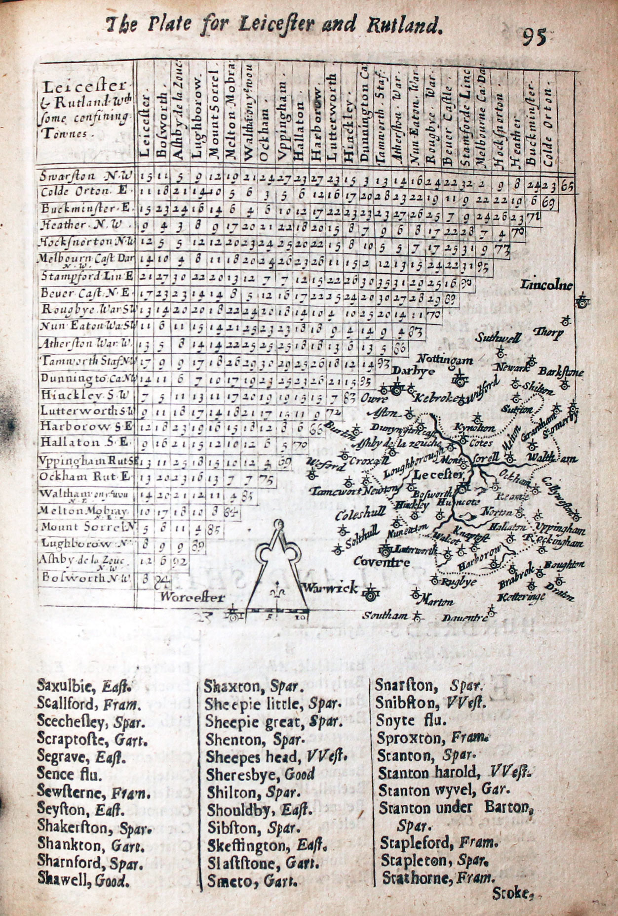
Map of Leicestershire and Rutlandshire by Thomas Jenner, 1657
-

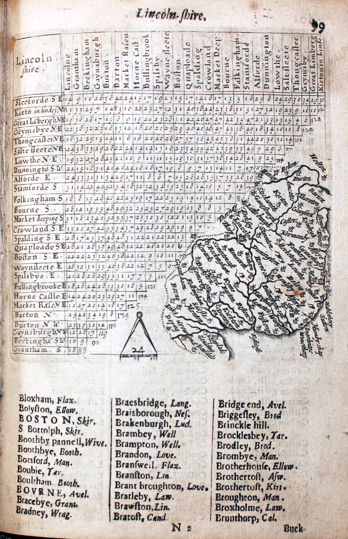
Map of Lincolnshire by Thomas Jenner, 1657
-

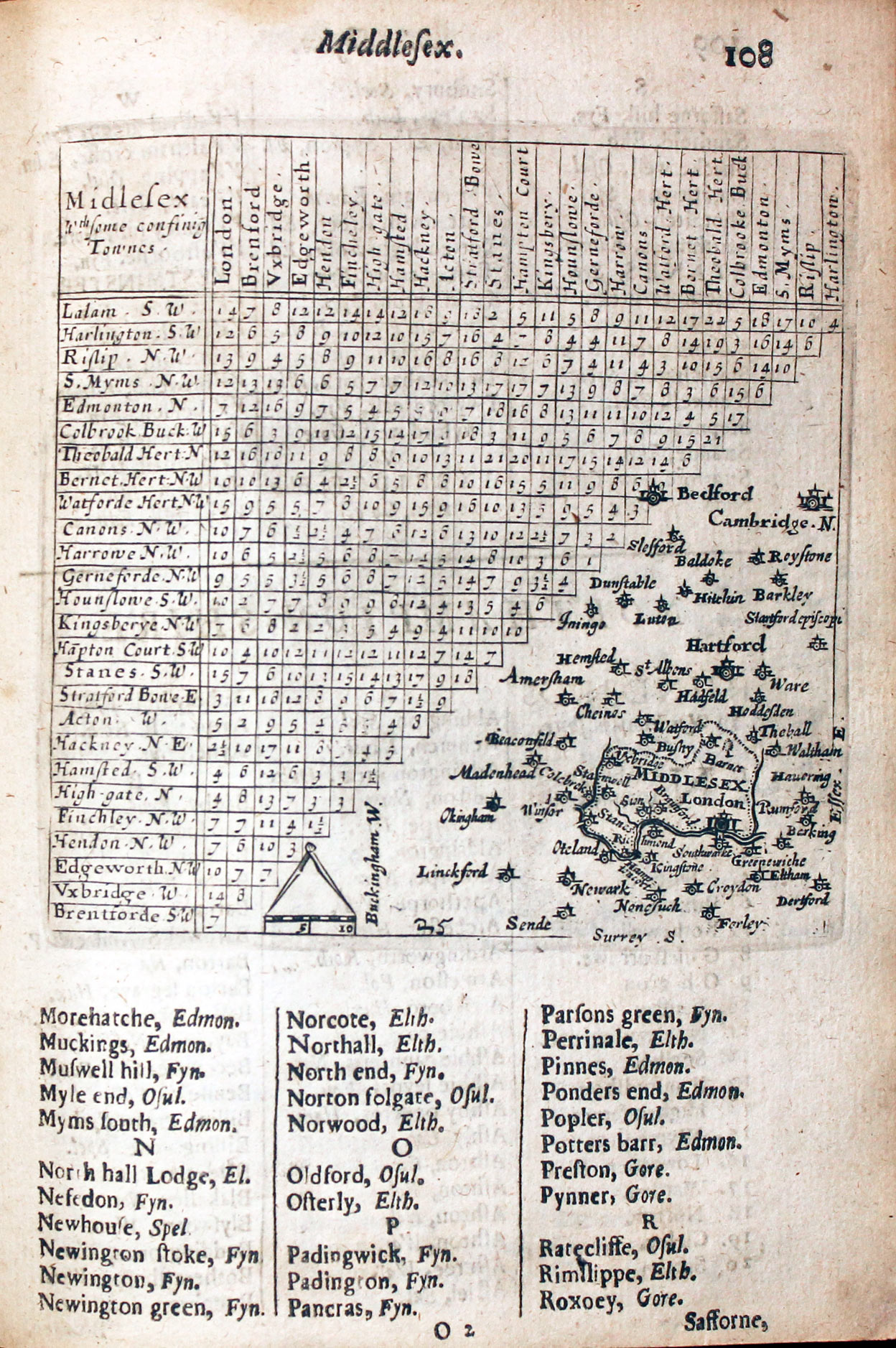
Map of Middlesex by Thomas Jenner, 1657
-

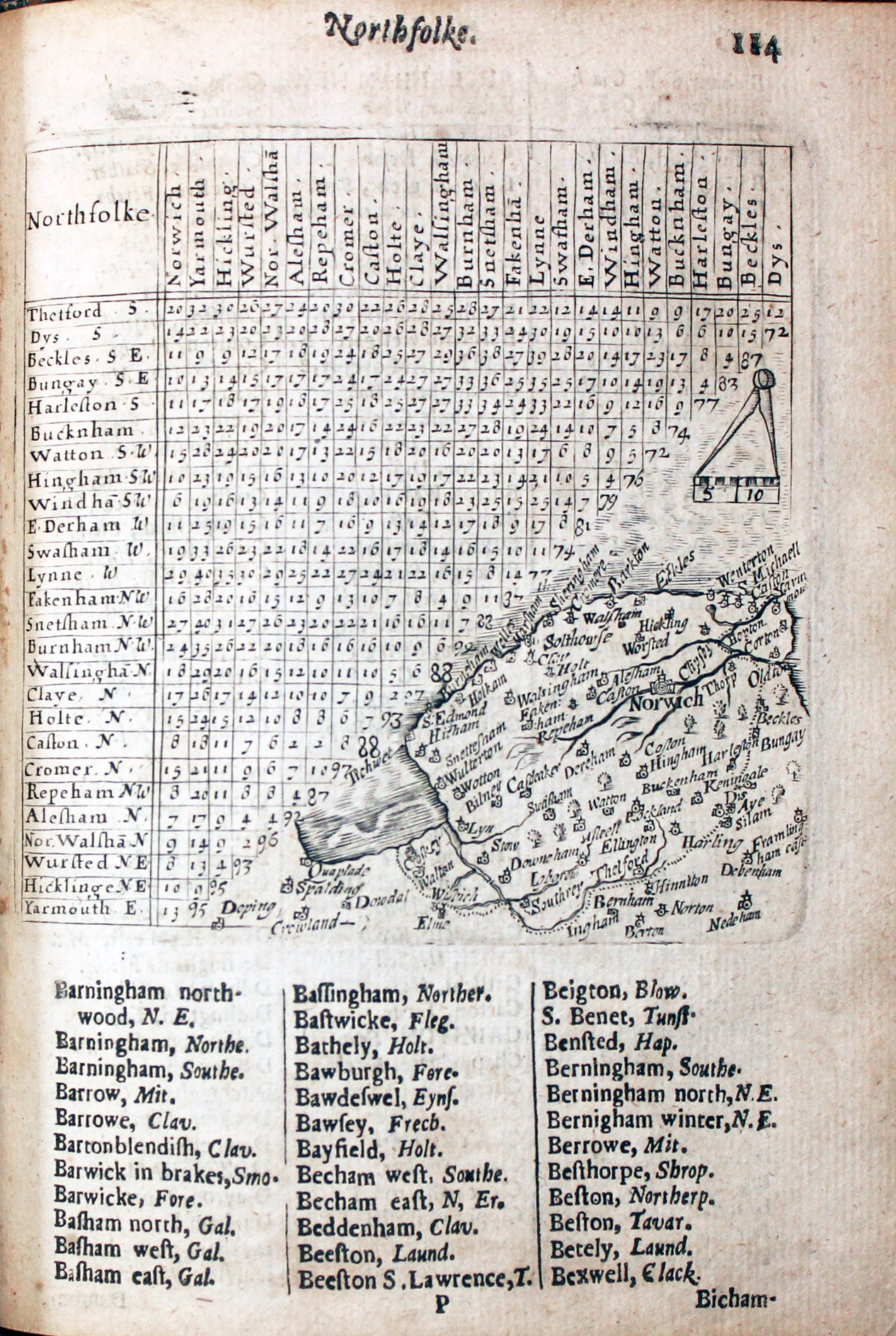
Map of Norfolk by Thomas Jenner 1657
-

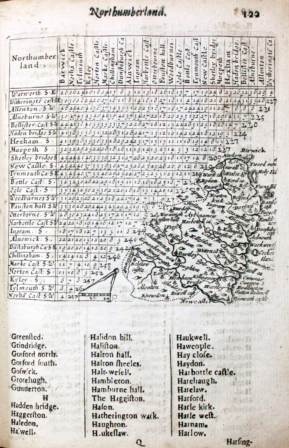
Map of Northumberland by Thomas Jenner 1657
-

Map of Nottinghamshire by Thomas Jenner 1657
-

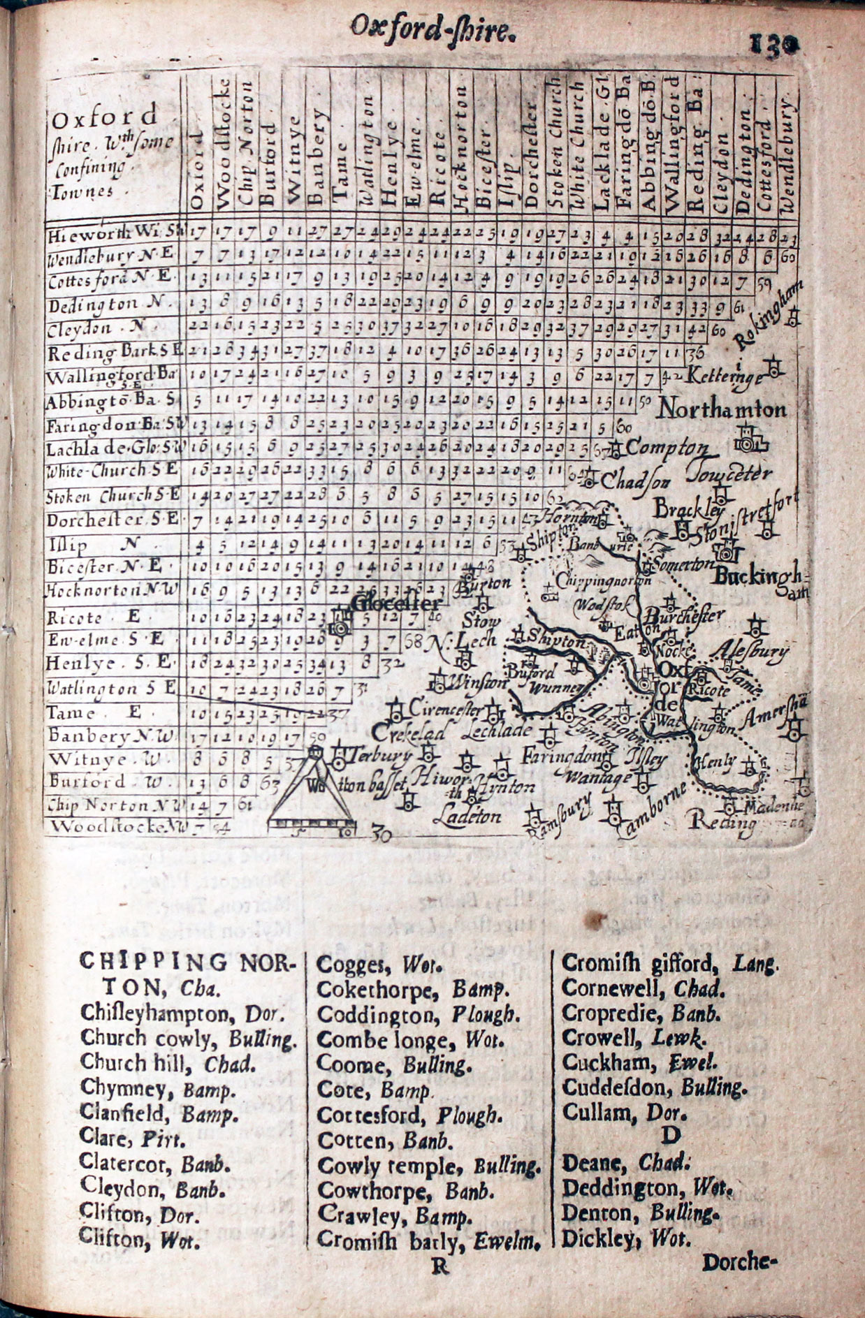
Map of Oxfordshire by Thomas Jenner 1657
-

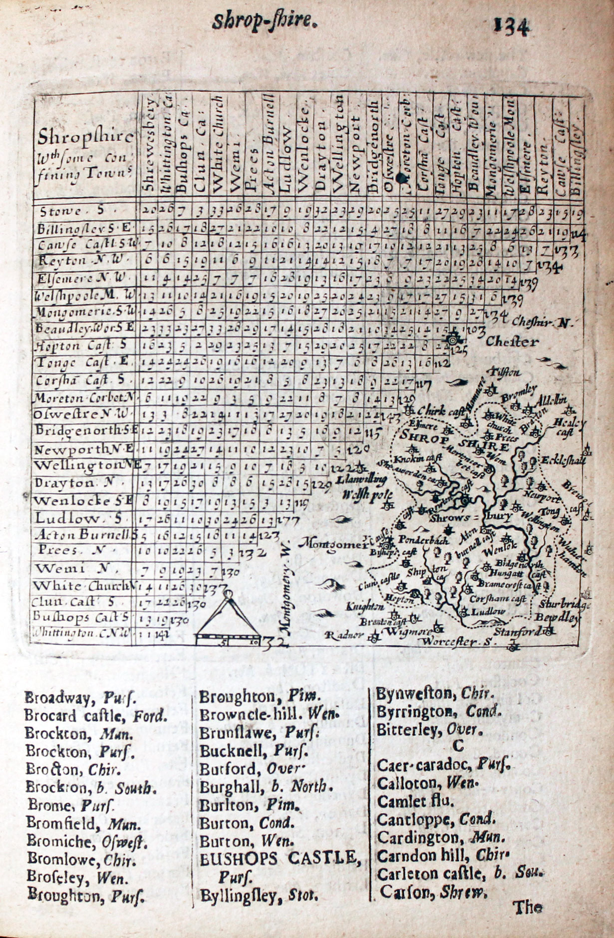
Map of Shropshire by Thomas Jenner 1657
-

Map of Somersetshire by Thomas Jenner 1657
-

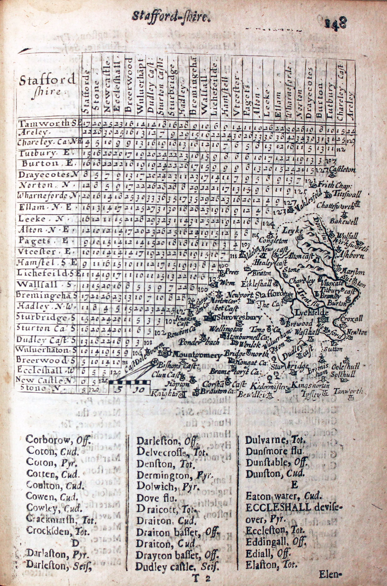
Map of Staffordshire by Thomas Jenner 1657
-

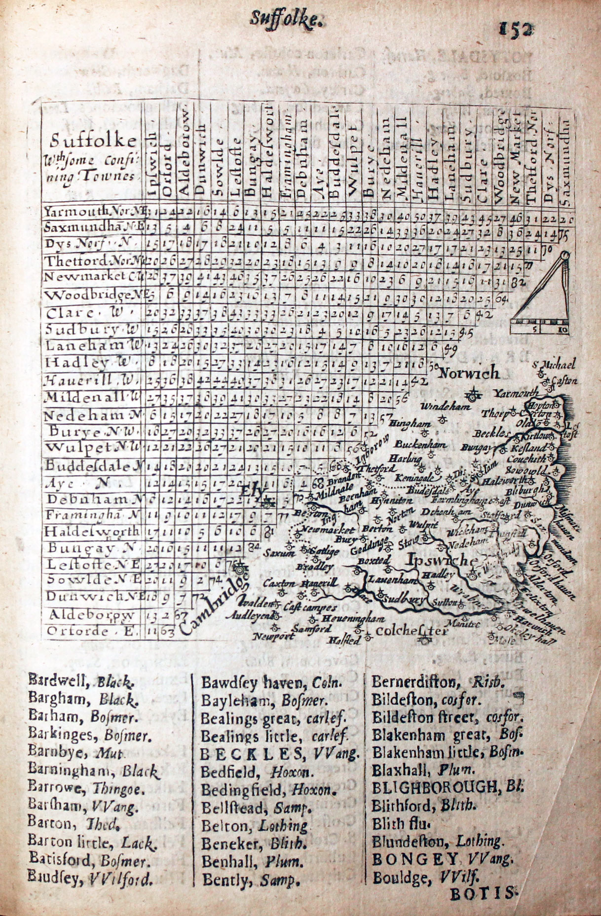
Map of Suffolk by Thomas Jenner 1657
-

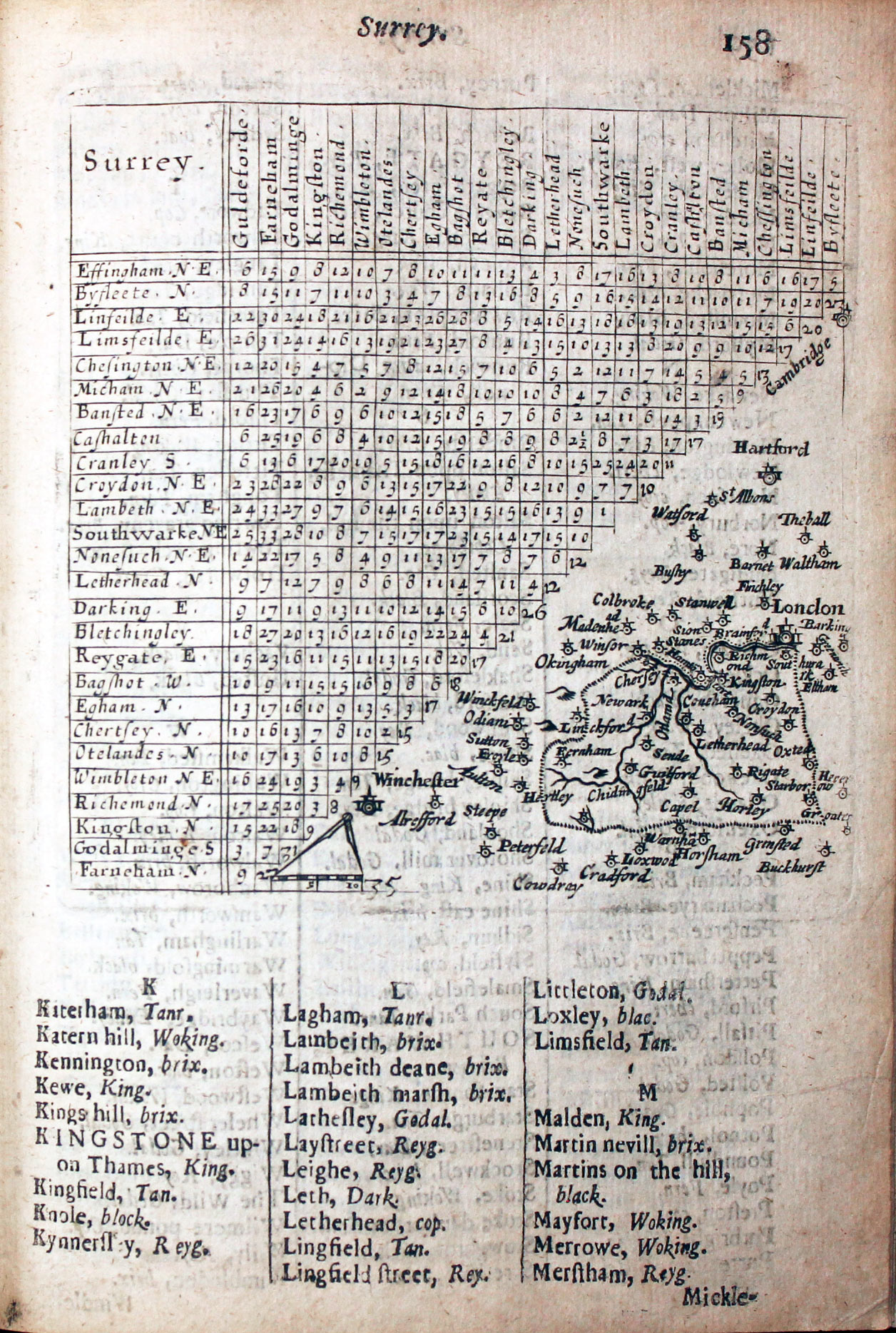
Map of Surrey by Thomas Jenner 1657
-

Map of Sussex by Thomas Jenner 1657
-

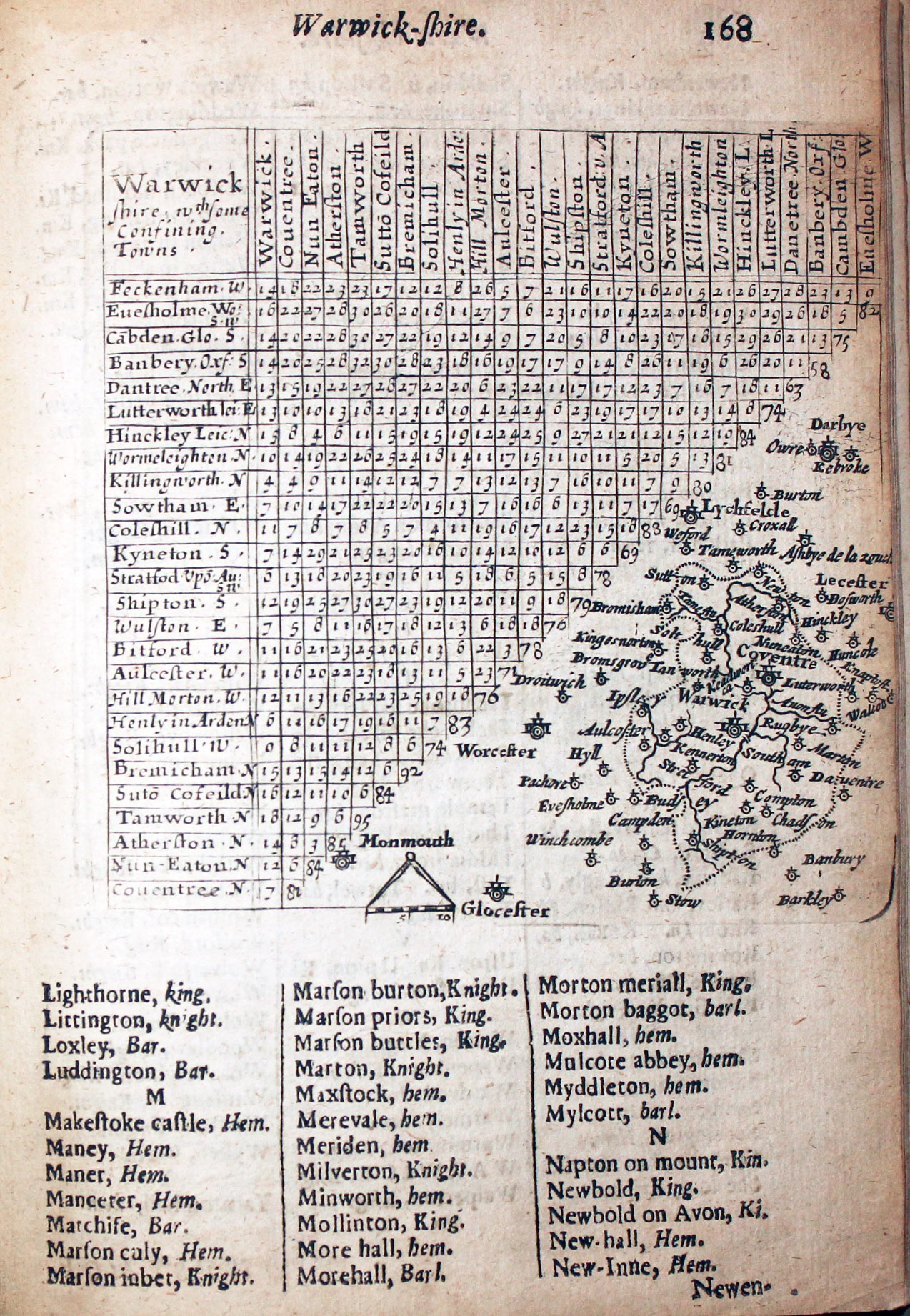
Map of Warwickshire by Thomas Jenner 1657
-
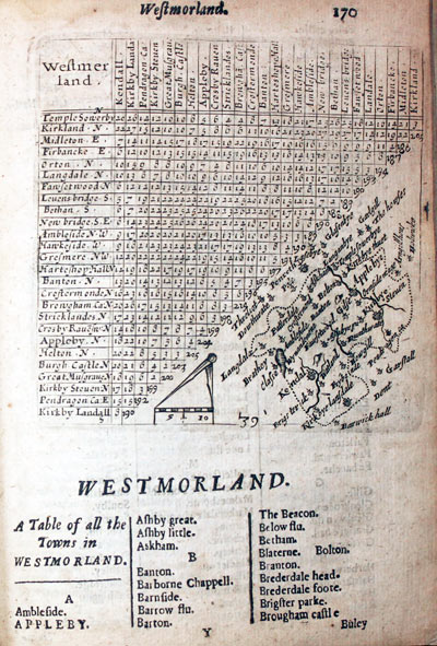
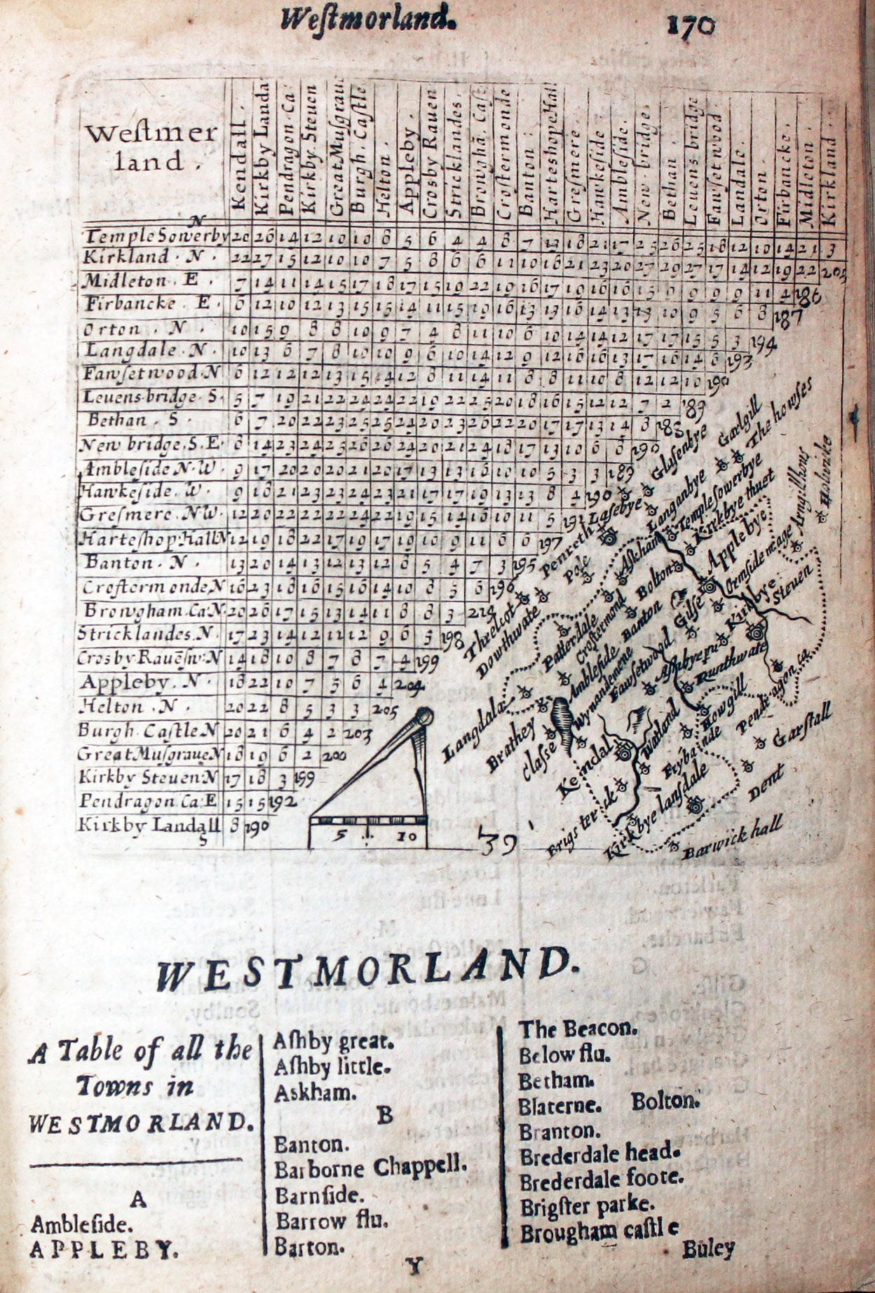
Map of Westmorland by Thomas Jenner 1657
-

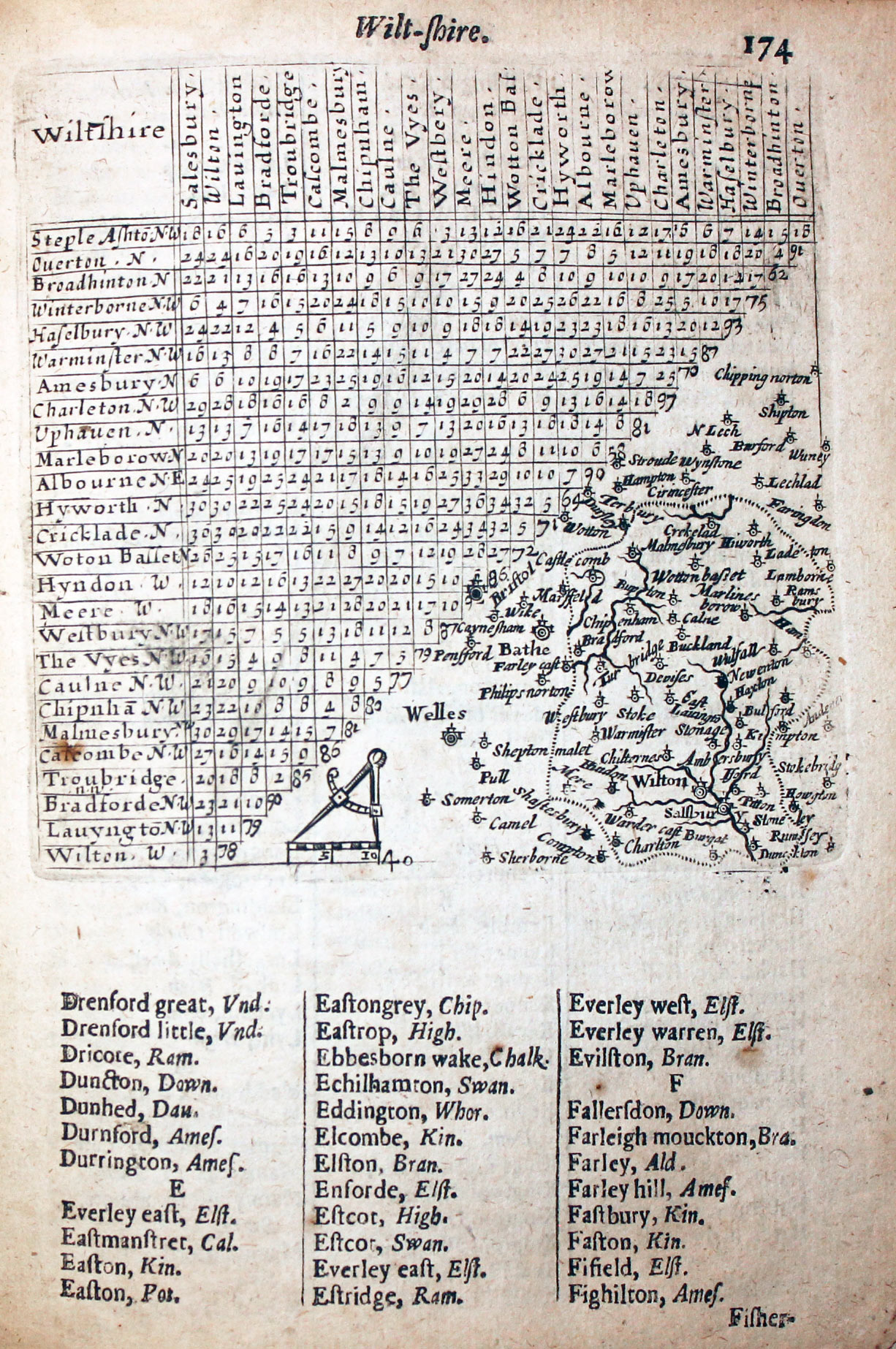
Map of Wiltshire by Thomas Jenner 1657
-

Map of Worcestershire by Thomas Jenner 1657
-

Map of Yorkshire by Thomas Jenner 1657
References:
- Tooley's Dictionary of Mapmakers Revised Edition E - J
- Antique Maps of Cornwall and the Isles of Scilly by R. C. E. Quixley, Expanded by J. M. E. Quixley
- The Printed Maps in the Atlases of Great Britain and Ireland. A Bibliography, 1579 - 1870 by Thomas Chubb
- Miniature Antique Maps by Geoffrey King, 1996
Just my personal opinion
These maps are really quite special. Known as thumbnail maps it is exciting to imagine how they were used by the 17th century traveller. A handy size atlas to slip into your pocket and have the distances between towns neatly laid out. Certainly a must for the county map collector.


