RICHARD NICHOLSON of CHESTER
A WORLD OF ANTIQUE MAPS AND PRINTS
The Cartographer
JOHN AIKEN
Flourished 1747 - 1822
The name of John Aiken might easily pass you by as a map collector but I would encourage to seek out his map of the county might be collecting.
He was born at Kibworth in Leicestershire on 15th January, 1747. Educated at a boarding school run by his father, a dissenting mininster. Later he was apprenticed to Maxwell Garthshore at Uppingham. Settled in London, studied medicine in Edinburgh, moving to Chester as a surgeon in 1771 and then to Warrington. After becoming a doctor of medicine at Leiden, Holland 1794 he settled in Great Yarmouth in Norfolk as a Physician.
If this infomation has wetted your appetite for more I can only recommend visiting the Royal College of Physicians website where William Munk has written a most interesting article which I have drawn upon.
It was in 1788 whilst he was residing in Great Yarmouth that John Aiken's "England Delineated" was published in 1788. It contained no maps. Two years later in 1790 a second edition was published illustrated with county maps.
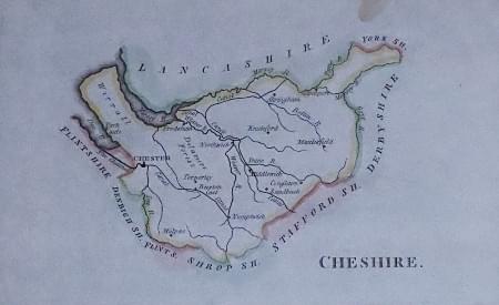
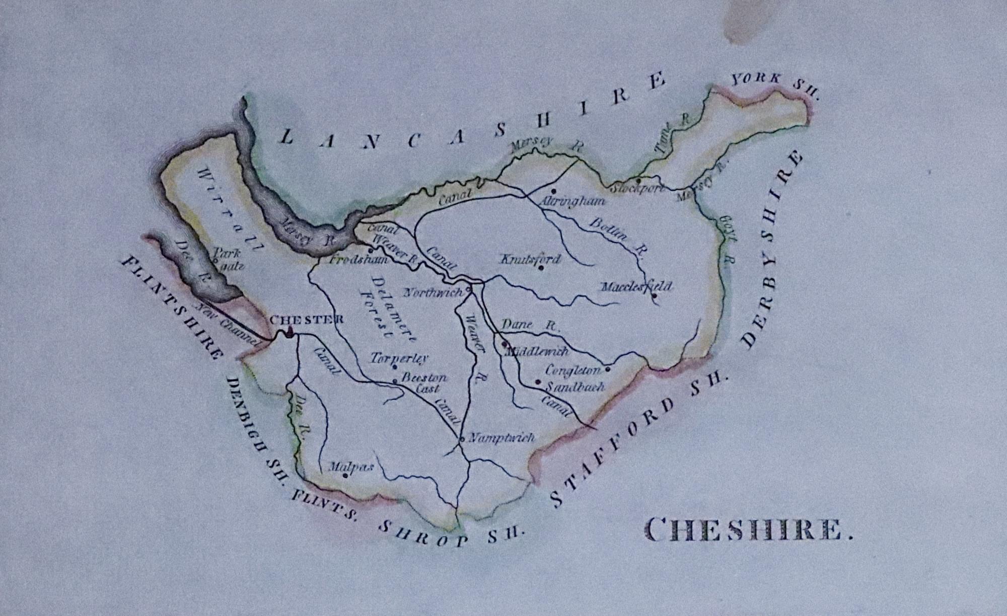
The map pages measure some 41/4 x 7 1/4 inches. The maps are very simple in form with the title appearing above the county. There are just a few place names shown plus named rivers. There is no scale, border or compass rose.
Maps Gallery
-

Map of Cheshire by John Aiken c.1800
References:
Antique Maps of Cornwall and the Scilly Isles by R. C. E. Quixley, Expanded by J. M. E. Quixley 2018
British County Maps by Yasha Beresiner
Royal College of Physicians website

