RICHARD NICHOLSON of CHESTER
A WORLD OF ANTIQUE MAPS AND PRINTS
The Cartographer
JOSEPH ELLIS
Engraver and publisher from Clerkenwell in London
Joseph Ellis was an engraver and publisher from Clerkenwell in London and was apprenticed to Richard William Seale in 1749. He is best know to county map collectors for The New English Atlas published in 1765 which was later reissued as Ellis's English Atlas in 1766, 1768 1777, 1786, 1790 and 1796. According to the title page the price of the atlas in 1766 was 10s. 6d bound in Red leather for the Pocket. There is a recorded copy of a reissue possibly in 1766 where the price has been increased to 15 shillings, again in a Red Leather for the Pocket,
The maps are similar in style to a series by Thomas Kitchin but easily distinguishably as the name of Ellis appears on many but not all of the maps. The name of William Palmer appears on Buckinghamshire, Herefordshire, Kent and Warwickshire. Cornwall bears the name of De La Rochette. Worcestershire bears the name of William Fowler
Atlas Title Pages & Pages
-

Title page to Ellis' Engish Atlas dated 1766 published by Carington Bowles and Robert Sayer
-
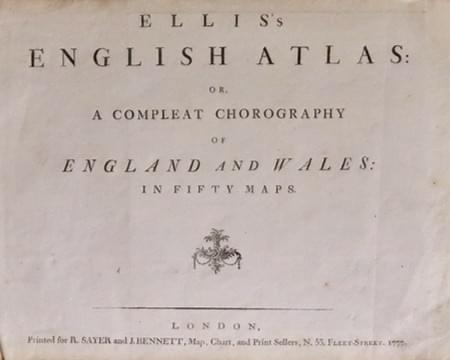
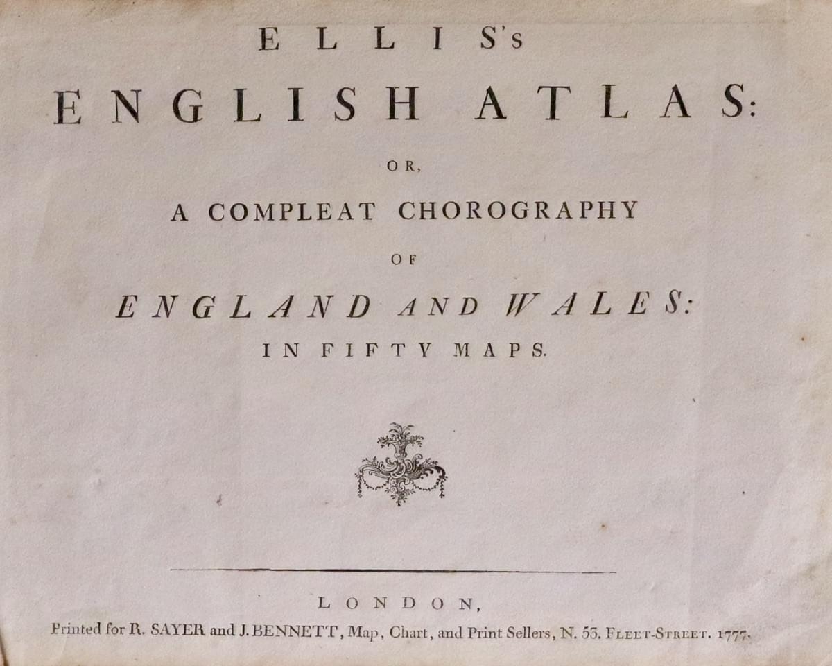
Joseph Ellis Title Page dated 1777
-
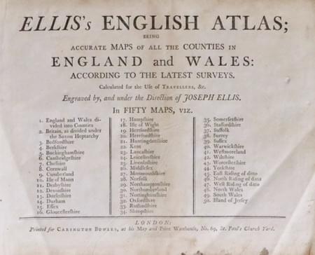
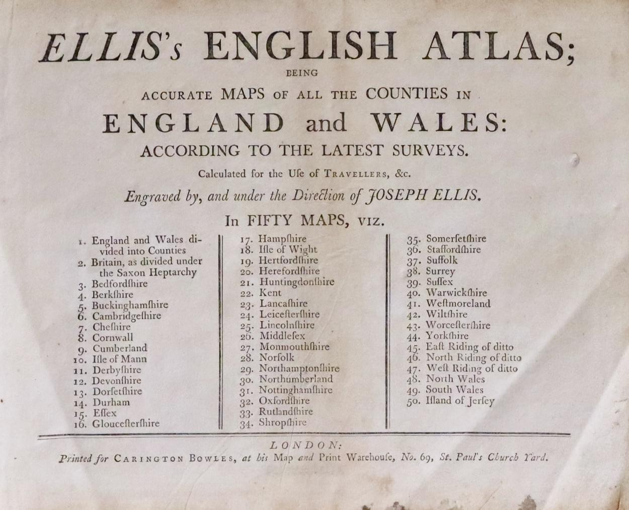
Joseph Ellis list of maps in the atlas
Map Gallery
-
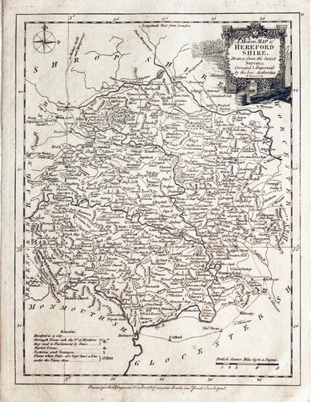
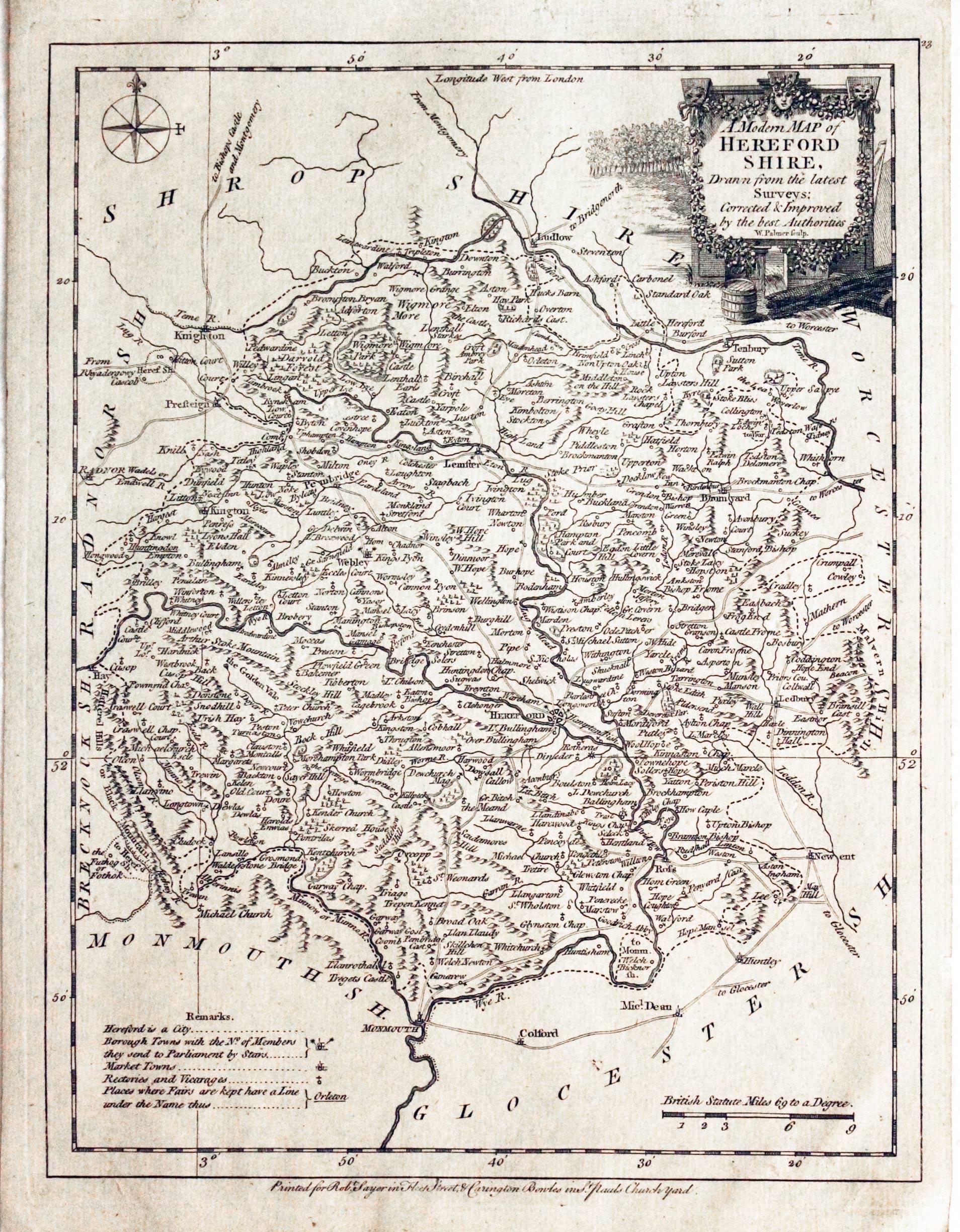
Map of Herefordshire by Joseph Ellis c.1765
-
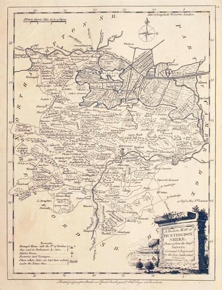
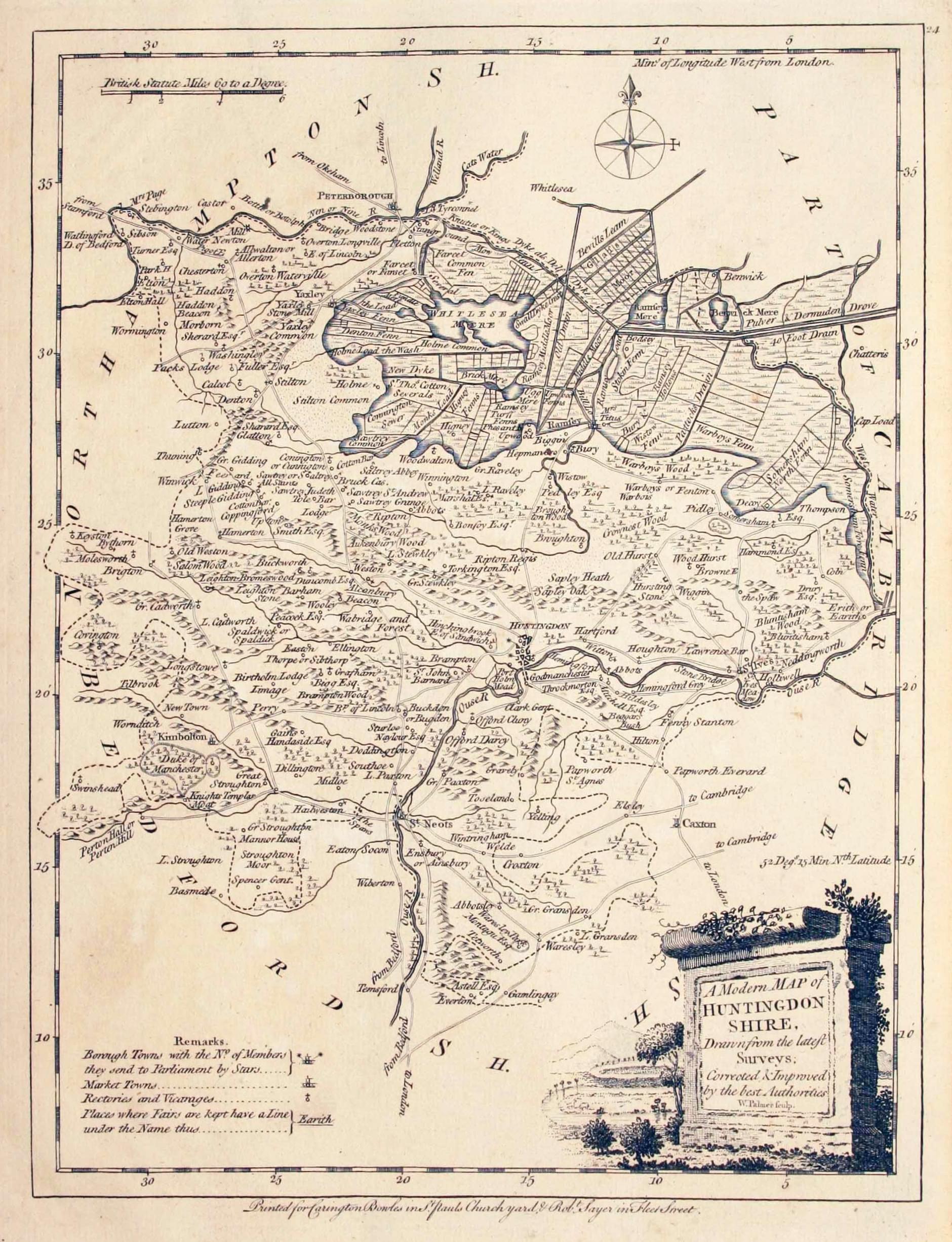
Map of Huntingdonshire by Joseph Ellis c.1765
-
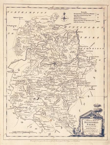
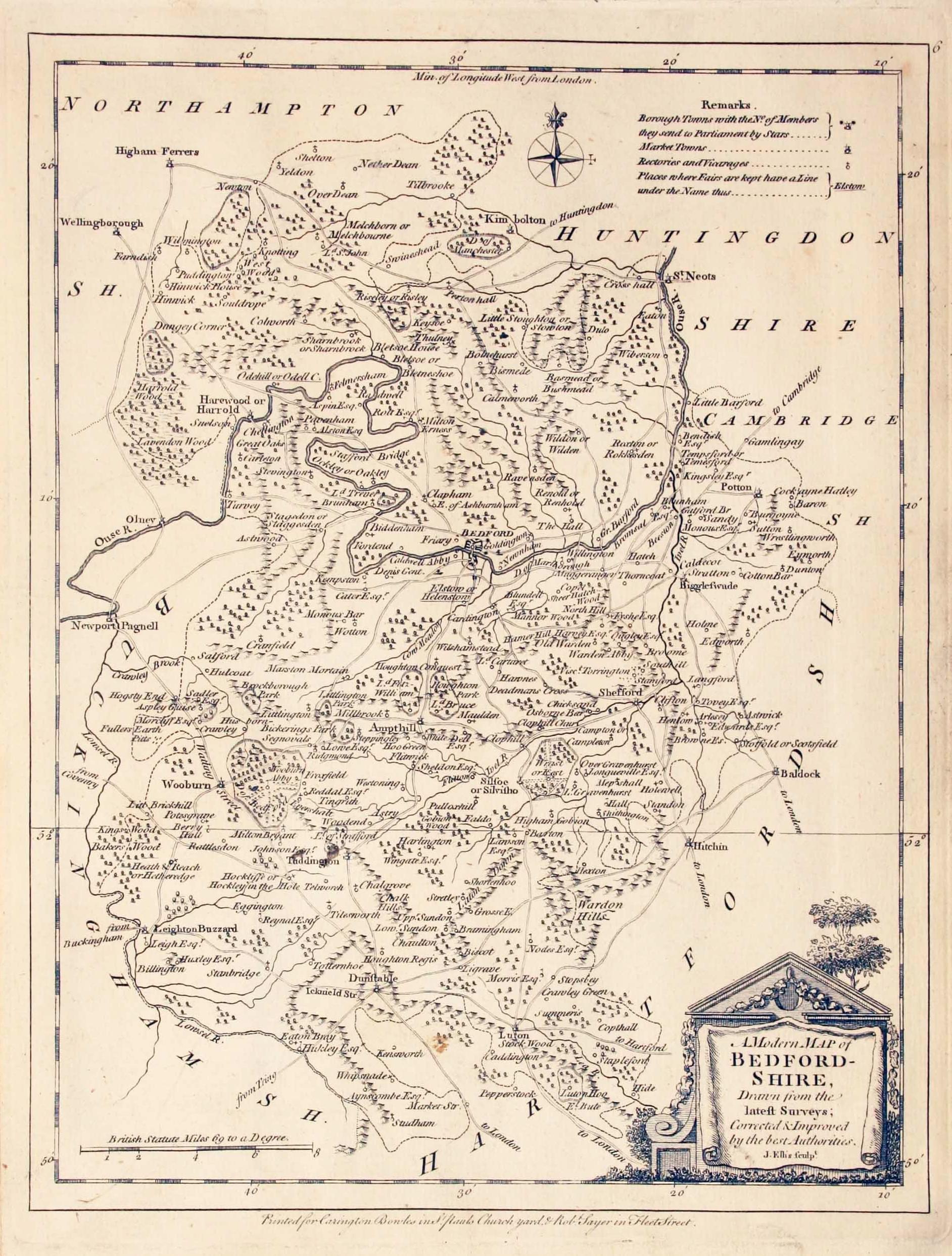
Map of Bedfordshire by Joseph Ellis 1777
List of Maps
Ellis's English Atlas: or, A Compleat Chorography of England and Wales : in Fifty Maps Containing more Particulars than any other Collection of the Same Kind. The whole Calculated for the Use of Travellers, Acaddemies, and of all those who desire to Improve in the Knowledge of their Country. From the latest Surveys of the Several Counties ; Engraved by, and under the Direction of, J. Ellis. London: Printed for Carington Bowles, next the Chapter-House, in St. Paul's Church Yard ; and Robert Sayer, at the Golden Buck, near Serjeants Inn, in Fleet Street. Price 10s. 6d. in Red Leather for the Pocket. MDCCLXVI
- An Accurate Modern Map of England and Wales
- Britain as iy was divided un the Saxon Heptarchy
- Bedfordshire
- Berk-shire
- Buckingham Shire
- Cambridge-Shire
- Cheshire
- Cornwall
- Cumberland
- Isle of Man
- Derbyshire
- Derby-Shire
- Devon Shire
- Dorset Shire
- Durham
- Essex
- Glocester Shire
- Hamp Shire
- Isle of Wight
- Hartford-Shire
- Hereford Shire
- Huntingdon Shire
- Kent
- Lancashire
- Leicester-Shire
- Lincoln-Shire
- Middlesex
- Monmouth-Shire
- Norfolk
- Northampton Shire
- Norhumberland
- Nottingham-Shire
- Oxfordshire
- Rutlandshire
- Shropshire
- Somerset Shire
- Staffordsh Shire
- Suffolk
- Surrey
- Sussex
- Warwick Shire
- Westmoreland
- Wilt Shire
- Worcester Shire
- Yorkshire
- The East Riding of Yorkshire
- North Riding of Yorkshire
- West Riding of Yorkshire
- North Wales
- South Wales

