RICHARD NICHOLSON of CHESTER
A WORLD OF ANTIQUE MAPS AND PRINTS
THE CARTOGRAPHER
JOSHUA ARCHER
1792 - 1863
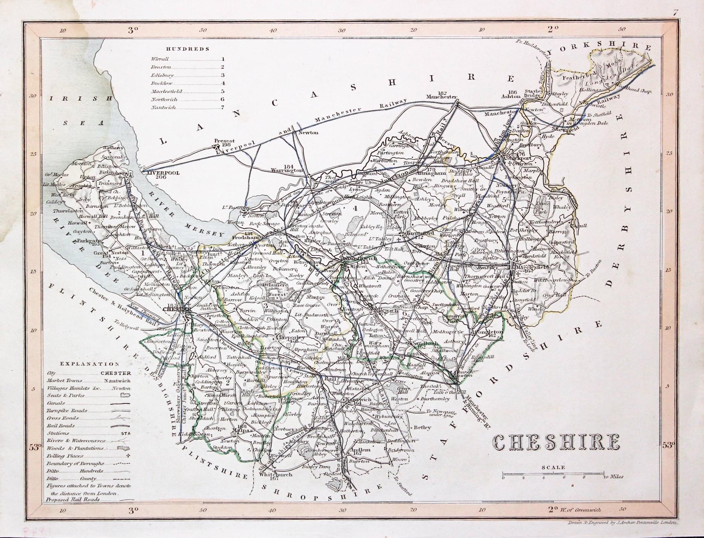
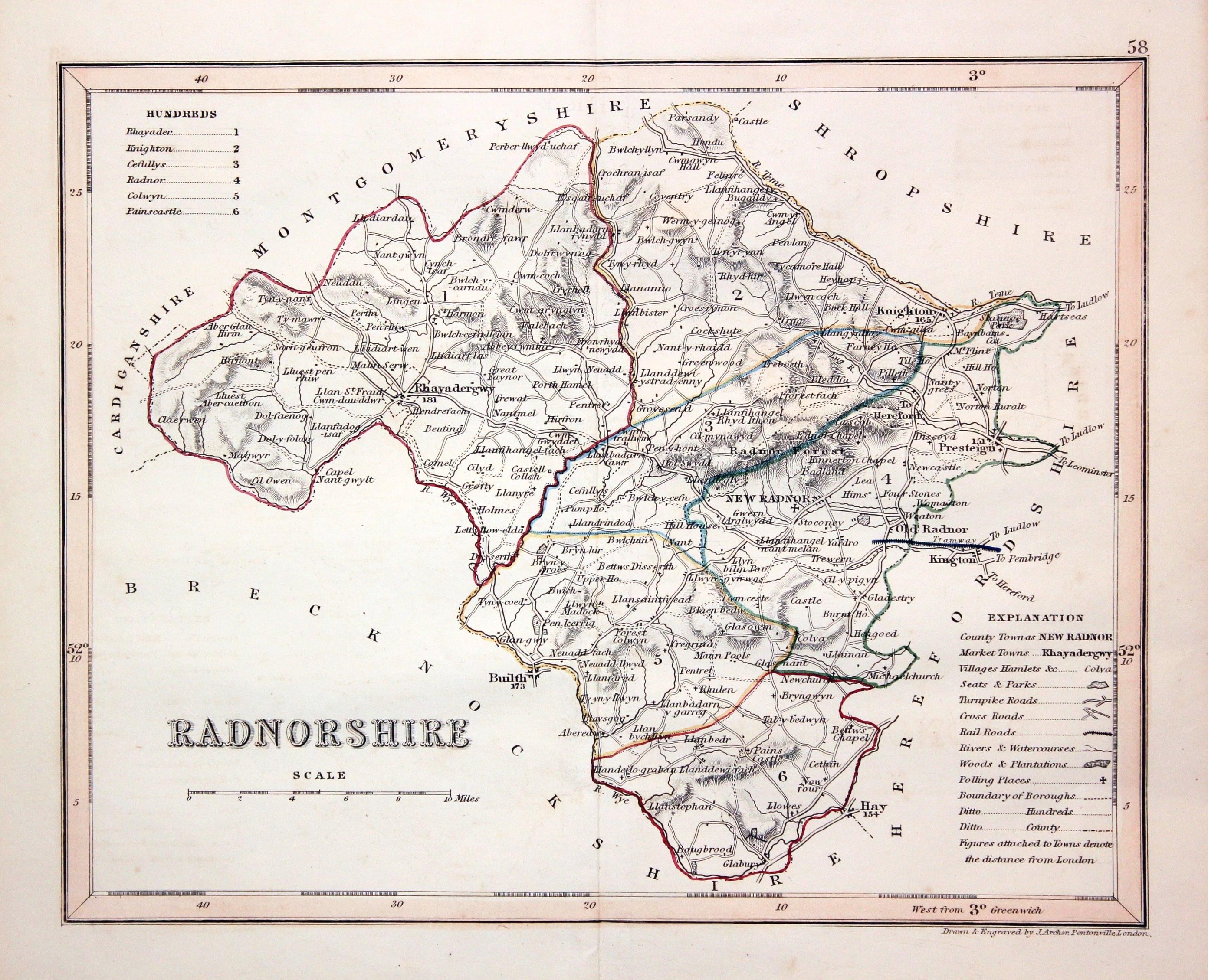
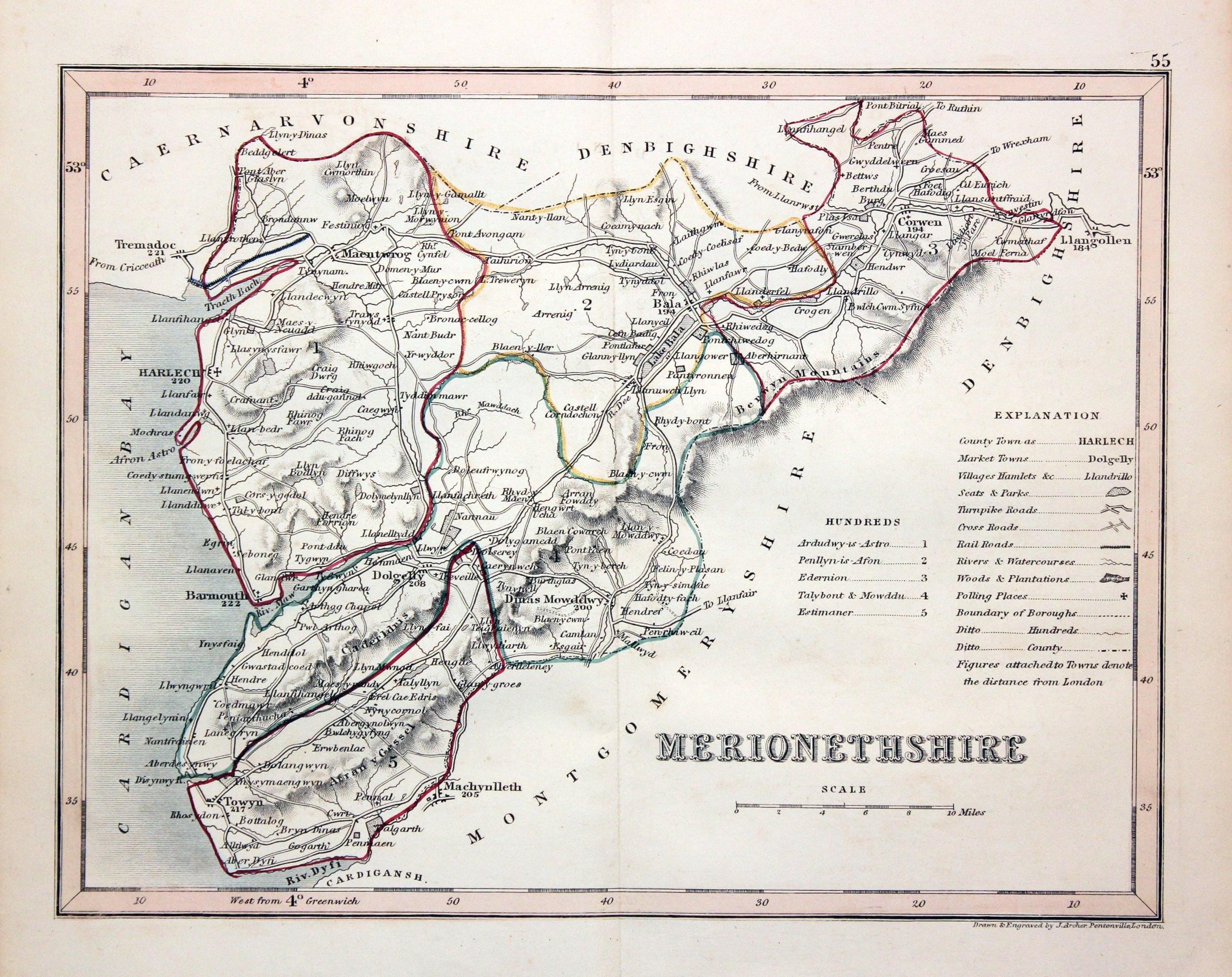
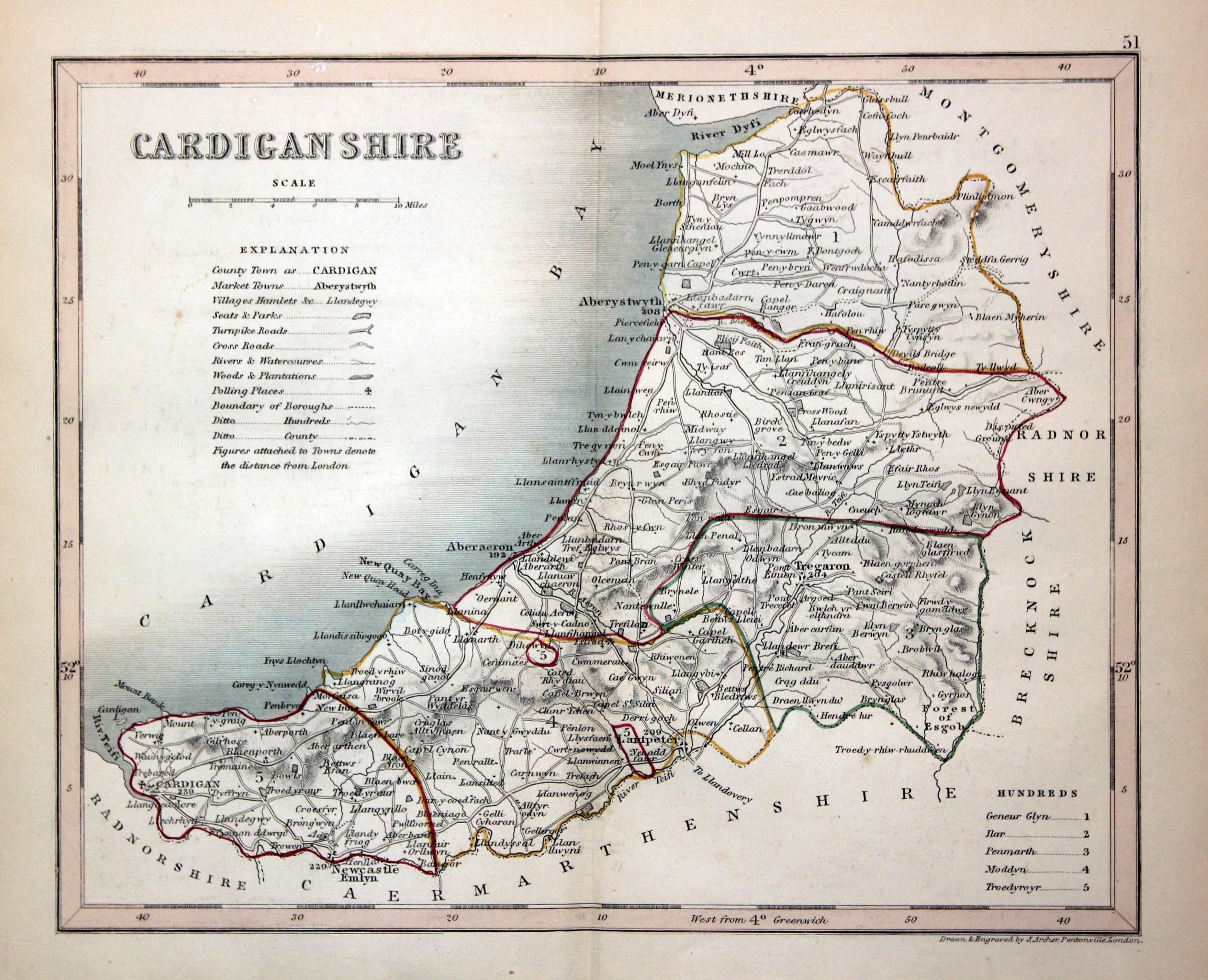
Joshua Archer was born in Barnstaple, Devon. He was married to Jane Jones and had two boys, Alfred and John. A draughtsman and engraver working in Pentonville, London. Best known to collectors of county maps for his series of maps in Thomas Dugdale's Curiosities of Great Britain, England and Wales. A slightly earlier volume by Thomas Dugdale titlted Curiosities of Great Britain published in 1835 was illustrated with a series of county maps by John Cole and John Roper which had first appeared in The British Atlas in 1810. The later editions do not have the attractive outline or outline and wash hand colouring found on the 1810 edition.
You will come across uncoloured specimens of Joshua Archer's county maps as well as specimens with early outline hand colouring, early wash hand colouring and of course much later hand colouring.
Archer's maps are particularly interesting as they show proposed and new railway routes.
Curiousities of Great Britain, England and Wales Delineated
Published by Thomas Dugdale
Maps Engraved by Joshua Archer - 1842 onwards
GALLERY - ENGLAND
-

Map of Cheshire by Joshua Archer, c.1845
GALLERY - WALES
-

Map of Radnorshire by Joshua Archer c.1842
-

Map of Merionethshire by Joshua Archer c.1842
-

Map of Cardiganshire by Joshua Archer c.1842
-

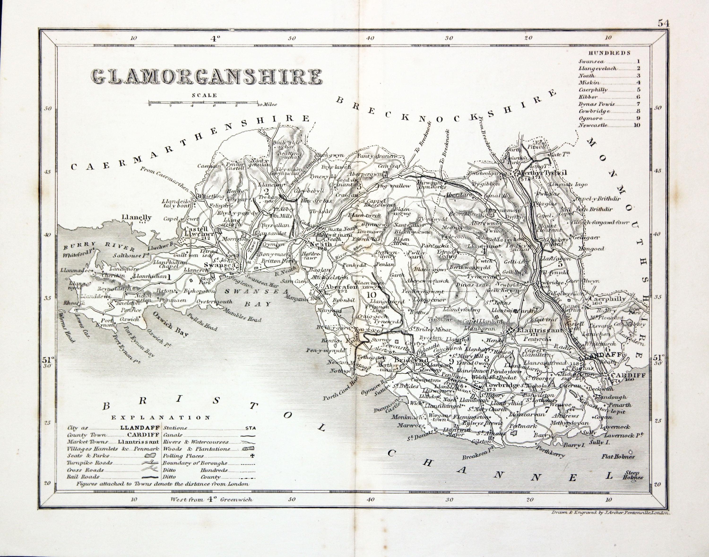
Map of Glamorganshire by Joshua Archer c.1842
-

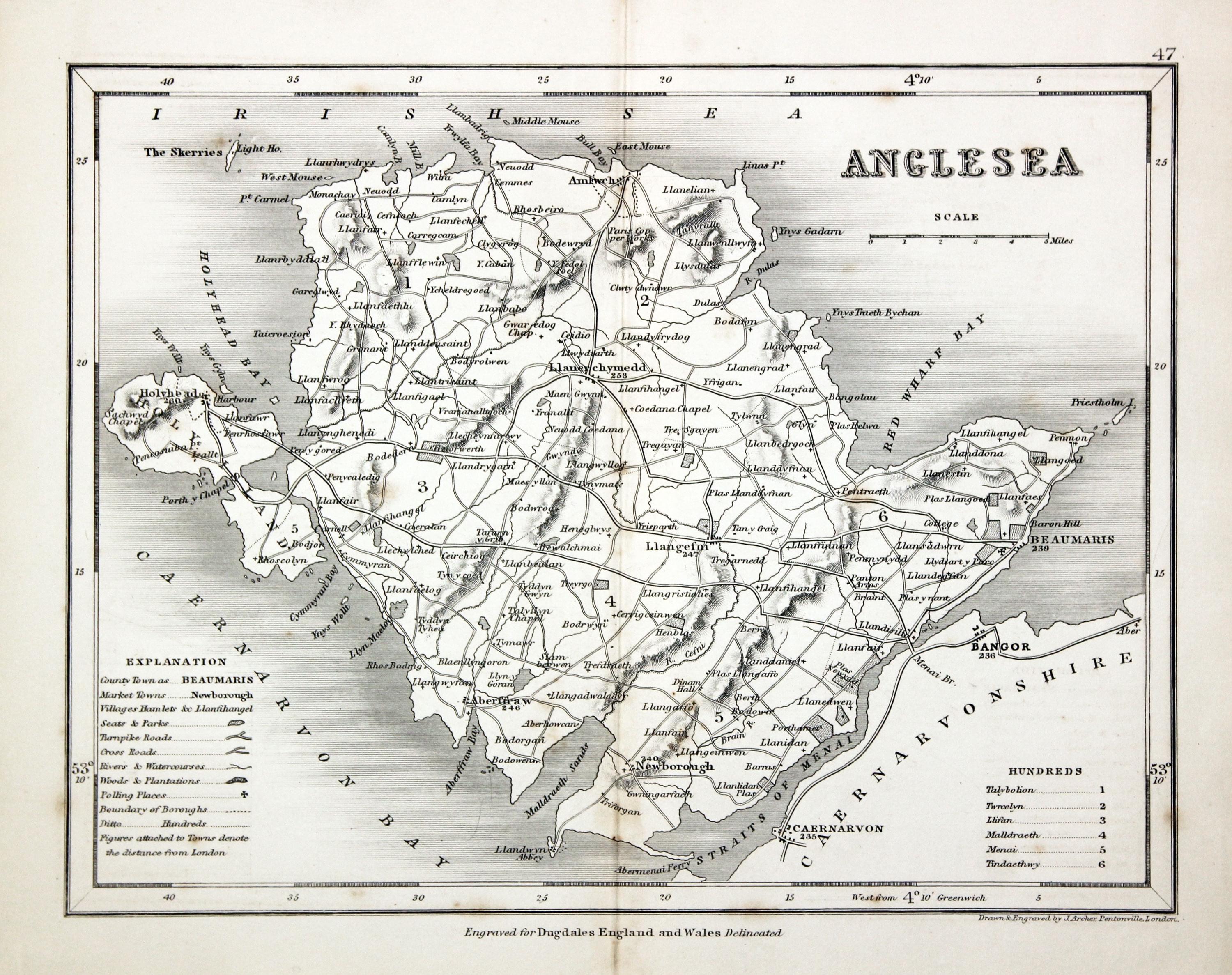
Map of Anglesey by Joshua Archer c.1842
Just my personal opinion
Whilst constructing this page it suddenly struck me that back in the 1960's I was brought up with the name of John Archer and not Joshua Archer. To check if my memory was right I rifled through a lof of map reference books on my bookshelf. Plenty of mentions referring to Joshua Archer until I came to "Looking at Maps by John Booth' published in 1979. On page 150 I found John Archer. Relief that some of my marbles are still in place. Thanks to those learned people who want to expand our knowledge of old maps
