Antique Maps of Denmark, Norway & Sweden
Richard Nicholson of Chester
A World of Antique Maps and Prints
Established in 1961
All the Maps on this page are guaranteed to be genuine early specimens
pubished in or around the year stated
DENMARK
19th Century - Early Hand Colouring
-

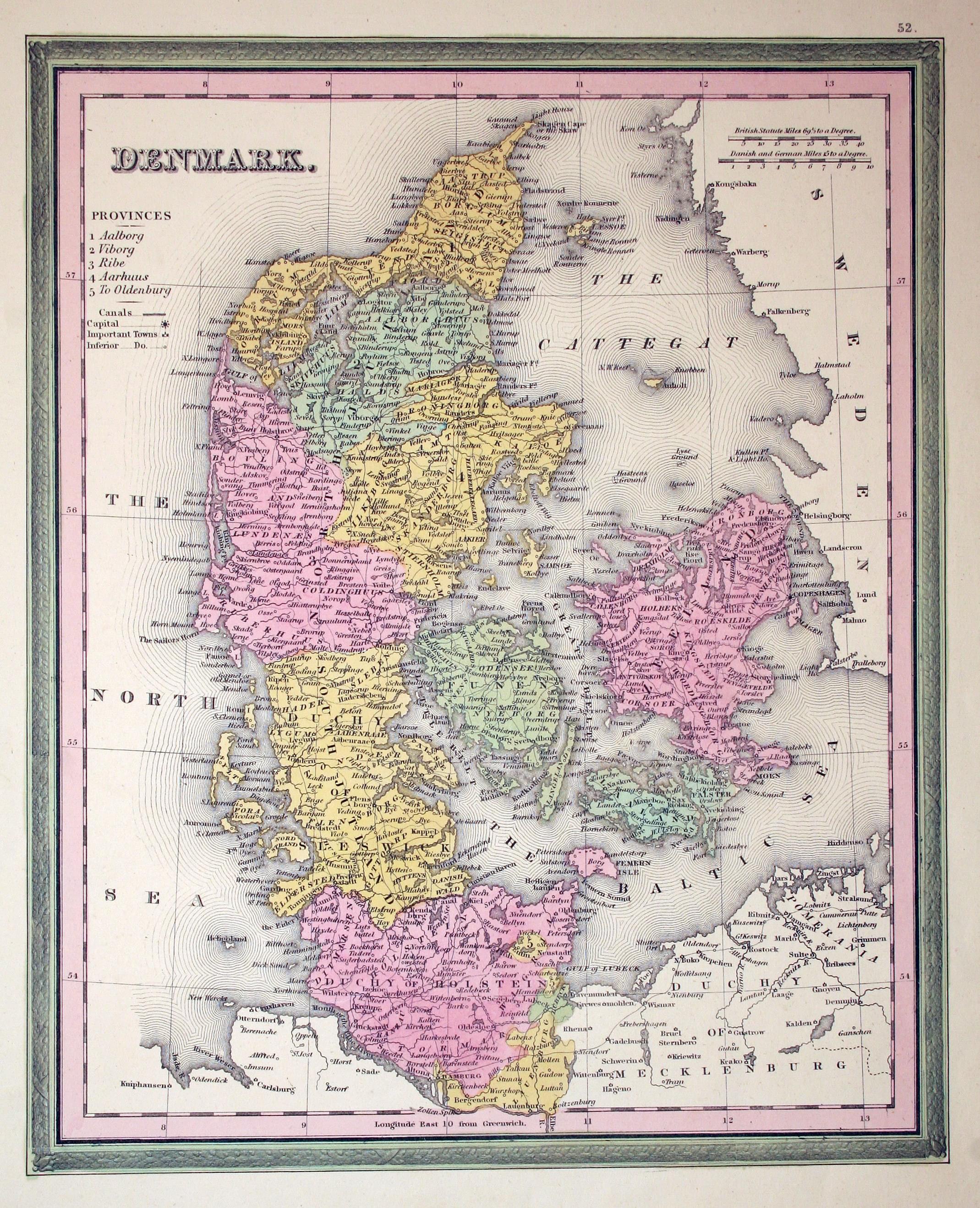
Denmark, Henry S. Tanner, 1845
4932 Denmark, Henry S. Tanner, 1845. Price: 28.00
DENMARK
Map of the country published in Philadelphia. 9 x 11 inches. Original wash colouring. Good condition.
17th Century
-
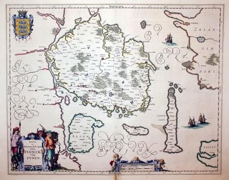
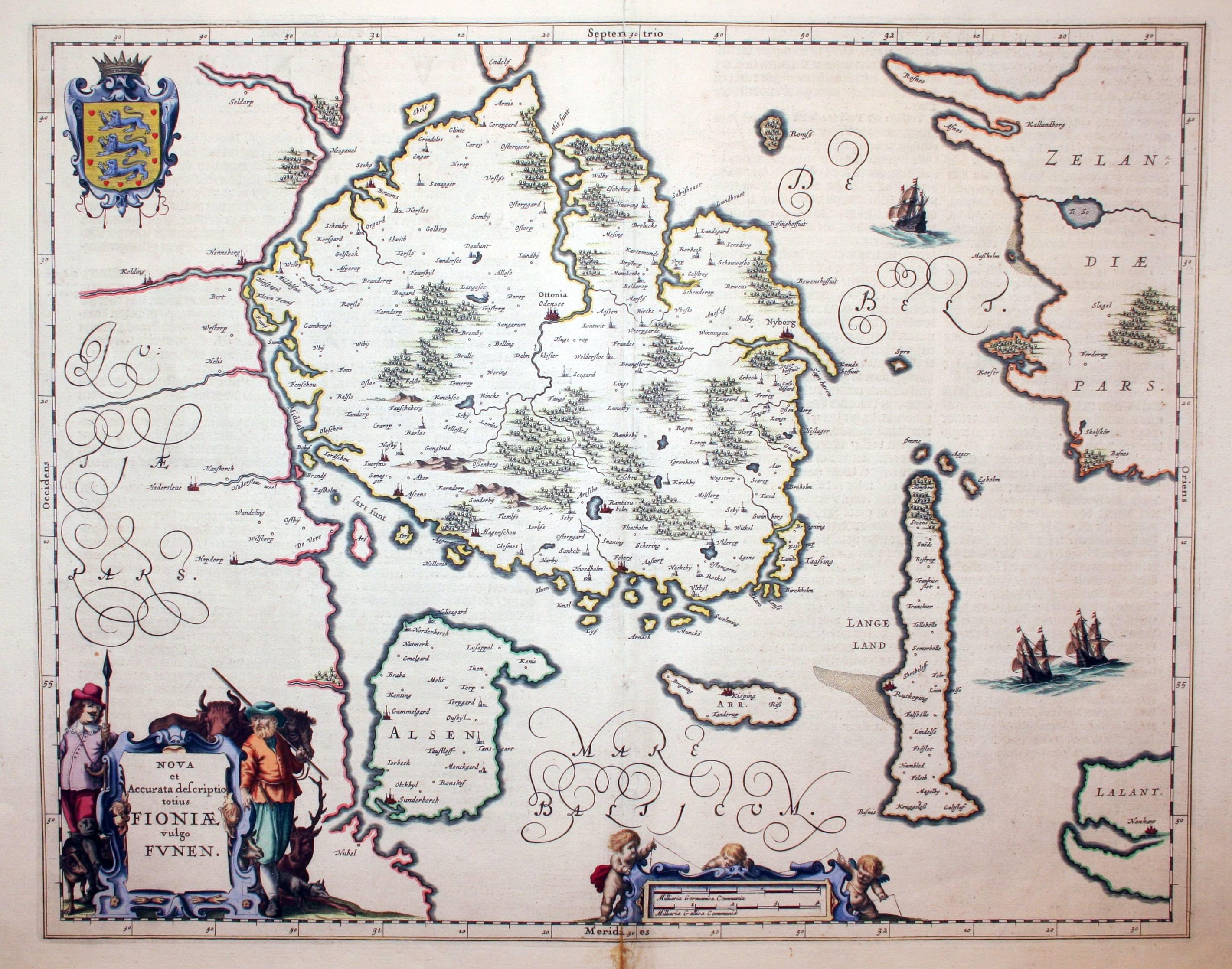
Funen, Jan Jansson, 1647
4021 Funen, Jan Jansson, 1647. Price: 170.00
Nova et Accurata descriptio totius FIONIAE vulgo FUNEN
A fine engraved 17th century map of Funnen and Langeland. Decorative title cartouche with figures of two gentlemen and animals. Scale with putti. Coat of arms. 20 x 16 inches, 510 x 402 mm. Dutch text on verso. Small slits at the top and bottom of the centre fold, otherwise good. Fine hand colouring.
From: Nieuwen Atlas
19th Century - Early Hand Colouring
-

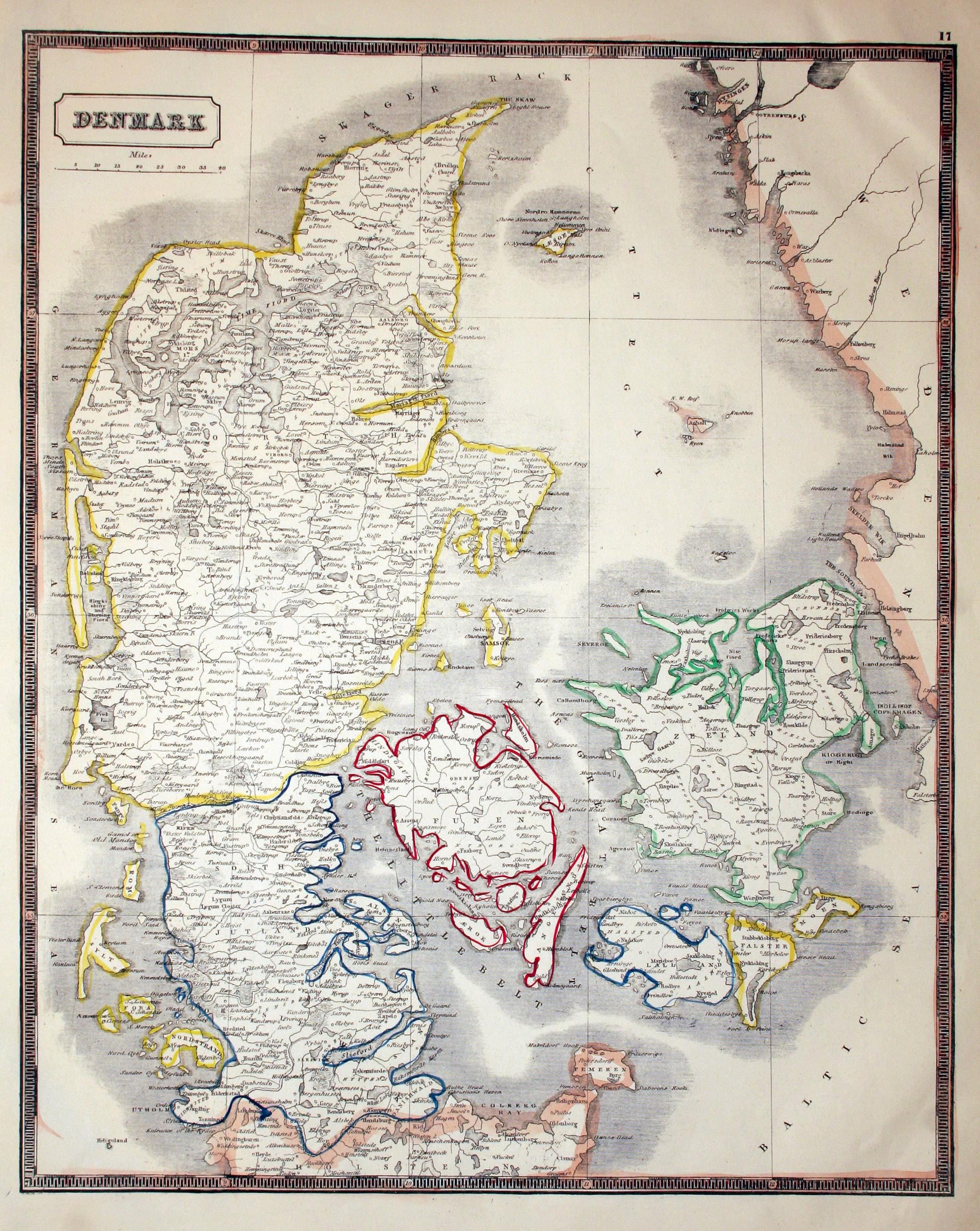
Denmark, John Lothian, 1852
16126 Denmark, John Lothian, 1852. Price: 26.00
DENMARK
A lithograph map of the country. Original outline hand colouring. 11.5 x 14 inches. Good condition.
From: Lothian's New Edinburgh Atlas
19th Century - Early Hand Colouring
-
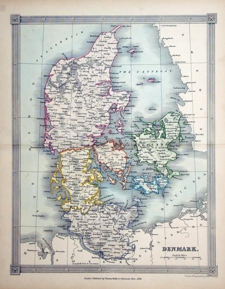
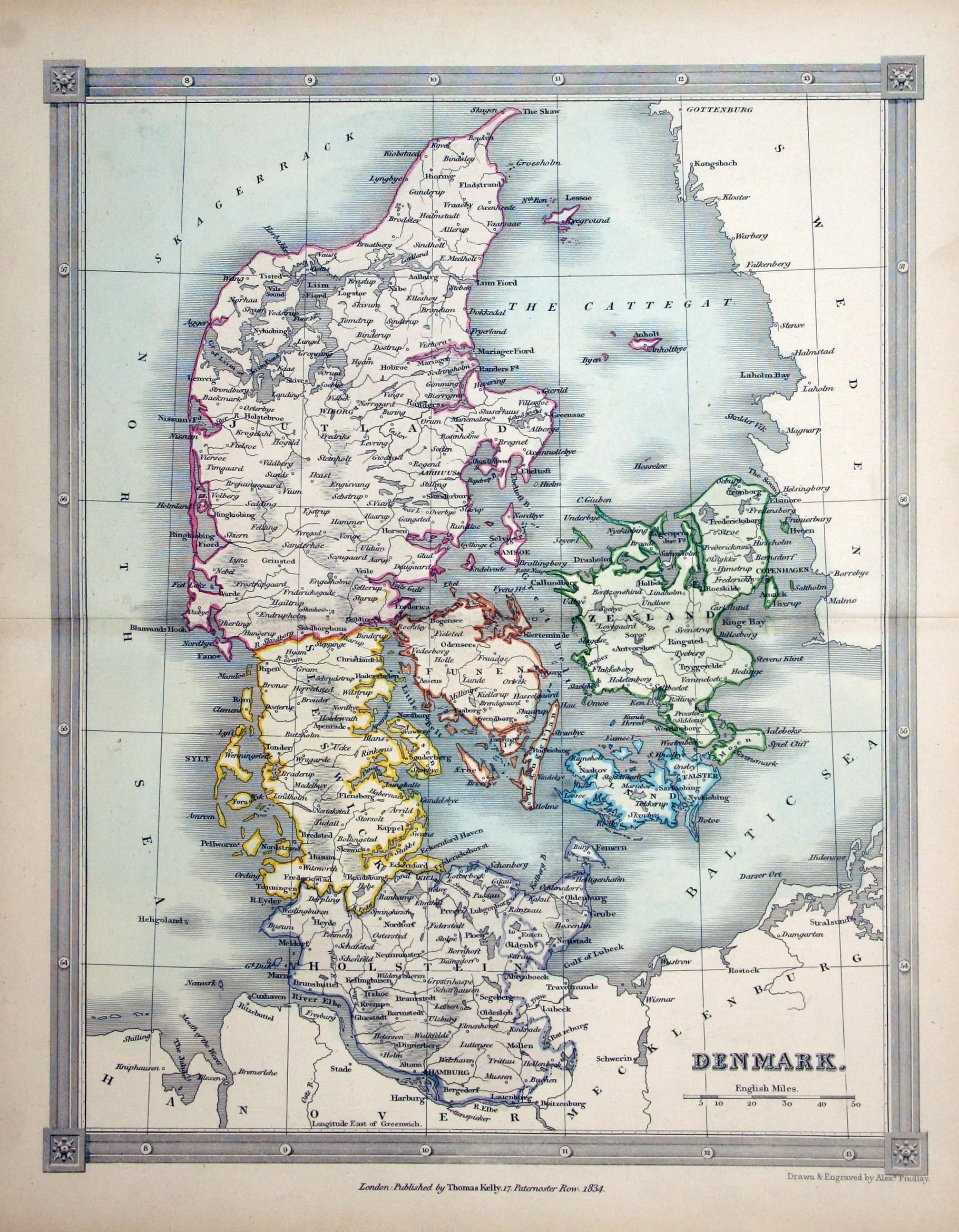
Denmark, Alexander Findlay 1836
17352 Denmark, Alexander Findlay 1836. Price: 25.00
DENMARK
A map of the country drawn and engraved by Alexander Findlay. Published by Thomas Kelly and date 1834. 7 1/2 x 9 1/2 inches. Original outline and wash hand colouring. Good clean condition.
19th Century - Early Hand Colouring
-
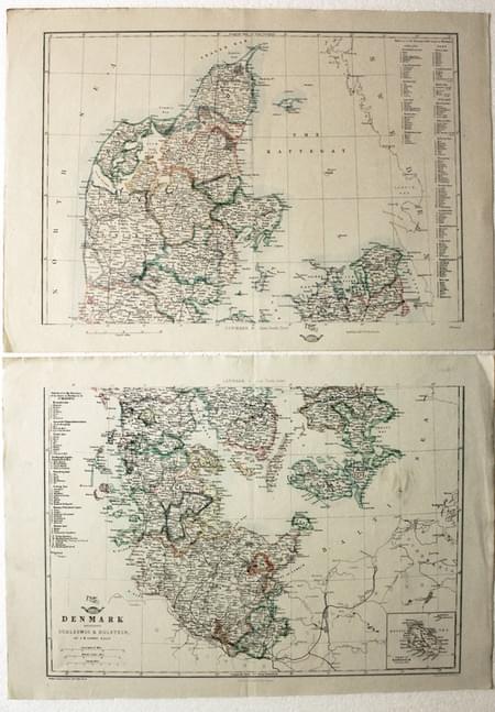
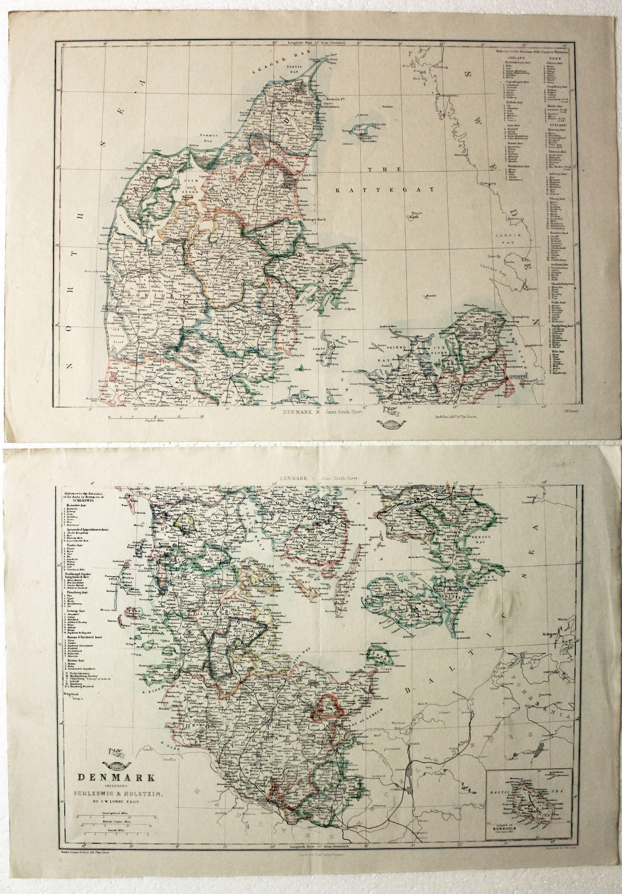
Denmark (2 Sheets ) J. W. Lowry, 1858
18791 Denmark (2 Sheets ) J. W. Lowry, 1858. Price: 26.00
DENMARK INCLUDING SCHLESWIG & HOLSTEIN
A lithograph map on two sheets. Each section measures 16.5 x 11.5 inches. Original outline hand colouring. Good condition.
From: The Weekly Dispatch Atlas
19th Century
-
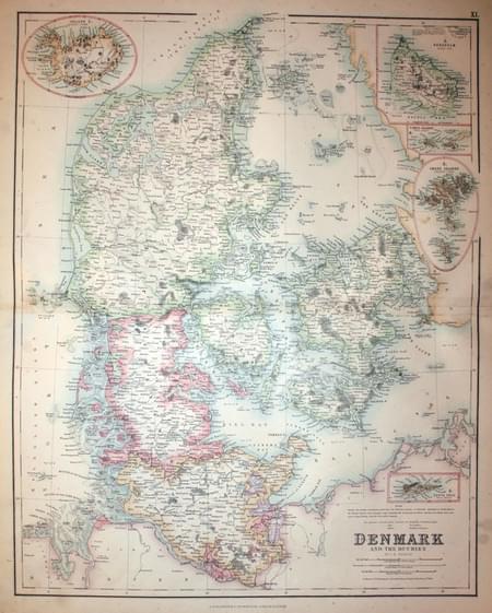
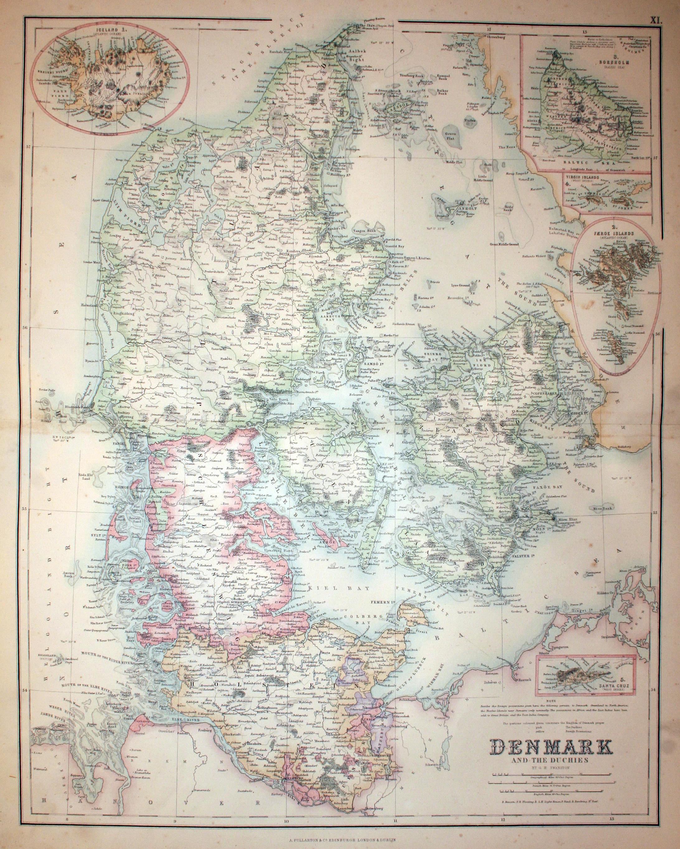
Denmark, Archibald Fullarton, c.1862
24427 Denmark, Archibald Fullarton, c.1862. Price: 26.00
DENMARK AND THE DUCHIES BY G. H. SWANSTON
A large detailed colour lithograph map. Inset map of Iceland, Bornholm, Faroe Islands, Virgin Islands and Santa Cruz in the West Indies.
From: The Royal Illustrated Atlas published by Archibald Fullarton and Company
19th Century - Early Hand Colouring
-
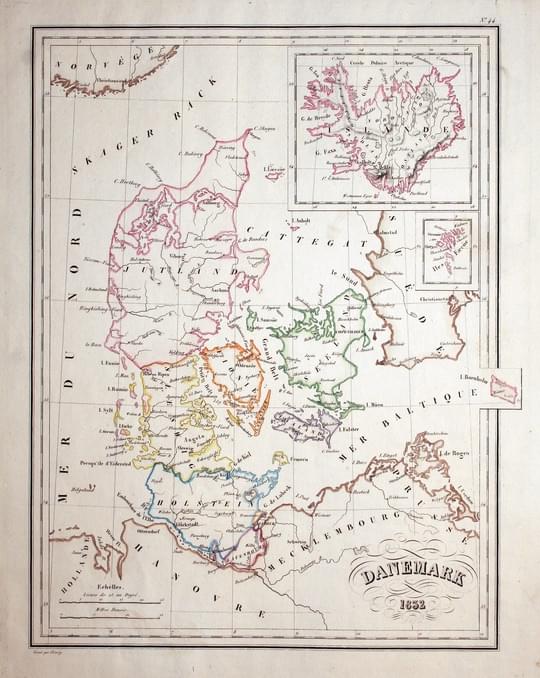
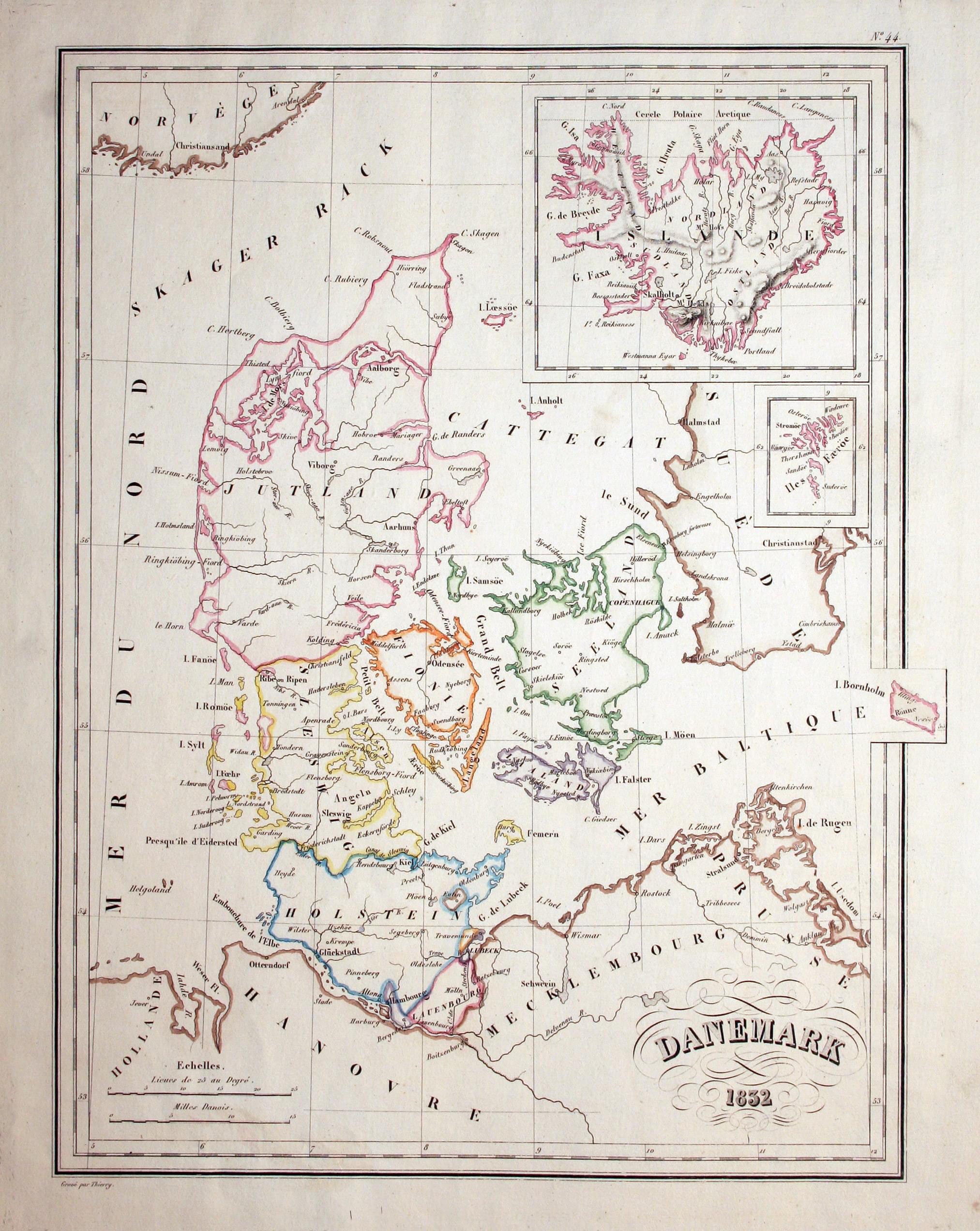
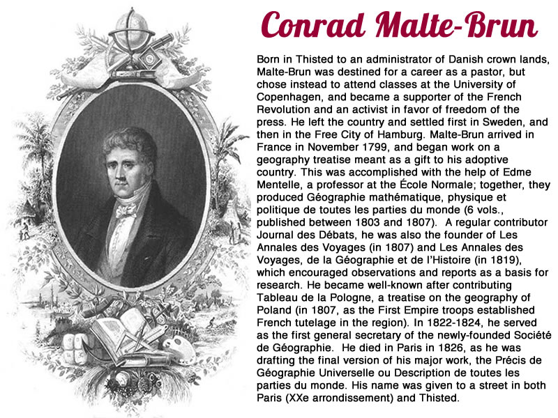
Denmark, Conrad Malte-Brun, 1837
21954 Denmark, Conrad Malte-Brun, 1837. Price: 28.00
DANEMARK 1832
An engraved map of the country with an inset map of Iceland. 8 3/4 x 11 3/4 inches. Original outline hand colouring. Small single worm hole, otherwise good condition.
From: Atlas Complet du Precis de la Geographie Universelle
18th Century - Early Hand Colouring
-
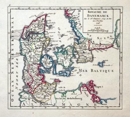
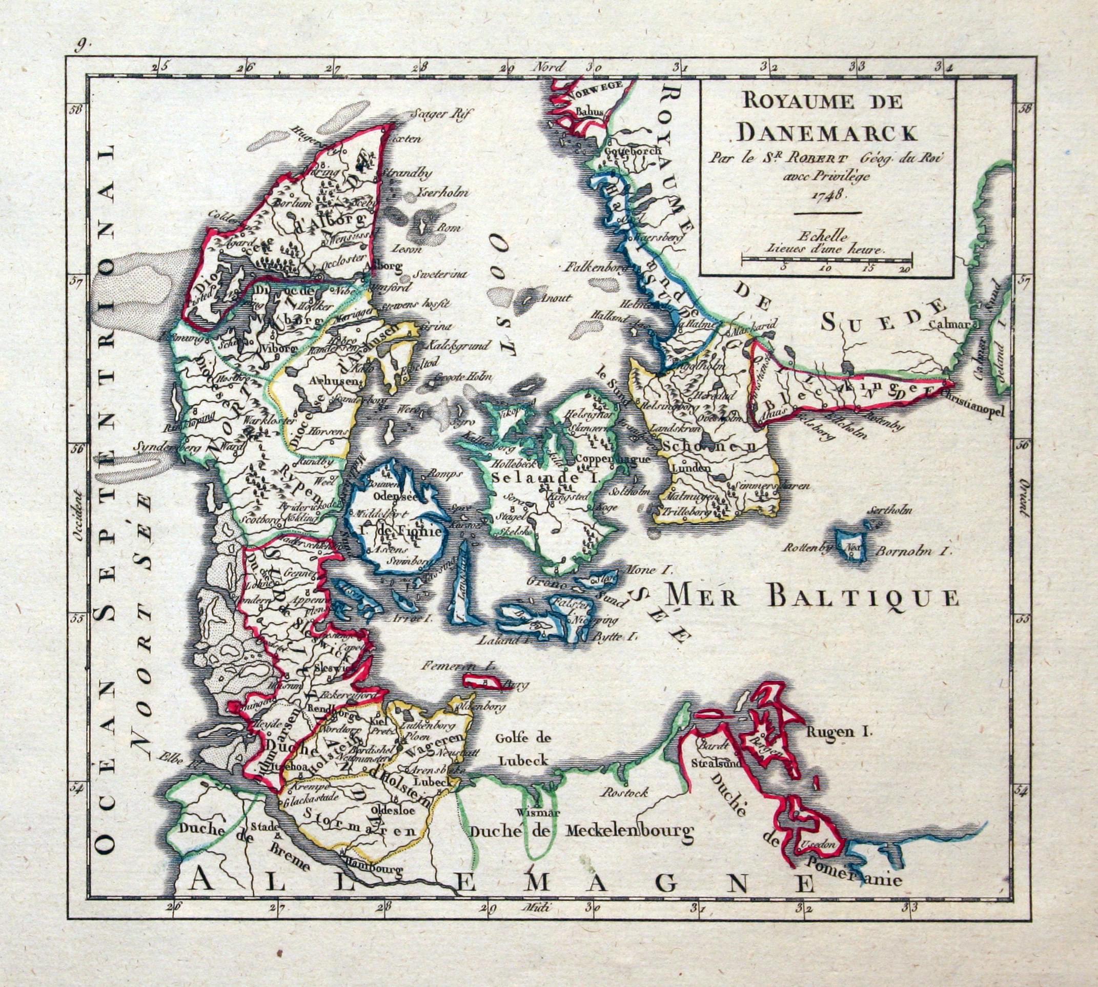
Denmark, Gilles Robert de Vaugondy, c.1768
22387 Denmark, Gilles Robert de Vaugondy, c.1768. Price: 40.00
ROYAUME DE DANEMARCK
An engraved map of Denmark. Title panel dated 1748. 7 x 6 1/4 inches. Original outline hand colouring. Good condition.
From: Atlas Portatif Universal
18th Century - Early Hand Colouring
-
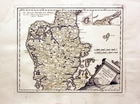
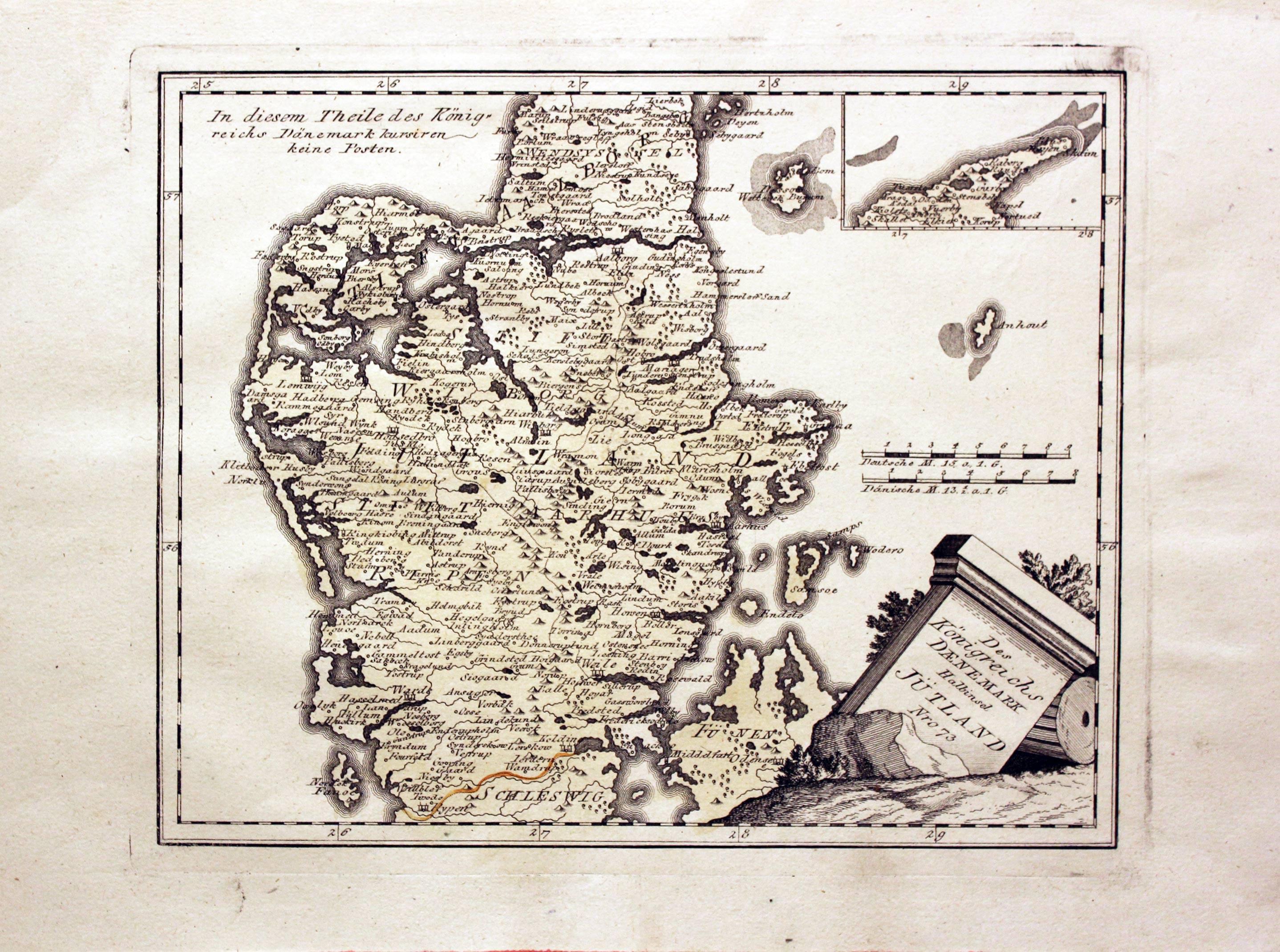
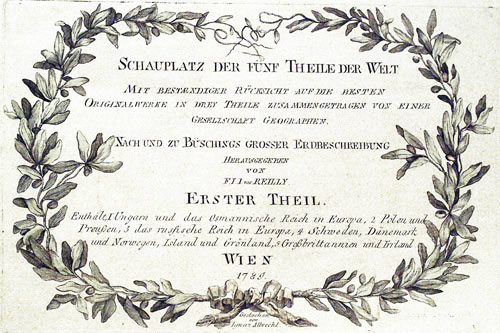
Jutland, Franz Johann Joseph von Reilly, 1789
24032 Jutland, Franz Johann Joseph von Reilly, 1789. Price: 72.00
DES KONIGRENEICHS DAENEMARK HALBINSEL JUTLAND Nro. 73
An engraved map of Jutland, the northern tip being shown in an inset. Uncoloured pictorial title cartouche. 11 x 9 inches. Early wash hand colouring. Good condition.
From: Schauplatz der funf Theile der Wel
18th Century - Early Hand Colouring
-

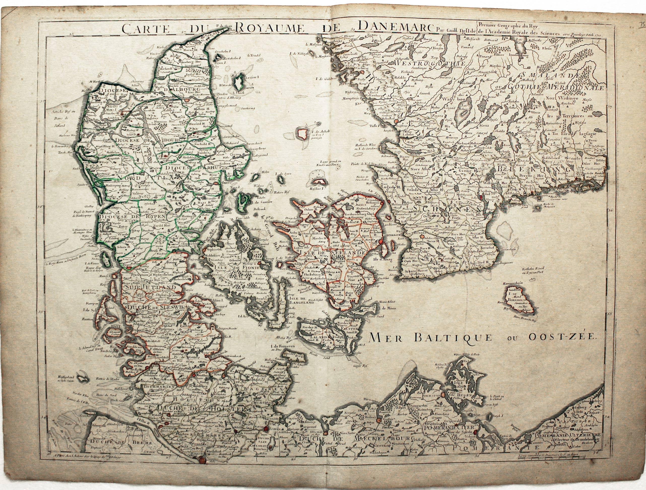
Denmark, Guillaume d'L'Isle, c.1726
25203 Denmark, Guillaume d'L'Isle, c.1726. Price: 110.00
CARTE DU ROYAUME DE DANEMARC
An engraved map including Holstein, Denmark. the islands and part of southern Sweden. 25 x 19 inches. The title appears across the top of the map and is dated 1710. Original outline hand colouring. Good condition.
19th Century - Early Hand Colouring
-

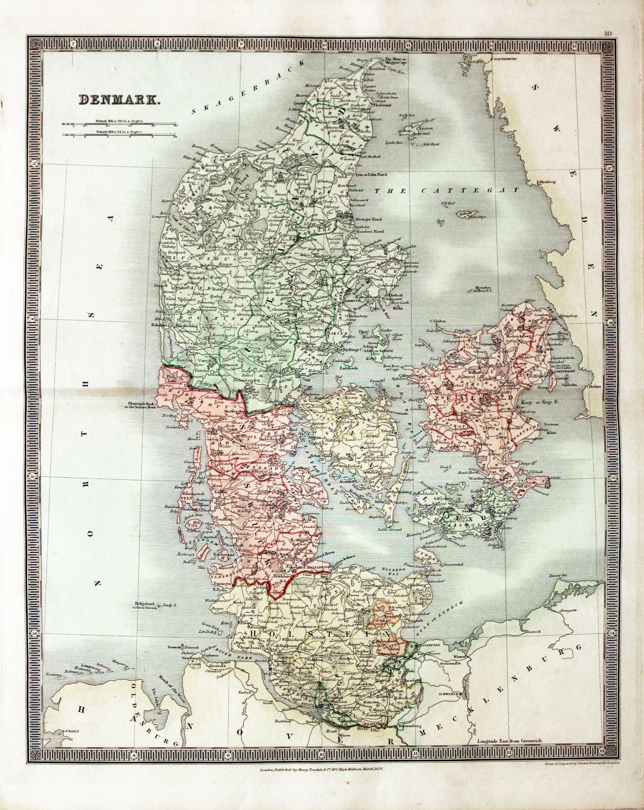
Denmark, John Dower, 1834
25623 Denmark, John Dower, 1834. Price: 40.00
DENMARK
An engraved map within a simple patterned border. 13 x 16 inches. Original outline and wash hand colouring. Fine condition.Paper watermarked J. Whatman 1833. Imprint of the publisher Henry Teesdale at 302 High Holborn, London.
From: A New General Atlas of the World
19th Century
-
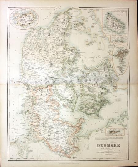
Denmark, George H. Swanston, 1862
28574 Denmark, George H. Swanston, 1862. Price: 20.00
DENMARK AND THE DUCHIES BY G. H. SWANSTON
A large detailed colour lithograph map. Inset map of Iceland, Bornholm, Faroe Islands, Virgin Islands and Santa Cruz in the West Indies.
From: The Royal Illustrated Atlas published by Archibald Fullarton and Company
19th Century - Early Hand Colouring
-

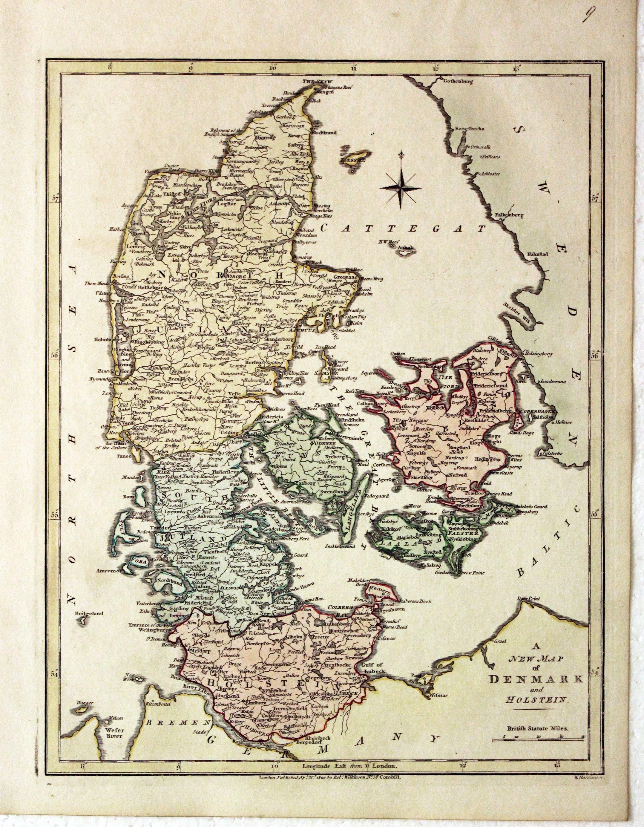
Denmark, Robert Wilkinson, 1800
29472 Denmark, Robert Wilkinson, 1800. Price: 46.00
A NEW MAP OF DENMARK AND HOLSTEIN
An engraved map with publishers imprint beneath dated 1800. Compass rose and scale. 8 3/4 x 11 1/2 inches. Original outline and wash hand colouring. Good stout paper. Manuscript number 9 in blank margin. Good clean condition with no repairs. A nice specimen.
From: A General Atlas being A Collection of Maps of the World and Quarters the Principal Empires, Kingdoms &c, with their several Provinces & other Subdivisions, Correctly Delineated
NORWAY
17th Century - Sea Chart
-

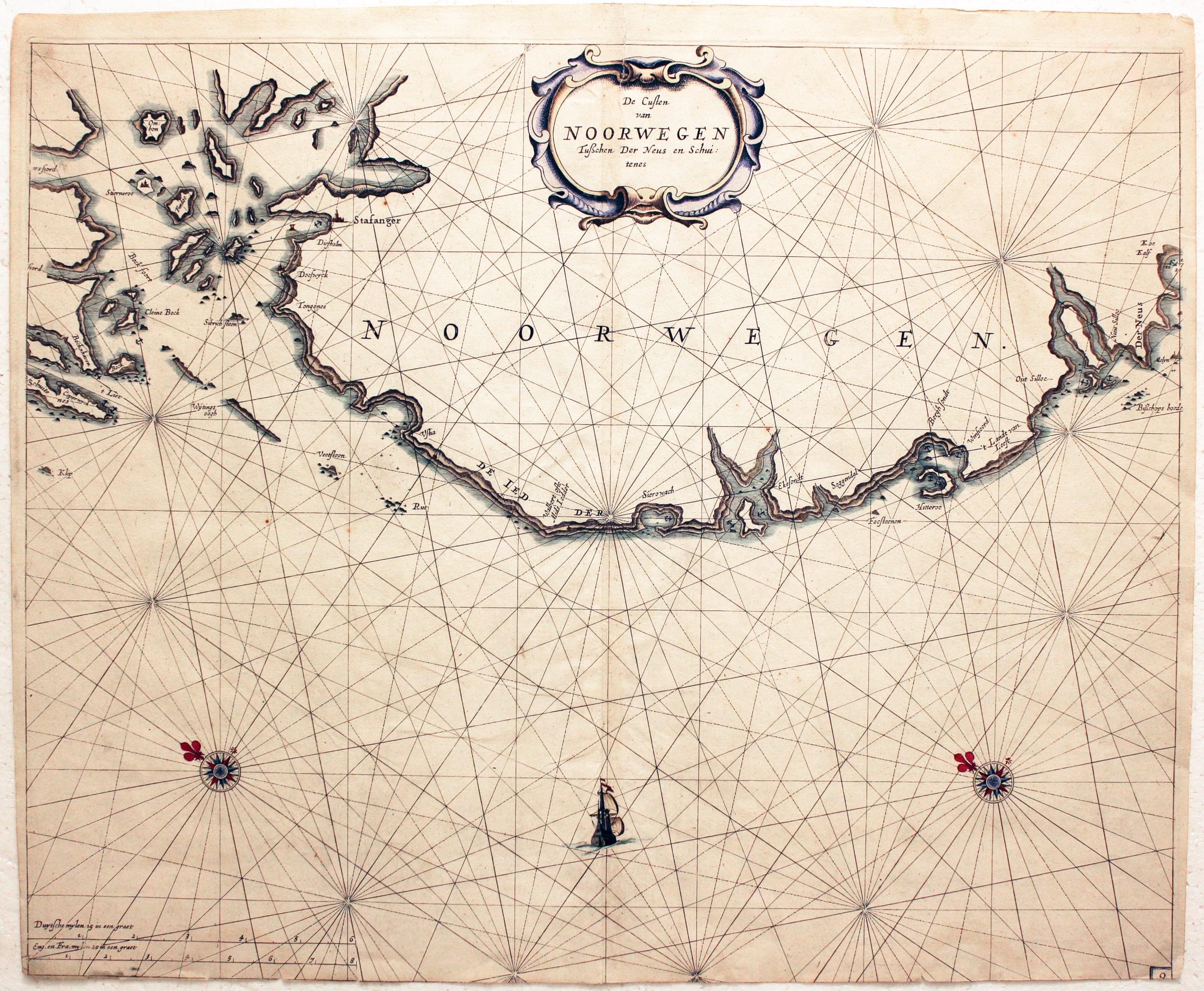
Coast of Norway, Jacobz family, 1676
5395 Coast of Norway, Jacobz family, 1676. Price: 135.00
De Cuusten van NOORWEGEN Tusschen Der Neus en Schuitenes
An engraved chart orientated with east at the top. It shows part of the coast including Stavanger. Decorative title cartouche. Two compass roses and rhumb lines. Ship. 21 x 17 inches, 520 x 420 mm. Hand coloured. No bottom blank margin and very slight trimming across the bottom of the chart.
19th Century - Early Hand Colouring
-
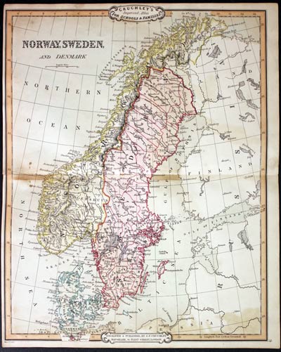
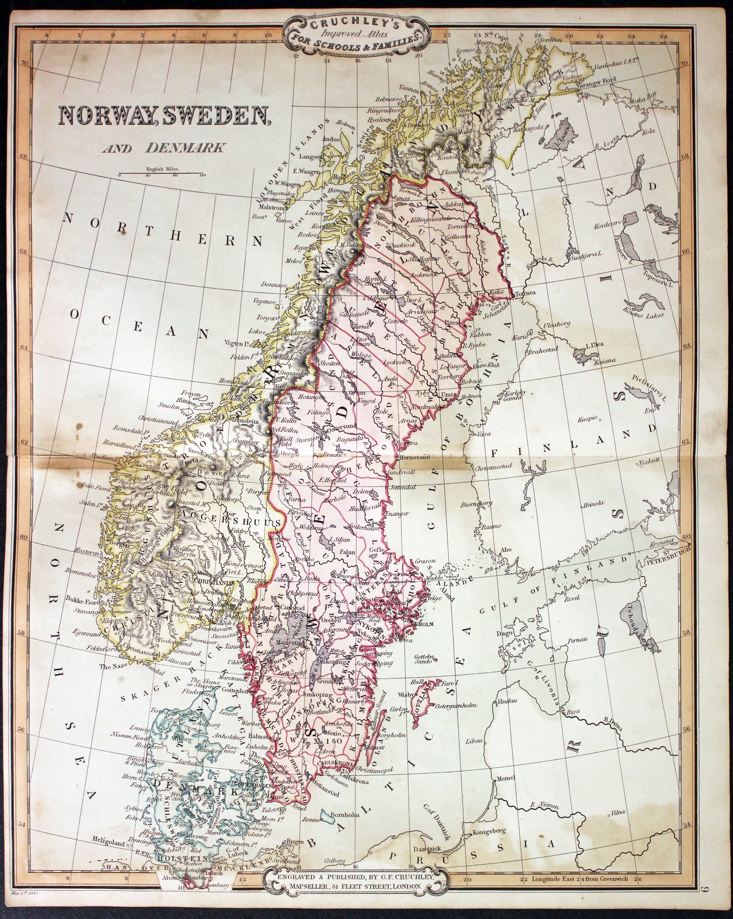
Norway and Sweden Frederick Cruchley, 1848
31517 Norway and Sweden Frederick Cruchley, 1848. Price: 38.00
NORWAY, SWEDEN AND DENMARK
A clearly engraved map of the countries. Publishers rococo cartouche inscribed Cruchley’s Improved Atlas, for Schools & Families. Original outline and wash hand colouring. Small left hand blank margin. A little browning but otherwise good condition. 13 3/4 x 17 1/4 inches. Original outline and wash hand colouring. Good condition.
From: Cruchley’s General Atlas for the use of Schools and Private Tuition
SWEDEN
19th Century - Early Hand Colouring
-
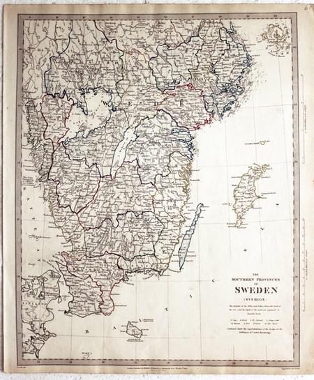
Southern Sweden, SDUK 1833
27008 Southern Sweden, SDUK 1833. Price: 28.00
THE SOUTHERN PROVINCES OF SWEDEN (SVERIGE)
An engraved map published by the Society for the Diffusion of Useful Knowledge. Imprint for the publishers Baldwin & Craddock below dated 1833. 12 1/4 x 15 1/4 inches, 310 x 390 mm. Original outline and wash hand colouring. manuscript 61 in top right hand blank margin. Good clean undamaged condition.
