ANTIQUE MAPS of CALAIS, CHAMPAGNE
DAUPHINE and FRANCHE-COMPTE
Richard Nicholson of Chester
A World of Antique Maps and Prints
Established in 1961
All the Maps on this page are guaranteed to be genuine early specimens
published in or around the year stated
CALAIS
17th Century - Sea Chart
-

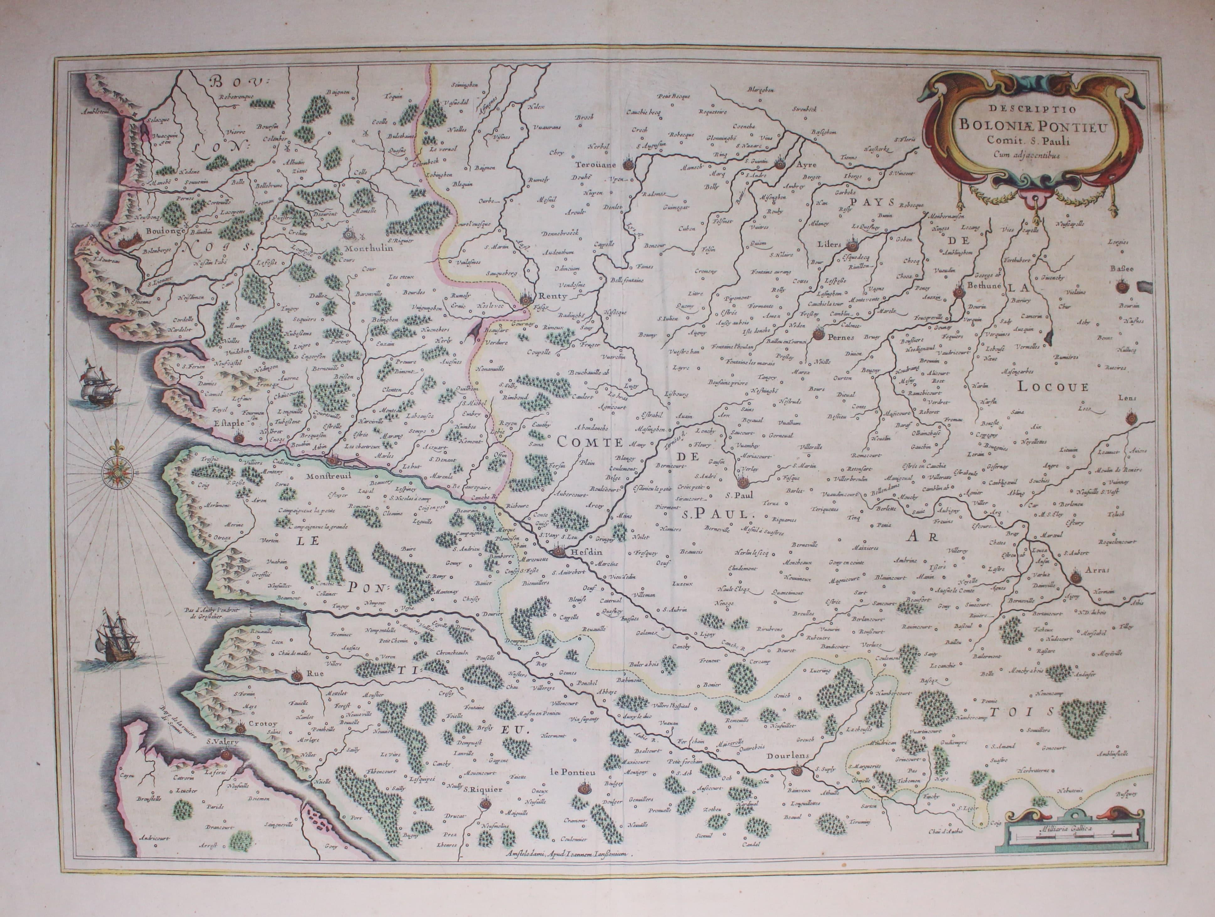
Boulogne, Jan Jansson, c.1647
9929 Boulogne, Jan Jansson, c.1647. Price: 90.00
DESCRIPTIO BOLONIAE PONTIEU...
A map including the coastline from Boulogne to St. Valery and the River Somme. Extends eastwards to include Bethune and Arras. Title and scale cartouches. Compass rose and two ships. Latin text on verso. 20 x 15 inches. Original hand colouring. Good condition.
16th Century - Town Plan
-

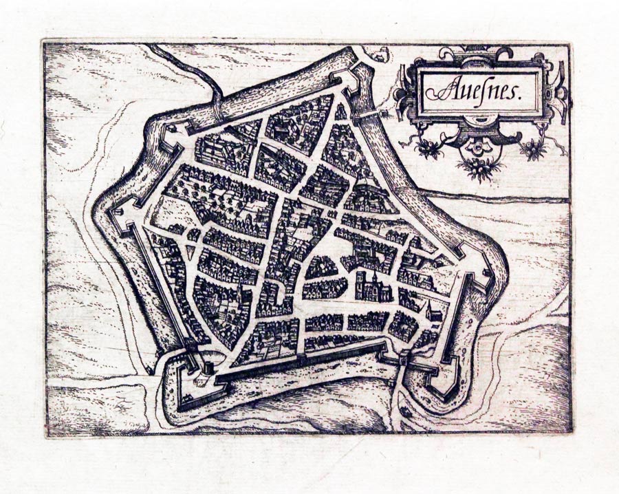
Avesnes, Luigi Guicciardini, 1582
29525 Avesnes, Lodovico Guicciardini, 1582. Price: 30.00
AVESNES
An interesting small early bird’s eye plan of the town. Decorative title cartouche. 6 1/2 x 4 3/4 inches. Uncoloured. Good clean undamaged condition.
From: Description de Touts les Pais-Bas autrement appelles la Germamie Inferieure ou Basse Allemagne
18th Century - Early Hand Colouring
-

Department of Calais, Louis Brion de la Tour, c.1790
30754 Department of Calais, Louis Brion de la Tour, c.1790. Price: 46.00
CARTE DES DEPARTMENS DU PAS DE CALAIS DE LA SOMME, D’OISE ET DE L’AISNE... Paris, Desnos 1790
An engraved map of the regions embellished with an uncoloured rococo title cartouche dated 1790. 13 3/4 x 9 1/2 inches. Flanked by two panels of French text pasted on Original outline and wash colouring. Good condition.
From the Géographie Moderne Historique Et Politique
16th Century
-

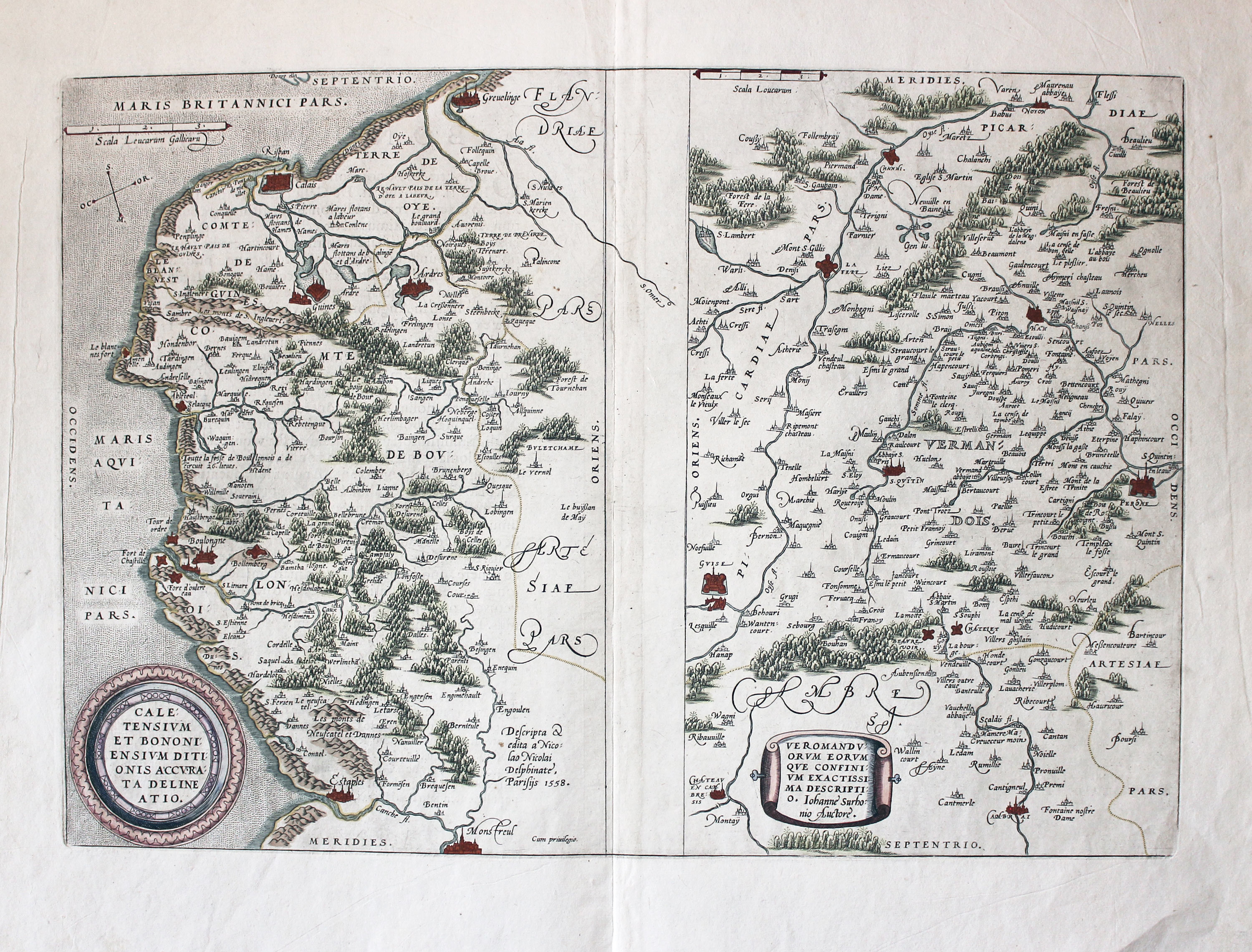
Calais and Vermandois, Abraham Ortelius, c.1600
32208 Calais and Vermandois, Abraham Ortelius, c.1600 Price: 86.00
CALETENSIUM ET BONONIENSIUS DITIONIS ACCURATA DELINEATIO / VEROMANDUORUM EORUM QUE CONFINIUM EXACTISSI,A DESCRIPTIO
Two detailed maps on one sheet. The left hand side maps shows the Belgian and French coast from Gravelines to Èstaples to include Calais and Boulogne. Embellished with a decorative cirular cartouche and scale. The right hand map is orientated with south at the top. It extends from Cambrai in the north southwards to include Pérrone and Noyon in the Oios department. Banner title cartouche. French text on verso. Hand coloured. Together 19 x 13 inches. Original centre fold Good clean condition.
From: Theatrum
17th Century
-

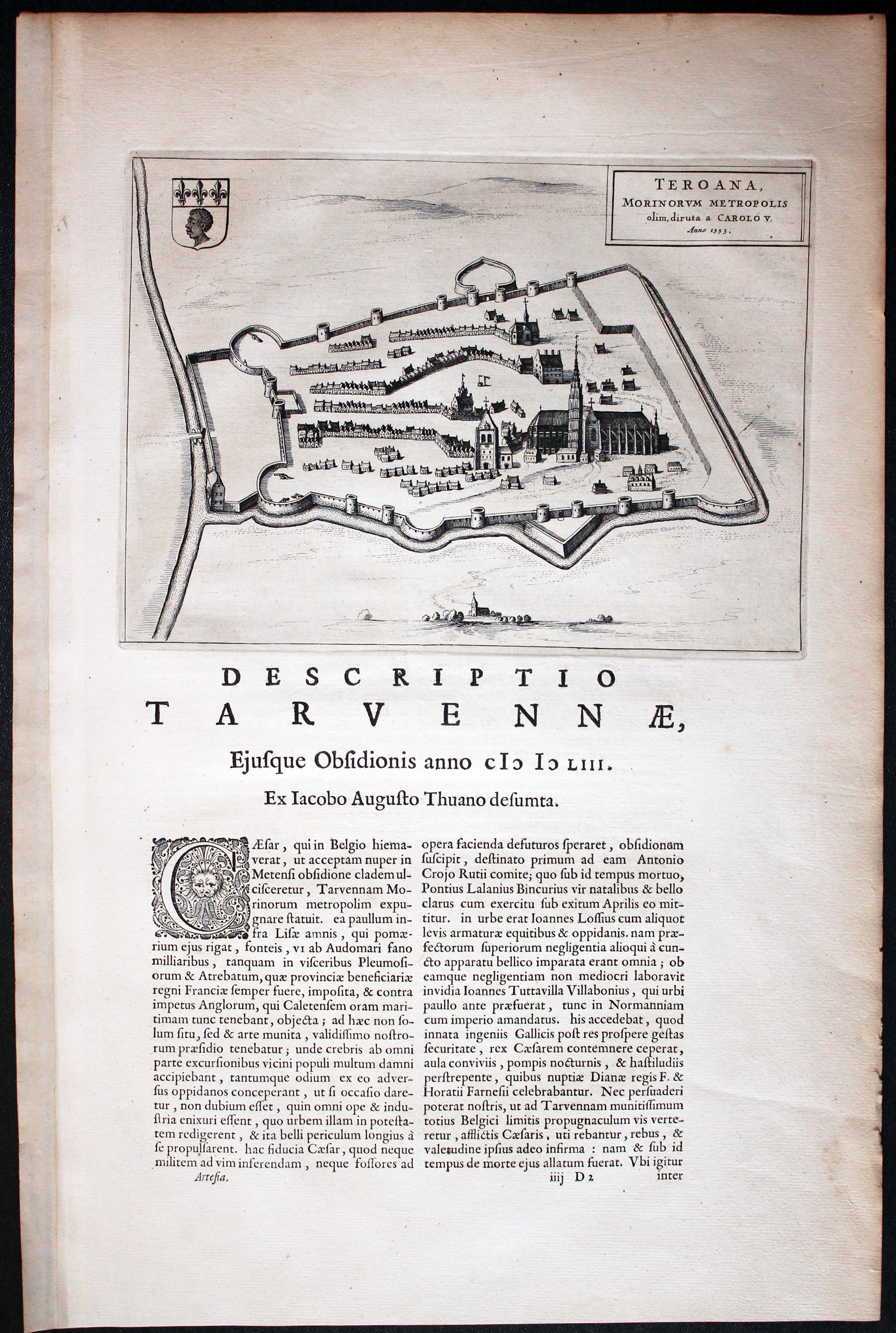
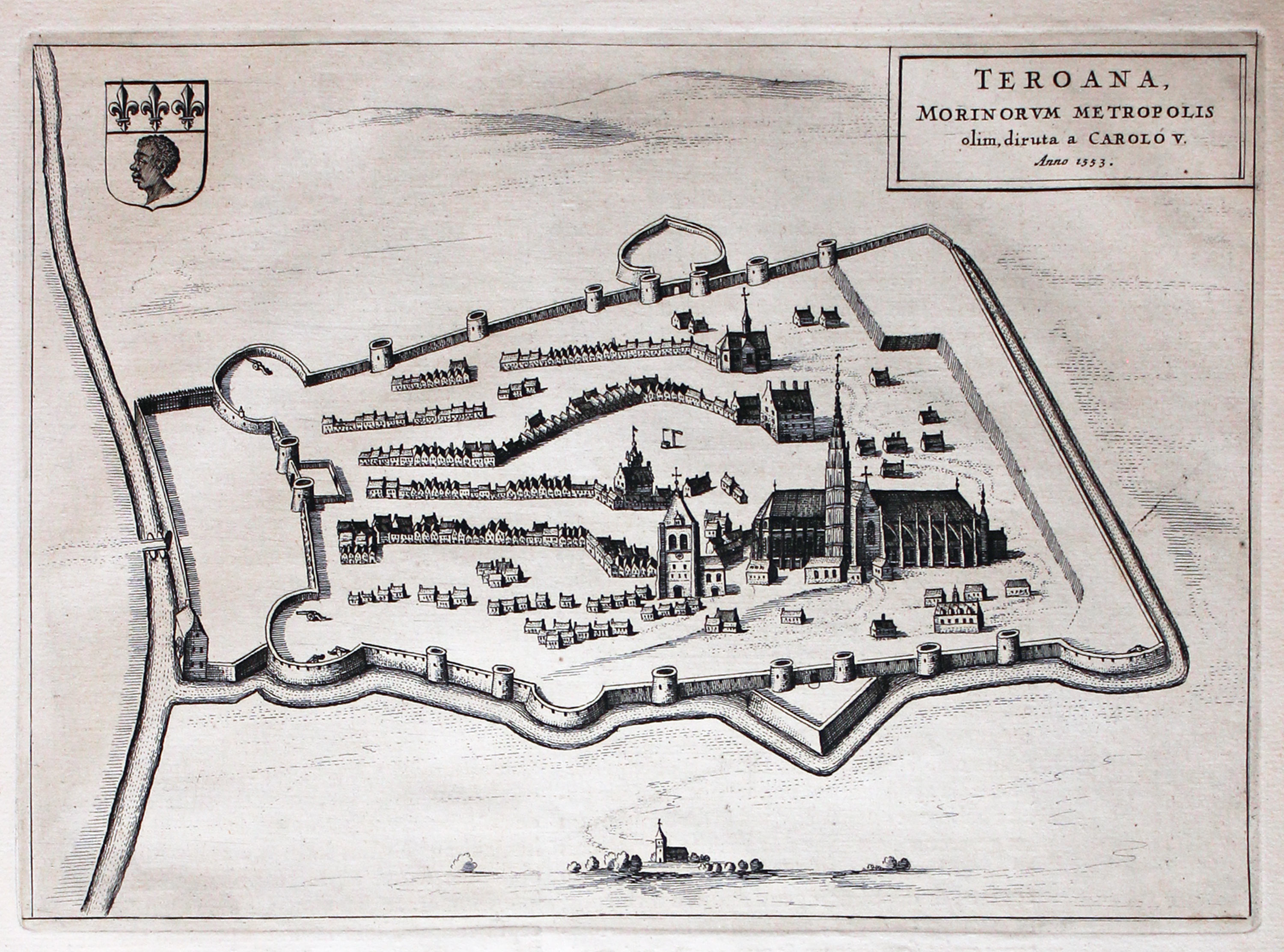
Thérouanne, Calais, Joan Blaeu, 1649
-

Detail map Thérouanne, Calais, Joan Blaeu, 1649
32279 Thérouanne, Calais, Joan Blaeu, 1649. Price: 110.00
Teroana morinorum metropolis olim, diruta a Carolo V. Anno 1553
An engraved plan of Tarwanna or Tervanna which today is known as the town of Thérouanne. The title is ithin a simple panel and the uncoloured plan is further embellished with a coat of arms. The plan measures 10 1/4 x 7 1/4 and is set at the top of a folio page of Latin text with decorative initial. The text continues on verso. Fine clean condition. Straight from the atlas and not previously sold as a single map.
From: Novum ac Magnum Theatrum Urbium Belgicae Foederate.
Thérouanne is a commune in the Pas-de-Calais department in the Nord-Pas-de-Calais region of France. At the time of the Gauls, Tarwanna or Tervanna was the capital of the Belgian tribe of the Morin but later when the Romans conquered Gaul, they too made the city the capital of the Civitas Morinorum district. Later in history the town was captured by the Emperor Maximilian and Henry VIII from the French in 1513 after the battle of the Spurs. In 1553, the date shown in the map title panel Charles V besieged Thérouanne in revenge for a defeat by the French at the siege of Metz. After he captured the city he ordered it to be razed, the roads to be broken up, and the area to be ploughed. Only a small commune which remained then named Saint-Martin-Outre-Eaux, was left standing, which took over the name Thérouanne around 1800.
CHAMPAGNE
17th Century
-

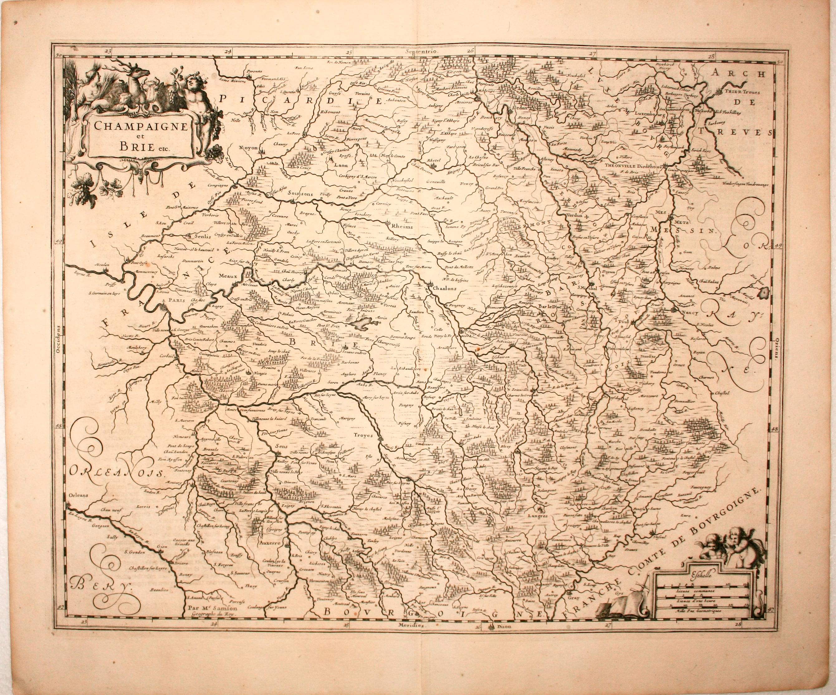
Champgane and Brie, Jan Jansson, 1647
5524 Champagne and Brie, Jan Jansson, 1647. Price: 125.00
CHAMPAIGNE et BRIE etc
A good engraved map embellished with decorative title and scale cartouches. 20 x 16 inches, 500x 400 mm. Dutch text on verso. Uncoloured. Split at the bottom of the centre fold, otherwise good condition.
From: Nieuwen Atlas
17th Century
-

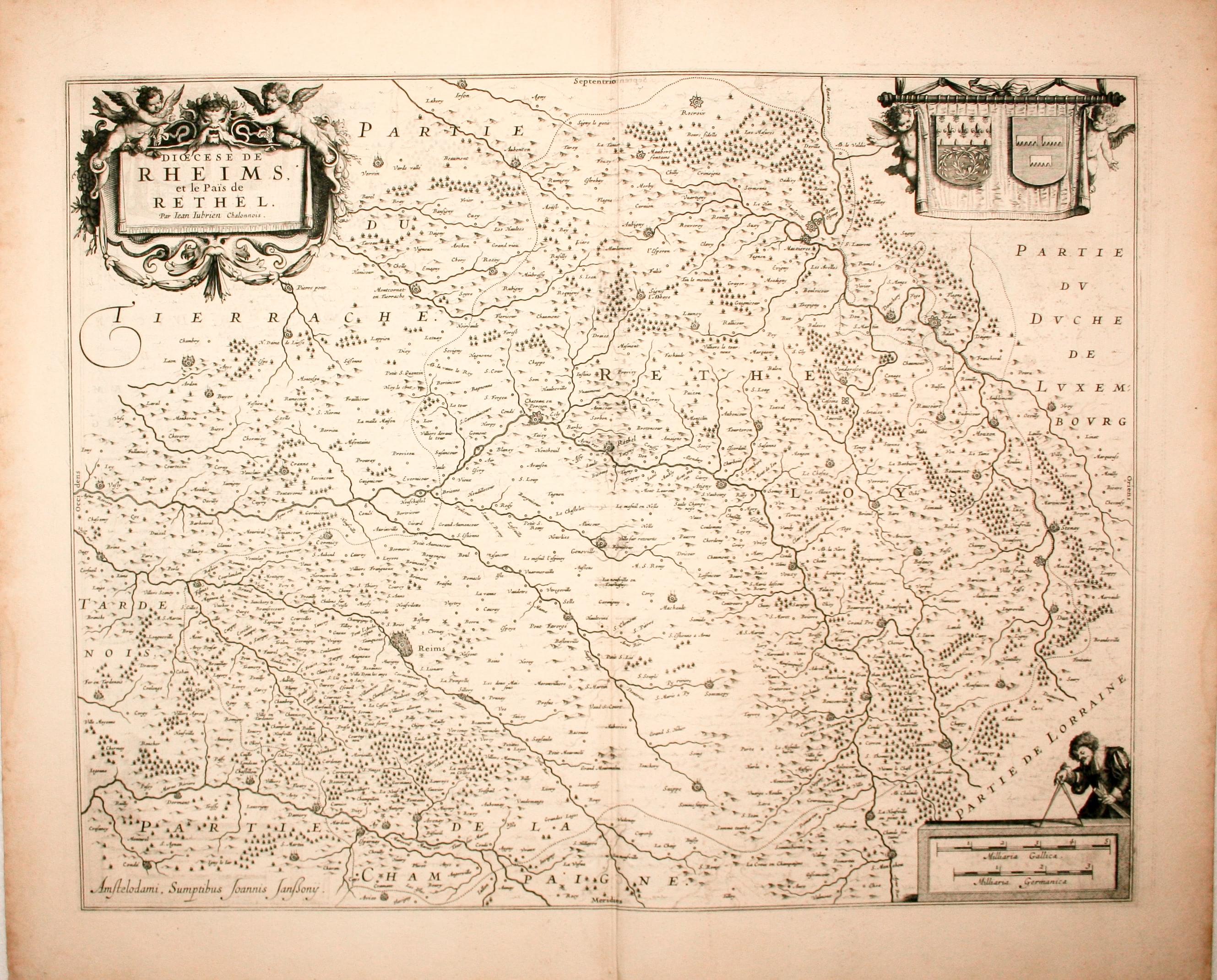
Reims and Rethel, Jan Jansson, 1647
5525 Reims and Rethel, Jan Jansson, 1647. Price: 124.00
Diocese de RHEIMS et le Pais de RETHEL Par Jean Jubrien Chalonnois
A good engraved map centred on the towns of Reims and Rethel. Decorative title cartouche with an attribution to the French surveyor Jean Jubrien (1569-1641). Scale panel with figure. Two coats of arms. 19 x 15 inches, 500 x 390 mm. Dutch text on verso. Uncoloured. Good conditon.
From: Nieuwen Atlas, Ofte Weerelt-Beschrijvinghe
17th Century - Early Hand Colouring
-

Reims, Jan Jansson, c.1649
10963 Reims, Jan Jansson, c.1649. Price: 105.00
DIOECESE DE RHEIMS ET LE PAIS DE RETHEL
An engraved map. The decorative title cartouche bears an attribution to the French surveyor Jean Jubren, (1569-1641). Banner supported by two putti displaying two coats of arms. Scale cartouche with the figure of a cartographer. 19 x 15 inches, 490 x 385 mm. Original hand colouring. Two small marginal tears.
18th Century - Early Hand Colouring
-

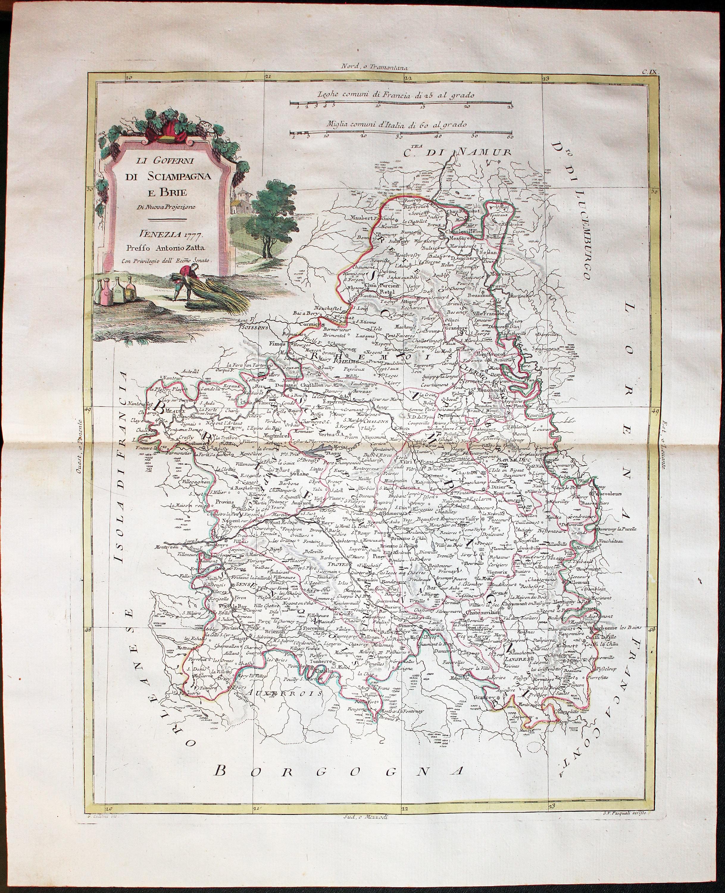
Champagne and Brie, Antonio Zatta, c.1780
32145 Champagne and Brie, Antonio Zatta, c.1780. Price: 70.00
Li Governi di Sciampagna e Brie di nuova projezione
An engraved map of the Provinces of Champagne and Brie. To the west Metz and Nancy. Decorative pictorial cartouche dated 1777. 12 x 15 1/4 inches. Original hand colouring. Centre fold as published. Superb clean condition. Straight from the atlas and not sold previously as a single map.
From: Atlante Novissimo
DAUPHINE
Early 18th Century - Original Hand Colouring
-

Dauphine, Frederick de Wit, c.1700
15137 Dauphine, Frederick de Wit, c.1700. Price: 150.00
LE GOUVERNEMENT GENERAL DU DAUPHINE...
A fine engraved map of this region of south east France. Decorative title and scale cartouches with putti and coat of arms. 24 x 19 inches, 600 x 495 mm. Original hand colouring. Good condition.
FRANCHE-COMTE
Franche-Comte is a region of France on the border with Switzerland. The capital is Besancon
17h Century - Early Hand Colouring
-

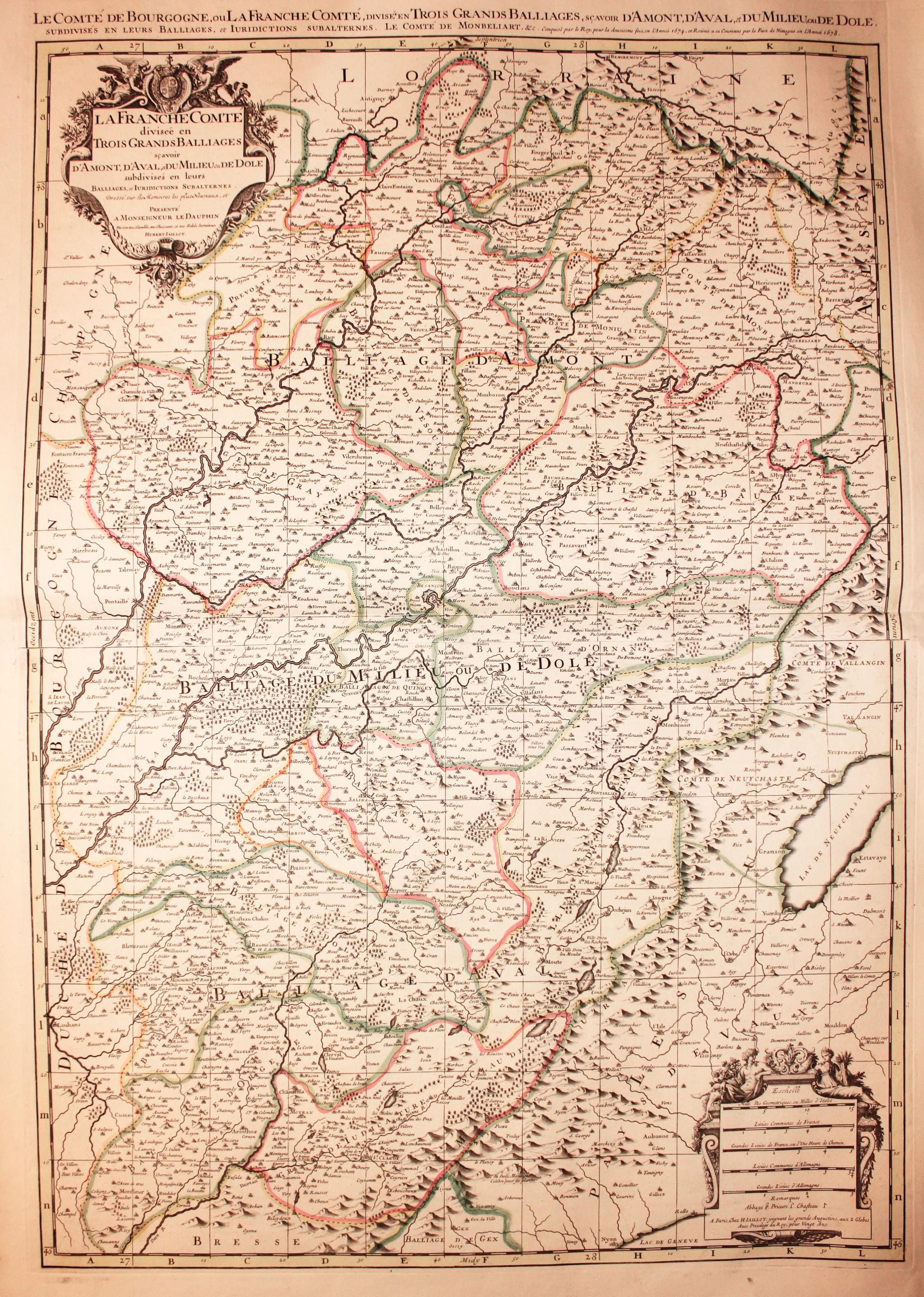
Franche Comte, Alexis Hubert Jaillot, c.1696
25596 Franche Comte, Alexis Hubert Jaillot, c.1696. Price: 195.00
LA FRANCHE COMTE DIVISEE EN TROIS GRANDS BALLIAGES SCAVOIR D'AMONT, D'AVAL, ET DU MILIEU OU DE DOLE...
A fine large engraved map of the region. Decorative uncoloured title and scale cartouches. An additional title also appears above the map and bears the date of 1678. 31 1/2 x 21 3/4 inches. Original outline hand colouring. Fine condition.
Franche-Comté (the former "Free County" of Burgundy, as distinct from the neighbouring Duchy) is a région and a traditional province of eastern France. It is formed by the modern departments of Doubs, Jura, Haute-Saône and Territoire de Belfort.
The principal cities are Besançon (the historical and modern capital of the region), Belfort, and Montbéliard (Aire Urbaine Belfort-Montbéliard-Héricourt-Delle). Other important cities are Dole (capital before the region before it was conquered by Louis XIV in the late 17th century), Vesoul (capital of Haute-Saône), and Lons-le-Saunier (capital of Jura).
17th Century
-

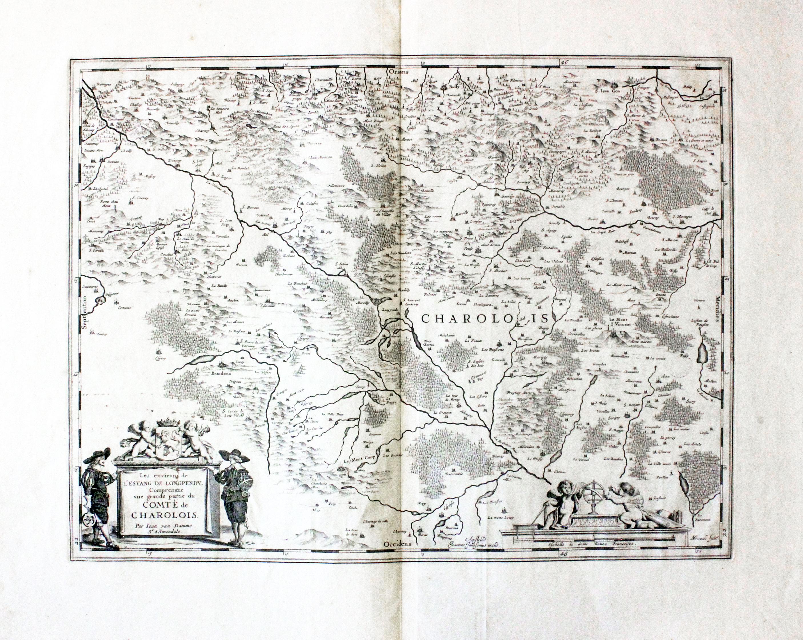
Charolois, Jan Jansson c.1680
30756 Charolois, Jan Jansson c.1680. Price: 56.00
LES ENVIROS DE L’ESTANF DE LONGPENDU, COMPRENANT UNE GRANDE PARTIE DU COMTE DE CHARLOLOIS PAR JEAN VAN DAMME SR. D’AMERNDALE
An engraved map of the region of a surveyor, animals and putti. The title cartouche bears an attribution to the French cartographer Jan van Damme. 19 1/2 x 14 3/4 inches. Uncoloured. Small faded Chetham’s Library stamp. Wide blank margins. Good condition.
GUYENNE
17th Century
-
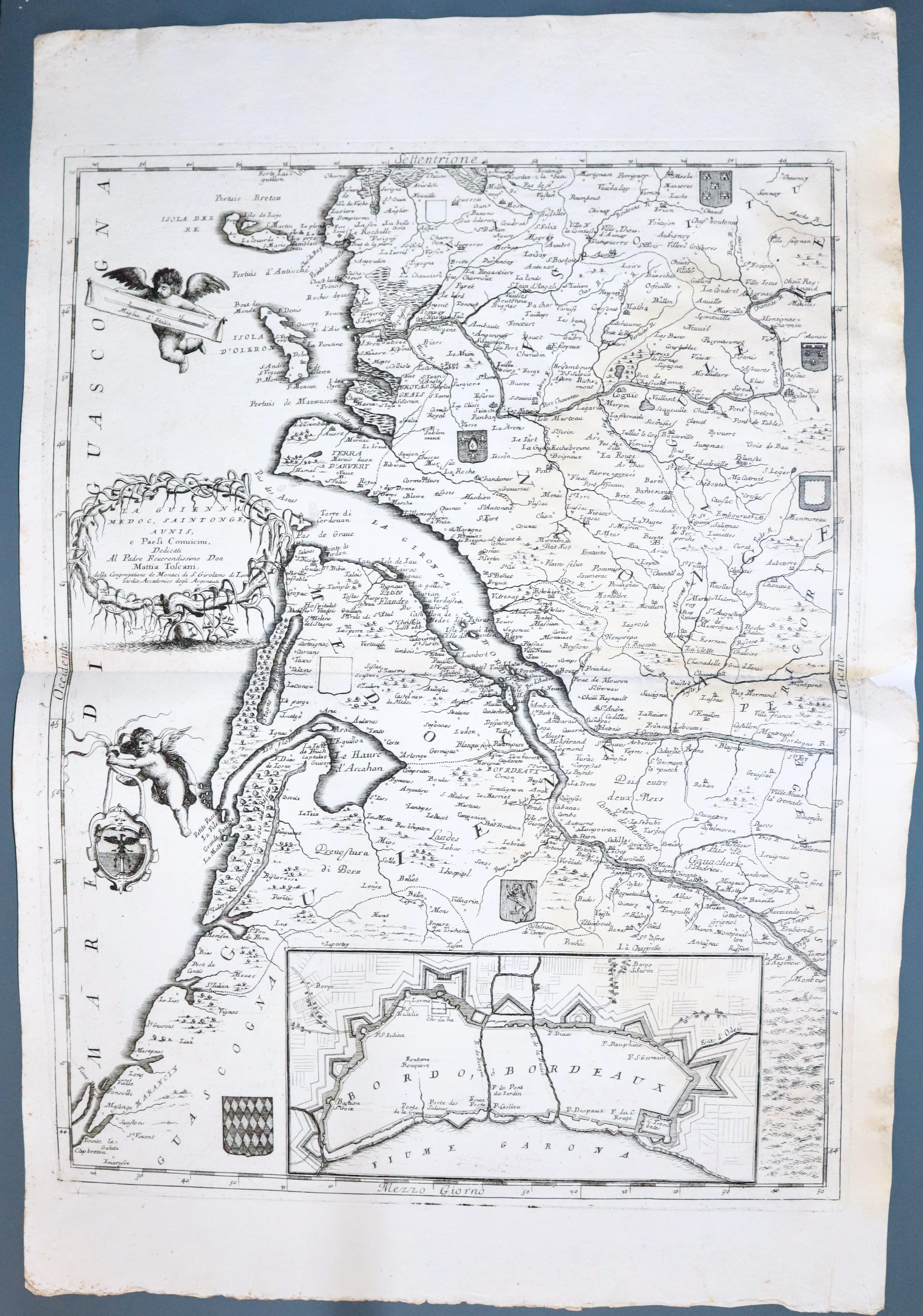
Guyenne, VincenzoMaria Coronelli c.1696
33372 Guyenne, Vincenzo Maria Coronelli, c.1696. Price: 220.00
La Guienna, Medoc, Saintonge, Aunis e paesi convicini
An impressive engraved map of Guyenne embellished with an inset plan of Bordeaux. Published in Venice. The dedication to Mattia Toscani is shown within a tangled tree. In the sea area one putti holds the scale whilst another putti holds a ribbon from which is coat of arms is suspended. Six other coats of arms appear on the map area with a single blank shield. 17 1/2 x 23 1/2 inches. Uncoloured. Repair at the right hand end of the centre fold in the blank margin. Two small binding holes in the centre fold. A little soiling in the right hand blank margin. Otherwise the paper is thick and sturdy with no foxing.
