Antique Maps of Scandinavia
Richard Nicholson of Chester
A World of Antique Maps and Prints
Established in 1961
All the Maps on this page are guaranteed to be genuine early specimens
pubished in or around the year stated
19th Century - Early Hand Colouring
-

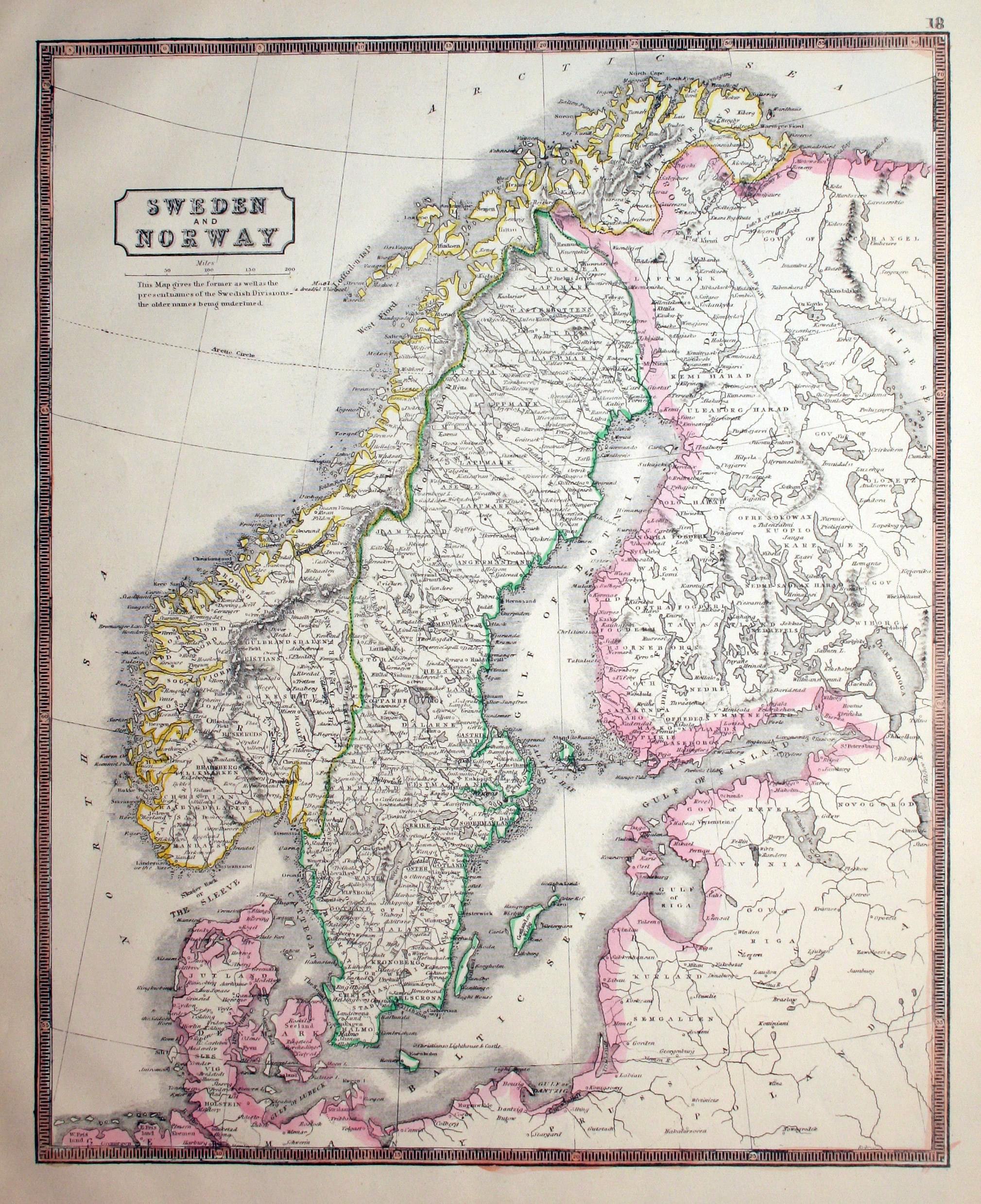
Scandinavia, John Lothian, 1852
16127 Scandinavia, John Lothian, 1852. Price: 24.00
SWEDEN AND NORWAY
A lithograph map of the country with original outline hand colouring. 11 x 13 3/4 inches. Good condition.
From: New Edinburgh General Atlas
19th Century - Early Hand Colouring
-

Sweden and Norway, Alexander Findlay 1836
17377 Sweden and Norway, Alexander Findlay 1836. Price: 25.00
SWEDEN & NORWAY
Engraved map with two keys. Imprint of the publisher Thomas Kelly dated 1835. 7.5 x 9.5 inches. Original outline and wash colouring. Good condition.
From: Wright's Gazetteer
19th Century - Early Hand Colouring
-

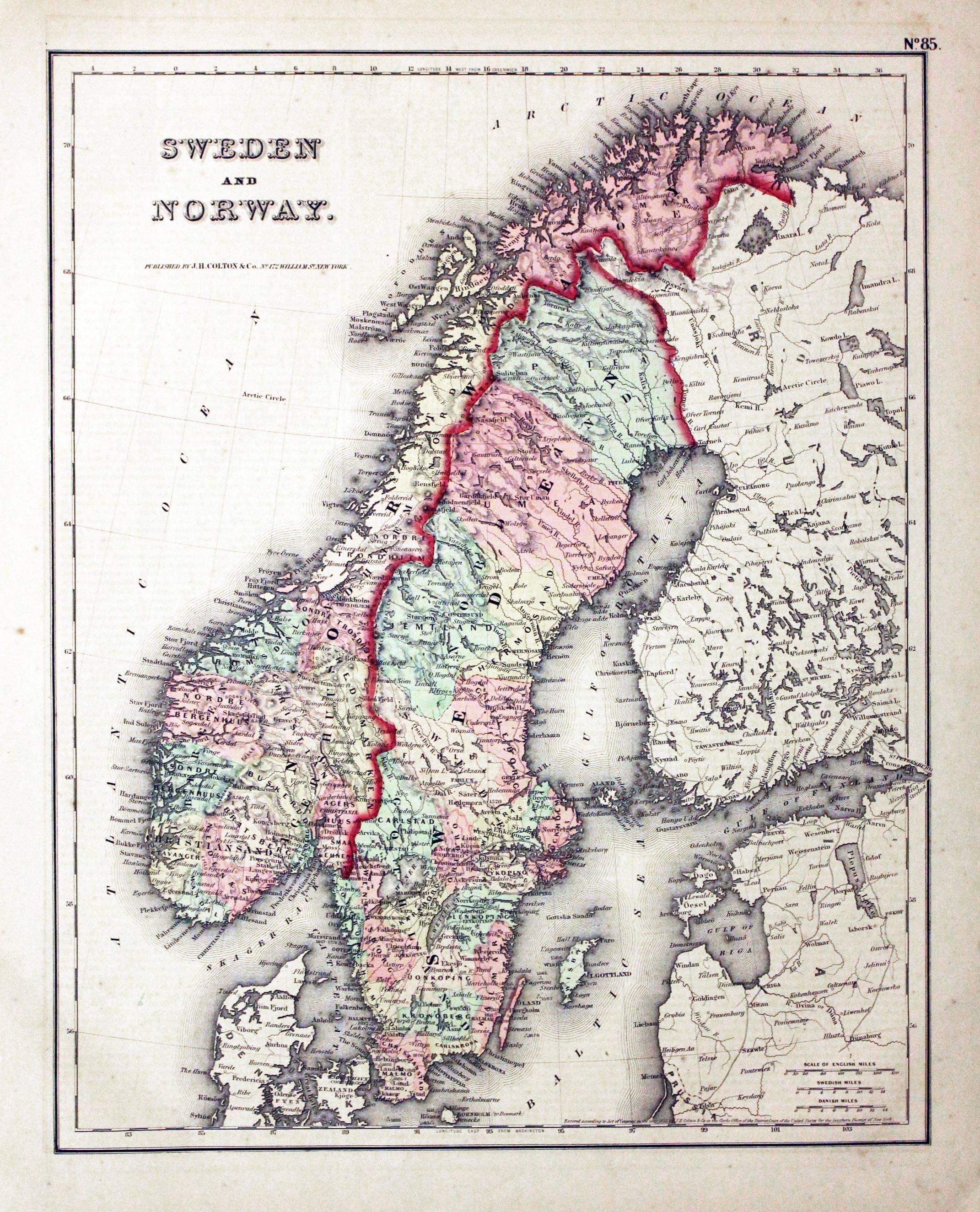
Sweden and Norway, George Hutchins Colton, 1864.
20080 Sweden and Norway, George Hutchins Colton, 1864. Price: 24.00
SWEDEN AND NORWAY
A detailed map of the two countries. 11 3/4 x 14 3/4 inches. Original wash colouring. Description of Norway in English on verso. Good condition.
19th Century - Early Hand Colouring
-
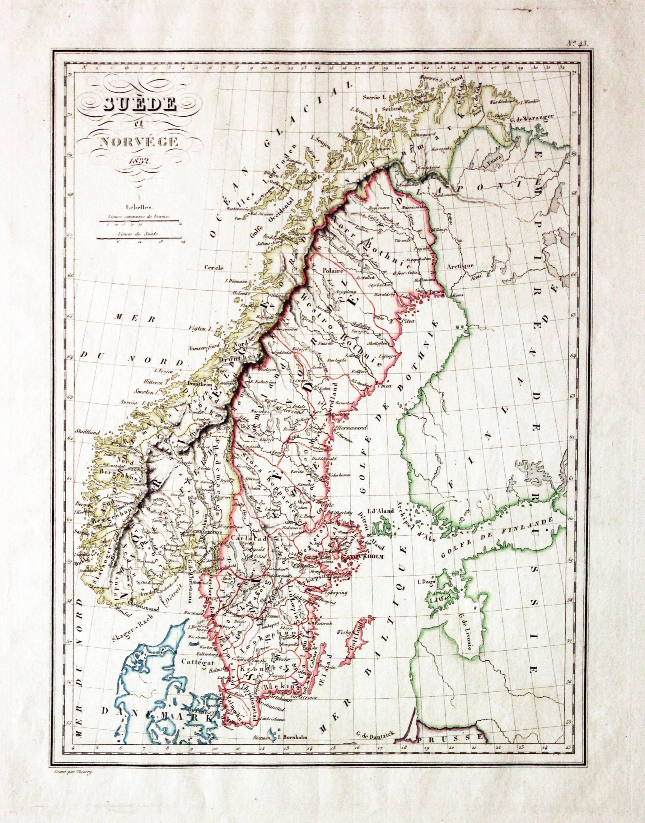
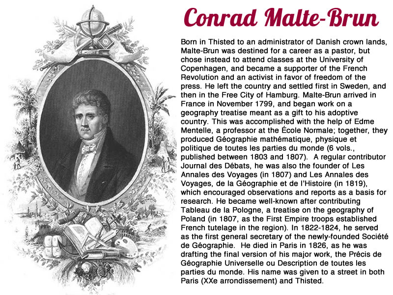
Sweden and Norway, Conrad Malte-Brun, 1837
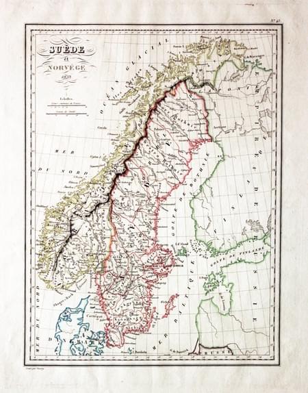
21953 Sweden and Norway, Conrad Malte-Brun, 1837. Price: 28.00
SUEDE ET NORVEGE 1832
An engraved map of Sweden and Norway with original hand colouring. 8 3/4 x 11 1/2 inches. Small single worm hole in the area of Sweden otherwise very nice clean undamaged condition.
From: Atlas Complet du Precis de la Geographie Universelle
19th Century - Early Hand Colouring
-

Scandinavia, John Thomson, 1827
23139 Scandinavia, John Thomson, 1827. Price: 75.00
SCANDINAVIA or SWEDEN, DENMARK & NORWAY
A detailed engraved map. Uncoloured title panel. 18 x 22 inches, 475 x 550 mm. Original outline and wash hand colouring. Small slit at one end of the centre fold otherwise a lovely clean fresh specimen of this map.
From: Thomson's New General Atlas
19th Century - Early Hand Colouring
-

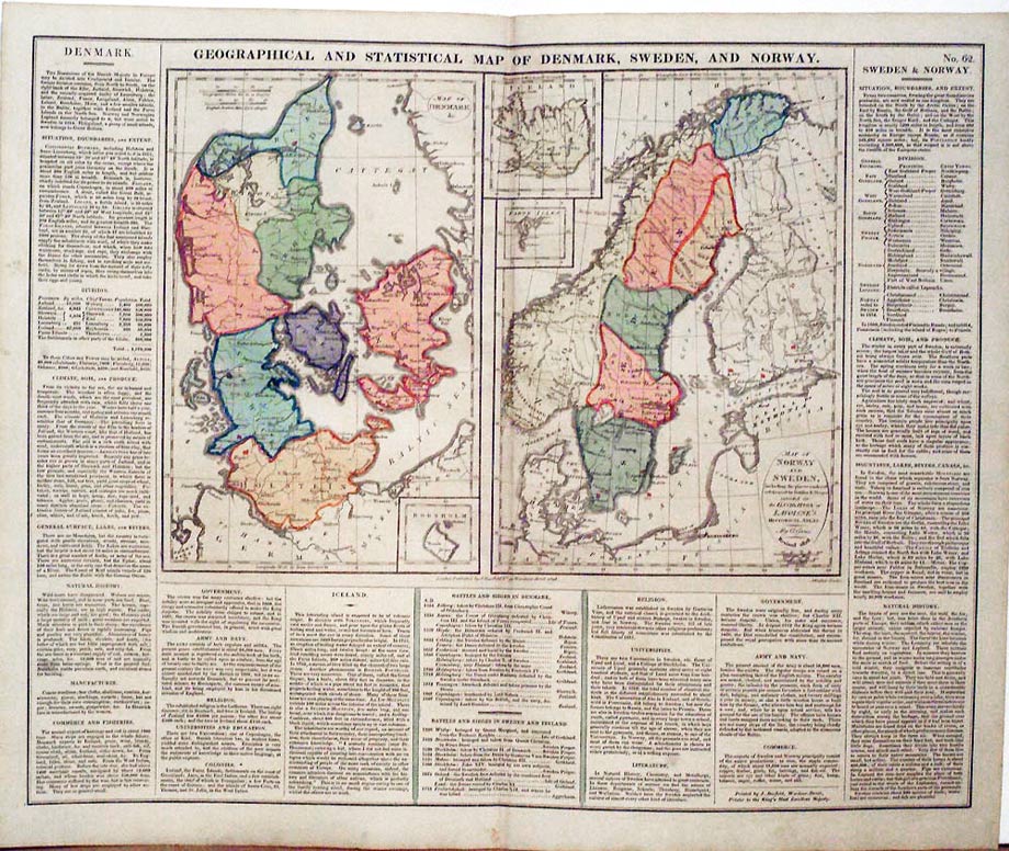
Scandinavia, C. V. Lavoisne, 1830
27558 Scandinavia, C. V. Lavoisne, 1830. Price: 26.00
GEOGRAPHICAL AND STATISTICAL MAP OF DENMARK, SWEDEN, AND NORWAY
Two engraved maps on a folio sheet. One of Denmark with an inset map of Bornholm and the other of Norway and Sweden with inset maps of Iceland and the Faroe Isles. Each map has an oval title panel. Panels of English text on three sides. 20 1/2 x 16 1/2. Original wash hand colouring. Two four inch tears extending into the text beneath the map otherwise good condition.
Special price
From: Lavoisne’s Complete Genealogical, Historical, Chronological, and Geographical Atlas. The fourth edition printed and published by J. Barfield in London
19th Century
-

Sweden, Norway and Finland, George H. Swanston, 1862
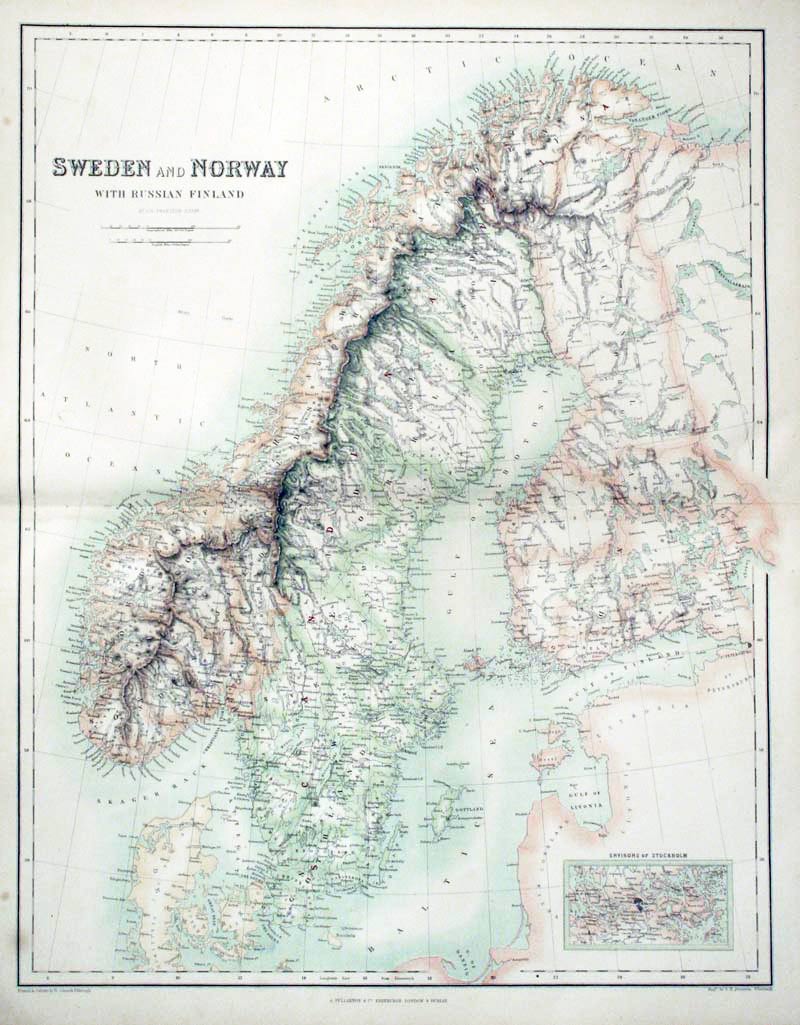
28575 Sweden, Norway and Finland, George H. Swanston, 1862. Price: 19.00
SWEDEN AND NORWAY WITH RUSSIAN FINLAND
A colour lithograph map with a small inset map of the Environs of Stockholm. 16 x 20 1/2 inches. Good condition.
From: The Royal Illustrated Atlas published by Archibald Fullarton and Company
19th Century - Early Hand Colouring
-

Sweden and Norway, Charles Smith, 1808
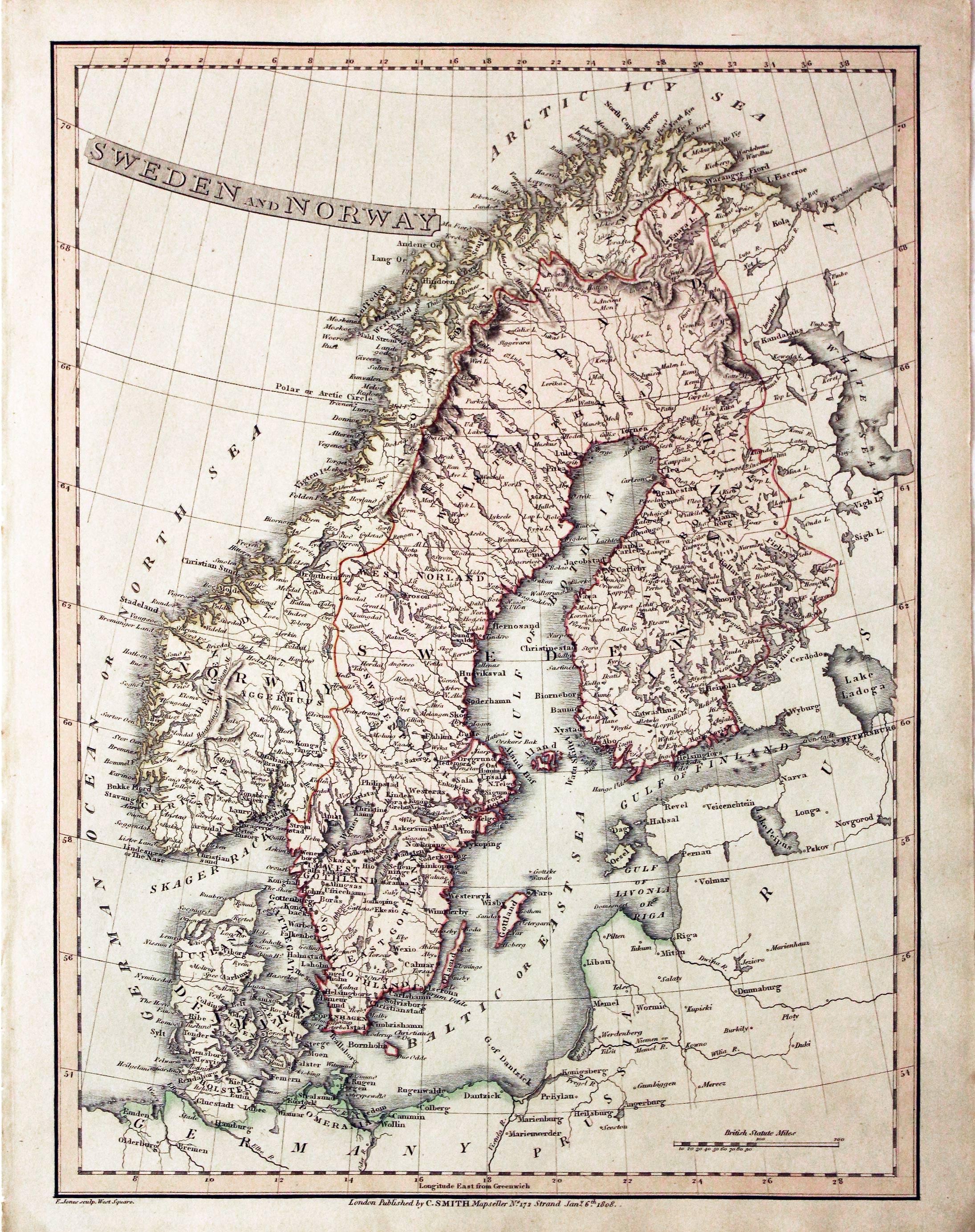
29512 Sweden and Norway, Charles Smith, 1808. Price: 44.00
SWEDEN AND NORWAY
A good map of Scandinavia engraved by E. Jones. Title panel. The imprint of the publisher Charles Smith appears beneath the map and is dated 1808. 10 1/2 x 13 3/4 inches. Original outline and wash hand colouring. Good clean condition. No tears or repairs.
Early 19th Century - Original Hand Colouring
-
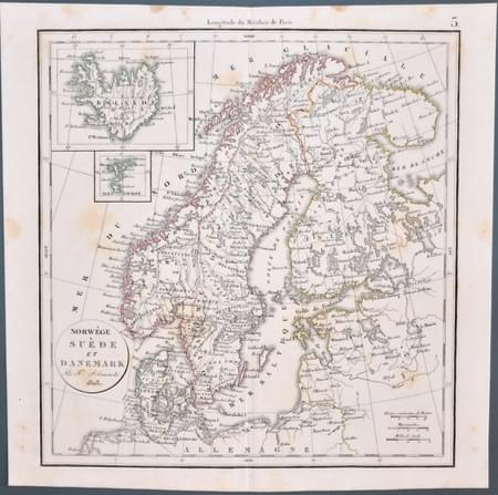
Felix Delarmarche 1828 map of Scandinavia & Iceland
33387 Scandinavia with Iceland, Felix Delamarche, 1828. Price: 30.00
NORWEGE SUEDE ET DANEMARK Par Fx Delamarche 1828
An engraved map of Norway, Sweden and Denmark with inset maps of Iceland and the Faroe Islands. The title is shown within an oval panel. 11 x 11 1/2 inches. Original centrefold. Original pink outline and colouring. Some light foxing in the blank margins otherwise good condition.

