RICHARD NICHOLSON of CHESTER
A WORLD OF ANTIQUE MAPS AND PRINTS
The Cartographer
PIETER VAN DEN KEERE
A early 17th century mapmaker who produced a series of small maps often referred to as Miniature Speed Maps
-
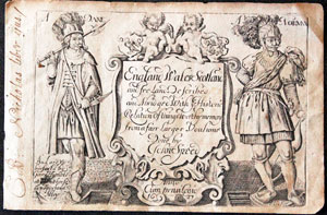
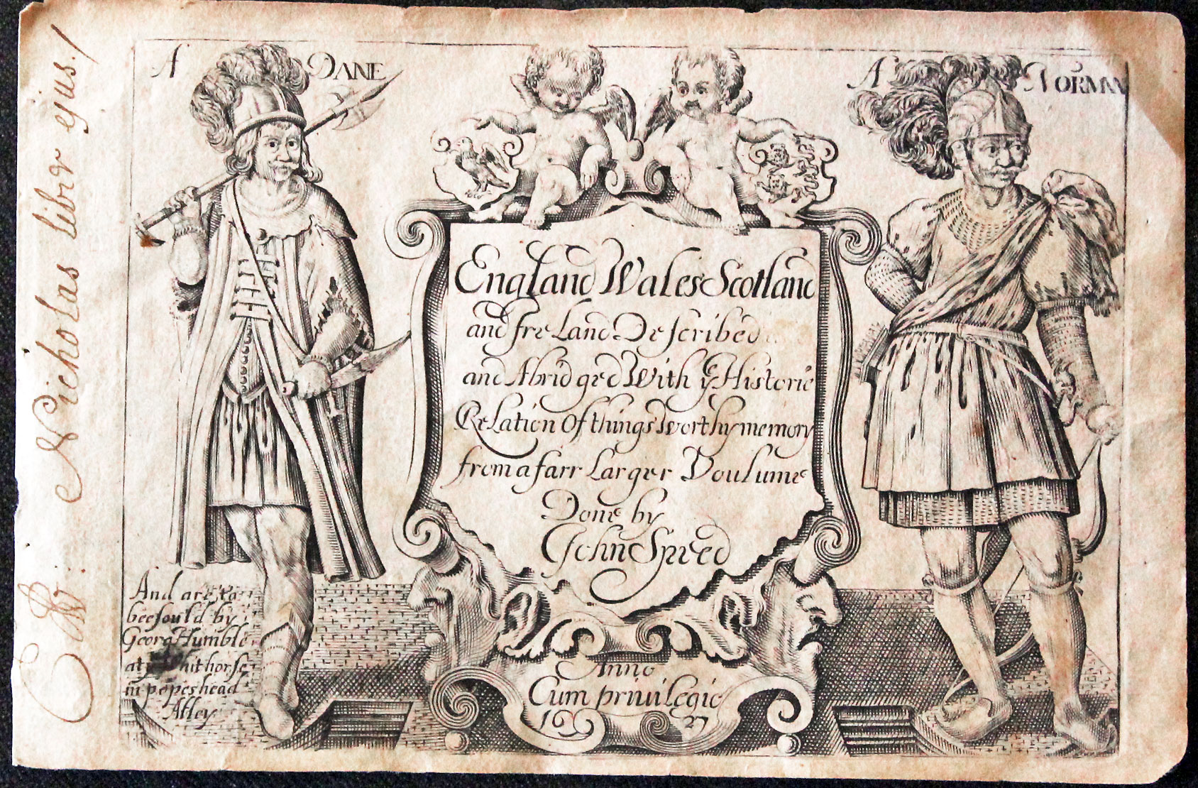
Frontispiece to Pieter van den Keere Atlas dated 1627
Atlas Frontispiece 1627
1593 onwards. Miniature county maps of England and Wales. Areas of Scotland and the Provinces of Ireland.
Pieter van den Keere was born in Ghent in the Netherlands in about 1571, the son of a type-founder. At the age of 13 he came to England as a Protestant refugee with his sister Colette. Three years later Colette married Jodocus Hondius and it was with guidance from him that Pieter probably acquired his skill as an engraver. The three of them left England in 1593 to settle in Amsterdam
In 1599 Pieter started working on the engraving of a series of miniature county maps for a British Isles Atlas. They appeared in an atlas published by Willem Blaeu in 1617. Guileemi Camdeni Britannia in epitomes contracta
The plates were later acquired by the London publisher George Humble. He together with John Sudbury were the publishers of John Speeds Theatre of the Empire of Great Britaine. Humble's outstanding success with this folio atlas prompted him to publish Keere's maps in a new form. Out went the Latin titles and in came English titles. Further maps were produced so there was one of each county. The title page to the atlas says from a "farr Larger Voulome Done by John Speed". The maps are therefore often referred to as 'Miniature Speeds'. The only relation to the Speed maps is that the text used in the Speed atlas was also used in the Keere atlas. The two works were also in the hands of the same publishers and the publishing of a new edition of Speed's Theatre usually coincided with a new edition of the miniature atlas.
An interesting addition to a county map collection. Still reasonable in price for their age thanks to their popularity and number of editions.
Editions:
Guileemi Camdeni Britannia in epitomes contracta. Amsterdam. Willem J. Blaeu 1617
England, Wales and Ireland. London, George Humble, 1619
England, Wales Scotland and Ireland described. London, George Humble, 1627, 1632; William Humble, 1646; Roger Rea, 1662, 1665, 1666, 1668; Thomas Basset and Richard Chiswell, 1676
British Isles Map Gallery
-

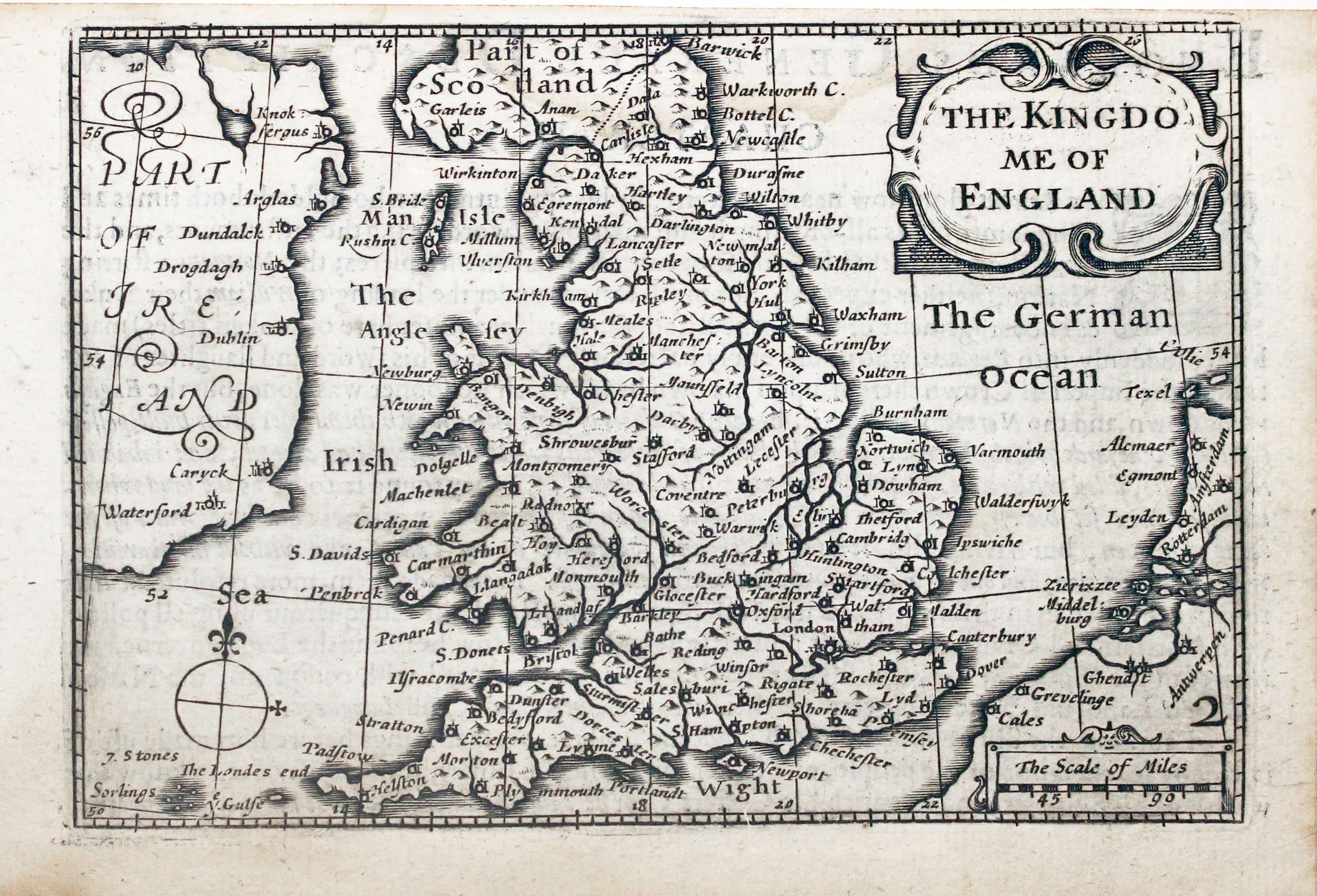
Map of England and Wales by Pieter van den Keere c.1627
-

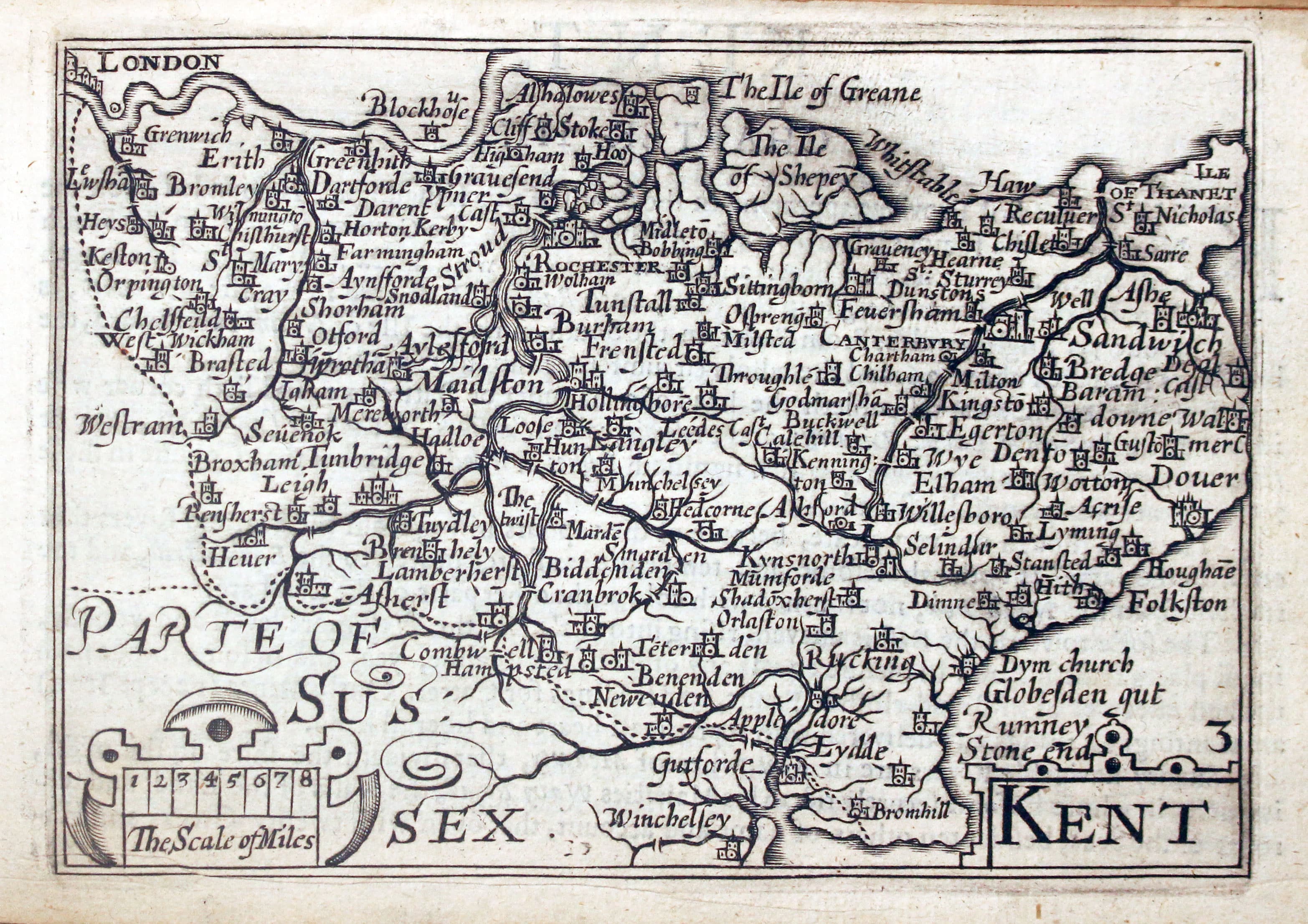
Map of Kent by Pieter van den Keere 1627
-
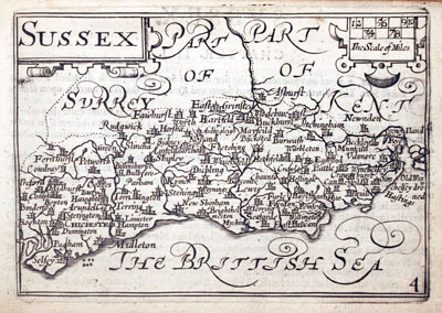
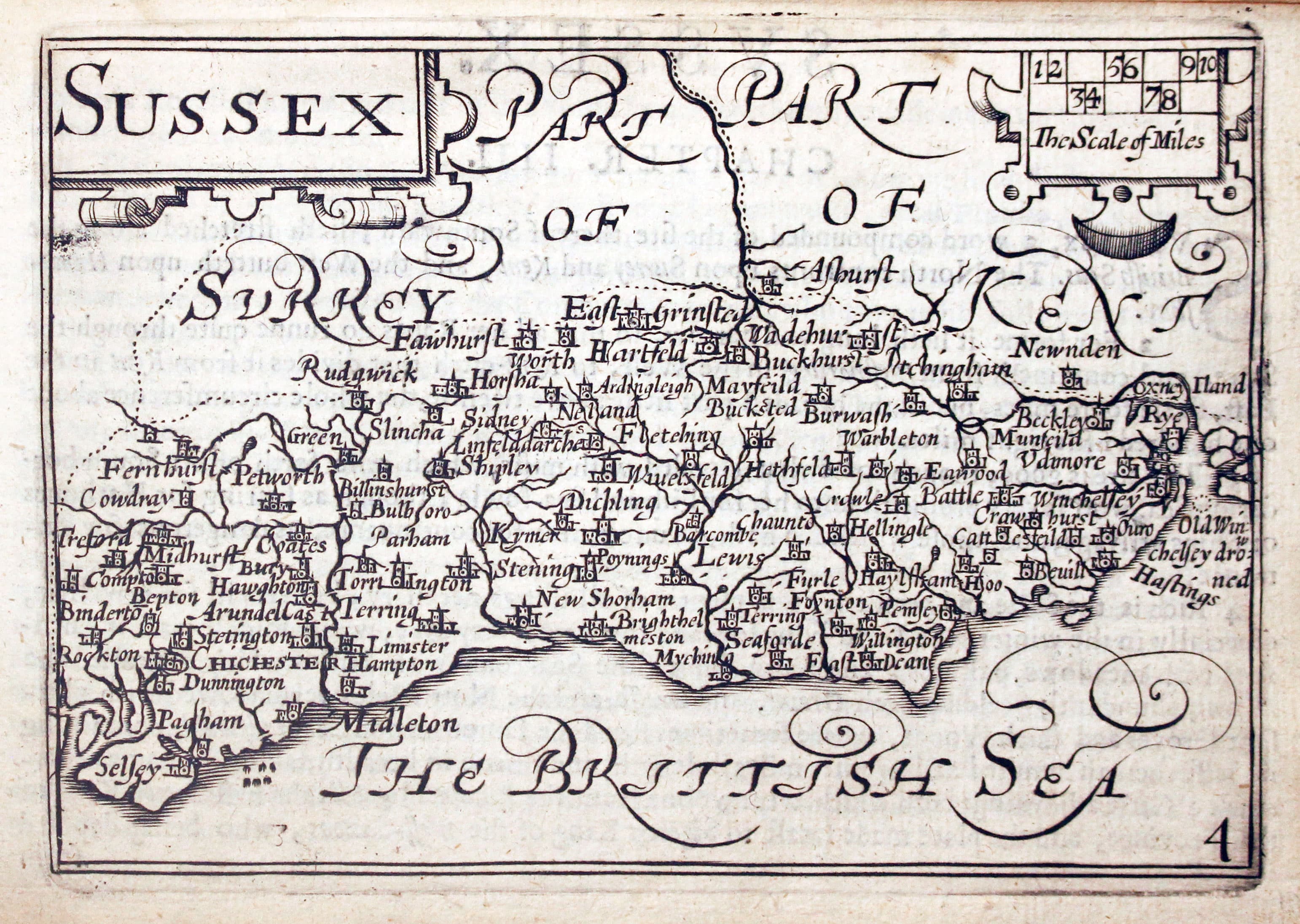
Map of Sussex by Pieter van den Keere 1627
-
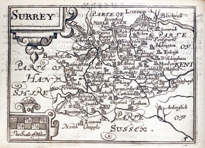
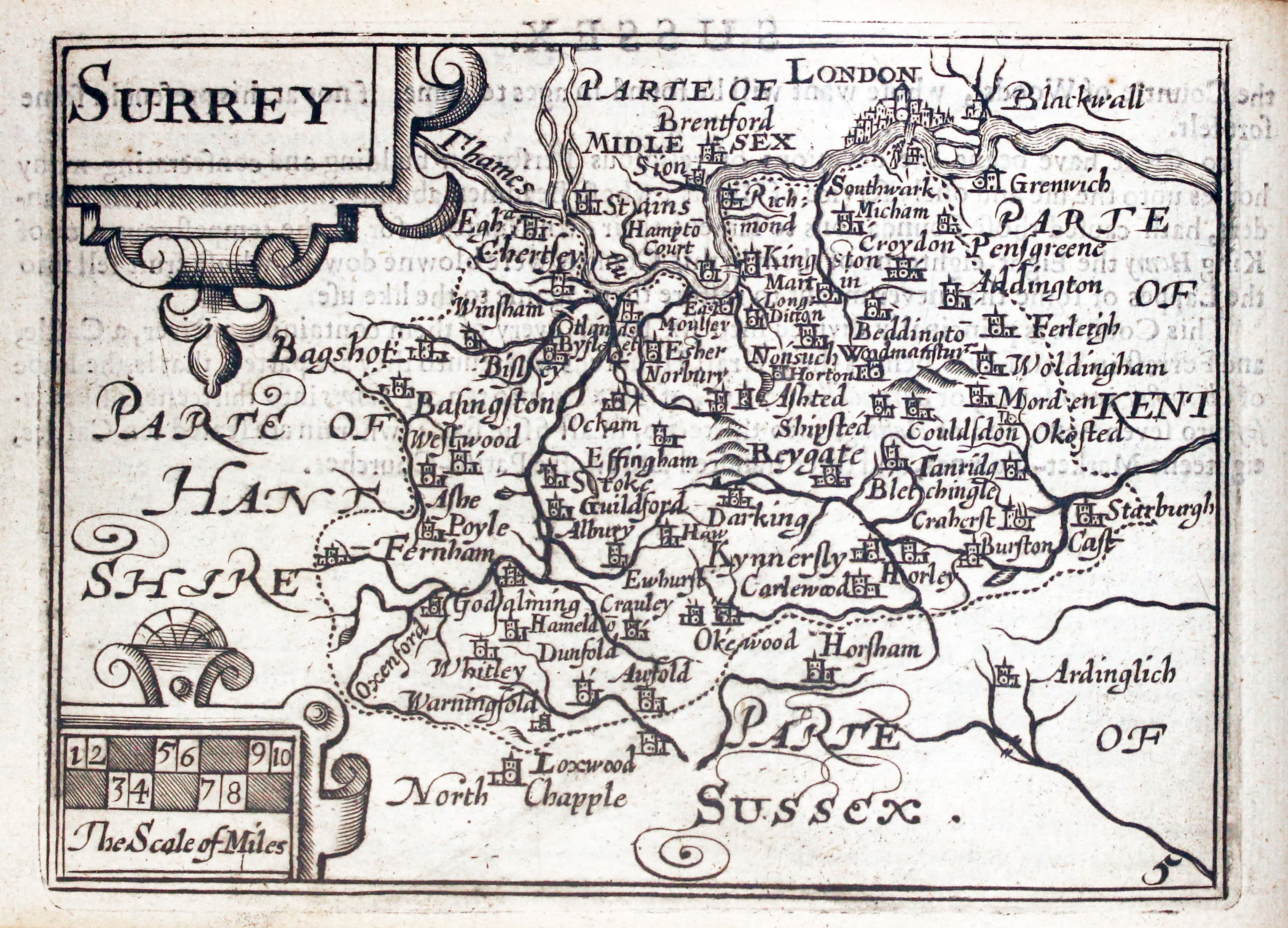
Map of Surrey by Pieter van den Keere 1627
-

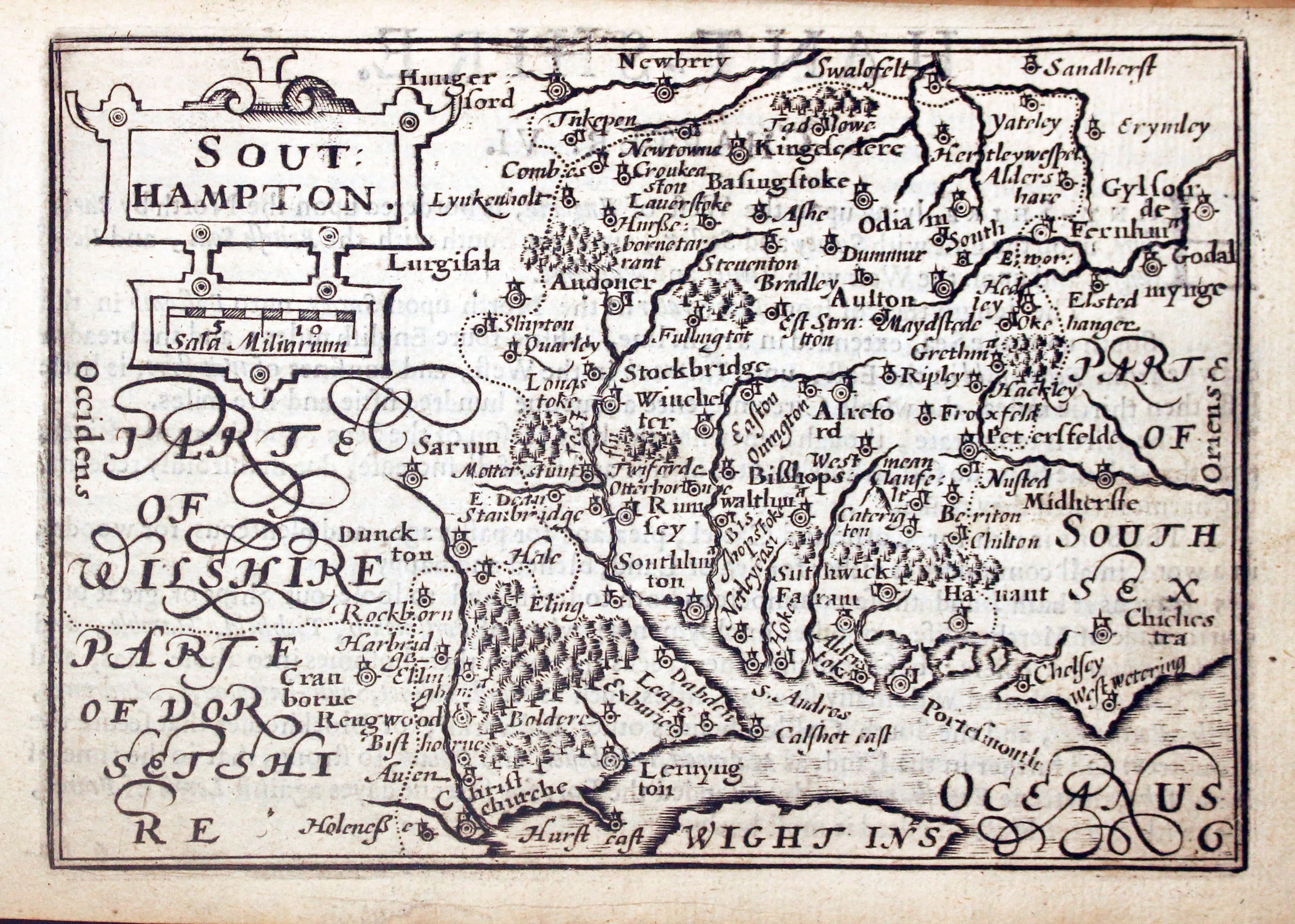
Map of Hampshire by Pieter van den Keere 1627
-
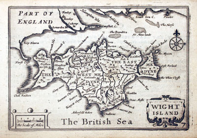
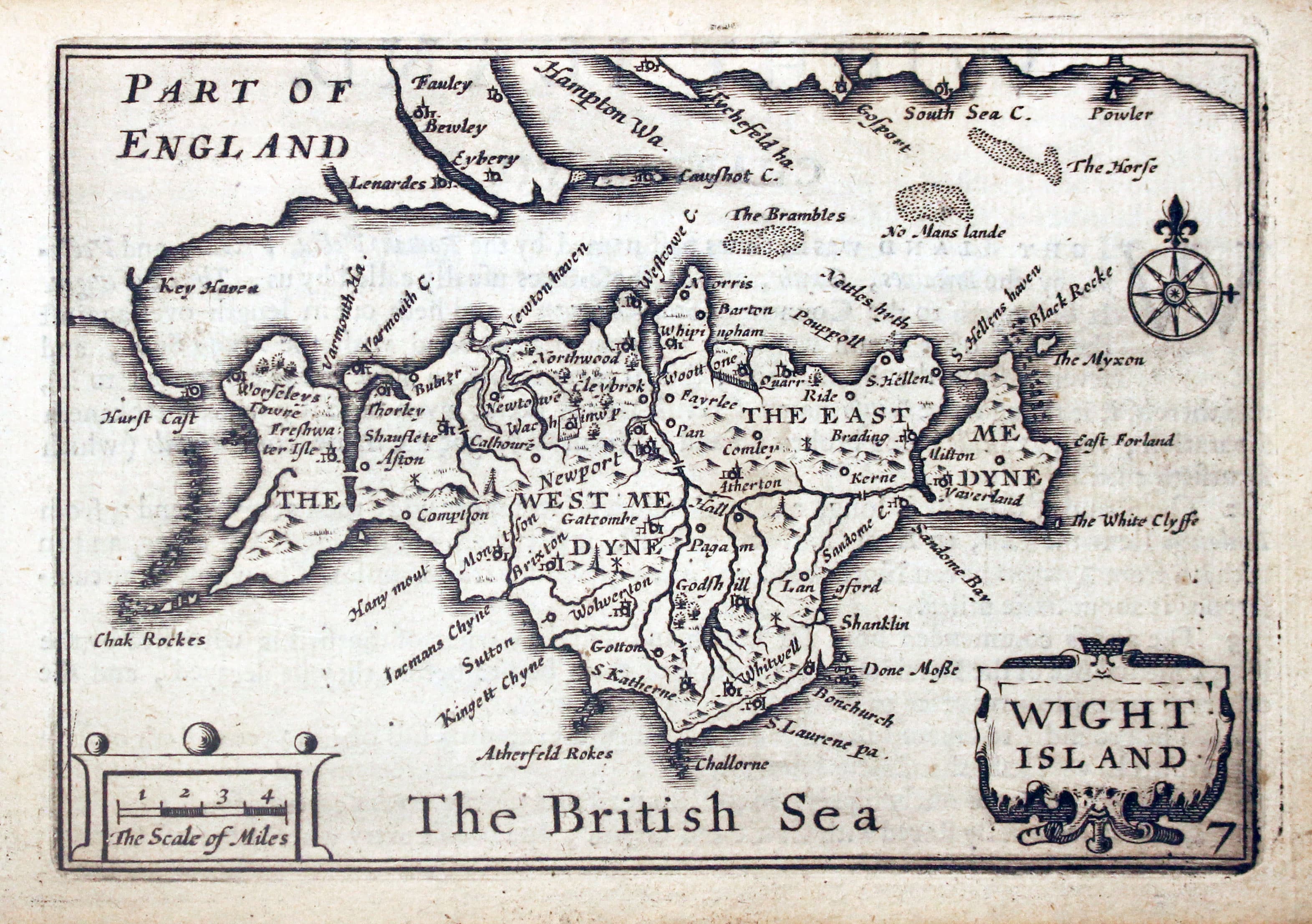
Map of The Isle of Wight by Pieter van den Keere 1627
-
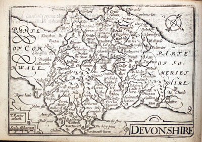
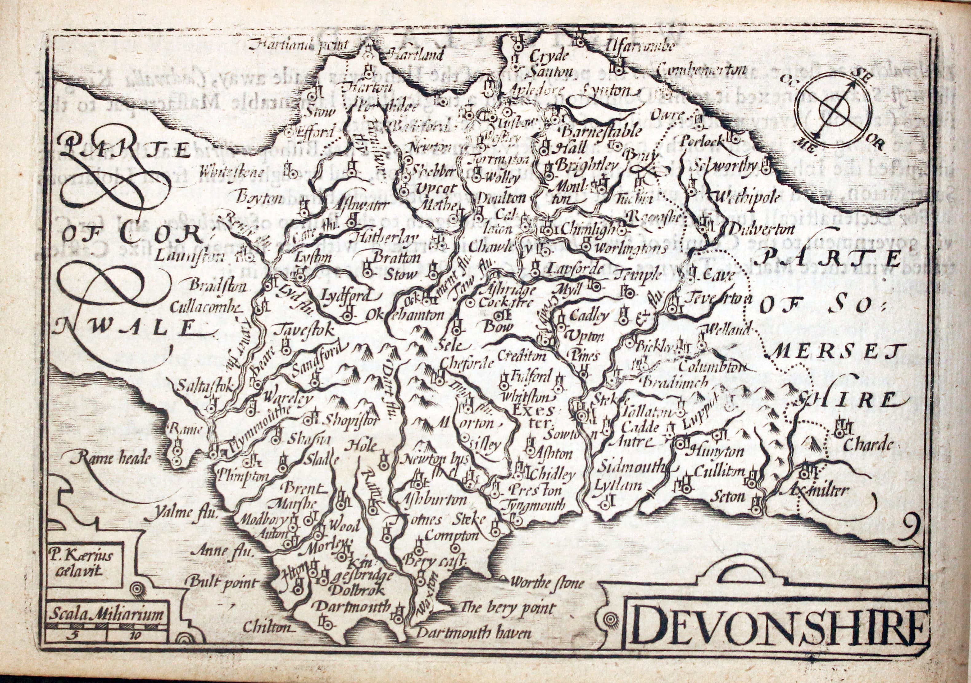
Map of Devonshire by Pieter van den Keere 1627
-

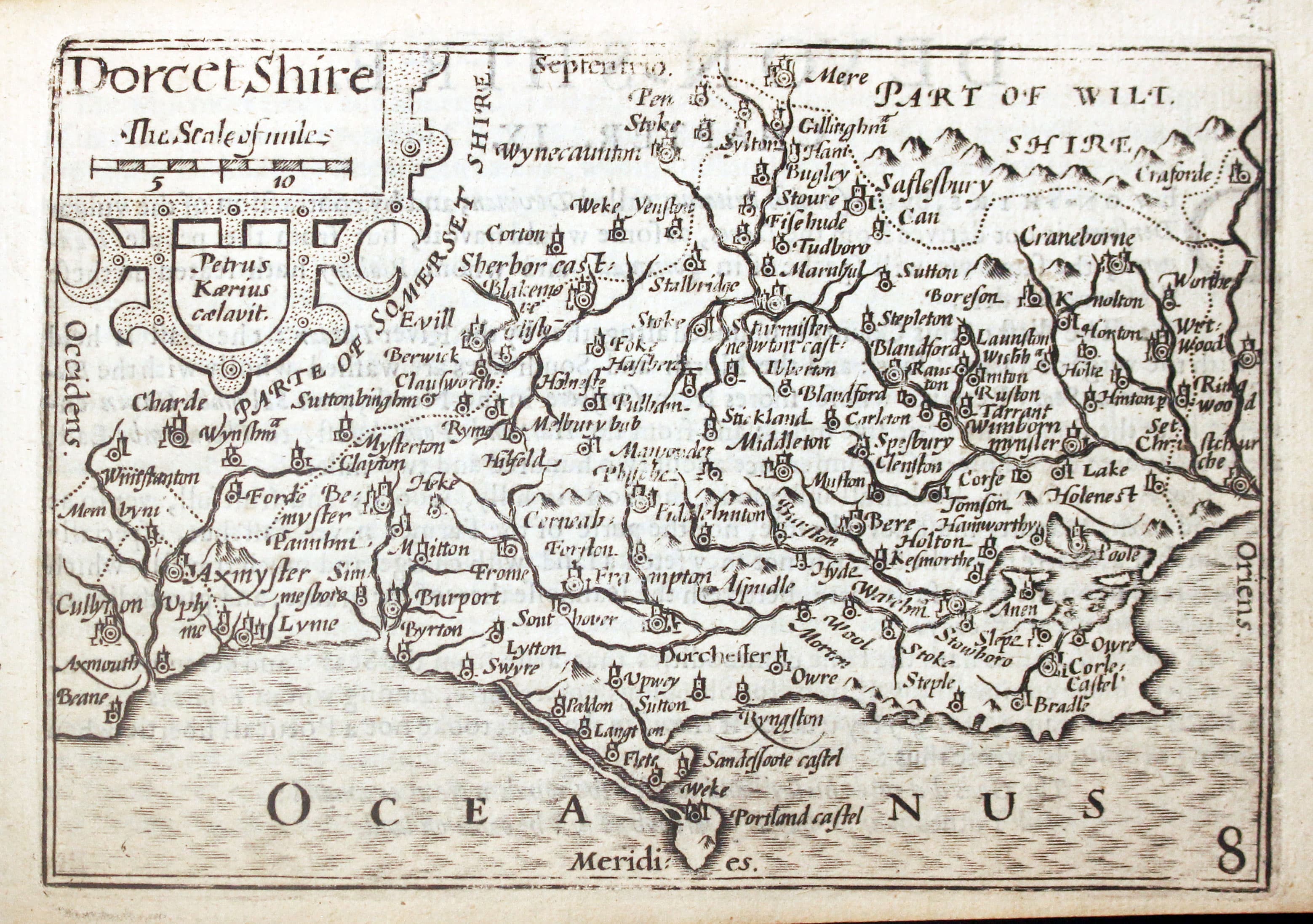
Map of Dorsetshire by Pieter van den Keere 1627
-
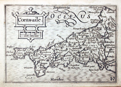
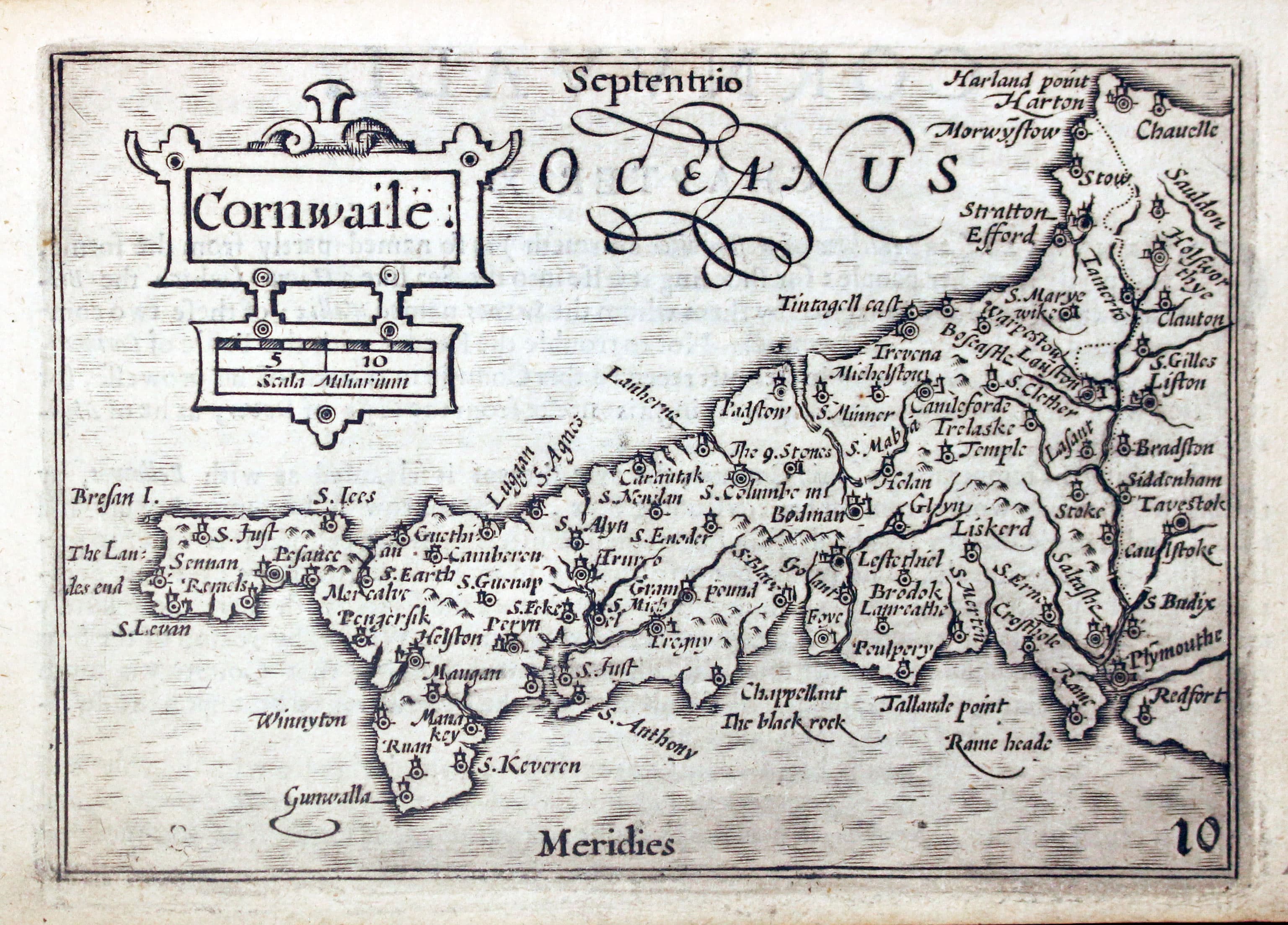
Map of Cornwall by Pieter van den Keere 1627
-
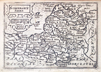
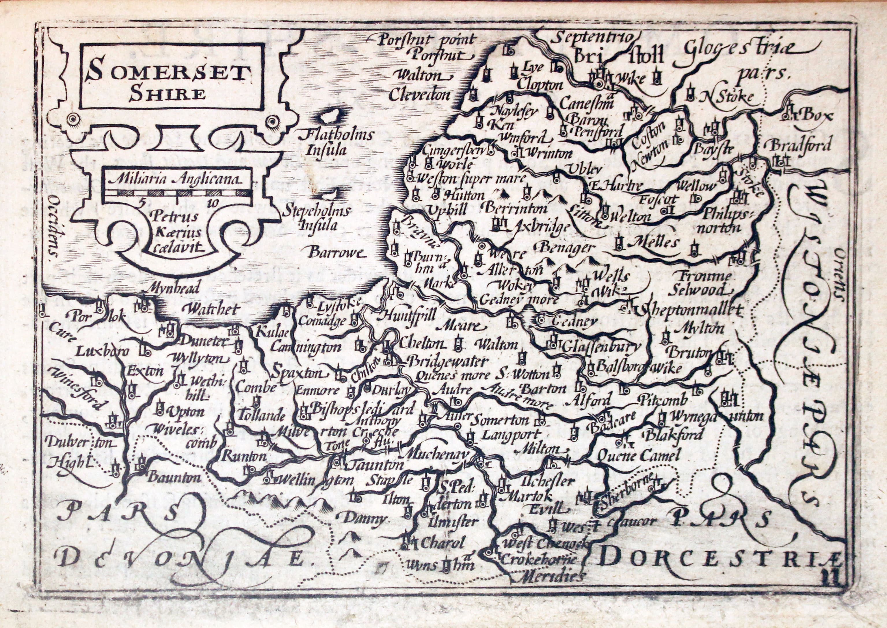
Map of Somersetshire by Pieter van den Keere 1627
-

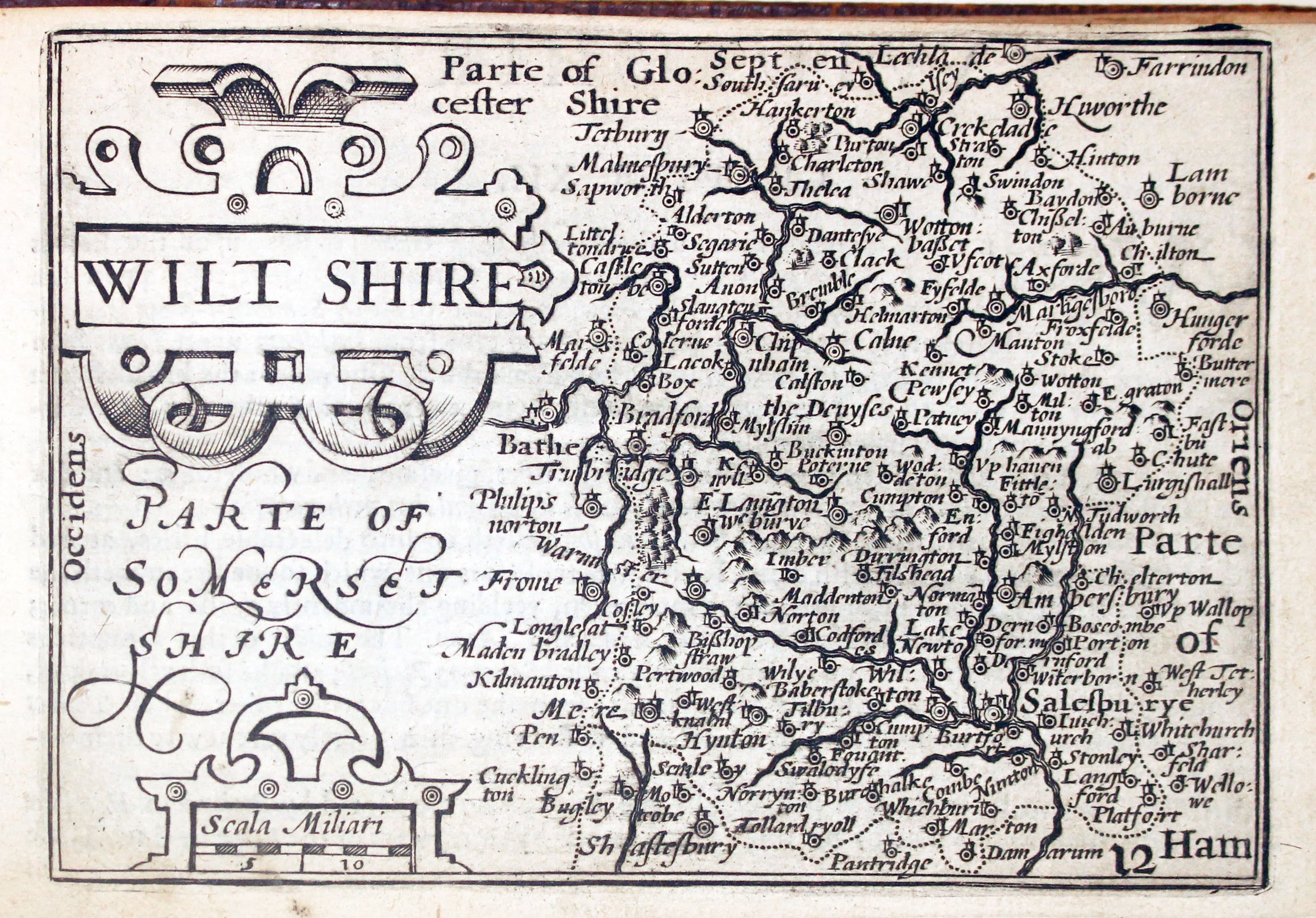
Map of Wiltshire by Pieter van den Keere 1627
-

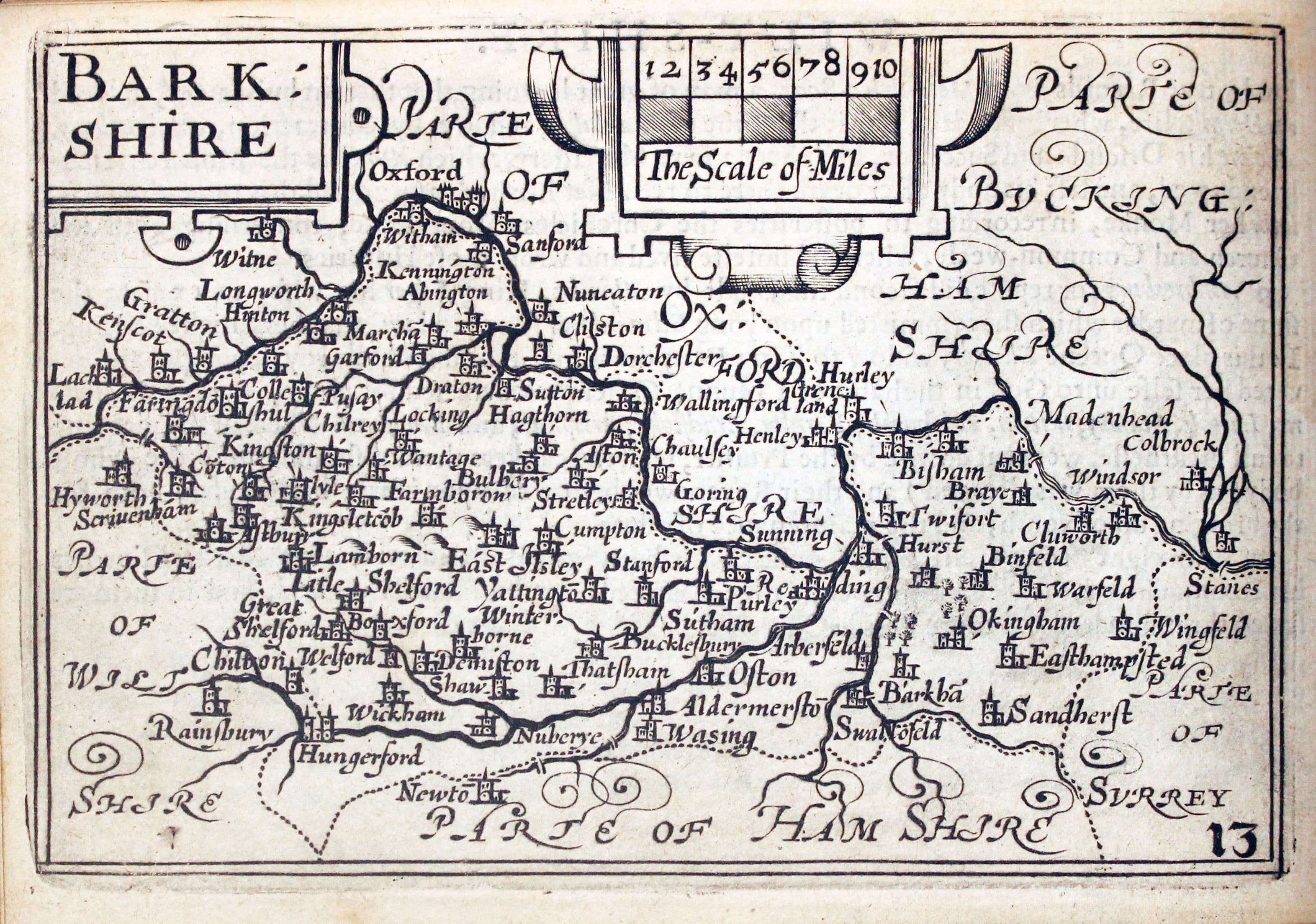
Map of Berkshire by Pieter van den Keere 1627
-

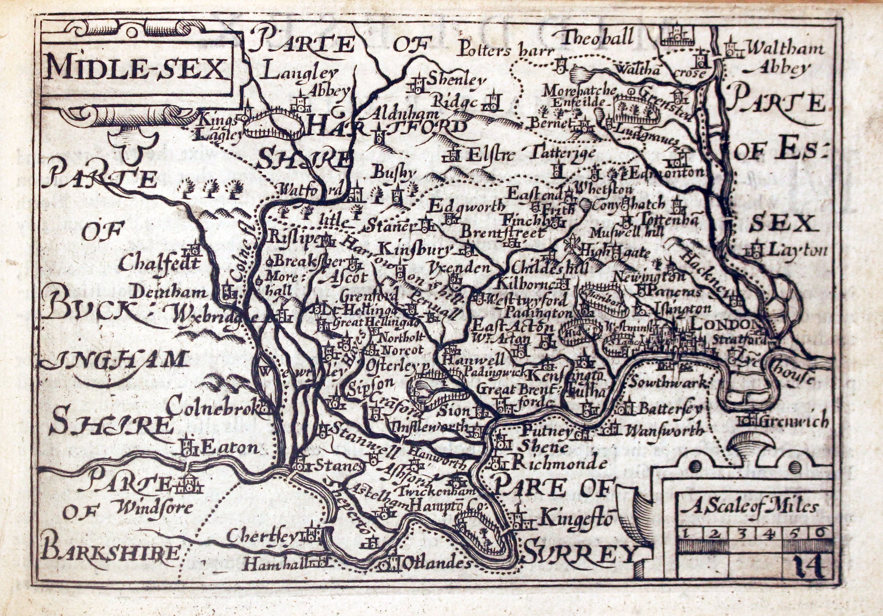
Map of Middlesex by Pieter van den Keere 1627
-

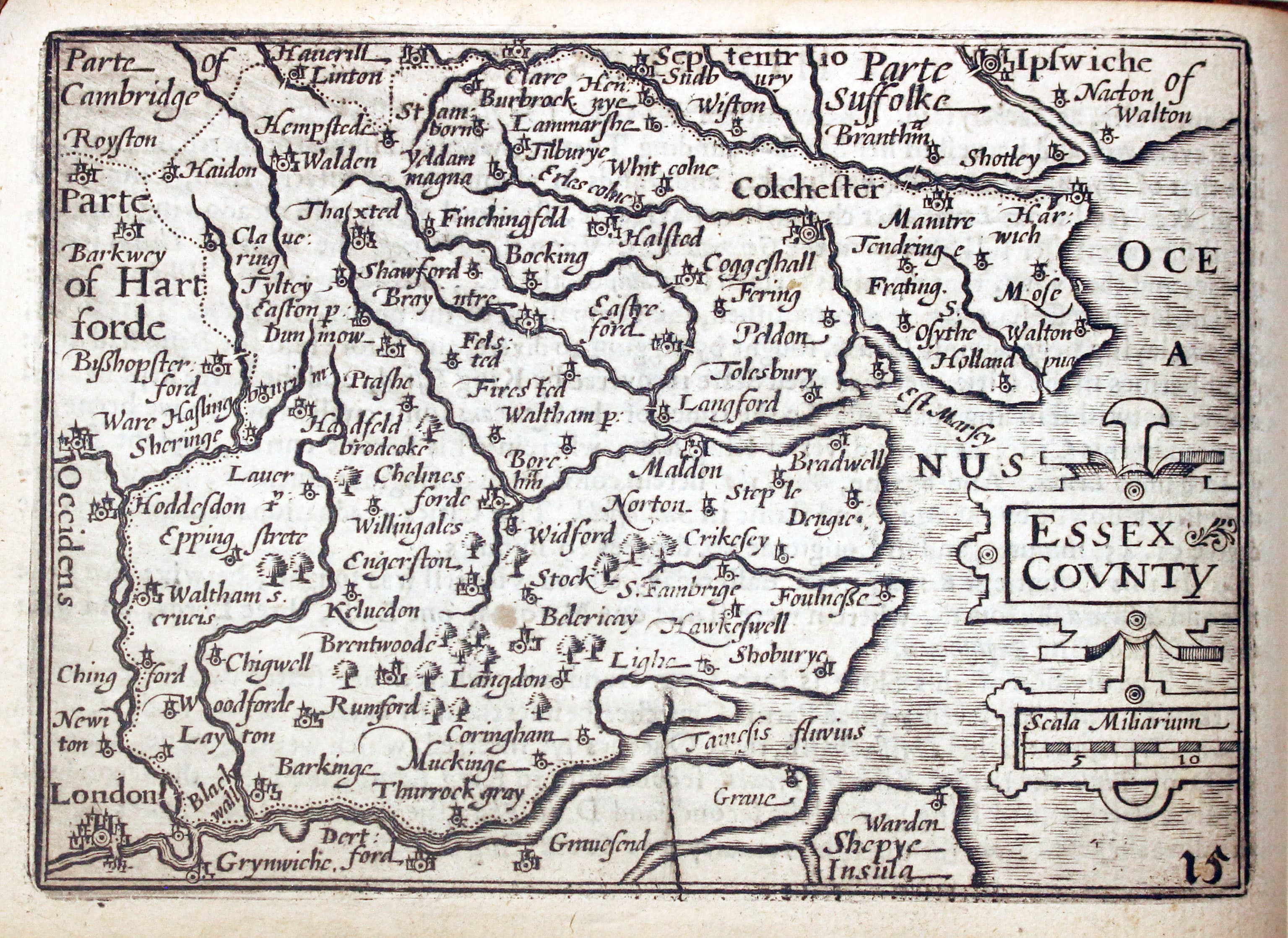
Map of Essex by Pieter van den Keere 1627
-

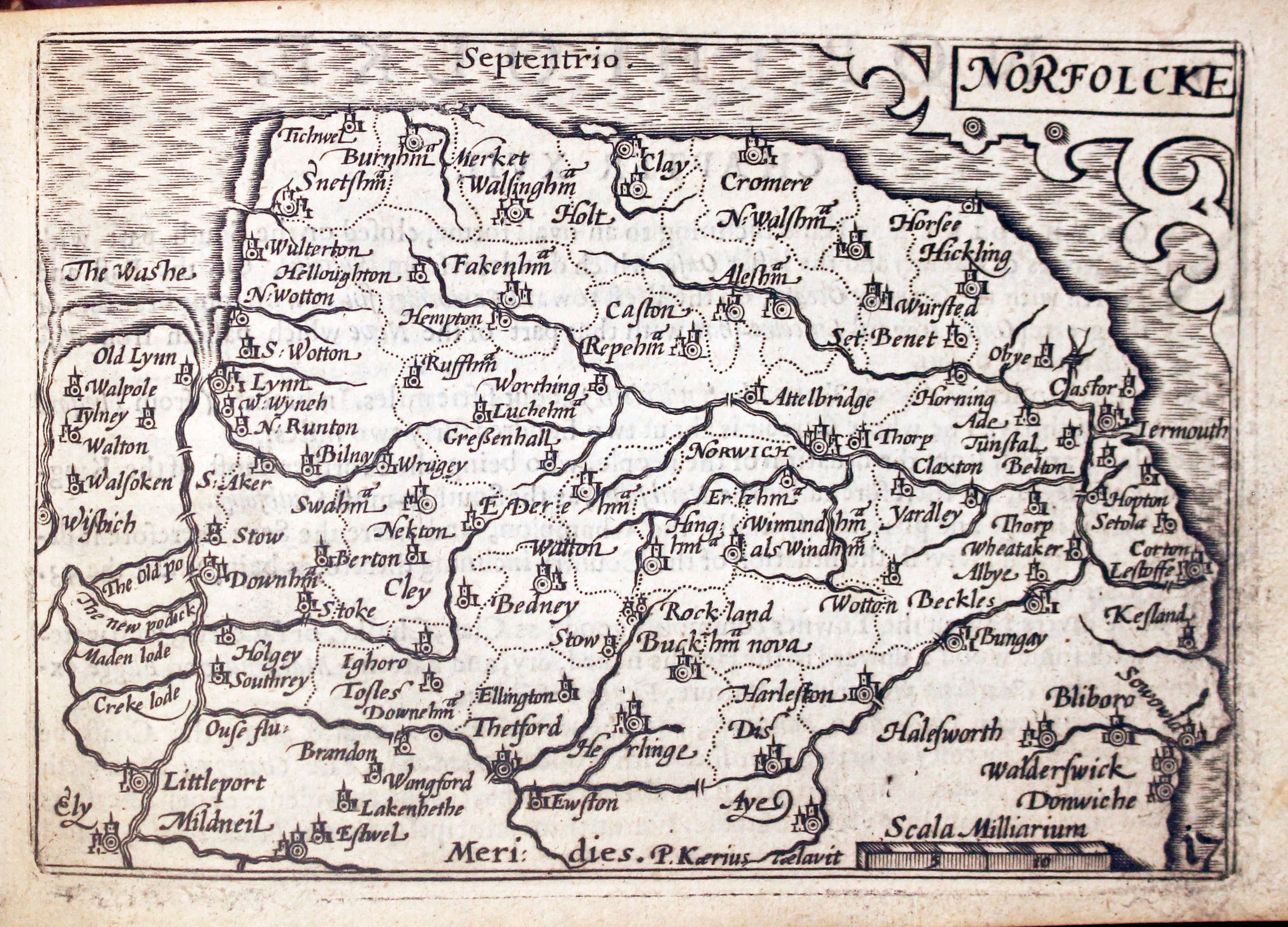
Map of Norfolk by Pieter van den Keere 1627
-
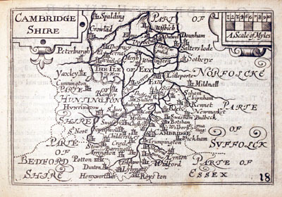
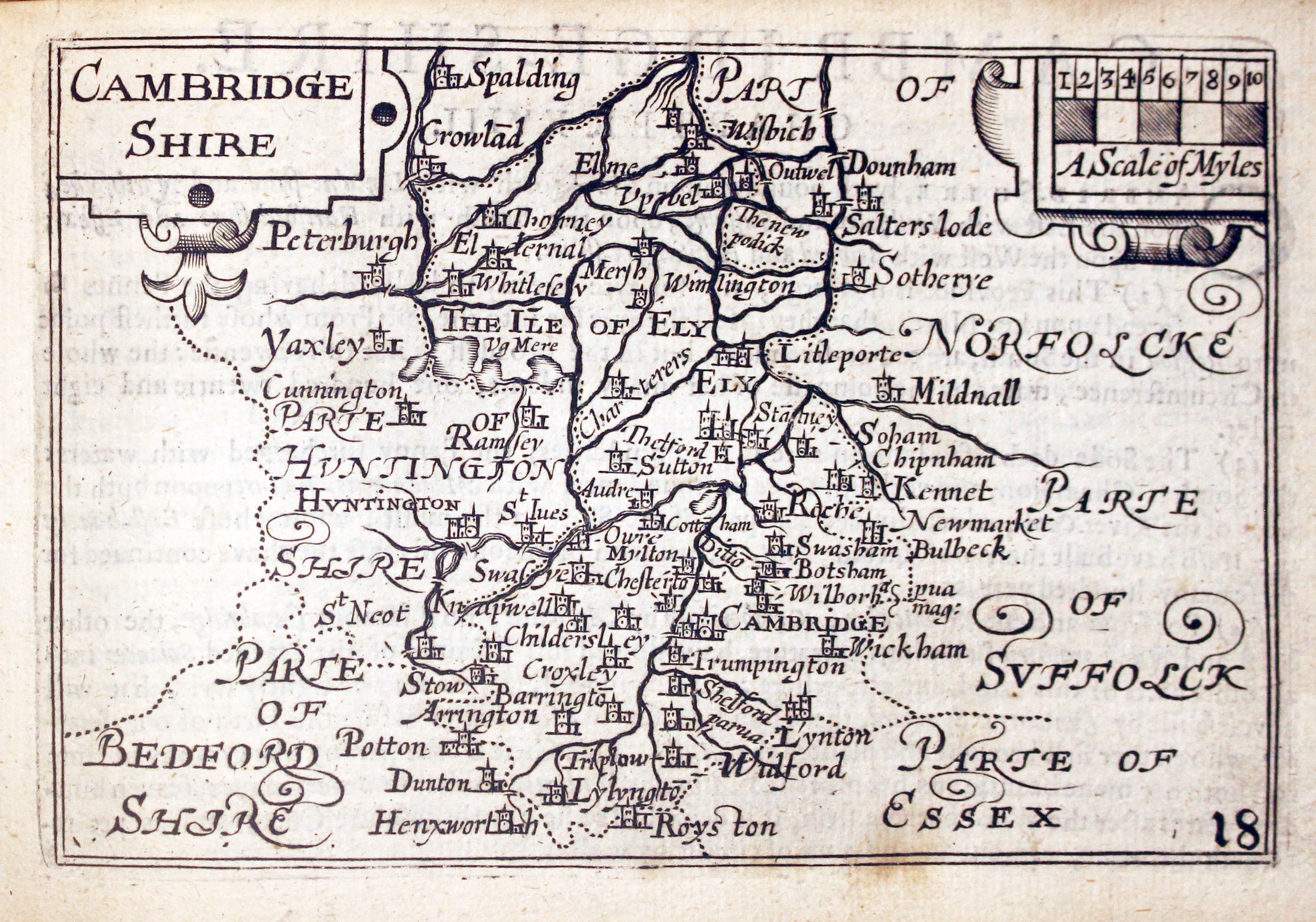
Map of Cambridgeshire by Pieter van den Keere 1627
-

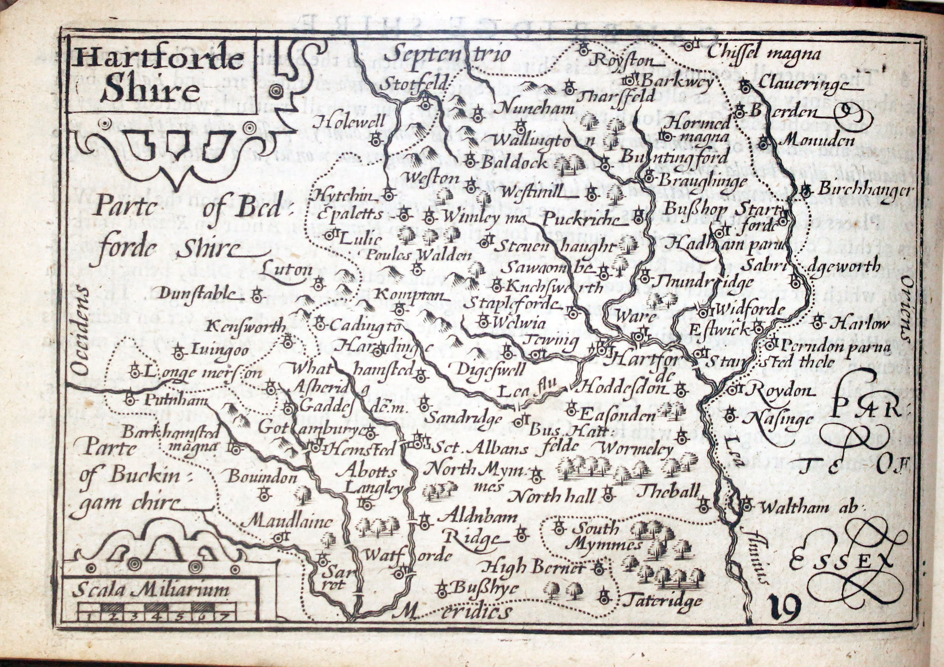
Map of Hertfordshire by Pieter van den Keere 1627
-

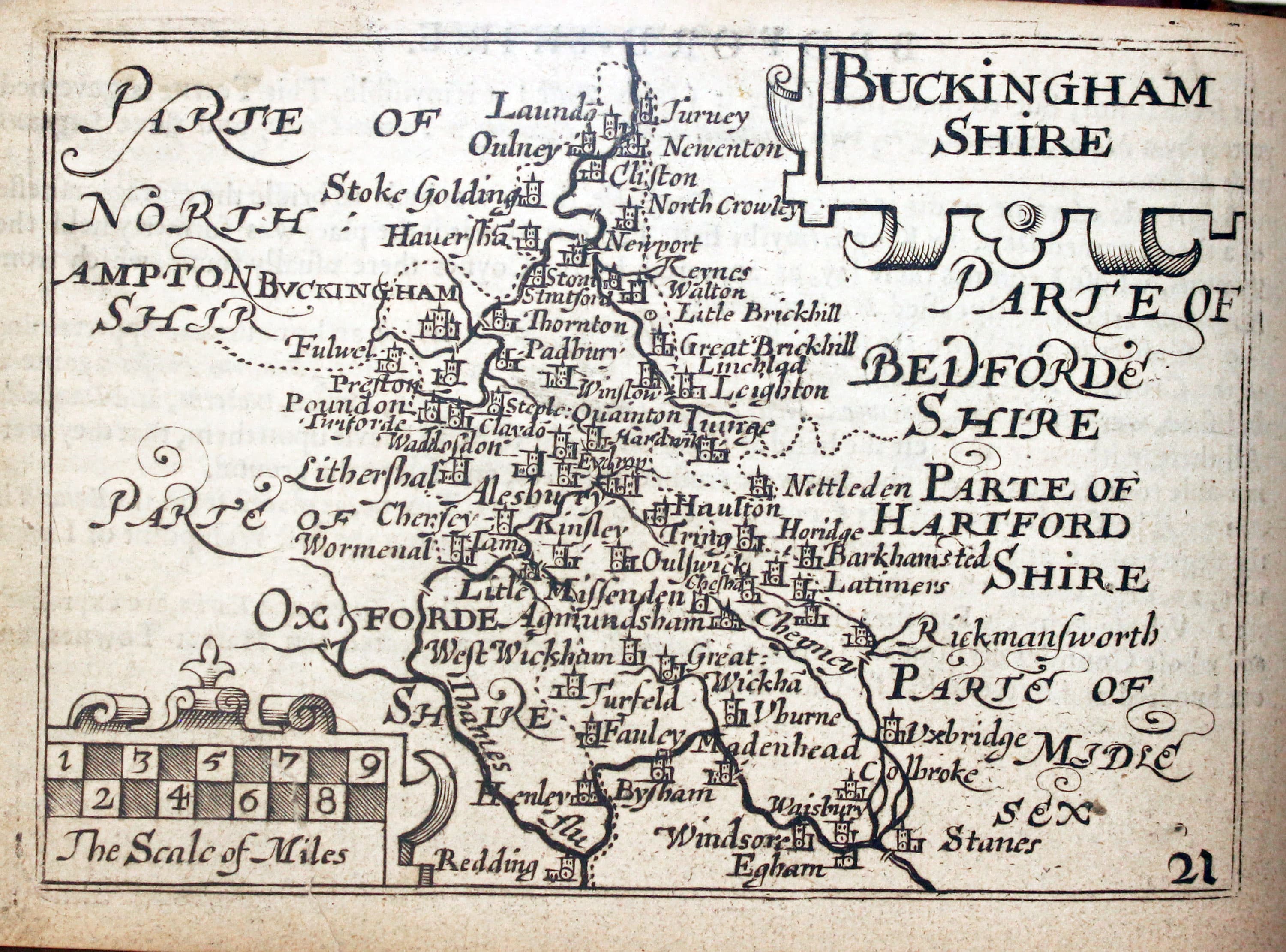
Map of Buckinghamshire by Pieter van den Keere 1627
-
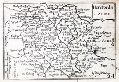
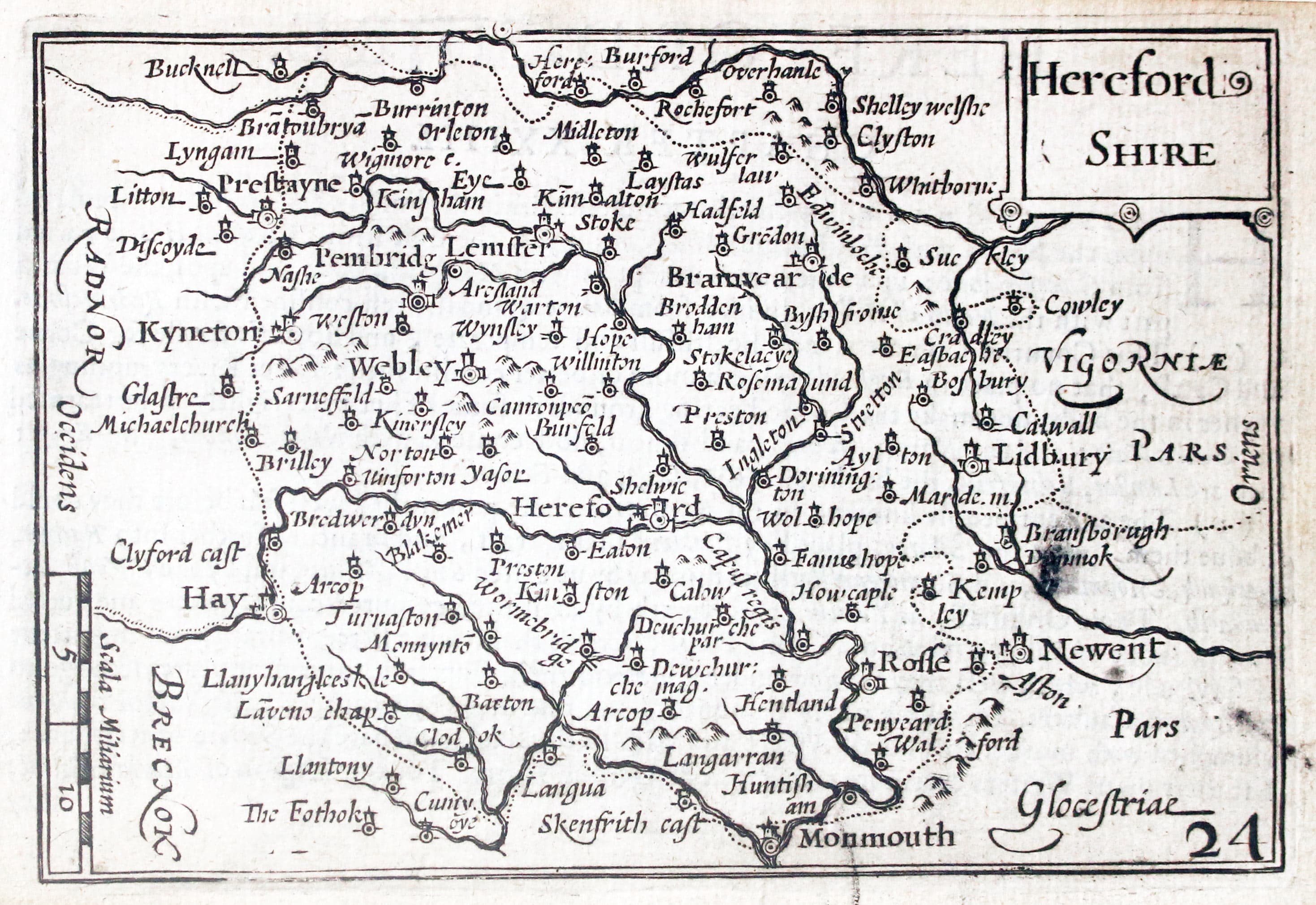
Map of Herefordshire by Pieter van den Keere 1627
-
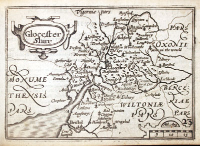
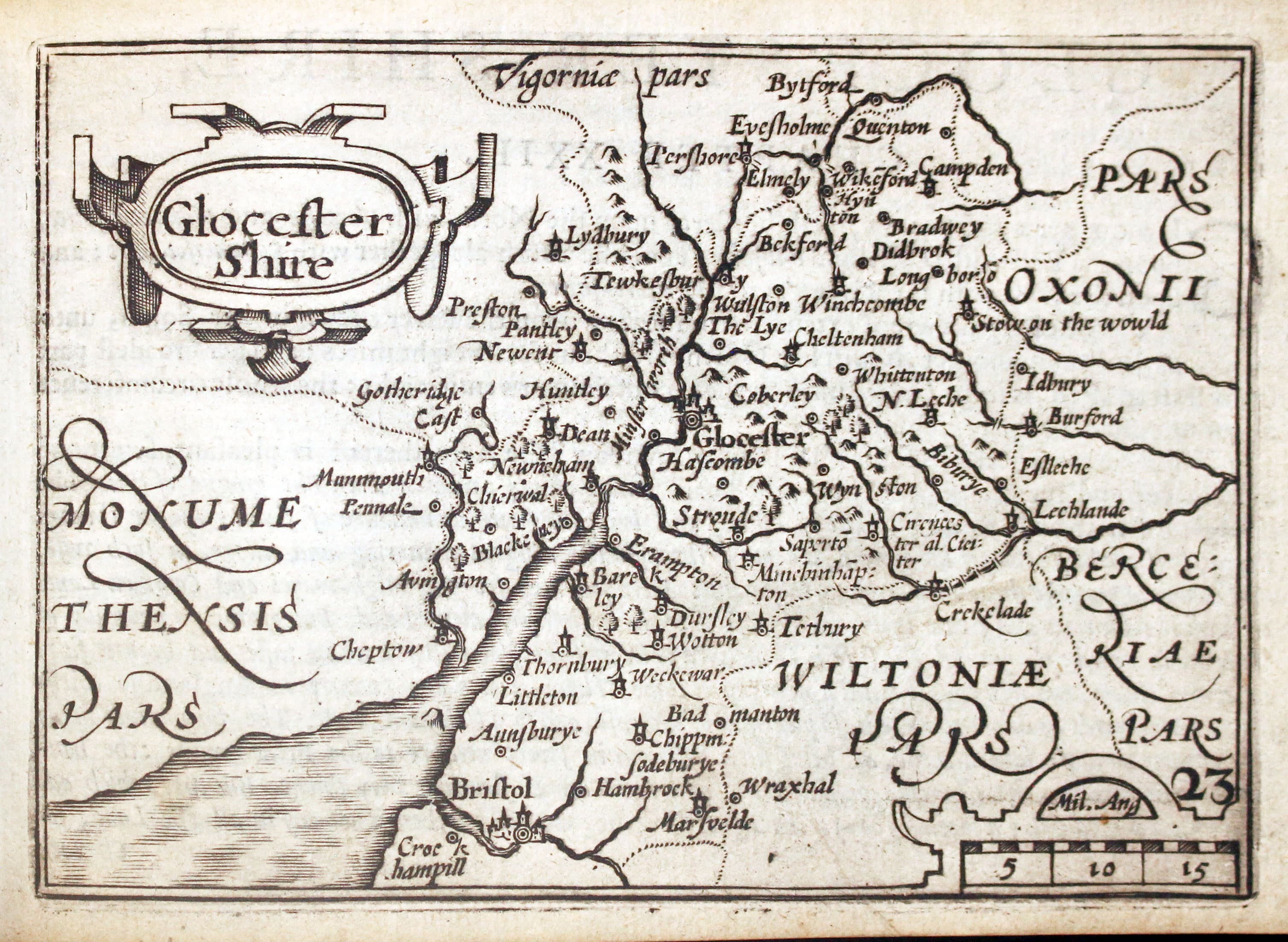
Map of Gloucestershire by Pieter van den Keere 1627
-

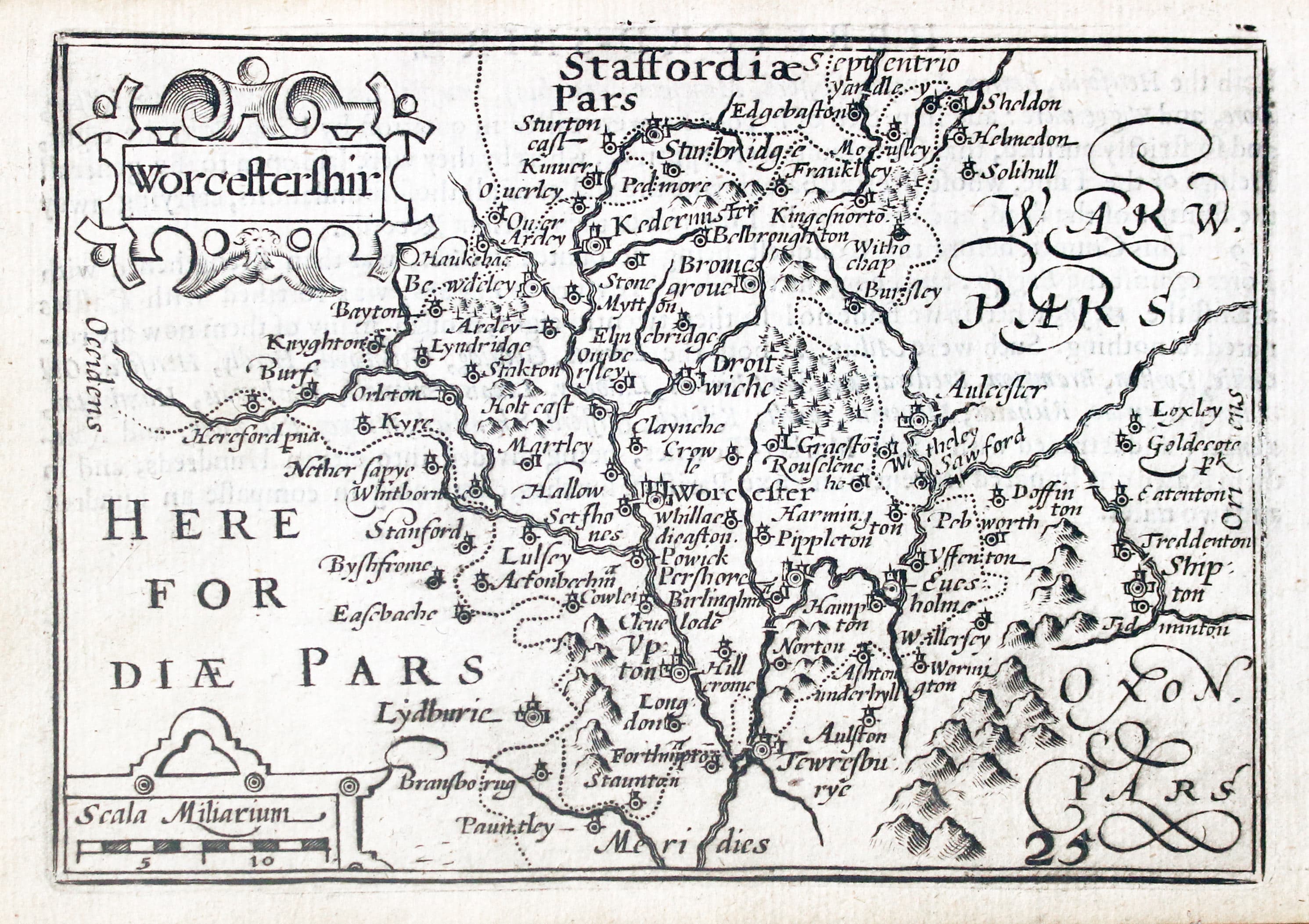
Map of Worcestershire by Pieter van den Keere 1627
-

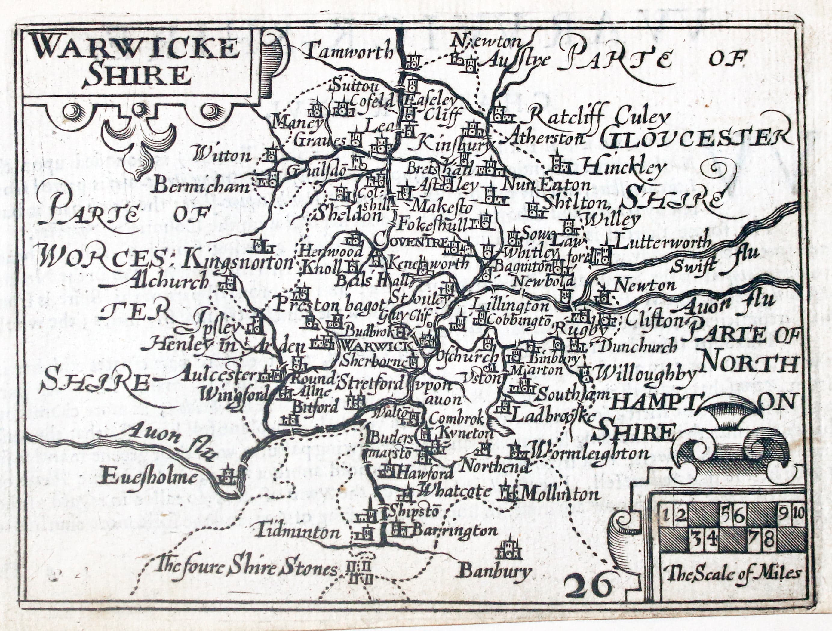
Map of Warwickshire by Pieter van den Keere 1627
-

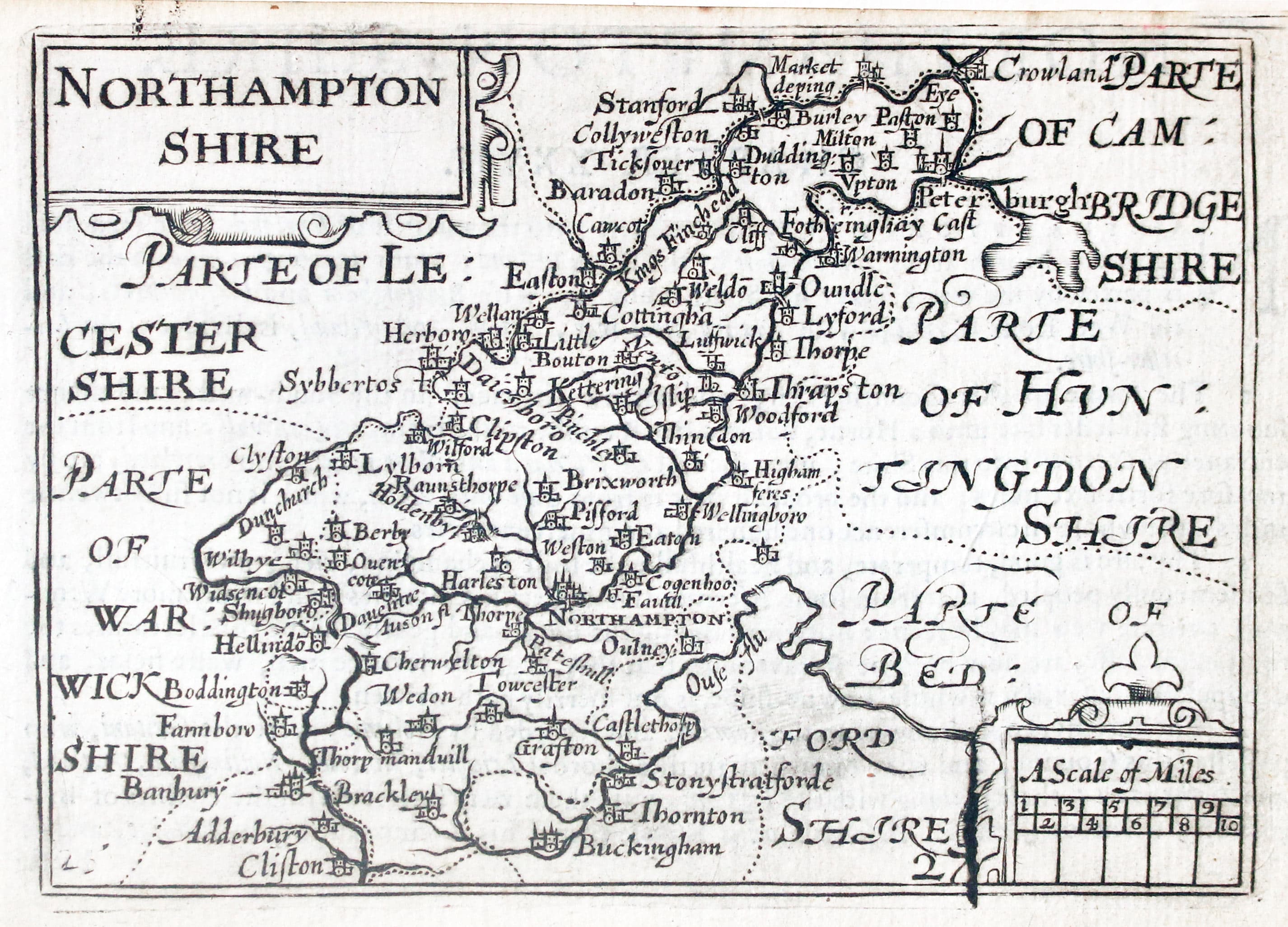
Map of Northamptonshire by Pieter van den Keere 1627
-
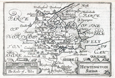
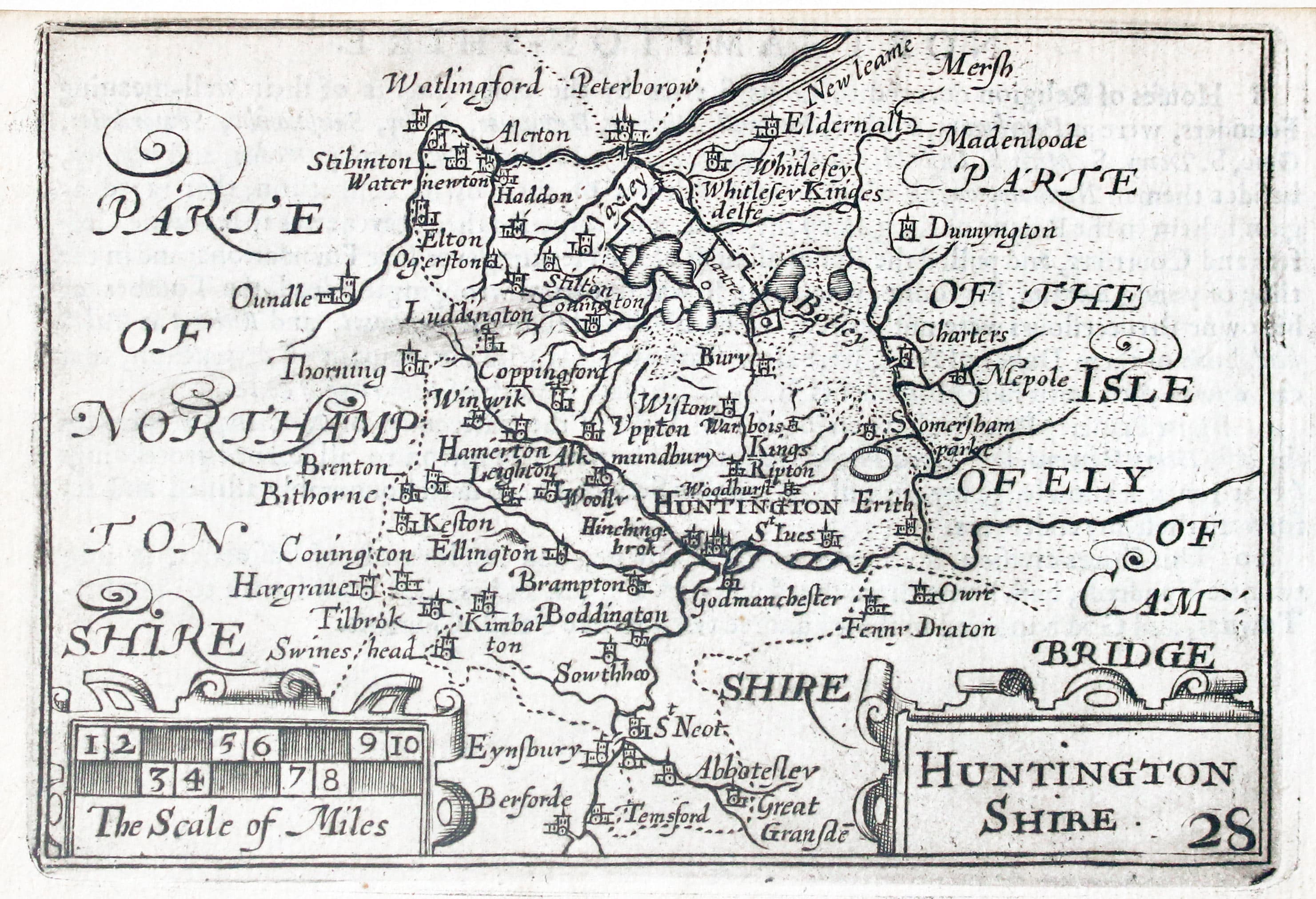
Map of Huntingdonshire by Pieter van den Keere 1627
-

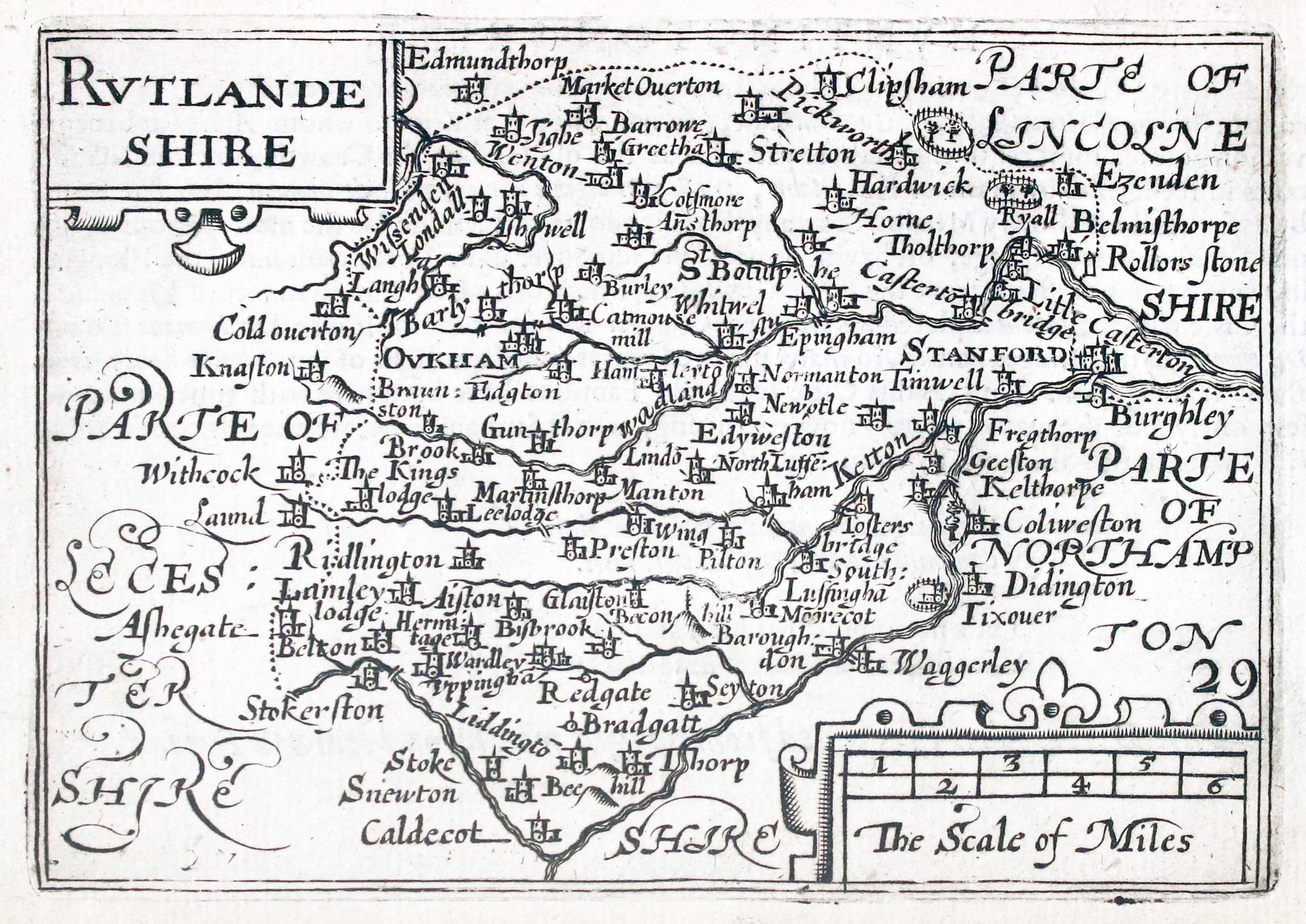
Map of Rutlandshire by Pieter van den Keere 1627
-
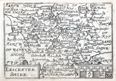
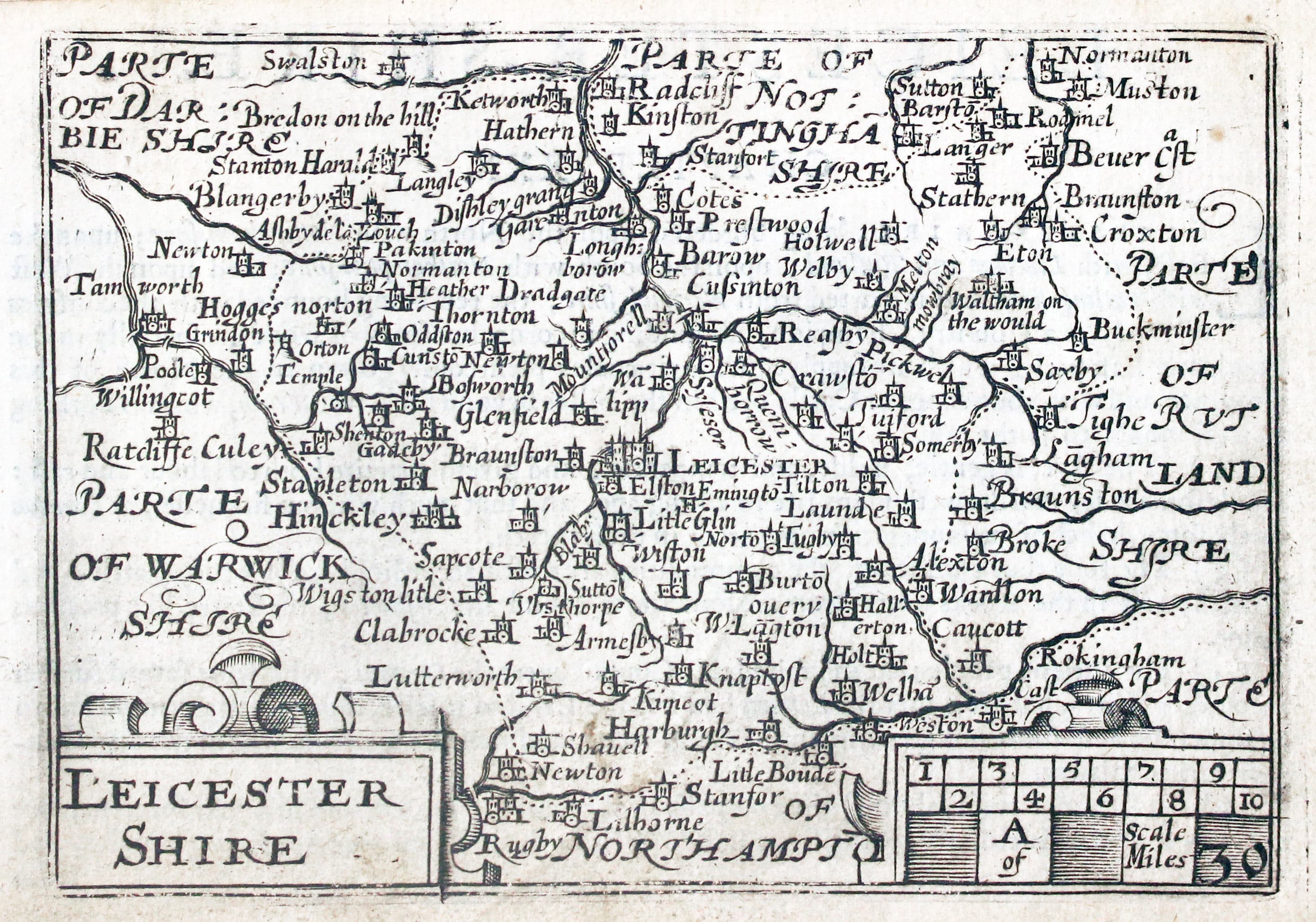
Map of Leicestershire by Pieter van den Keere 1627
-
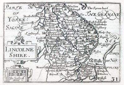
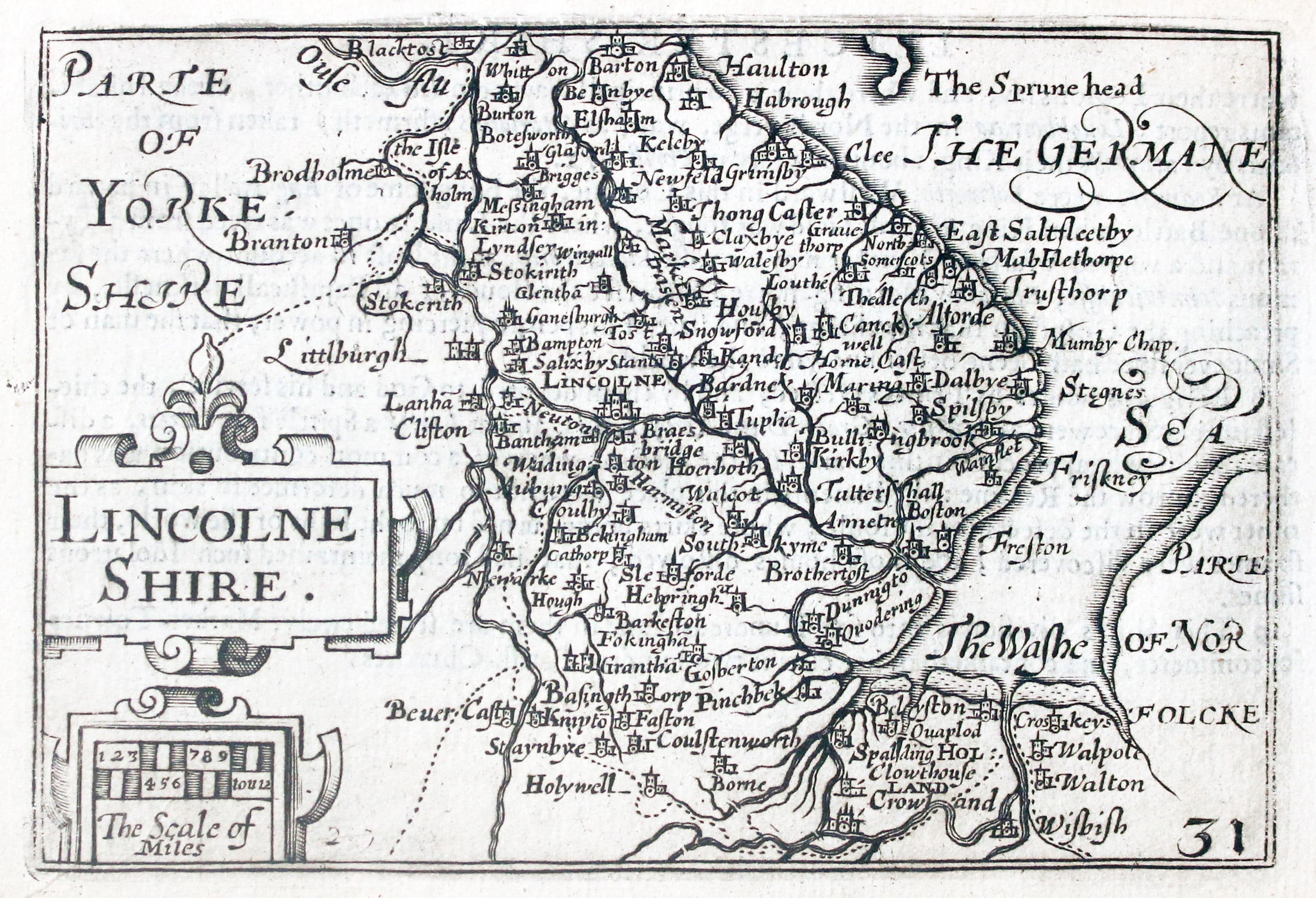
Map of Lincolnshire by Pieter van den Keere 1627
-
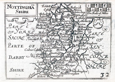
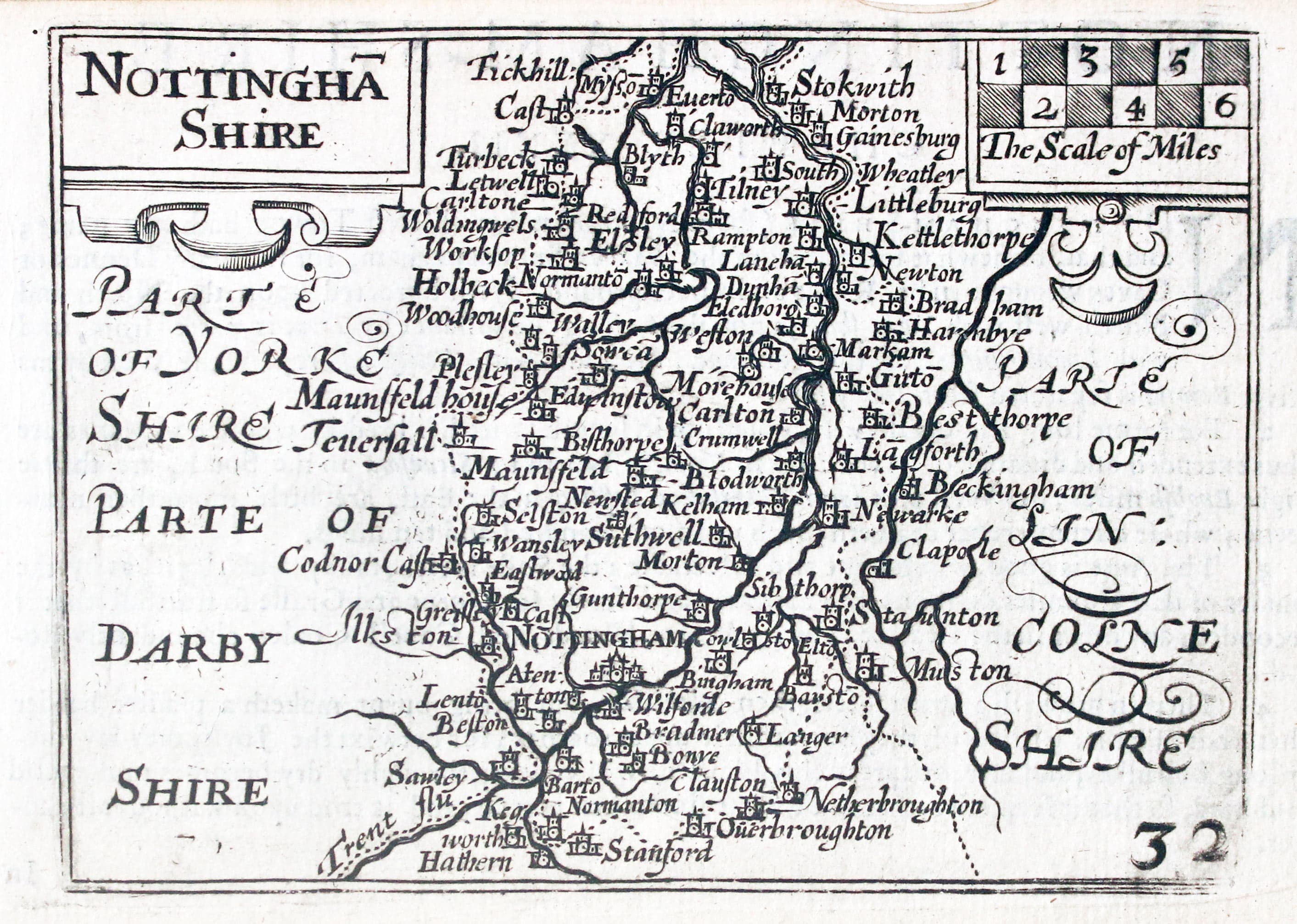
Map of Nottinghamshire by Pieter van den Keere 1627
-
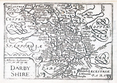
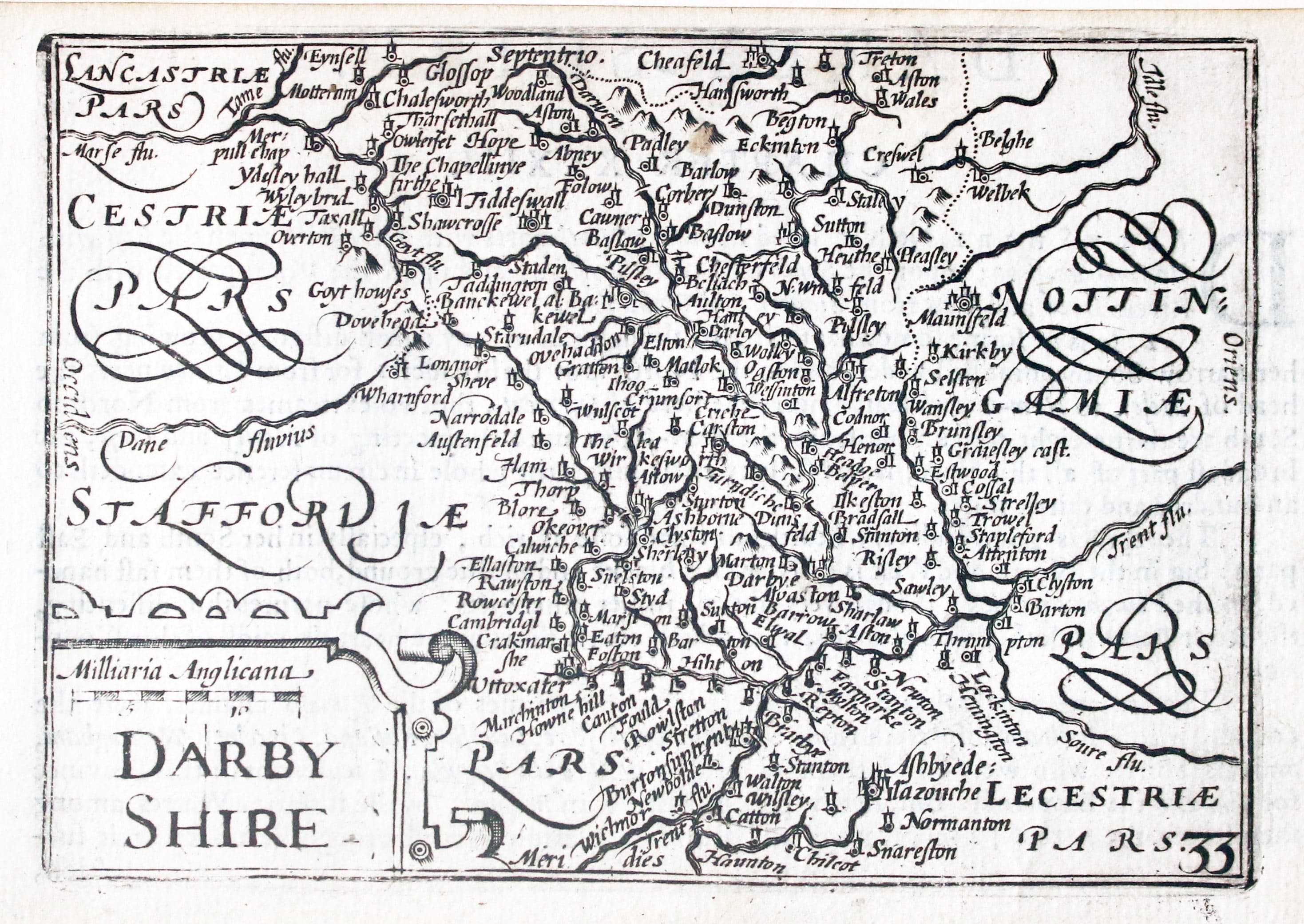
Map of Derbyshire by Pieter van den Keere 1627
-
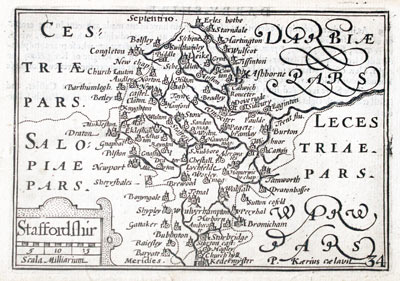
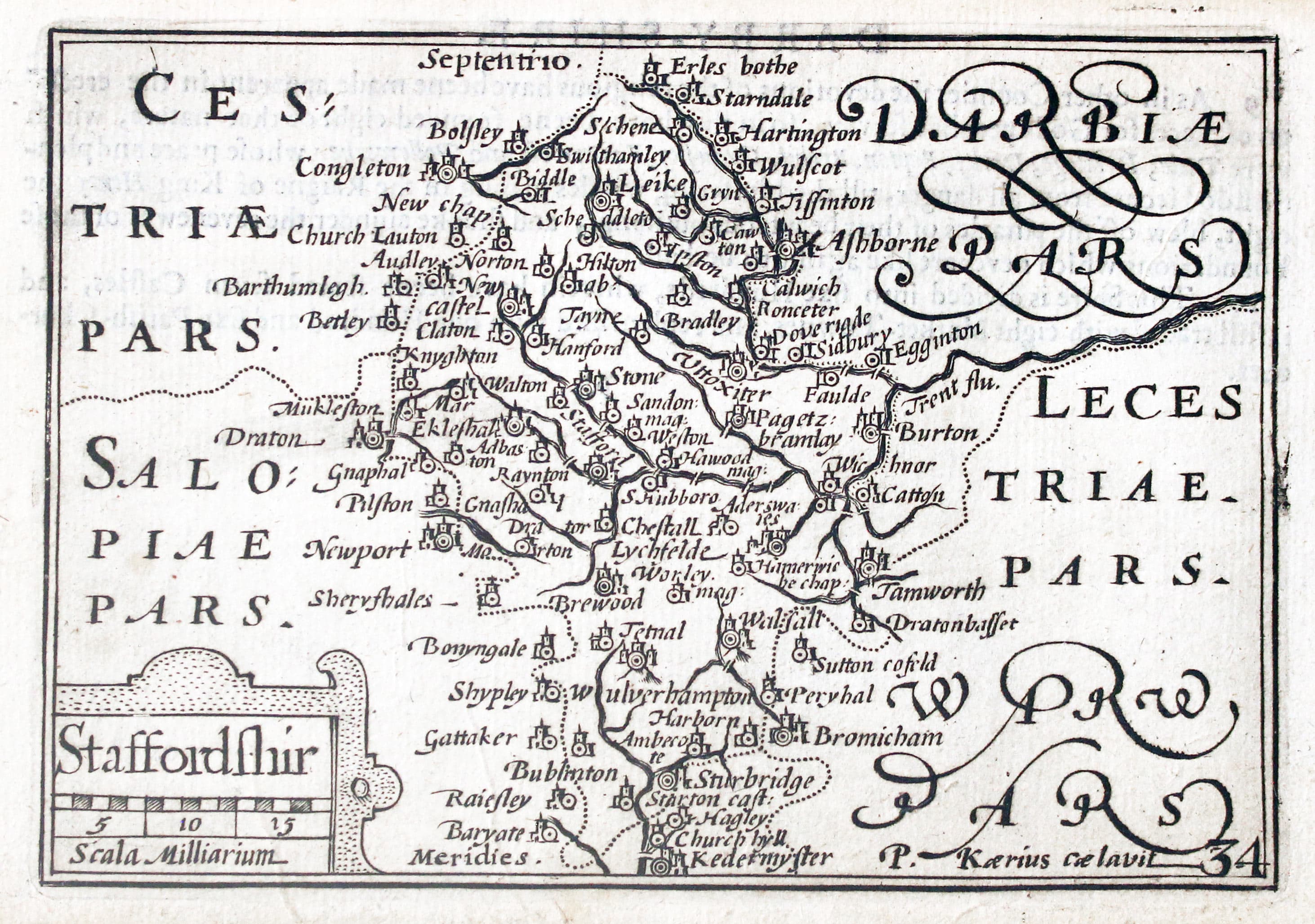
Map of Staffordshire by Pieter van den Keere 1627
-
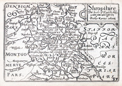
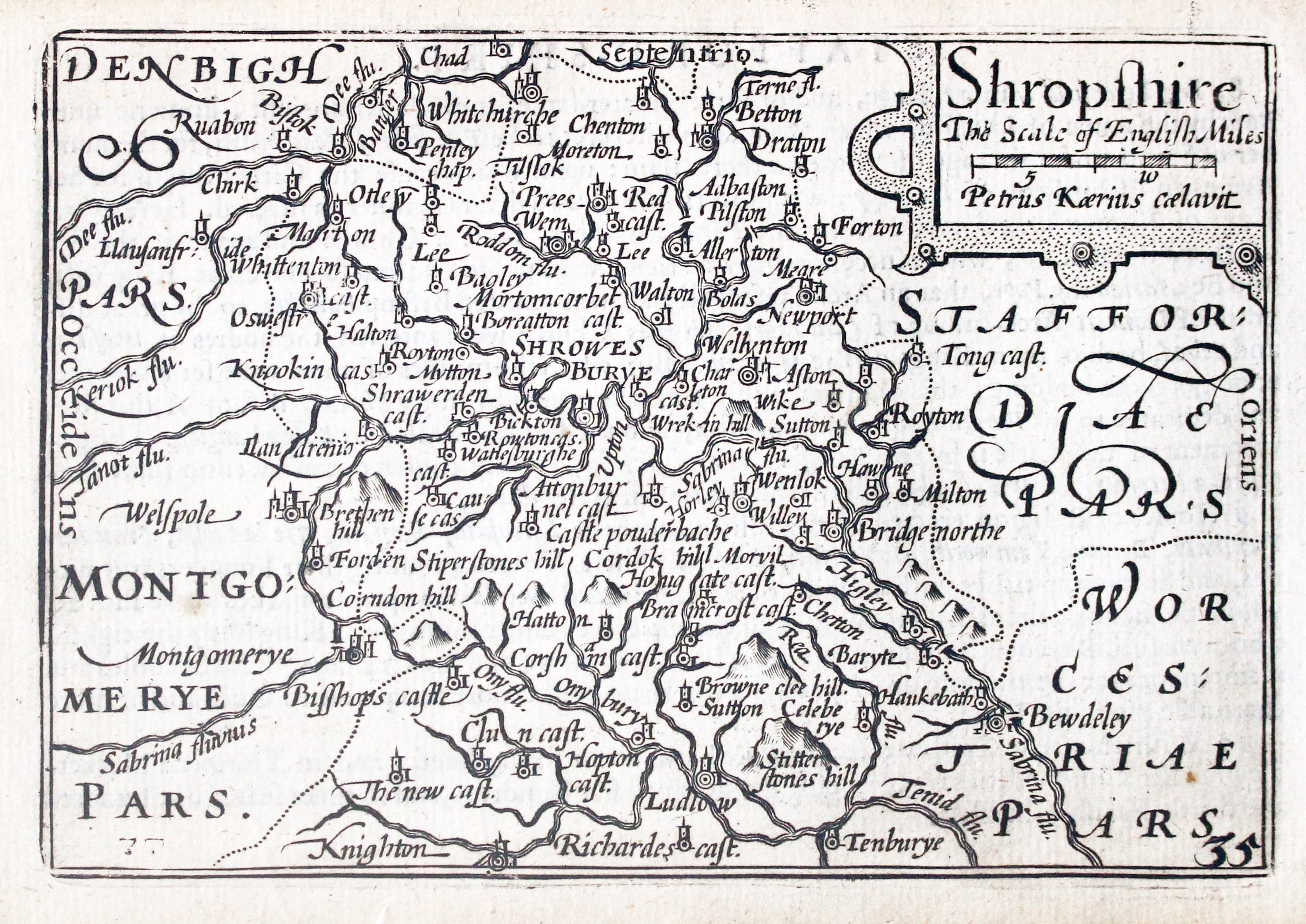
Map of Shropshire by Pieter van den Keere 1627
-
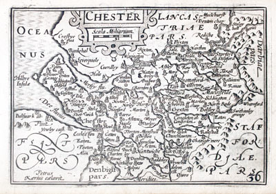
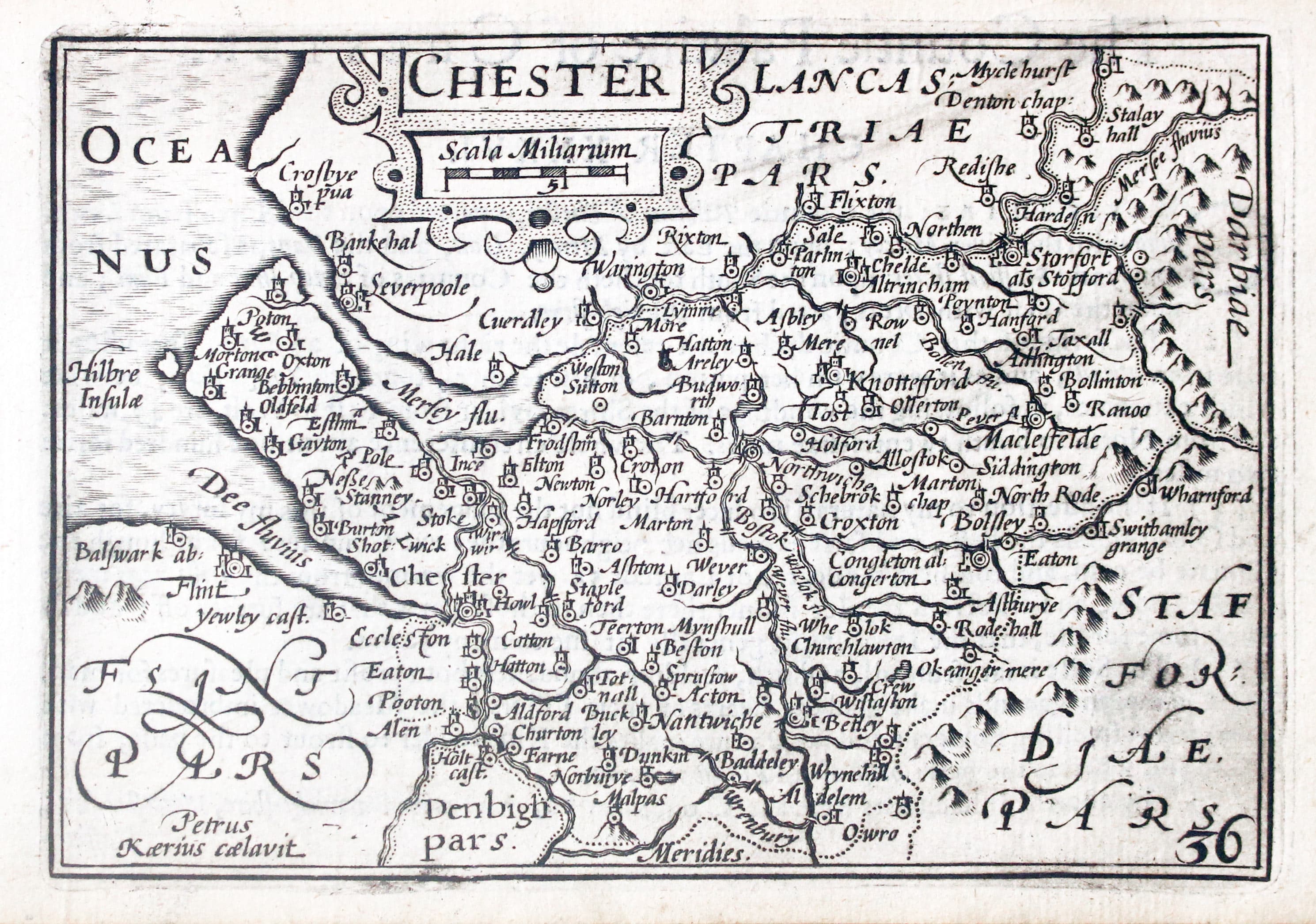
Map of Cheshire by Pieter van den Keere 1627
-
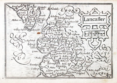
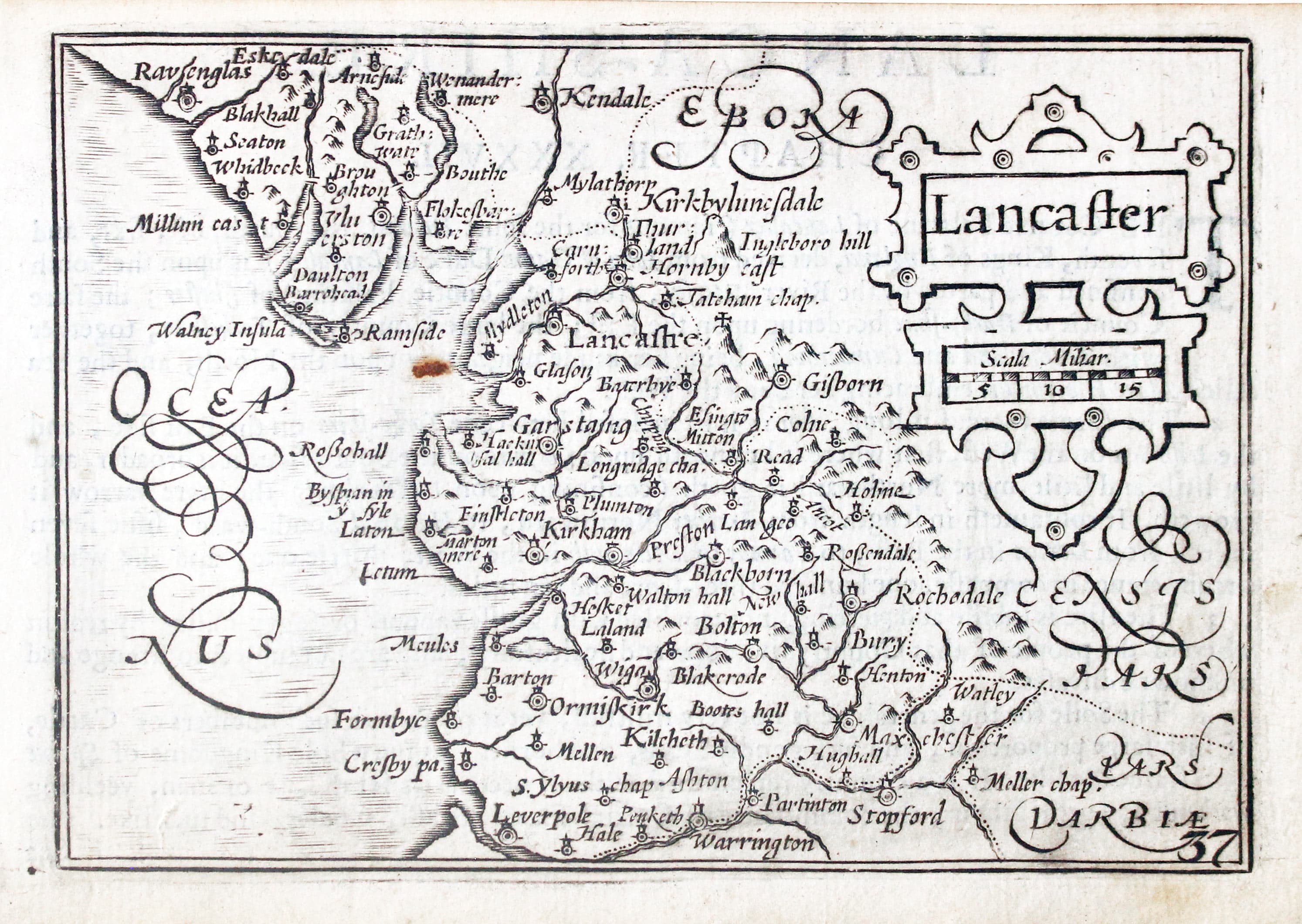
Map of Lancashire by Pieter van den Keere 1627
-
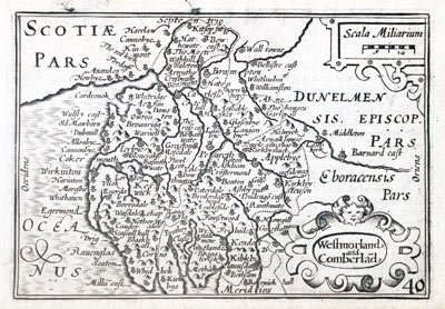
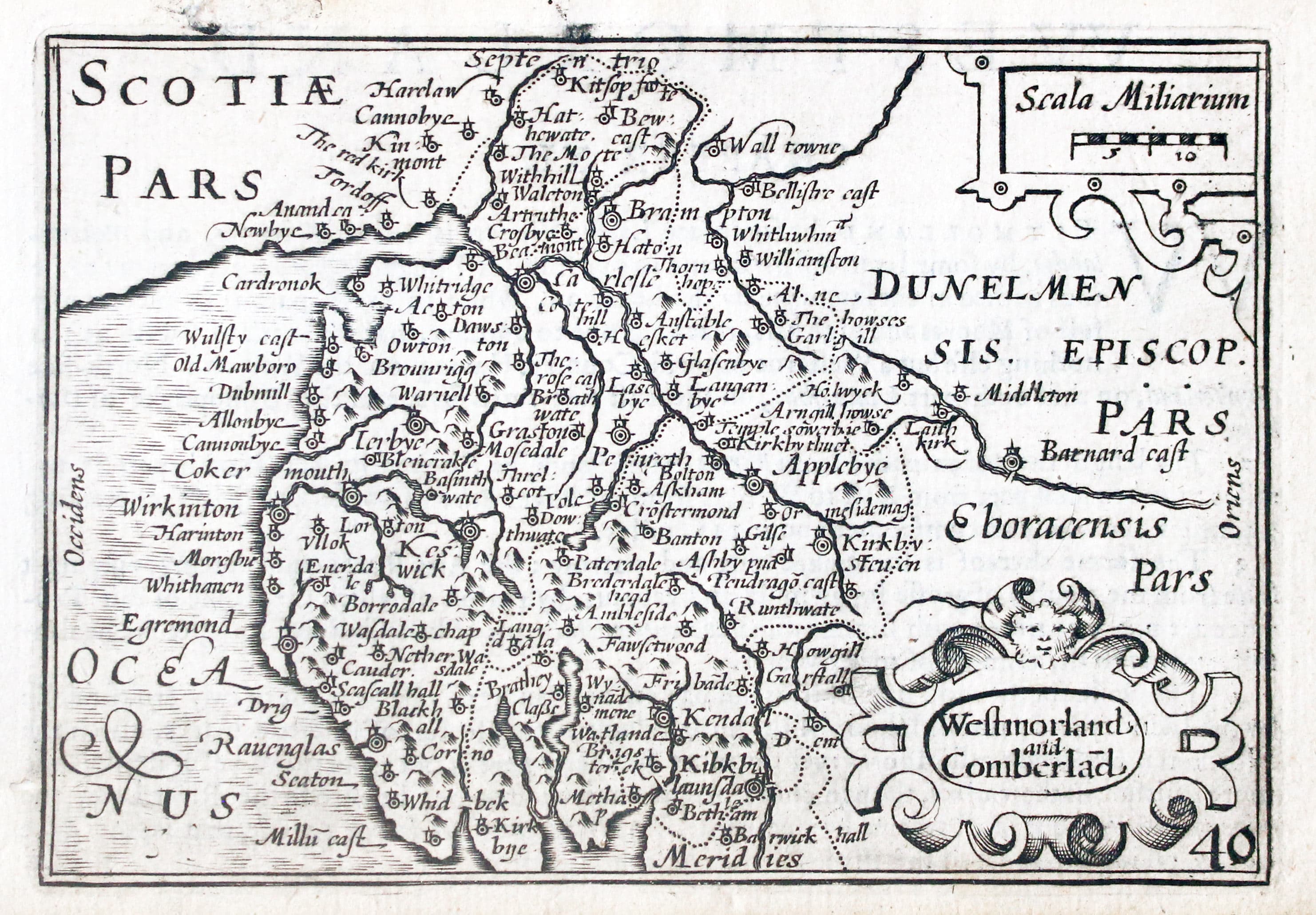
Map of Westmorland and Cumberland by Pieter van den Keere 1627
-

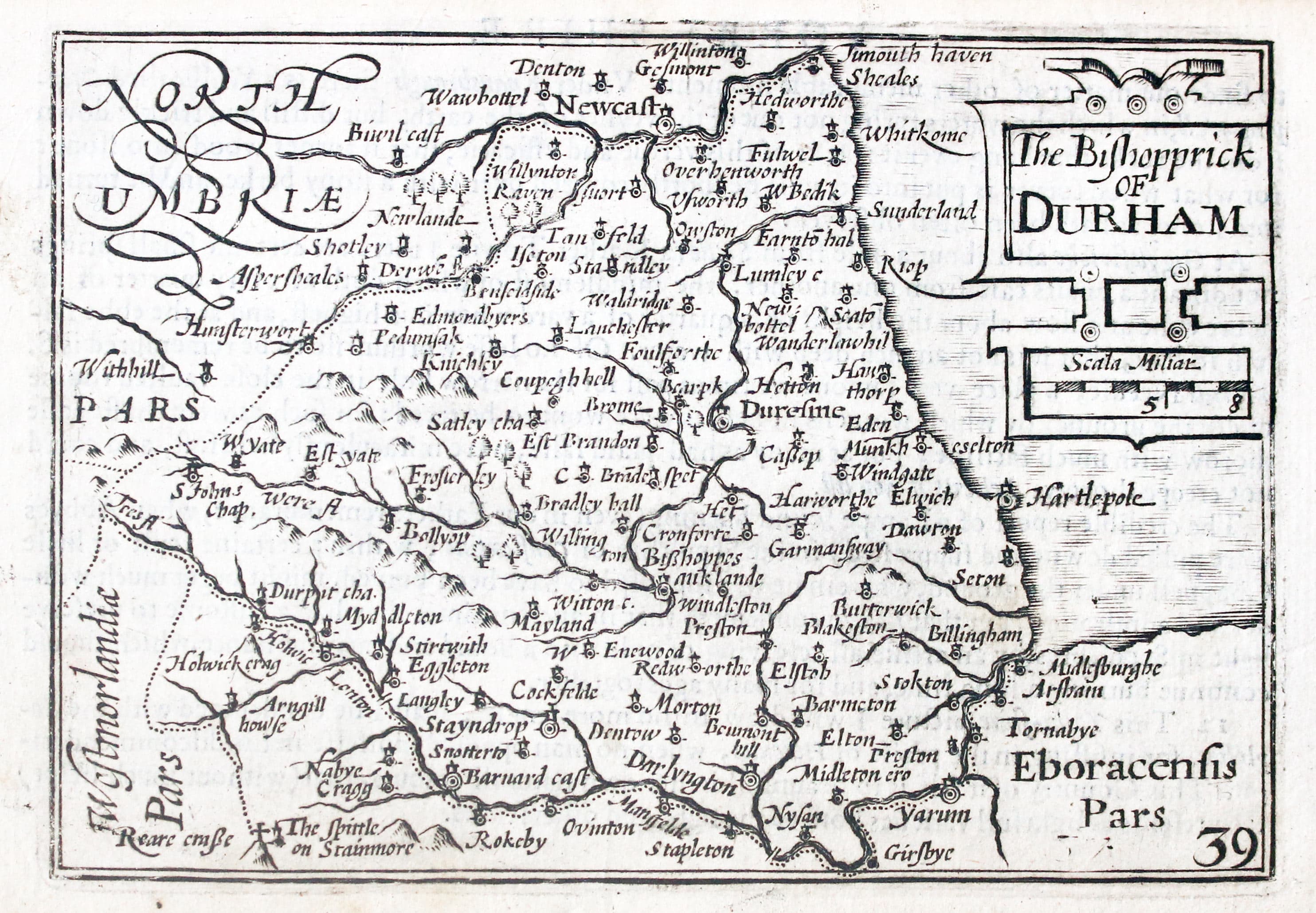
Map of County Durham by Pieter van den Keere 1627
-
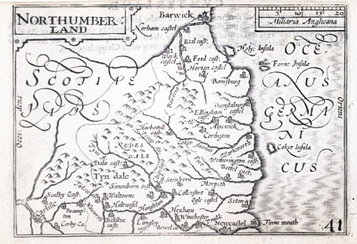
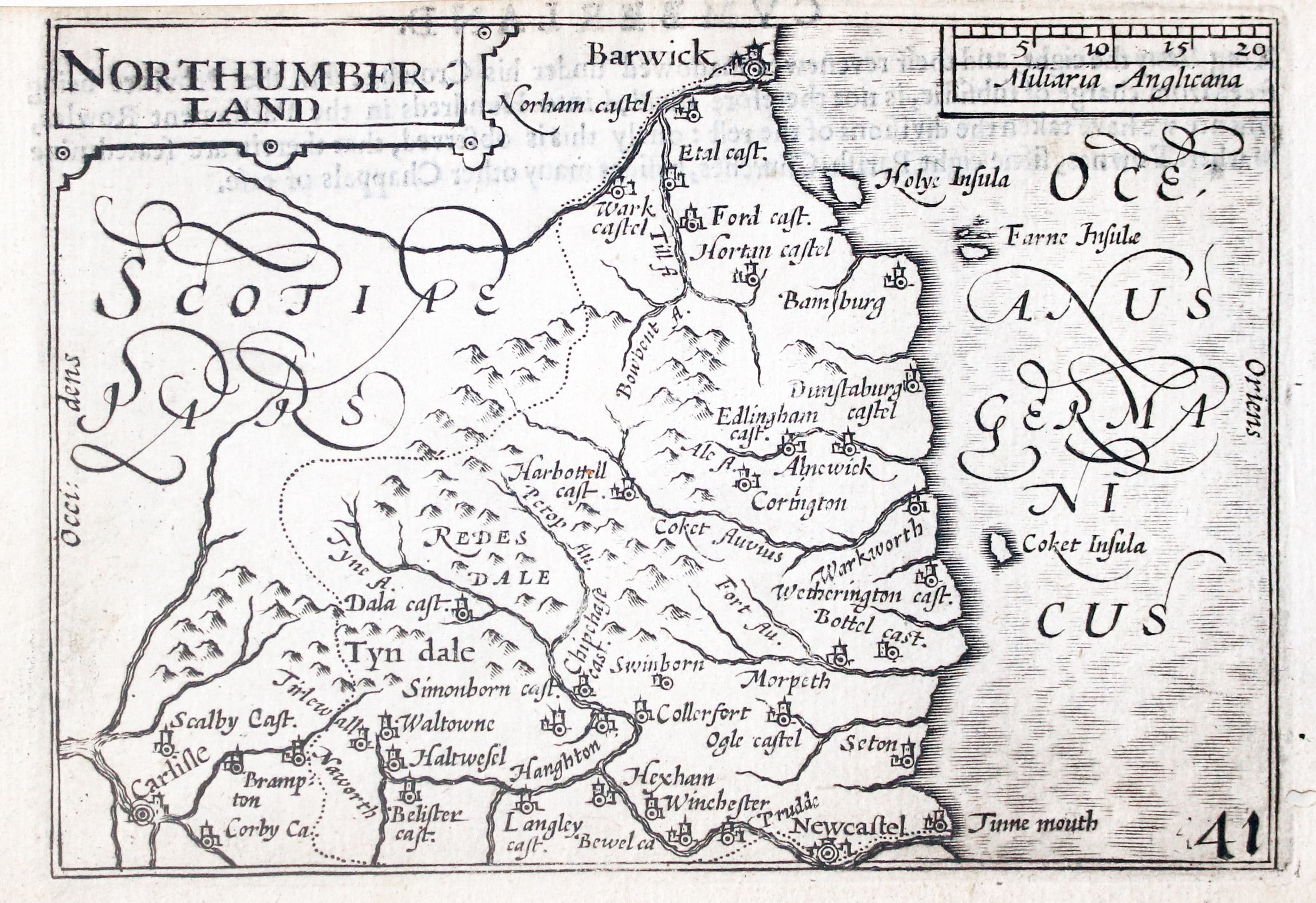
Map of Northumberland by Pieter van den Keere 1627
-

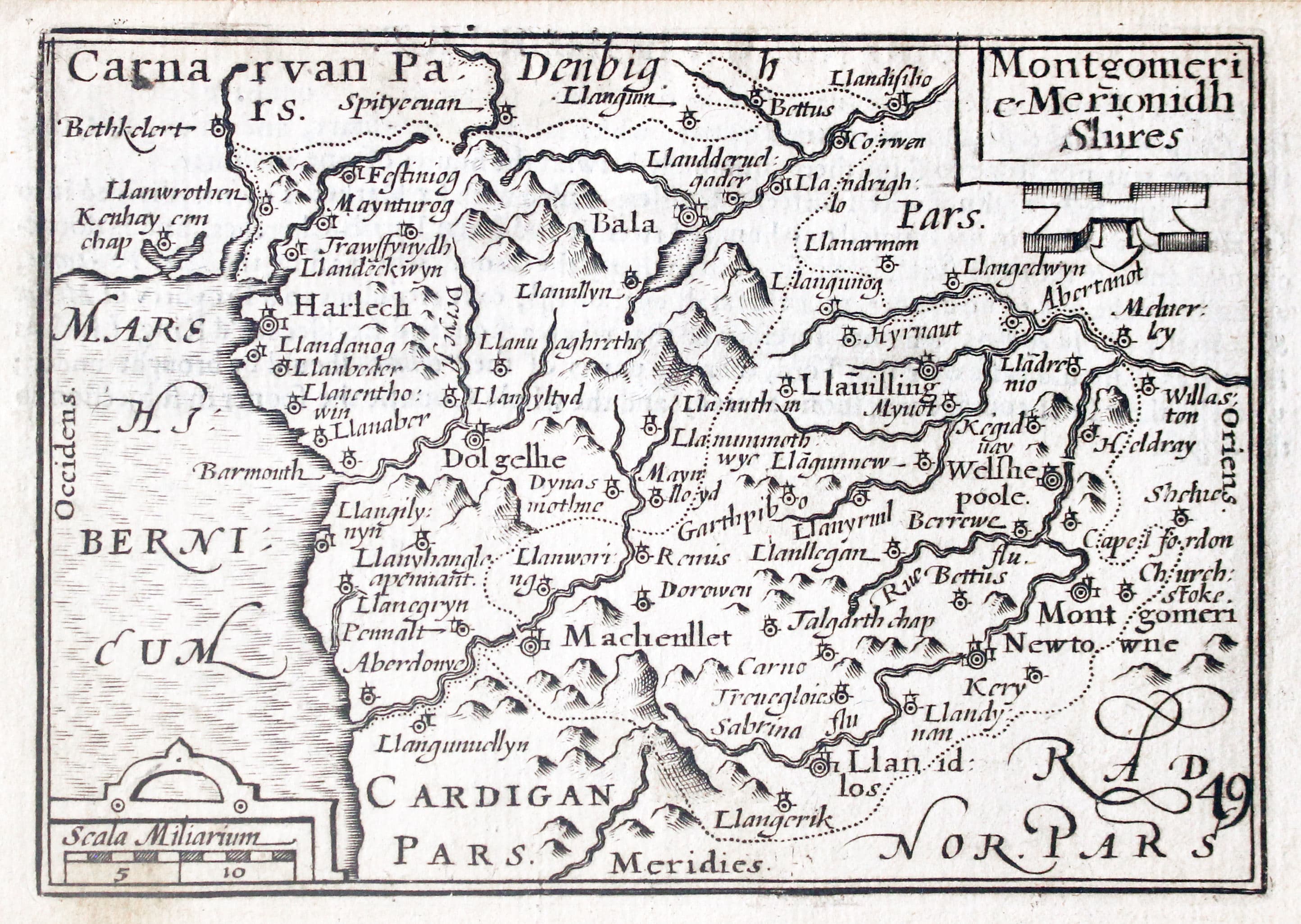
Map of Montgomeryshire and Merionethshire by Pieter van den Keere 1627
-
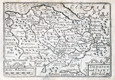
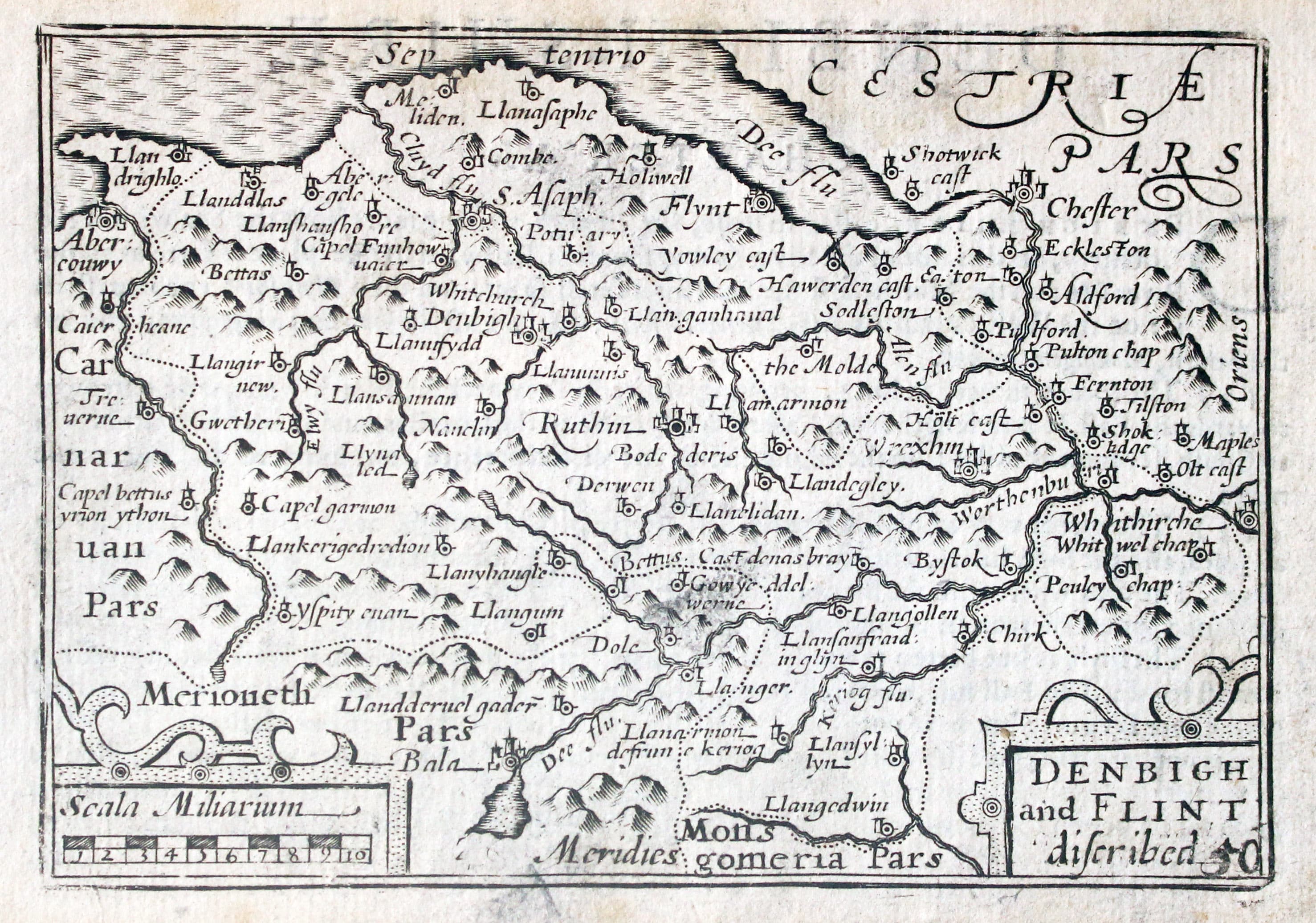
Map of Denbighshire and Flintshire by Pieter van den Keere 1627
-

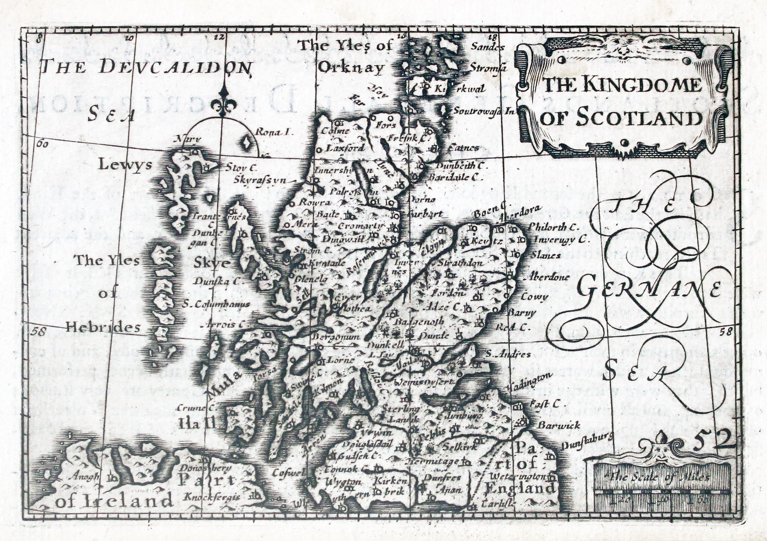
Map of Scotland by Pieter van den Keere 1627
-
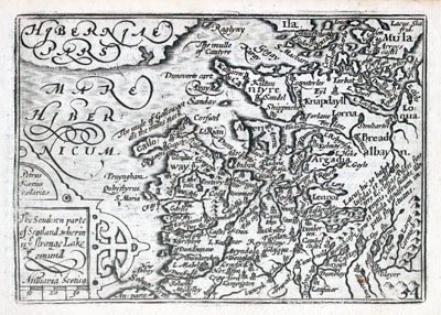
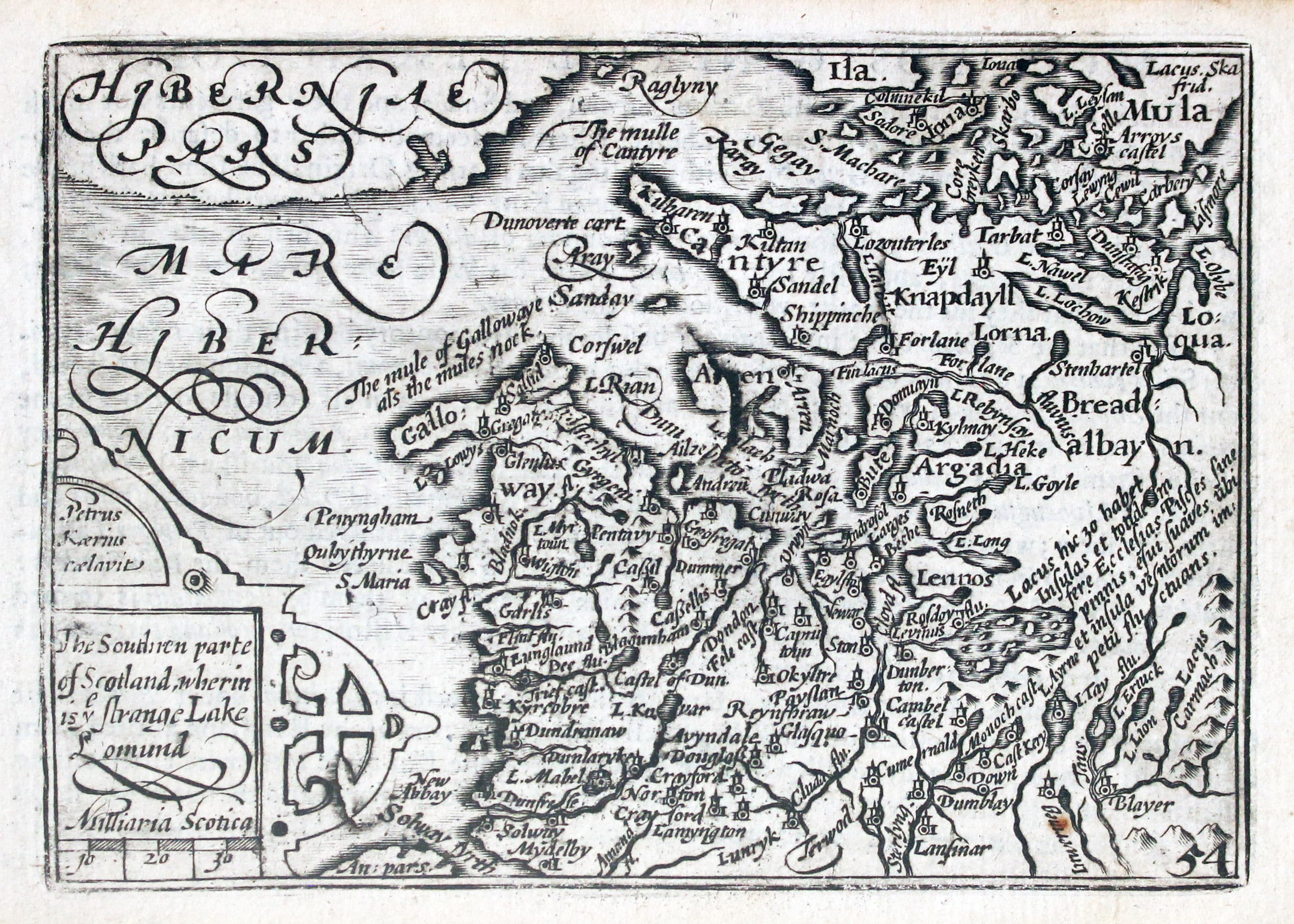
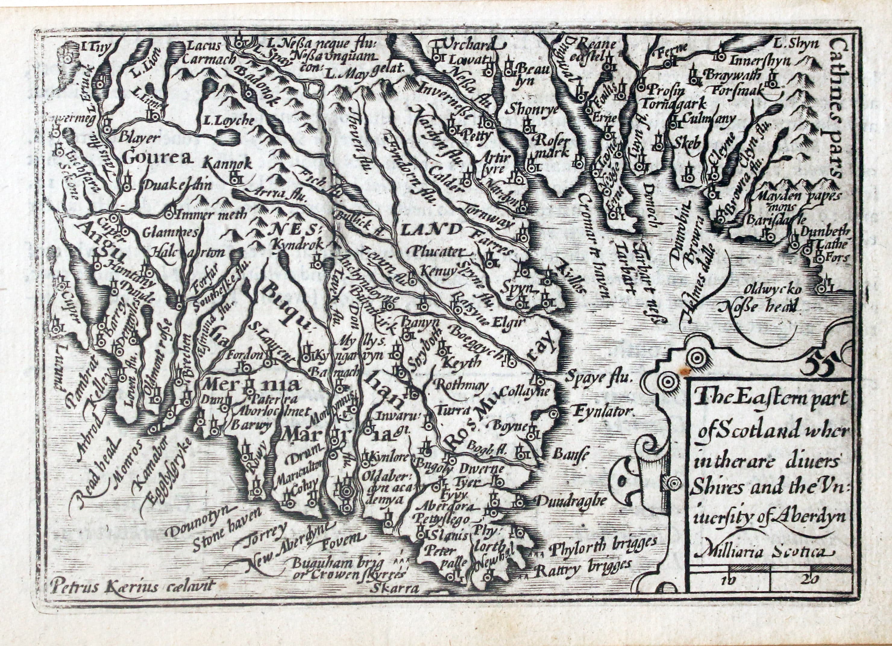
Map of Western Scotland by Pieter van den Keer, 1627
-

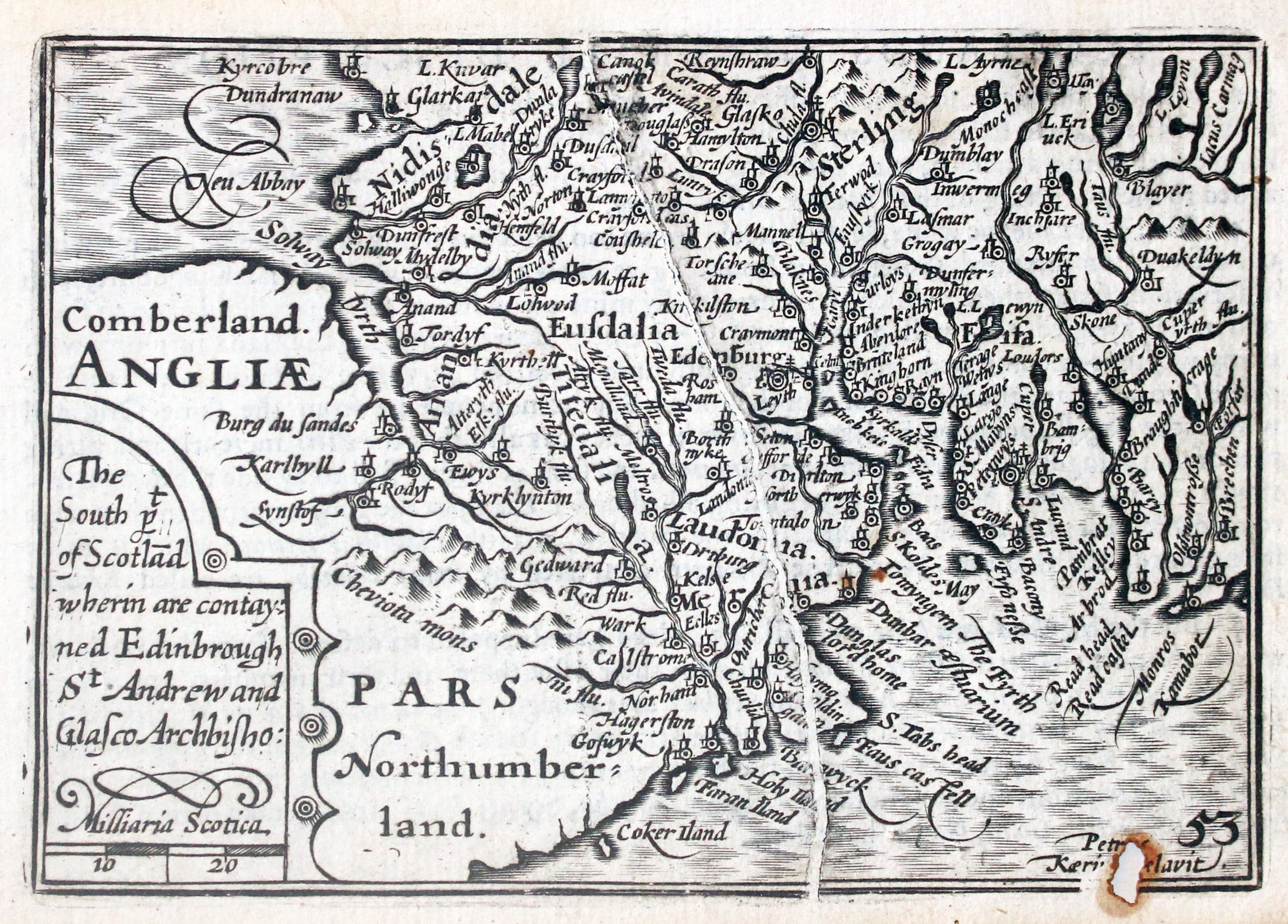
Map of Southern Scotland by Pieter van den Keere, 1627
-

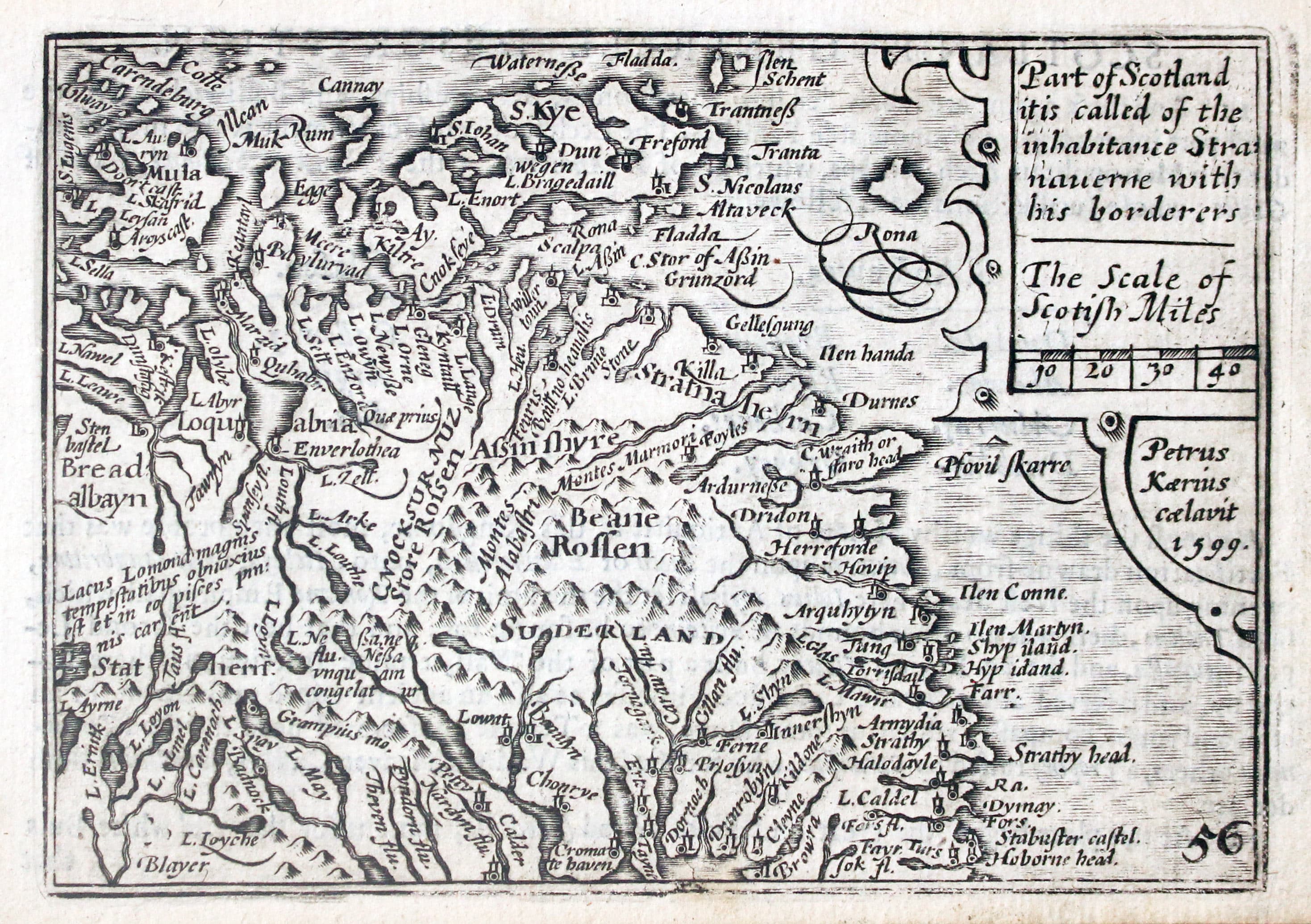
Map of Western Scotland by Pieter van den Keer, 1627
-

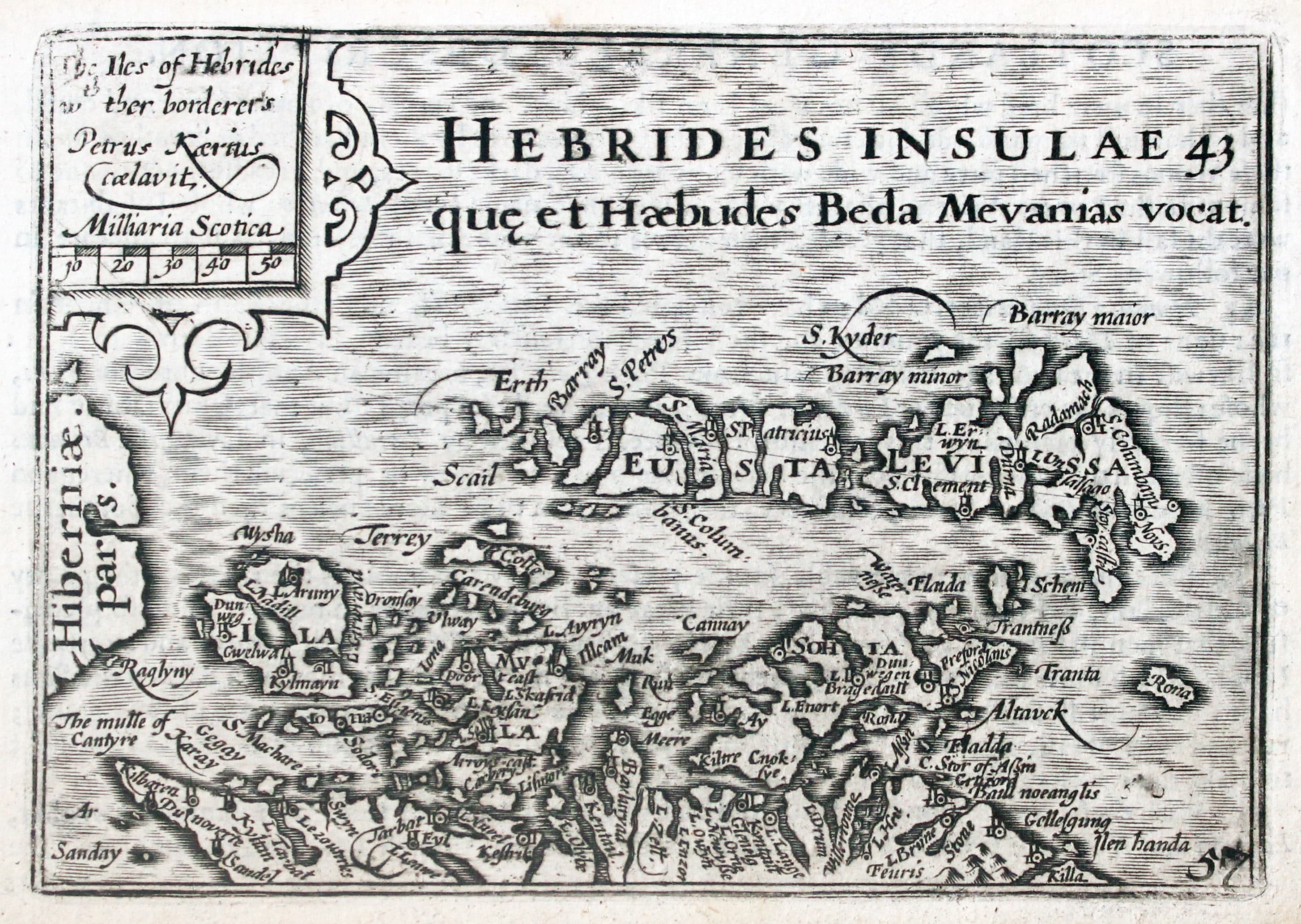
Map of the Hebrides by Pieter van den Keere
-

Map of North West Scotland by Pieter van den Keere, 1627
-

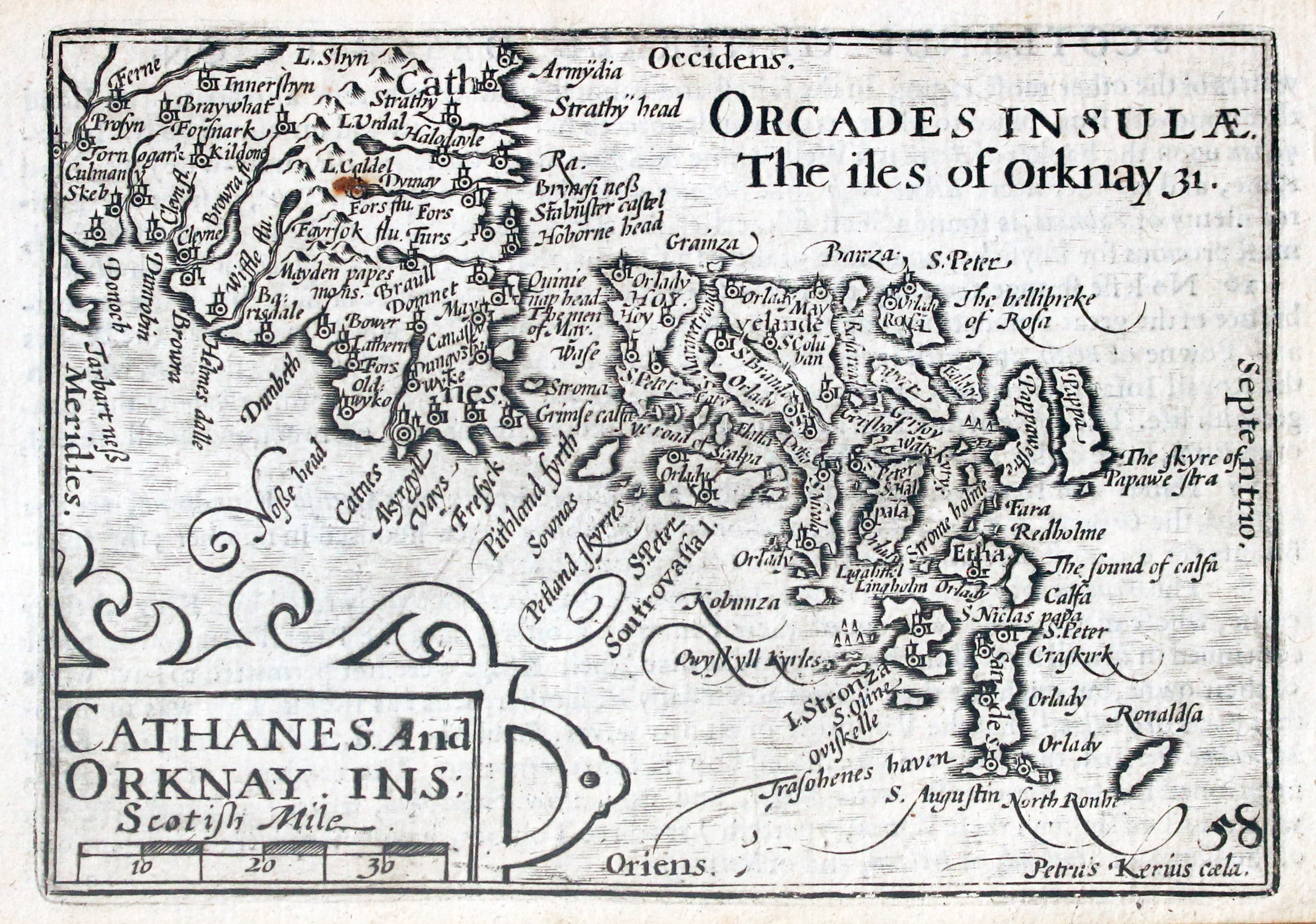
Map of the Orkney Islands, Scotland by Pieter van den Keere 1672
Cracks
-

Keere's map of Oxfordshire showing a crack
The copper plates that early maps were printed from do get worn over time and they can crack. The cracks can often be useful in dating a map. In County Atlases of the British Isles 1579 - 1703 by R. A. Skelton there is a useful table for the Keere maps. He lists nine Keere maps. Devonshire, Essex, Cambridgeshire, Oxfordshire, Northamptonshire, South Part of Scotland, Eastern part of Scotland and Connaught and provides details of the cracks for different editions. If the crack has stayed the same, if it has extended or if a new plate has been engraved.
Rest of the World
-

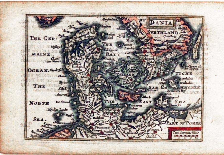
Denmark by Pieter van den Keere
-

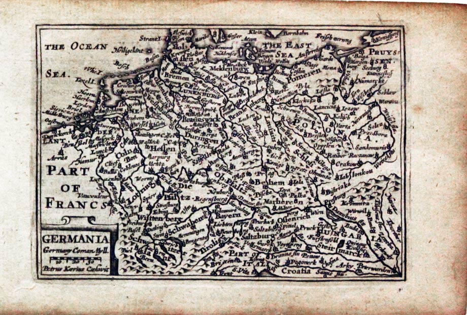
Germany by Pieter van den Keere
-

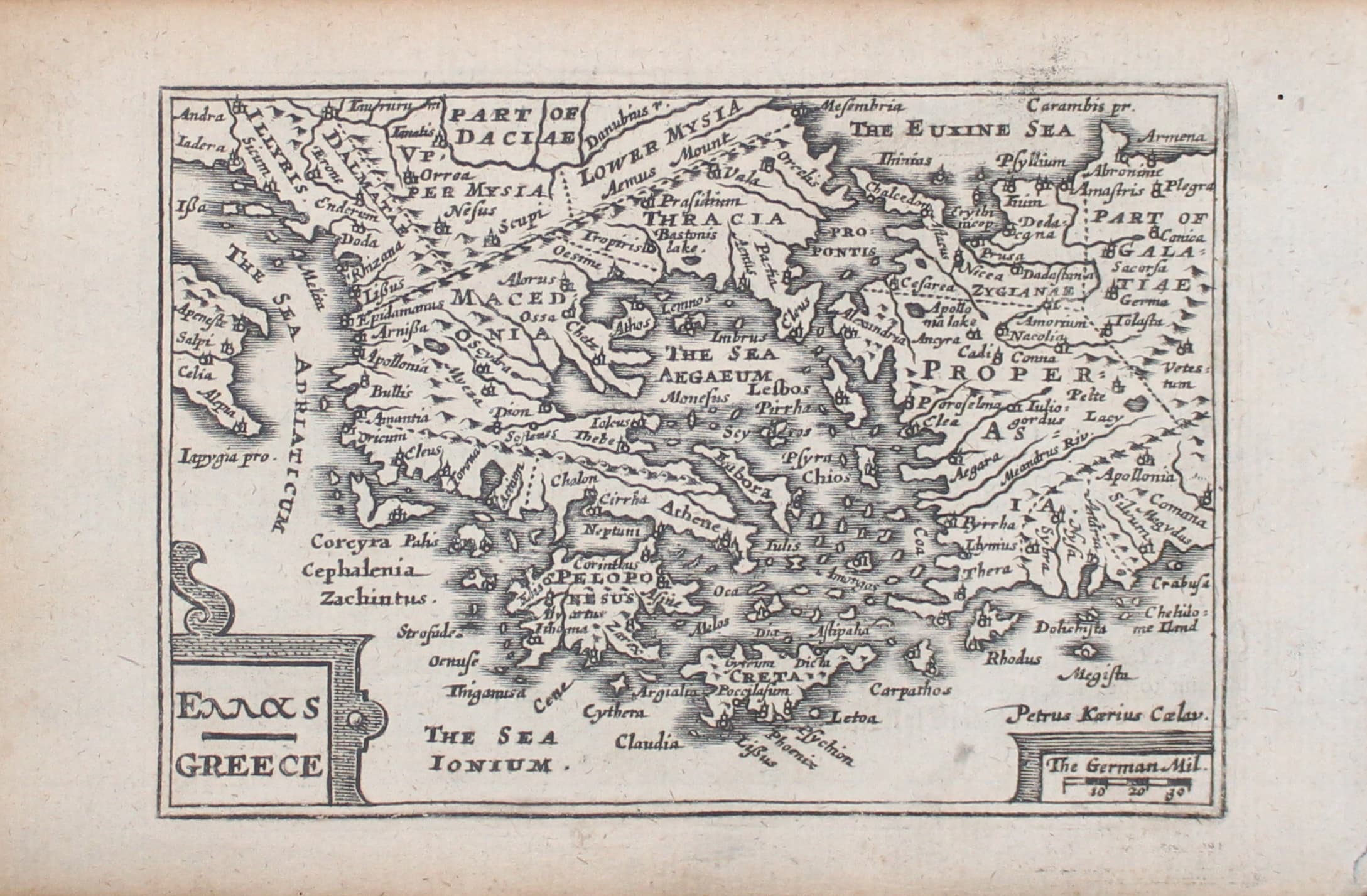
Greece by Pieter van den Keere
-
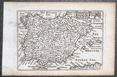
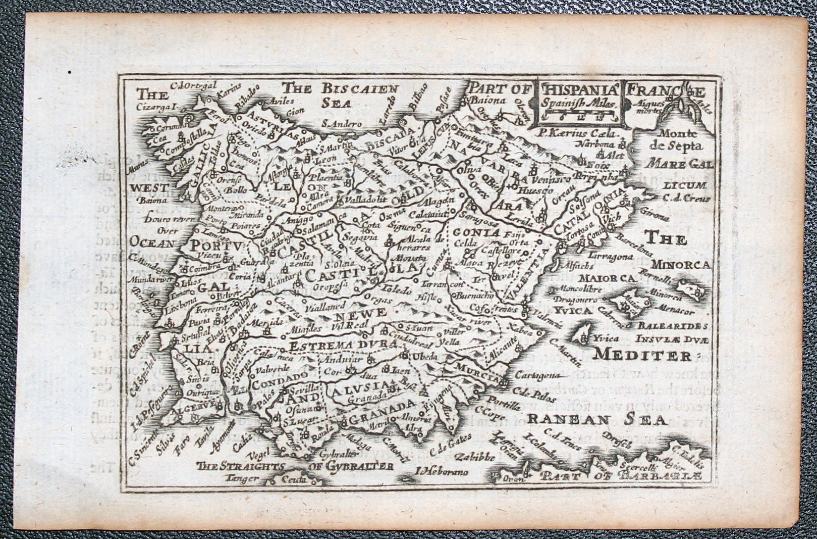
Spain and Portugal by Pieter van den Keere
-

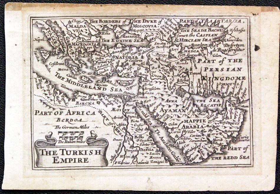
Turkish Empire by Pieter van den Keere
-

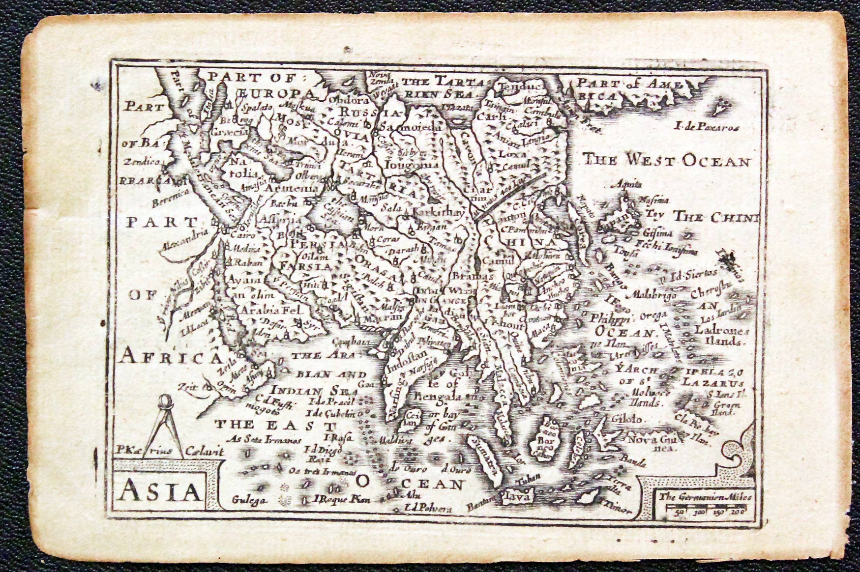
Map of the continent of Asia by Pieter van den Keere
-

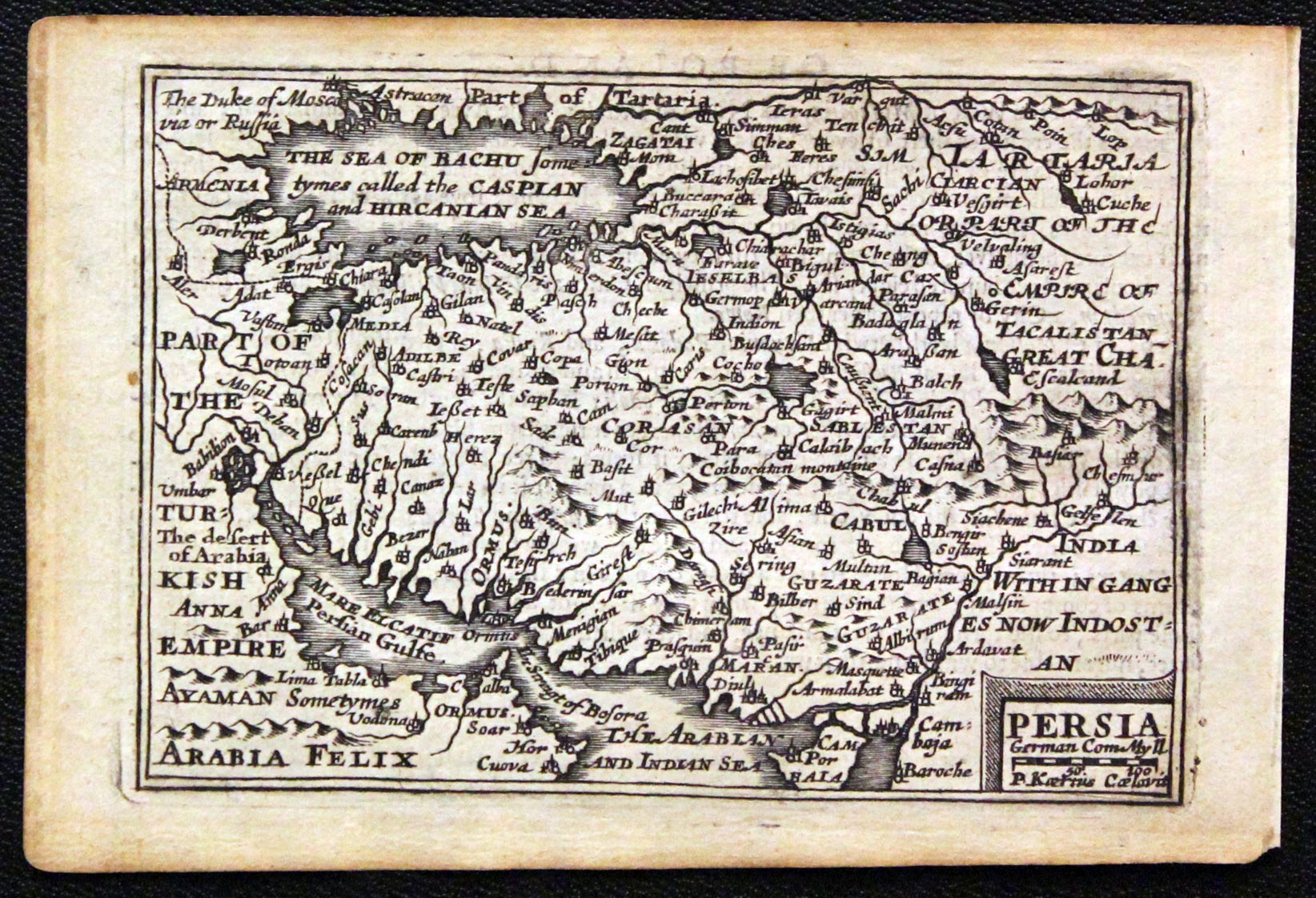
Map of Persia by Pieter van den Keere
-
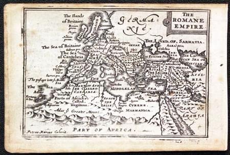
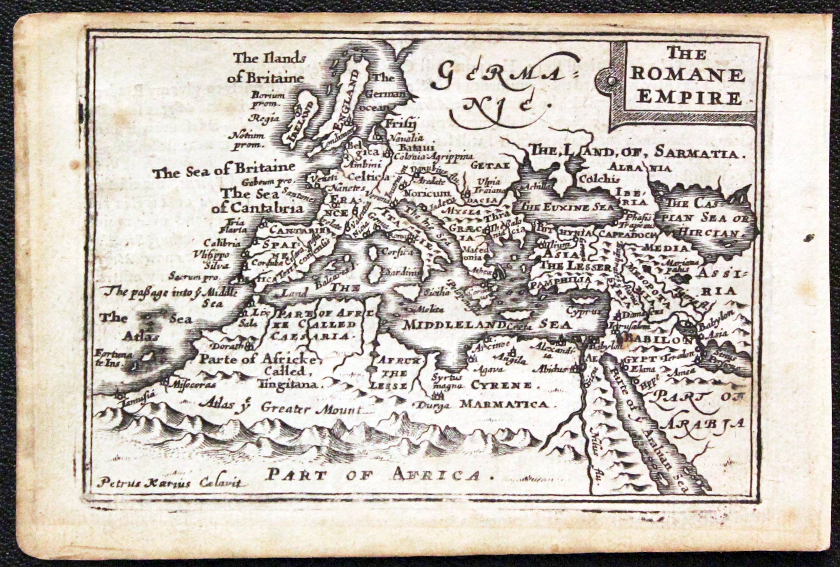
Map of the Roman Empire by Pieter van den Keere
Reference:
- County Atlases of the British Isles 1579 -1703 by R. A. Skelton
- The Printed Maps in the Atlases of Great Britain and Ireland. A Bibliography, 1579 - 1870 by Thomas Chubb
Just my personal opinion
Known as "Miniature Speed" as they were published by the same publishers as The Theatre of the Empire of Great Britaine which contained John Speed's county maps. They were popular in their day as witnessed by the number of additions. And they are popular now. I wonder if the printers would have been a little more careful had they known how treasured their maps are nowerdays. You will find specimens with unequal blank margins, maps printed askew and some trimming in many cases. You might have to accept this as a novelty or carry on waiting for a better specimen to turn up.
