RICHARD NICHOLSON of CHESTER
A WORLD OF ANTIQUE MAPS AND PRINTS
The Cartographer
JOHN CARY
Produced so many series of detailed county maps of England
including
New & Correct English Atlas
Cary's Traveller's Companion
The New British Atlas
Camden's Britannia
A globe maker but also a prolific mapmaker
showing how good map engraving could be for the period
John Cary founded a family business which produced a large number of maps, charts and globes. His first premises were at 188 Strand (1783-1787) moving to 181 Strand in 1791 for a period of nearly thirty years before moving to 86 St. James's Street, London (1820 - 1832)
His ability brought him a special commission in 1794 from the Postmaster-General to survey the roads of Great Britain. He is perhaps best known for the important English county atlases he produced. Cary's New and Correct English Altas which was first published in 1787 but which went into a number of editions in succeeding years. The maps for the new edition of Camden's Britannia by Richard Gough in 1789 and 1806. Cary's Traveller's Companion, 1790 and later editions - a handy pocket reference for the golden age of coaching. He also worked with John Stockdale to produce The New British Atlas in 1805.
He did not confine himself to the British Isles as one of his most famous works is Cary's New Universal Atlas (1808), it was a large collection of maps of all parts of the world, including detailed maps of England and Wales, and it was considered one of the most accurate and detailed atlases of its time.
Cary continued to produce maps and atlases throughout his career, and he is credited with helping to establish the London map trade as a major industry. He was known for his meticulous attention to detail and his use of the latest surveying techniques to produce accurate and up-to-date maps. Gone is the decoration which his predecessors used on their maps. His maps broke new ground with their modern style of clarity and fine engraving.
Cary's maps and atlases were widely used during the 19th century and played a key role in the development of transportation and communication networks in England and Wales. His work is still highly regarded for its accuracy and attention to detail, and his maps continue to be sought after by collectors and historians today.
New & Correct English Atlas
-

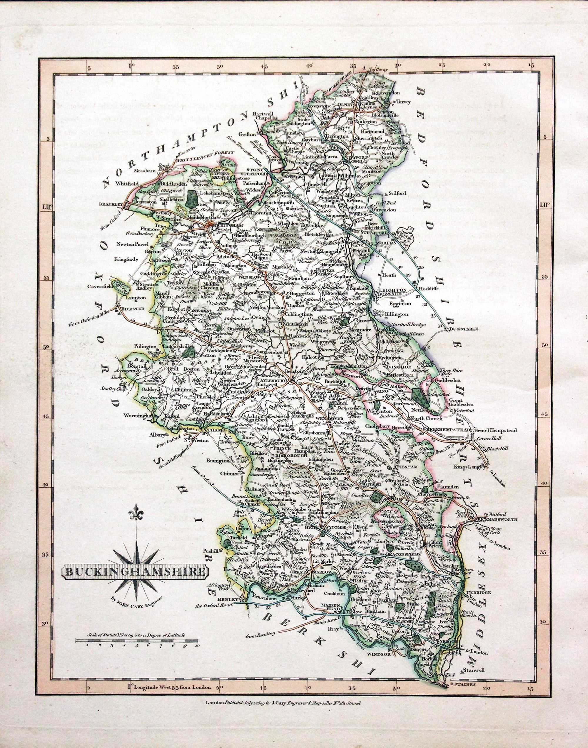
Map of Buckinghamshire by John Cary
-
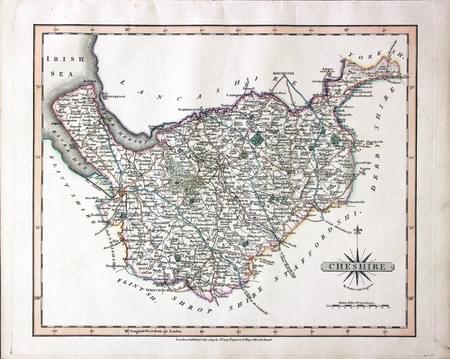
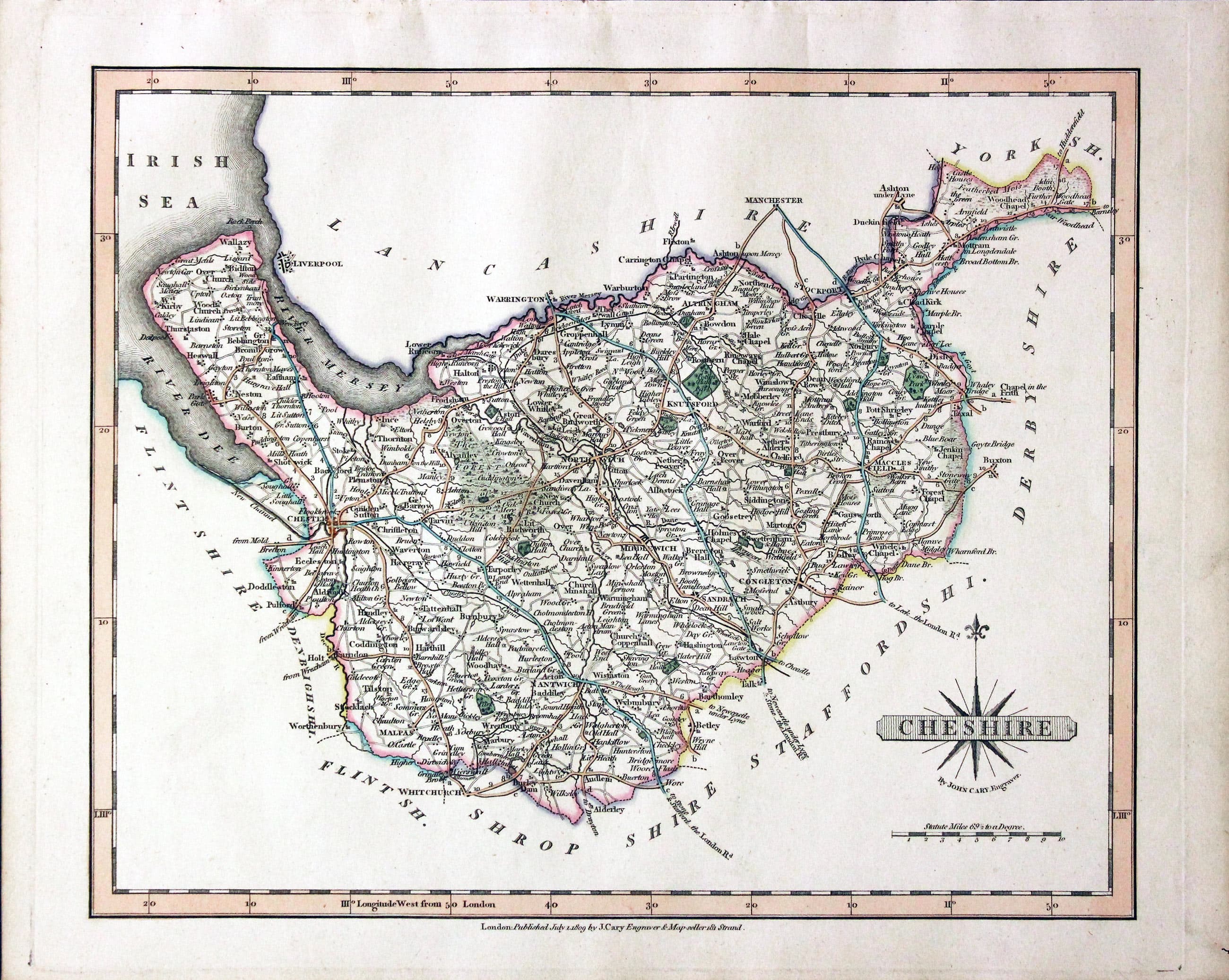
Map of Cheshire by John Cary
-

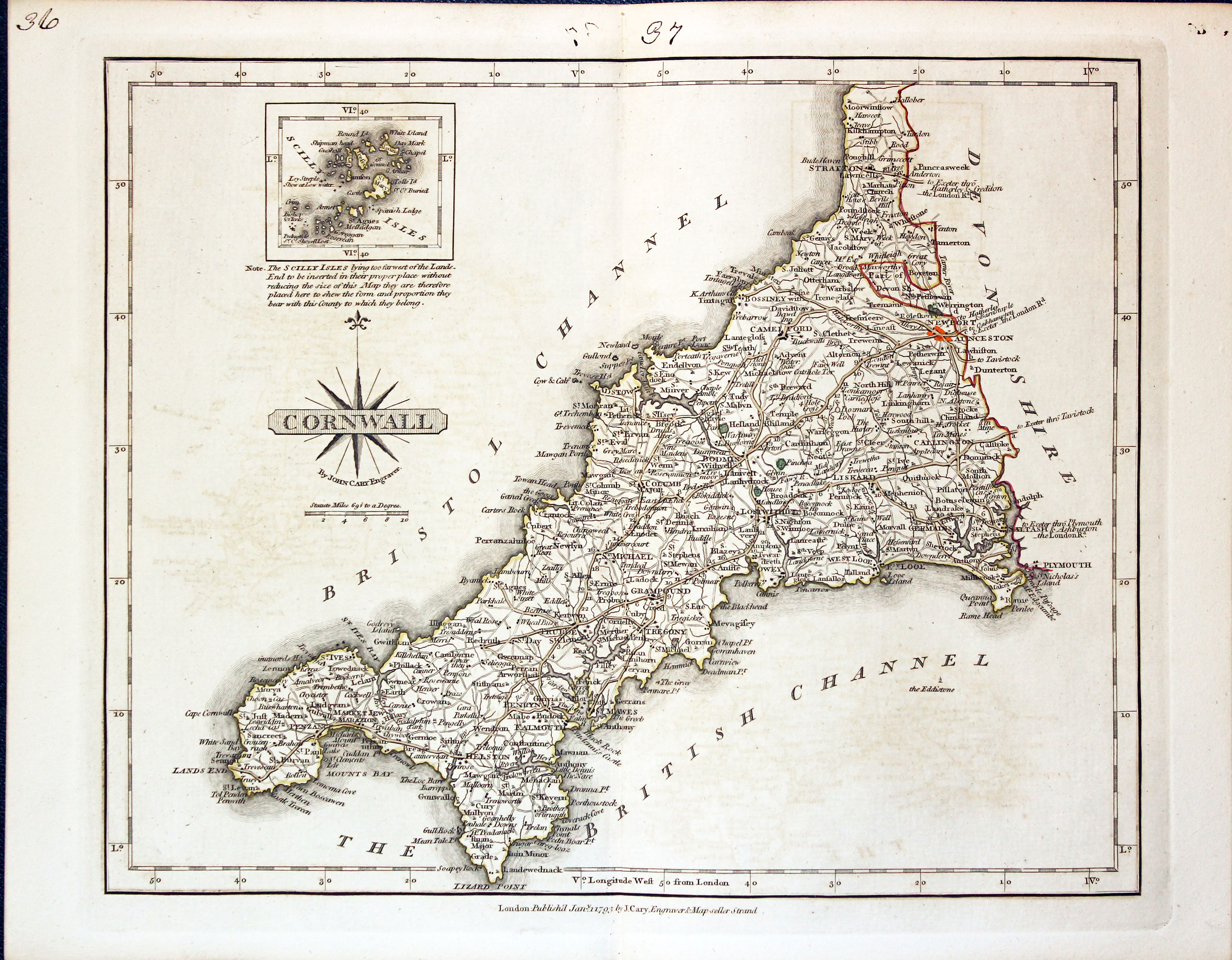
Map of Cornwall by John Cary
-

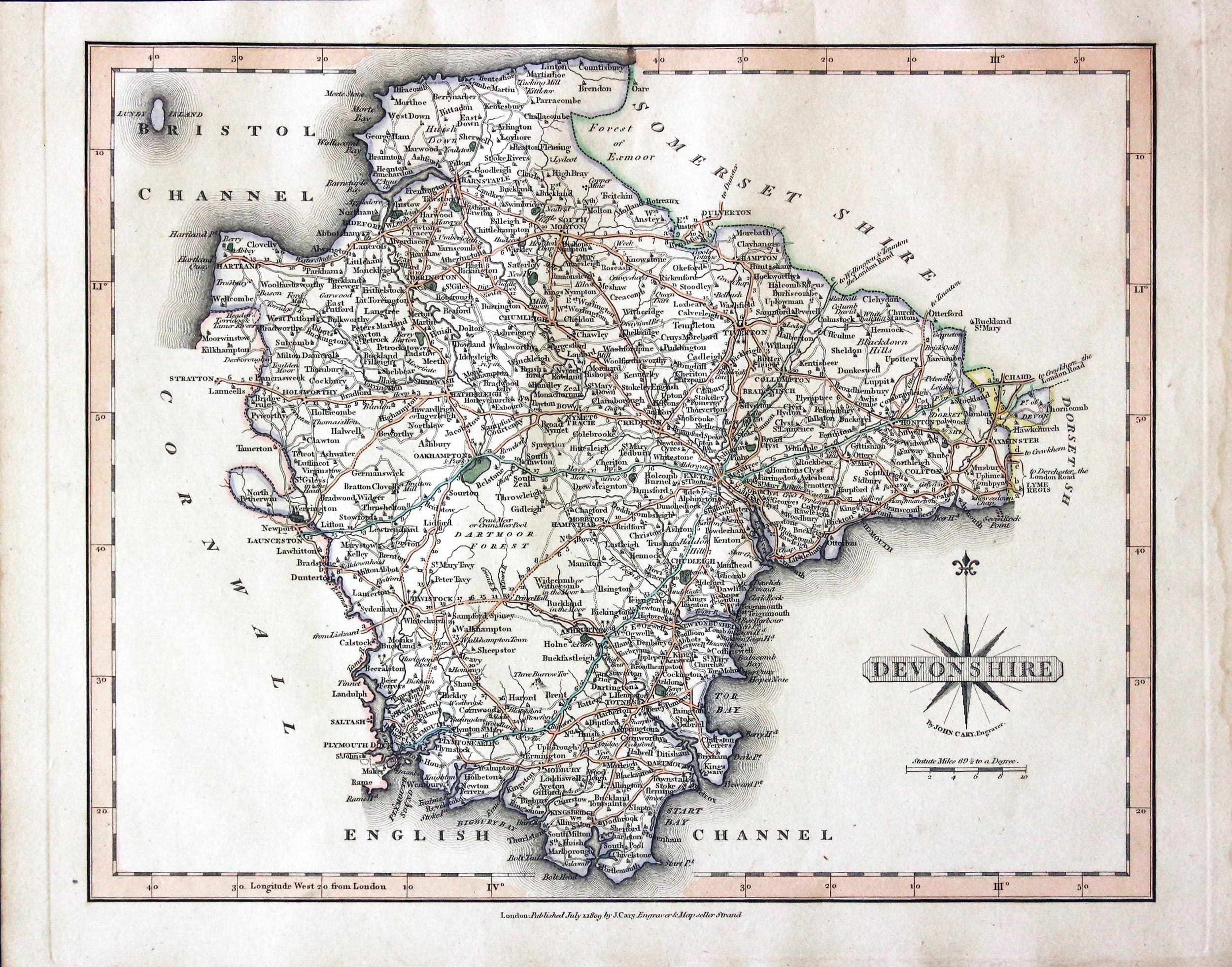
Map of Devon by John Cary
-
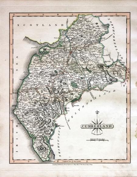
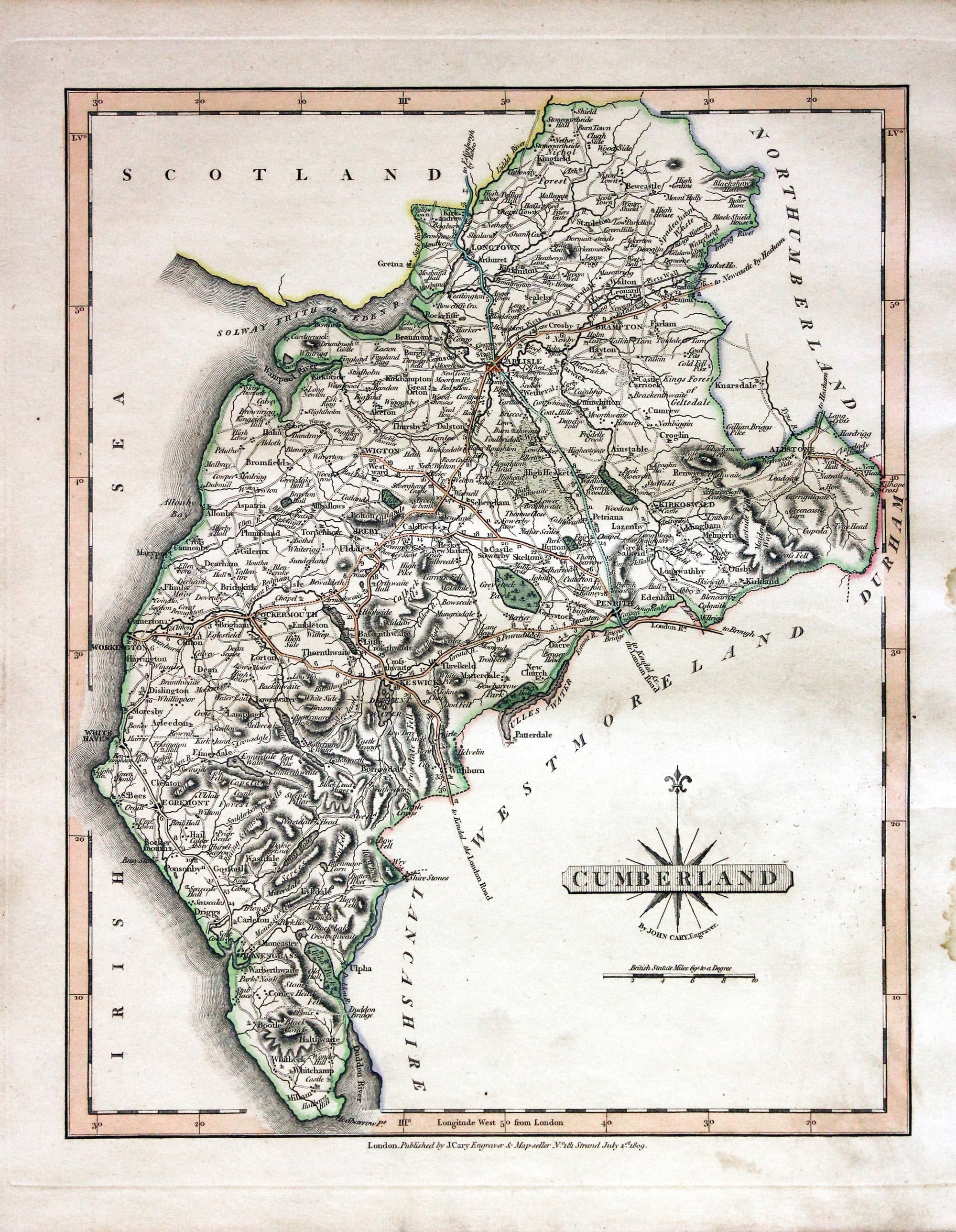
Map of Cumberland by John Cary
-

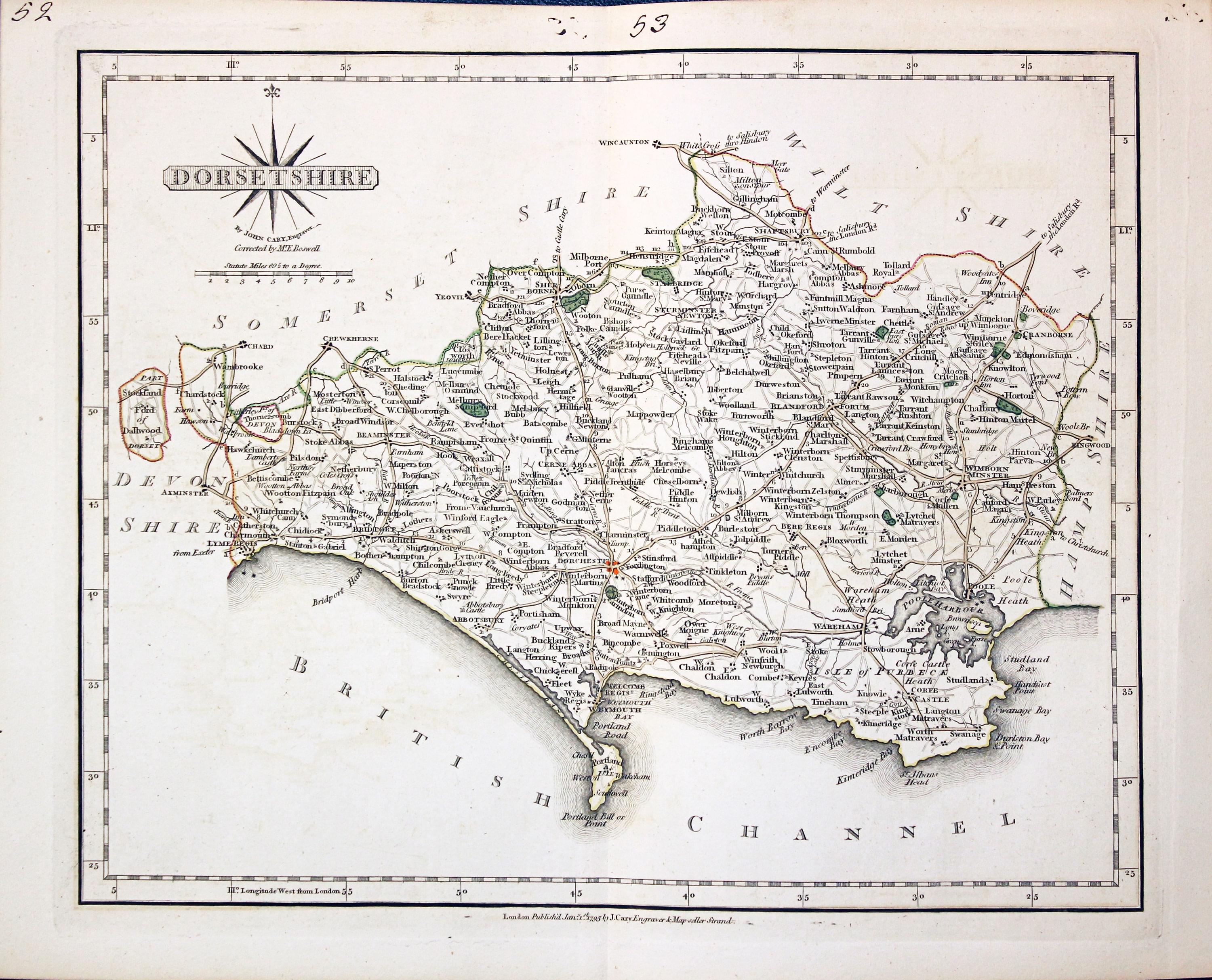
Map of Dorset by John Cary
-

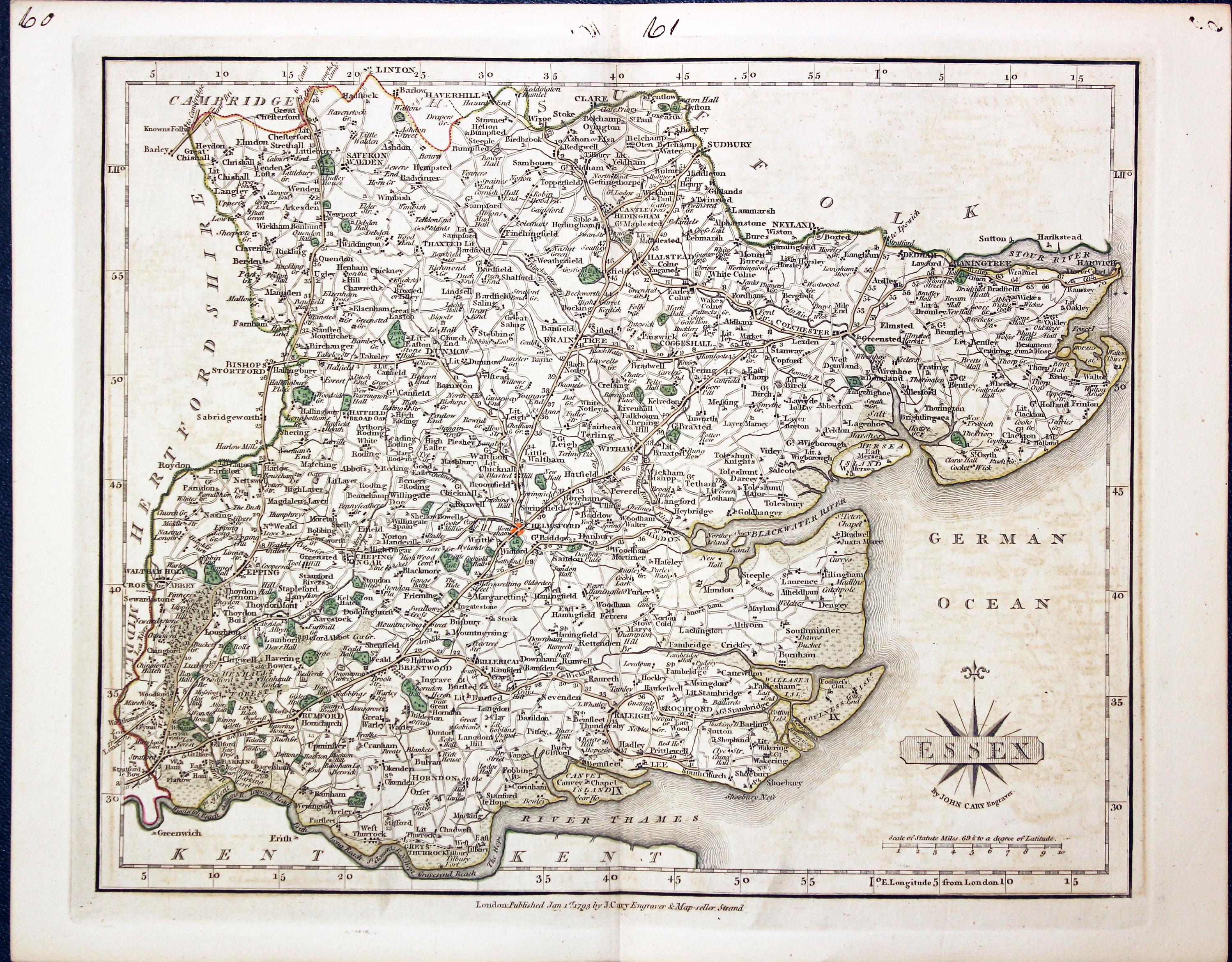
Map of Essex by John Cary
-

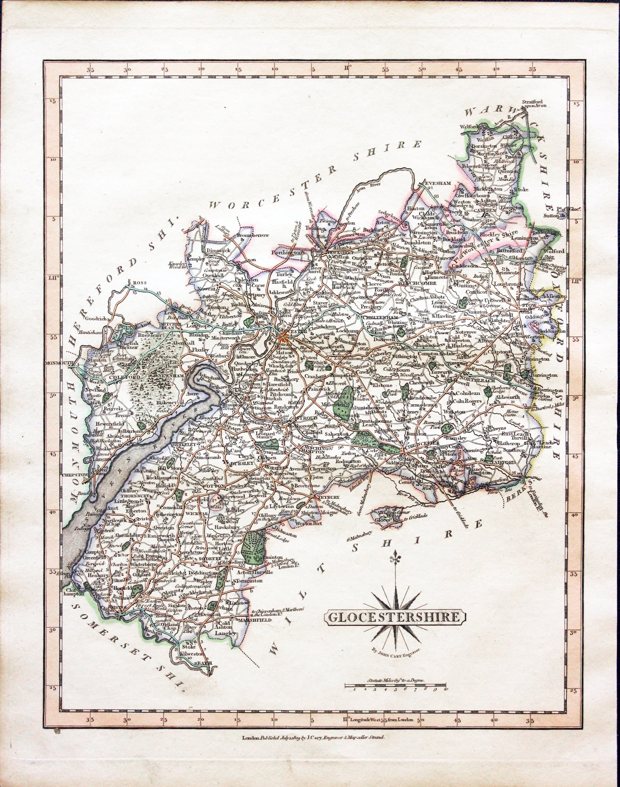
Map of Gloucestershire by John Cary
-

Map of Hampshire by John Cary
-

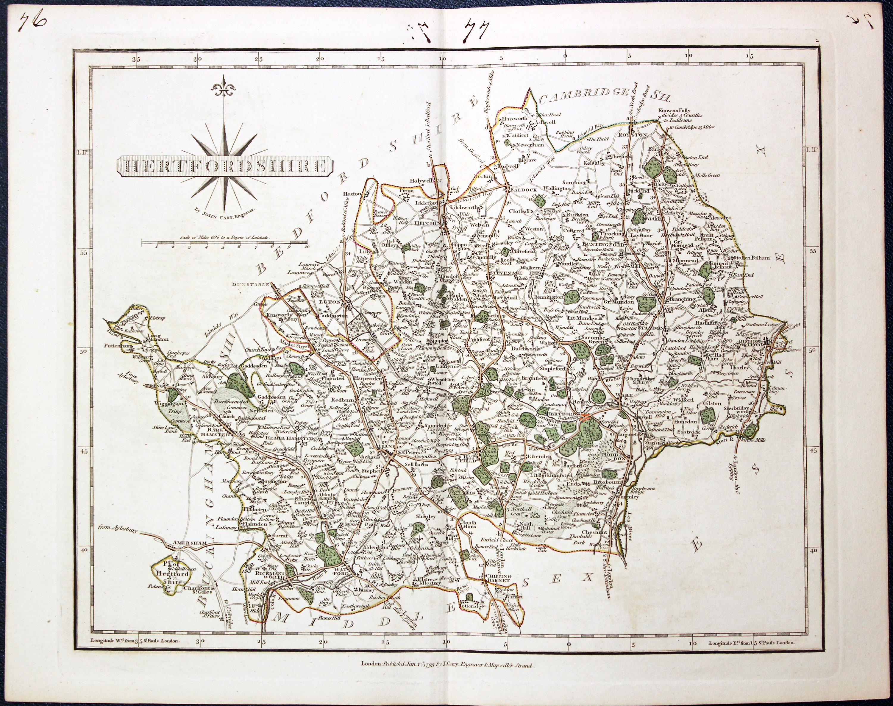
Map of Hertfordshire by John Cary
-

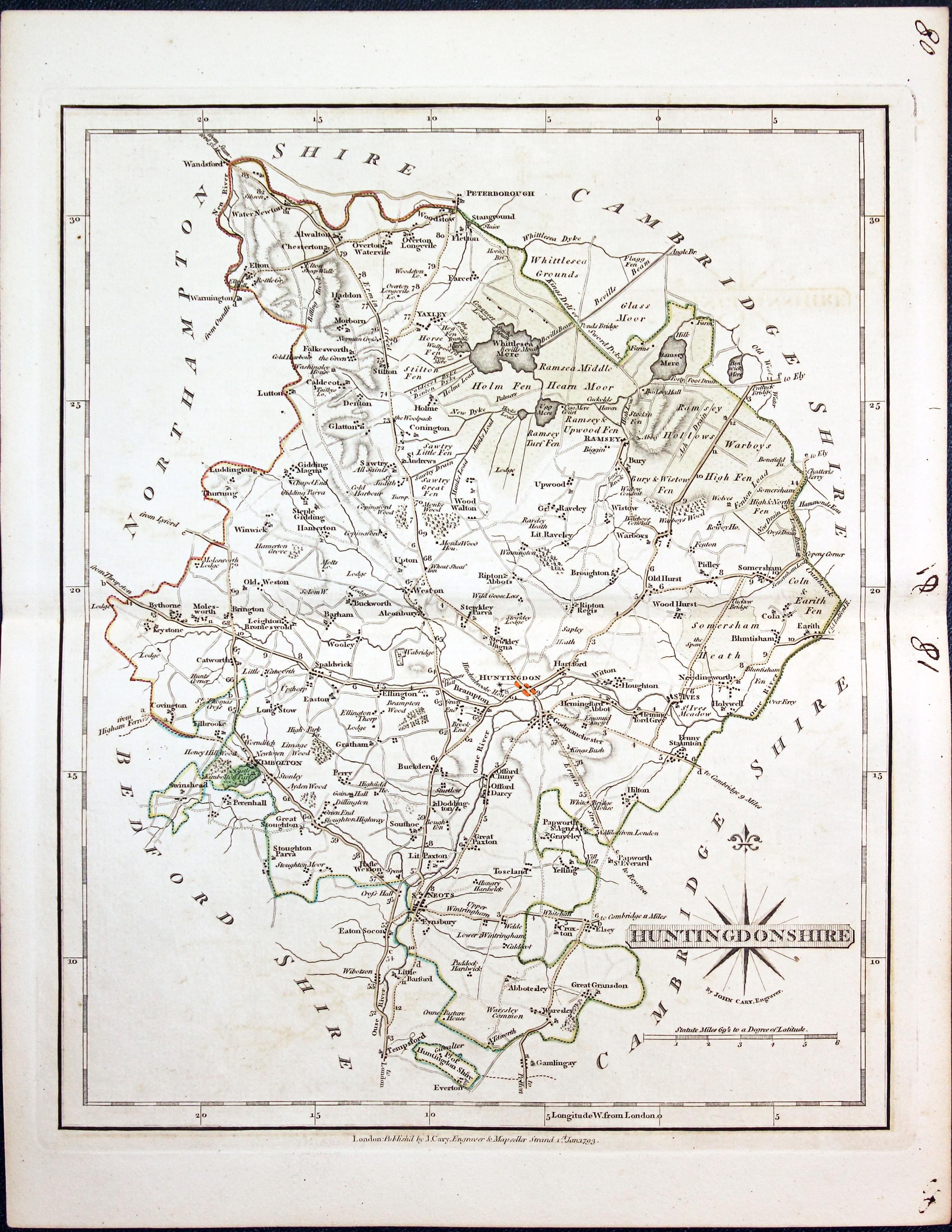
Map of Huntingdonshire by John Cary
-

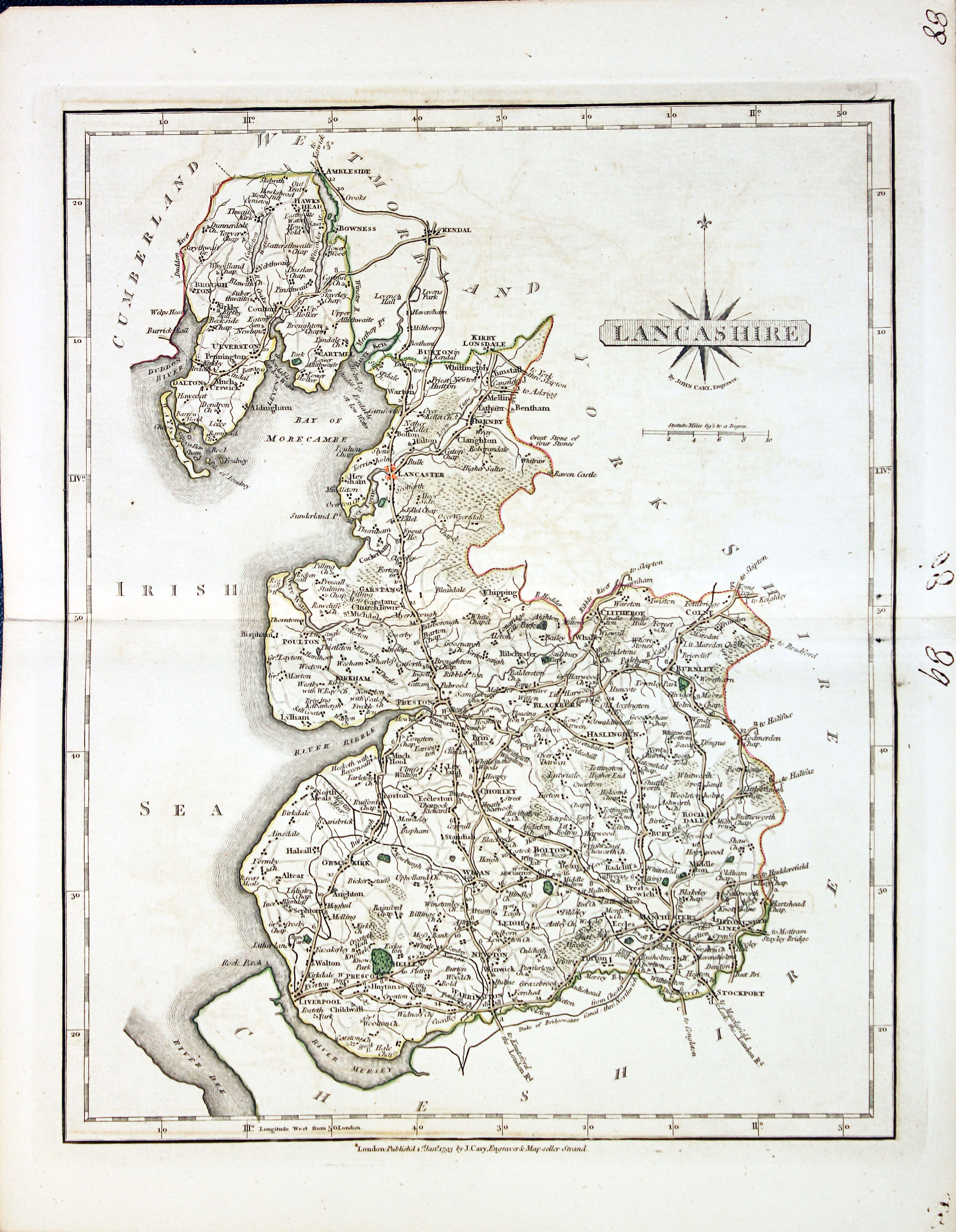
Map of Lancashire by John Cary
-

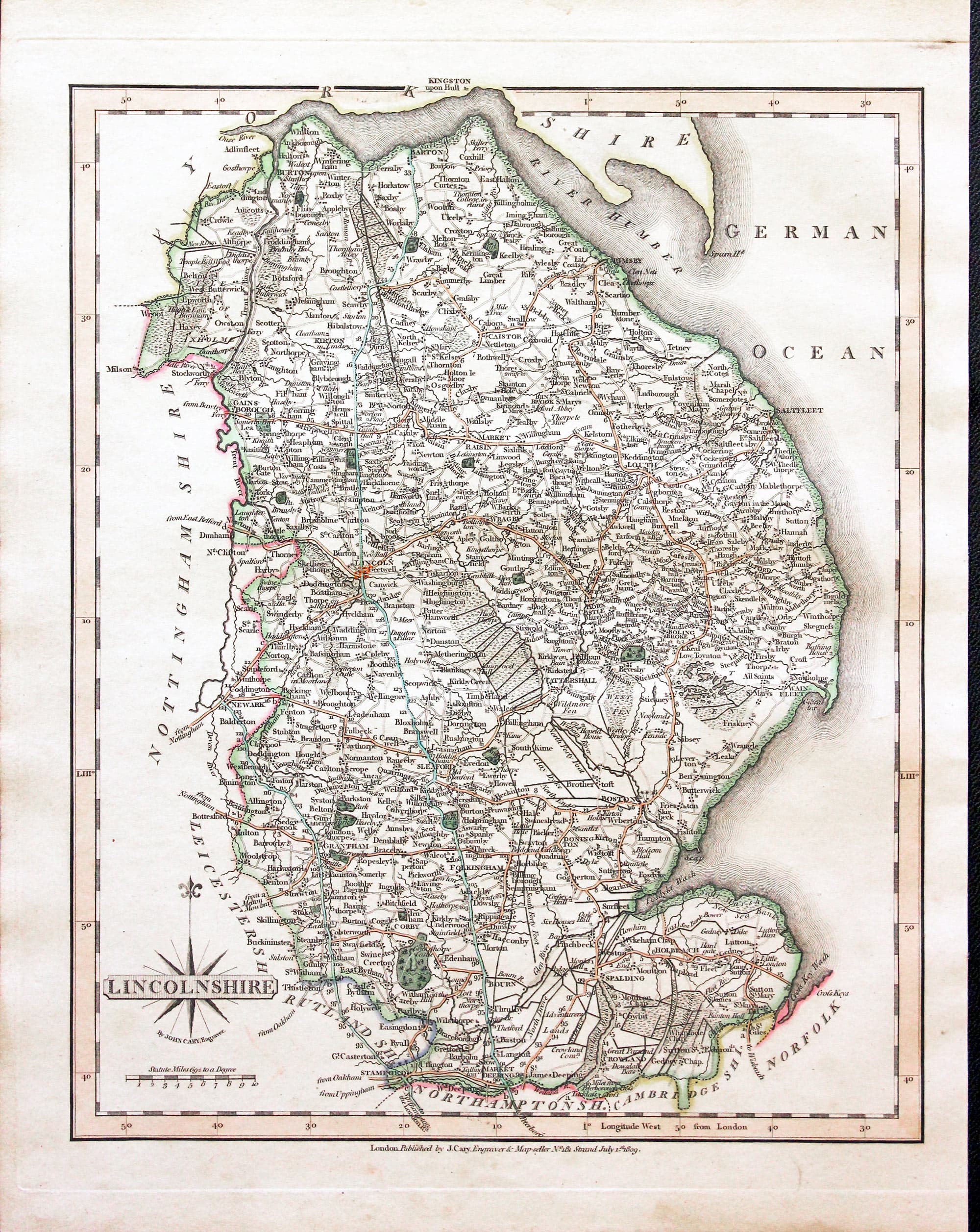
Map of Lincolnshire by John Cary
-
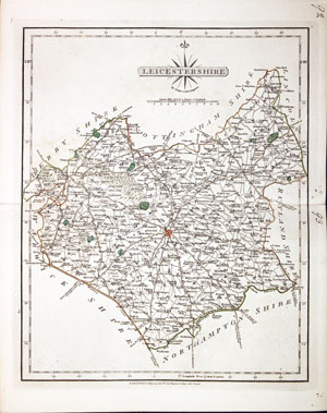
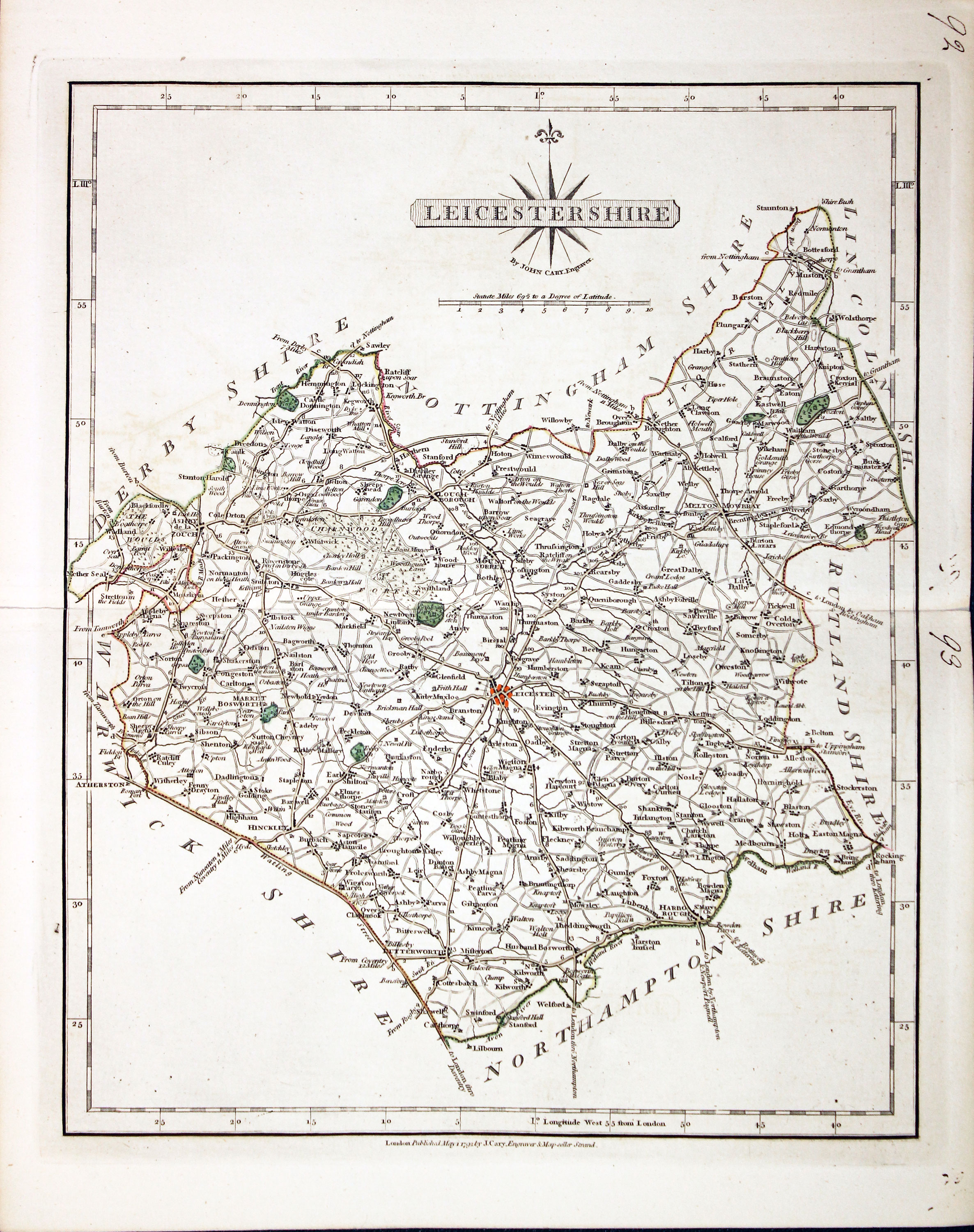
Map of Leicestershire by John Cary
-

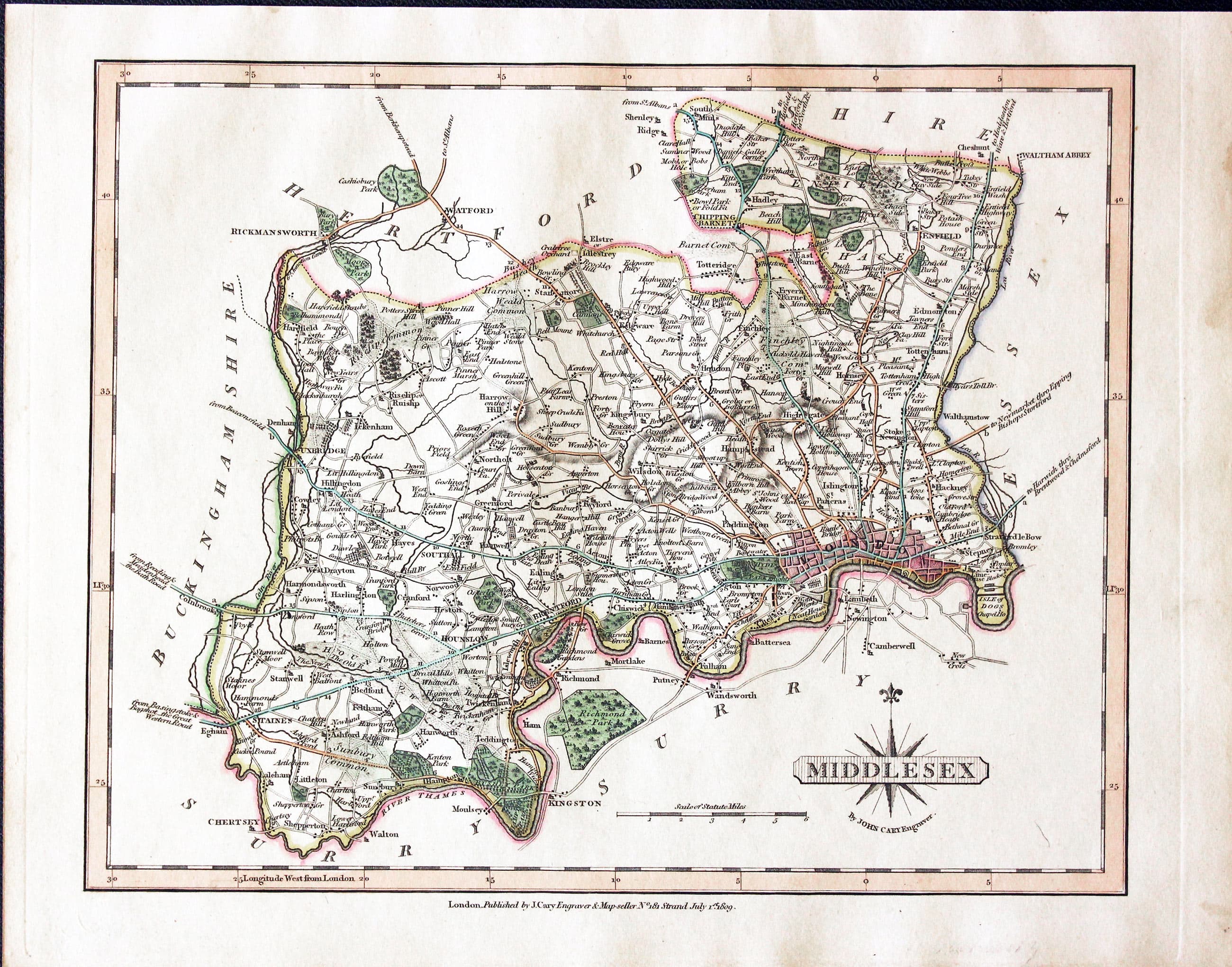
Map of Middlesex by John Cary
-

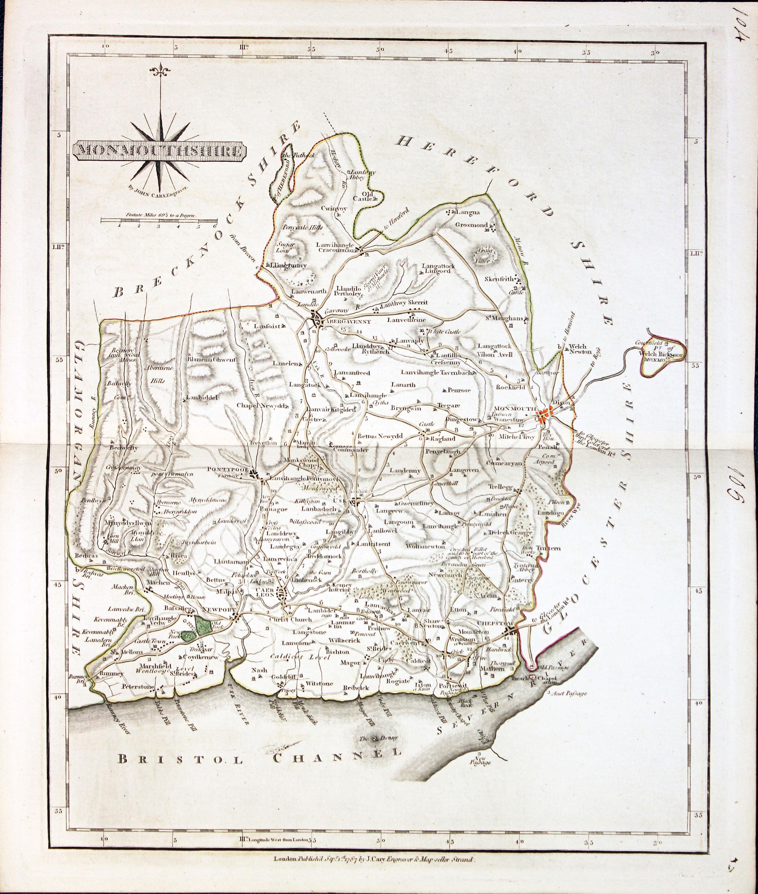
Map of Monmouthshire by John Cary
-
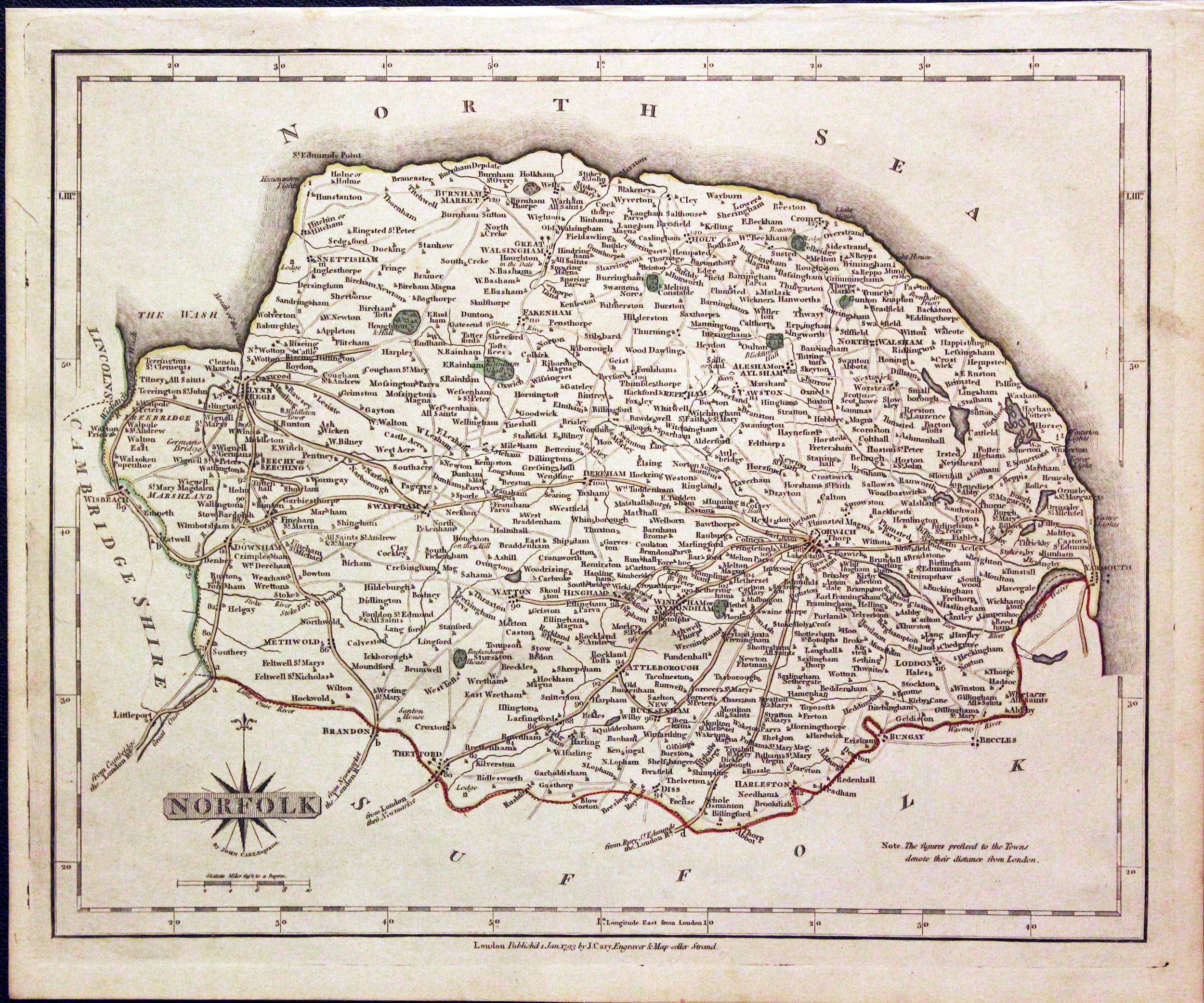
Map of Norfolk by John Cary
-

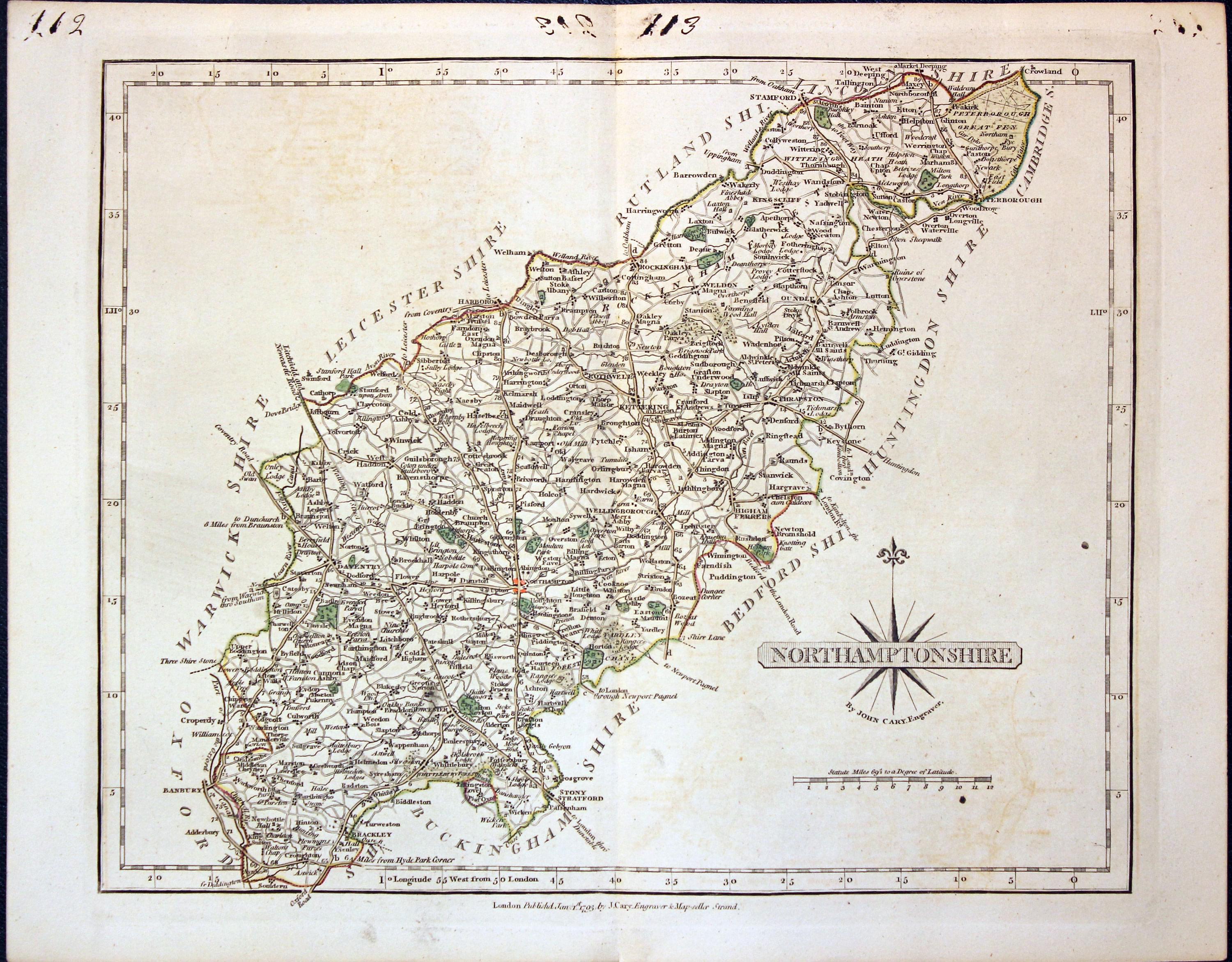
Map of Northamptonshire by John Cary
-

Map of Northumberland by John Cary
-

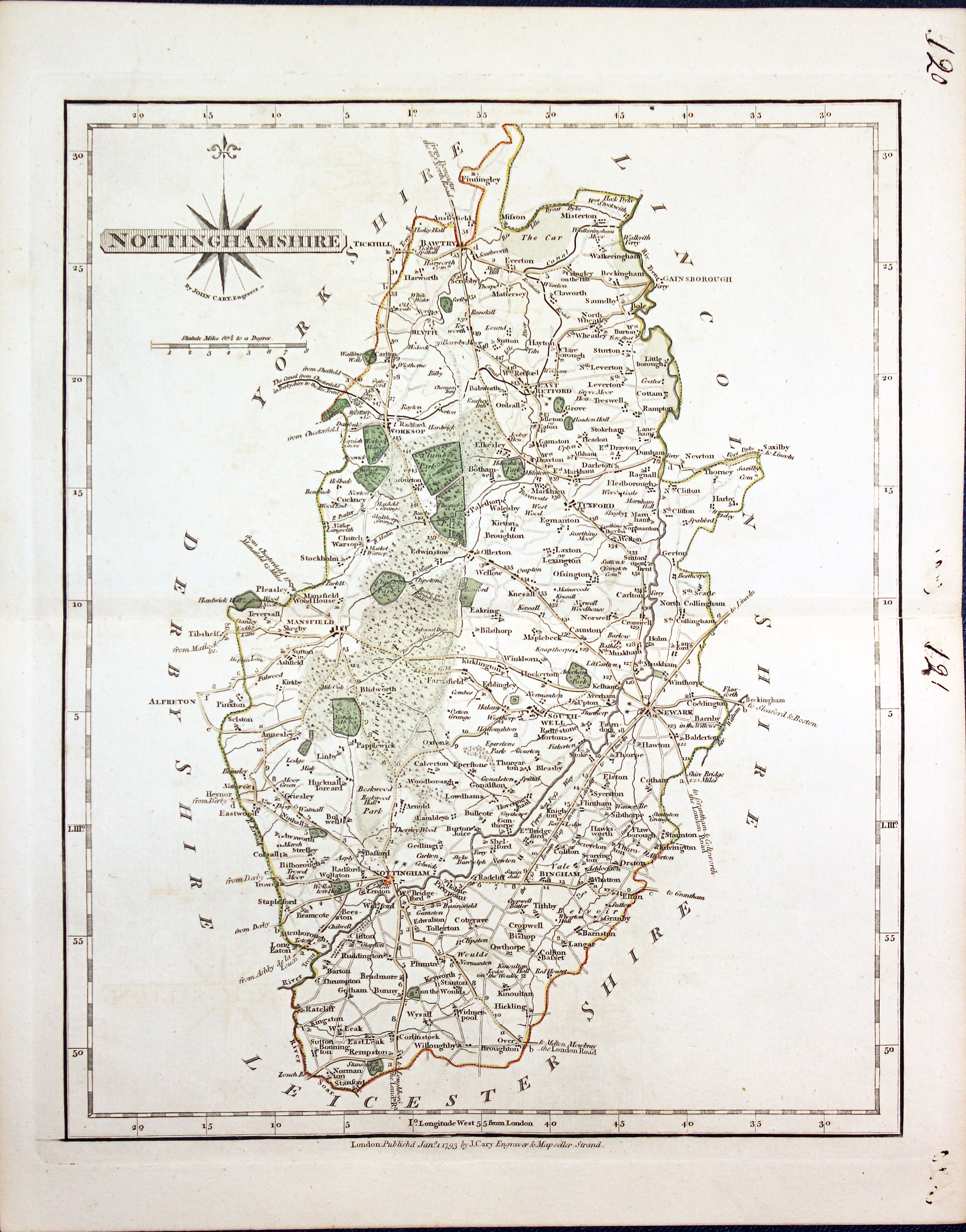
Map of Nottinghamshire by John Cary
-

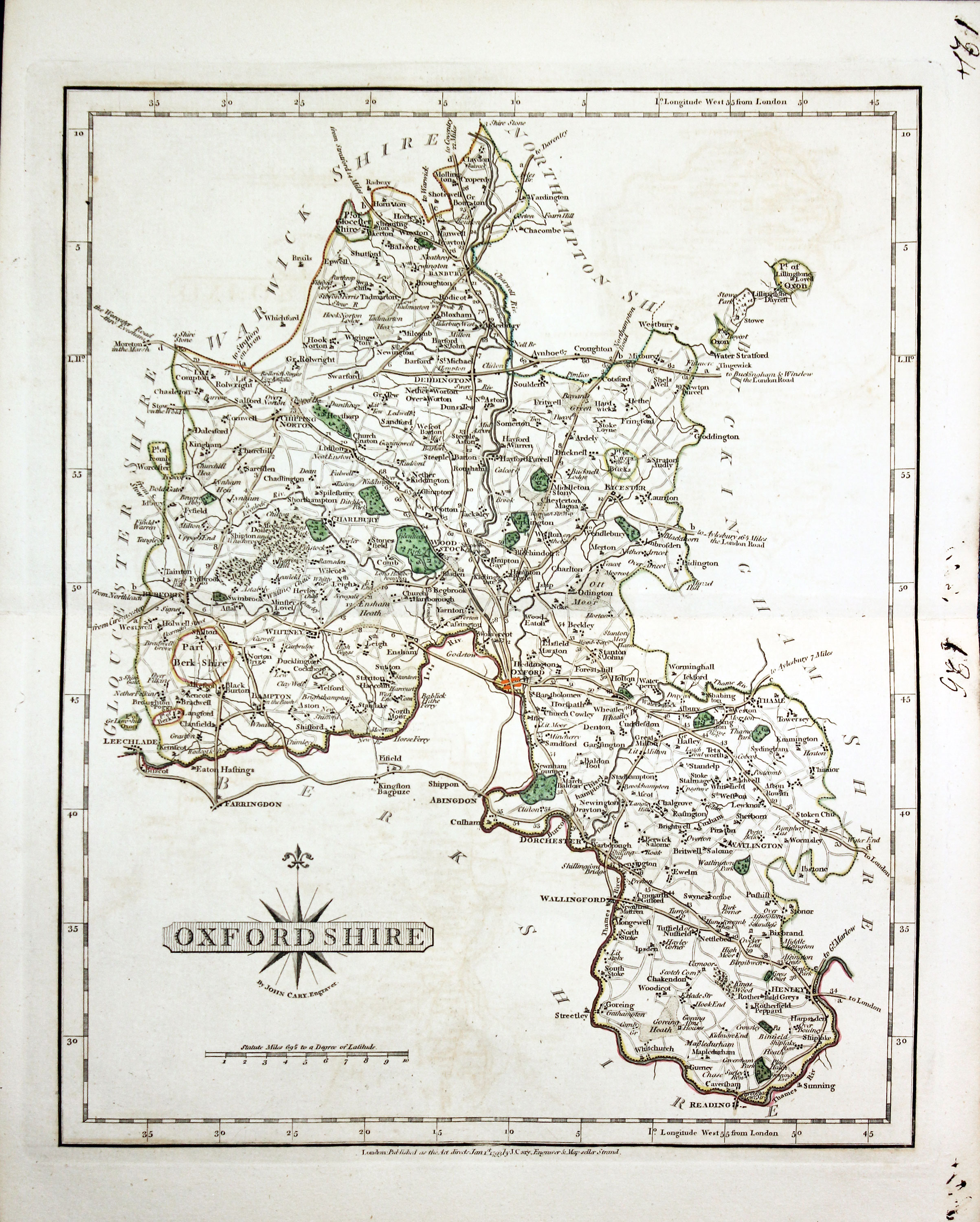
Map of Oxfordshire by John Cary
-

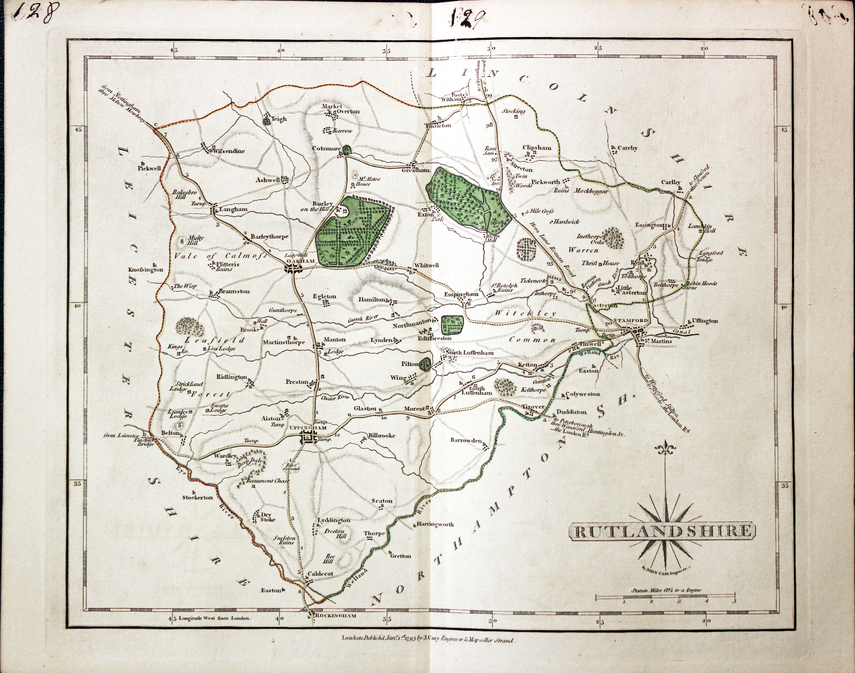
Map of Rutlandshire by John Cary
-

Map of Somerset by John Cary
-

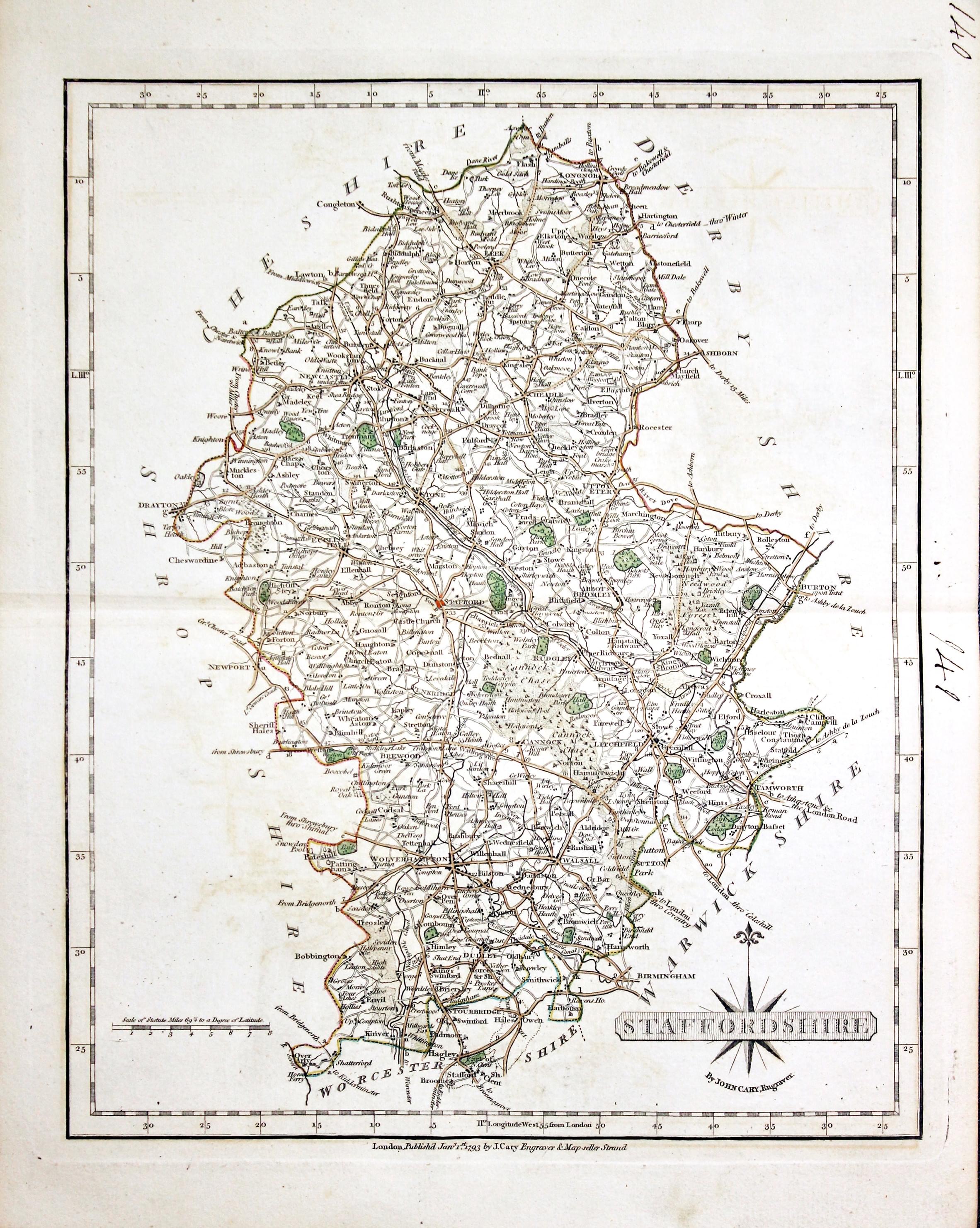
Map of Staffordshire by John Cary
-

Map of Surrey by John Cary
-

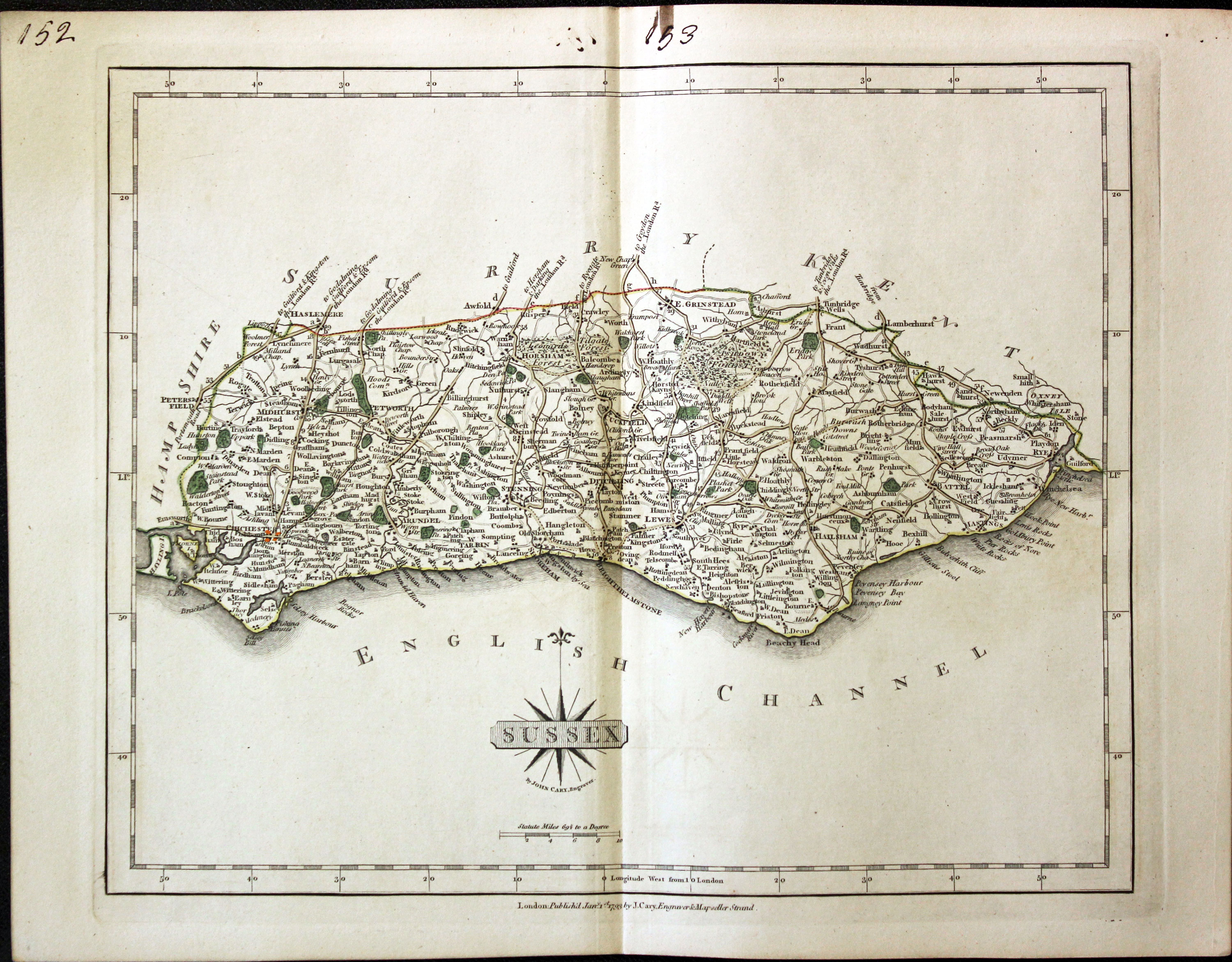
Map of Sussex by John Cary
-

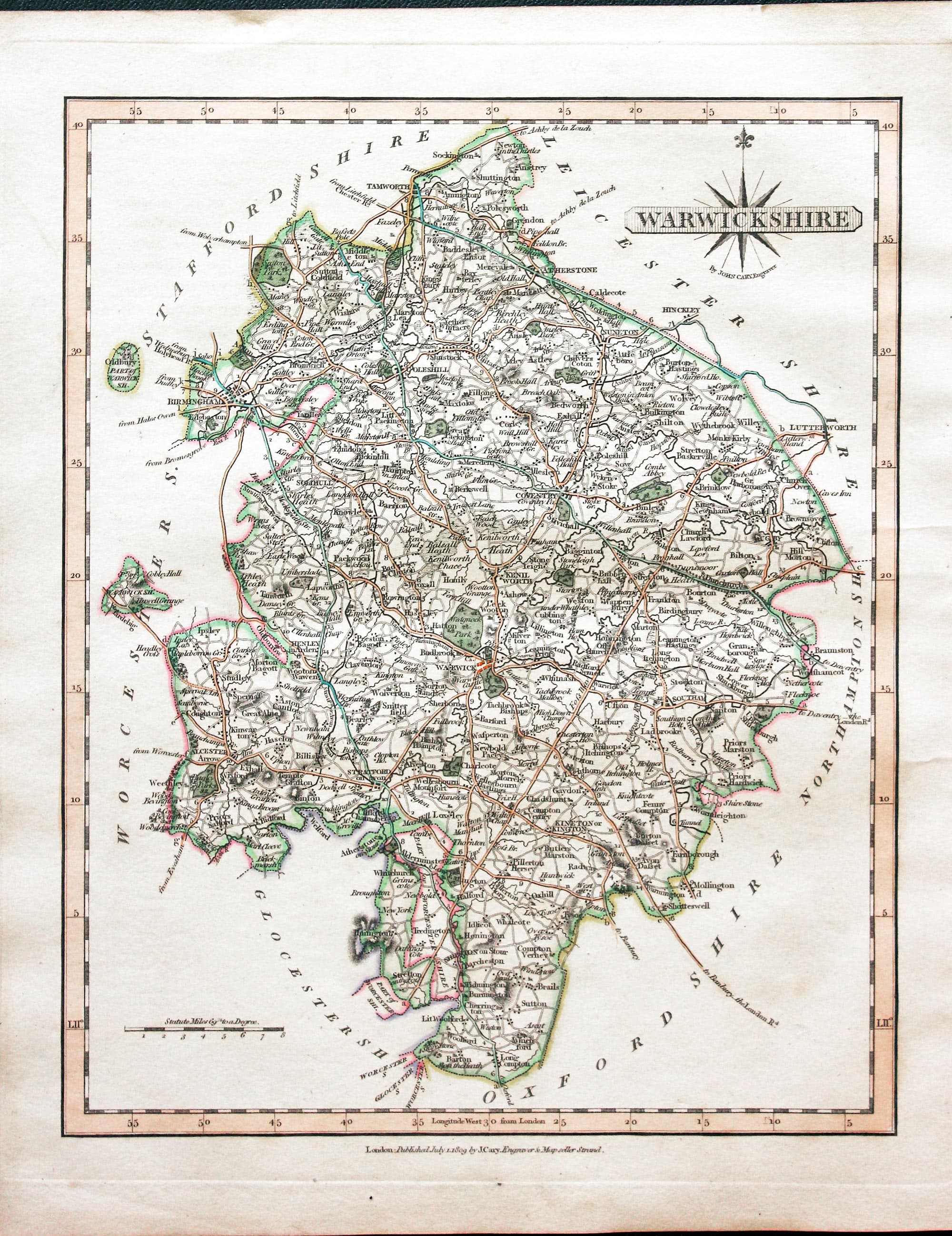
Map of Warwickshire by John Cary
-

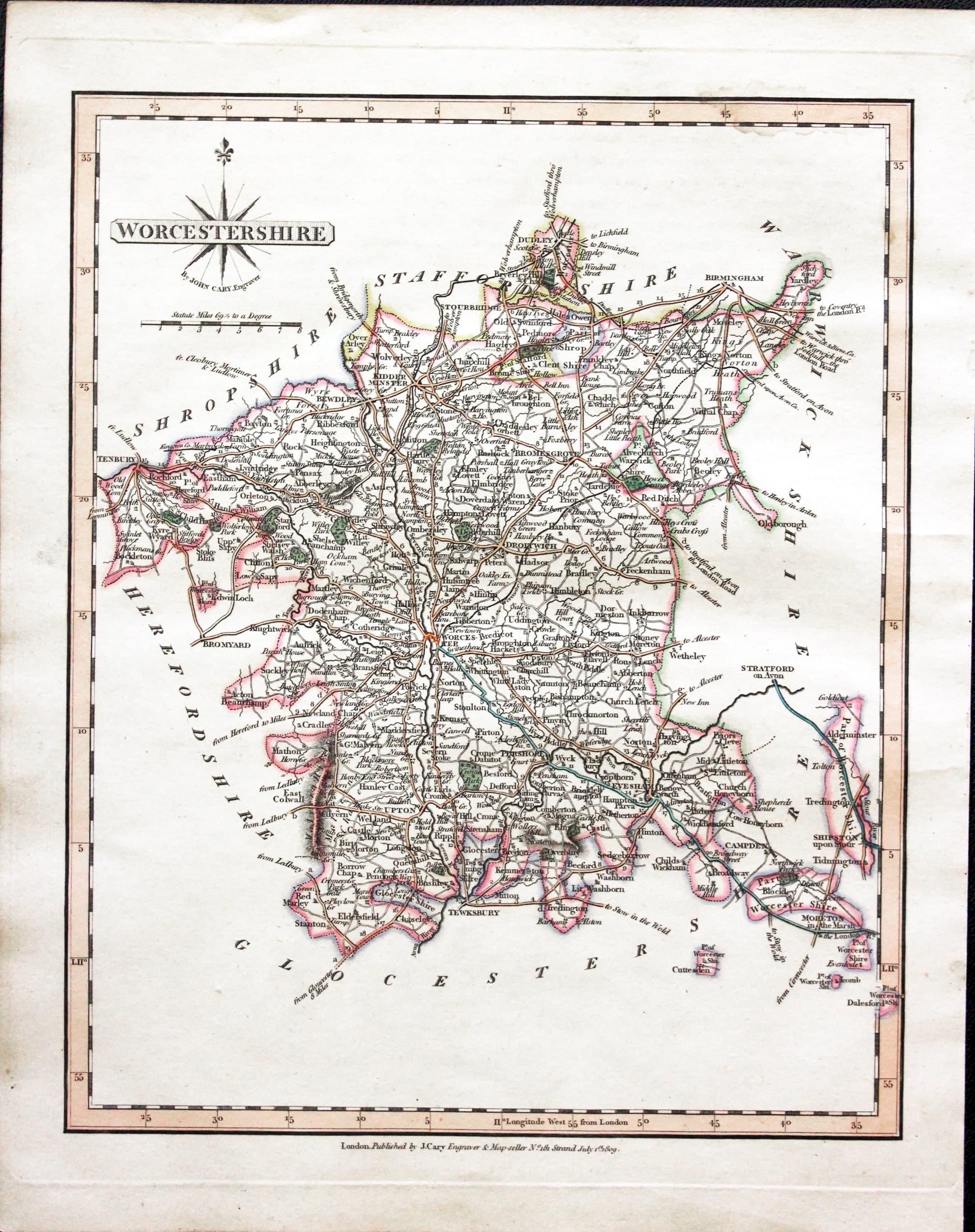
Map of Worcestershire by John Cary
-

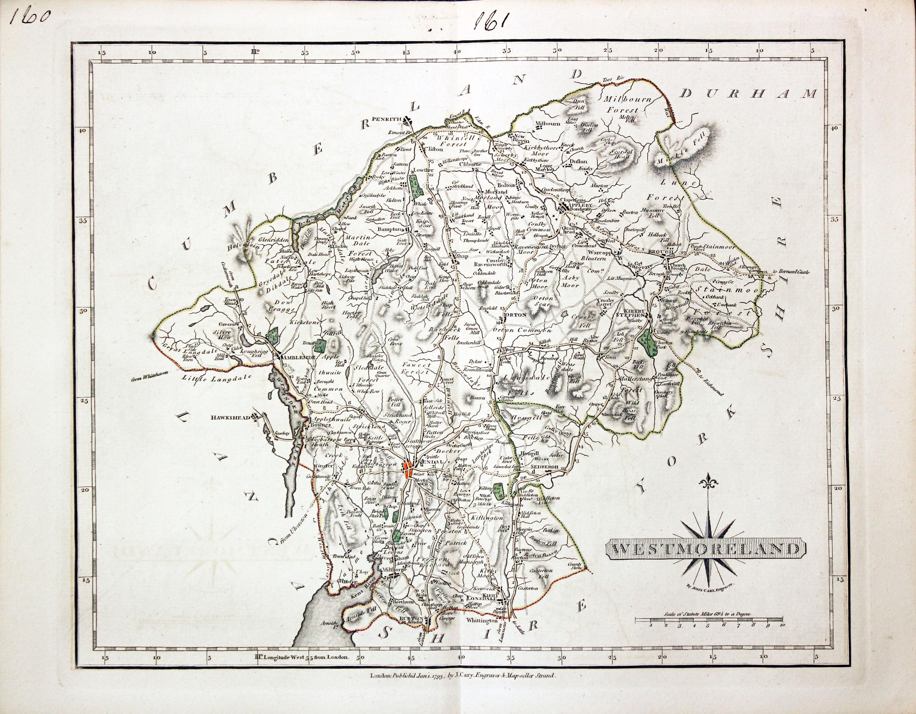
Map of Westmorland by John Cary 1793
-

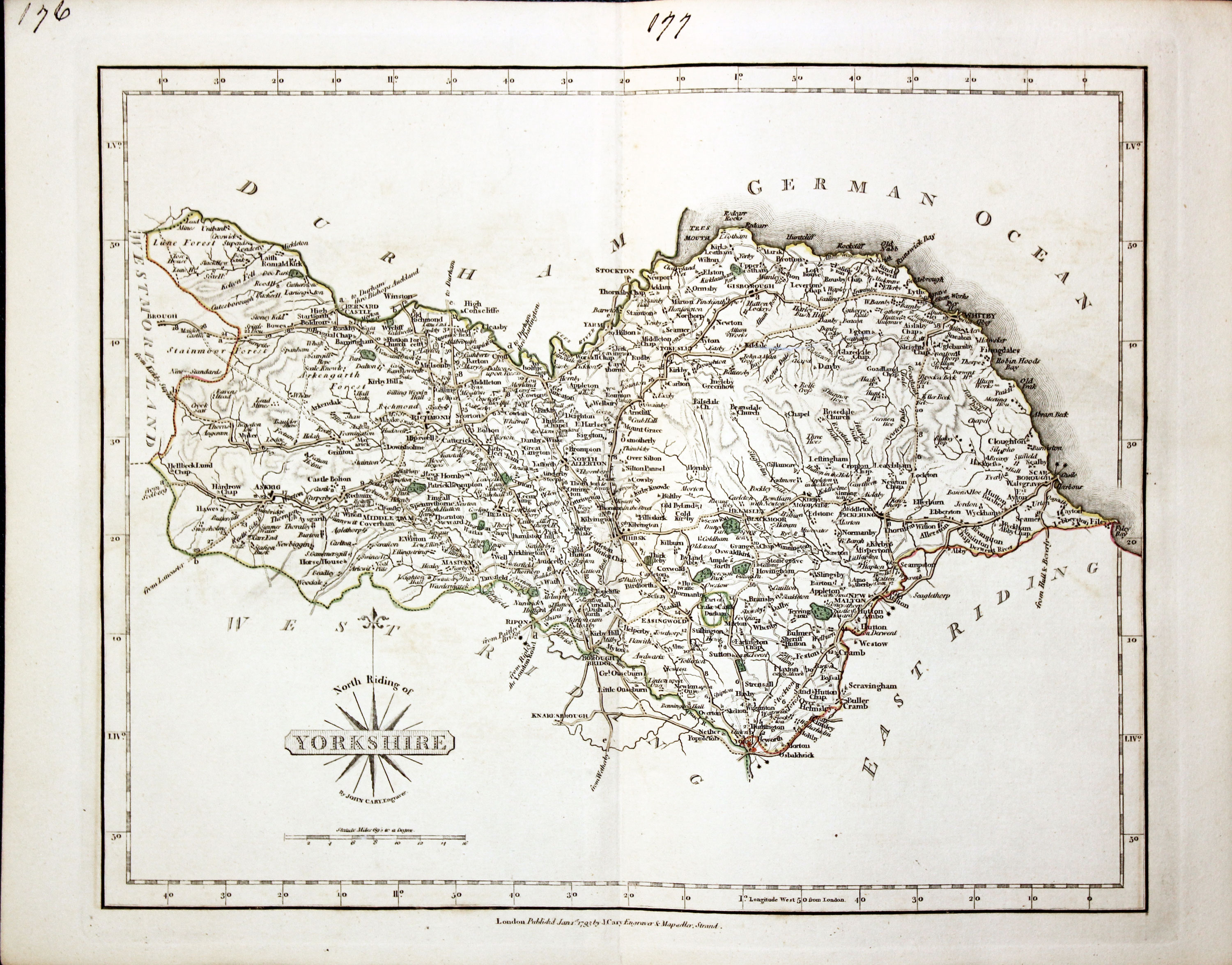
Map of Yorkshire North Riding 1793
-

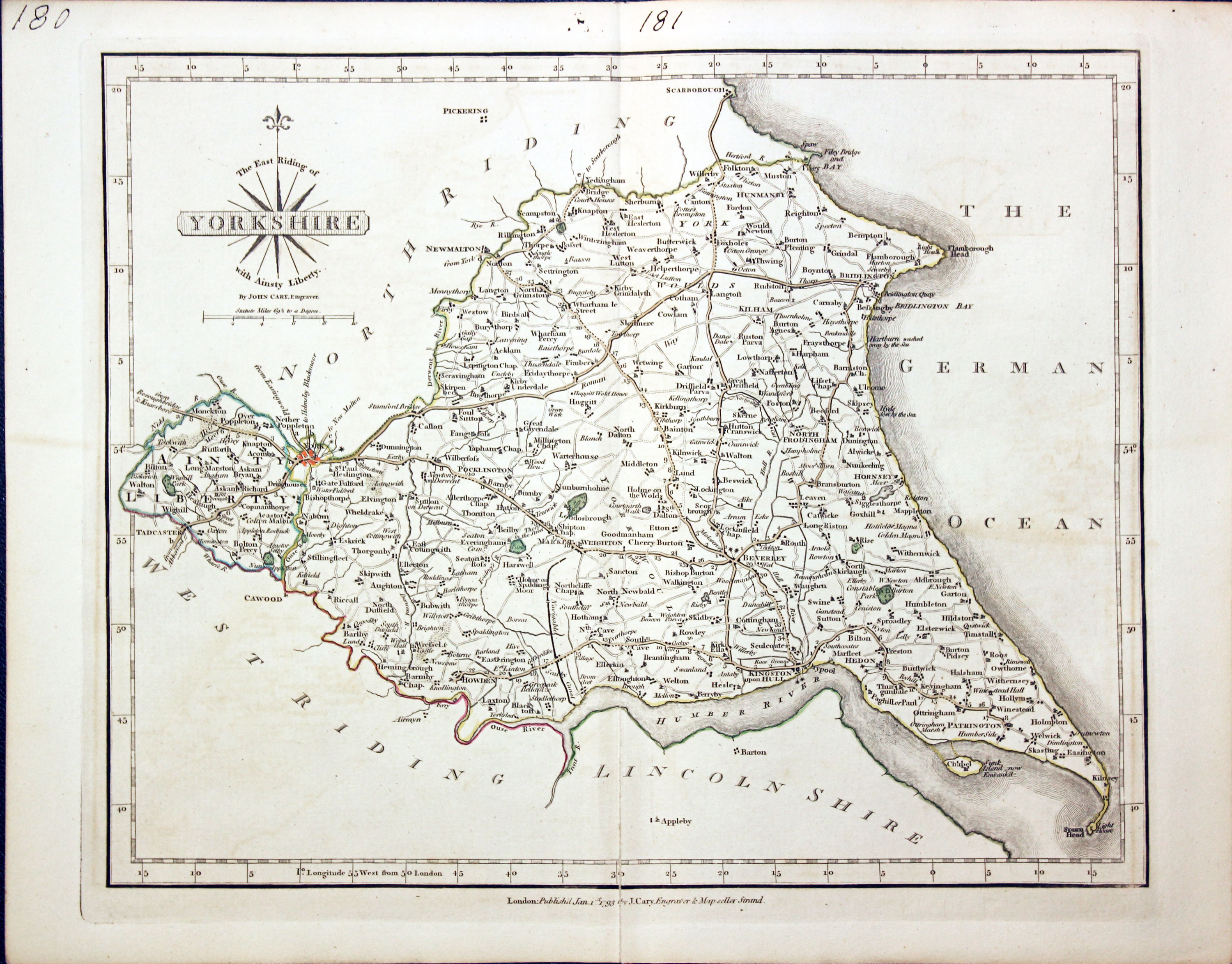
Map of Yorkshire East Riding by John Cary
-
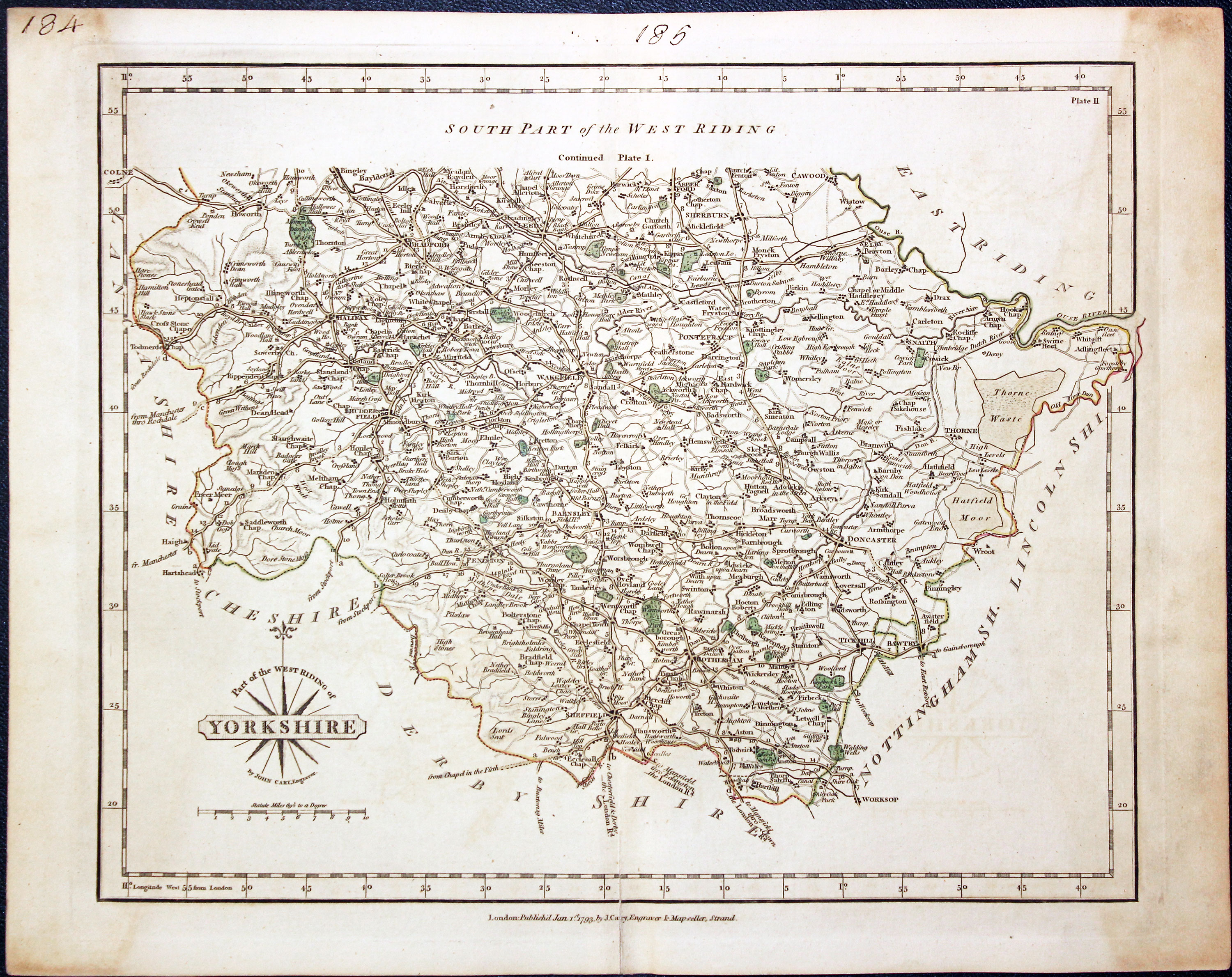
Map of the southern half of the West Riding of Yorkshire
-

Map of the northern half of the West Riding of Yorkshire
-
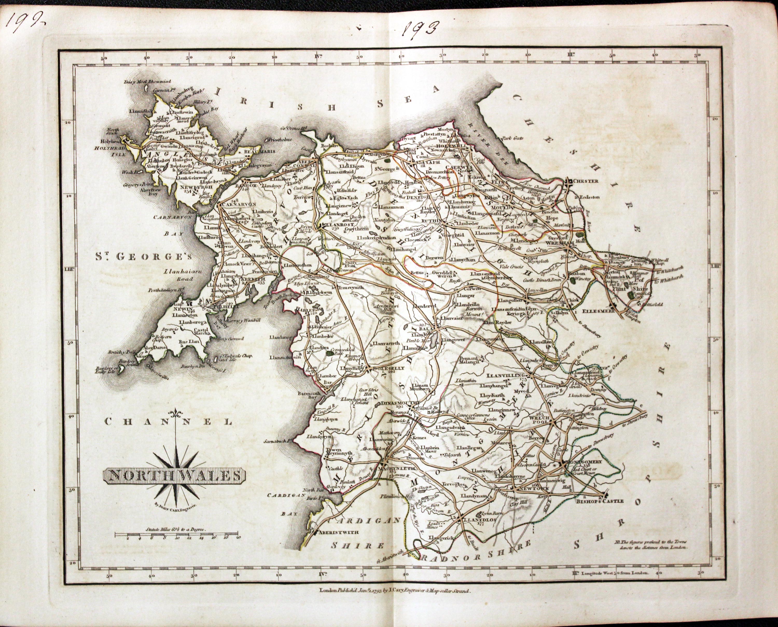
Map of North Wales by John Cary
Titlepages
-

-

Titlepage to first edition of New & Correct English Atlas by Joh Cary 1787
-

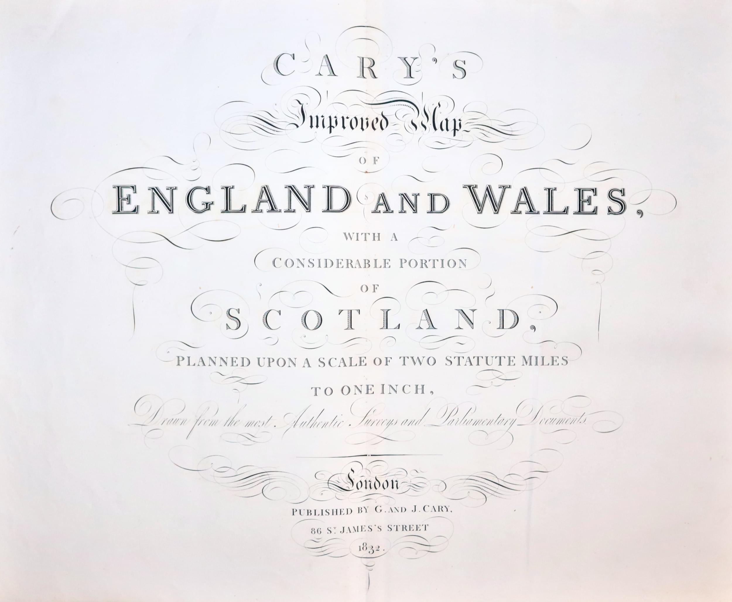
Titlepage to Cary's Improved Map of England and Wales 1832
For Sale
More Information to Come

