RICHARD NICHOLSON of CHESTER
A WORLD OF ANTIQUE MAPS AND PRINTS
The Cartographer
EDWARD LANGLEY
Who started in Dorking
Flourished 1800 - 1835
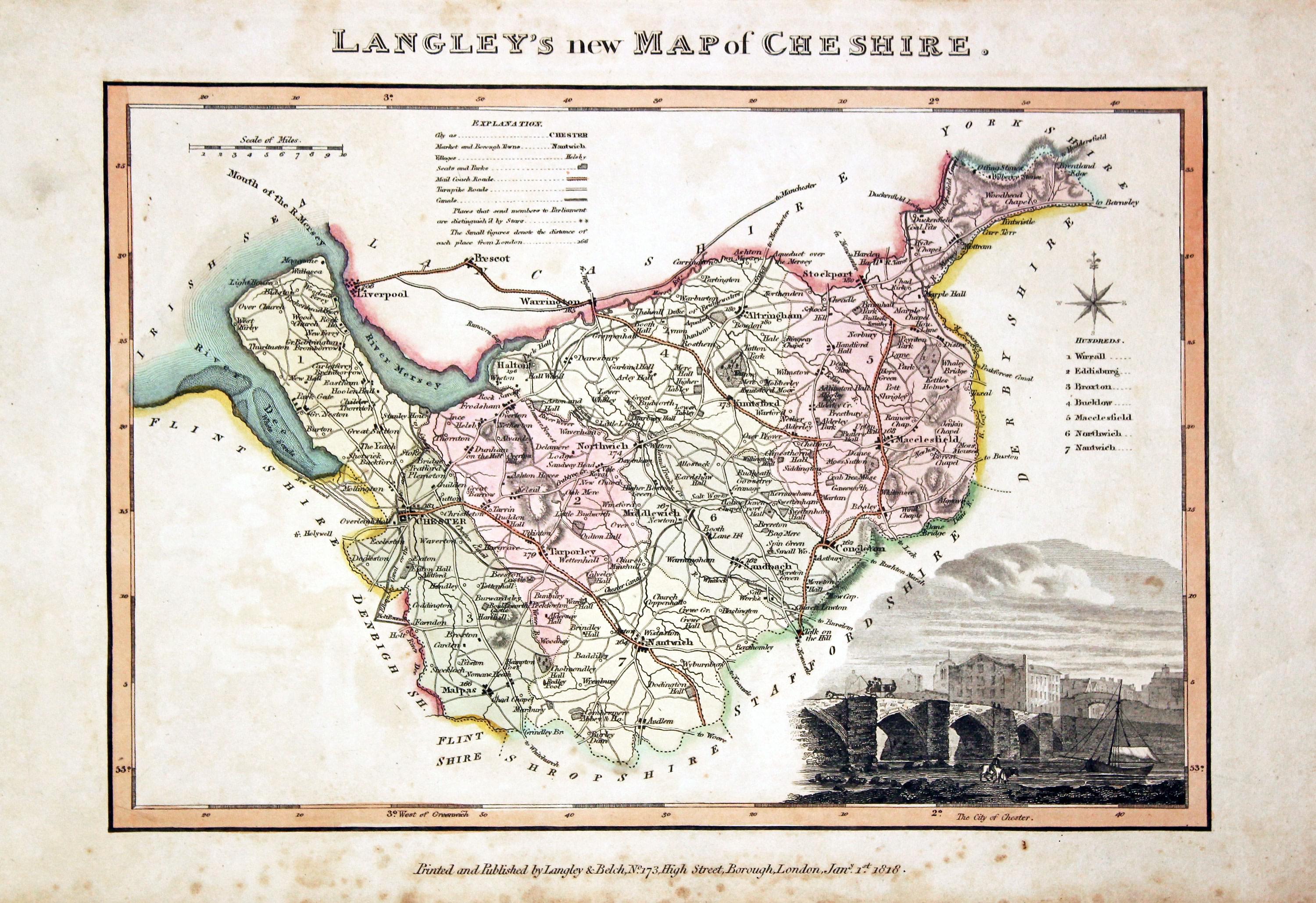
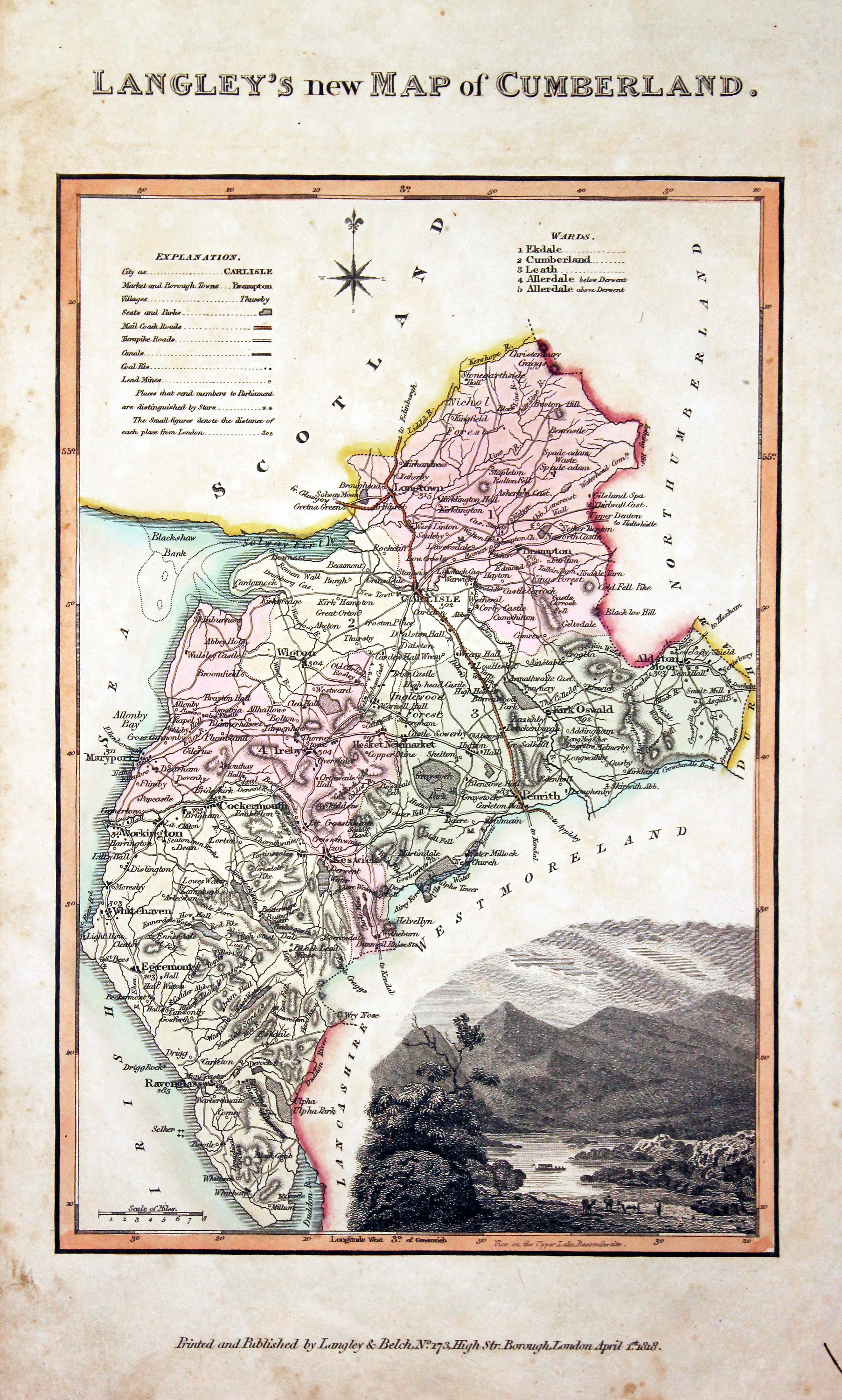
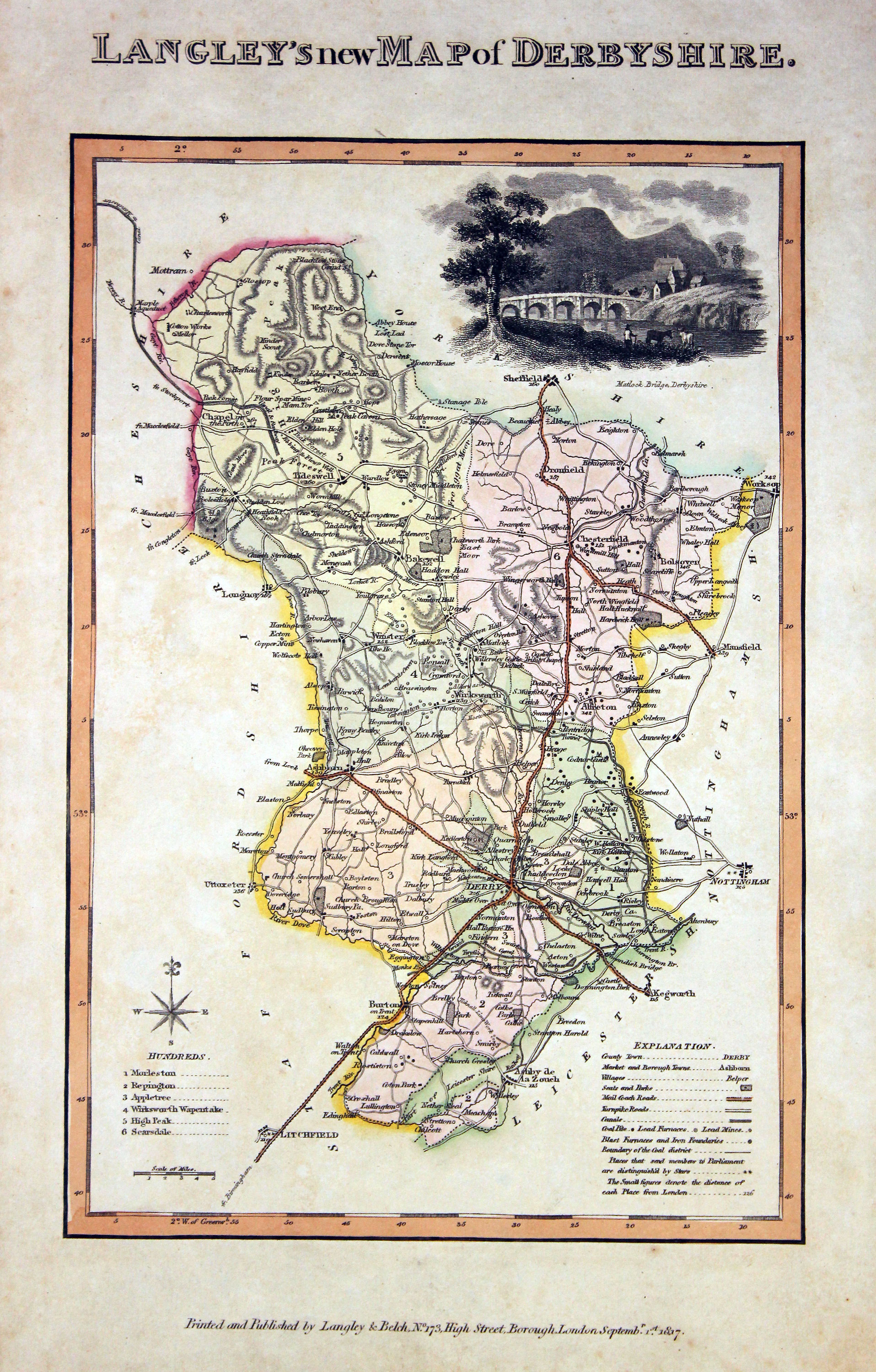
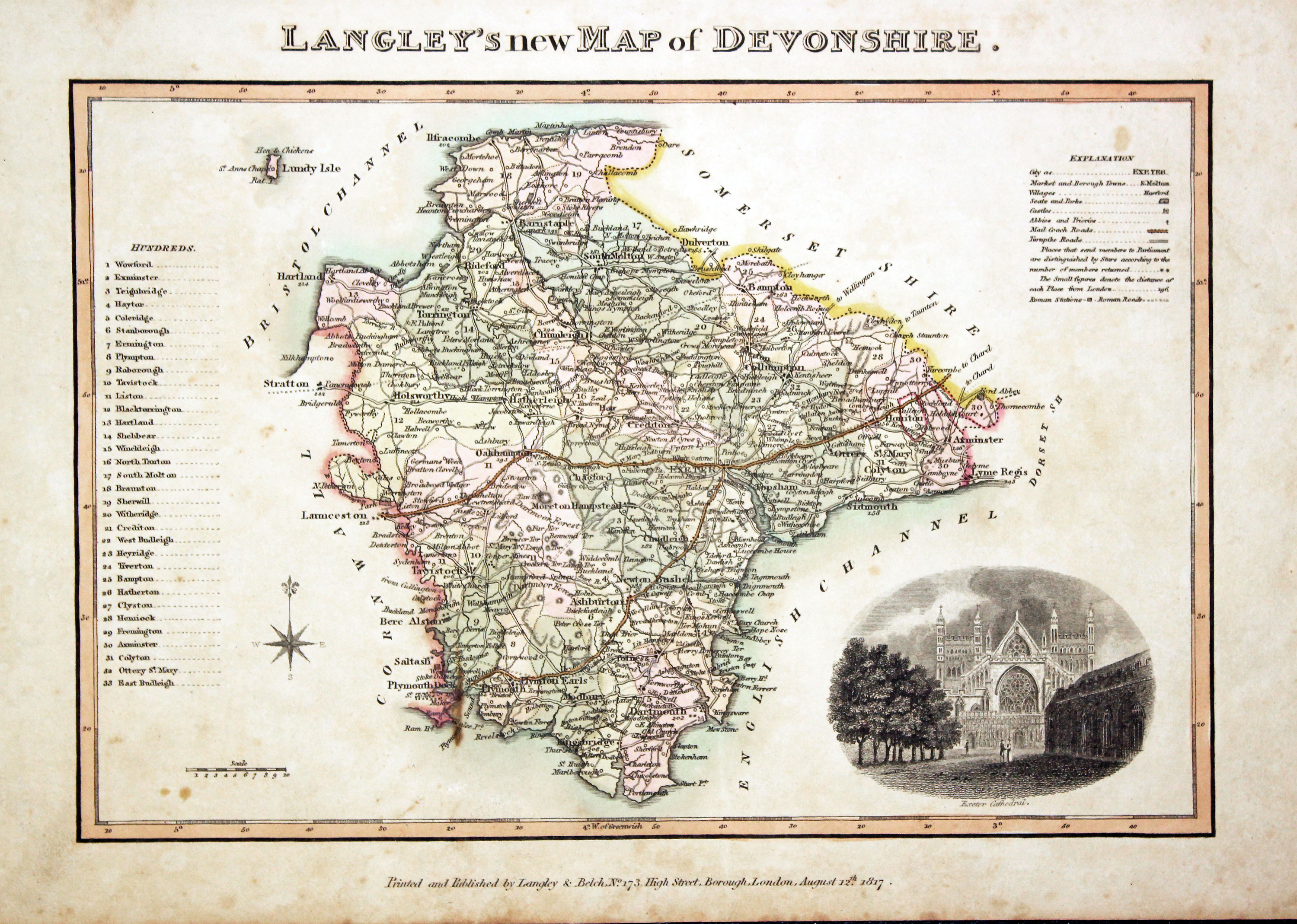
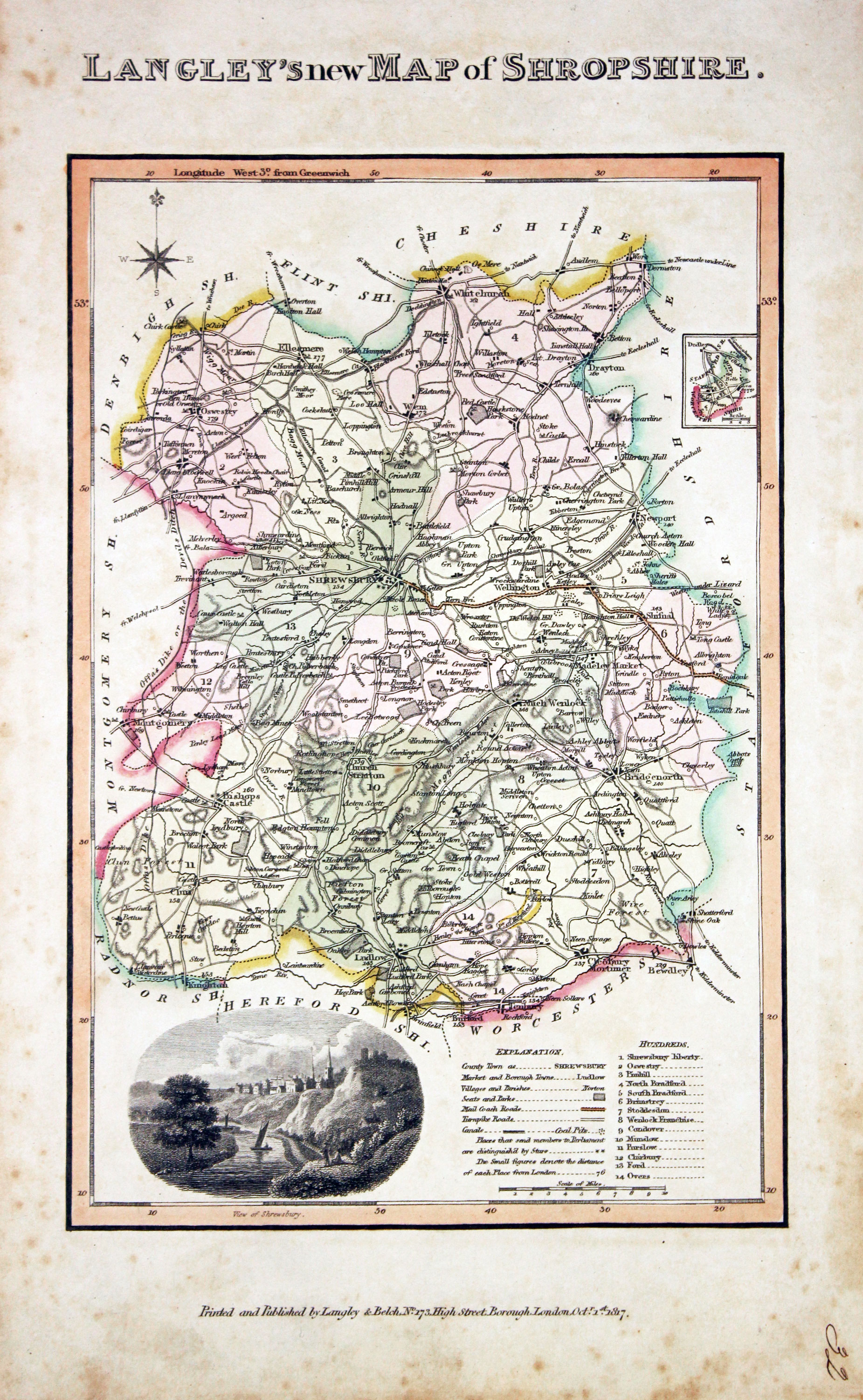
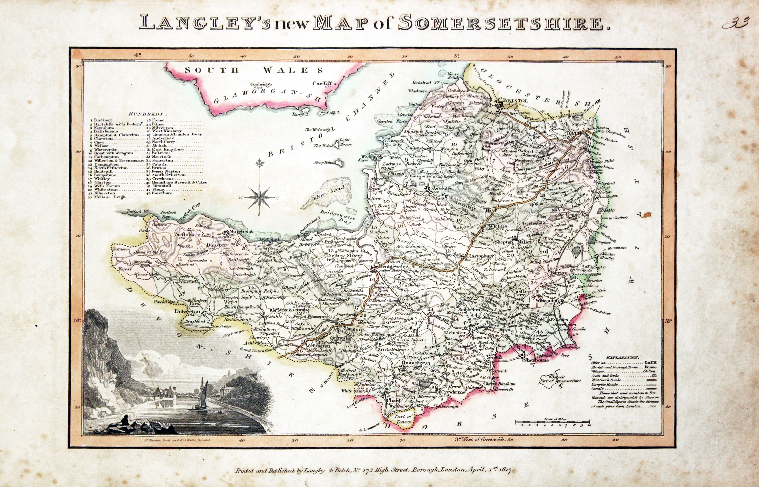
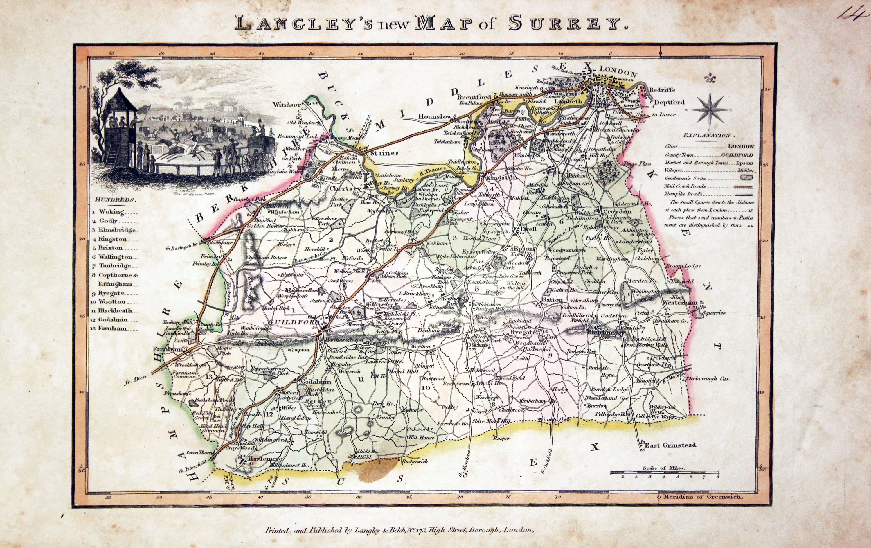
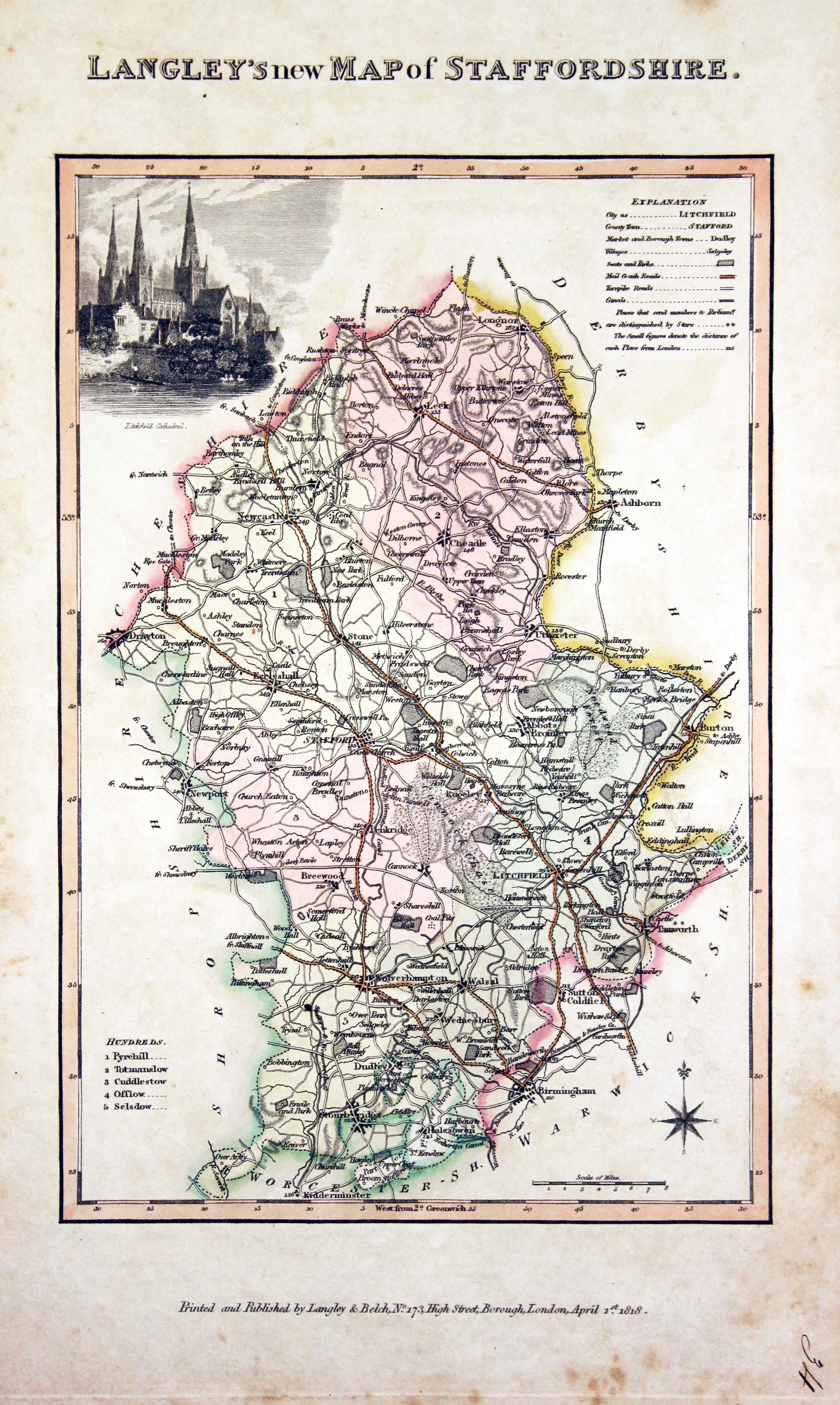
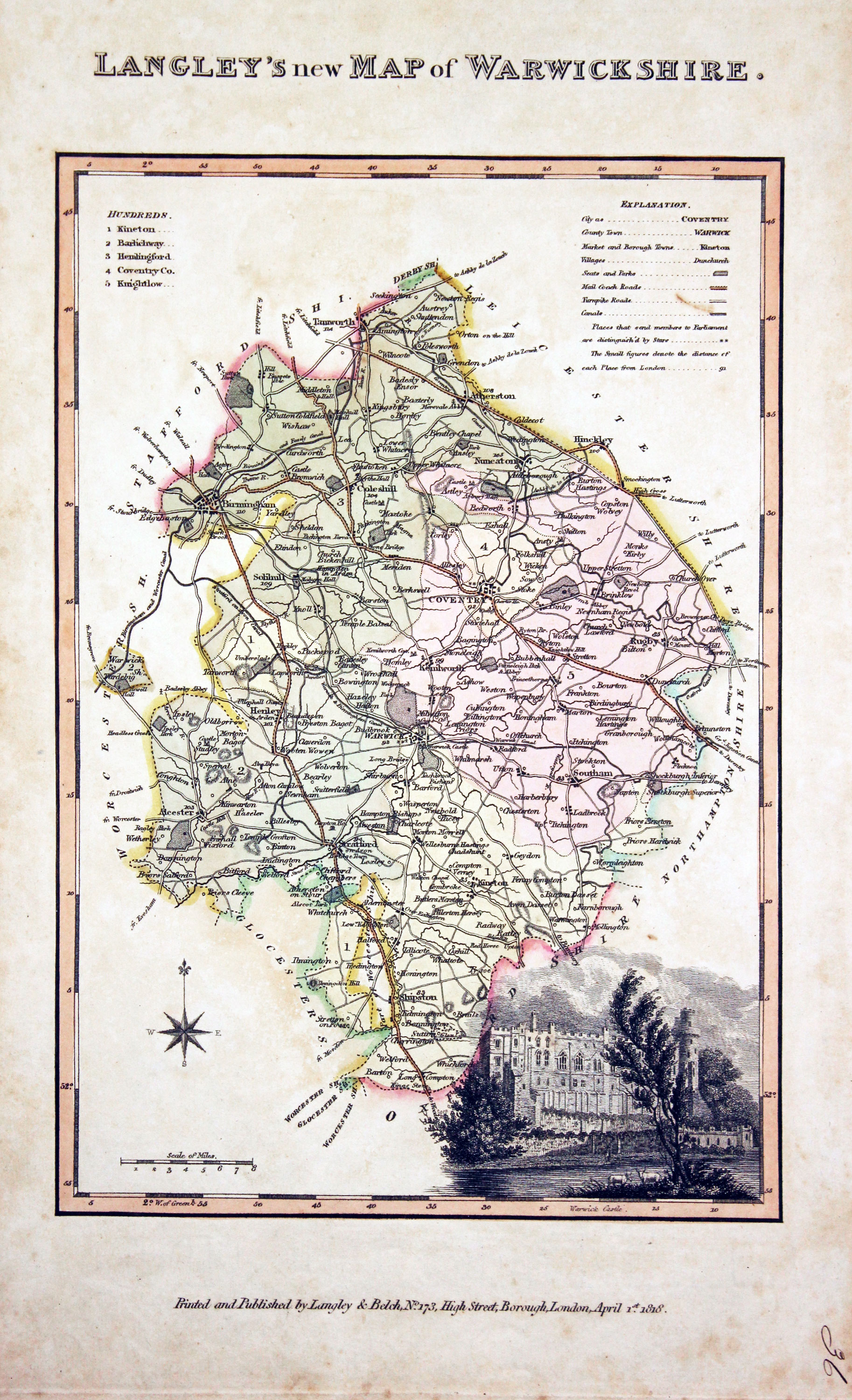
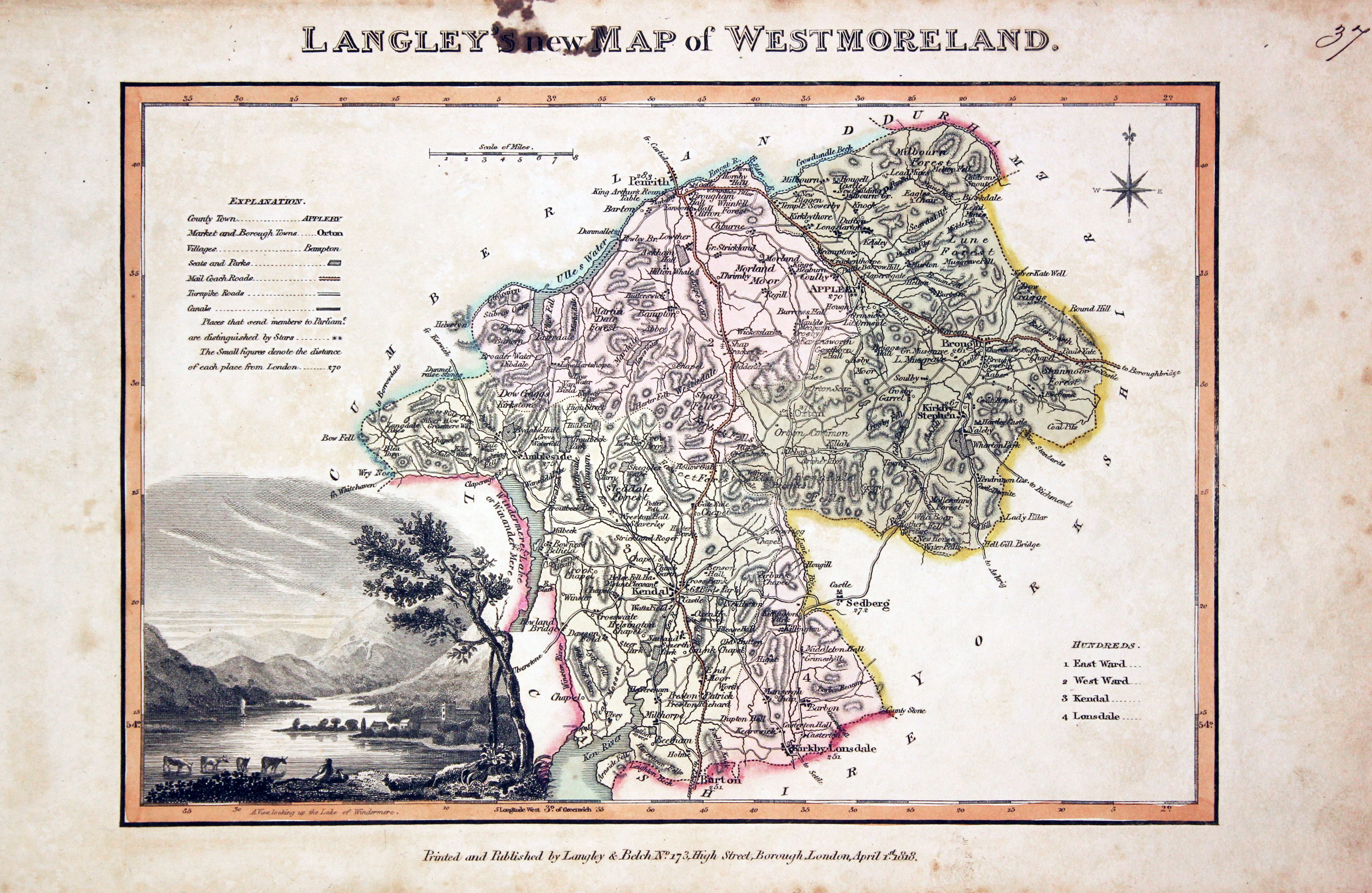
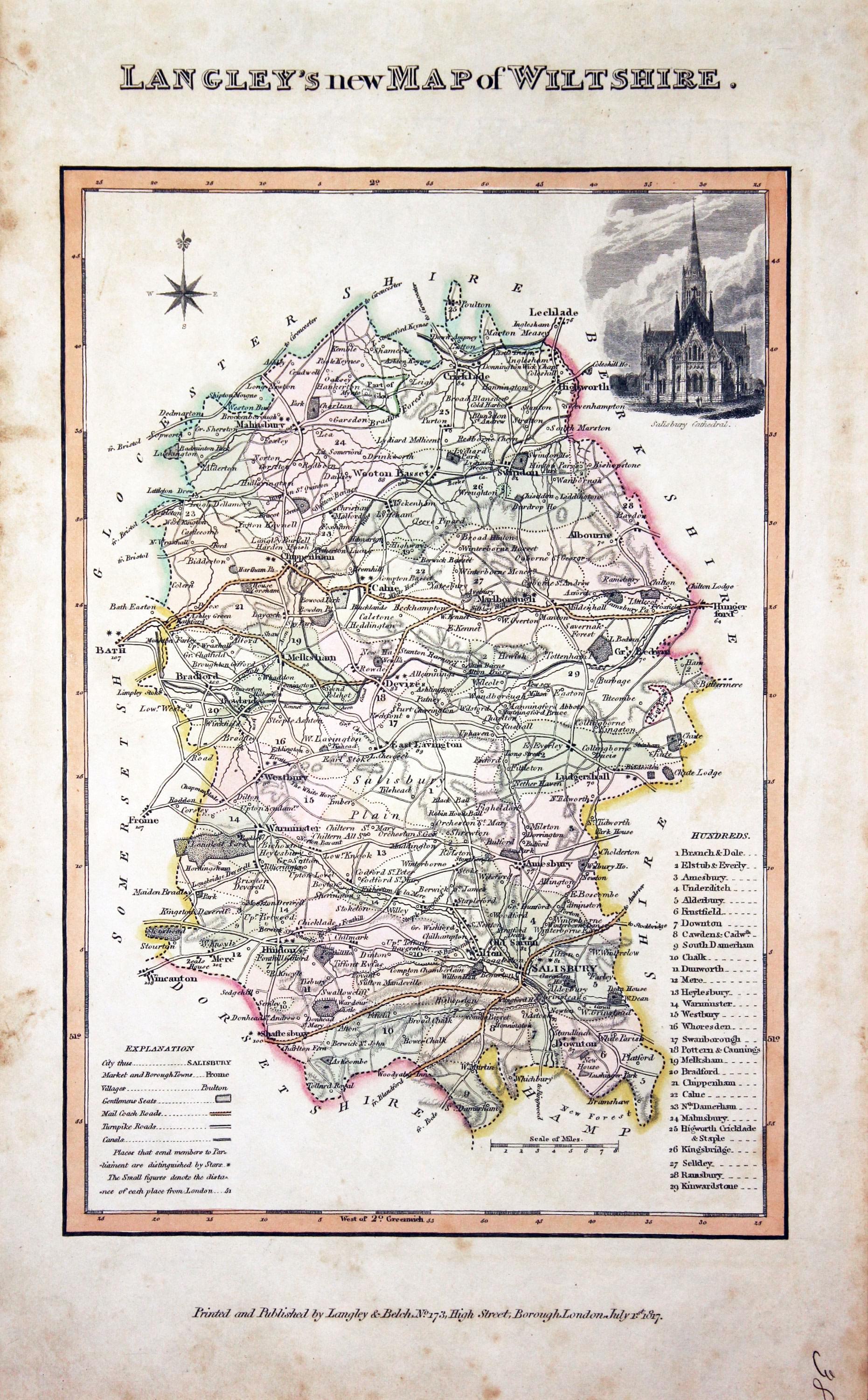
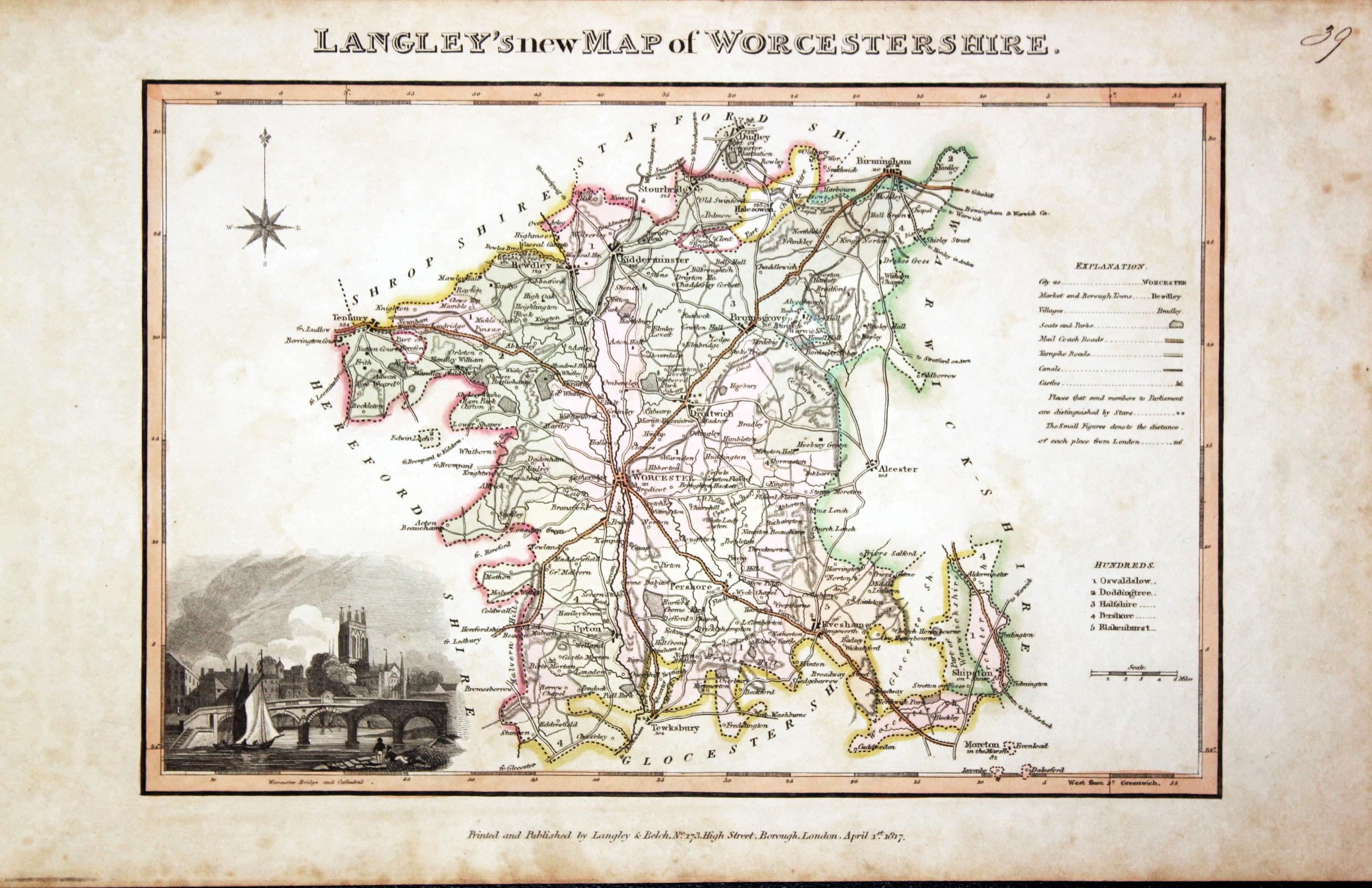
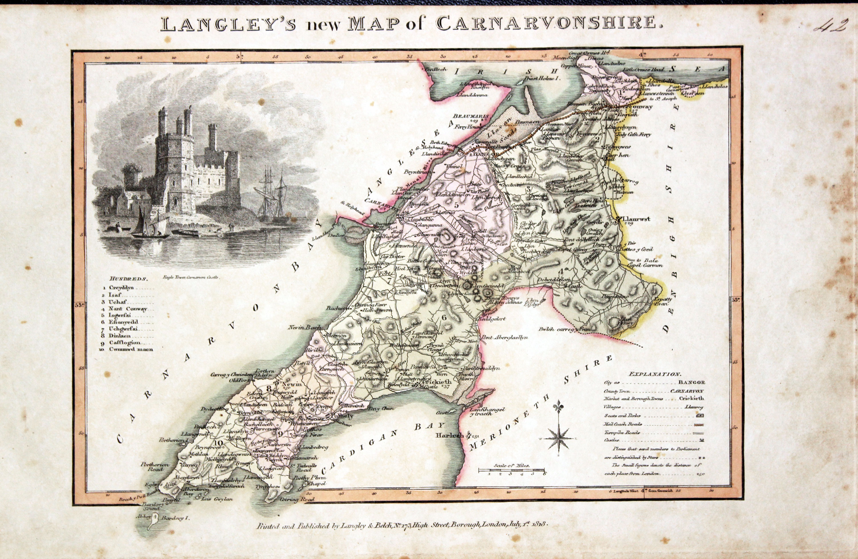
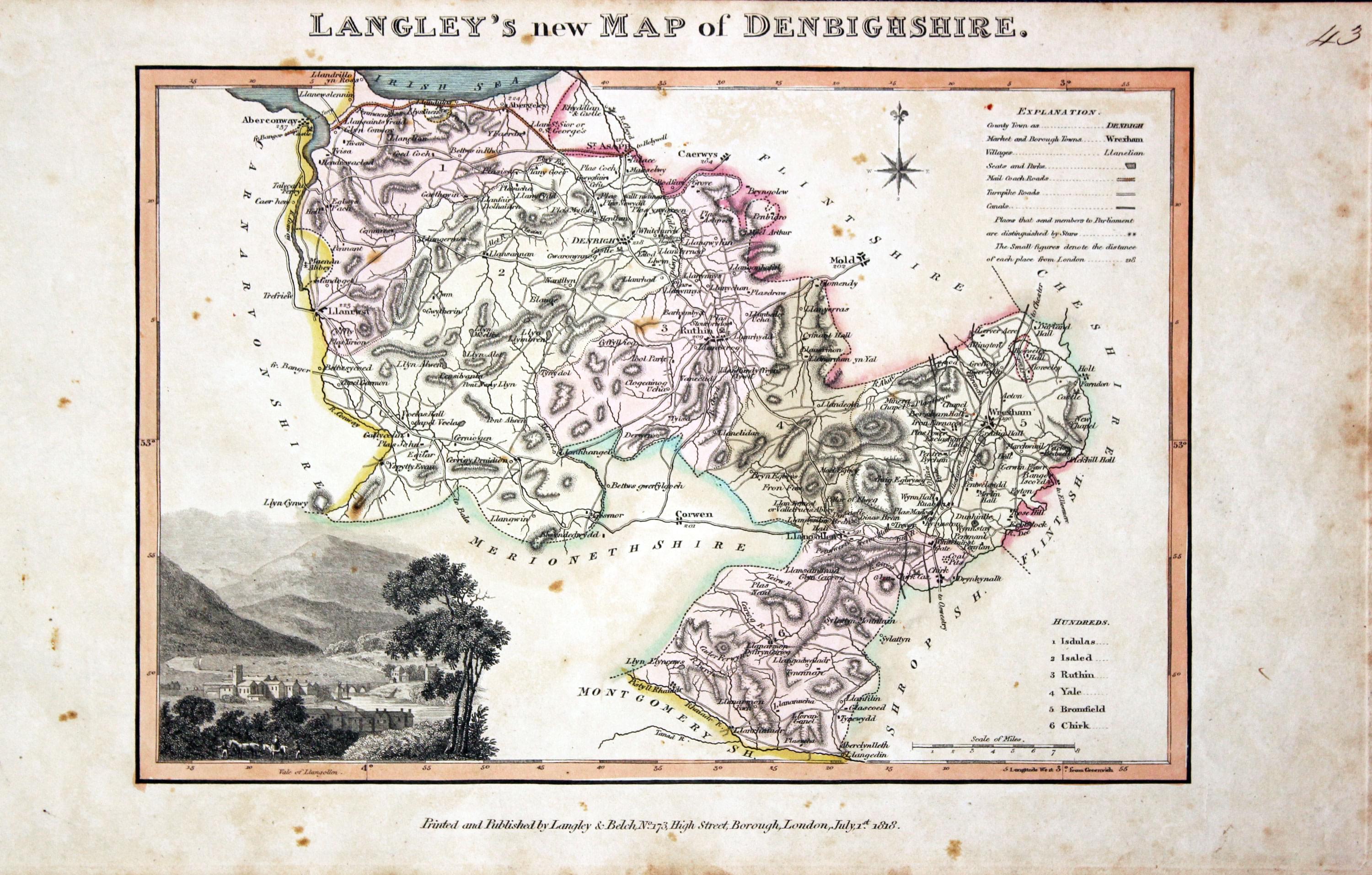
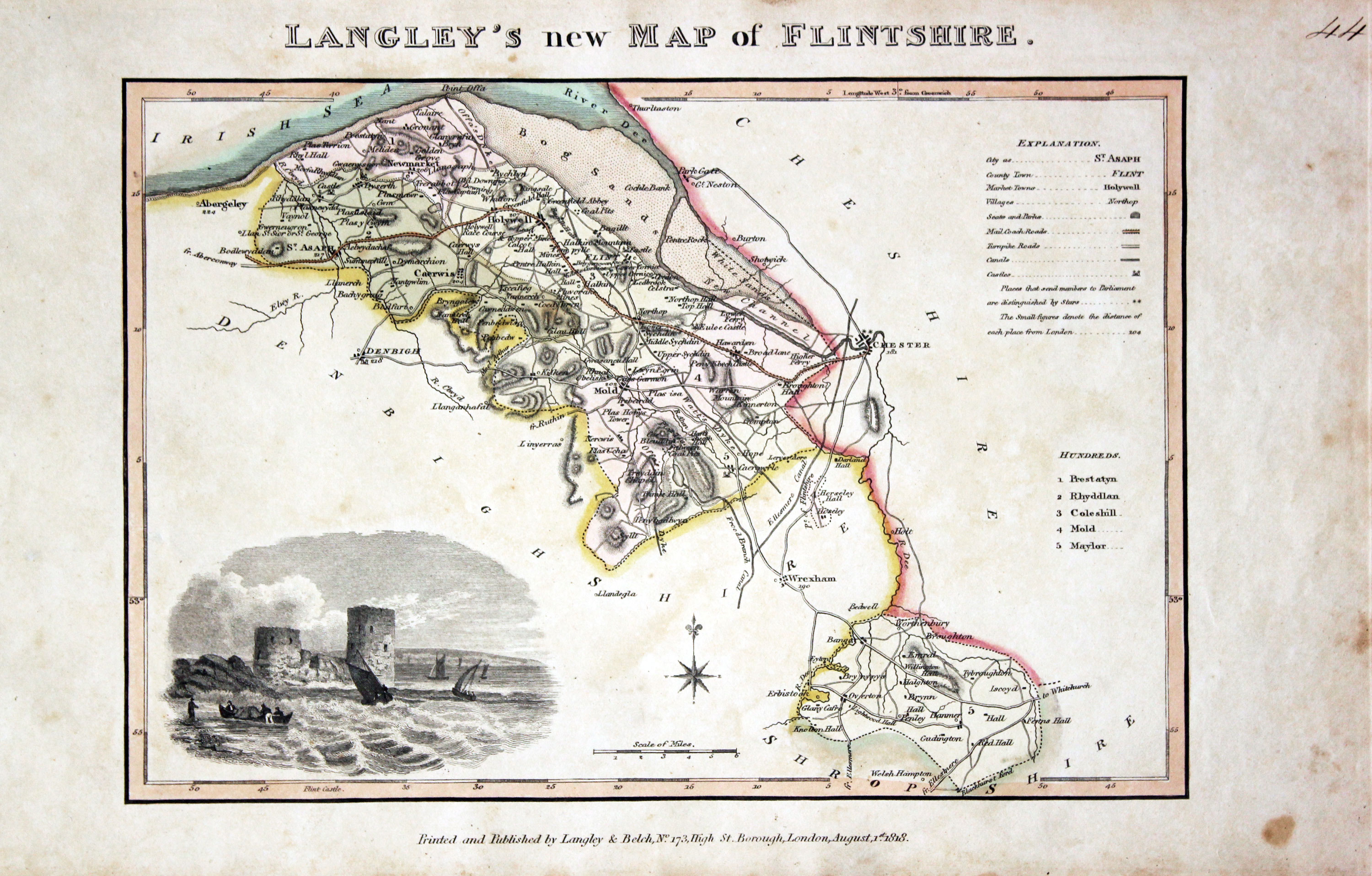
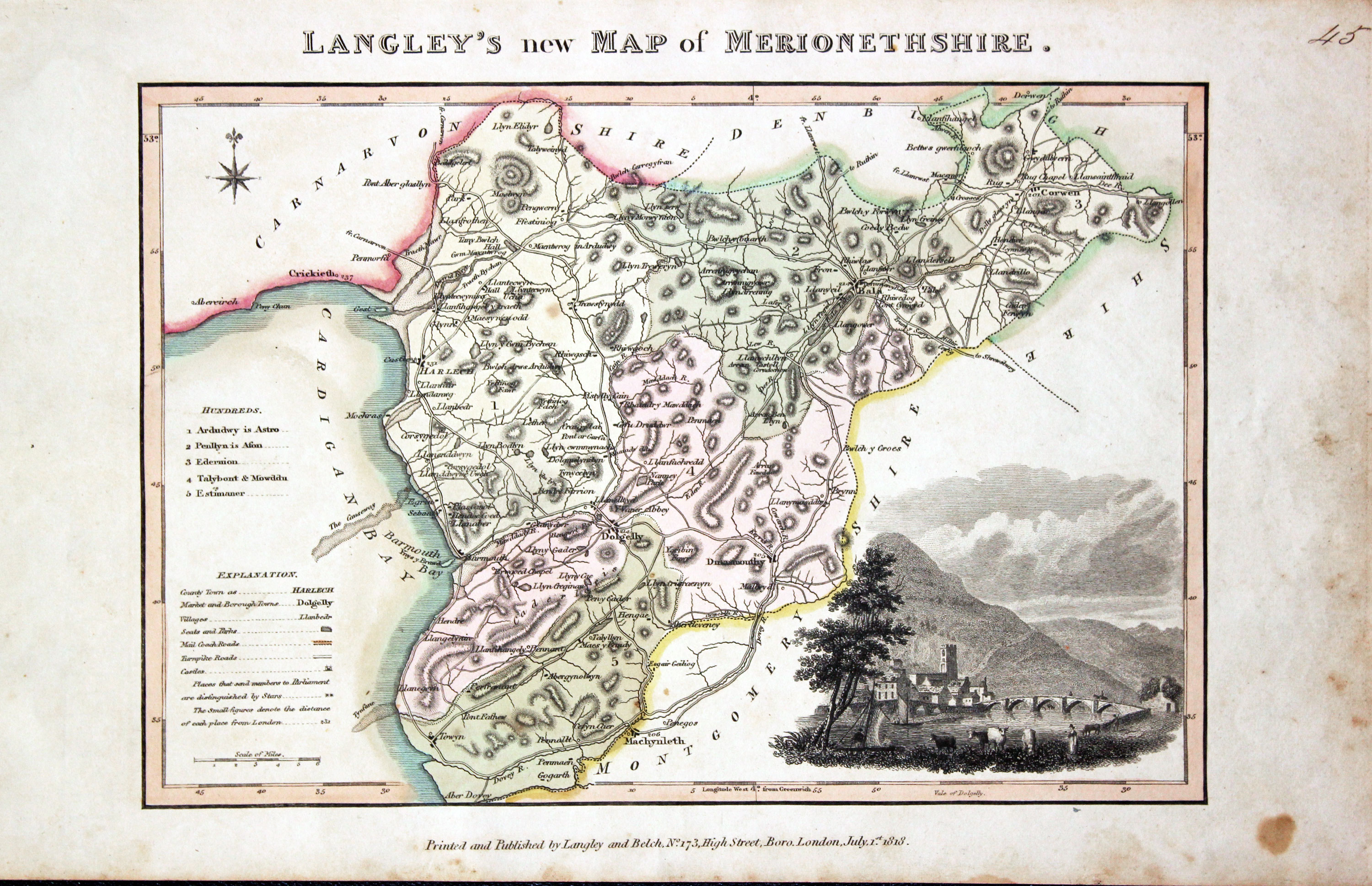
Edward Langley was a well stablished engraver, printer, bookseller and publisher setting up his own printing shop in Dorking in 1799. He later moved to 173 High Street, Borough, London where he worked closely with William Belch up until 1820. They are best known to collectors of English county maps for their atlas Langley's New County Atlas of England and Wales published in 1818. The maps in the atlas are dated between 1816 and 1818. The title to each map appears above the map area and starts Langley's Map of ..... Each map bears an uncoloured vignette view. Beneath each map are the names of Langley and Belch. Each map has early outline hand colouring. I cannot recall ever seeing uncoloured examples. The partnership broke up in 1819 when it went into bankruptcy. A further edition of the atlas was published by Joseph Phelps who replaced the text beneath each map to show his own name and the date of 1820.
Map Gallery
England
-

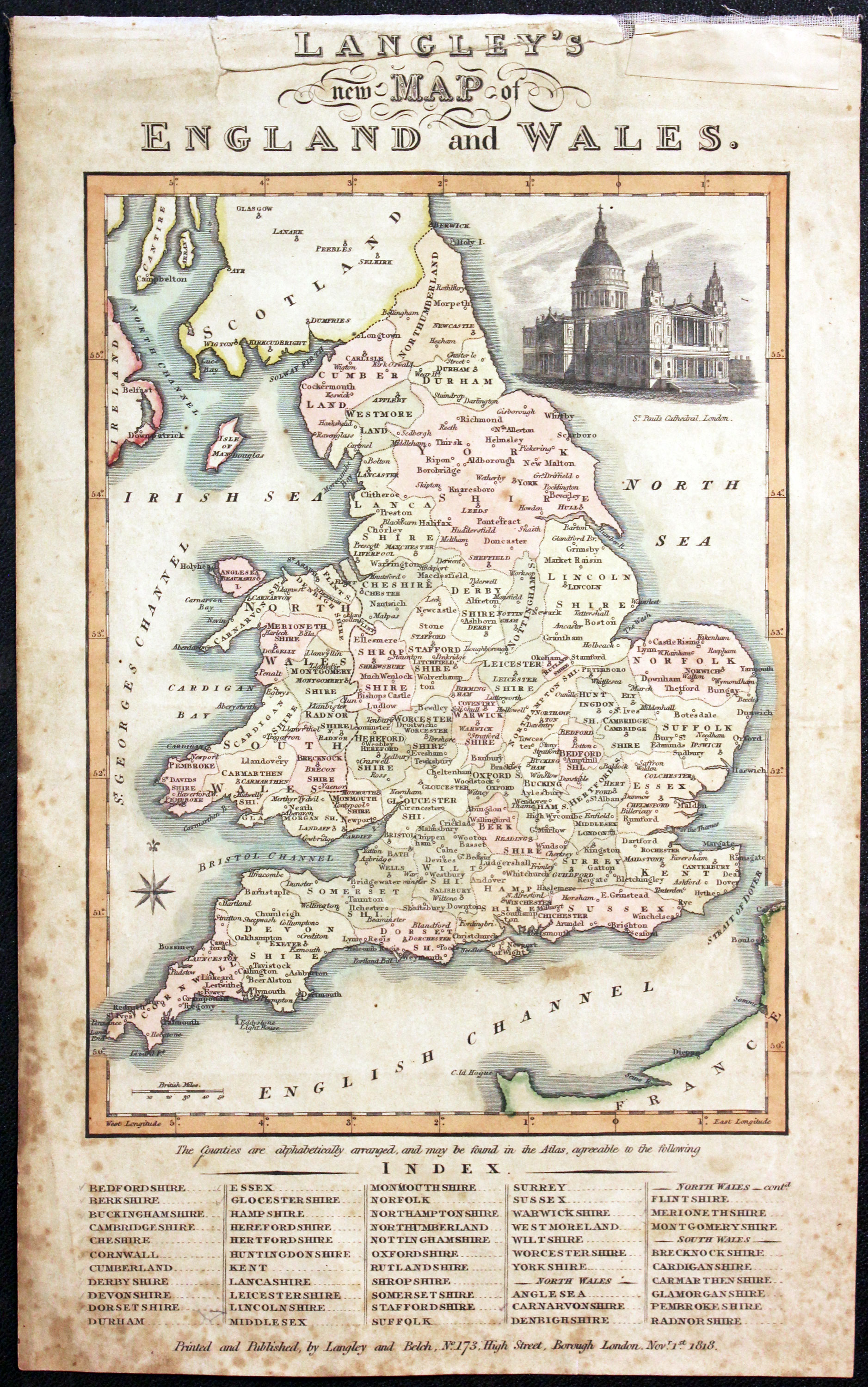
Map of England and Wales by Edward Langey 1818
-

Map of Bedfordshire by Edward Langey 1818
-

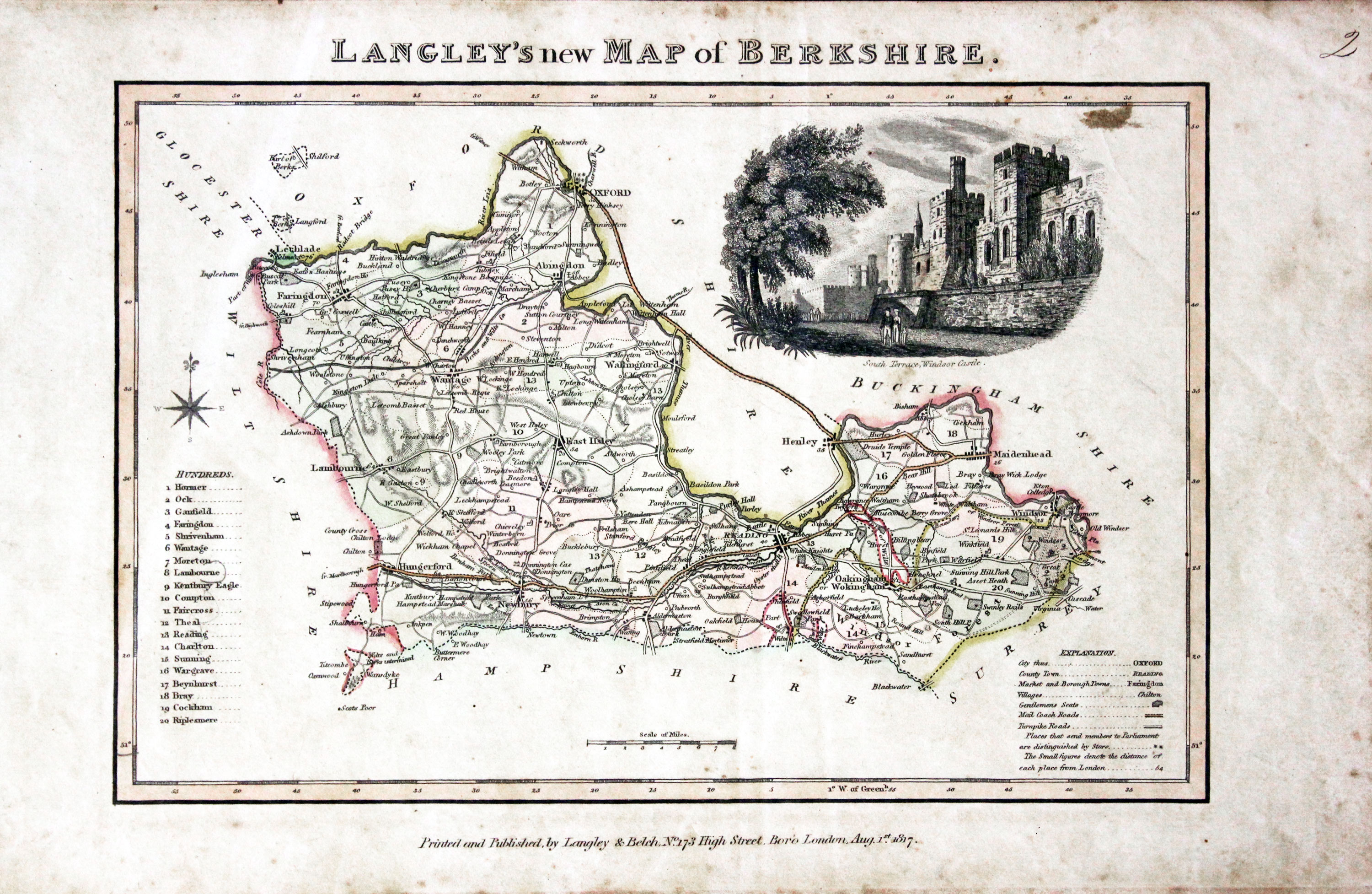
Map of Berkshire by Edward Langey 1818
-

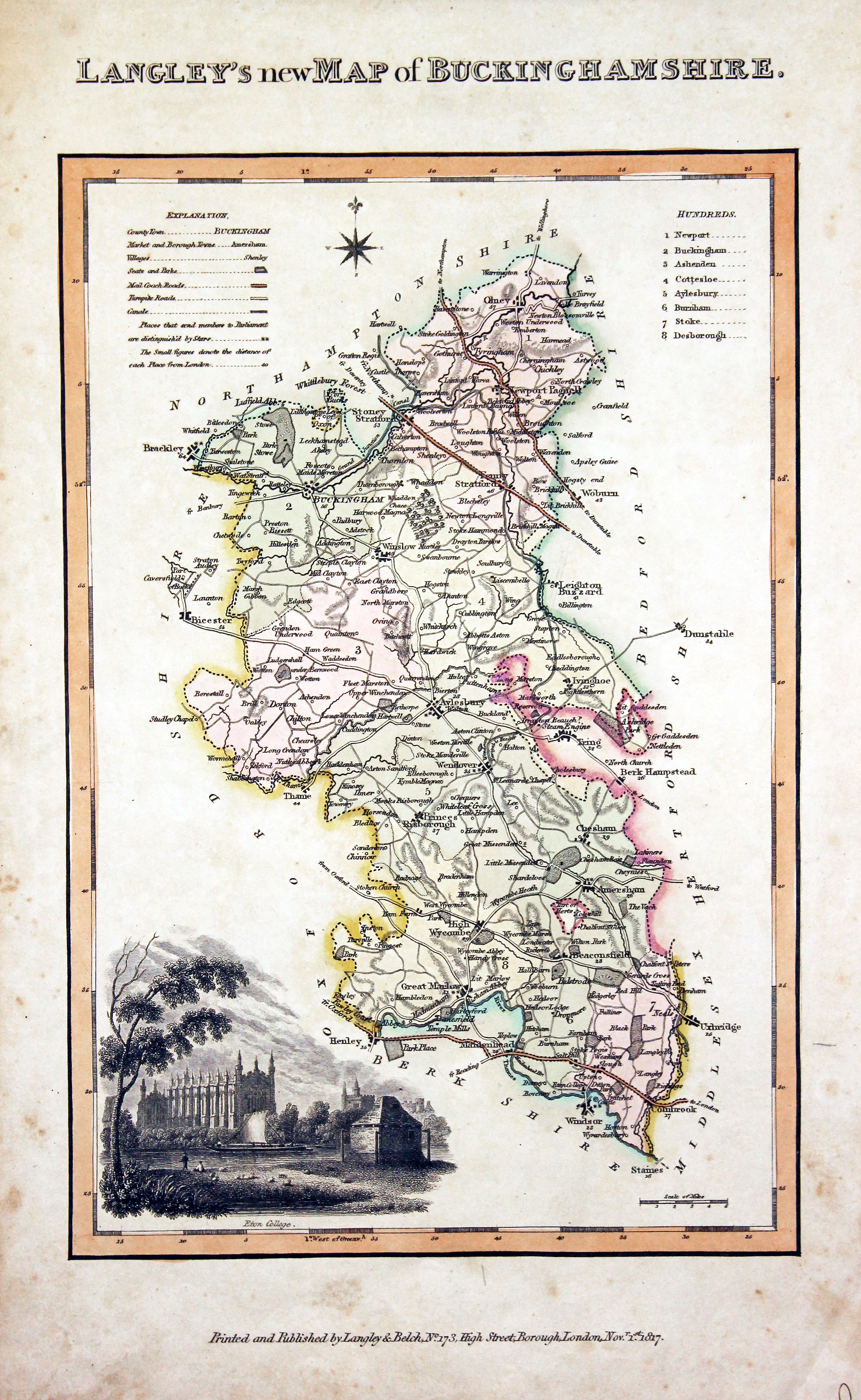
Map of Buckinghamshire by Edward Langey 1818
-
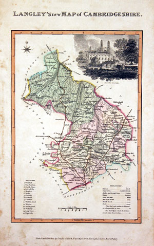
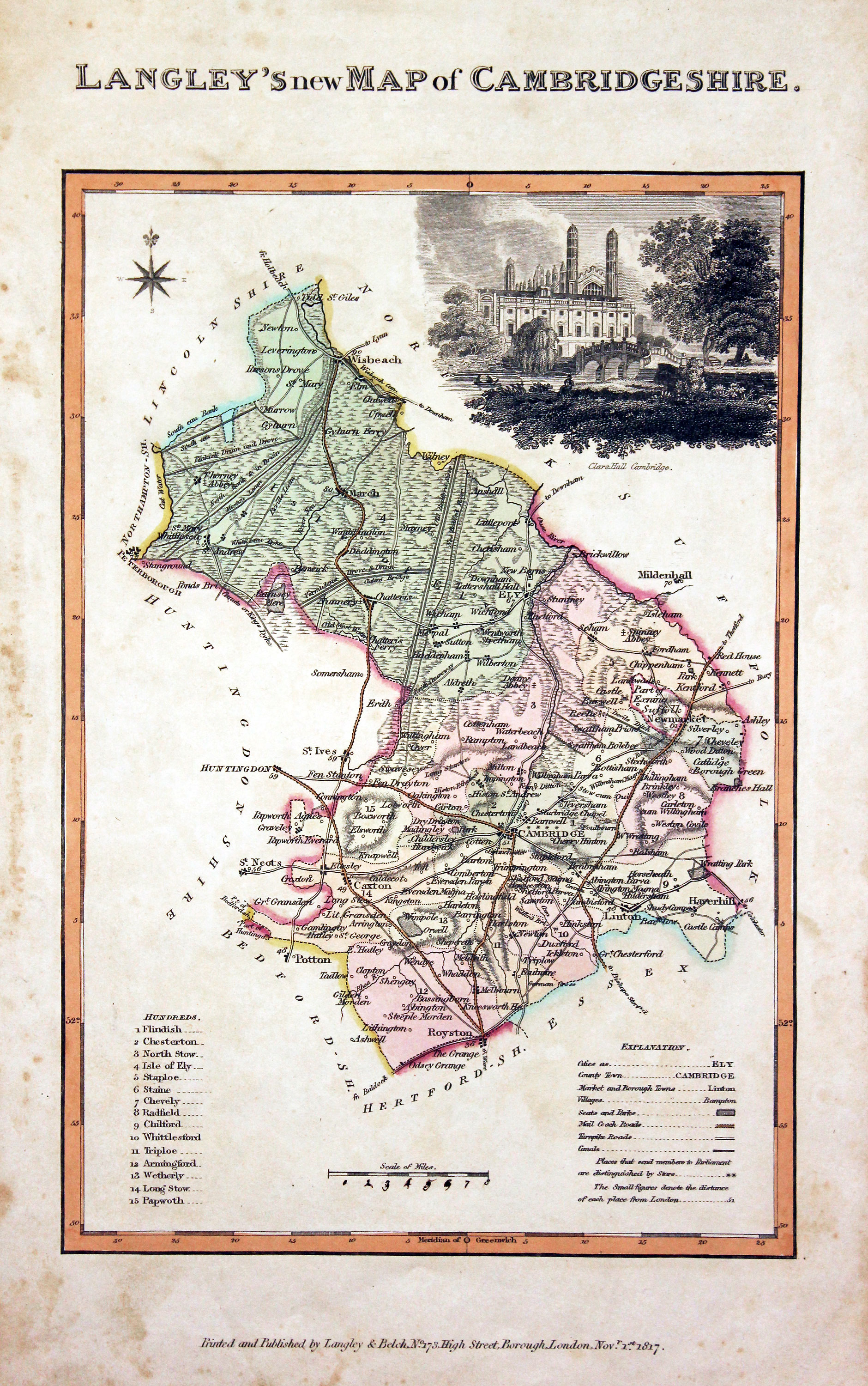
Map of Cambridgeshire by Edward Langey 1818
-
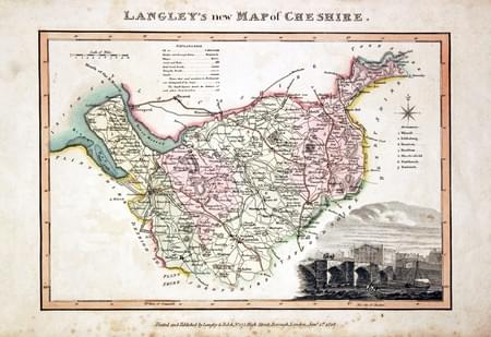
Map of Cheshire by Edward Langey 1818
-

Map of Cumberland by Edward Langey 1818
-

Map of Derbyshire by Edward Langey 1818
-

Map of Devonshire by Edward Langey 1818
-
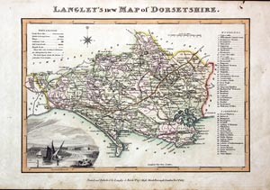
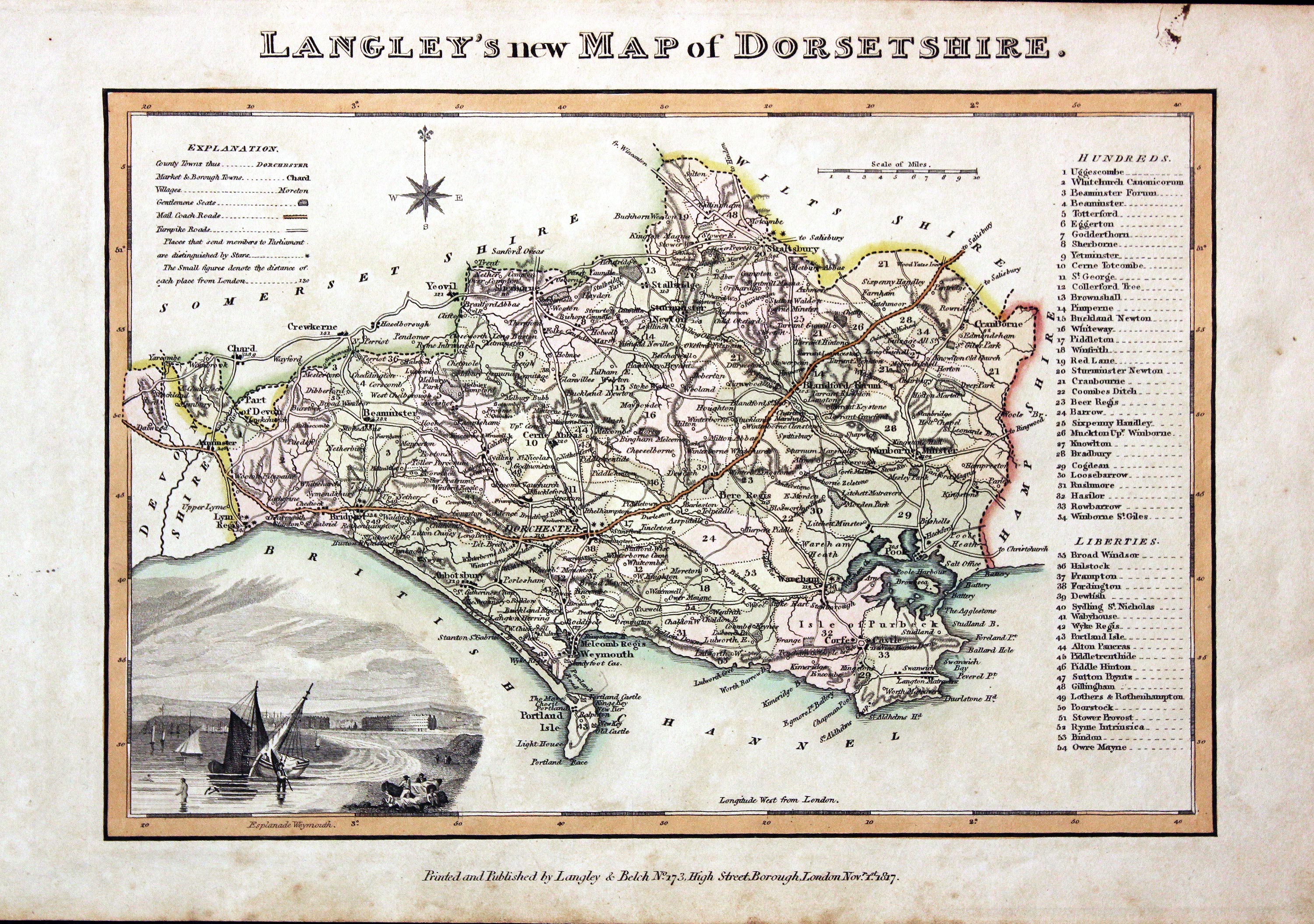
Map of Dorsetshire by Edward Langey 1818
-

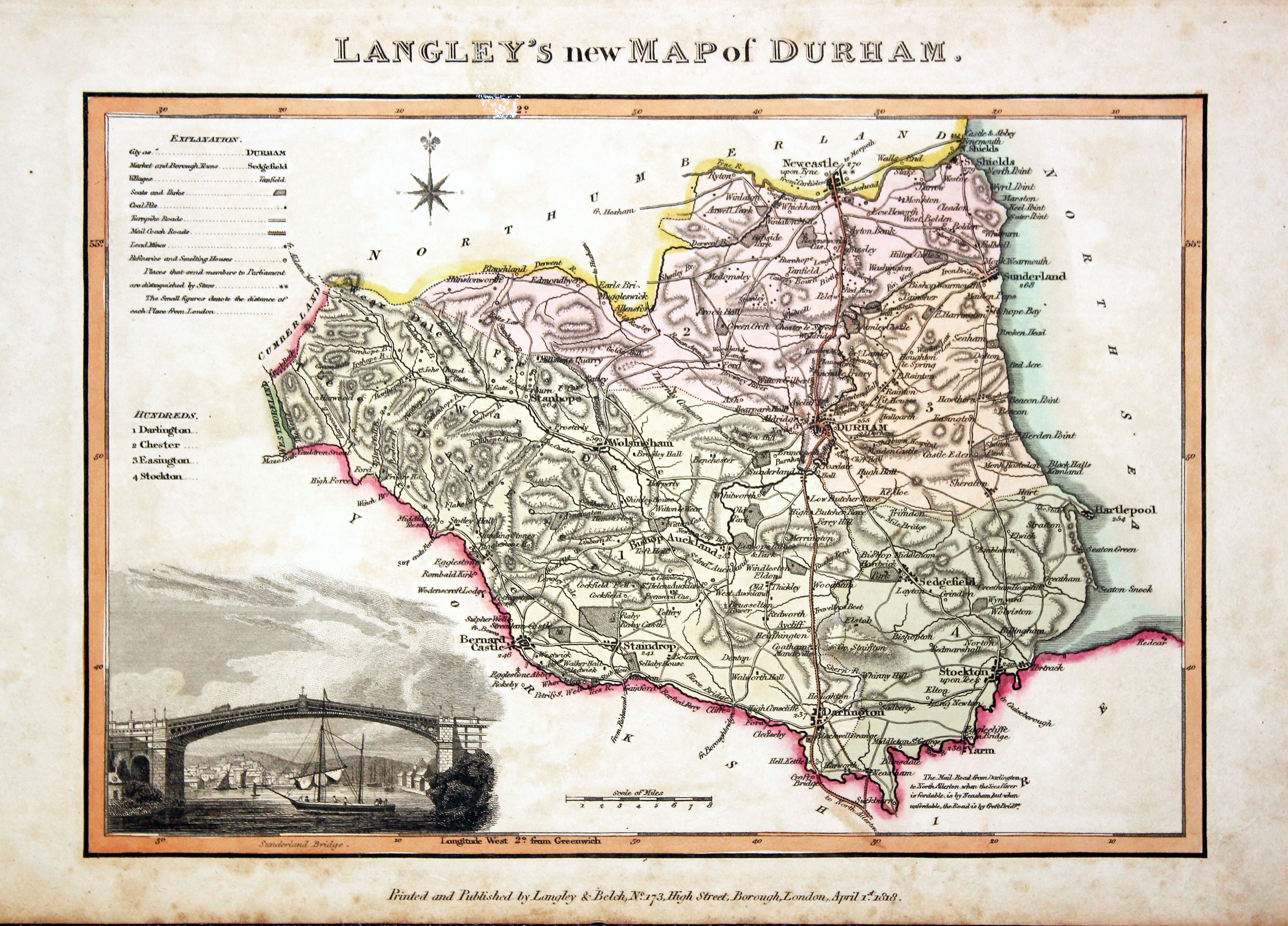
Map of County Durham by Edward Langey 1818
-

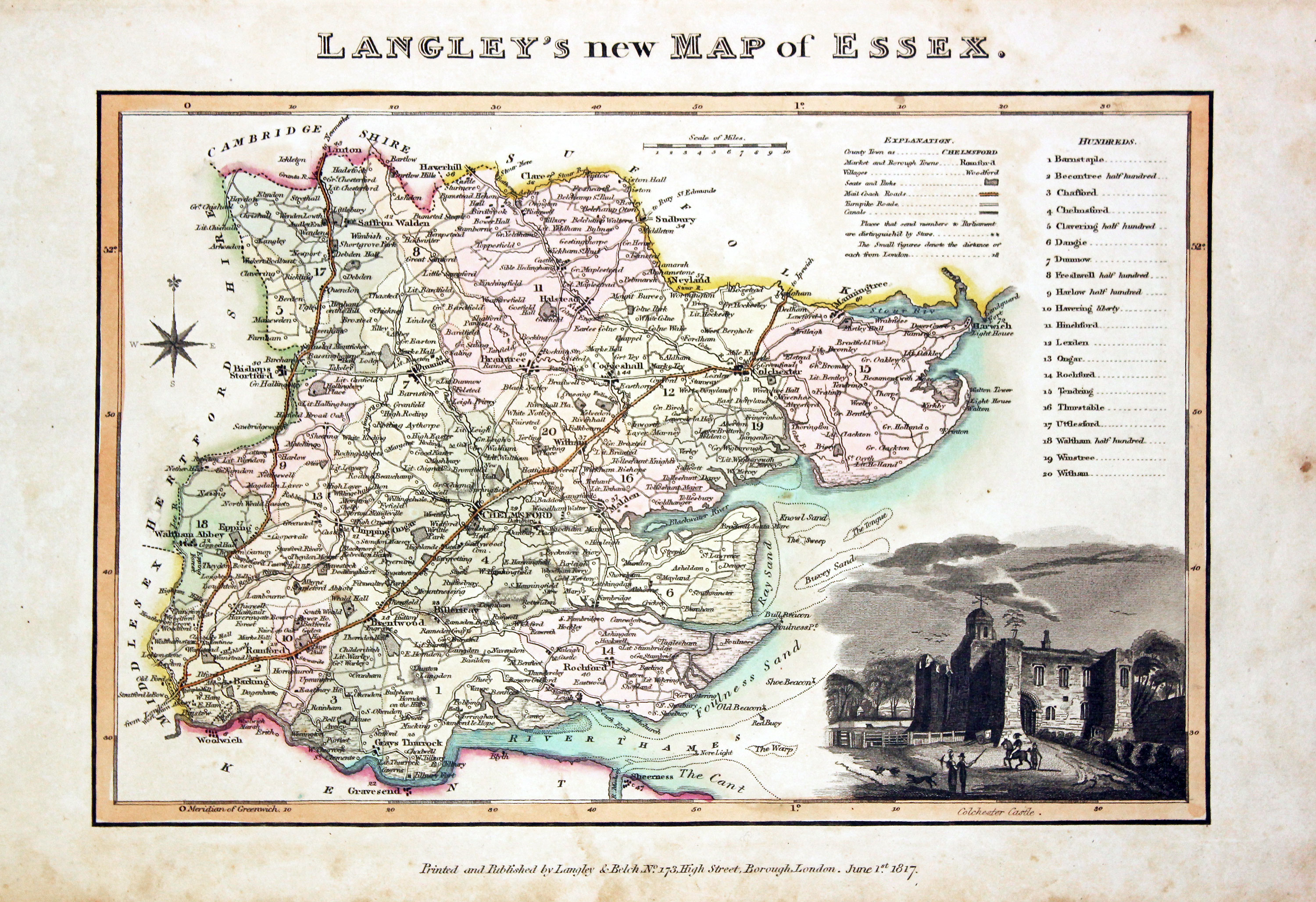
Map of Essex by Edward Langey 1818
-
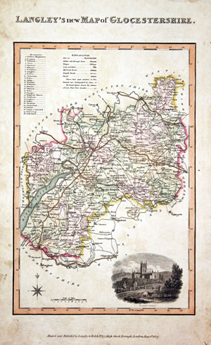
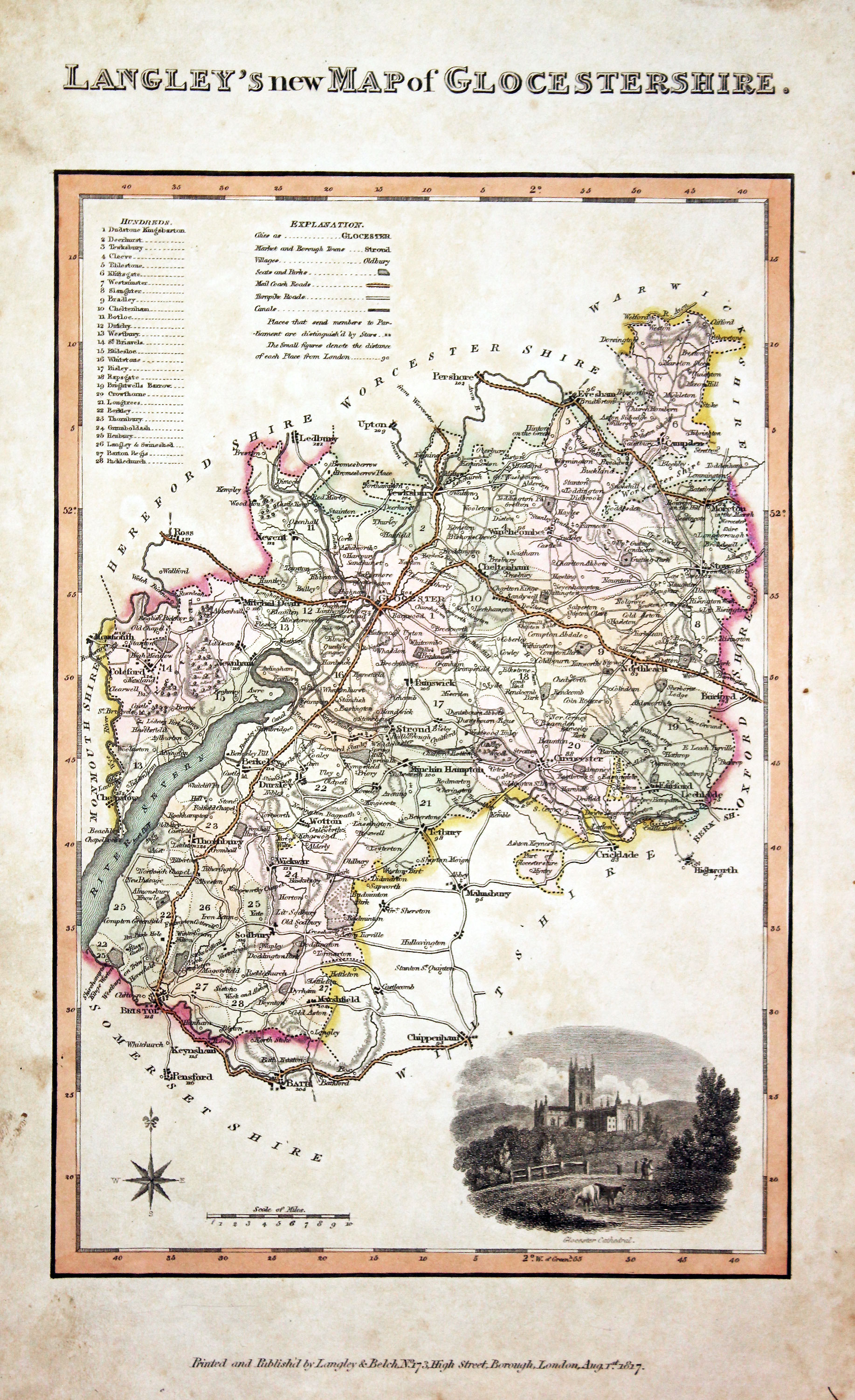
Map of Gloucestershire by Edward Langey 1818
-

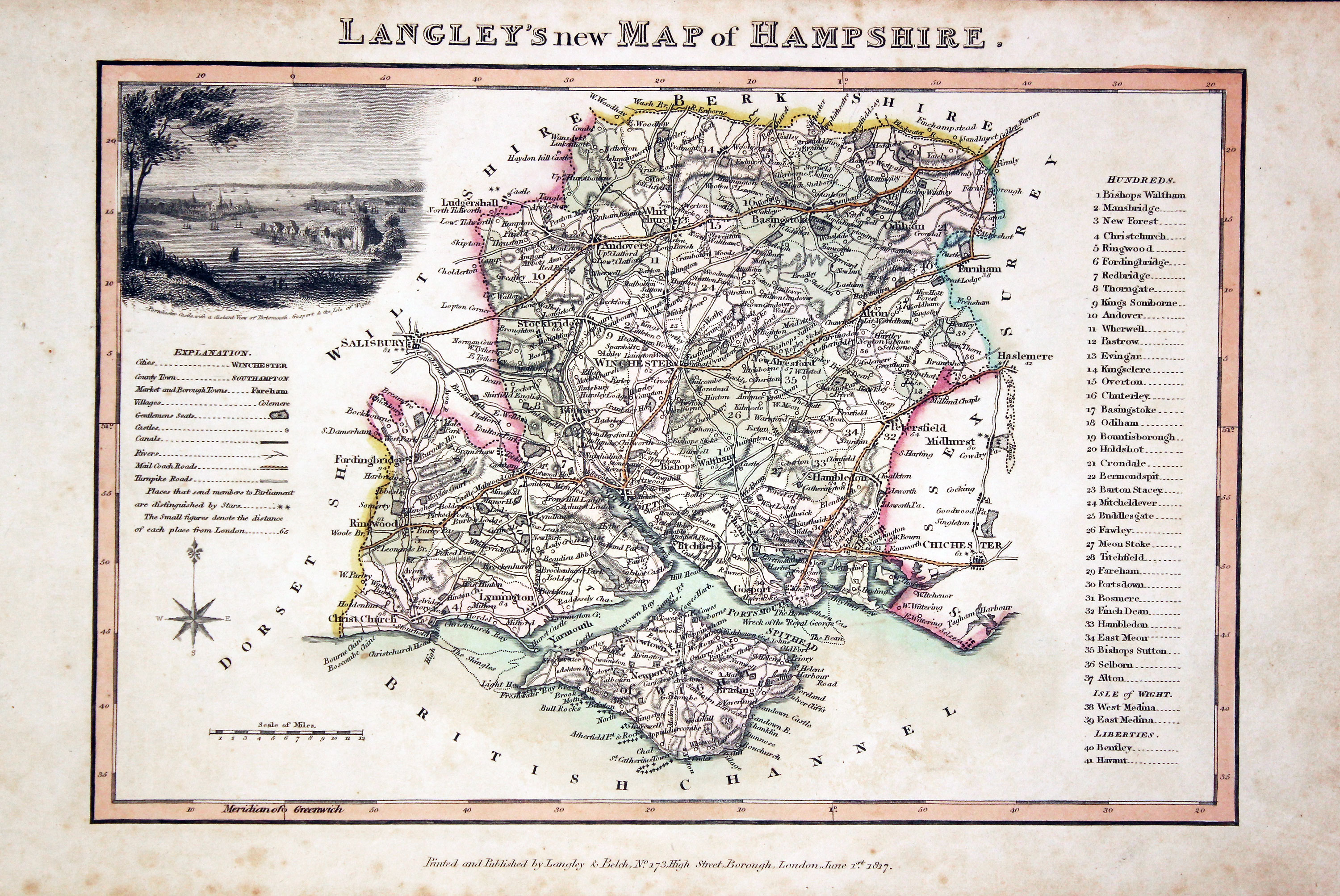
Map of Hampshire by Edward Langey 1818
-

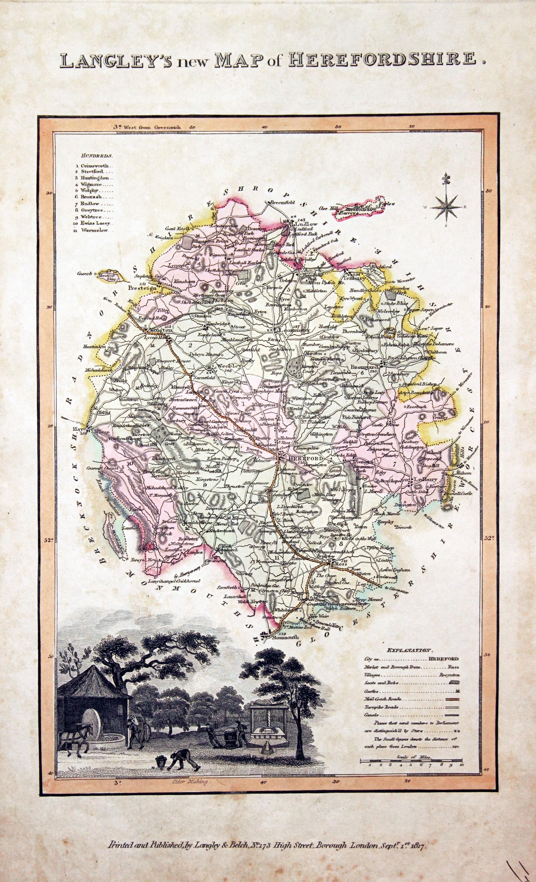
Map of Herefordshire by Edward Langey 1818
-

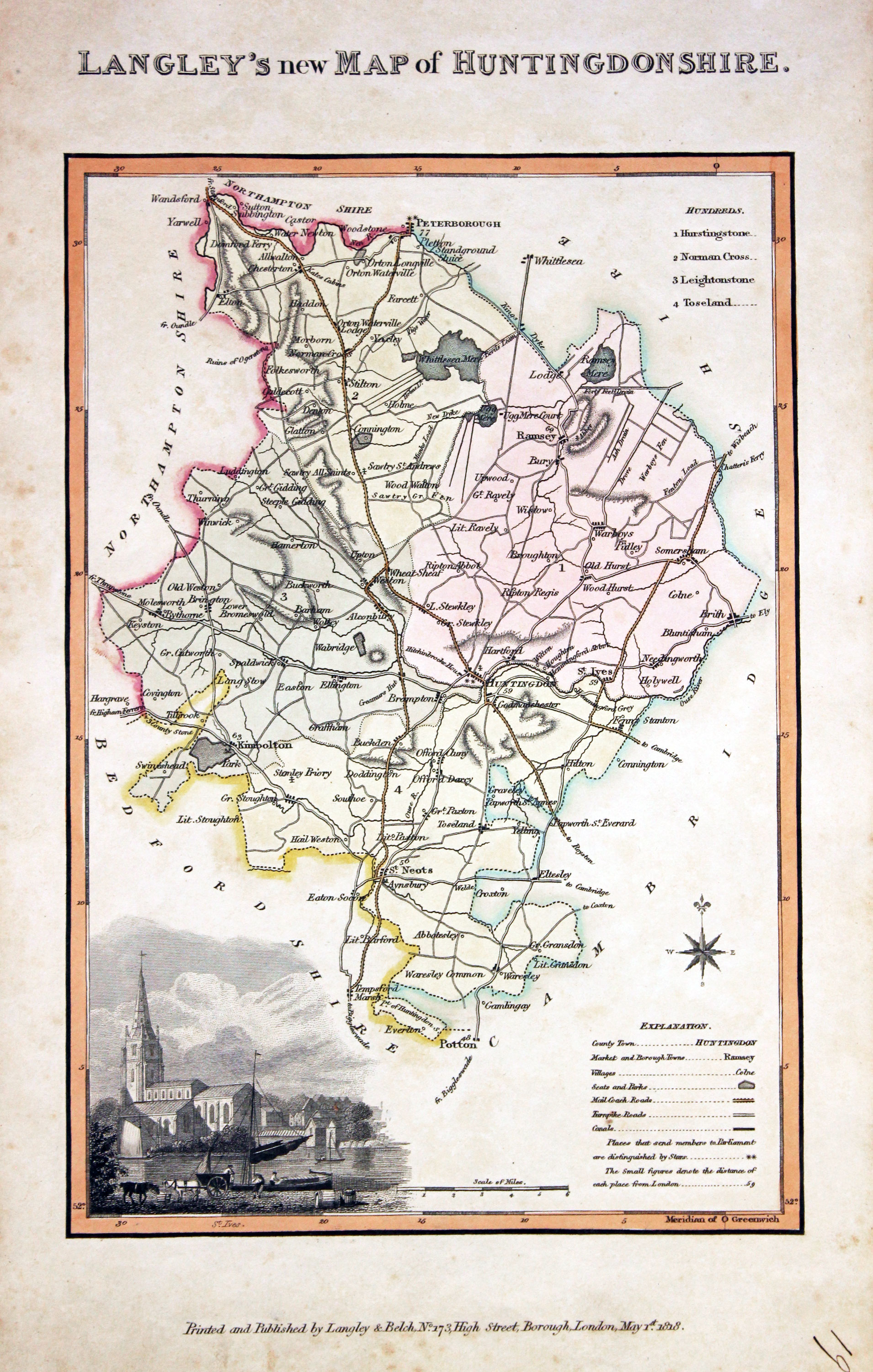
Map of Huntingdonshire by Edward Langey 1818
-

Map of Kent by Edward Langey 1818
-

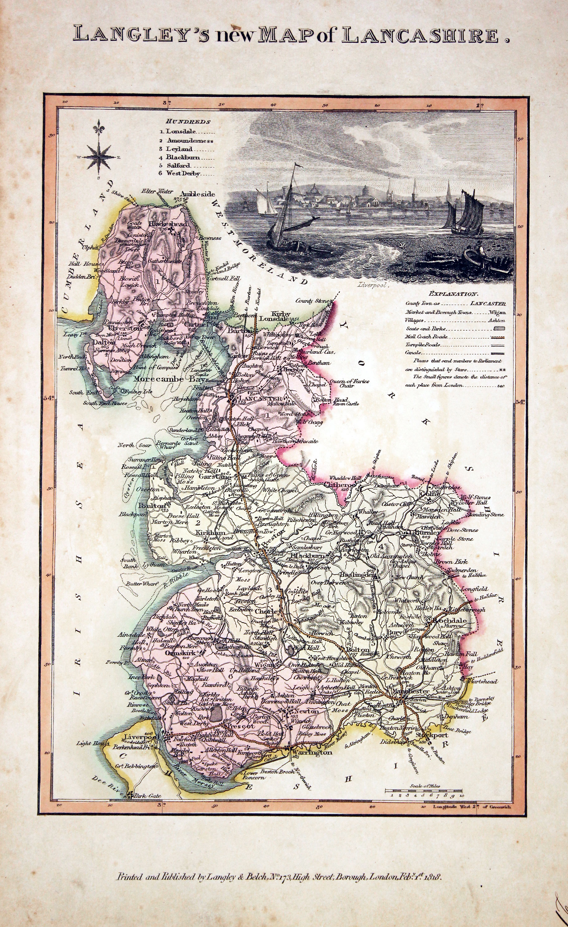
Map of Lancashire by Edward Langey 1818
-

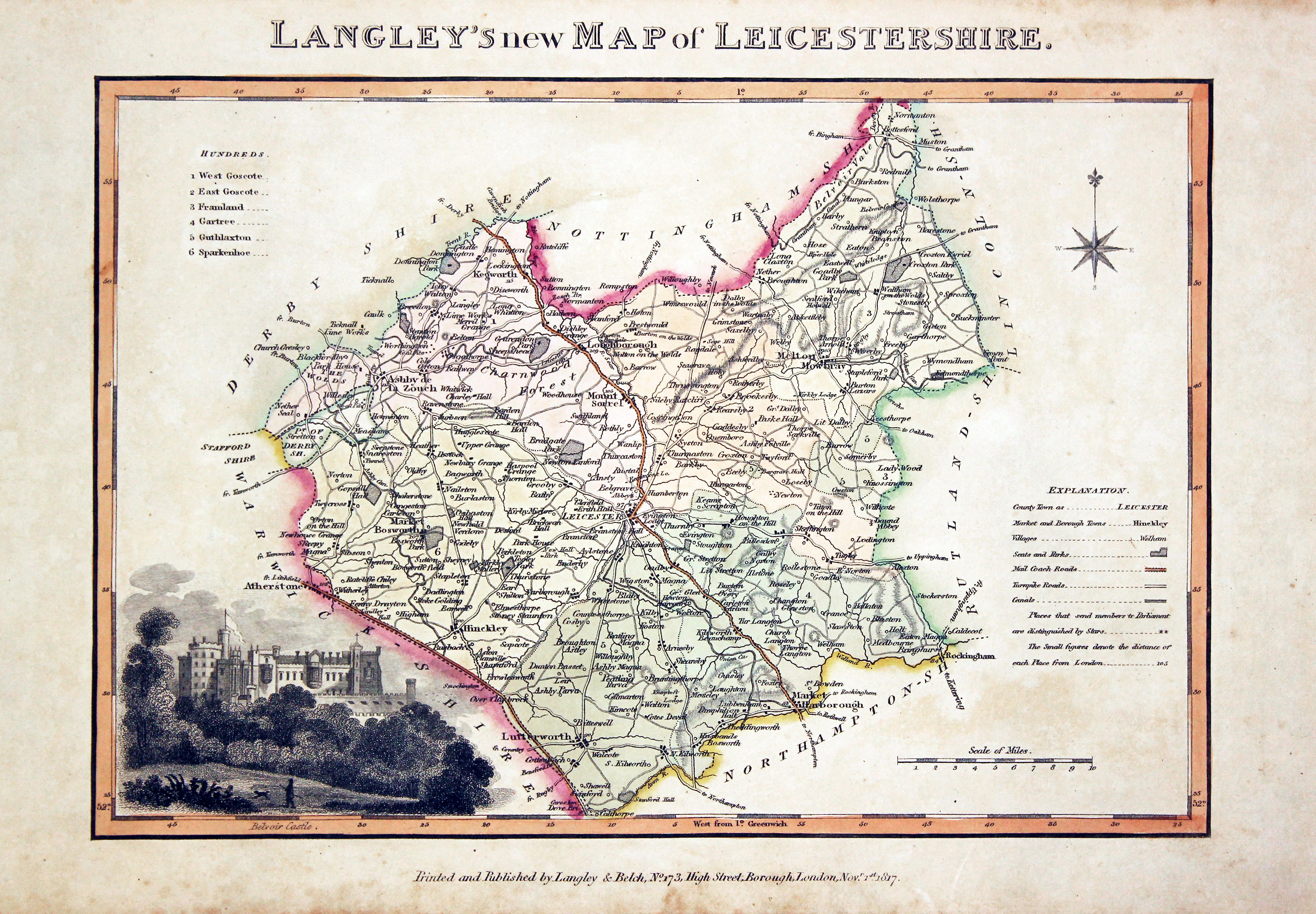
Map of Leicestershire by Edward Langey 1818
-

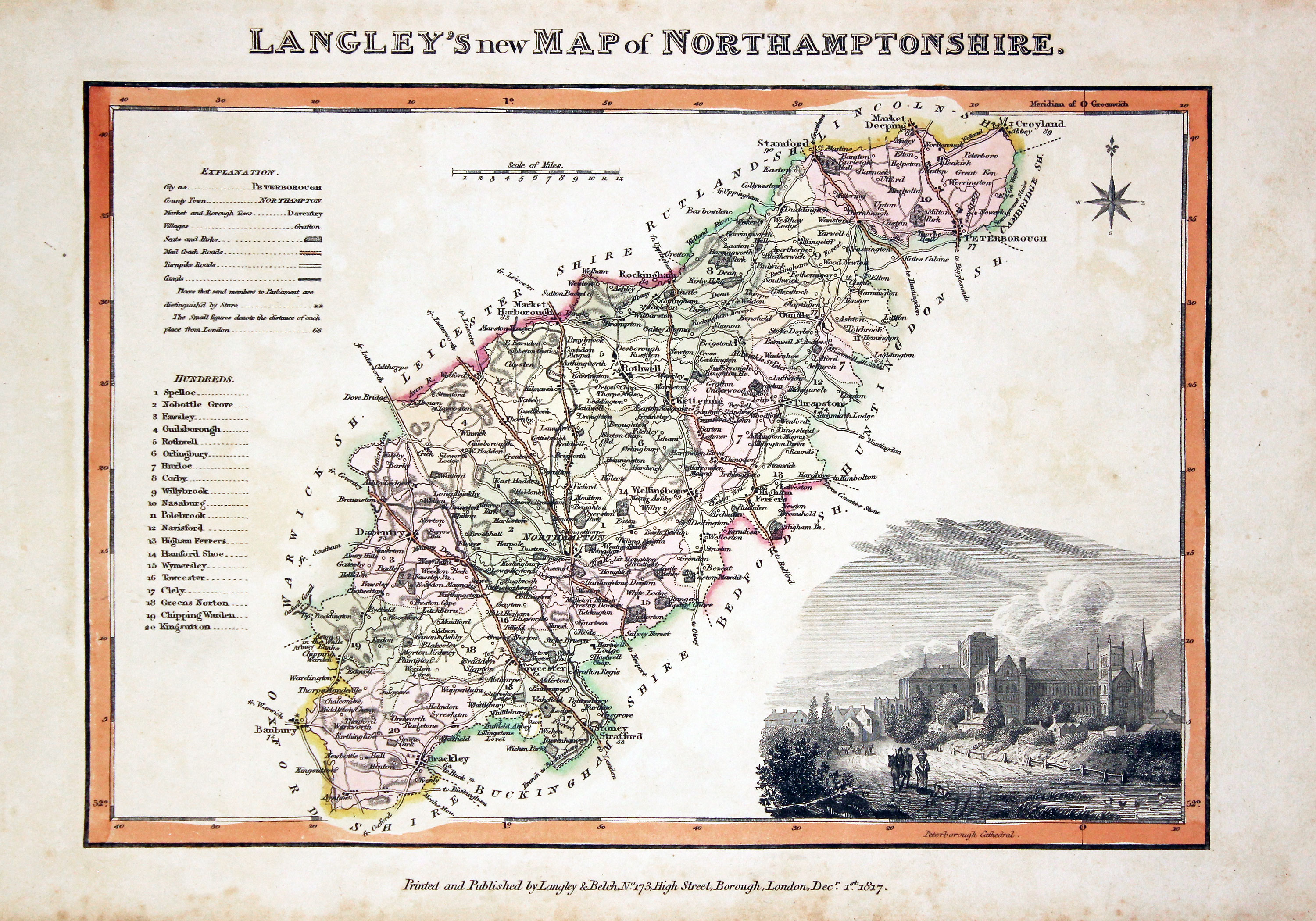
Map of Northamptonshire by Edward Langey 1818
-

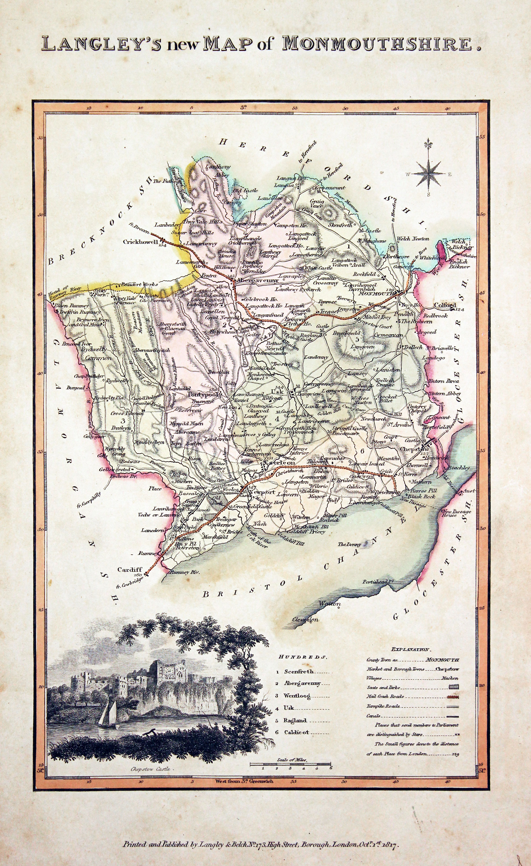
Map of Monmouthshire by Edward Langey 1818
-

Map of Northamptonshire by Edward Langey 1818
-

Map of Shropshire by Edward Langey 1818
-
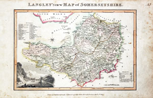
Map of Somersetshire by Edward Langey 1818
-
Map of Surrey by Edward Langey 1818
-

Map of Staffordshire by Edward Langey 1818
-

Map of Warwickshire by Edward Langey 1818
-

Map of Westmorland by Edward Langey 1818
-

Map of Wiltshire by Edward Langey 1818
-

Map of Worcestershire by Edward Langey 1818
Map Gallery
Wales
-
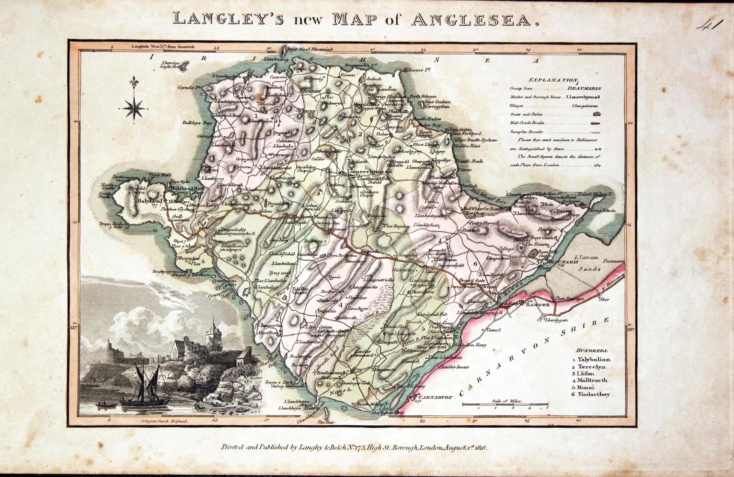
Map of Anglesey by Edward Langey 1818
-

Map of Caernarvonshire by Edward Langey 1818
-

Map of Denbighshire by Edward Langey 1818
-

Map of Flintshire by Edward Langey 1818
-

Map of Merionethshire by Edward Langey 1818
-
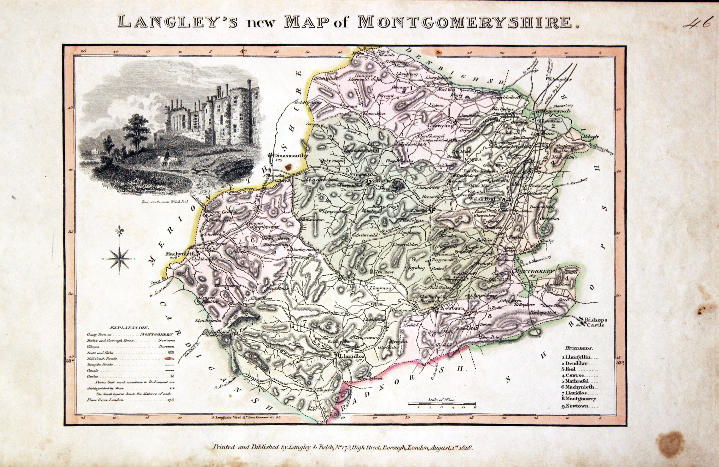
Map of Montgomeryshire by Edward Langey 1818
-

Map of Monmouthshire by Edward Langey 1818
-
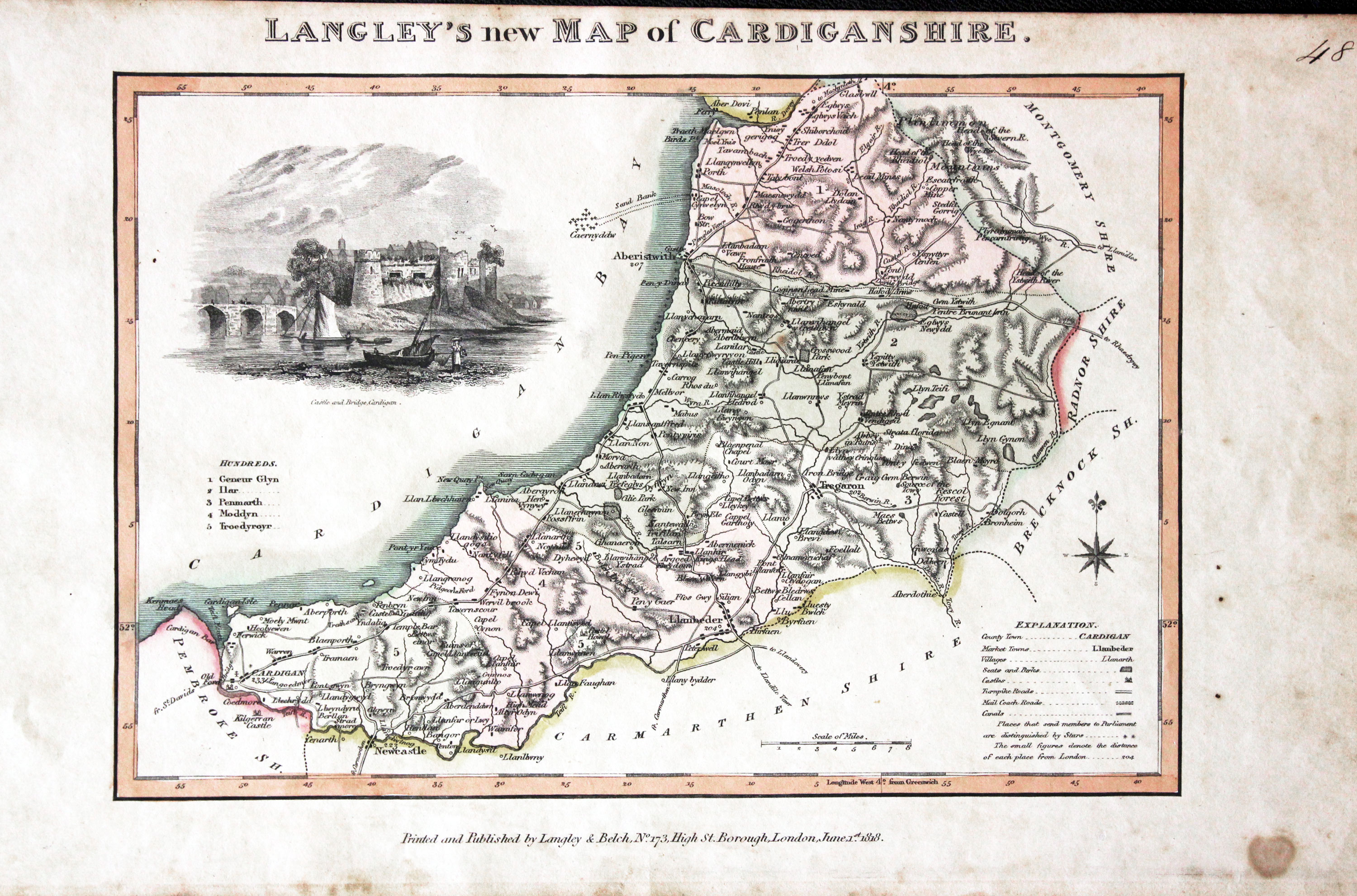
Map of Cardiganshire by Edward Langey 1818
-

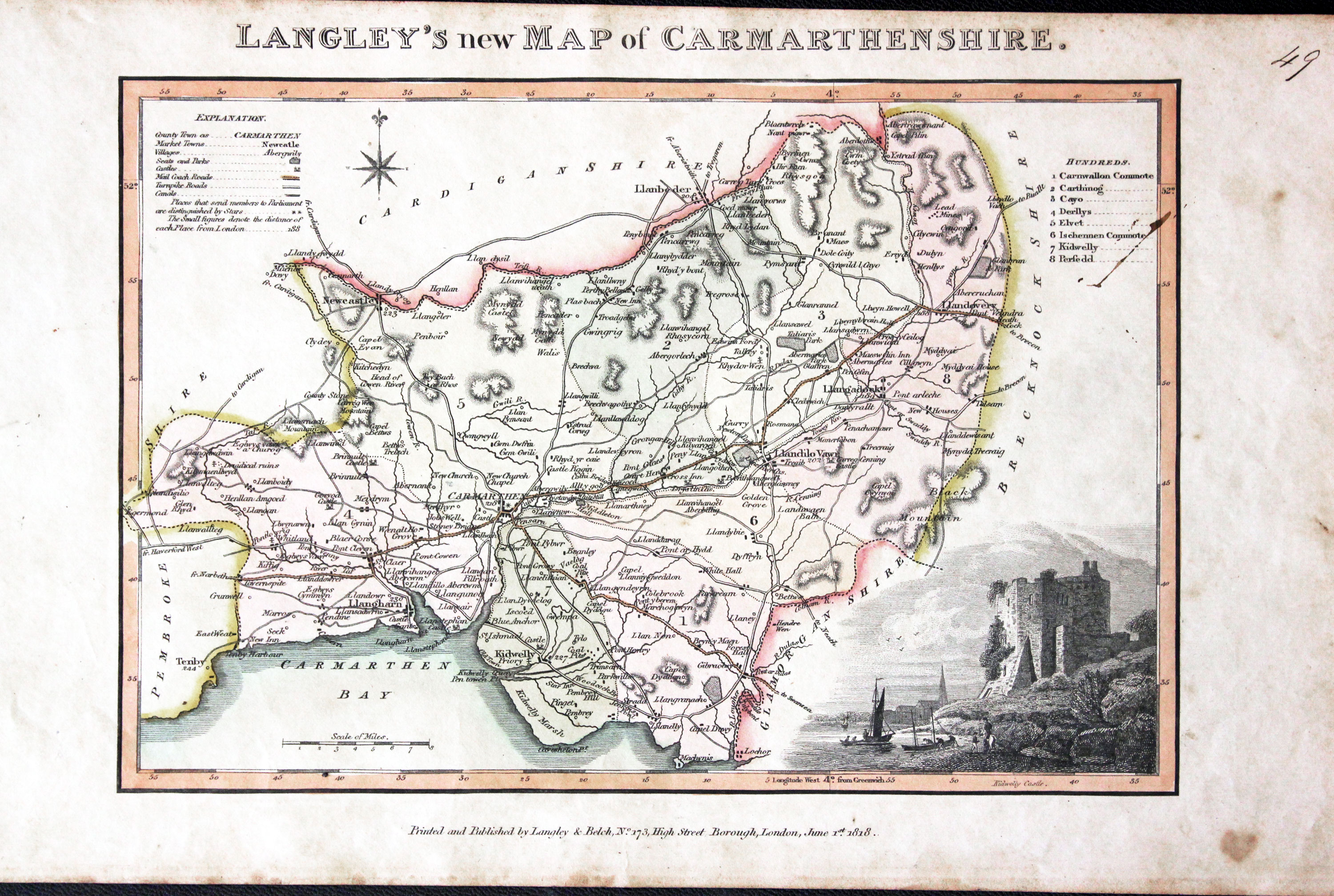
Map of Carmarthenshire by Edward Langey 1818
-

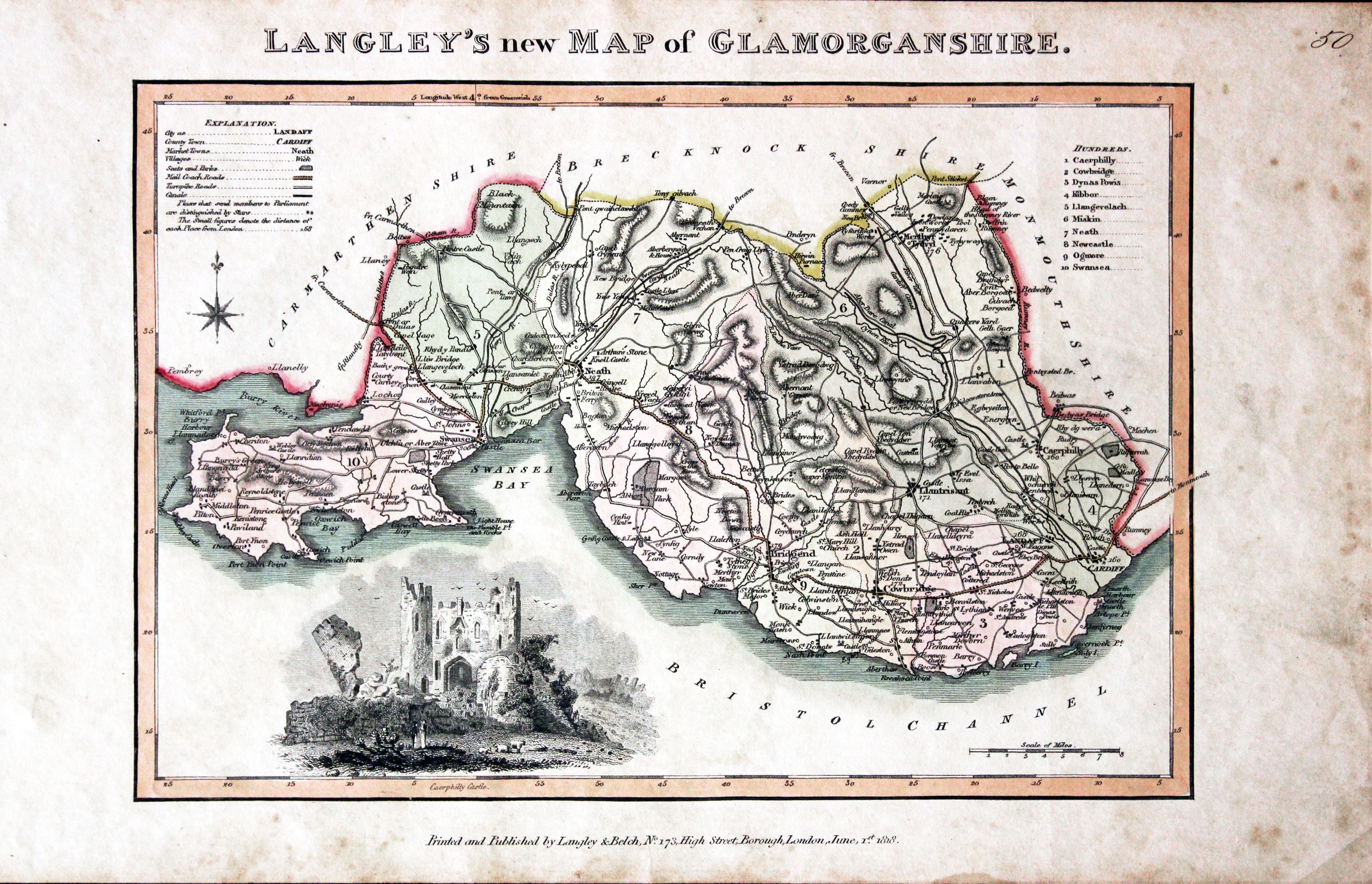
Map of Glamorganshire by Edward Langey 1818
-

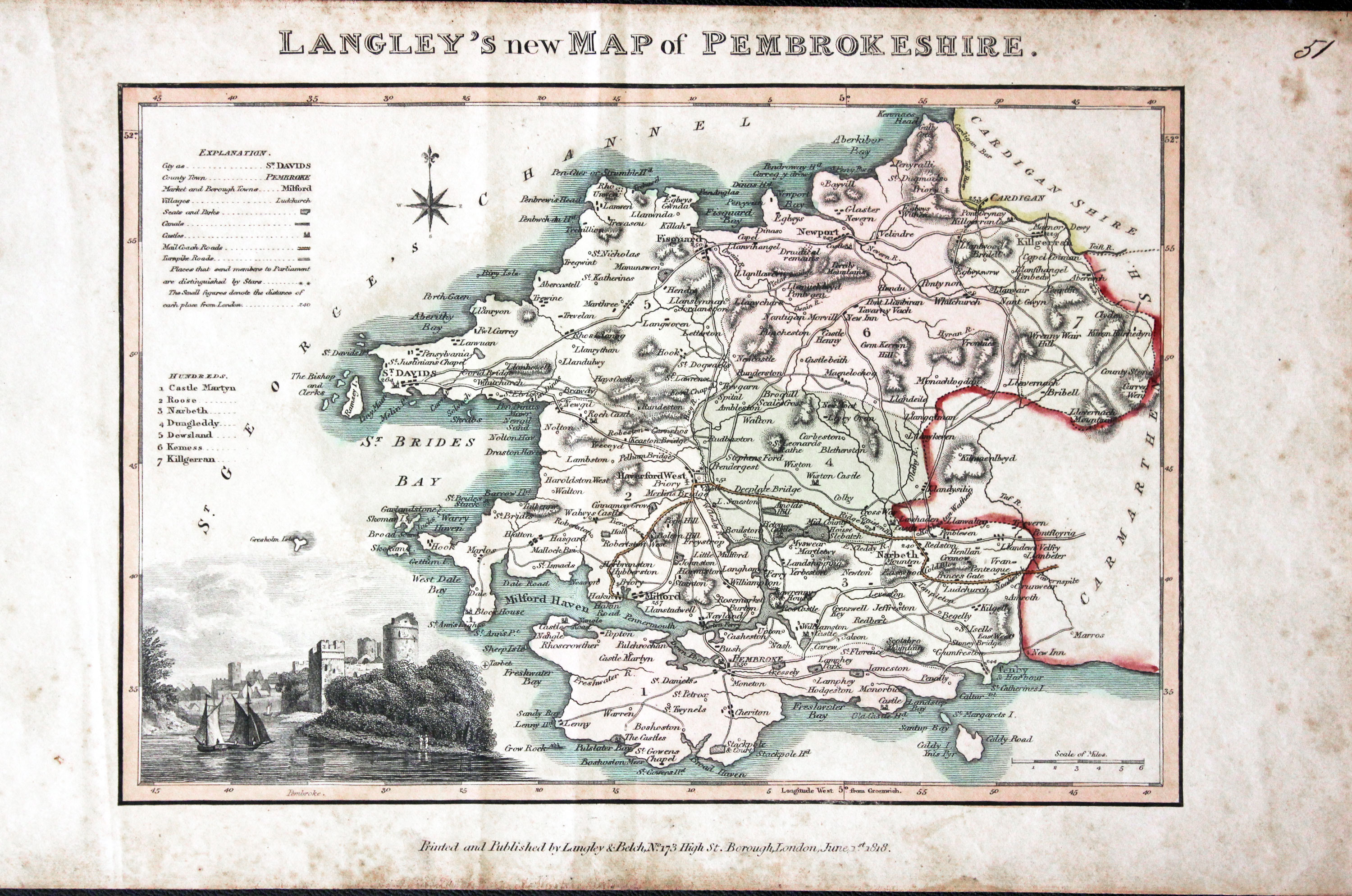
Map of Pembrokeshire by Edward Langey 1818
-
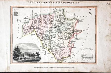
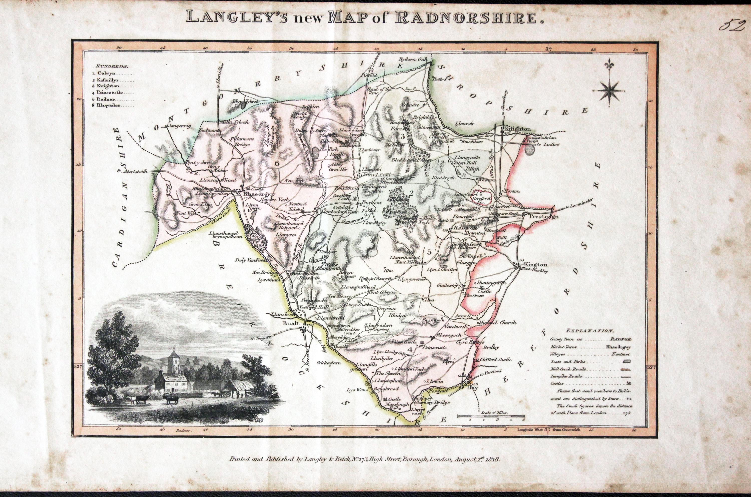
Map of Radnorshire by Edward Langey 1818
List of Maps in the Atlas
Langley's New County Atlas of England and Wales, embellished with a beautiful vignette to each Map, exhibiting all the Mail Coach, Turnpike & Principal Cross Roads. With the Cities, Towns, Villages, Parks, Rivers, & Navigable Canals, Peculiar to each County. Also an Index Map of England and Wales, shewing the connection of one County from Another. London. Published by Langley & Belch, 173 High Street, Borough.
- England and Wales
- Bedfordshire
- Berkshire
- Buckinghamshire
- Cambridgeshire
- Cheshire
- Cornwall
- Cumberland
- Derbyshire
- Devonshire
- Dorsetshire
- Durham
- Essex
- Gloucestershire
- Hampshire
- Herefordshire
- Hertfordshire
- Huntingdonshire
- Kent
- Lancashire
- Leicestershire
- Lincolnshire
- Middlesex
- Monmouthshire
- Norfolk
- Northamptonshire
- Northumberland
- Nottinghamshire
- Oxfordshire
- Rutlandshire
- Shropshire
- Somersetshire
- Staffordshire
- Suffolk
- Surrey
- Sussex
- Warwickshire
- Westmorland
- Wiltshire
- Worcestershire
- Yorkshire
- Anglesea
- Carnarvonshire
- Denbighshire
- Flintshire
- Merionethshire
- Montgomeryshire
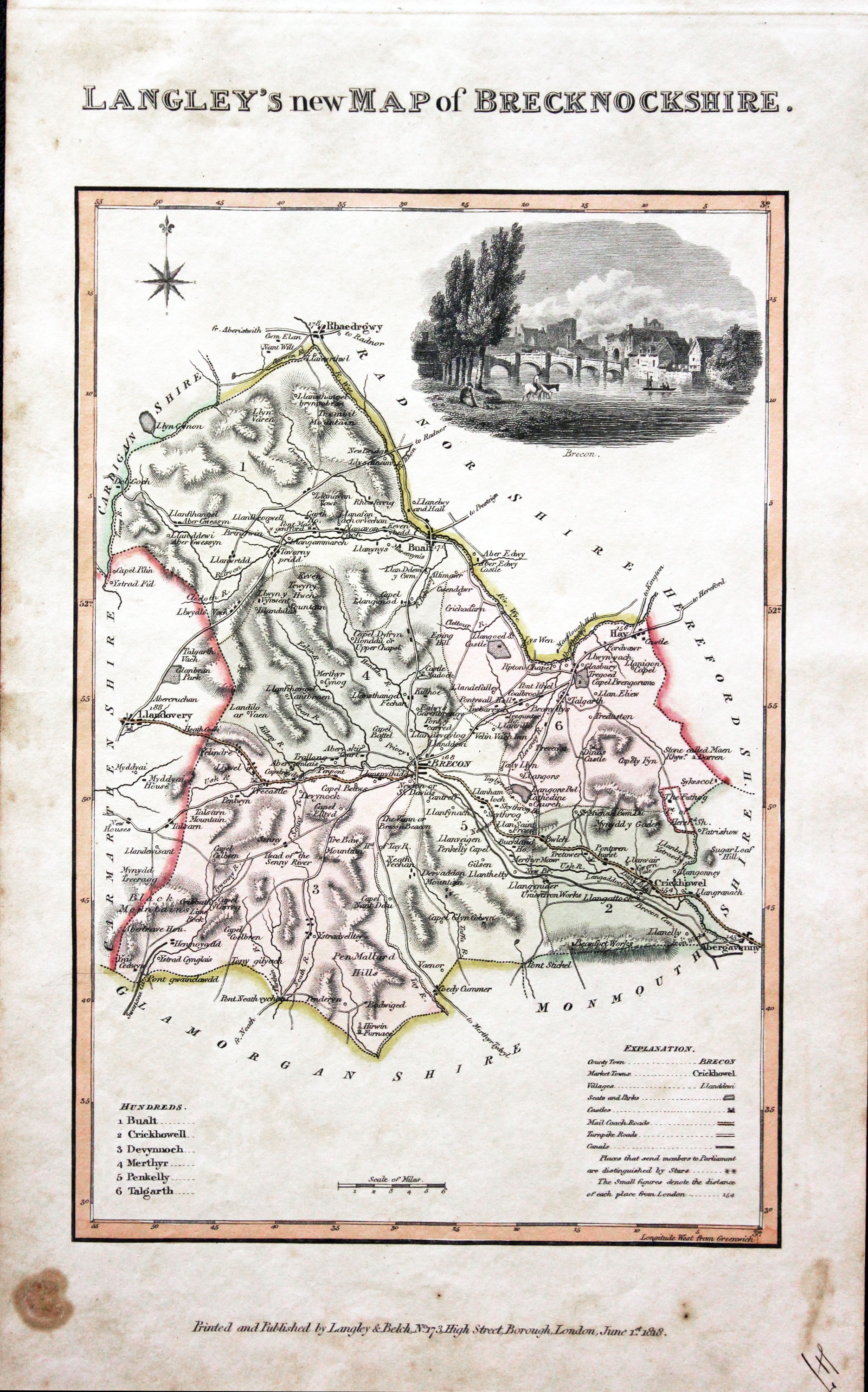
- Brecknockshire
- Cardiganshire
- Carmarthenshire
- Glamorganshire
- Pembrokeshire
- Radnorshire

