RICHARD NICHOLSON of CHESTER
A WORLD OF ANTIQUE MAPS AND PRINTS
The Cartographer
HENRY TEESDALE
Flourished 1828 - 1843
County Maps
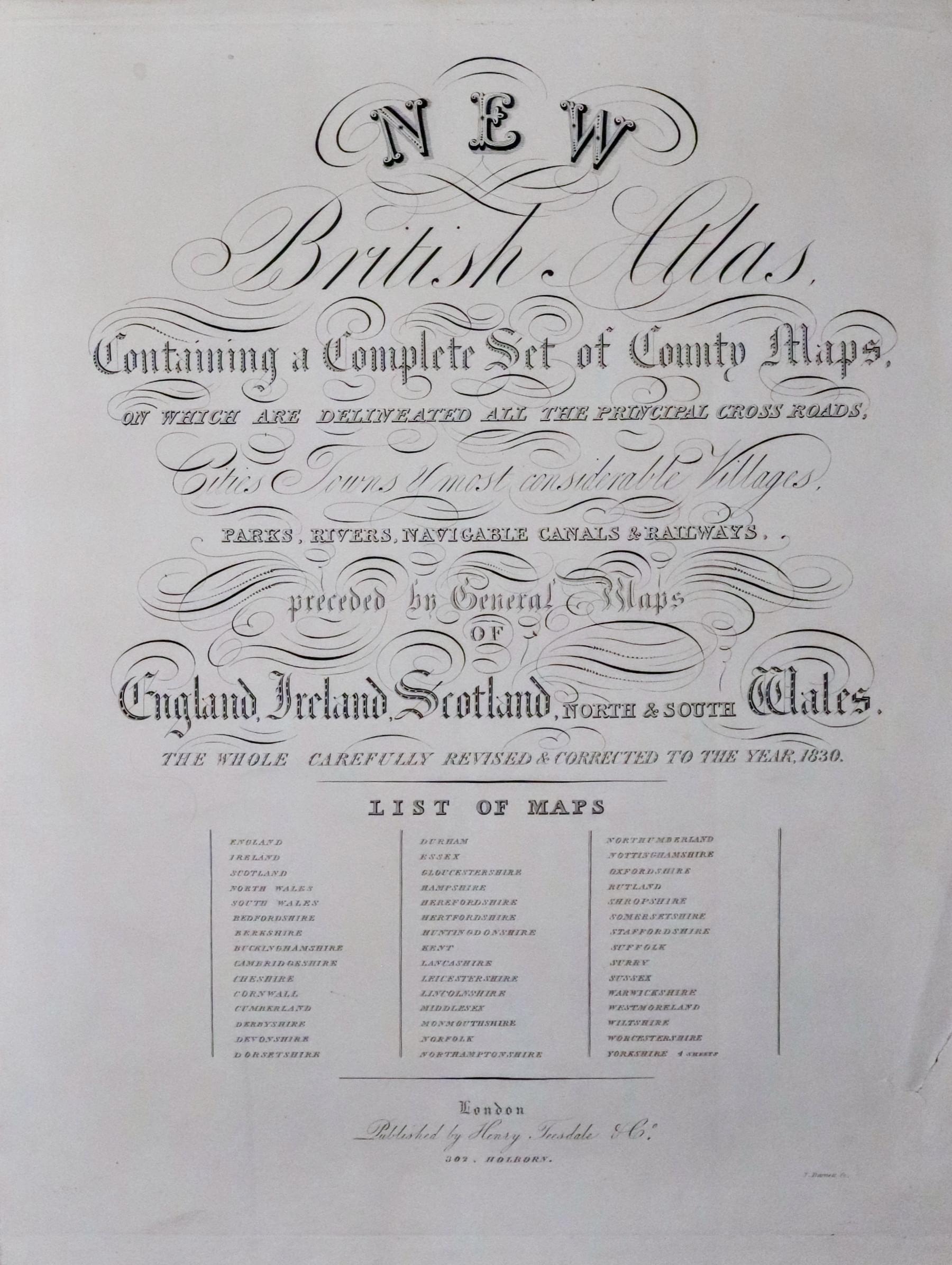
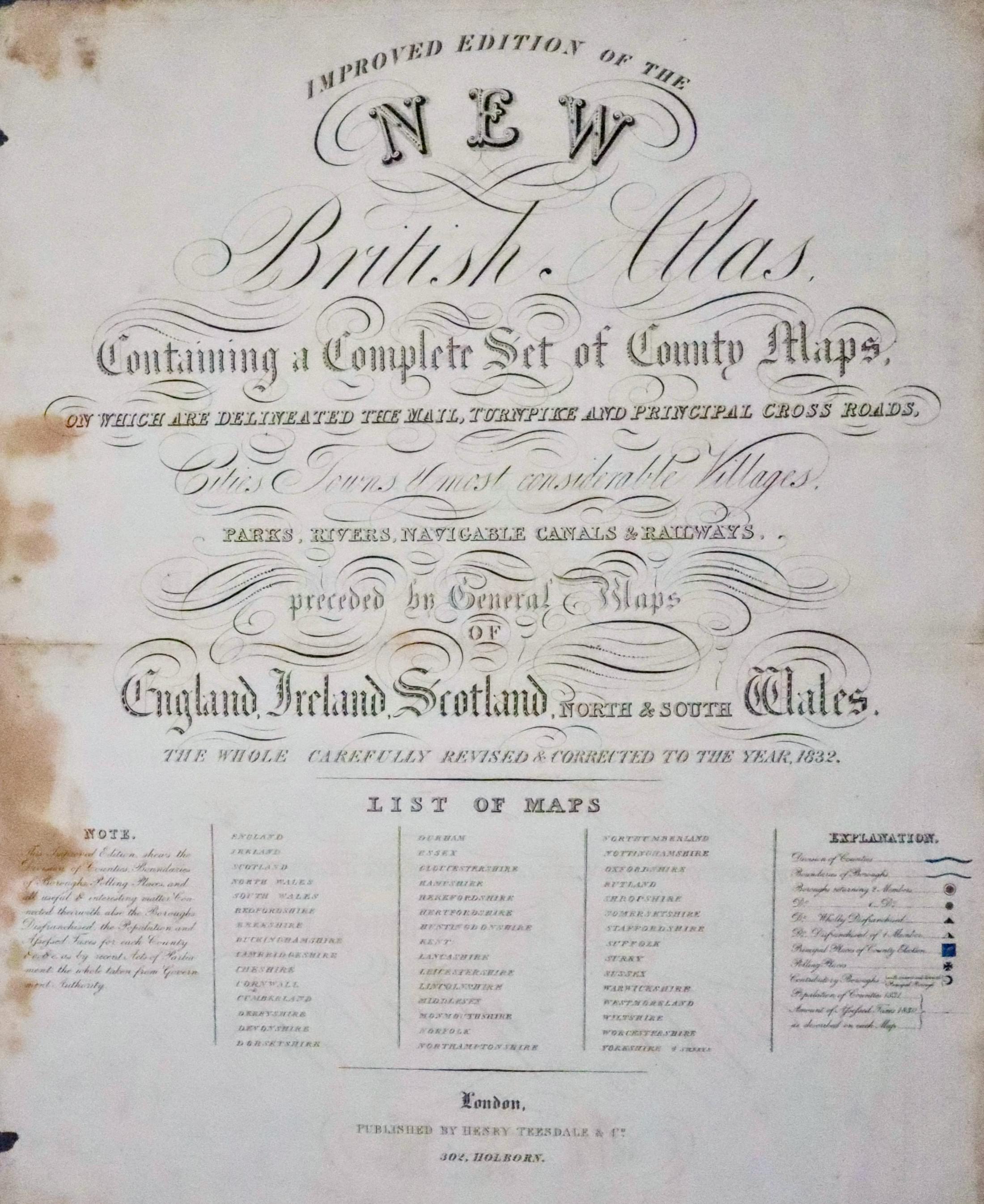
Henry Teesdale was a respected and well established map publisher working from two addresses in London. He was a Founder Fellow of the Royal Geographical Society. To the collectors of British county maps he is best known for his 'New British Atlas' published in 1829 by Henry Teedale & Co. The maps had appeared earlier in 'The English Atlas' published by R. Rowe in 1816. On acquiing the plates Teedale removed the name of the engraver T. Barnett and added his own name. Slight changes were made to some other plates but otherwise the maps were unaltered. The 1829 edition appears to have sold well as there was a further edition of 'New British Atlas' corrected to 1831. The atlas title was was changed to 'Improved Edition of New British Atlas' in 1832. The maps appeared again in 1849 after the plates had been acquired by Henry Collins and the atlas title returned to 'New British Atlas'. The maps appeared again in 'The British Gazetteer' in 1852 with added floral decorations.
As well as this eries of county maps he produced a number of large scale English maps as well as 'New General of of the World' 1831 -35.
ADDRESSES
- 32 High Holborn - until 1838
- 2 Brunswick Row, Queen Square, London - until 1842
TITLE PAGES
-
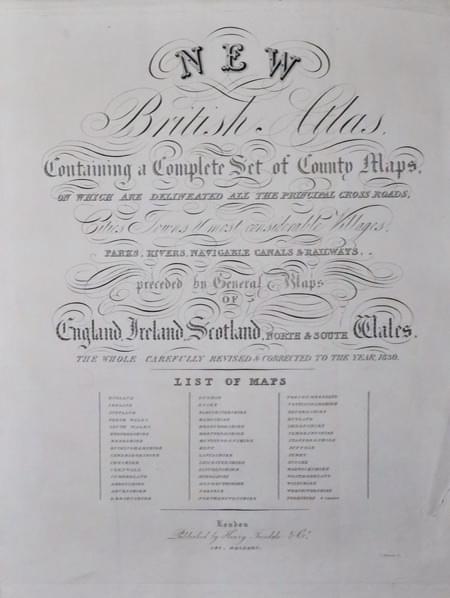
Title page Improved British Atlas by Henry Teesdale 1830
-
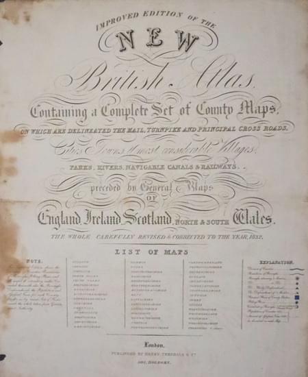
Title page Improved British Atlas by Henry Teesdale 1832
-
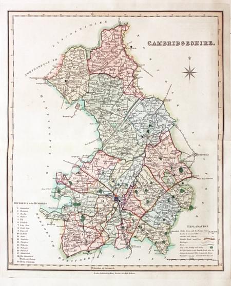
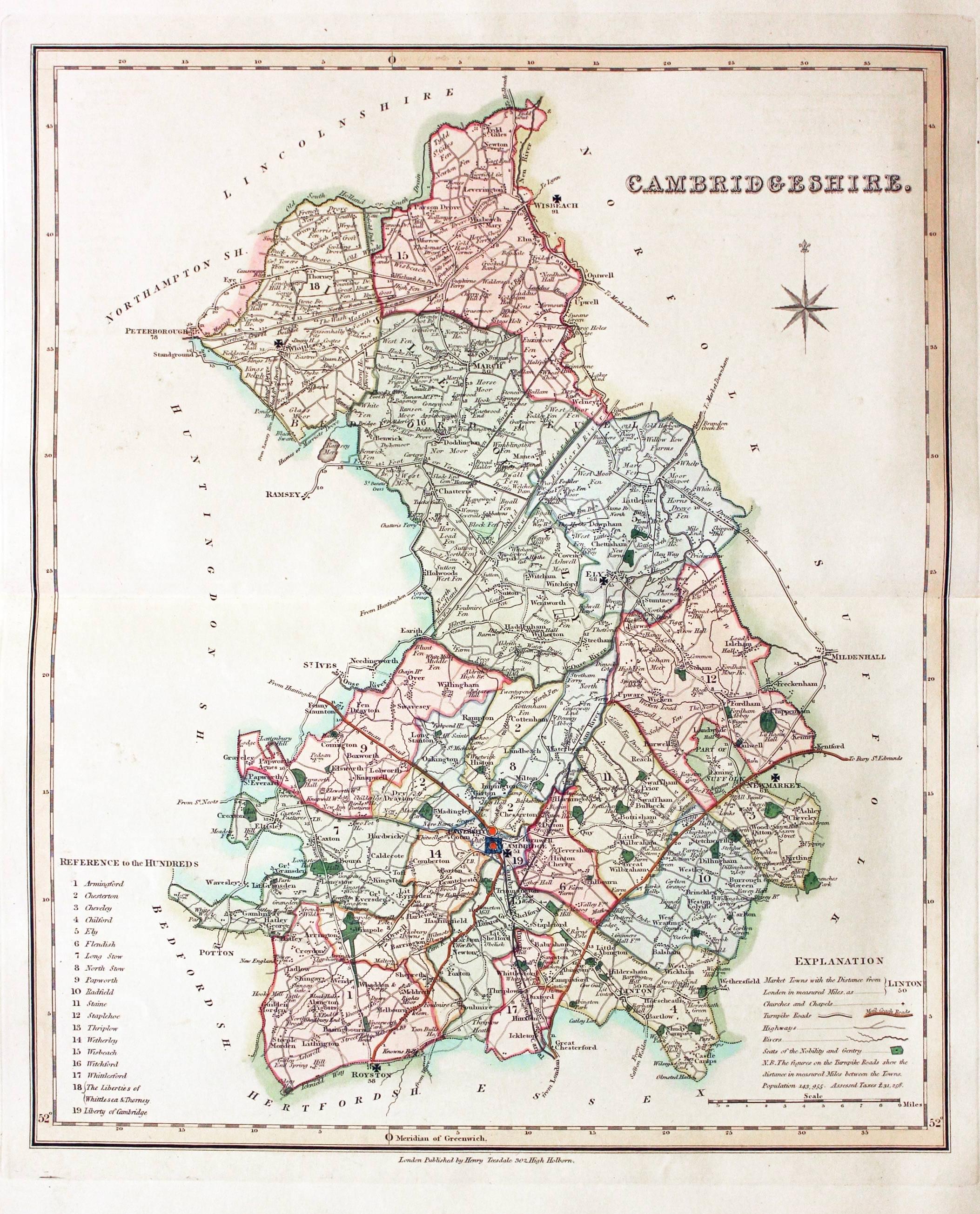
Map of Cambridgeshire by Henry Teesdale 1835
-
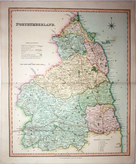
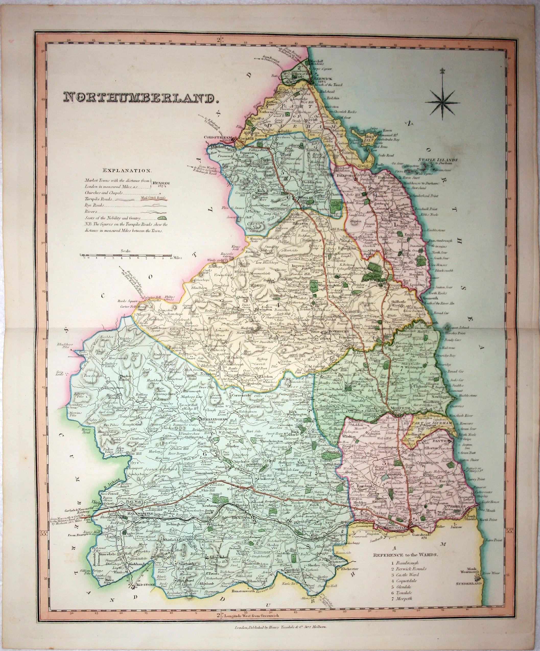
Map of Northumberland by Henry Teesdale 1832
-
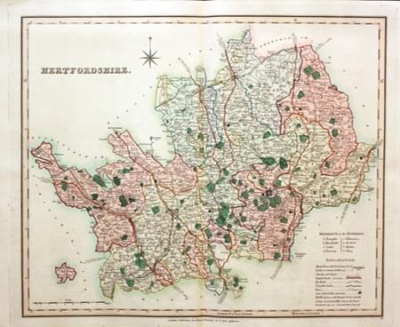
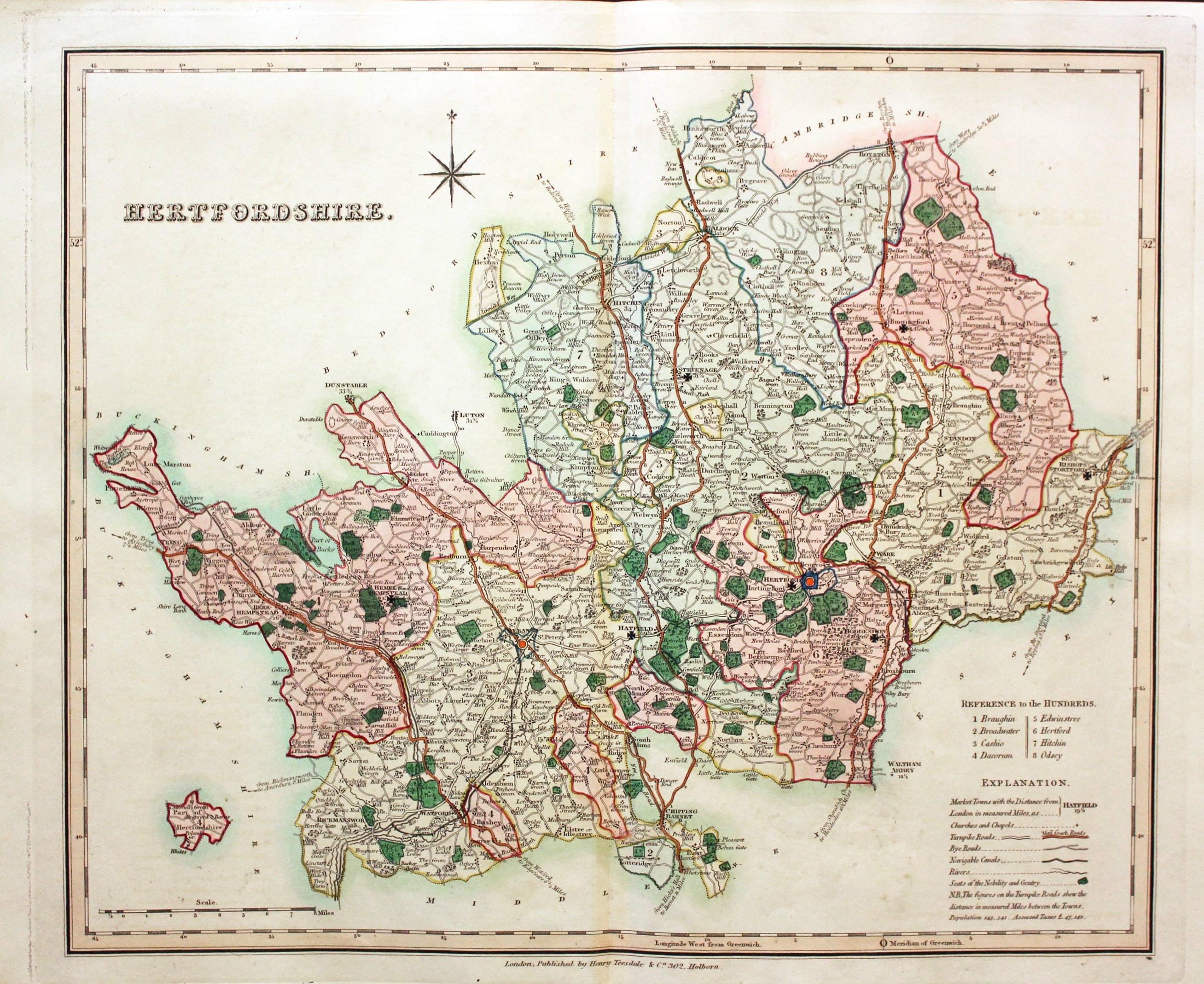
Map of Hertfordshire by Henry Teesdale 1832
-
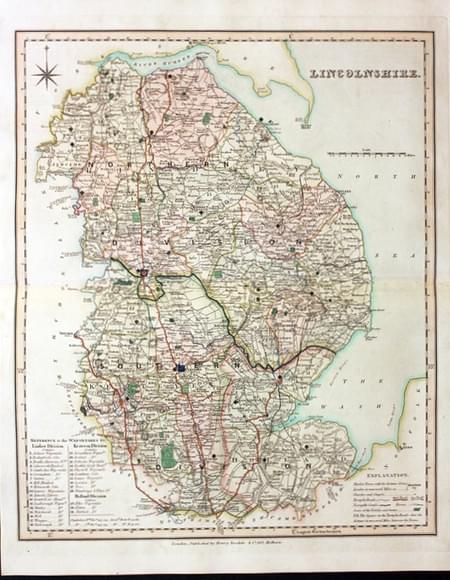
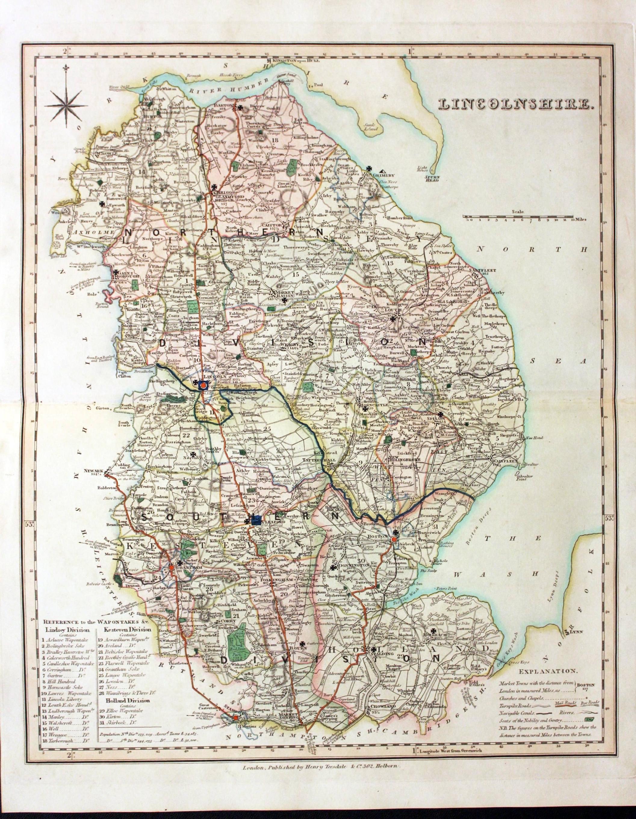
Map of Lincolnshire by Henry Teesdale 1832
-
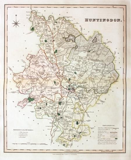
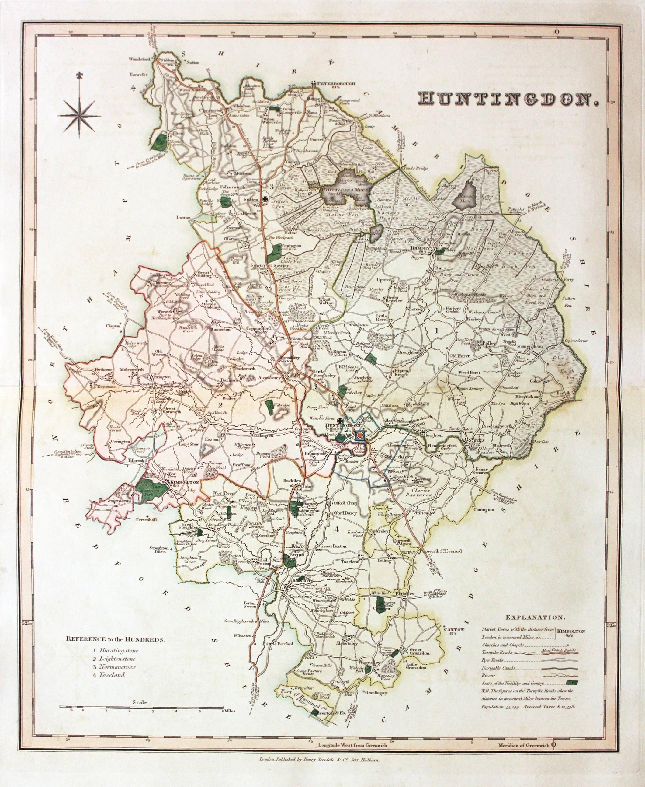
Map of Huntingdonshire by Henry Teesdale 1832
-
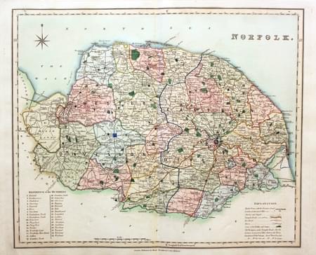
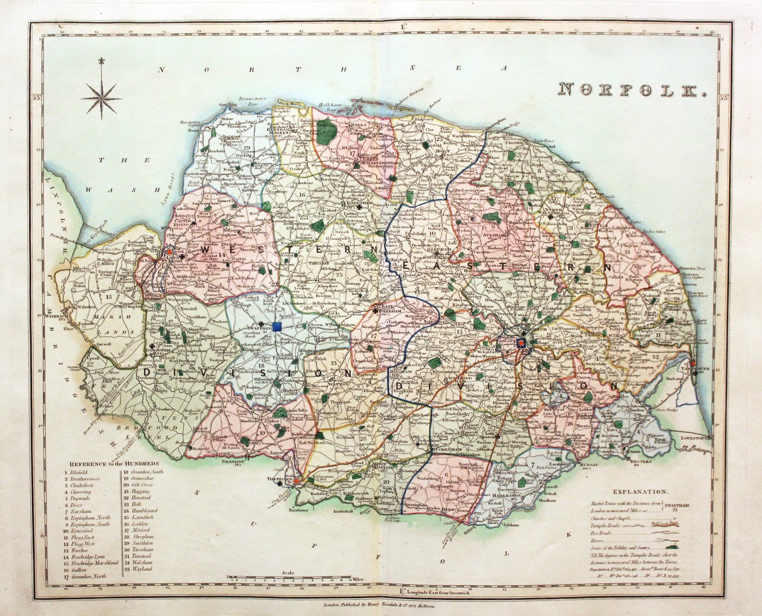
Map of Norfolk by Henry Teesdale 1832
-
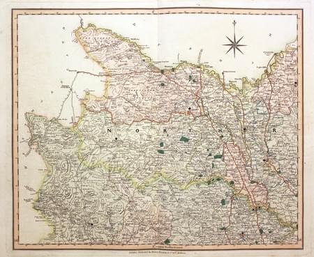
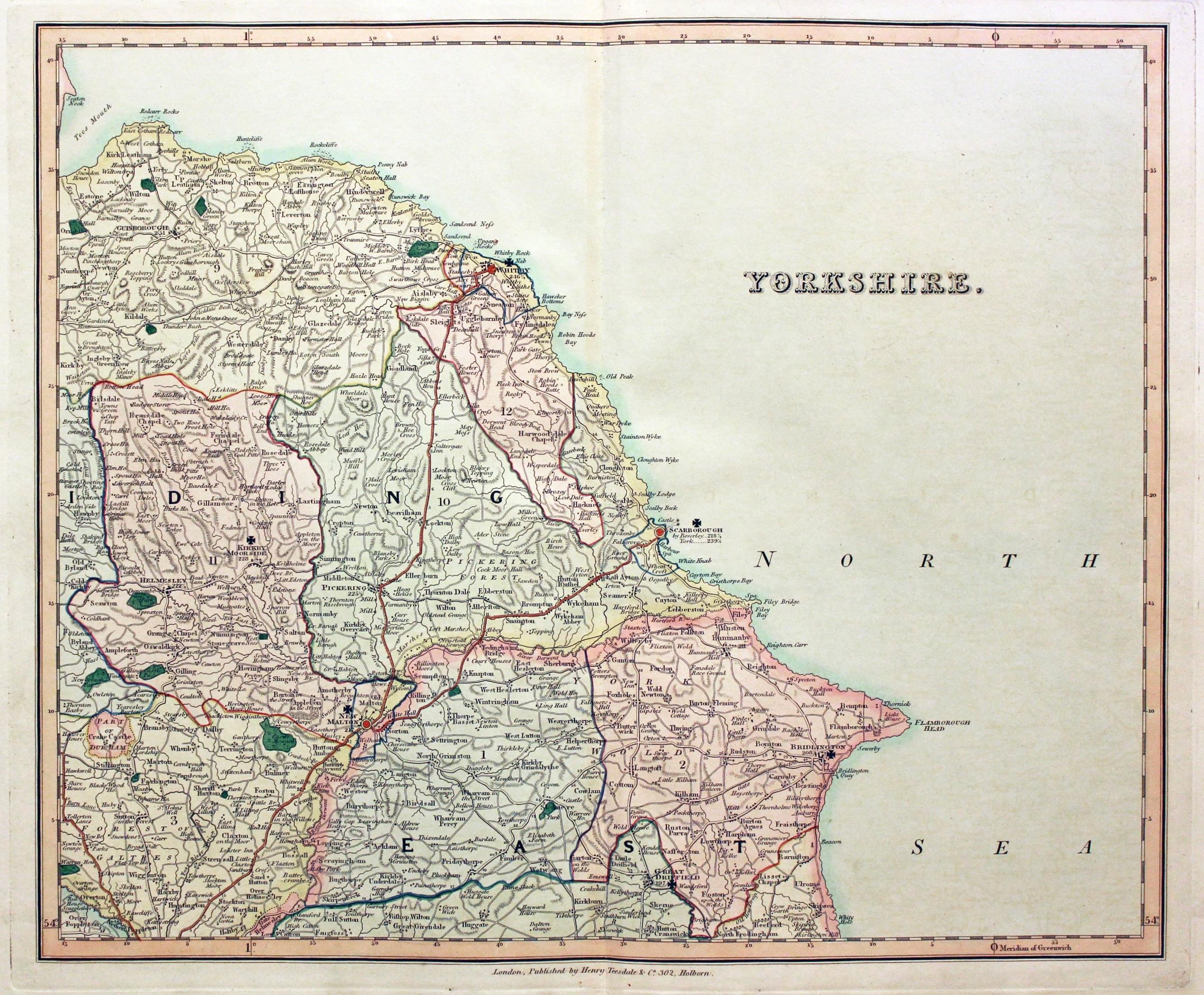
Map of East Yorkshire by Henry Teesdale 1832. Early Hand colouring
-
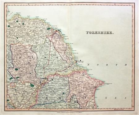
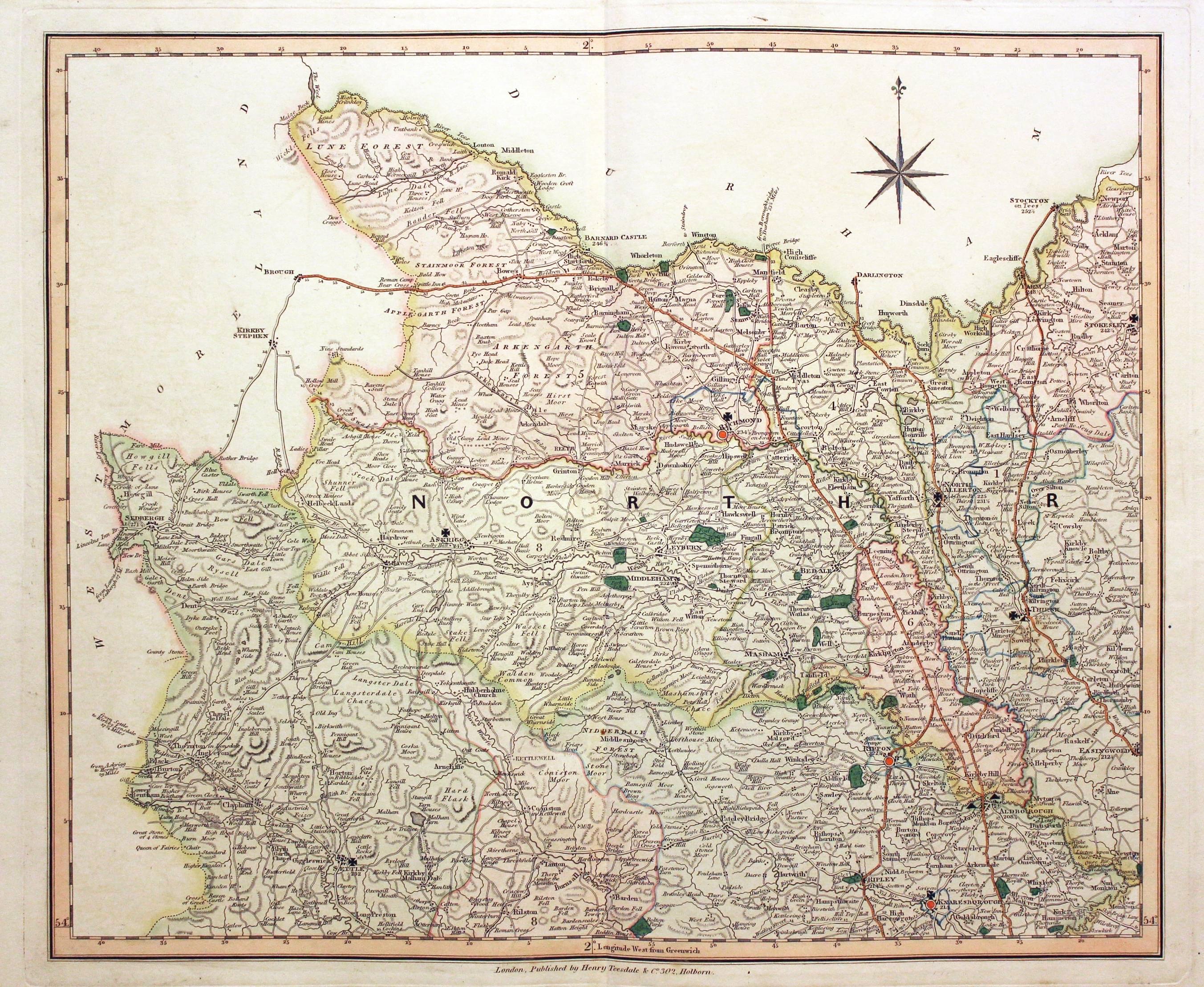
Map of West Yorkshire by Henry Teesdale 1832. Early Hand colouring
-
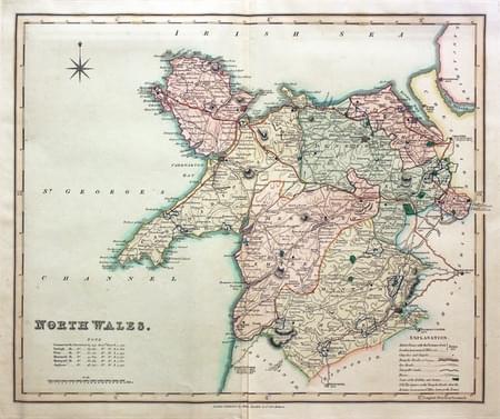
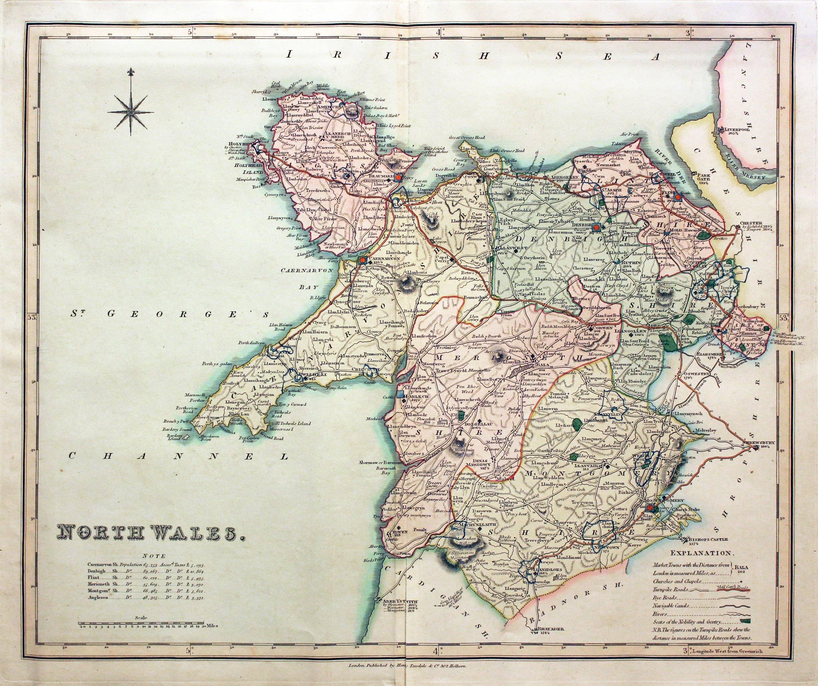
Map of North Wales by Henry Teesdale 1832. Early Hand colouring
Just my personal opinion
I have always liked these county maps by Henry Teesdale. They are detailed and of a good size, clearly engraved and the early outline and wash hand colouring can be very attractive. A good map to start a county map collection.
