Antique Maps of Algeria - Abyssinia & Egypt
Richard Nicholson of Chester
A World of Antique Maps and Prints
Established in 1961
All the Maps on this page are guaranteed to be genuine early specimens
published in or around the year stated
ABYSSINIA
19th Century - Early Hand Colouring
-
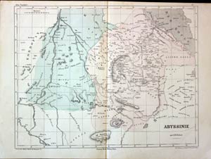
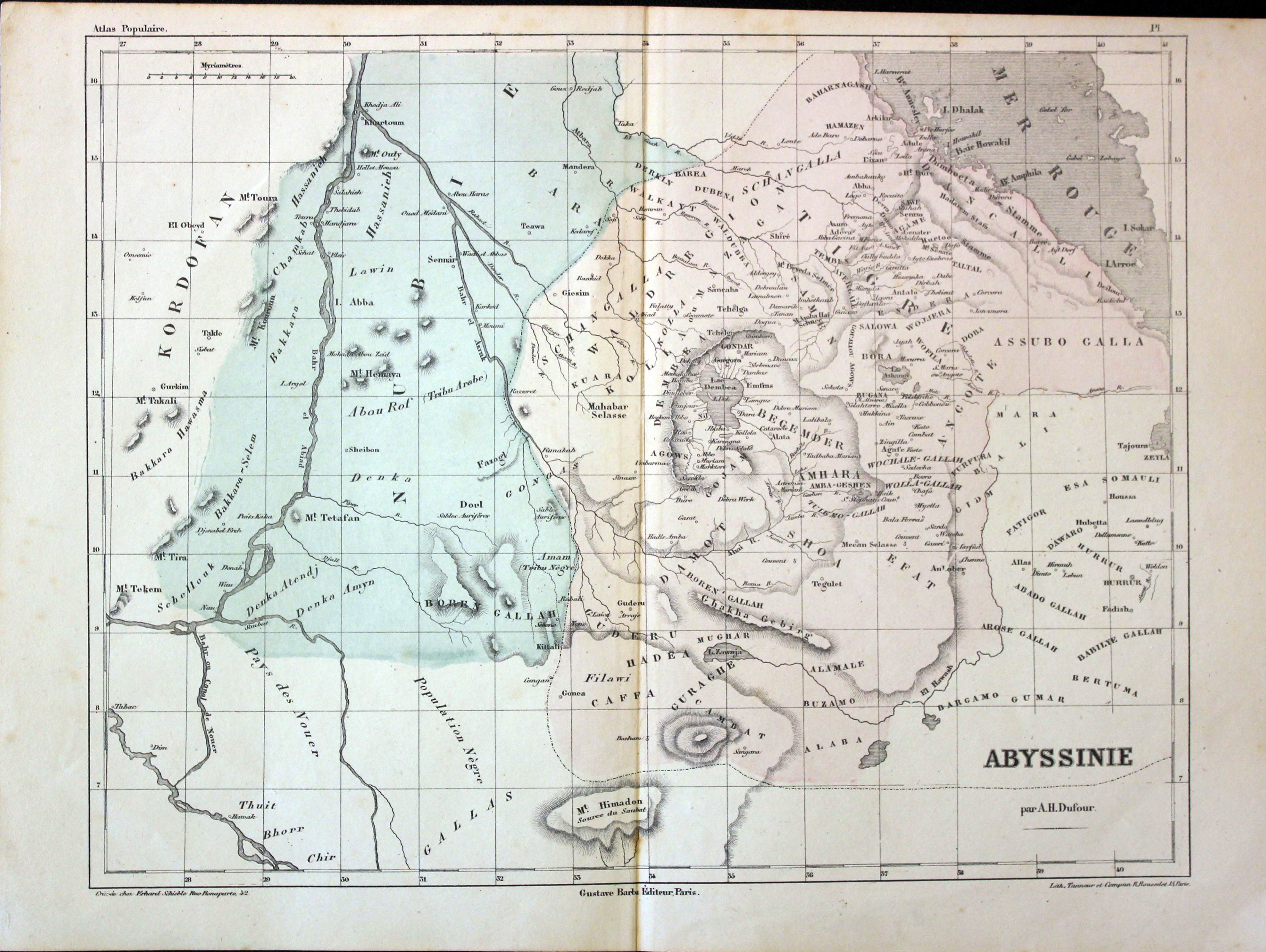
Abyssinia, Auguste-Henri Dufour, 1855
31219 Abyssinia, Auguste-Henri Dufour, 1855. Price: 24.00
ABYSSINE PAR A. H. DUFOUR
An engraved map of the county. 12 1/8 x 9 1/2 inches. Original wash hand colouring. Good clean condition.
ALGERIA
18th Century Sea Chart
-

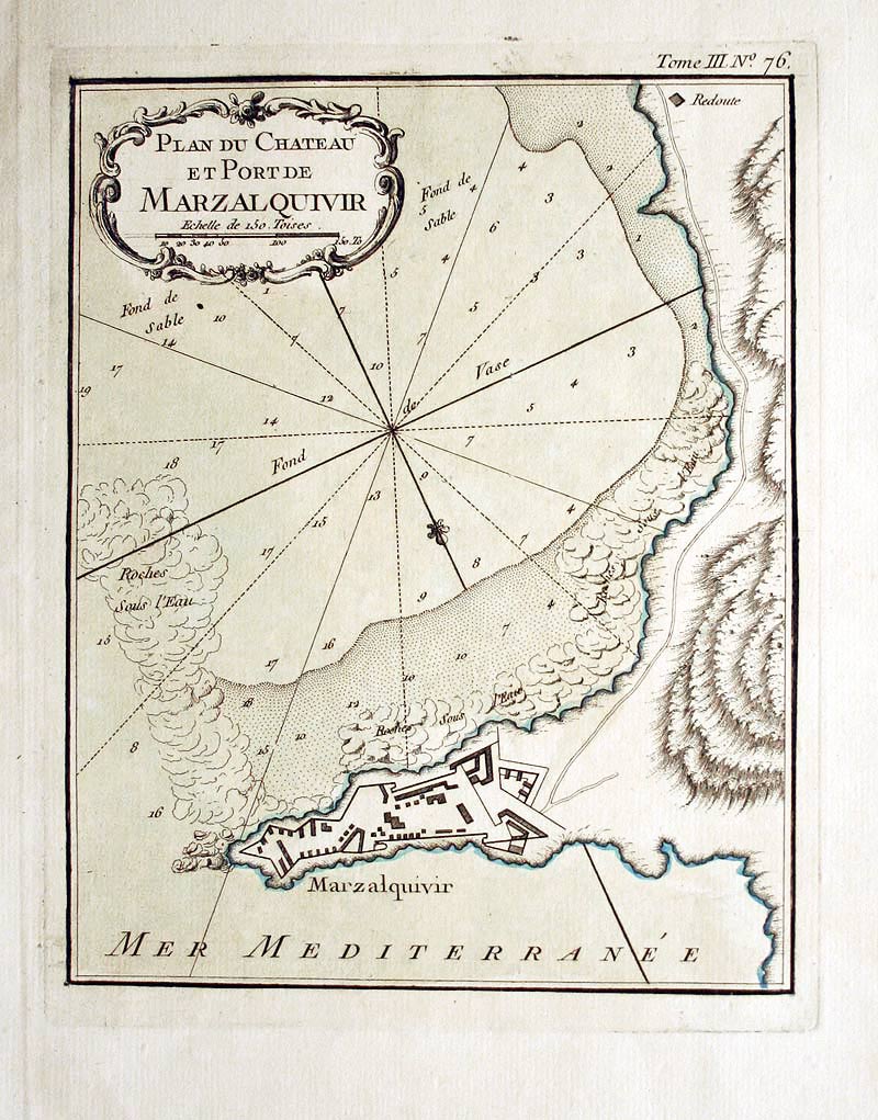
Marzalquivir, Jacques Nicolas Bellin, 1764
27786 Marzalquivir, Jacques Nicolas Bellin, 1764. Price: 44.00
PLAN DU CHATEAU DE MARZALQUIVIR
An engraved chart and plan embellished with an uncoloured rococo title cartouche. 6 3/4 x 8 1/4 inches. Original outline and wash hand colouring. Fine condition.
Map number 76 from Volume 3 of Le Petit Atlas Maritime
18th Century Sea Chart
-

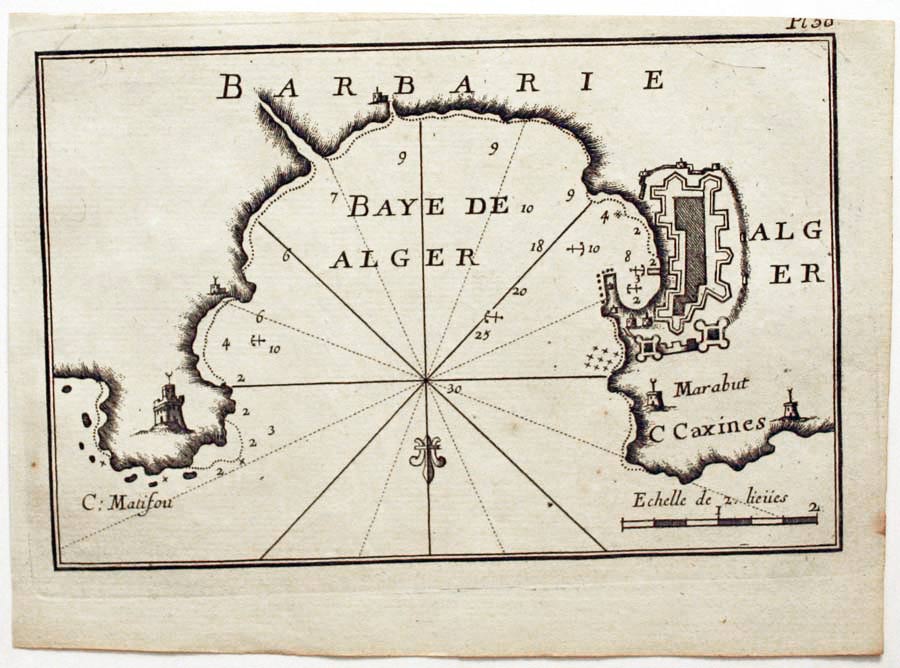
Algiers, Joseph Roux, 1764
27903 Algiers, Joseph Roux, 1764. Price: 40.00
ALGIERS
A small engraved chart showing the town and harbour of Algiers in Algeria. Shows the soundings, anchorage points and lighthouses. 7 1/2 x 5 inches. Uncoloured. Good condition.
Plate 50 From Receuil Des Principaux Plans; des Ports, et Rades de la Mer Mediterranée, Estraits, de ma. Carte Douze Feüilles.... Marselle 1764
19th Century
-

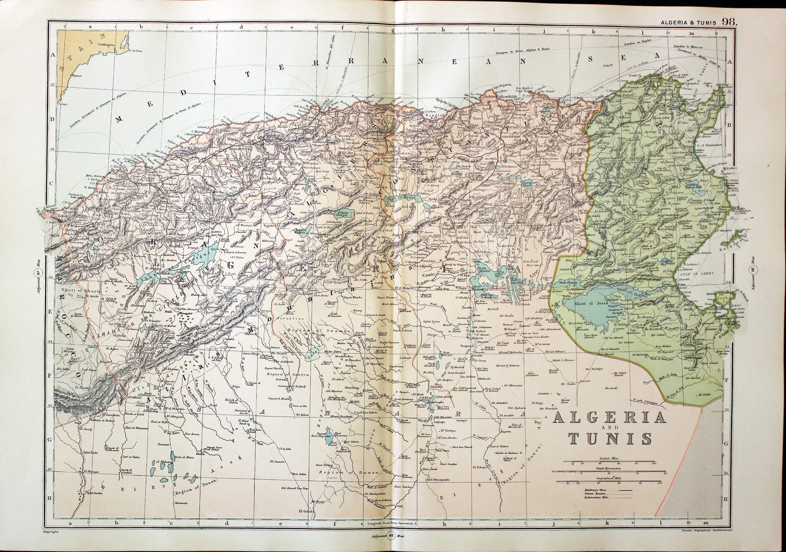
Algeria and Tunis, George Washington Bacon, 1891
31137 Algeria and Tunis, George Washington Bacon, 1891. Price: 19.00
ALGERIA AND TUNIS
A detailed map of the two North African countries. 17 x 12 1/2 inches. Colour printed. Good blank margins. Good clean condition.
From: Complete Atlas of the World
19th Century - Early Hand Colouring
-

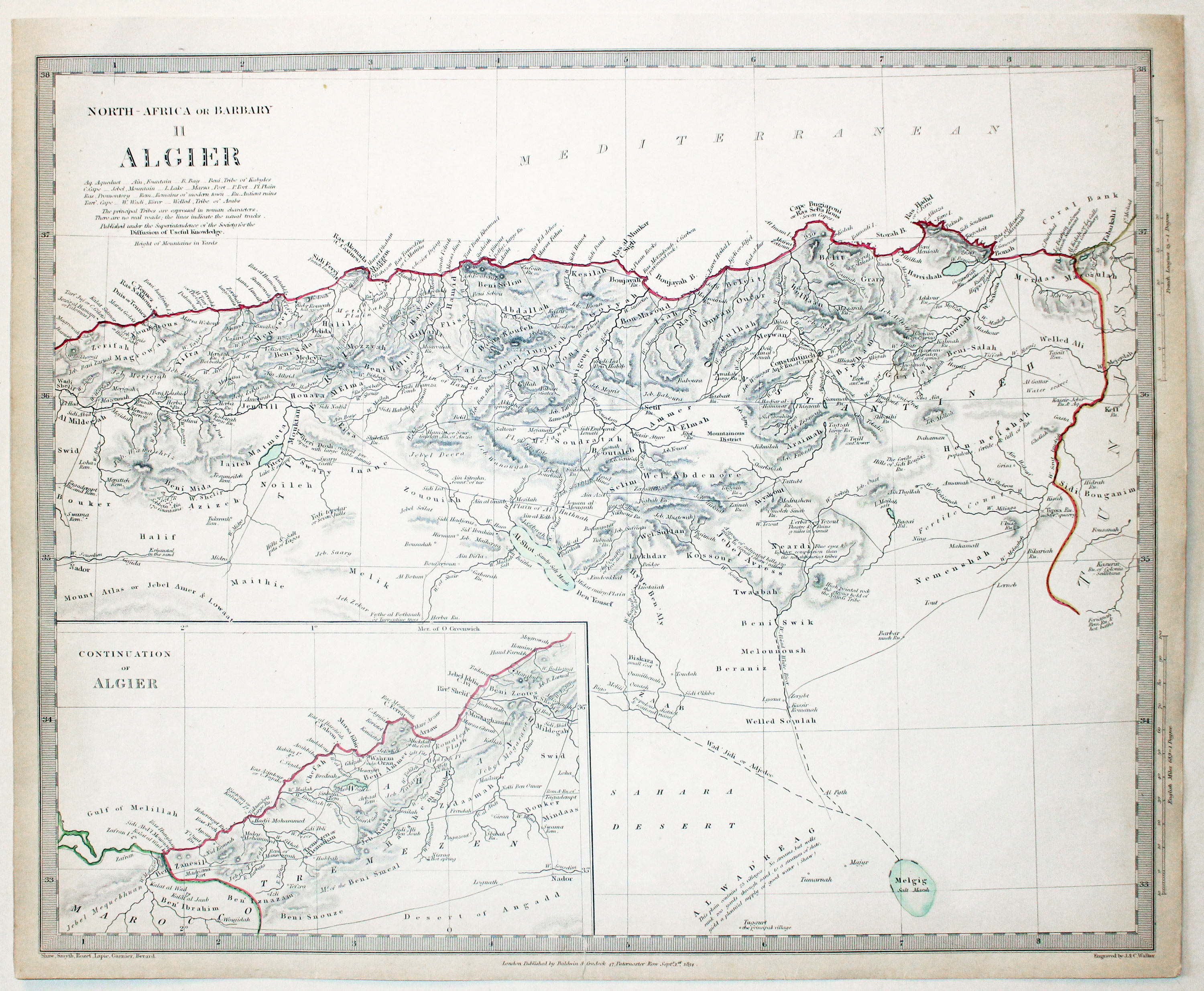
Algeria and Barbary Coast, S.D.U.K. c.1837
32683 Algeria and Barbary Coast, S.D.U.K. c.1837. Price: 25.00
NORTH AFRICA OR BARBARY II ALGIER
A detailed engraved map of the north coast of Algeria which is continued within an inset map. 15 1/2 x 12 1/2 inches. Original outline hand colouring. Imprint of the publisher Baldwin & Craddock beneath dated 1834. A little light soiling in the blank margins. Small repair patch on verso for small tear passing through the publishers imprint. Otherwise good condition.
EGYPT
19th Century - Early Hand Colouring
-

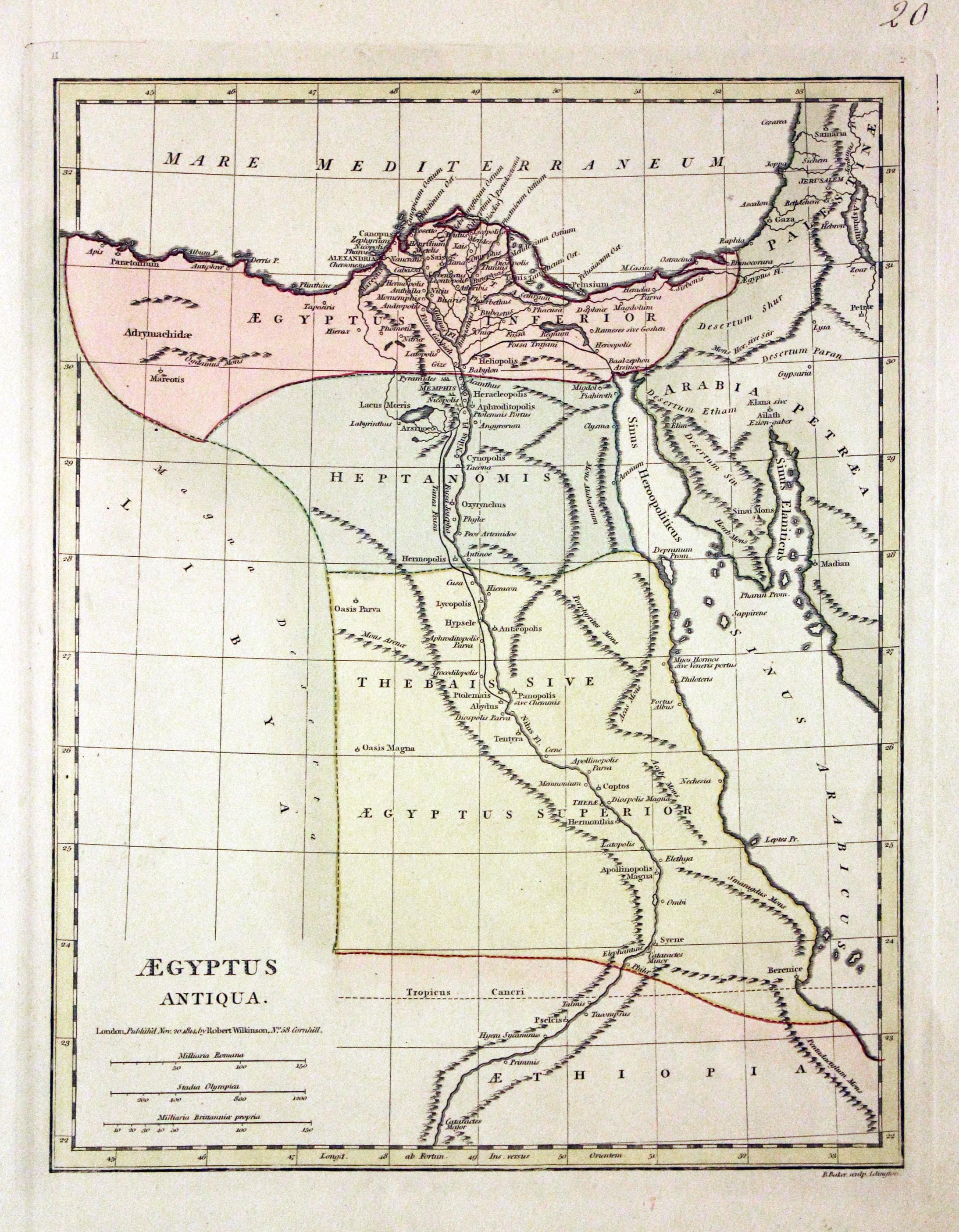
Ancient Egypt, Robert Wilkinson, 1815
25957 Ancient Egypt, Robert Wilkinson, 1815. Price: 48.00
AEGYPTUS ANTIQUA
An engraved map of the country in ancient times. Dated 1814. 8 3/4 x 11 1/4 inches. Original outline and wash hand colouring. Good condition.
From: Atlas Classica
19th Century - Early Hand Colouring
-

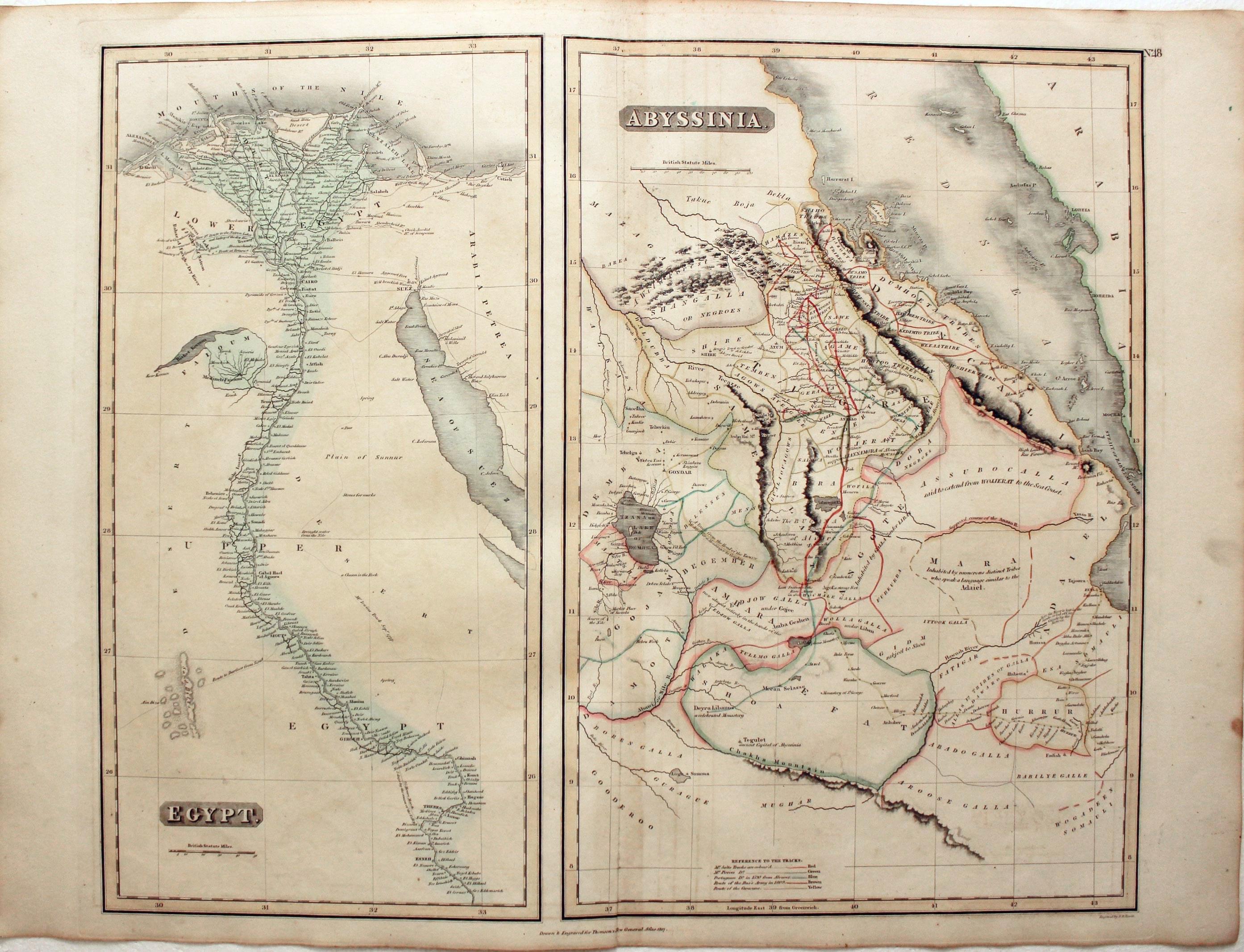
Egypt / Abyssinia, John Thomson, 1828
27699 Egypt / Abyssinia, John Thomson, 1828. Price: 72.00
EGYPT. ABYSSINIA
Two maps on one sheet. Egypt measures 10 x 19 1/3 inches. Abyssinia measures 13 x 19 1/2 inches. Both with original outline and wash hand colouring. Good condition.
From: A New General Atlas
18th Century Sea Chart
-
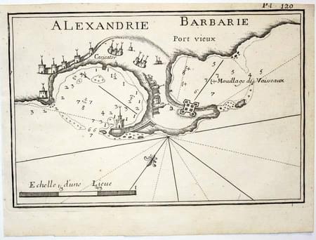
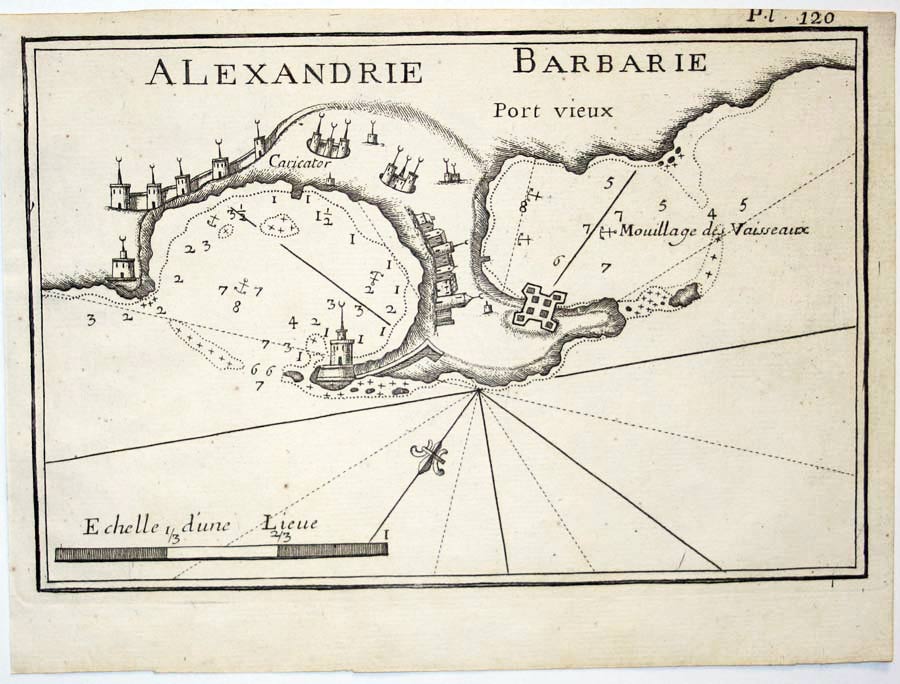
Alexandria, Joseph Roux, 1764
27957 Alexandria, Joseph Roux, 1764. Price: 57.00
ALEXANDRIE
A small engraved chart showing the town and port of Alexandria. Shows the depth soundings and anchorage points. Scale. 7 1/2 x 5 inches. Uncoloured. Good condition.
Plate 120 From: Receuil Des Principaux Plans; des Ports, et Rades de la Mer Mediterranée, Estraits, de ma. Carte Douze Feüilles.... Marselle 1764
19th Century
-
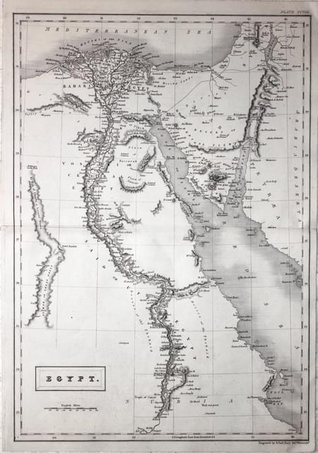
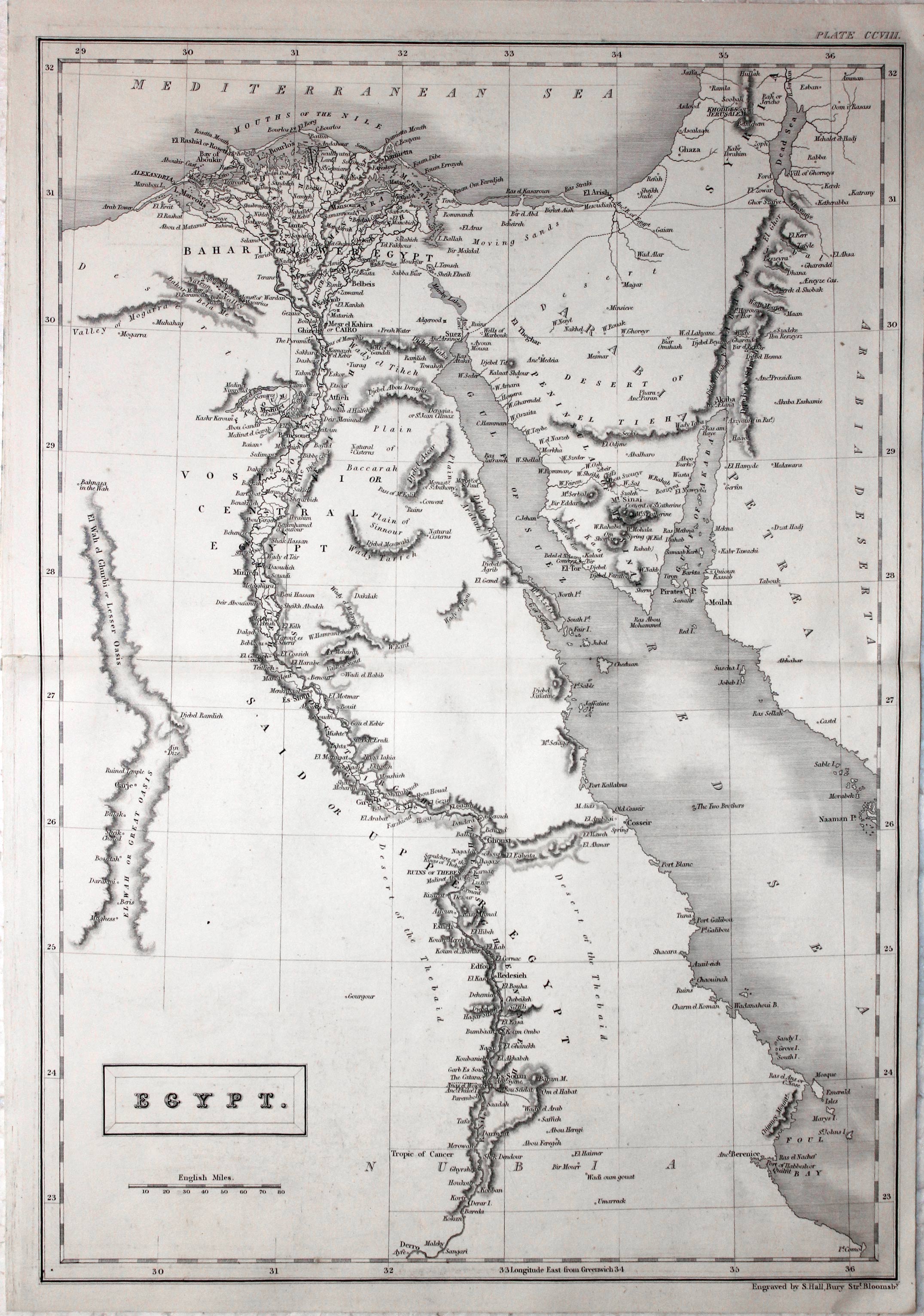
Egypt, Sidney Hall, 1842
26041 Egypt, Sidney Hall, 1842. Price: 26.00
EGYPT
A good detailed map of the country. Title panel and scale. 10 1/4 x 14 3/4 inches. Uncoloured. Good condition.
19th Century - Early Hand Colouring
-

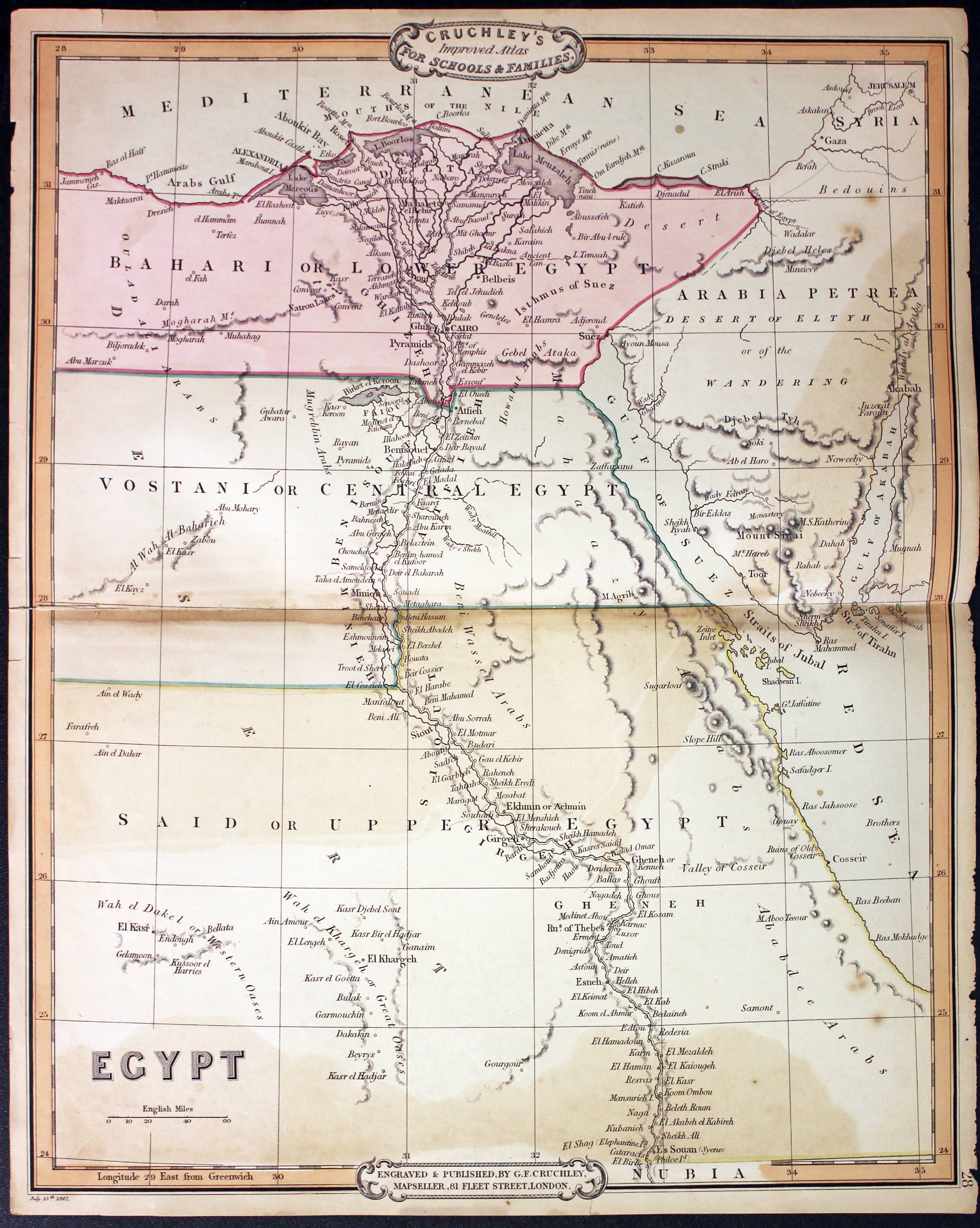
Egypt, George Frederick Cruchley, 1848
31527 Egypt, George Frederick Cruchley, 1848. Price: 45.00
EGYPT
A clearly engraved map bearing the imprint July 15th 1841. Publishers rococo cartouche inscribed Cruchley’s Improved Atlas, for Schools & Families. 13 3/4 x 17 1/4 inches. Original outline and wash hand colouring. Small slits at top and bottom of the centre fold. Some light browning in the centre fold and some small nicks in the left and right hand blank margins.
From: Cruchley’s General Atlas for the use of Schools and Private Tuition
Late 16th Century
-

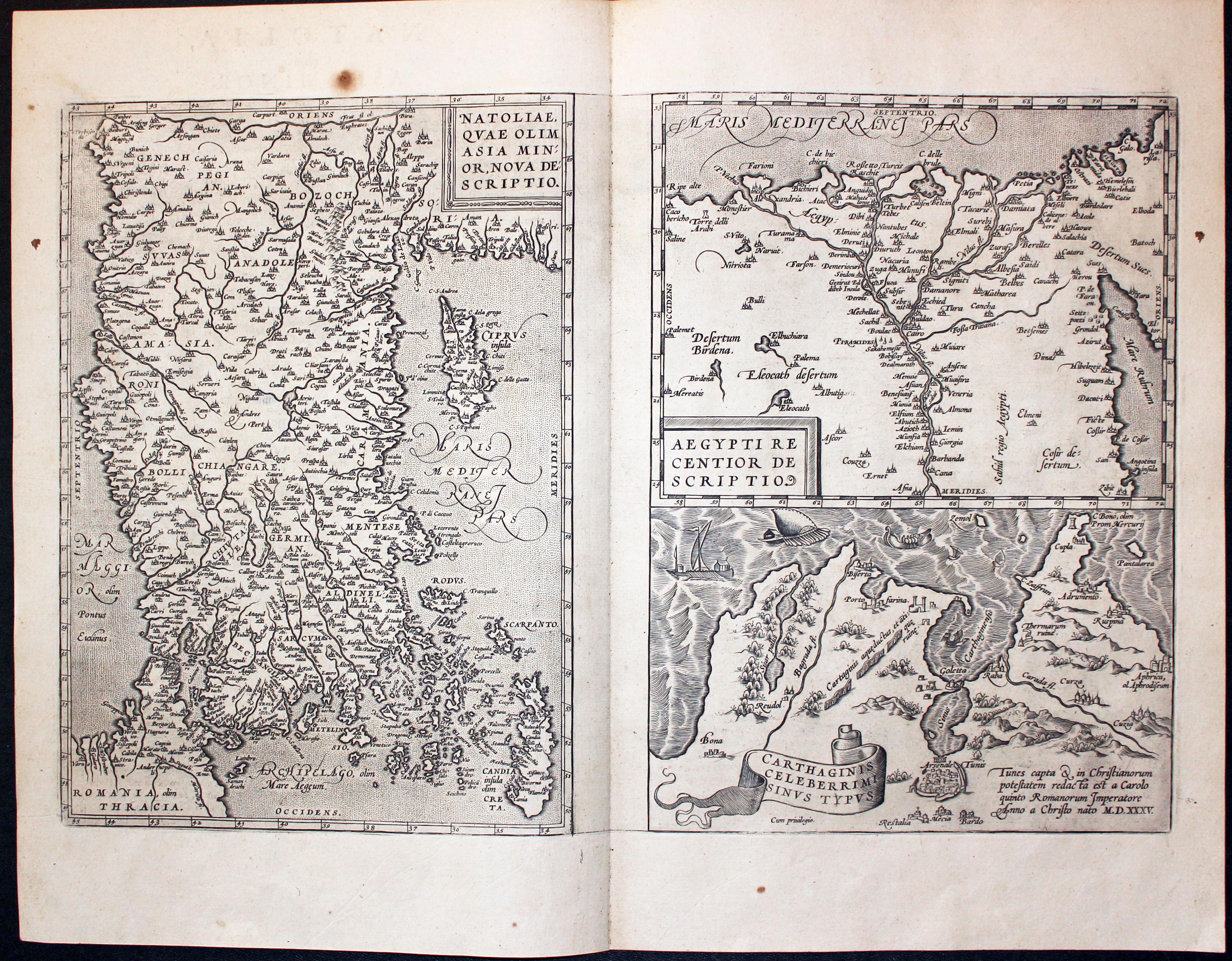
Asia Minor, Egypt nd Carthage Abraham Ortelius 1595
32007 Turkey, Egypt and Carthage, Abraham Ortrelius 1595. Price: 240.00
NATOLIAE QUAE OLIM ASIA MINOR, NOVA DESCRIPTIO / AEGYPTI RECTIOR DESCRIPTIO / CARTHAGINIS CELEBERRIMIINUS TYPUS
Three maps on one sheet by this famous 16th century cartographer. The one on the left shows Asia Minor, Cyprus, Crete and the Eastern Mediterranean. Top right is a map showing part of Egypt with the Nile as far south as Aswan based on Paolo Forlani’s map of 1556.. The map beneath shows the city of Cartahge and surrounding area. Together they measure some 19 x 12 1/2 inches. Original centre fold. Latin text on verso. Uncoloured. Total of five small brown marks in the blank margins. Otherwise find clean crisp condition. This map has come straight from the atlas and is offered for the first time as a single map.
From: Theatrum Orbis Terrarum
Egypt & Palestine in Ancient Times
-

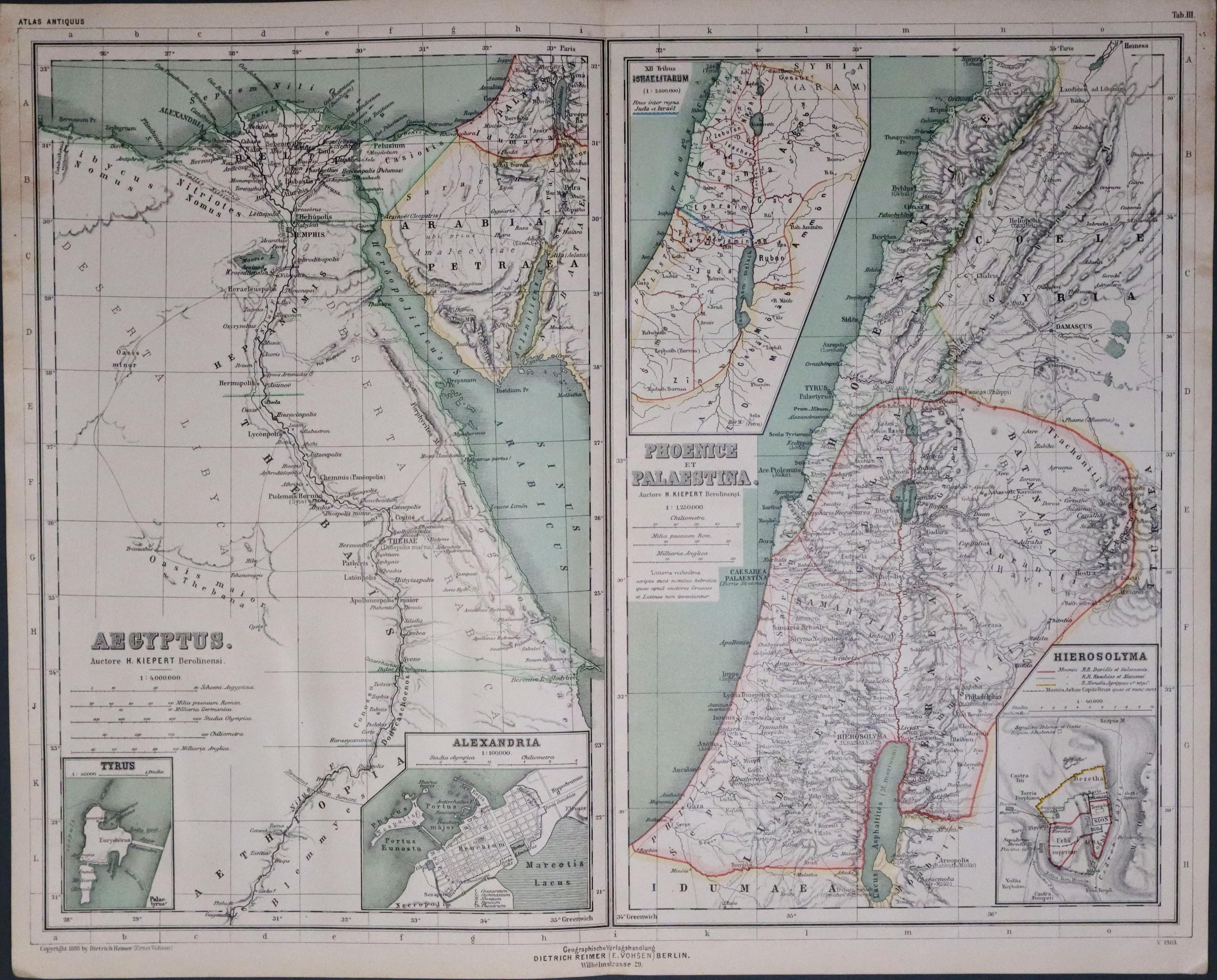
Egypt and Palestine in Ancient Times, Dr. Henry Kiepert c.1902
33443 Egypt and Palestine, Dr. Henry Kiepert, c.1902. Price: 20.00
AEGYPTUS
Two lithograph maps on one sheet showing the regions of Egypt and Palestine. Total of four inset maps. 17 1/4 x 13 1/2 inches. Original centre fold. Good condition.
From: Atlas Antiquus published in Berlin
