Antique Maps of the Atlantic & Indian Oceans
Richard Nicholson of Chester
A World of Antique Maps and Prints
Established in 1961
All the Maps on this page are guaranteed to be genuine early specimens
published in or around the year stated
ATLANTIC
-

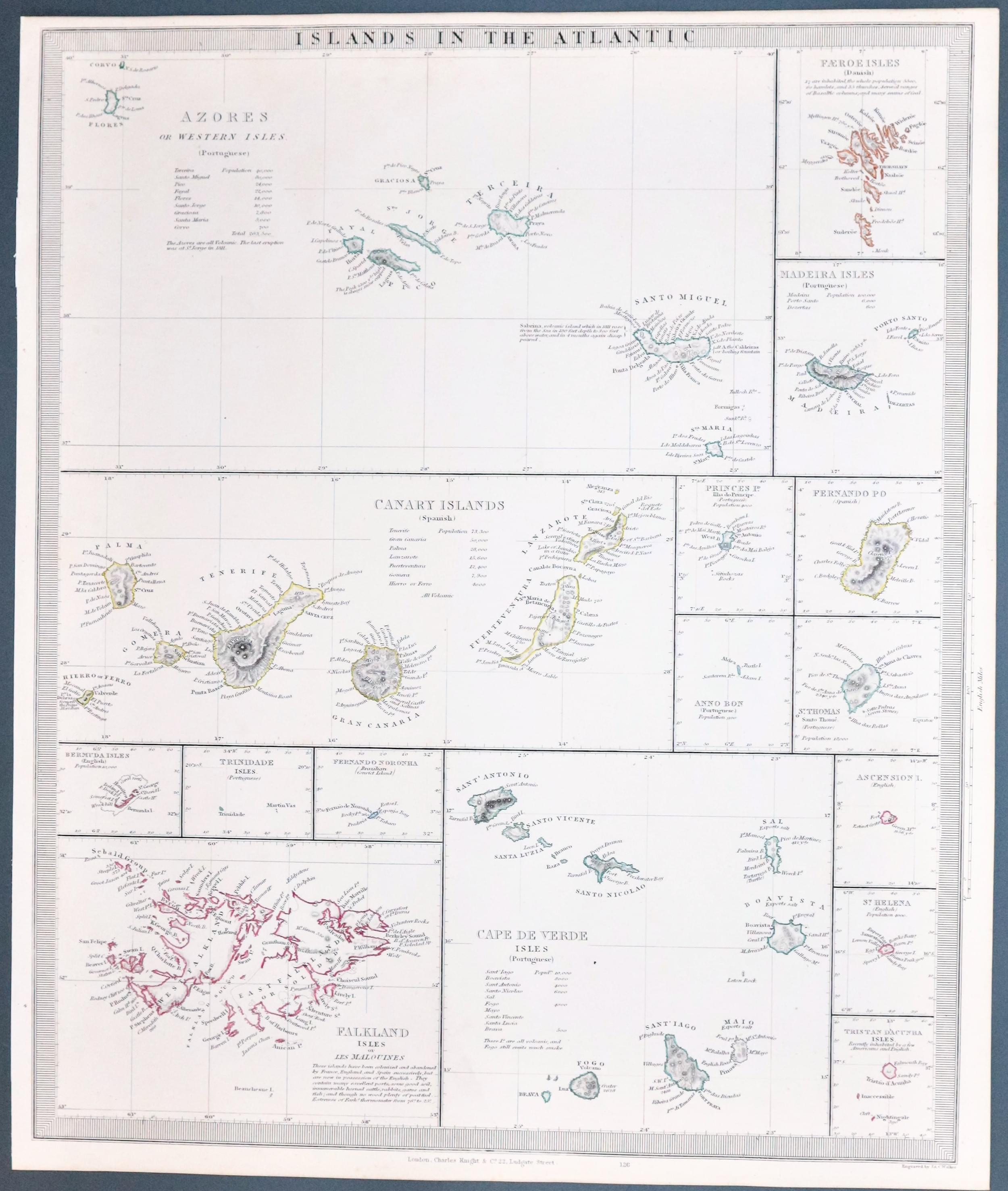
Islands 9n the Atlantic Ocean, SDUK c.1846
22808 Islands in the Atlantic, S.D.U.K. c.1846. Price: 45.00
ISLANDS IN THE ATLANTIC
Sixteen maps on one sheet featuring the islands. The larger maps are those of the Azores, Canary Islands and the Falklands. Smaller maps include Bermuda, Trinidad, St. Helena, Falkland Islands and Maderia. Published by Charles Knight. 12 x 15 inches. Original outline hand colouring. Good condition.
From: Maps of the Society of the Diffusion of Useful Knowledge.
19th Century - Early Hand Colouring
-
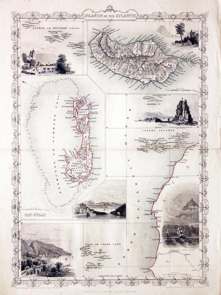
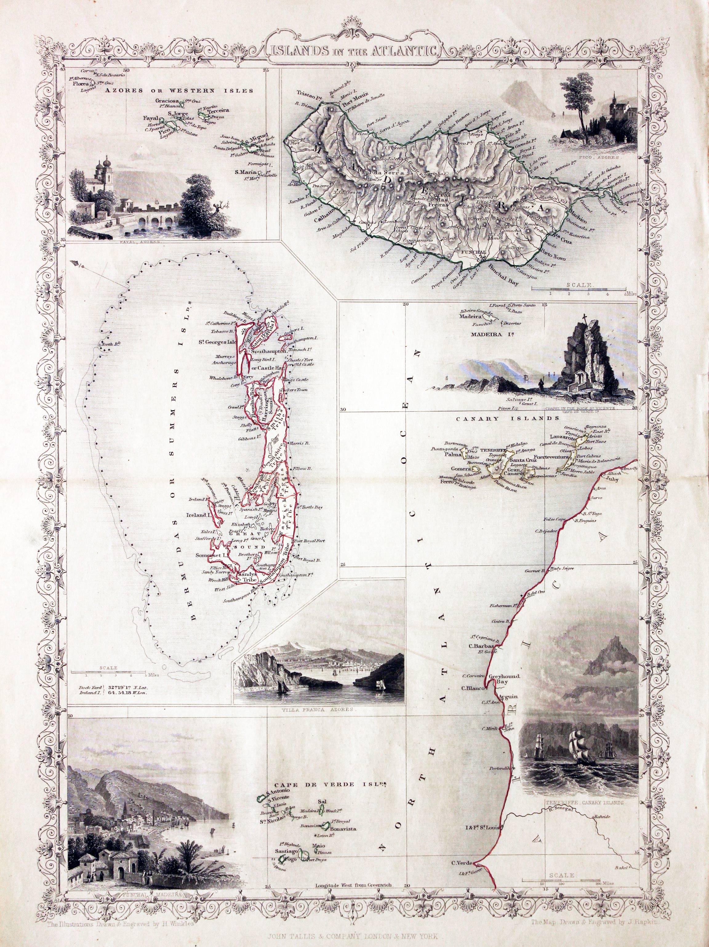
Islands in the Atlantic, John Tallis, c.1850
25822 Islands in the Atlantic, John Tallis, c.1850. Price: 140.00
ISLANDS IN THE ATLANTIC
Engraved maps of Atlantic islands grouped on one sheet within a scroll work border. The islands shown are the Azores, Madeira, Bermuda and a section of the west coast of Africa with Madeira, Canary Islands and the Cape Verde Islands. Embellished with six uncoloured vignette views including Funchal, Tenerife and Pico. 9 3/4 x 13 1/2 inches. Original outline hand colouring to the map area. Centre fold. Good clean condition.
19th Century - Early Hand Colouring
-

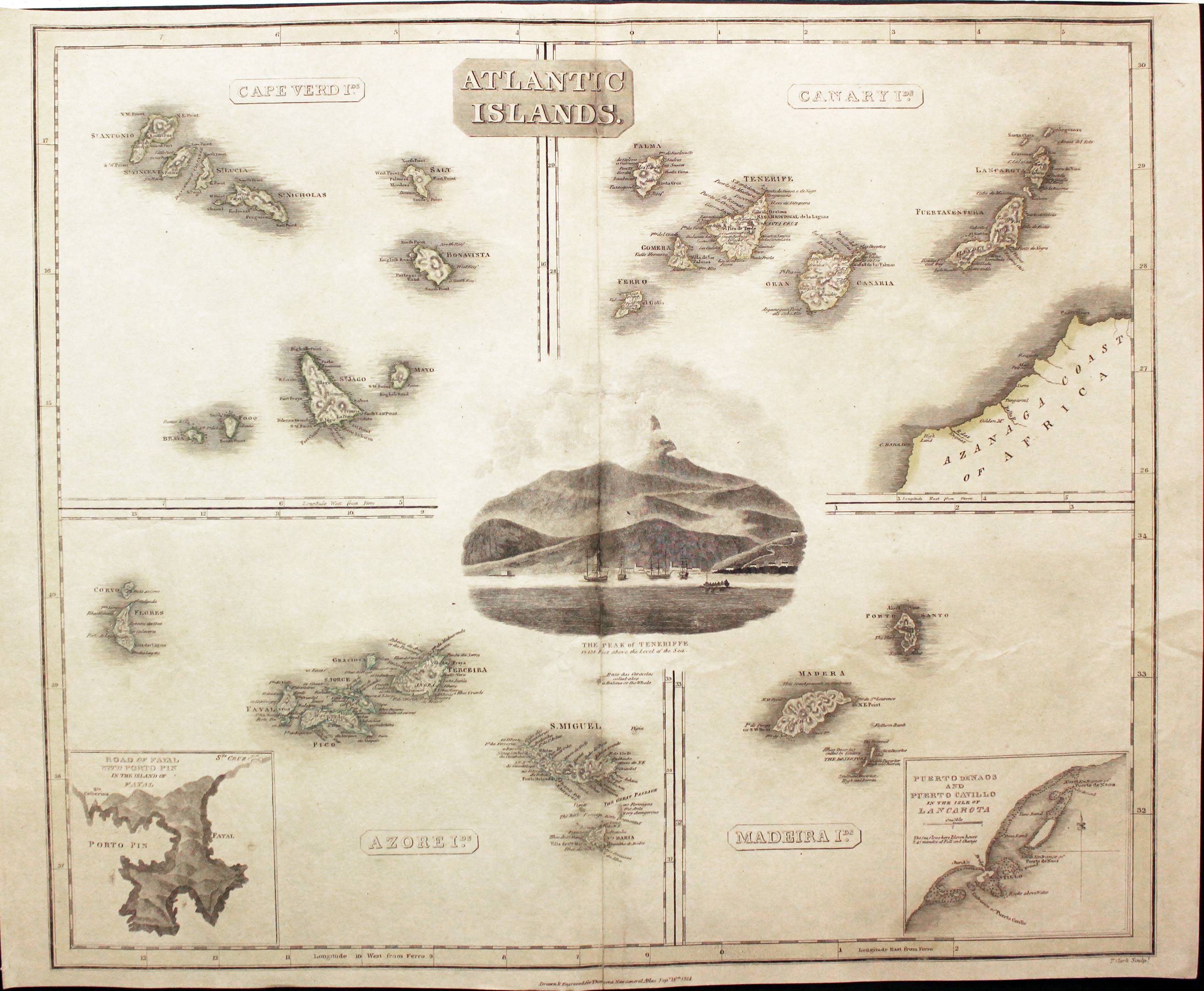
Atlantic Islands, John Thomson, 1816
29679 Atlantic Islands, John Thomson, 1816. Price: 64.00
ATLANTIC ISLANDS. CAPE VERDE IDS. CANARY IDS. AZORE IDS. MADEIRA IDS
Four maps on one sheet of the islands with a central uncoloured vignette view of Teneriffe. Two inset charts of Fayal part of the coast of Lanzarote. 23 x 20 inches. Publishers imprint beneath the map dated 1814. The map has some original outline hand colouring which has faded. There appears to have been a split in the centre fold and a small cross tear in the sky of the vignette view. This has been repaired with a strengthening strip pasted onto the centre fold on verso.
19th Century - Early Hand Colouring
-

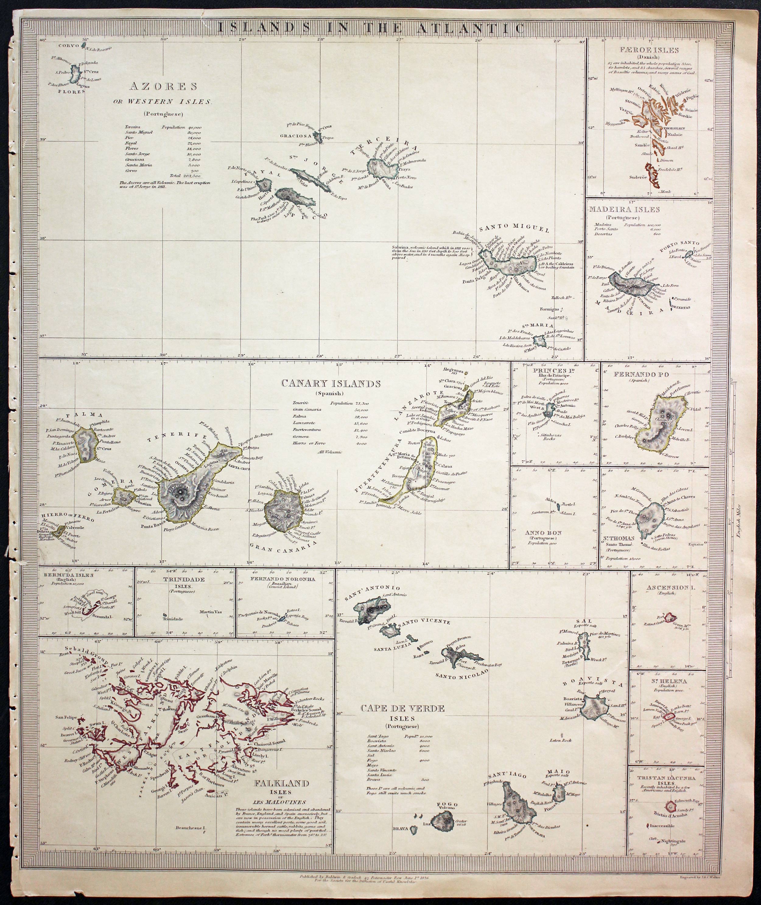
Atlantic Islands, S.D.U.K. 1836
31560 Atlantic Islands, J. & C. Walker / S.D.U.K. 1836. Price: 33.00
ISLANDS IN THE ATLANTIC
Engraved by J. & C. Walker. Sixteen maps on one sheet featuring the islands. The larger maps are those of the Azores, Canary Islands and the Falklands. Smaller maps include Bermuda, Trinidad, St. Helena, Falkland Islands and Maderia. 12 x 15 inches. Original outline hand colouring. Publishers imprint beneath dated 1836. Good condition except for the fact that the left hand blank margin is small and the atlas binding holes are are there. One tiny area of the engraved border surface missing. Small tear in top blank margin just into printed border.
From: Maps of the Society of the Diffusion of Useful Knowledge
CAPE VERDE ISLANDS
19th Century - Early Hand Colouring
-

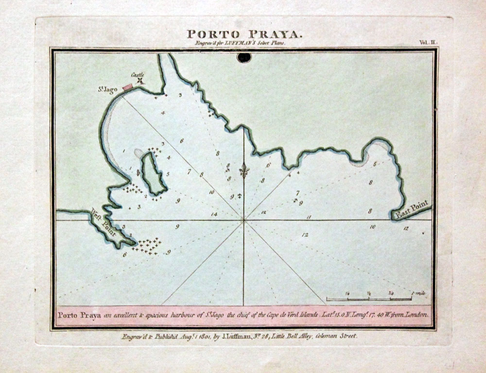
Praia, Santiago, Cape Verde, John Luffman, 1804
16636 Praia, Santiago, Cape Verde, John Luffman, 1804. Price: 40.00
PORTO PRAYA
A small chart engraved for Luffman's Select Plans. Panel advising the reader that Porto Praya is an excellent and spacious harbour of St. Jago the chief of the Cape Verde Islands. 6.25 x 4.5 inches, 155 x 115 mm. Early outline and wash colouring. Fine condition.
The British attempted to colonise the Cape Verde Islands in 1792 and gave up in 1793
18th Century
-

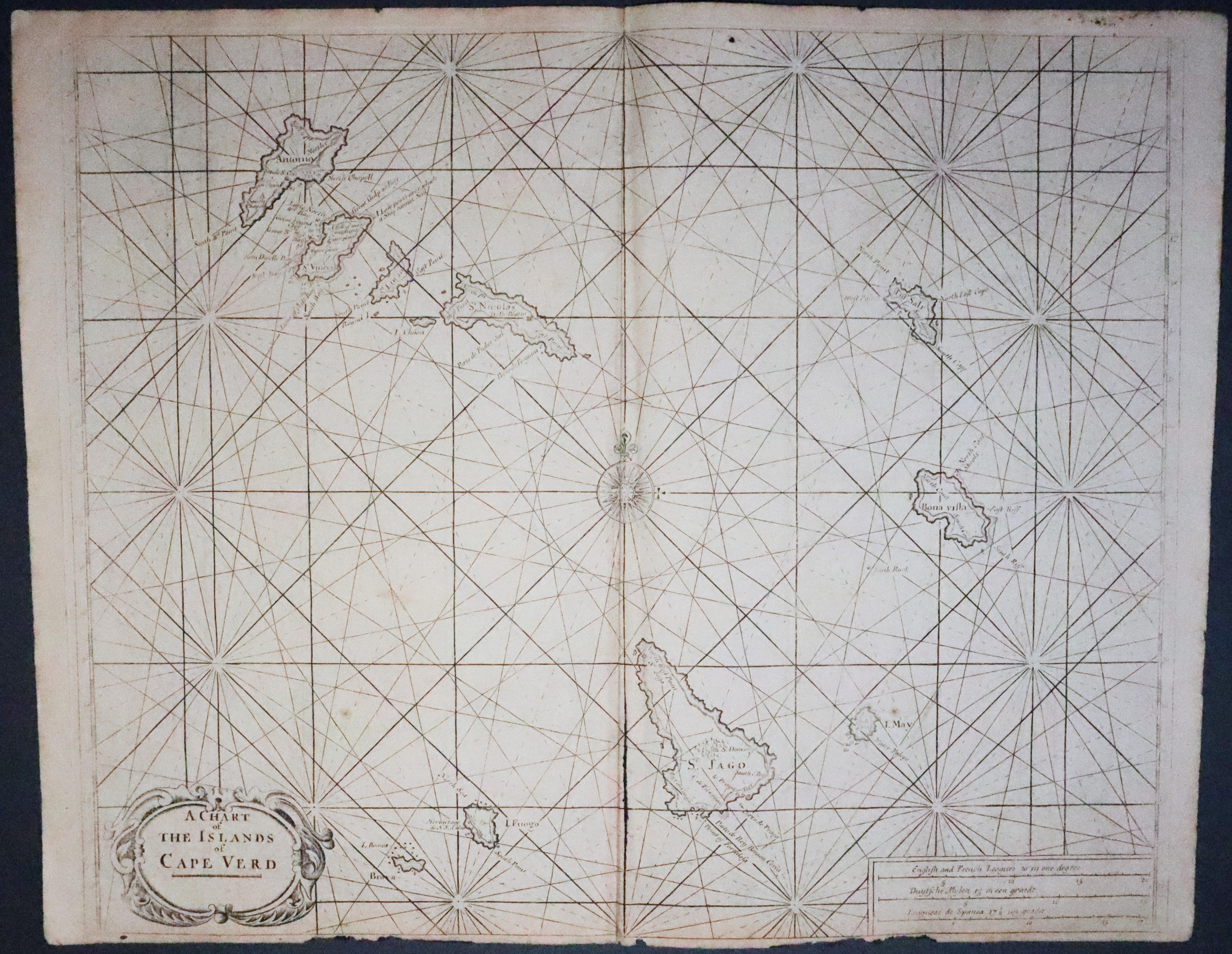
Cape Vere Islands, John Seller c.1780
32278 Cape Verde Islands, John Seller, c.1780. Price: 140.00
A CHART OF THE ISLANDS OF CAPE VERD
This interesting engraved chart of the islands was first published by John Seller circa 1780. Later published by Mount & Page in their English Pilot. Decorative title cartouche and panel with scales. Central compass rose and rhumb lines. 21 1/2 x 17 1/2 inches. Uncoloured. Original centre fold. Small bottom blank margin which needs some restoration. Small hole near the top of the chart.
From: English Pilot
MADEIRA & PORTO SANTO
16th Century
-
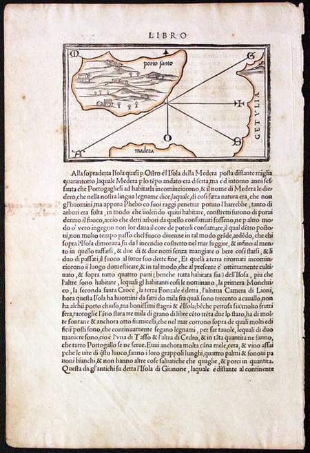
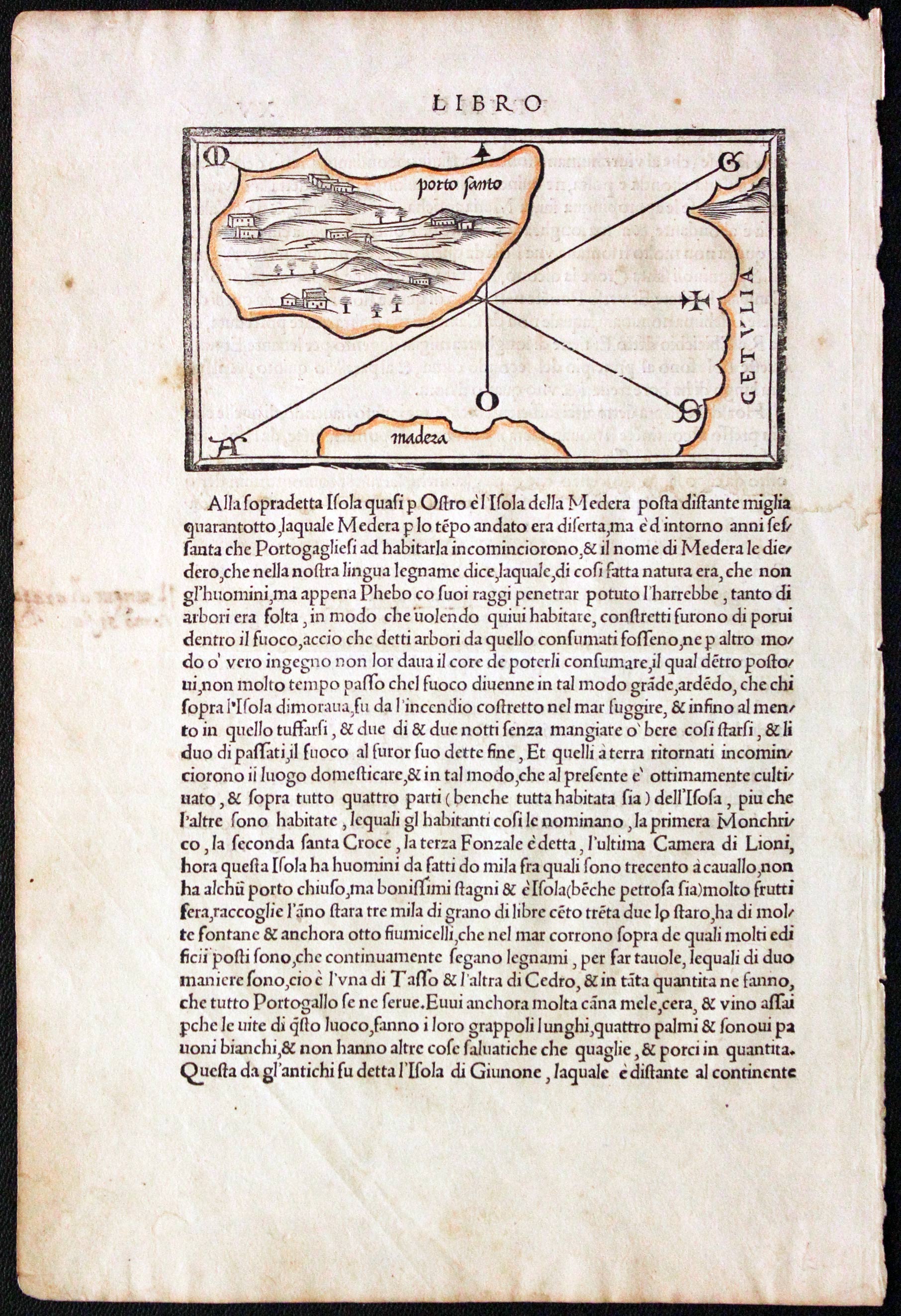
Porto Santo, Benedetto Bordone, c.1534
29757 Porto Santo, Benedetto Bordone, c.1534. Price: 86.00
PORTO SANTO
A woodcut map of the island of Porto Santo with part of the coast of Madeira showing. Set within a page of Latin text which continues on verso. The map measures 5 1/2 x 3 inches. Outline hand colouring. Good condition.
From: Isolario
INDIAN OCEAN
19th Century - Early Hand Colouring
-

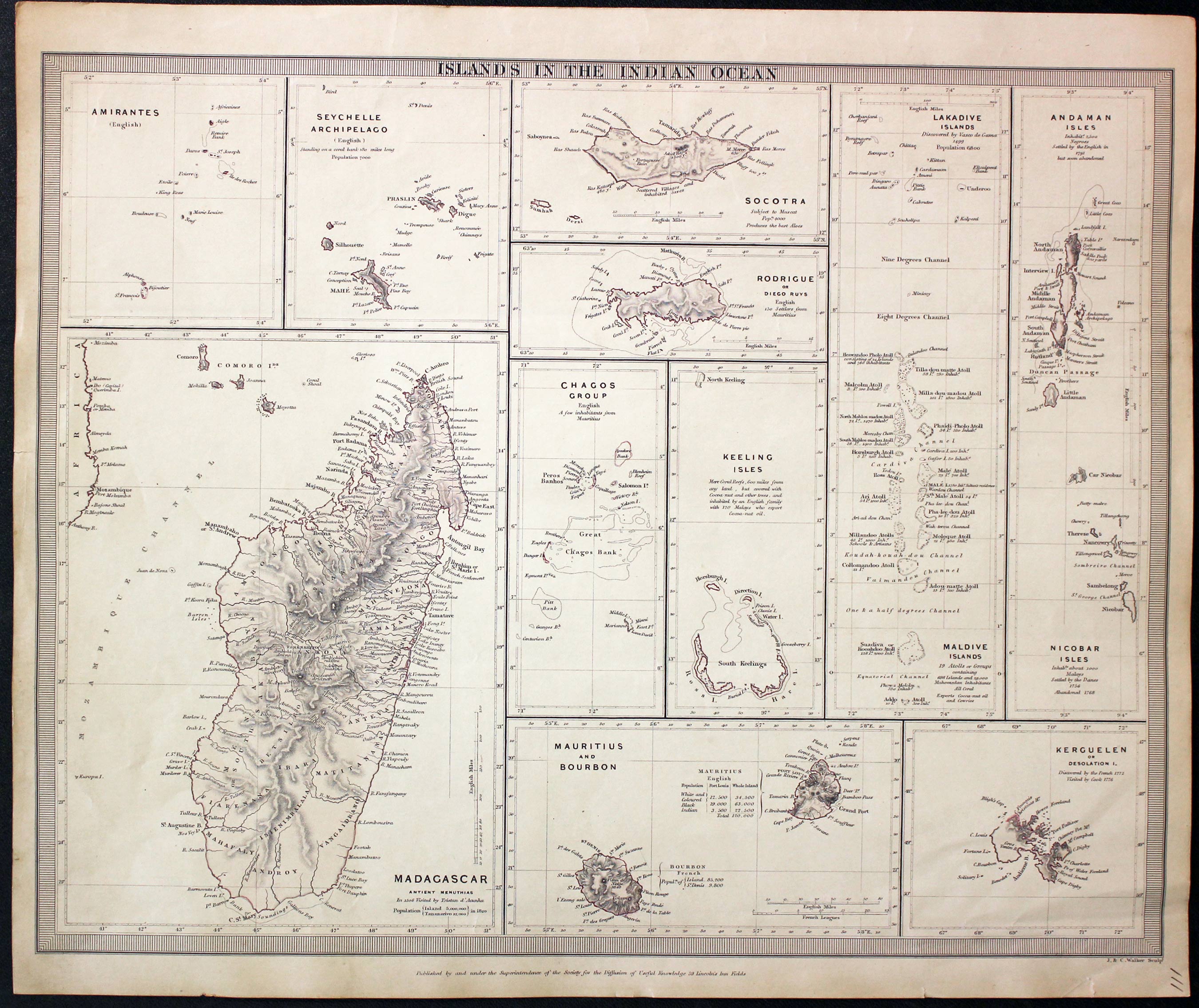
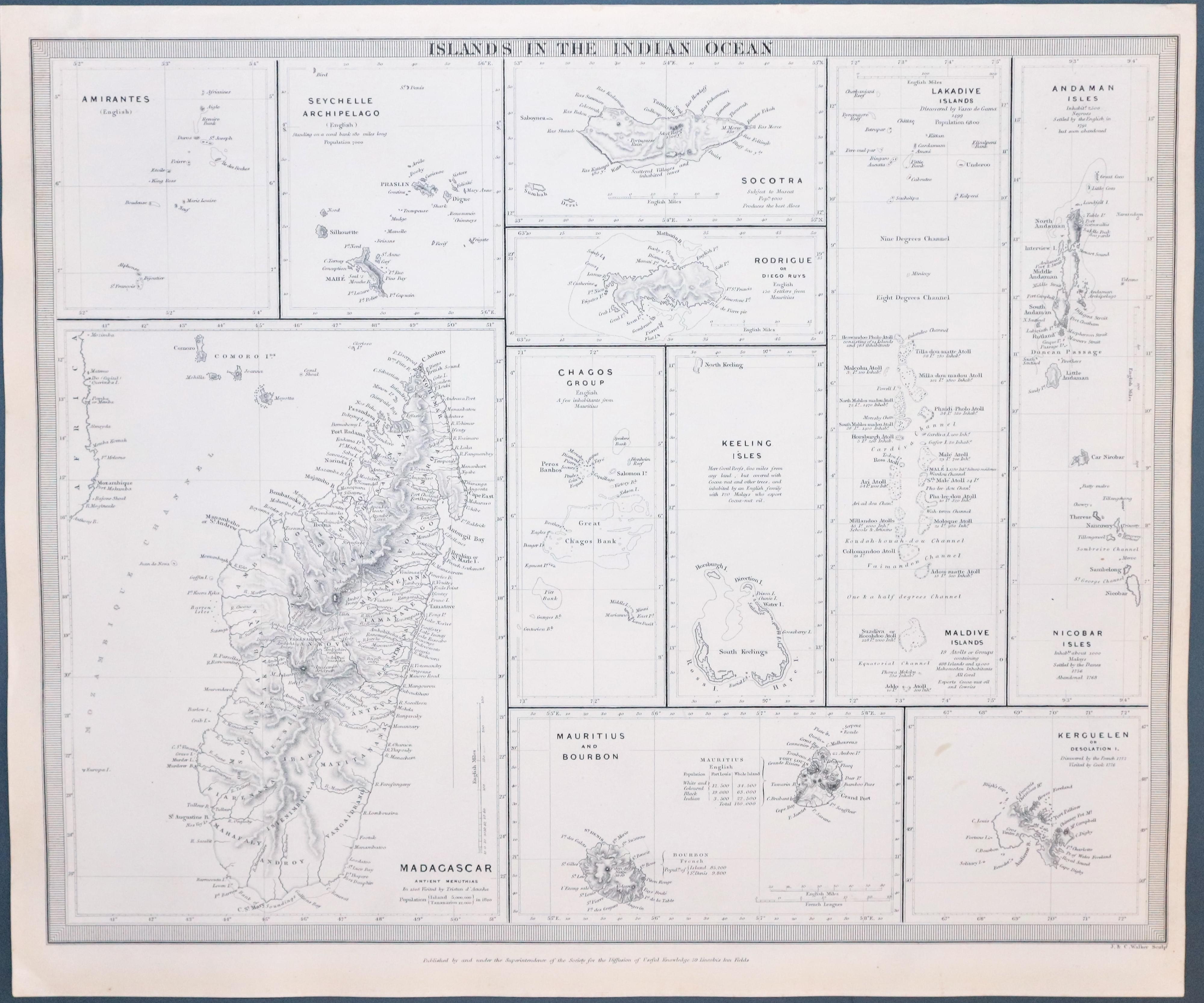
Islands in the Indian Ocean S.D.U.K. 1844
31559 Islands in the Indian Ocean, J & C. Walker / S.D.U.K. c.1844. Price: 50.00
ISLANDS IN THE INDIAN OCEAN
Engraved by J. & C. Walker. Eleven maps on one sheet. Amirantes, Sychelle Archipelago, Madagascar, Socotra, Rodrigue, Chagos Group, Keeling Isles, Mauritius and Bourbon, Kergulen, Maldive Islands, Nicobar Isles. 15.25 x 12.35 inches. Original outline hand coloured. Two small nicks on the outer edge of the bottom blank margin otherwise good condition.
Published by Society for Diffusion of Useful Knowledge
18th Century - Sea Chart
-
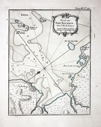
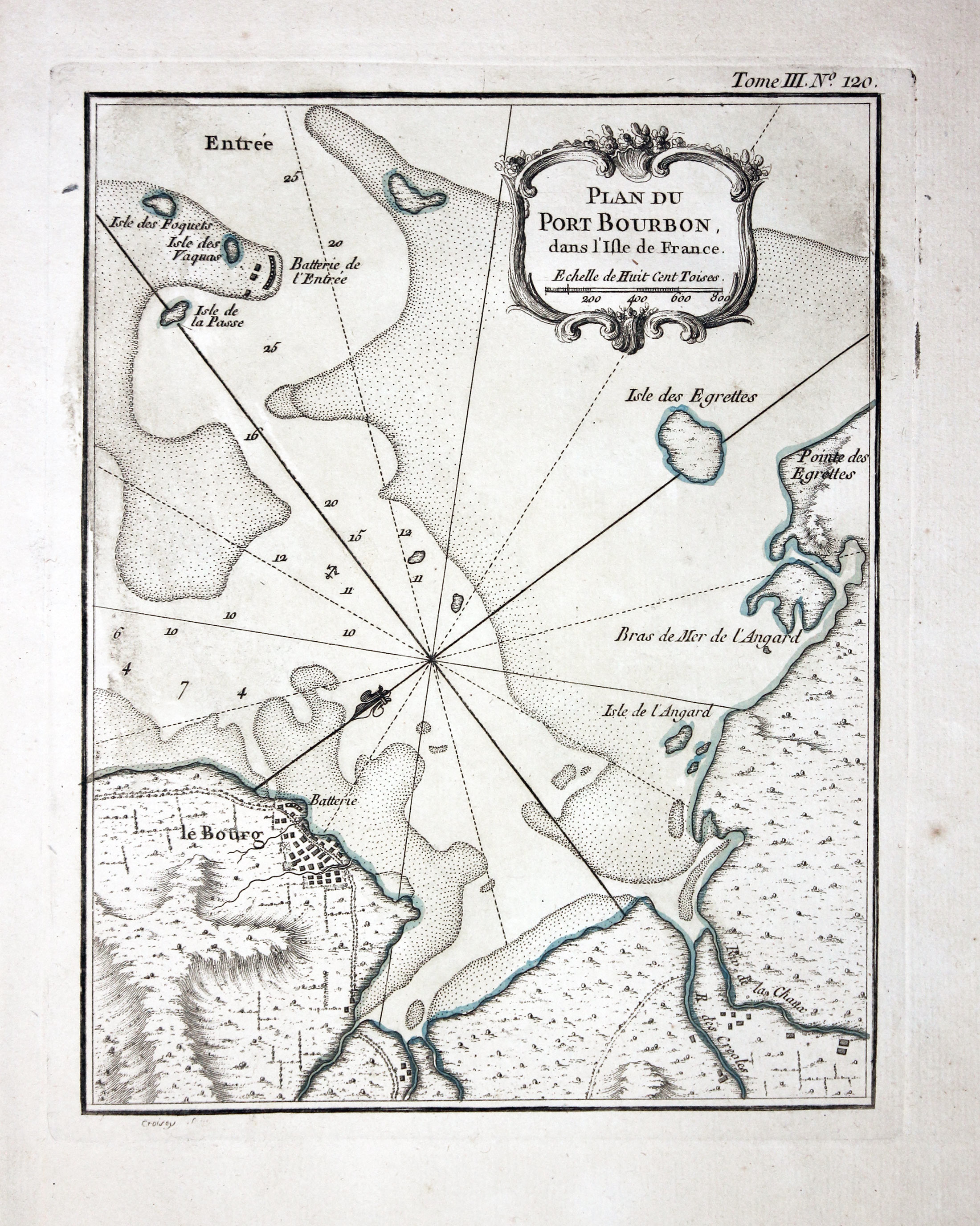
Port Bourbon, Islands of Reunion J. N. Bellin 1764
32181 Port Bourbon, Reunion, Jacques Nicholas Bellin, 1764. Price: 65.00
PLAN DU PORT BOURBON DANS L’ISLE DE FRANCE
An interesting engraved chart of this bay on the island now known as Reunion in the Indian Ocean east of Madagascar. Embellished with an uncoloured rococo title cartouche which also displays the scale. 6 1/2 x 8 1/2 inches. Original blue outline and wash hand colouring. Good condition. Straight from the atlas and not previously sold as a single map.
Map number 120 from Volume 3 of Le Petit Atlas Maritime
19th Century
-

Map of the Islands in the Indian Ocean by SDUK 1844
33399 Islands in the Indian Ocean, S.D.U.K. 1844. Price: 45.00
ISLANDS IN THE INDIAN OCEAN
Engraved by J. & C. Walker. Eleven maps on one sheet. Amirantes, Sychelle Archipelago, Madagascar, Socotra, Rodrigue, Chagos Group, Keeling Isles, Mauritius and Bourbon, Kergulen, Maldive Islands, Nicobar Isles. 15 1/2 x 12 1/4 inches. Uncoloured. Good condition. Straight from ther atlas and not previously sold as a single map.
Published by Society for Diffusion of Useful Knowledge
PACIFIC OCEAN
18th Century
-
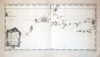
Islands in the Indian Ocean S.D.U.K. 1844
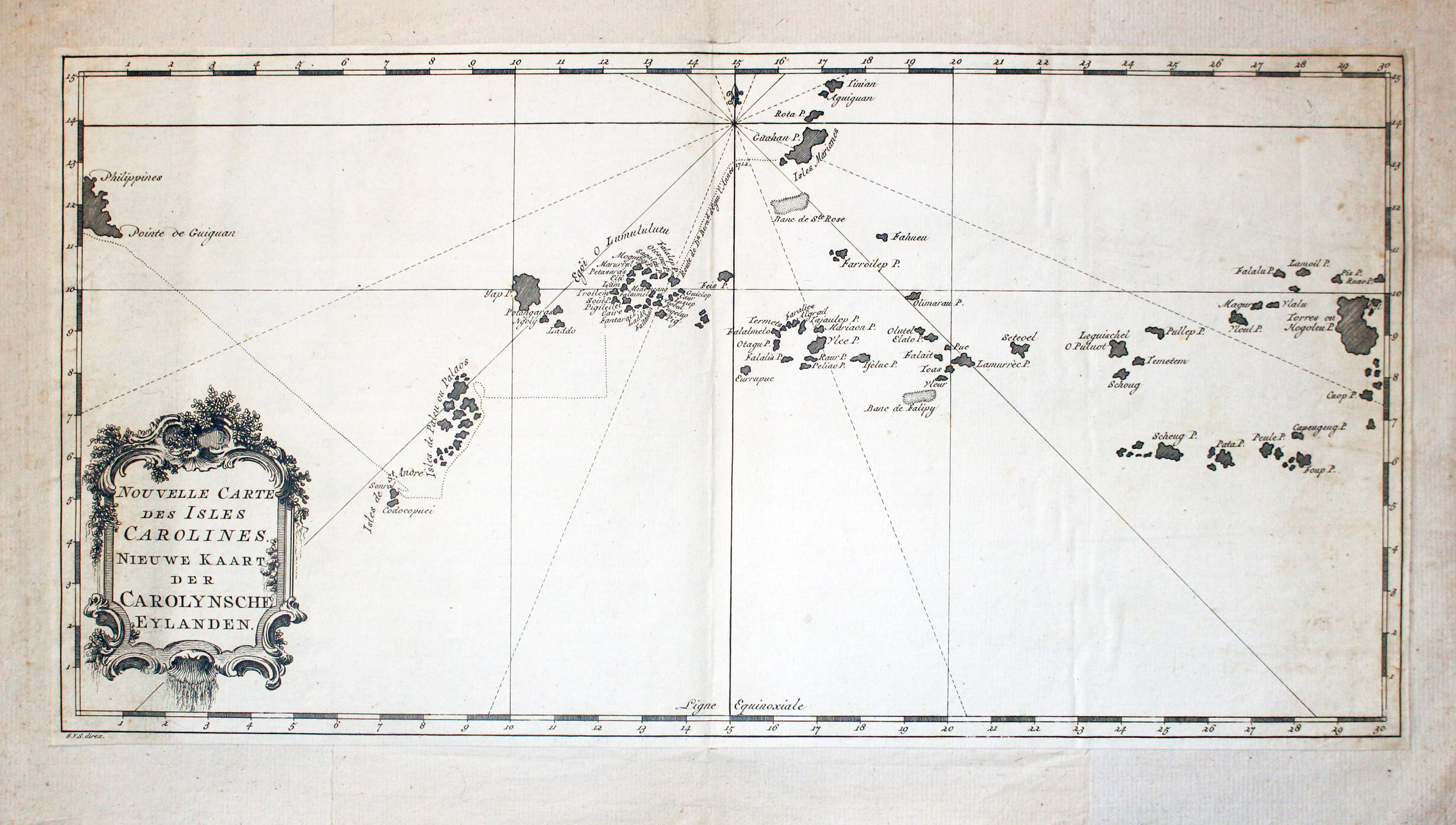
32712 Caroline Islands, Jacques Nicolas Bellin, c.1764. Price: 46.00
NOUVELLE CARTE DES ISLES CAROLINES. NIEU KAART DER CAROLYNSCHE EYLANDEN
An engraved map of the Caroline Islands, a widely scattered archipelago of tiny islands in the western Pacific Ocean. Situated north of New Guinea and east of the Philipines. Decorative rococo title cartouche. The map has been cut close around and mounted on a larger sheet many years ago. Traces of a centre fold. 15 1/4 x 7 3/4 inches. Uncoloured. A little light soiling to the backing but otherwise good condition.
