Antique Maps of Central America
Richard Nicholson of Chester
A World of Antique Maps and Prints
Established in 1961
All the Maps on this page are guaranteed to be genuine early specimens
published in or around the year stated
19th Century - Early Hand Colouring
-

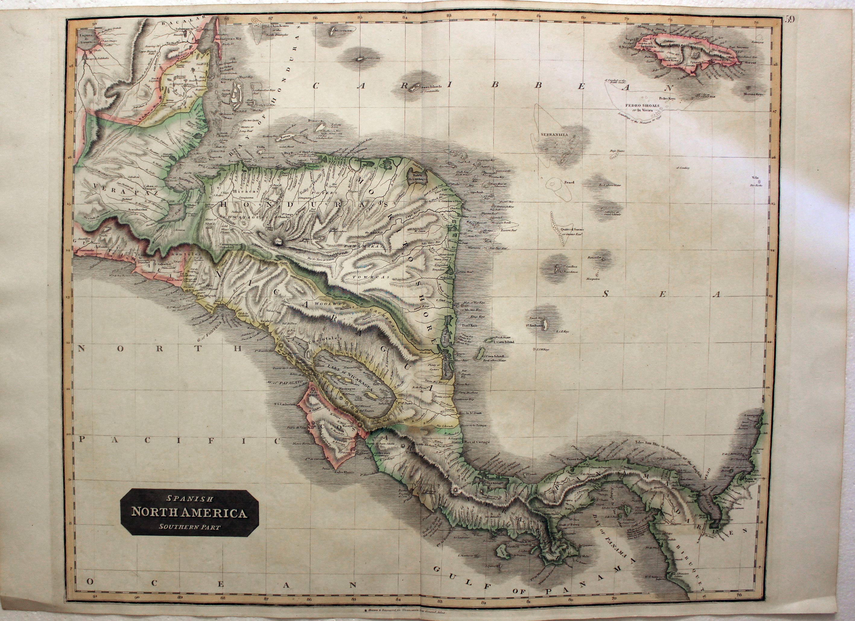
Central America, John Thomson, 1828
29143 Central America, John Thomson, 1828. Price: 120.00
SPANISH NORTH AMERICA SOUTHERN PART
A detailed engraved map of the region including Honduras, Nicaragua, Gulf of Darien, Costa Rica, Panama and extending to Jamaica. 24 x 20 inches, 610 x 510 mm. Original outline hand colouring. Lovely clean crisp condition.
Published by John Thomson and Company in A New General Atlas
19th Century
-

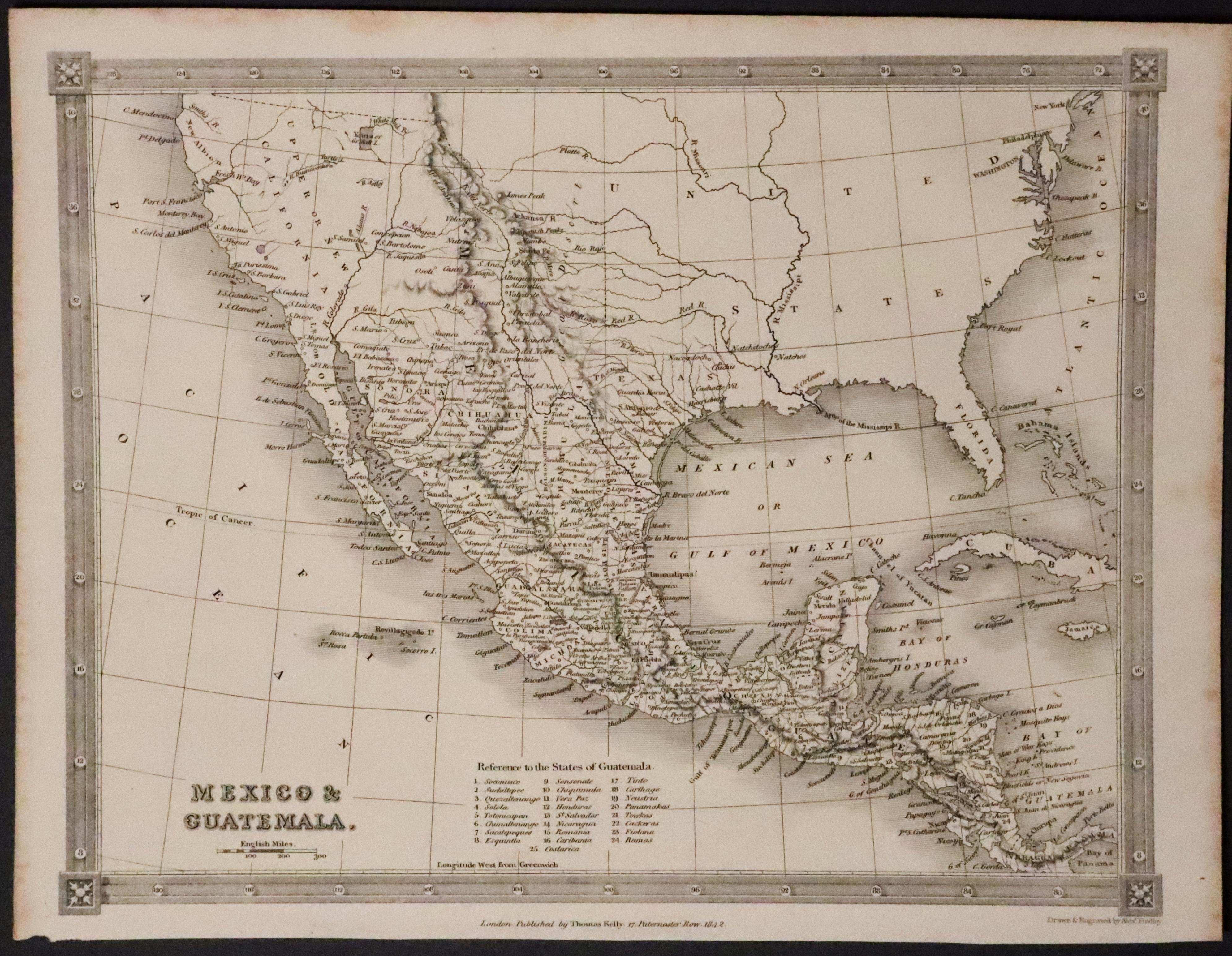
Mexico & Guatemala, Finlay c.1842
32289 California, Mexico & Guatemala, Alexander Findlay c.1842. Price: 45.00
MEXICO & GUATEMALA
An engraved map including California, Texas and Central America. Drawn and engraved by Alexander Findlay. List of the 24 States of Guatemala. Simple decorative border. Imprint of Thomas Kelly at 17 Paternoster Row, London with the date of 1842 beneath. 9 1/2 x 7 1/2 inches. Uncoloured. Good condition.
From: A New and Complete System of Universal Geography


