Antique Maps of the United States of America
Richard Nicholson of Chester
A World of Antique Maps and Prints
Established in 1961
All the Maps on this page are guaranteed to be genuine early specimens
published in or around the year stated
UNITED STATES
19th Century
-

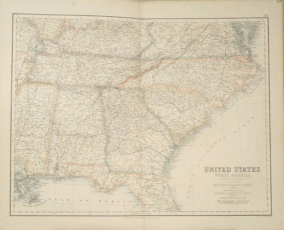
United States, Archibald Fullarton, c.1862
24406 United States, Archibald Fullarton, c.1862. Price: 45.00
UNITED STATES NORTH AMERICA ACCORDING TO CALVIN SMITH & TANNER BY G.H. SWANSTON EDINR. THE SOUTH EASTERN STATES COMPRISING MISSISSIPPI, ALABAMHA, TENNESSEE, GEORGIA, NTH. & STH. CAROLINA AND PART OF FLORIDA, VIRGINIA & KENTUCKY
A detailed coloured lithograph map. 20 x 15 3/4 inches. Small slit at the bottom of the centre fold not reaching map area, otherwise good condition.
From: The Royal Illustrated Atlas published by Archibald Fullarton and Company
19th Century
-

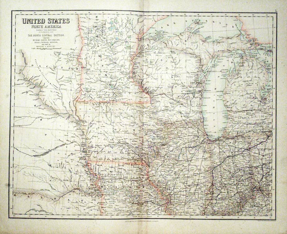
United States, Archibald Fullarton, c.1862
24407 United States, Archibald Fullarton, c.1862. Price: 45.00
UNITED STATES NORTH AMERICA ACCORDING TO CALVIN, SMITH & TANNER BY G. H. SWANSTON EDINR. THE NORTH CENTRAL SECTION. COMPRISING MICHIGAN, ILLINOIS, WISCONSIN, IOWA, INDIANA, NEBRASKA, MINNISOTA AND PART OF MISSOURI & KENTUCKY
A detailed colour lithograph map. 20 1/2 x 15 3/4 inches. Good condition.
From: The Royal Illustrated Atlas published by Archibald Fullarton and Company
19th Century
-

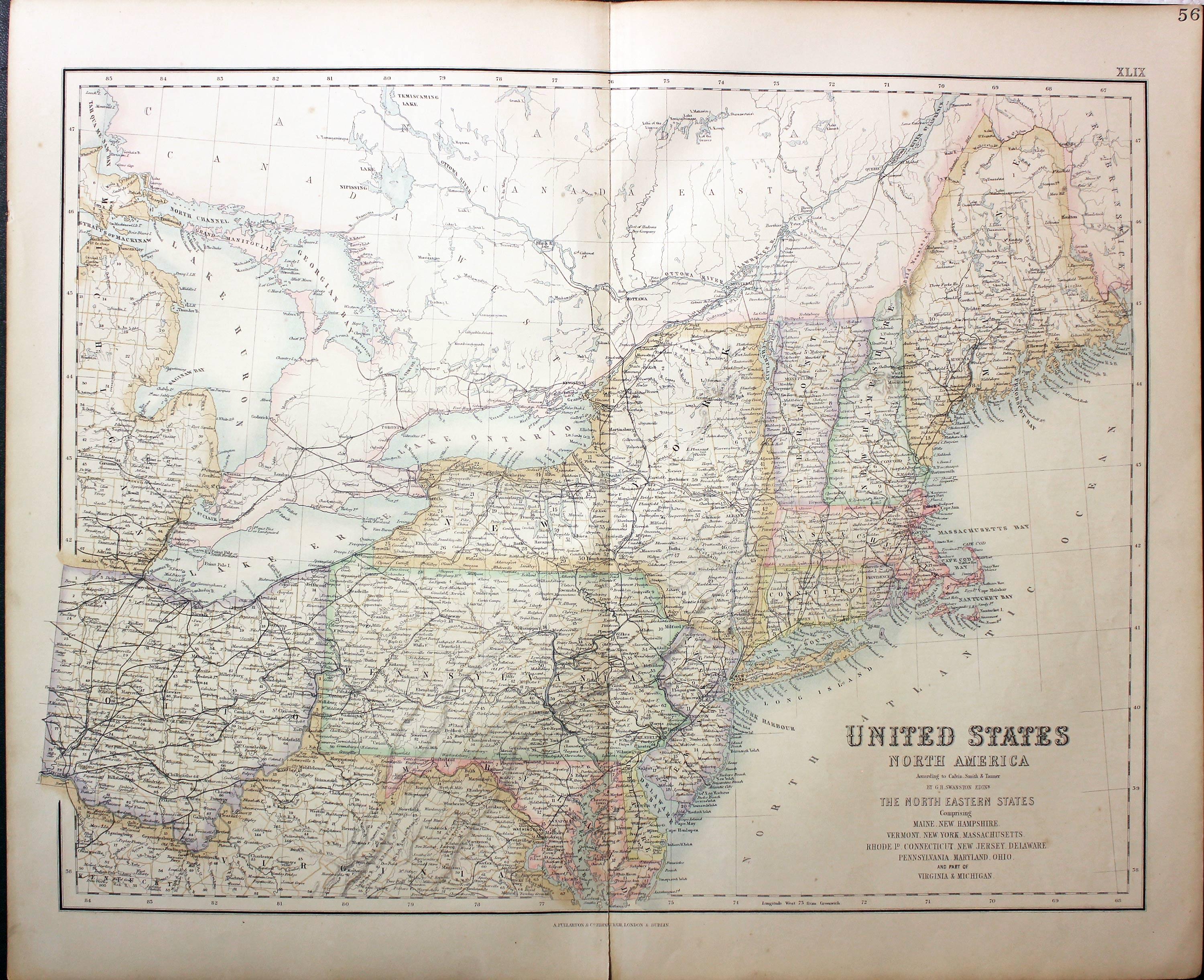
United States, Archibald Fullarton, c.1862
24408 United States, Archibald Fullarton, c.1862. Price: 45.00
UNITED STATES NORTH AMERICA ACCORDING TO CALVIN, SMITH & TANNER BY G. H. SWANSTON EDINR. THE NORTH EASTERN STATES COMPRISING MAINE, NEW HAMPSHIRE, VERMONT, NEW YORK, MASSACHUSETTS, RHODE ID. CONNECTICUT, NEW JERSEY, DELAWARE, PENNSYLVANIA, MARYLAND, OHIO AND PART OF VIRGINIA & MICHIGAN
A coloured lithograph map. 20 1/2 x 15 3/4 inches. Small slit at the bottom of the centre fold otherwise good condition.
From: The Royal Illustrated Atlas published by Archibald Fullarton and Company
19th Century - Early Hand Colouring
-

United States, George Frederick Cruchley, 1854
25882 United States, George Frederick Cruchley, 1854. Price: 73.00
UNITED STATES WITH UPPER & LOWER CANADA
A clearly engraved map bearing the imprint March 1st 1842. Addition to 1854. Uncoloured Royal plumes. 13 3/4 x 17 1/4 inches. Original outline and wash hand colouring. Good condition.
From Cruchley’s General Atlas for the use of Schools and Private Tuition
19th Century - Early Hand Colouring
-

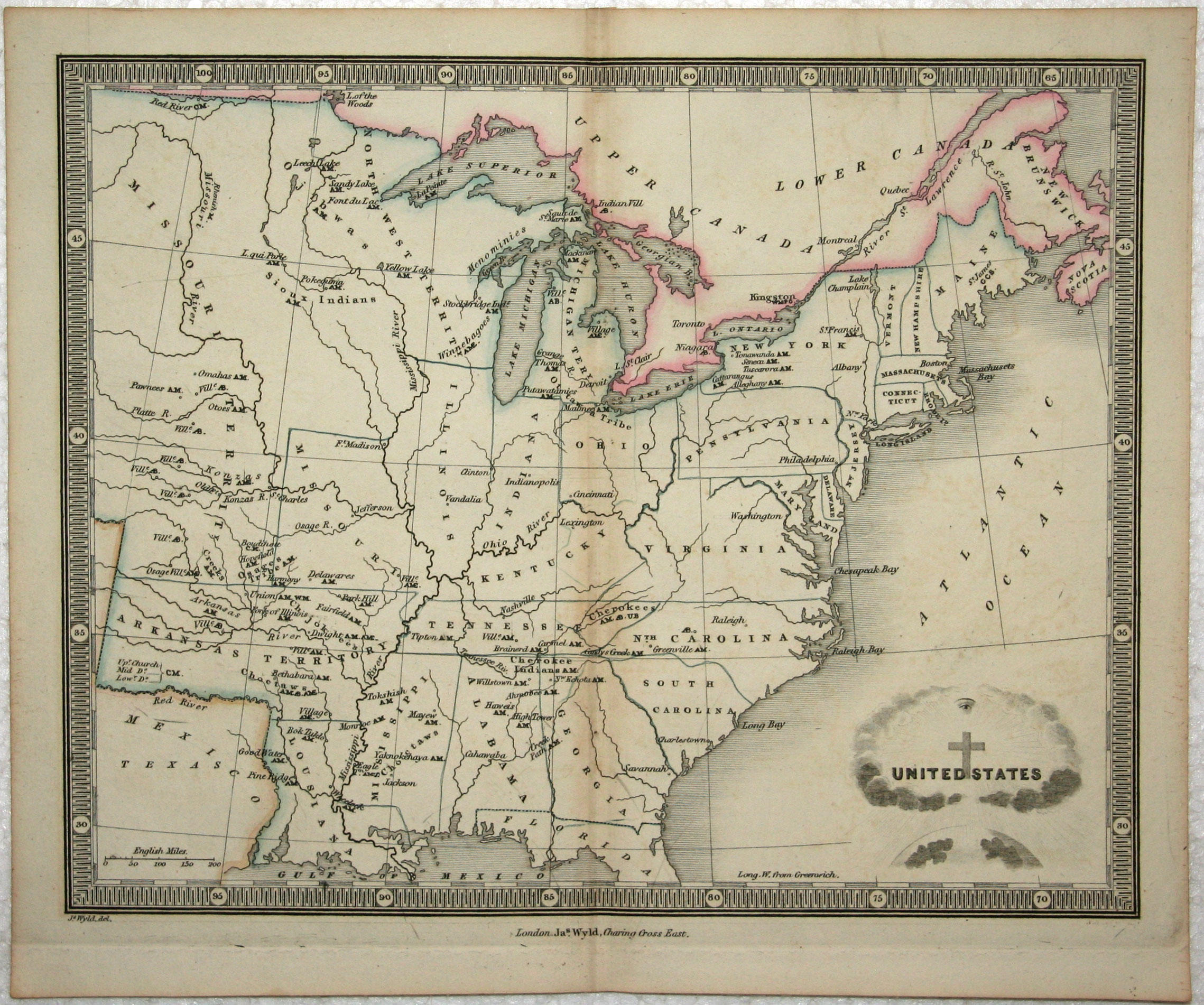
United States, James Wyld, 1839
28007 United States, James Wyld, 1839. Price: 57.00
UNITED STATES
An engraved map embellished with a pictorial symbolic title cartouche. 9 x 7 1/4 inches. Original outline hand colouring. Good clean condition.
From An Atlas of Maps of Different Parts of the World; designed to show the stations of the Protestant Missionaries By James Wyld, Geographer to the Queen. London: James Wyld, Charing Cross East. MDCCCXXXIX
Detailed Old Map of the United States
-

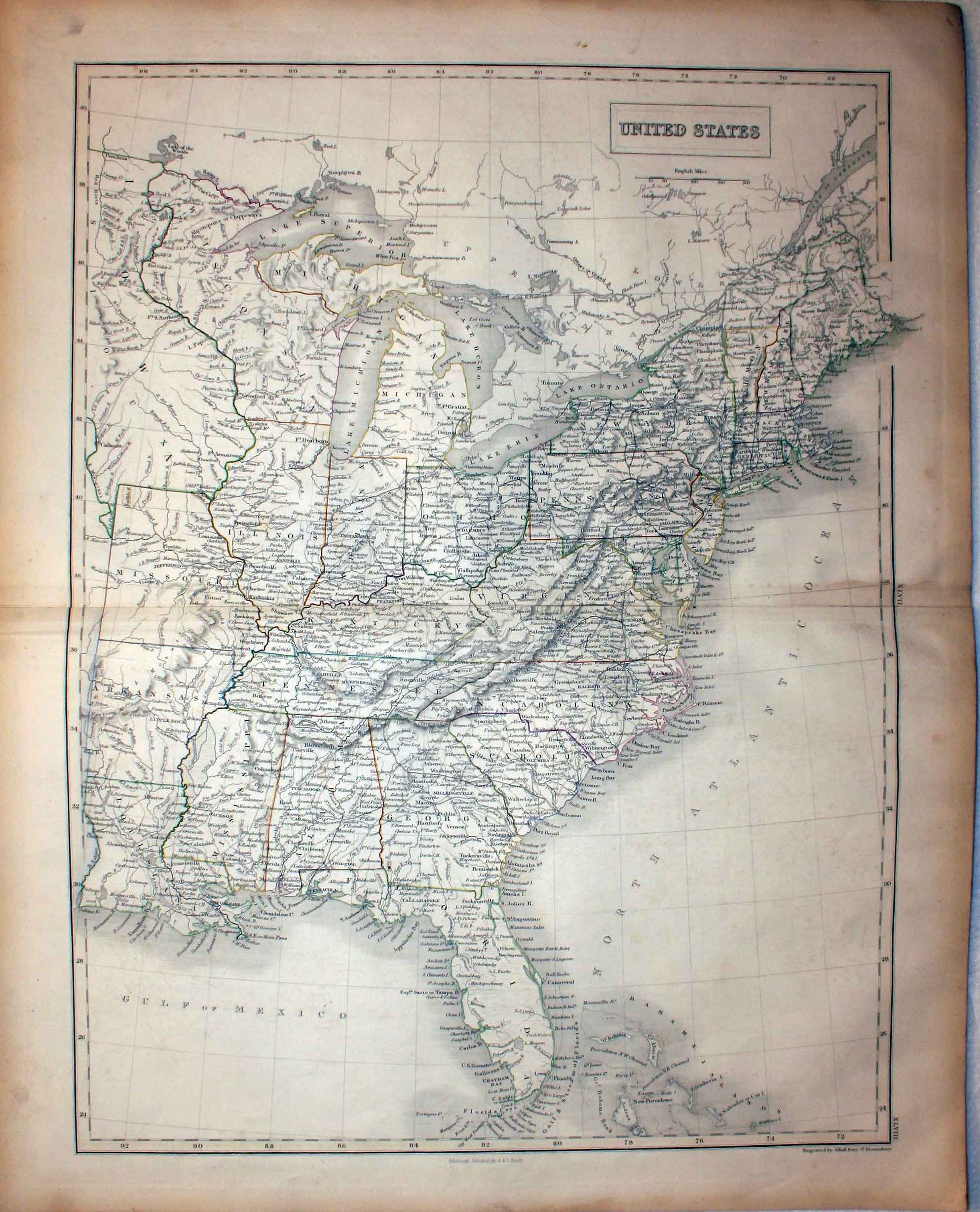
United States, Sidney Hall, 1847
29033 United States, Sidney Hall, 1847. Price: 45.00
UNIITED STATES
A map engraved by Sydney Hall. Title panel. 14 1/2 x 19 1/4 inches. Original outline hand colouring.
From Black’s General Atlas
Detailed Original Old Map of the United States
-

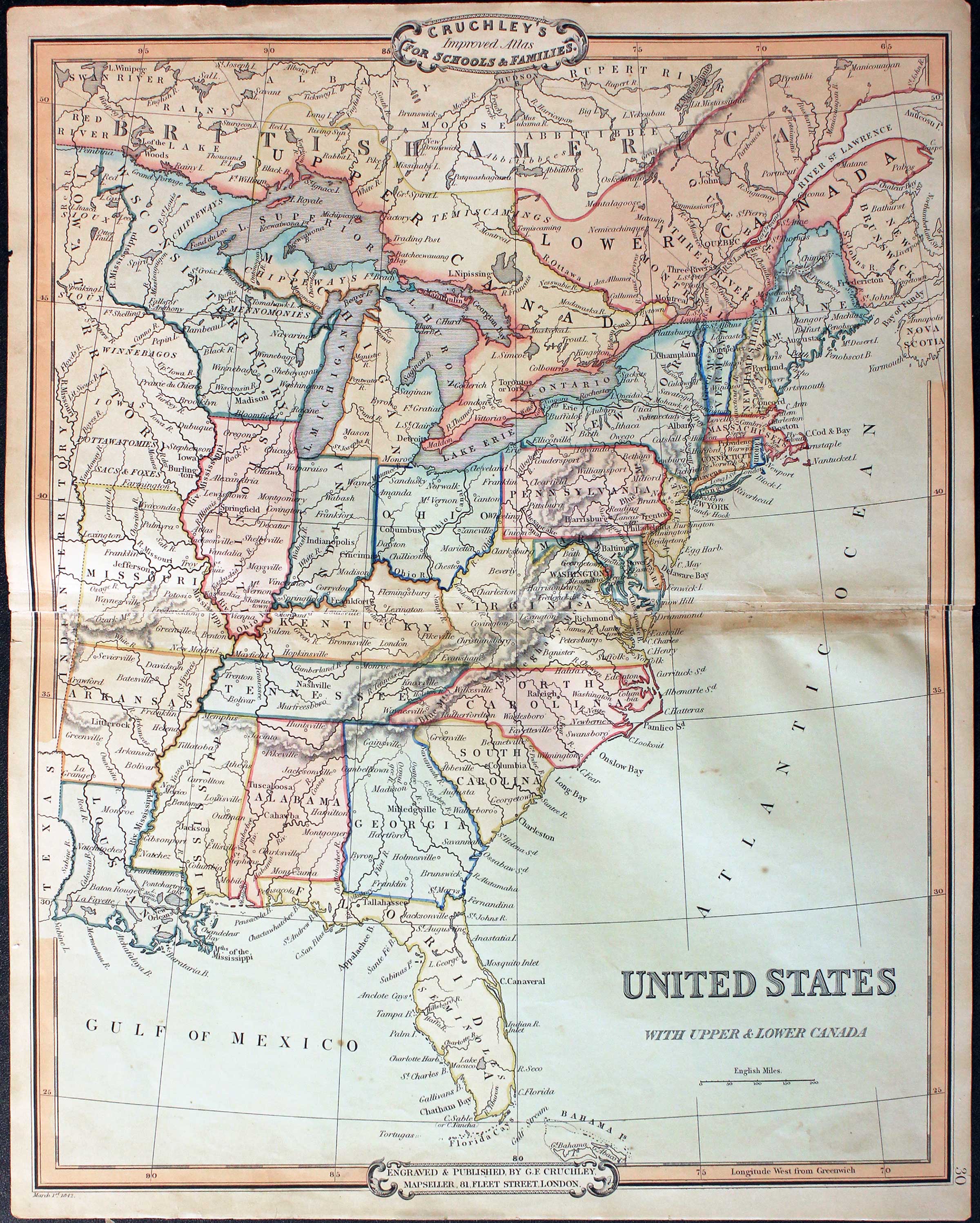
United States George Edward Cruchley 1854
31649 United States, George Edward Cruchley, 1854. Price: 36.00
UNITED STATES WITH UPPER & LOWER CANADA
A clearly engraved map. Publishers rococo cartouche inscribed Cruchley’s Improved Atlas, for Schools & Families. 13 3/4 x 17 1/2 inches. Original outline and wash hand colouring. Long split in the centre fold repaired with a sliver of blank sea area missing. Couple of small nicks in the blank margins otherwise good. Special price.
From: Cruchley’s General Atlas for the use of Schools and Private Tuition
19th Century
-

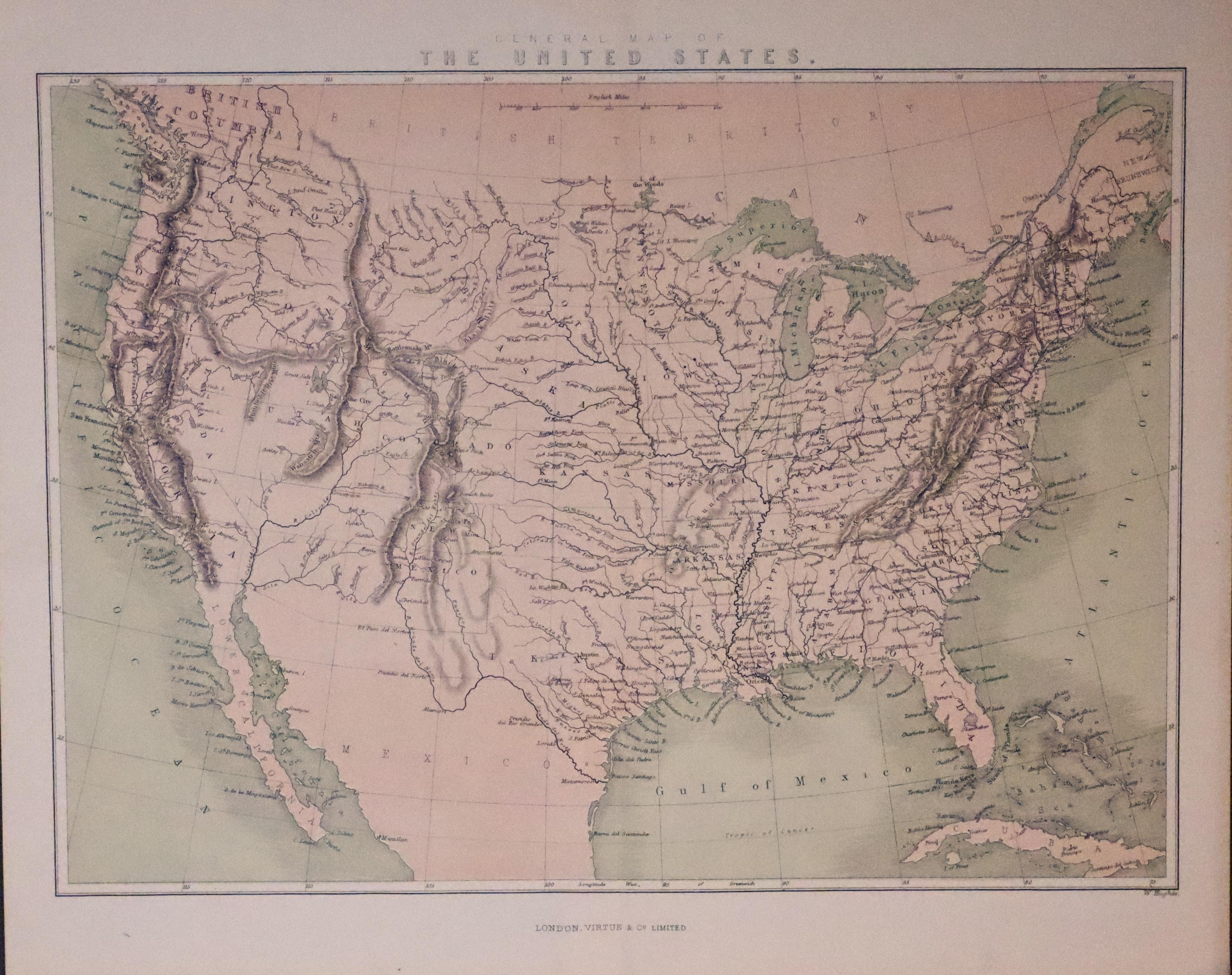
United States, William Huges c.1865
33254 United States, William Hughes, c.1865. Price: 18.00
GENERAL MAP OF THE UNITED STATES
A coloured lithograph map published in London by Virtue & Co. 12 x 8 3/4 inches. Original centre fold. Good clean undamaged condition.
LOUISIANA
Detailed Old Map of Louisiana
-

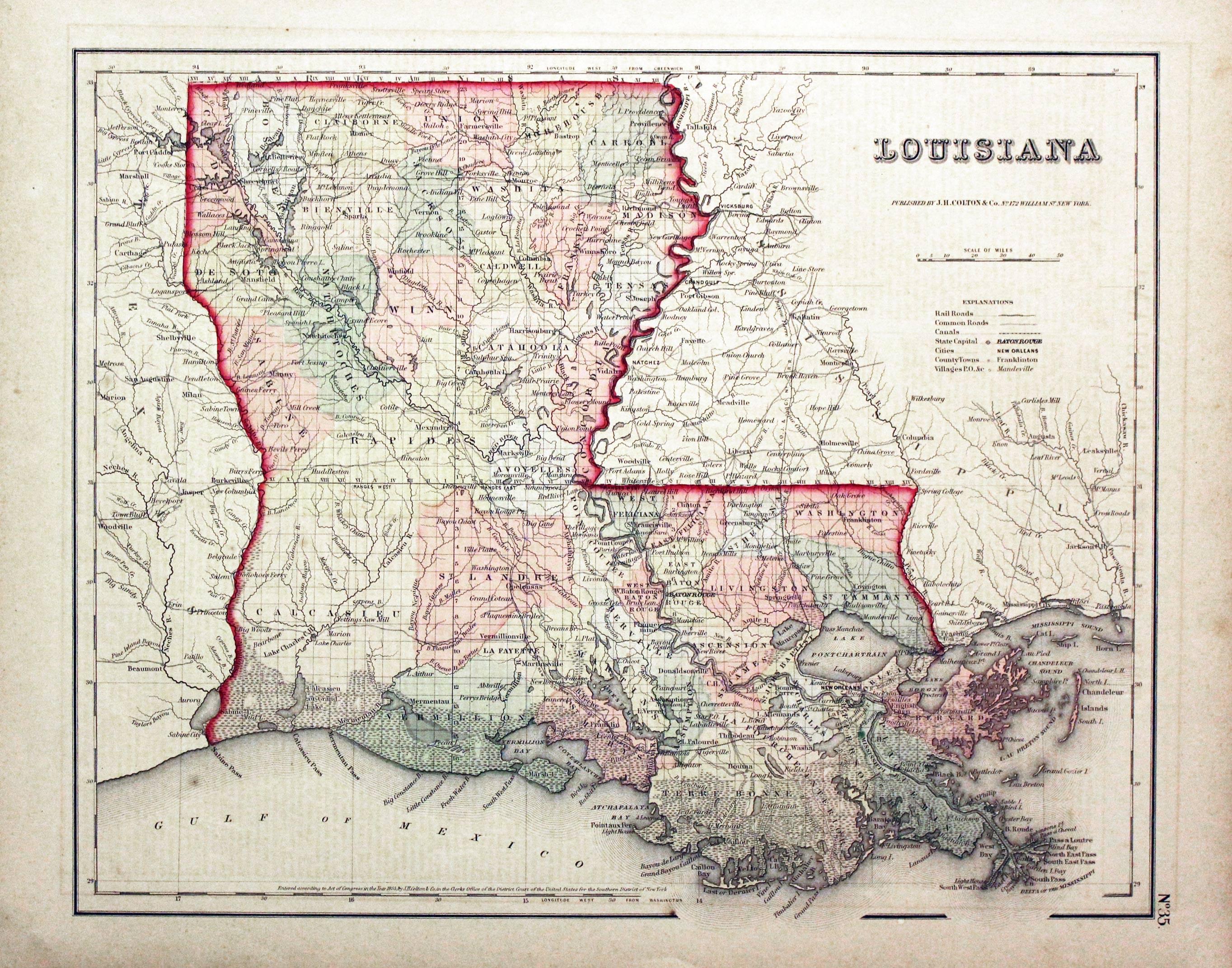
Louisina, Joseph Hutchins Colton, 1857
21781 Louisina, Joseph Hutchins Colton, 1857. Price: 60.00
LOUISIANA
A detailed map of the state. 14 1/2 X 11 3/4 inches. Original wash colouring. Good condition.
From: Colton's General Atlas
MAINE
Detailed Old Map of the State of Maine
-

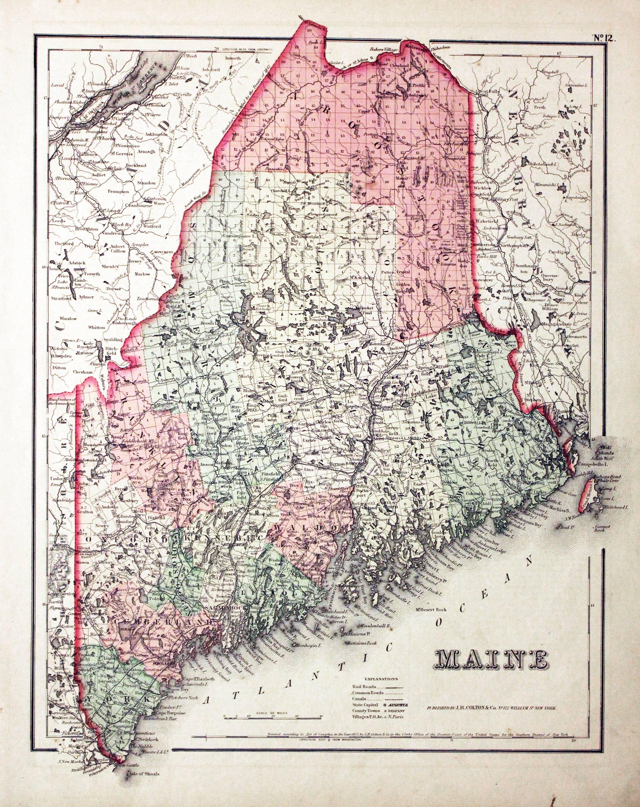
Maine, Joseph Hutchins Colton, 1857
20752 Maine, Joseph Hutchins Colton, 1857. Price: 50.00
MAINE
A detailed map of the ate with original outline and wash colouring. 11.75 x 14.5 inches, 300 x 370 mm. Good condition.
From: Colton's General Atlas
MARYLAND
Detailed Old Plan of Baltimore
-

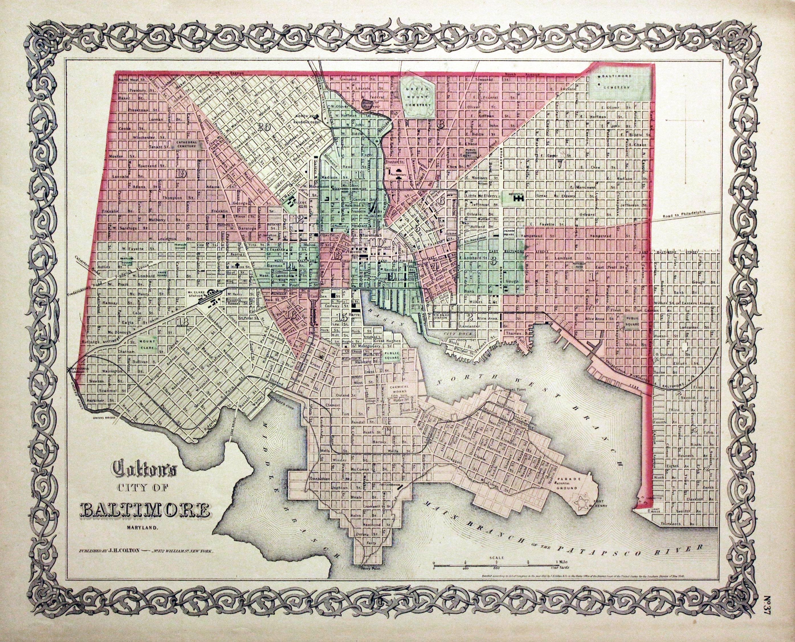
Baltimore, Joseph Hutchins Colton, 1864
19994 Baltimore, Joseph Hutchins Colton, 1864. Price: 50.00
COLTON'S CITY OF BALTIMORE MARYLAND
A detailed town plan set within a decorative uncoloured scrollwork border. Plan measures 14 x 11 inches. Original wash colouring. Good condition.
From: Colton's General Atlas
MISSISSIPPI
Detailed Old Map of Mississippi
-
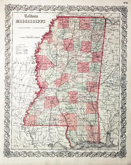
Mississippi, Joseph Hutchins, 1864
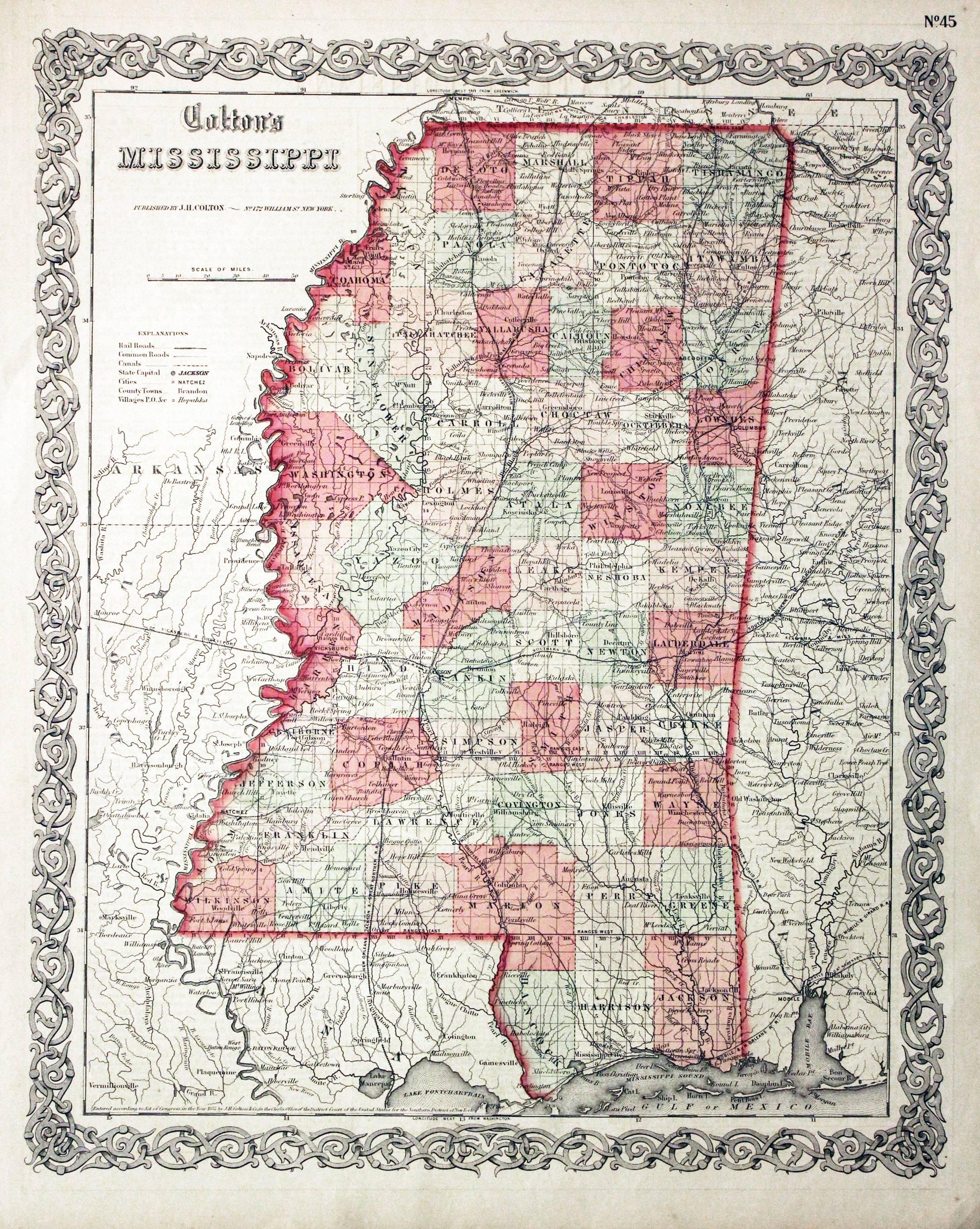
20202 Mississippi, Joseph Hutchins Colton, 1857. Price: 50.00
COLTON'S MISSISSIPPI
A detailed map of the state. An uncoloured decorative scrollwork border surrounds the map. 11 3/4 x 14 1/2 inches. Original wash colouring. Good condition.
From: Colton's General Atlas
19th Century - Early Hand Colouring
-

Mississippi, Joseph Hutchins, 1864
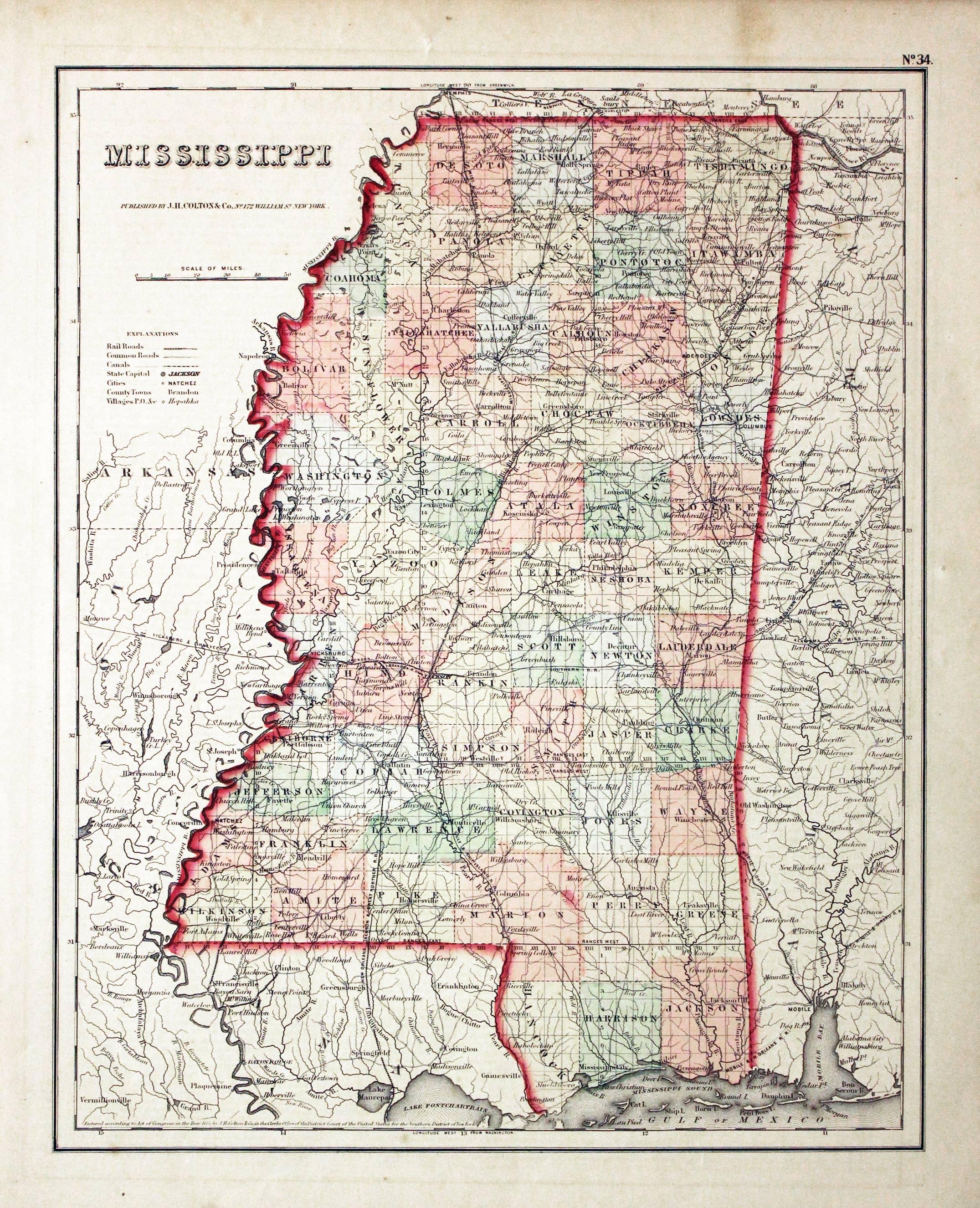
21780 Mississippi, Joseph Hutchins Colton, 1864. Price: 45.00
MISSISSIPPI
A detailed map of the state. 11 3/4 x 14 1/2 inches. Original wash colouring. Good condition.
From: Colton's General Atlas
PENNSYLVANIA
Detailed Old Town Plan of Philadelphia
-

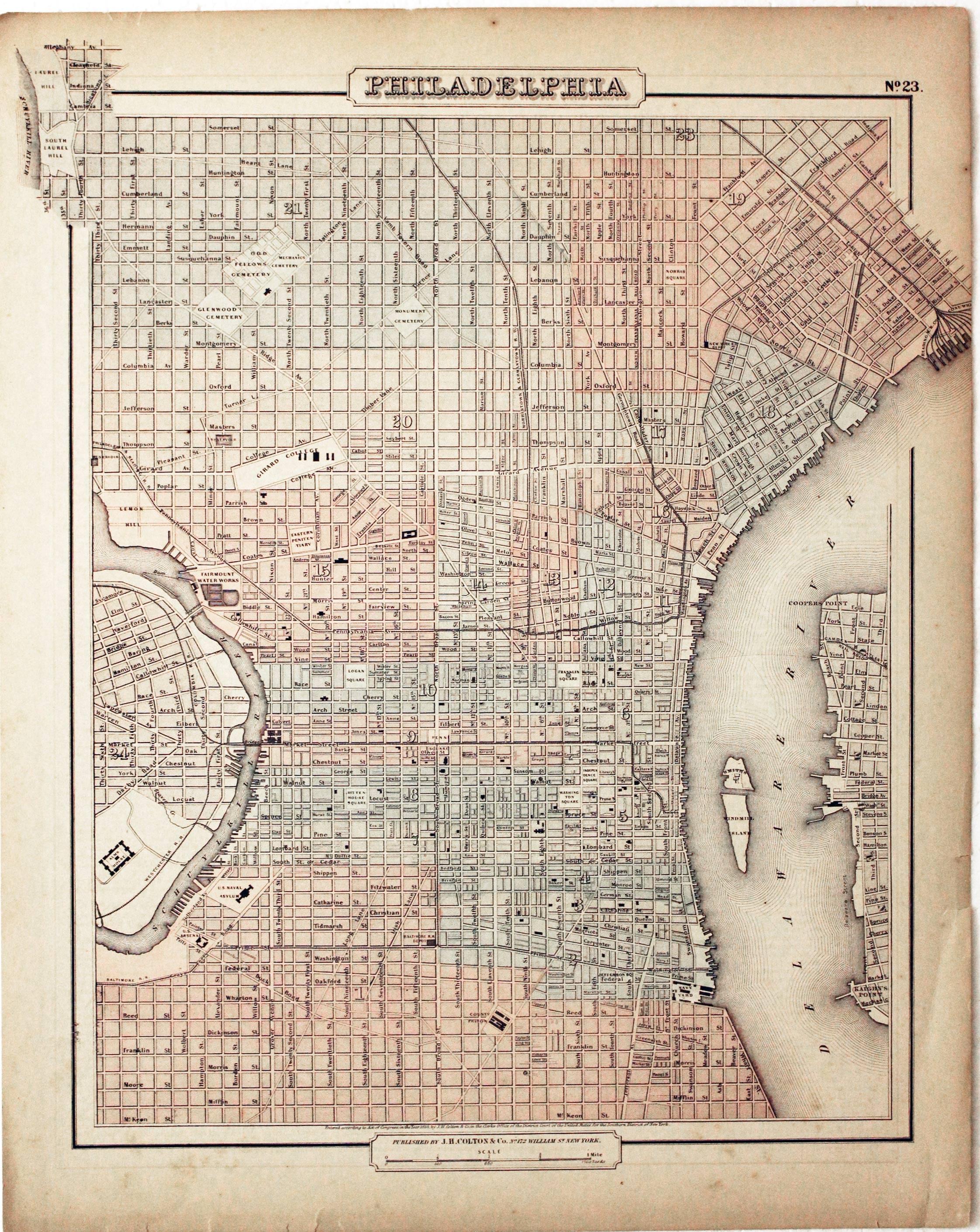
Philadelphia, Joseph Hutchins Colton, 1858
11356 Philadelphia, Joseph Hutchins Colton, 1858. Price: 52.00
PHILADELPHIA
A plan of the city. 11 3/4 x 14 3/4 inches. Early wash colouring. Lightly toned. Few tiny nicks on the edge of the bottom blank margin otherwise good condition. Description of Delaware on verso.
19th Century - Early Colouring
-
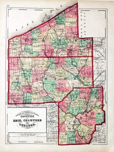
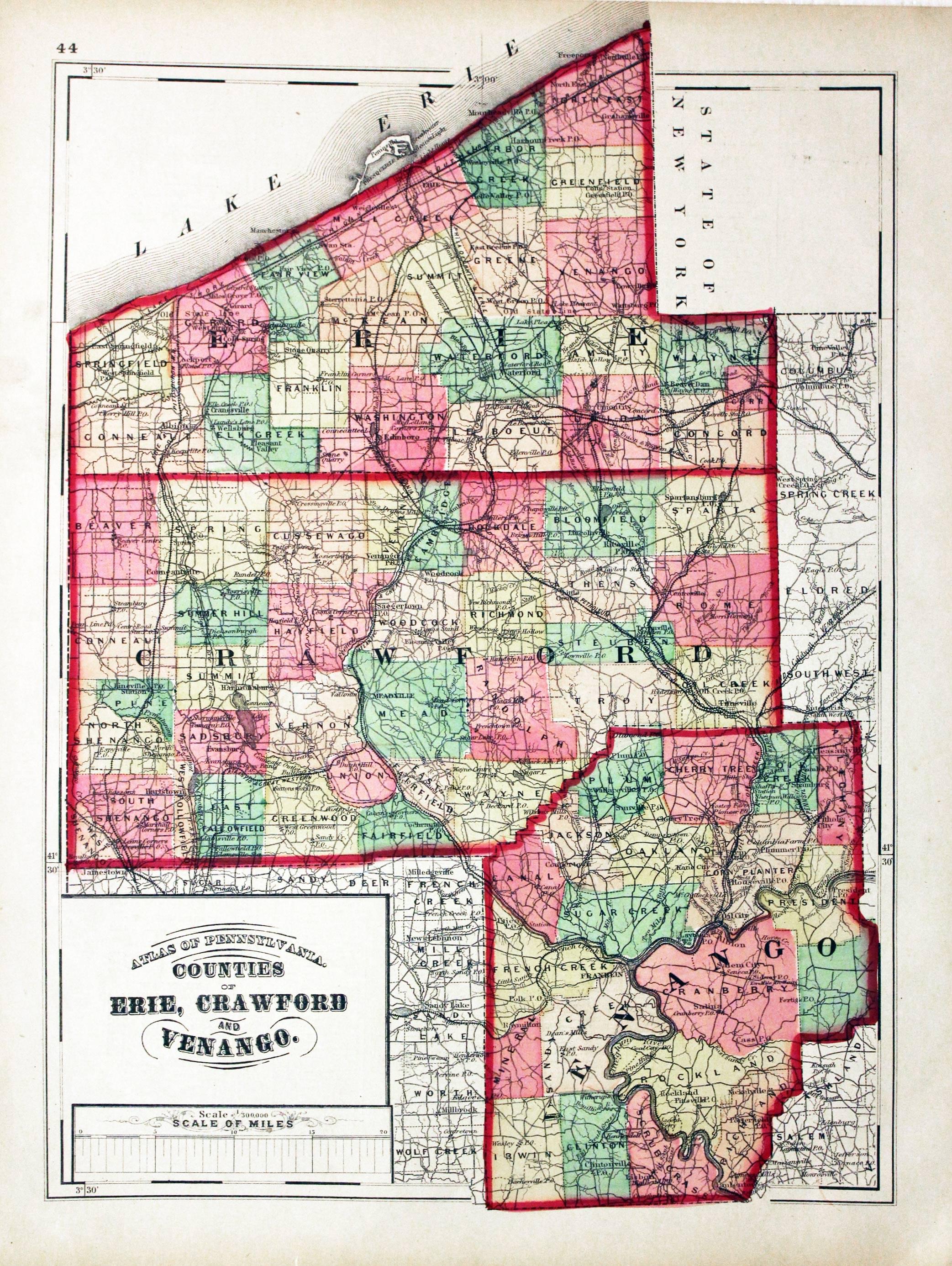
Erie, Crawford and Venango, Henry F. Walling & O. W . Gray, 1872
23507 Erie, Crawford and Venango, Henry F. Walling & O. W . Gray, 1872. Price: 32.00
COUNTIES OF ERIE, CRAWFORD AND VENANGO
Hand coloured lithograph map. Title panel and scale. 11 1/2 x 15 1/4 inches. Text on verso. Good condition.
From: New Topographical Atlas of the State of Pennsylvania
19th Century
-

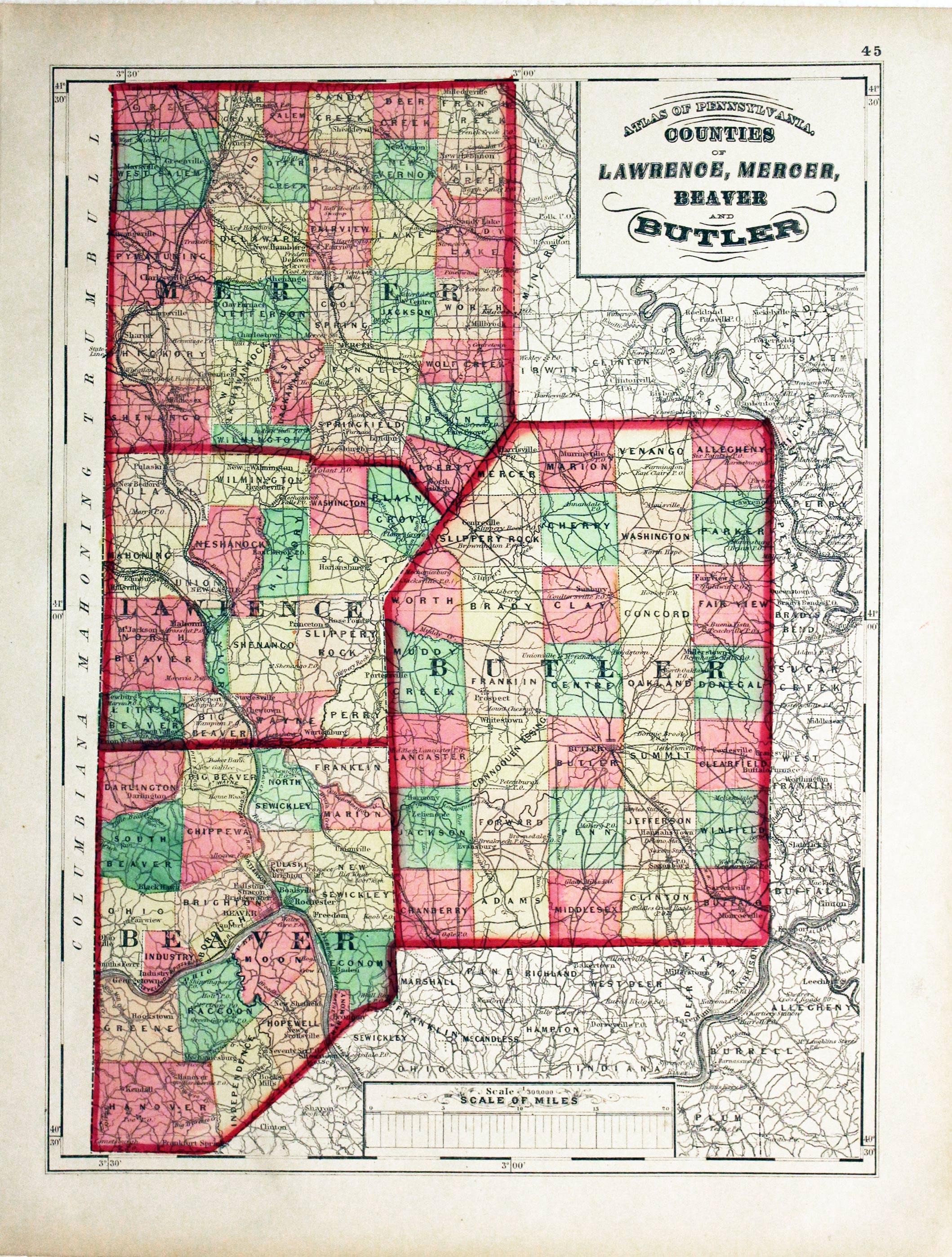
Lawrence, Merser, Beaver and Butler, Henry F. Walling & O. W. Gray, 1872
23508 Lawrence, Merser, Beaver and Butler, Henry F. Walling & O. W. Gray, 1872. Price: 32.00
COUNTIES OF LAWRENCE, MERSER, BEAVER AND BUTLER
Hand coloured lithograph map. Title panel and scale. 11 1/2 x 15 1/4 inches. Good condition.
From: New Topographical Atlas of the State of Pennsylvania
19th Century
-

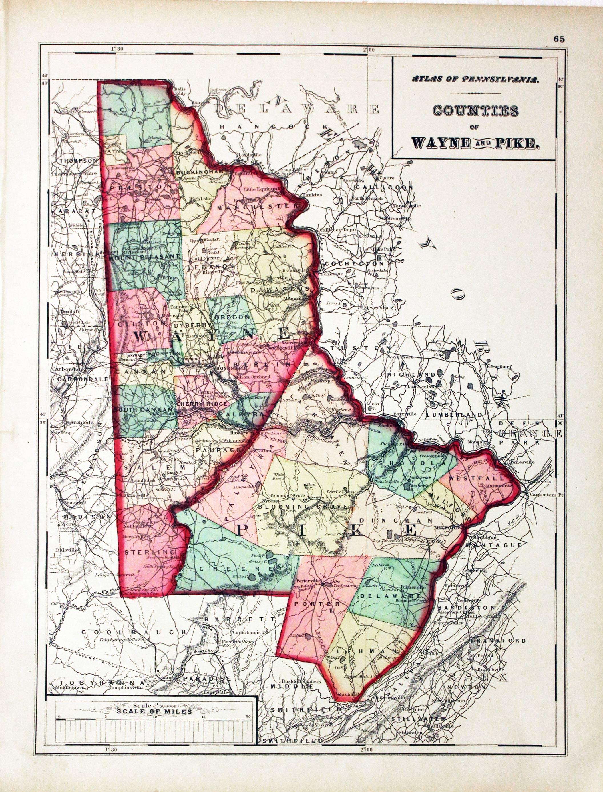
Waye and Pyke, Henry F. Walling & O. W. Gray, 1872
23510 Waye and Pyke, Henry F. Walling & O. W. Gray, 1872. Price: 32.00
COUNTIES OF WAYNE AND PIKE
Hand coloured lithograph map. Title panel and scale. 11 1/2 x 15 1/4 inches. Good condition.
From: New Topographical Atlas of the State of Pennsylvania
19th Century
-

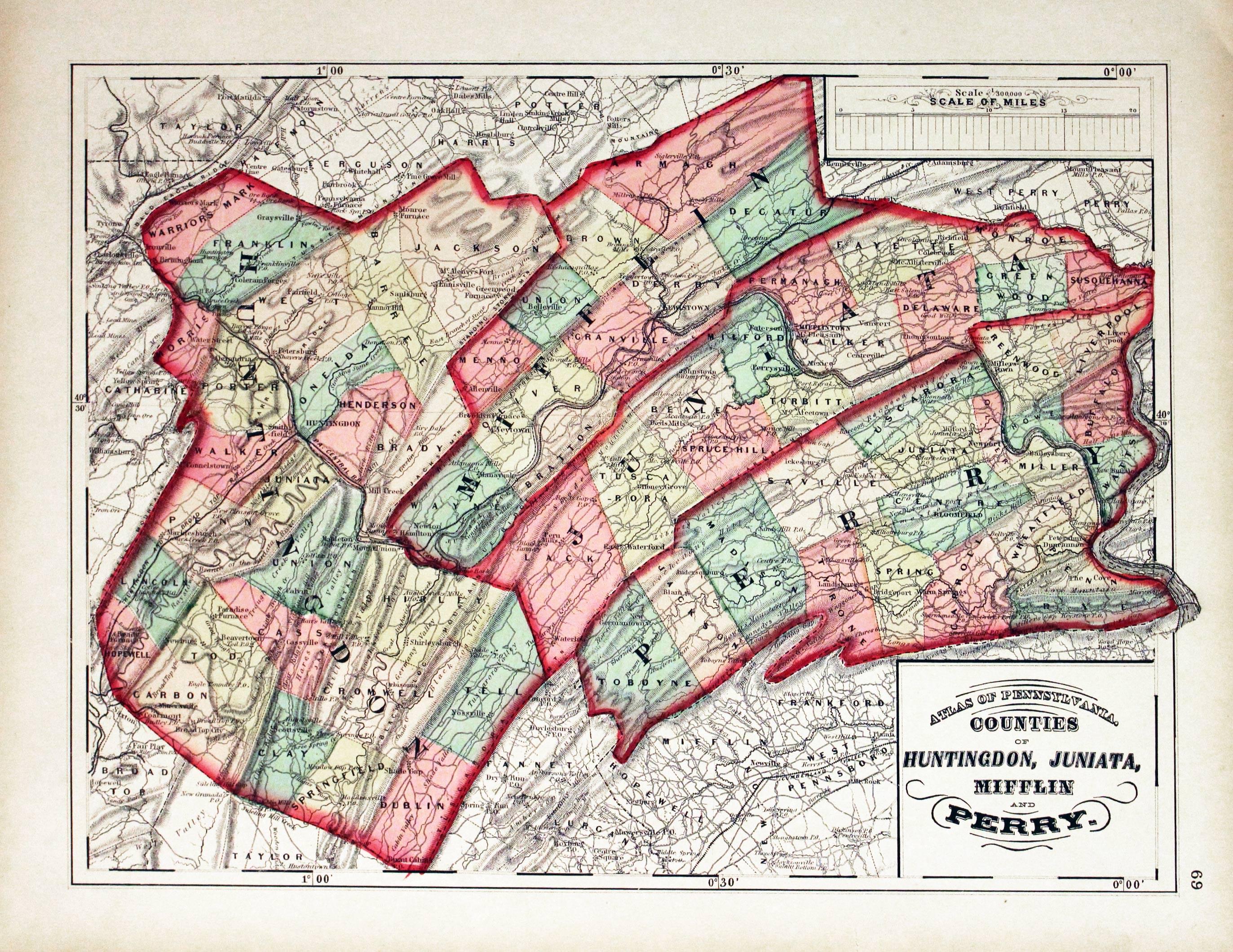
Huntingdon, Juniata, Mifflin And Perry, 1872. Henry F. Walling & O. W. Gray
23512 Huntingdon, Juniata, Mifflin And Perry, 1872. Henry F. Walling & O. W. Gray. Price: 32.00
COUNTIES OF HUNTINGDON, JUNIATA, MIFFLIN AND PERRY
Hand coloured lithograph map. Title panel and scale. 11 1/2 x 15 1/4 inches. Good condition.
From: New Topographical Atlas of the State of Pennsylvania
19th Century
-
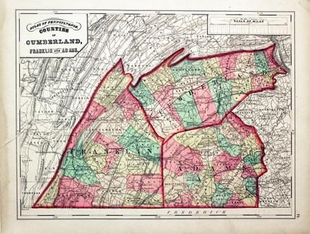
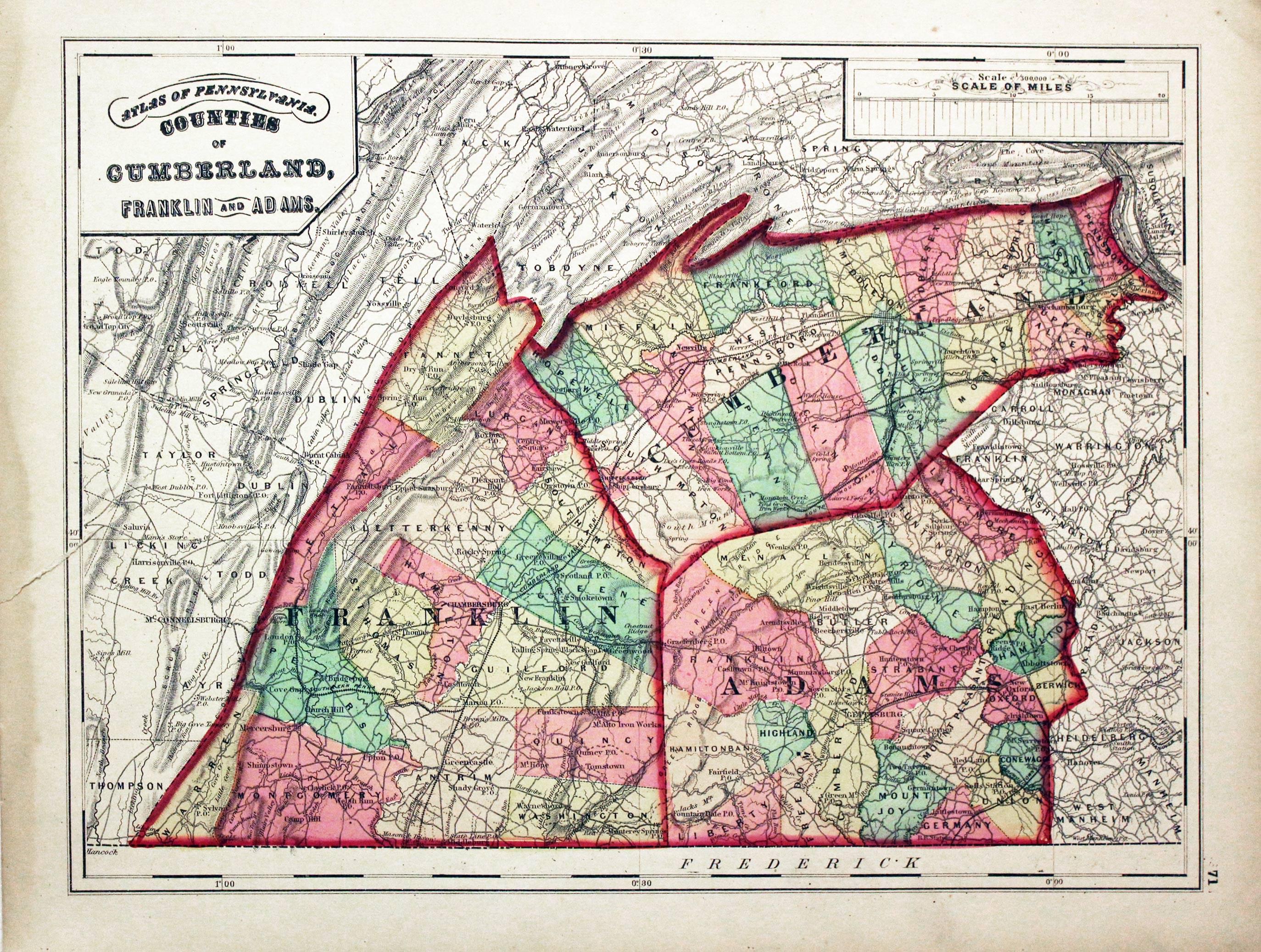
Cumberland, Franklin And Adams, Henry F. Walling & O. W. Gray. 1872
23513 Cumberland, Franklin And Adams, Henry F. Walling & O. W. Gray. 1872 Price: 22.00
COUNTIES OF CUMBERLAND, FRANKLIN AND ADAMS
Hand coloured lithograph map. Title panel and scale. 11 1/2 x 15 1/4 inches. Marginal tear extending half inch into map area , otherwise good condition
From: New Topographical Atlas of the State of Pennsylvania
19th Century
-

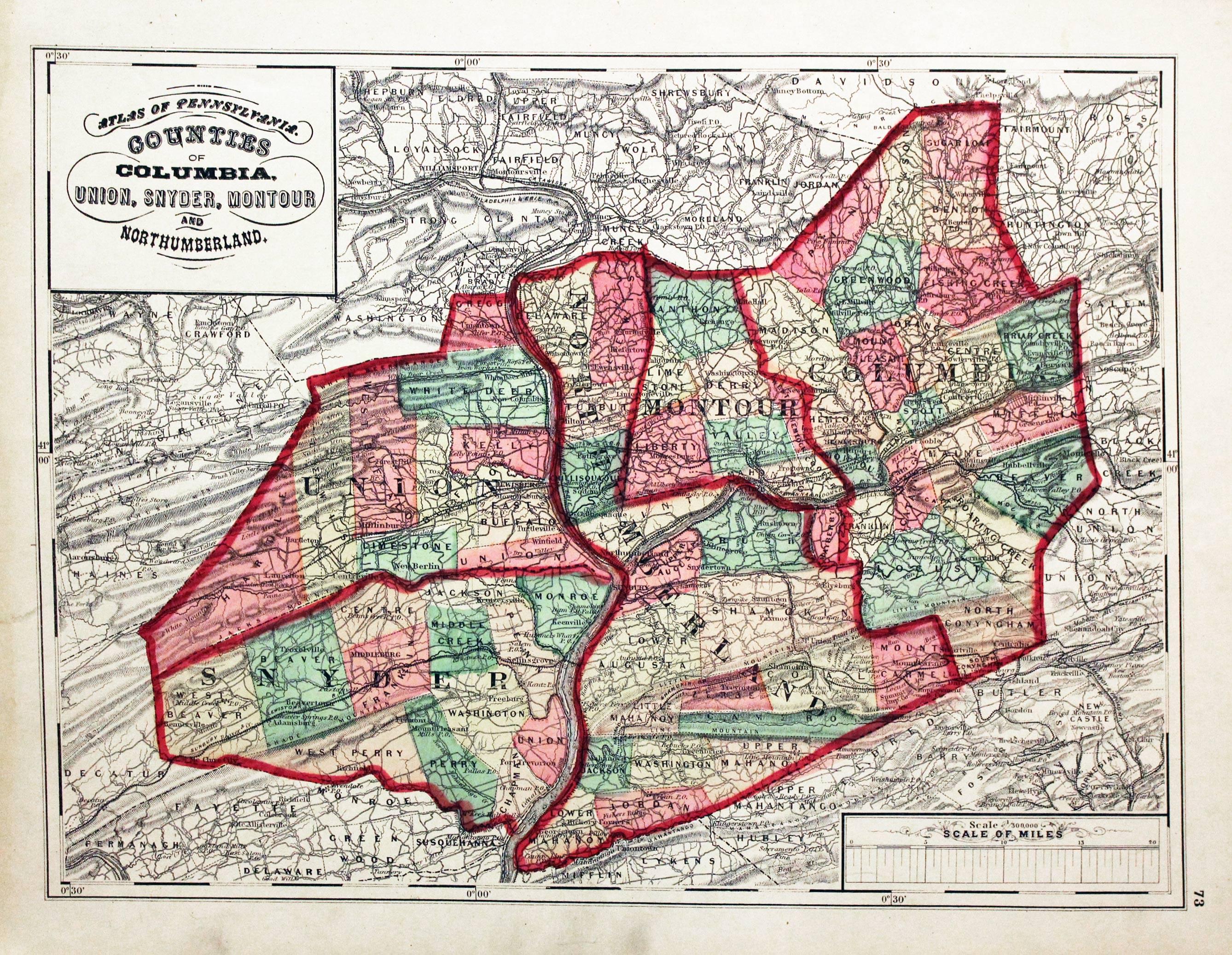
Counties Of Columbia, Union, Snyder, Montour And Northumberland, Henry F. Walling & O. W. Gray, 1872
23514 Counties Of Columbia, Union, Snyder, Montour And Northumberland, Henry F. Walling & O. W. Gray, 1872. Price: 32.00
COUNTIES OF COLUMBIA, UNION, SNYDER, MONTOUR AND NORTHUMBERLAND
Hand coloured lithograph map. Title panel and scale. 11 1/2 x 15 1/4 inches. Good condition.
From: New Topographical Atlas of the State of Pennsylvania
19th Century
-

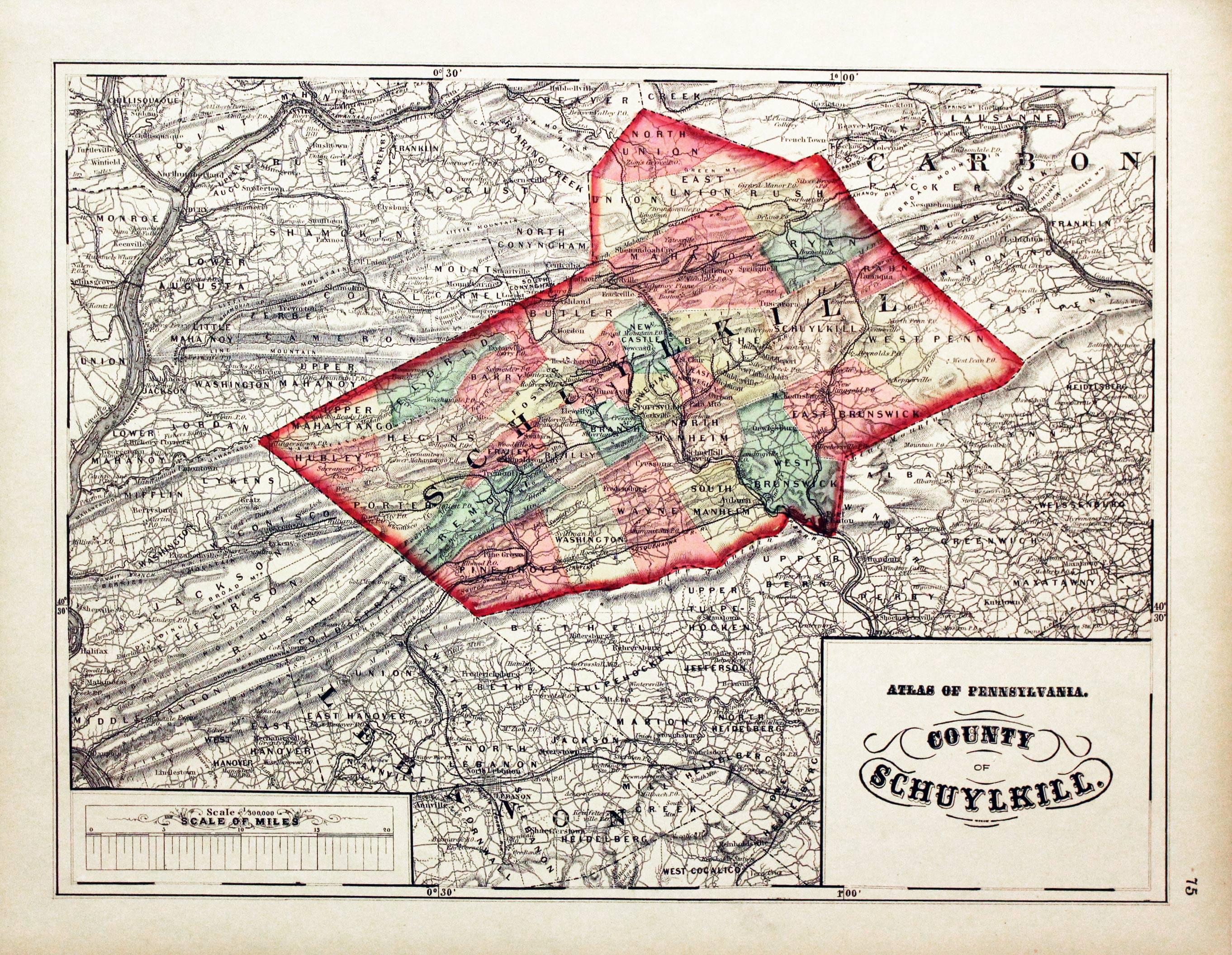
Schuylkill, 1872. Henry F. Walling & O. W. Gray
23515 Schuylkill, 1872. Henry F. Walling & O. W. Gray. Price: 30.00
COUNTY OF SCHUYLKILL
Hand coloured lithograph map. Title panel and scale. 15 X 11 1/2 inches. Good condition.
From: New Topographical Atlas of the State of Pennsylvania
19th Century
-

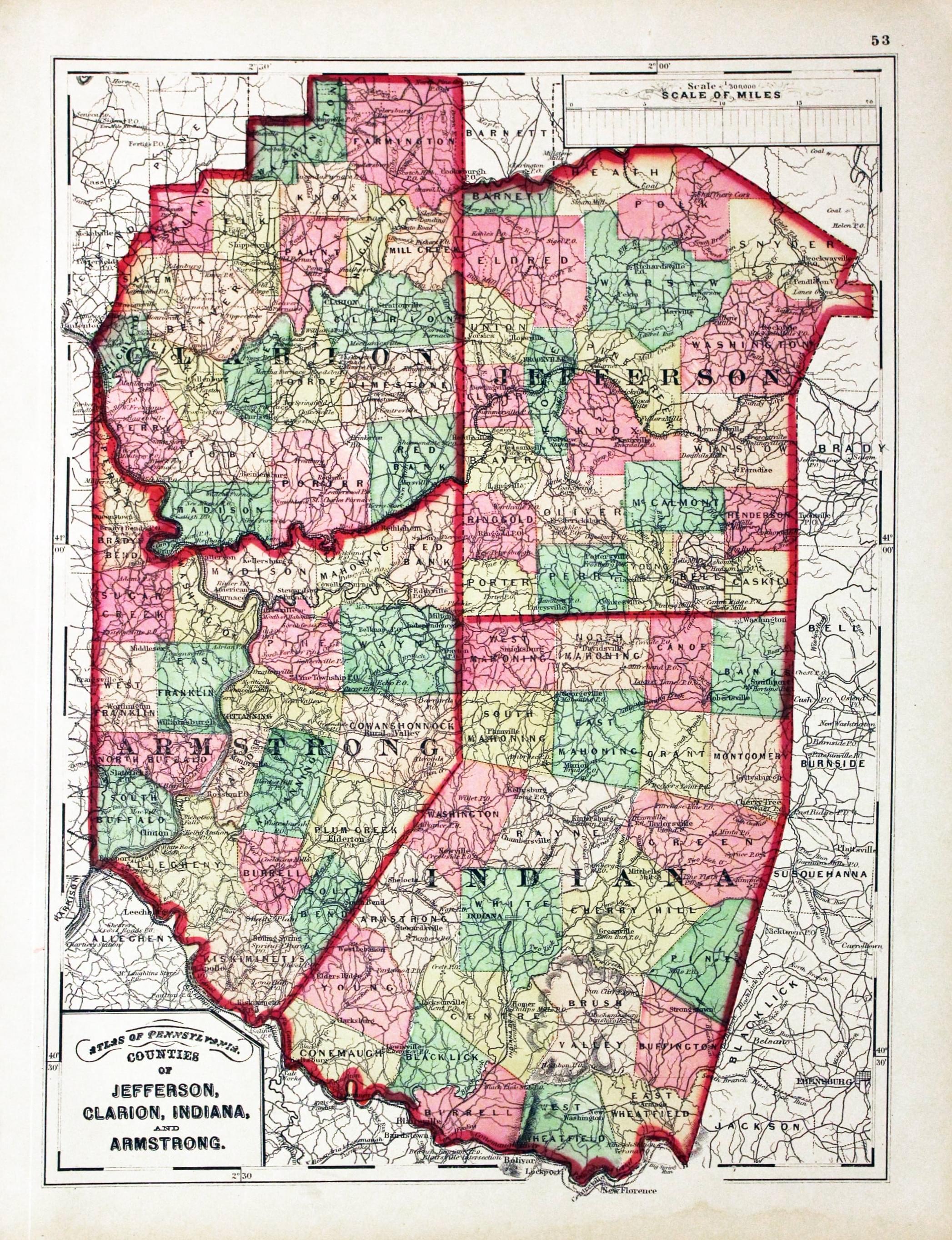
Jefferson, Clarion, Indiana, and Armstrong, Henry F. Walling & O. W. Gray, 1872
23520 Jefferson, Clarion, Indiana, and Armstrong, Henry F. Walling & O. W. Gray, 1872. Price: 30.00
COUNTIES OF JEFFERSON, CLARION, INDIANA, AND ARMSTRONG
Hand coloured lithograph map. Title panel and scale. 11 1/2 x 15 1/4 inches. Good condition.
From New Topographical Atlas of the State of Pennsylvania
19th Century
-

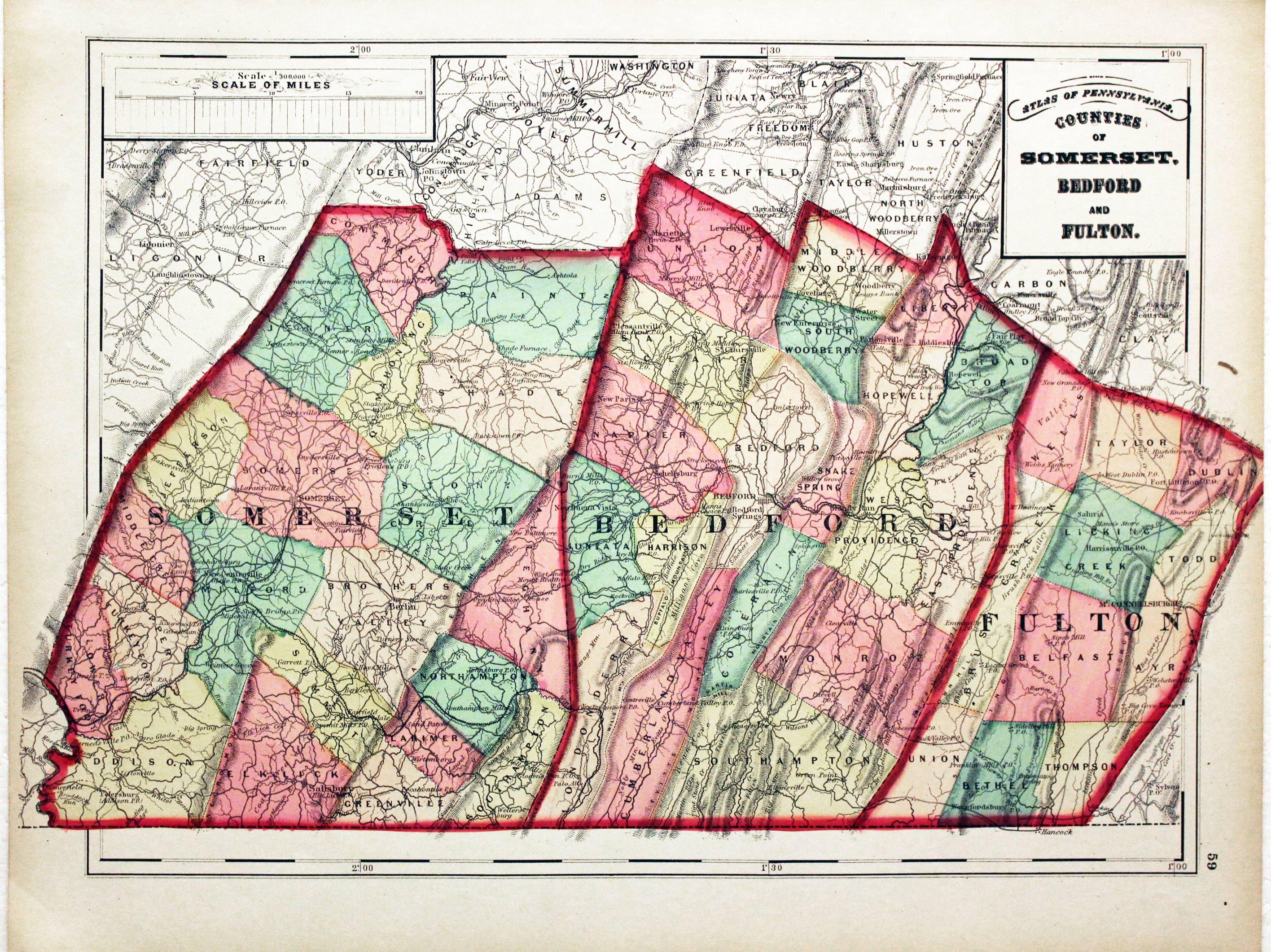
Somerset, Bedford and Fulton, Henry F. Walling & O. W. Gray, 1872
23524 Somerset, Bedford and Fulton, Henry F. Walling & O. W. Gray, 1872. Price: 30.00
COUNTIES OF SOMERSET, BEDFORD AND FULTON
Hand coloured lithograph map. Title panel and scale. 16 1/2 x 11 1/2 inches. Good condition.
From New Topographical Atlas of the State of Pennsylvania
19th Century
-
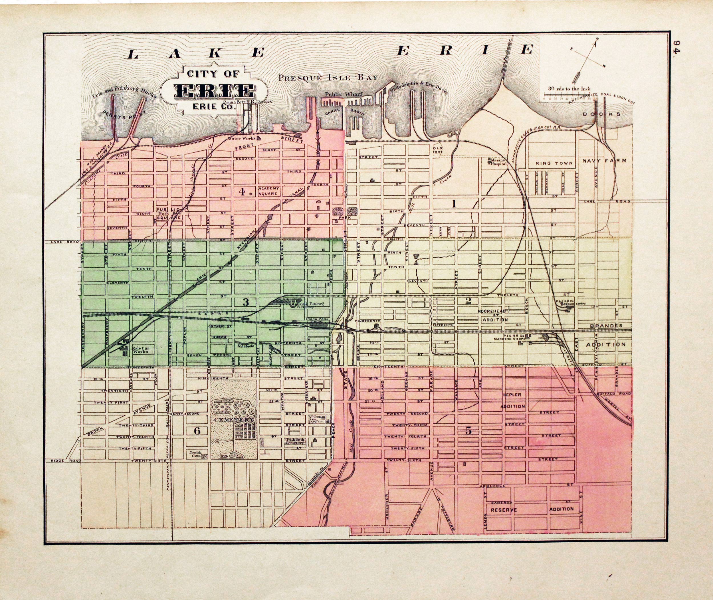
Erie / Reading, Henry Walling & O. W. Gray, 1872
23534 Erie / Reading, Henry Walling & O. W. Gray, 1872. Price: 30.00
A double sided map on one side
CITY OF ERIE ERIE CO.
13 1/2 x 11 inches.
On the other side
CITY OF READING BERKS CO. PENNA. BY SAML. M. REA CITY ENG.
1872
10 3/4 X 13 1/2 inches.
Both with early colouring. Good condition.
From: New Topographical Atlas of the State of Pennsylvania
VIRGINIA
19th Century
-

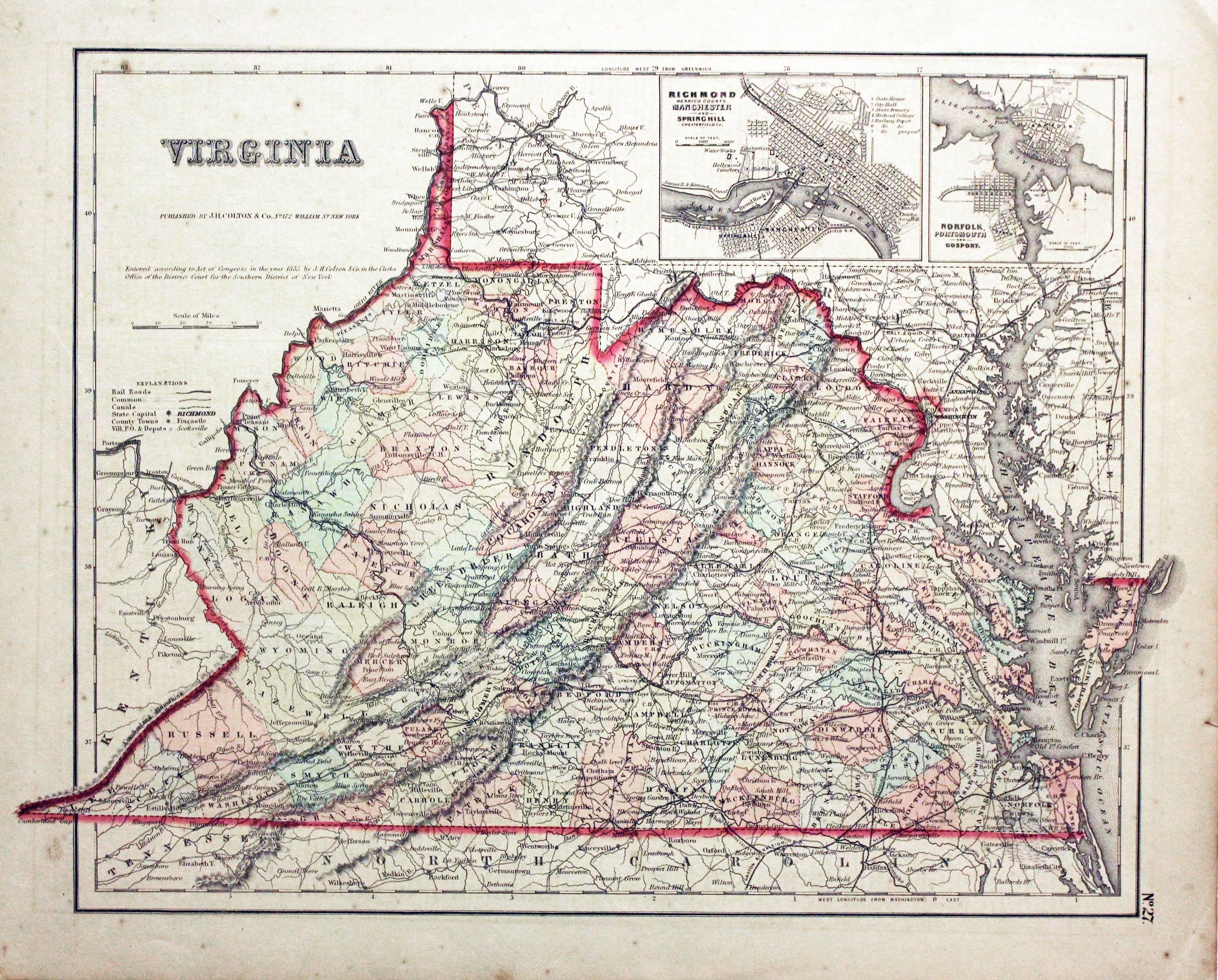
Virginia, Joseph Hutchins Colton 1857
20982 Virginia, Joseph Hutchins Colton 1857. Price: 48.00
VIRGINIA
A detailed map of the state of Virginia. Two uncoloured inset town plans of Richmond/Manchester/Springhill and Norfolk/Portsmouth/Gosport. 14 1/2 x 11 1/2 inches. Original wash colouring. Very lightly toned. Good condition.
From: Colton’s General Atlas
Late 19th Century
-

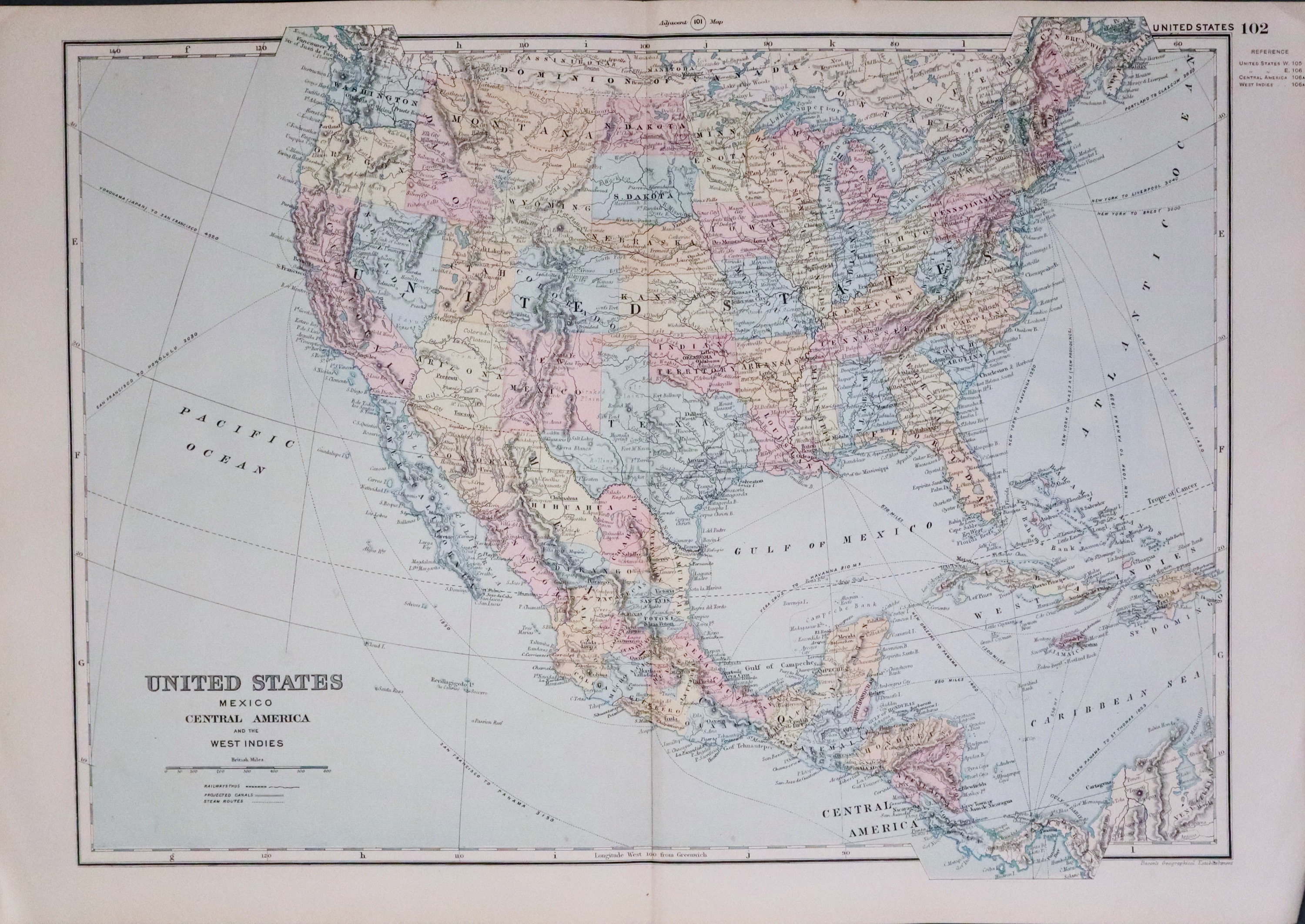
United States of America - G W Bacon 1891
33470 United States of America, George Washington Bacon, 1891. Price: 29.00
UNITED STATES/MEXICO/CENTRAL AMERICA AND THE WEST INDIES
A detailed colour printed map. 17 x 12 1/4 inches. Original centre fold. Good clean condition.
From Complete Atlas of the World
Late 19th Century
-

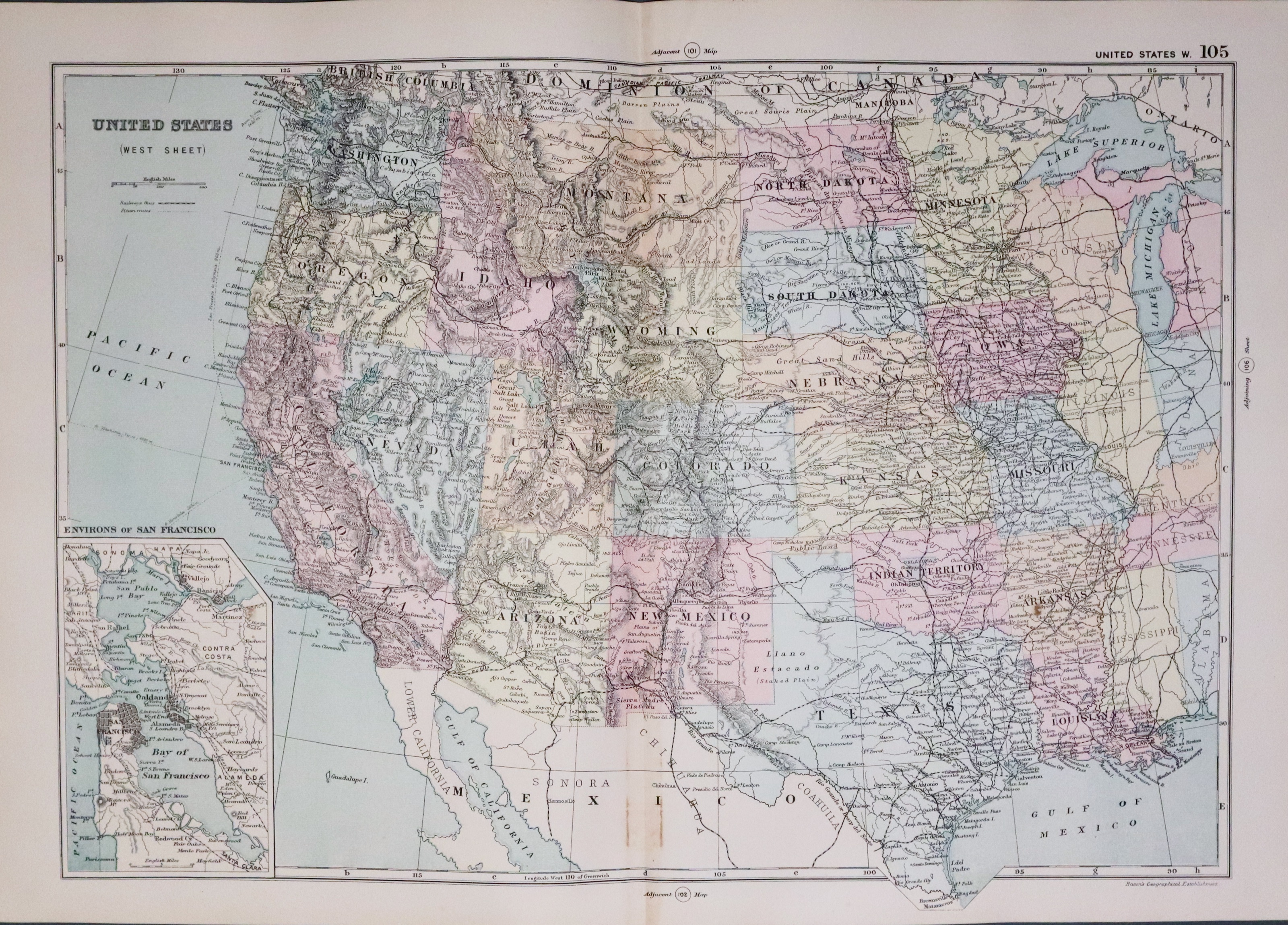
United States of America - West, G W Bacon 1891
33470 United States of America (West), George Washington Bacon, 1891. Price: 29.00
UNITED STATES WEST SHEET
A detailed colour printed map. Inset map of San Francisco and Bay. 17 1/2 x 12 inches. Original centre fold. Good clean condition.
From Complete Atlas of the World
Late 19th Century
-

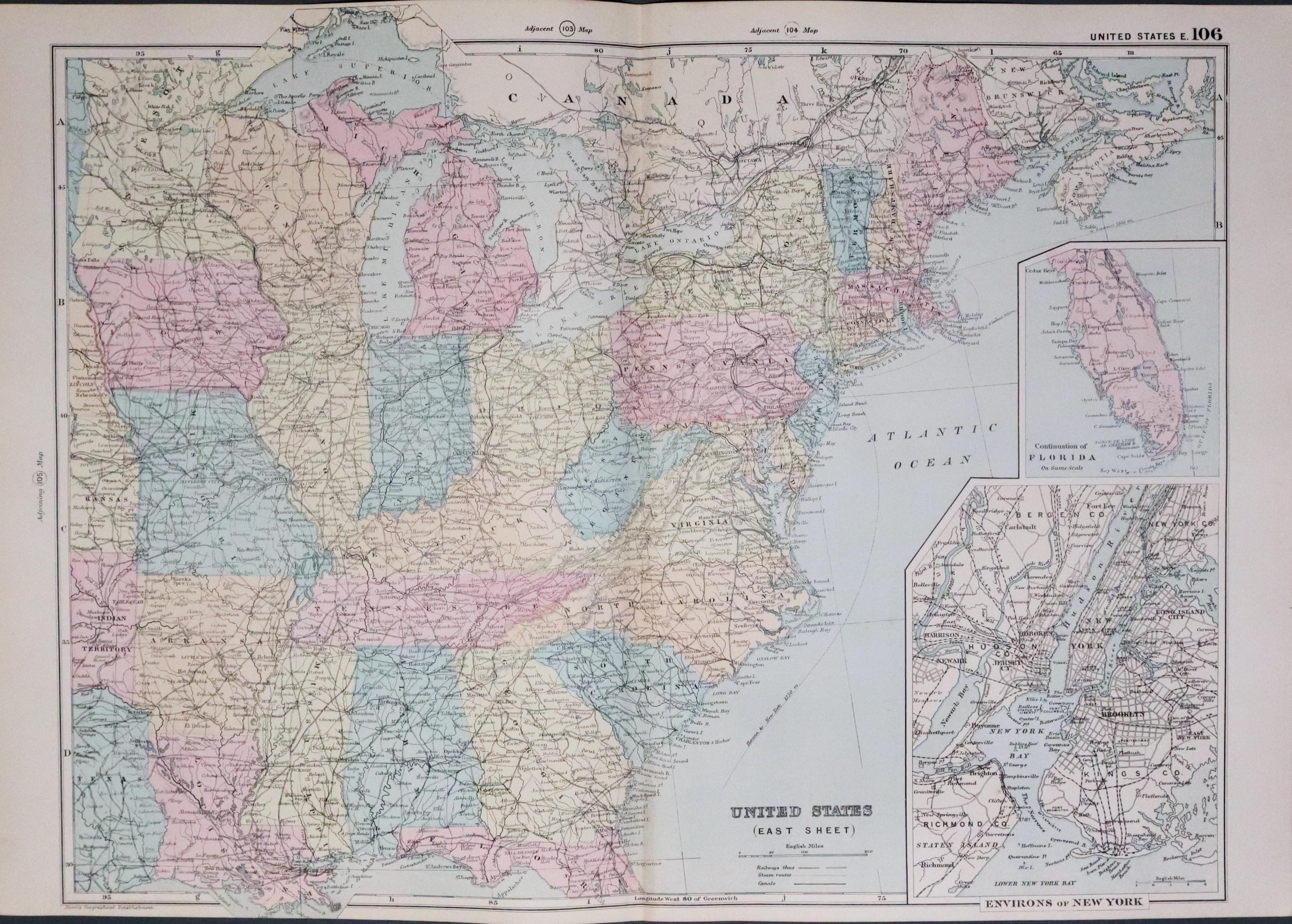
United States of America - South, G W Bacon 1891
33471 United States of America (Southern), George Washington Bacon, 1891. Price: 29.00
UNITED STATES EAST SHEET
A detailed colour printed map. Inset map of Environs of New York. Continuation of Florida shown as an inset. 17 1/2 x 12 3/4 inches. Original centre fold. Good clean condition.
From: Complete Atlas of the World
