ANTIQUE MAPS of
Baden-Wurttemberg
Bavaria, Brandenburg and Hesse
Richard Nicholson of Chester
A World of Antique Maps and Prints
Established in 1961
All the Maps on this page are guaranteed to be genuine early specimens
pubished in or around the year stated
BADDEN-WURTTEMBERG
18th Century - Early Hand Colouring
-

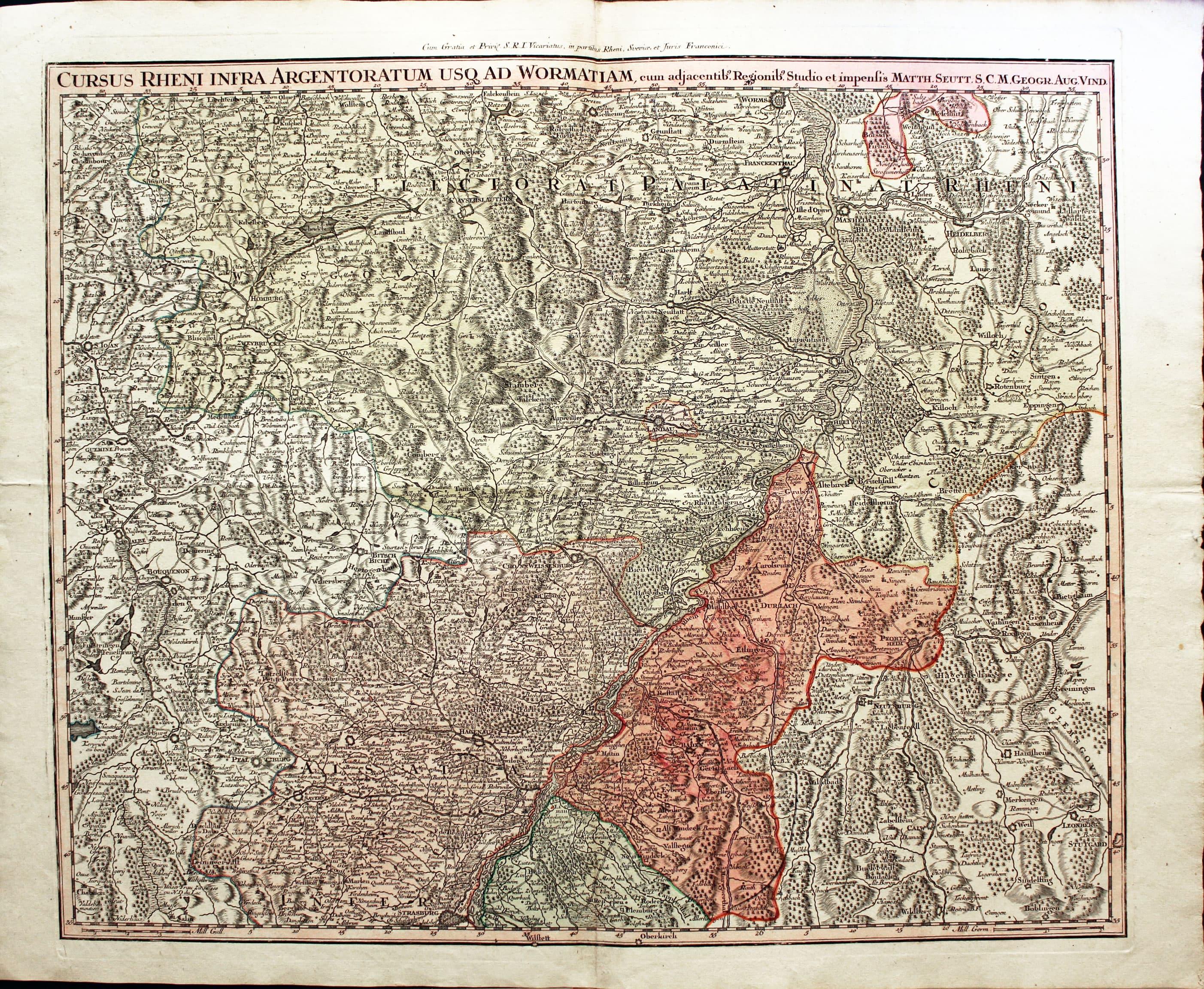
Part of the River Rhine, George M. Seutter, c.1740
8200 Part of the River Rhine, George M. Seutter, c.1740. Price: 120.00
CURSUS RHENI INFRA ARGENTORATUM USQ AD WORMATIAM....
An engraved map showing a section of Germany including the Rhine from Worms to Strasbourg. Includes Heidelberg, Saarbrucken and Pforzheim. The title is shown across the top of the map. 23 x 19 inches, 570 x 470 mm. Original outline and wash colouring. Good condition.
Early 18th Century - Genealogy
-
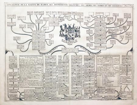
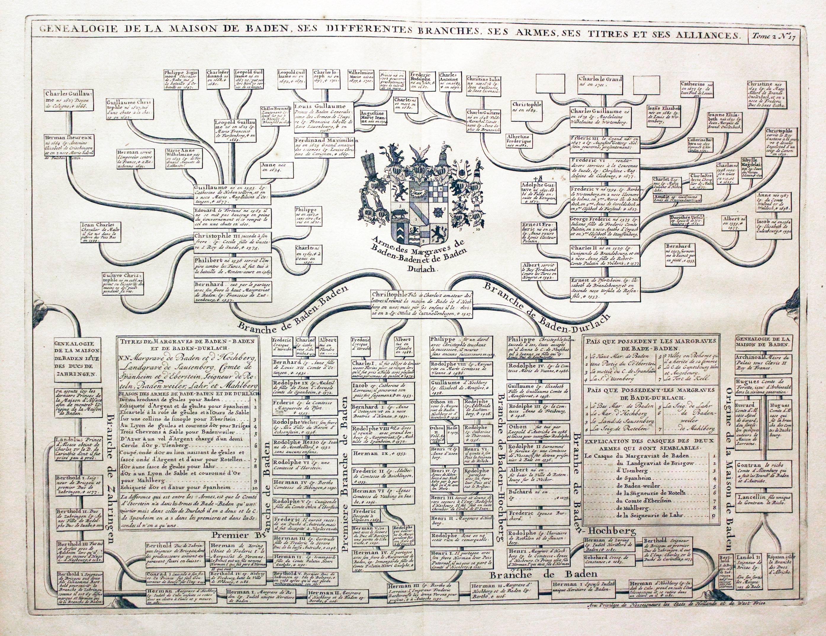
Genealogy Table, Henri Abraham Chatelain, 1708
34560 Genealogy Table, Henri Abraham Chatelain, 1708. Price: 27.00
GENEALOGIE DE LA MAISON DE BADEN SES DIFFERENTES BRANCHES, SES ARMES, SES TITRES ET SES ALLIANCES
An interesting engraved genealogy table embellished with a coat of arms. 18 x 13 1/2 inches. Uncoloured. Good condition.
From: Atlas Historique
17th Century
-

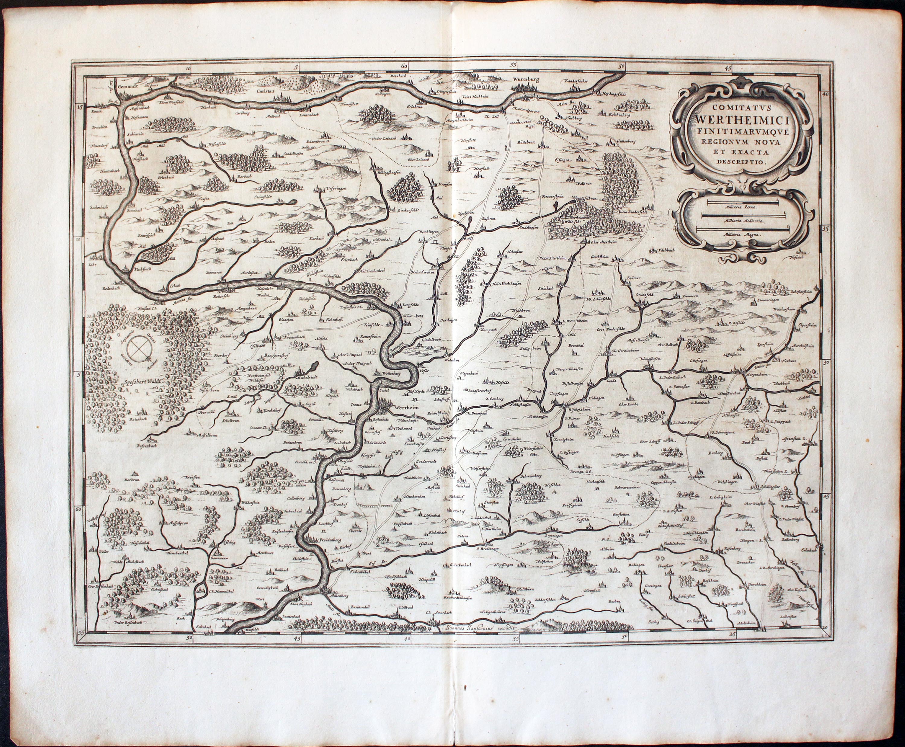
Wertheim, Jan Jansson 1647
32025 Wertheim, Jan Jansson, c.1647. Price: 110.00
PRINCIPATUS HENNENBERGENSIS
A detailed engraved 17th century map of the region embellished with three decorative cartouches displaying the title, scale and attribution to Henry Hondius. 19 1/2 x 14 1/2 inches. Uncoloured. Dutch text on verso. Two tiny nicks on the edge of the top blank margin otherwise good condition. Straight from the atlas and not previously been offered for sale as a single map.
From: Nieuwen Atlas, Ofte Weerelt-Beschrijvinghe
BAVARIA
19th Century Town Plan - Early Hand Colouring
-
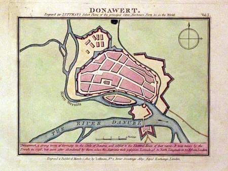
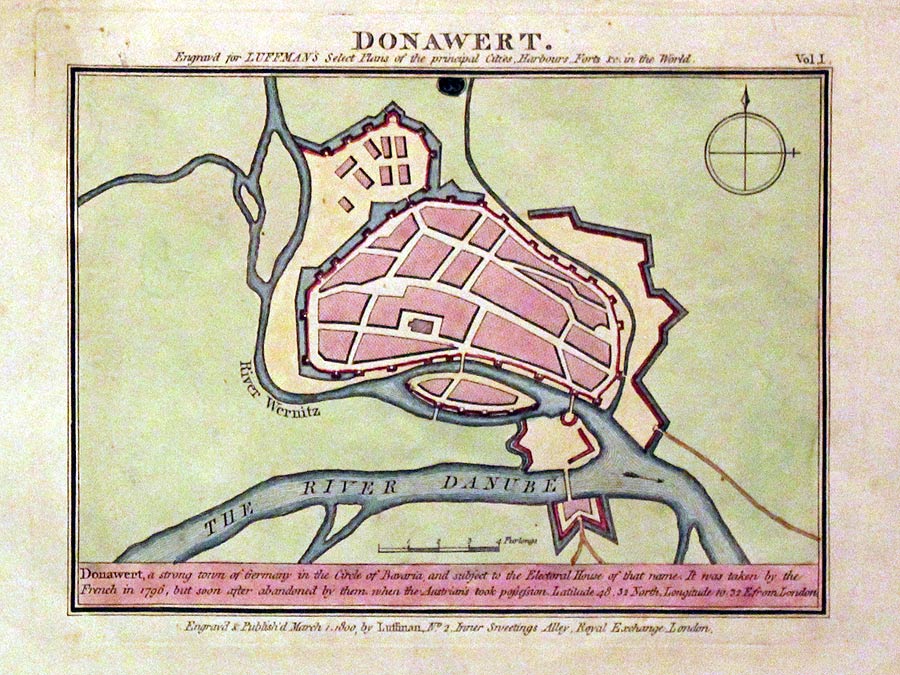
Donauworth, John Luffman, 1804
18037 Donauworth, John Luffman, 1804. Price: 24.00
DONAWERT
A simple town plan with a two line description beneath. Dated 1800. 6 x 4 inches, 150 x 110 mm. Original wash colouring. Good condition.
From: Plans of the Principal Cities, Harbours and Forts in the World
19th Century - Early Hand Colouring
-
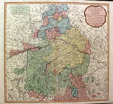
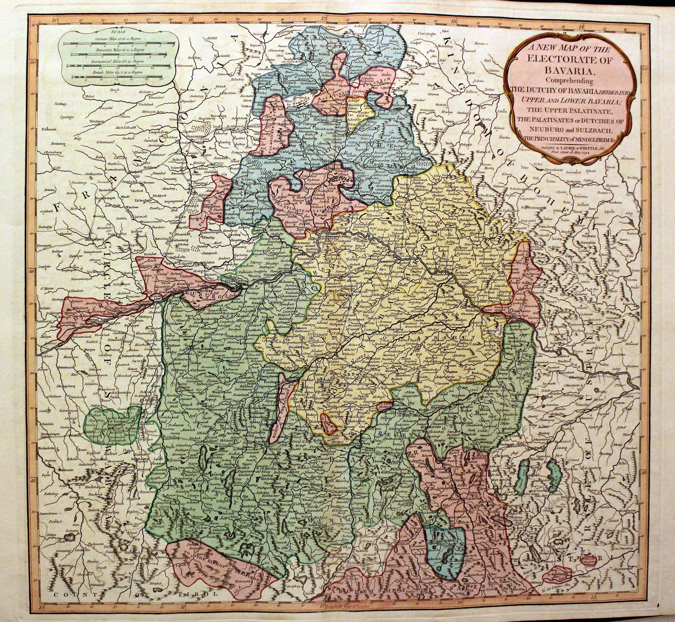
Bavaria, Laurie and Whittle, 1807
21674 Bavaria, Laurie and Whittle, 1807. Price: 90.00
A NEW MAP OF THE ELECTORATE OF BAVARIA COMPREHENDING THE DUTCHY OF BAVARIA DIVIDED INTO UPPER AND LOWER BAVARIA; THE UPPER PALATINATE, THE PALATINATES OR DUTCIHES OF NEUBERG AND SULZBACH, THE PRINCIPALITY OF MINDELHEIM &c.
A detailed engraved map of the region embellished with a rococo title cartouche dated 1794. Four scales shown on panel. 20 x 19 inches. Fine original hand colouring. Good condition.
From: A New and Elegant Imperial Sheet Atlas
18th Century - Early Hand Colouring
-

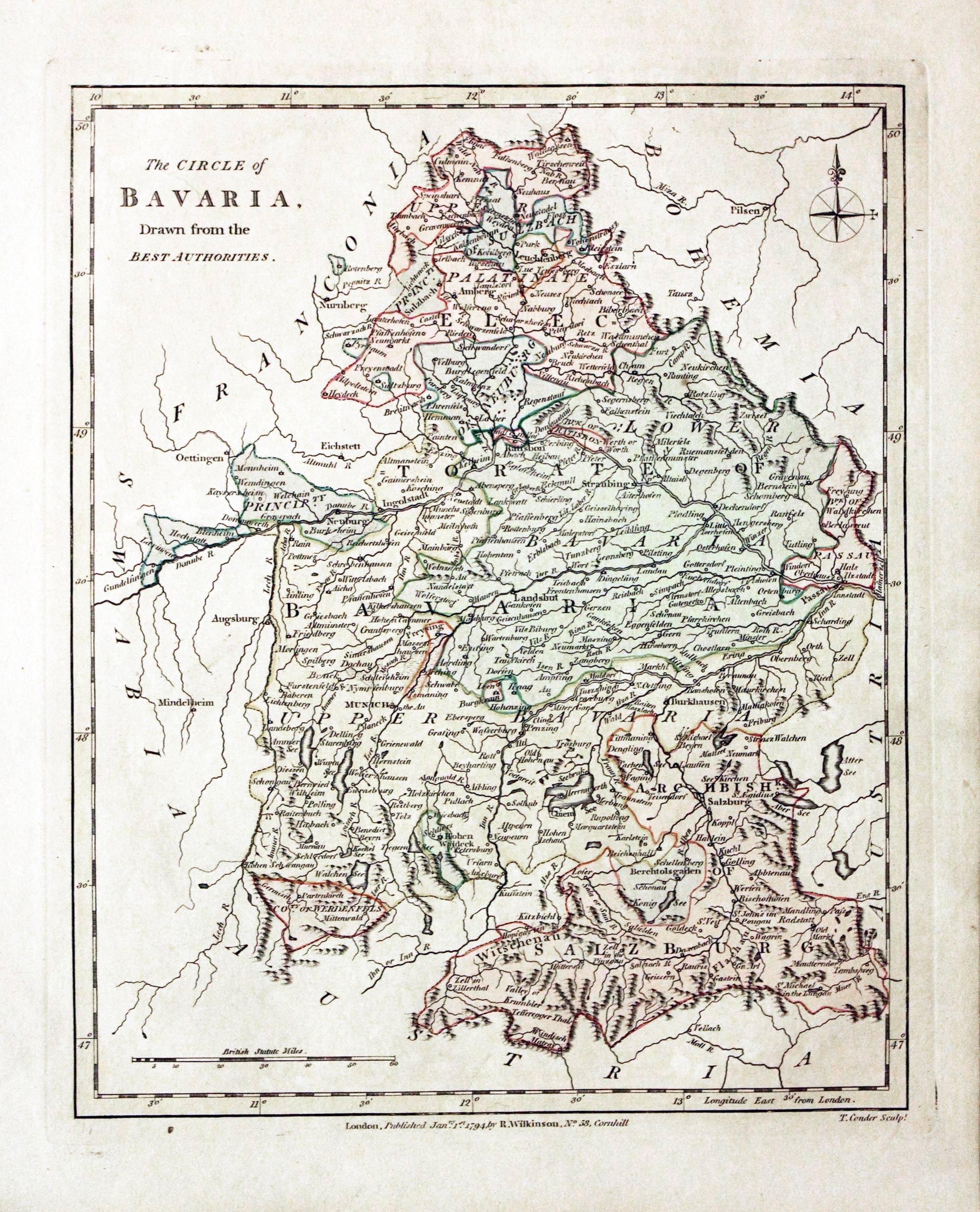
Bavaria, Robert Wilkinson, 1794
29483 Bavaria, Robert Wilkinson, 1794. Price: 48.00
THE CIRCLE OF BAVARIA DRAWN FROM THE BEST AUTHORITIES
The first edition of this map engraved by Thomas Conder. Piublishers imprint beneath the map dated 1794. Original outline and wash hand colouring. 8 1/4 x 10 1/4 inches. Good stout paper. Manuscript number 20 in blank margin. Good clean condition with no repairs. A nice specimen.
From: A General Atlas being A Collection of Maps of the World and Quarters the Principal Empires, Kingdoms &c, with their several Provinces & other Subdivisions, Correctly Delineated
17th Century
-
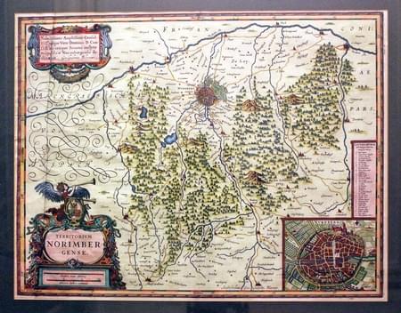
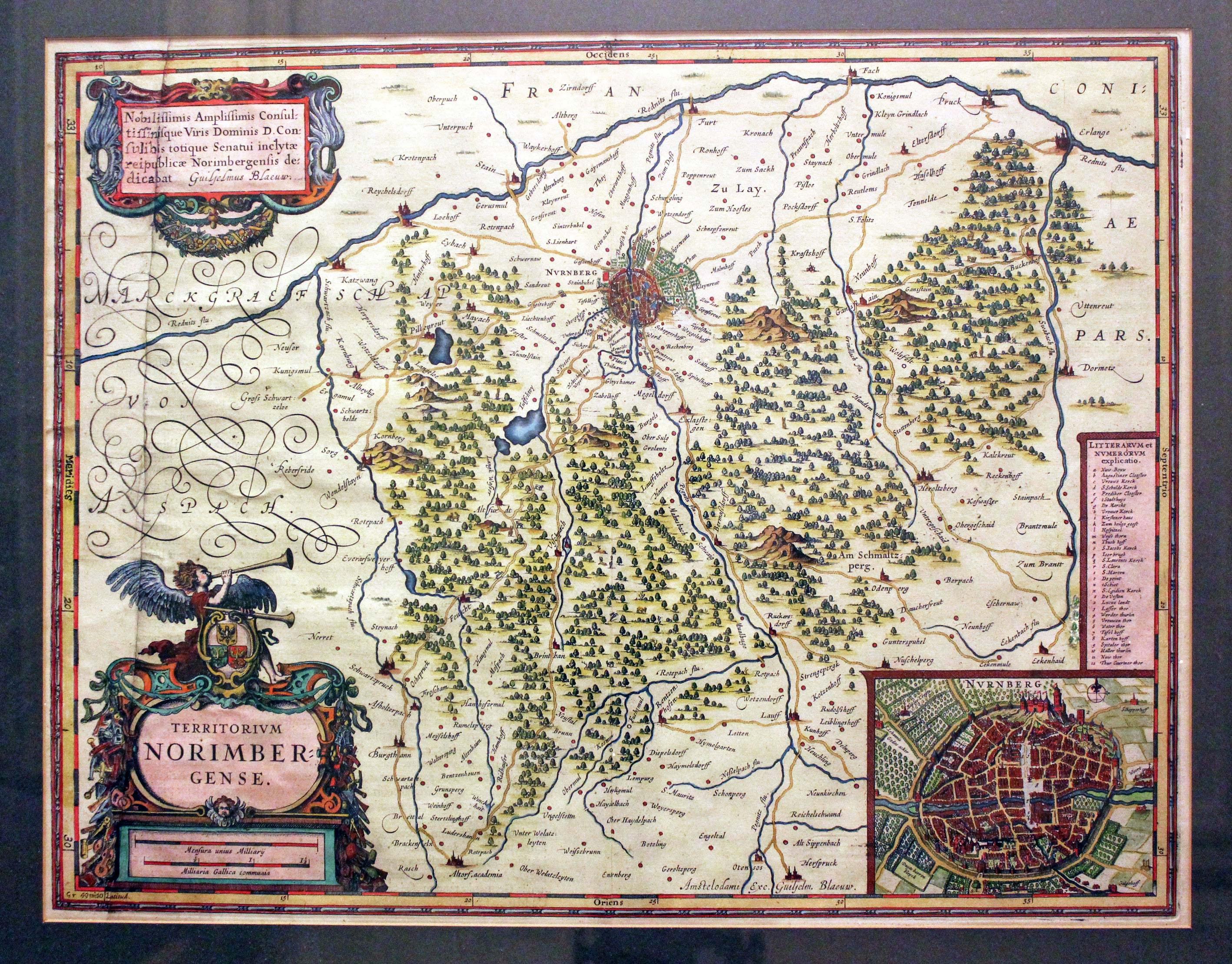
Nurnberg, Joan Blaeu, c.1631
30474 Nurnberg, Joan Blaeu, c.1631. Price: 60.00
TERRITORIUM NORIMBERGENSE
A fine engraved map centred on the town of Nuremberg or Nurnberg. Decorative title and scale cartouches. Inset town plan of Nuremberg with key. 18 x 14 inches, 470 x 360 mm. Latin text on verso. Hand coloured. The map looks good but this is a little deceptive as explained by a label under the double glazing on the back. It says “Portion of extreme left of the map completely torn off. Paper from very wide margin on right of map used to replace missing strip which is drawn in from a photograph and then coloured. R. S. Cossham.” The map was put into a sunk mount and framed in a black and gilt hogarth moulding many years ago. This is still in good condition. The price is just a fraction of what an undamaged specimen would cost. The restoration is very convincing.
Only available to customers who can collect from Christleton
18th Century
-

Franconia, G. Rollos., c.1760
30662 Franconia, G. Rollos, c.1760. Price: 25.00
AN ACCURATE MAP OF THE CIRCLE OF FRANCONIA DRAWN FROM THE BEST AUTHORITIES
An engraved maps embellished with a rococo title cartouche. The imprint of Rollos appears beneath the map. 11 1/2 x 7 1/2 inches. Uncoloured. Good clean condition.
18th Century - Early Hand Colouring
-

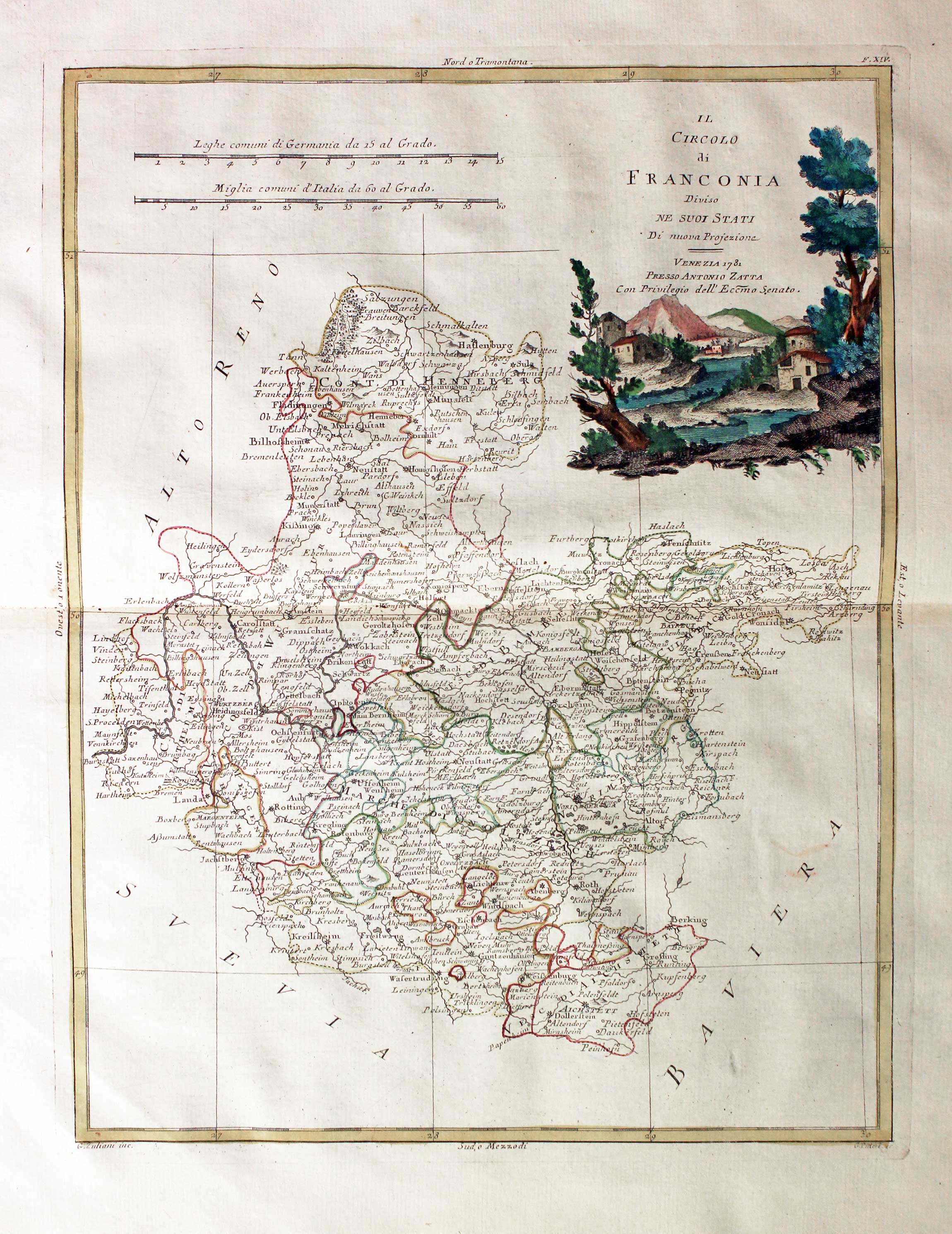
Franconia, Germany Antonio Zatta 1779
25815 Franconia, Antonio Zatta 1781. Price: 95.00
IL CIRCOLO DI FRANCONIA DIVISIO NE SUOI STATI
An engraved map of the region. Shows the area around Nuremberg. Decorative pictorial cartouche which is dated 1781. 16 x 12 1/4 inches. Original hand colouring. Centre fold as published. Superb clean condition. Straight from the atlas and not sold previously as a single map.
From: Atlante Novissimo
18th Century Battle Plan
-

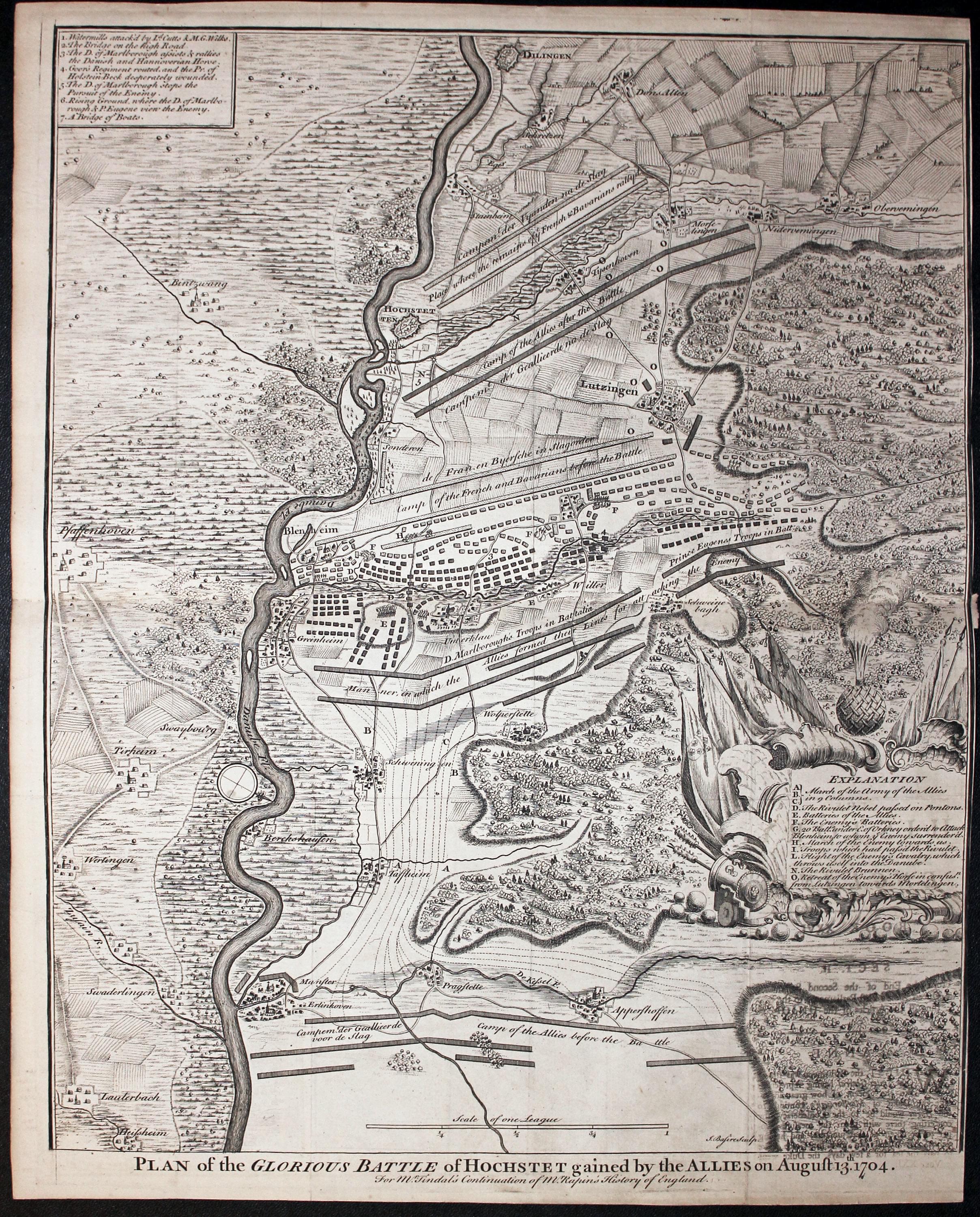
Battle of Holstet, Paul de Rapin-Thoyras, c.1750
26268 Battle of Holstet, Paul de Rapin-Thoyras, c.1750. Price: 45.00
PLAN OF THE GLOURIOUS BATTLE OF HOCHSTET GAINED BY THE ALLIS ON AGUST 13TH. 1704
An interesting engraved battle plan embellished with a decorative explanation cartouche with a cannon and flags. A second plain panel gives further key details. Includes part of the River Danube with the towns of Blenheim and Dilengen. 14 3/4 x 18 inches. Uncoloured. Traces of old folds, now flat. No right hand blank margin otherwise good clean condition.
From: Mr. Tindal’s Continuation of Mr. Rapin’s History of England
18th Century
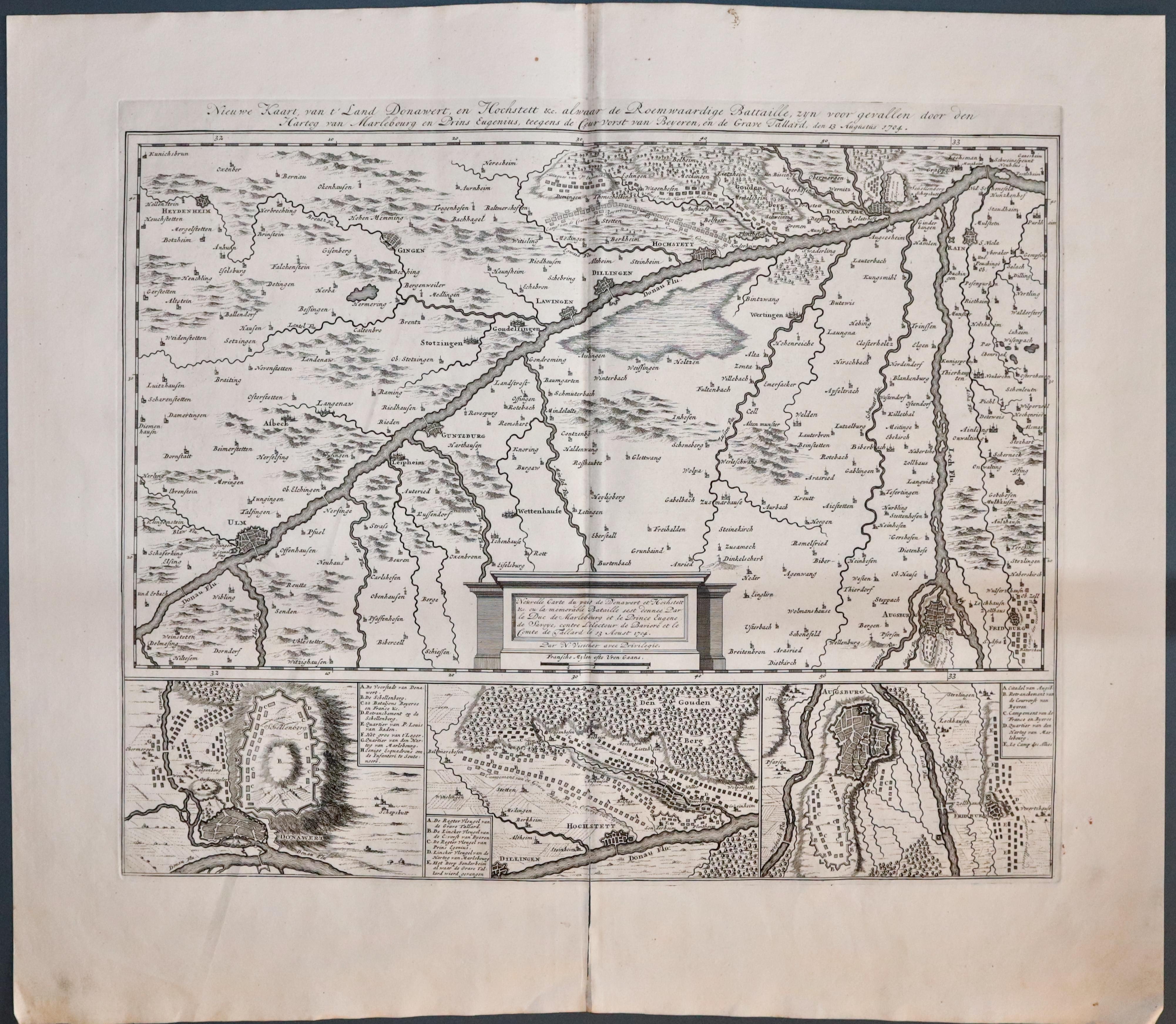
Donauworth, Nicolae Visscher, c.1704. Price: 120.00
NIEUWE KAART VAN ‘T DONAWERT, EN HOCHETETT...
A detailed engraved map showing a section of the River Danube with the towns of Ulm, Lauingen, Schloss-Höchstät and Donauworth. Alng with the Augsburg which lies on the junction of Wertach and Lech river. Beneath the map are three more detailed maps of Donauworth, Schloss-Höchstät and Augsburg. The main map has its title right across the top and bears the date of 1704. A panel displays an attribution to Nicholaes Visscher along with the scale. 18 3/5 x 15 inches. Uncoloured. Split at the borrom of the centre fold which extends 2 inches into the map area. Plain on verso.
18th Century - Early Hand Colouring
33561 South East Germany, Antonio Zatta, c.1780. Price: 54.00
I MARGRAVIATI DI ANSPACH, E BAYREUTH NELLA FRANCONIA....
An detailed engraved 18th century map south eastern Germany embellished with a pictorial title cartouche with tents and flags. Dated 1779. 12 x 15 1/2 inches. Original hand colouring. Original centre fold. Nice clean specimen on crisp paper. This maps has come straight from the atlas and not previously sold as a single map.
From: Atlante Novissimo
BRANDENBURG
18th Century - Early Hand Colouring
-

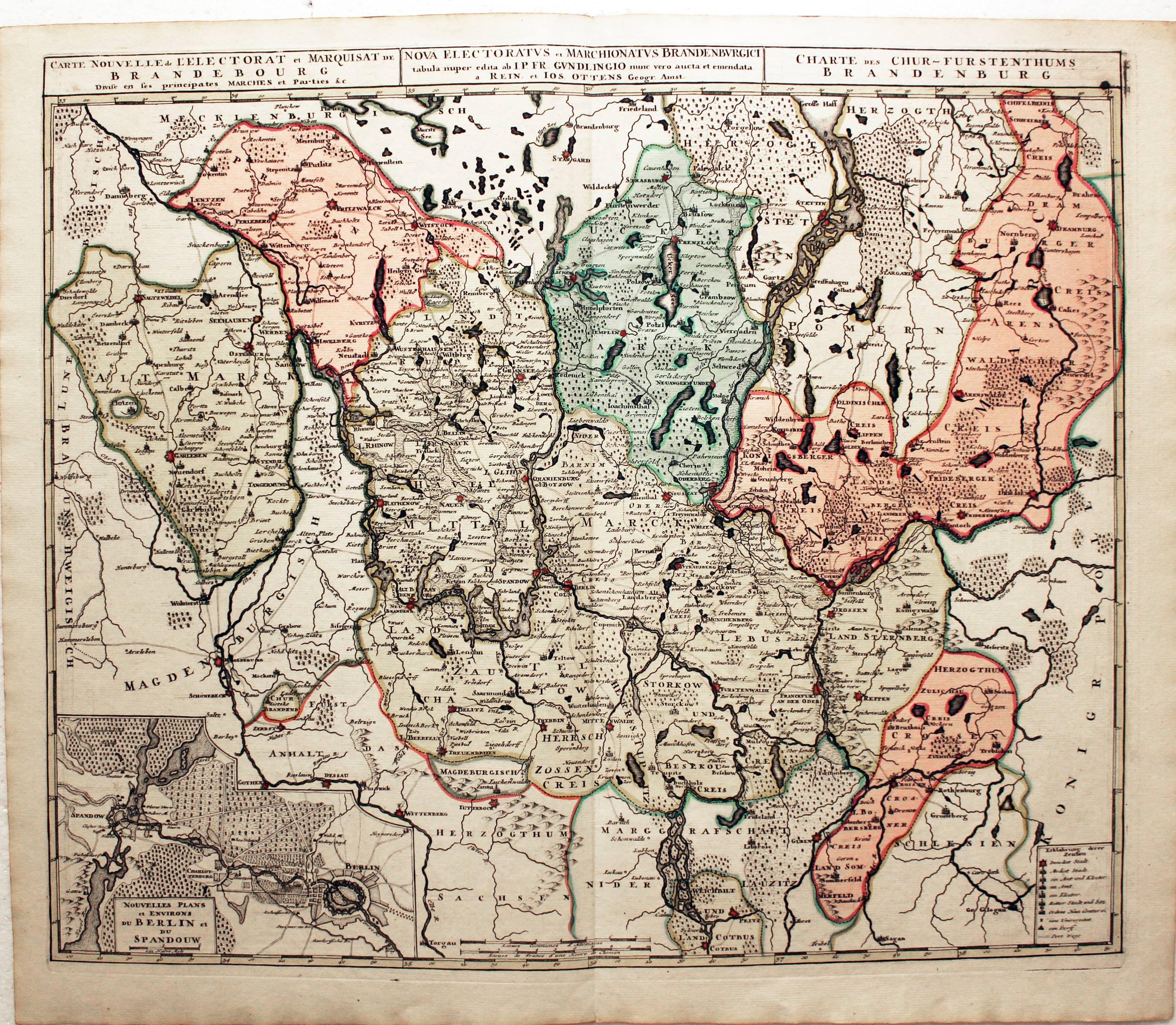
Brandenburg, R. & J. Ottens, c.1740
15485 Brandenburg, R. & J. Ottens, c.1740. Price: 165.00
NOVA ELECTORATUS ET MARCHIONATUS BRANDENBURGICI...
A good engraved map centred on Berlin. Inset uncoloured plan of Berlin and Spandau. Three titles appear across the top of the map. 23 x 18.5 inches, 590 x 470 mm. Original outline and wash colouring. Fine condition.
From: Atlas Minor by Reiner and Josua Ottens
HESSE
17th Century
-

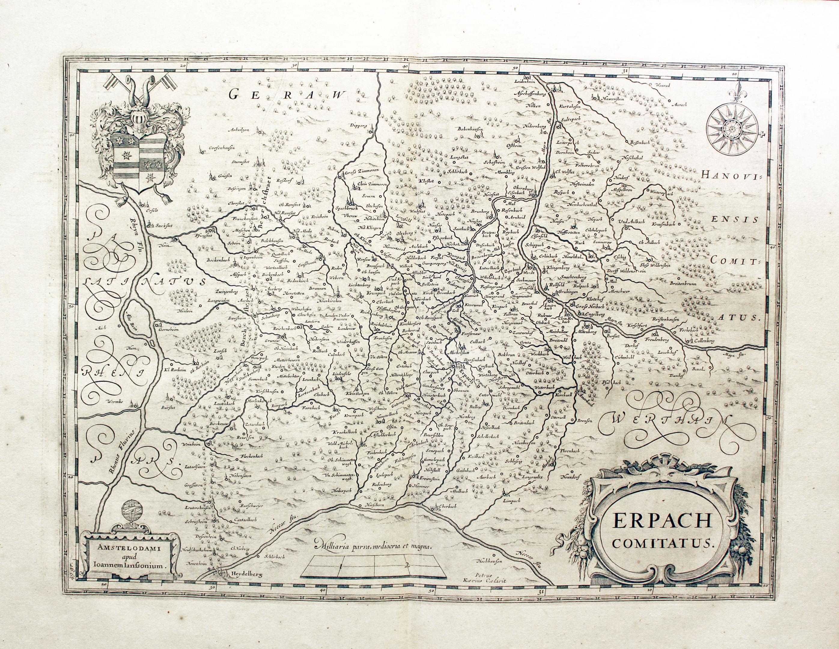
Erpach, Jan Jansson, 1649
25590 Erpach, Jan Jansson, 1649. Price: 140.00
ERPACH Comitatus
An engraved map centred on the town of Erpach and showing part of the River Rhine and River Main with the towns of Gensheim, Worms, Miltenberg and Oldenburg. The map extends as far south as Heidelberg. Two decorative cartouches displaying the title and imprint of Jansson. Coat of arms and compass rose. Dutch text on verso. 18 1/2 x 14 inches, 480 x 360 m. Uncoloured. Fine condition.
17th Century
-

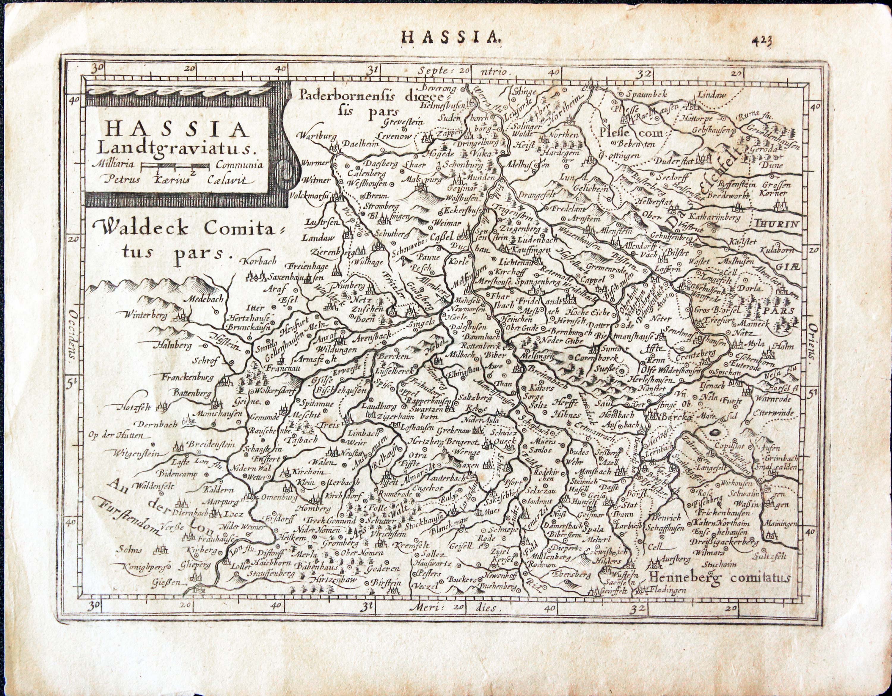
Hessen, Mercator Jansson c.1635
31233 Hesse, Mercator/Jansson, c.1635. Price: 45.00
HASSIA LANDTGRAVIATUS
A small early engraved map of Hessen. The title and name of the engraver Pieter van den Keere appears within a decorative. 7 1/2 x 5 1/2 inches. Latin text on verso. Good condition.
From: Atlas Minor
17th Century
-

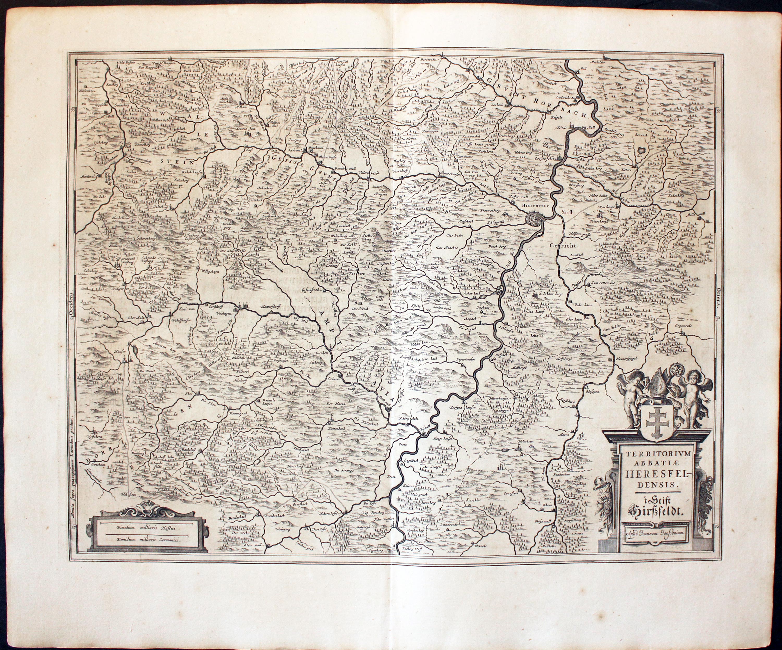
Bad Hersfeld, Hesse Germany Jan Jansson 1647
32026 Bad Hersfeld, Jan Jansson, c.1647. Price: 130.00
TERRITORIUM ABBATIAE HEREDFELDENSIS
A detailed engraved 17th century map of the region including the showing Bad Hersfeld on the banks of the River Fuld. Embellished with two decorative cartouche displaying the title and two scales. 19 1/2 x 15 1/4 inches. Uncoloured. Centre fold as published. Dutch text on verso. Good condition with wide blank margins. Straight from the atlas and not previously been offered for sale as a single map.
From Nieuwen Atlas, Ofte Weerelt-Beschrijvinghe
16th Century
-
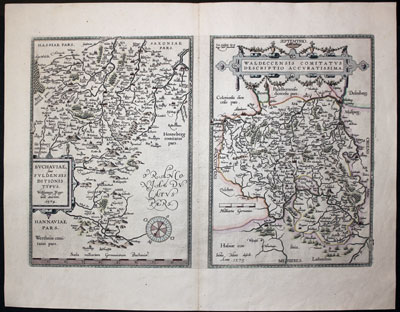
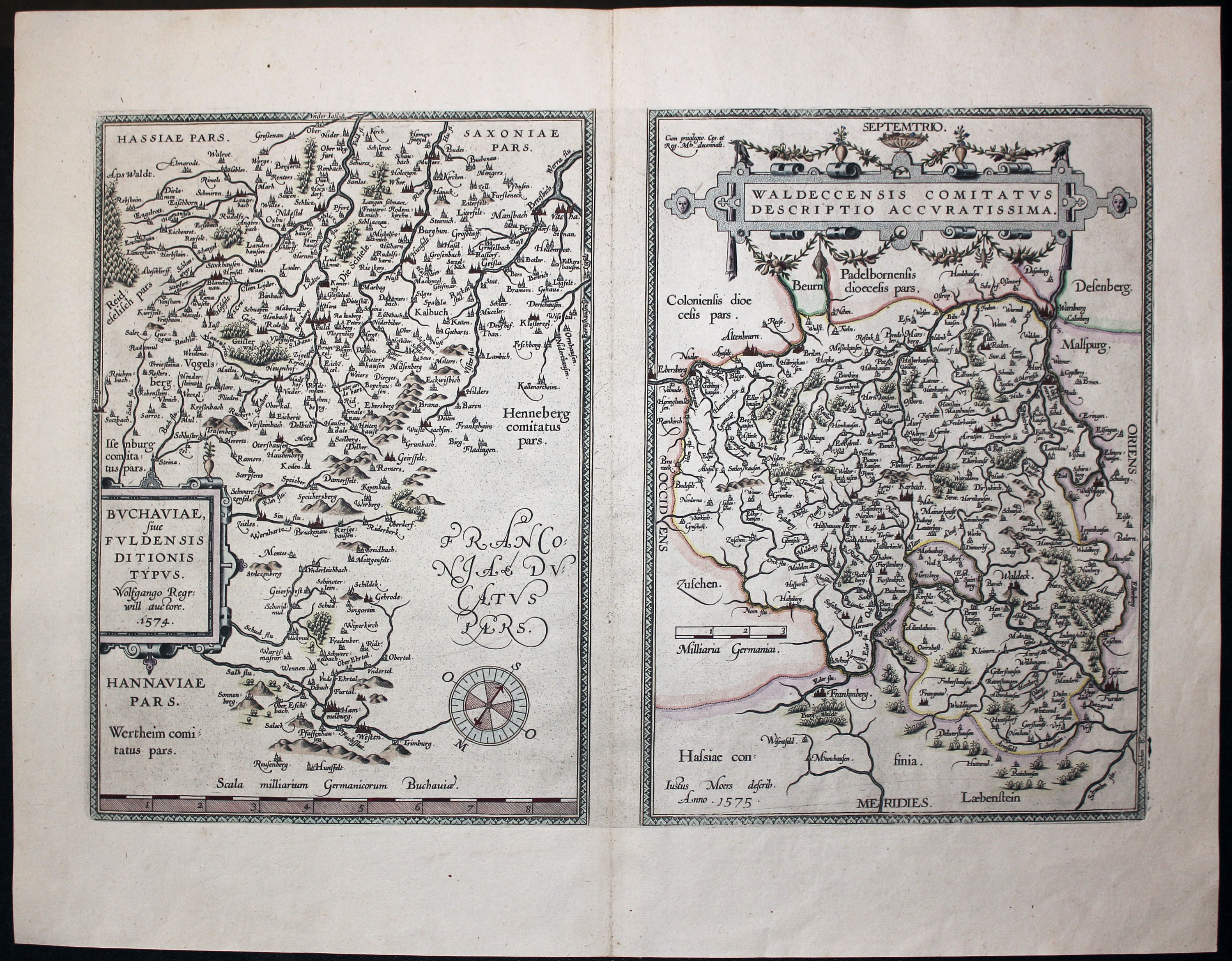
Fulda and Waldeck, Abraham Ortelis c.1595
-

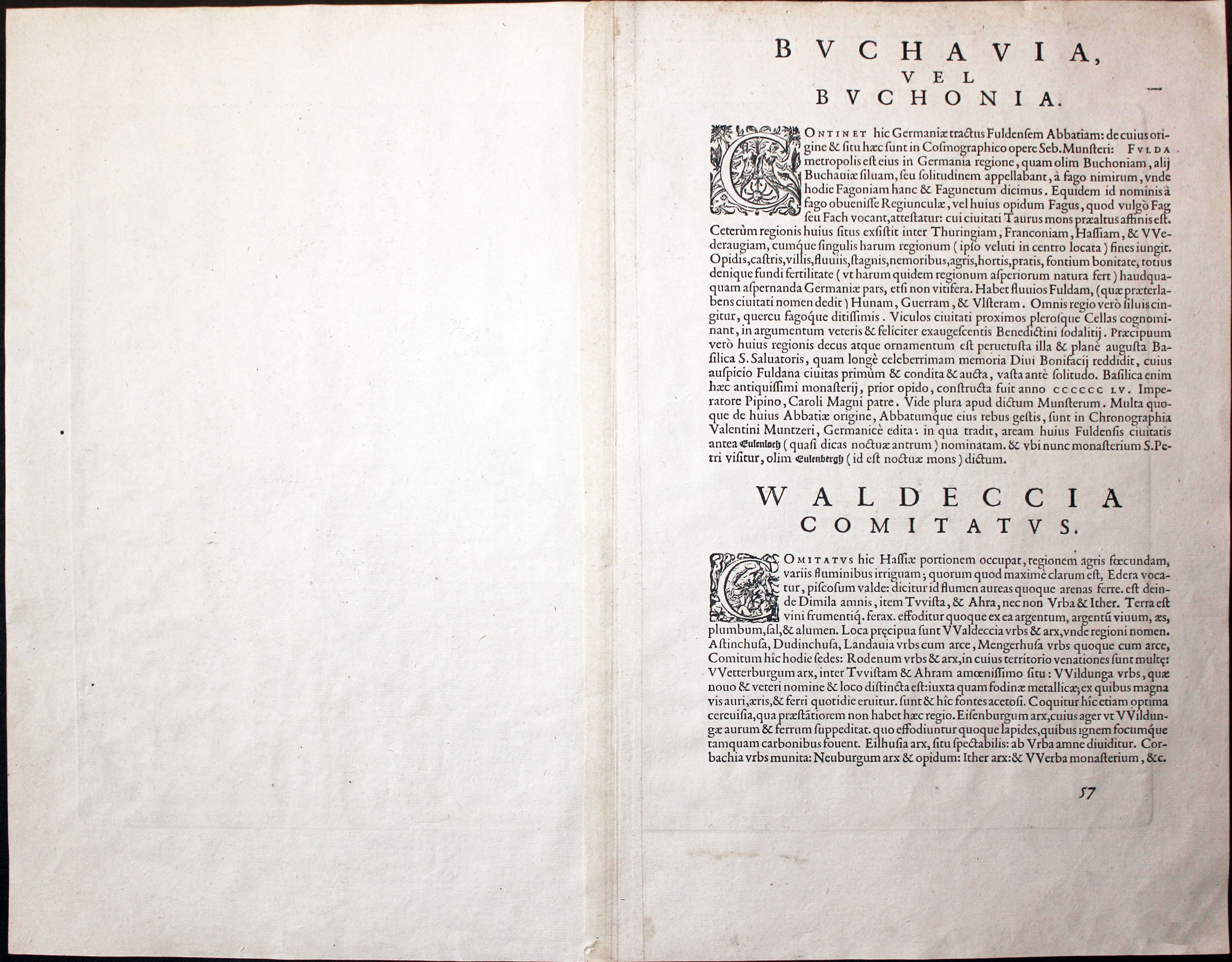
Latin Text on Fulda and Waldeck, Abraham Ortelis c.1595
32272 Fula and Waldeck, Abraham Ortelius c.1585. Price: 160.00
BUCHAVIAE, SIVE FULDENSIS DITIONIS TYPUS / WALDECCENSIS COMITATUS DESCRIPTIO ACCURATISSIMA
Two engraved maps on one sheet. The left hand side map is centred on the city of Fulda The decorative title panel bears an attribition to Wolfgang Regerwyl and is dated 1574. The right hand side map is of the Duchy of shows the area around Waldeck, Korbach, Warburg and Frankenburg. The title is displayed within a decorative strapwork cartouche. Each map measures 8 3/4 x 12 1/4 inches. Attractive hand colouring. Original centre fold. Good clean undamaged condition. Latin text on verso.
From: Orbis Terrarum
18th Century - Early Hand Colouring
-
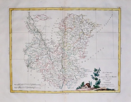
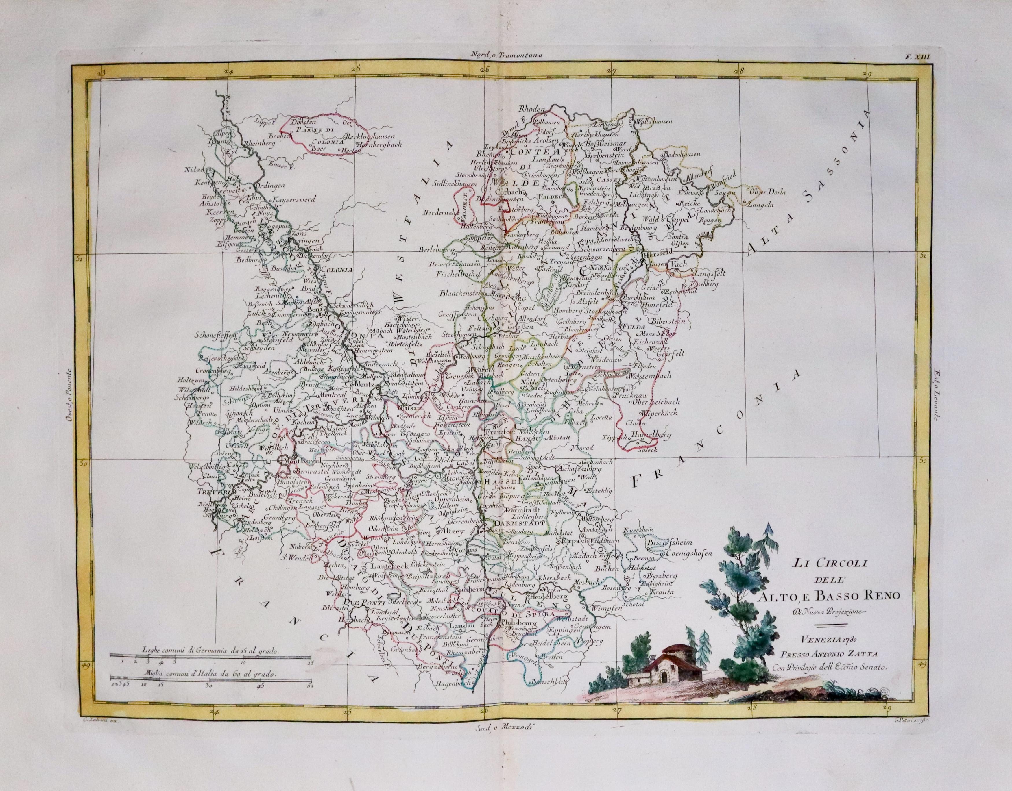
South West Germany including Darmstadt
33473 South West Germany, Antonio Zatta, c.1777. Price: 49.00
LI CIRCOLI DELL’ ALTO BASSO RENO....... VENEZIA 1780
An detailed engraved 18th century map including Darmstadt and Heidelberg embellished with a pictorial title cartouche. 15 3/4 x 12 1/4 inches. Original centre fold. Nice clean specimen on crisp paper. This maps has come straight from the atlas and not previously sold as a single map.
From: Atlante Novissimo
