ANTIQUE MAPS of FRANCE
1800 ONWARDS
Richard Nicholson of Chester
A World of Antique Maps and Prints
Established in 1961
All the Maps on this page are guaranteed to be genuine early specimens
pubished in or around the year stated
19th Century - Early Hand Colouring
-
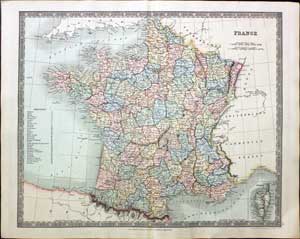
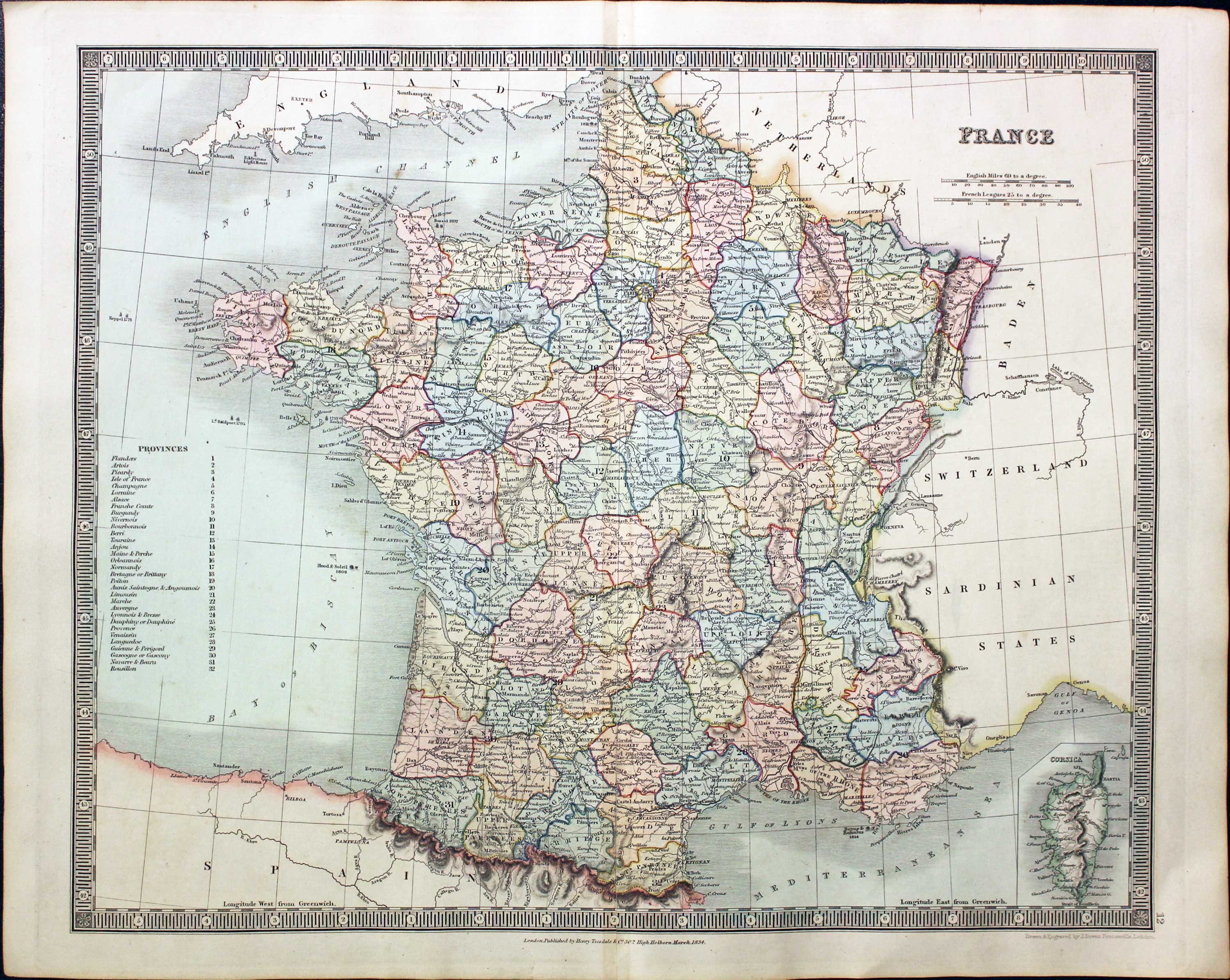
France, John Dower, 1834
25625 France, John Dower, 1834. Price: 28.00
FRANCE
An engraved map within a simple patterned border. 16 x 13 inches. Original outline and wash hand colouring. Fine condition. Paper watermarked J. Whatman 1834. Imprint of the publisher Henry Teesdale at 302 High Holborn, London.
From: A New General Atlas of the World
19th Century - Early Hand Colouring
-
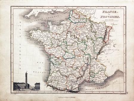
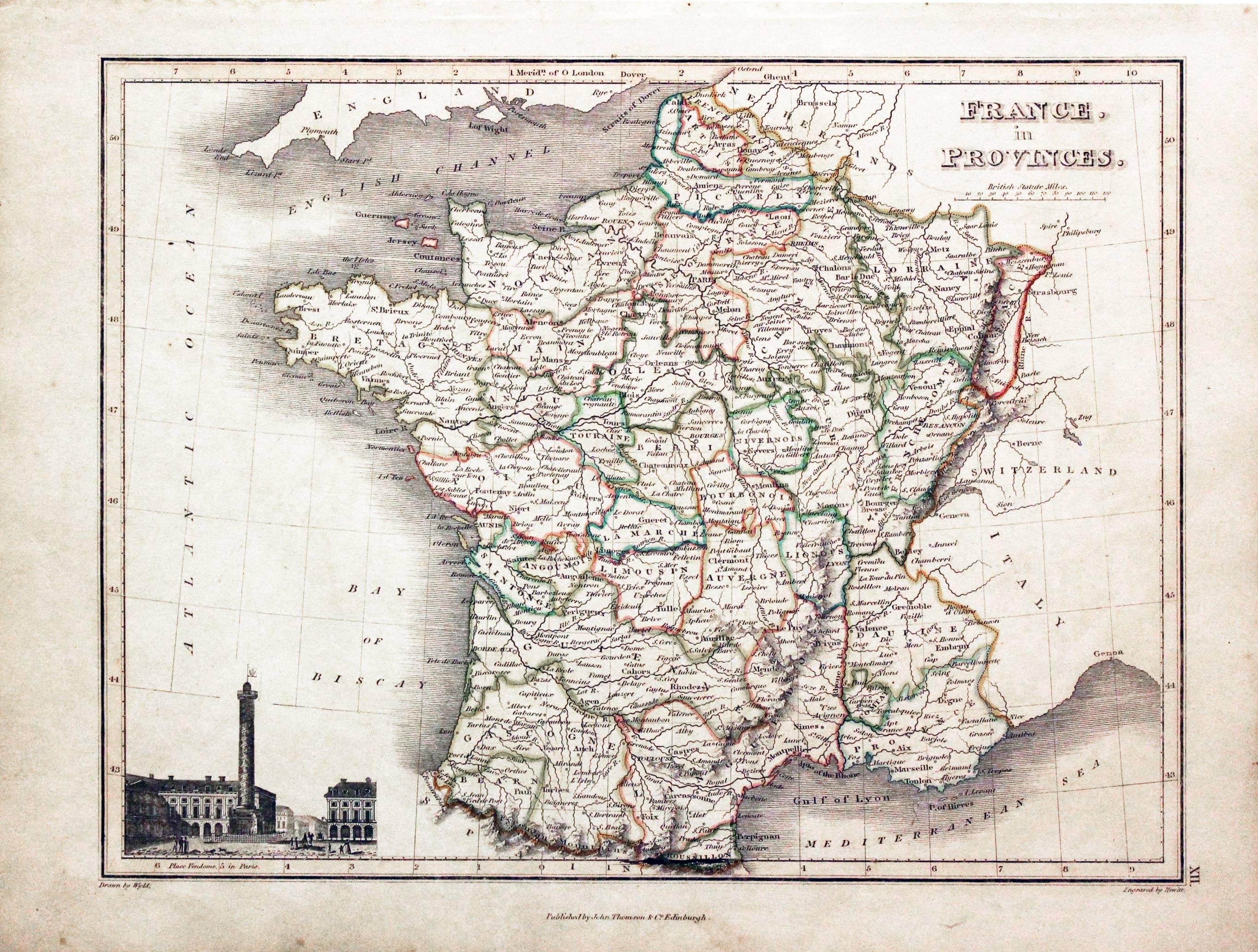
France, John Thomson, c.1820
29553 France, John Thomson, c.1820. Price: 25.00
FRANCE IN PROVINCES
Drawn by Wyld. An engraved map of the country Hewitt. Embellished with an uncoloured vignette view of Plas Vendome, Paris. Imprint of the publisher beneath. 11 1/2 x 8 3/4 inches. Original outline hand colouring. Good condition.
19th Century - Early Hand Colouring
-

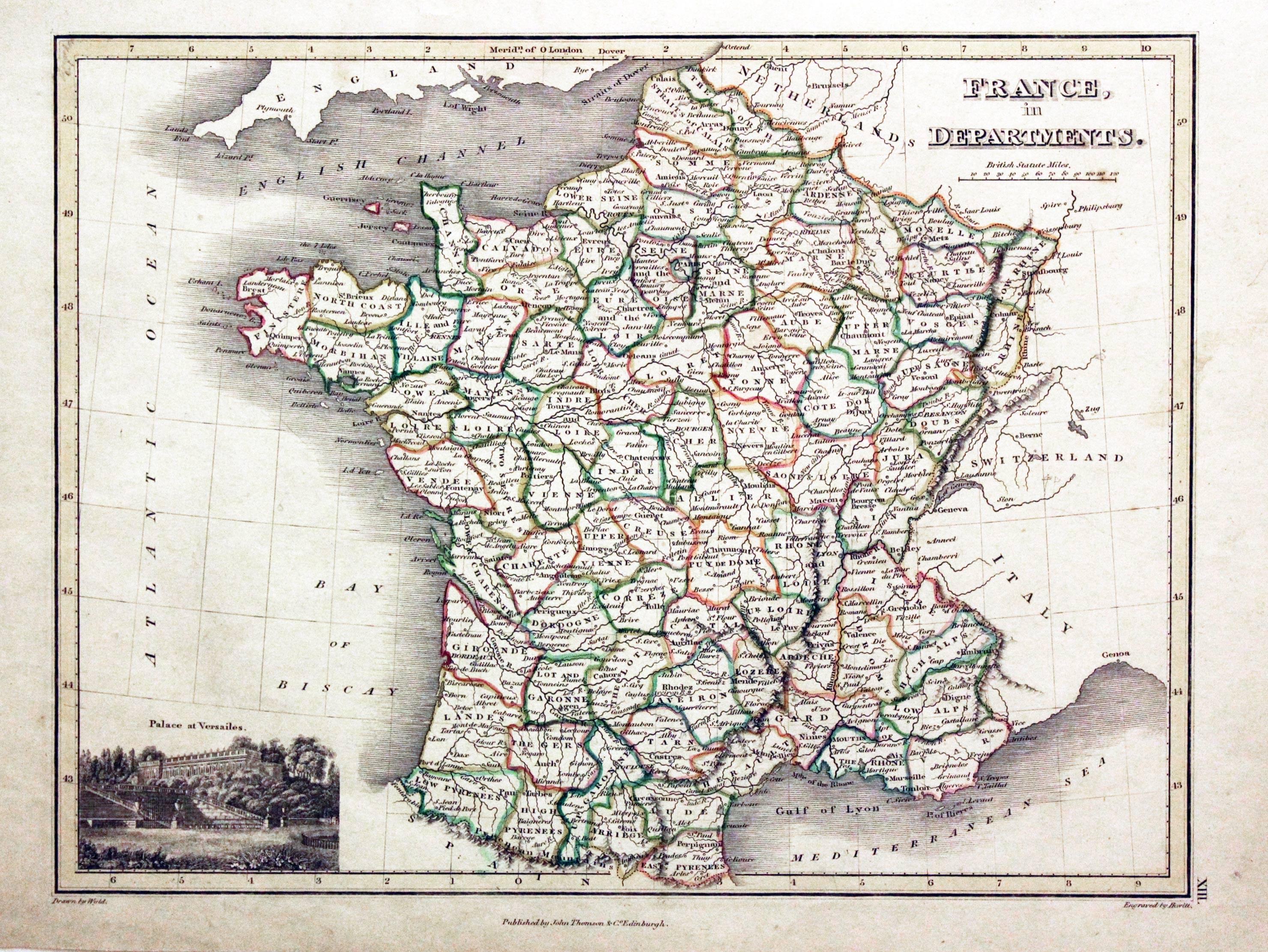
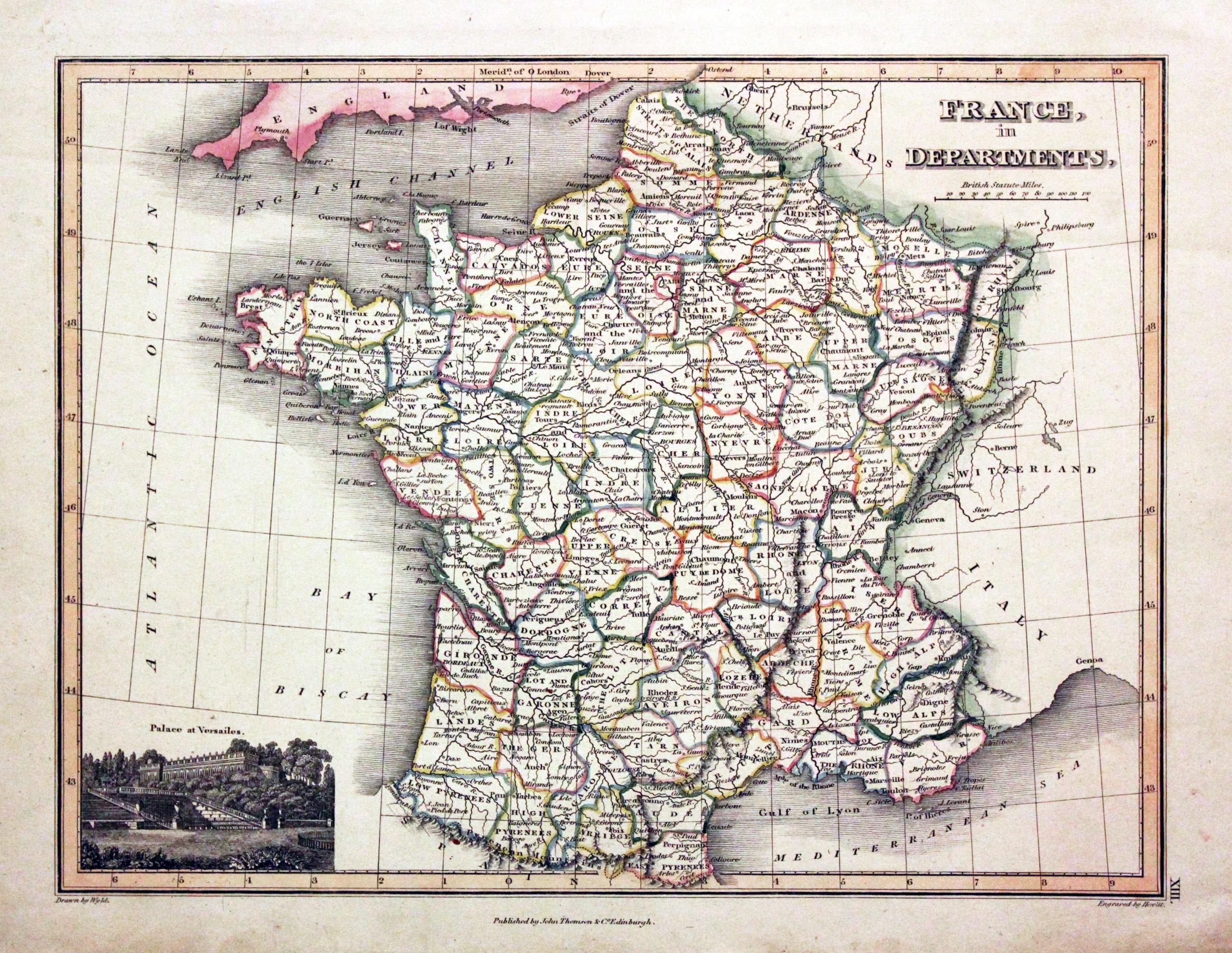
France, John Thomson, c.1820
29554 France, John Thomson, c.1820. Price: 25.00
FRANCE IN DEPARTMENTS
Drawn by Wyld. An engraved map of the country Hewitt. Embellished with an uncoloured vignette view of the Palace of Versailles. Imprint of the publisher beneath. 11 1/2 x 8 3/4 inches. Original outline hand colouring. Good condition.
19th Century - Early Hand Colouring
-

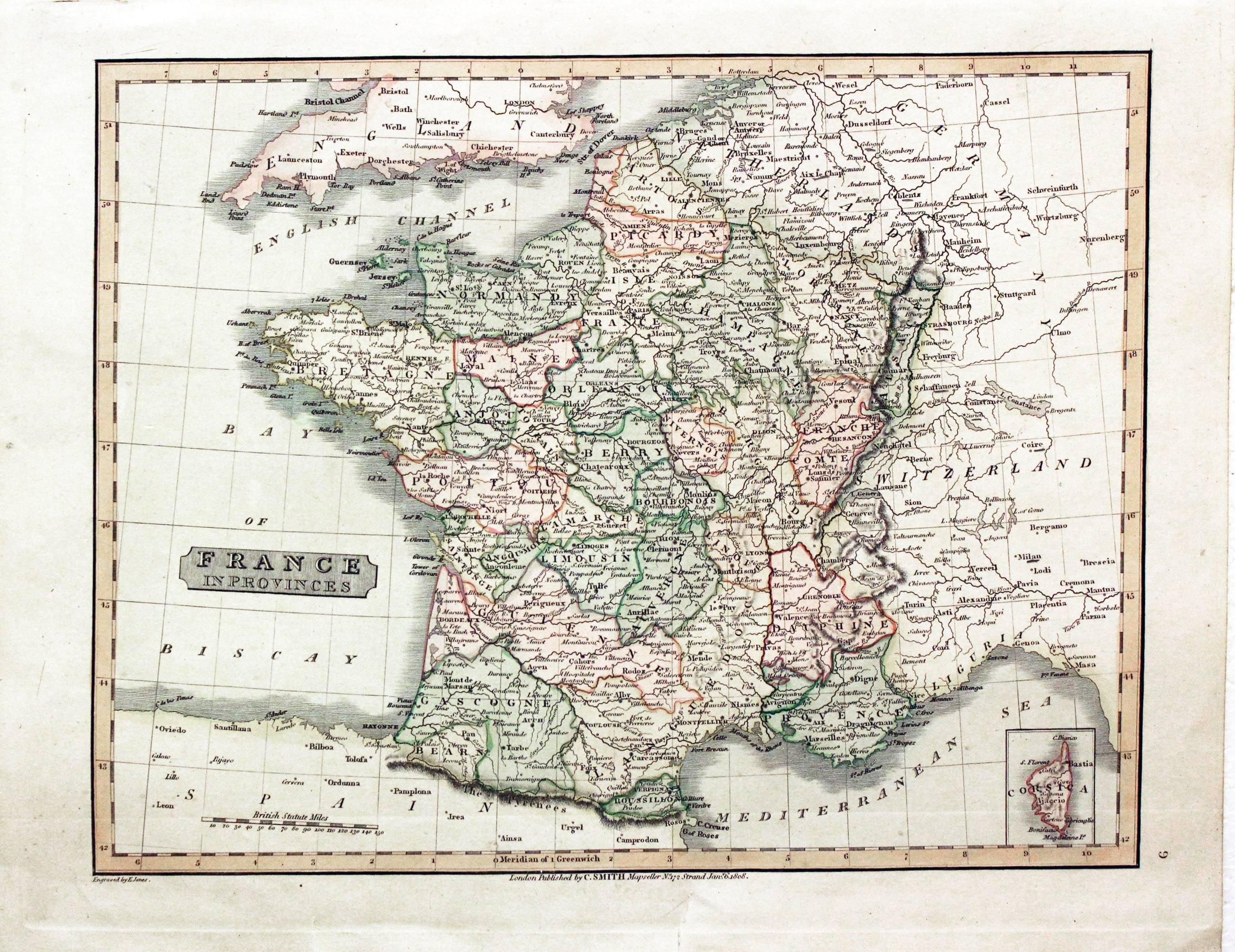
France, Charles Smith, 1808
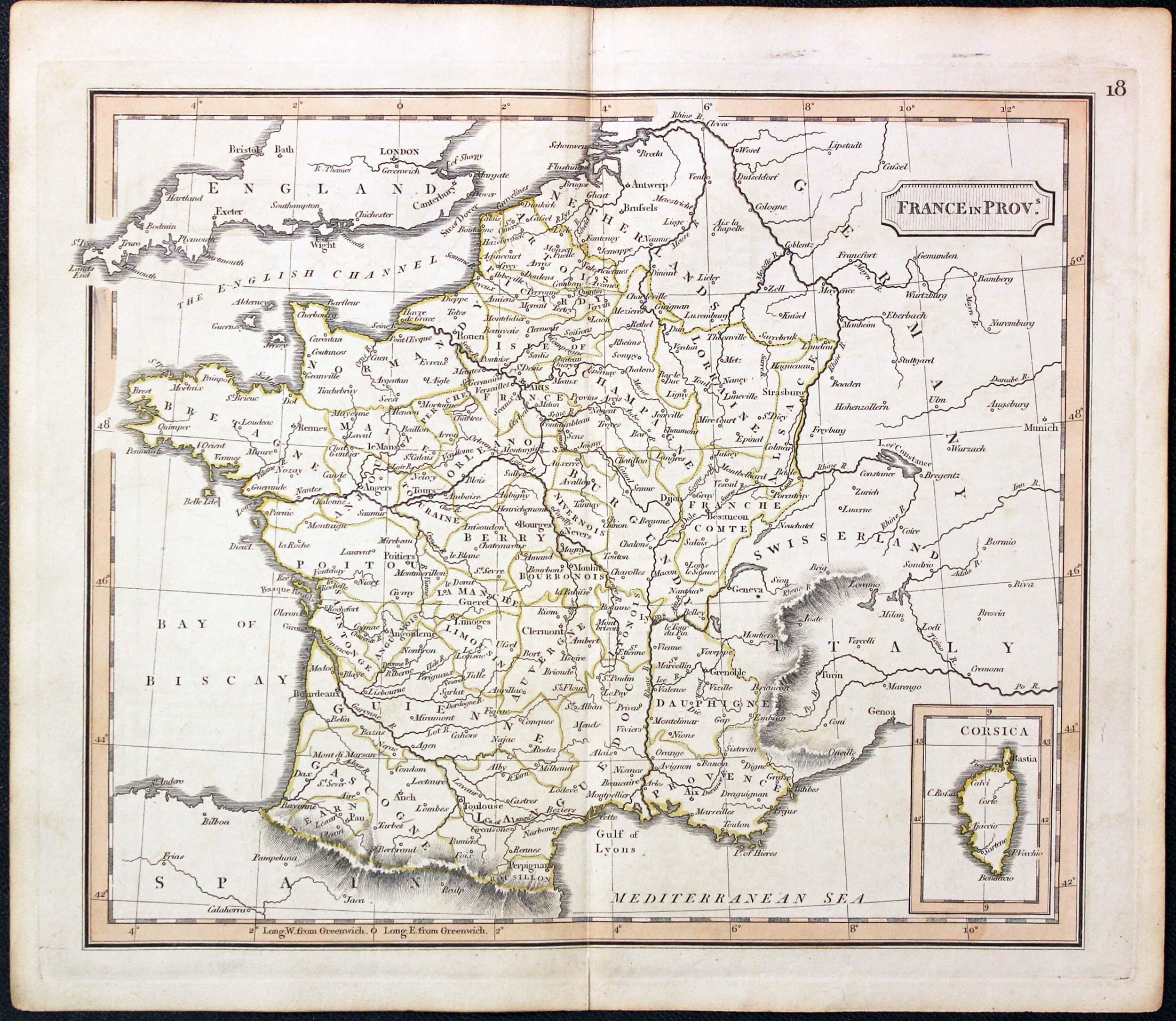
29561 France, Charles Smith, 1808. Price: 26.00
FRANCE IN PROVINCES
An engraved map of the whole country with a small inset map of Corsica. Title panel. Publisher's imprint date 1808. 131/4 x 10 1/4 inches. Original outline and wash colouring. Two small tears in the bottom blank margin otherwise the condition is very good.
From: New General Atlas
19th Century - Early Hand Colouring
-

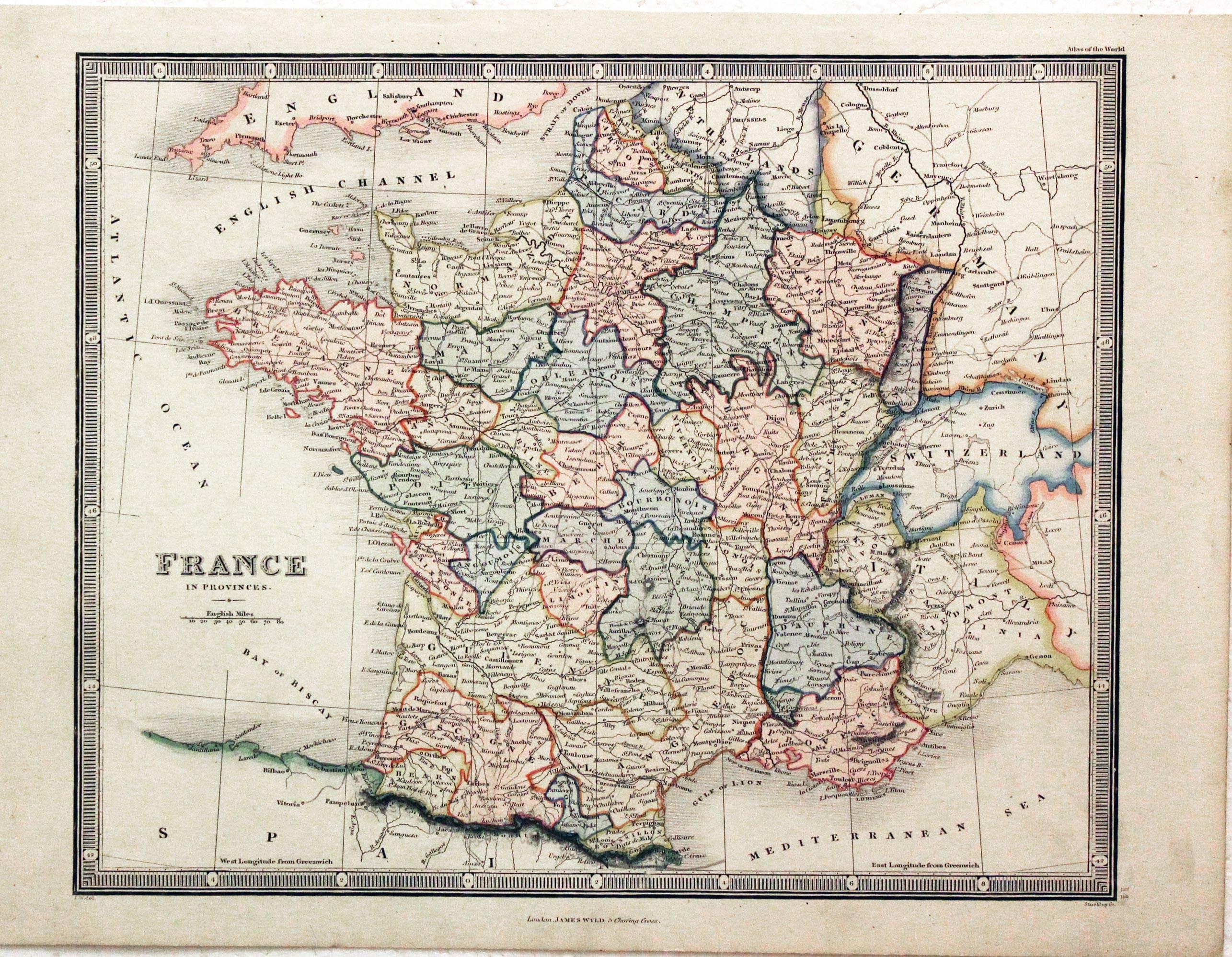
France, James Wyld, 1850
29562 France, James Wyld, 1850. Price: 24.00
FRANCE IN PROVINCES
An engraved map of the whole country. 10 3/4 x 8 3/4 inches. Attractive original outline and was hand colouring. Good stout paper. Good condition.
19th Century - Early Hand Colouring
-
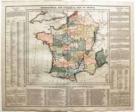
France, C. V. Lavoisne, 1830
29664 France, C. V. Lavoisne, 1830. Price: 30.00
MAP OF FRANCE DIVIDED INTO GOVERNMENTS INDICATING THE PLACES RENDERED CELEBRATED BY BATTLES OR SIEGES INTENDED FOR THE ELUCIDATION OF LAVOISNE’S ATLAS BY C. GROS REVISED 1828
An engraved map of France surrounded on three sides by interesting tables concerning, divisions, coins, weights, battles, natural history and Measures. 20 1/2 x 16 1/2. Original wash hand colouring. Good clean condition.
From: Lavoisne’s Complete Genealogical, Historical, Chronological, and Geographical Atlas. The fourth edition printed and published by J. Barfield in London
19th Century - Early Hand Colouring
-

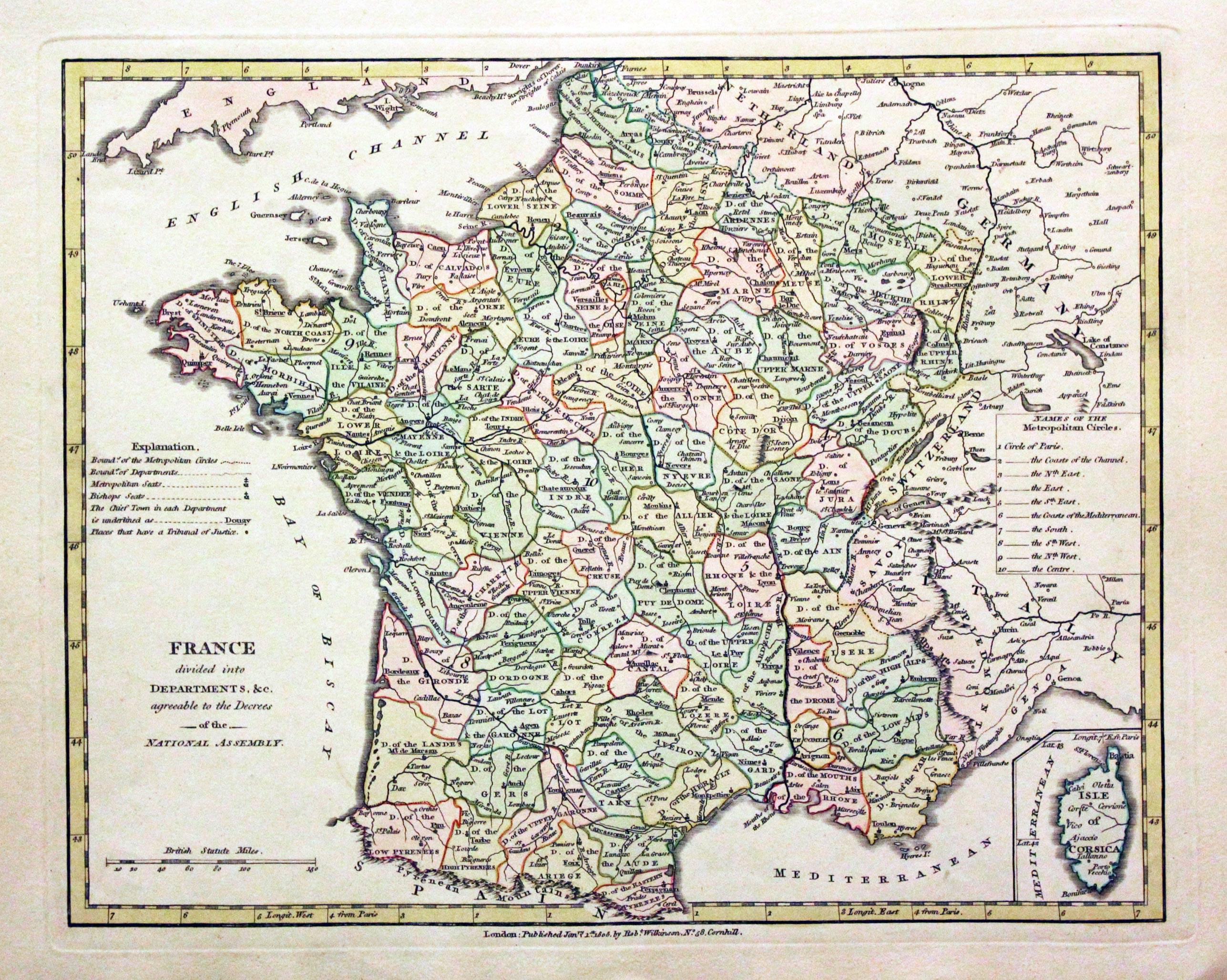
France, Robert Wilkinson, 1805
29713 France, Robert Wilkinson, 1805. Price: 38.00
FRANCE DIVIDED INTO DEPARTMENTS, &C. AGREEABLE TO THE DECREES OF THE NATIONAL ASSEMBLY
A map of France engraved by Thomas Conder. The imprint of the published Robert Wilkinson appears beneath the map dated 1805. 11 1/4 x 8 3/4 inches. Original outline and wash hand colouring. Good stout paper. Good clean condition with no repairs. A nice specimen.
From: A General Atlas being A Collection of Maps of the World and Quarters the Principal Empires, Kingdoms &c, with their several Provinces & other Subdivisions, Correctly Delineated
19th Century - Early Hand Colouring
-

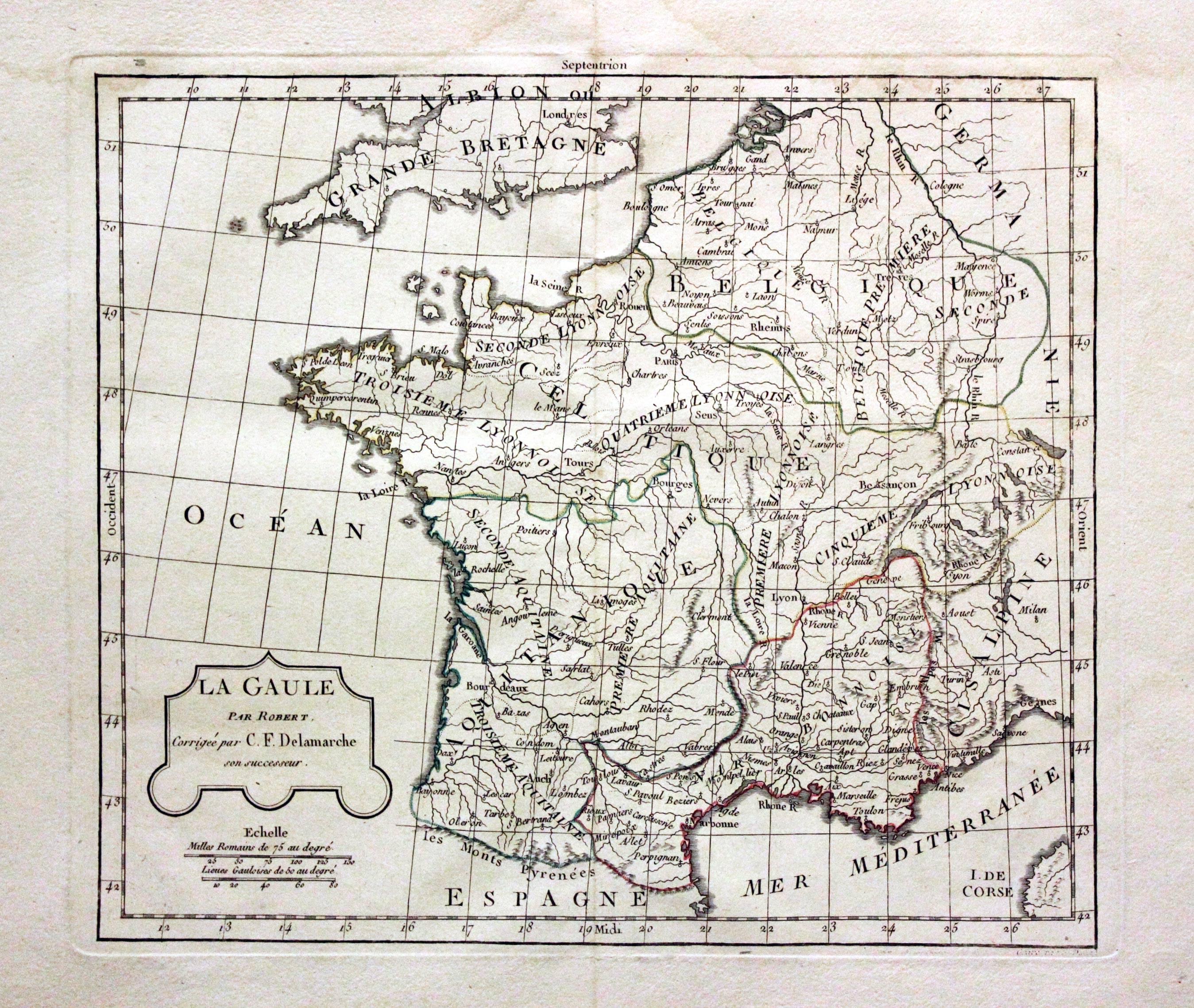
Ancient France, Robert de Vaugondy / Charles Francois Delamarche, 1812
29721 Ancient France, Robert de Vaugondy / Charles Francois Delamarche, 1812. Price: 24.00
LA GAULE PAR ROBERT CORRIGEE PAR C. F. DELAMARCHE SON SUCCESSEUR
An engraved map of Ancient France. 11 x 9 1/2 inches. Original outline hand colouring. Some light water staining in the top blank margin otherwise good condition. Wide blank margins.
19th Century - Early Hand Colouring
-

France, John Thomson, c.1820
29733 France, John Thomson, c.1820. Price: 26.00
FRANCE IN DEPARTMENTS
Drawn by Wyld. An engraved map of the country Hewitt. Embellished with an uncoloured vignette view of the Palace of Versailes. Imprint of the publisher beneath. 11 1/2 x 8 3/4 inches. Original outline hand colouring. Good condition.
From: A New General Atlas
19th Century - Early Hand Colouring
-

France, James Wyld, c.1850
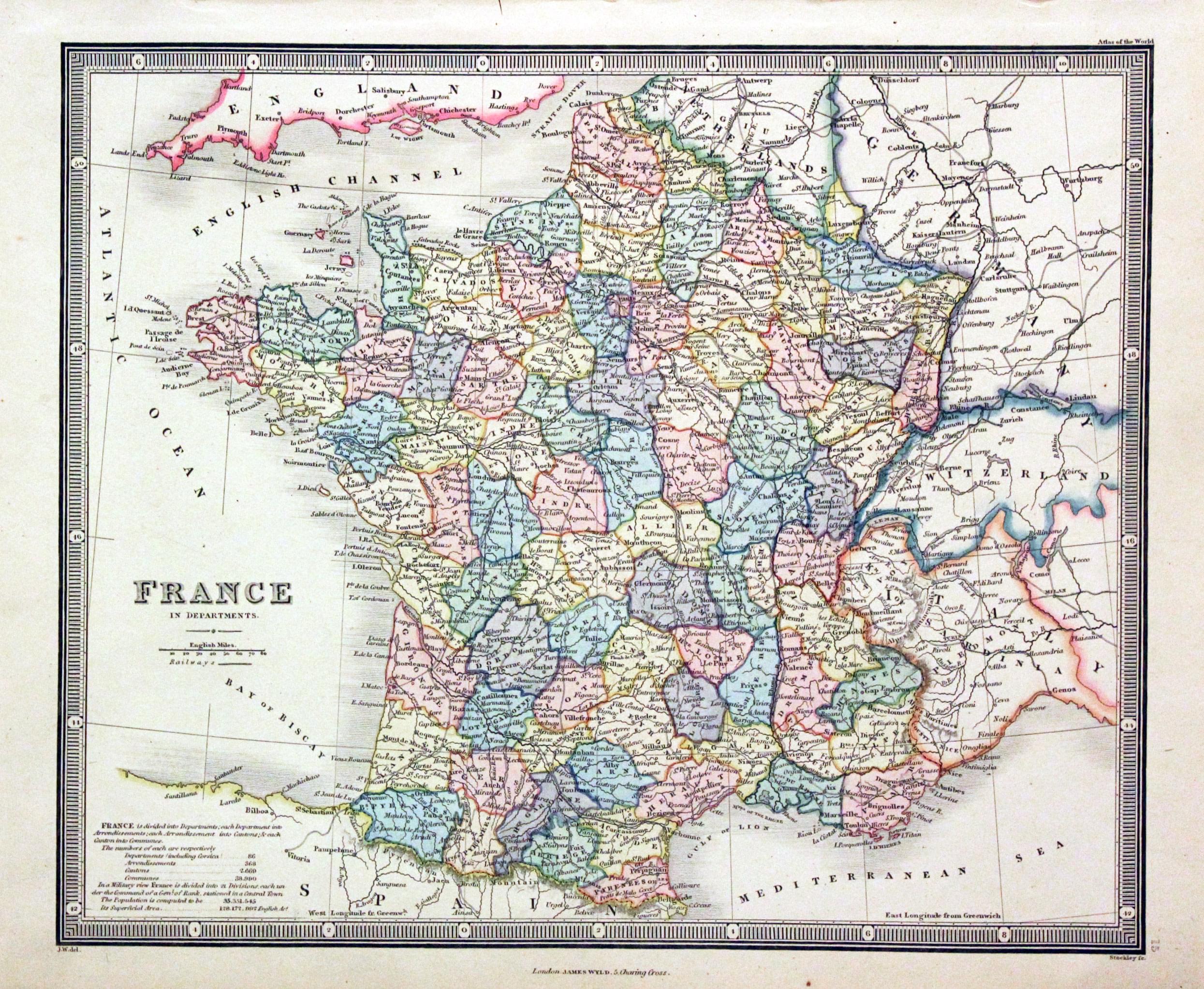
29734 France, James Wyld, c.1850. Price: 25.00
FRANCE IN DEPARTMENTS
An engraved map of the whole country. 10 3/4 x 8 3/4 inches. Attractive original outline and was hand colouring. Good stout paper. Good condition.
19th Century - Early Hand Colouring
-
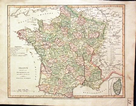
France, Robert Wilkinson, 1805
30624 France, Robert Wilkinson, 1805. Price: 27.00
FRANCE DIVIDED INTO DEPARTMENTS, &C. AGREEABLE TO THE DECREES OF THE NATIONAL ASSEMBLY
A map of France engraved by Thomas Conder. The imprint of the published Robert Wilkinson appears beneath the map dated 1805. 11 1/4 x 8 3/4 inches. Original outline and wash hand colouring. Manuscript map number 28 in bottom right hand corner. A little very light soiling but otherwise good condition with with no repairs.
From: A General Atlas being A Collection of Maps of the World and Quarters the Principal Empires, Kingdoms &c, with their several Provinces & other Subdivisions, Correctly Delineated
19th Century - Early Hand Colouring
-
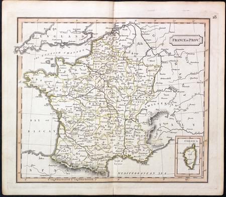
France, Unknown, c.1820
31224 France, Unknown, c.1820. Price: 20.00
FRANCE IN PROVS
An engraved map of the whole country showing the provinces. Sorry but I am unable to give the name of the cartographer. 8 3/4 x 7 1/2 inches. Original outline colouring. Very small slit at the bottom of the centre fold otherwise good condition.
19th Century - Early Hand Colouring
-

France, Rest Fenner, c.1835
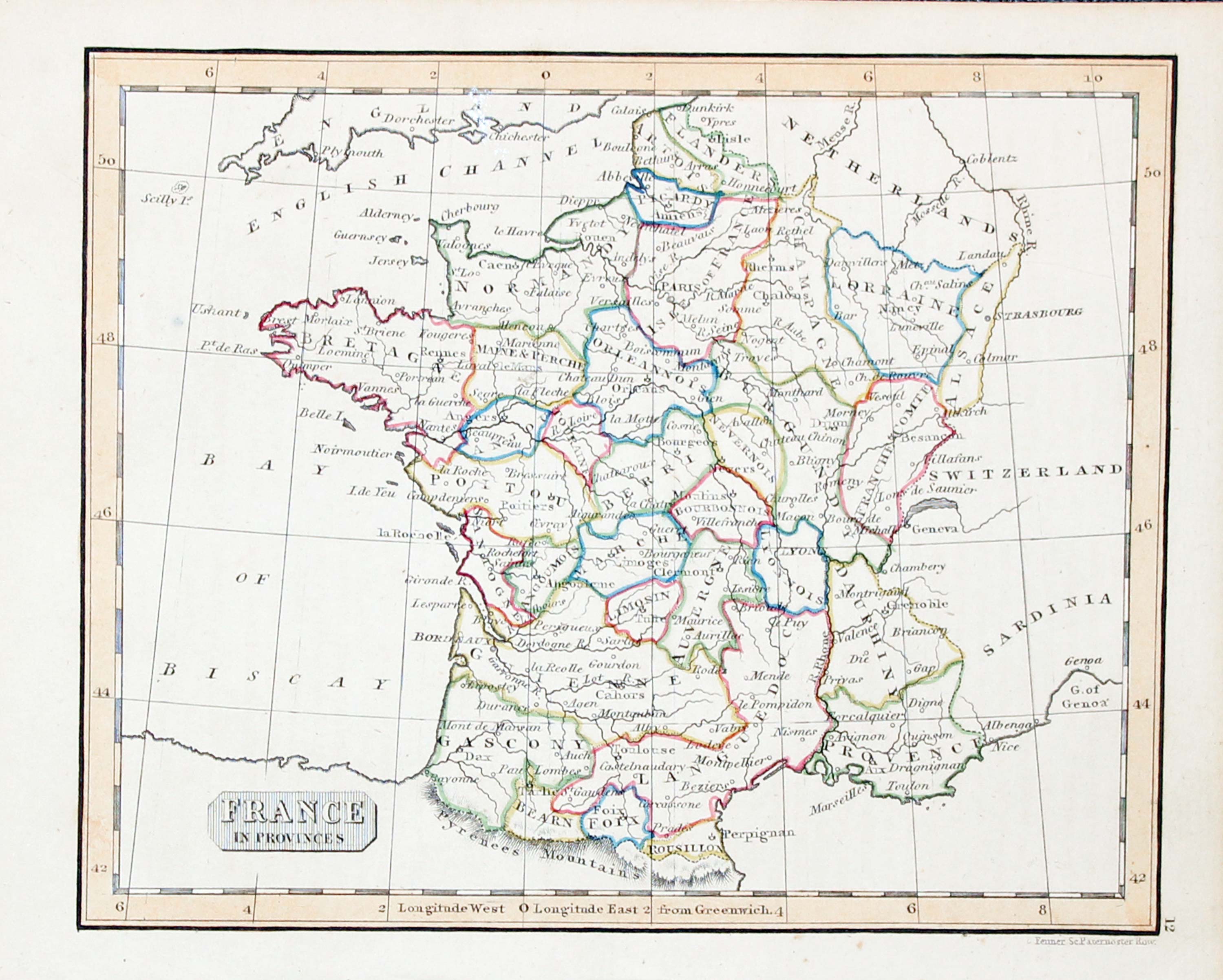
31230 France, Rest Fenner, c.1835. Price: 14.00
FRANCE IN PROVINCES
A small map of the whole of France divided into provinces. Engraved by Rest Fenner who worker in Paternoster Row, London. 5 3/4 x 4 1/2 inches. Original outline hand colouring. Good condition.
19th Century - Early Hand Colouring
-

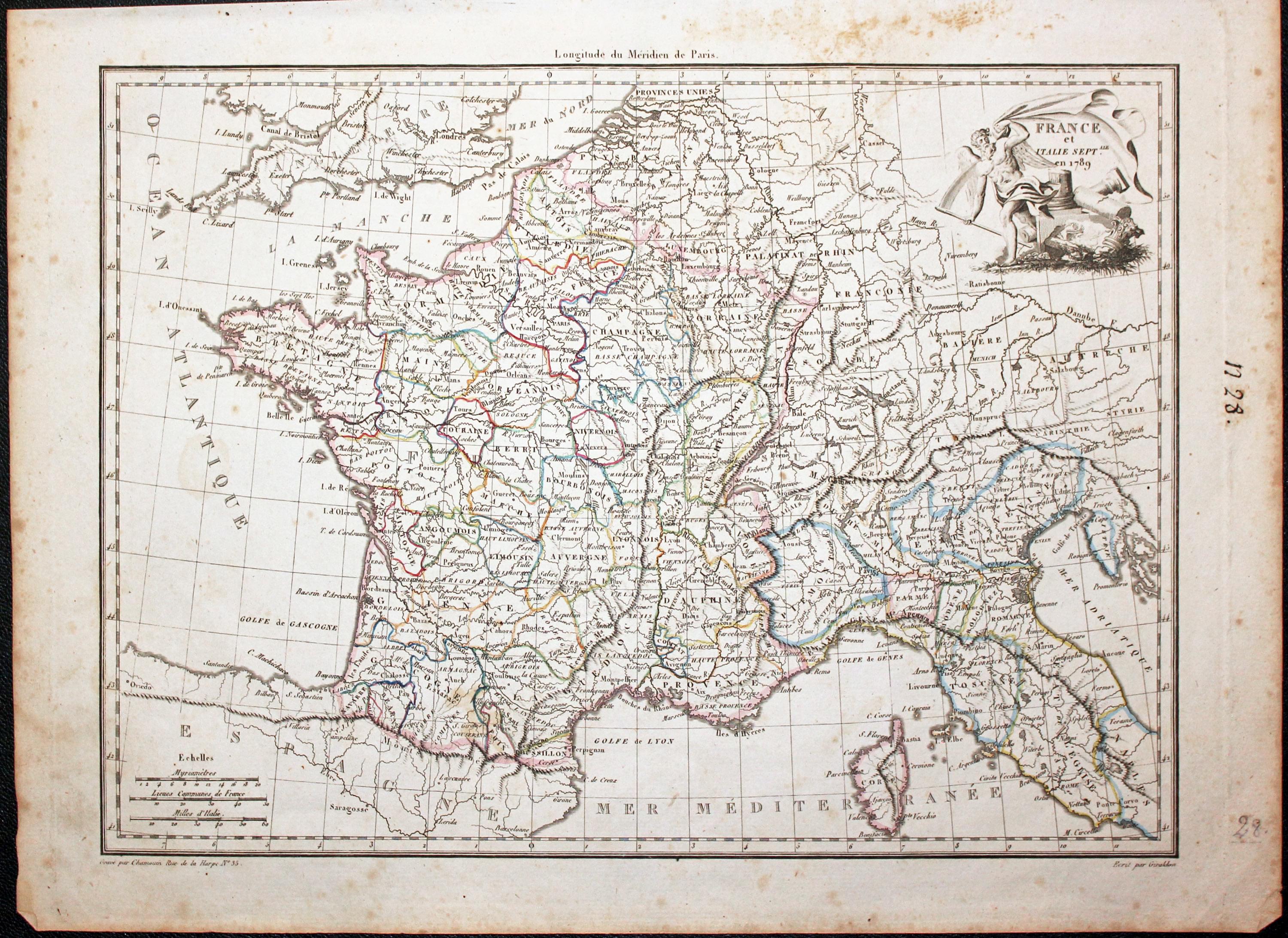
France, Conrad Malte-Brun, 1829
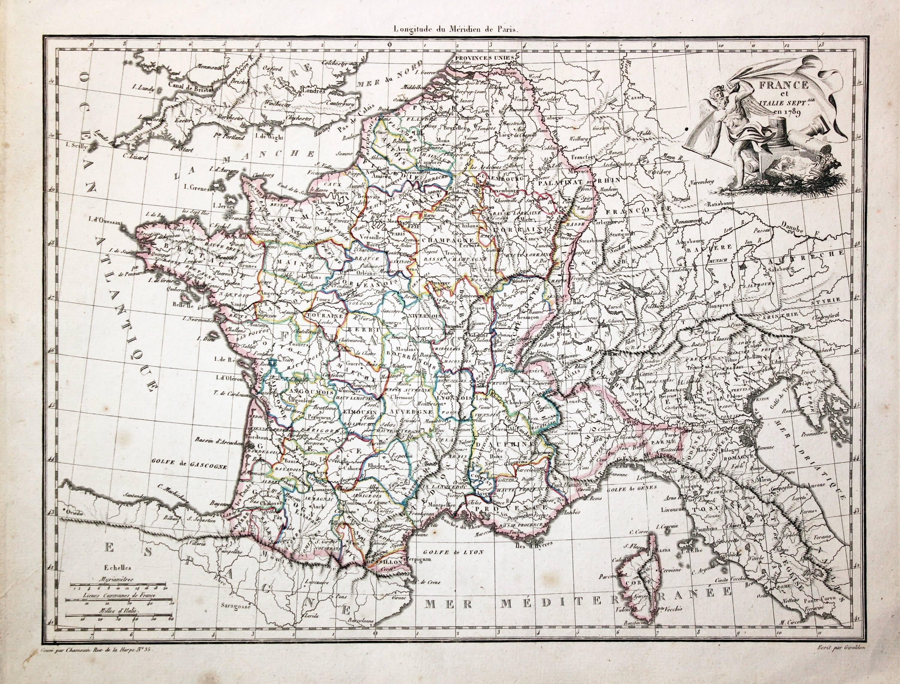
31635 France, Conrad Malte-Brun, 1829. Price: 27.00
FRANCE ET ITALIE SEPTALE. EN 1789
An engraved map of France and northern Italy. Uncoloured title cartouche showing a winged male figure with banner. 11 3/4 x 8 1/2 inches. Two small light brown marks but otherwise good condition. Original outline hand colouring.
From: Atlas Complet du Precis de la Geographie Universelle...
19th Century - Early Hand Colouring
-

France & Switzerland, Malte-Brun 1837
32314 France and North Italy, Conrad Malte-Brun, 1812. Price: 27.00
FRANCE ET ITALIE SEPTALE. EN 1789
An engraved map of France and northern Italy. Uncoloured title cartouche showing a winged male figure with banner. 11 3/4 x 8 1/2 inches. Manuscript “N 28 “ in the blank margin. Some light foxing in the margins, otherwise good condition. Original outline hand colouring.
From: Atlas Complet du Precis de la Geographie Universelle...
19th Century - Early Hand Colouring
-
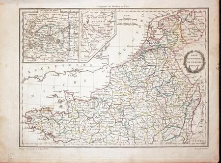
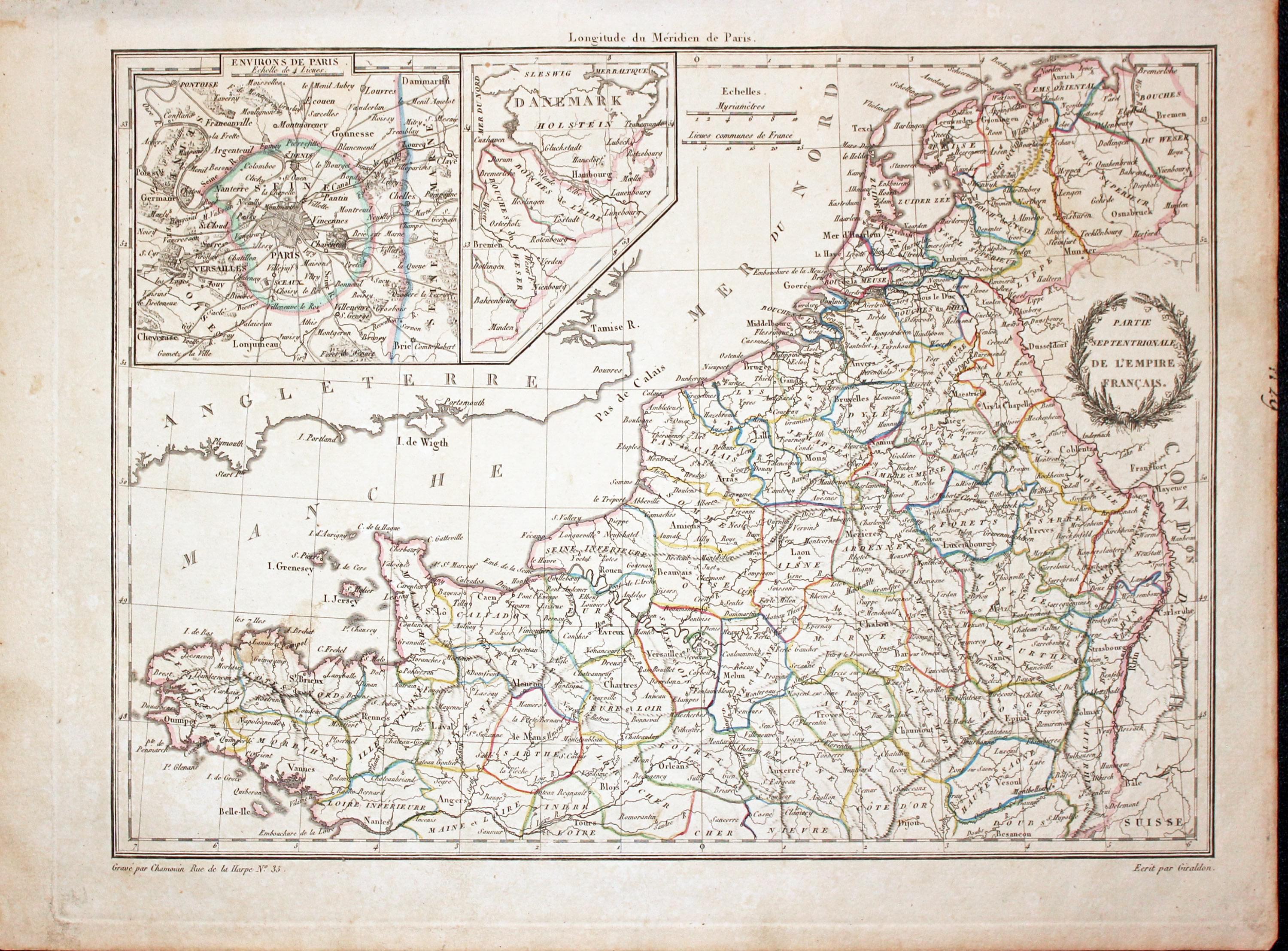
North West France, Conrad Malte-Brun, 1812
32315 North West France, Conrad Malte-Brun, 1812. Price: 30.00
PARTIE SEPTENTRIONALE DE L'EMPIRE FRANCAIS
A detailed map of France north of Nantes and Tours with the Netherlands. Map continues to Hamburg in an inset. Another anset map shows the environs of Paris. Title shown within two branches of leaves. 11 3/4 x 8 1/2 inches. Original outline hand colouring. Good condition.
From: Atlas Complet du Precis de la Geographie Universelle...
Early 19th Century
-
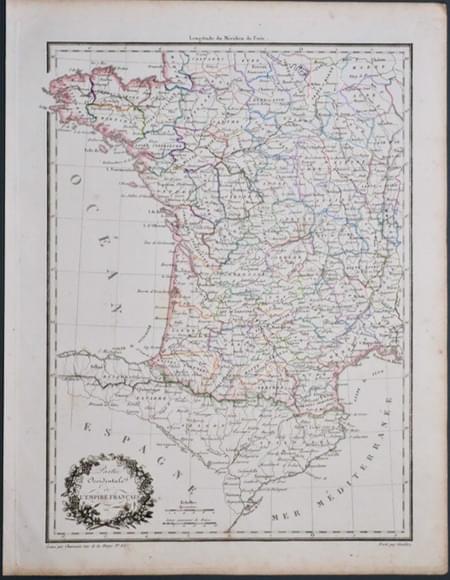
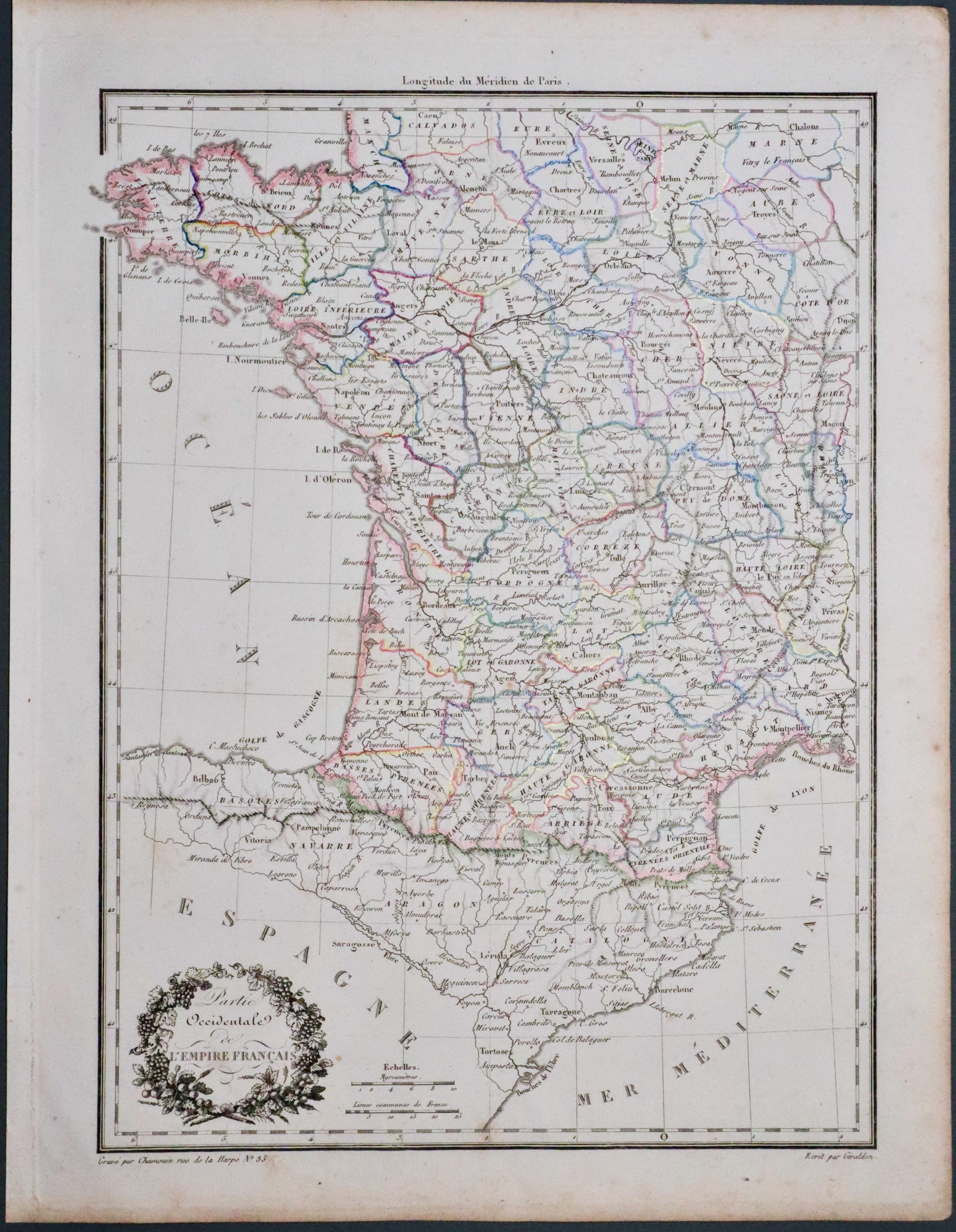
South West France, Conrad Malte Brun 1812
33530 South West France, Conrad Malte-Brun, 1812. Price: 30.00
PARTIE OCCIDENTALE DE L’EMPIRE FRANCAIS
An engraved map of South West France. Uncoloured title cartouche. Imprint of the engraver Jean-Baptiste-Marie Chamouin and Giraldon. 8 1/2 xx 3/4 inches, Original outline hand colouring. Good condition.
From: Precis de la Geographie universelle, ou description de toutes les parties du monde
Early Hand Colouring
-
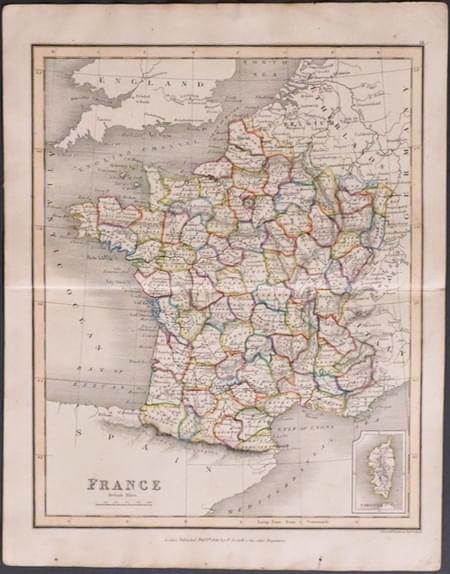
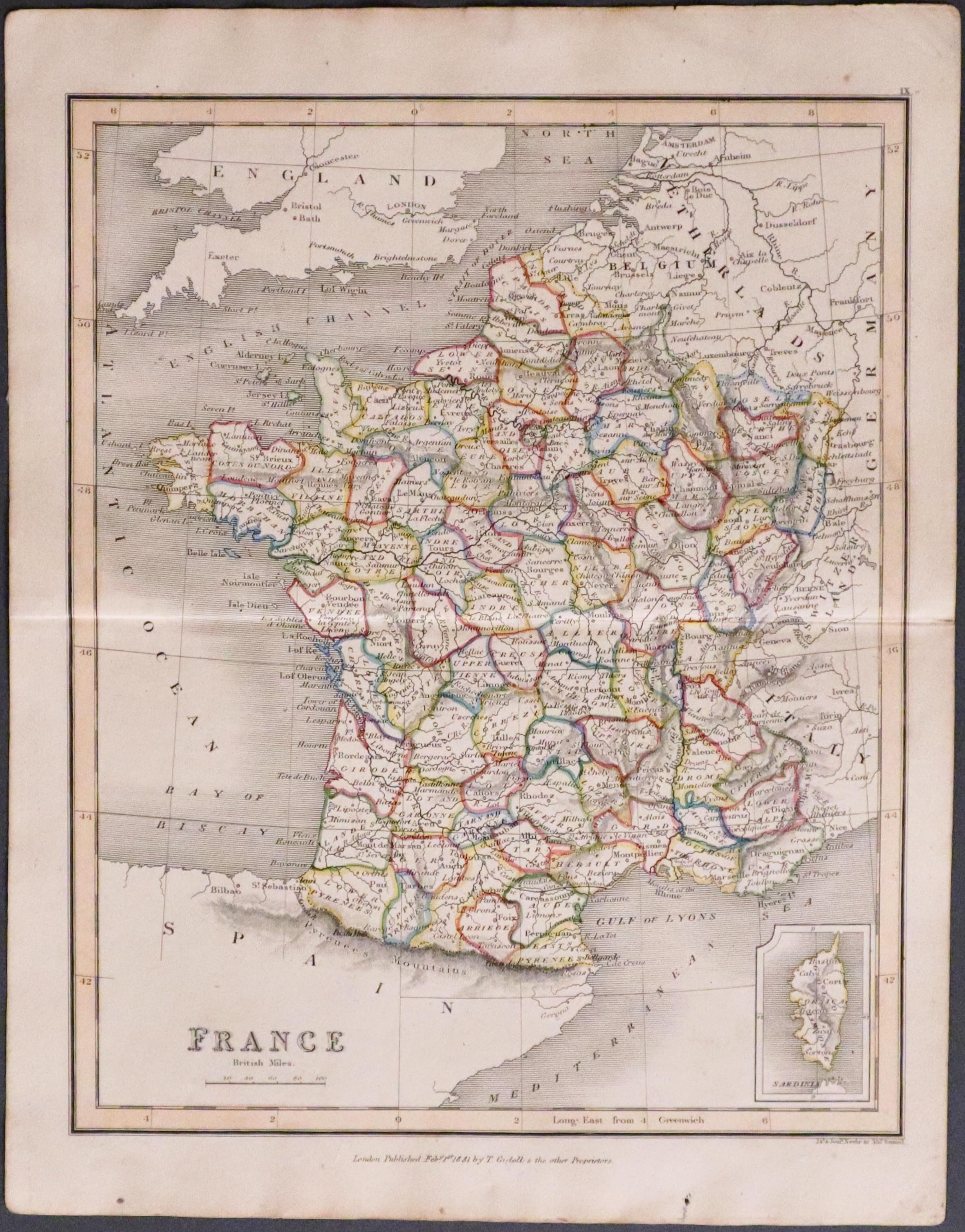
France by Janes and Josia Neele, 1817
33567 France, James & Josia Nelle, 1817. Price: 14,00
FRANCE
Engraved map of the whole of France with a small inset map of Corsica. 7 1/2 x 9 1/4 inches. Original outline hand colouring. Engraved by James and Josiah Neele. Imprin of the publisher T. Cadell beneath the map dated 1831. Original centre fold. Two small marks in the bottom blank margin otherwise good condition.
Before Napolean's Conquests
-
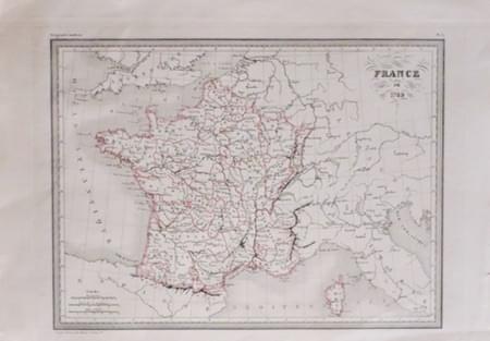
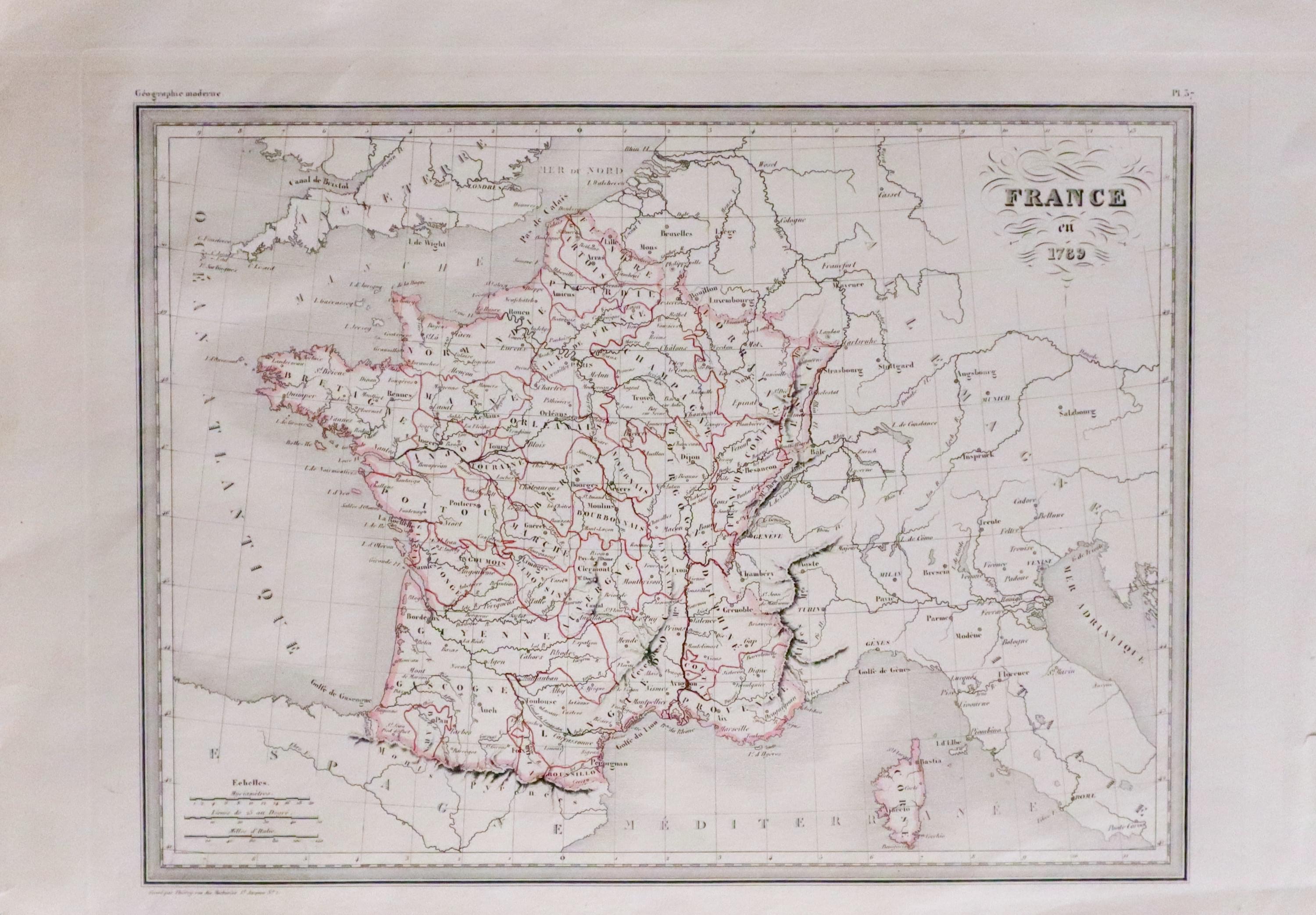
France in 1789, Conrad Malte-Brun c.1843
33568 France in 1789, Conrad Malte-Brun, c.1843. Price: 24.00
FRANCE in 1789
An engraved map of the whole country showing the whole of France depicting the French Empire before Napolean’s conquests. Original outline hand colouring. 12 x 8 3/4 inches. Good clean condition.
From: Precis de la Geographie Universelle
Early Hand Colouring
-
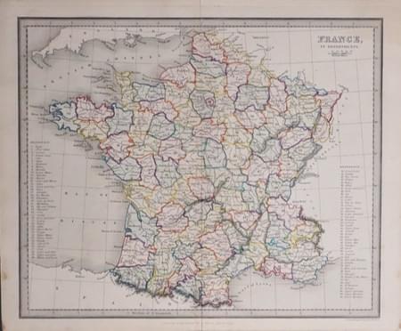
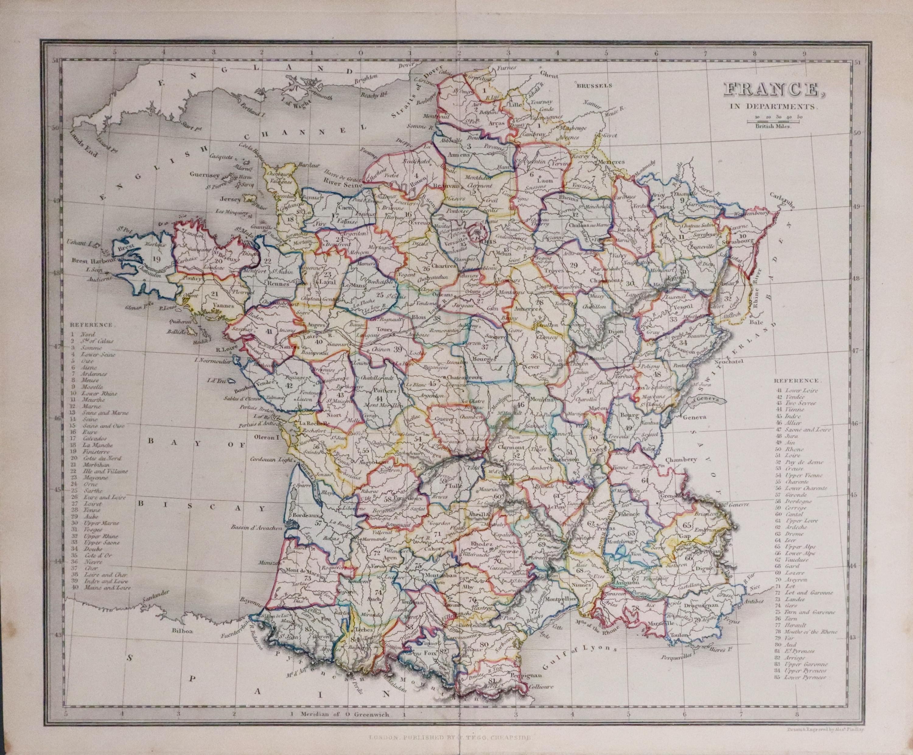
France in Departments, Alexander Findlay 1845
33570 France, Alexander Findlay, 1845. Price: 22.00
FRANCE IN DEPARTMENTS
An engraved map of the whole country showing the whole of France divided into Deparments, Scale. Two reference lists, one showing 40 places and the other 35 places of interest. Good original outline and wash and colouring. Original centre fold. Good condition.
From: Precis de la Geographie Universelle
Ancient Times
-
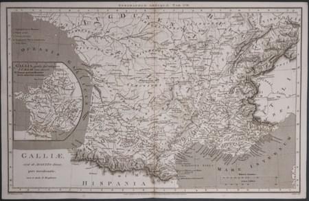
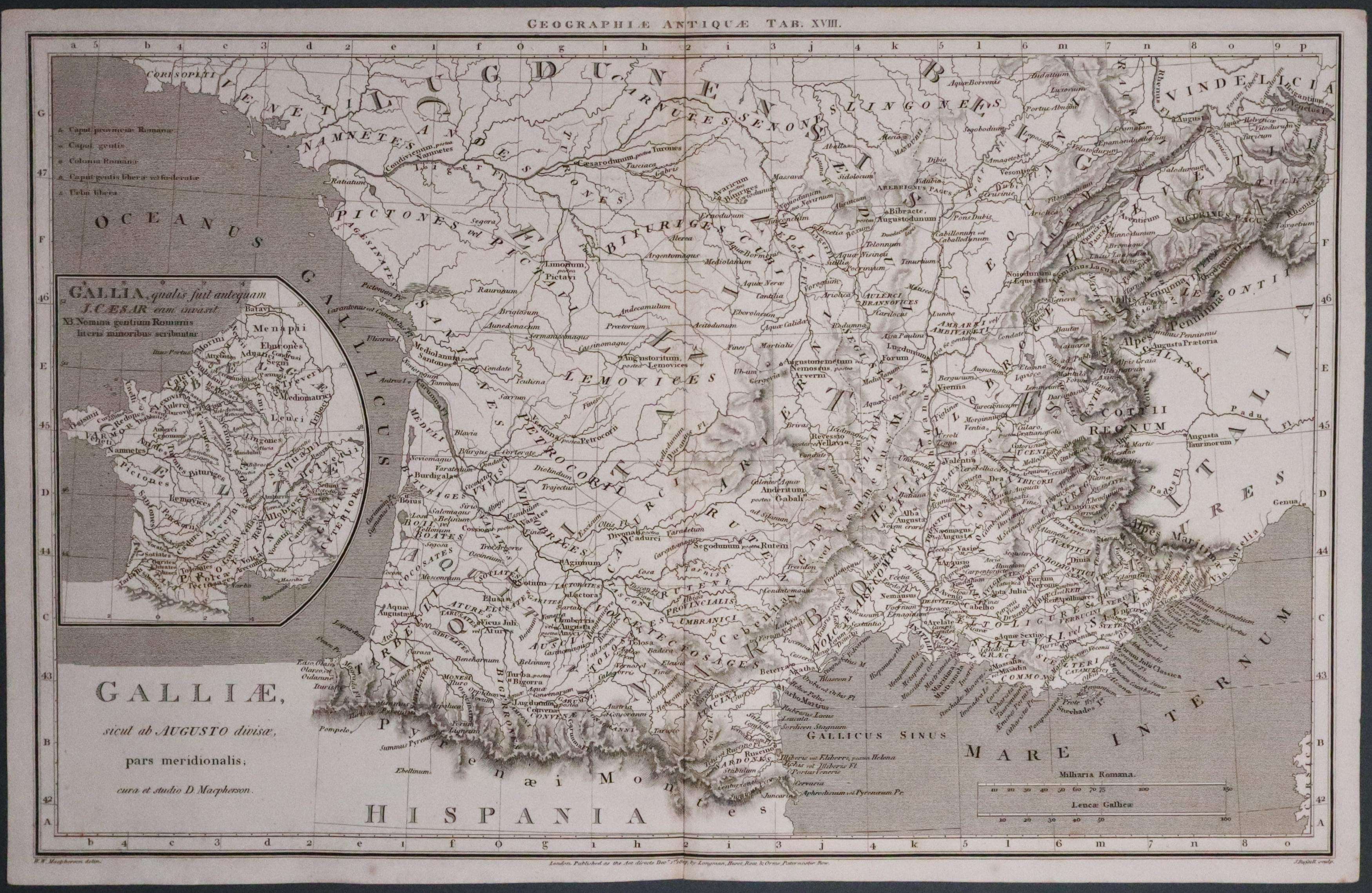
South of France in Ancient Times, W. W. Macpherson 1807
33571 South of France in Ancient Times, W. W. Macpherson, 1807. Price: 22.00
GALLIAE SICUT AB AUGUSTO DIVISAE PARS MERIDIONALIS
An interesting engraved map of south France in ancient times. The title above the map reads "Geographiae Antiquae Tab XVIII." Inset map of the whole of France during the time of Julius Caesar. 15 3/4 x 9 3/4 inches. Uncoloured. Original centre fold. Imprint beneath of W. W. Macpherson delin, J. Russel sculp. Also the publishers Longman, Hurst, Rees & Orme Paternoster Row. Good condition.
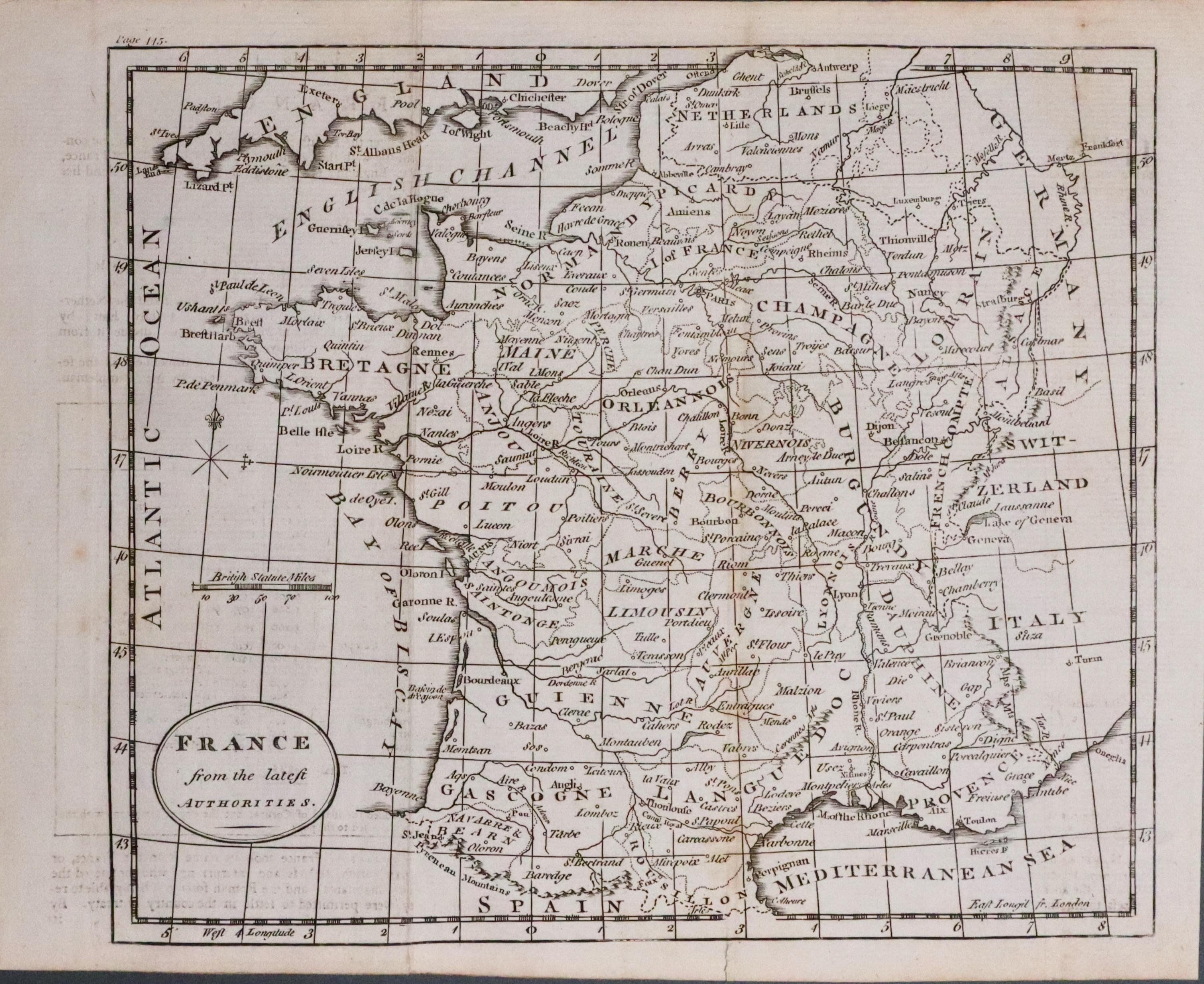
Clear Engraving
33572 France, Walker, c.1800. Price: 12.00
FRANCE FROM THE LATEST AUTHORITIES
A small engraved map of the whole of France. The title is shown within an oval panel. No names appear that this snap could possibly have been engraved by Walker. 9 x 7.5 inches. Uncoloured. Traces of two original vertical folds. Good condition
Whole Country
-
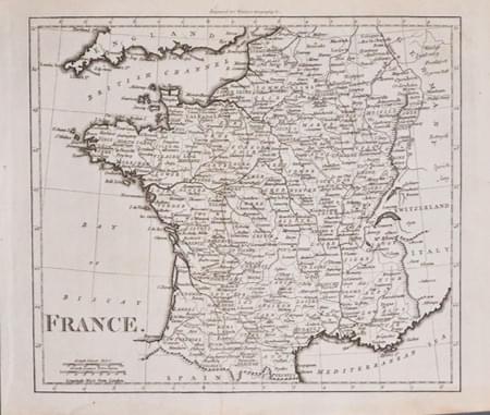
France, Walker c.1800. Price: 14.00
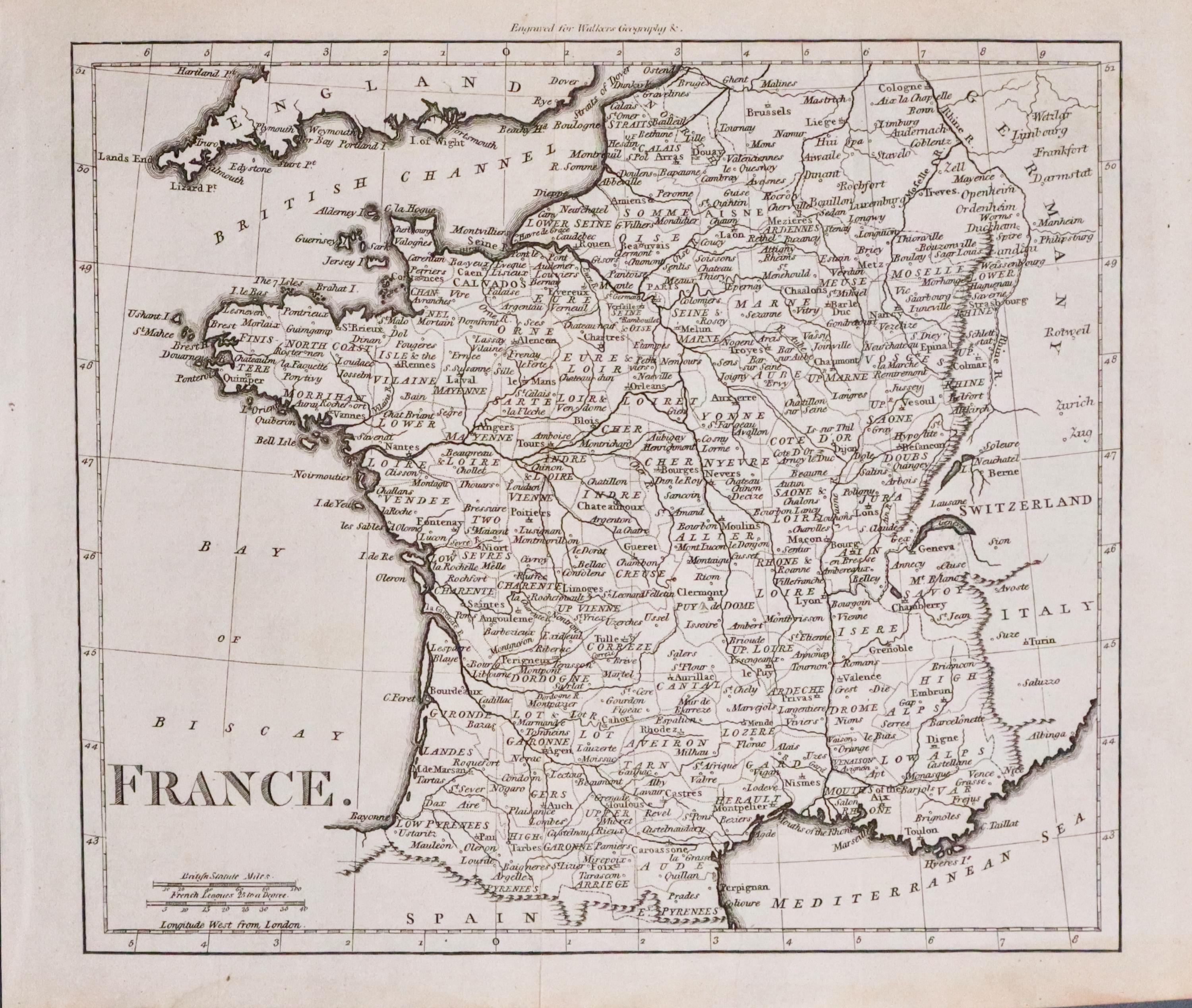
33573 France, Walker, c.1800. Price: 14.00
FRANCE
A small clearly engraved map of the whole of France. Imprint above the map shows that it was engraved for Walkers Geography. 8 1/4 x 7 1.4 inches. Uncoloured. Evidence of two original vertical folds. A nice dark impression. Good condition.
Miniature - Early Hand Colouring
-
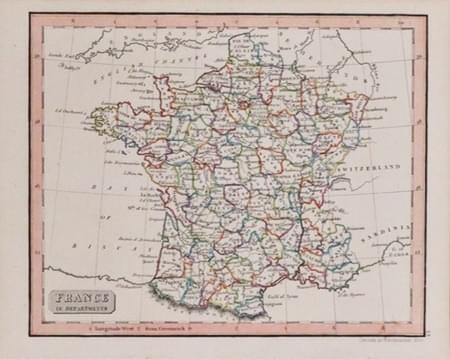
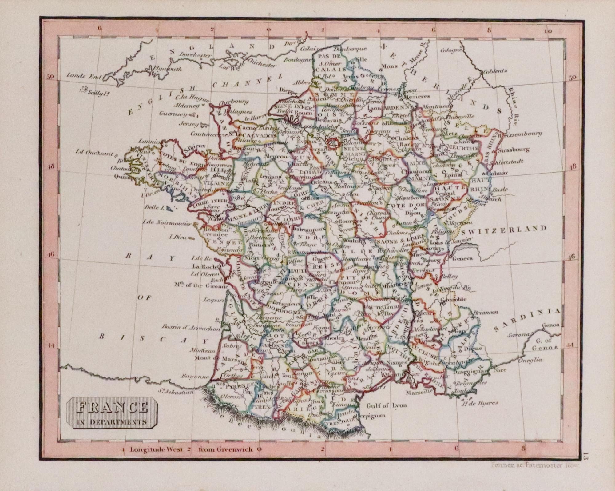
France, Rest Fenner c.1828
33574 France, Rest Fenner c.1828. Price: 14.00
FRANCE IN DEPARTMENTS
A small charming engraved map of the whole of France divided into Departments. Title panel. 5 3/4 x 4 1/2 inches. Original hand colouring. Good condition.
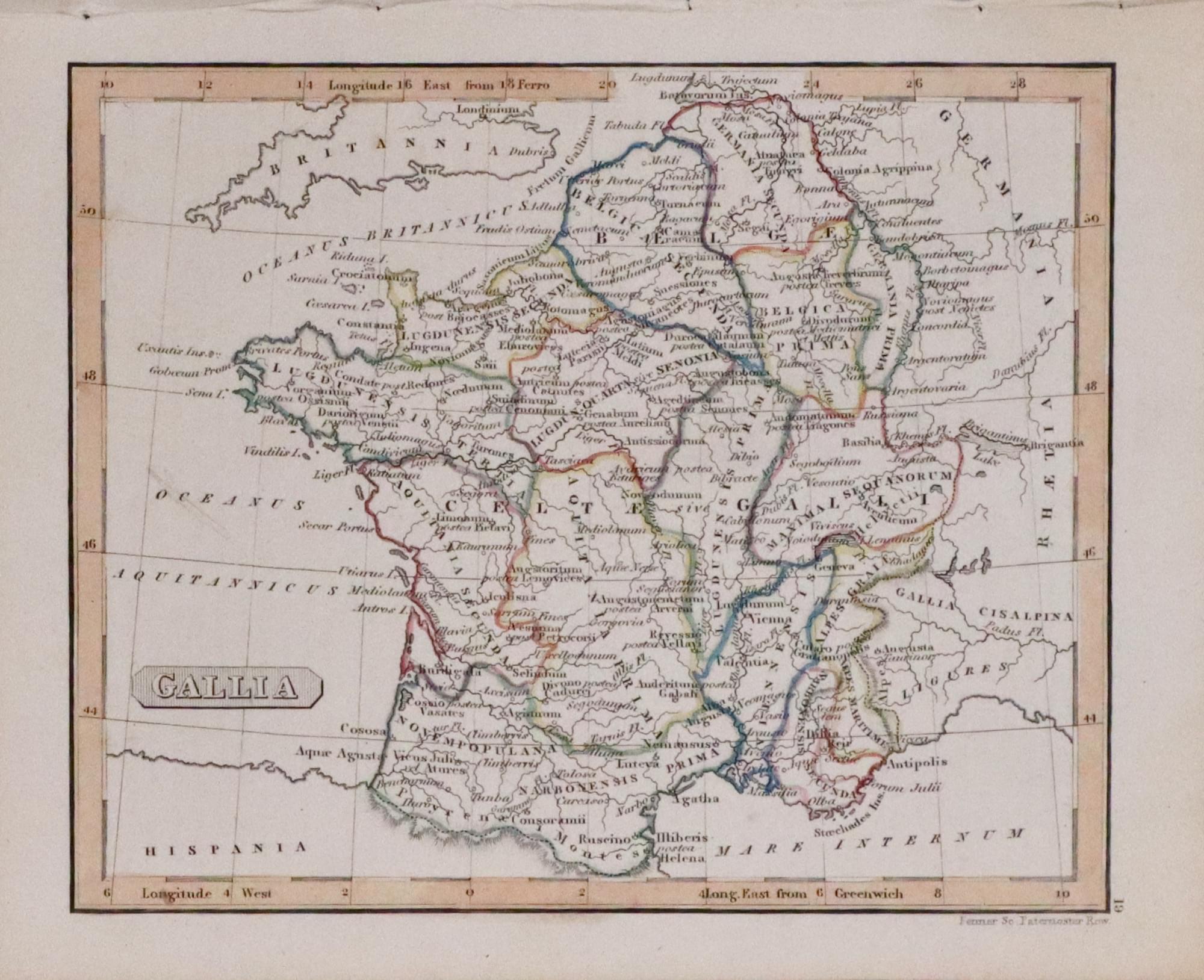
Miniature - Early Hand Colouring
33575 Ancient France, Rest Fenner c.1828. Price: 14.00
GALLIA
A small engraved map of the whole of France in ancient times. Title panel. 5 1/2 x 4 1/2 inches. Original hand colouring. Good condition.
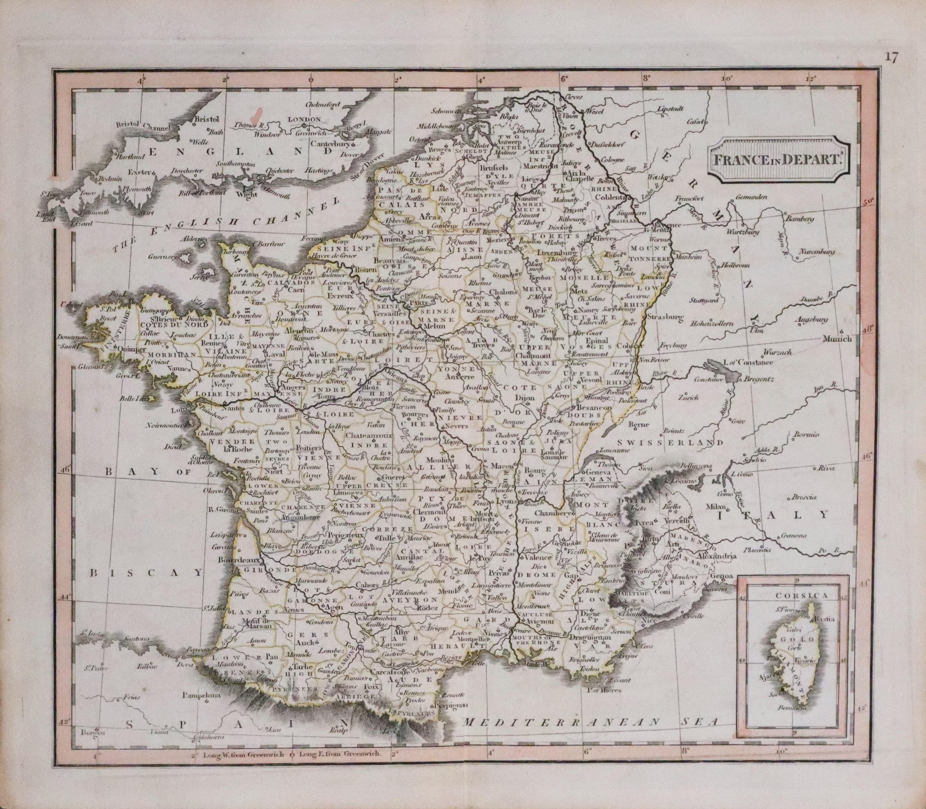
Inset Map of Corsica
33576 France, Unknown, c.1820. Price: 14.00
FRANCE IN DEPARTS
A small engraved map of the whole of France divided into Departments. Inset map of the island of Corsica. Title panel. 5 1/2 x 4 1/2 inches. Original hand colouring. Original centre fold. Small slit at the bottom of the centre fold otherwise good condition. Regret I have been unable to put a cartographers name to this map.
