ANTIQUE MAPS of ALSACE, ARDENNES
and AQUATAINE
Richard Nicholson of Chester
A World of Antique Maps and Prints
Established in 1961
All the Maps on this page are guaranteed to be genuine early specimens
pubished in or around the year stated
ALSACE
17th Century
-

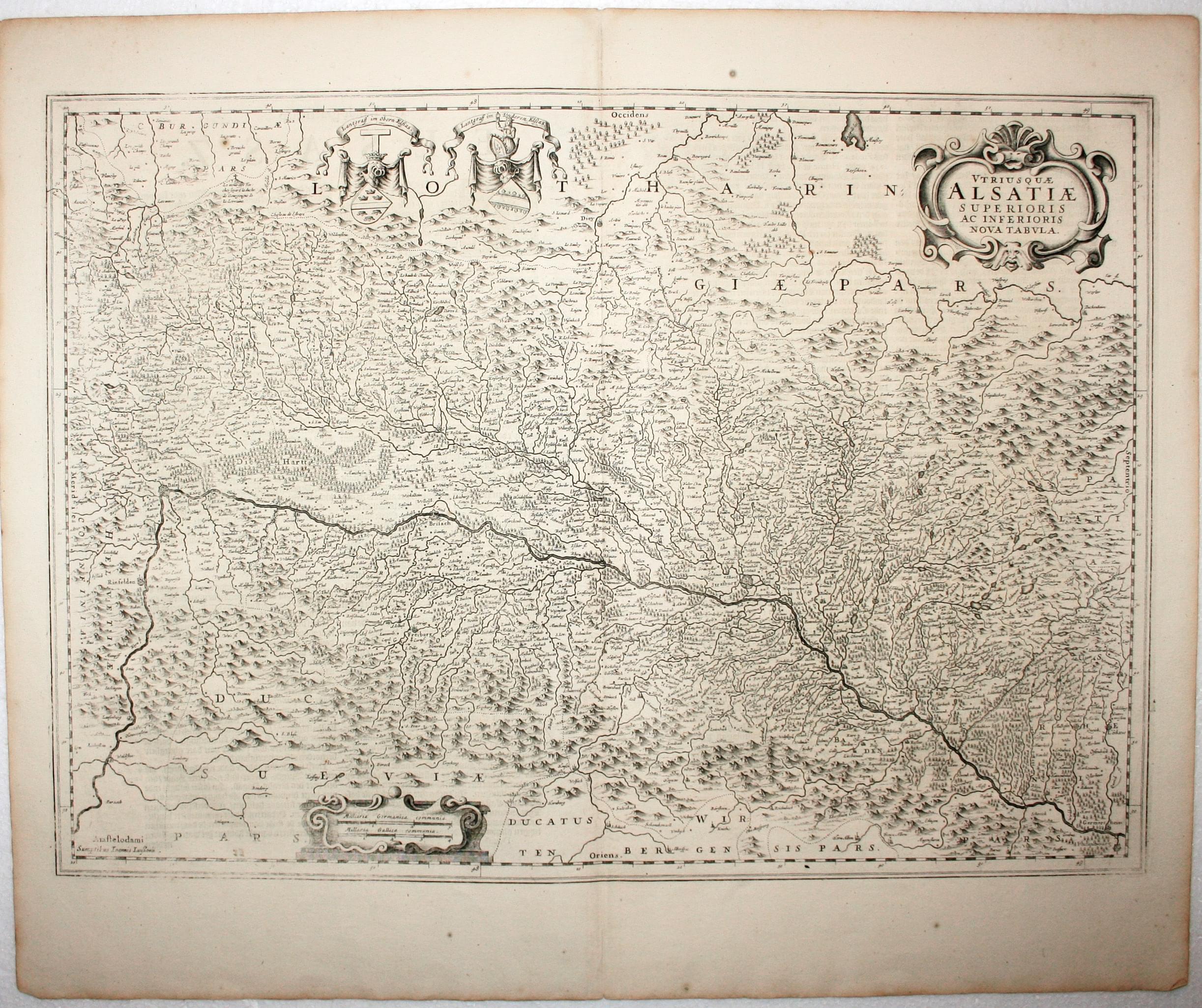
Alsace, Jan Jansson, 1647
5514 Alsace, Jan Jansson, 1647. Price: 125.00
Utriusquae ALSATIAE Superioris Ac Inferioris Nova Tabula
A good engraved map of Alsace including the Rhine from Phillipsburg to south of Basle. Two decorative cartouches and two coats of arms. 21 x 15 inches, 540 x 390 mm. Dutch text on verso. Uncoloured. Good condition.
Large detailed map with original hand colouring
-
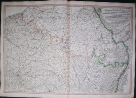
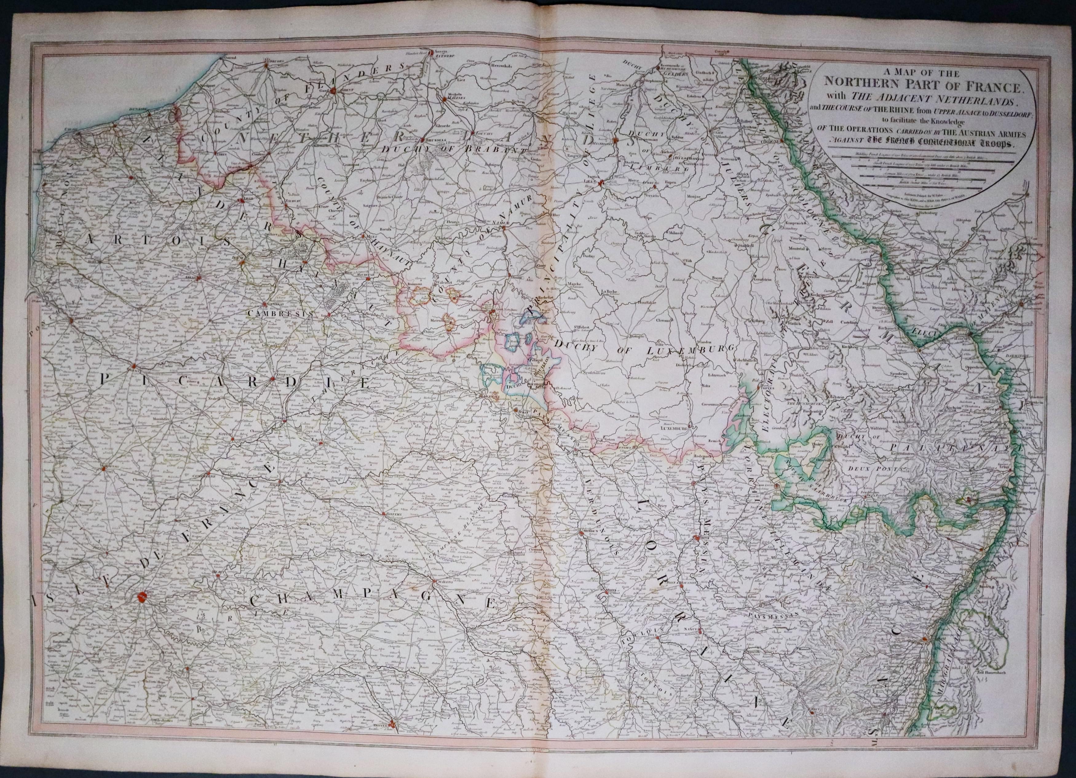
Northern France & Netherlands, William Faden 1795
22533 Northern France and Netherlands, William Faden, 1795. Price: 86.00
A MAP OF THE NORTHERN PART OF FRANCE WITH THE ADJACENT NETHERLANDS AND THE COURSE OF THE RIVER RHINE FROM UPPER ALSACE TO DUSSELFORF; TO FACILITATE THE KNOWLEDGE OF THE OPERATIONS CARRIED ON BY THE AUSTRIAN ARMIES AGAINST THE FRENCH CONVENTIONAL TROOPS
A large detailed map of the region with a title panel showing four scales and the publishers imprint dated 1795. 30 3/4 x 21 1/2 inches. Original outline hand colouring. Good thick paper. Original centre fold. Taken from the atlas and therefore not previously sold as a single map.
From: A New General Atlas
16th Century
-
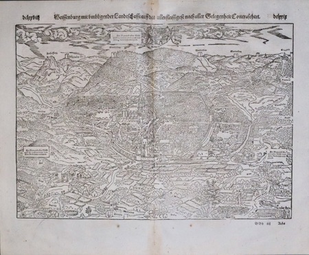
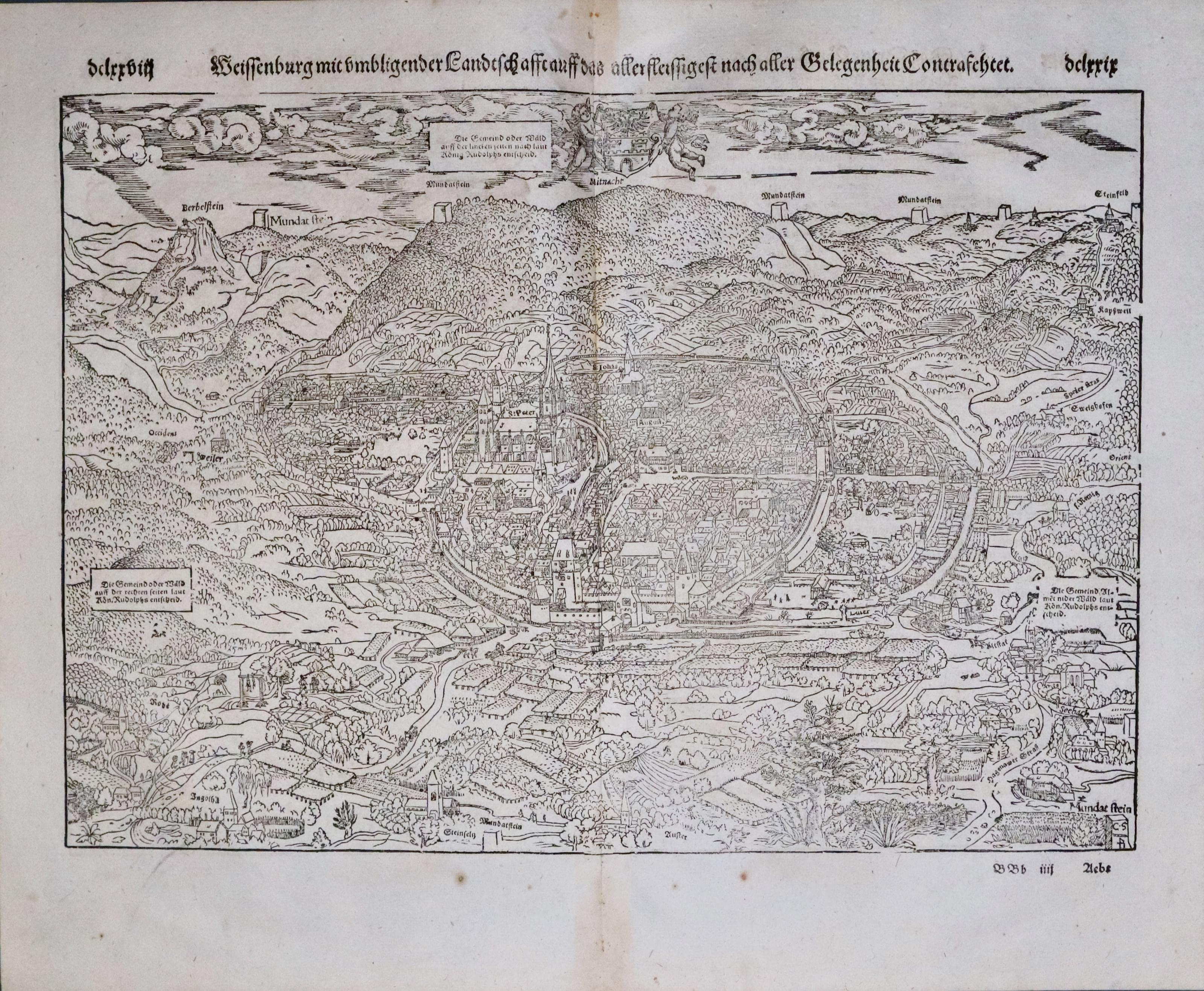
Weissenburg, Alsace, Sebastian Munster 1598
33457 Weissenburg, Sebastian Munster, 1598. Price: 96.00
WEISSENBURG MIT UMBLIGENDER......
An early woodcut bird’s eye view plan of Wissembourg. Showing the town in great detail even down to a gallows and two persons hanging. Coat of arms in the sky area. 15 x 10 1/2 inches. Original centre fold. German title and text on verso. About 5 small spots but otherwise in a very pleasing condition with full blank margins
From: Sebastian Munster’s Cosmography.
ARDENNES
17th Century - Original Hand Colouring
-

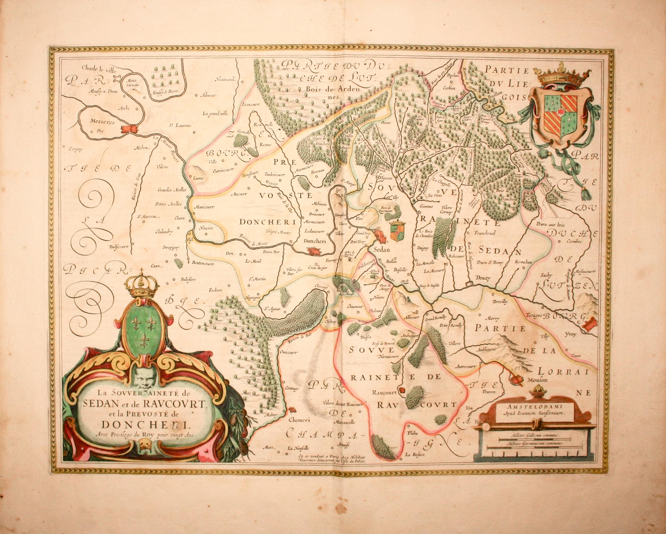
Sedan, Jan Jansson, c.1647
13116 Sedan, Jan Jansson, c.1647. Price: 140.00
LES SOUVERAINETEZ DE SEDAN ET DE RAVCOURT ET LA PREVOSTE DE DONCHERI
An attractive engraved map centred on the town of Sedan. Three decorative cartouches display the title, scale and royal arms. Latin text on verso. 19 x 15 inches, 495 x 380 mm. Original hand colouring. Good condition.
17th Century - Original Hand Colouring
-

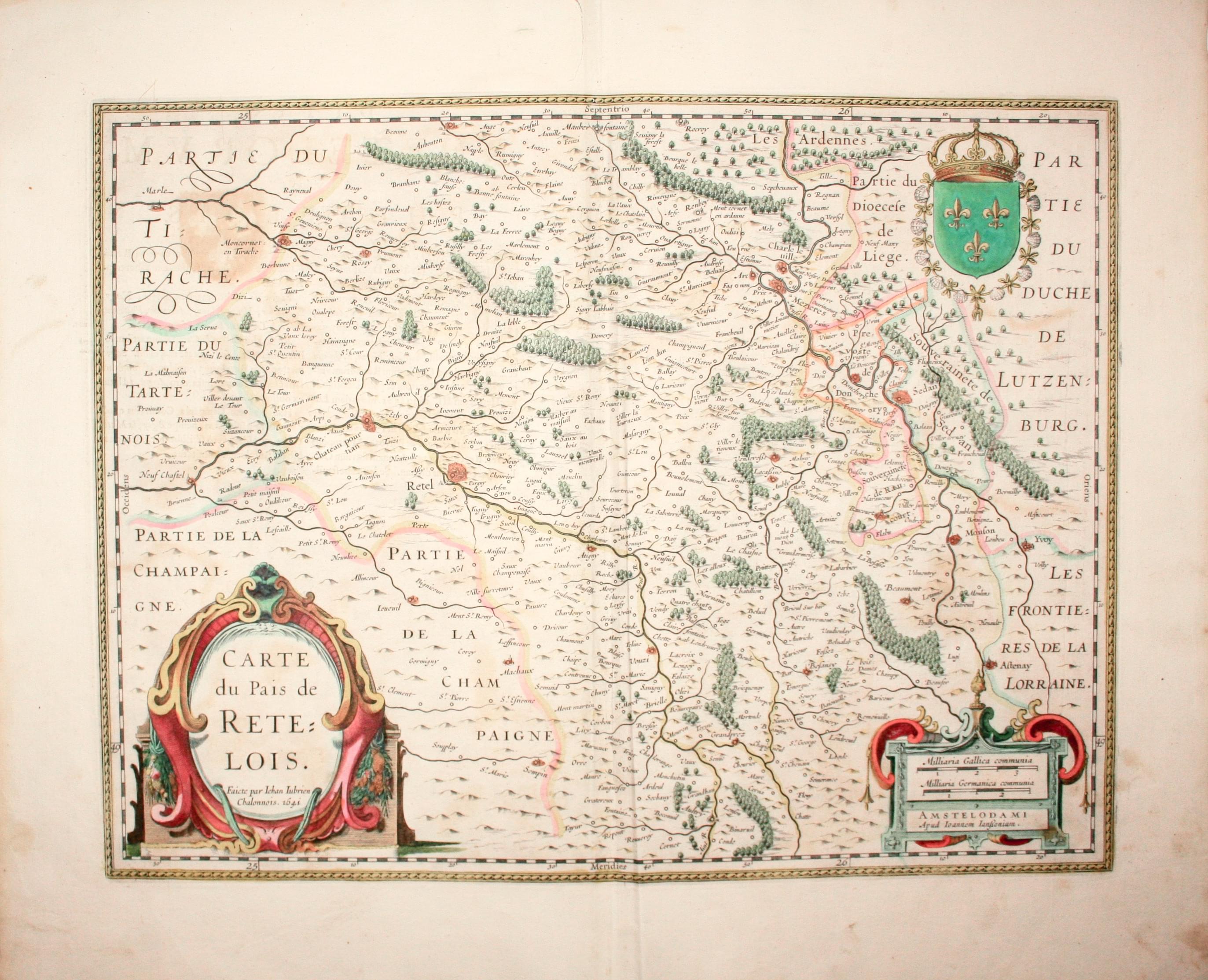
Rethel, Jan Jansson, c.1647
13117 Rethel, Jan Jansson, c.1647. Price: 135.00
CARTE DU PAIS DE RETELOIS
A good 17th century engraved map centre on the town of Rethel. The decorative title cartouche displays an attribution to the French surveyor Jean Jubrien (1569-1641). Royal arms and scale cartouche. 19 x 15 inches, 500 x 380 mm. Original hand colouring. Single small tear in the top blank margin near the centre fold, otherwise good.
AQUATAINE
Mid 17th Century
-

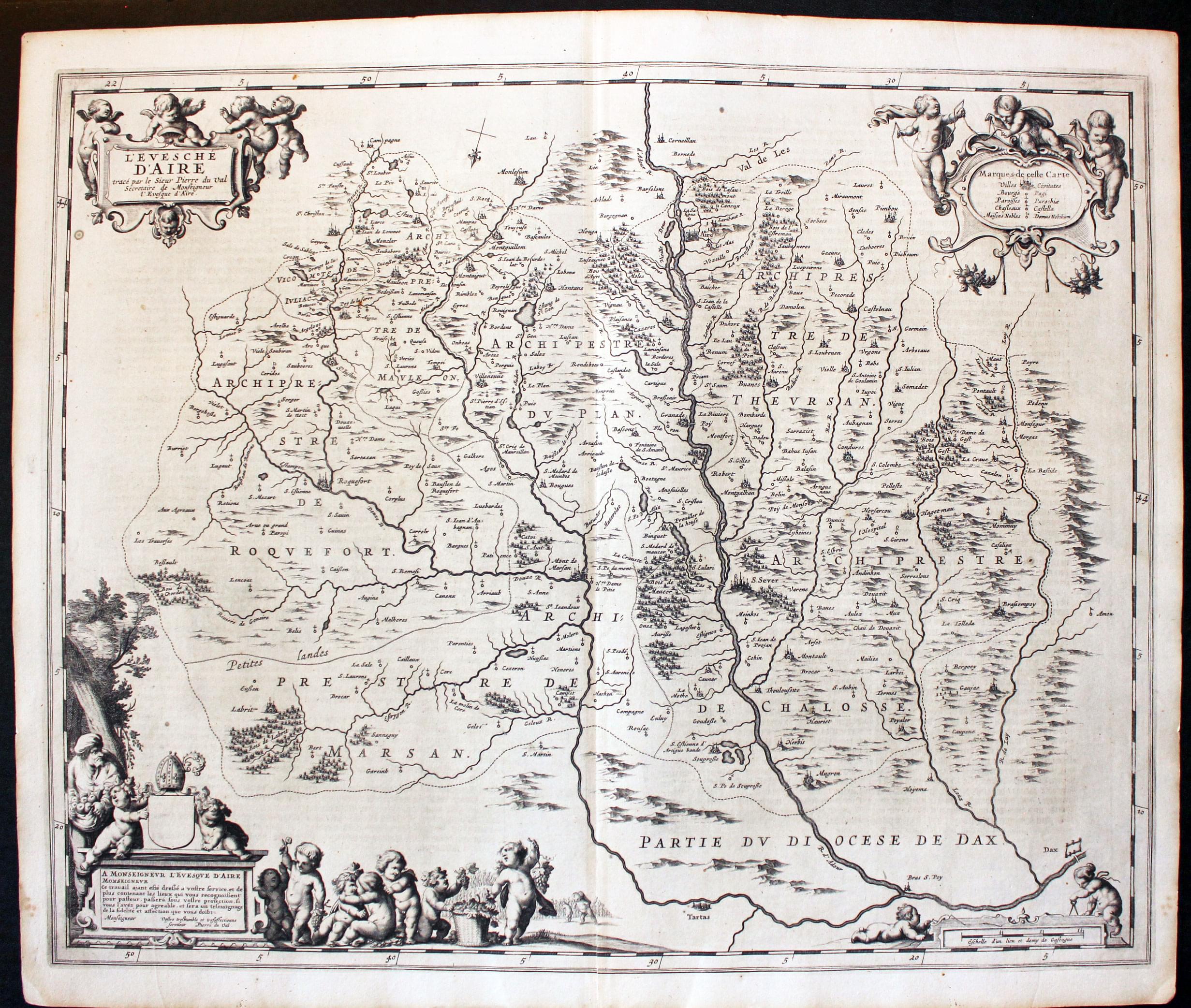
Map of Aire by Jan Jansson, 1647
5546 Aire, Jan Jansson, 1647. Price: 135.00
L'EVESCHE D'AIRE...
An engraved map orientated with east at the top. It shows the Roman Catholic Diocese of Air and part of the Diocese of Dax, located in the Aquatiane region of France. Four decorative cartouches with putti. 21 x 17 inches, 540 x 440 mm. Dutch text on verso. Uncoloured. Small split at the bottom of the centre fold otherwise good clean undamaged condition.
From: Nieuwen Atlas
This map has not been sold previously as a single map
Late 17th Century
-

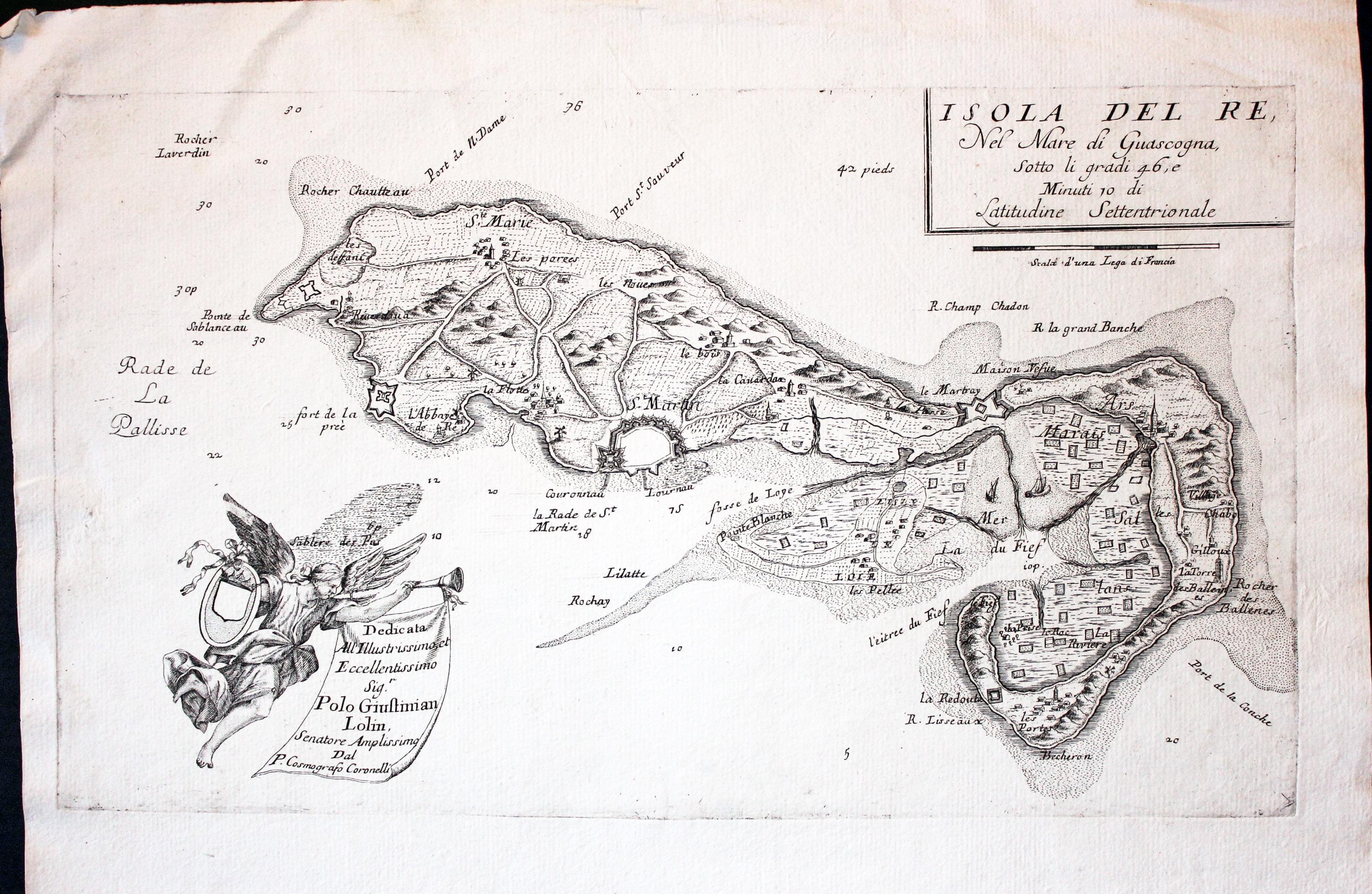
Ile de Re, France Vincenzo Maria Coronelli 1696
32286 Isle de Re, Vincenzo Maria Coronelli, c.1696. Price: 250.00
ISOLA DEL RE, NEL MARE DI GUASCOGNA...
An engraved map of the Isle of Re located in the Bay of Biscay off the coast from La Rochelle. The title is shown in a simple panel whilst the dedication to Polo Giustinian Lolin is shown on a banner hanging from a trumpet. The angel also holds a blank coat of arms 18 c 10 1/2 inches. Uncoloured. Good condition.
From: Atlante Veneto
17th Century - Miniature
-

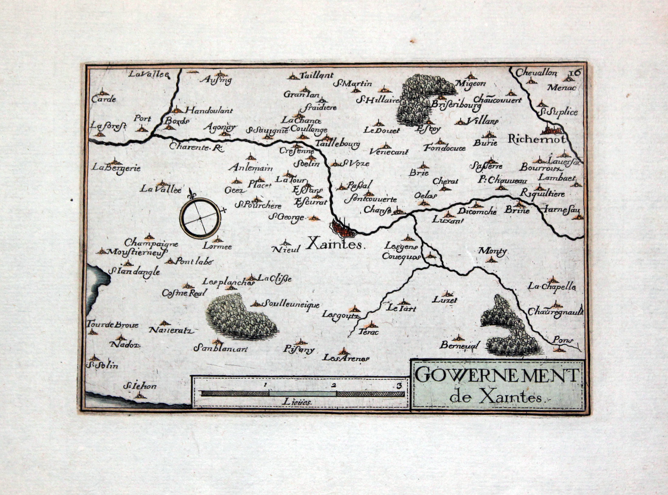
Map of Saintes, Christophe Nicolas Tassin, c.1632
32516 Saintes, Christophe Nicolas Tassin, c.1632. Price: 50.00
GOVERNMENT DE XAINTES A miniature engraved map centred on the historic town of Saintes. Tile panel with a scale panel adjoing to the left. Compass pointer. 6 x 4 inches. Good wide blank margins. Hand coloured. Traces of brown tape on verso at the top where the map has been in a mount. Single small worm hole in the bottom blank margin. Good clean undamaged condition.
