Antique Maps of
Maine, Normandy, Oleron,
Orleanis and Picardy
Richard Nicholson of Chester
A World of Antique Maps and Prints
Established in 1961
All the Maps on this page are guaranteed to be genuine early specimens
pubished in or around the year stated
MAINE
18th Century - Early Hand Colouring
-
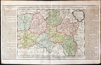
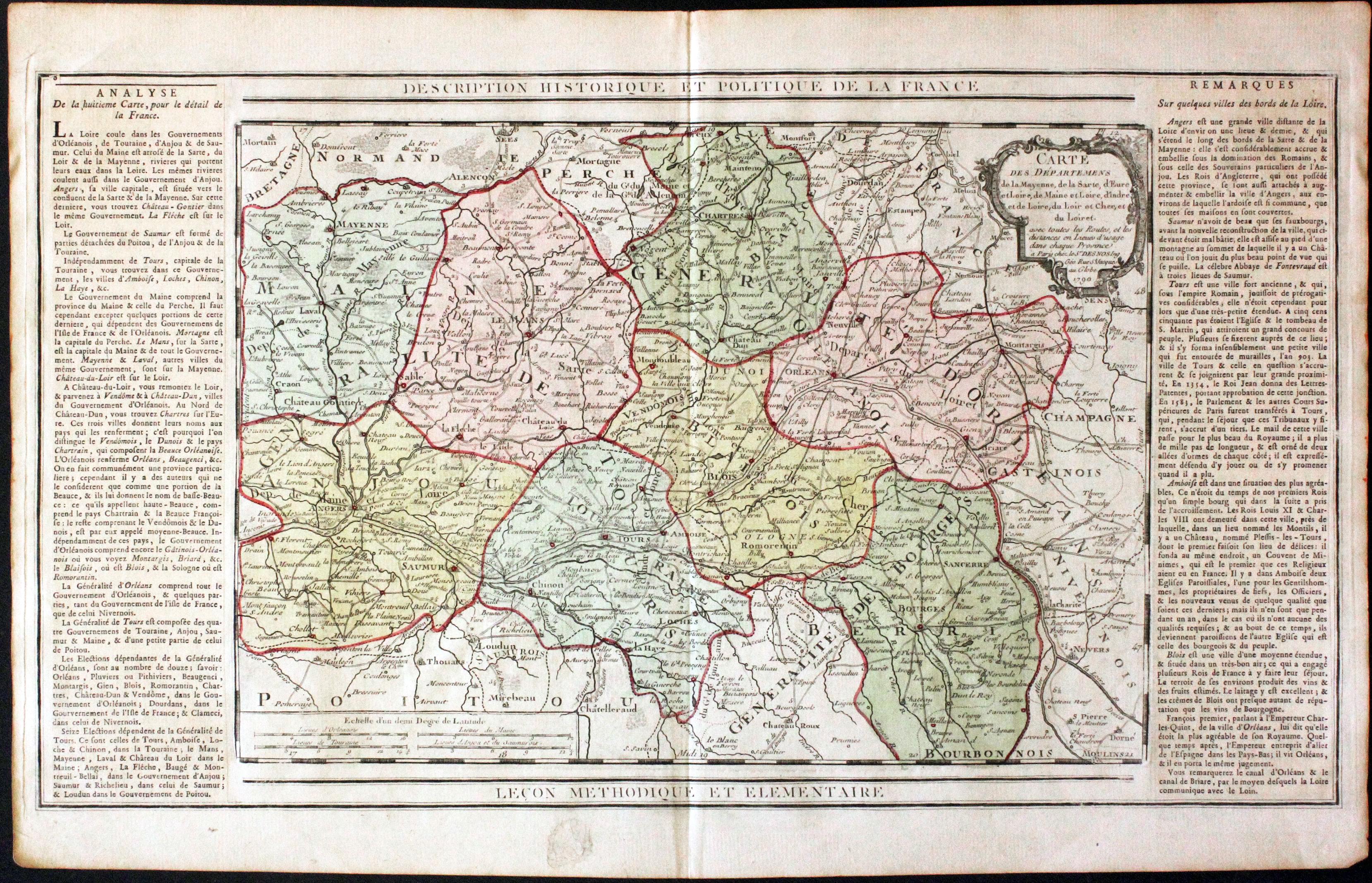
Maine and other Departments, Louis Brion de la Tour, c.1790
30755 Maine and other Departments, Louis Brion de la Tour, c.1790. Price: 42.00
CARTE DES DEPARTMENTS DE LA MAYENNE, DE LA SARTE, D’EURE ET LOIRE, DE MAIN ET LOIRE, D’INDDRE ET DE LOIR, DU LOIR ET CHER, ET DU LOIRET... Paris, Desnos 1790.
An engraved map of the regions embellished with an uncoloured rococo title cartouche dated 1790. Map size 13 3/4 x 9 1/2 inches. Flanked by two panels of French text pasted on Original outline and wash colouring. Small area of thinning paper in bottom blank margin otherwise good condition.
From the "Géographie Moderne Historique Et Politique"
NORMANDY
18th Century - Town Plan
-
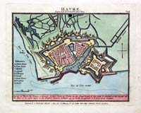
Le Havre, John Luffman, 1804
17063 Le Havre, John Luffman, 1804. Price: 47.00
HAVRE.
A simple plan of the town and fortifications with a key listing nine places. Description beneath in two lines. 6 x 4.5 inches, 150 x 115 mm. Early hand colouring. Fine condition. Rare.
From: Plans of the Principal Cities, Harbours and Forts in the World
Early 19h Century - Early Hand Colouring
-
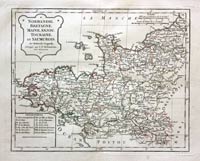
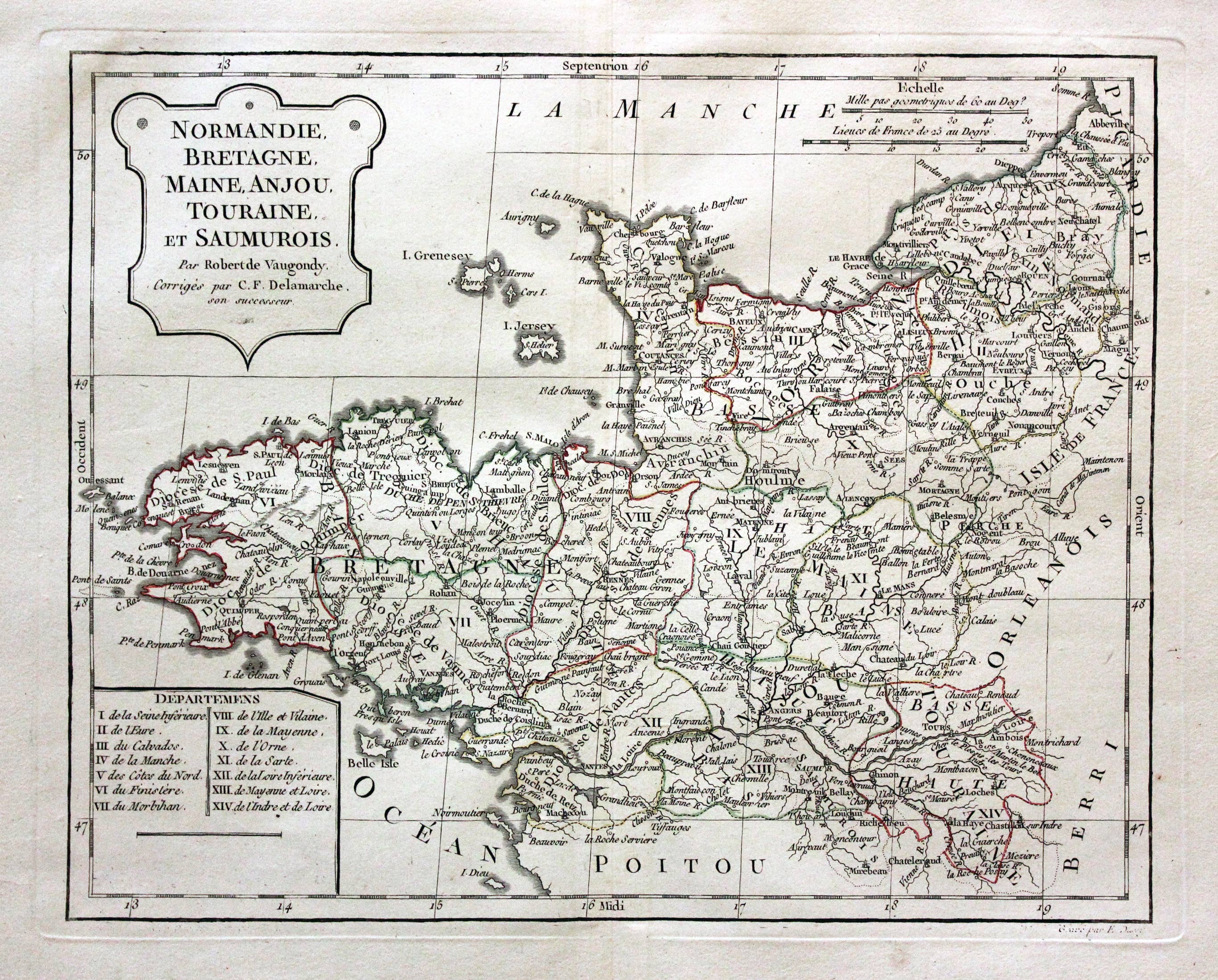
Normandy, Britanny and Touraine, Robert de Vaugondy / Charles Francois Delamarche, 1812
29716 Normandy, Britanny and Touraine, Robert de Vaugondy / Charles Francois Delamarche, 1812. Price: 30.00
FLANDRE FRANCOISE, PICARDIE ET ARTOIS, ISLE DE FRANCE, ORLEANOIS, CHAMPAGNE, LORRAINE ET ALSACE. PAR ROBERT DE VAUGONDY GEOGRAPHE CORRIGES PAR C. F. DELAMARCHE SON SUCCESSEUR
A good engraved map of the region with a shaped title panel dated 1806. List of departments and two scales. 11 1/4 x 9 1/2 inches. Original outline hand colouring. Good condition. Wide blank margins.
18th Century
-

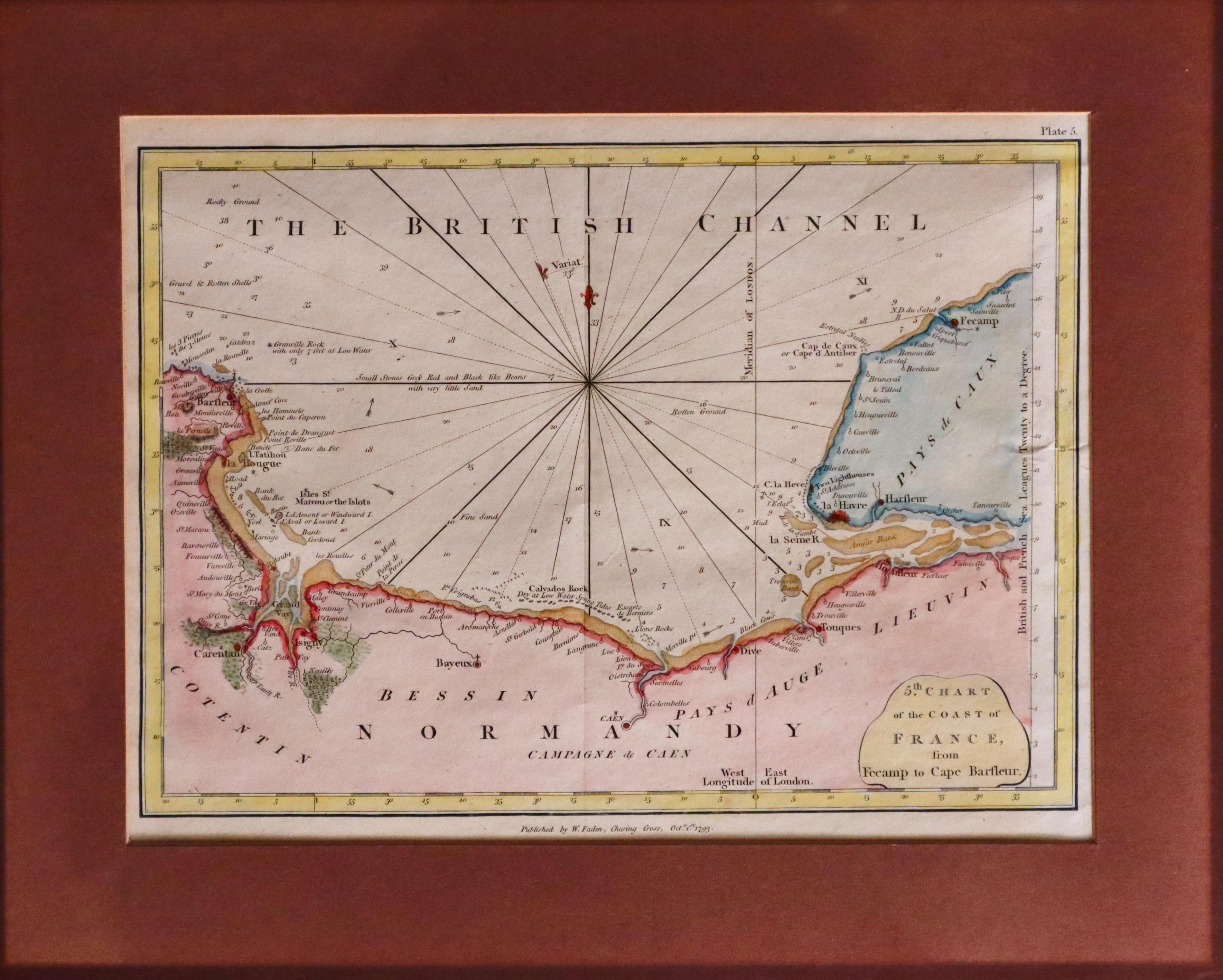
Normandy William Faden 1793
30472 Normandy, William Faden, 1793. Price: 25.00
5TH CHART OF THE COAST OF FRANCE FROM FECAMP TO CAPE BARFLEUR.
An engraved chart showing part of the coast of Normandy and Le Havre. The publishers imprint beneath is dated 1793. 9 3/4 x 7 inches. Hand coloured. Presented in a maroon sunk mount. The outer edges of the mount are darker as the map has been framed for many years and this area has been protected from the light. The map is in good condition.
OLERON
17th Century - Early Hand Colouring
-

Re and Oleron, Blaeu c.1662
31980 Re and Oleron, W. & J. Blaeu, c.1662. Price: 400.00
INSULAE DIVI MARTINI ET VLIARUS VULGO L'ISLE DE RE ET OLERON
A fine map of the islands of Re and Oleron orientated with east at the top. Decorative title and scale cartouches. Three compass roses and ships. 21 x 15 inches, 530 x 390 mm. Spanish text on verso. Fine early hand colouring raised with gold. Good condition. This map came from a set of six Blaeu atlases that I split back in the early 1970’s. Up until now it has been in a frame. On unframing it I found the picture framed had the good sense to fold over a small amount of the margin edges instead of trimming the borders down so as to square it up.
ORLEANIS
17th Century - Early Hand Colouring
-
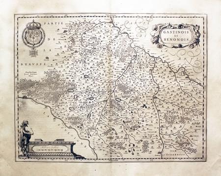
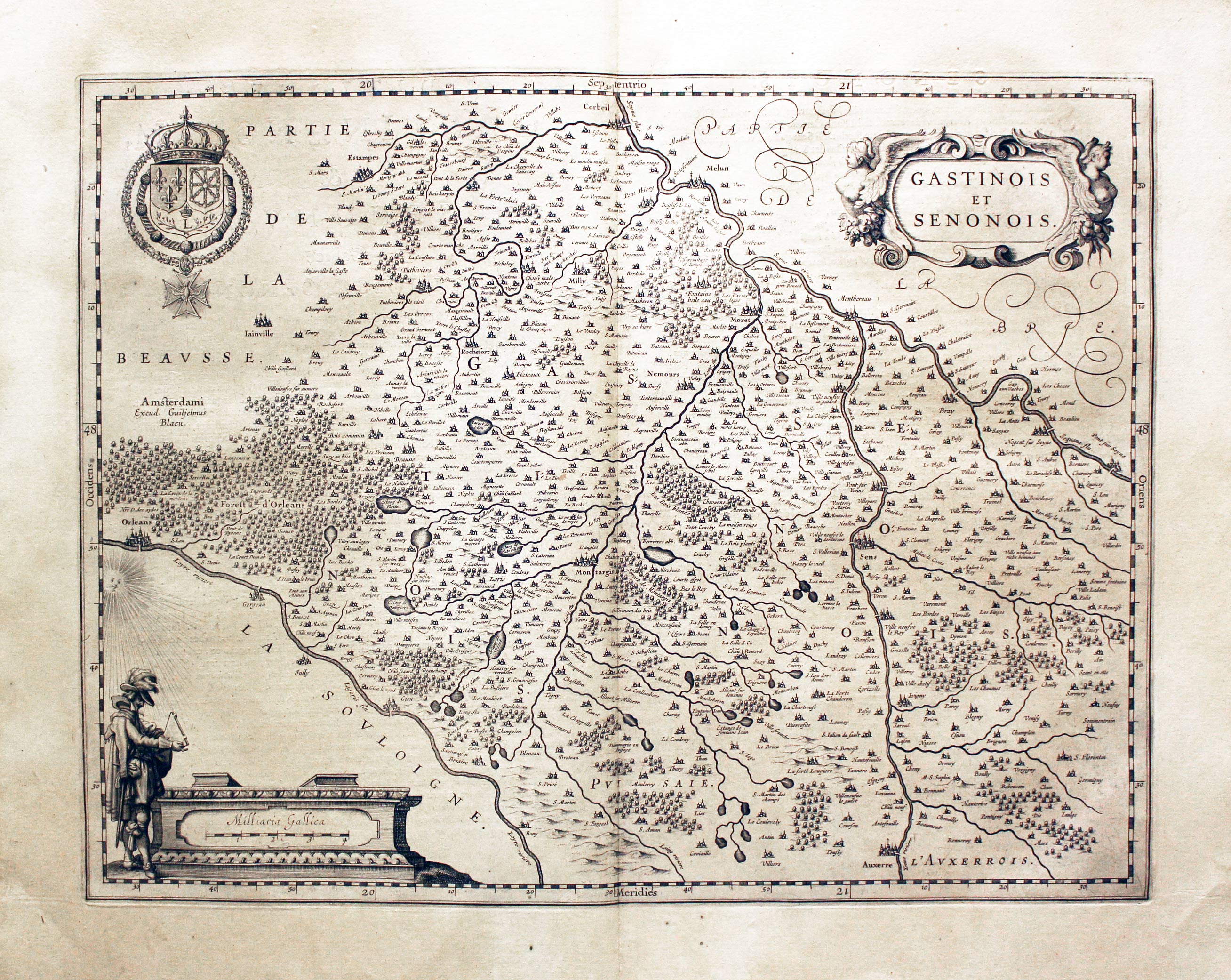
Part of Orleanis, Willem J. Blaeu, c.1640
24286 Part of Orleanis, Willem J. Blaeu, c.1640. Price: 100.00
GASTINOIS et SENONOIS
An engraved map centred on the town of Montargis. Extends westwards to include Orleans, north to Melun with Sens and Auxerre in the south. Decorative title cartouche. Scale cartouche with the figures of a surveyor. Royal Arms. 19 1/4 x 15 inches, 495 x 380 mm. Latin text on verso. Uncoloured. Lightly toned. Good condition.
16th Century - Town Plan - Early Hand Colouring
-
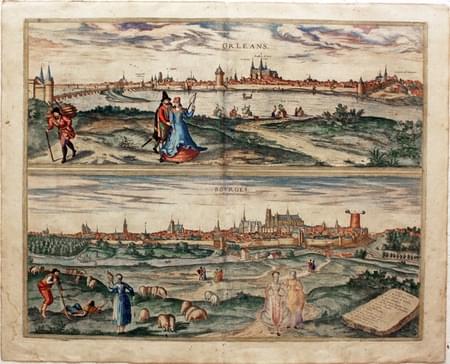
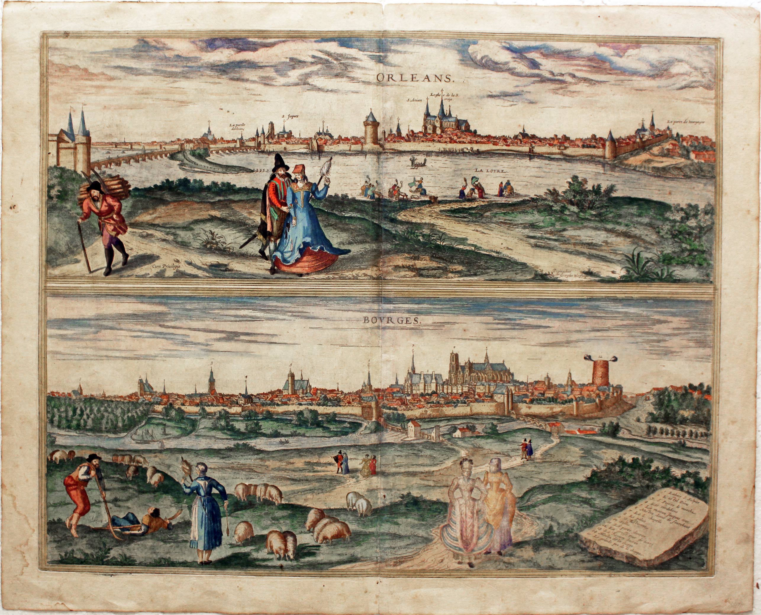
Orleans and Bourges, Georg Braun and Franz Hogenberg, c.1588
29278 Orleans and Bourges, Georg Braun and Franz Hogenberg, c.1588. Price: 220.00
ORLEANS / BOURGES.
From the drawings by Joris Hoefngel. Two panoramic bird's eye views of Orleans and Bourges on one sheet. A fascinating record of these two towns at the end of the 16th century. The view of Bourges shows the splendid 13th century cathedral. The Orleans view in turn shows the fabbulous cathedral of Saint Croix. Each view includes costumed figures. 18 1/2 x 14 1/2 inches. Fine early hand colouring. Little light water staining in the bottom left blank margin. Very small slit the top of the centre fold. Otherwise good condition. Latin text on verso.
From: Civitates Orbis Terrarum
18th Century - Early Hand Colouring
-
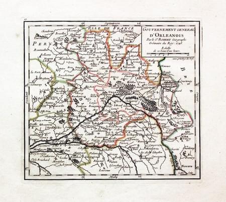
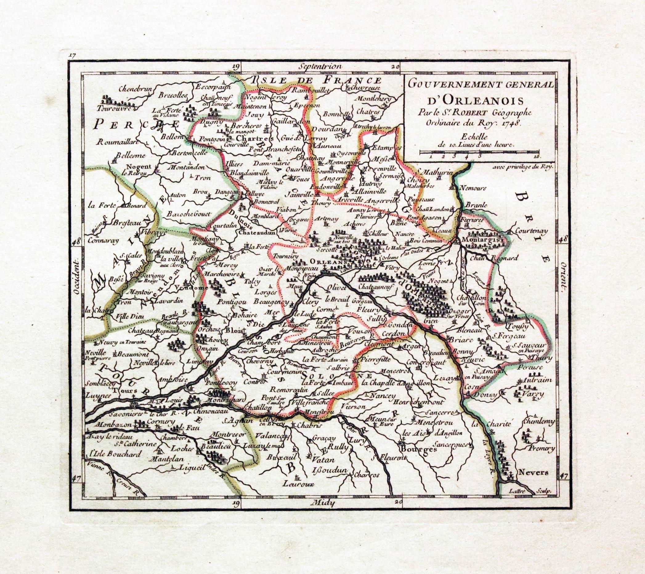
Orleanois, Robert de Vaugondy, 1749
29560 Orleanois, Robert de Vaugondy, 1749. Price: 25.00
GOUVERNEMENT GENERAL D’ORLEANOIS....1748.
An engraved map of the region with title panel dated 1748. 7 x 6 1/2 inches. Original outline hand colouring. Good condition.
18th Century - Early Hand Colouring
-
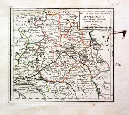
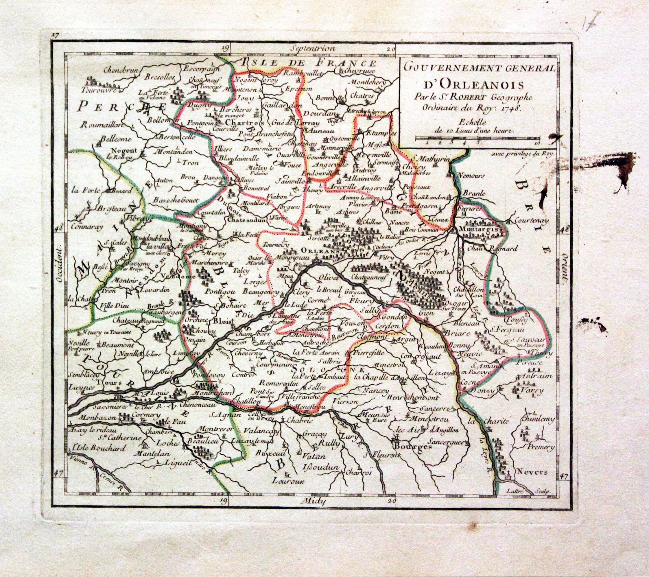
Orleanois, Robert de Vaugondy, 1749
29735 Orleanois, Robert de Vaugondy, 1749. Price: 22.00
GOUVERNEMENT GENERAL D’ORLEANOIS.... 1748
An engraved map of the region with title panel dated 1748. 7 x 6 1/2 inches. Original outline hand colouring. Some old ink stains in the right hand blank margin and just reaching into the map area otherwise good condition.
18th Century - Early Hand Colouring
-

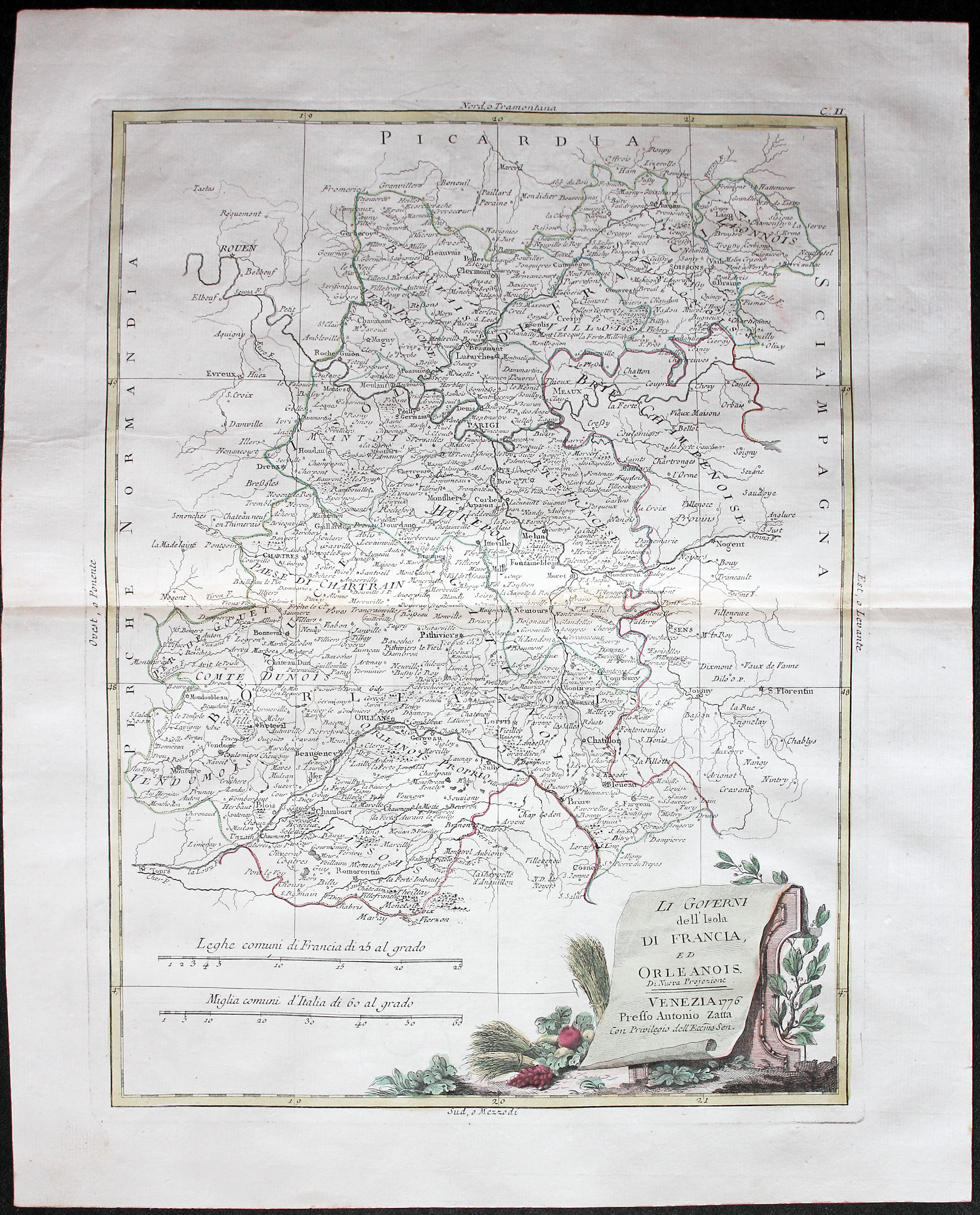
Ile de France and Orleans, Antolion Zatta c.1777
32225 Ile de France and Orleans, Antonio Zatta, c.1777. Price: 90.00
LI GOVERNI DELL’ ISOLA DI FRANCIA ED ORLEANIOS....
An engraved map showing showing the area including Ile-de-France with Paris entre-Val de Loire with the cities Orléans, Tours, and Sully-sur-Loire. Decorative pictorial title cartouche dated 1776. Two scales. 11 1/2 x 15 1/2 inches. Original early hand colouring. Minute repair in the centre fold, otherwise good clean crisp condition.
From: Atlante Veneto.
18th Century - Early Hand Colouring
-
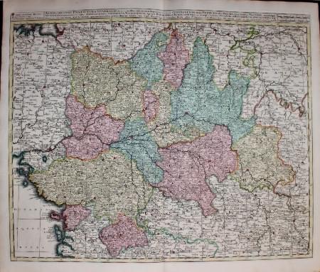
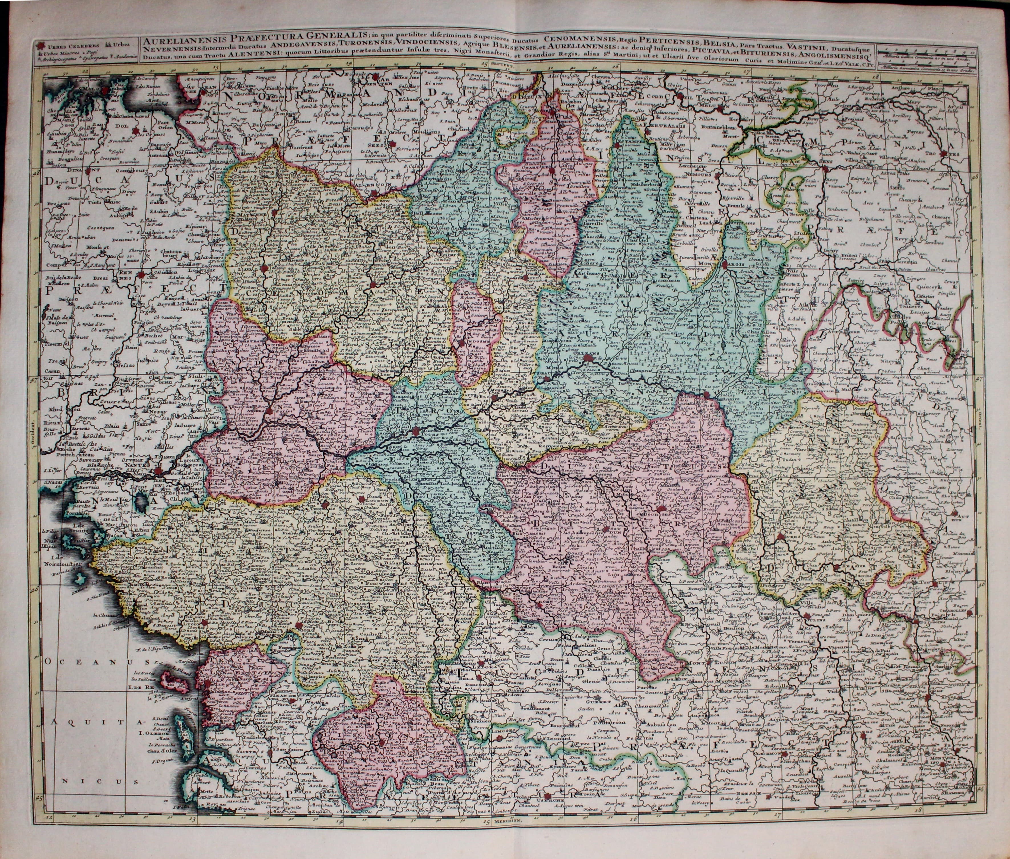
Loire Valley P. Schenk & G. Valk c.1740
33192 Loire Valley, Pieter Schenk and Gerald Talk, c.1740. Price: 140.00
AURELIANENSIS PRAEFECTURA GENERALIS. .
A fine engraved map centered on Orlean and showing a large area in all directions. It shows the Loire Valley from Nantes to Angers, Tours, Orleans and Nevers. Part of the cast is shown with the islands of Oleron and Re. The title is shown in a panel across the top of the map and include the names of Valk and Schenk. Plain on verso. Original centre fold. 23 1/2 x 19 1/4 inches. Fine original outline and wash hand colouring. This map has been taken ffrom an Ottens world atlas and not previously been sold as a single map. Excellent condiiton.
18th Century
-
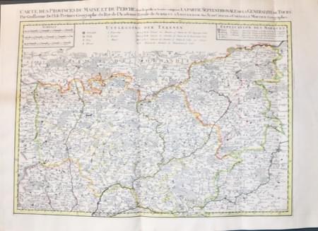
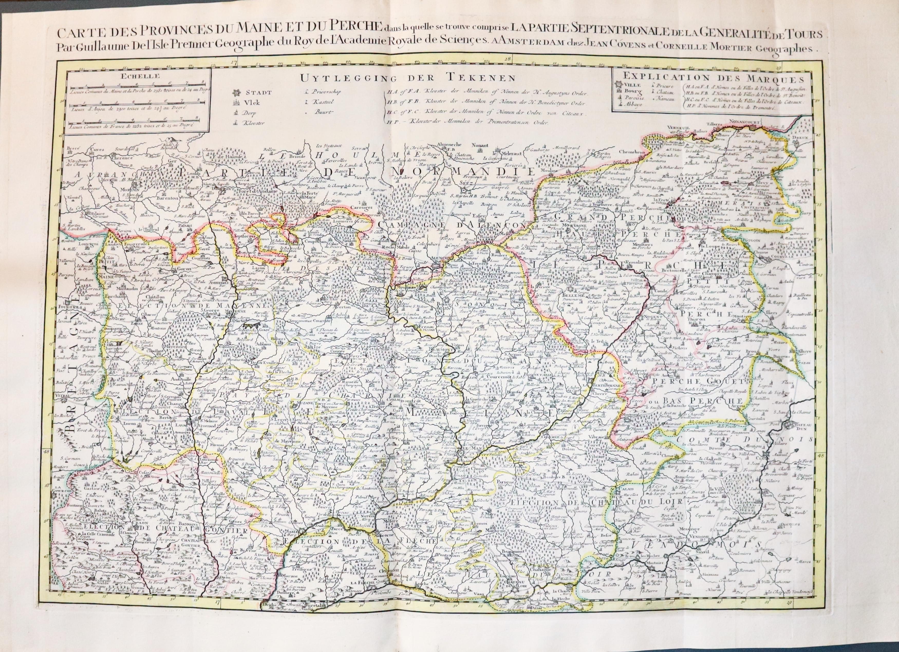
Maine & Perche, J Covens & C Mortier c.1740
33367 Maine - Perche - Tours, J. Covens & C. Mortier, c.1740. Price: 165.00
Carte des provinces du Maine et du Perche dans laquelle se trouve comprise La Partie Septentrionale de la Généralité de Tours
A good clearly engraved map of this area of northern France. The title appears across the top of the map with an attribution to Guillaume de L’Isle. 25 1/2 x 17 3/4 inches. Scale and explanation panels. Original outline hand colouring. Three original vertical fold creases. Heavy paper. Superb clean condition.
PICARDY
17th Century
-
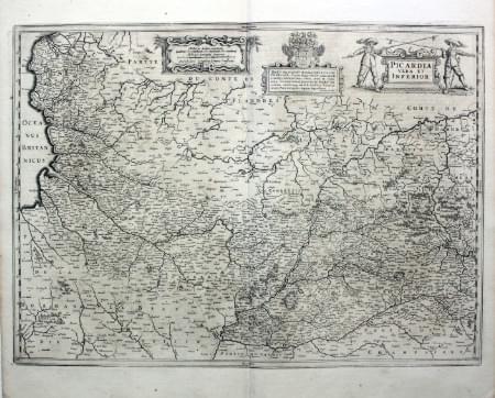
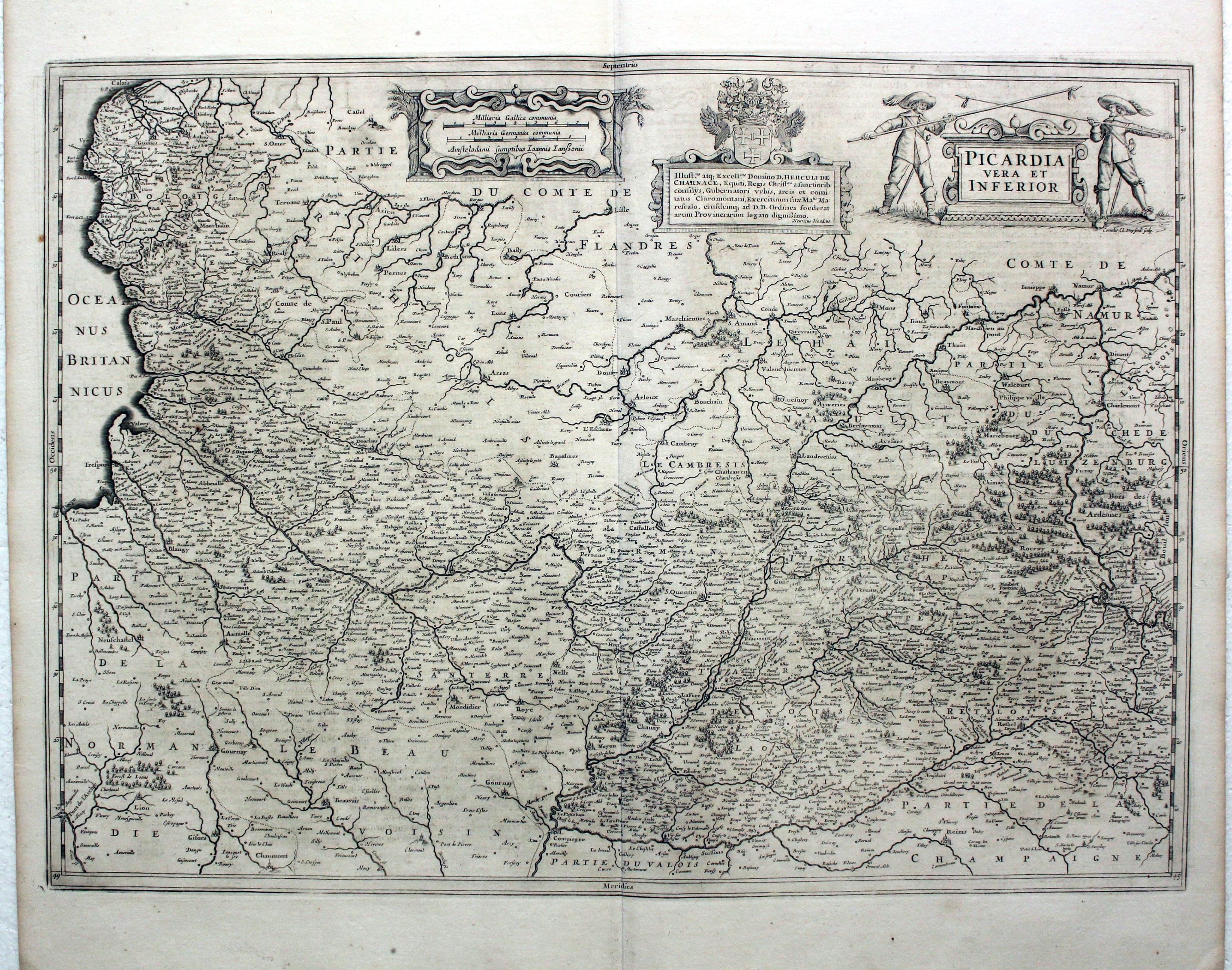
Picardie, Jan Jansson, 1647
5521 Picardie, Jan Jansson, 1647. Price: 120.00
PICARDIA Vera et Inferior
A detailed engraved map extending as far south as Reims. Three decorative cartouches. 21 x 15 inches, 540 x 390 mm. Dutch text on verso. Uncoloured. Good condition.
From Nieuwen Atlas, Ofte Weerelt-Beschrijvinghe
18th Century - Early Hand Colouring
-

Part of Picardy, J. Covens and C. Mortier, c.1740
26590 Part of Picardy, J. Covens and C. Mortier, c.1740. Price: 118.00
CARTE PARTICULIERE DES ENVIRONS D’ARTHOIS DU BOULENOIS ET D’UNE PARTIE DE LA PICARDIE.
An engraved map including the towns of Saint-Omer, Aire, Montreuil and Hesdin The title appears above the map includes the names of Covens and Mortier and the Brussels bookseller Eugene Henri Fricx. 21 3/4 x 16 1/4 inches. Original outline and wash hand colouring. Good condition.
18th Century - Early Hand Colouring
-
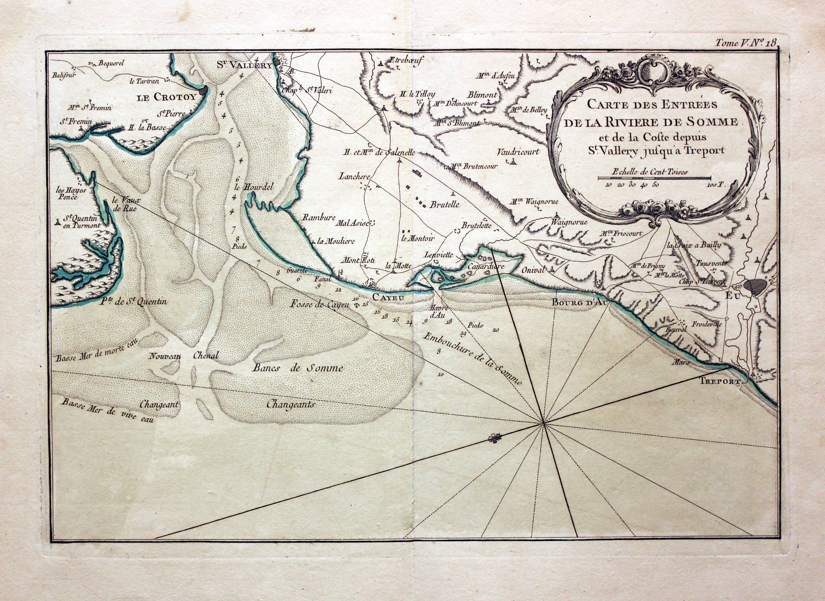
Entrace to the River Somme, Jacques Nicolas Bellin, 1764
27787 Entrance to the River Somme, Jacques Nicolas Bellin, 1764. Price: 47.00
CARTE DE ENTREES DE LA RIVIERE DE SOMME ET DE LA COSTE DEPUIS ST. VALLERY JUSQU’A TREPORT
An engraved chart showing the entrance to the River Somme with Treport and St.Vallery. 12 3/4 x 8 1/2 inches. Original blue outline and wash hand colouring. Fine condition.
Map number 18 from Volume 5 of Le Petit Atlas Maritime
Early 19th Century - Early Hand Colouring
-
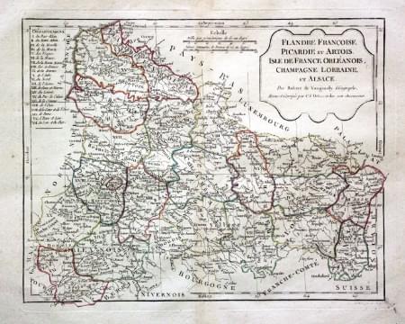
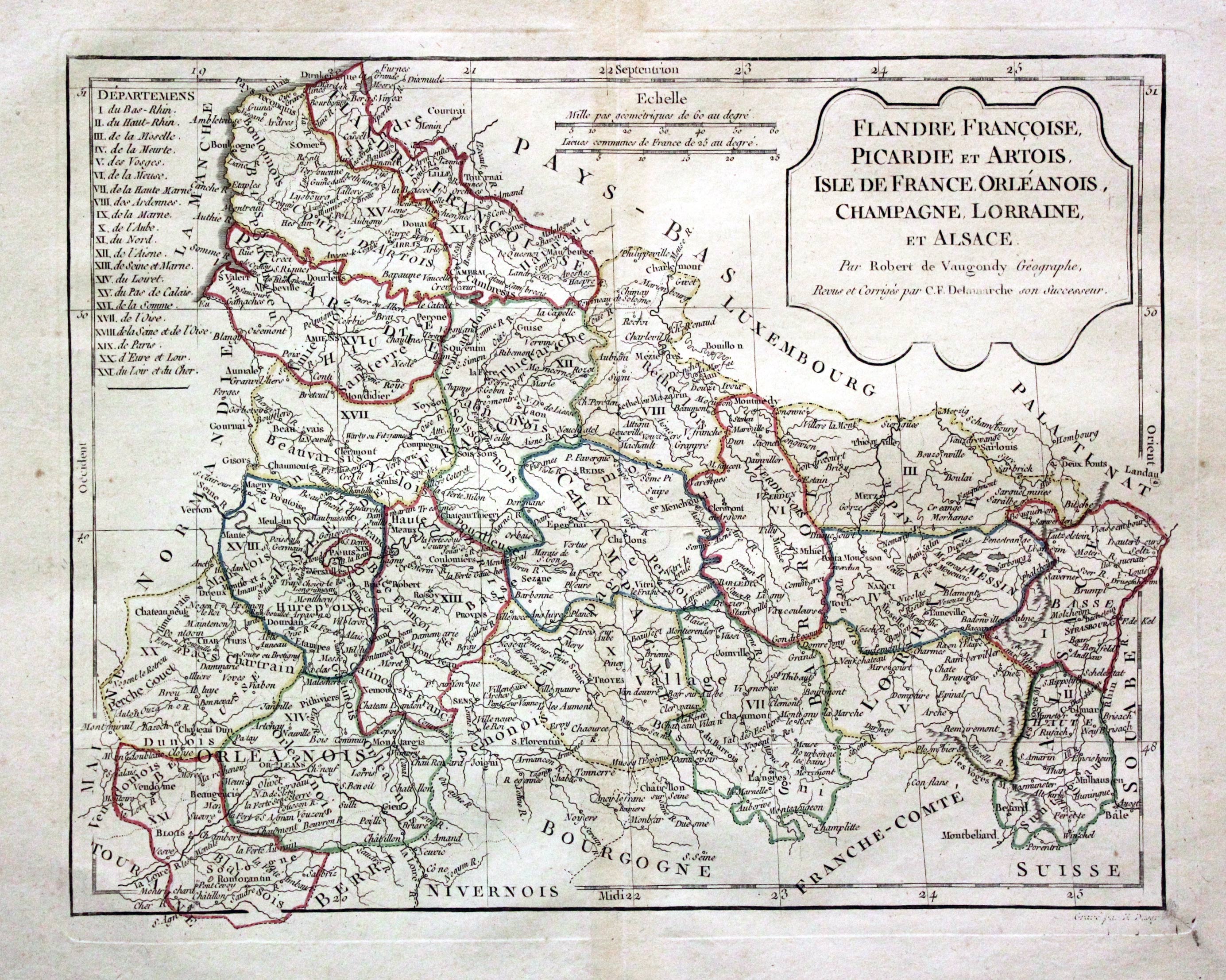
Flanders, Picardy, Isle de France, Robert de Vaugondy / Charles Francois Delamarche, 1812
29718 Flanders, Picardy, Isle de France, Robert de Vaugondy / Charles Francois Delamarche, 1812. Price: 24.00
FLANDRE FRANCOISE, PICARDIE ET ARTOIS, ISLE DE FRANCE, ORLEANOIS, CHAMPAGNE, LORRAINE ET ALSACE. PAR ROBERT DE VAUGONDY GEOGRAPHE CORRIGES PAR C. F. DELAMARCHE SON SUCCESSEUR
A good engraved map of the region with a shaped title panel dated 1806. List of departments and two scales. 12 x 9 1/2 inches. Original outline hand colouring. Good condition. Wide blank margins.
18th Century - Early Hand Colouring
-
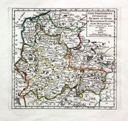
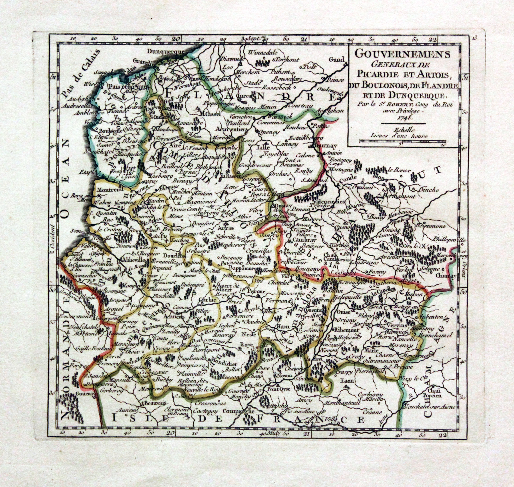
Picardie and Artois, G. Robert de Vaugondy, c.1750
30417 Picardie and Artois, G. Robert de Vaugondy, c.1750. Price: 24.00
GOUVERNEMENS GENERAUX DE PICARDIE ET ARTOIS DU BOULONOIS, DE FLANDRE ET DE DUNQUERQUE.... 1748
An engraved map of the region with a title panel bearing the date of 1748. 6 1/2 x 6 1/4 inches. Original outing hand colouring. Good condition with large blank margins.
18th Century - Sea Chart
-
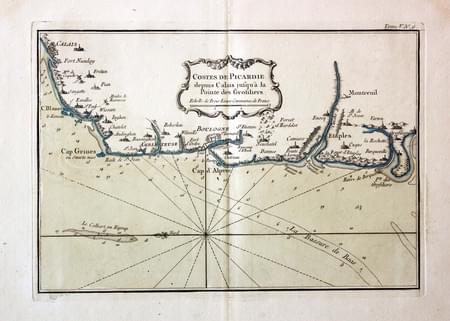
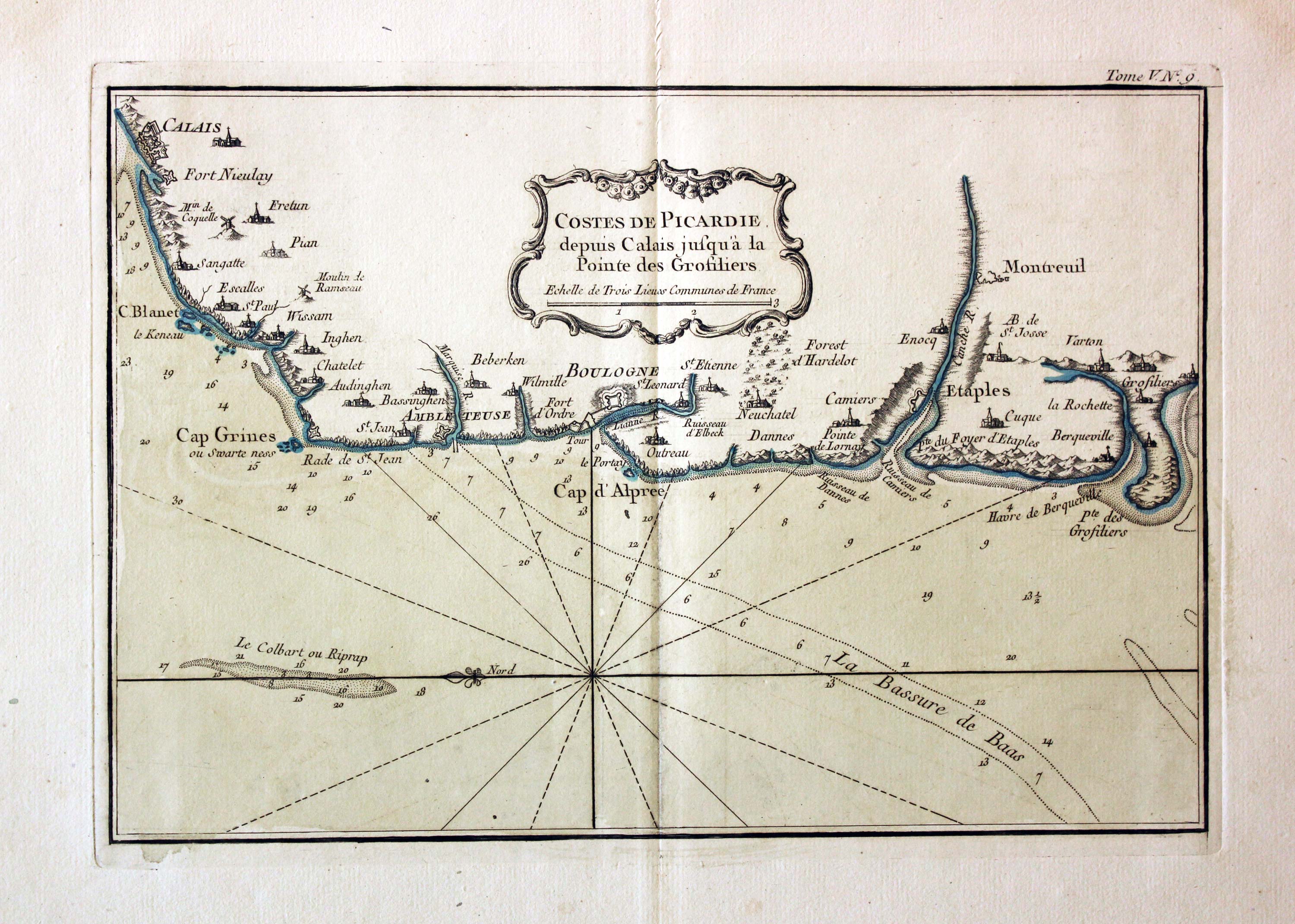
Coast of Picardie, Jacques Nicholas Bellin, 1764
31232 Coast of Picardie, Jacques Nicholas Bellin, 1764. Price: 47.00
COSTES DE PICARDIE DEPUS CALAIS JUSQUA A POINTE DES GROSILIERS
An engraved char showing part of the French coast including Calain and Boulogne. 12 1/4 x 8 1/2 inches. Original blue outline and wash hand colouring. Fine condition.
Map number 9 from Volume 5 of Le Petit Atlas Maritime
17th Century - Early Hand Colouring
-

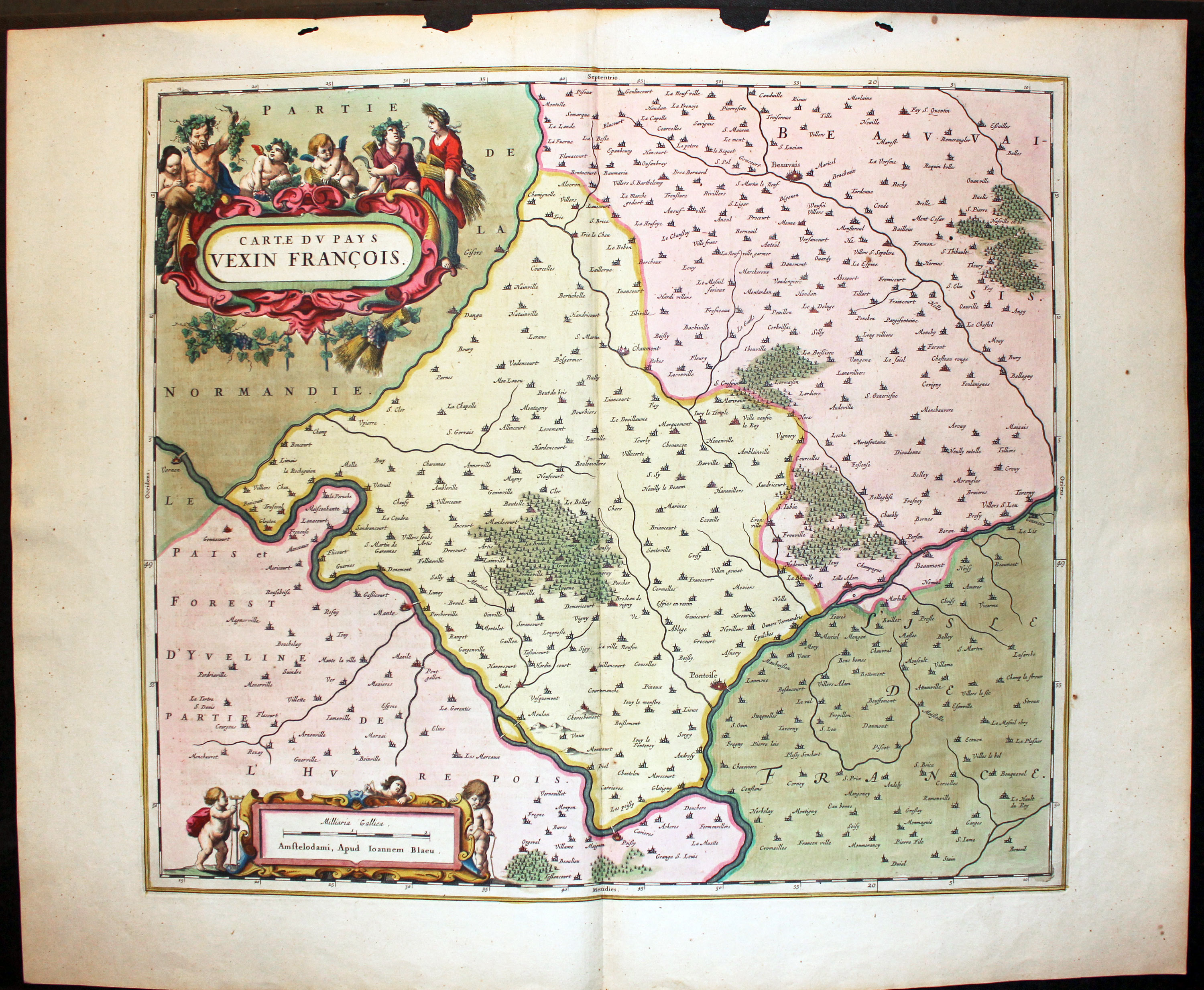
Chaumont-en-Vexin, Joan Blaeu, c.1662
32165 Chaumont-en-Vexin, Joan Blaeu, c.1662. Price: 160.00
CARTE DU PAYS VEXIN FRANCOIS.
A fine 17th century map of the region north of Paris centred on the town of Chaumont-en-Vexin. Other town shown include Poissy, Meulan, Vernon, Beaumont-sur-Pose and Beuvais. Large decorative cartouche with figures. Scale cartouche with putti. 19 3/4 x 17 1/2 inches. SUPERB EARLY HAND COLOURING. Spanish text on verso. Some worming in the top blank margin. I have not trimmed this off so you can see in the map illustration how this could be dealt with by trimming or putting the map in a sunk mount.
