Antique Maps of Africa
by S.D.U.K.
Richard Nicholson of Chester
A World of Antique Maps and Prints
Established in 1961
All the Maps on this page are guaranteed to be genuine early specimens
pubished in or around the year stated
A series of engraved maps published circa 1830 to circa 1850. Each map measures about 15 1/2 x 12 1/2 inches. Some have original outline hand colouring and others are uncoloured.
S.D.U.K Areas
NORTH AFRICA
-
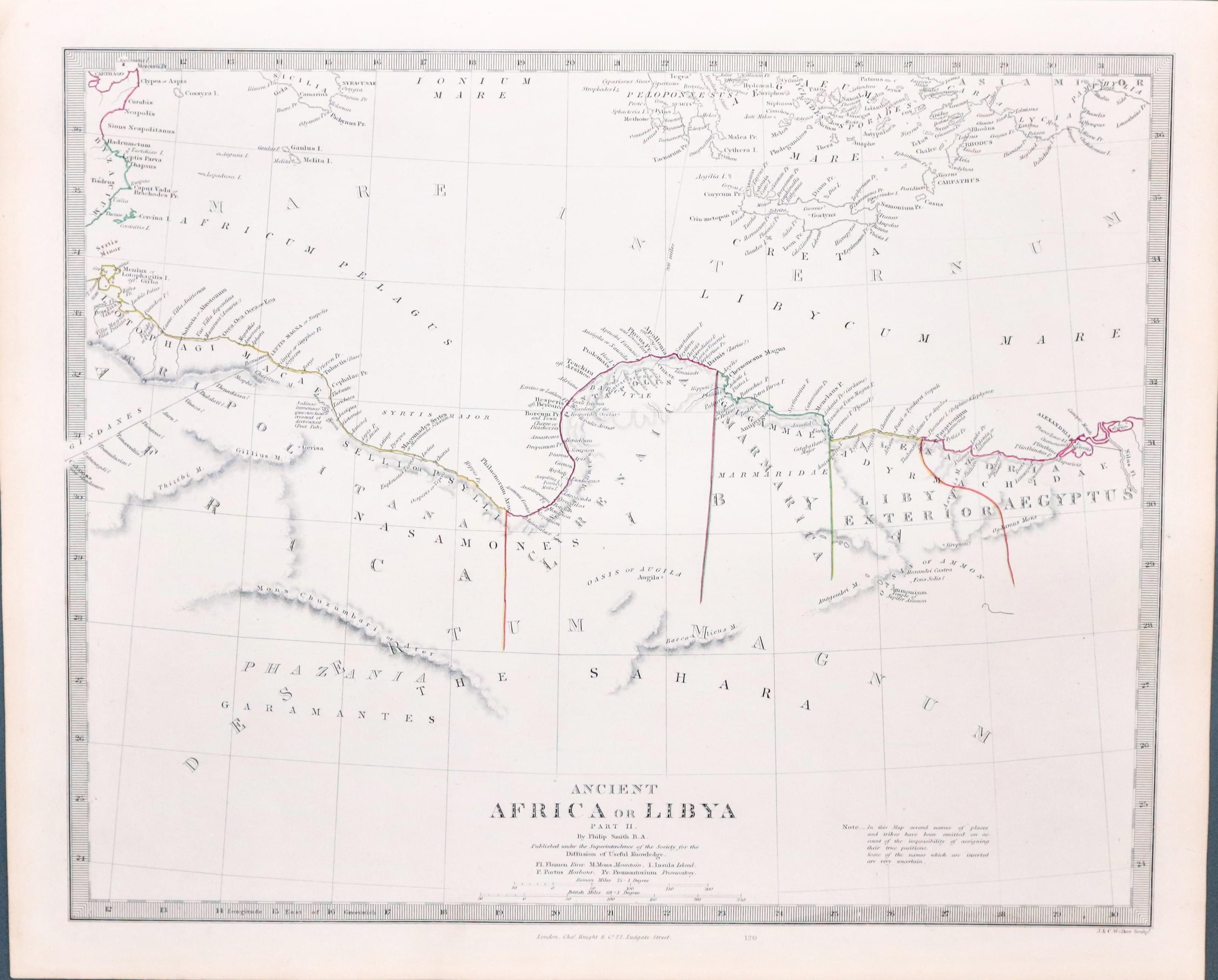
Ancient Libya, SDUK c.1846
20003 Ancient Northern Africa Part II, S.D.U.K. 1846. Price: 35.00
ANCIENT AFRICA OR LIBYA Part II
An interesting engraved map of this part of the north Africa coast with Crete and part of southern Greece. Published by Charleds Knight. 15 1/2 x 12 1/4 inches. Original outline hand colouring. Small tear in the ight hand margin repaired otherwise good condition
Published by the Society for the Diffusion of Useful Knowledge
-
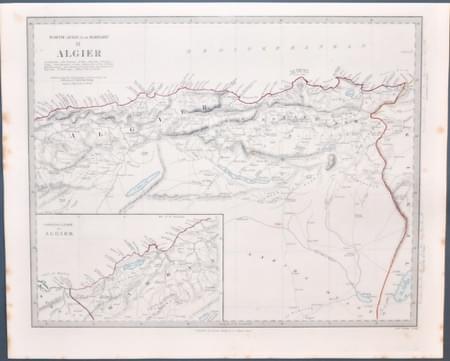
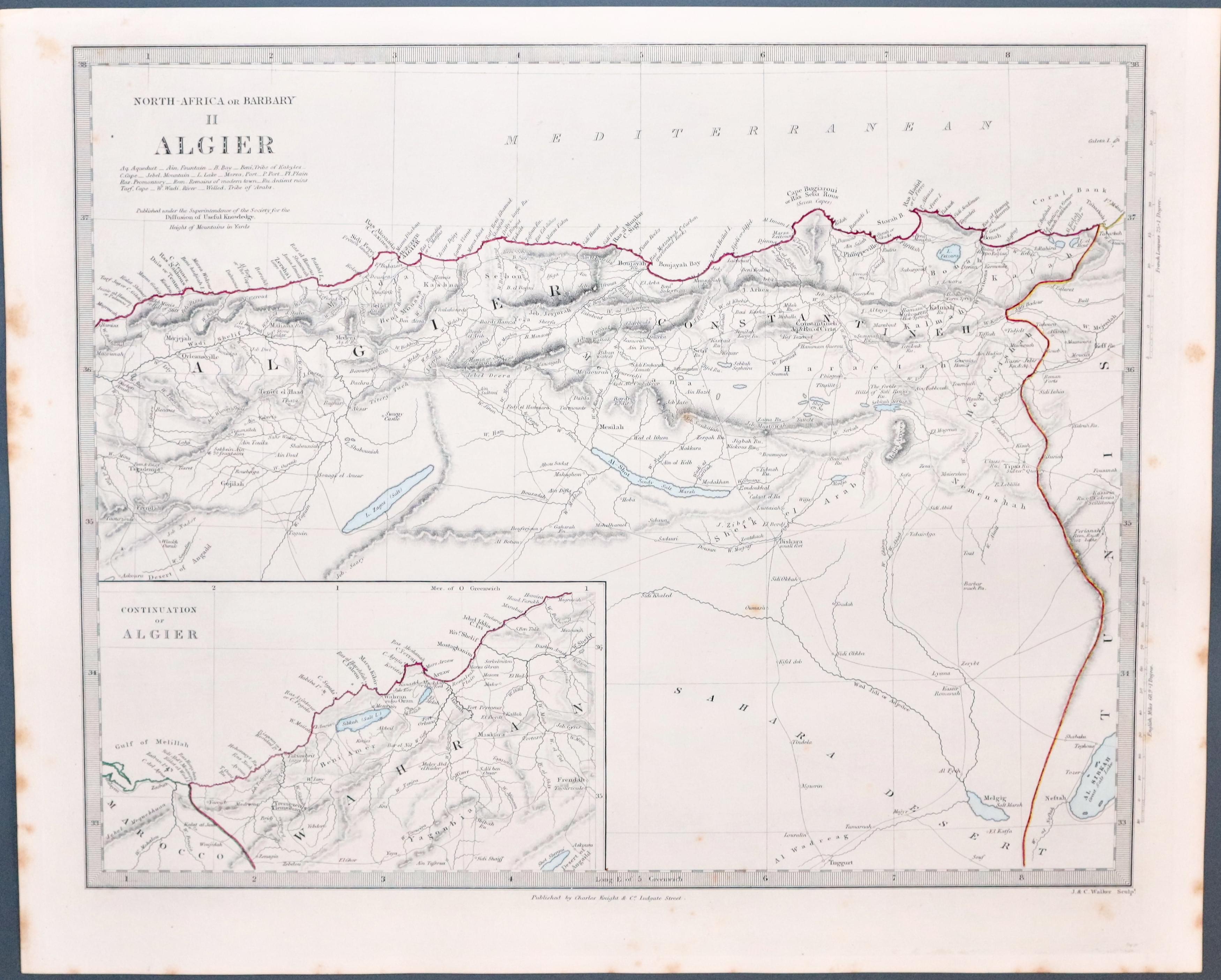
Map of Algeria, SDUK c.1846
20017 Algeria, S.D.U.K. c.1846. Price: 28.00
NORTH AFRICA OR BARBARY II ALGIER
A detailed map of this part of the Northern coast of Africa engraved by J. & Walker. Inset map showing the continuation Algeria. 15 x 12 inches. Original outline and colouring. Some slight foxing to the left and right and blank margins. Otherwise good condition. Published by Charles Knight. Original outline and colouring. Some slight foxing to the left and right and blank margins. Otherwise good condition. Published by Charles Night.
-
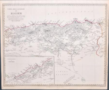
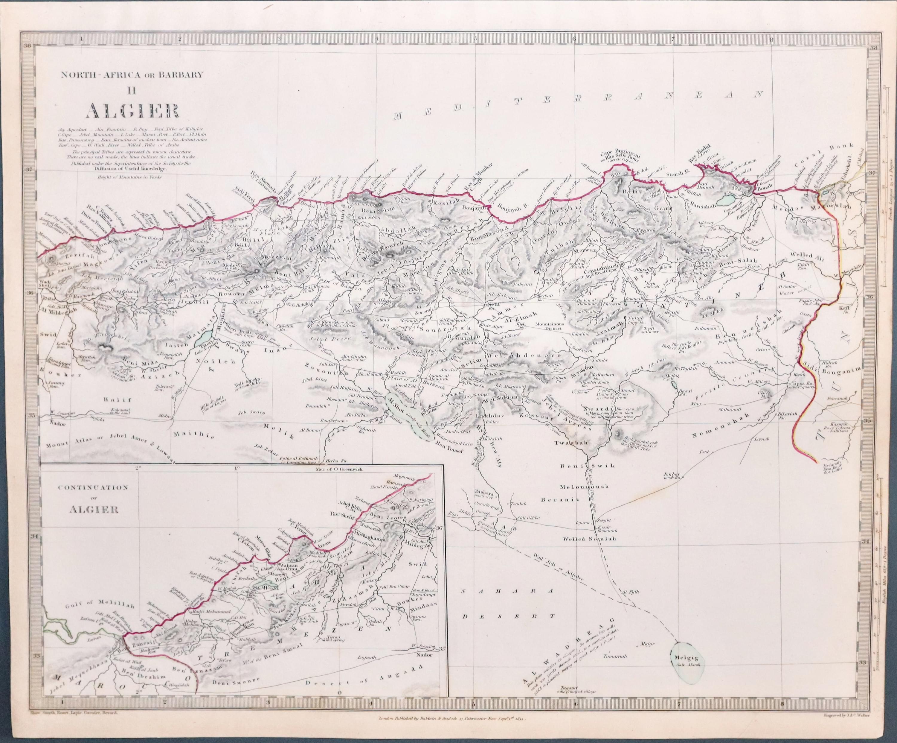
North Africa & Algeria, SDUK 1834
22260 North Africa - Algeria, S.D.U.K. c.1834. Price: 28.00
NORTH AFRICA OR BARBARY II ALGIER
A detailed map of this part of the Northern coast of Africa engraved by J. & Walker. Inset map showing the continuation Algeria. 15 x 12 inches. Original outline and colouring. Some slight foxing to the left and right and blank margins. Otherwise good condition. Published by Baldwin & Craddock and dated 1834. Original outline and colouring. Good condition.
-
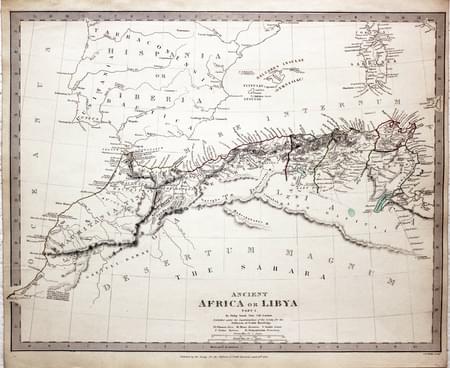
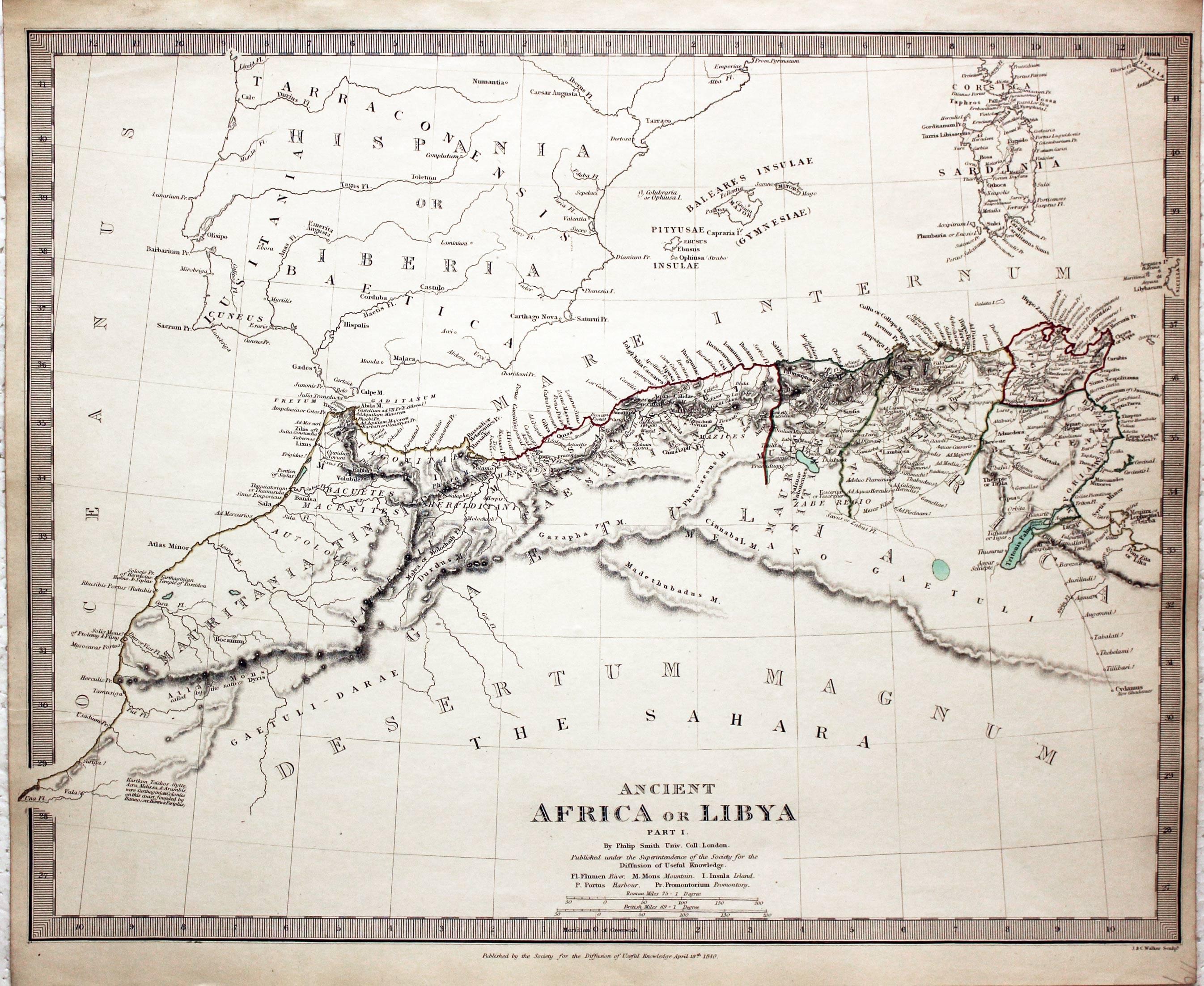
Ancient Africa or Libya Par5 1 SDUK 1840
22263 Ancient Northern Africa Part I, S.D.U.K. 1844. Price: 35.00
ANCIENT AFRICA OR LIBYA Part I
An interesting engraved map of this part of the north Africa coast with Spain, Balearic Islands and Sardinia. Engraved by J. & C. Walker. Dated 1840. 15 1/2 x 12 1/4 inches. Original outline hand colouring. Very good condition.
Published by the Society for the Diffusion of Useful Knowledge
-
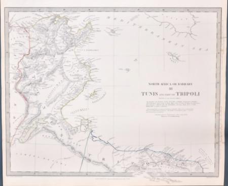
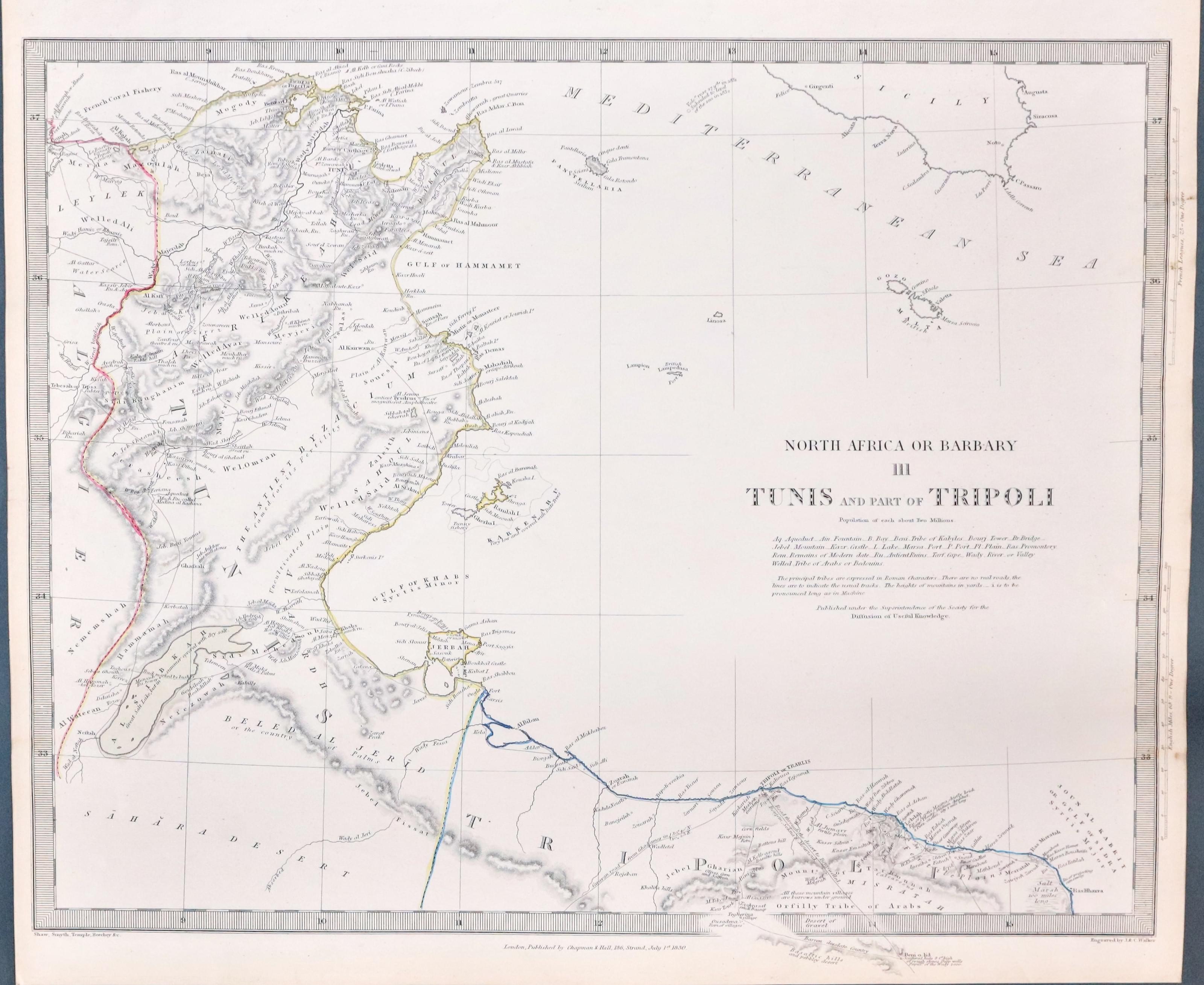
Tunis and Tripoli, SDUK c.1830
23935 Tunis & Tripoli, SDUK. 1830. Price: 35.00
NORTH AFRICA OR BARBARY III TUNIS AND PART OF TRIPOLI
A detailed engraved map of this part of the North African coast engraved by J. & C. Walker. 15 1/2 x 12 1/4 inches. Piublished by Chapman & Hall and dated 1830. Original outline hand colouring. Plain on verso. Good condition
Published by the Society for the Diffusion of Useful Knowledge
-
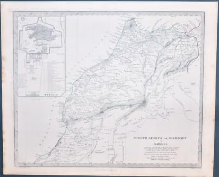
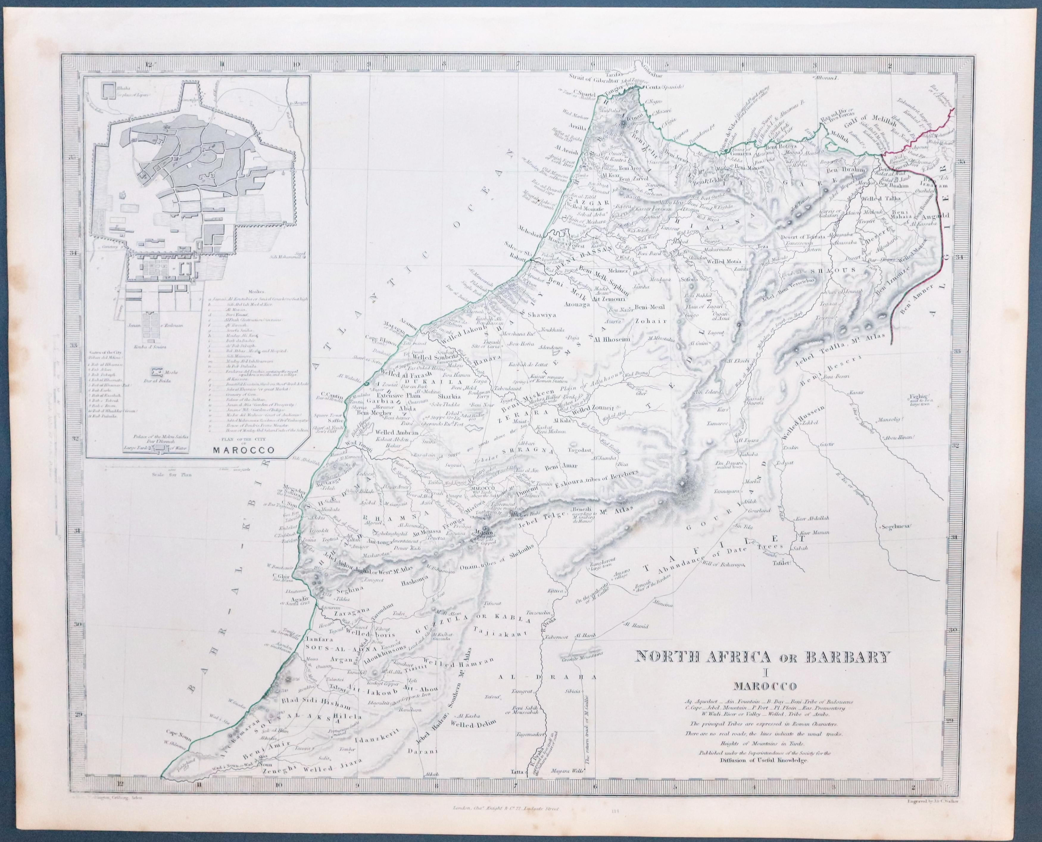
North Africa & Morocco, S.D.U.K. c.1846
29302 Morocco, S.D.U.K. c.1836. Price: 31.00
NORTH AFRICA OR BARBARY I MAROCCO
Detailed map of Morocco engraved by J. & C. Walker with an inset town plan. Published by Charles Knight. 15 1/4 x 12 1/2 inches. Uncoloured. Plain on verso. A little light Browning in the left and right hand blank margins, otherwise good condition.
Published by the Society for the Diffusion of Useful Knowledge
EGYPT
-

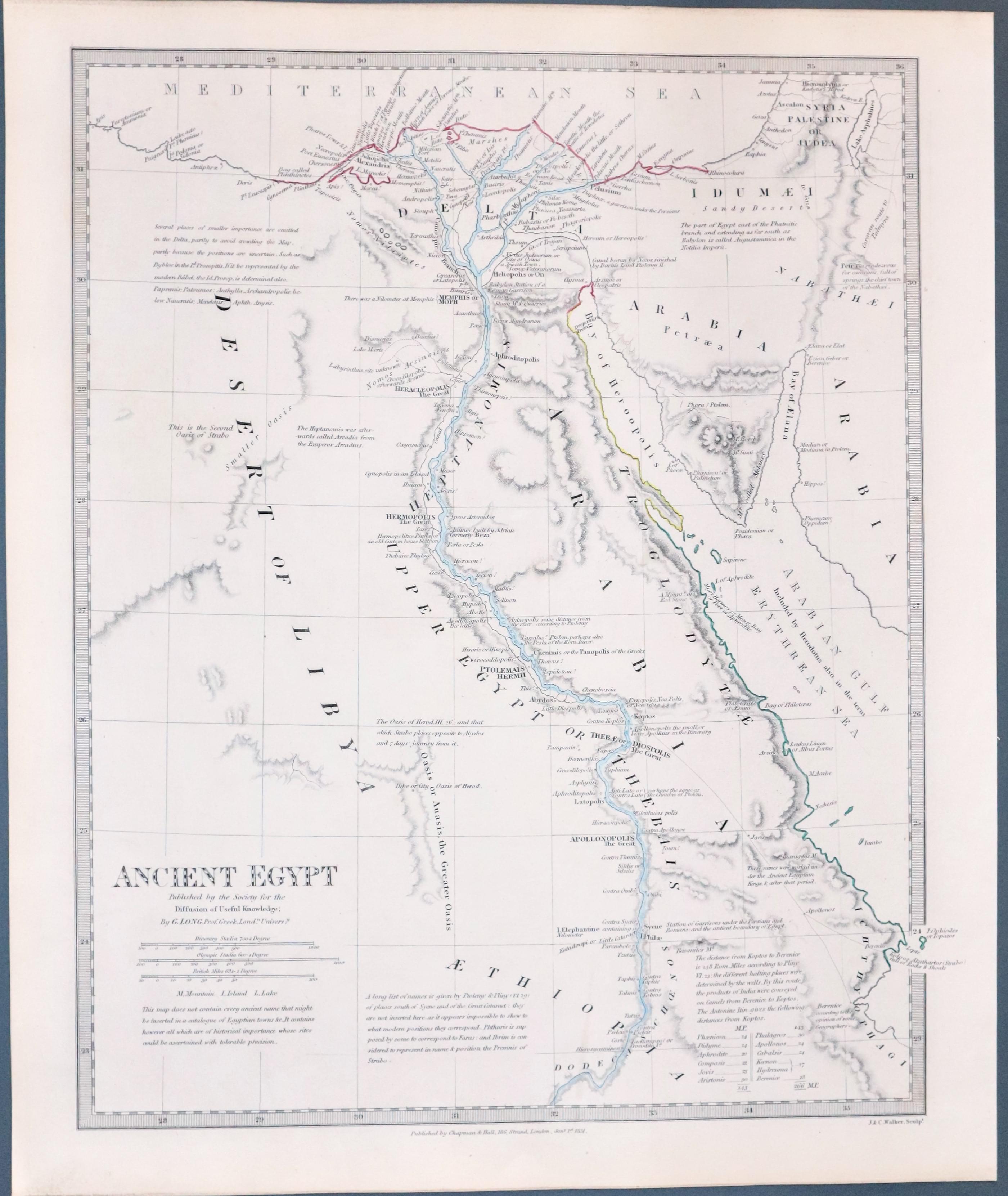
Egypt, S.D.U.K. c.1846
22803 Ancient Egypt, S.D.U.K. c.1834. Price: 42.00
ANCIENT EGYPT
An interesting map engraved by J. & C. Walker taken from the work by Professor G. Long of London University. 11 1/2 x 14 1/2 inches. Original outline hand colouring. Published by Chapman & Hall and dated 1834. Good clean undamaged condition.
Published by the Society for the Diffusion of Useful Knowledge

