Antique Maps of Spain
Richard Nicholson of Chester
A World of Antique Maps and Prints
Established in 1961
All the Maps on this page are guaranteed to be genuine early specimens
pubished in or around the year stated
SPAIN and PORTUGAL
17th Century Miniature
-
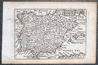
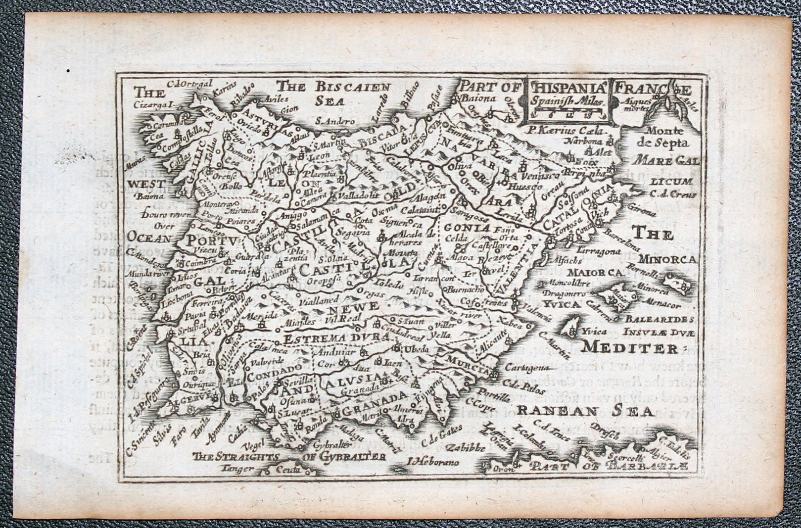
Saoin and Portugal, Pieter van den Keere 1666
22164 Spain and Portugal, Pieter van den Keere, 1666. Price: 80.00
HISPANIA
A miniature engraved map of Iberian peninsular with Balearic Islands. 4 3/4 x 3 1/4 inches. Description of Spain in English on verso. Uncoloured. Good clean undamaged condition. This map has come straight from the atlas and therefore not been sold as a single map before.
From: A Prospect of the Most Famous Parts of the World published by Roger Rea
With this map are the original 8 pages of text that continue the description of Spain
18th Century Sea Chart
-

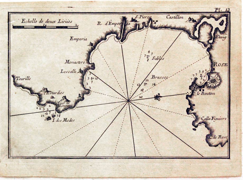
Gulf de Rosa, Joseph Roux, 1764
27865 Gulf de Rosa, Joseph Roux, 1764. Price: 45.00
ROSE
A small engraved chart showing the Gulf of Rosas with the towns of Rosa, Castillon and Tourille. Scale, depth soundings and anchorage points.. 7 1/2 x 5 inches. Uncoloured. Good condition.
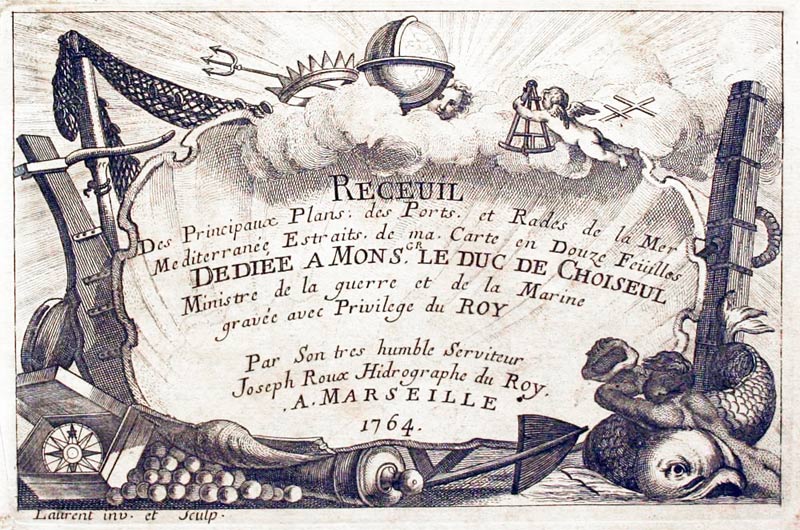
Plate 13 From: Receuil Des Principaux Plans; des Ports, et Rades de la Mer Mediterranée, Estraits, de ma. Carte Douze Feüilles.... Marselle 1764
18th Century Sea Chart
-
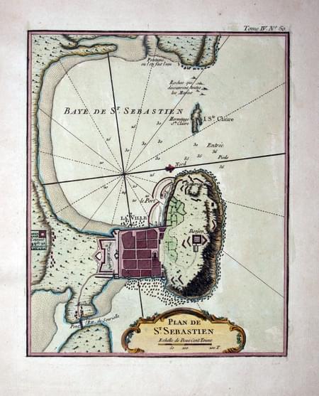
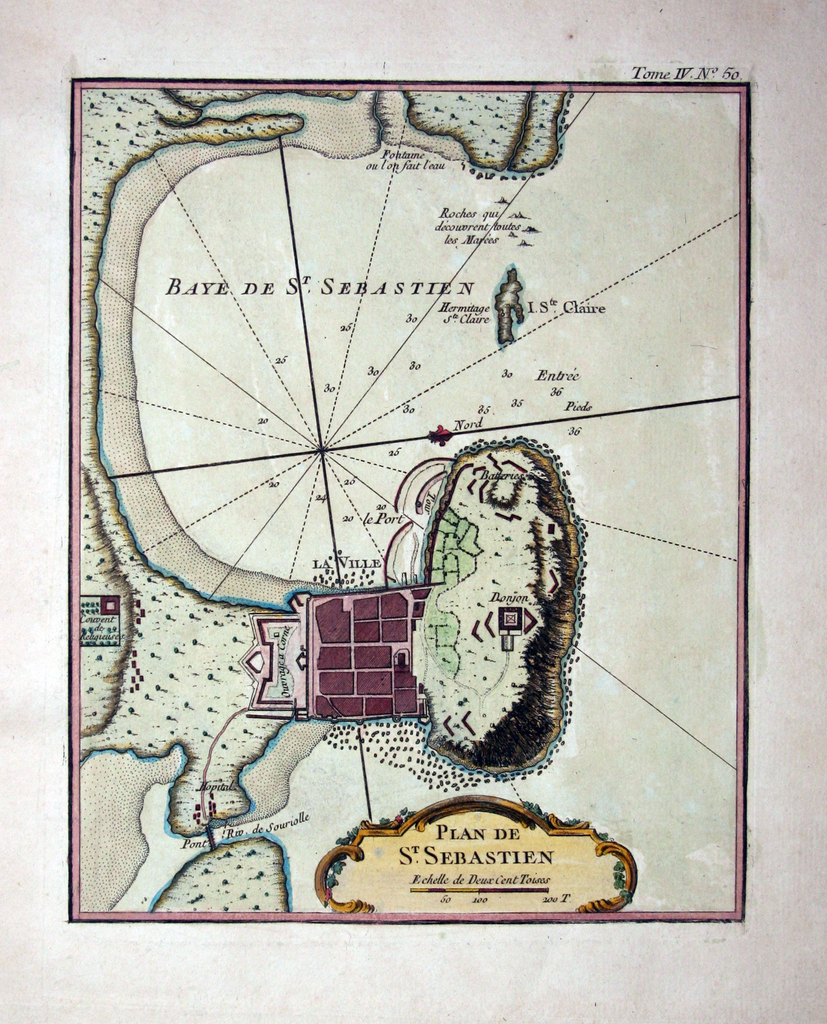
San Sebastian, Jacques Nicolas Bellin, 1764
29039 San Sebastian, Jacques Nicolas Bellin, 1764. Price: 49.00
ST SEBASTIAN
An engraved chart showing the bay and town of San Sebastian with the island of St. Clara. Embellished with a rococo cartouche displaying the title and scale. 7 x 8 3/4 inches. Hand coloured. Good condition.
From: Le Petit Atlas Maritime Volume 4 Map number 50
19th Century - Early Hand Colouring
-
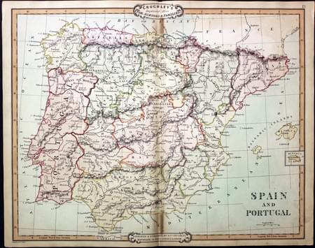
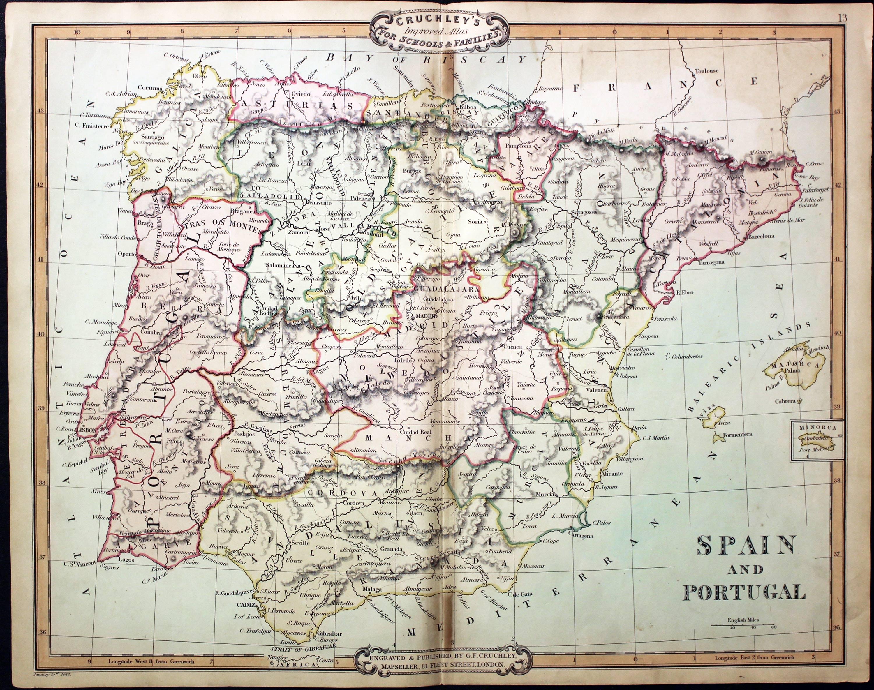
Spain and Portugal, George Frederick Cruchley, 1848
31520 Spain and Portugal, George Frederick Cruchley, 1848. Price: 44.00
SPAIN AND PORTUGAL
A clearly engraved map bearing the imprint January 15th 1842. Publishers rococo cartouche inscribed Cruchley’s Improved Atlas, for Schools & Families. 17 1/4 x 13 3/4 inches. Original outline and wash hand colouring. Very small split at the bottom of the centre fold and two small areas of browning in the centre fold. Otherwise good condition.
From: Cruchley’s General Atlas for the use of Schools and Private Tuition
17th Century
-

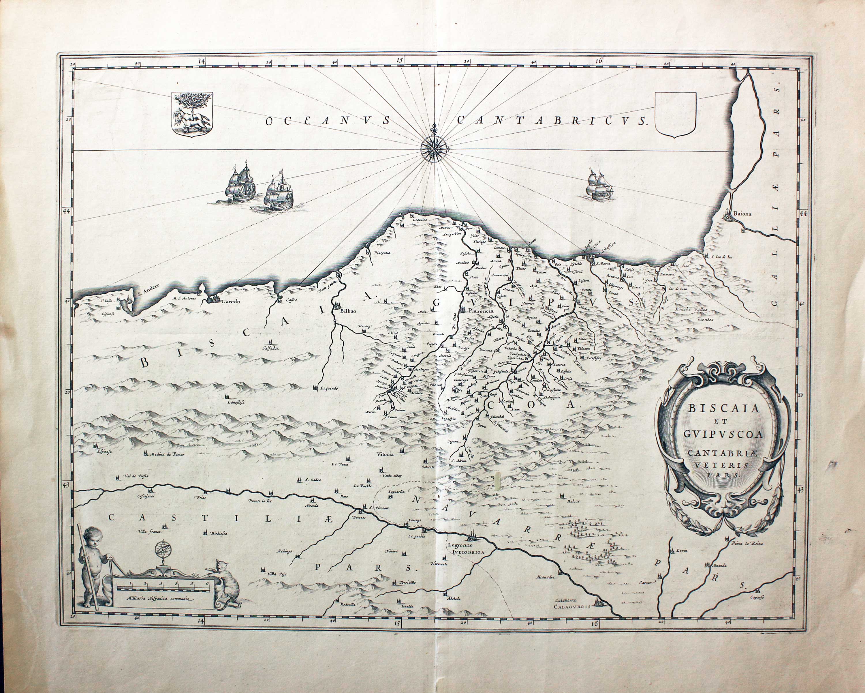
Basque region of Spain, William Blaeu c.1645
31751 Basque Region, William Blaeu, c.1645 Price: 150.00
BISCAIA ET GUIPUSCOA CANTABRIAE VETERIS PARS
A good engraved map of the Basque area of northern Spain including the towns of Bilbao, Laredo and San Sebastian. Decorative title and scale cartouches. Three ships, two compass roses and coat of arms. 19 1/4 x 15 inches, 490 x 380 mm. French text on verso. Uncoloured. Original centre fold. Small area of thining paper in right hand blank margin. Small slit at the bottom of the centre fold in blank margin area otherwise good condition.
16th Century
-
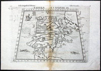
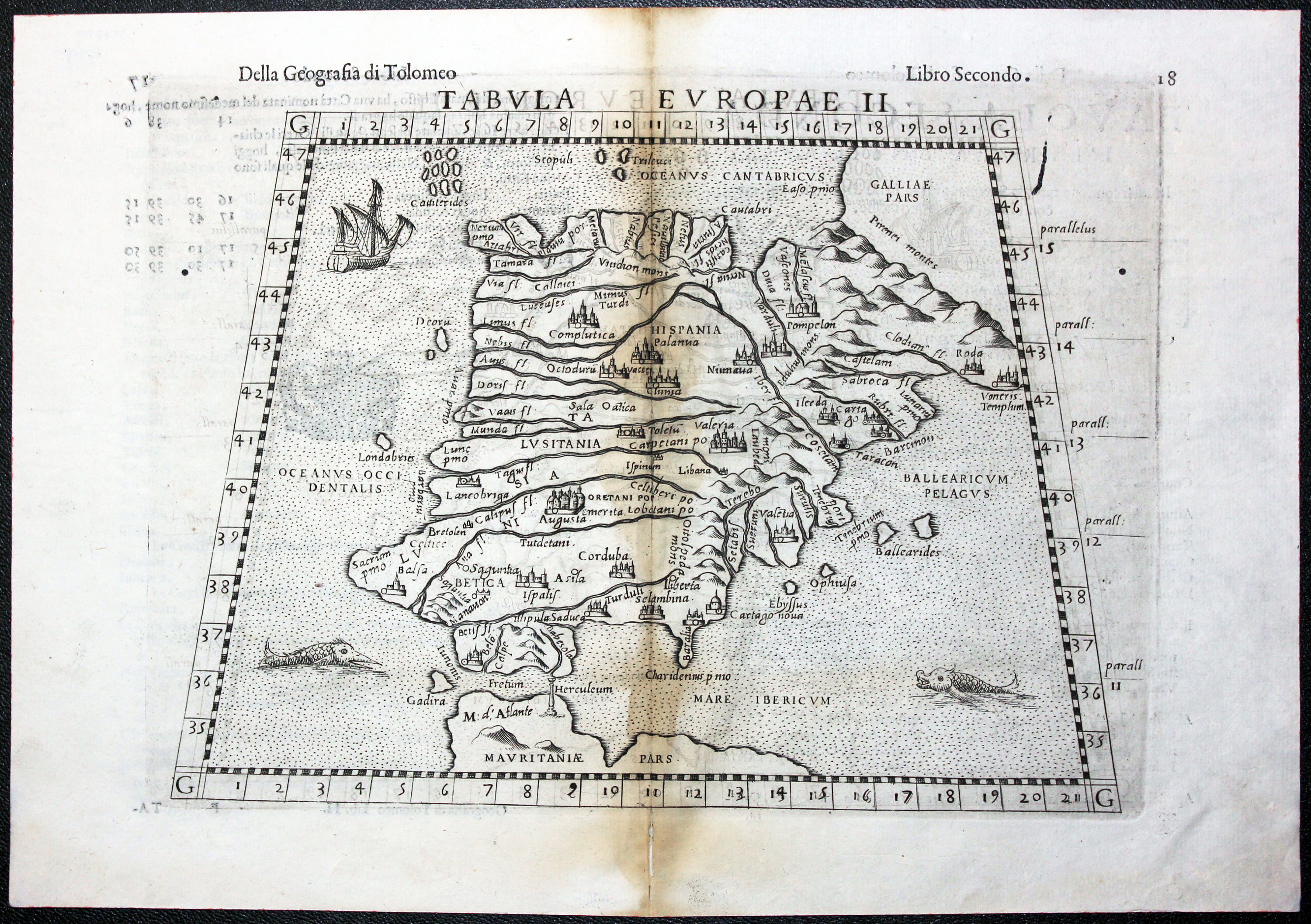
Spain and Portugal Girolomo Ruscelli 1599
32284 Spain and Portugal, Girolomo Ruscelli, 1599. Price: 140.00
TABULA EUROPAE II
An interesting early map of Spain and Portugal showing a single sailing ship and two sea monsters. Original centre fold. Uncoloured. Some browning in the centre fold. Single small worm hole in the left hand blank margin with a matching hole in the right hand blank margin. Above the right hand worm hole is a another vertical worm hole 1/2 inch long. None of the worm holes in a printed area. Size of the map is about 8 3/4 x 7 inches.
From the sixth edition of Ruscelli's translation of Ptolemy's Geografia edited and extended by Giuseppe Rosaccio published by the Heirs of Melchior Sessa in 1599.
ANALUSIA
16th Century Town Plan - Early Hand Colourng
-
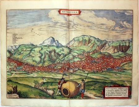
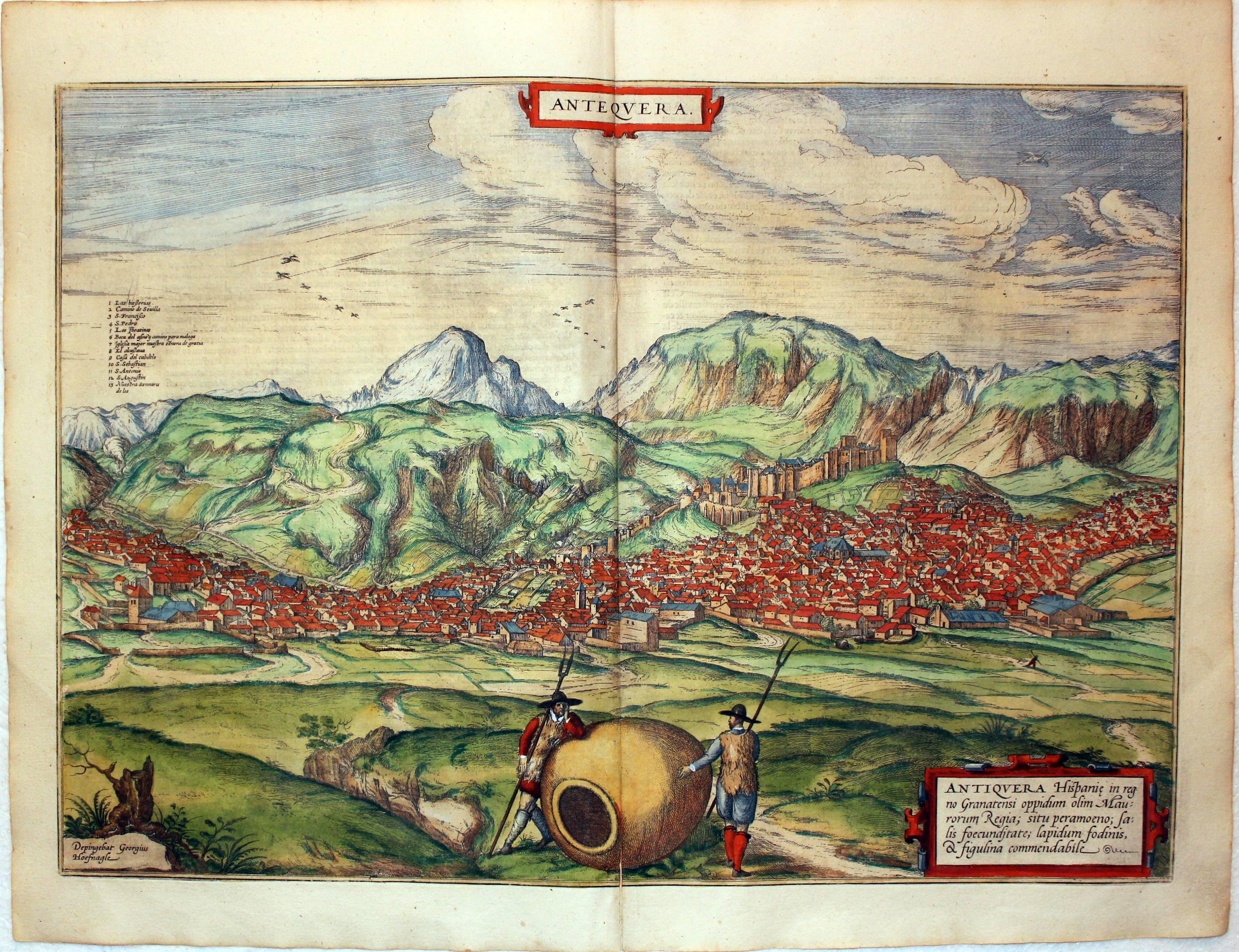
Antequera, Malaga. Georg Braun & Franz Hogenberg, circa 1600
27129 Antequera, Malaga. Georg Braun & Franz Hogenberg, circa 1600. Price: 340.00
ANTEQUERA
A superb 16th century bird's eye view of the town of Antequera situated north east of Malaga. Two title cartouches. The name of the artist Georg Hoefnagel s shown beneath the roots of a tree stump. Key to 13 places. 19 1/2 x 13 3/4 inches. French text on verso. SUPERB EARLY HAND COLOURING. Split at the bottom of the centre fold otherwise good clean condition.
From: Civitates Orbis Terrarum
Spain & West Mediterrean
-
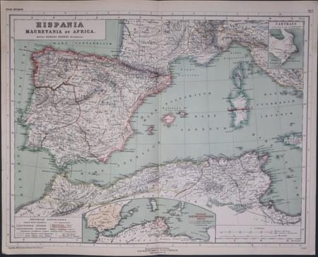
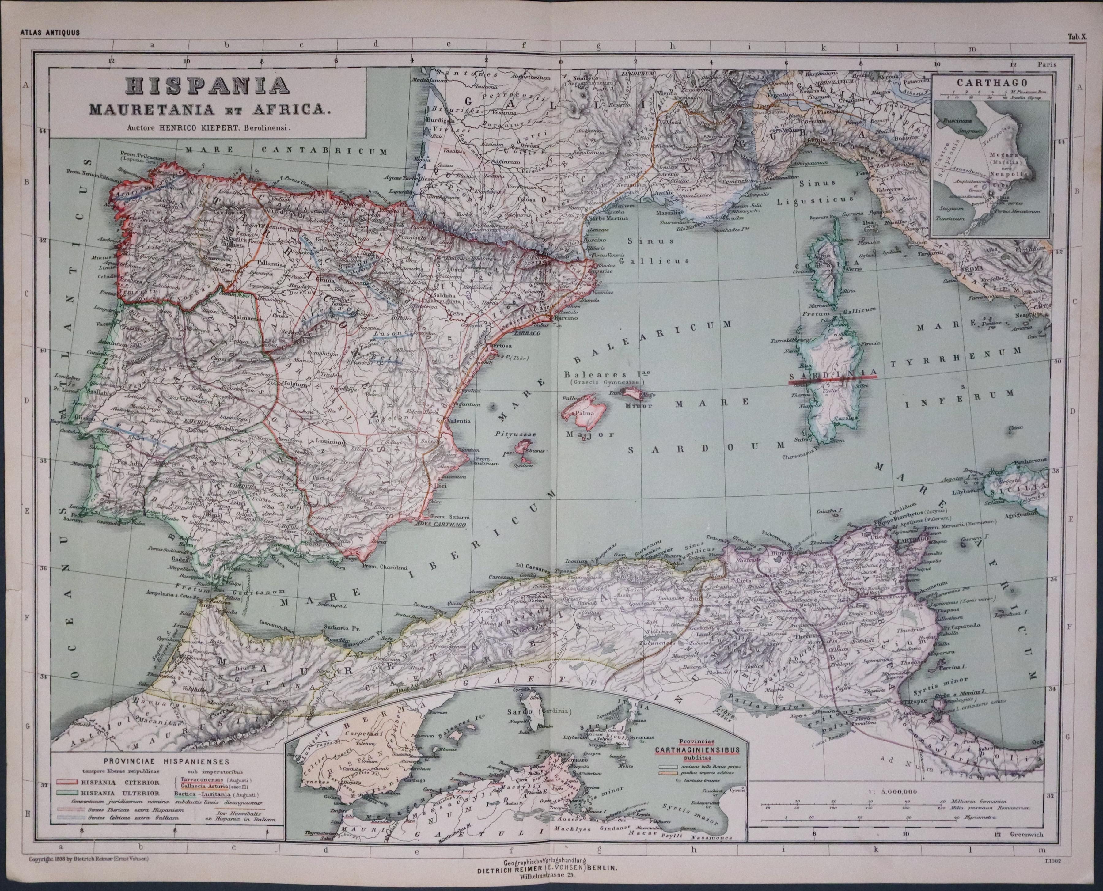
Span & North Africa, Dr. Henry Kiepert
27150 Spain, Africa and Mediterranean, Dr. Henry Kiepert, c.1902. 22.00
HISPANIA MAUETANIA ET AFRICA
A lithograph map showing Portugal, Spain, part of NotherN Africa and part of the Western Mediterranean in ancient times. Inset map. 17 x 13 inches inches. Original centre fold. Good condition.
From: Atlas Antiquus published in Berlin
Part of Europe by a German Mapmaker
-

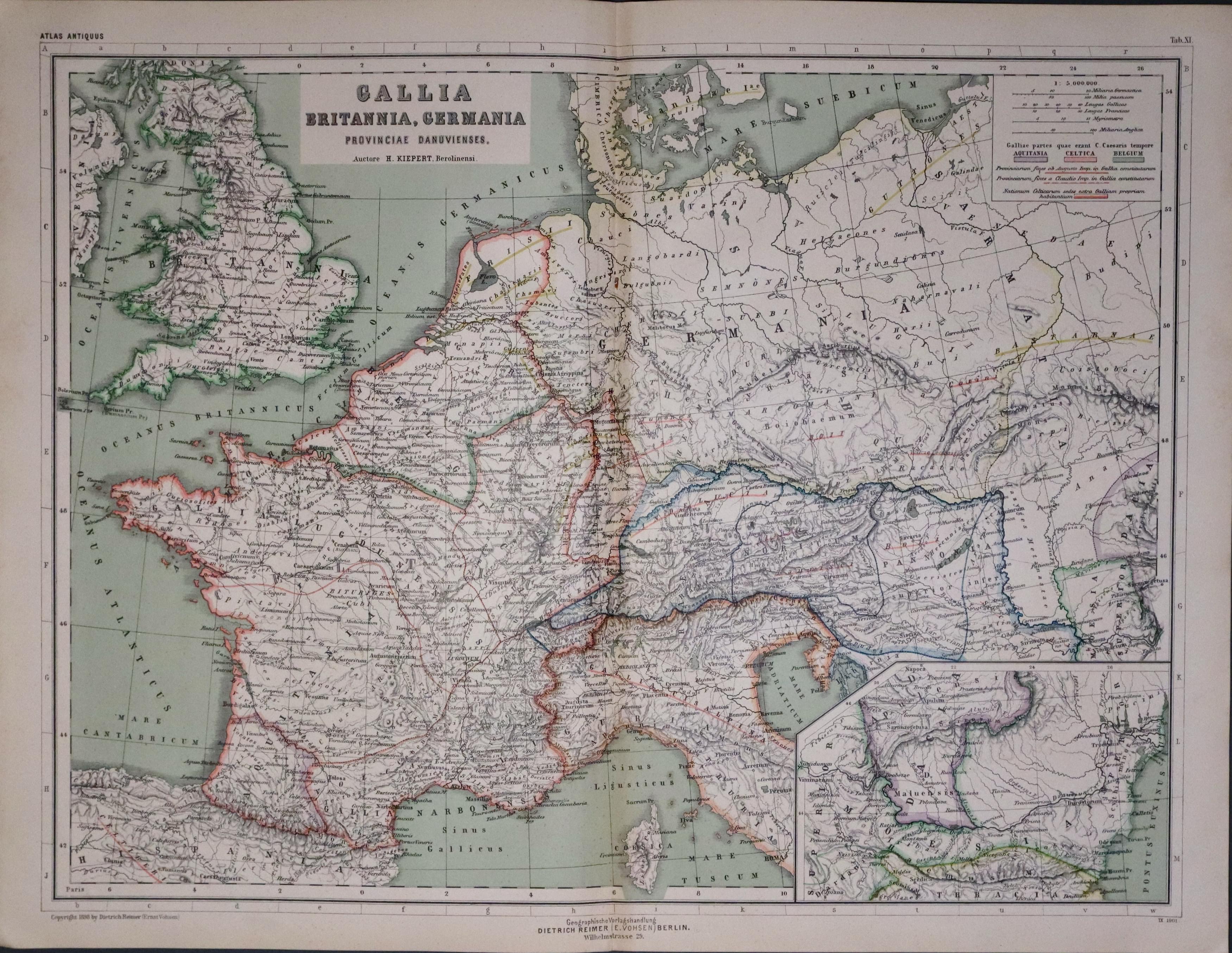
England, France & Germany by Dr. Henry Kiepert c.1902
33451 England, France & Germany, Dr. Henry Kiepert, c.1902. Price: 20.00
GALLIA BRITANNIA, GERMANIA
A lithograph map showing England, France and Germany in ancient times. Inset map. 17 x 13 inches inches. Original centre fold. Good condition.
From: Atlas Antiquus published in Berlin
17th Century
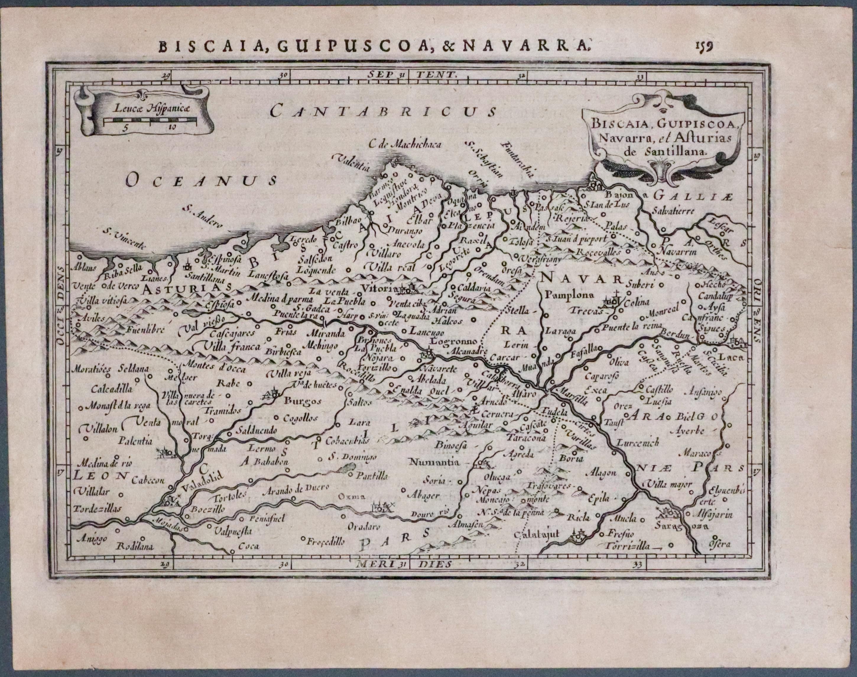
33533 Asturias & Navarra, Mercator/Hondius, 1635. Price: 49.00
BISCAIA, GUIPISCOA, NAVARRA, ET ASTURIAS DE SANTILLANA
A small early engraved map showing part of the northern coast of Spain with the Bay of Biscay, Asturias, Cantabria and Navarra. The title and scales are each displayed within decorative cartouches. 7 1/2 x 5 1/4 inches. Uncoloured. Latin text on verso. Lightly toned. Good condition with no tears or repairs.
From: Atlas Minor
BALEARIC ISLANDS
18th Century - Sea Chart
-

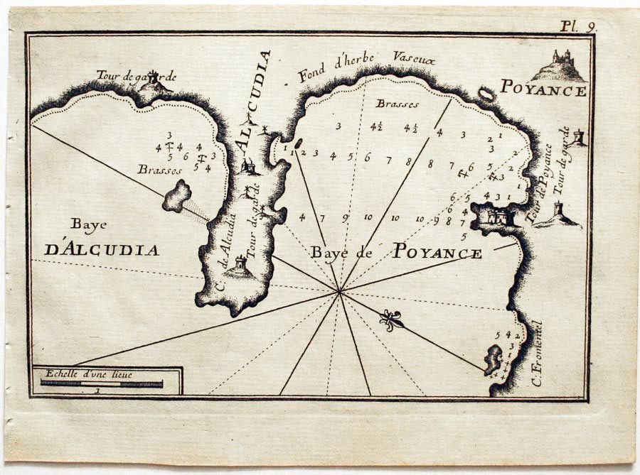
Bays of Alcudia and Pollenca, Joseph Roux, 1764
27861 Bays of Alcudia and Pollenca, Joseph Roux, 1764. Price: 55.00
Baye d’Alcudia / Baye de Poyance
A small engraved chart with scale. 7 1/2 x 5 inches. Uncoloured. Good condition.
Plate 9 From: Receuil Des Principaux Plans; des Ports, et Rades de la Mer Mediterranée, Estraits, de ma. Carte Douze Feüilles.... Marselle 1764
18th Century - Sea Chart
-

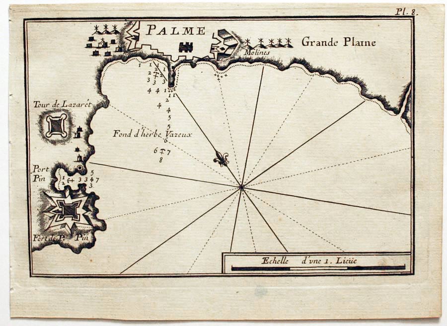
Palma, Joseph Roux, 1764
27860 Palma, Joseph Roux, 1764. Price: 65.00
PALME.
A small engraved chart with scale showing Palma. 7 1/2 x 5 inches. Uncoloured. Good condition.
Plate 8 From Receuil Des Principaux Plans; des Ports, et Rades de la Mer Mediterranée, Estraits, de ma. Carte Douze Feüilles.... Marselle 1764
18th Century - Sea Chart
-

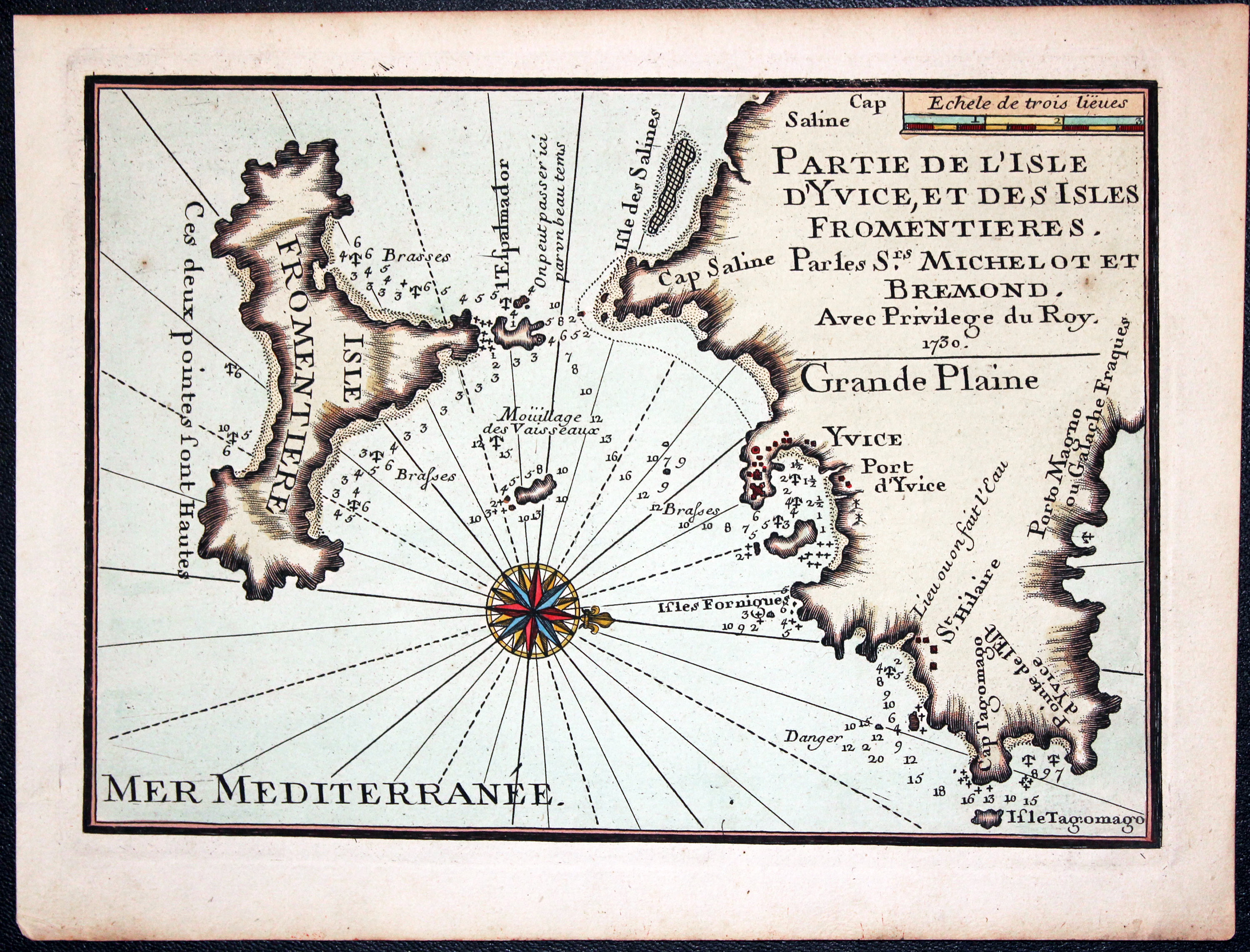
Ibiza and Formentara H. Michelot and L. Bremond c.1730
32288 Ibiza and Formentara, H. Michelot and L. Bremond, c.1730. Price: 145.00
PARTIE DE L’ISLE D’YVICE, ET DES ISLES FROMENTIERES.. 1730
An interesting chart of orientated with west at the top showing the southern part of Ibiza with Ibiza town plus the offshore island of Formentara, the smallest island of Spain’s Balearic islands. Compass rose and scale. 9 3/4 x 7 inches.
From: Recueil de Plusieurs Plans des Ports et Rades de la Mediterrane
CASTILE
Early 17th Century
-
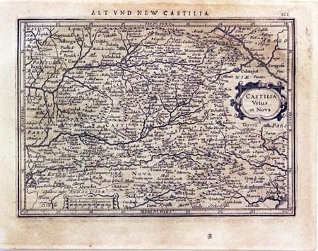
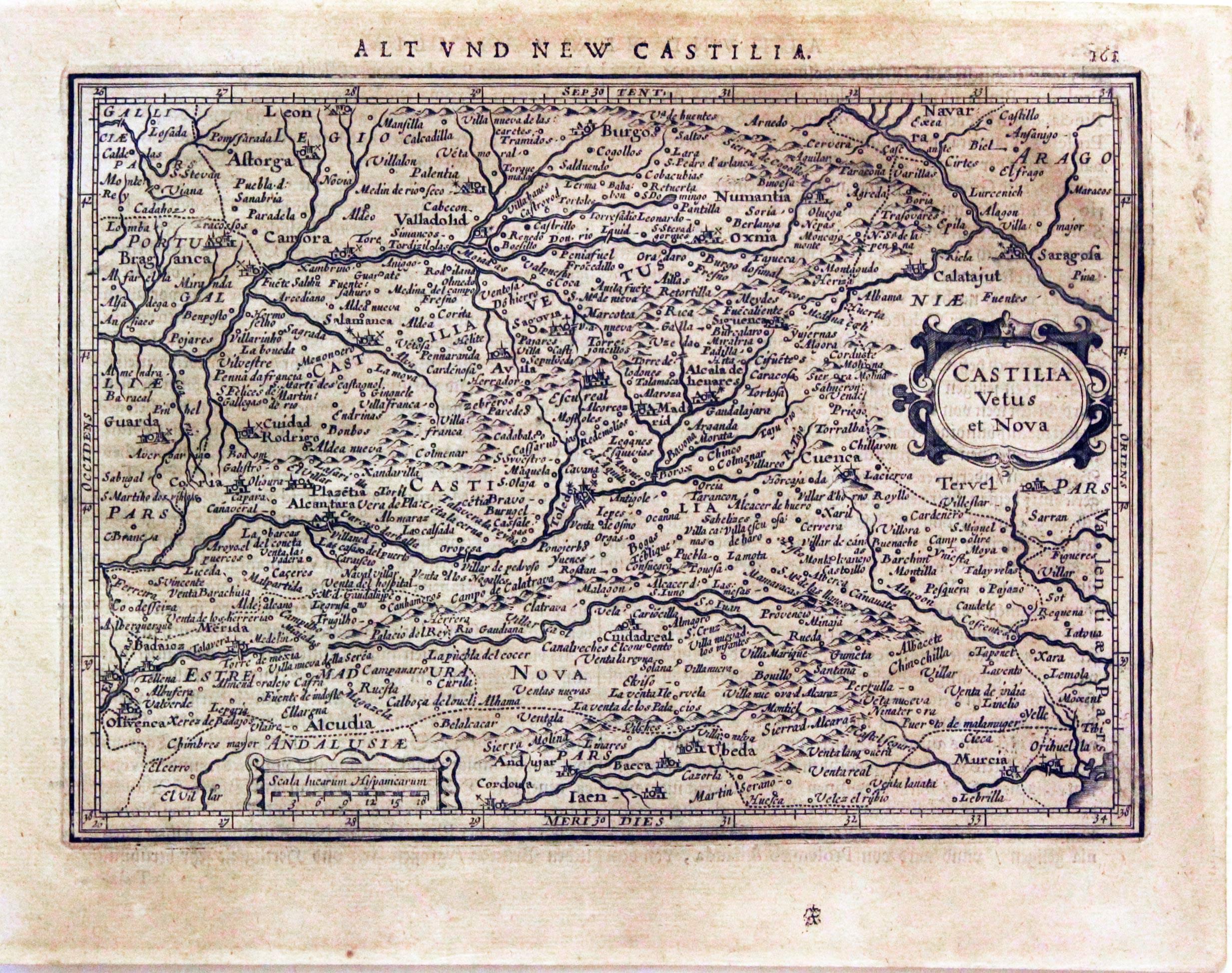
Castile, Mercator / Jansson, c.1636
23564 Castile, Mercator / Jansson, c.1636. Price: 43.00
CASTILIA VETUS ET NOVA
A small early engraved map of the region. Cartouches. 7 1/2 x 5 1/2 inches. German text on verso. Medium even browning all over, otherwise good condition.
From: Atlas Minor
18th Century - Early Hand Colouring
-

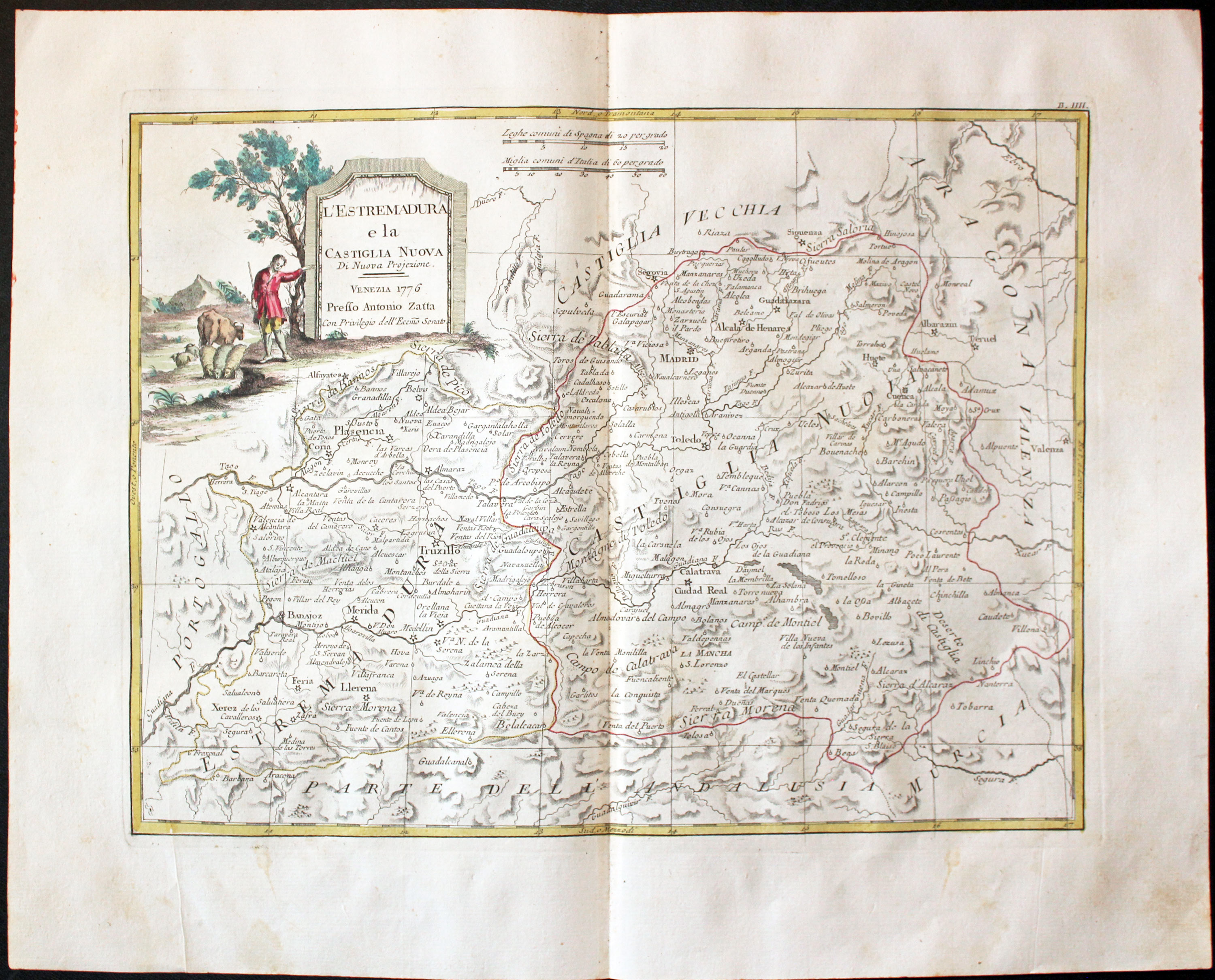
Central Spain, Antonio Zatta 1777
32226 Central Spain, Antonio Zatta, c.1777. Price: 87.00
L’ESTREMADURA E LA CASTIGLIA NUOVA
An engraved map showing an area of central Spain including the cities of Madrid and Toledo. It extends westwardds to show part of the border with Portugal. Original eatly hand colouring. Minute repair in the centre fold, otherwise good clean crisp condition.
From: Atlante Veneto
CATALONIA
18th Century Sea Chart
-

Rosa, Spain, Joseph Roux, 1764
27865 Rosa, Joseph Roux, 1764. Price: 44.00
ROSE
A small engraved chart showing the Gulf de Roses with the towns of Rosa, Castillon and Tourille. Scale, depth soundings and anchorage points.. 7 1/2 x 5 inches. Uncoloured. Good condition.
Plate 13 From Receuil Des Principaux Plans; des Ports, et Rades de la Mer Mediterranée, Estraits, de ma. Carte Douze Feüilles.... Marselle 1764
18th Century Sea Chart
-

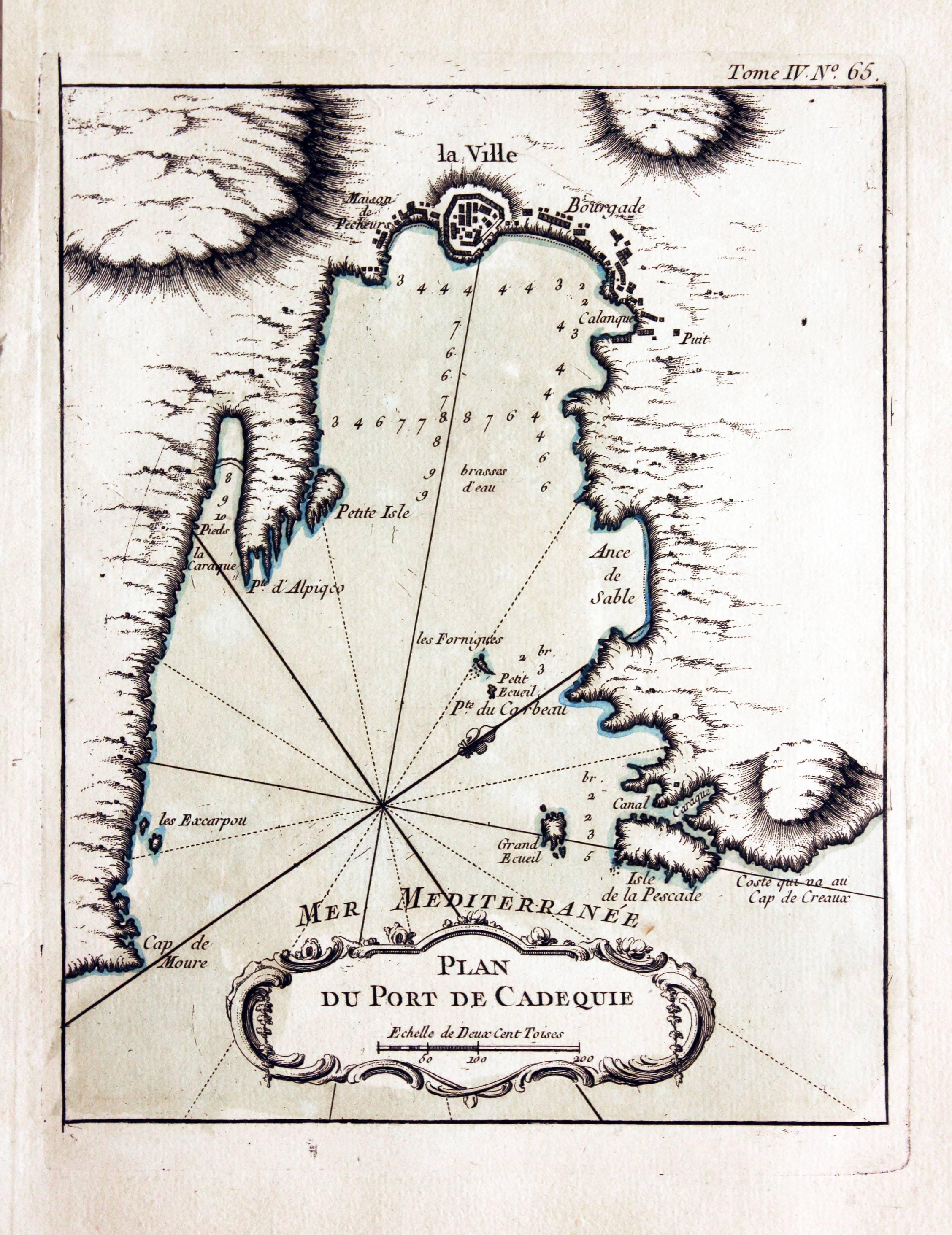
Cadeques, Jacques Nicolas Bellin, 1764
28077 Cadeques, Jacques Nicolas Bellin, 1764. Price: 47.00
PLAN DU PORT DE CADEQUIE
An engraved chart showing the bay and town of Cadeques embellished with an uncoloured rococo cartouche displaying the title and scale. 6 3/4 x 8 1/2 inches. Original blue outline and wash colouring. Good condition.
From: Le Petit Atlas Maritime Volume 4 Map number 65
GRANADA
16th Century - Town Plan - Early Hand Colouring
-

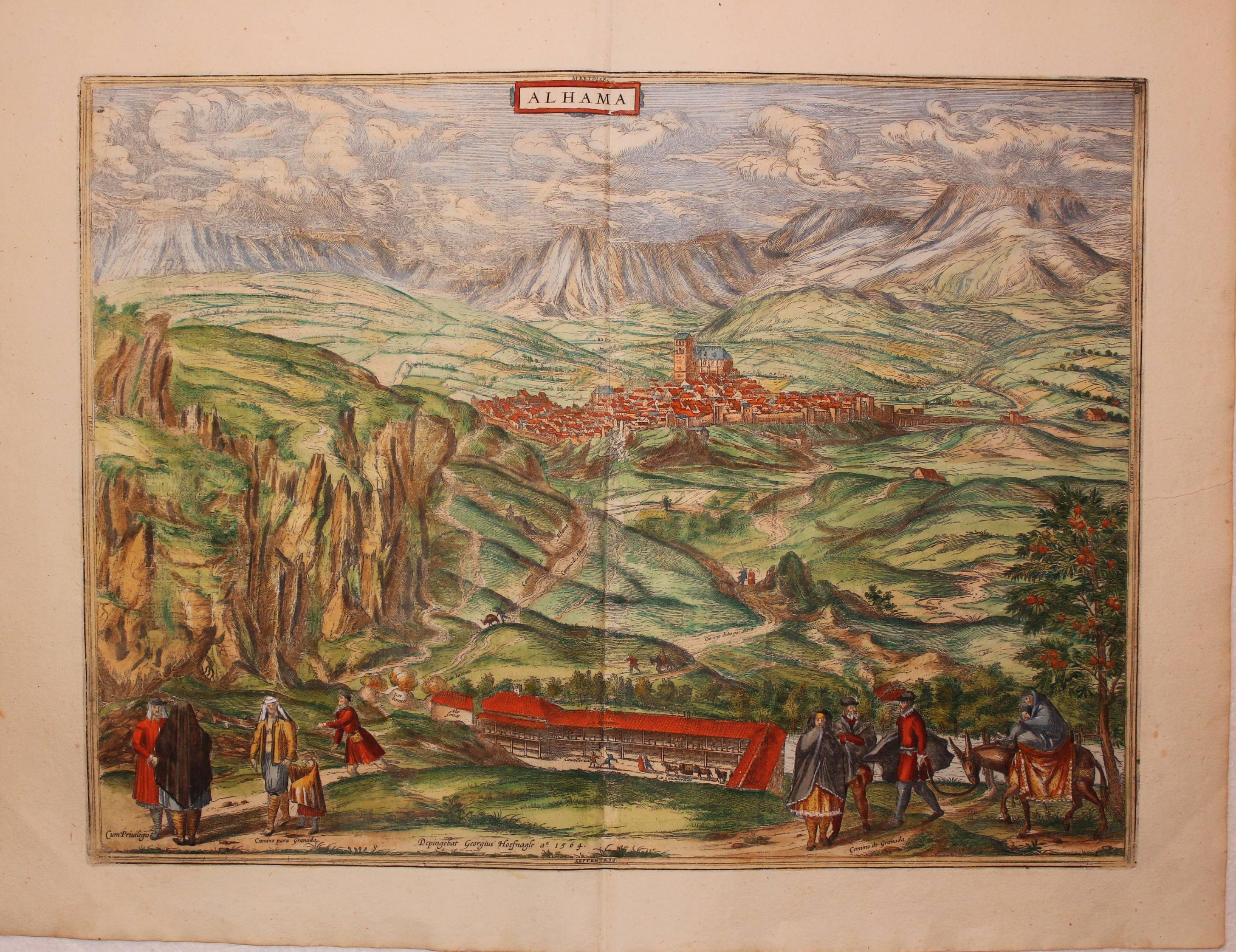
Alhama de Granada, Georg Braun & Franz Hogenburg, c.1600
27138 Alhama de Granada, Georg Braun & Franz Hogenburg, c.1600. Price: 350.00
ALHAMA
A fine 16th century view of the town with costumed figures in the foreground. Imprint of the Antwerp artist Joris Hoefnagel (1542-1600) dated 1564. 18 x 13 1/4 inches, 455 x 340 mm. Superb rich early hand colouring. French text on verso. Good clean condition.
From: Civitates Orbis Terrarum
CANARY ISLANDS
18th Century
-

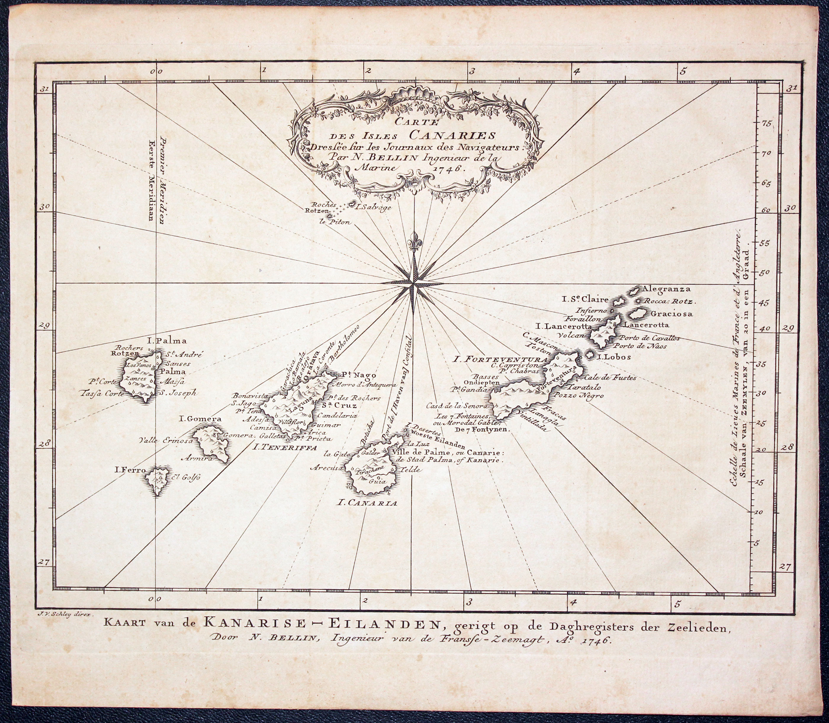
Canary Islands, Jacques Nicolas Bellin, c.1764
24708 Canary Islands, Jacques Nicolas Bellin, c.1746. Price: 66.00
CARTE DES ISLES CANARIES....1746
An engraved map of the Canary Islands embellished with a decorative rococo title cartouche dated 1746. A second title in Dutch appears beneath the map. 11 x 8 inches. Uncoloured. Original vertical fold. Good clean condition.
18th Century - Sea Chart
-

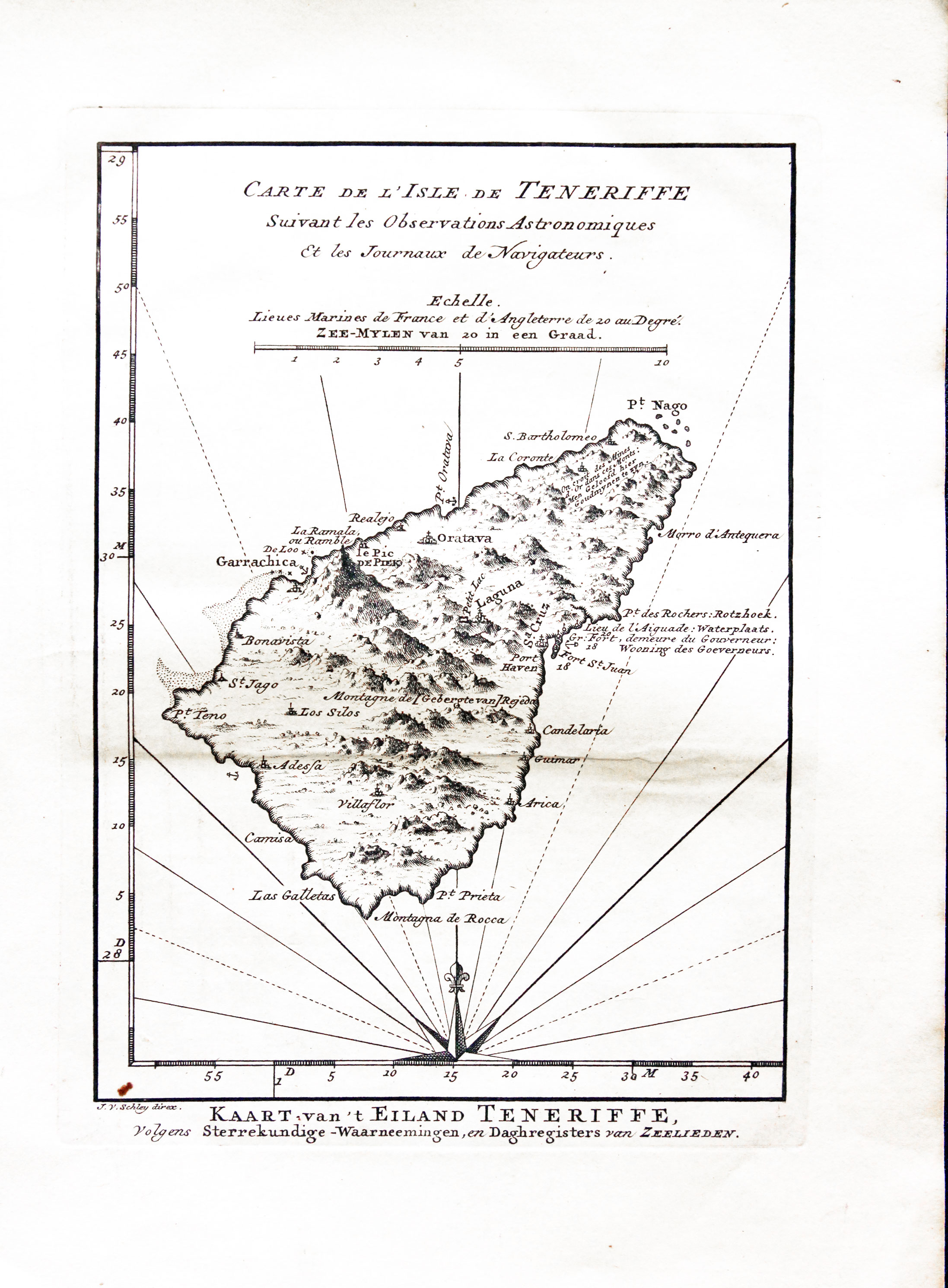
Tenerife, Jacques Nicolas Bellin, c.1760
24711 Tenerife, Jacques Nicolas Bellin, c.1760. Price: 62.00
CARTE DE L’ISLE DE TENERIFFE SUIVANT LES OBSERVATIONS ASTRONOMIQUES.... A good 18th century map of Tenerife, the largest of the seven Canary Islands. Titles in French and Dutch. Compass rose and scale. 5 3/4 x 8 inches. Uncoloured. Light crease but otherwise in nice clean crisp undamaged condition.
From :Antoine-François Prevost's L`Histoire Generale des Voyages published by Pierre de Hond
GALICIA
17th Century - Sea Chart
-

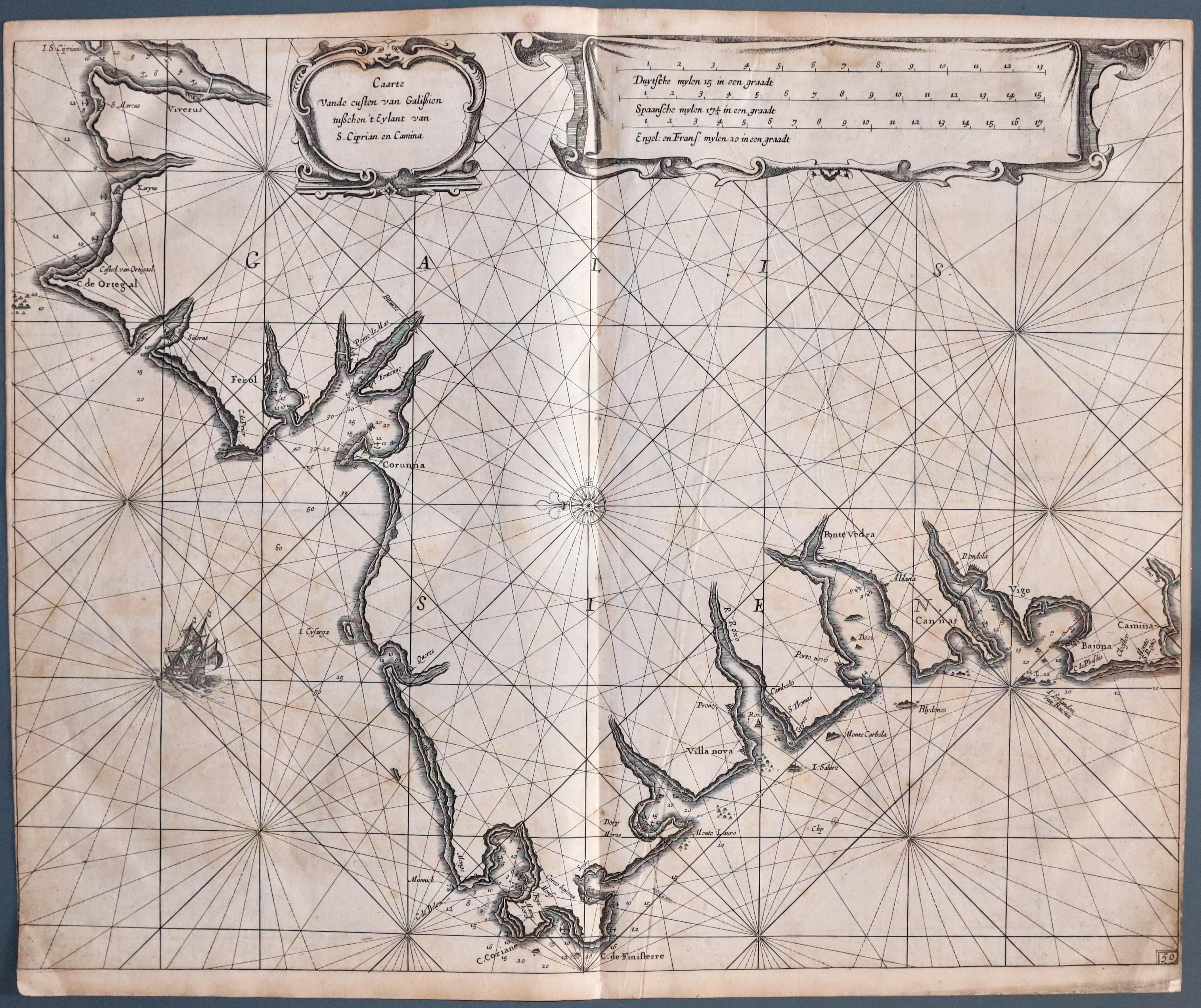
Coast of Galicia, Pieter Goos, 1676
33416 Coast of Galicia, Pieter Goos, 1676. Price: 220.00
CAARTE VANDE CUSTEN VAN GALISIEN TUSCHEN ’T EYLANT VAN S. CIPRIAN EN CAMINA
An interesting early chart showing the coast of Galicia from north of Coruna to the area around Vigo in the south. The detailed coastline shows soundings and anchorage points. Decorative title cartouche and a second cartouche displays the three scales. Sailing ship, compass rose and rhumb lines. Plate numbered 50. 20 3/4 x 16 1/2 inches. Uncoloured. Slight trimming in the bottom left hand blank margin. Lightly toned. Some very light water staibing across the top of the chart. Otherwise good condition.
