Antique Maps of
Upper Saxony, Swabia, Thuringia and Westphalia
Richard Nicholson of Chester
A World of Antique Maps and Prints
Established in 1961
All the Maps on this page are guaranteed to be genuine early specimens
pubished in or around the year stated
SWABIA
18th Century - Early Hand Colouring
-

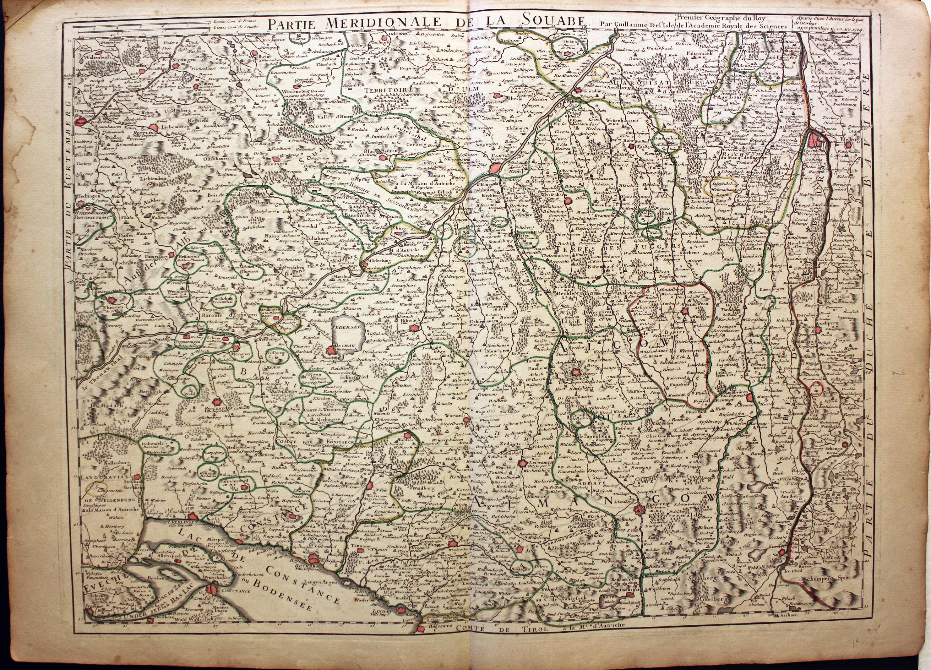
Southern Swabia, Guillaume de L'Isle, c.1726
25214 Southern Swabia, Guillaume de L'Isle, c.1726. Price: 120.00
PARTIE MERIDIONALE DE LA SOUABE
A good detailed engraved map of the regions. The title and scale appear above the map along with the date of 1704. 25 x 18 3/4 inches. Original outline hand colouring. Very lightly toned with a few small water stains on the edges of the blank margins. Otherwise good condition.
18th Century - Early Hand Colouring
-

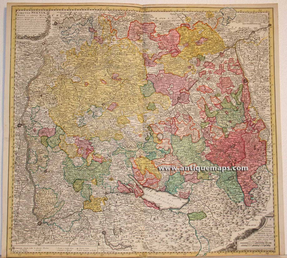
Swabia, Heirs of Johann Baptist Homann, c.1760
27621 Swabia, Heirs of Johann Baptist Homann, c.1760. Price: 200.00
CIRCULI SUEVIAE MAPPA.....
A detailed engraved map of the region. Three uncoloured cartouches display the title, scales and some text. 21 1/2 x 20 1/4 inches. Original outline and wash hand colouring. No bottom blank margin and slight trimming to the printed margin. Otherwise good clean condition.
18th Century - Early Hand Colouring
-

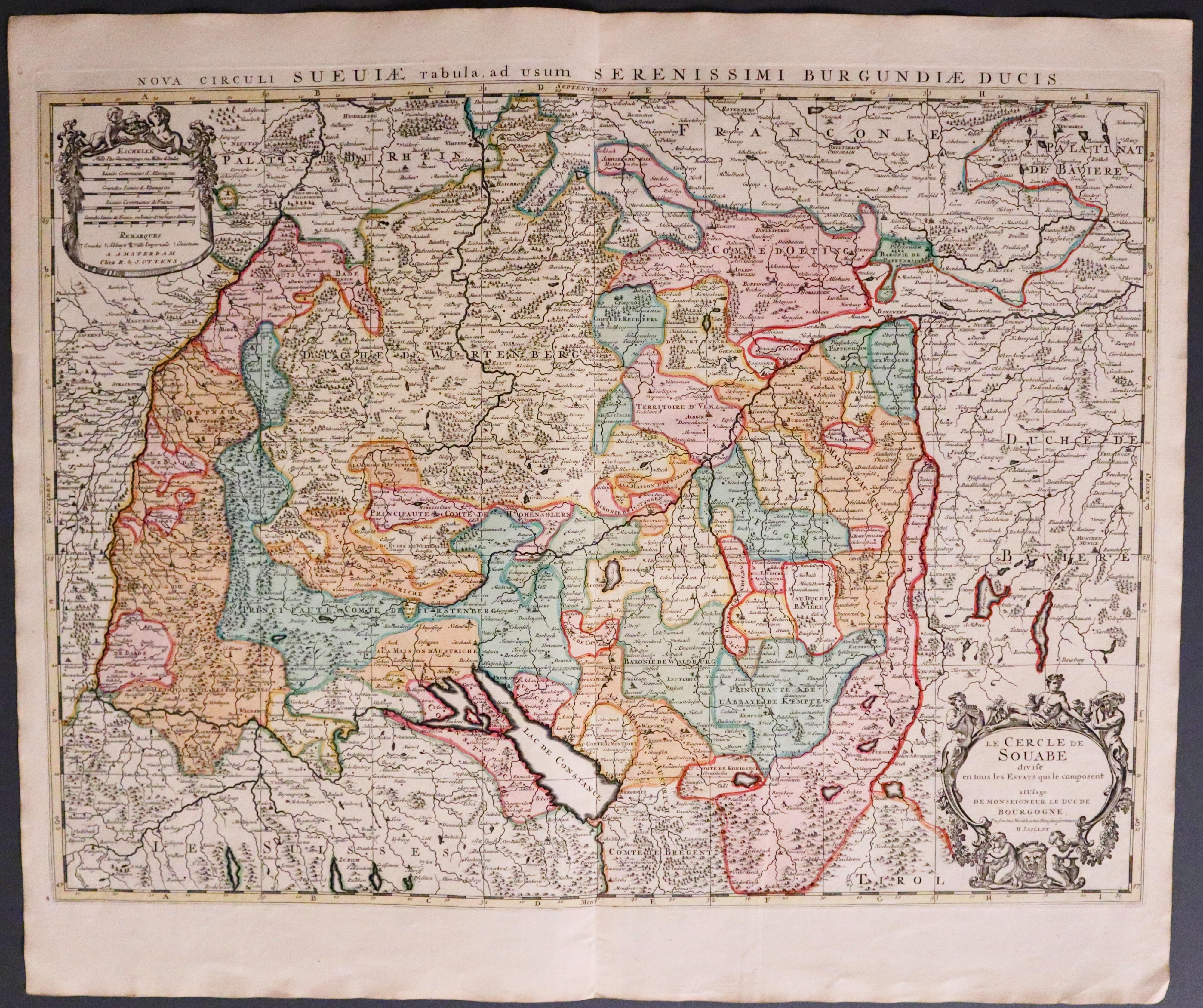
Swabia, Reiner and Josua Ottens, c.1760
27656 Swabia, Reiner and Josua Ottens, c.1760. Price: 220.00
LE CERCLE DE SOUABE DIVISE EN TOUS LES ESTATS QUI COMPOSENT A L'USAGE DE MONSEIGNEUR LE DUC DE BOURGOGNE.. H. JAILLOT
A fine engraved map of Swabia. Two uncoloured decorative cartouches. One displays the title with the name of H. Jaillot. The other displays 5 scales with the names of R and J Ottens. 24 x 17 3/4 inches. Fine early outline and wash hand colouring. Excellent clean condition having been just taken from the atlas.
From: Atlas Minor by Reiner and Josua Ottens
17th Century
-

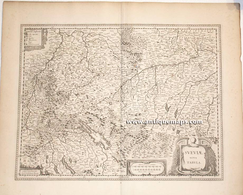
Swabia, W. J. Blaeu, c.1648
27657 Swabia, W. J. Blaeu, c.1648. Price: 185.00
SUEVIAE NOVA TABULA
A good engraved 17th century map of Swabia embellished with three decorative cartouches displaying the title, two scales and explanation. 19 x 14 3/4 inches. French text on verso. Uncoloured. Small hole in the map, just touching some mountains and no place names. Otherwise good clean condition with wide blank margins.
18th Century - Early Hand Colouring
-

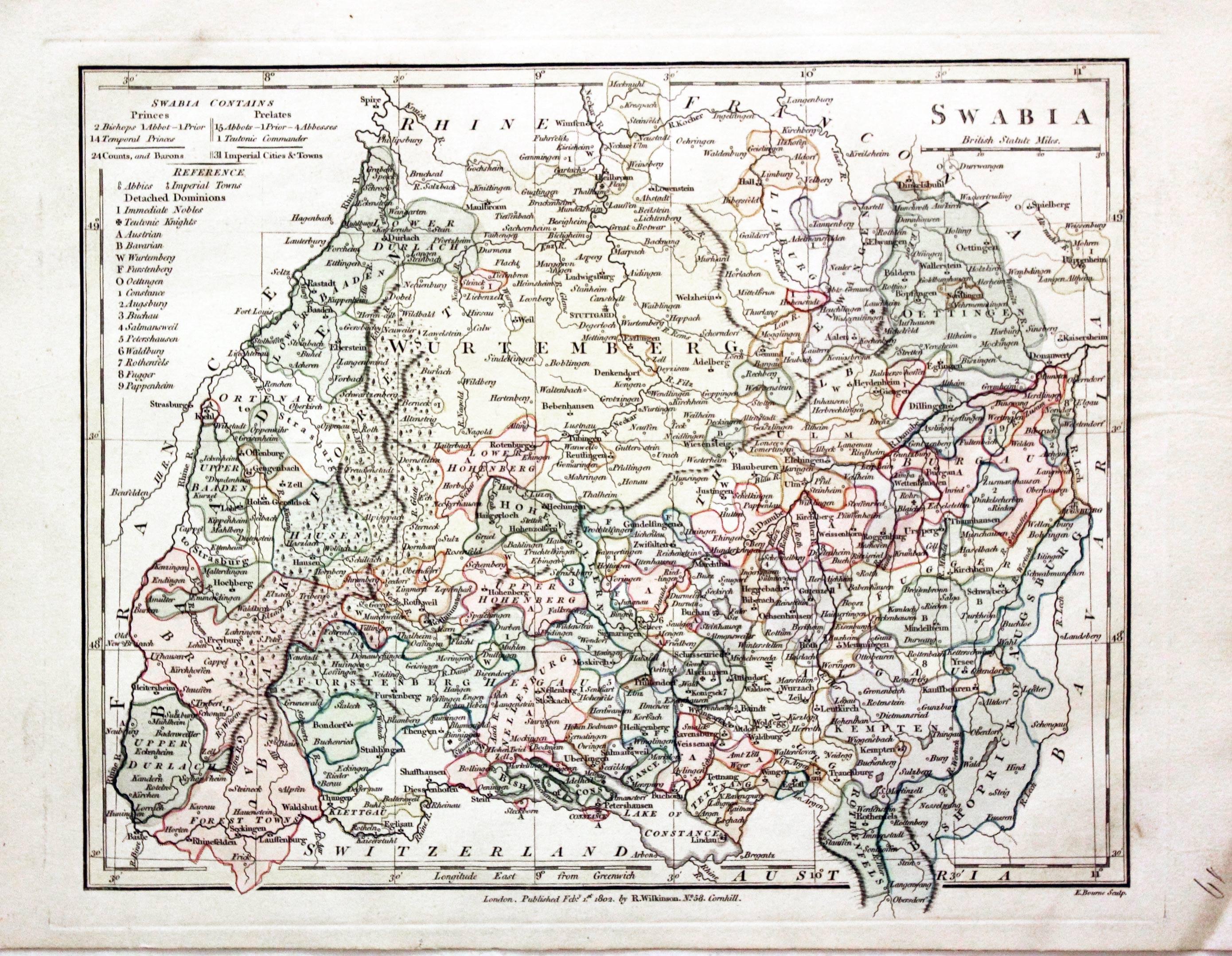
Swabia, Robert Wilkinson 1784
29482 Swabia, Robert Wilkinson, 1794. Price: 44.00
SWABIA
An engraved map of the region engraved by E. Bourne. The imprint of the published Robert Wilkinson appears beneath the map dated 1802. 11 x 8 3/4 inches. Original outline and wash hand colouring. Good stout paper. Manuscript number 19 in blank margin. Good clean condition with no repairs. A nice specimen.
From: A General Atlas being A Collection of Maps of the World and Quarters the Principal Empires, Kingdoms &c, with their several Provinces & other Subdivisions, Correctly Delineated
18th Century - Early Hand Colouring
-

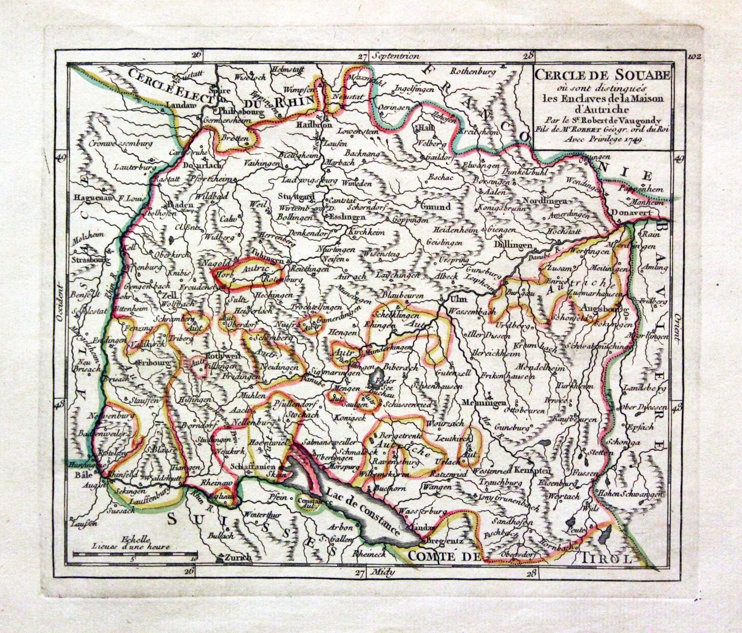
Swabia, G. Robert de Vaugondy, c.1750
30416 Swabia, G. Robert de Vaugondy, c.1750. Price: 23.00
CERCLE DE SOUABE.... 1749
An engraved map of the region with a title panel bearing the date of 1749. 7 1/2 x 6 1/4 inches. Original outing hand colouring. Good condition with large blank margins.
UPPER SAXONY
16th Century
-

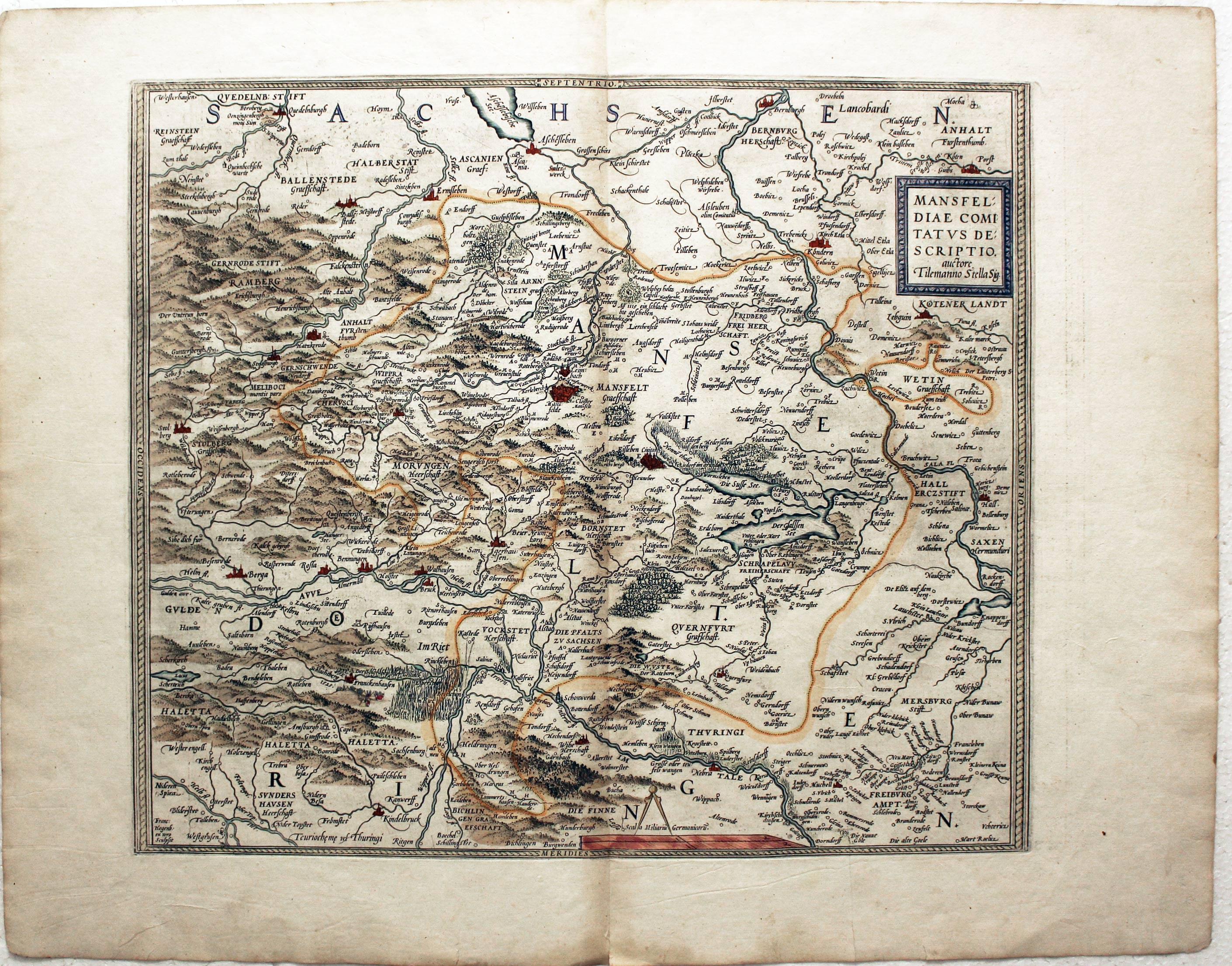
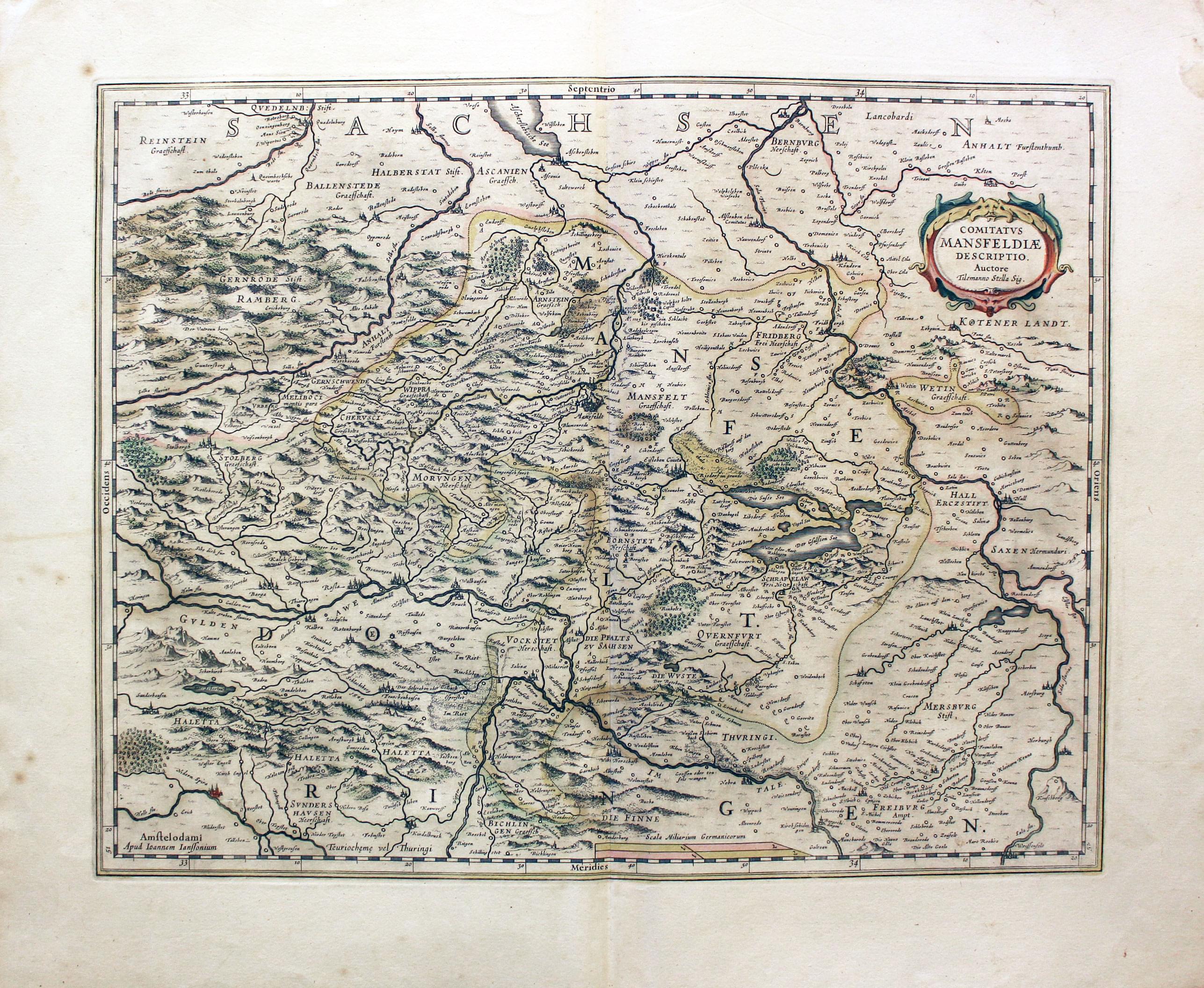
Mansfeld, Abraham Ortelius 1579
4968 Mansfeld, Abraham Ortelius 1579. Price: 200.00
MANSFELDIAE COMITATUS DESCRIPTIO. AUCTORE TILEMANNO STELLA SIG
An early engraved map of the region centred on the town of Mansfeld. Title panel. 16 x 14.5 inches, 430 x 370 mm. Hand coloured. Fine clean crisp condition. Straight from the atlas.
From the Theatrum
17th Century
-

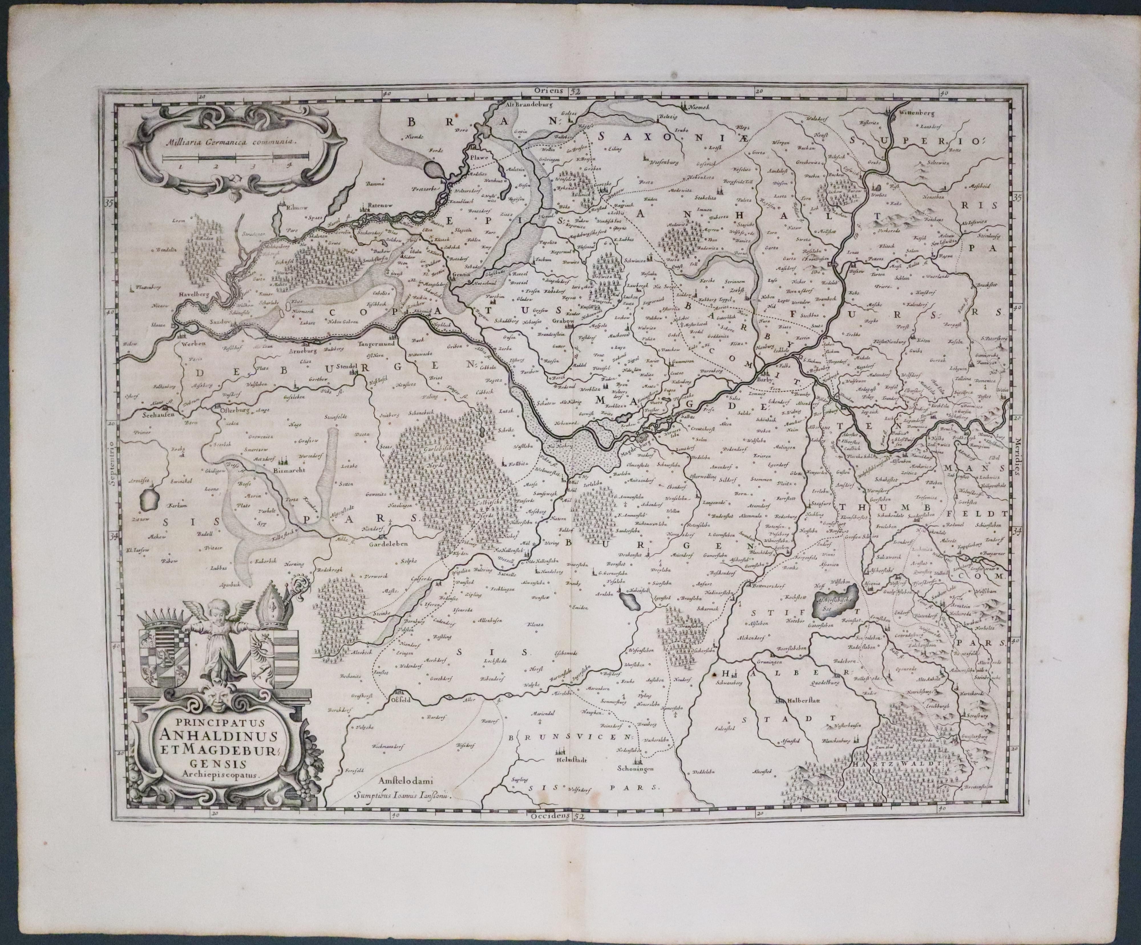
Magdeburg, Jan Jansson, 1647
5562 Magdeburg, Jan Jansson, 1647. Price: 120.00
Principatus ANHALDINUS ET MAGDEBURGENSIS Archiepiscopatus
An engraved map centred on the town of Magdeburg and orientated with east at the top. Extends as far north as Werben. Decorative title and scale cartouches. 19 x 15 inches, 475 x 380 mm. Dutch text on verso. Uncoloured. Good condition.
17th Century - Early Hand Colouring
-

Mansfeld, Jan Jansson, 1649
22899 Mansfeld, Jan Jansson, 1649. Price: 90.00
COMITATUS MANSFELDIAE DESCRIPTIO AUCTORE TILEMANNO STELLA SIG. An engraved map of the region embellished with a decorative title cartouche bearing an attribution of Tielemano Stella, 1527-89. 19 x 15 inches. Early hand colouring. Latin text on verso. Good condition.
Early 18th Century - Original Hand Colouring
-

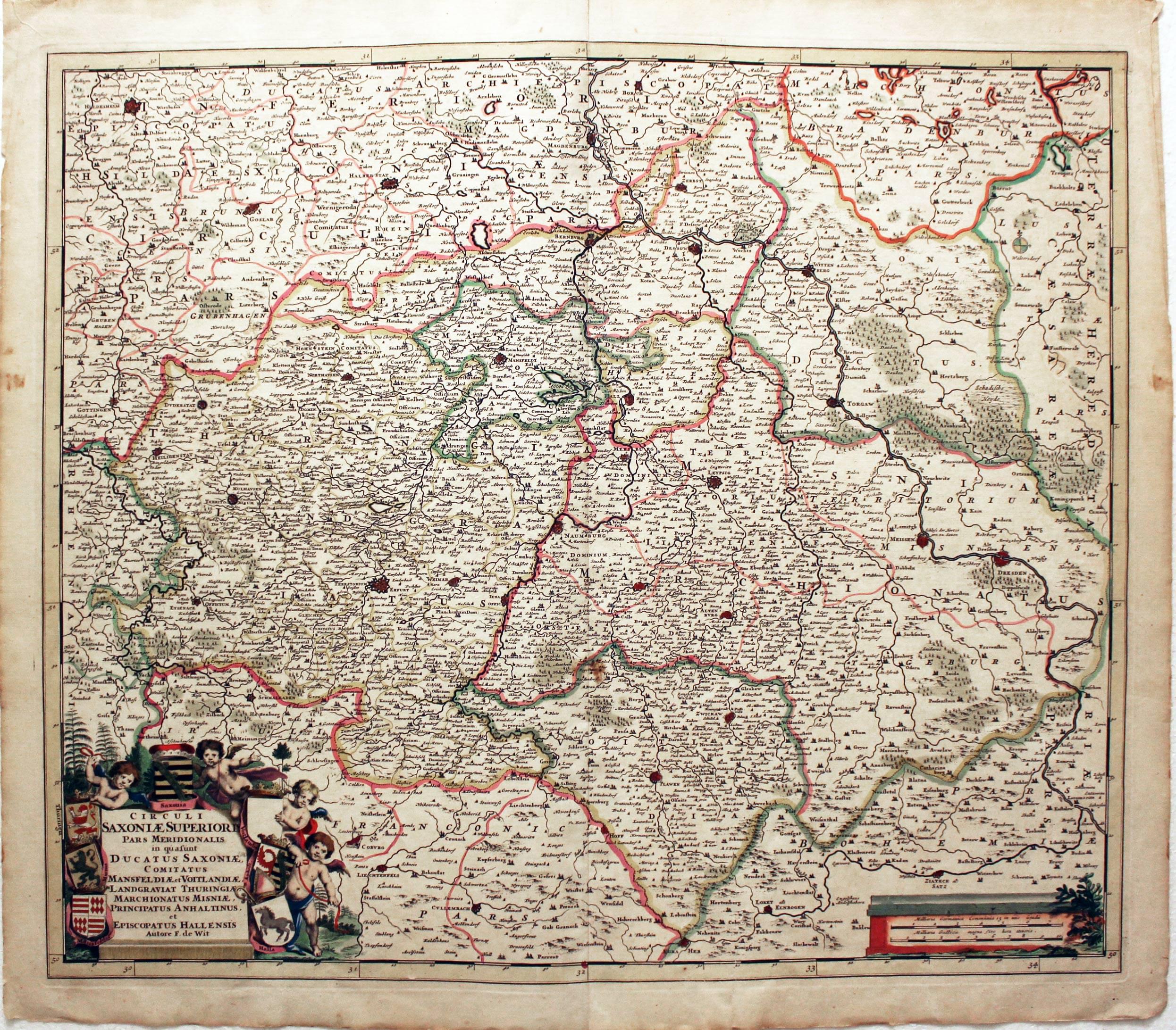
Upper Saxony, Frederick de Wit, c.1700
23946 Upper Saxony, Frederick de Wit, c.1700. Price: 200.00
CIRCULI SAXONIAE SUPERIORI PARS MERIDIONALIS IN QU A S'UNT DUCATUS SAXONIAE, COMITATUS MANSFELDIAE ET VOITLANDIAE, LANDGRAVIAT THURINGIAE, MARCHIONATUS MISNIAE, PRINCIPATUS ANHALTINUS, ET EPISCOPATUS HALLENSIS Auctore D. de Wit
A good late 17th century map of the region extending from Hildesheim and Magdeburg in the north southwards to include Leipzig, Erfurt, Dresden, Hof and Eger. Decorative title cartouche with four putti supporting six coats of arms and one blank shield. Scale cartouche. 22 1/2 x 19 1/4 inches. Early hand colouring. Single tear in bottom blank margin extending one inch into engraved area, repaired. Otherwise good condition.
18th Century
-
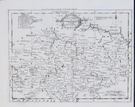
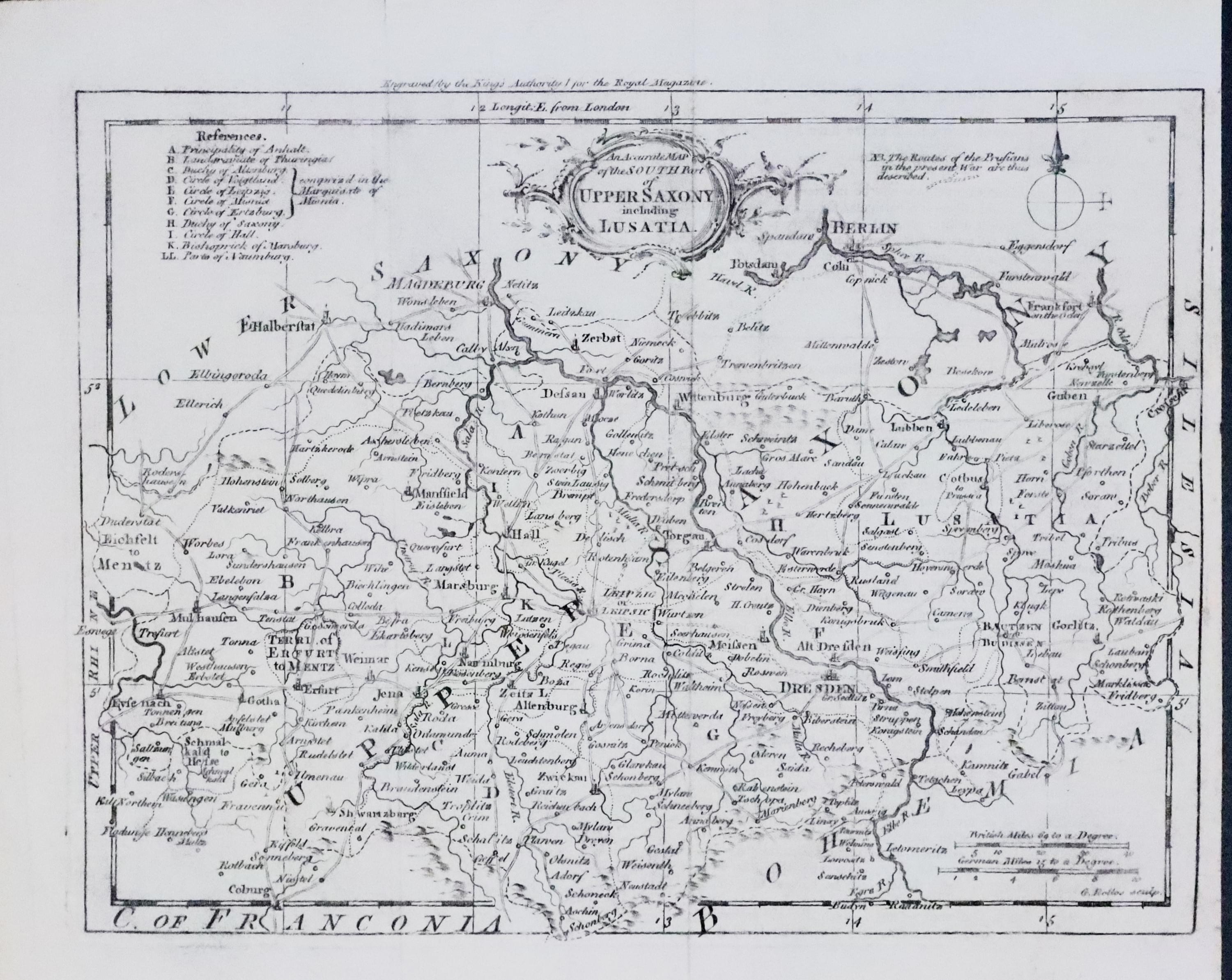
Upper Saxon, Thomas Kitchin, c.1760
24772 Upper Saxony, Thomas Kitchin, c.1760. Price: 25.00
AN ACCURATE MAP OF THE SOUTH PART OF UPPER SAXONY INCLUDING LUSATIA
An engraved map including Berlin. Rococo title cartouche. Imprint above the map which reads ‘Engraved (by the Kings Authority) for the Royal Magazine. 9 x 6 3/4 inches. Uncoloured. Small blank margin on right hand side. Good condition.
16th Century Town Plan - Early Hand Colouring
-

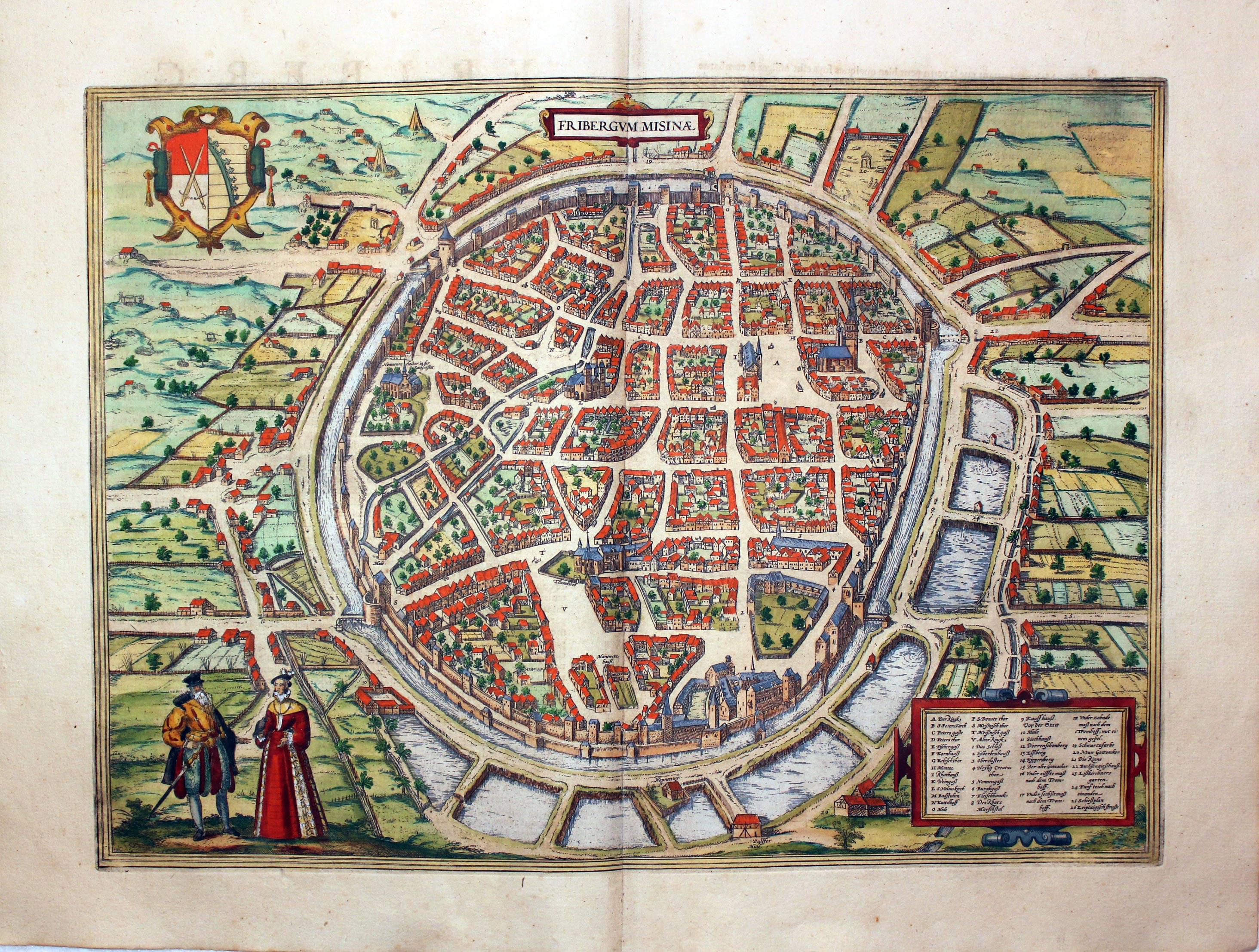
Freiburg, Georg Braun and Franz Hogenberg, c.1600
27142 Freiburg, Georg Braun and Franz Hogenberg, c.1600. Price: 360.00
FRIGERGUM MISNIAE
A fine 16th century bird's eye view town plan of Freiburg situtaed at the foot of the Erzgebirge mountain where silver was mined in the 12th century. Two costumed figures in the foreground. Two decorative cartouches displaying the title and a key listing 26 places of interest. Coat of arms. 17 3/4 x 13 inches. Superb early hand colouring. French text on verso. Good clean condition with wide margins.
From: Civitates Orbis Terrarum
Early 19th Century - Original Hand Colouring
-
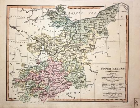
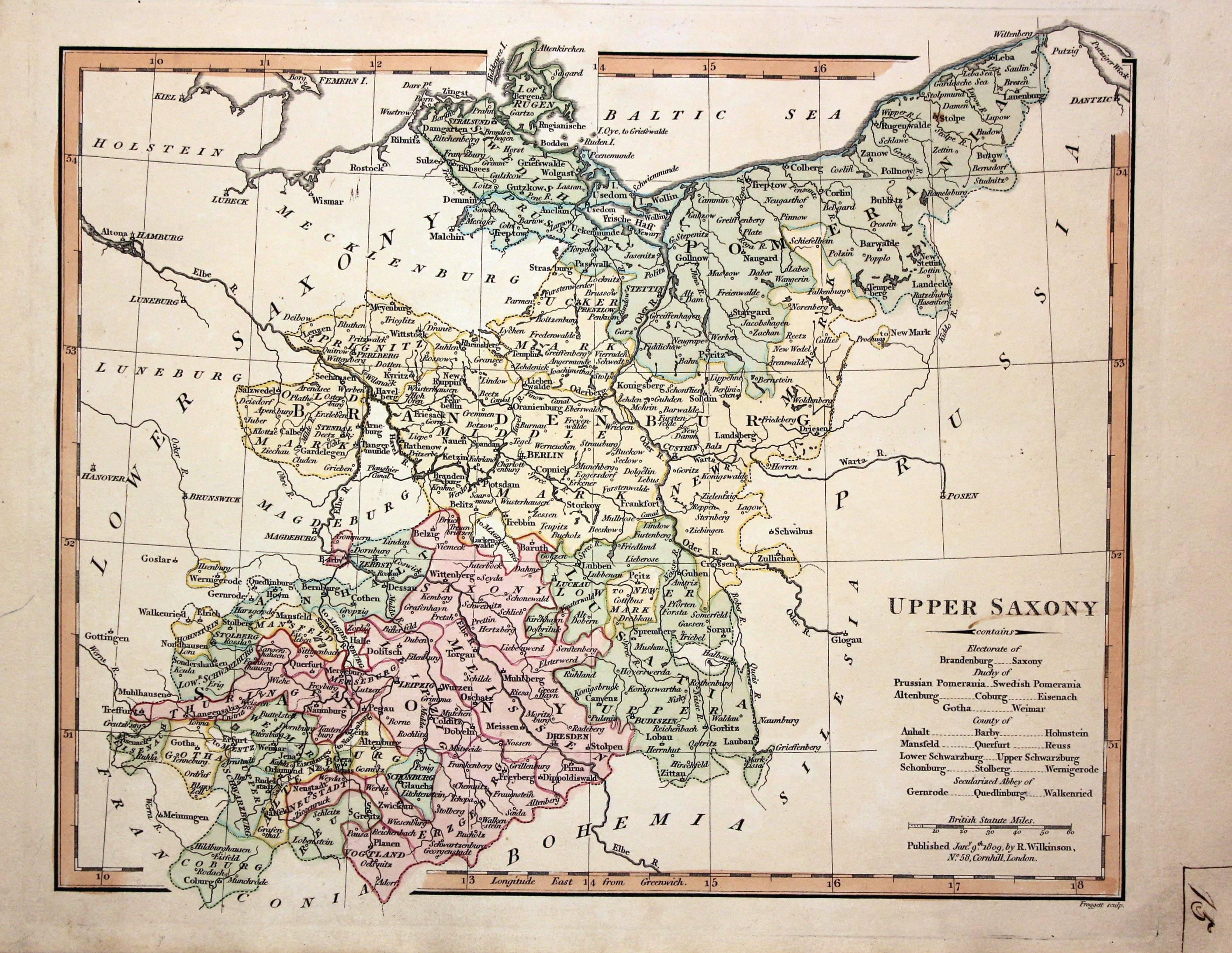
Upper Saxony, Robert Wilkinson, 1809
29106 Upper Saxony, Robert Wilkinson, 1809. Price: 32.00
UPPER SAXONY
A map engraved by John Froggett who worked for Robert Wilkinson. 11 x 8 3/4 inches. Original outline and wash hand colouring. Manuscript letter 15 in the lower right hand corner probably added by someone to assist them finding their way round the atlas. Good stout paper. Good condition.
18th Century
-

Southern Part of Upper Saxony, G. Rollos, 1760
29115 Southern Part of Upper Saxony, G. Rollos, 1760. Price: 28.00
A MAP OF THE SOUTHERN PART OF LOWER SAXONY FROM THE BEST AUTHORITIES
An engraved maps embellished with a rococo title cartouche. The imprint of Rollos appears beneath the map. Above the map is the imprint Engraved (by the Kings Authority) for the Geographical Dictionary. 11 x 7 1/2 inches. Uncoloured. Good clean condition.
18th Century - Early Hand Colouring
-

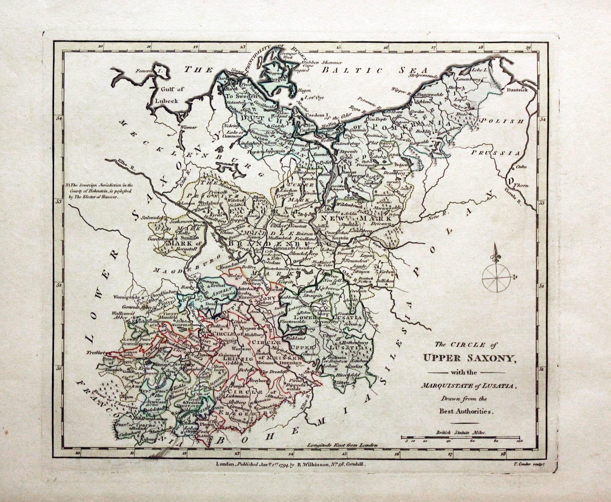
Upper Saxony, Robert Wilkinson, 1794
29478 Upper Saxony, Robert Wilkinson, 1794. Price: 39.00
THE CIRCLE OF UPPER SAXONY WITH THE MARQUISTATE OF LUSATIA DRAWN FROM THE BEST AUTHORITIES
The First Edition of this engraved map of the region with the publishers imprint beneath dated 1794. Engraved by Thomas Conder. 9 1/2 x 8 inches. Original outline and wash hand colouring. Good stout paper. Manuscript number 15 in blank margin. Good clean condition with no repairs. A nice specimen.
From: A General Atlas being A Collection of Maps of the World and Quarters the Principal Empires, Kingdoms &c, with their several Provinces & other Subdivisions, Correctly Delineated
19th Century - Early Hand Colouring
-
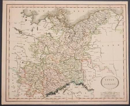
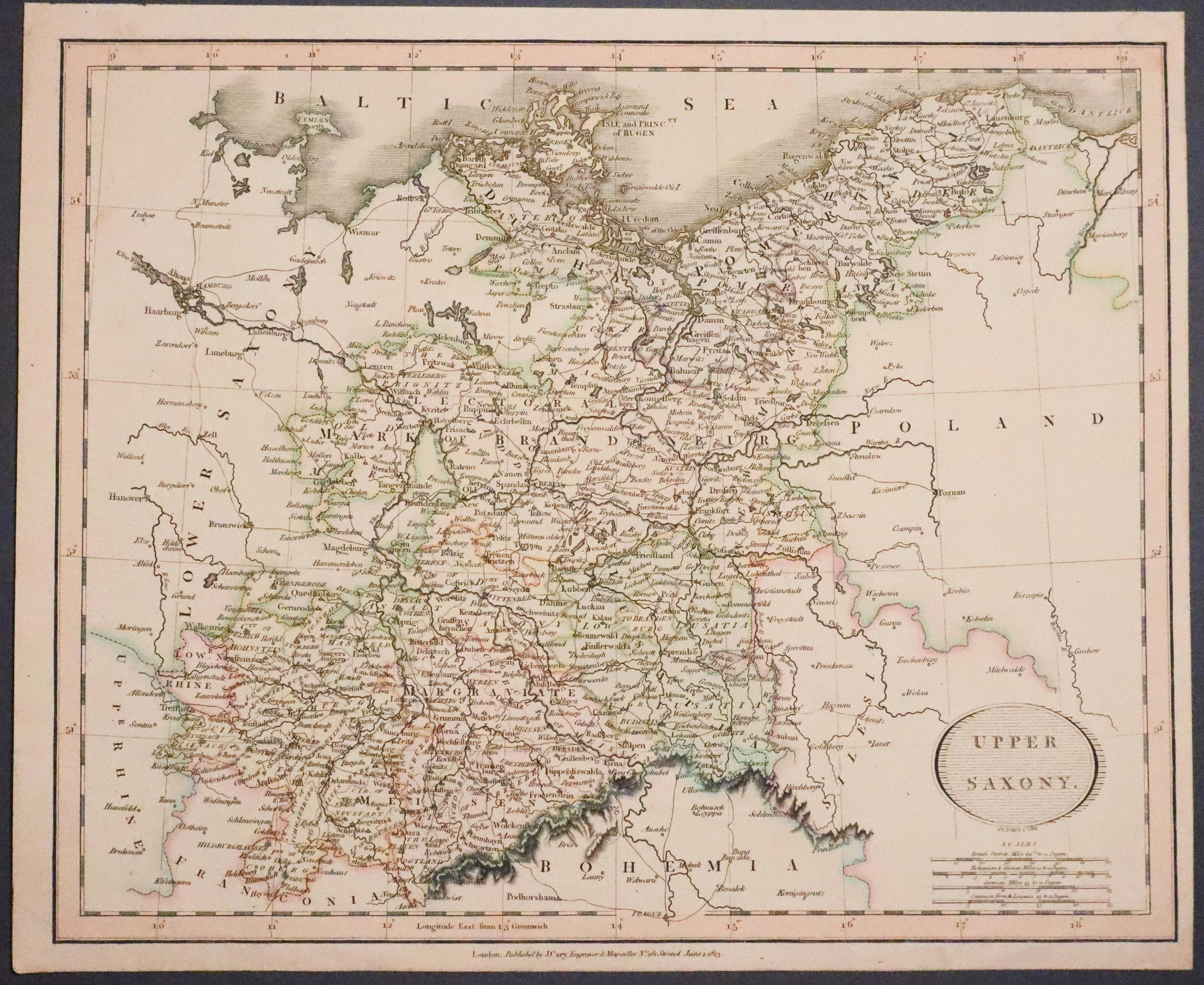
Upper Saxony, John Cary 1813
31647 Upper Saxony, John Cary, 1813. Price: 26.00
UPPER SAXONY
A good engraved map of the region. Oval title panel. Imprint of the cartographer beneath dated 1813. 11 1/4 x 9 1/4 inches. Original outline and wash hand colouring. Small crease in the top right hand corner just affecting the printed border. Otherwise good clean undamaged condition.
18th Century - Early Hand Colouring
-
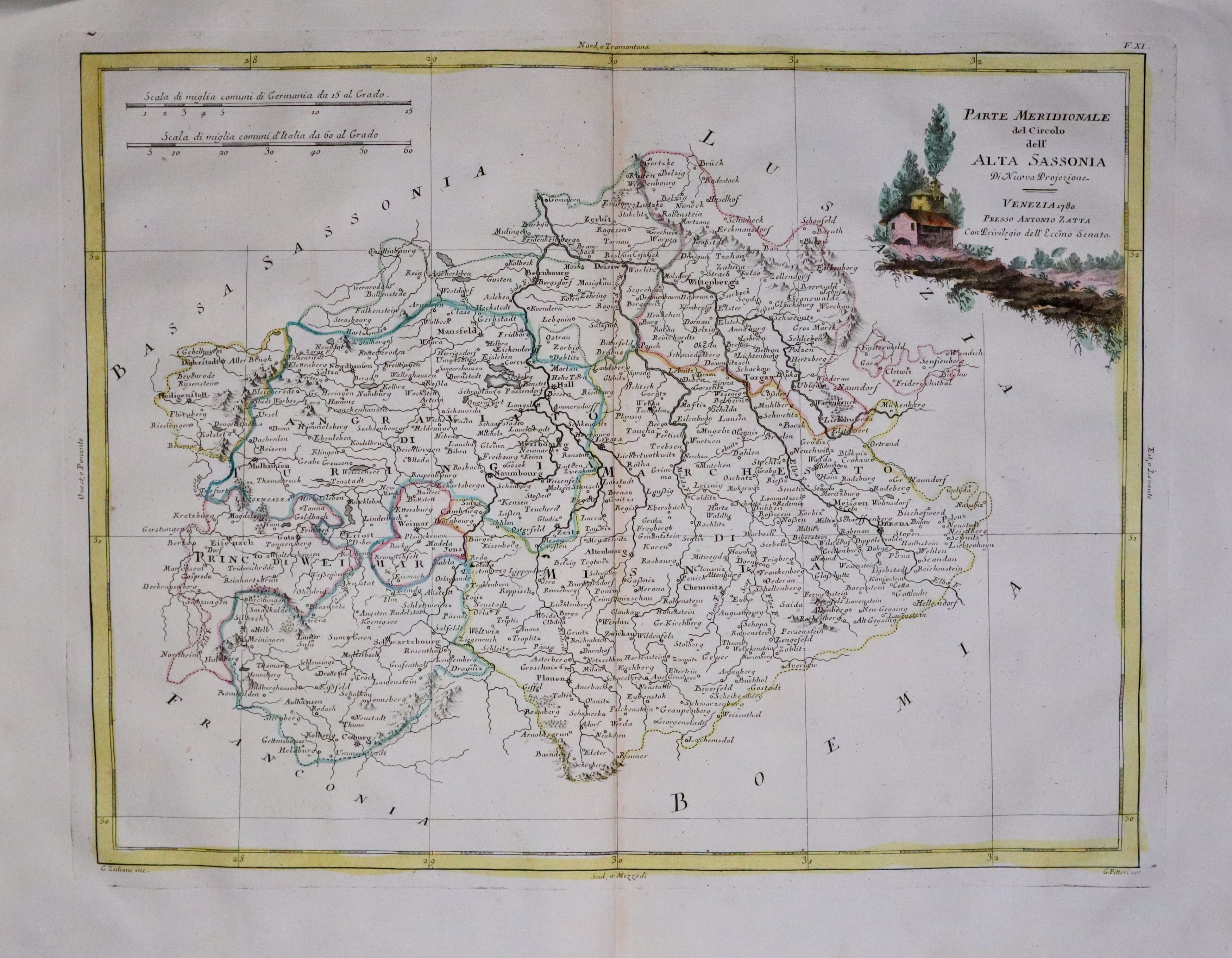
Southern Saxony, Antonio Zatta c.1780
33472 Part of Southern Saxony, Antonio Zatta, c.1780. Price: 58.00
PARTE MERIDIONALE DEL CIRCOLO DELL’ ALTA SASSONIA.... VENEZIA 1780
An engraved map of the southern part of Saxony. Embellished with a pictorial title cartouche dated 1780. 15 3/4 x 12 1/4 inches. Original hand colouring. Original centre fold. Nice clean undamaged condition. This maps has been taken straight from the atlas and not previously sold as a single map.
From: Atlante novissimo
THURINGIA
17th Century
-

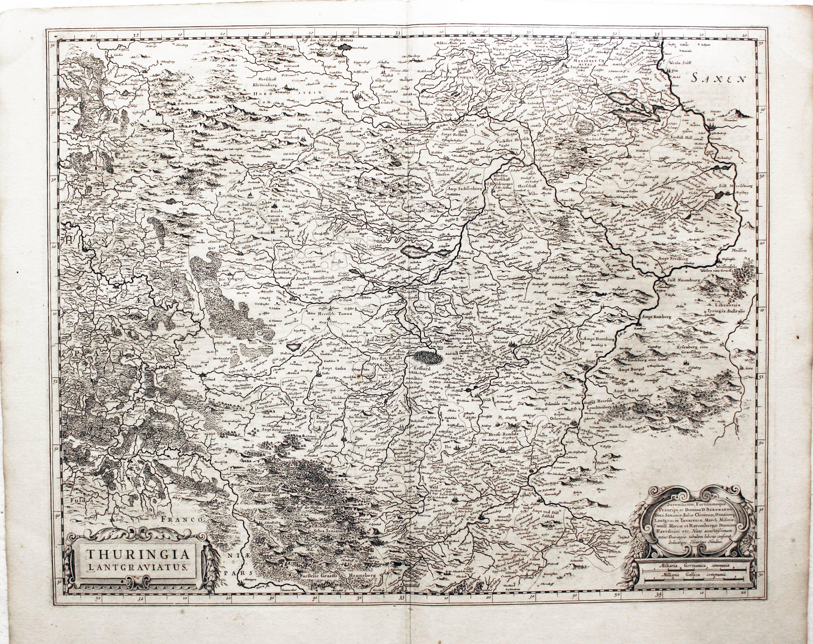
Thuringia, Jan Jansson, c.1647
22985 Thuringia, Jan Jansson, c.1647. Price: 130.00
THURINGIA LANTGRAVIATUS
A detailed engraved 17th century map of the region embellished with two decorative cartouches displaying the title, two scales and attribution to Henry Hondius. 20 1/2 x 16 1/4 inches. Uncoloured. Good condition.
From: Nieuwen Atlas, Ofte Weerelt-Beschrijvinghel
17th Century
-

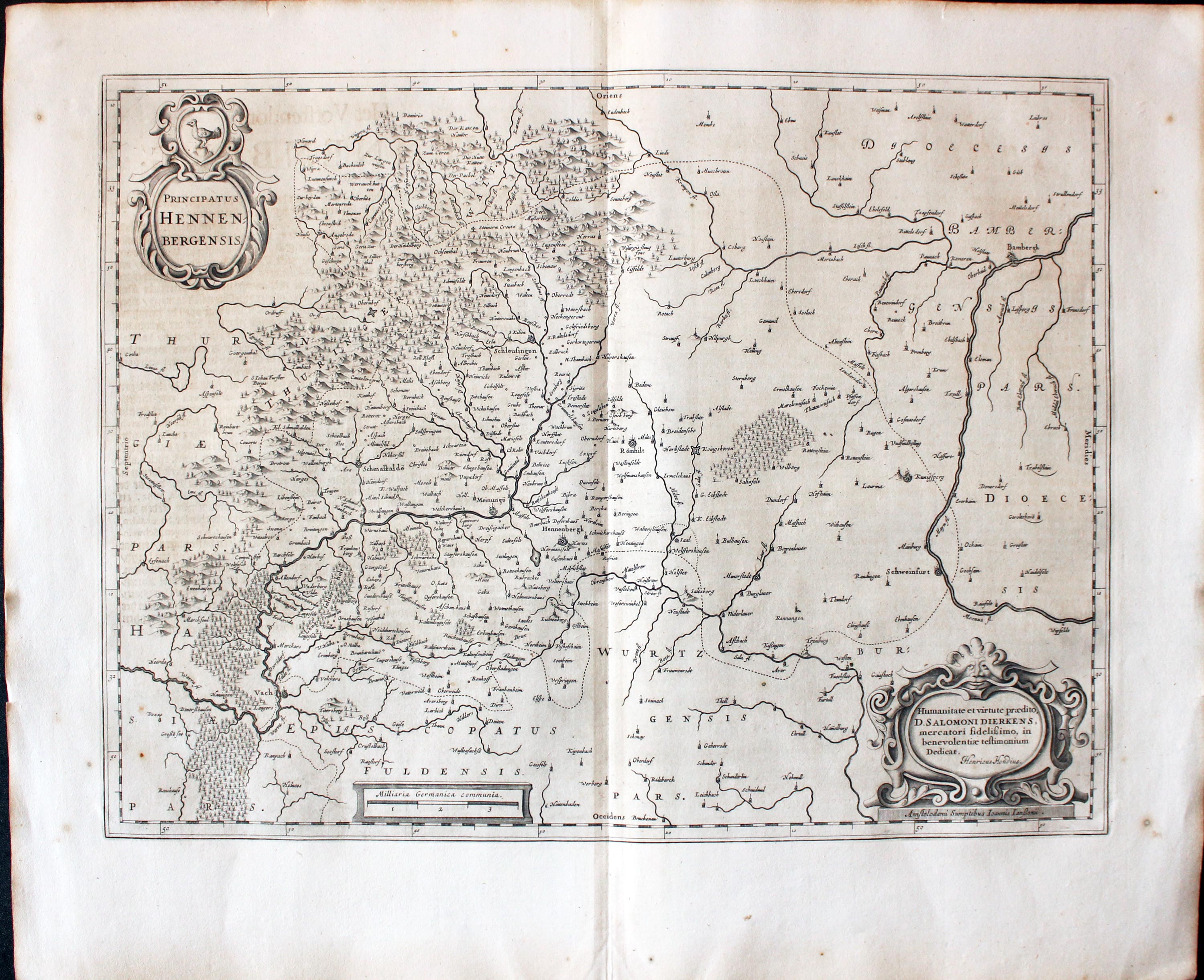
Hennenberg, Jan Jansson 1647
32024 Hennenberg, Jan Jansson, c.1647. Price: 96.00
PRINCIPATUS HENNENBERGENSIS
A detailed engraved 17th century map of the region embellished with three decorative cartouches displaying the title, scale and attribution to Henry Hondius. 19 1/2 x 14 1/2 inches. Uncoloured. Dutch text on verso. Two tiny nicks on the edge of the top blank margin otherwise good condition. Straight from the atlas and not previously been offered for sale as a single map.
From Nieuwen Atlas, Ofte Weerelt-Beschrijvinghe
WESTPHALIA
18th Century
-

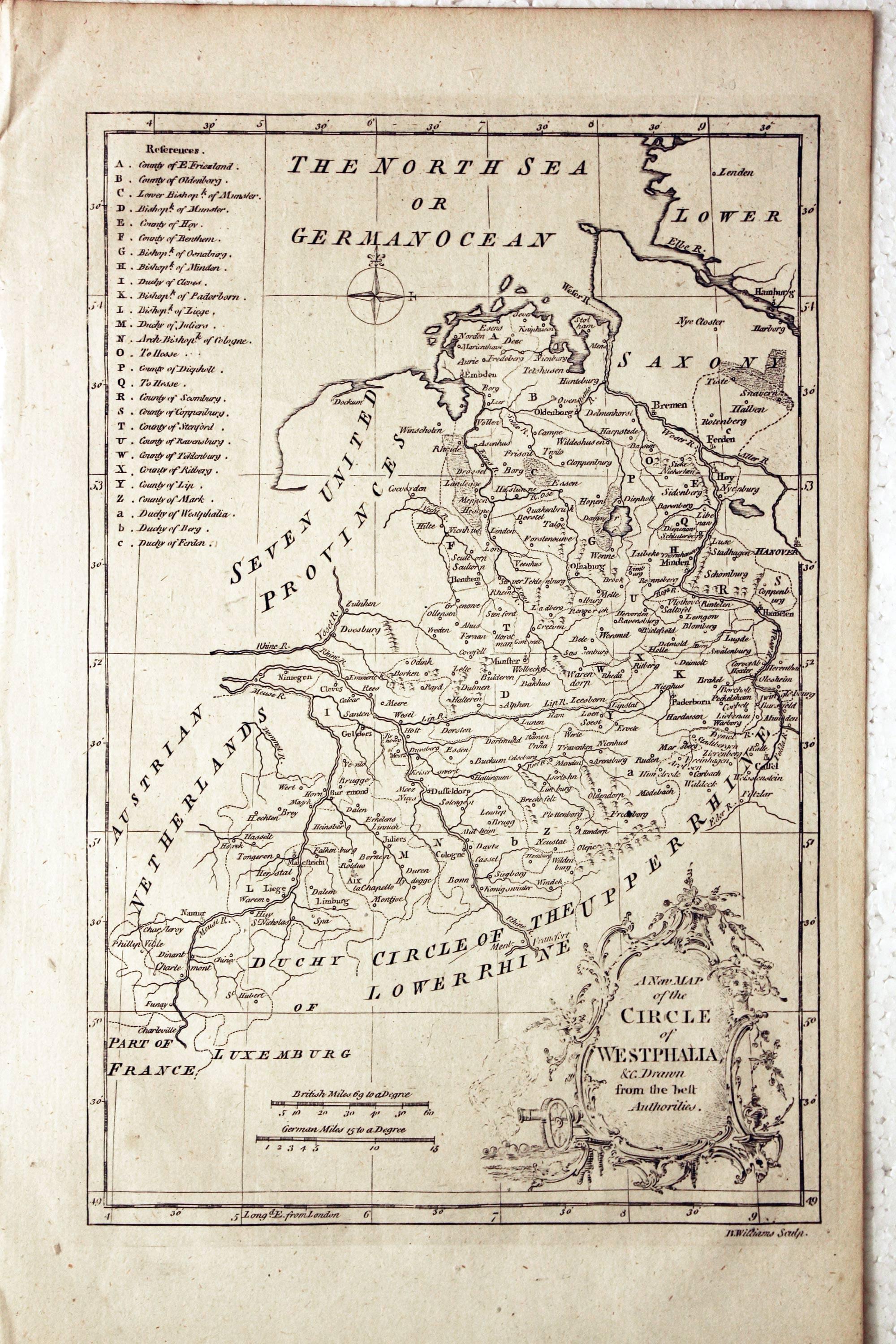
Westphalia, B. Williams, 1771
21522 Westphalia, B. Williams, 1771. Price: 34.00
A NEW MAP OF THE CIRCLE OF WESTPHALIA, &C. DRAWN FROM THE BEST AUTHORITIES
A map engraved by B. Williams. Embellished with a rococo title cartouche and two scales. References. 7 1/2 x 11 1/4 inches. Uncoloured. Good condition.
16th Century Town Plan - Early Hand Colouring
-

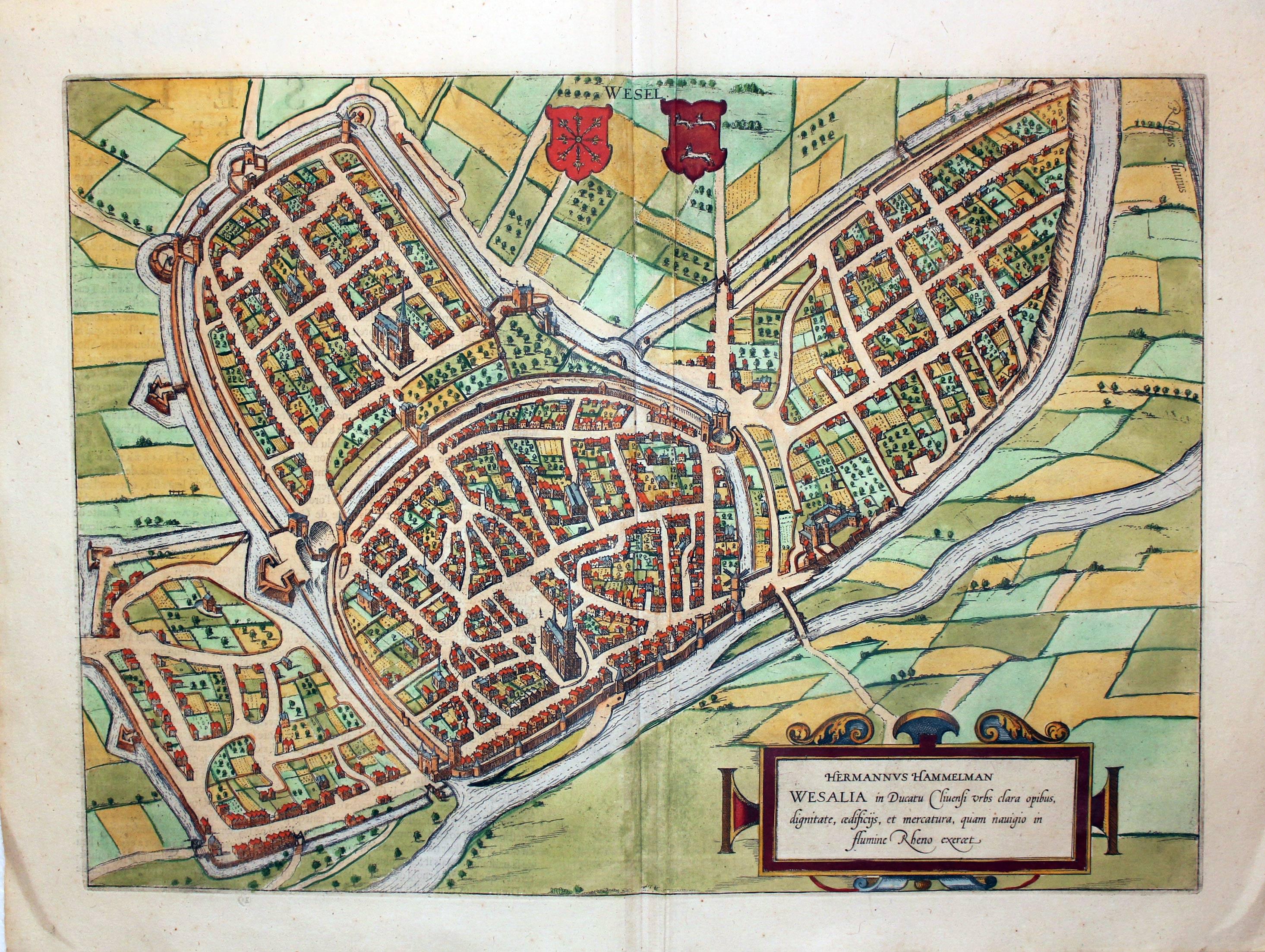
Wesel, Georg Braun & Franz Hogenburg, c.1600
27131 Wesel, Georg Braun & Franz Hogenburg, c.1600. Price: 265.00
HERMANNUS HAMMELMAN WESALIA IN DUCATU CLIVENSI URBS....
A fine 16th century bird's eye view of the town. Embellished with a decorative title cartouche and two coats of arms. 18 1/2 x 13 1/2 inches, 475 x 340 mm. French text on verso. Original hand colouring. Slight vertical crease to the right of the centre fold.
From: Civitates Orbis Terrarum
18th Century
-

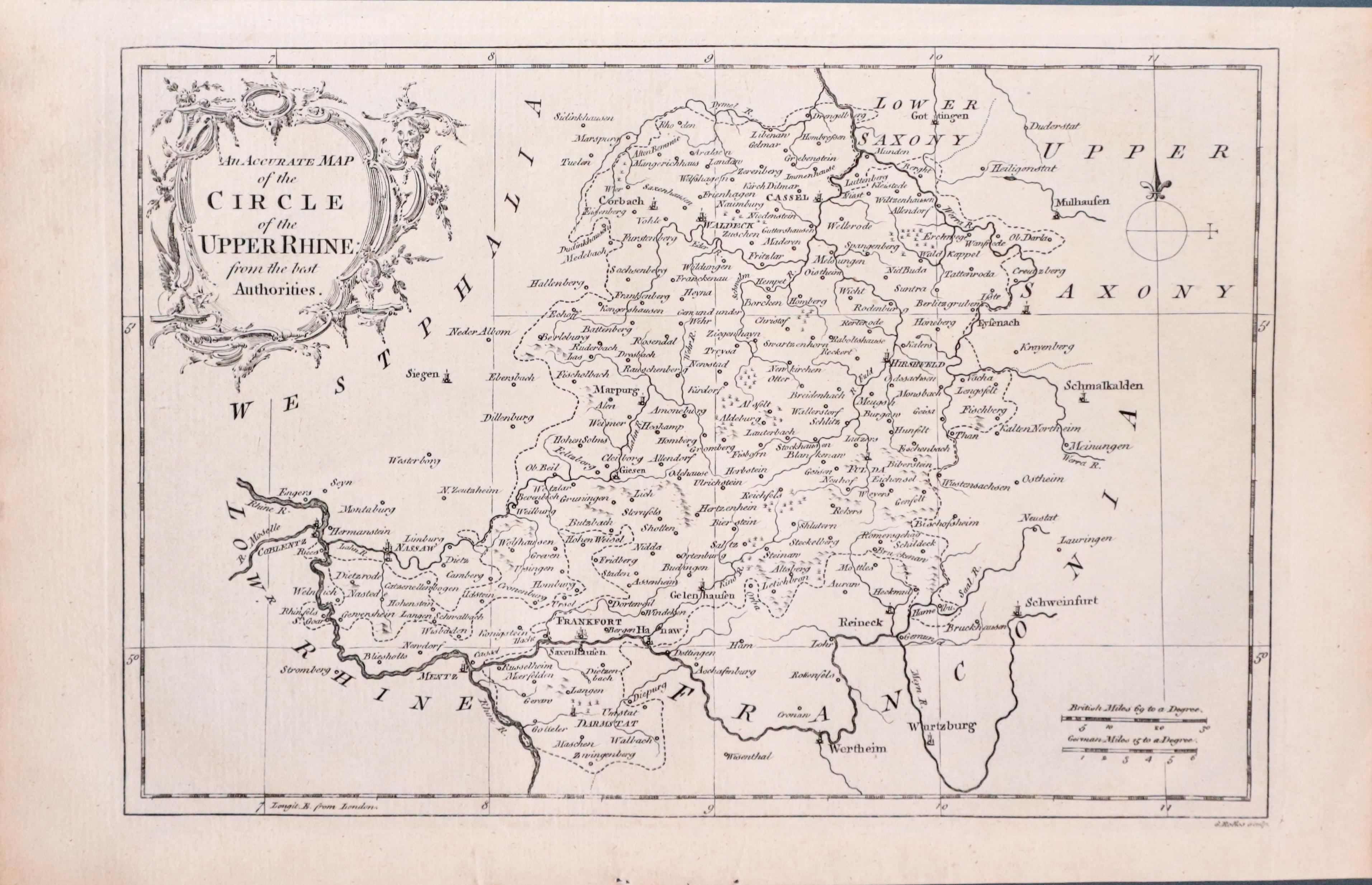
Circle of the Upper Rhine, G. Rollos, 1760
29116 Circle of the Upper Rhine, G. Rollos, 1760. Price: 26.00
AN ACCURATE MAP OF THE CIRCLE OF THE UPPER RHINE FROM THE BEST AUTHORITIES
An engraved maps embellished with a rococo title cartouche. The imprint of Rollos appears beneath the map. 11 x 7 1/2 inches. Uncoloured. Good clean condition.
18th Century - Early Hand Colouring
-

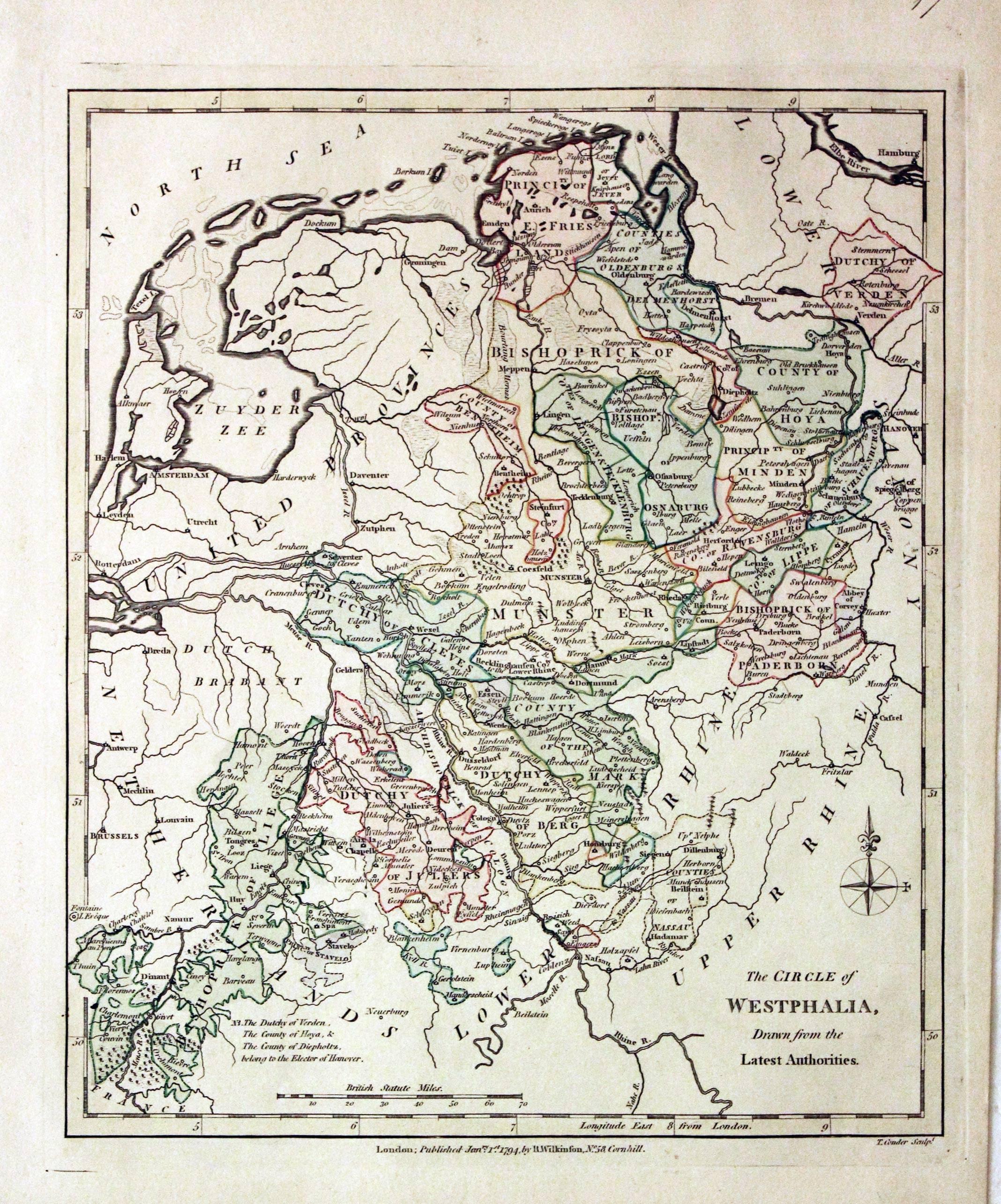
Westphalia, Robert Wilkinson, 1794
29480 Westphalia, Robert Wilkinson, 1794. Price: 50.00
THE CIRCLE OF WESTPHALIA, DRAWN FROM THE BEST AUTHORITIES
The first edition of this engraved map with the publishers imprint beneath dated 1794. 9 x 10 1/2 inches. Original outline and wash hand colouring. Good stout paper. Manuscript number 17 in blank margin. Good clean condition with no repairs. A nice specimen.
From: A General Atlas being A Collection of Maps of the World and Quarters the Principal Empires, Kingdoms &c, with their several Provinces & other Subdivisions, Correctly Delineated
17th Century - Miniature
-

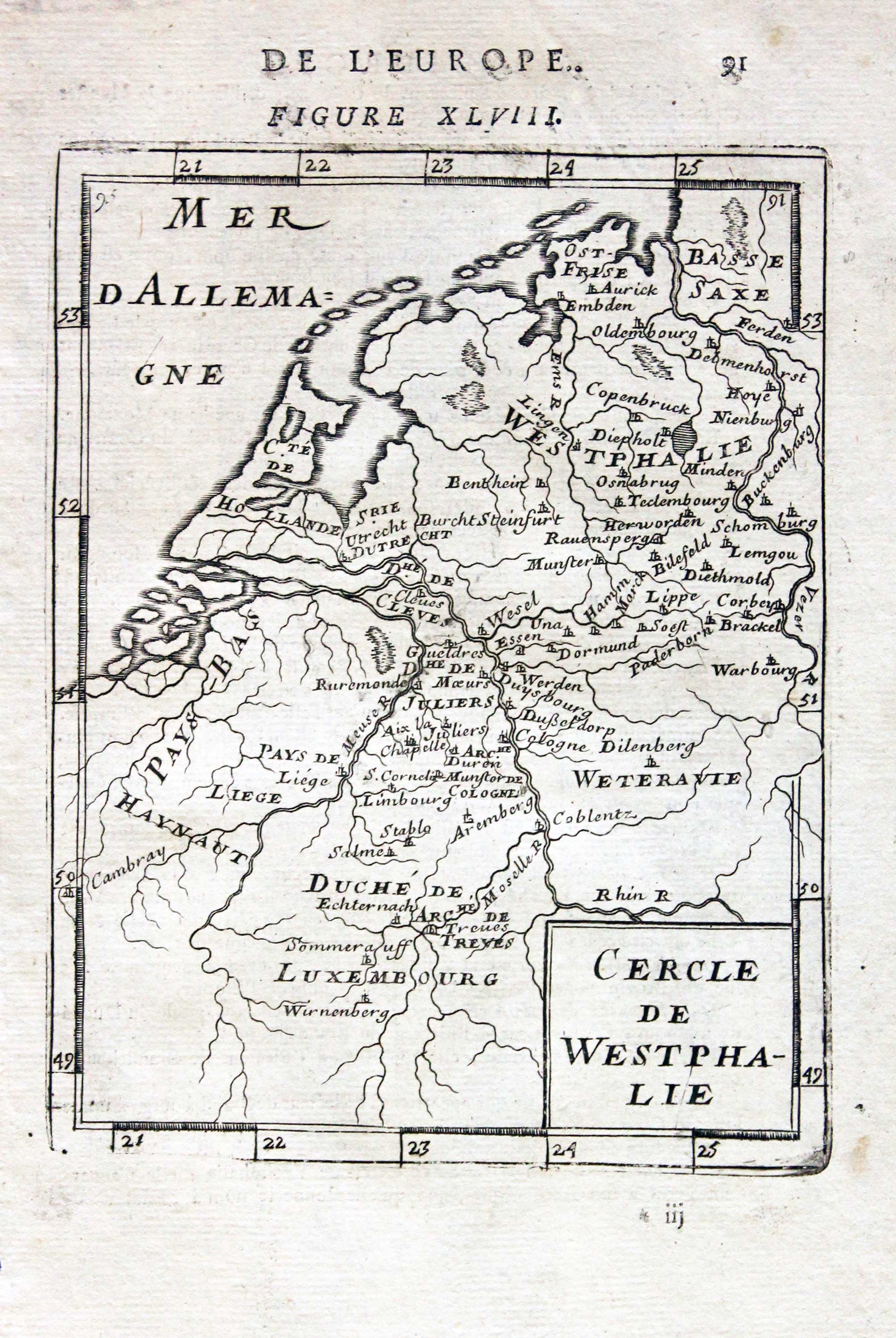
Westphalia, Alain Manesson-Mallet, 1693
31403 Westphalia, Alain Manesson-Mallet, 1693. Price: 20.00
CERCLE DE WESTPHALIE
A miniature engraved map of the region. Title panel. 4 1/2 x 6 1/2 inches. French text on verso. Uncoloured. Good condition.
From: Descriptin de L’Universe
17th Century
-
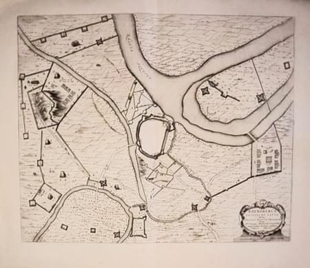
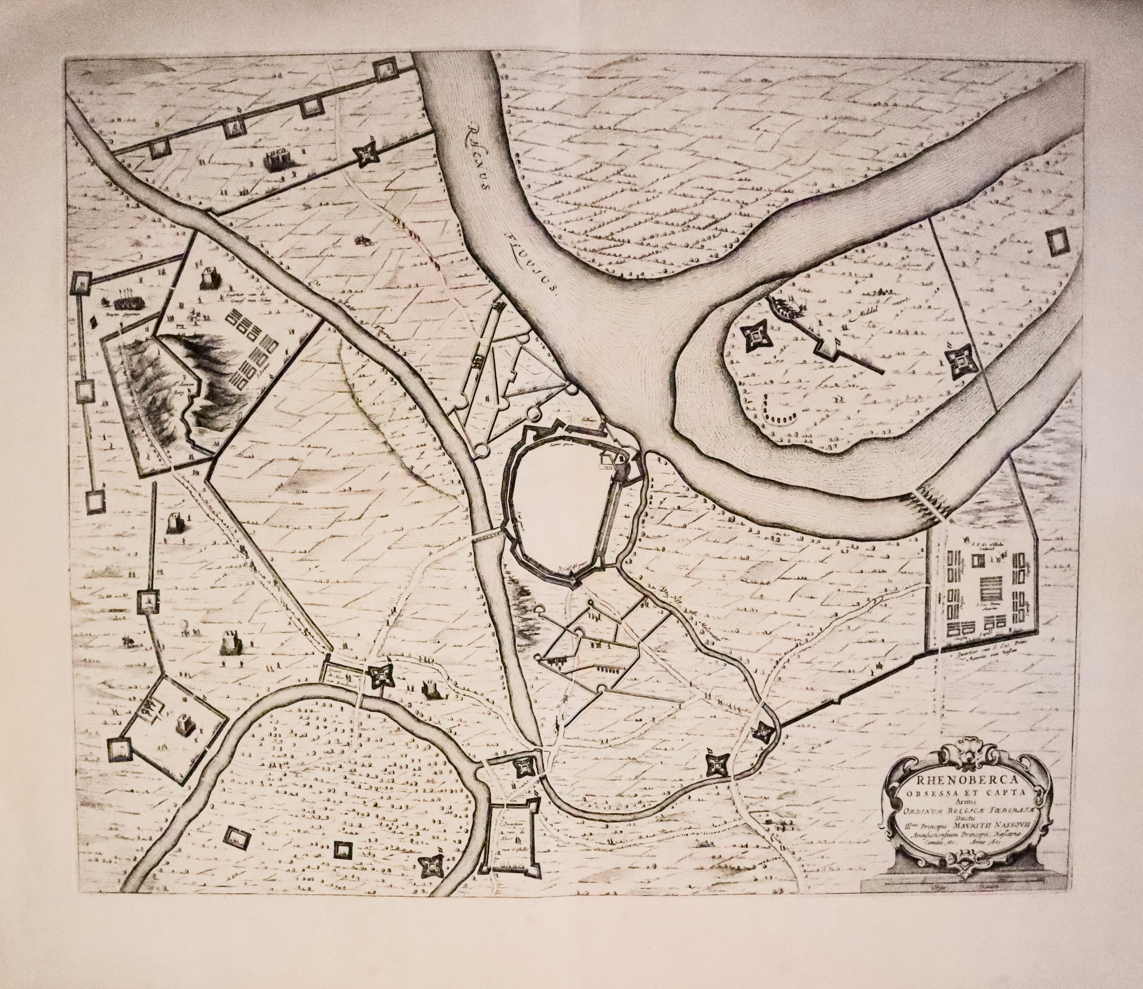
Rheinberg, J Blaeu 1649
33337 Rheinberg, Joan Blaeu, 1649. Price: 200.00
RHEN OBERCA OBESSA ET CAPITA ARMIS ORDIMUM BELGICAE FOEDERATE
A fine mid 17th century map of the town of Rheinberg in the district of Wesel, North Rhine-Westpahia. The title is displayed within a decorative cartouche dated 1601.21 1/2 x 17 3/4 inches. Uncoloured. Plain on verso. Wide blank margins. Good clean condition.
From: Novum ac Magnum Theatrum Urbium Belgicae Foederate.
17th Century
-
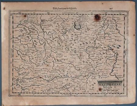
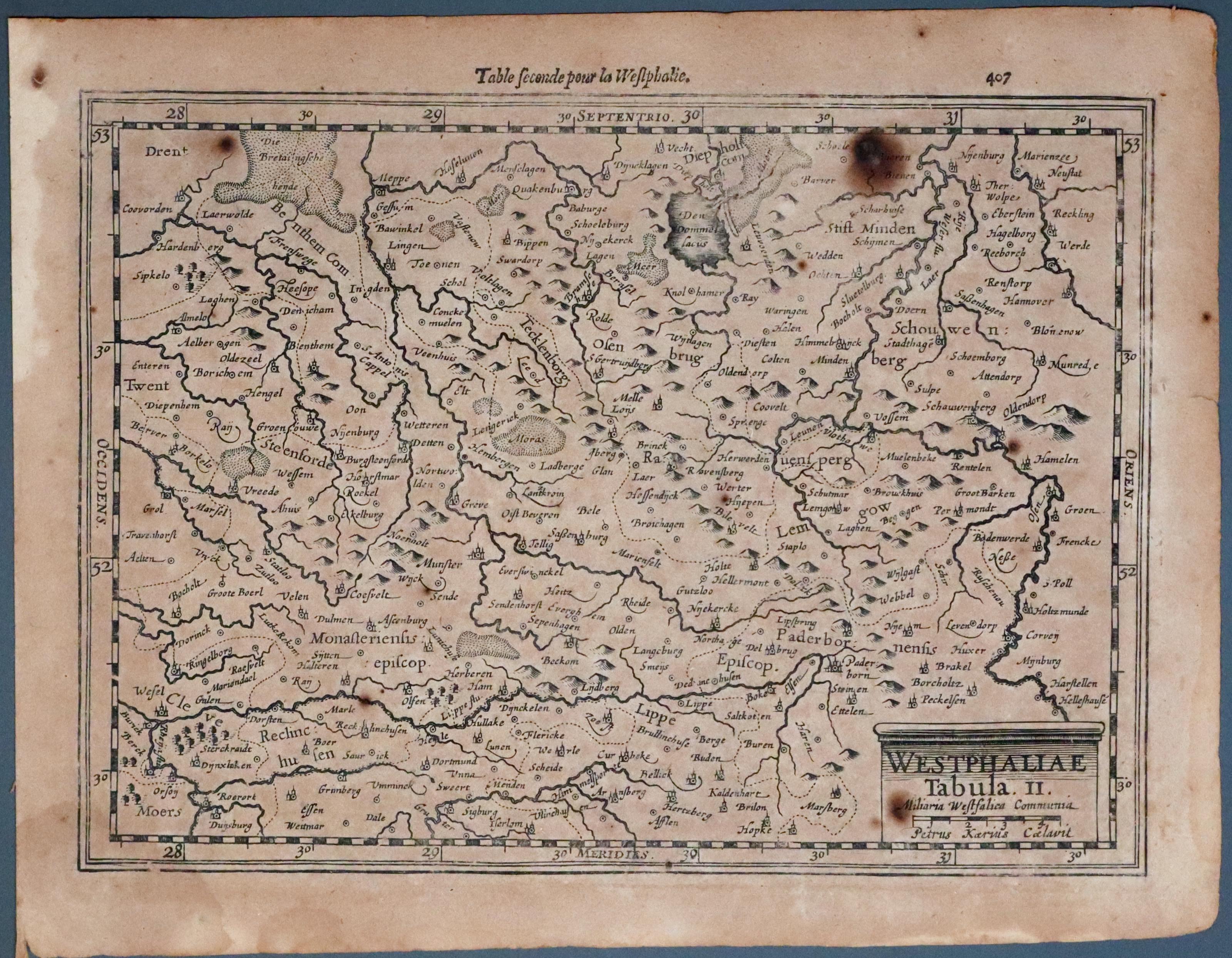
Westphalia Pieter van den Keere, c.1630. Price: 25.00
33532 Westphalia, Mercator/Keere, c.1630. Price: 35.00
WESTPHALIAE TABULA II
An early engraved map of Westphalia in Germany including Osnabruck, Paderboen and Lippe. Tile shown on a plinth bearing the name of Pieter van den Keere. 9 3/4 x 7 inches. French text on verso. Fairly heavy browning with five foxing spots.
SPECIAL PRICE
