Antique Maps of Dorsetshire
Richard Nicholson of Chester
A World of Antique Maps and Prints
Established in 1961
All the Maps on this page are guaranteed to be genuine early specimens
published in or around the year stated
18th Century - Early Hand Colouring
-

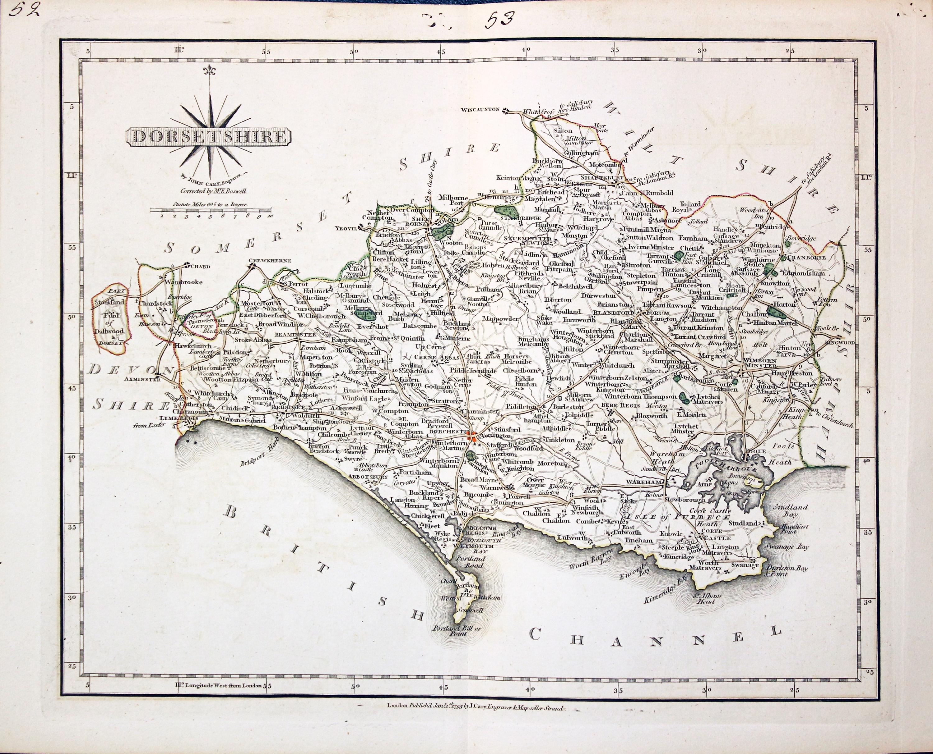
Dorset, John Cary 1793

30982 Dorsetshire, John Cary 1793. Price: 54.00
DORSETSHIRE
A well engraved detailed map of the county with title panel and compass rose combined. Scale. Imprint of John Cary dated 1793. Centre fold. Old manuscript numbering in top blank margin 52 and 53. 10 1/4 x 8 1/4 inches. Original outline hand colouring. Good condition.
From: Cary's New and Correct English Atlas
19th Century - Early Hand Colouring
-
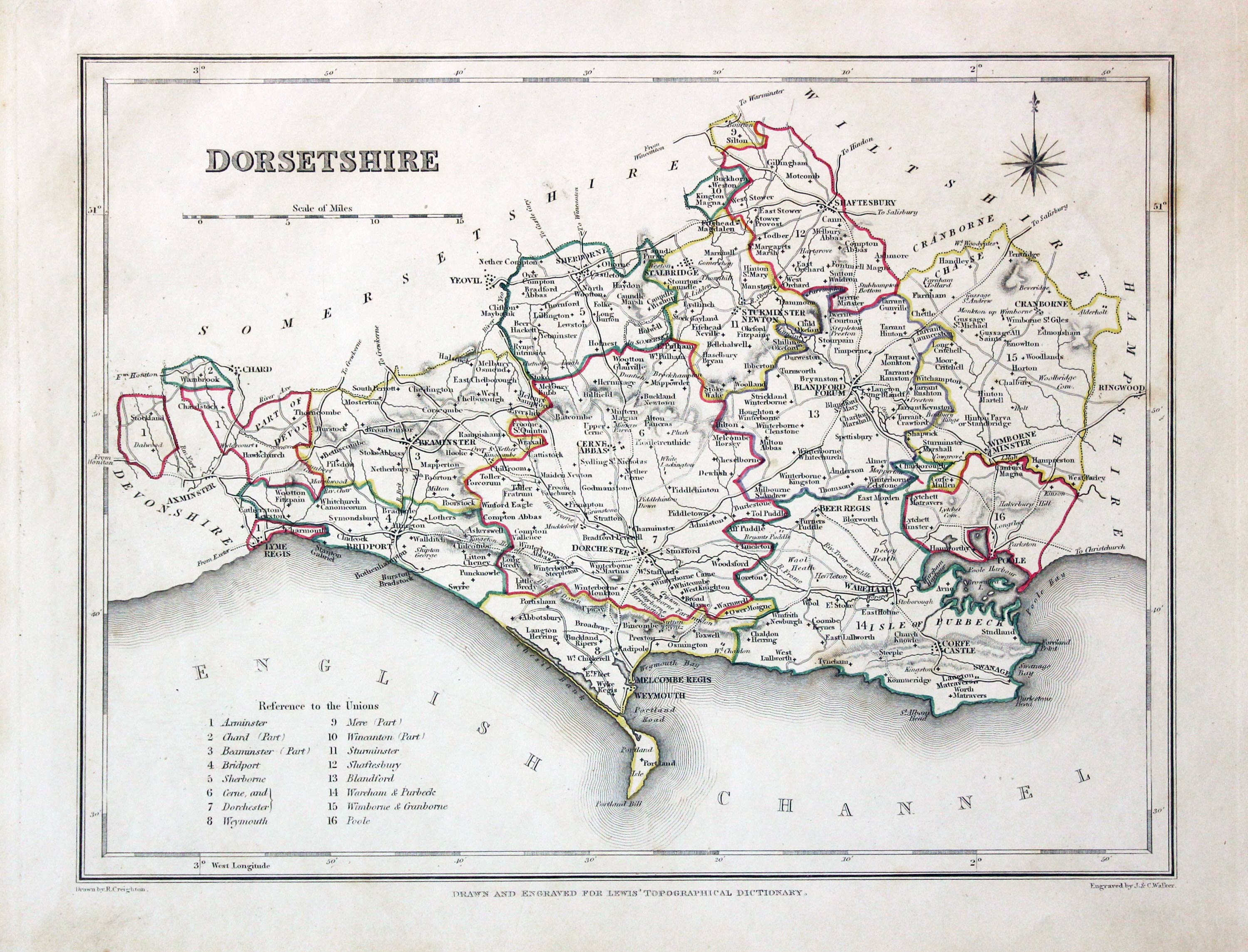
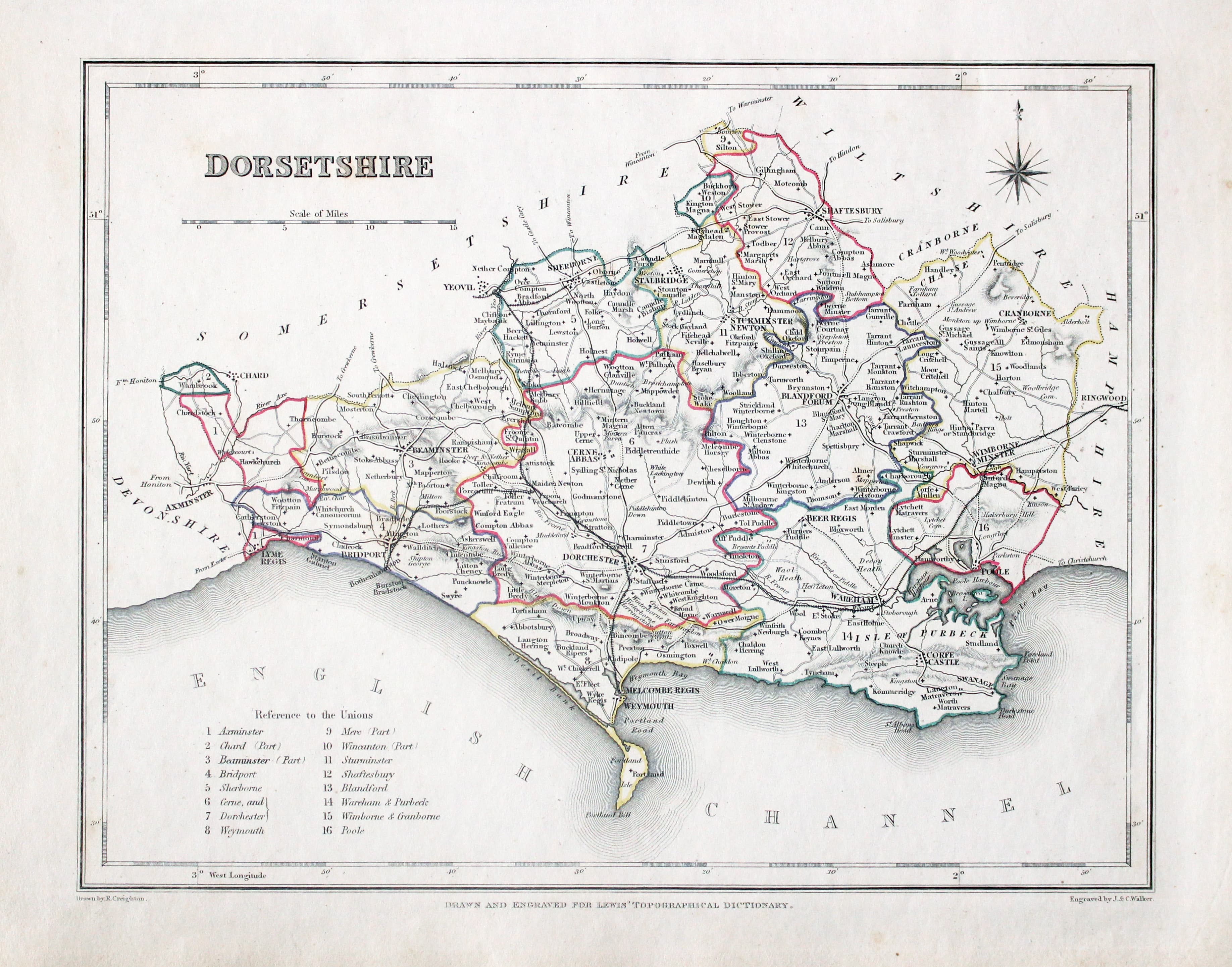
Dorsetshire, Samuel Lewis 1845

31586 Dorsetshire, Samuel Lewis, 1845. Price: 28.00
DORSETSHIRE
A county map drawn by R. Creighton and engraved by J. & C. Walker. 9 1/4 x 6 3/4 inches. Original outline hand colouring. Good clean condition. Straight from the atlas and not sold as a single map before now.
From: Lewis' Atlas to the Topographical Dictionaries of England and Wales
Early 19th Century - Early Hand Colouring
-

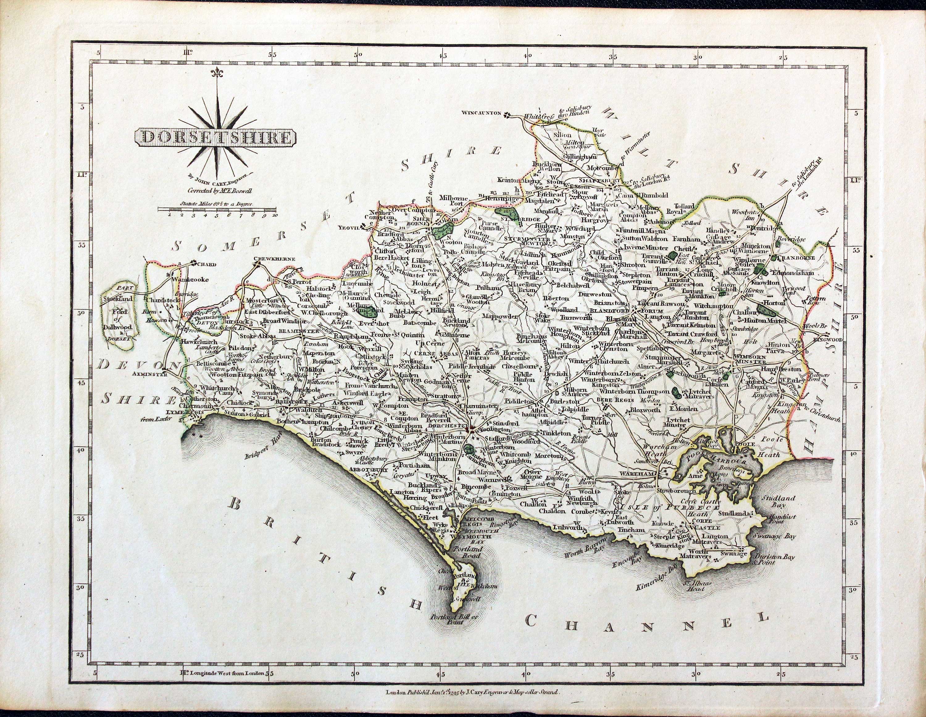
Dorsetshire, John Cary, 1802

31698 Dorsetshire, John Cary, 1802. Price: 60.00
DORSETSHIRE
A well engraved detailed map of the county with title panel and compass rose combined. Scale. Imprint of John Cary dated 1793. With original page of descriptive text. 10 1/4 x 8 1/4 inches. Original outline hand colouring. Good condition. Straight from the atlas and not sold as a single map before.
I have dated this map 1802 because many of the maps in the atlas were watermarked 1802. This map just shows part of a watermark in the bottom left hand corner.
From: Cary's New and Correct English Atlas
18th Century - County and Road Map
-

Map of Dorset by John Owen and Emanuel Bowen published in 1753
-

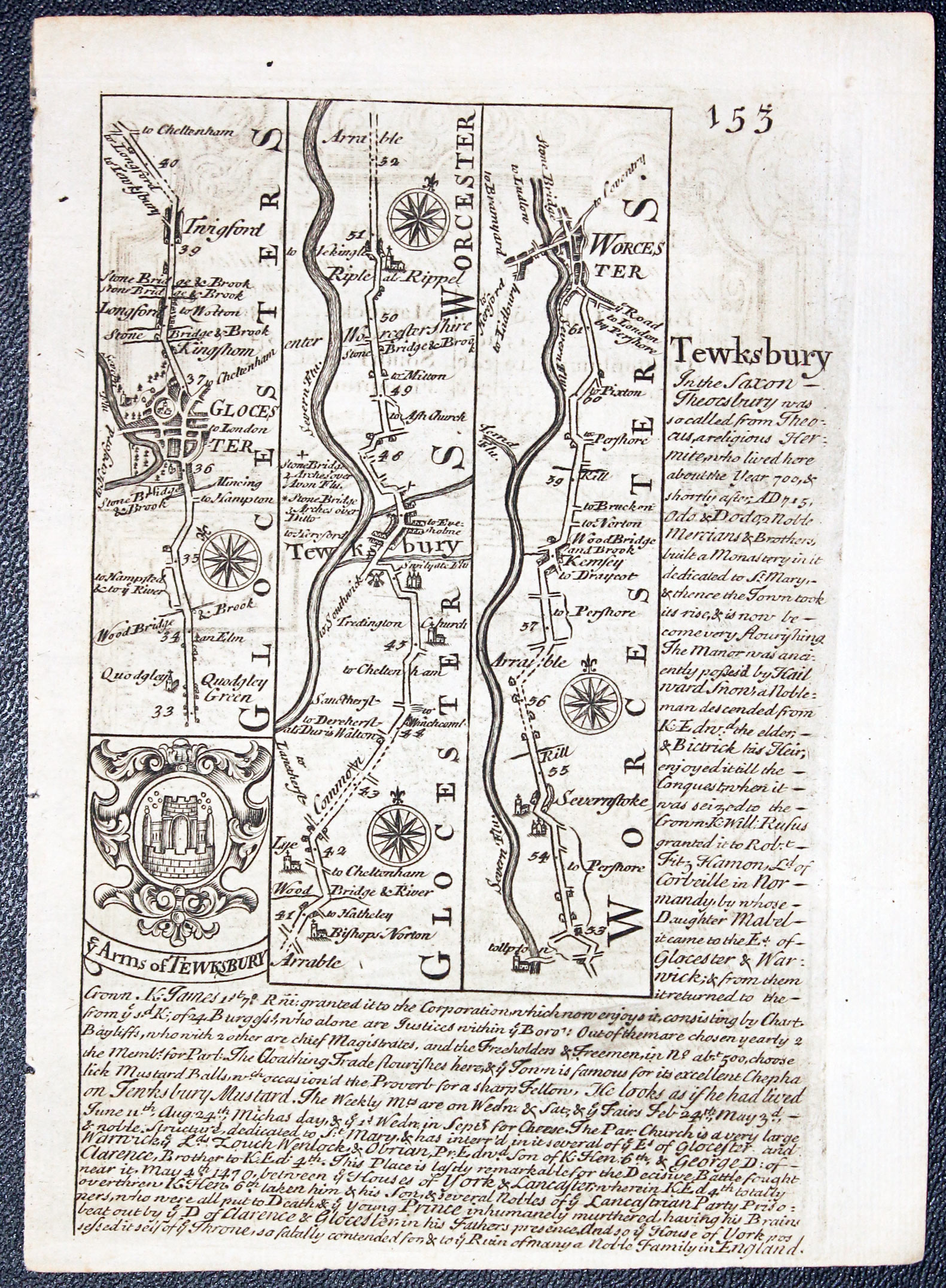
Road map from Gloucester to Worcester by John Owen and Emanuel Bowen published in 1753
32444 Dorsethire, John Owen and Emanuel Bowen, 1753. Price: 45.00
DORSETSHIRE
An engraved county map with list of hundreds and coat of arms surmounted by a decorative baroque cartouche with the title The Road from Bristol to Weymouth.. Beneath the map is a panel with description of the county. The On the verso is a strip road map from Gloucester to Worcester with coat of arms and engraved notes. 4 1/2 x 7 inches. Uncoloured. Good condition. This map has just been taken from the atlas and therefore not previously been sold as a single map.
From: Britannia Depicta
Provenance
-
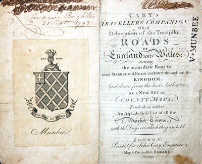
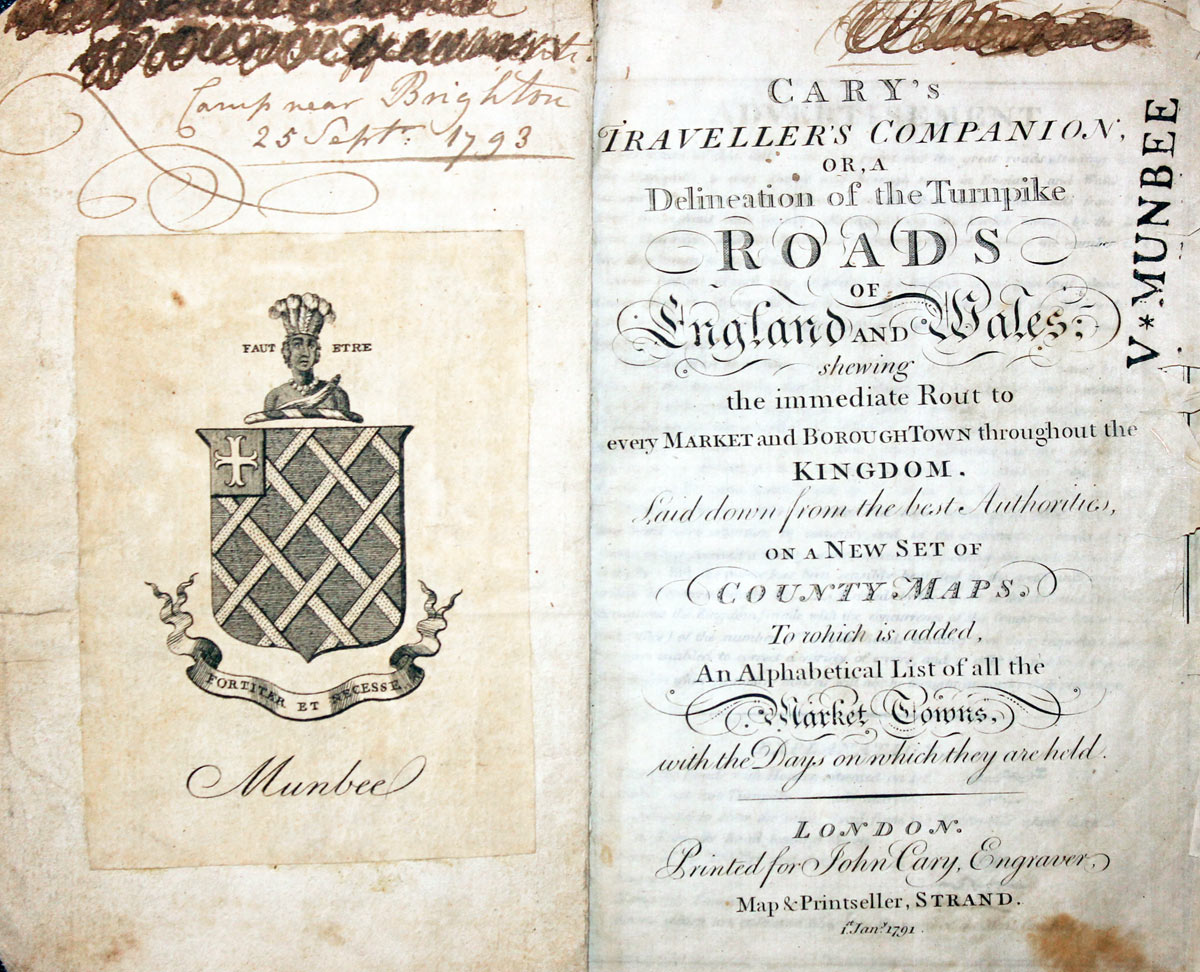
Cary Titlepage and Munbee Bookplate

Early 17th Century
-

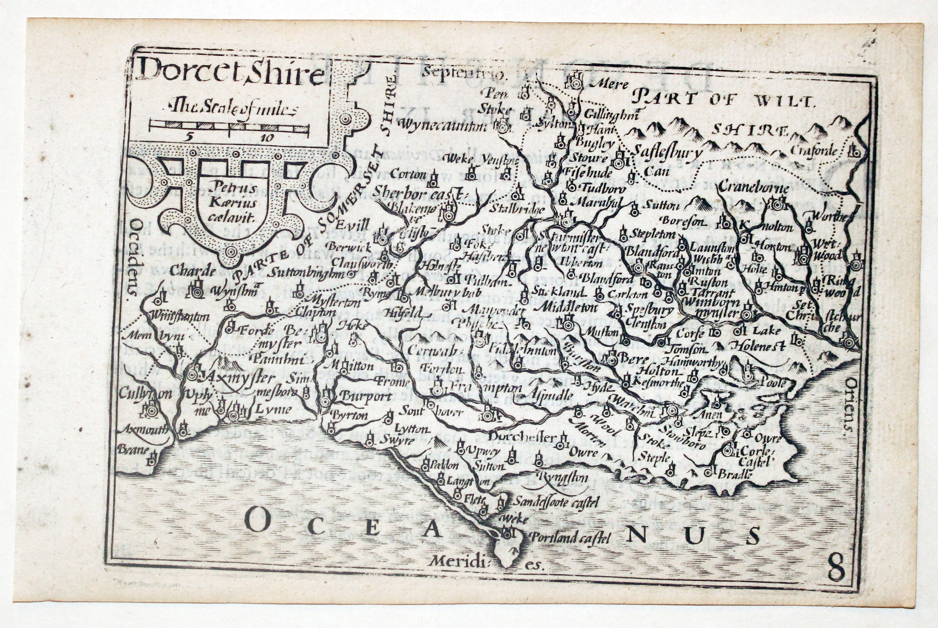
Dorsetshire by Pieter van den Keere, c.1627
-
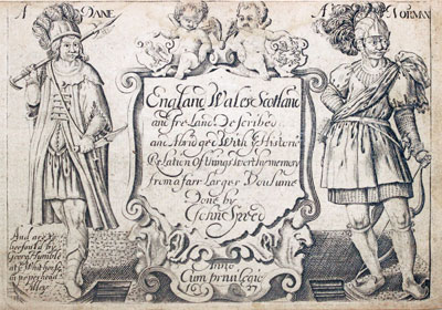
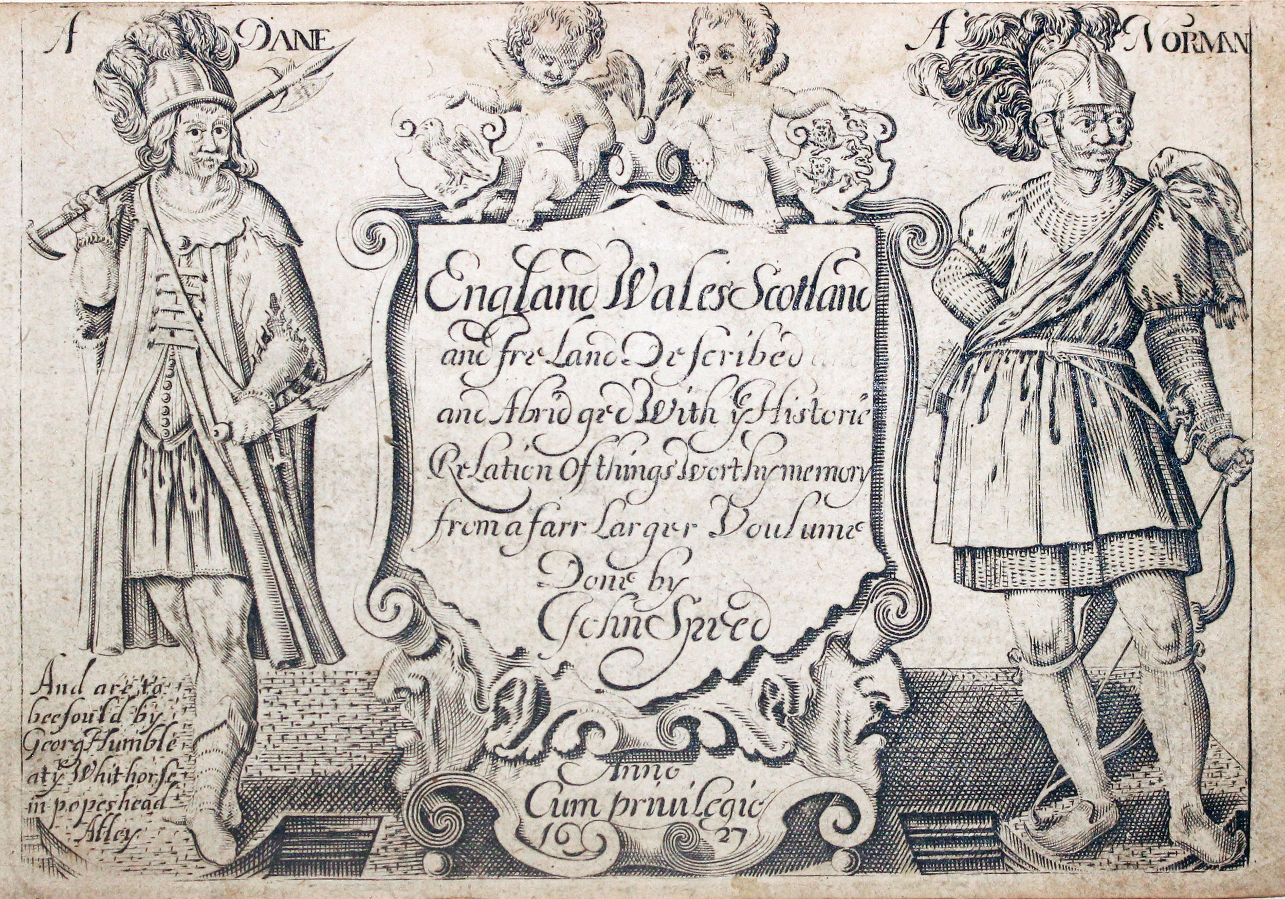
Pieter van den Keere Atlas Titlepage, c.1627
32622 Dorsetshire, Pieter van den Keere, c.1627. Price: 100.00
DORSETSHIRE
A early engraved miniature map of the county. Embellished with decorative cartouche displaying the title and another displaying the scale. Numbered 8. 4 3/4 x 3 1/4 inches. A good clean uncoloured and undamaged specimen Printed slightly off centre which is something you will see with this series of maps. It is usually corrected by outting the map in a sunk mount. The history of Devonshire starts on the verso, in Enlglsh but with the map are the two original double sided pages of text describing Dorsetshire. Straight from the atlas and not previously sold as a single map. The title page of the atlas is dated 1627
From: England Wales Scotland and Ireland Described

19h Century - Early Hand Colouring
-

Map of Dorsetshire by Samuel Lewis 1848

32905 Dorsetshire, Samuel Lewis, 1848. Price: 32.00
DORSETSHIRE
A county map drawn by R. Creighton and engraved by J. & C. Walker. 9 1/4 x 6 3/4 inches. Original outline hand colouring. Good clean condition. Straight from the atlas and not sold as a single map before now.
From: Lewis' Atlas to the Topographical Dictionaries of England and Wales
19th Century
-

Map of Dorsetshire by Thomas Letts

32964 Dorsetshire, Thomas Letts, 1884. Price: 34.00
DORSET
A detailed chromolithograph map of the county. Explanation plus statistics concerning Population, Area, Inhabited Houses, Poor Rate and Paupers. 15 1/2 x 12 3/4 inches. Original centre fold. Imprint of Letts & Son beneath. Fine clean condition. Straight from the atlas so never previously been sold as a single map.
From: Lett’s Popular County Atlas
18th Century - First Edition
-
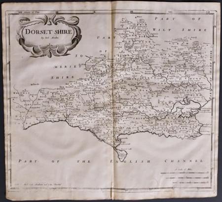
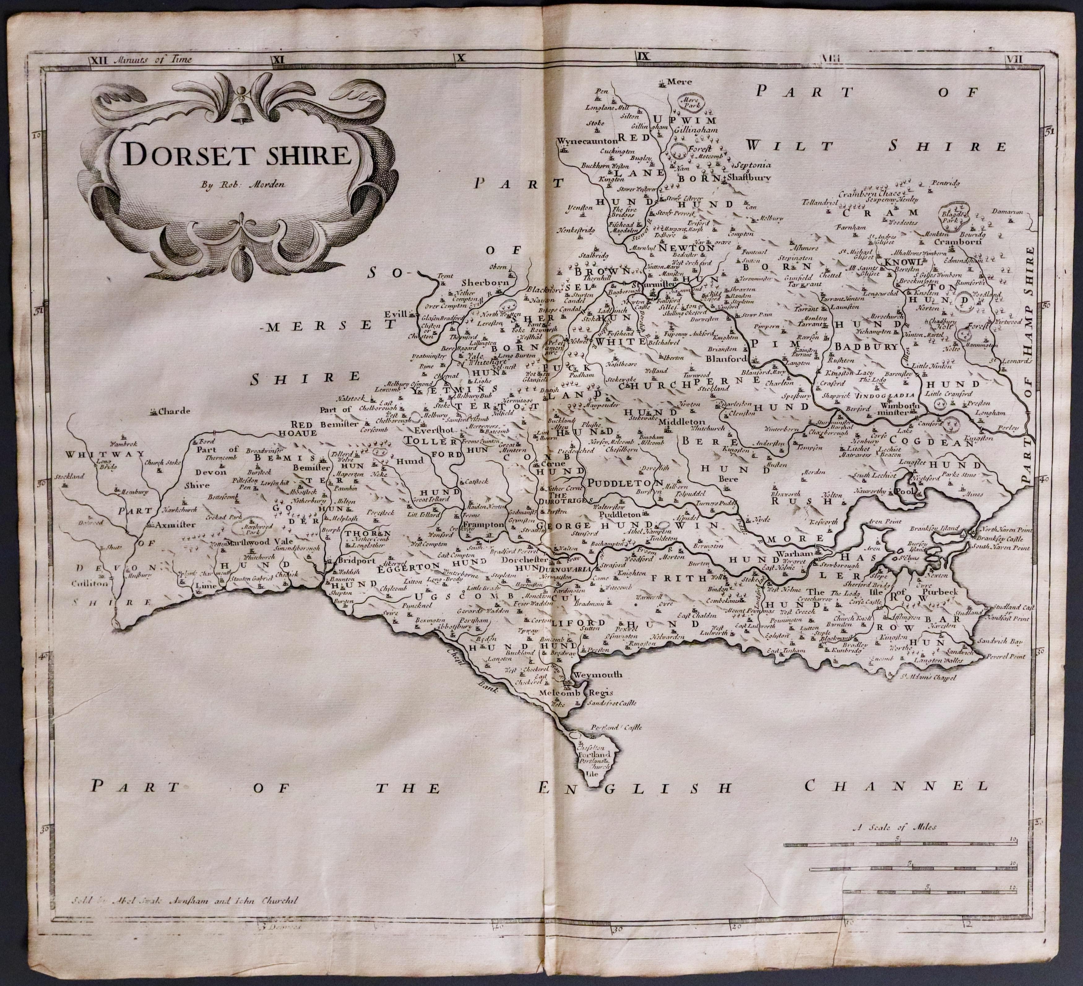
Dorsetshire, Robert Morden 1695
33480 Dorsetshire, Robert Morden 1695. Price: 115.00
DORSET SHIRE BY ROBT. MORDEN
The FIRST EDITION of this good late 17th century engraved map of the county embellished with a decorative title cartouche. Three scales. Imprint of the publishers Abel Swale with Awnsham and John Churchill. 16 1/2 x 14 1/4 inches, 410 x 360 mm. Uncoloured. Small split at the bottom of the centre fold just reaching in the the printed border area. Small side margins which is fairly common with the first edition. Good clean condition on nice crisp paper. This map has been taken straight from the atlas and therefore not previously offered for sale as a single map. One of the first maps of the county to show the main coach roads following Ogilby’s survey some 20 years earlier.
From: Camden's Britannia
