Antique Maps of Hampshire
Richard Nicholson of Chester
A World of Antique Maps and Prints
Established in 1961
All the Maps on this page are guaranteed to be genuine early specimens
published in or around the year stated
Detailed 19th Century Map of Hapshire & Isle of Wight
-

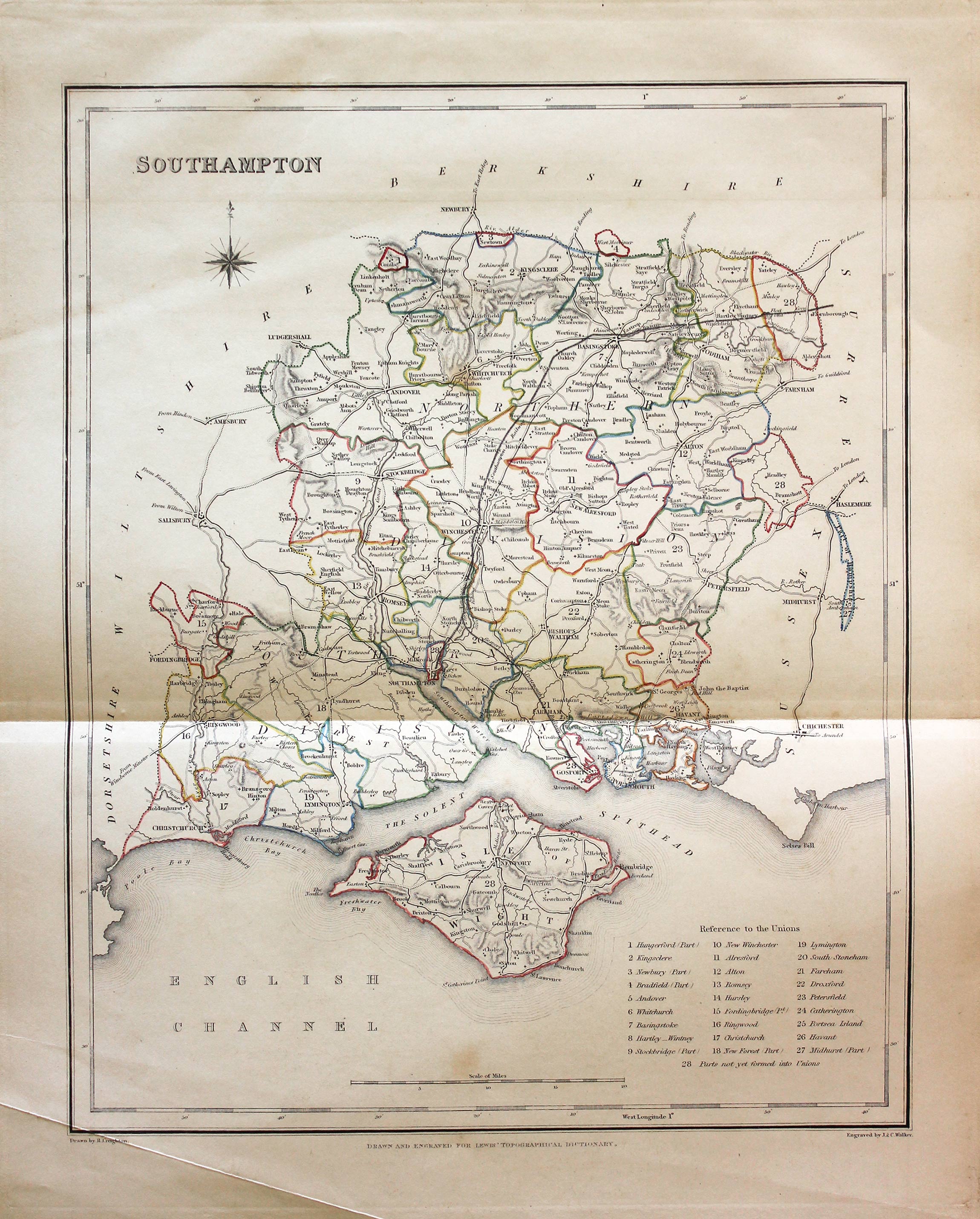
Hampshire, Samuel Lewis 1845
31616 Hampshire, Samuel Lewis, 1845. Price: 25.00
SOUTHAMPTON
A county map of Hampshire and the Isle of Wight drawn by R. Creighton and engraved by J. & C. Walker. Reference to the Unions. Scale and compass rose. 6 3/4 x 9 inches. Original outline hand colouring. Vertical folding crease as issued. Crease line across the bottom of the left hand blank margin corner just touching edge of engraved border otherwise good clean condition. Straight from the atlas and not sold as a single map before now.
From: Lewis' Atlas to the Topographical Dictionaries of England and Wales

"Miniature John Speed" Map of Hampshire
-

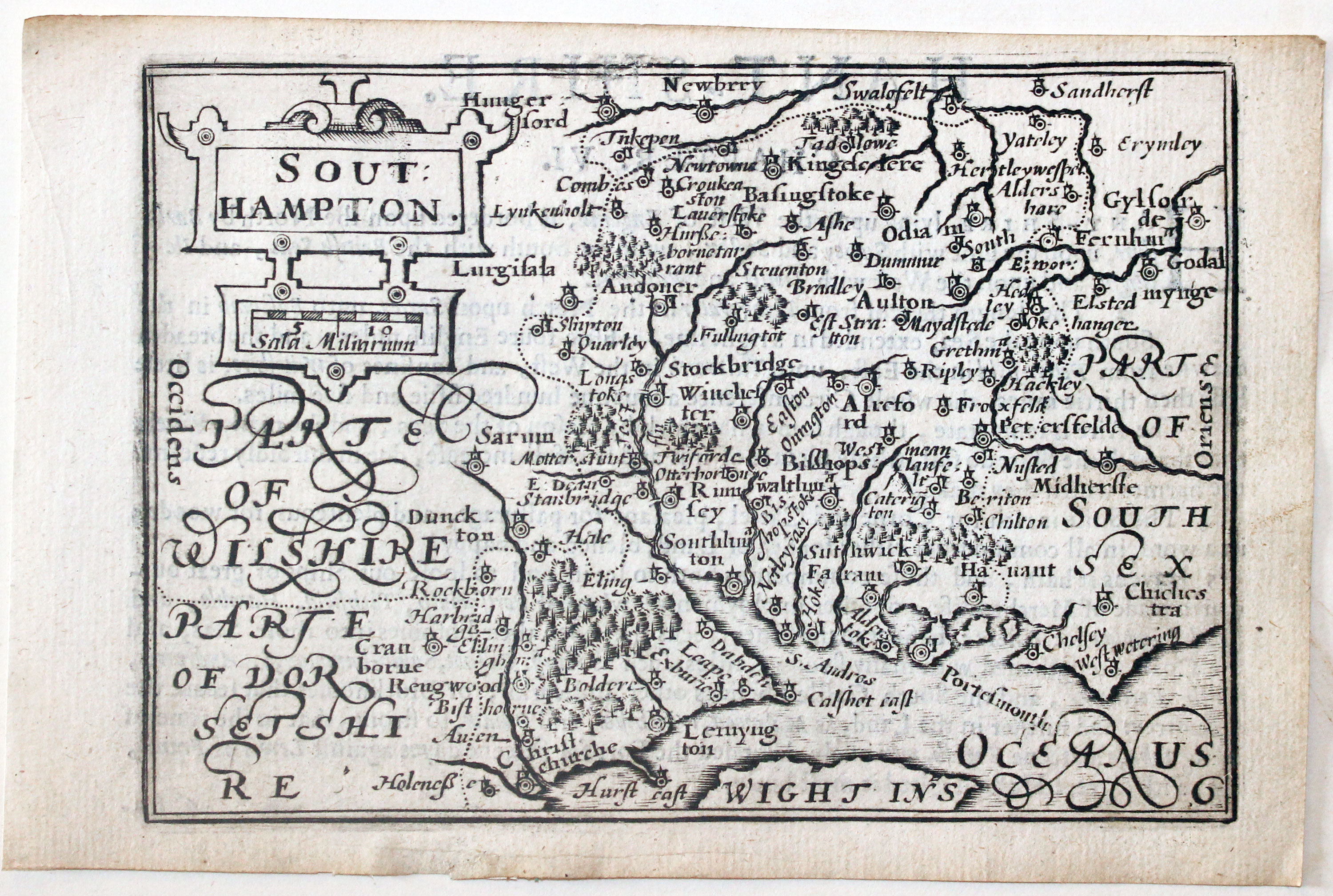
Hampshire by Pieter van den Keere, c.1627
-
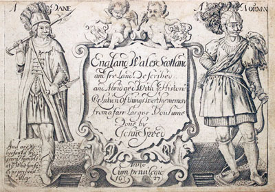
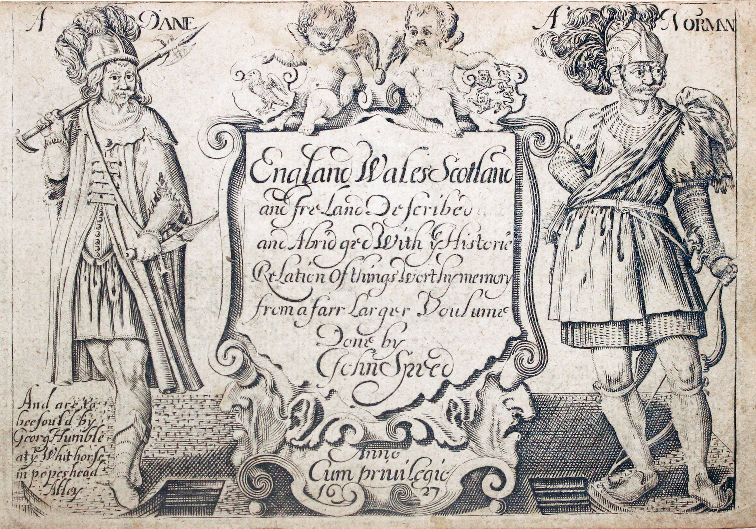
Pieter van den Keere Atlas Titlepage, c.1627

32621 Hampshire Pieter van den Keere, c.1627. Price: 100.00
SOUTHAMPTON
A early engraved miniature map of Hampshire. Embellished with decorative cartouche displaying the title and scale. Numbered 6. 4 3/4 x 3 1/4 inches. Other than a tiny repair to the bottom blank margin a clean uncoloured specimen. A history of Hampshire in English appears on verso but with the map are a further two pages of double sided text giving the complete description of Hampshire. Straight from the atlas and not previously sold as a single map. The title page of the atlas is dated 1627
From: England Wales Scotland and Ireland Described
19th Century Detailed Antique Map of Hampshire & Isle of Wight
-

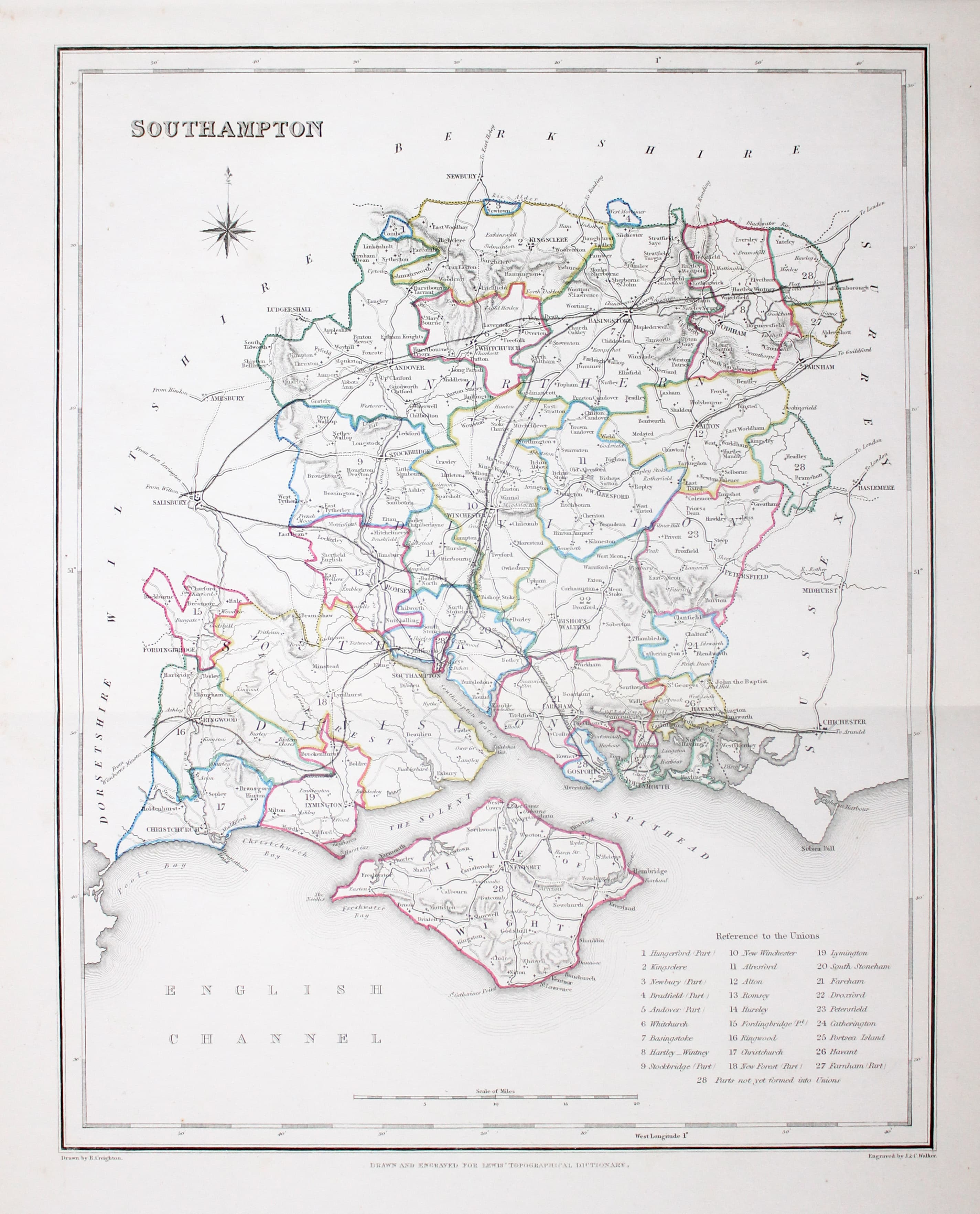
Map of Hampshire, Samuel Lewis 1848
32935 Hampshire, Samuel Lewis, 1848. Price: 32.00
SOUTHAMPTON
A county map of Hampshire and the Isle of Wight drawn by R. Creighton and engraved by J. & C. Walker. Reference to the Unions. Scale and compass rose. 6 3/4 x 9 inches. Original outline hand colouring. Vertical folding crease as issued. Good clean condition. Straight from the atlas and not sold as a single map before now.
From Lewis' Atlas to the Topographical Dictionaries of England and Wales

Blome's Smaller 18th Century Map of Hampshire
-

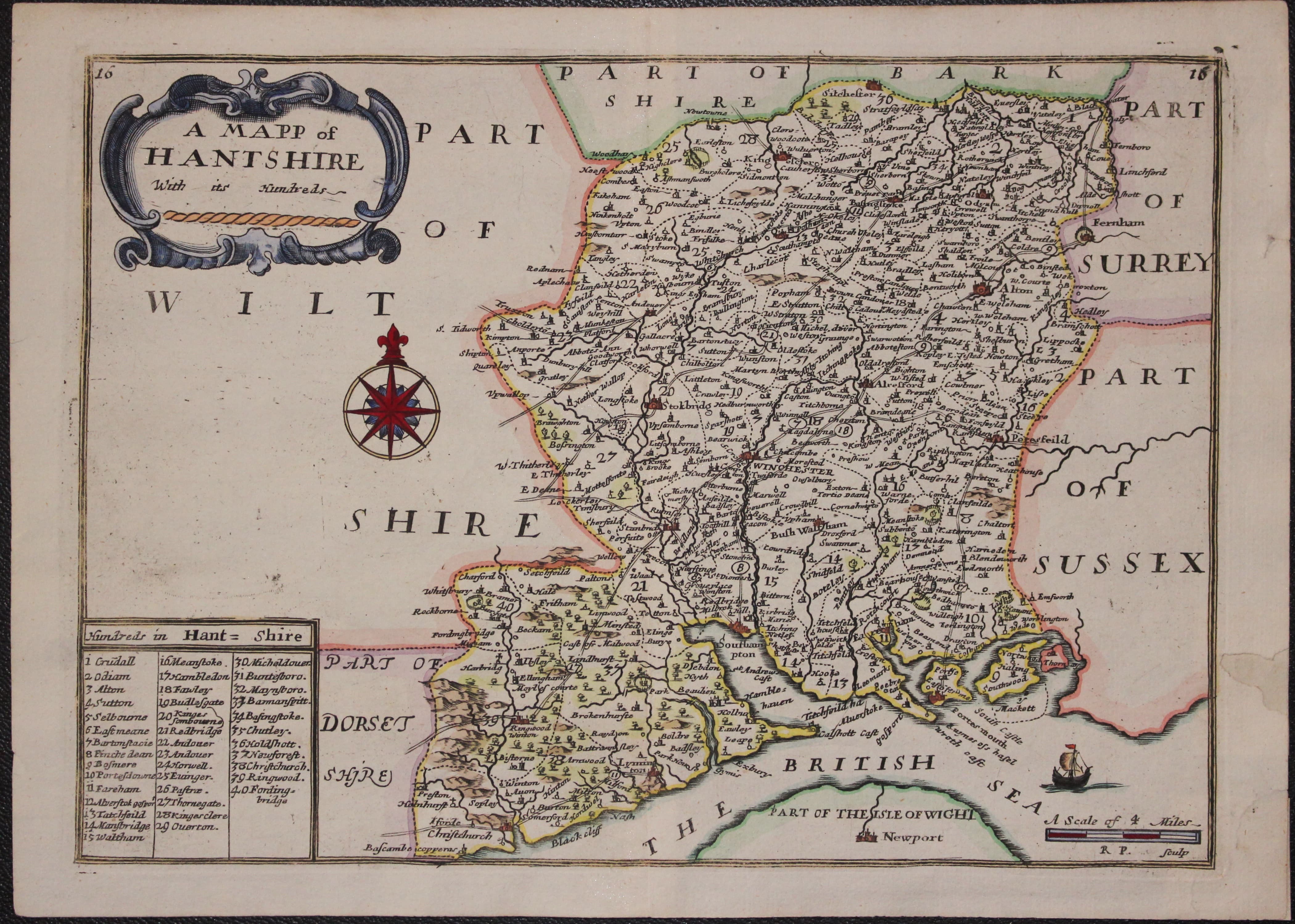
Map of Hampshire by Richard Blome c.1735
33143 Hampshire, Richard Blome, c.1735. Price: 72.00
A MAPP OF HANTSHIRE WITH ITS HUNDREDS
A delightful map of the country from Blome’s smaller series of county maps. Embellished with a decorative title cartouche, compass rose rose list of hundreds, scale and a ship off the coast of the Isle of Wight. The map is numbered 16 in the top left and right hand corners. This map come from the later edition by Thomas Bakewell which included the addition of roads. 9 3/4 x 7 inches. Attractive hand colouring. Two small repairs on verso to the right hand blank margin. Otherwise a nice clean specimen on stout paper. Original centre fold.
Probably from: England Exactly Described

Detailed Map of Hampshire showing the Railways
-

Hampshire by Jusha Archer c.1845

33312 Hampshire, Joshua Archer, c.1843. Price: 14.00
HAMPSHIRE
A detailed engraved map of the county with the Isle of Wight. Explanation and list of divisions. 7 x 9 1/4 inches. Original blue hand colouring to show the railways. Original centre fold. Good condition.
From: Dugdale's England and Wales Delineated.
Georgian Road Map of Hampshire with Early Colouring
-

Roads in Hampshire & Wiltshire, Laurie & Whittle c.1827
33322 Roads in Hampshire and Wiltshire, Robert Laurie & James Whittle, c.1827. Price: 29.00
Commencement of the Road to the Lands End, as far as Salisbury with Roads to Gosport, Lymington, Christchurch, Winchester, Ringwood, E. Lavington and Devizes
An engraved map including par of Wiltshire, Hampshire Berkshire and Middlesex. 10 x 11 3/4 inches. Early hand colouring. Some light offsetting. Long split in the centre fold repaired. Small brown smudge in the top right hand corner. Some light creasing. Imprint of Richard Holmes Laurie. Paper watermarked with date of 1825.
From: Laurie’s Travellers Companion

Christopher Saxton's Revised Map of Hampshire by Philip Lea - Sold by George Willdey
-

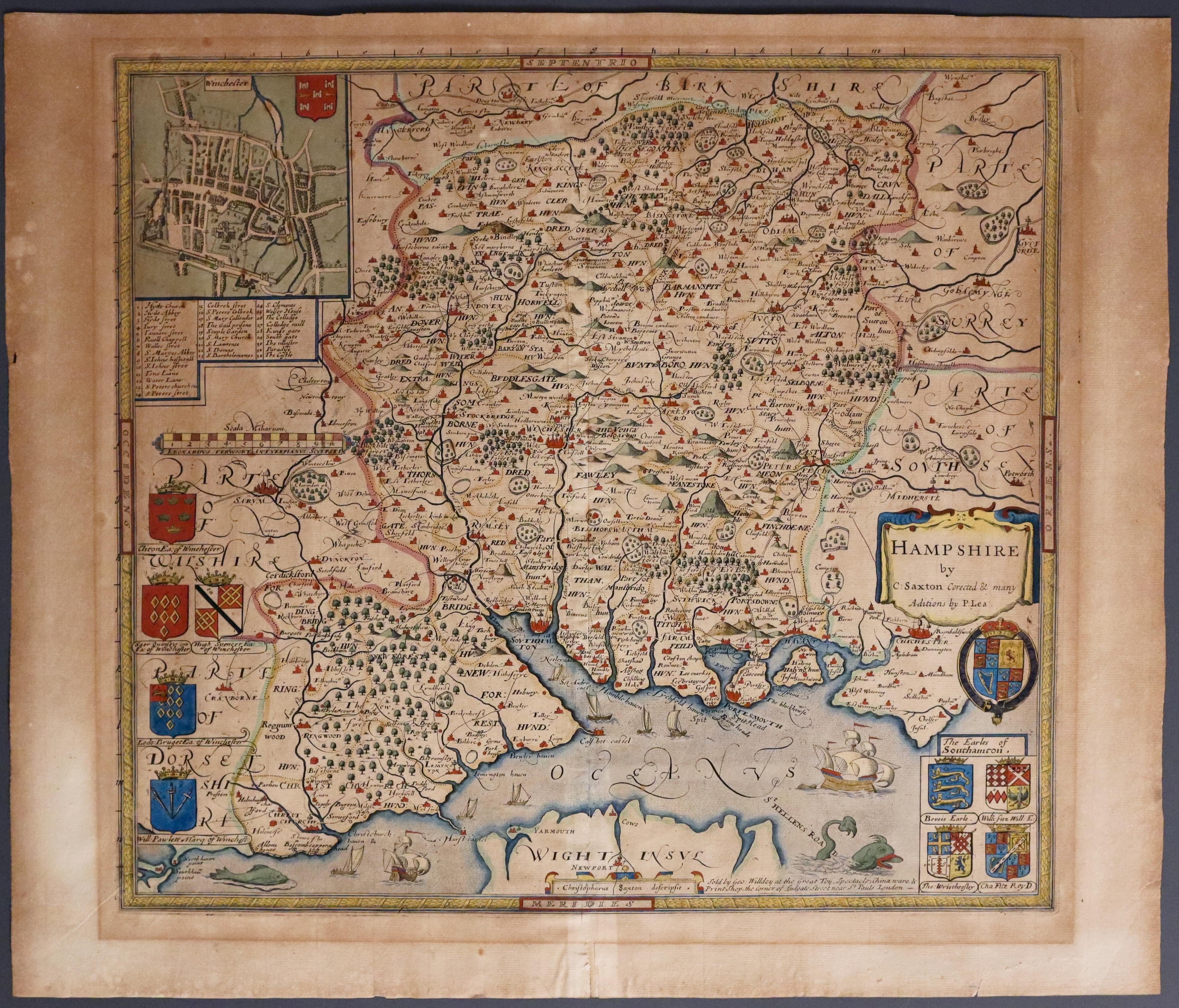
Hampshire by Philip Lea, c.1693
-

Verso of Hampshire by Philip Lea, c.1693
33428 Hampshire, Philip Lea / George Willdey, 1720. Price: 1200.00
HAMPSHIRE BY C. SAXTON CORRECTED & MANY ADITIONS BY P. LEA - LATER SOLD BY GEORGE WIIDEY
The Philip Lea edition of Saxton's map of the county of Hampshire. Title cartouche, inset town plan of Winchester with a key listing 32 places of interest, the Royal Arms and two groups of coats of arms showing the arms of the Earls of Southampton. Scale. Ten sailing ships shown on the Solent and two sea monsters. Later hand colouring. 17 x 15 1/2 inches. Imprint of George Willdey at the base of the map. The map is lightly toned all over and a change in the toning shows where the map has been in a sunk mount in the past. Two small repairs on verso with archival tape otherwise good condition. An important addition to any collection of old maps.
This map was printed from the original plate engraved by Lenaert Terwoort (flourished from 1575-15910) with later re-engraving by Philip Lea who had acquired the plate around 1689. The plate was later acquired by George Willdey who added his imprint to the left of the group of four coats of arms. It reads Sold by Geo. Willdey at The Great Toy Spectacle, China ware & Print Shop , the corner of Ludgate Street near St. Pauls London
18th Century - First Edition
-

Hampshire, Robert Morden 1695
33483 Hampshire, Robert Morden 1695. Price: 65.00
HAMPSHIRE BY ROBT. MORDEN
The FIRST EDITION of this good engraved map of the county embellished with a decorative title cartouche. Three scales. Imprint of the publishers Abel Swale, Awnsham Churchill and John Churchill. 16.5 x 14 inches, 420 x 355 mm. Uncoloured. Original centre fold. 7 inch split in the centre fold with old repair on verso. Two other repair patches on verso with single pin hole. Tear in top blank margin near the centre fold. Two small tears in the bottom blank margin. Small blank margin on the left hand side and some trimmin on the right hand side printed border. Nice dark impression. This map has been taken straight from the atlas and therefore not previously offered for sale as a single map.
From: Camden's Britannia
SPECIAL PRICE
