Antique Maps of Huntingdonshire
Richard Nicholson of Chester
A World of Antique Maps and Prints
Established in 1961
All the Maps on this page are guaranteed to be genuine early specimens
published in or around the year stated
19th Century - Town Plan
-

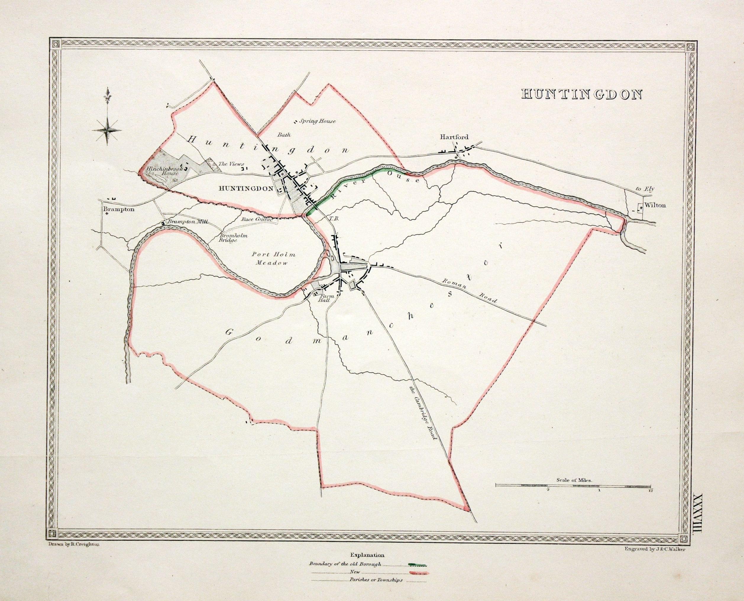
Huntingdon, Samuel Lewis, c.1835
7626 Huntingdon, Samuel Lewis, c.1835. Price: 12.00
HUNTINGDON
A simple plan of the town and environs. Drawn by R. Creighton and engraved by J. & C. Walker. 9 x 7 inches. Original outline hand colouring. Good condition.

19th Century - Fox Hunting
-

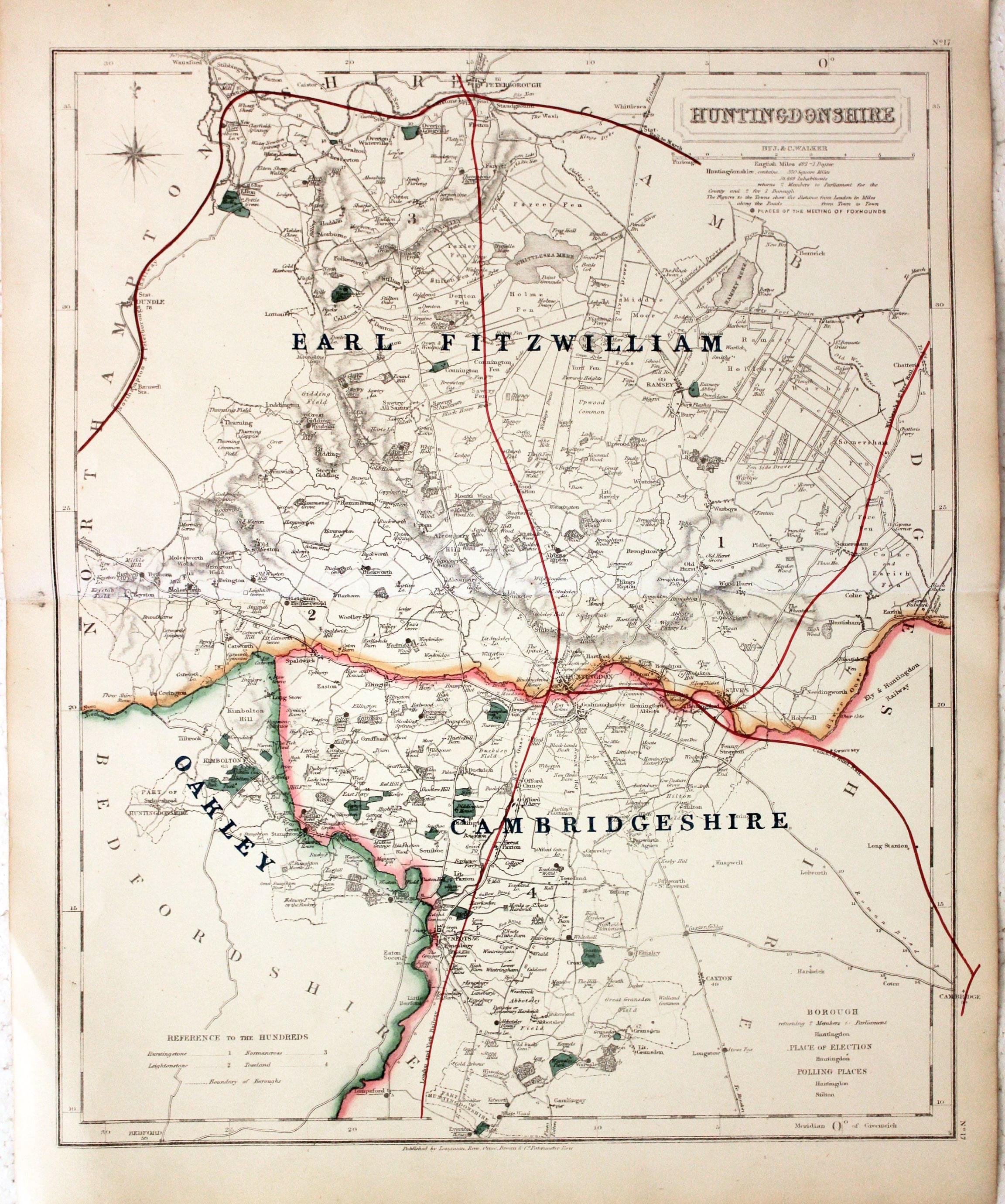
Huntingdonshire, John and Charles Walker, c.1860


9986 Huntingdonshire, John and Charles Walker, c.1860. Price: 35.00
HUNTINGDONSHIRE
J. & C. Walker's map of the county which has been adapted to show the boundaries for fox hunting. The Cambridgeshire, Oakley and Earl Fitzwilliam.Black spots denote the places of the meeting of foxhounds. 12 3/4 x 15 1/2 inches,. Original outline hand colouring. Good condition.
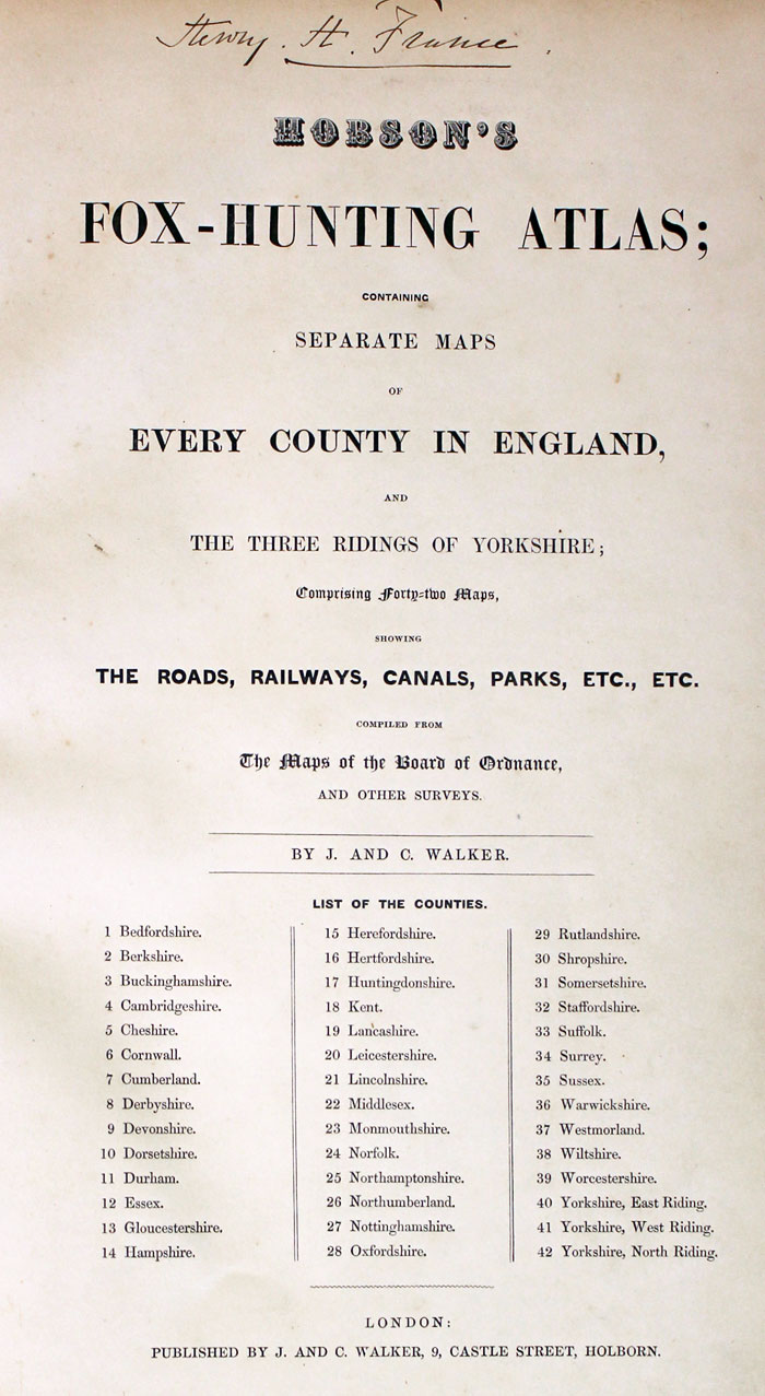
From: Hobson's Fox Hunting Atlas showing the places of the Meeting of the Hounds
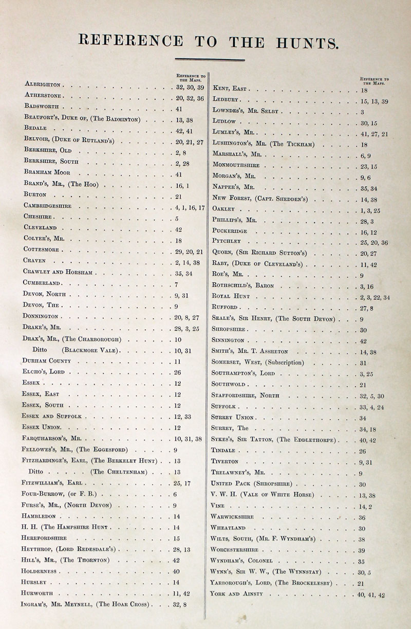
TITLE PAGE AND LIST OF HUNTS
-
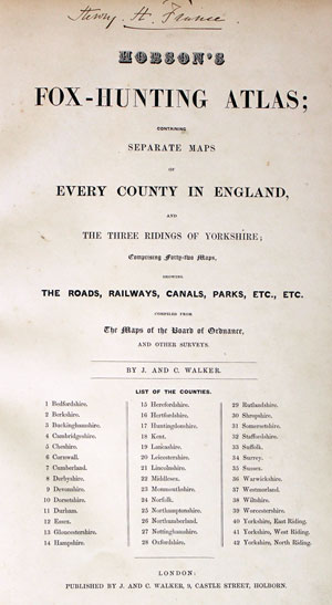
Hobson Fox Hunting Atlas Titlepage
-
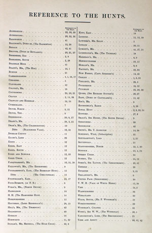
Hobsons Fox Hunting Atlas List of Hunts
18th Century - Road Map
-

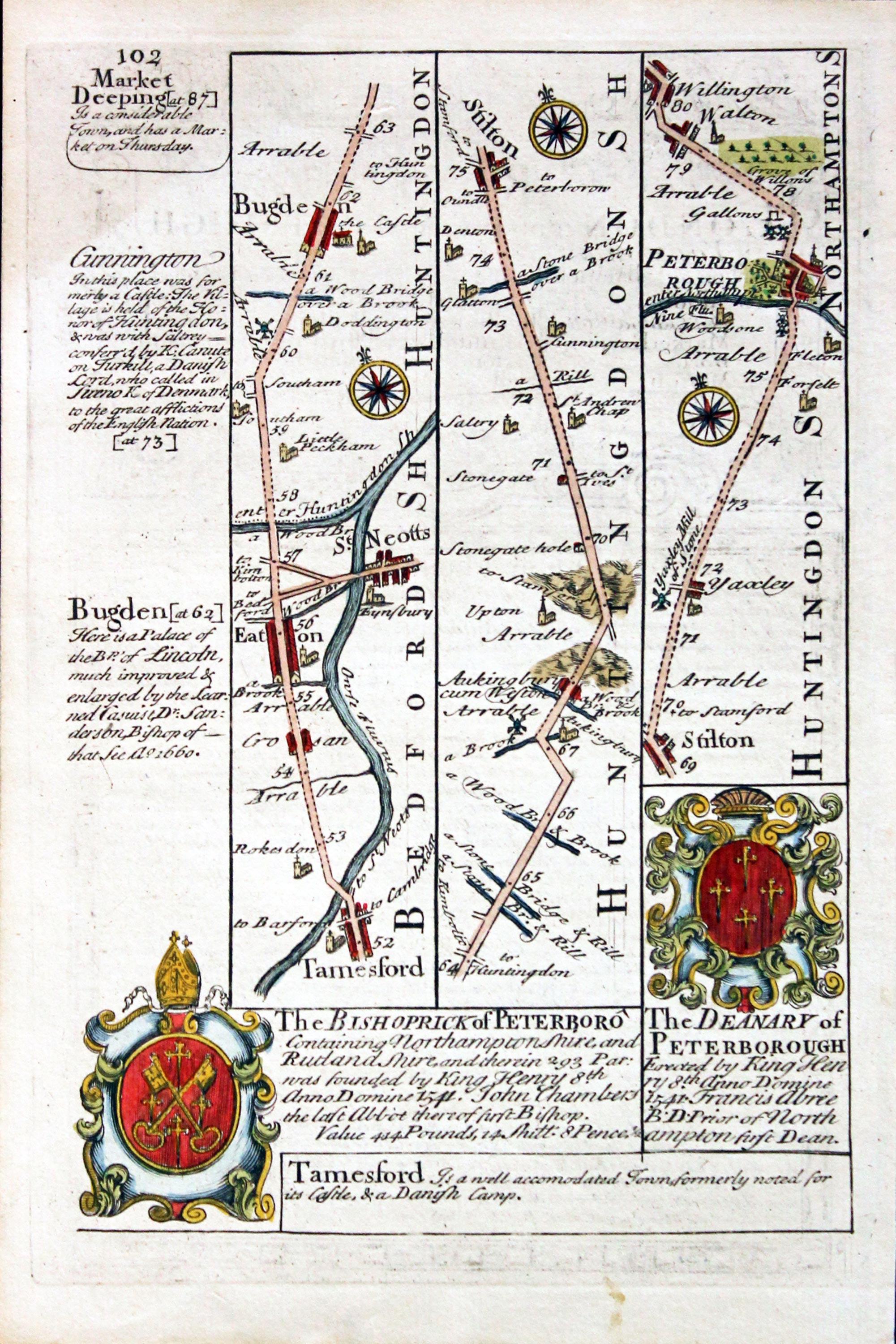
Tamesford to Peterborough, John Owen and Emanuel Bowen c.1730

11651 Road Map - Tamesford to Peterborough, John Owen and Emanuel Bowen c.1730. Price: 25.00
Plate 101 /102
A strip road map of the route from Tamesford to Peterborough embellished with two coats of arms and engraved notes. On the verso is a baroque cartouche titles The Road from London to Flamborough with part of a description of London in a panel beneath. 4 1/2 x 7 inches. Attractive hand colouring. Good clean undamaged condition.
From: Britannia Depicta
18th Century - County and Road Map
-
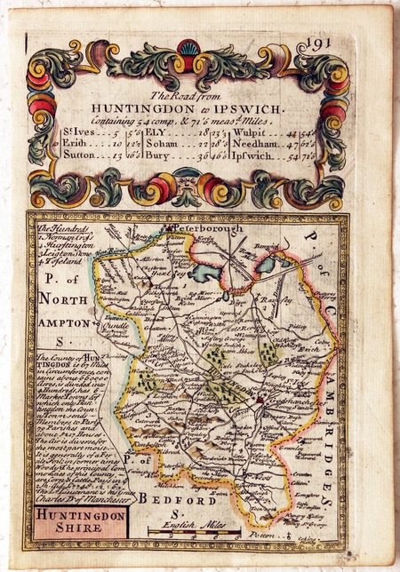
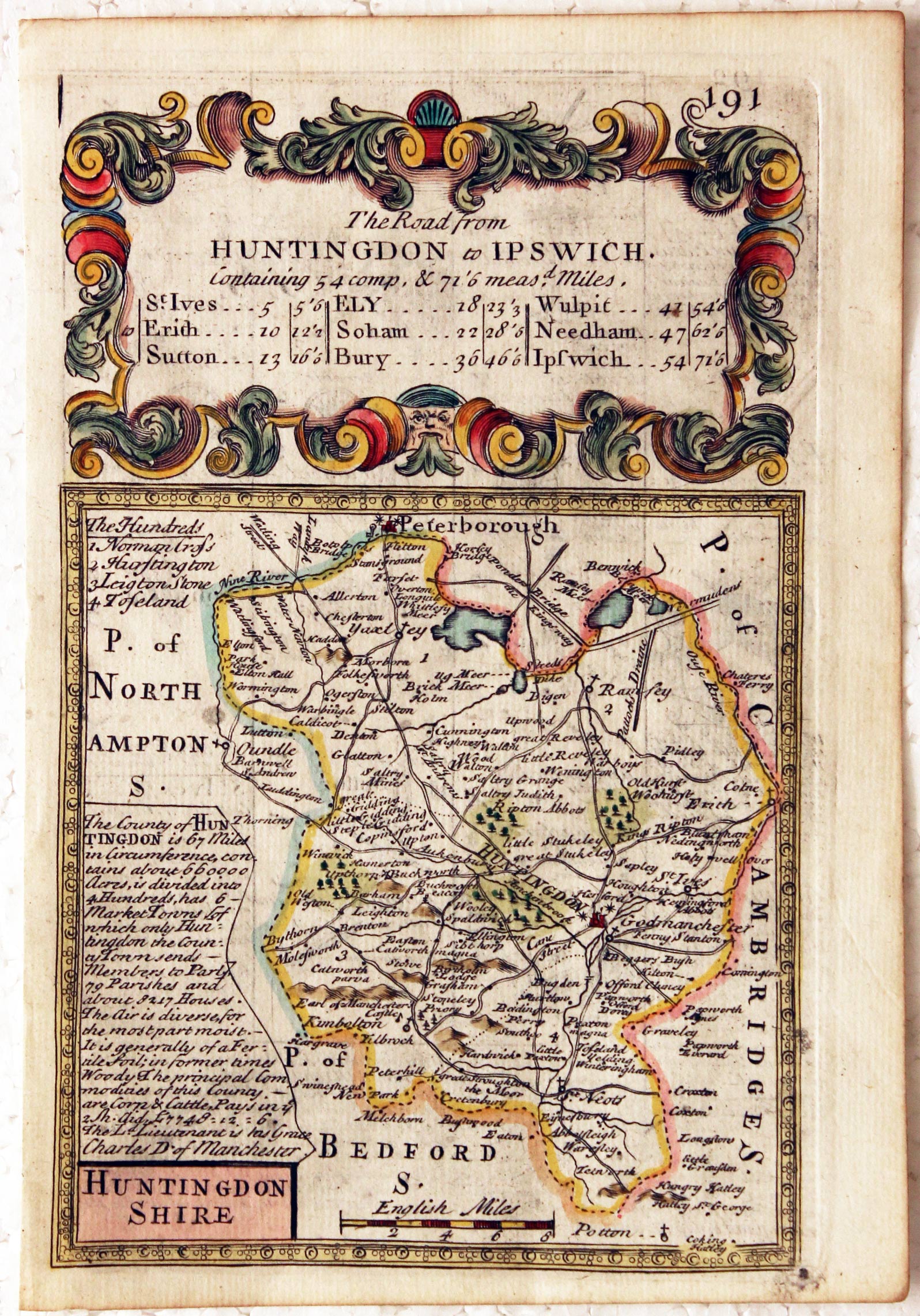
Huntingdonshire, John Owen / Emanuel Bowen, c.1730
13408 Huntingdonshire, John Owen / Emanuel Bowen, c.1730. Price: 30.00
HUNTINGDONSHIRE
A small engraved county map with description and list of hundreds. The map is surmounted by a baroque cartouche titled The Road from Huntingdon to Ipswich. On the verso is a strip road map from Huntingdon to Ely and Soham with coat of arms and engraved notes. 4 1/2 x 7 inches. Hand coloured on both sides.
From: Britannia Depicta

18th Century
-

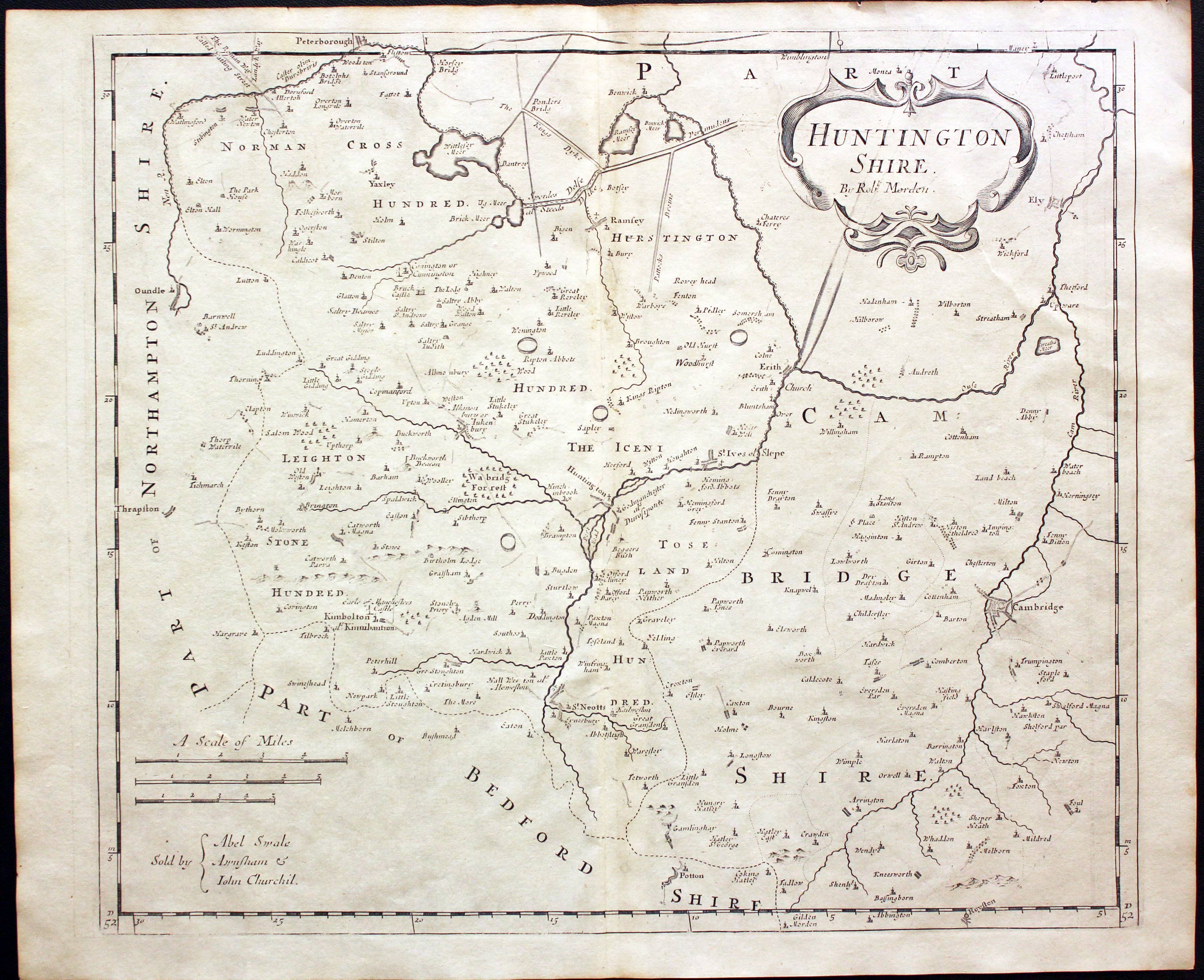
Huntingdonshire, Robert Morden, 1722

13773 Huntingdonshire, Robert Morden, 1722. Price: 46.00
HUNTINGTON SHIRE By Robt. Morden.
A good engraved map of the county embellished with a decorative title cartouche. Three scales. Publisher's imprint. 16 3/4 x 14 inches, 422 x 357 mm. Uncoloured. Good condition.
From: Camden's Britannia
18th Century
-
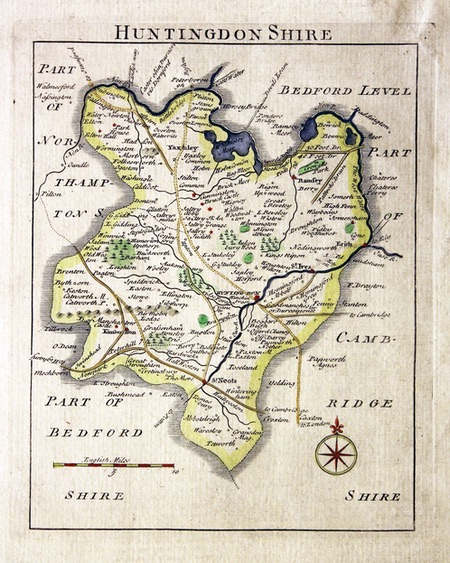
Huntingdonshire, John Rocque, c.1769
14336 Huntingdonshire, John Rocque, c.1769. Price: 26.00
HUNTINGDONSHIRE
A plain but clearly engraved map of the county. Compass rose and scale. 6 x 7 inches. Hand coloured. Good condition.
From: England Displayed

19th Century - Early Hand Colouring
-

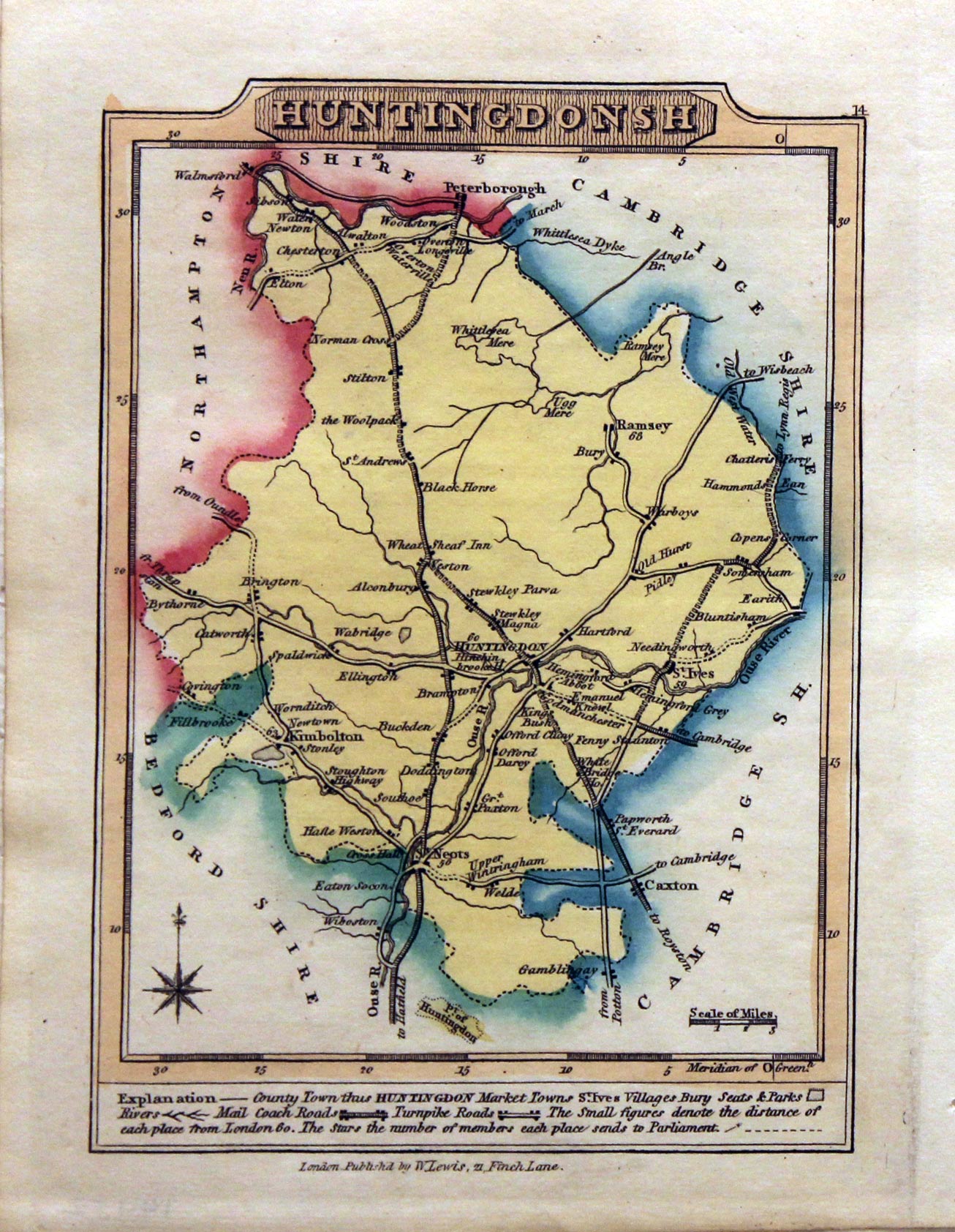
Huntingdonshire, J. Wallis / W. Lewis, 1819
-

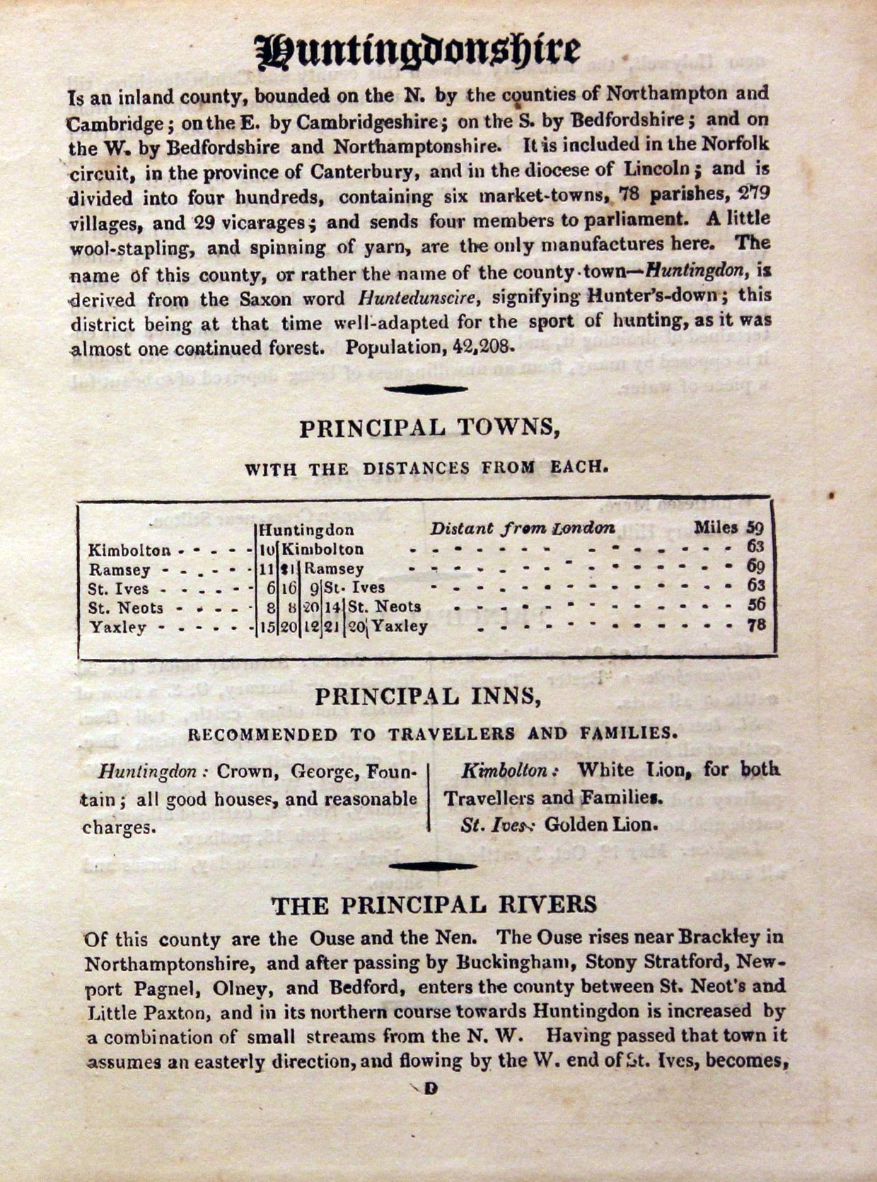
Text decribing Huntingdonshire, J. Wallis / W. Lewis, 1819
14452 Huntingdonshire, J. Wallis / W. Lewis, 1819. Price: 20.00
HUNTINGDONSHIRE
A small engraved county map with short description beneath. 3.37 x 4.75 inches. Original outline and wash colouring. Good condition. With original page of descriptive text giving details of the county, towns, inns, rivers and fairs.
First published by James Wallis this map comes from William Lewis' New Traveller's Guide

19th Century
-

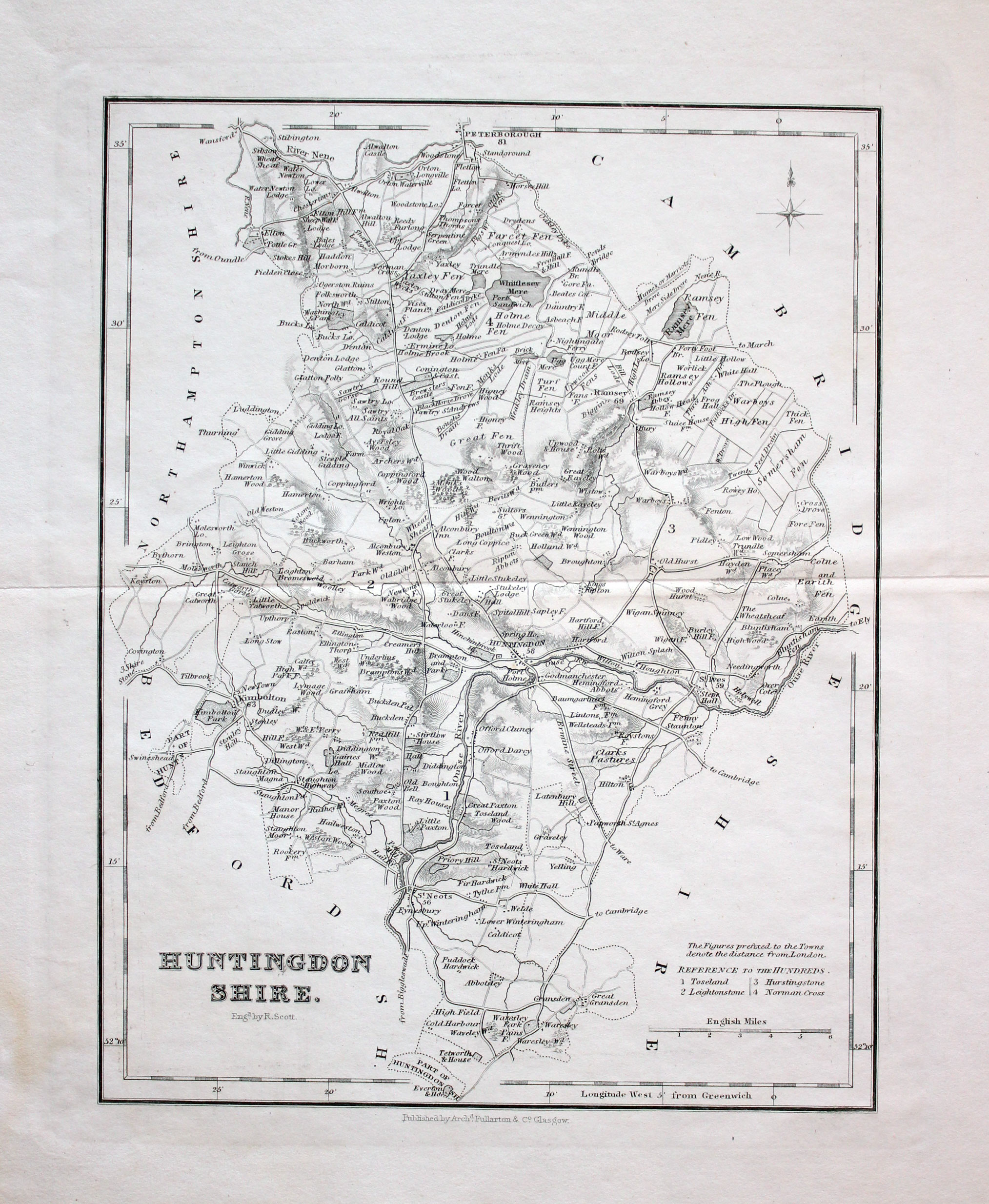
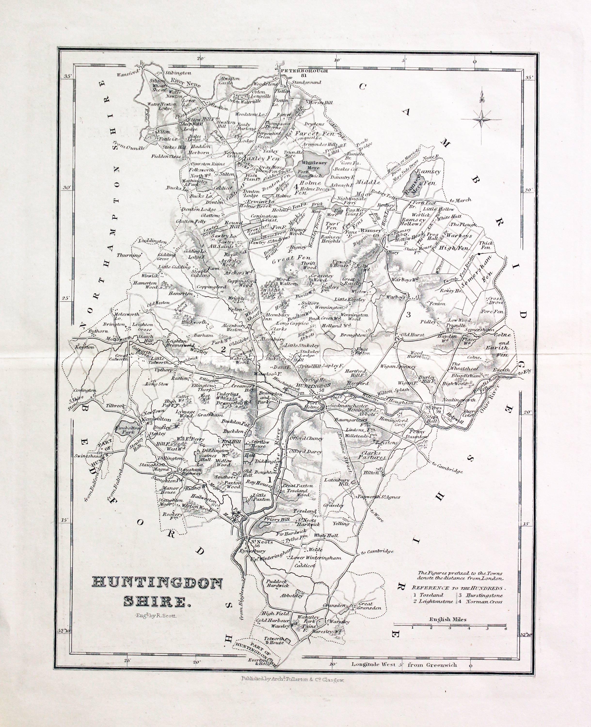
Huntingdonshire, Archibald Fullarton c.1840
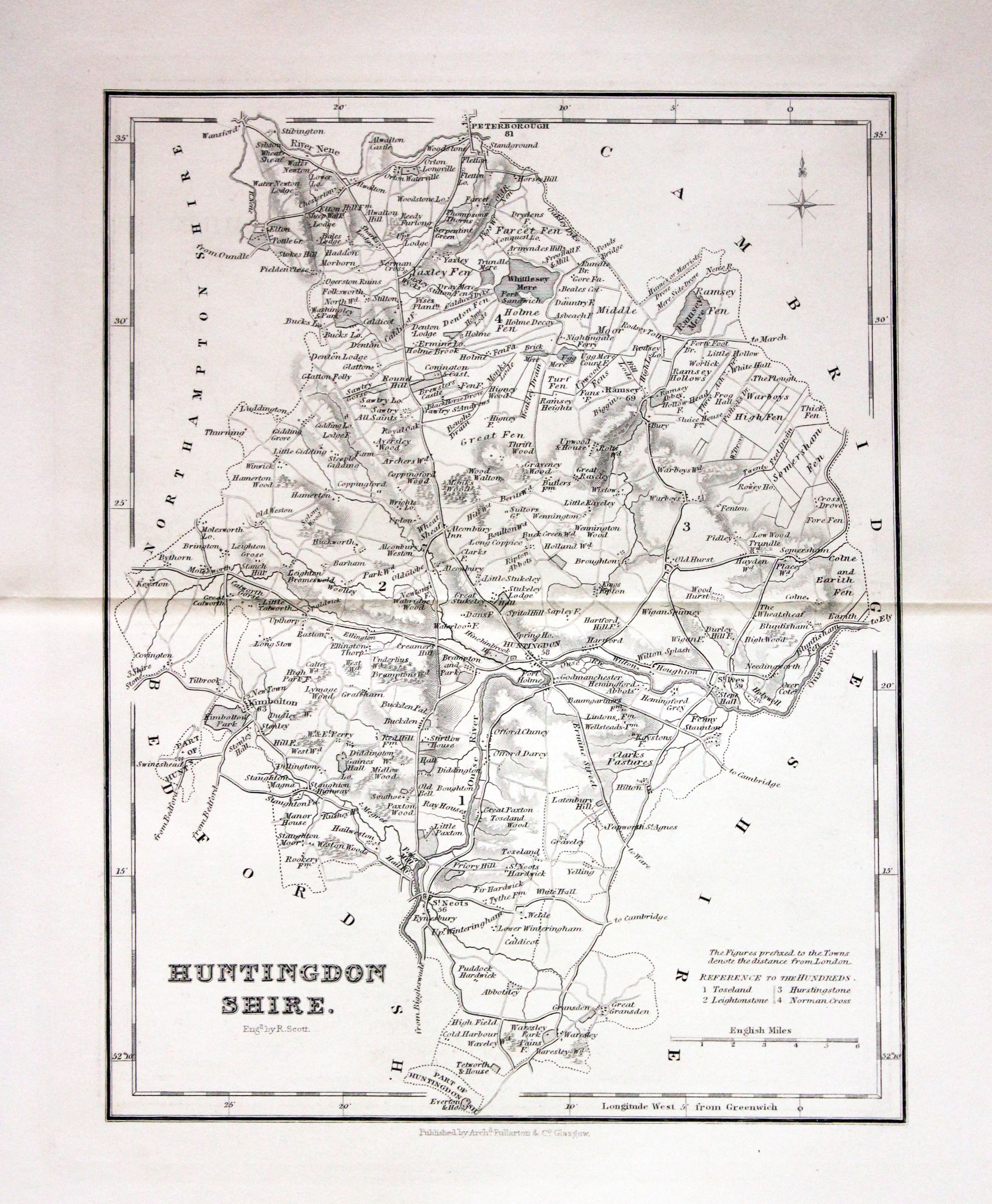
16030 Huntingdonshire, Archibald Fullarton, c.1840. Price: 20.00
HUNTINGDONSHIRE. An engraved map of the county. Engraved by R. Scott. List of hundreds. 7 1/4 x 9 1/2 inches. Uncoloured. Good clean undamaged condition.n

18th Century - Early Hand Colouring
-

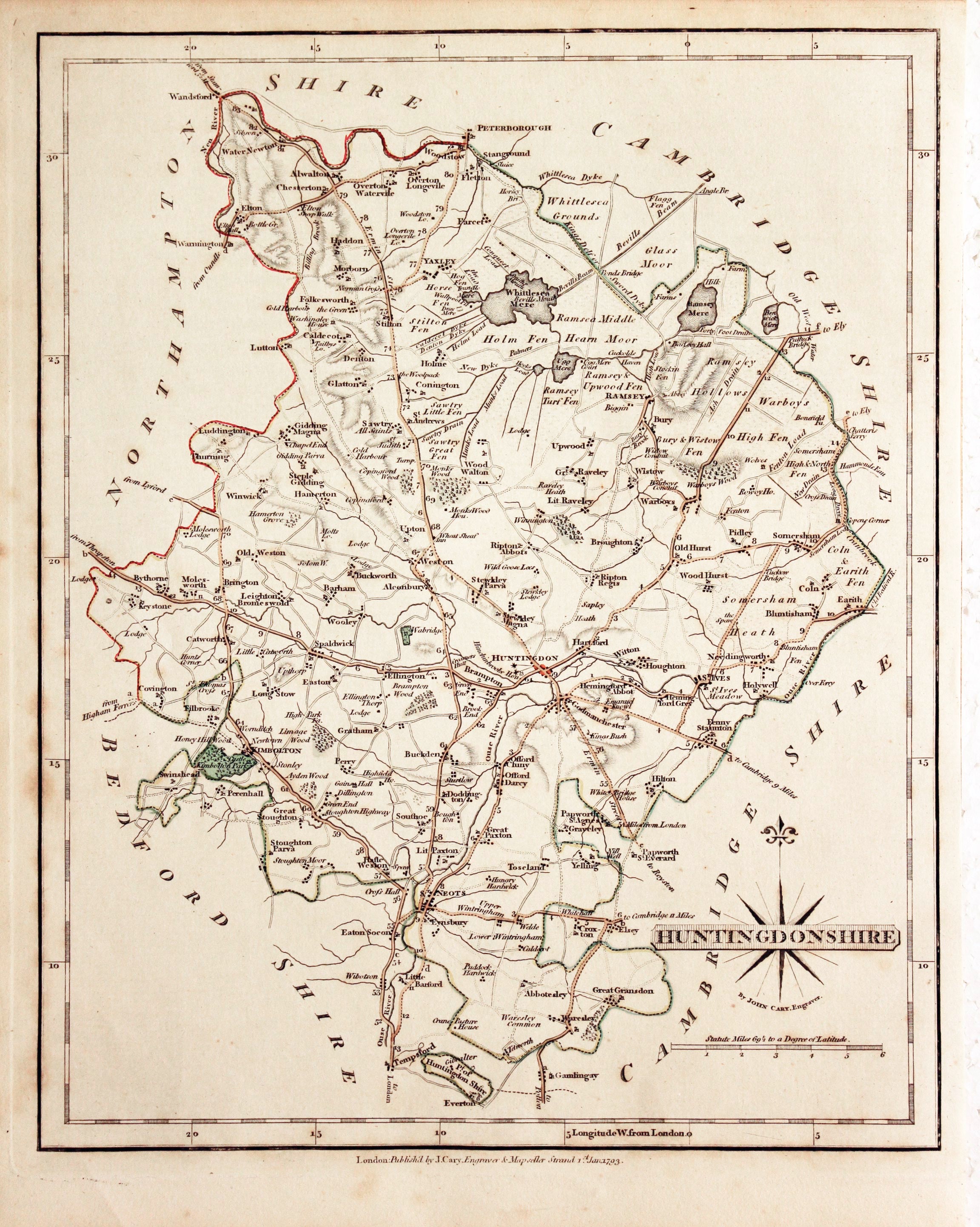
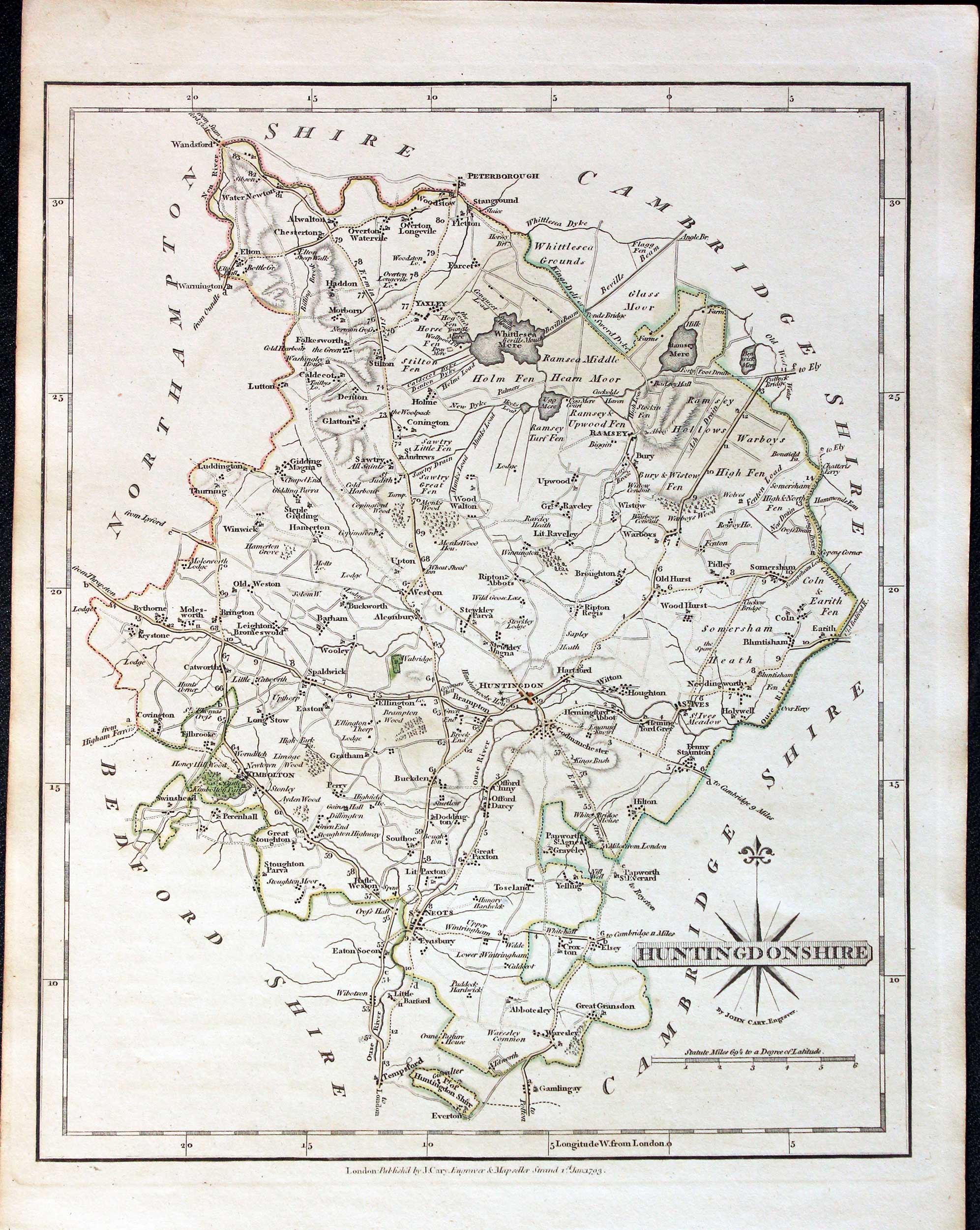
Huntingdonshire, John Cary, 1793
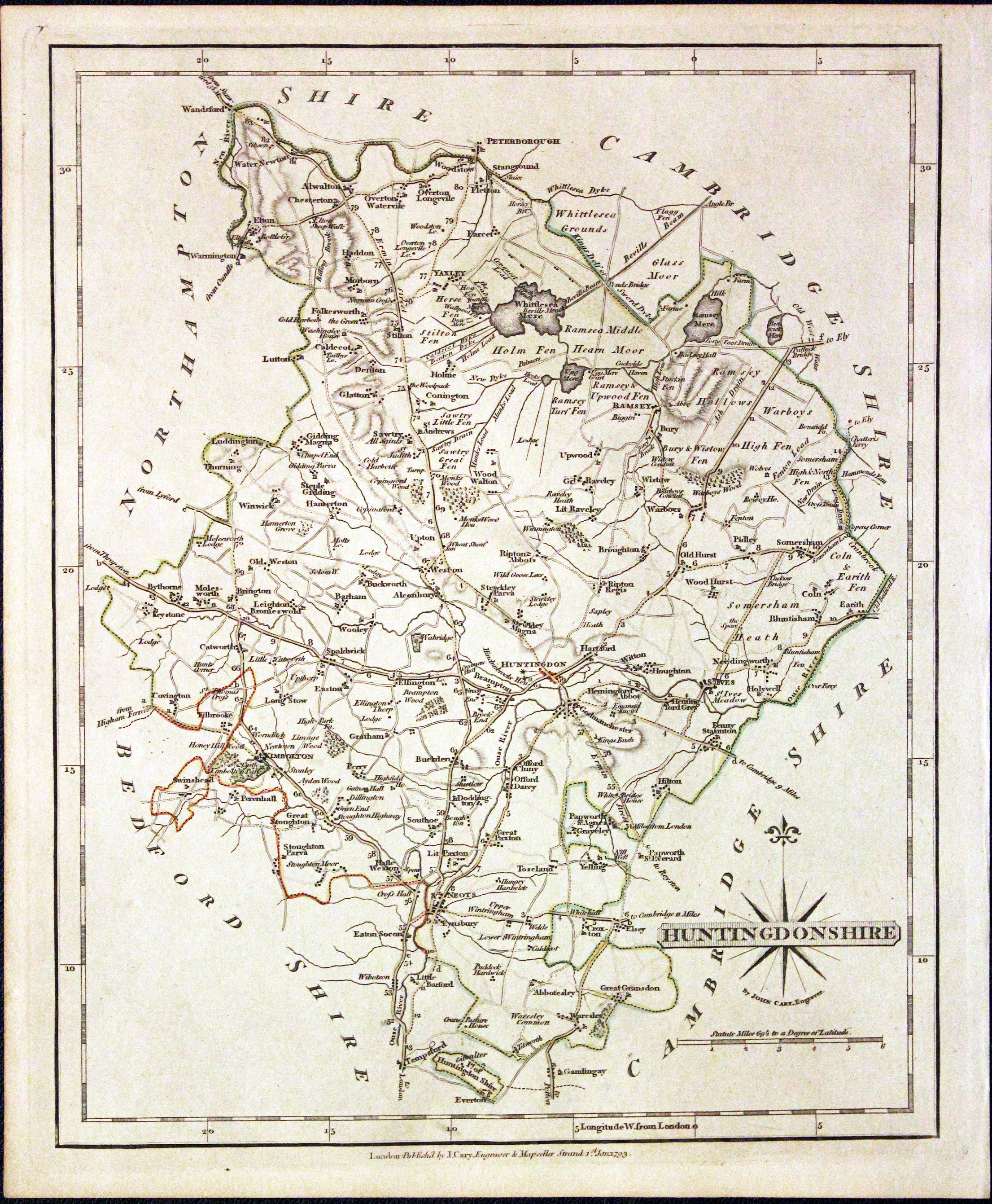
21946 Huntingdonshire, John Cary, 1793. Price: 25.00
HUNTINGDONSHIRE
A good engraved detailed map of the county with the original page of descriptive text. Title panel and compass rose combined. Imprint of John Cary dated 1793. 8 1/4 x 10 1/4 inches, 210 x 260 mm. Original outline hand colouring. Little light foxing in left margin. Good condition.
From: Cary's New and Correct English Atlas

Early 19th Century - Original Hand Colouring
-

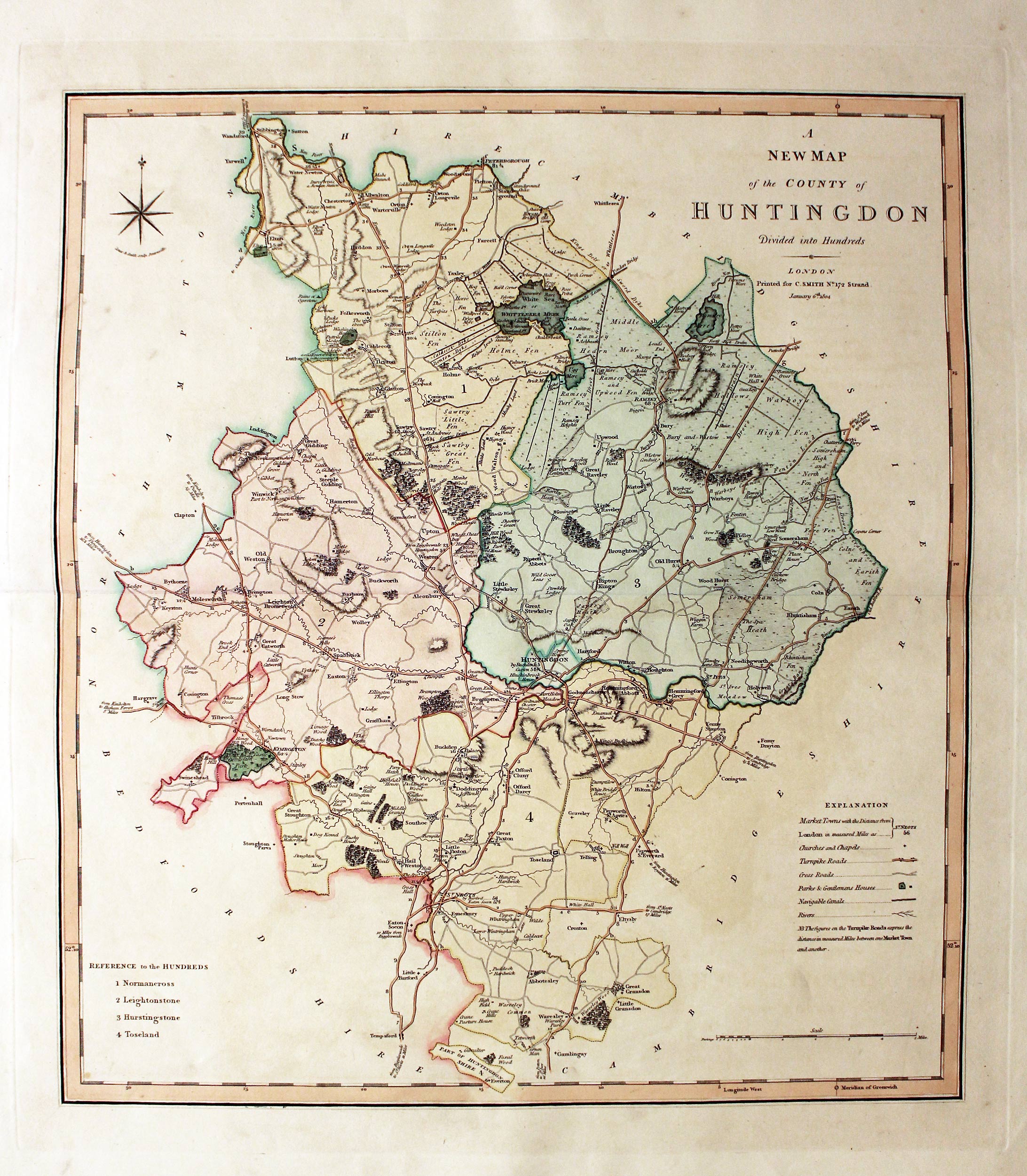
Huntingdonshire, Charles Smith, 1804
26745 Huntingdonshire, Charles Smith, 1804. Price: 60.00
A NEW MAP OF THE COUNTY OF HUNTINGDON DIVIDED INTO HUNDREDS. LONDON printed for C. SMITH, NO. 172 STRAND January 6th 1804.
A fine detailed map of the county with compass rose, explanation and list of hundreds. 17 1/2 x 19 1/2inches. Fine original outline and wash hand colouring. Good condition with wide margins.
From: Smith’s New English Atlas

18th Century
-

Huntingdonshire, Thomas Kitchin, c.1765

27187 Huntingdonshire, Thomas Kitchin, c.1765. Price: 36.00
A NEW MAP OF HUNTINGDONSHIRE DRAWN FROM THE BEST AUTHORITIES BY. THOS. KITCHIN GEOGR. ENGRAVER TO H.R.H. THE DUKE OF YORK
A good engraved 18th century map of the county embellished with a pictorial rococo title cartouche, scale, compass pointer and remarks. 7 1/2 x 9 3/4 inches. Uncoloured. Good clean condition.
From: Kitchen’s English Atlas or A Compleat Set of Maps of all the Counties of England and Wales
19th Century
-

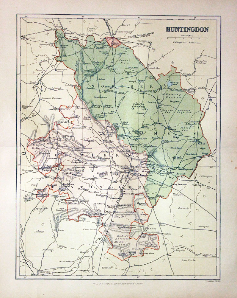
Huntingdonshire, Francis Sydney Weller, c.1898
27346 Huntingdonshire, Francis Sydney Weller, c.1898. Price: 9.00
HUNTINGDON
A colour print lithograph county map. Includes the railways at that time. 8 1/2 x 11 inches. Good condition.
From: The Comprehensive Gazetteer of England Wales

18th Century
-
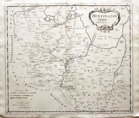
Huntingdonshire, Robert Morden, 1722

26958 Huntingdonshire, Robert Morden, 1722. Price: 46.00
HUNTINGTON SHIRE By Robt. Morden
A good engraved map of the county embellished with a decorative title cartouche. Three scales. Publishers imprint. 16 3/4 x 14 inches, 422 x 357 mm. Uncoloured. Good condition.
From: Camden's Britannia
18th Century - First Edition
-

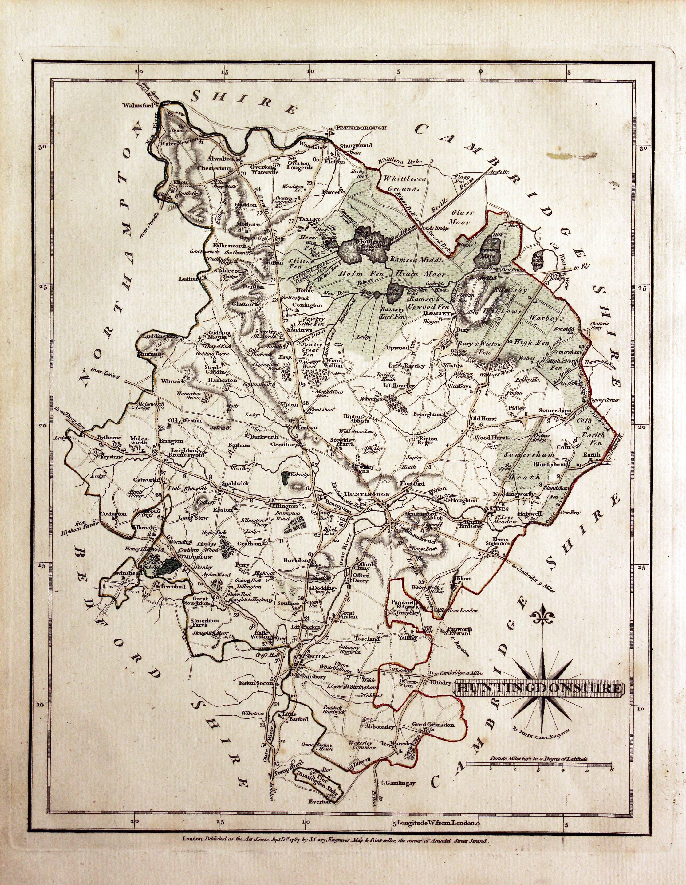
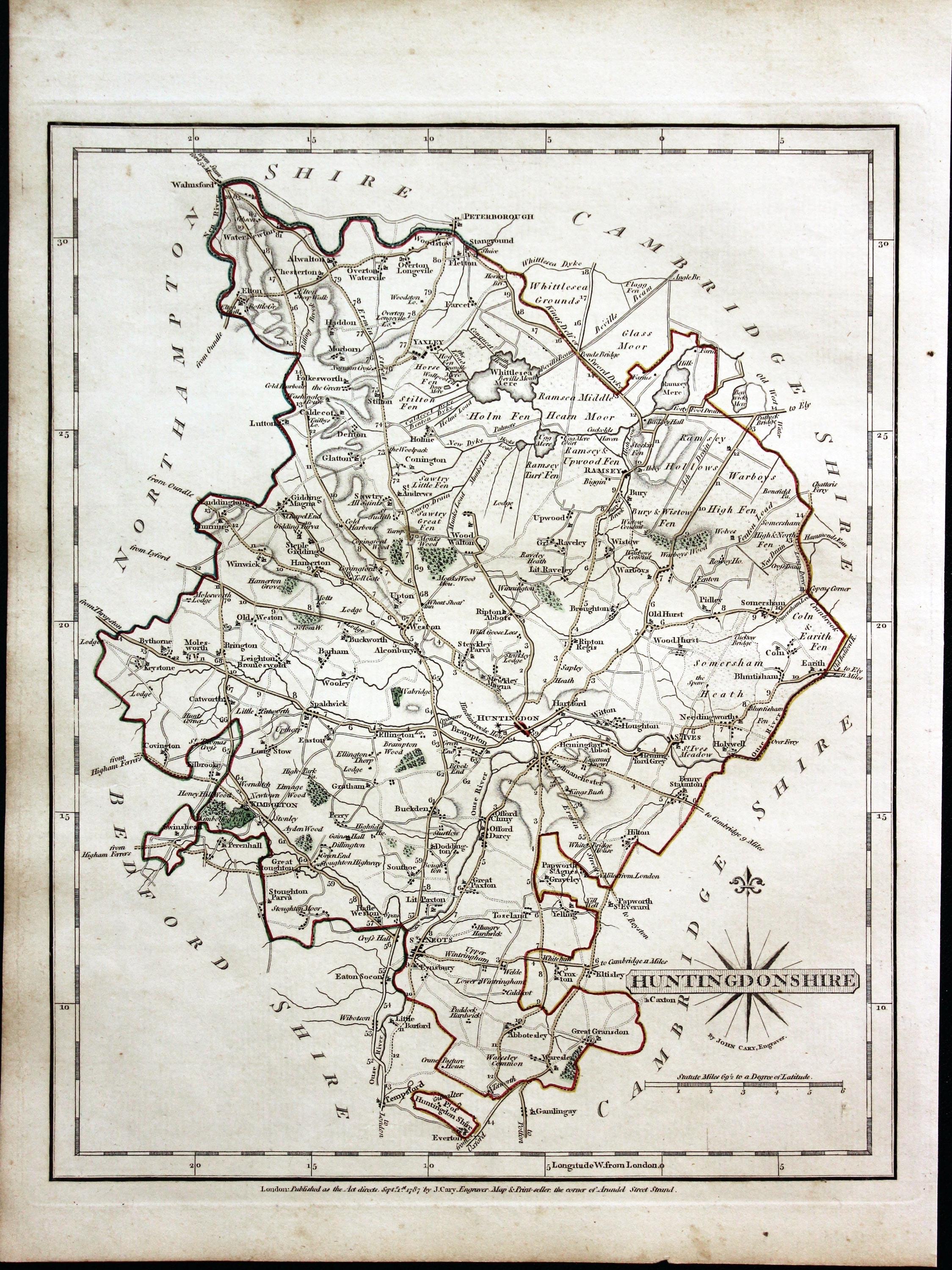
Huntingdonshire, John Cary, 1787
28414 Huntingdonshire, John Cary, 1787. Price: 30.00
HUNTINGDONSHIRE.
The first edition of this well engraved detailed map of the county. Publisher's imprint beneath dated 1787. 8 1/4 x 10 1/4 inches, 215 x 265 mm. Original outline hand colouring. With the original page of descriptive text. Good condition.
From: Cary’s New and Correct English Atlas

19th Century
-

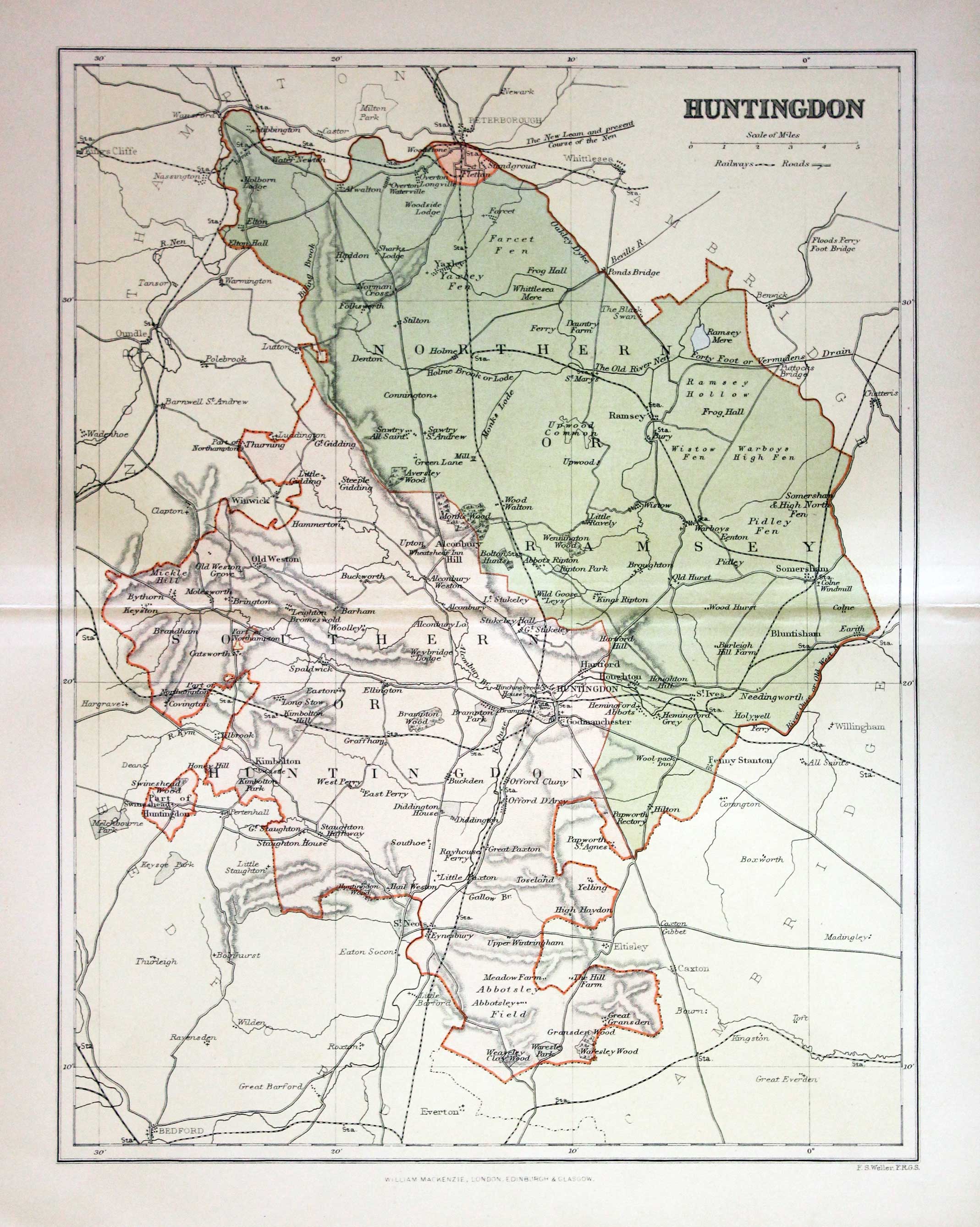
Huntingdonshire, Francis Sydney Weller, c.1898
28705 Huntingdonshire, Francis Sydney Weller, c.1898. Price: 8.00
HUNTINGDON
A colour print lithograph county map. Includes the railways at that time. 8 1/2 x 11 inches. Good condition.
From: The Comprehensive Gazetteer of England Wales

18th Century
-

Huntingdonshire, John Ellis, 1777
29020 Huntingdonshire, John Ellis, 1777. Price: 37.00
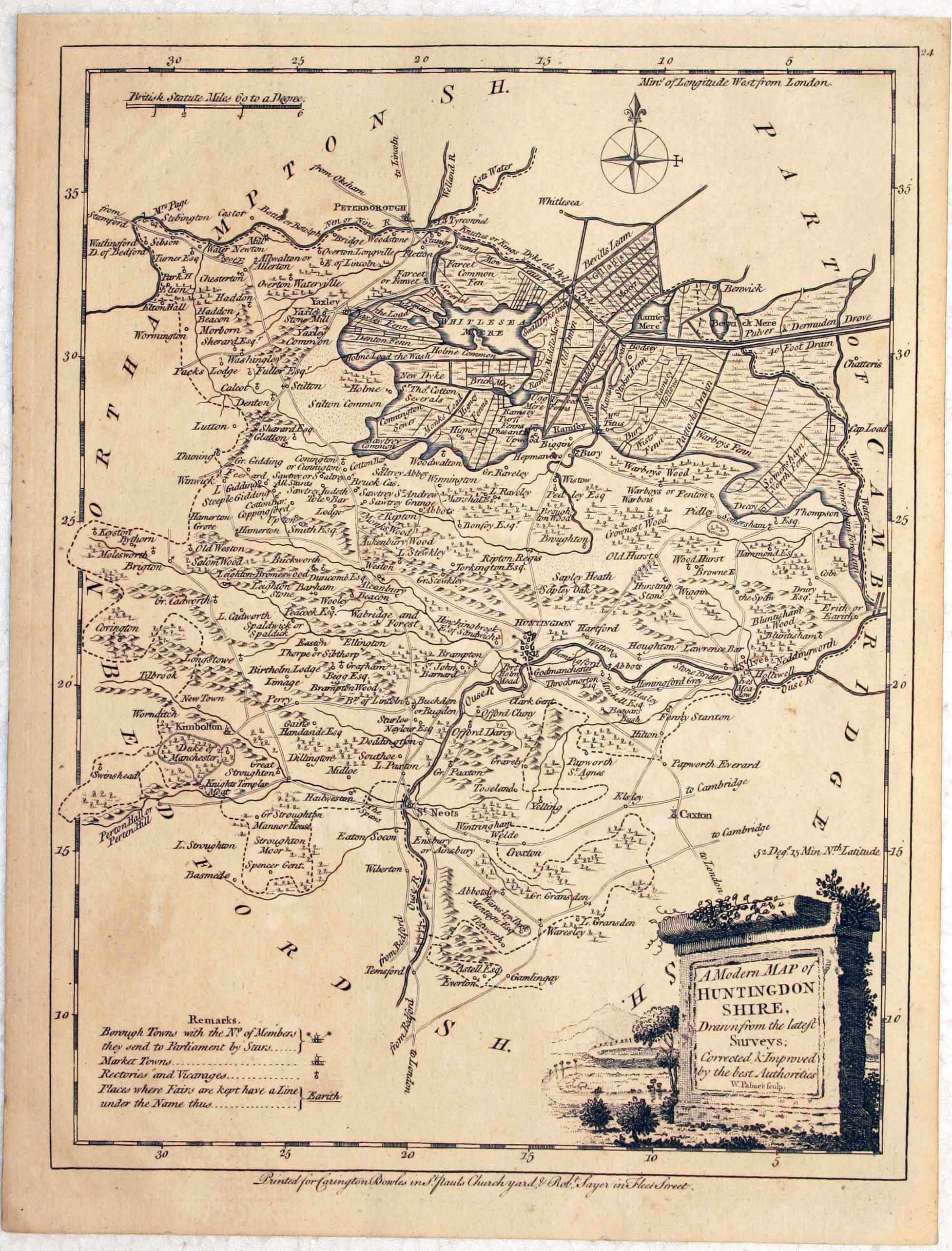
A MODERN MAP OF HUNTINGDONSHIRE, Drawn from the latest Surveys; Corrected & Improved by the best Authorities. W. Palmer sculpt.
An engraved county map embellished with a pictorial title cartouche. Compass rose, scale and remarks. Imprint of Carington Bowles in St. Pauls Church Yard and Robert Sayer in Fleet Street. 7 1/2 X 9 3/4 inches. Thick paper. Uncoloured. Good condition.
From: Ellis's English Atlas or a Compleat Chorography of England and Wales in 50 Maps

18th Century
-

Huntingdonshire, Herman Moll, 1724
29157 Huntingdonshire, Herman Moll, 1724. Price: 49.00
HUNTINGDONSHIRE BY H. MOLL GEOGRAPHER
An engraved map of the county divided into hundreds. Title panel, scale, and list of hundreds. Across the top and bottom of the map are illustrations of old coins. 12 1/2 x 7 1/2 inches. Uncoloured. Small brown stain at the top edge of the right hand blank margin, otherwise good condition.
From: A Set of Fifty New and Correct Maps of England and Wales

Early 19th Century - Original Hand Colouring
-

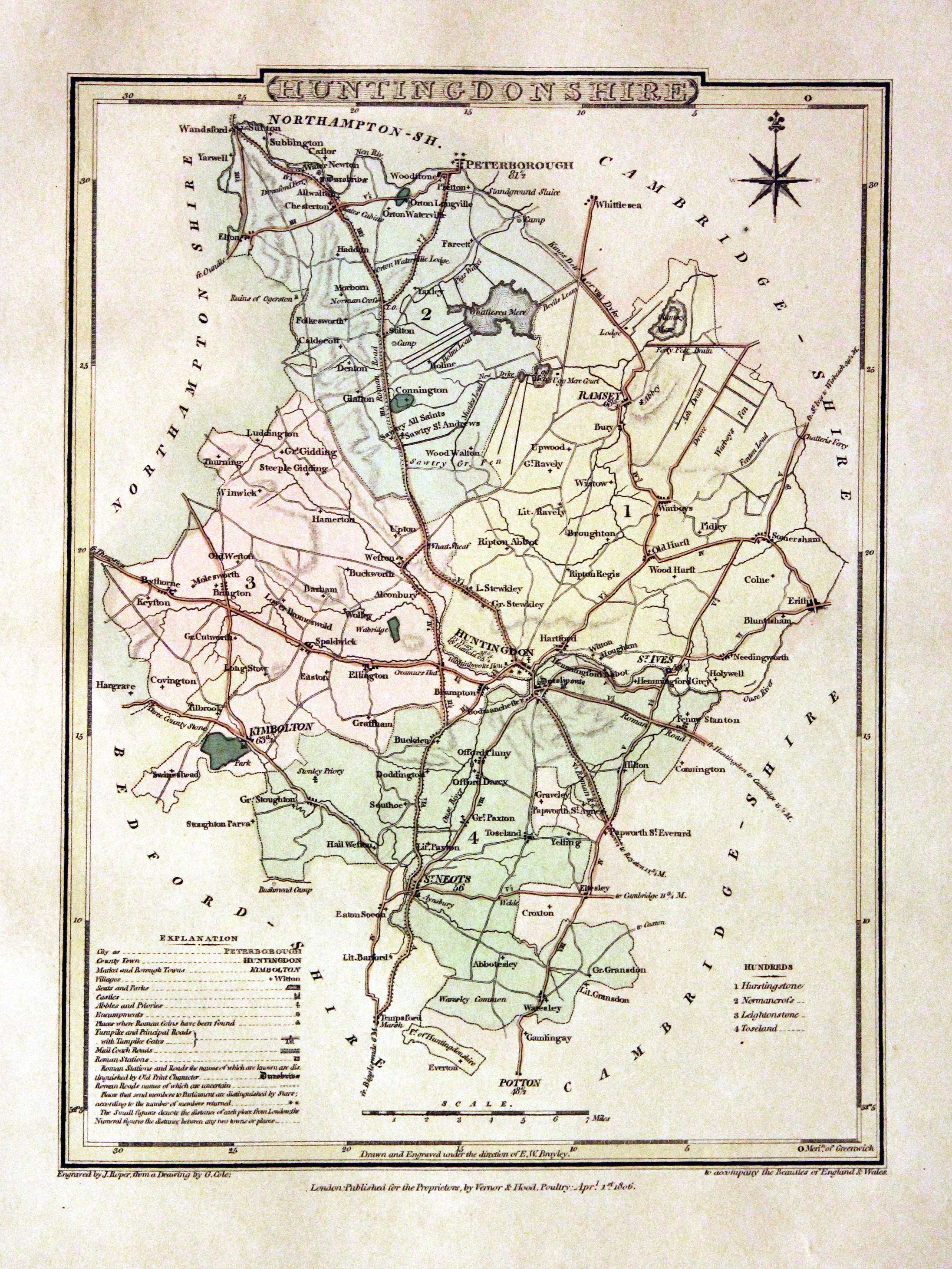
Huntingdonshire, George Cole and John Roper, 1810
30035 Huntingdonshire, George Cole and John Roper, 1810. Price: 32.00
HUNTINGDONSHIRE
A detailed engraved map of the county with explanation and list of hundreds. Compass rose and scale. 7 x 9 inches. Original wash hand colouring. Good condition. Straight from the atlas and not sold as a single map before.
From: The British Atlas

19th Century - Original Hand Colouring
-

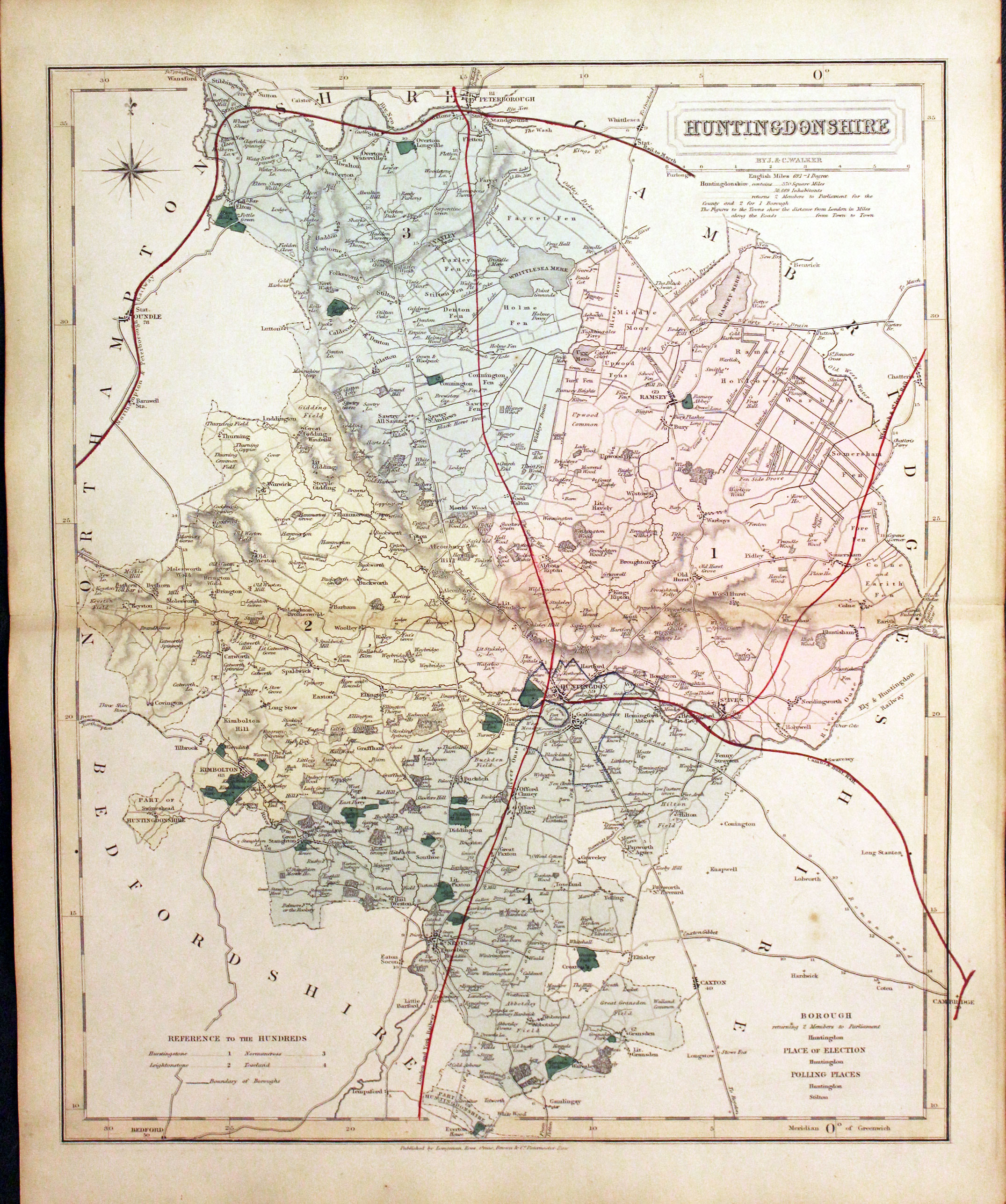
Huntingdonshire, John and Charles Walker, 1851
30225 Huntingdonshire, John and Charles Walker, 1851. Price: 33.00
HUNTINGDONSHIRE
A good detailed engraved map of the county. Original outline and wash hand colouring. Imprint of Longman, Rees, Orme, Browne & Co. beneath. Good clean condition on stout paper. A nice specimen. This map has been taken from the atlas and not been offered before as a single map.
From: The British Atlas

19th Century - Early Hand Colouring
-

Huntingdonshire, F. P. Becker, c.1842
30280 Huntingdonshire, F. P. Becker, c.1842. Price: 25.00
HUNTINGDONSHIRE
A clearly engraved map of the county. Drawn by F. P. Becker & Co. 12 Paternoster Row. 10 3/4 x 13 3/4 inches. Original outline and wash hand colouring. Good condition. With the map is the original double sided page of text describing the county. Good condition. This map has just been taken from the atlas and therefore not sold as a single map before.
From: Fishers County Atlas of England and Wales Compiled from Authentic Surveys and Corrected to the Present Time with Geographical and Statistical Description of each County.

Early 19th Century - Early Hand Colouring
-

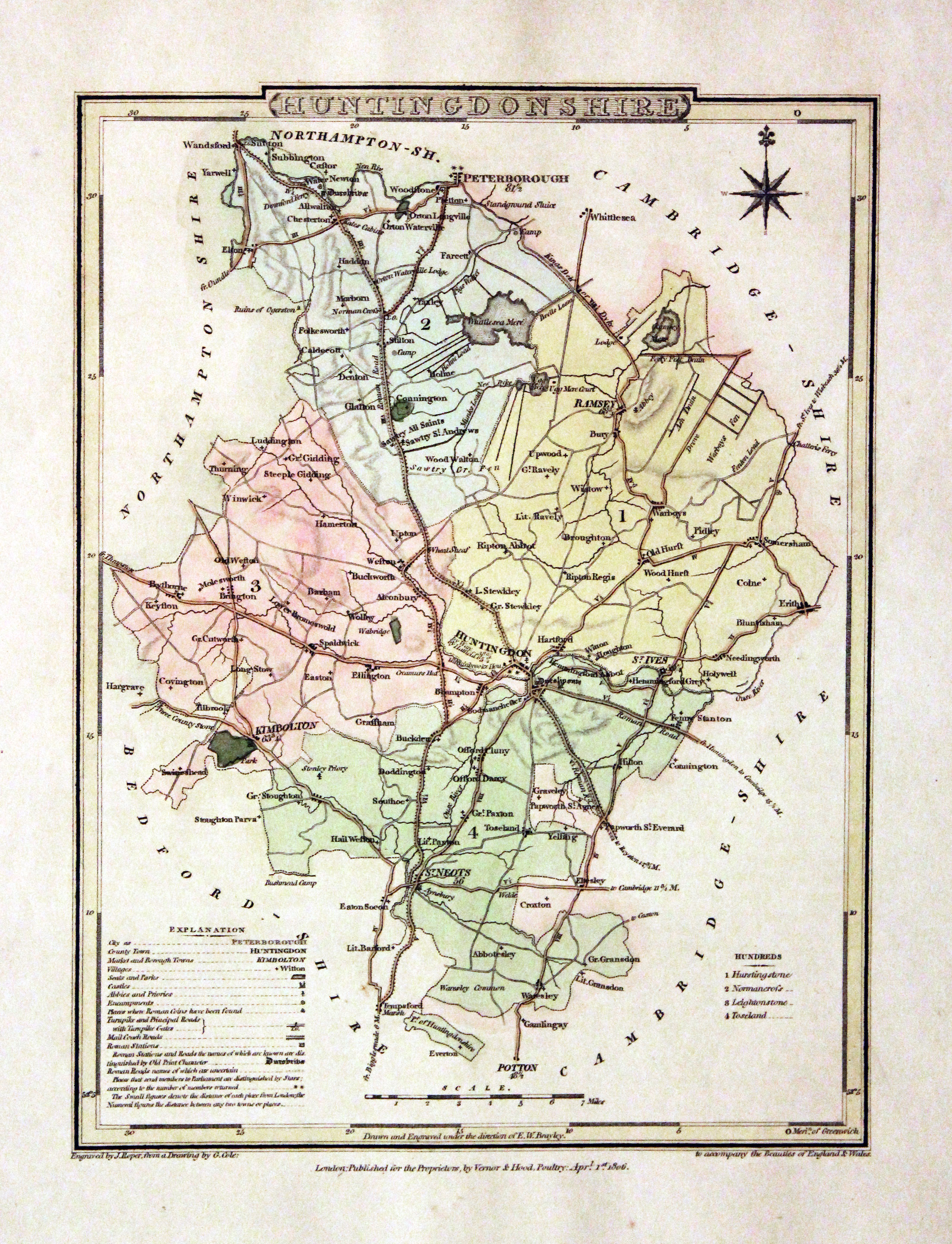
Huntingdonshire, John Cole and John Roper, 1810
30516 Huntingdonshire, John Cole and John Roper, 1810. Price: 33.00
HUNTINGDONSHIRE. A good detailed engraved map of the county divided into hundreds. Bears the publishers imprint dated of 1805. Explanation. 7 x 9 1/4 inches. Original wash and outline hand colouring. Good condition. Straight from the atlas and not sold as a single map before. With original page of descriptive text.
From: The British Atlas

18th Century - Early Hand Colouring
-

Huntingdonshire, John Cary, 1793
30578 Huntingdonshire, John Cary, 1793. Price: 25.00
HUNTINGDONSHIRE
An engraved of the county. Title panel with compass rose. 8 1/4 x 10 1/4 inches. Imprint of the publisher John Cary dated 1793 beneath the map. With this map is the original page of descriptive text relating to the county. Original outline hand colouring. Few small black marks in the lower blank margins otherwise good clean undamaged condition. Straight from the atlas and not sold as a single map before.
From: Cary's New and Correct English Atlas

19th Century
-

Huntingdonshire, Archibald Fullarton c.1843
30680 Huntingdonshire, Archibald Fullarton c.1843. Price: 19.00
HUNTINGDONSHIRE.
A good detailed engraved mid 19th century map of the county. Scale, compass pointer and list of hundreds. Uncoloured. 7 1/2 x 9 1/2 inches. Good clean condition.
From: The Parliamentary Gazetteer

19th Century - Early Hand Colouring
-

Huntingdonshire, James Pigot / Isaac Slater, c.1857
30782 Huntingdonshire, James Pigot / Isaac Slater, c.1857. Price: 45.00
HUNTINGDONSHIRE
An engraved map of the county with title, scale, explanation and list of hundreds. Embellished with an uncoloured view of Godmanchester Church. 8 3/4 x 14 inches. Original outline hand colouring. On stout paper. Good undamaged condition.
From: Isaac Slater’s New British Atlas

For the Collector
-

Huntingdonshire, Edward Langley and William Belch, 1820
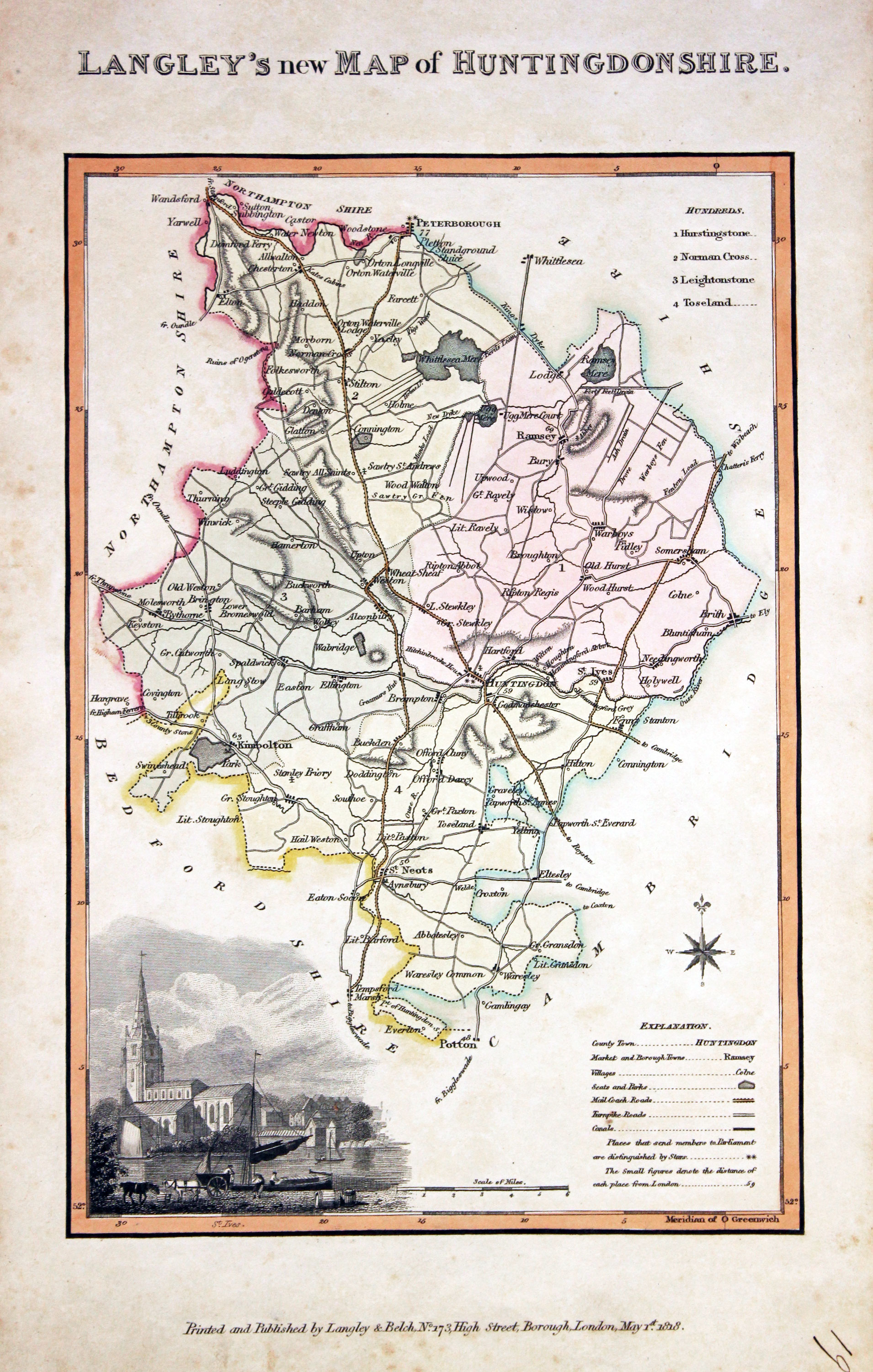
30926 Huntingdonshire, Edward Langley and William Belch, 1820. Price: 46.00
LANGLEY’S NEW MAP OF HUNTINGDONSHIRE
An engraved map of the county. In the bottom left hand corner is a vignette view of St. Ives. The title appears above the map. Beneath the map is the publishers imprint Printed and Published by Langley & Belch, No. 173 High Street, Borough, London, May. 1st, 1818. 6 3/4 x 10 inches. Manuscript number 19 in the bottom right hand corner. Original outline and wash hand colouring. Some light soiling with a little speckled foxing mainly in blank margins. No tears or repairs.
From: Langley’s New County Atlas of England and Wales

18th Century - Early Hand Colouring
-

Huntingdonshire, John Cary 1793

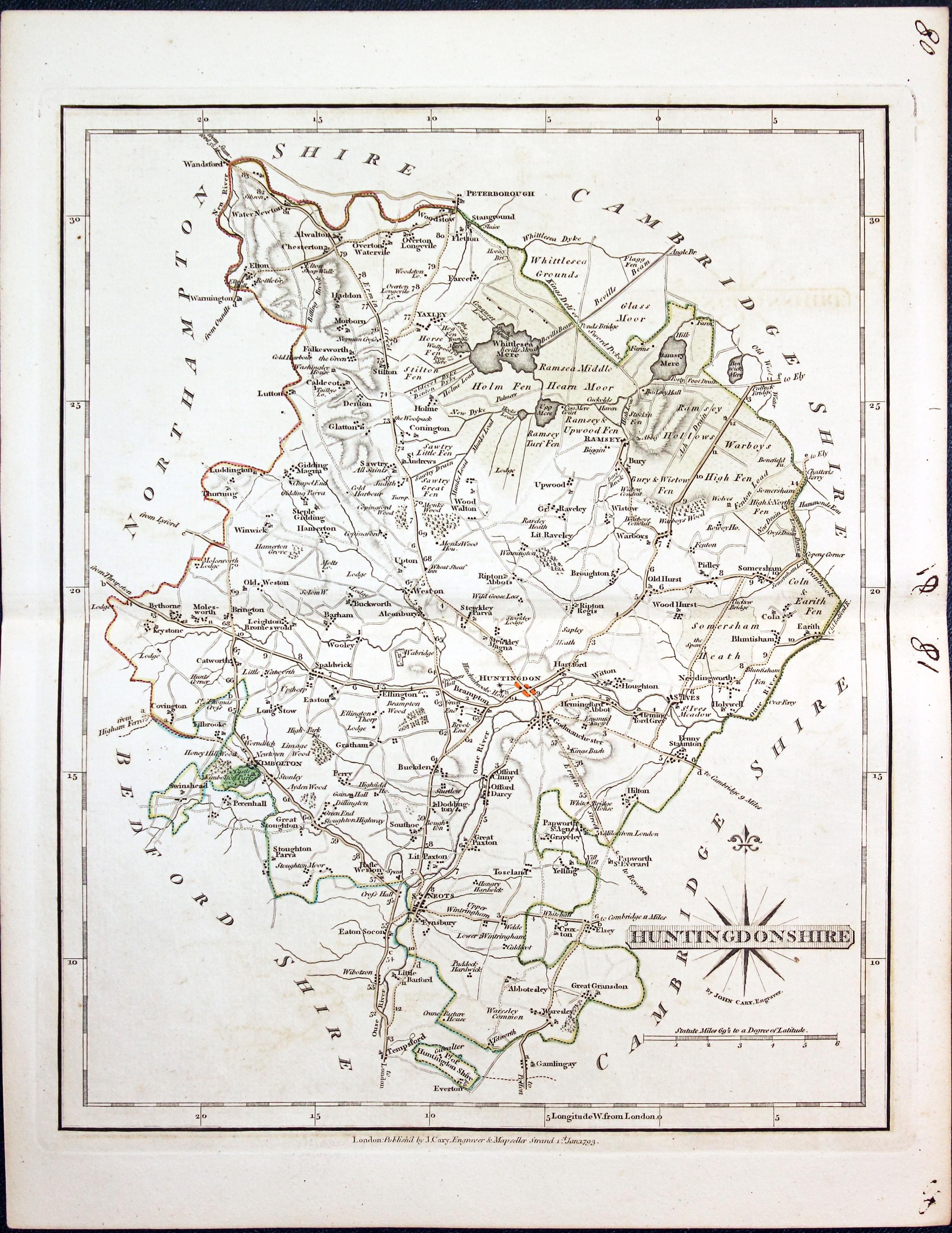
30989 Huntingdonshire, John Cary 1793. Price: 27.00
HUNTINGDONSHIRE
A well engraved detailed map of the county with title panel and compass rose combined. Scale. Imprint of John Cary dated 1793. Centre fold. Old manuscript numbering in blank margin 80 and 81. 8 1/4 x 10 1/4 inches. Original outline hand colouring. Good condition.
From: Cary's New and Correct English Atlas
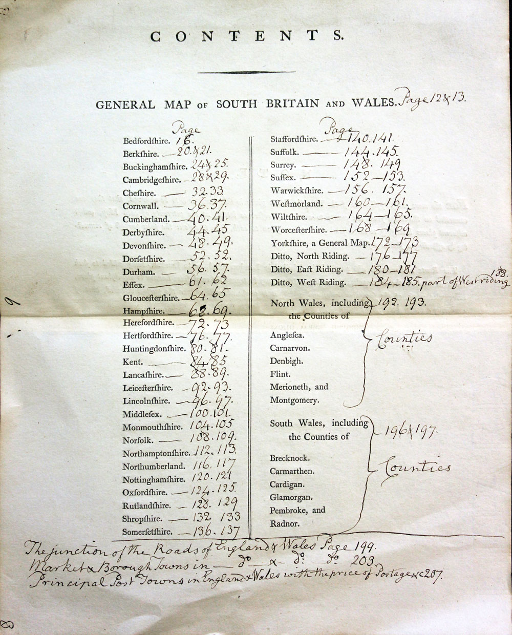
TITLEPAGE AND ANNOTATED CONTENTS PAGE
-

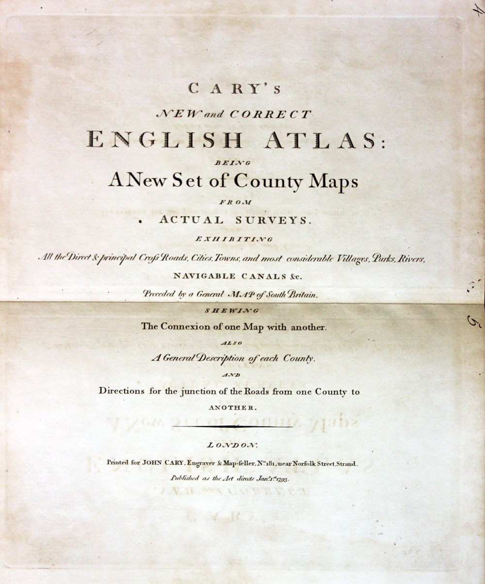
New and Correct English Atlas
-
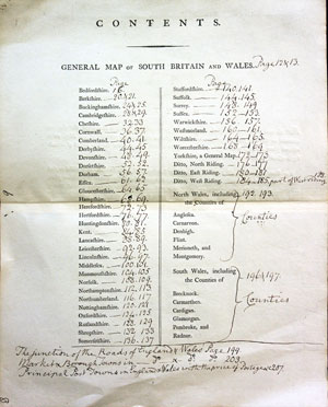
Hobsons Fox Hunting Atlas List of Hunts
19th Century - Fox Hunting
-

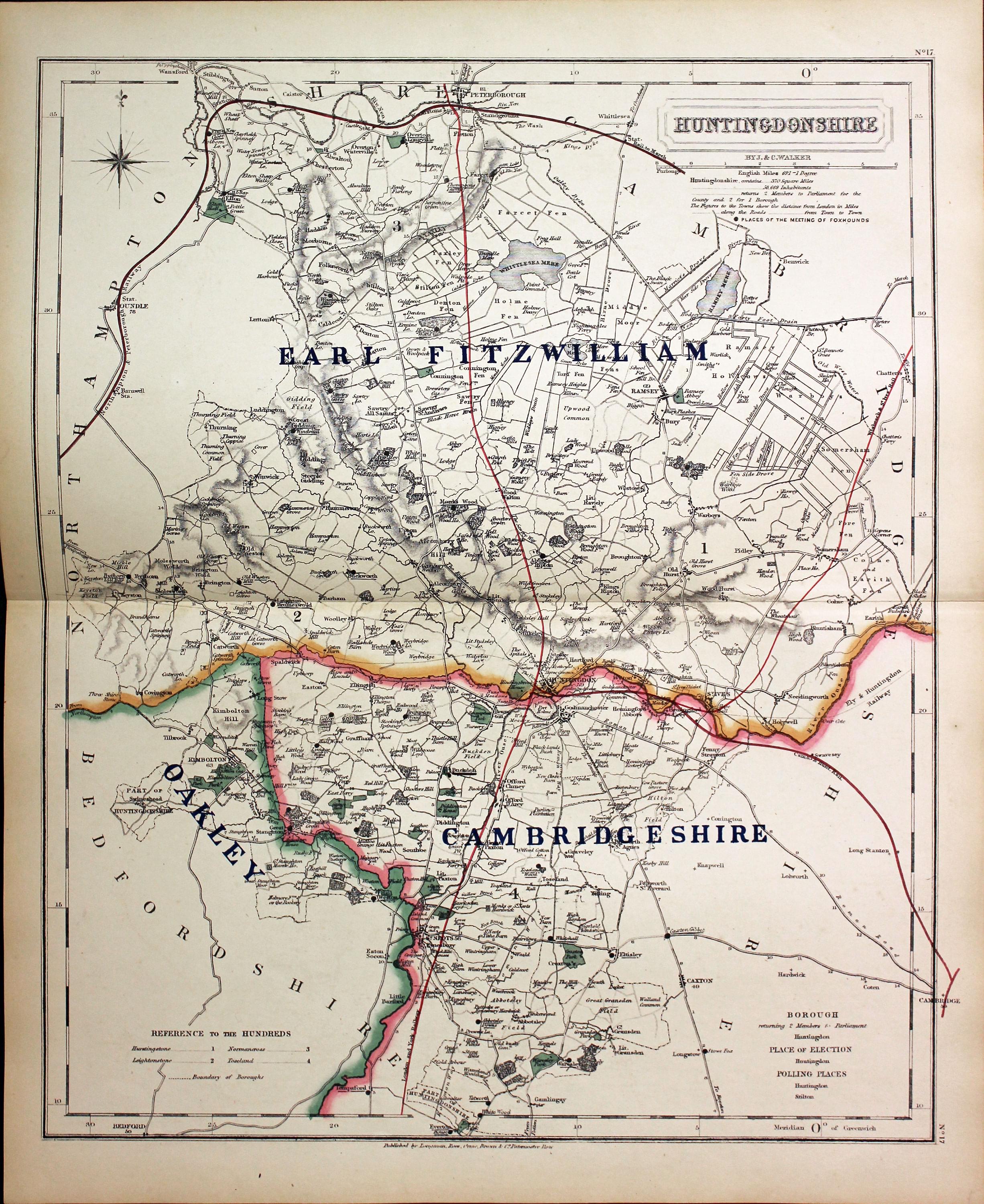
Huntingdonshire - Fox Hunting, John and Charles Walker, 1851


31046 Huntingdonshire - Fox Hunting, John and Charles Walker, 1851. Price: 35.00
HUNTINGDONSHIRE
A good detailed lithograph map of the county from Hobson's Fox Hunting Atlas showing the places of the Meeting of the Hounds. 12 1/2 x 15 1/2 inches. Published by Longman, Rees, Orme, Brown and Co. Paternoster Row, London. Original outline hand colouring. Fine condition. Straight from the atlas so has not been sold as a single map before.
Shows Earl Fitzwilliam, Cambridgeshire and Okley Hunts
Provenance: George Hayhurst - Royal Fusiliers and Henry H. France
TITLE PAGE AND LIST OF HUNTS
-

Hobson Fox Hunting Atlas Titlepage
-

Hobsons Fox Hunting Atlas List of Hunts
18th Century - First Edition
-

Huntingdonshire, John Cary 1787

31287 Huntingdonshire, John Cary 1787. Price: 30.00
HUNTINGDONSHIRE.
The FIRST EDITION of this well engraved detailed map of the county with title panel and compass rose combined. Scale. Imprint of John Cary dated 1787. 8 1/4 x 10 1/4 inches. Original outline hand colouring. Good clean condition. With this map is the original page of descriptive text.
From: Cary's New and Correct English Atlas
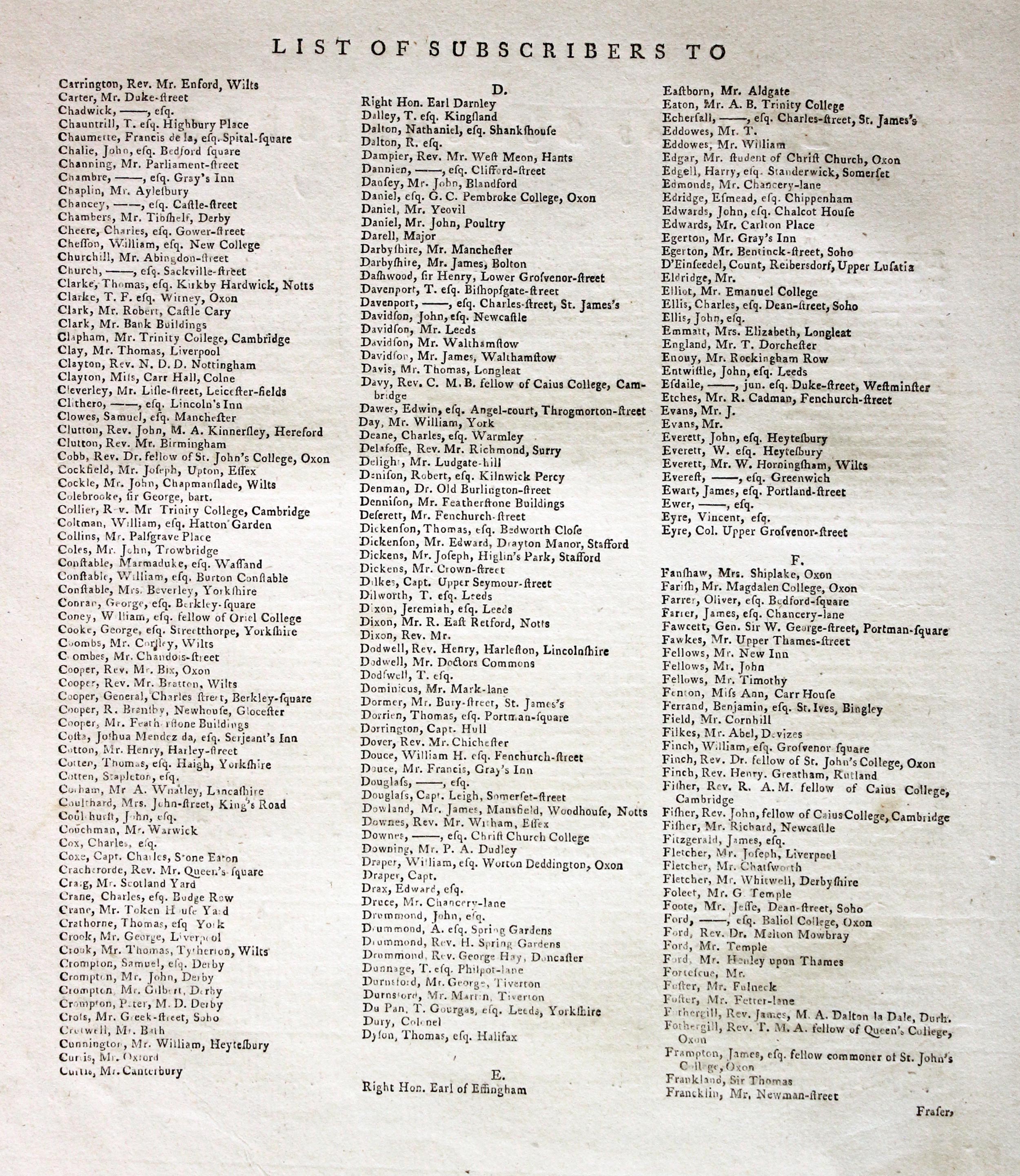
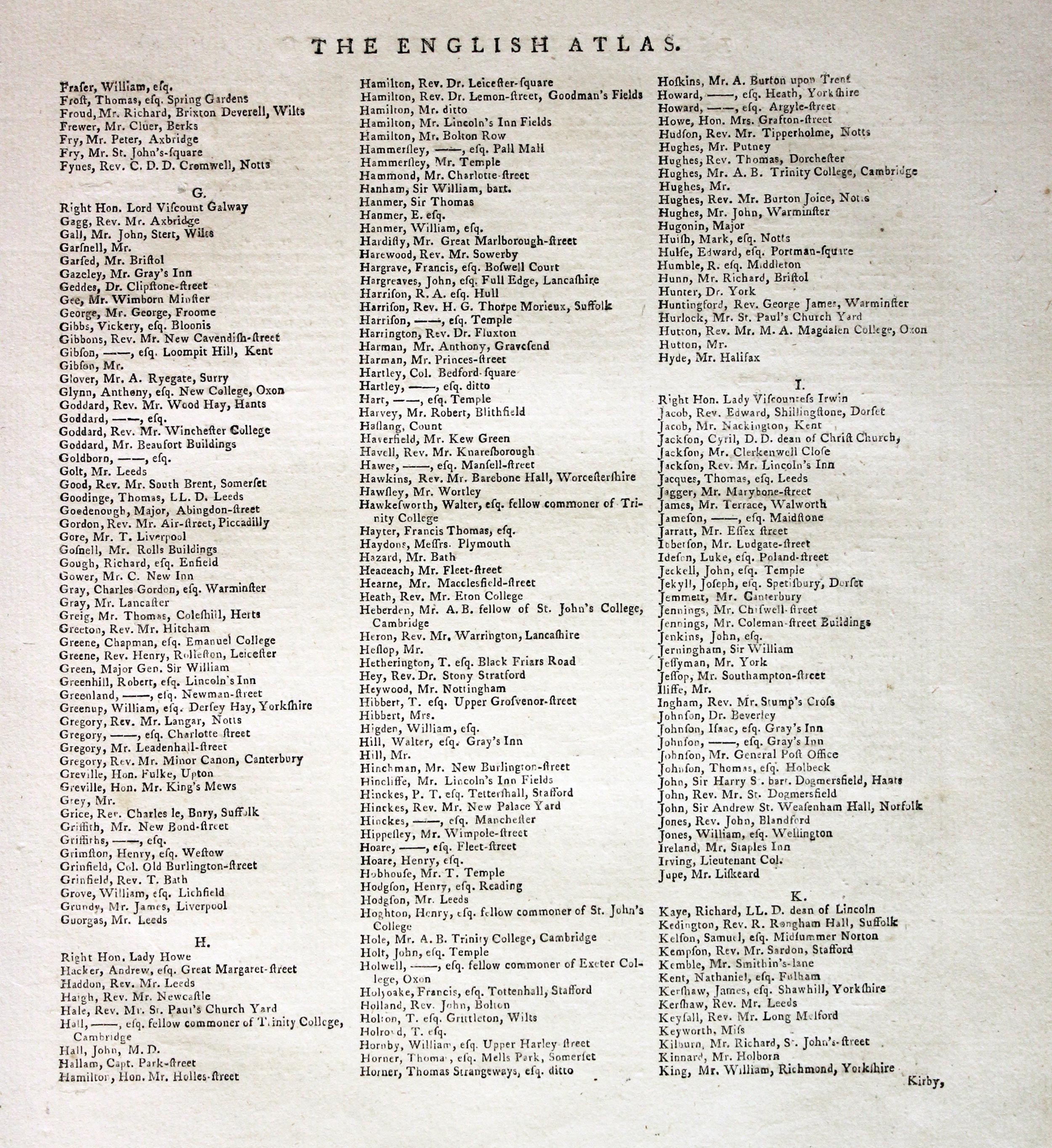
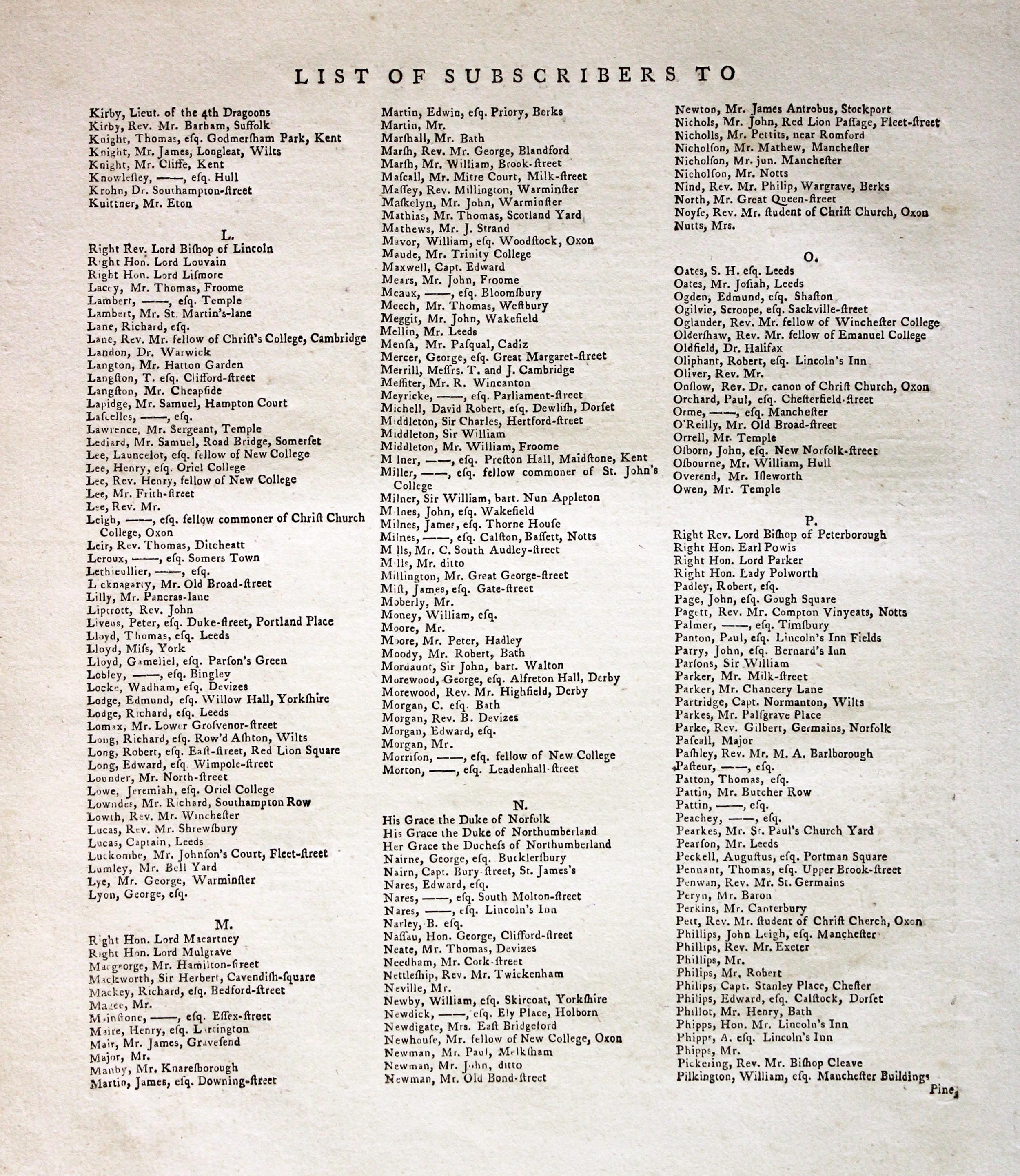
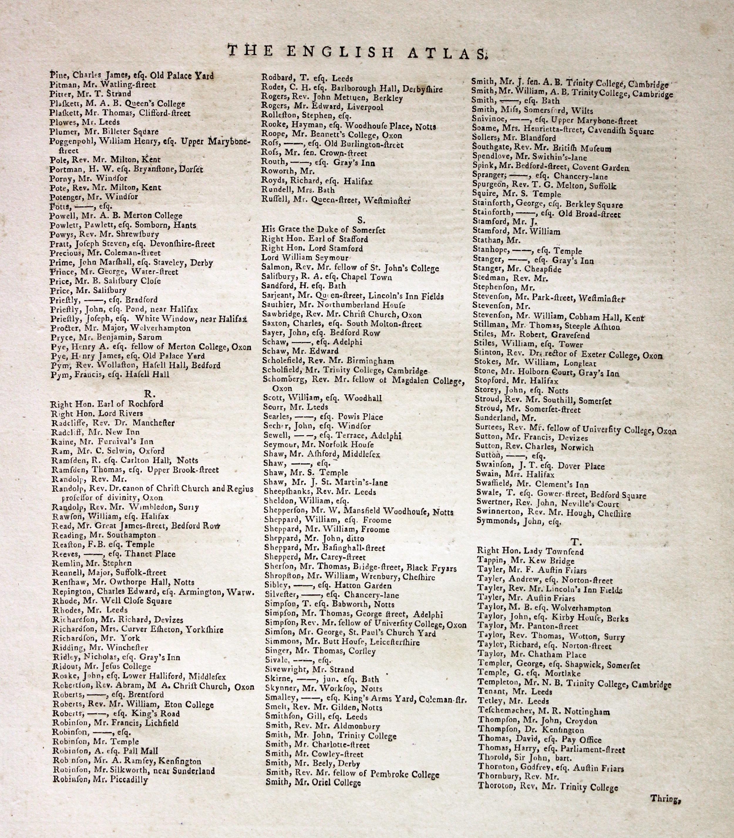
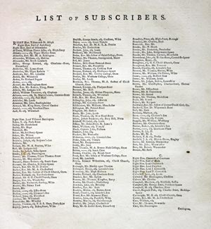
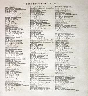
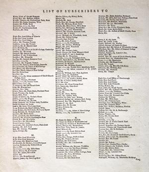
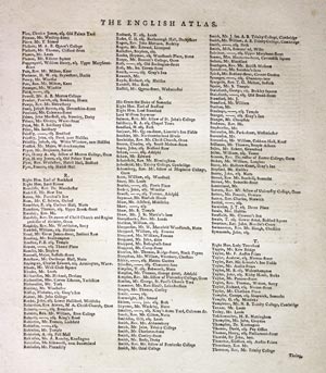
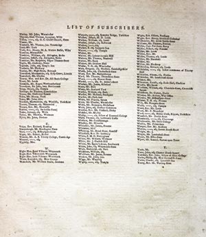
Subcribers to the First Edition
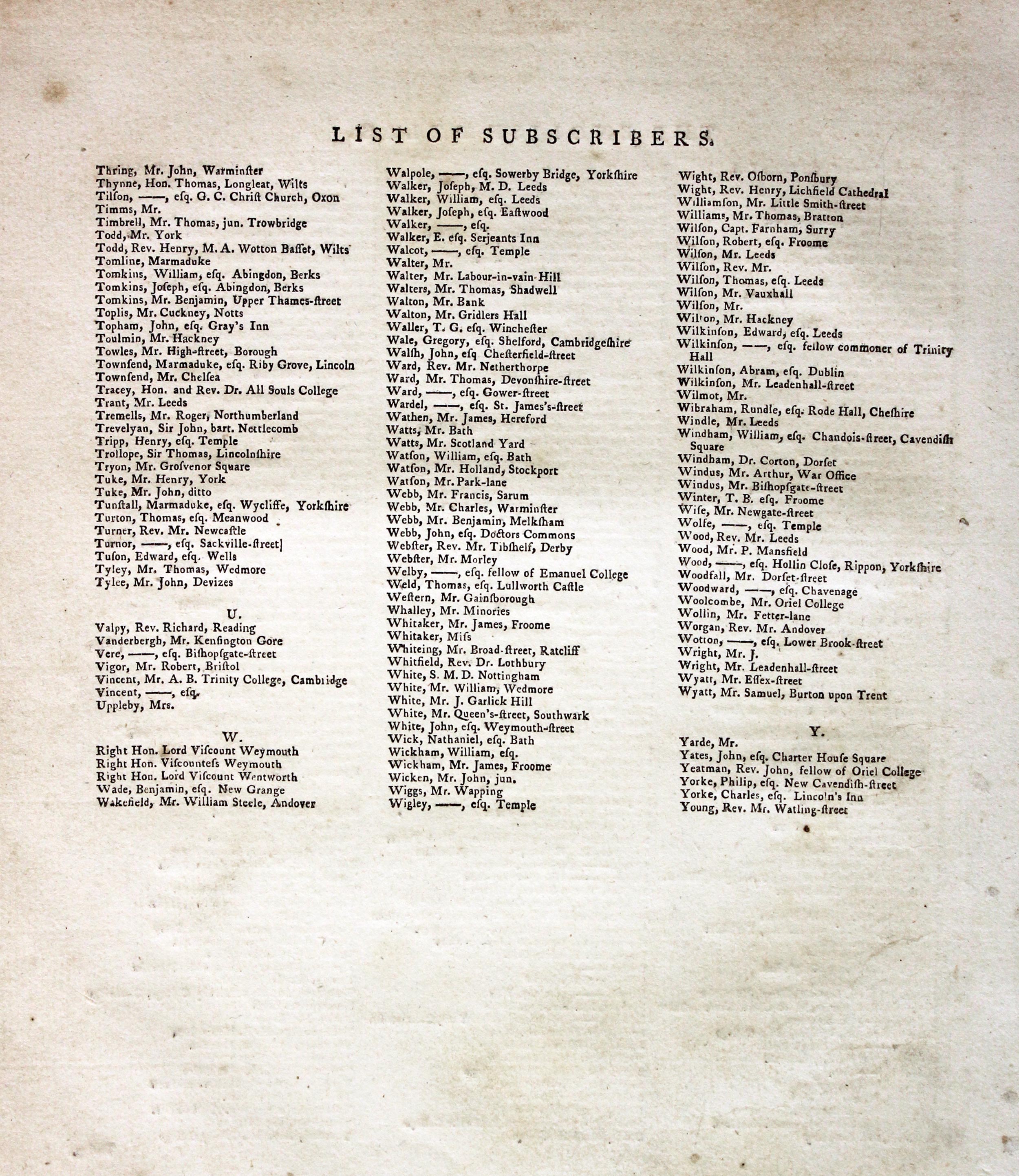
If you are thinking of buying this map you may be interested to see this list of the original subscribers to Cary's New and Correct English Atlas first published in 1787. It makes interesting reading and might even include one of your relatives.
-
New and Correct English Atlas Subscribers
-

New and Correct English Atlas Subscribers
-
New and Correct English Atlas Subscribers
-
New and Correct English Atlas Subscribers
-
New and Correct English Atlas Subscribers
-
New and Correct English Atlas Subscribers
For the Collector
-

Huntingdonshire, Reuben Ramble 1845
-

Huntingdonshire Text, Reuben Ramble 1844
31370 Huntingdonshire, Reuben Ramble, c.1845. Price: 70.00
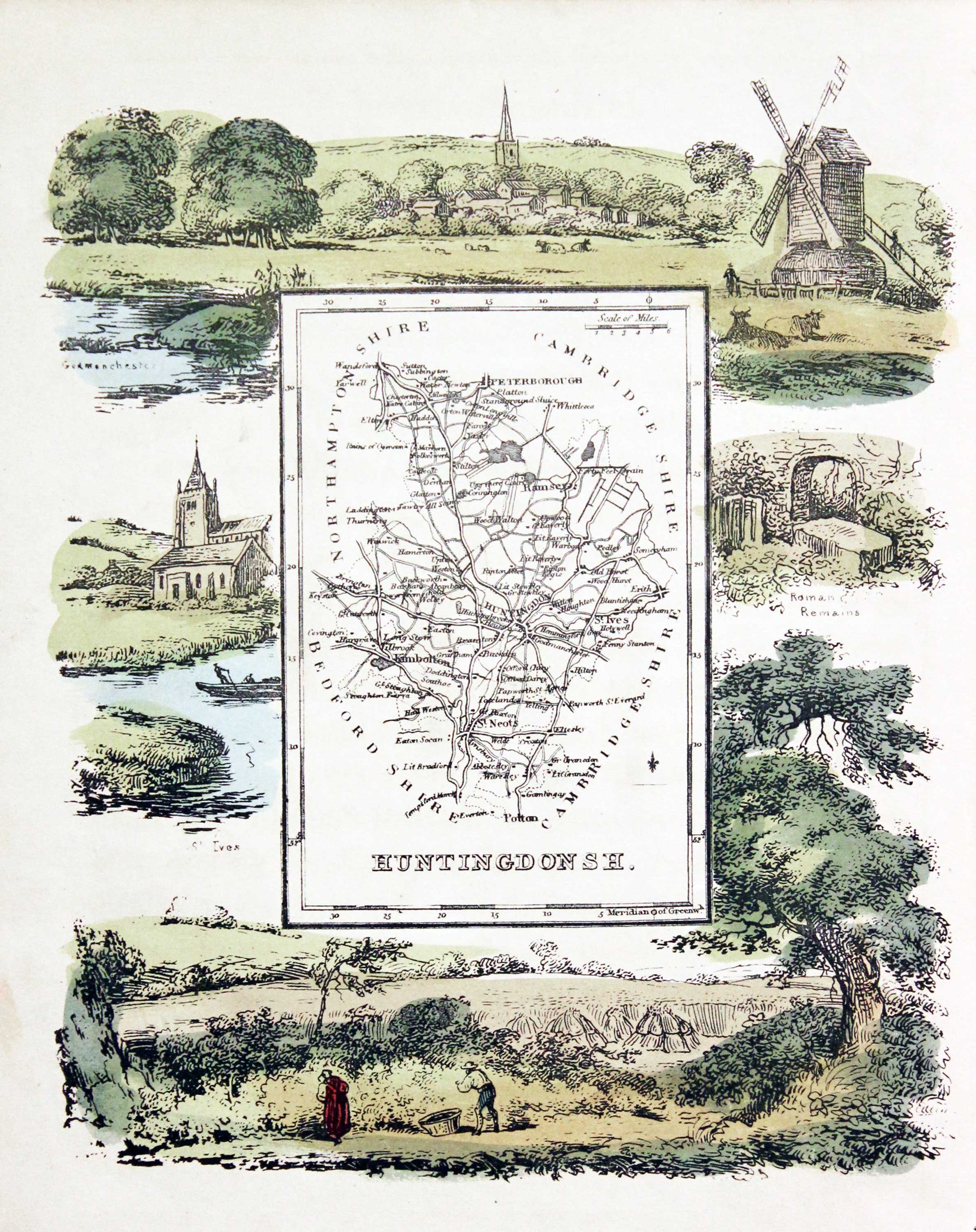
HUNTINGDONSH.
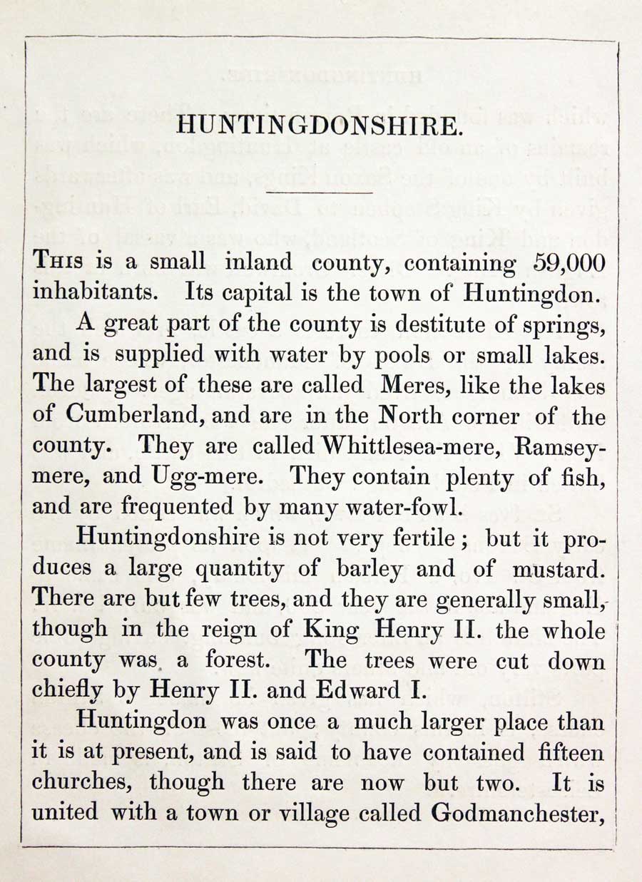
An uncommon lithograph miniature map of the county surrounded by a wide border of vignette views of local scenes including Godmanchester, St.Ives, Roman Remains and Farming. The maps first appeared in Miller’s New Miniature Atlas published in 1810. The decorative views were added and the maps republished by Darton & Clark in “Reuben Ramble’s Travels Through the Counties of England” in 1844. 5 3/4 x 7 1/4 inches. This is the size of overall area and not the contained map. Original hand colouring. With this map is the original double sided page of text describing the county.

For the Collector
-

Huntingdonshire, Carington Bowles, 1785

31430 Huntingdonshire, Carington Bowles, 1785. Price: 62.00
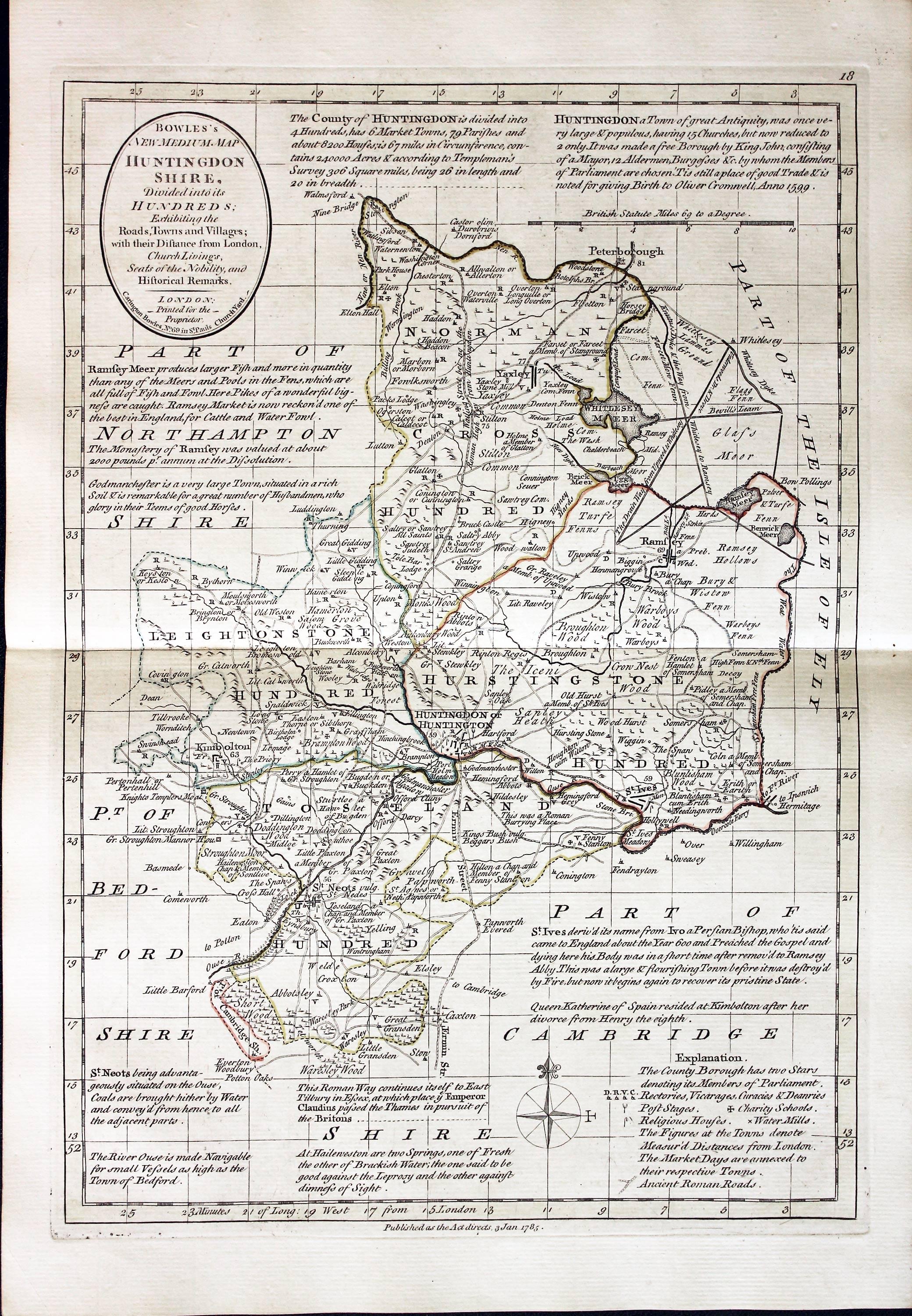
BOWLES’S NEW MEDIUM MAP OF HUNTINGDONSHIRE DIVIDED INTO ITS HUNDREDS
A good detailed late 18th century map of the county. The title appears within a circular panel bearing the imprint of Carington Bowles No. 69 in St. Paul’s Church Yard. Beneath the map is a further imprint Published as the Act directs, 3 Jan. 1785. Around the map are interesting engraved notes pertaining to the county. 12 1/2 x 8 3/4 inches. Explanation and scale. Original outline hand colouring. Superb clean condition having been taken straight from the atlas and not sold previously as a single map.
From: Bowles’s New Medium English Atlas.
The maps in this atlas are based on the maps by Emanuel and Thomas Bowen in their Atlas Anglicanus. The title cartouche has been changed as well as the addition of the distance in miles from London shown by some town names.
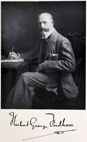
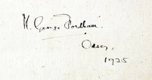
PROVENANCE
-

Titlepage
-
Sir H. George Fordham
-
Signature
19th Century
-

Huntingdonshire, Archibald Fullarton, 1843
31458 Huntingdonshire, Archibald Fullarton, 1843. Price: 14.00
HUNTINGDONSHIRE
A good detailed engraved mid 19th century map of the county. Scale, compass pointer and list of hundreds. Uncoloured. 7 1/2 x 9 1/2 inches. Original centre fold. Good clean condition.
From: The Parliamentary Gazetteer

19th Century - Early Hand Colouring
-

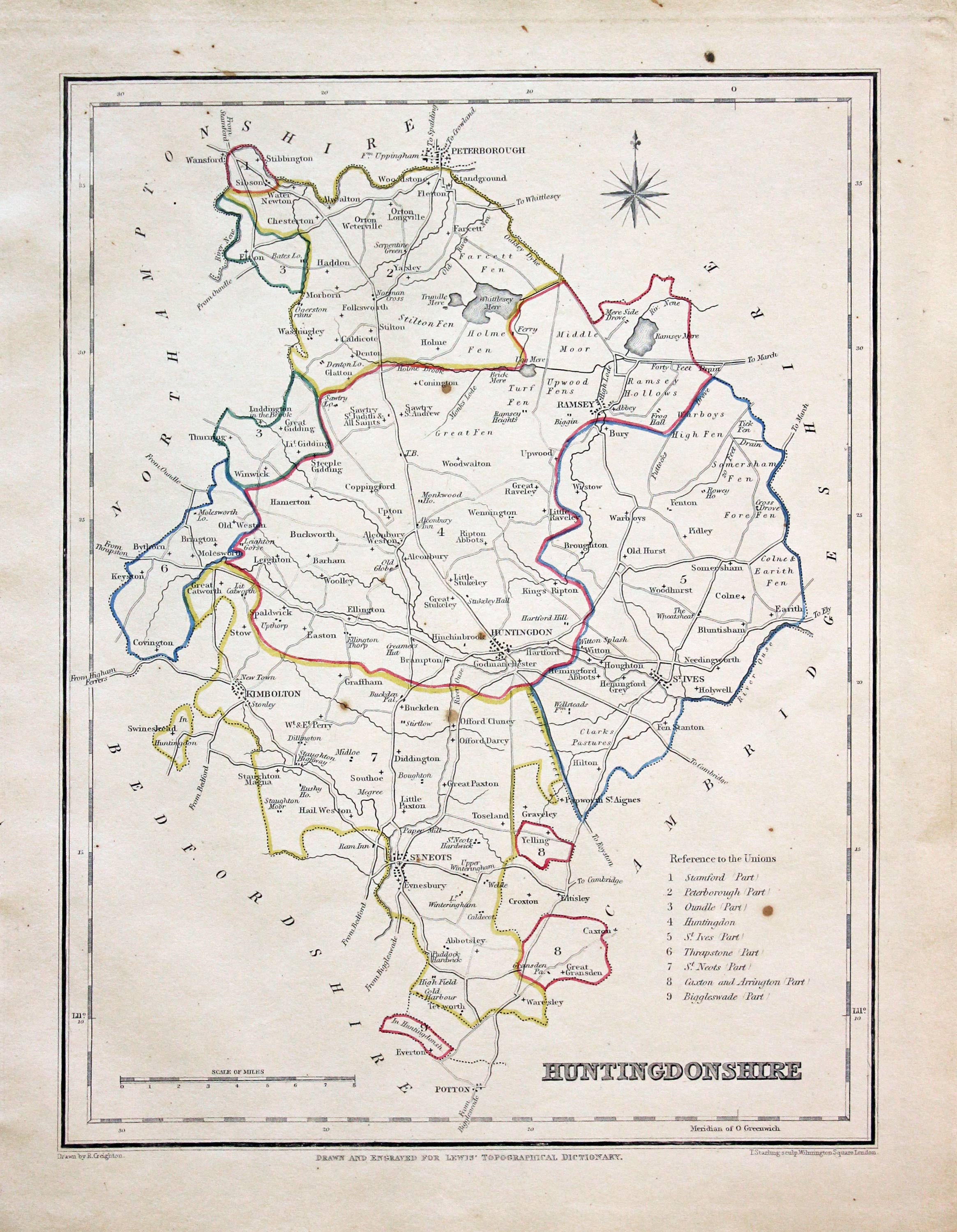
Huntingdonshire, Samuel Lewis 1845
31595 Huntingdonshire, Samuel Lewis, 1845. Price: 19.00
HUNTINGDONSHIRE
A county map drawn by R. Creighton and engraved by J. & C. Walker. Reference to the Unions. 6 3/4 x 9 inches. Original outline hand colouring. Good clean condition. Straight from the atlas and not sold as a single map before now.
From: Lewis' Atlas to the Topographical Dictionaries of England and Wales

Early 19th Century - Original Hand Colouring
-

Huntingdonshire, John Cary, 1802
31705 Huntingdonshire, John Cary, 1802. Price: 27.00
HUNTINGDONSHIRE
A well engraved detailed map of the county with title panel and compass rose combined. Scale. Imprint of John Cary dated 1793. With original page of descriptive text. 8 1/4 x 10 1/4 inches. Original outline hand colouring. Pinhole area of thinner paper. Pencil not on verso ‘ Henrietta Novr 6 - 84 sent watch chain for Matthew’. Good condition. I have dated this map 1802 because the many of the other maps in the atlas were watermarked with the date of 1802. The title page of the atlas is dated 1793.
From: Cary's New and Correct English Atlas

19th Century - In Need of Restoration
-

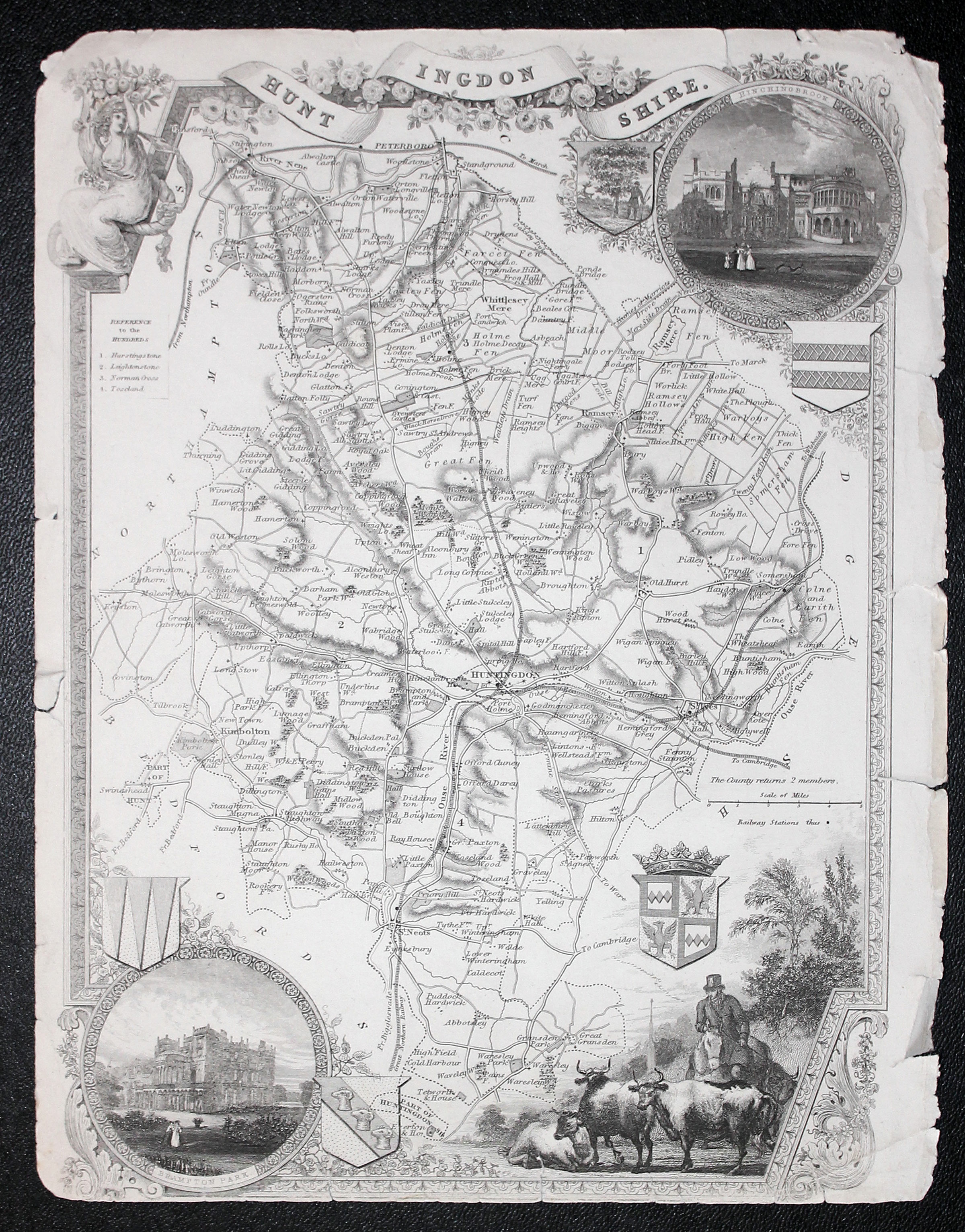
Huntingdonshire, Thomas Moule c.1850
32299 Huntingdonshire, Thomas Moule c.1850. Price: 9.00
HUNTINGDONSHIRE
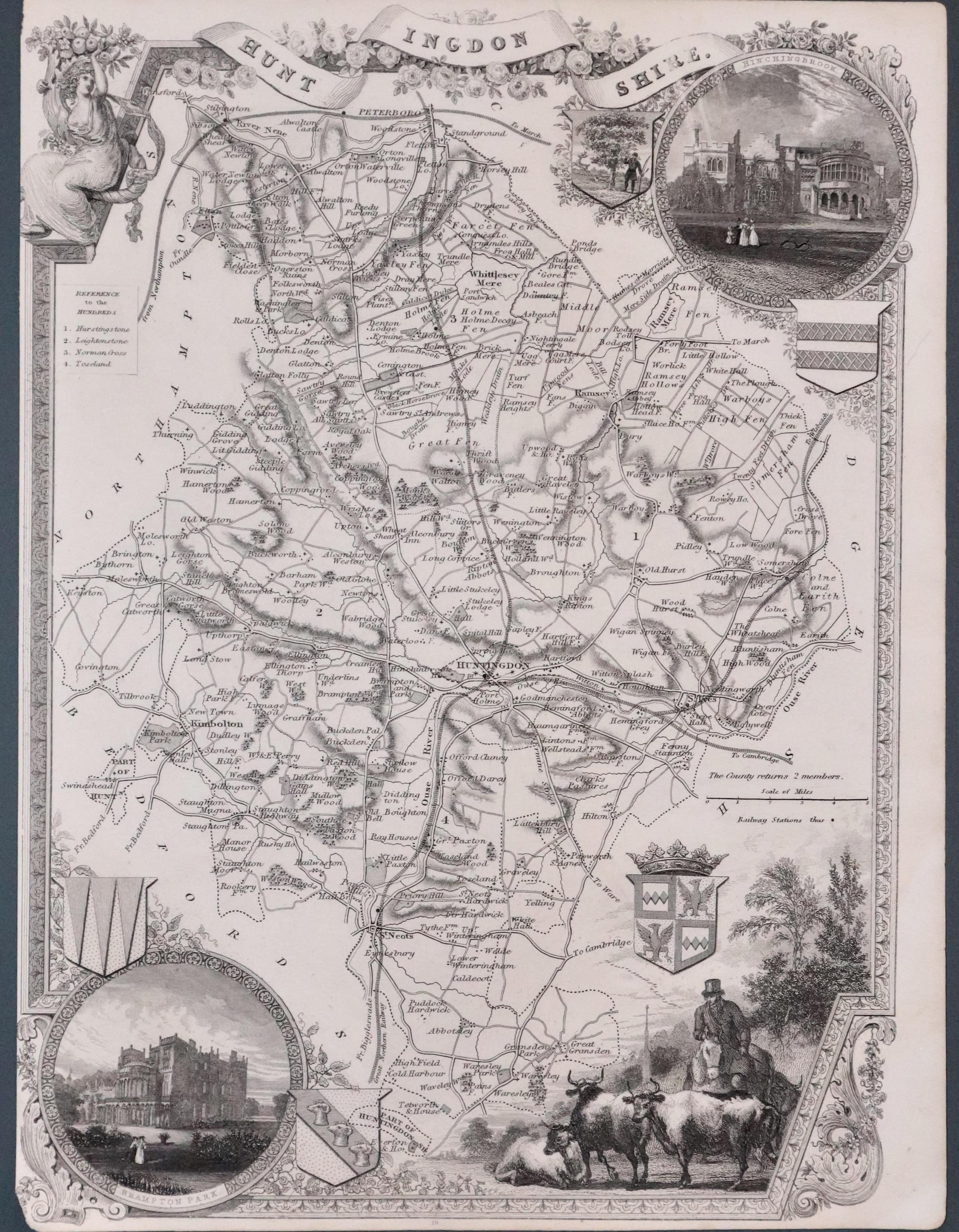
An attractive Victorian engraved map of the county. Elaborate border with a vignette view of a farmer and his cattle. Two inset circular views of Hinchingbroke and Brampton Park. Four coats of arms. 7 x 10 inches. Uncoloured. Clean but in need of restoration. Marginal tears. Special Price.
From: Barclay’s Dictionary

Late 18th Century - Early Hand Colouring
-

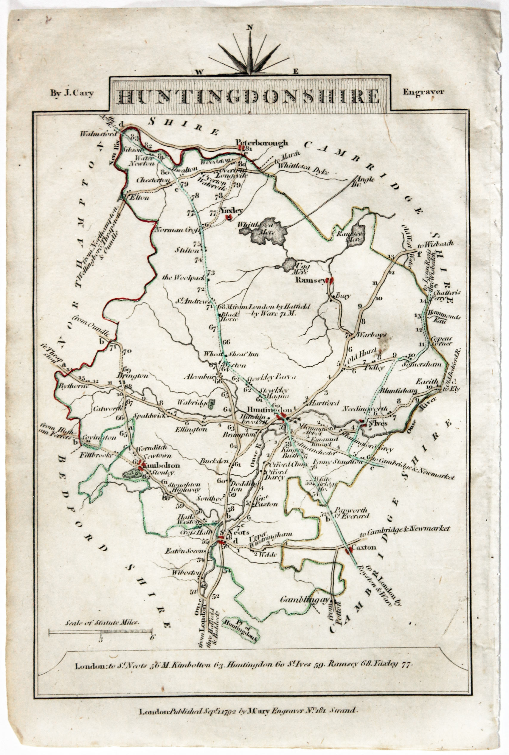
Map of Hertfordshire John Cary, 1792

32581 Huntingdonshire, John Cary, 1792. Price: 9.00
HUNTINGDONSHIRE
A small engraved map of the county. Tile panel surmounted by half compass rose. Panel at bottom with list of distances from London. Publisher’s imprint beneath dated 1792. 3 1/2 x 4 3/4 inches. Thin paper. Original outline hand colouring. Good condition.
From: Cary’s Traveller’s Companion
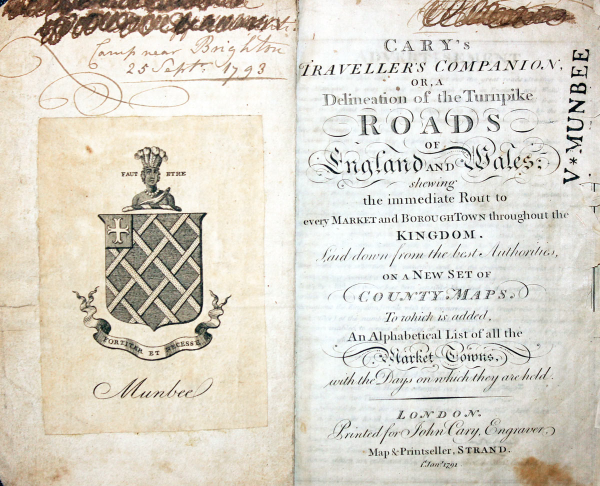
Titlepage dated 1791, maps dated 1792. The atlas was formerly in the Mumbee family library - titlepage stamped V. Munbee
Provenance
-
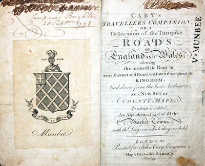
Cary Titlepage and Munbee Bookplate

17th Century - Text
-

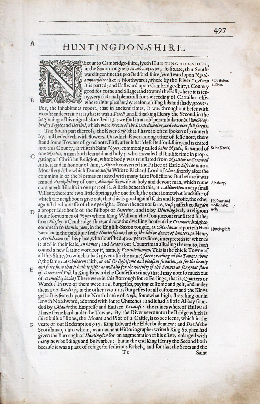
Huntingdonshire text by William Camden 1637
32826 Huntingdonshire, William Camden, 1637. Price: 7.00
HUNTINGDONSHIRE
Pages 505 - 515 inclusive describing Huntingdonshir in English. About 13 x 8 inches. Good condition.
From: Camden’s Britannia

19h Century - Early Hand Colouring
-

Map of Huntingdonshire by Samuel Lewis 1848
32914 Huntingdonshire, Samuel Lewis, 1848. Price: 19.00
HUNTINGDONSHIRE
A county map drawn by R. Creighton and engraved by T. Starling. Reference to the Unions. 6 3/4 x 9 inches. Original outline hand colouring. Small brown spot in right hand blank margin othersie good clean condition. Straight from the atlas and not sold as a single map before now.
From Lewis' Atlas to the Topographical Dictionaries of England and Wales

19th Century
-

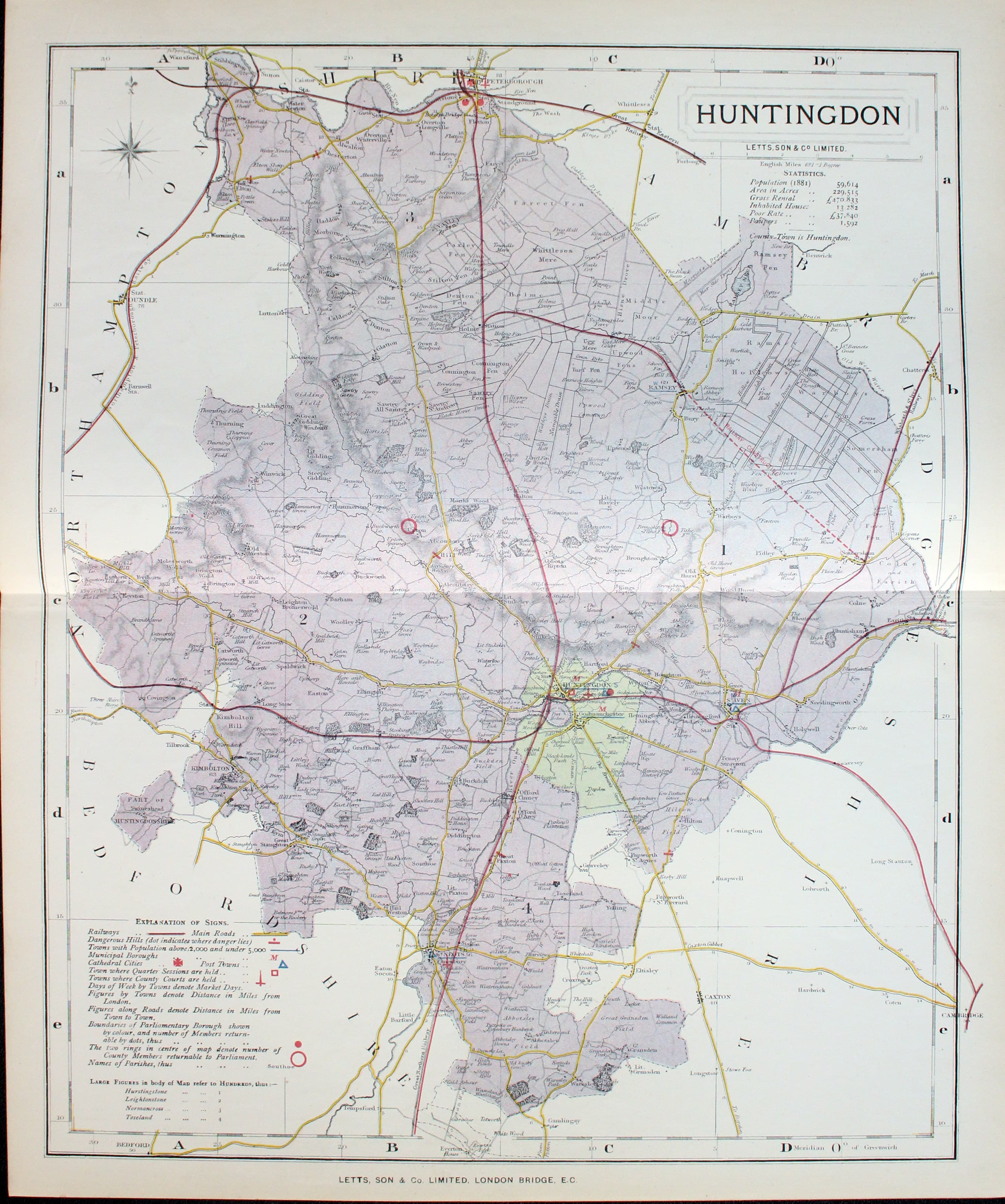
Map of Huntingdonshire by Thomas Letts
32971 Huntingdonshire, Thomas Letts, 1884. Price: 20.00
HUNTINGDON
A detailed chromolithograph map of the county. Explanation plus statistics concerning Population, Area, Inhabited Houses, Poor Rate and Paupers. 12 3/4 x 15 1/2 inches. Original centre fold. Imprint of Letts & Son beneath. Fine clean condition. Straight from the atlas so never previously been sold as a single map.
From: Lett’s Popular County Atlas

19th Century
-

Map of Huntingdonshire by Thomas Moule c.1850
33355 Huntingdonshire, Thomas Moule c.1850. Price: 14.00
HUNTINGDONSHIRE
An attractive Victorian engraved map of the county. Elaborate border with a vignette view of a farmer and his cattle. Two inset circular views of Hinchingbroke and Brampton Park. Four coats of arms. 7 x 10 inches. Uncoloured. Some trimming on the left hand side of the map.
From: Barclay’s Dictionary

Late 17th Century
-

Huntingdonshire, Richard Blome 1673
33454 Huntingdonshire, Richard Blome, 1673. Price: 70.00
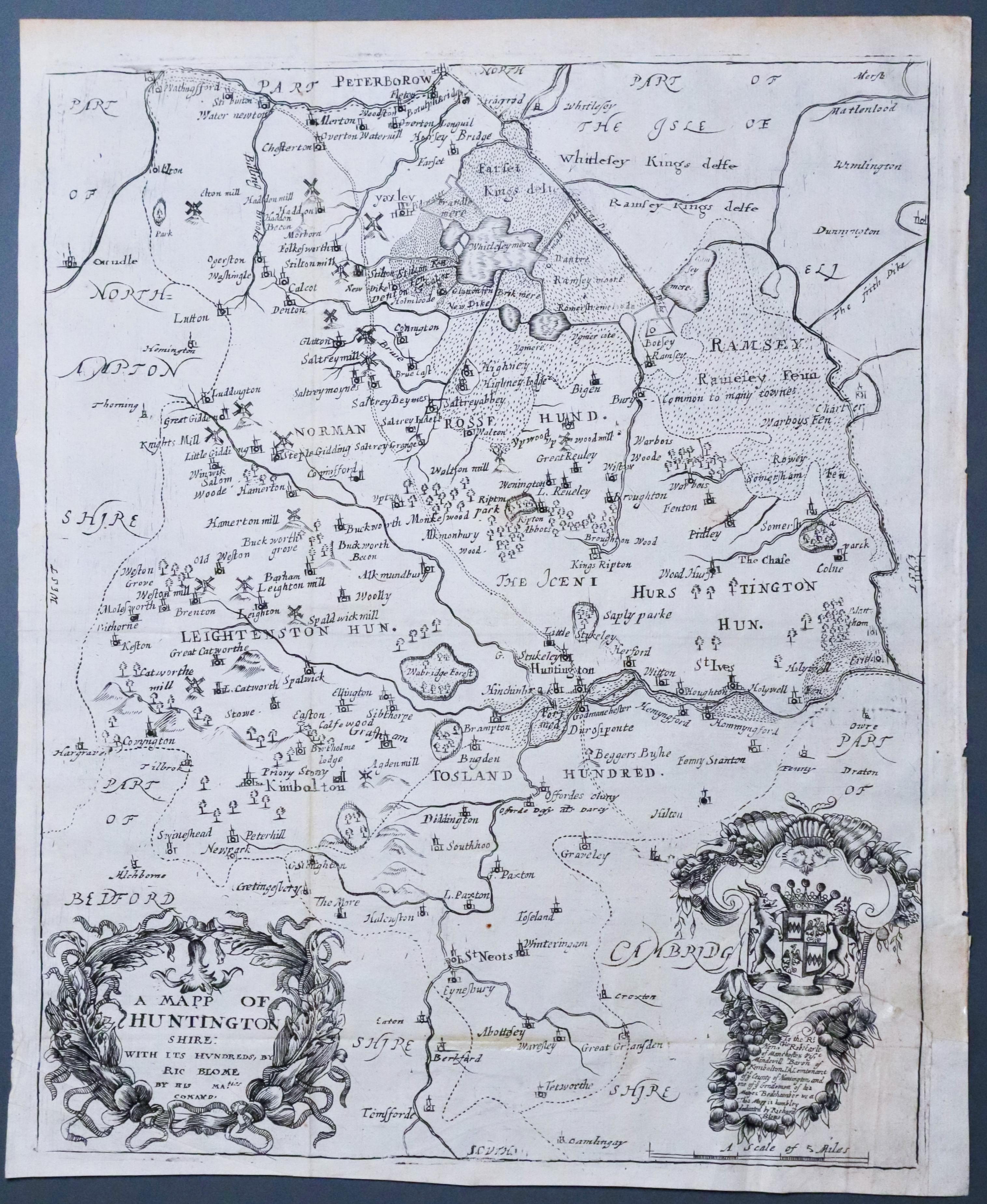
A MAPP OF HUNTINGTON SHIRE with its Hundreds , By Ric. Blome....
A 17th century engraved map of the county embellished with a decorative title cartouche. Dedication to the Earl of Manchester within a decorative cartouche with his coat of arms. 10 x 12 inches. Uncoloured. Tear in bottom right hand corner repaired on verso. Two original horizontal creases and one vertical. This is common where the maps appear folded in some copies of the atlas.
From: Britannia

18th Century - First Edition
-

Huntingdonshire, Robert Morden 1695
33497 Huntingdonshire, Robert Morden 1695. Price: 40.00
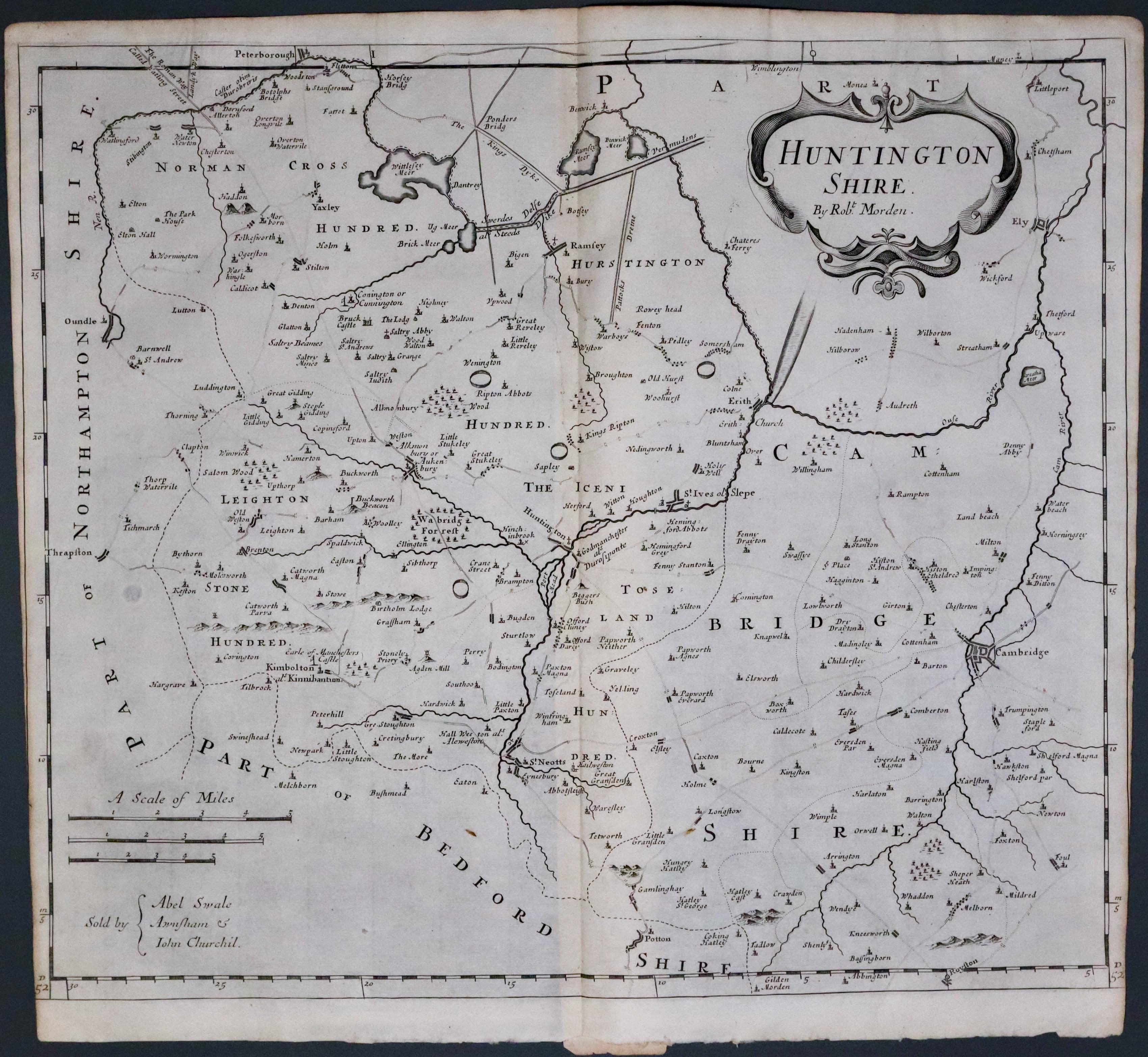
HUNTINGTON SHIRE BY ROBT. MORDEN
The FIRST EDITION of thi s good engraved late 17th century map of map of the county embellished with a decorative title cartouche. Three scales. Imprint of the publishers Abel Swale with Awnsham and John Churchill. 16 3/4 x 14 inches, 422 x 357 mm. Uncoloured. Oriinal centre fold. Some trimming to the bottom of the left and right hand side printed borders. Some trimming is fairly common with this first edition. Otherwise good clean condition.One of the first maps of the county to show the main coach roads following Ogilby’s survey some 20 years earlier.
From: Camden's Britannia
