Antique Maps of Leicestershire
Richard Nicholson of Chester
A WORLD OF ANTIQUE MAPS AND PRINTS
Established in 1961
All the Maps on this page are guaranteed to be genuine early specimens
published in or around the year stated
19th Century - Early Hand Colouring
-

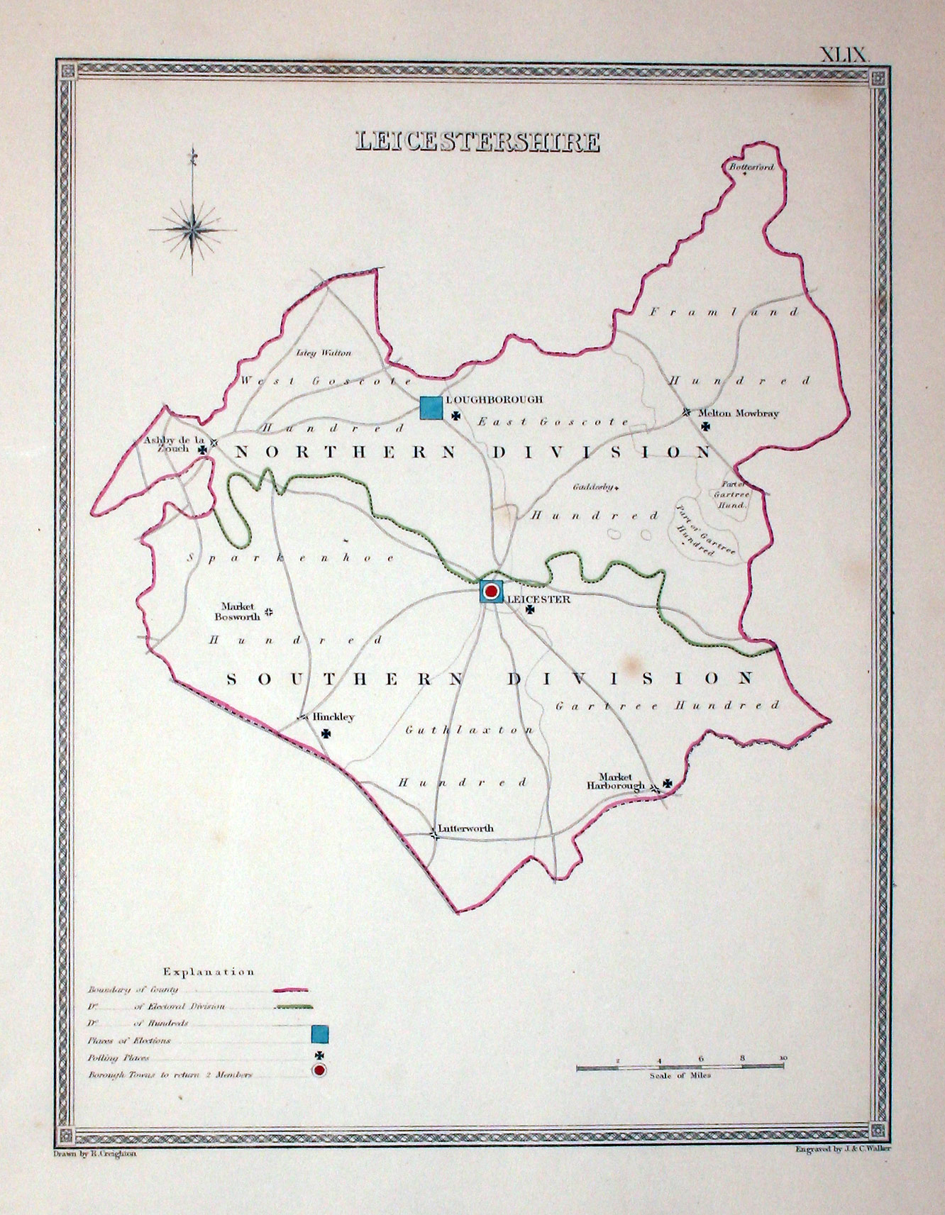
Leicestershire, Samuel Lewis, c.1835
7640 Leicestershire, Samuel Lewis, c.1835. Price: 19.50
LEICESTERSHIRE
An engraved map of the county with few place names but showing the electoral divisions. Key to Places, of Elections, Polling Places and Borough Towns. Drawn by R. Creighton and engraved by J. and C. Walker. 7 1/4 x 9 1/2 inches. Original outline hand colouring. Good condition.

19th Century - Early Hand Colouring
-
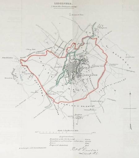
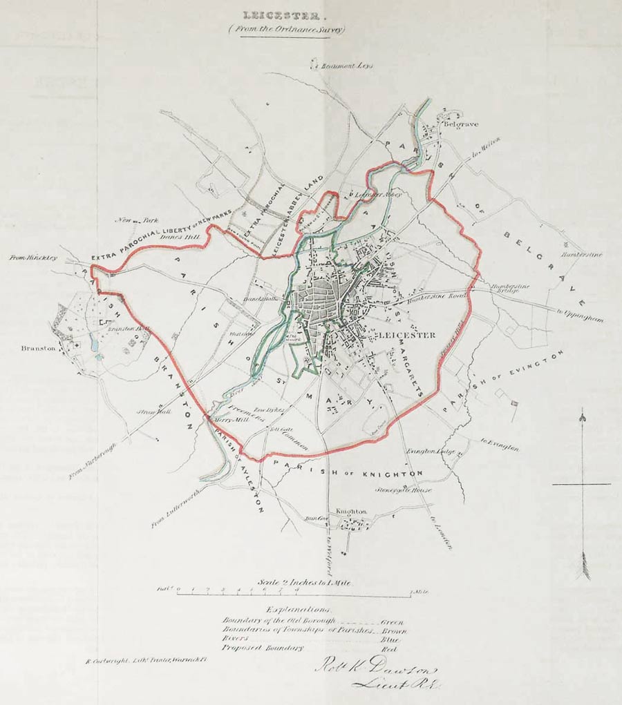
Leicester, Lt. Robert Kearsley Dawson, 1832
26858 Leicester, Lt. Robert Kearsley Dawson, 1832. Price: 35.00
LEICESTER FROM THE ORDNANCE SURVEY
Lithograph map of Leicester and environs on a scale of 2 inches to the mile. Compass pointer and explanation. About 10 1/2 x 11 inches. Original hand colouring. Good clean condition. With the original pages of descriptive text.
From: Plans of the Cities and Boroughs of England and Wales

19th Century - Early Hand Colouring
-
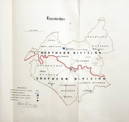
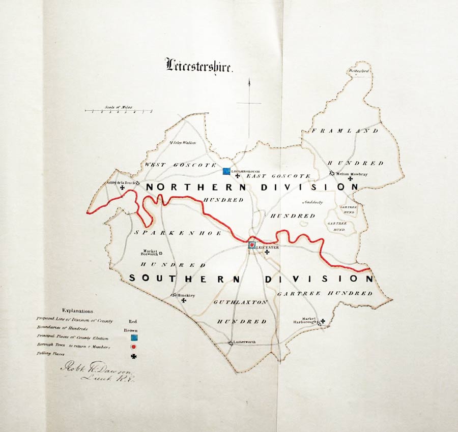
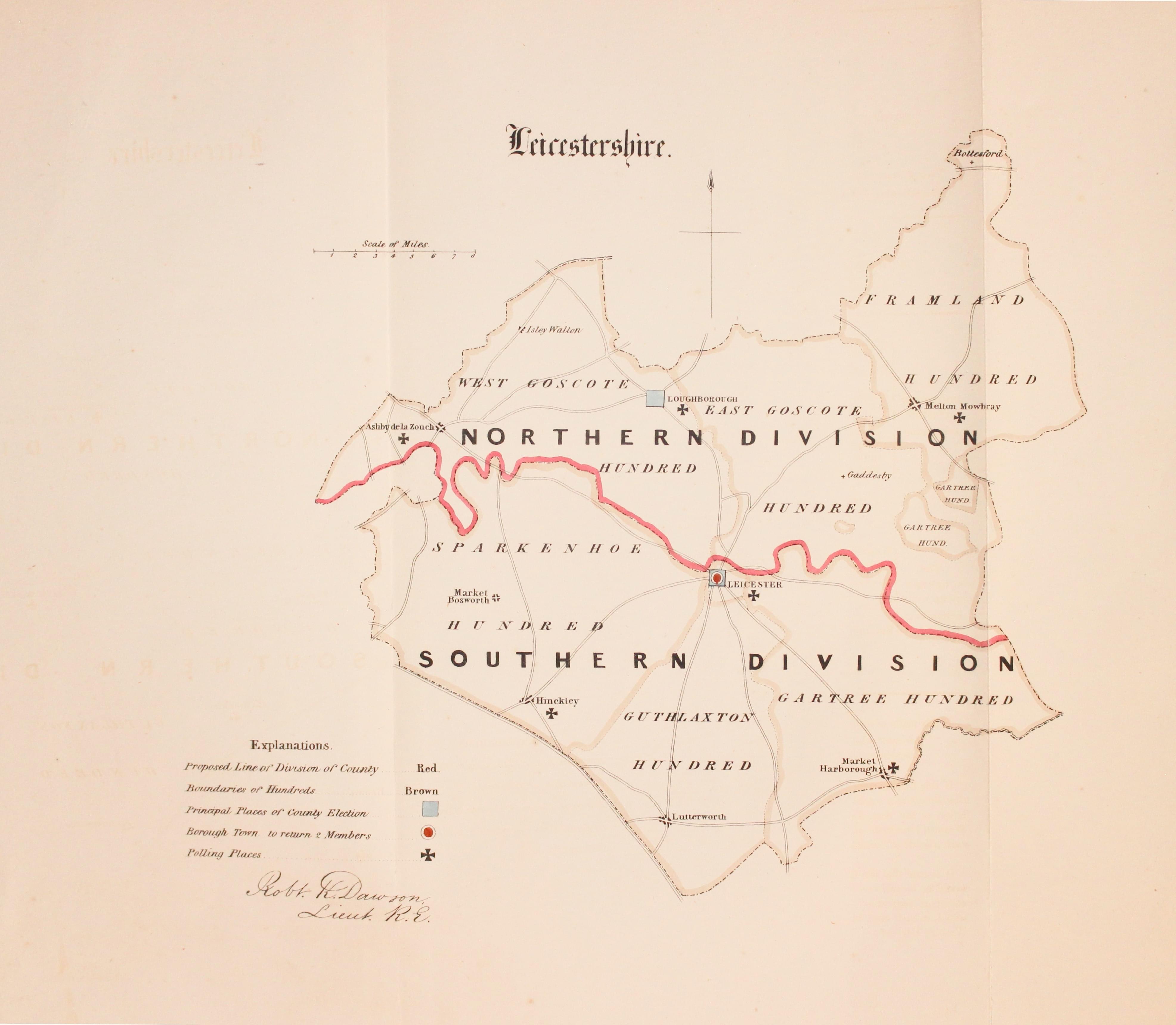
Leicestershire, Lt. R. K. Dawson, 1832
27984 Leicestershire, Lt. R. K. Dawson, 1832. Price: 25.00
LEICESTERSHIRE A simple lithograph map of the county divided into hundreds and showing the Principal Places of County Election and Polling Places. Compass pointer and explanation. About 10 x 9 inches plus large blank margins. Original hand colouring. Good clean condition. With the original page of descriptive text.
From: Plans of the Cities and Boroughs of England and Wales

19th Century
-

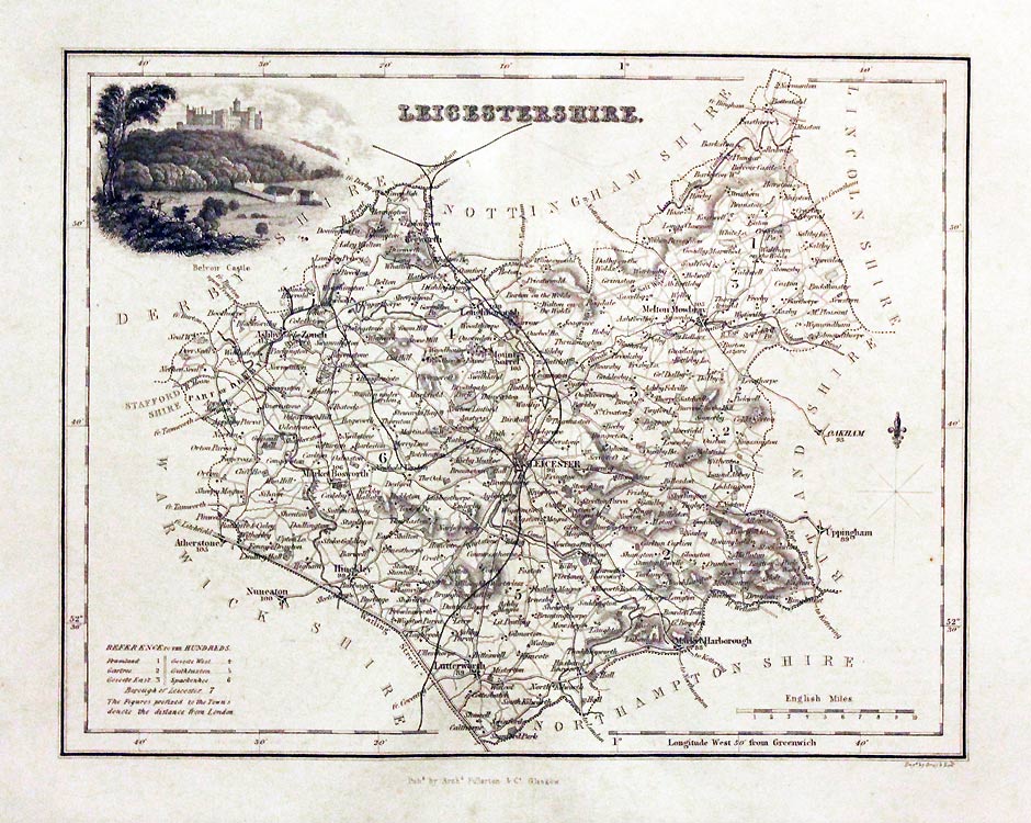
Leicestershire, Archibald Fullarton, c.1843
29684 Leicestershire, Archibald Fullarton, c.1843. Price: 32.00
LEICESTERSHIRE
A detailed engraved map of the county embellished with a vignette view of Belvoir Castle. Scale and list of hundreds. 9 1/4 x 7 1/4 inches. Uncoloured. Good condition.
From: The Parliamentary Gazetteer

Early 19th Century - Original Hand Colouring
-
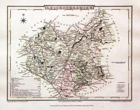
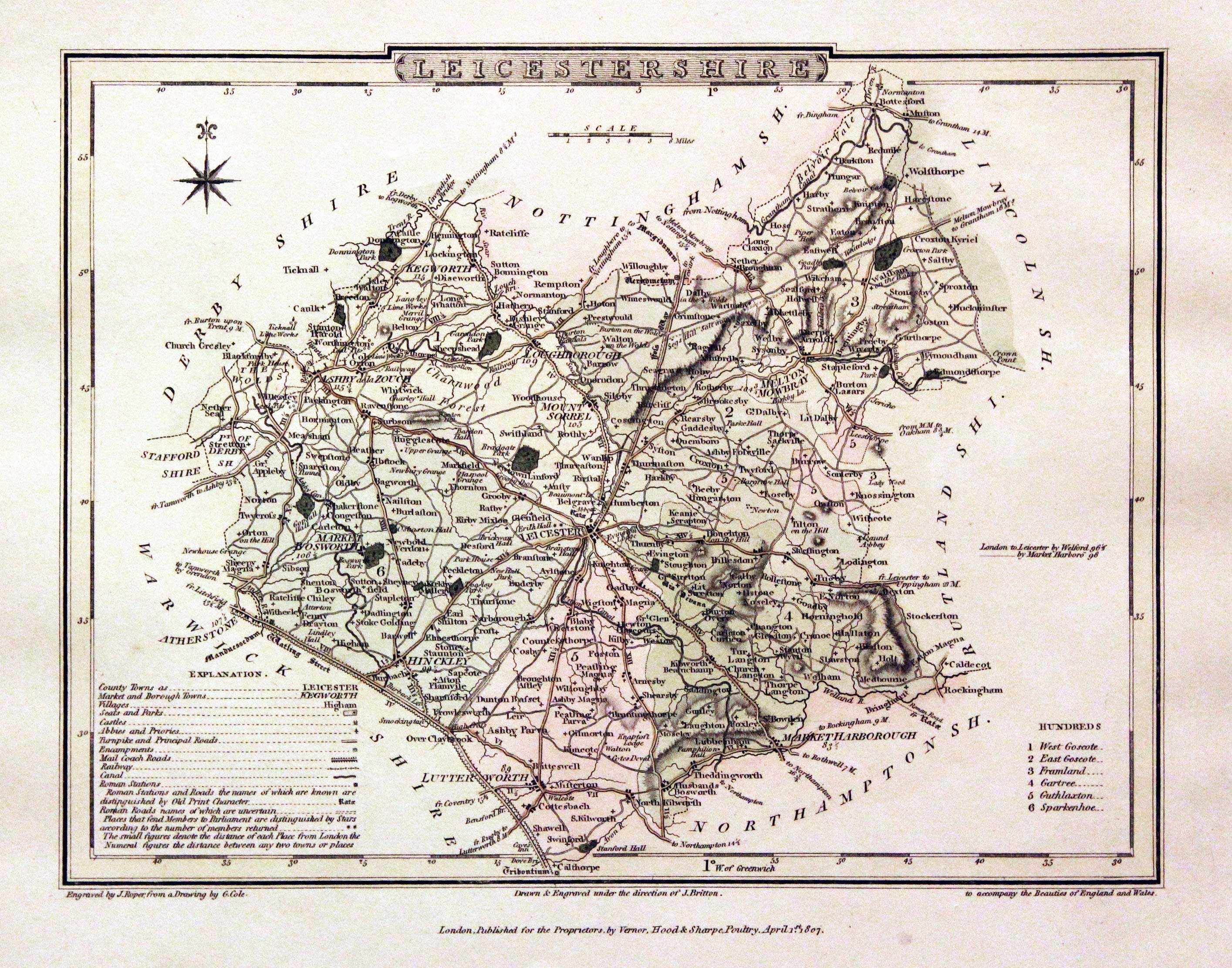
Leicestershire, George Cole and John Roper, 1810
30041 Leicestershire, George Cole and John Roper, 1810. Price: 37.00
LEICESTERSHIRE
A good detailed engraved county map with explanation and list of hundreds. Publisher's imprint dated 1807. 9 x 7 inches. Original wash hand colouring. Good clean condition with wide blank margins. Straight from the atlas and not sold as a single map before.
From: The British Atlas

19th Century - Early Hand Colouring
-

Victorian map of Leicestershire, John and Charles Walker, 1851

30228 Leicestershire, John and Charles Walker, 1851. Price: 40.00
LEICESTERSHIRE
A good detailed engraved map of the county including the railways. Inset map “Continuation of Rutlandshire on the same scale”. Title panel with the names of J. & C. Walker beneath. Scale and explanation. Original outline and wash hand colouring. Imprint of Longman, Rees, Orme, Browne & Co. Paternoster Row beneath. 12 1/2 x 15 1/4 inches. Good condition. This map has been taken from the atlas and not been offered before as a single map.
From: The British Atlas
Low Priced Original 19th Century County Map
-
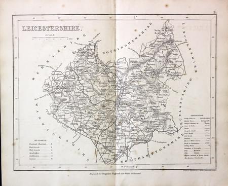
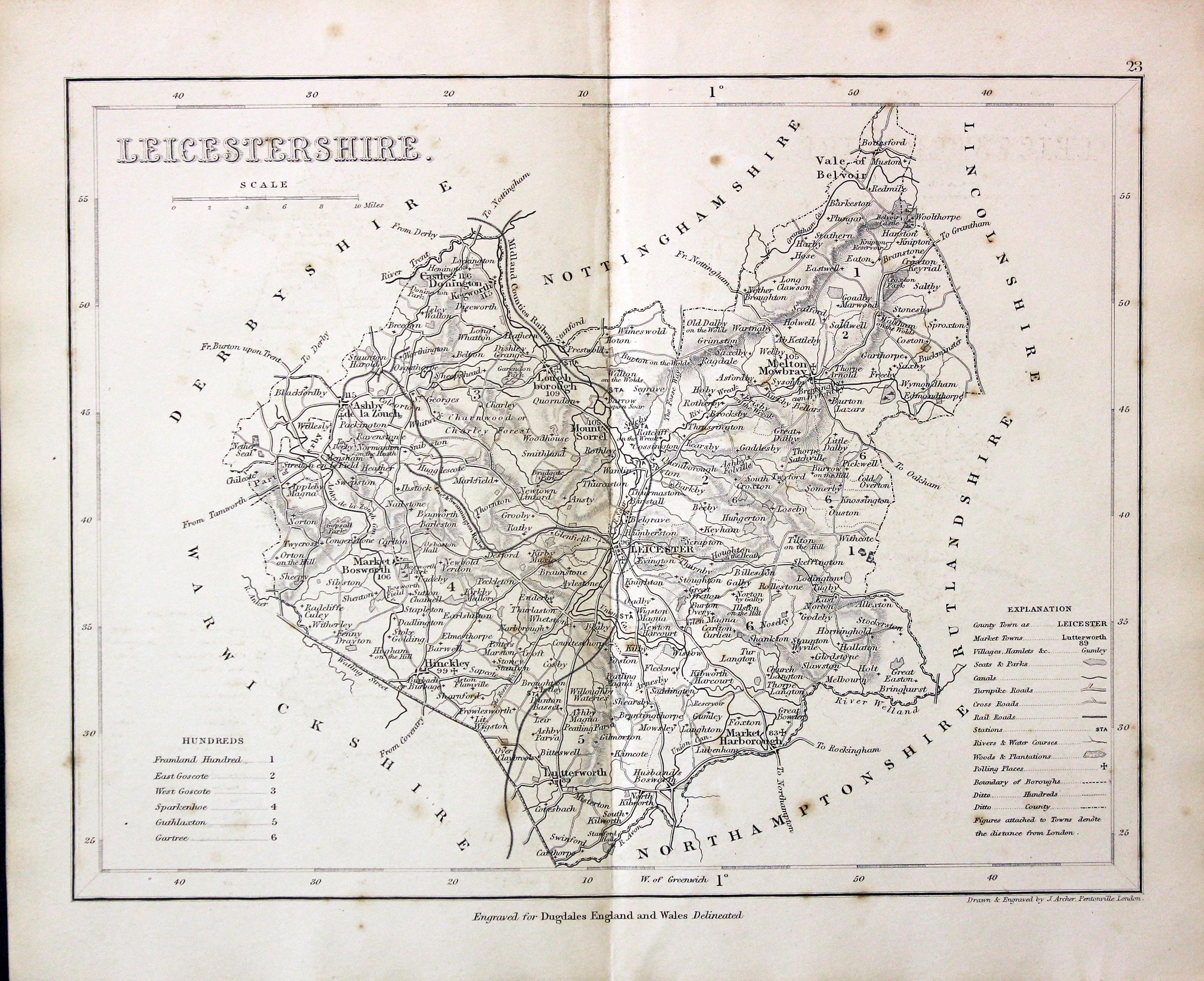
Leicestershire, Joshua Archer, c.1845

31343 Leicestershire, Joshua Archer, c.1845. Price: 19.00
LEICESTERSHIRE
An engraved map of the county with scale, list of hundreds and explanation. 9 1/4 x 7 inches. Uncoloured. 9 1/4 x 7 inches. A little lights scattered foxing otherwise good condition.
Engraved for Dugdales England and Wales Delineated
19th Century - Early Hand Colouring
-
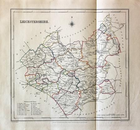
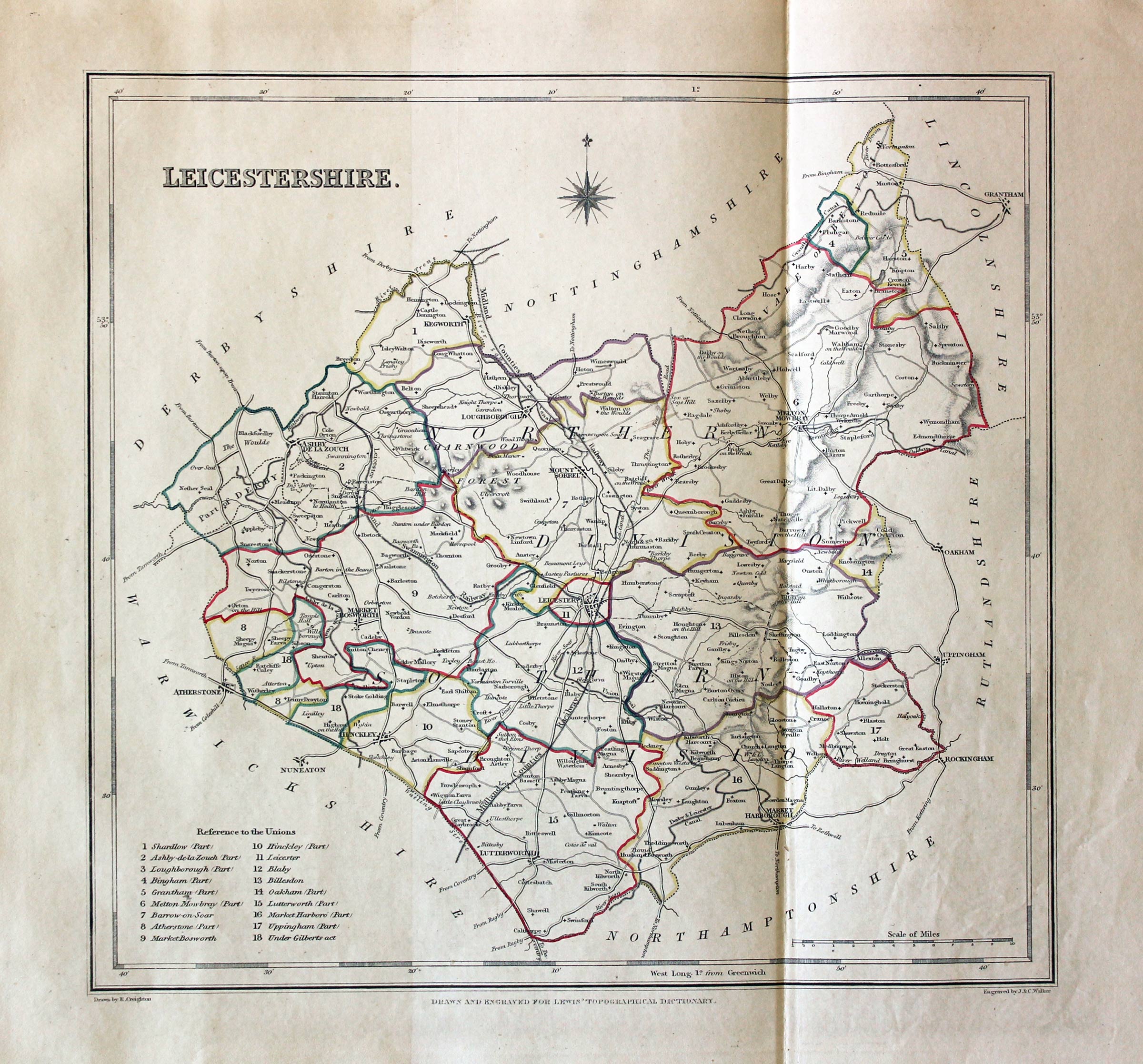
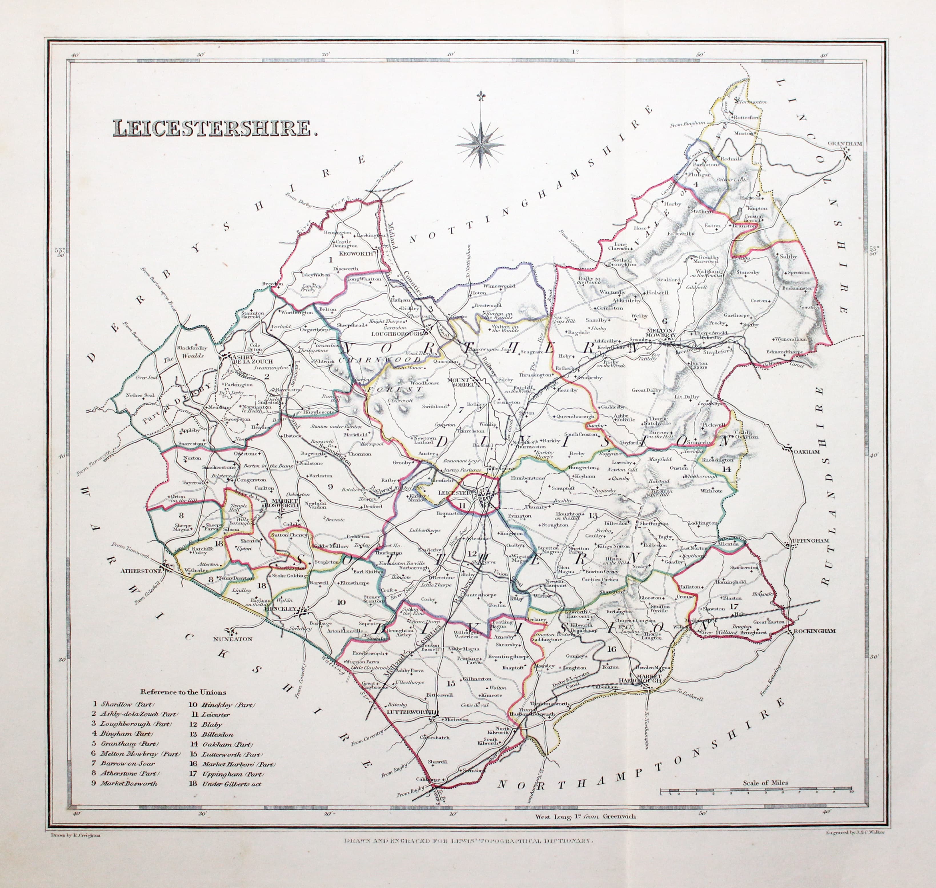
Leicestershire, Samuel Lewis 1845

31599 Leicestershire, Samuel Lewis, 1845. Price: 26.00
LEICESTERSHIRE
A county map drawn by R. Creighton and engraved by J. & C. Walker. Reference to the Unions. 9 1/2 x 9 inches. Single fold crease as issued. Original outline hand colouring. Good clean condition. Straight from the atlas and not sold as a single map before now.
From: Lewis' Atlas to the Topographical Dictionaries of England and Wales
Well Engraved Original Early 19th Century Map
-
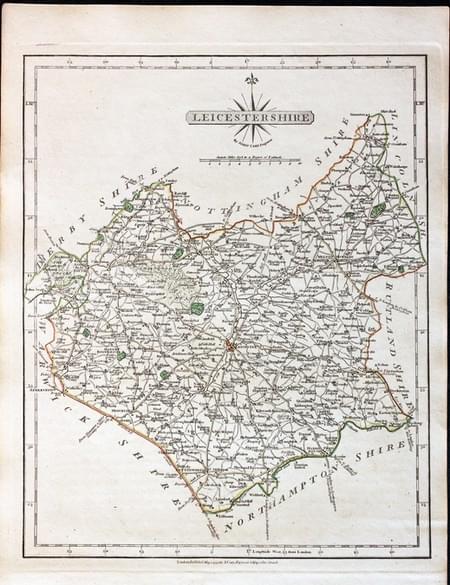
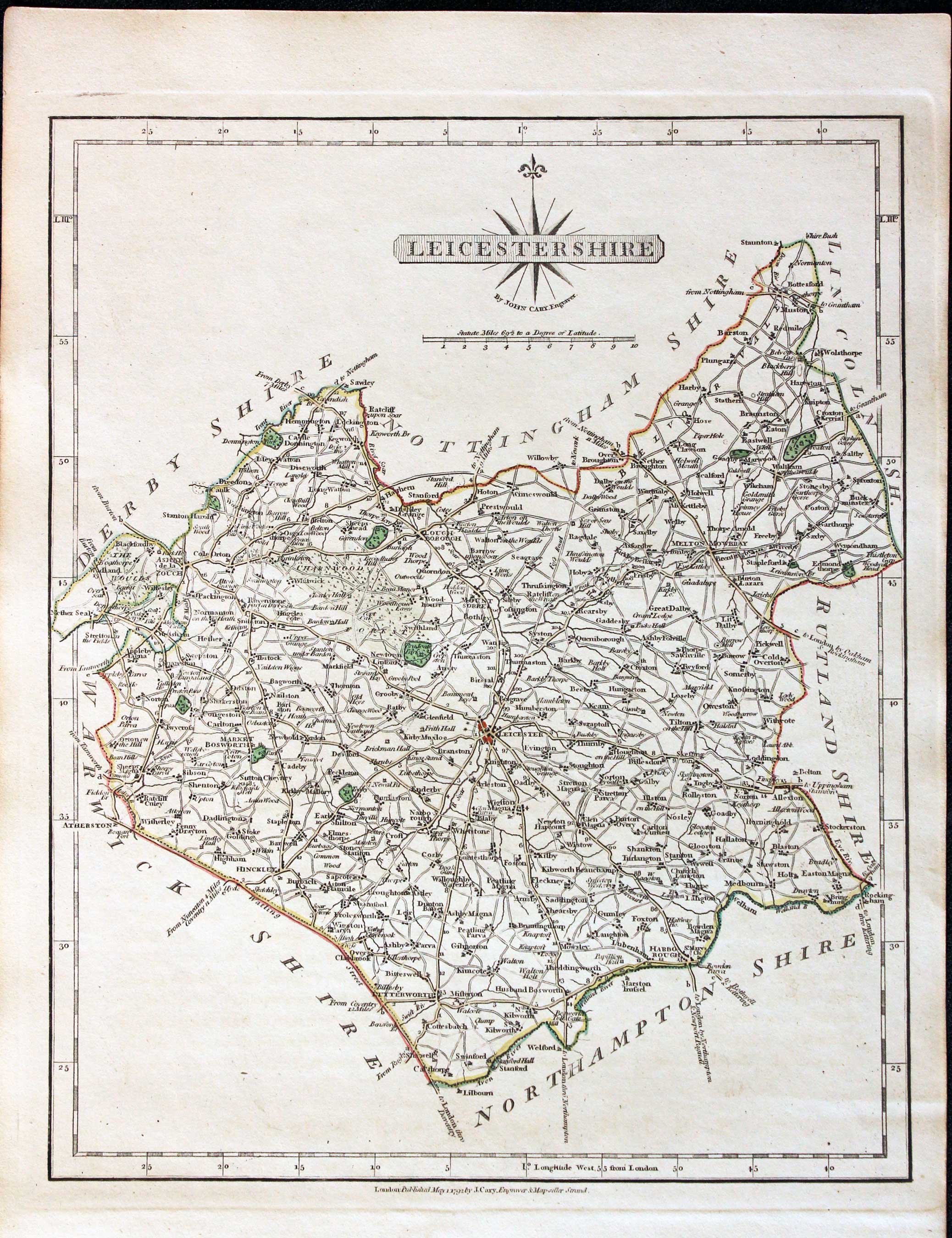
Leicestershire, John Cary, 1802

31708 Leicestershire, John Cary, 1802. Price: 42.00
LEICESTERSHIRE
A well engraved detailed map of the county with title panel and compass rose combined. Scale. Imprint of John Cary dated 1793. With original page of descriptive text. 8 1/4 x 10 1/4 inches. Original outline hand colouring. Good condition. I have dated this map 1802 because the many of the other maps in the atlas were watermarked with the date of 1802. The title page of the atlas is dated
From: Cary's New and Correct English Atlas
18th Century - County and Road Map
-

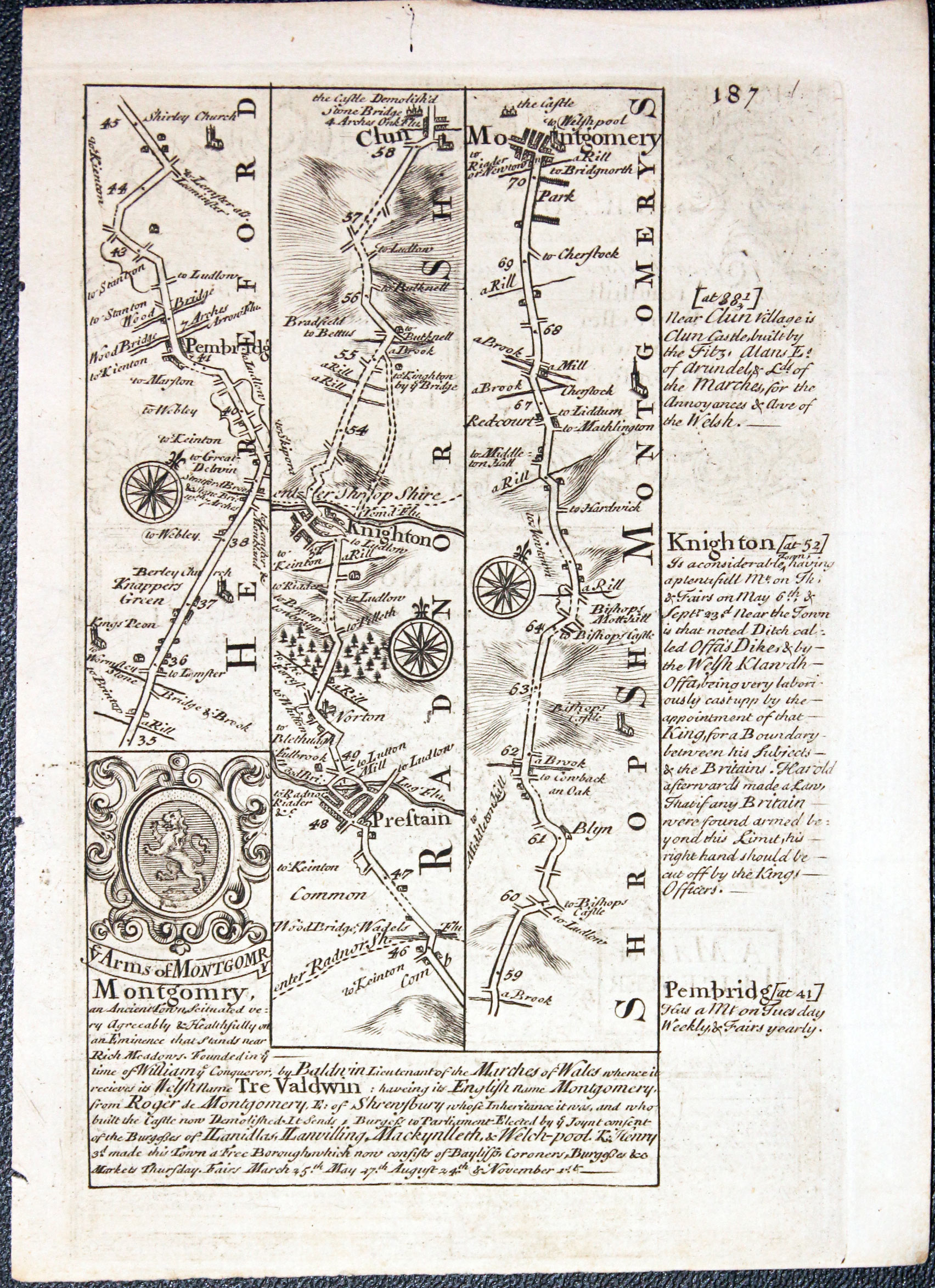
Road map from Pembridge to Mongomry by John Owen and Emanuel Bowen, 1753
-
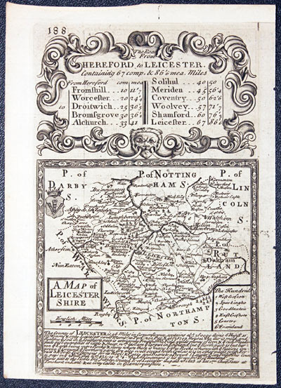
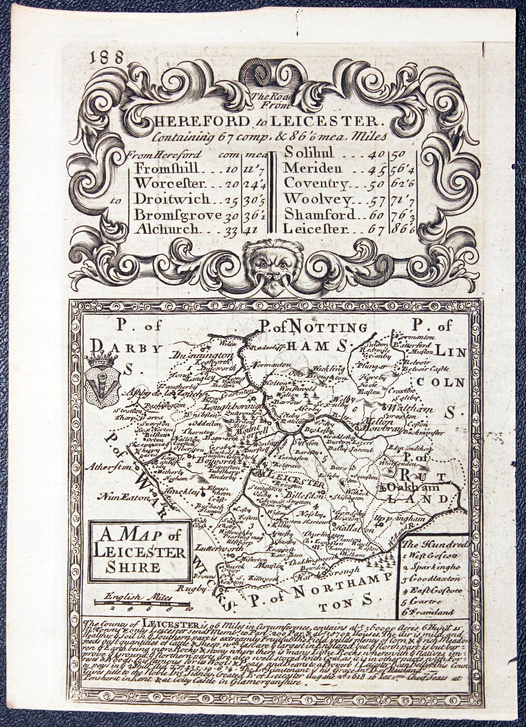
Map of Leicestershire by John Owen and Emanuel Bowen, 1753
32461 Leicestershire, John Owen and Emanuel Bowen, 1753. Price: 35.00
A MAP OF LEICESTER SHIRE
An engraved map of the county with a list of hundreds and coat of arms. Description of the county beneath whilst the map is surmounted by a decorative baroque cartouche titled The Road From Hereford to Leicester. Road map on verso from Pembridge to Montgomery with coat of arms and engraved notes. 4 1/2 x 7 inches, 115 x 185 mm. Uncoloured. Good condition. This map has just been from the atlas and therefore not sold before as a single map.
From: Britannia Depicta


PROVENANCE
At some time part of the Townsend Family library
Late 18th Century - Original Hand Colouring
-

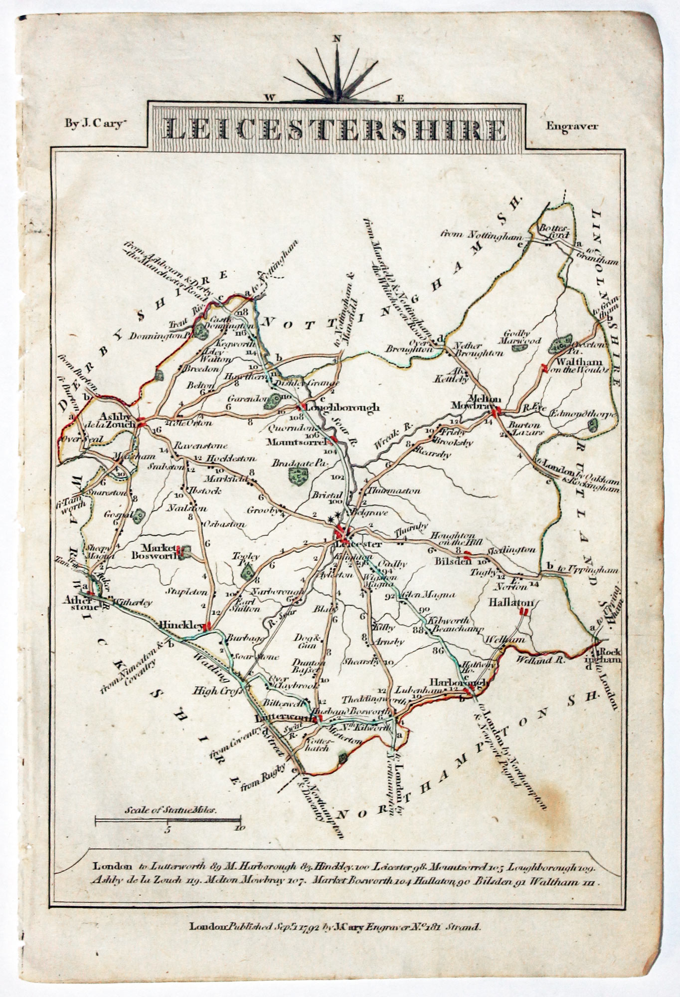
Map of Leicestershire, John Cary, 1792
32560 Leicestershire, John Cary, 1792. Price: 12.00
LEICESTERSHIRE A small engraved map of the county. Tile panel surmounted by half compass rose. Panel at bottom with list of distances from London. Publisher’s imprint beneath dated 1792. 3 1/2 x 4 3/4 inches. Thin paper. Original outline hand colouring. Good condition.
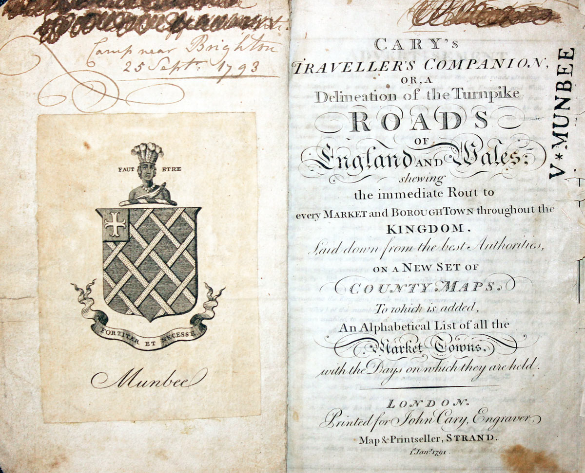
From: Cary’s Traveller’s Companion
Title page dated 1791, maps dated 1792. The atlas was formerly in the Mumbee family library - titlepage stamped V. Munbee
Provenance
-
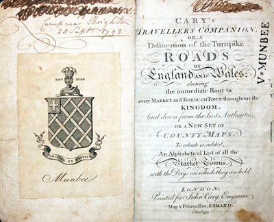
Cary Titlepage and Munbee Bookplate

19th Century - Early Hand Colouring
-
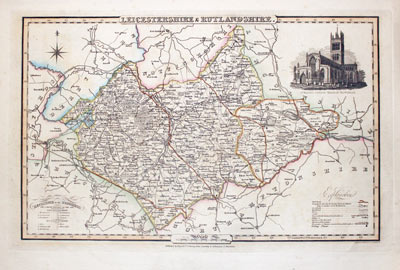
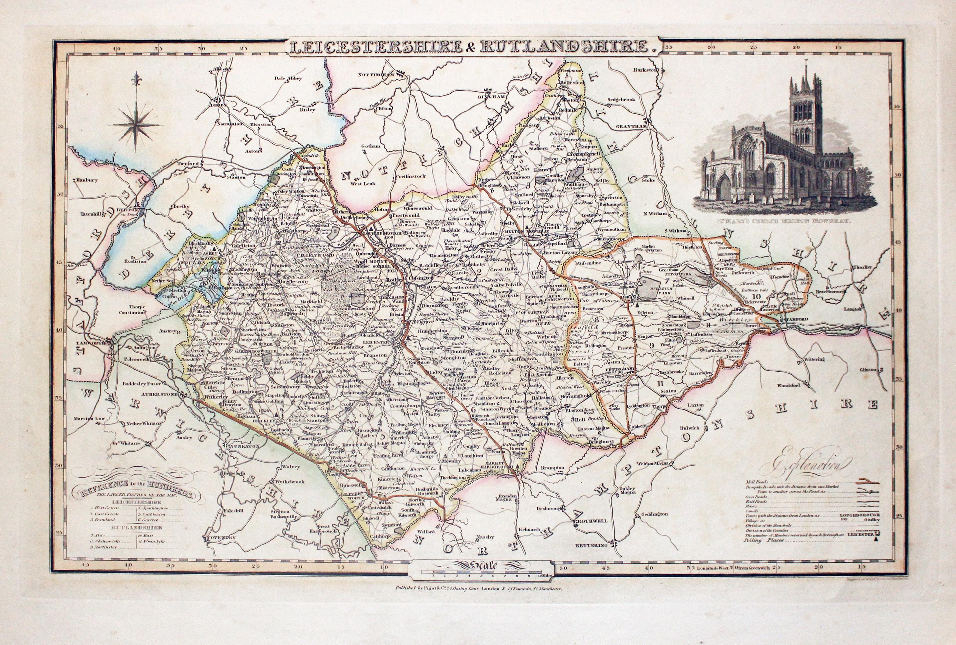
Map of Leicestershire and Rutlandshire, James Pigot c.1830

32859 Leicestershire & Rutlandshire, James Pigot, c.1830. Price: 58.00
LEICESTERSHIRE & RUTLANDSHIRE
An engraved map of the two counties with title, scale, explanation and list of hundreds. Embellished with an uncoloured view of St. Mary’s Church, Melton Mowbray. Imprint of the publishers Pigot & Co. 24 Basing Lane & 18 Fountains St. Manchester beneath. 8 3/4 x 14 inches. Original outline hand colouring. Good condition.
From: British Atlas
19h Century - Early Hand Colouring
-

Map of Leicestershire by Samuel Lewis 1848

32918 Leicestershire, Samuel Lewis, 1848. Price: 25.00
LEICESTERSHIRE
A county map drawn by R. Creighton and engraved by J. & C. Walker. Reference to the Unions. 9 1/2 x 9 inches. Single fold crease as issued. Original outline hand colouring. Original vertical fold crease. Good clean condition. Straight from the atlas and not sold as a single map before now.
From: Lewis' Atlas to the Topographical Dictionaries of England and Wales
19th Century
-
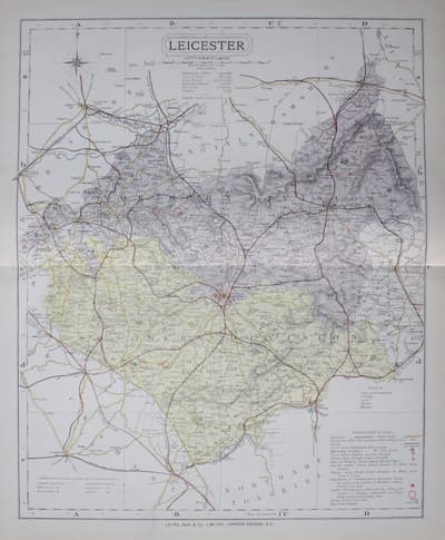
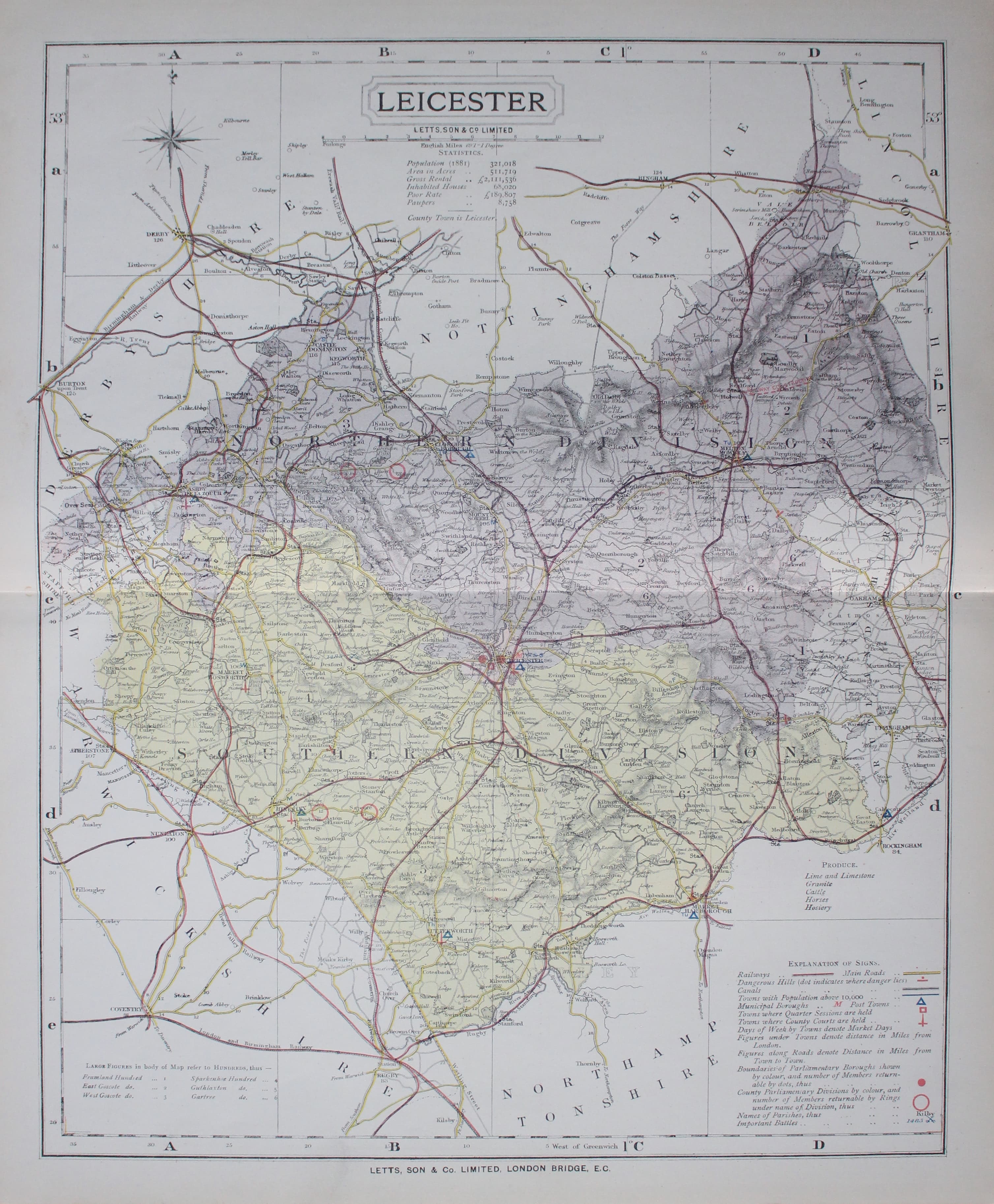
Map of Leicestershire by Thomas Letts
32974 Leicestershire, Thomas Letts, 1884. Price: 27.00
LEICESTER
A detailed chromolithograph map of the county. Explanation plus statistics concerning Population, Area, Inhabited Houses, Poor Rate and Paupers. 12 1/2 x 15 1/2 inches. Original centre fold. Imprint of Letts & Son beneath. Fine clean condition. Straight from the atlas so never previously been sold as a single map.
From: Lett’s Popular County Atlas

19th Century
-

Map of Leicestershire by Lt. R. K. Dawson 1832
33052 Leicestershire, Lt. Robert Kearely Dawson. 1832. Price: 14.00
LEICESTERSHIRE A simple lithograph map of the county divided into hundreds and showing the Principal Places of County Election and Polling Places. Compass pointer and explanation. About 10 x 9 inches plus large blank margins. Original hand colouring. Two original vertical folds. Split it the bottom of the right hand fold that does not reach the engraved area.
From: Plans of the Cities and Boroughs of England and Wales.

17th Century Map - Very Specal Price
-
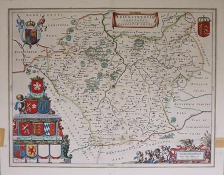
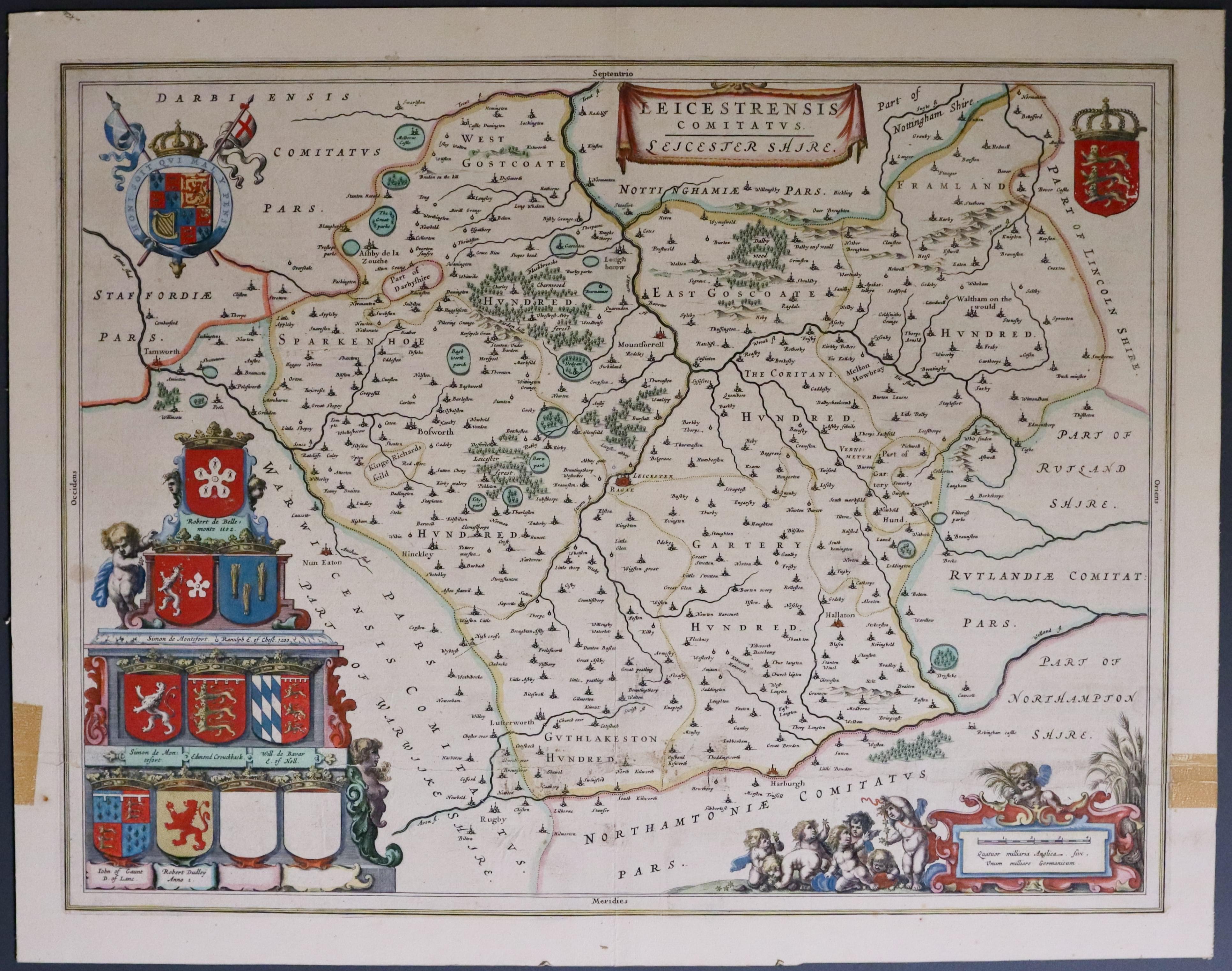
Leicestershire, joan Blaeu c.1650
33436 Leicestershire, Joan Blaeu c.1650. Price: 42.00
LEICESTRENSIS COMITATIS. LEICESTERSHIRE
An engraved 17th century map of the county. The title is shown on a banner. A plinth displays an array of eight coats of arms of the nobility plus two blank shields. Scale cartouche with putti. Royal Arms and the Arms of England. 19 3/4 x 15 inches. Early hand colouring. This map has been laid down on thin card n the past. There are tape stains in the left and right blank margins. Where the right hand tape stain is there is slight evidence of an old single tear that extends 7 inches into the map area. This map is therefore being offered at a fraction of what a good specimen would be. I would suggest putting the map into a sunk mount that comes up to the neat line of the map thus hides the two brown stains. Once framed no one will probably know. But it will never be a worthless reproduction.
18th Century - First Edition
-
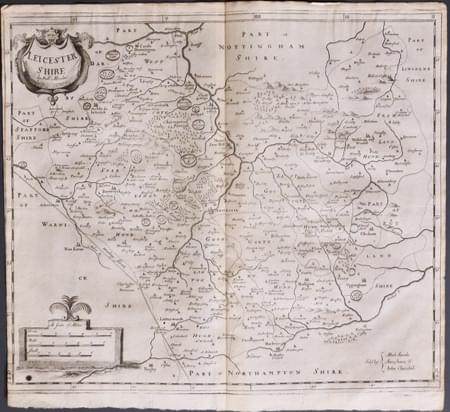
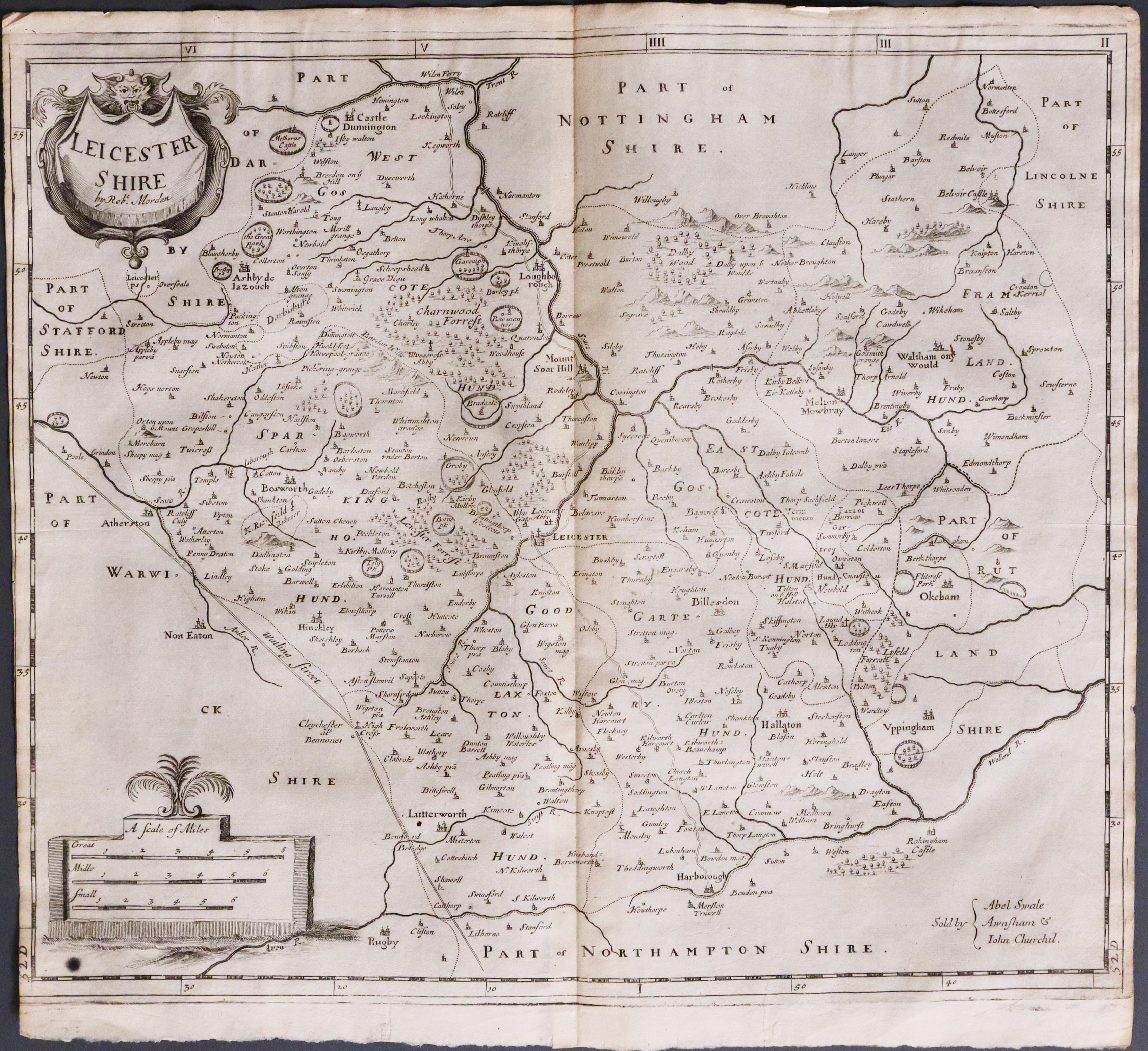
Leicestershire, Robert Morden 1695
33499 Leicestershire, Robert Morden 1695. Price: 48.00
LEICESTERSHIRE BY ROBT. MORDEN
The FIRST EDITION of this good engraved map of the county embellished with decorative title and scale cartouches. 16 x 14 inches, 420 x 358 mm. Original centre fold. A nice dark impression Uncoloured. Some trimming to the the left hand side printed border. This is fairly common with the first edition of the map. Small old black spot beneath the title cartouche. Otherwise good condition. This map has been taken straight from the atlas and therefore not previously offered for sale as a single map. One of the first maps of the county to show the main coach roads following Ogilby’s survey some 20 years earlier.
From: Camden's Britannia
