Antique Maps of Norfolk
Richard Nicholson of Chester
A World of Antique Maps and Prints
Established in 1961
All the Maps on this page are guaranteed to be genuine early specimens
published in or around the year stated
19th Century - Road Map
-
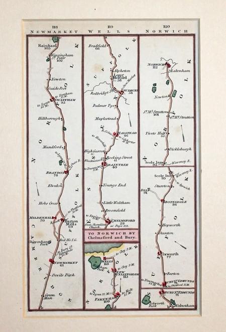
Road map Newmarket to Wells and Chelmsford to Norwich, Charles Smith

02662 Road Map. Newmarket / Wells / Chelmsford / Norwich, Charles Smith, 1826. Price: 27.00
ROAD MAP, PLATE 118/119/120
A strip road map starting near Newmarket and continuing to Swaffham and Rainham and onto Fakenham and Wells. The second part starts at Chelmsford in Essex and then to Braintee, Long Melford, Bury St. Edmunds, Scole Inn and Norwich. 3 3/4 x 6 inches. Hand coloured. Plain on verso. In a 2 1/2 inch ivory tint sunk mount. Good clean condition.
18th Century - Road Map
-
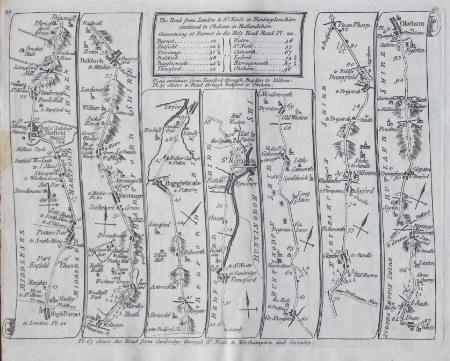
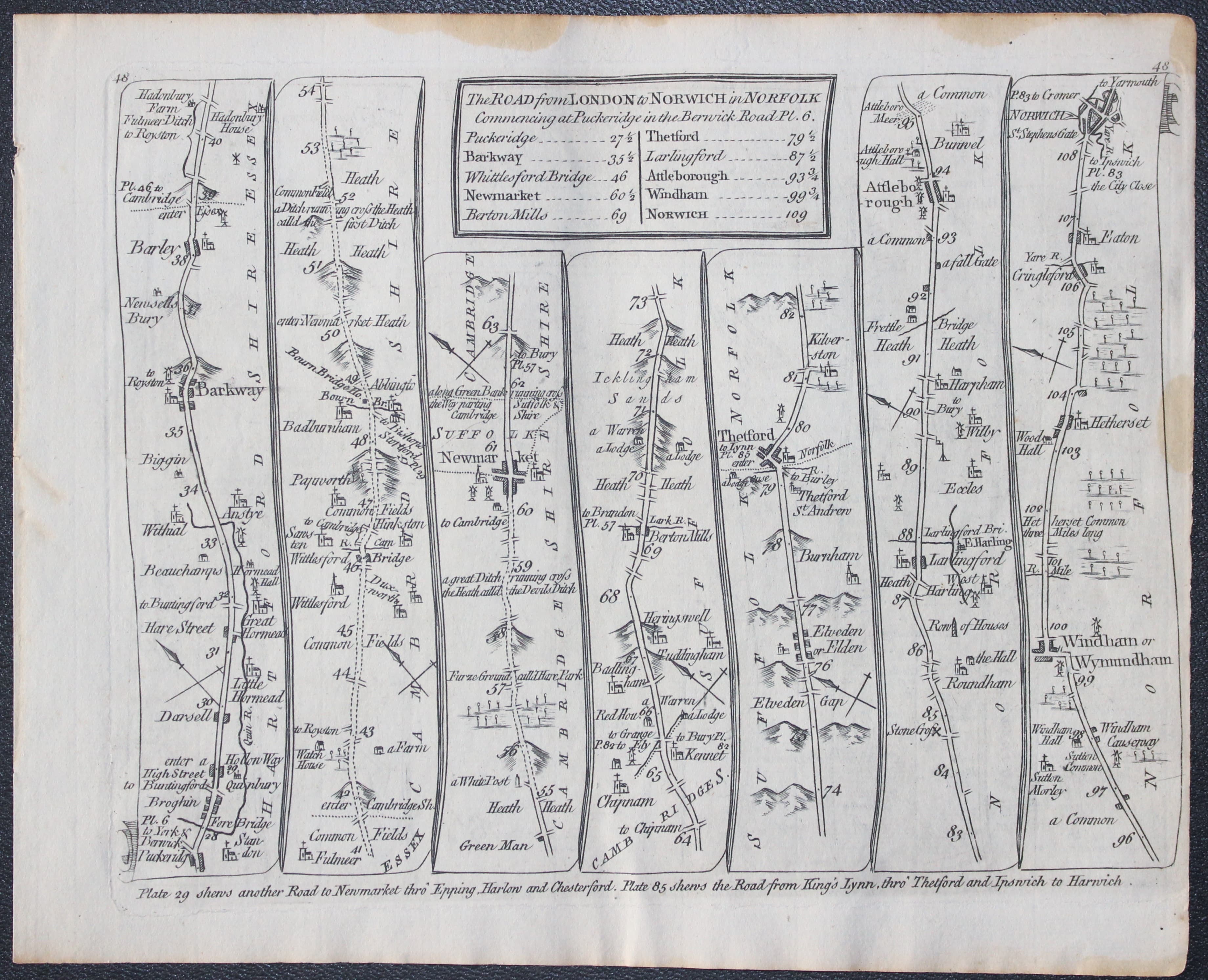
Road map Puckeridge to Norwich, Thomas Kitchin 1767
-

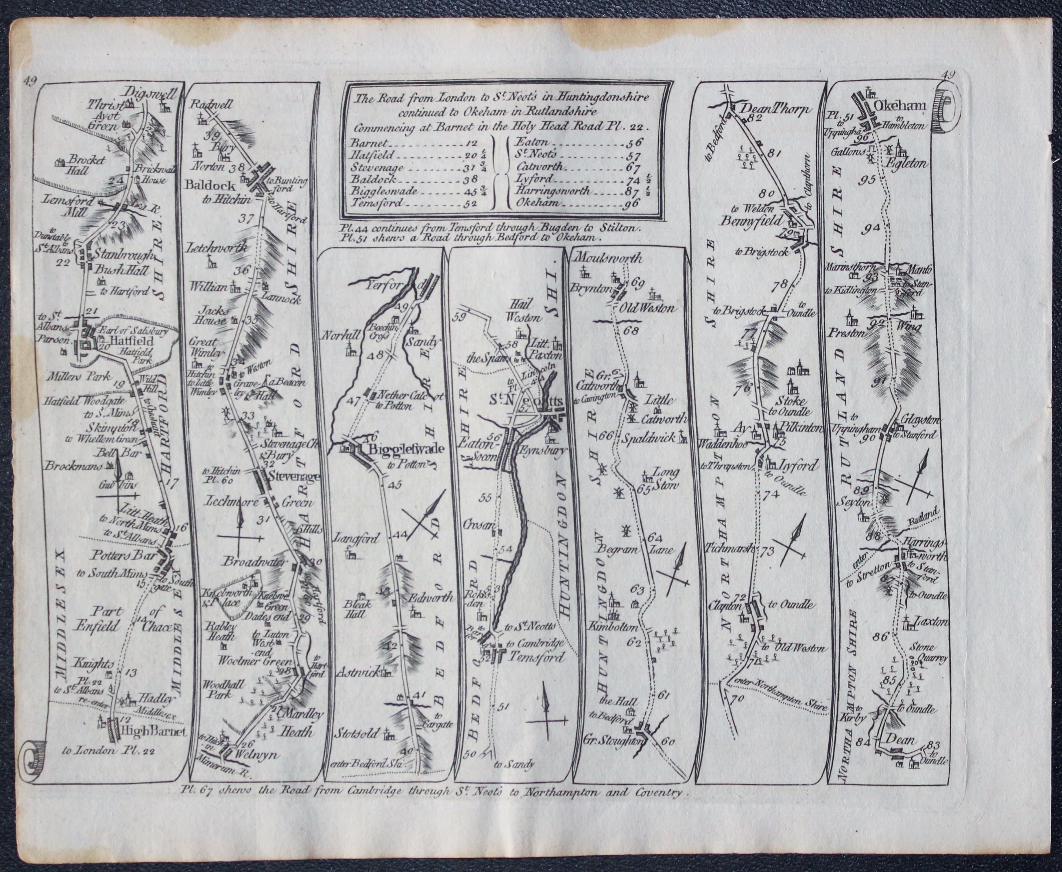
Road map High Barnet to Oakham, Thomas Kitchin 1767

27073 Road Map 48 /49, Thomas Kitchin 1767. Price: 28.00
THE ROAD FROM LONDON TO NORWICH IN NORFOLK. Barkway, Newmarket, Thetford ,Attleborough, Norwich. THE ROAD FROM LONDON TO ST. NEOTS IN HUNTINGDONSHIRE. High Barnet, Hatfield, Baldock, St. Neots, Oakham
A double sided engraved road map. 8 x 6 inches. Some brown stains on the outer edges of margins otherwise good condition. Uncoloured.
From: Kitchin’s Post-Chaise Companion through England and Wales.
18th Century - Road Map
-

Road from Oakham to Richmond, Thomas Kitchin 1767
-
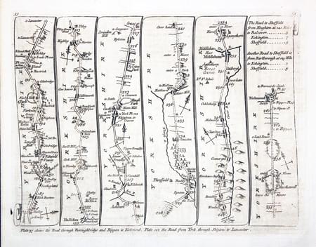
Road from Huddersfield to Richmond, Thomas Kitchin 1767

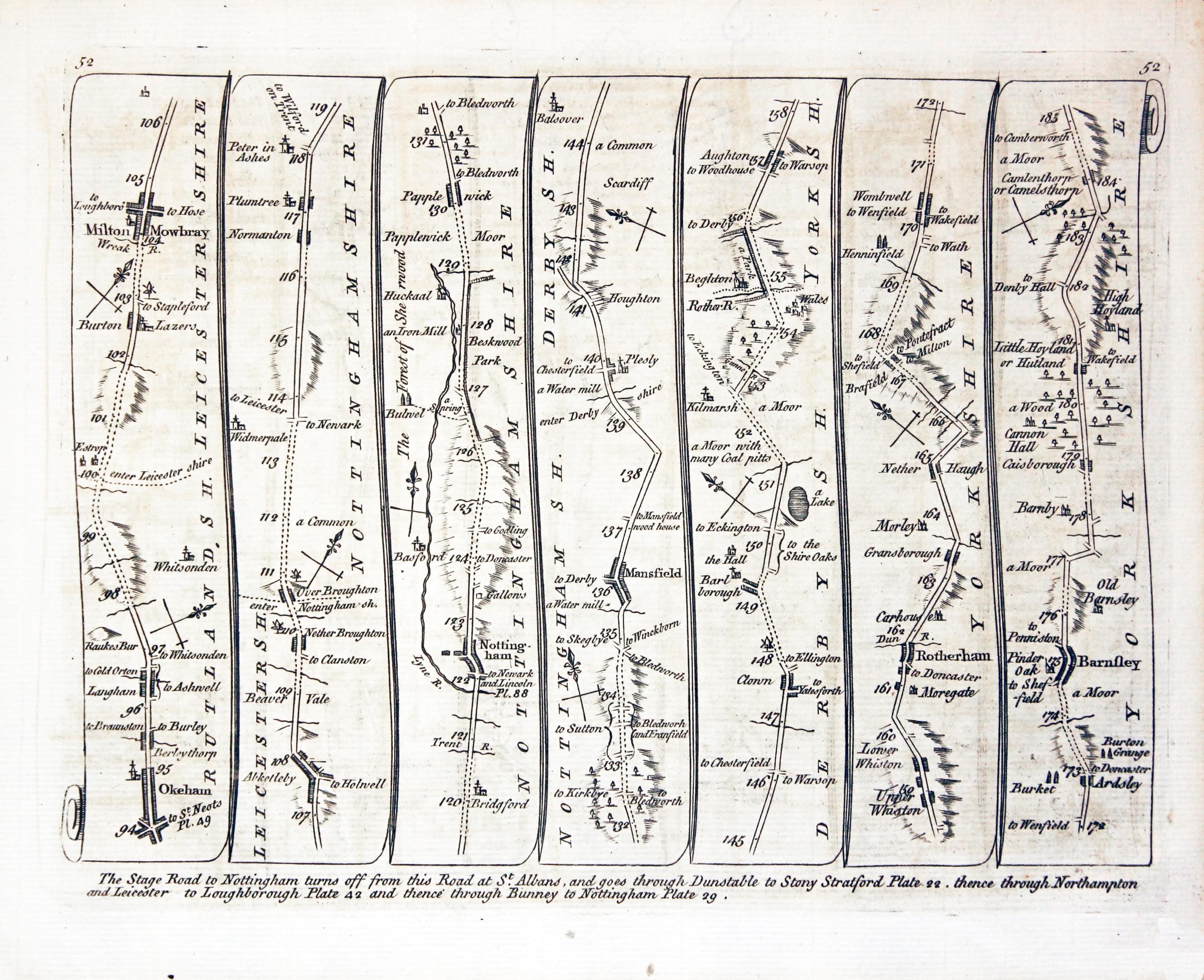
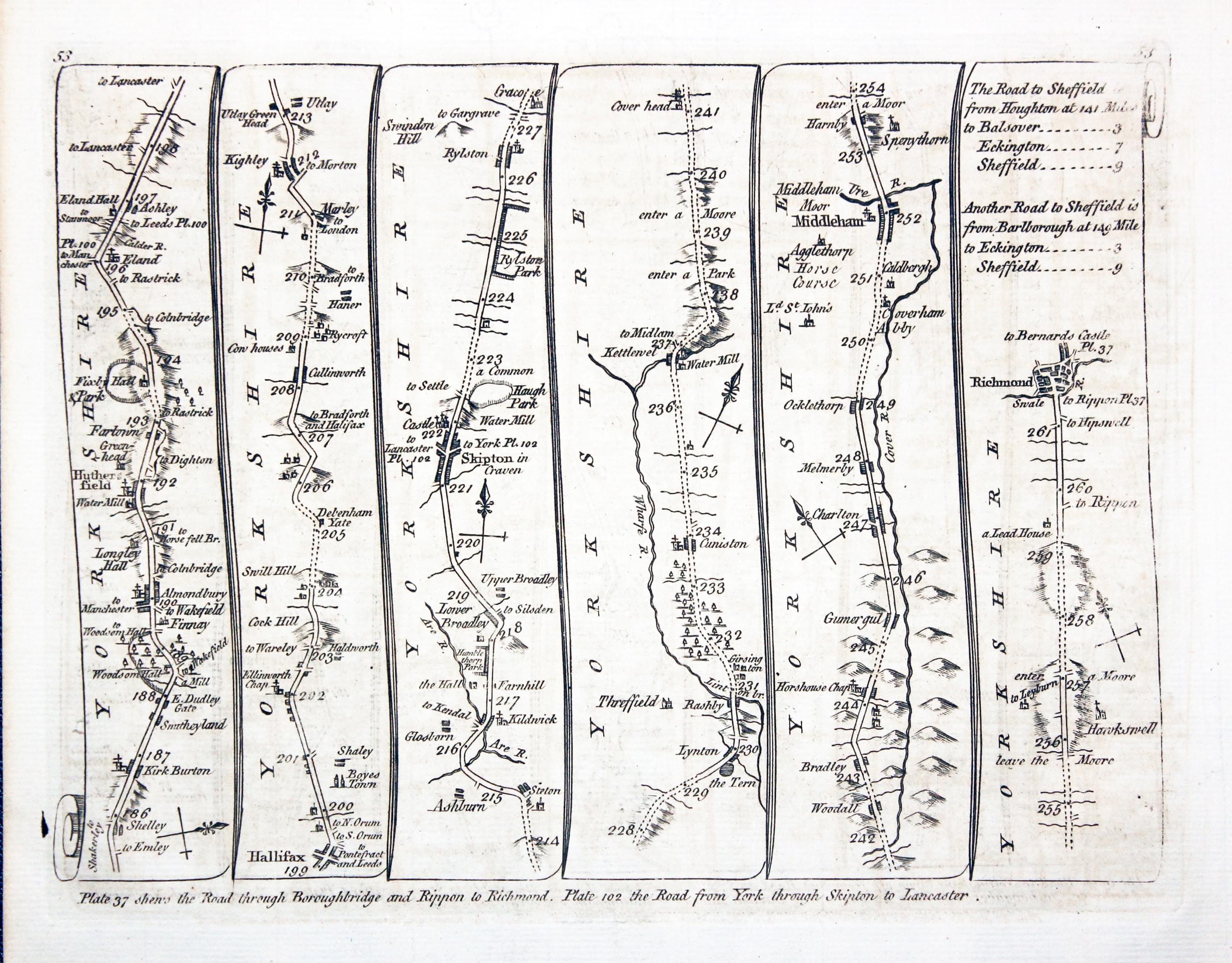
28040 Plate 52/53, Thomas Kitchin, 1767. Price: 45.00
52. Untitled
Oakham, Melton Mowbray, Nottingham, Mansfield, Rotherham, Barnsley
53. Untitled
Huddersfield, Halifax, Skipton, Middleham, Richmond
A double sided road map. 7 1/2 x 6 inches. Six panels showing the route. Uncoloured. Fine condition.
From: Kitchin's Post-Chaise Companion through England and Wales
18th Century - Road Map
-

Chelmsford to Maldon. Brentford to Wickford. Carington Bowles, 1785
-

Chelmsford to Maldon. Brentford to Wickford. Carington Bowles, 1785

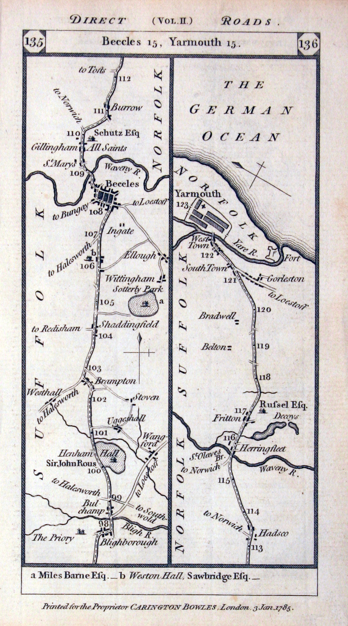
28163 Chelmsford to Maldon. Brentford to Wickford. Carington Bowles, 1785. Price: 23.00
Road Map. Plate 135/136/137/138
An engraved double sided strip road map. Starting at Blithborough and going north to Beccles and ending at Yarmouth. On the reverse side the route starts at Chelmsford and goes to Maldon. A second strip starts at Brentwood and goes east to Billericay and Wickford. 3 1/4 x 6 1/4 inches. Uncoloured. Good condition.
From: Paterson’s British Itinerary
Provenance: From the Library of John Hobson Matthews
-

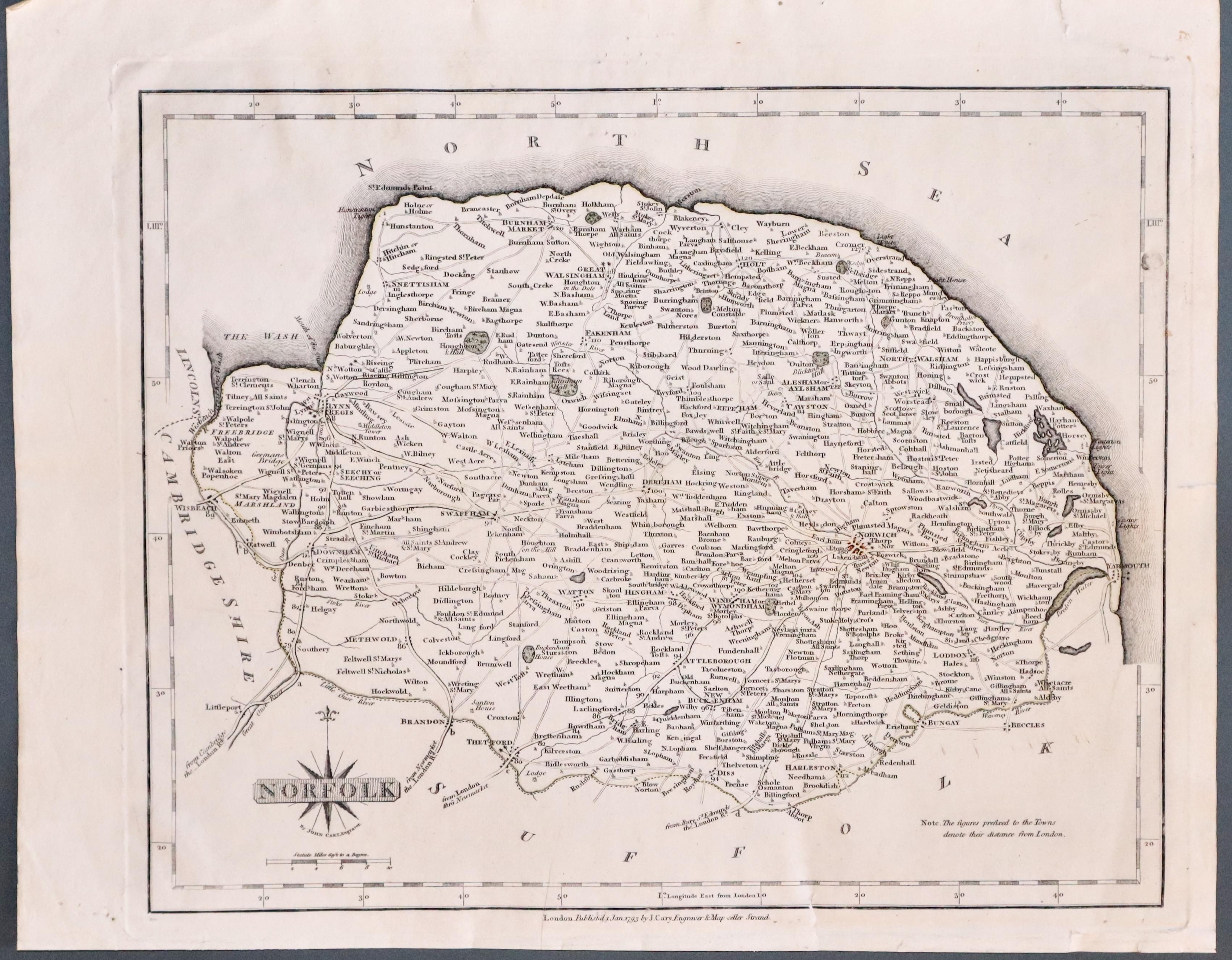
Norfolk, John Cary 1793

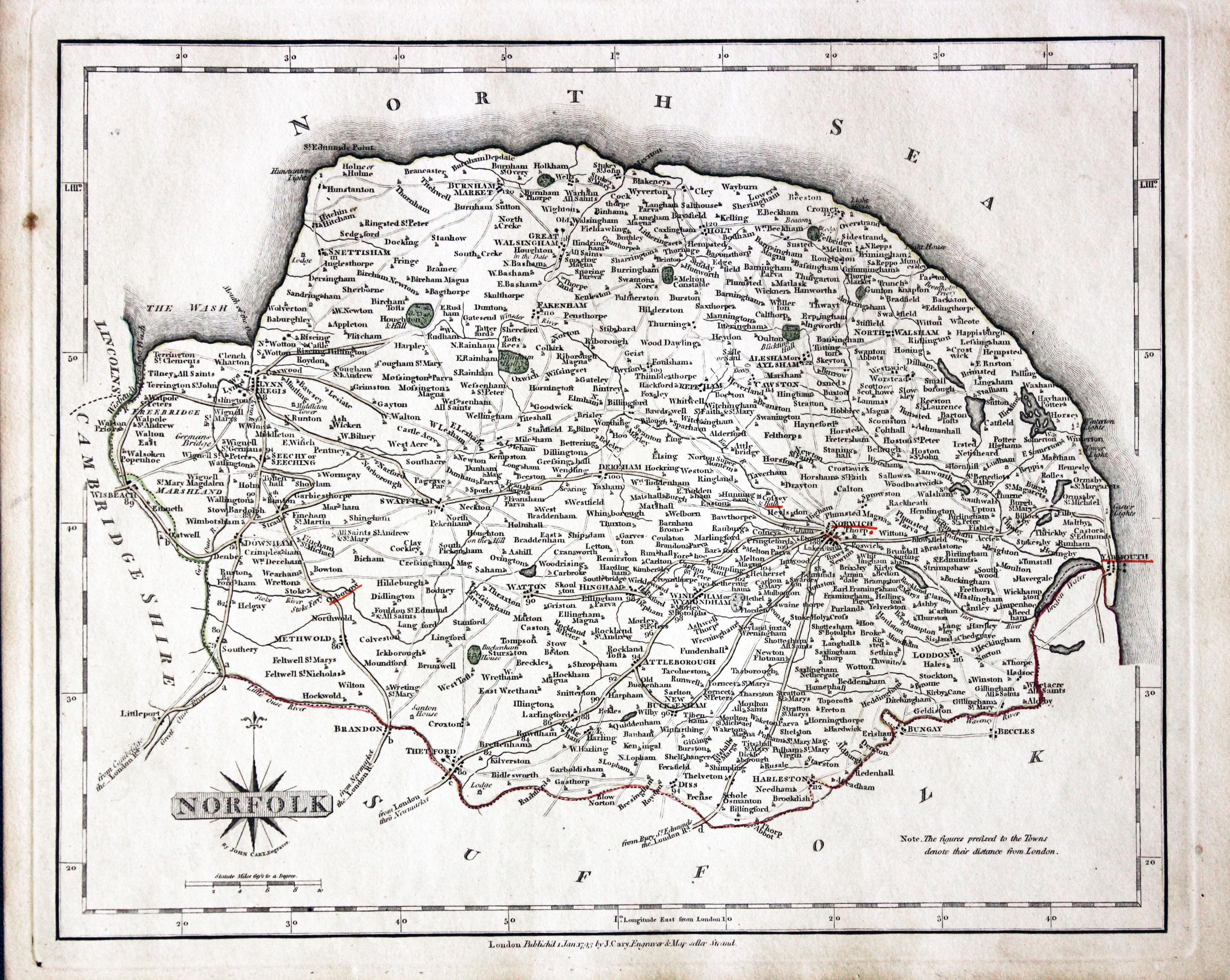
30874 Norfolk, John Cary 1793. Price: 58.00
NORFOLK
A detailed and well engraved map of the county with original outline hand colouring. 10 x 8 inches. Publisher's imprint beneath dated 1793. Original outline hand colouring. Some of the town names are underlined in red. With the original page of descriptive text.
From: Cary's New and Correct English Atlas
The places underlined in red ink are those in which a Catholic mission has been established between the era of the Reformation and the year 1840
John Hobson Matthews (1858 - 1914) Born in Croydon in 1858. Educated at schools at Blackheath and Cambridge. Worked for a shipping firm in Malta. A good linguist he was a Roman Catholic historian, archivist and solicitor. You will find more details about him here in the Dictionary of Welsh Biography.
19th Century - Early Hand Colouring
-
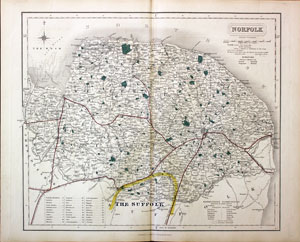
Norfolk, William Colling Hobson, 1851

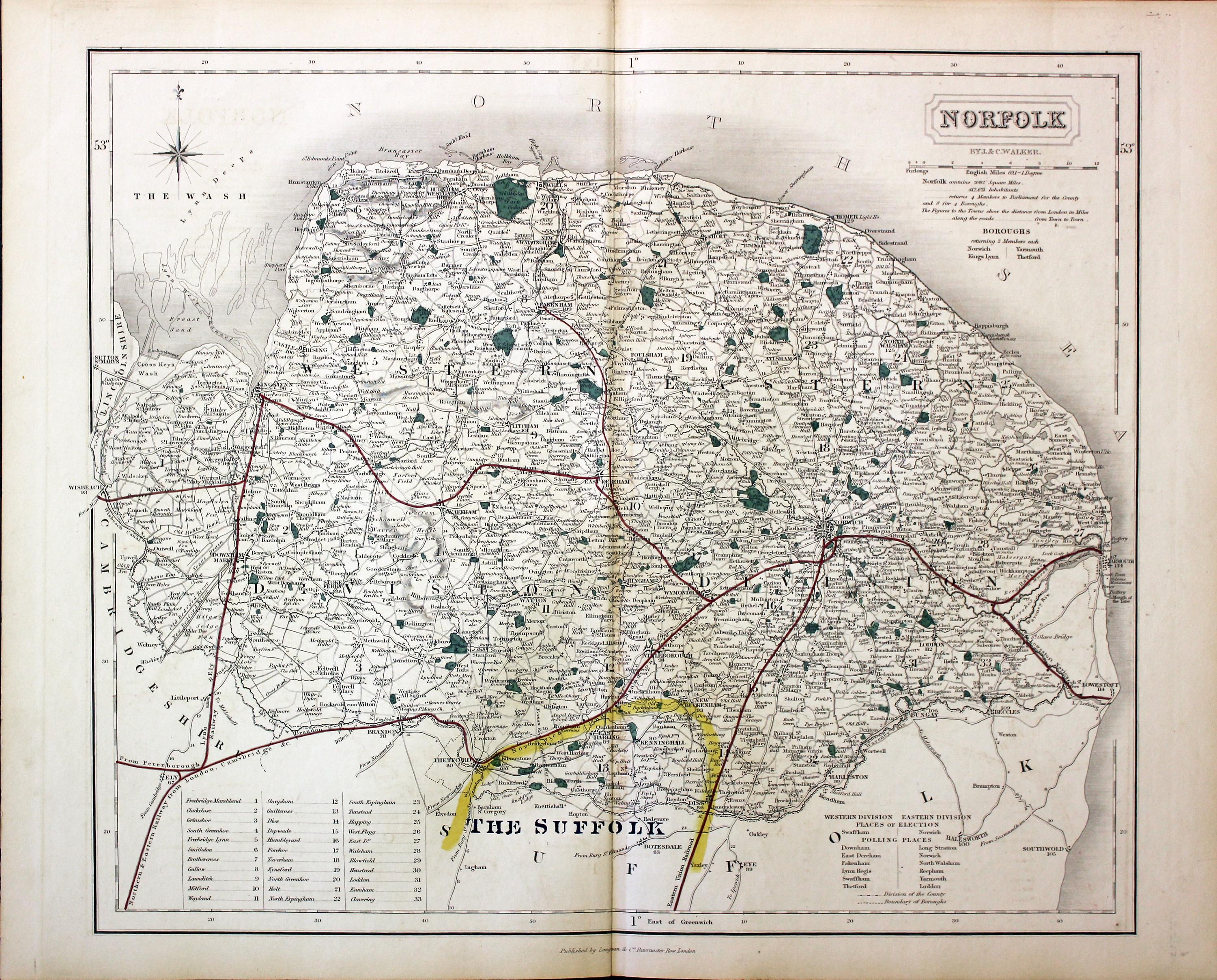
31053 Norfolk, John & Charles Walker, c.1851. Price: 46.00
NORFOLK
A good detailed engraved map of the county including the railways. Title panel with the names of J. & C. Walker beneath. Scale and explanation. Original outline and wash hand colouring. Imprint of Longman, Rees, Orme, Browne & Co. Paternoster Row beneath. 15 x 12 3/4 inches. Good condition. This map has been taken from the atlas and not been offered before as a single map.
From: Hobson’s Fox Hunting Atlas
Late 19th Century - Town Plan
-

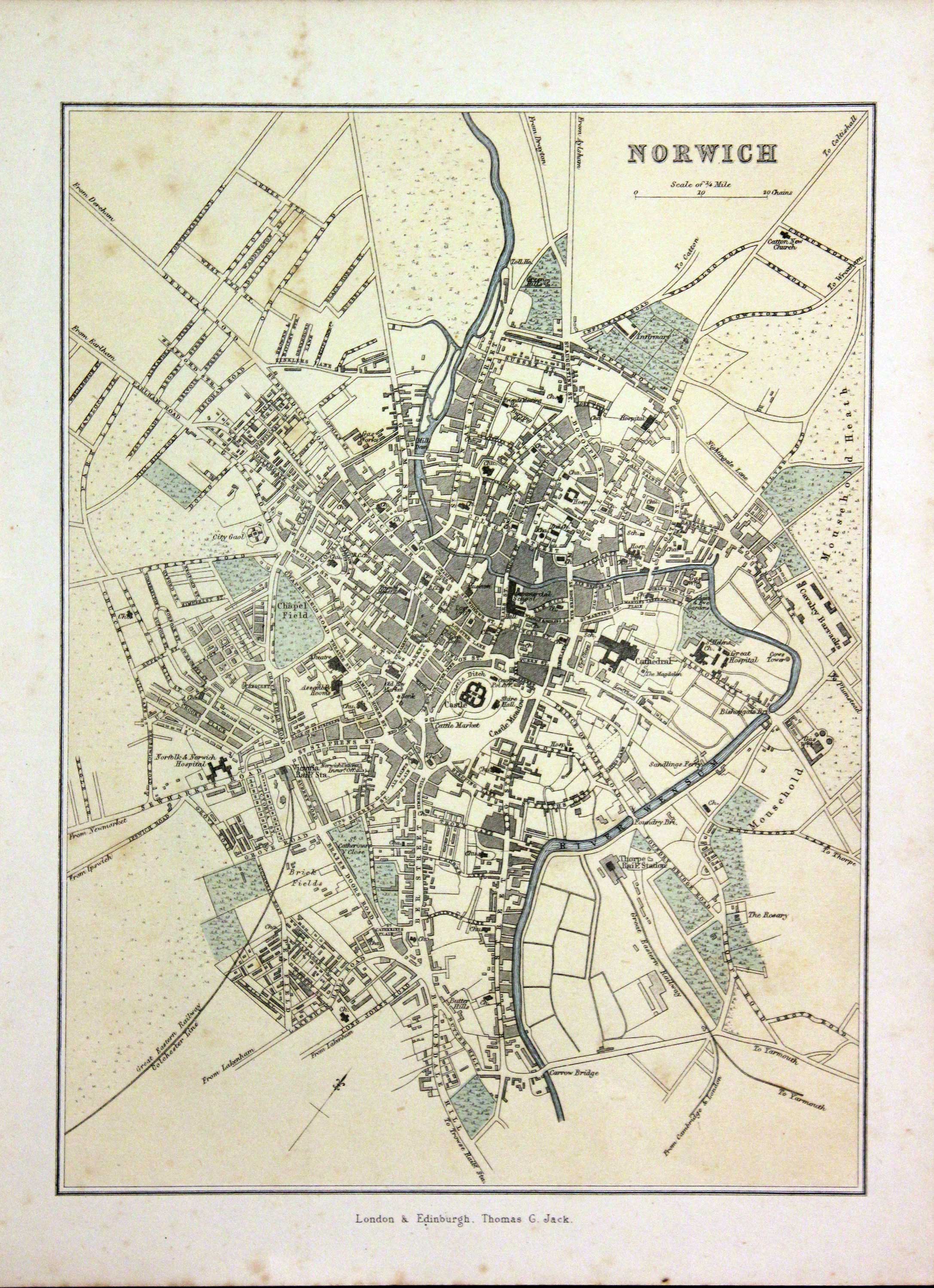
Norwich, Thomas G. Jack c.1895

31126 Norwich, Thomas G. Jack, c.1895. Price: 12.00
NORWICH
A colour printed town plan. Imprint of the publisher Thomas G. Jack below. London & Edinburgh. 6 1/2 x 9 inches. Few light fox marks in top blank margin, otherwise good condition.
18th Century - County and Road Map
-

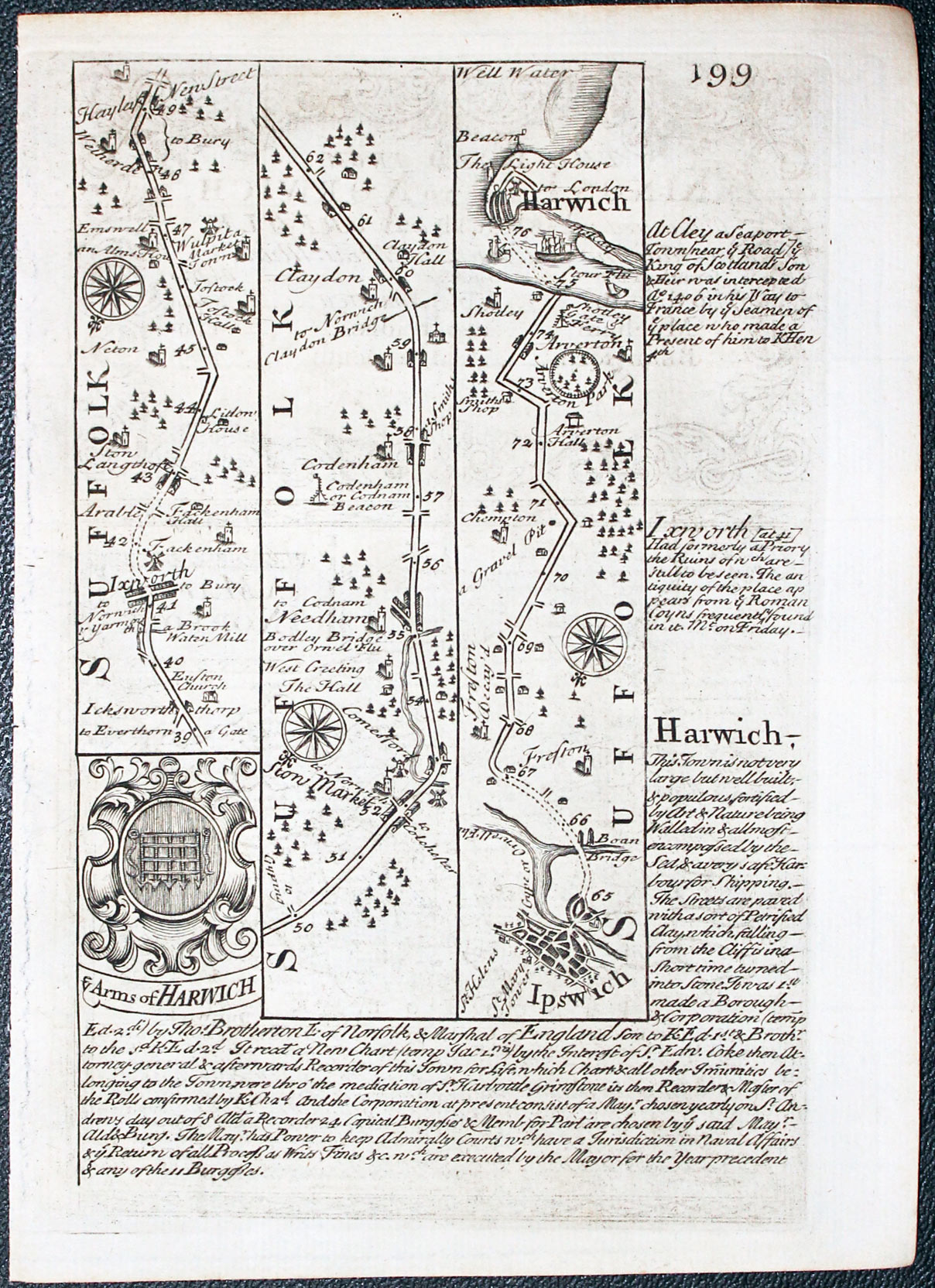
Road Map from Ixworth in Suffolk to Harwich by John Owen and Emanuel Bowen, 1753
-
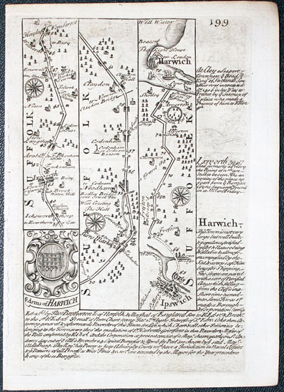
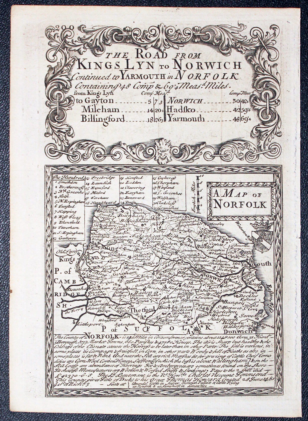
Map of Norfolk by John Owen and Emanuel Bowen, 1753
32467 Norfolk, John Owen and Emanuel Bowem 1753. Price: 46.00
A MAP OF NORFOLK
An engraved county map with title panel, coat of arms and list of hundreds. Beneath the map is a panel with a description of Norfolk. The map is surmounted by a baroque cartouche titled The Road from Kings Lyn to Norwich. Strip road map on verso showing the route from Ixworth in Suffolk to Harwich, embellished with coat of arms and engraved notes. 4 x 7 1/4 inches. Uncoloured. Good condition. This map has been taken straight from the atlas and there not previously been sold as a single map.
From: Britannia Depictaicta


PROVENANCE
At some time part of the Townsend Family library
Early 17th Century
-

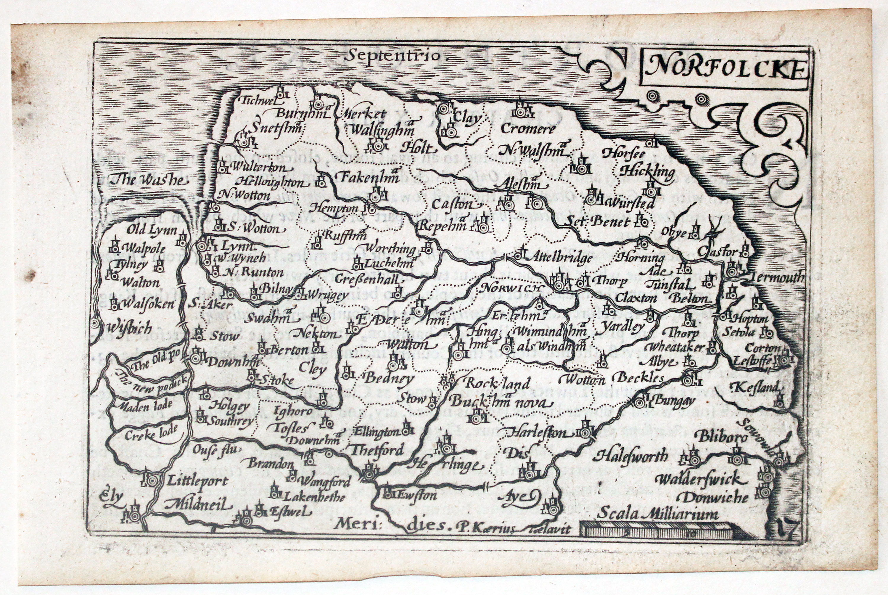
Norfolk by Pieter van den Keere, c.1627
-
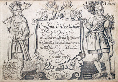
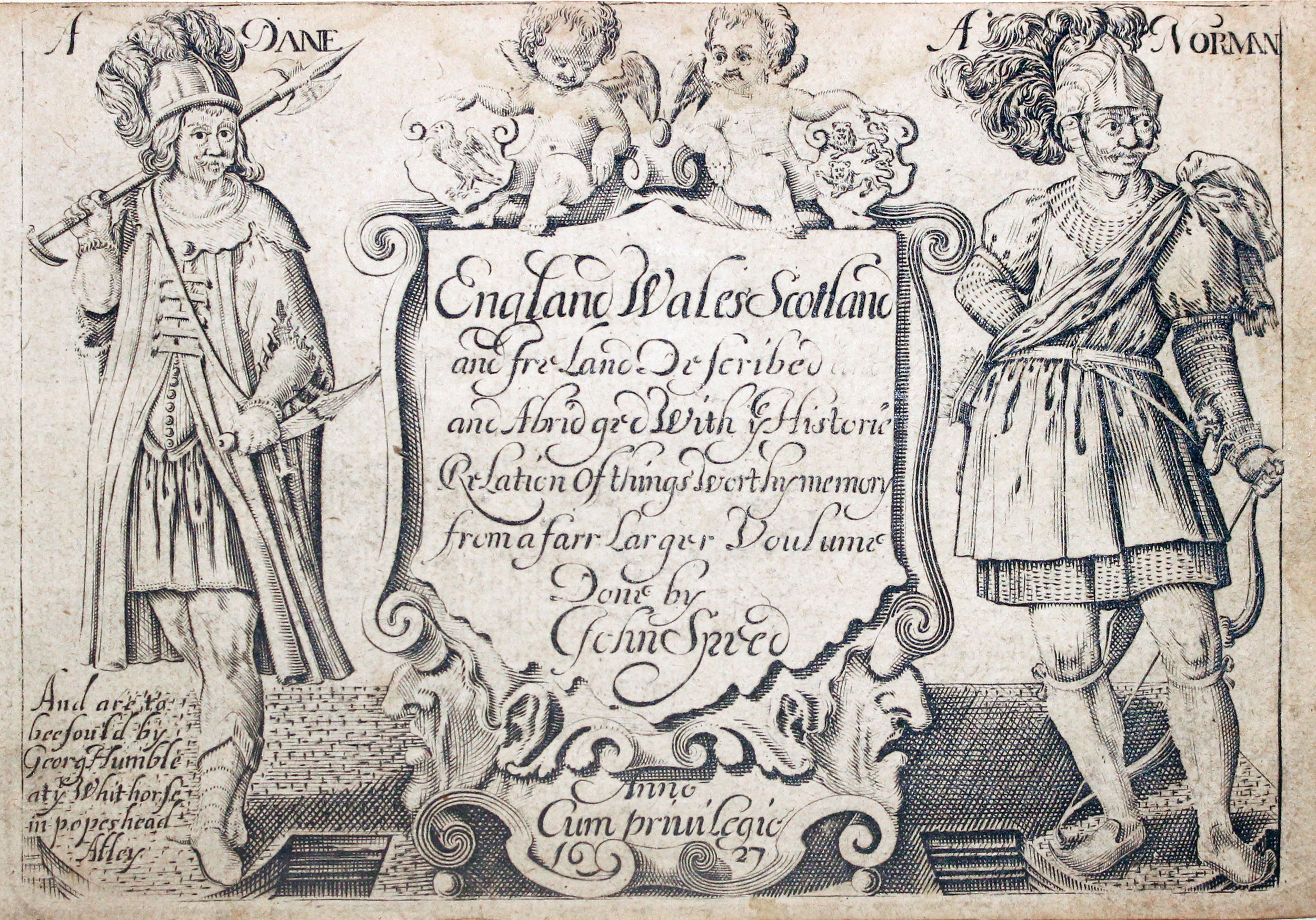
Pieter van den Keere Atlas Titlepage, c.1627

32631 Norfolk, Pieter van den Keere, c.1627. Price: 68.00
NORFOLCKE
A early engraved miniature map of the county of Norfolk. Embellished with decorative cartouche which displays the title. Numbered 17. 4 3/4 x 3 1/4 inches. Printed slightly askew so there is some narrowing of the top and bottom margins. Start of a description of the county on verso in English. With the map are the two additional double sided pages of text that complete the description. The text ends "This Description of Northfolke, I received from the Right Worshipfull SIR HENRY SPELMAN Kinght". Straight from the atlas and not previously sold as a single map. The title page of the atlas is dated 1627
From England Wales Scotland and Ireland Described
18th Century
-
Norfolk by Pieter van den Keere, c.1627

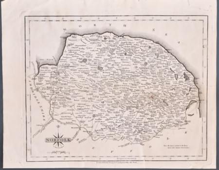
33349 Norfolk, John Cary. 1793. Price: 20.00
NORFOLK
A detailed and well engraved map of the county. Title panel and compass rose combined. Imprint of John Cary dated 1793. 10 1/4 x 8 1/4 inches. Uncoloured. Four small marginal tears. Some very light crinkling.
From: New and Correct English Atlas
SPECIAL PRICE
Very Nice Specimen
-

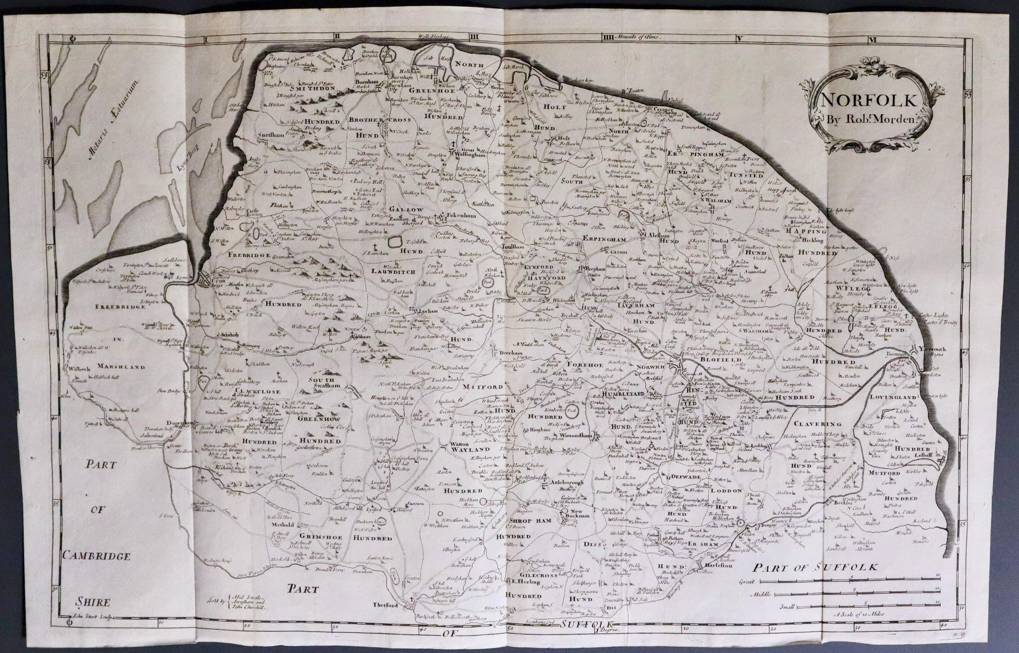
Norfolk, Robert Morden 1722
33495 Norfolk, Robert Morden 1722. Price: 160.00
NORFOLK BY ROBT. MORDEN
A good engraved map of the county divided into hundreds and showing the roads. Decorative title cartouche. Three scales. Imprint of the publishers Abel Swale with Awnsham and John Churchill. Original centre fold and two additional original folding creases. This map along with the map of Kent are much larger than the other maps in the atlas. This map was bound into a 1695 edition of Camden’s Britannia but I am guessing that it might have been bound in later to replace a missing map. Hence I have dated it as 1722. 22 x 14 inches, 575 x 370 mm. Uncoloured. A very nice and pleasing specimen in good clean condition.
From: Camden's Britannia
