Antique Maps of Northumberland
Richard Nicholson of Chester
A World of Antique Maps and Prints
Established in 1961
All the Maps on this page are guaranteed to be genuine early specimens
published in or around the year stated
17th Century
-

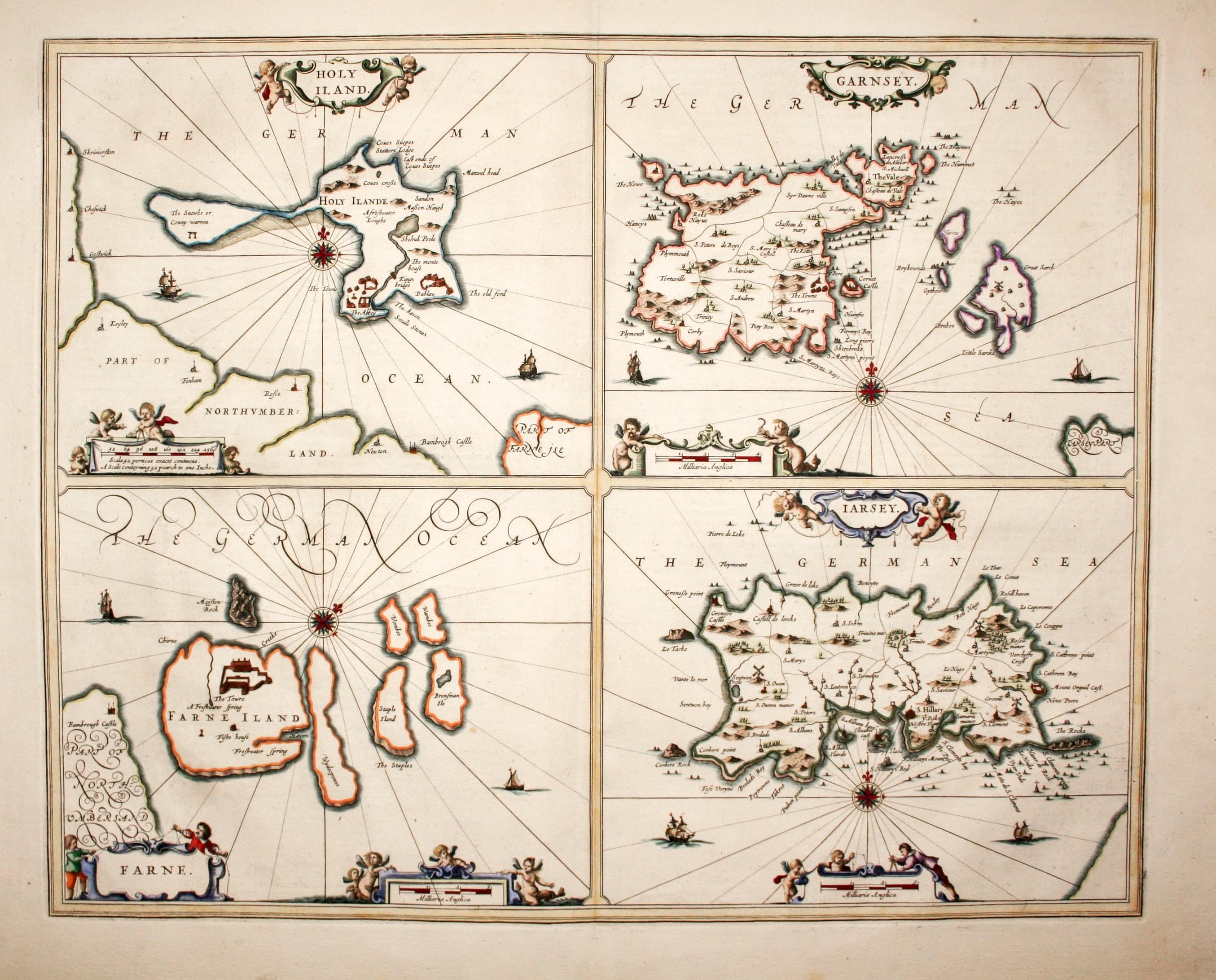
Map of Holy Island /Channel Islands, Jan Jansson 1659
14221 Holy Island /Channel Islands, Jan Jansson 1659. Price: 350.00
HOLY ILAND / FARNE / GARNSEY / JARSEY
Four engraved map on one folio sheet. Each map is embellished with a decorative title and scale cartouches with figures and putti. Compass roses and rhumb lines. 20 x 16 inches. Latin text on verso. Attractive hand colouring. Fine condition.
19th Century
-

Ports and Harbours East Coast of England, Archibald Fullaton 1862
31468 Ports and Harbours East Coast of England, Archibald Fullaton 1862. Price: 50.00
MOUTH OF THE RIVER TYNE, SUNDERLAND, HARTLEPOOL, WHITBY, SCARBOROUGH, GOOLE, HULL, GREAT GRIMSBY, HARWICH
Nine colour printed maps of varying sizes on one sheet. Together they measure 11 1/2 x 16 3/4 inches. Very sight trimming to the title above the map otherwise good condition.
From: The Royal Illustrated Atlas published by Archibald Fullarton and Company

18th Century - Early Hand Colouring
-
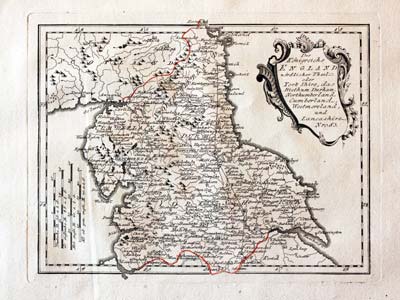
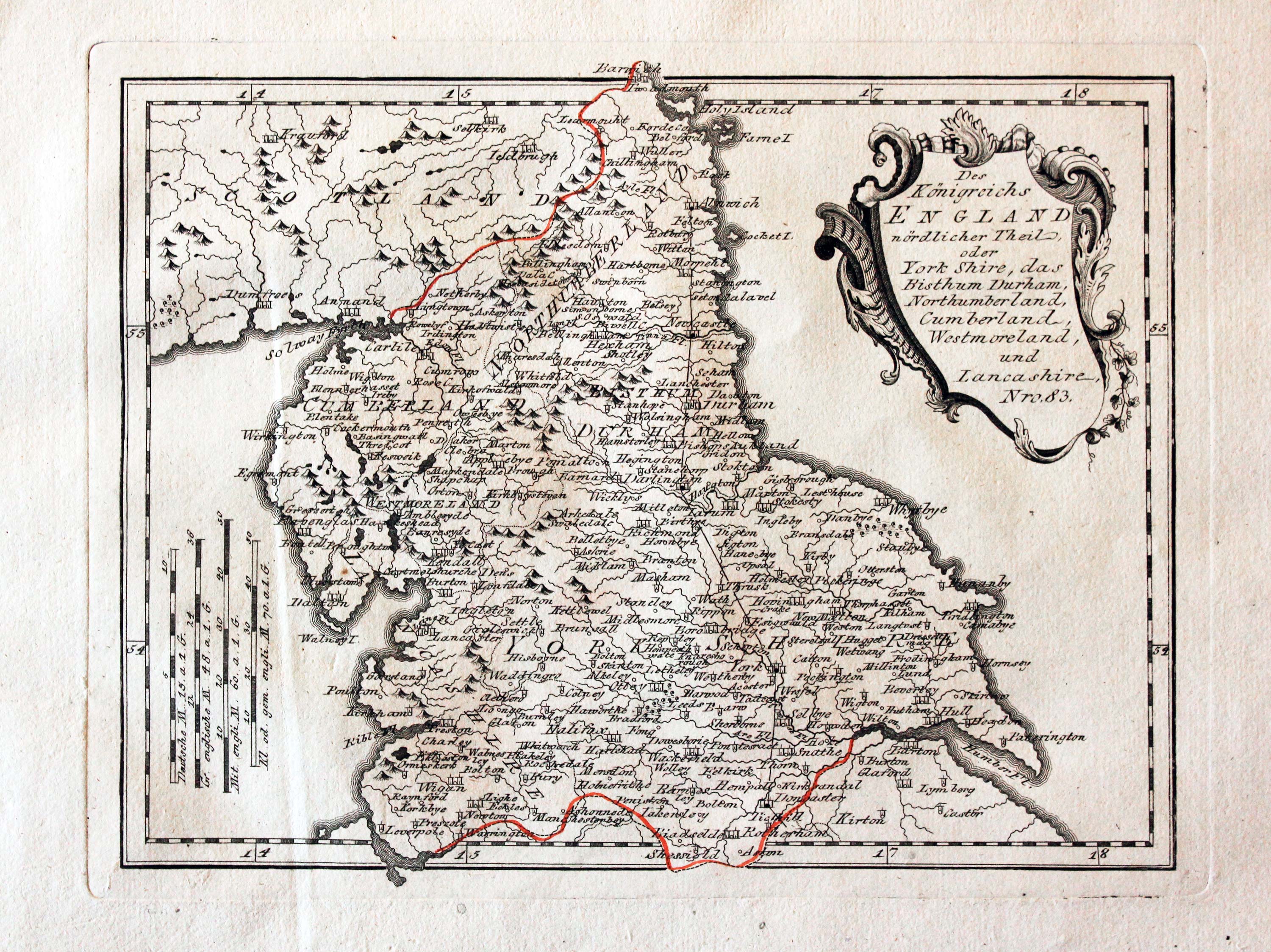
Map of Northern England, von Reilly 1789

24041 Northern England, Franz Joseph von Reilly, 1789. Price: 68.00
Des Konigreichs ENGLAND nordlicker Theil oder York Shire, das Bithum Durham, Northumberland, Cumerland, Westmoreland, und Lancashire. Nro. 83
An engraved map of northern England embellished with a decorative uncoloured title cartouche. 10 3/4 x 8 1/4 inches. Early wash hand colouring. Slight vertical crease on the left hand side otherwise good condition.
From: Schauplatz der funf Theile der Welt
17th Century - Famous Mapmaker
-
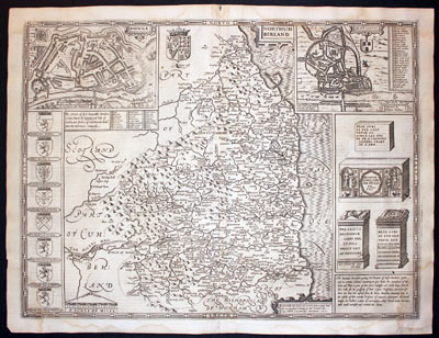
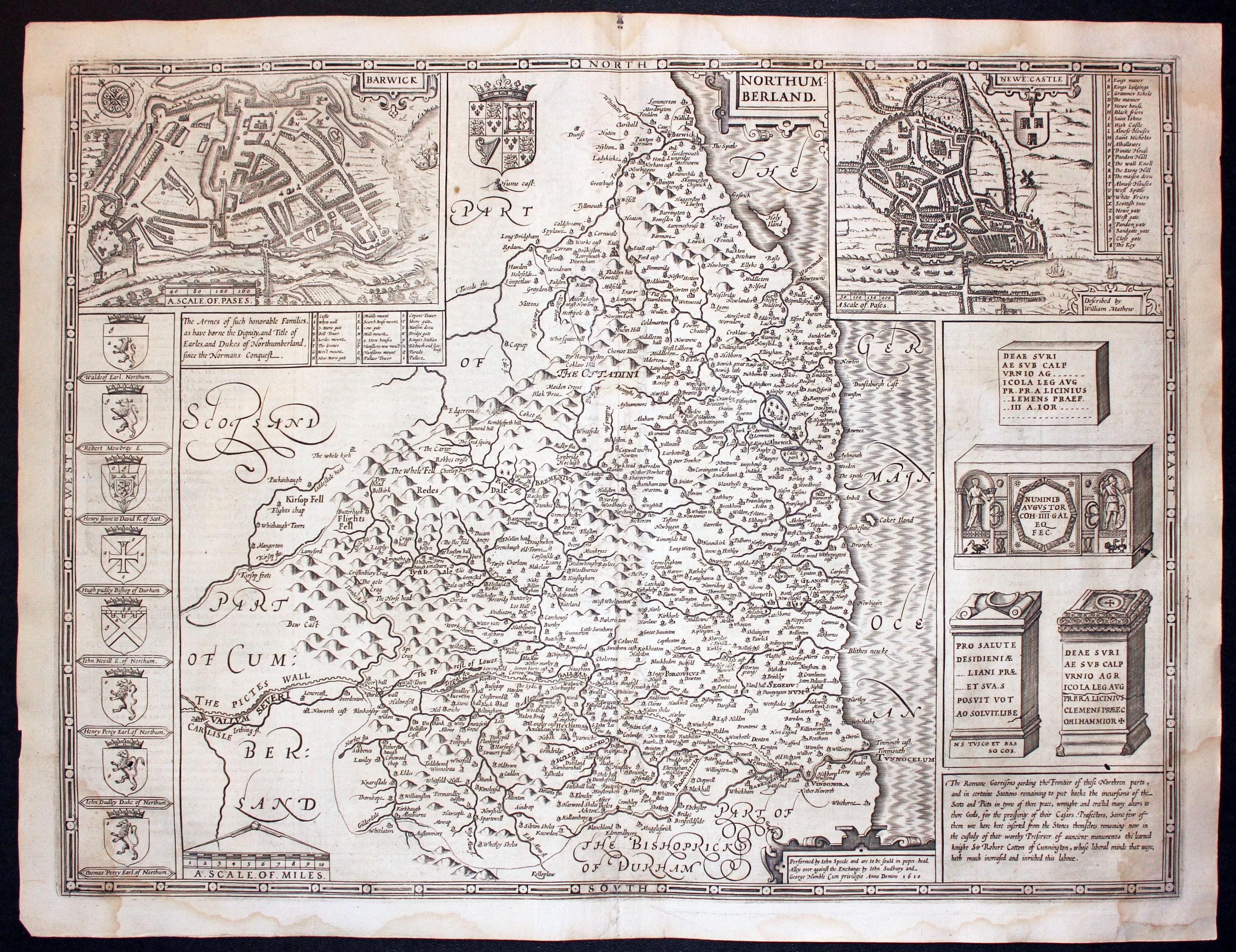
Northumberland by John Speed, 1646
-

Text on verso of Northumberland by John Speed, 1646

32505 Northumberland, John Speed, 1646. Price: 400.00
NORTHUMBERLAND
A 17th century engraved map of the county embellished with ta small strapwork title cartouche. The map is embellished with two inset town plans of Berwick on Tweed and Newcastle by William Mathew. Down the left hand side is a panel displaying eight coats of arms of the Earls and Dukes of Northumberland. The Royal Arms appears at the top of the map in a blank area. On the opposite side is a panel with engravings of Roman antiquities fund in the county. Scale with pair of divers. Panel bearing the name of John Speed and the publishers John Sudbury and George Humble dated 1610. Descriptive English text on verso with a list of towns and villages. 20 x 15 inches. Uncoloured. Repair to bottom right hand blank margin corner. Some thinning of paper on the left hand side of the original centre fold. A pair of single worm holes, one in the arms of John Dudley Duke of Northumberland the the other in a border showing the antiquities. Only noticeable on holding the map up to the light is a faint split in the key to the plan of Berwick with no loss of engraved area. Some light water staining in the bottom left and right corners and in the bottom blank margin. Original centre fold with no splits. This map has just been taken from he atlas and therefore not been sold previously as a single map.
From: The Theatre of he Empire of Great Britaine
Late 18th Century - Early Hand Colouring
-

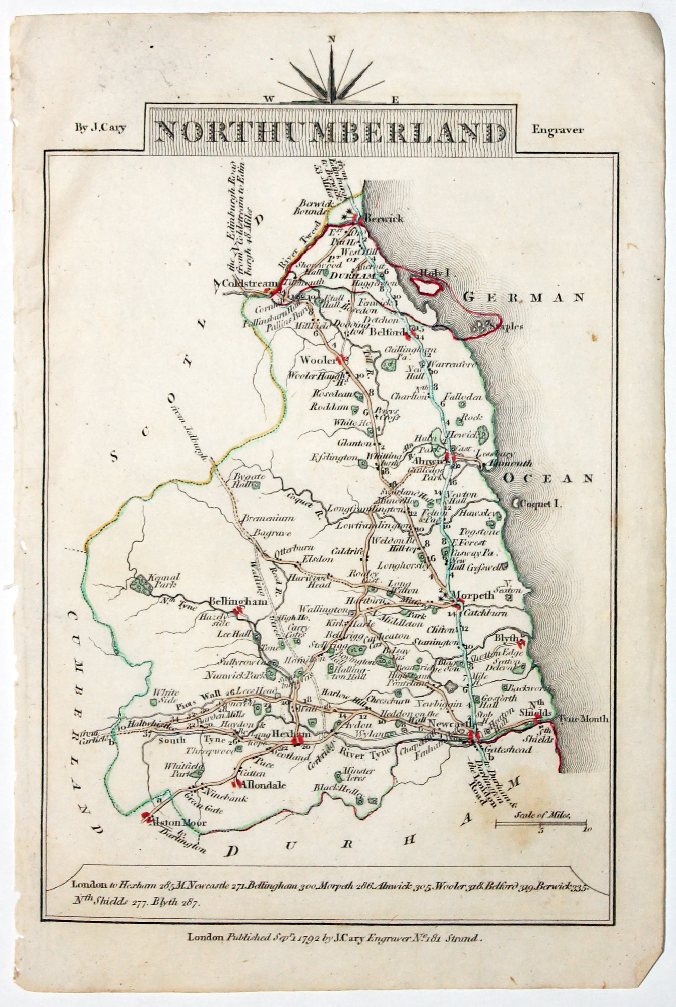
Map of Northumberland, John Cary 1792
32555 Northumberland, John Cary, 1792. Price: 18.00
NORTHUMBERLAND
A small engraved map of the county. Tile panel surmounted by half compass rose. Panel at bottom with list of distances from London. Publisher’s imprint beneath dated 1792. 3 1/2 x 4 3/4 inches. Thin paper. Original outline hand colouring. Good condition.
From: Cary’s Traveller’s Companion
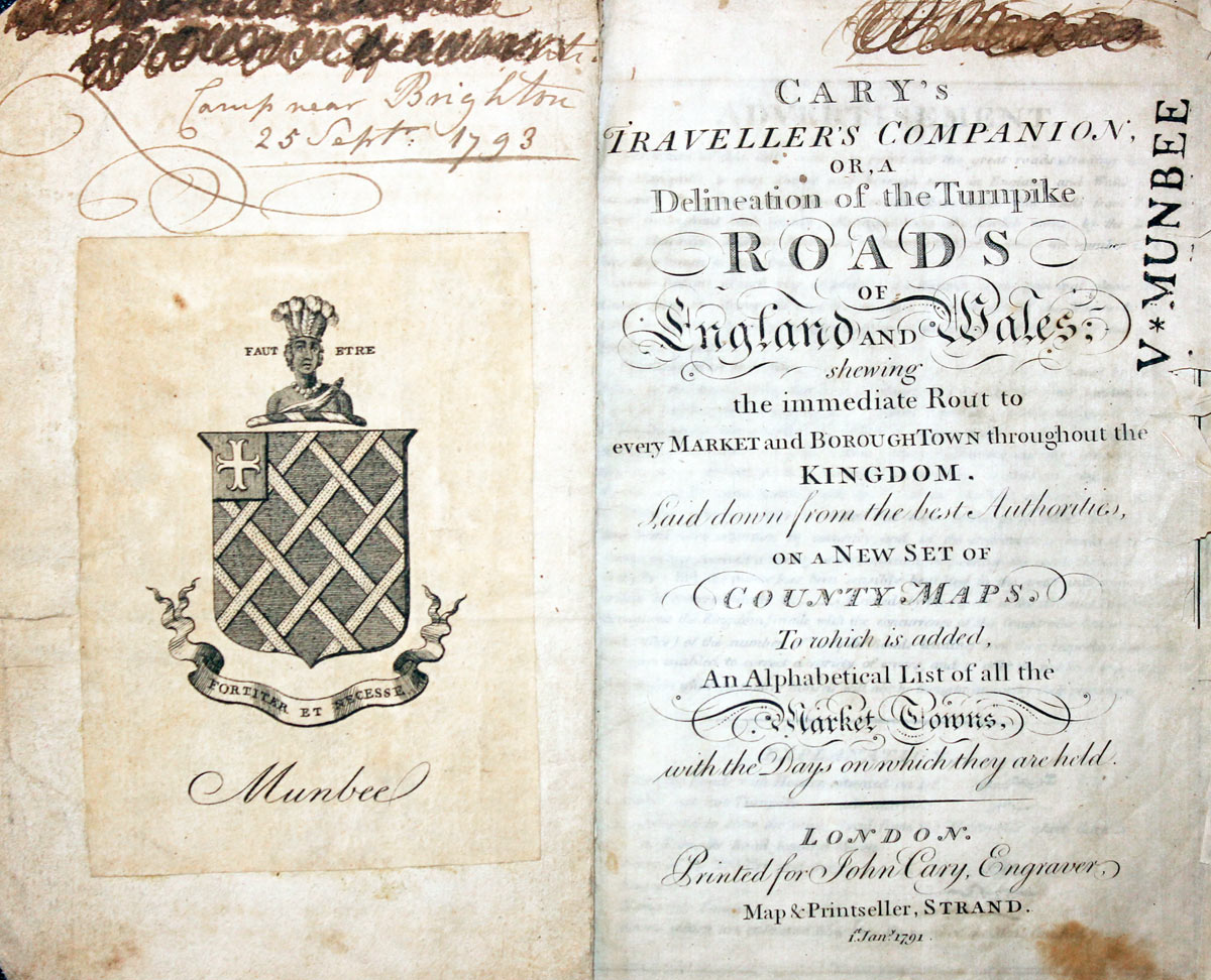
Title page dated 1791, maps dated 1792. The atlas was formerly in the Mumbee family library - title page stamped V. Munbee
Provenance
-
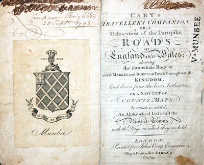
Cary Titlepage and Munbee Bookplate

Early 17th Century
-

Map of Northumberland by Pieter van den Keere, c.1627

32655 Northumberland, Pieter van den Keere, c.1627. Price: 45.00
NORTHUMBERLAND
A early engraved miniature map of the county. A strapwork cartouche displays the title whilst the scale is in a separate panel. Numbered 41. 4 3/4 x 3 1/4 inches. Two small worm holes in the lower right hand blank margin. Tapering blank margin across the top of the map. On verso is the end part of a description of Northumberland in English. With this map are two following original double sided pages of text that continue the description. The final part of the description appears on verso of the map of the Isle of Man. Straight from the atlas and not previously sold as a single map. The title page of the atlas is dated 1627
From England Wales Scotland and Ireland Described
Late 19th Century - Shows Railways
-
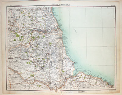
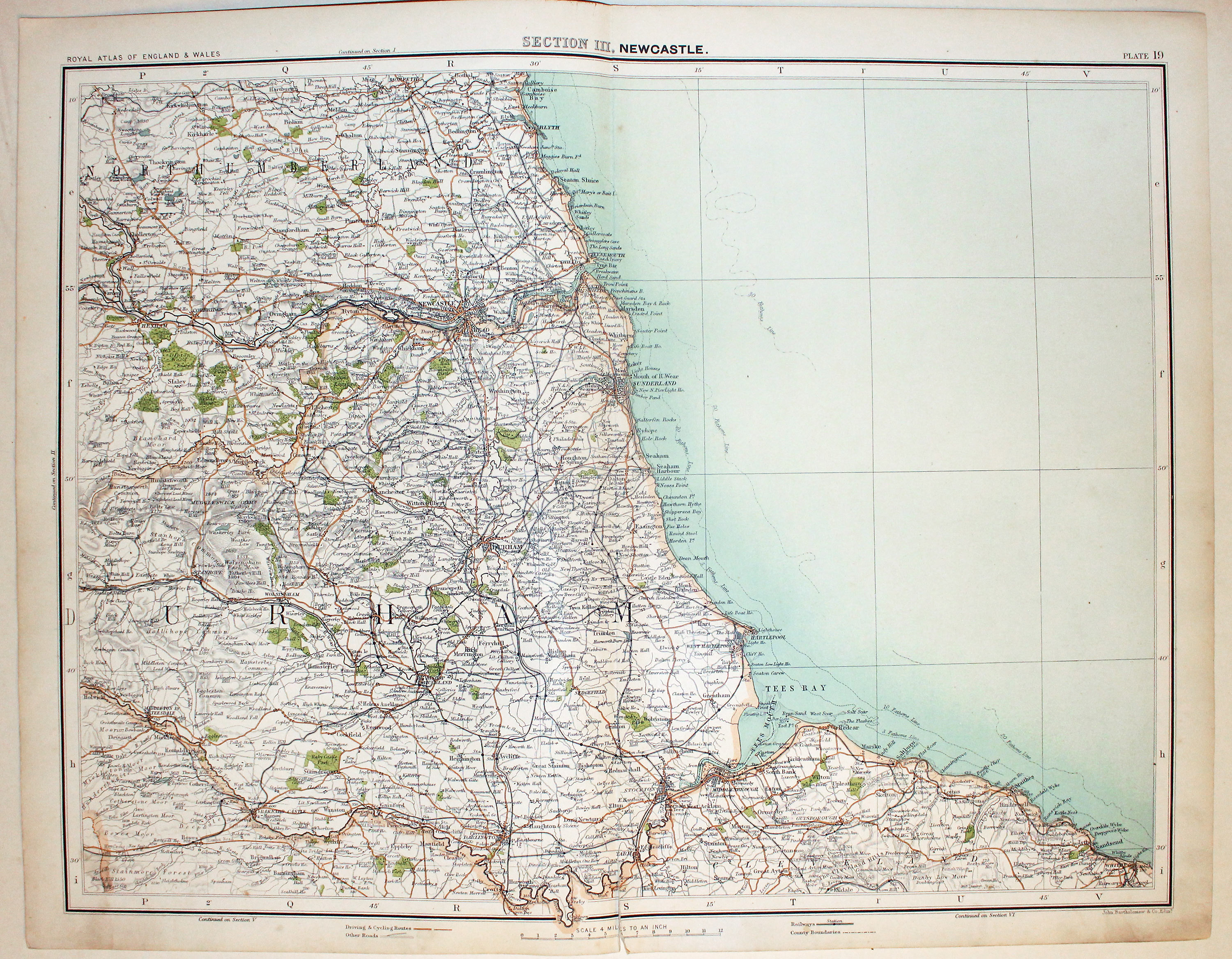
North East England by John Bartholomew c.1898

32770 North East England, John Bartholomew, c.1898. Price: 18.50
SECTION III. NEWCASTLE
A colour printed map extending from Morpeth in the north to Barnard Castle in the south and including the coast from Blyth to Whitby. Scale of 4 miles to the inch. Shows the railways. Centre fold. 16 1/2 x 12 1/2 inches. One inch split at the bottom of the centre fold otherwise good clean condition.
From: The Royal Atlas
Early 19th Century - Original Hand Colouring
-

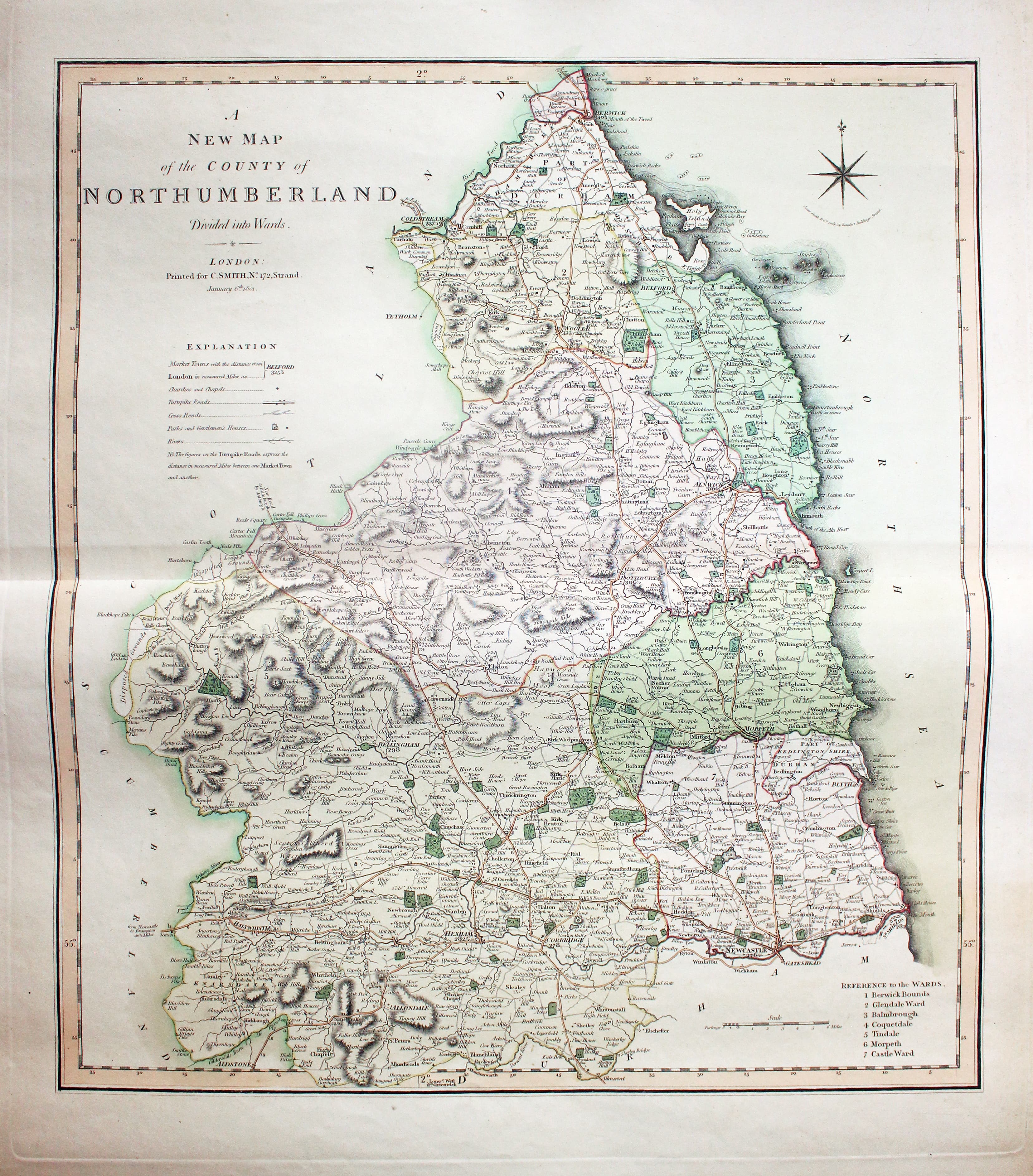
Map of Northumberland, Charles Smith 1801

32820 Northumberland, Charles Smith ,1801. Price: 75.00
A NEW MAP OF THE COUNTY OF NORTHUMBERLAND DIVIDED INTO HUNDREDS. LONDON printed for C. SMITH, NO. 172 STRAND January 6th 1801
The FIRST EDITION of this fine detailed map of the county with compass rose, explanation and list of hundreds. 17 1/2 x 19 1/4 inches. Original centre fold. Fine original outline and wash hand colouring. Good condition with wide margins.
From: Smith’s New English Atlas
19th Century - Early Hand Colouring
-
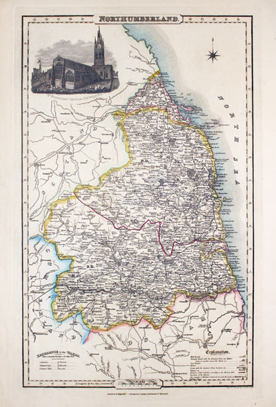
Map of Cornwall by Thomas Letts 1884
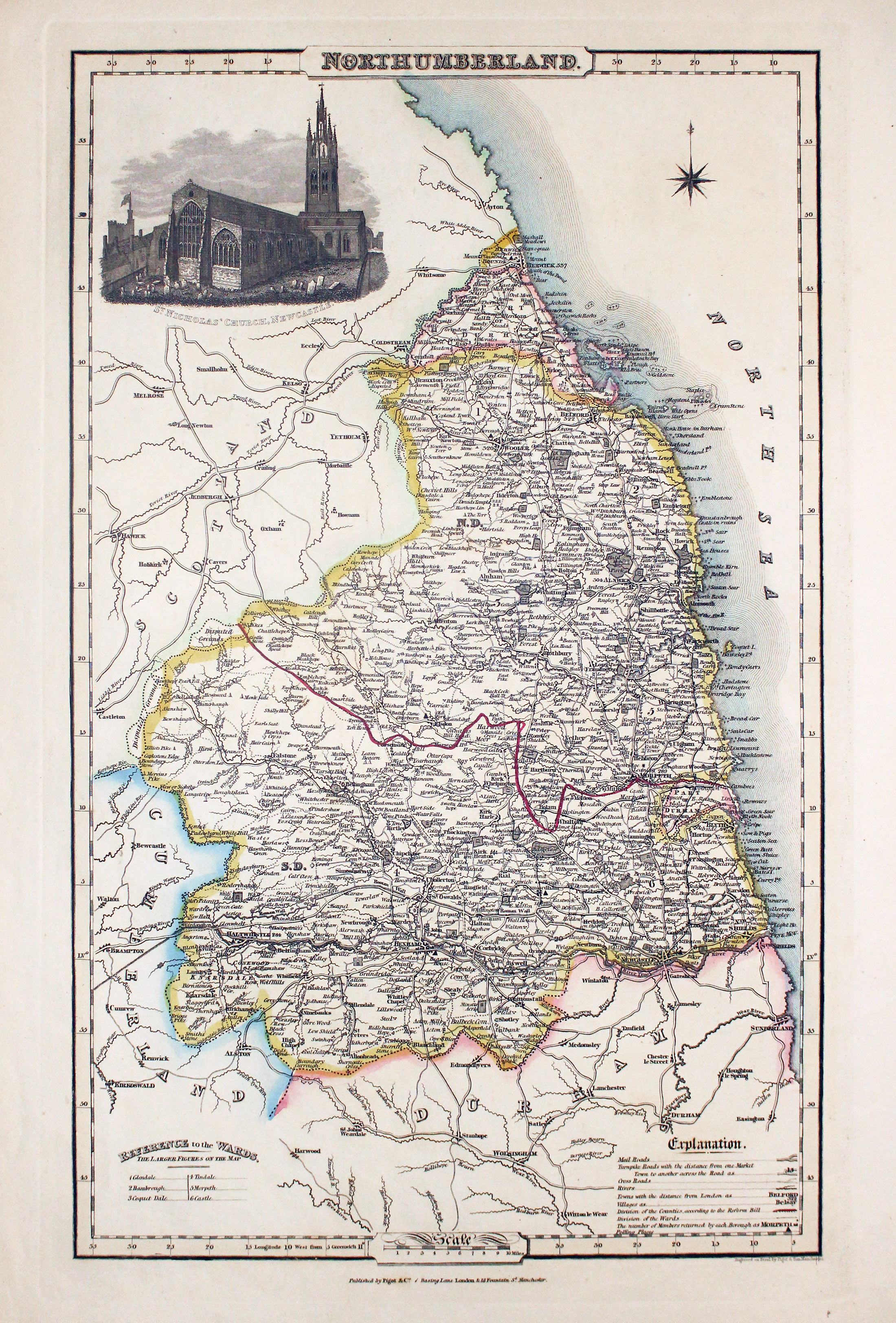
32851 Northumberland, James Pigot, c.1830. Price: 58.00
NORTHUMBERLAND
A good detailed engraved map of the county embellished with an uncoloured vignette view of the St. Nicholas’ Church, Newcastle. List of hundreds and explanation. Imprint of the publishers Pigot & Co. 24 Basing Lane & 18 Fountains St. Manchester beneath. 8 x 14 inches, 222 x 355 mm. Original outline hand colouring. Good condition.
From: British Atlas

19th Century - Early Hand Colouring
-

Map of Northumberland, Samuel Lewis 1848

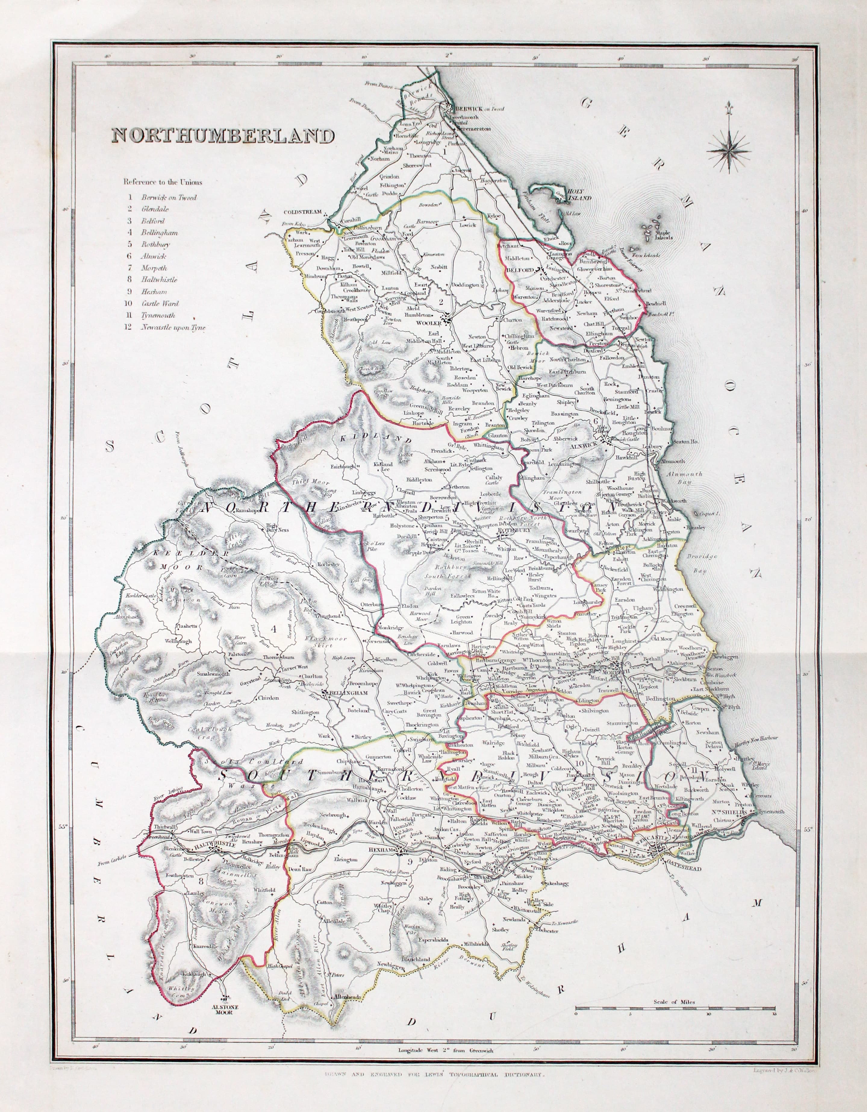
32937 Northumberland, Samuel Lewis, 1848. Price: 30.00
NORTHUMBERLAND
A county map drawn by R. Creighton and engraved by J. & C. Walker. Reference to the Unions. 12 3/4 x 9 1/4 inches. Single fold crease as issued. Original outline hand colouring. Good clean condition. Straight from the atlas and not sold as a single map before now.
From Lewis' Atlas to the Topographical Dictionaries of England and Wales
19th Century
-

Map of Northumberlnd by Thomas Letts
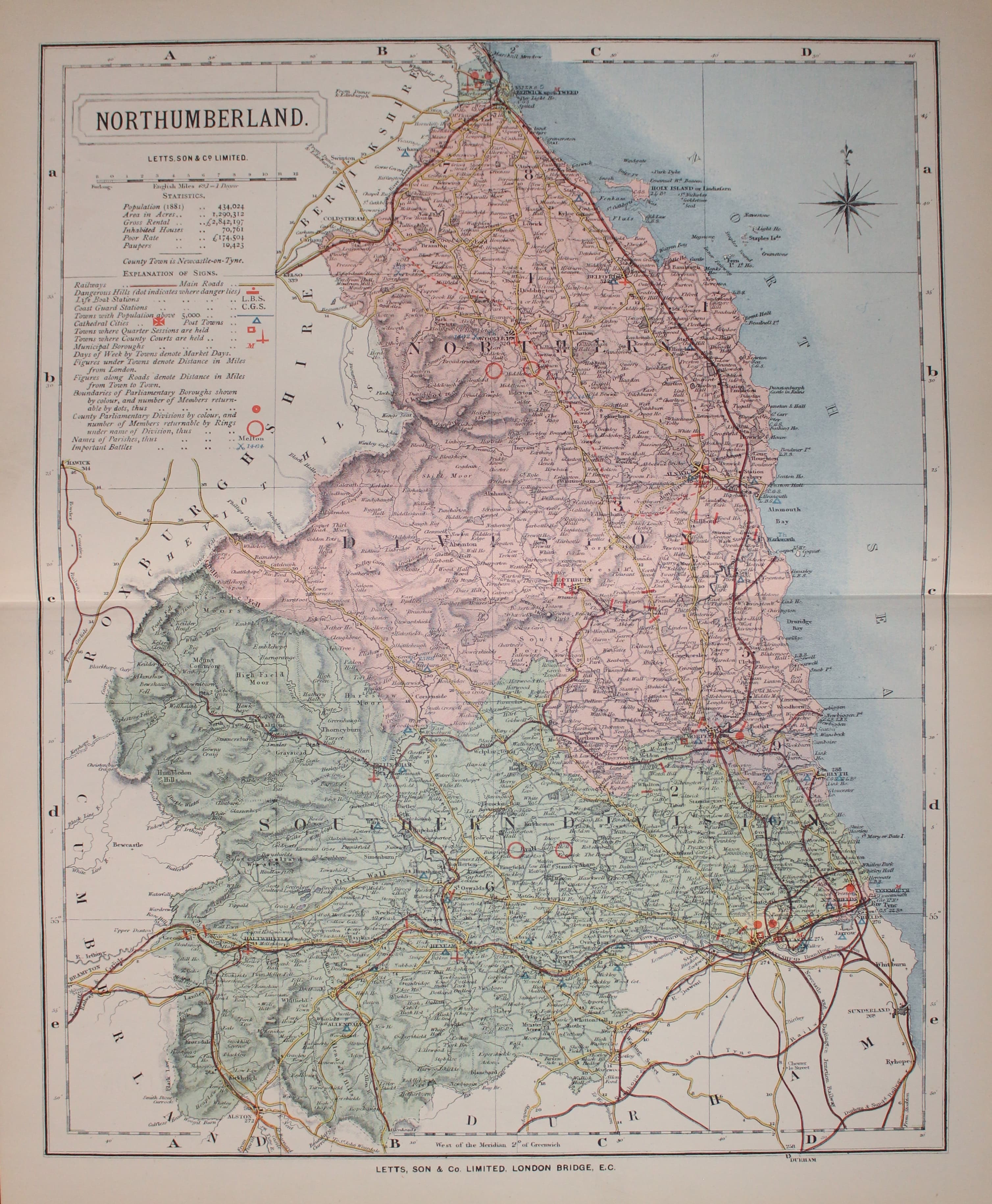
32980 Northumberland, Thomas Letts, 1884. Price: 30.00
NORTHUMBERLAND
A detailed chromolithograph map of the county. Explanation plus statistics concerning Population, Area, Inhabited Houses, Poor Rate and Paupers. 15 1/2 x 12 1/2 inches. Original centre fold. Imprint of Letts & Son beneath. Fine clean condition. Straight from the atlas so never previously been sold as a single map.
From: Lett’s Popular County Atlas

17th Century - Text
-

Northumberland text by William Camden 1637
33230 Northumberland, William Camden, 1637. Price: 9.00
NORTHUMBERLAND
Pages 799 - 822 inclusive describing the county of Northumberland in English. About 13 x 8 inches. Good condition.
From Camden’s Britannia

19th Century - Imperfect
-

Map of Northumberland, Samuel Lewis 1848
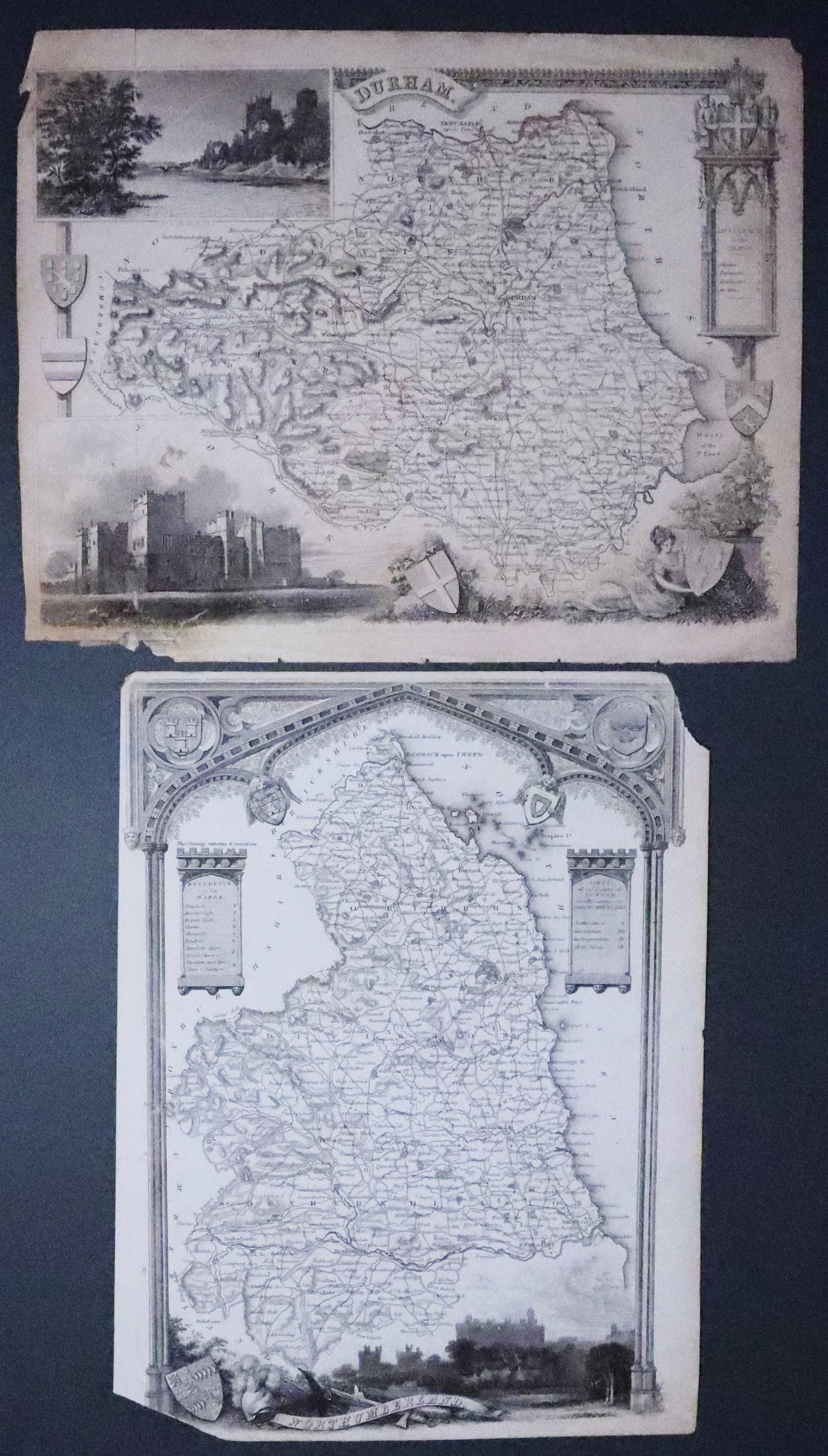
33261 Northumberland, & Durham, Thomas Moule, c.1850. Price: 6.00
NORTHUMBERLAND & DURHAM
Imperfect specimens of Thomas’s Moule’s map of Northumberland and Durham. 10 x 7 3/4 inches. Uncoloured. Durham has old imperfect repair to bottom left hand corner and a 1 inch tear in top. Flaws in top and bottom margins. Possible restoration job or just for reference. Special price due to condition.
From: Barclay’s Dictionary

18th Century - First Edition
-
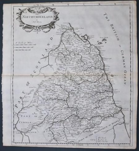
Northumberland, Robert Morden 1695
33520 Northumberland, Robert Morden 1695. Price: 115.00
NORTHUMBERLAND by Robt. Morden
The FIRST EDITION of this good engraved map of the county embellished with a decorative title cartouche. Three scales. Imprint of the publishers Abel Swale with Awnsham and John Churchill. Small blank margins on the top and bottom which is fairly common with this early edition. 14 x 16 inches. Uncoloured. Original centre fold. Good condition. This map has been taken straight from the atlas and therefore not previously offered for sale as a single map. One of the first maps of the county to show the main coach roads following Ogilby’s survey some 20 years earlier.
From Camden's Britannia.
