Antique Maps of Shropshire
Richard Nicholson of Chester
A World of Antique Maps and Prints
Established in 1961
All the Maps on this page are guaranteed to be genuine early specimens
published in or around the year stated
19th Century - Early Hand Colouring
-

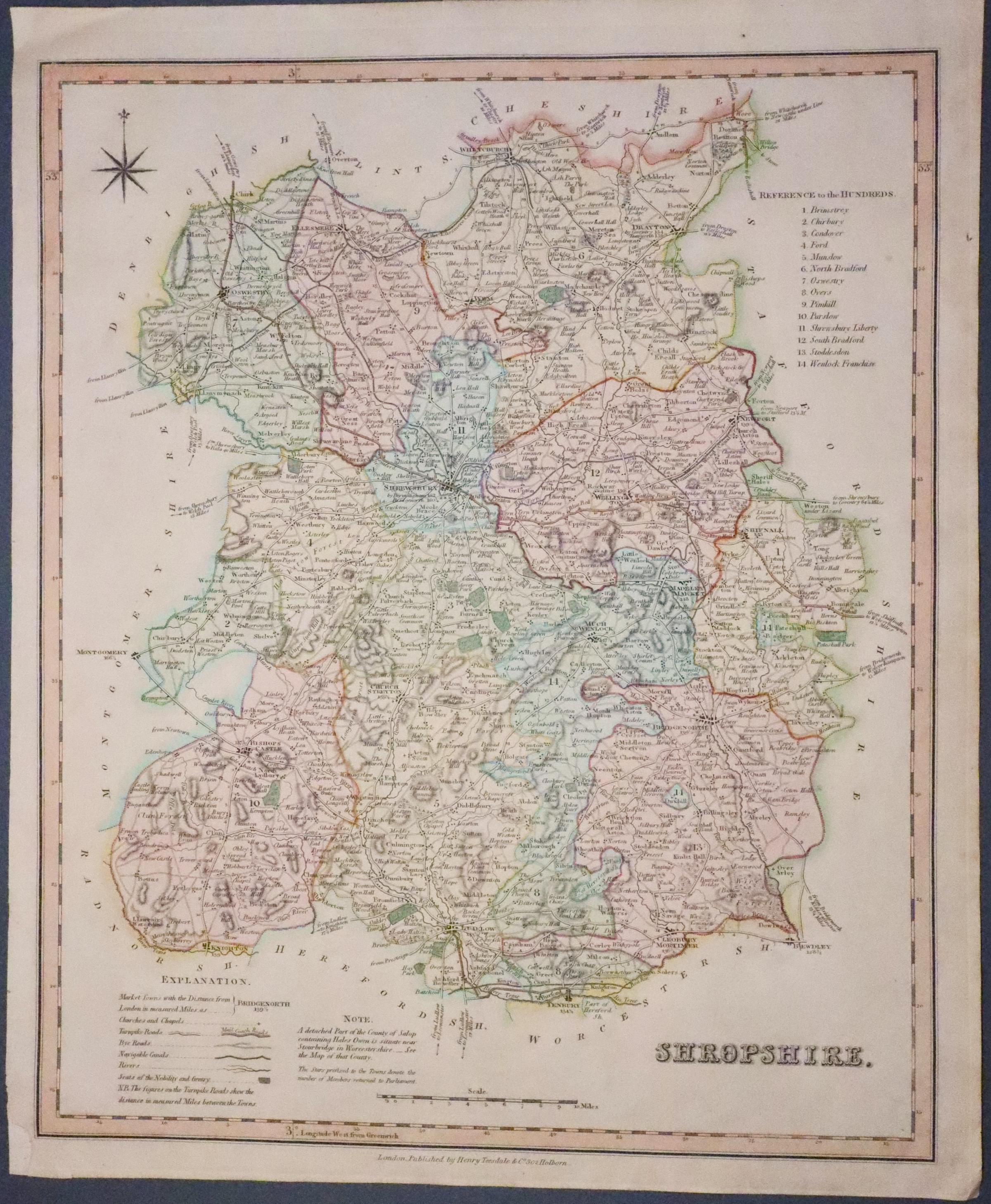
Map of Shropshire by Henry Teesdale c.1834

24716 Shropshire, Henry Teesdale, c.1834. Price: 45.00
SHROPSHIRE
A good detailed engraved map of the county including the Mail Coach Roads. List of hundreds, explanation and compass rose. 13 1/4 x 16 1/4 inches. Fine early outline and wash hand colouring. Small repair to the bottom left hand blank margin corner plus a few tiny nicks in edges otherwise good condition. Whatman paper watermarked 1829.
From: New British Atlas
18th Century - Road Map
-

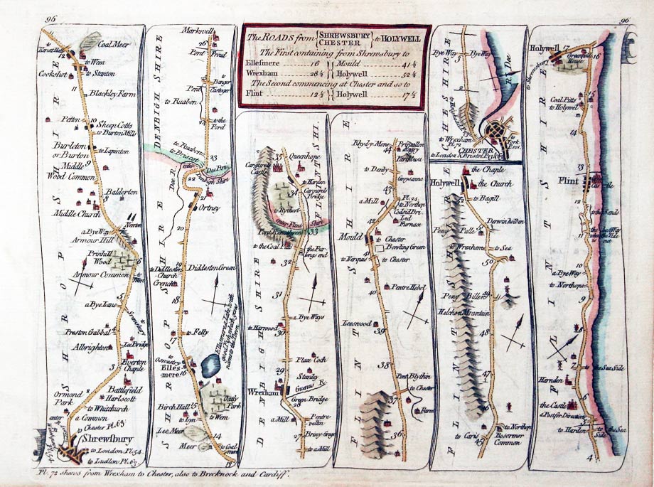
Kitchin road map SHREWSBURY/CHESTER TO HOLYWELL

27081 Plate 96/97. Thomas Kitchin, 1767 Price: 48.00
ROAD MAPS
The Roads from SHREWSBURY/CHESTER TO HOLYWELL The First containing from Shrewsbury to.. Shrewsbury/ Ellesmere, Wrexham, Mold, Holywell. Chester, Hawarden, Flint, Holywell. The Road from TINMOUTH TO CARLISLE Tynemouth, Newcastle upon Tyne, Hexham, Haydon, Haltwhistle, Carlisle.
A double-sided strip road map. 8 x 6 inches. Hand coloured. Good condition.
From: Kitchin's Post-Chaise Companion through England and Wales
17th Century - Road Map
-

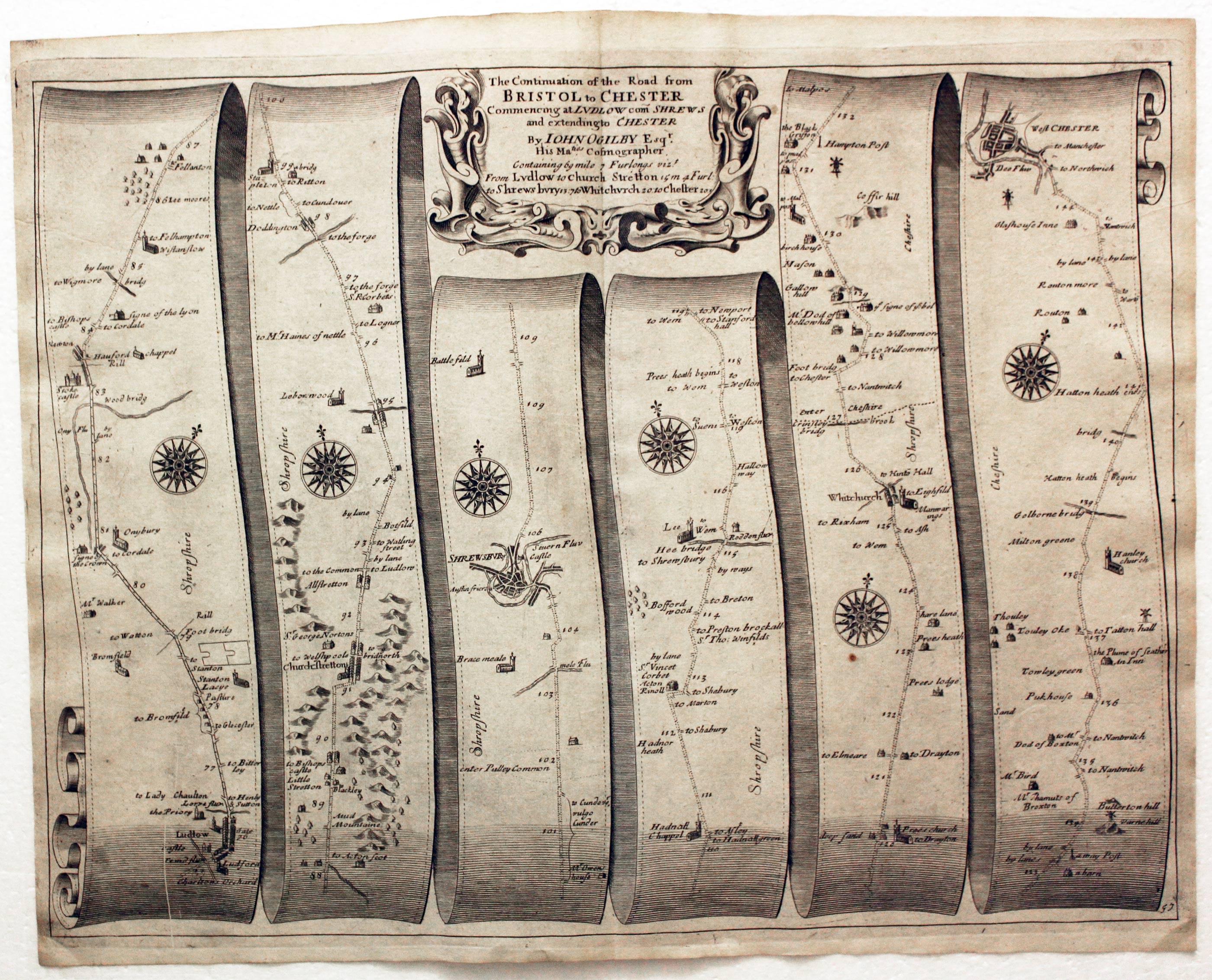
Road Map 57, John Ogilby, 1698
29419 Road Map, John Ogilby, 1698.Price: 150.00
Plate 57 The Road from Bristol to West Chester. Plate 2.
Ludlow, Shrewsbury, Whitchurch, Chester.
An uncoloured specimen of the 1698 edition. Lightly toned but a nice specimen.
Early 19th Century
-
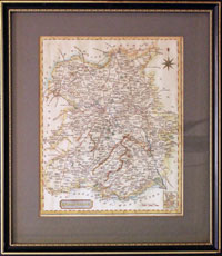
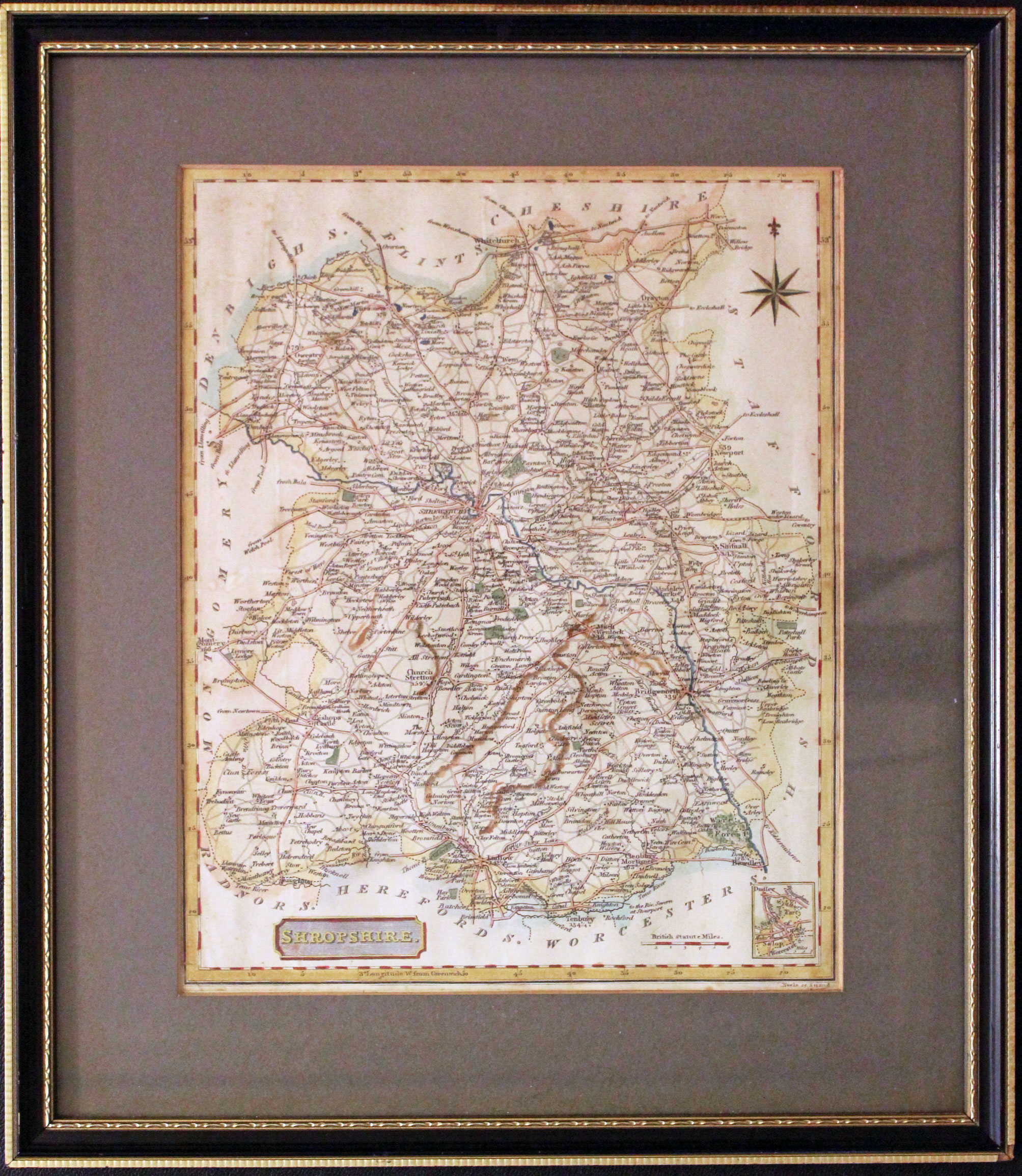
Shropshire Samuel John Neele, c.1817

30100 Shropshire Samuel John Neele, c.1817. Price: 25.00
SHROPSHIRE
An engraved map of the county with a small inset map of the area near Dudley in the bottom right hand corner. Title panel and compass rose. Hand coloured. 7 3/4 x 9 1/2 inches. Closely mounted in a dark green sunk mount. Framed many years ago in a black and gilt hogarth moulding with a tiny chip in the bottom right hand corner but otherwise in good condition.
This map is only available to customers who can collect from Christleton
18th Century
-
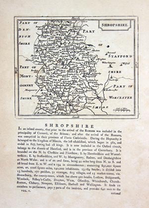
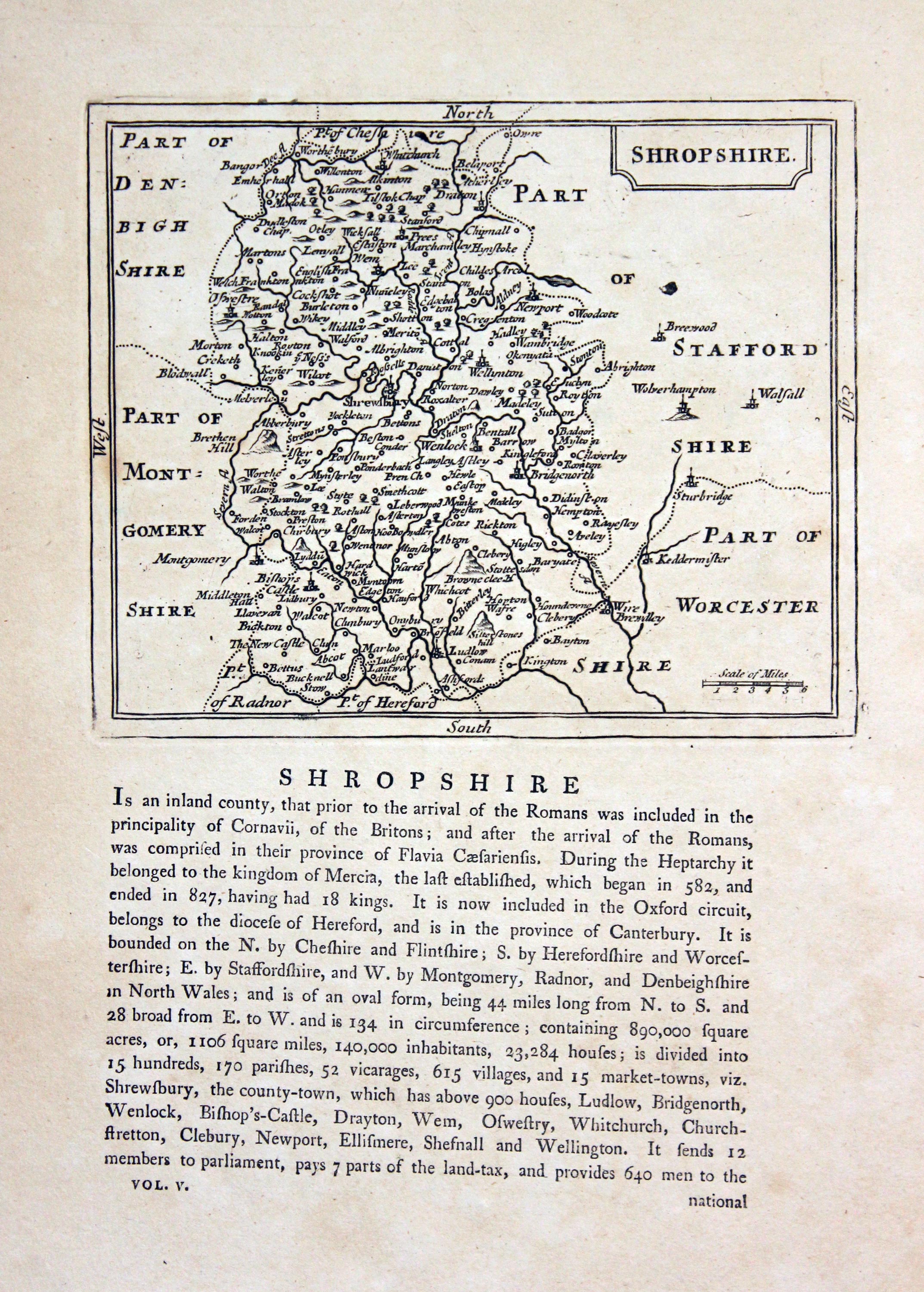
Shropshire, John Seller, c.1787

30435 Shropshire, John Seller, c.1787. Price: 34.00
SHROPSHIRE
An engraved map the county with title panel. 5 3/4 x 4 3/4 inches. Text beneath and continuing on verso. Uncoloured. Good condition.
From: Grose's Supplement to the Antiquities of England and Wales
19th Century
-
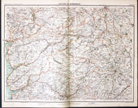
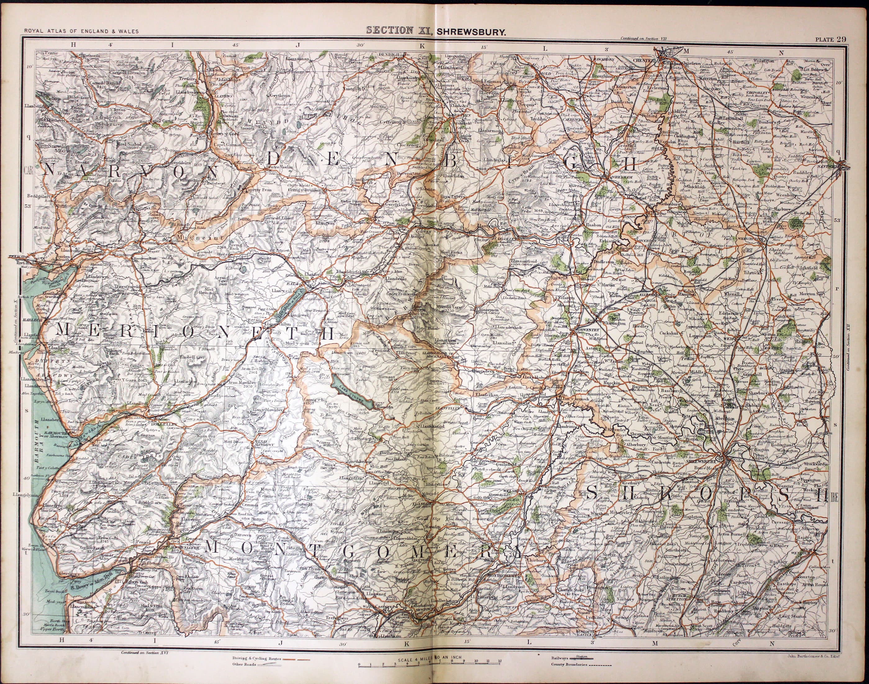
Part of Shropshire and North Wales, John Bartholomew, c.1898

30827 Part of Shropshire and North Wales, John Bartholomew, c.1898. Price: 18.00
SECTION XI, SHREWSBURY
A colour printed map showing parts of Caernarvonshire, Merionethshire, Montgomeryshire, Shropshire and Cheshire. Scale of 4 miles to the inch. Shows the railways. 16 1/2 x 12 1/2 inches. Centre fold. Good clean condition.
From: The Royal Atlas
18th Century
-
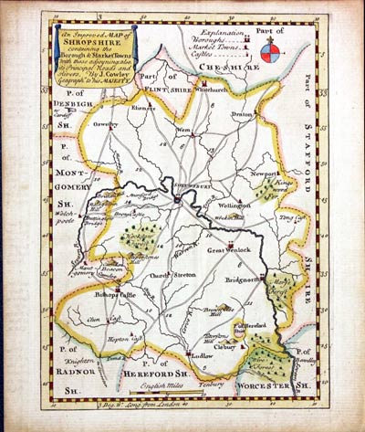
Shropshire, John Cowley, 1744

31475 Shropshire, John Cowley, 1744. Price: 43.00
AN IMPROVED MAP OF SHROPSHIRE CONTAINING THE BOROUGH & MARKET TOWNS WITH THOSE ADJOINING; ALSO ITS PRINCIPAL ROADS AND RIVERS. BY J. COWLEY GEOGRAPHR. TO HIS MAJESTY
An interesting small engraved map of the county. A banner displays the title. 5 x 7 inches. Hand coloured. Good condition.
From: The Geography of England
17th Century
-
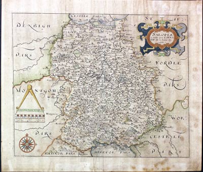
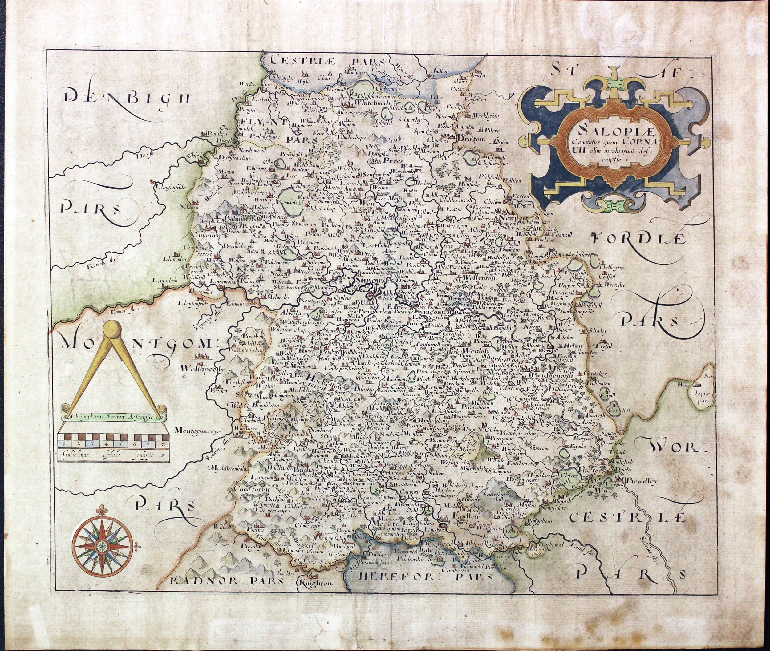
Shropshire, William Hole, 1637

31477 Shropshire, William Hole, 1637. Price: 120.00
SAOLOPIA COMITATUS QUEM CORNAUII OLIM INCOLUORUN DESCRIPTIO
An early map of the county engraved by William hole after the survey by Christopher Saxton. Decorative title cartouche. Scale with pair of dividers. Compass rose. 13 1/4 x 10 3/4 inches. Hand coloured. Coat of arms watermark. Some very small repairs on verso to the bottom blank margin. Lightly toned all over and some light foxing in the bottom right hand corner.
From: Camden’s Britannia
This map was last sold in 1988 in my shop in Chester and now on the market again
Late 18th Century - Early Hand Colouring
-
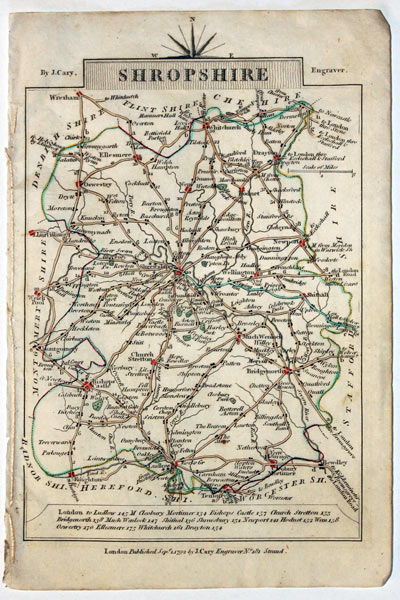
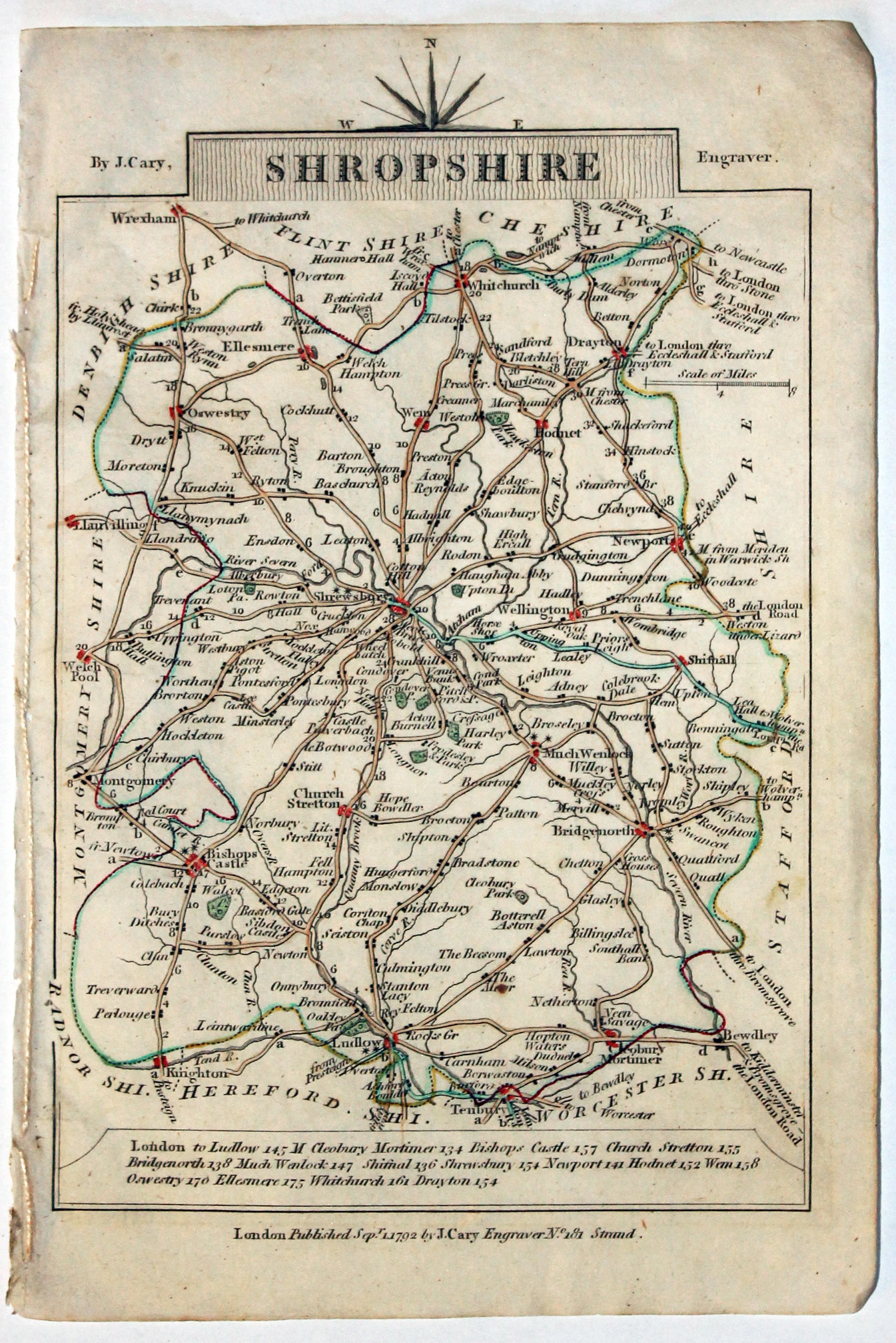
Map of Shropshire, John Cary, 1792
32553 Shropshire, John Cary, 1792. Price: 14.00
SHROPSHIRE
A small engraved map of the county. Tile panel surmounted by half compass rose. Panel at bottom with list of distances from London. Publisher’s imprint beneath dated 1792. 3 1/2 x 4 3/4 inches. Thin paper. Original outline hand colouring. Good condition.
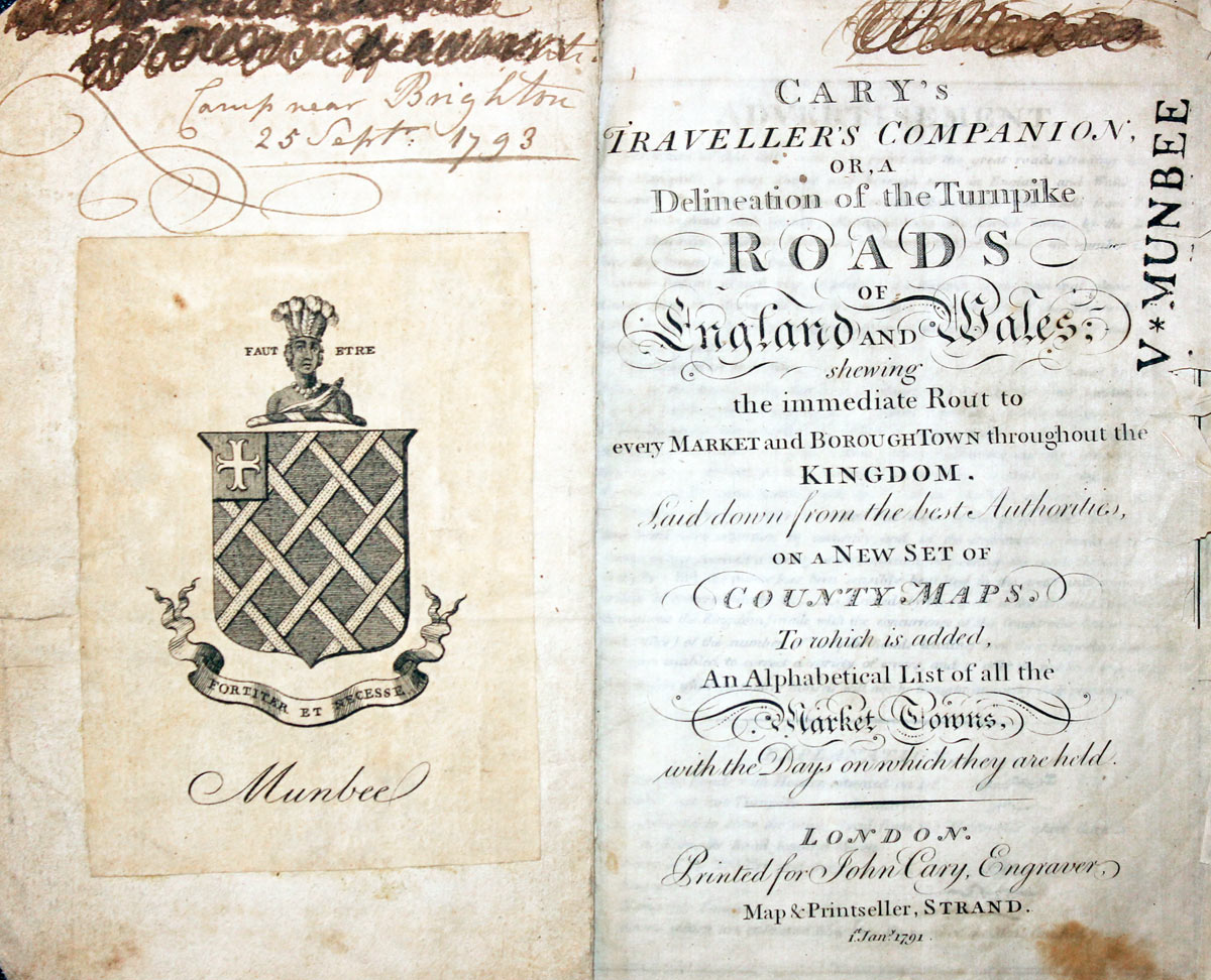
From: Cary’s Traveller’s Companion
Titlepage dated 1791, maps dated 1792. The atlas was formerly in the Mumbee family library - titlepage stamped V. Munbee
Provenance
-
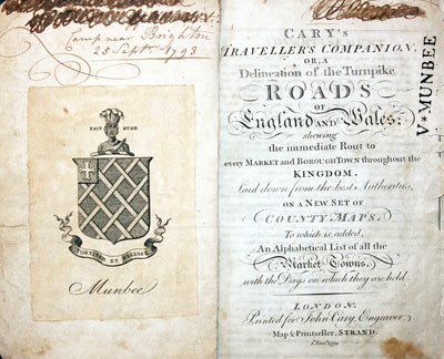
Cary Titlepage and Munbee Bookplate

17th Century - Text
-

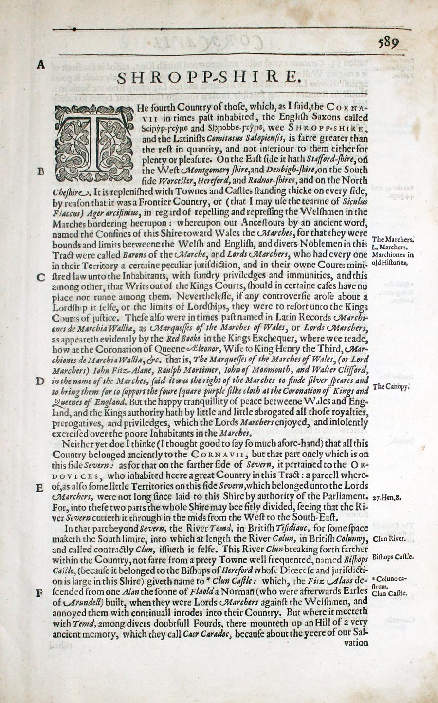
Shropshire text from Camden's Britannia by William Camden 1637

32833 Shropshire, William Camden, 1637. Price: 9.00
SHROPP-SHIERE
Pages 589 - 599 inclusive describing the county in English. About 13 x 8 inches. Good condition.
From: Camden’s Britannia
19th Century - Early Hand Colouring
-

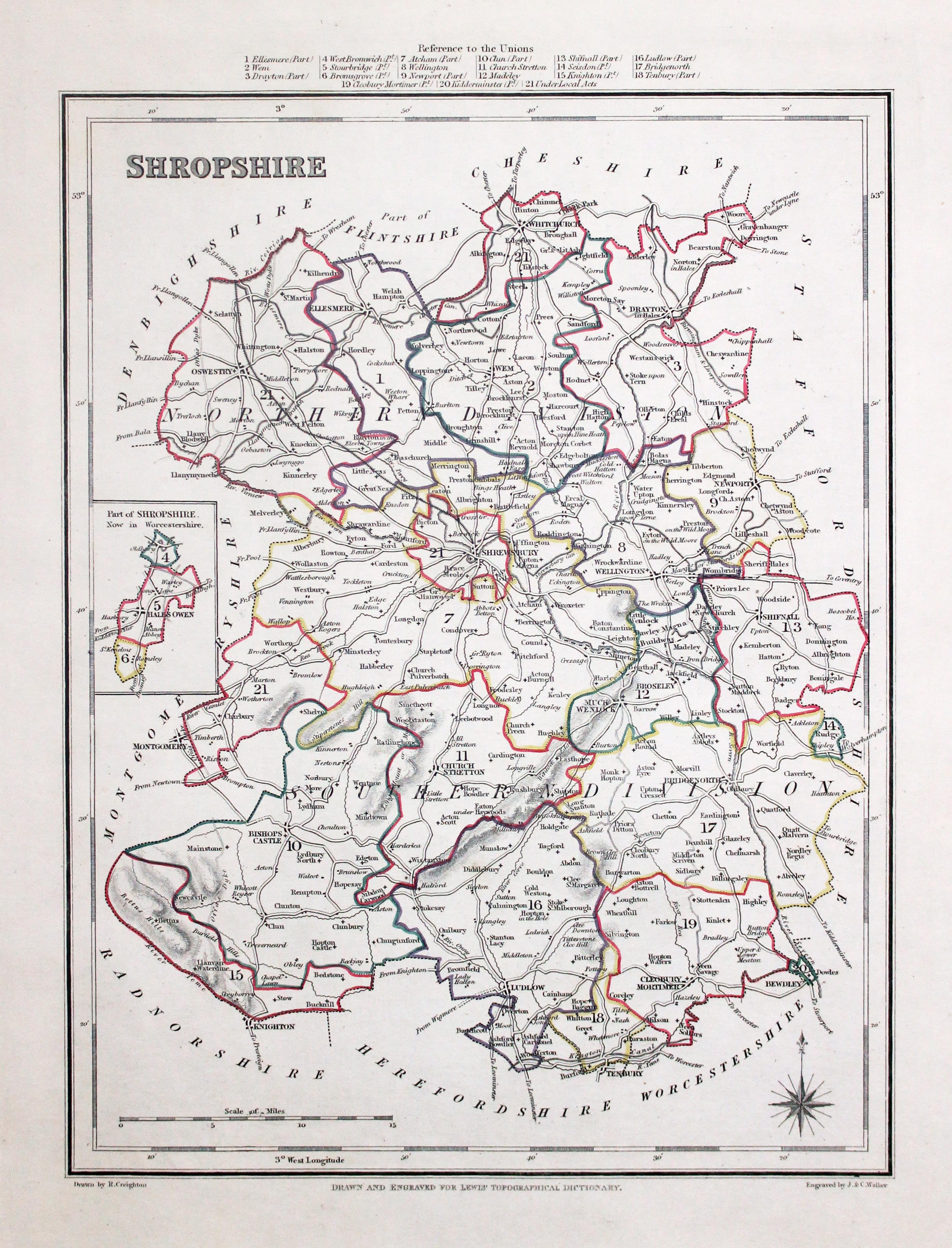
Map of Shropshire, Samuel Lewis 1848

32933 Shropshire, Samuel Lewis, 1848. Price: 28.00
SHROPSHIRE
A county map drawn by R. Creighton and engraved by J. & C. Walker. Reference to the Unions. Scale and compass rose. 6 3/4 x 9 inches. Original outline hand colouring. Good clean condition. Straight from the atlas and not sold as a single map before now.
From Lewis' Atlas to the Topographical Dictionaries of England and Wales
18th Century
-

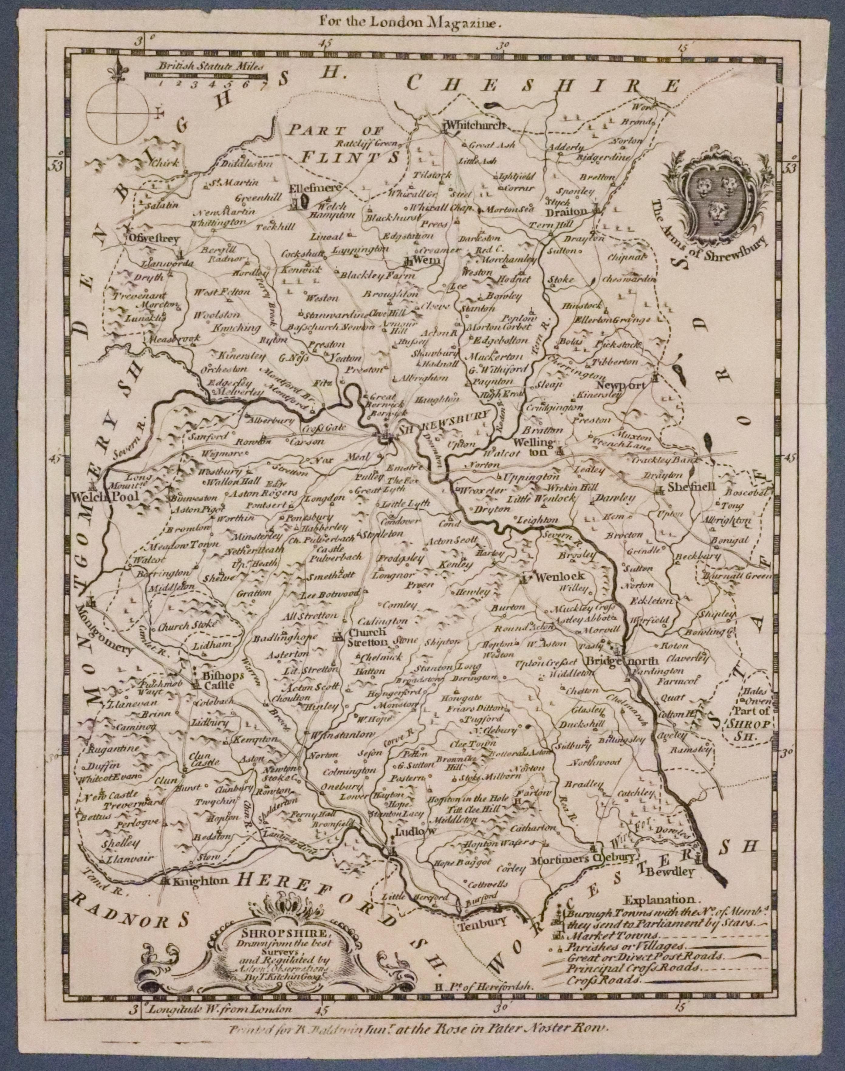
Map of Shropshire by Thmas Kitchin c.1750

33324 Shropshire, Thomas Kitchin c.1750. Price: 34.00
SHROPSHIRE DRAWN FROM THE BEST SURVEYS
An engraved map of the county embellished with a decorative title cartouche and The Arms of Shrewsbury. Explanation, compass pointer and scale. The imprint beneath reads “ Printed for R. Baldwin Junr. at the Rose in Pater Noster Row. Above the map is “For the London Magazine”. 6 1/2 x 8 1/2 inches. Uncoloured. Minor small tear in the top right hand corner repaired on verso.
Fron: The Londn Magazine

