Antique Maps of Yorkshire
East Riding
Richard Nicholson of Chester
A World of Antique Maps and Prints

Established in 1961
All the Maps on this page are guaranteed to be genuine early specimens
published in or around the year stated
19th Century - Early Hand Colouring
-

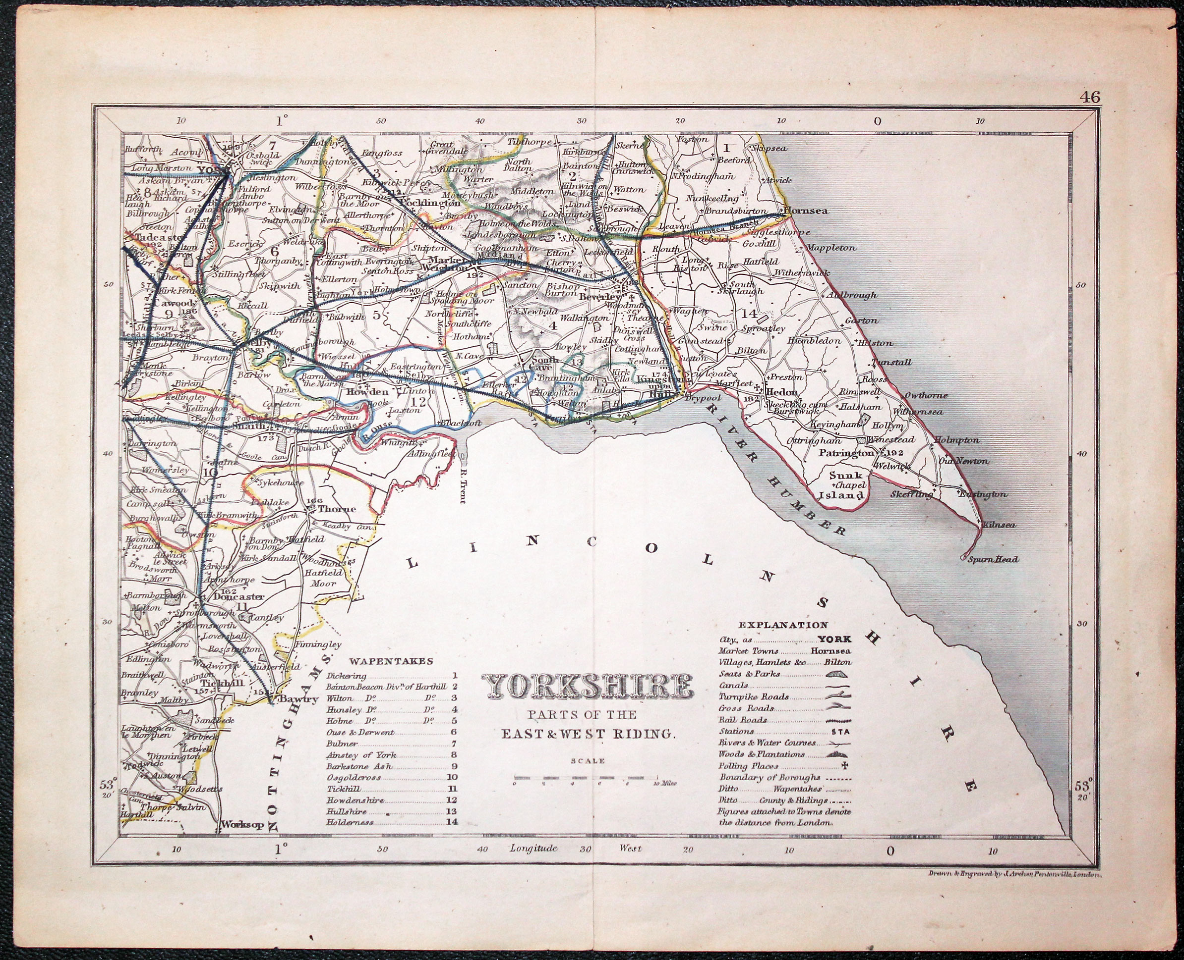
Parts East and West Ridings, Joshua Archer, c.1845

29792 Parts East and West Ridings, Joshua Archer, c.1845. Price: 16.50
YORKSHIRE PARTS OF THE EAST AND WEST RIDING
An engraved map with explanation and list of wapontakes. Shows the railways at the time. 9 1/4 x 7 inches. Original centre fold. Original outline hand colouring. Good condition.
19th Century - Early Hand Colouring
-

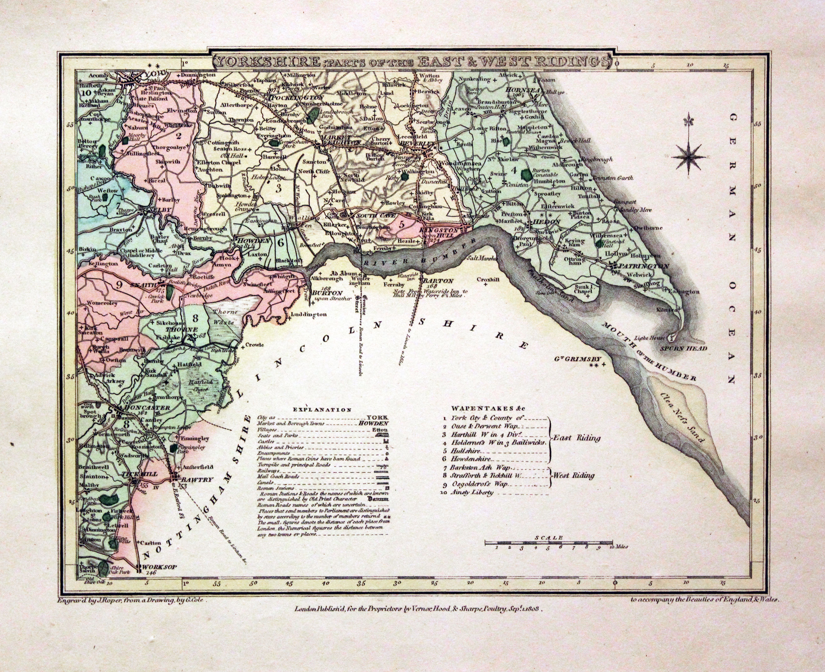
Part of East and West Ridings, George Cole and John Roper, 1810

30066 Part of East and West Ridings, George Cole and John Roper, 1810. Price: 27.00
YORKSHIRE: PARTS OF THE EAST & WEST RIDINGS
An engraved map including the River Humber and extending north to includes York and Hornsea. To the south Doncaster and Tickhill. 8 3/4 x 6 3/4 inches. Original hand colouring. Fine condition with wide blank margins. Straight from the atlas and not sold as a single map before.
From: The British Atlas
19th Century - Town Plan
-

Hull, George Washington Bacon, c.1883

30143 Hull, George Washington Bacon, c.1883. Price: 35.00
HULL
A good late 19th century town plan of Hull. Index down the left and right hand sides. 20 x 13 inches. Presented in a 3 1/2 inch wide ivory tint sunk mount and framed some years ago in a plain black hockey moulding which is still in acceptable condition.
This map is only avaialble to customers who can collect from Christleton
18th Century - Early Hand Colouring
-
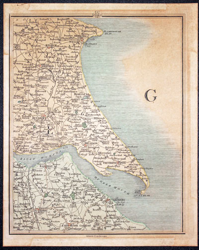
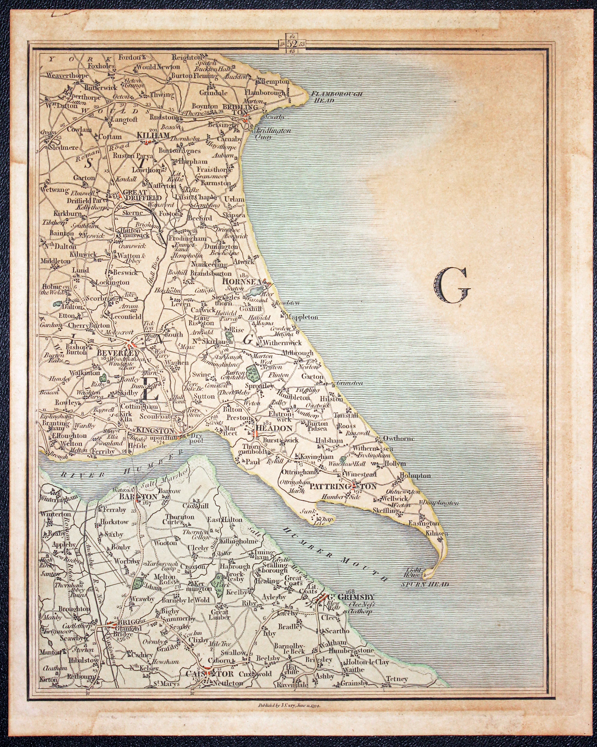
Part of East Yorkshire, John Cary, 1794

30201 Part of East Yorkshire, John Cary, 1794. Price: 28.00
PLATE 52 of Cary’s New Map of England and Wales with Part of Scotland. Drawn at a scale of 5 miles to the inch
The map shows part of East Yorkshire and Lincolnshire including Kilham, Beverley, Hull, Barton and Grimsby. 8 x 10 inches. Original outline and wash hand colouring. Good condition. In an ivory tint sunk mount and framed some years ago in a black hockey moulding.
This map is only available to customers who can collect from Christleton
18th Century - Interesting Provenance
-
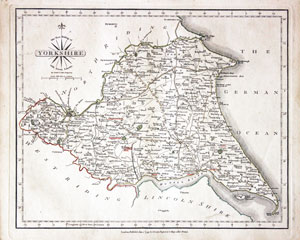
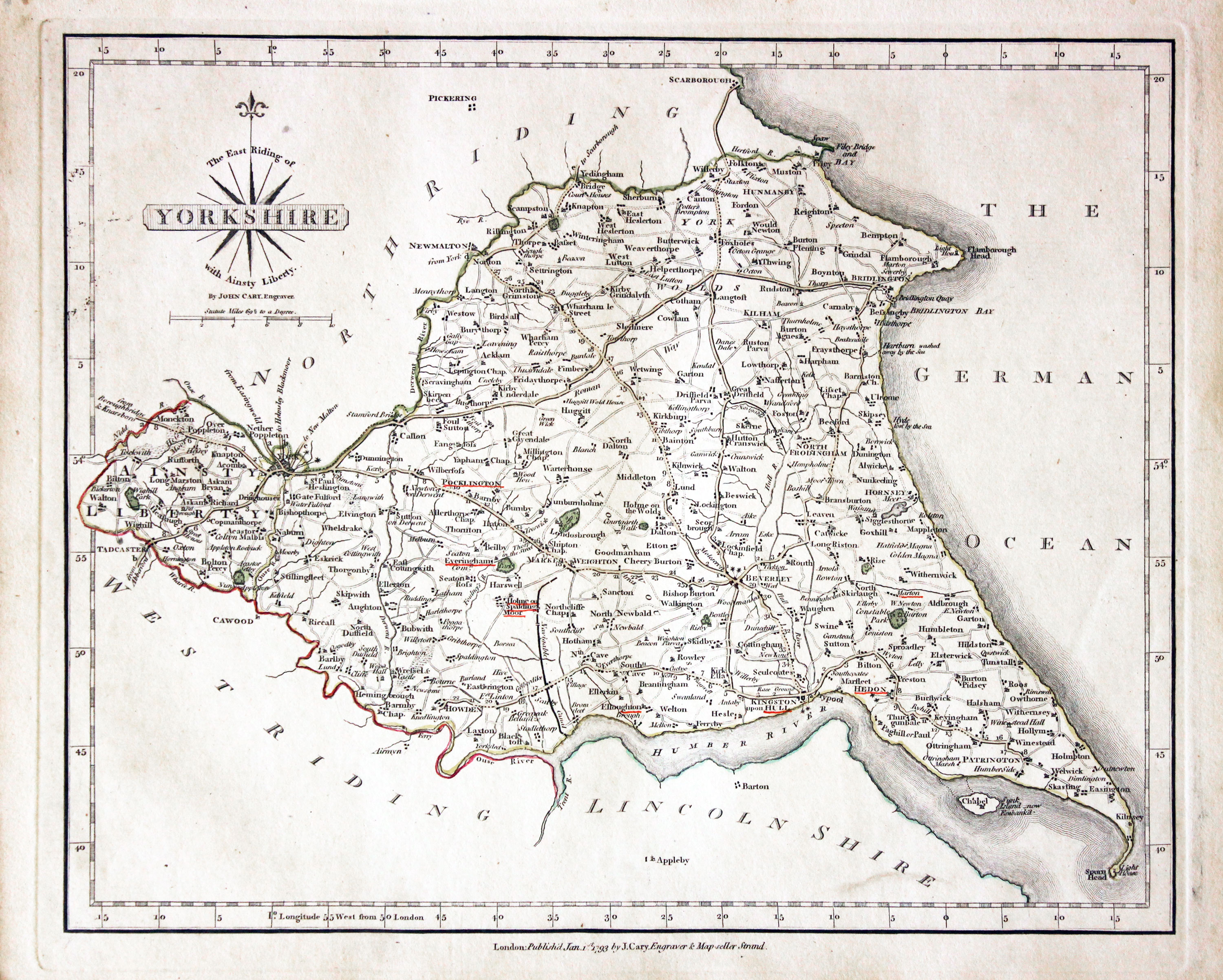
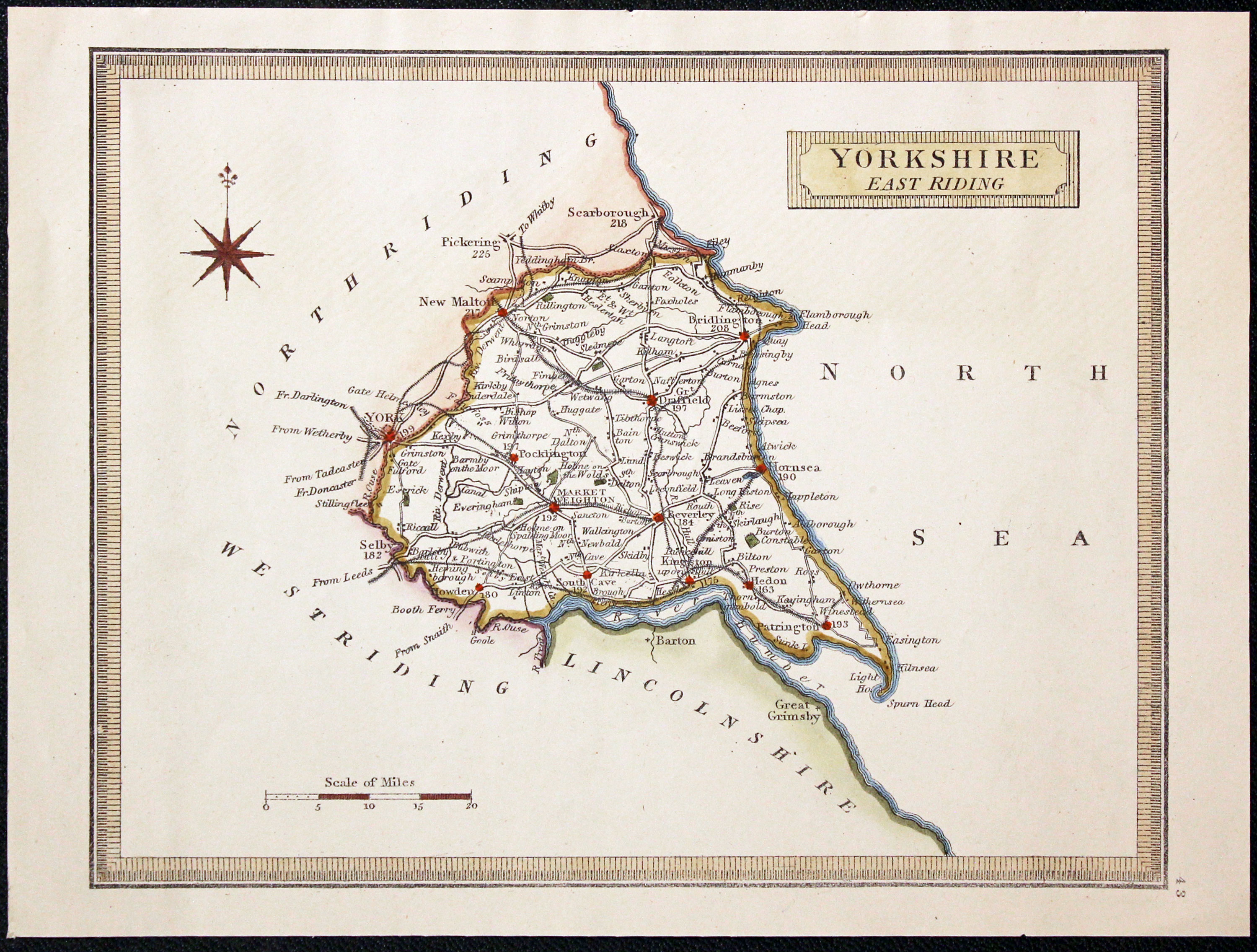
Yorkshire East Riding, John Cary 1793

30892 Yorkshire East Riding, John Cary 1793. Price: 46.00
THE EAST RIDING OF YORKSHIRE
A good detailed and well engraved map of the Riding. Title panel and compass rose combined. Imprint of John Cary beneath dated 1793. 10 1/4 x 8 1/4 inches. Original outline hand colouring. Some of the town names are underlined in red. With original page of descriptive text. Good condition.
From: Cary's New and Correct English Atlas
The places underlined in red ink are those in which a Catholic mission has been established between the era of the Reformation and the year 1840
John Hobson Matthews (1858 - 1914) Born in Croydon in 1858. Educated at schools at Blackheath and Cambridge. Worked for a shipping firm in Malta. A good linguist he was a Roman Catholic historian, archivist and solicitor. You will find more details about him here in the Dictionary of Welsh Biography.
Victorian - Fox Hunting
-
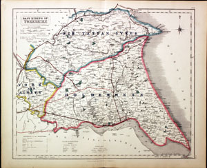
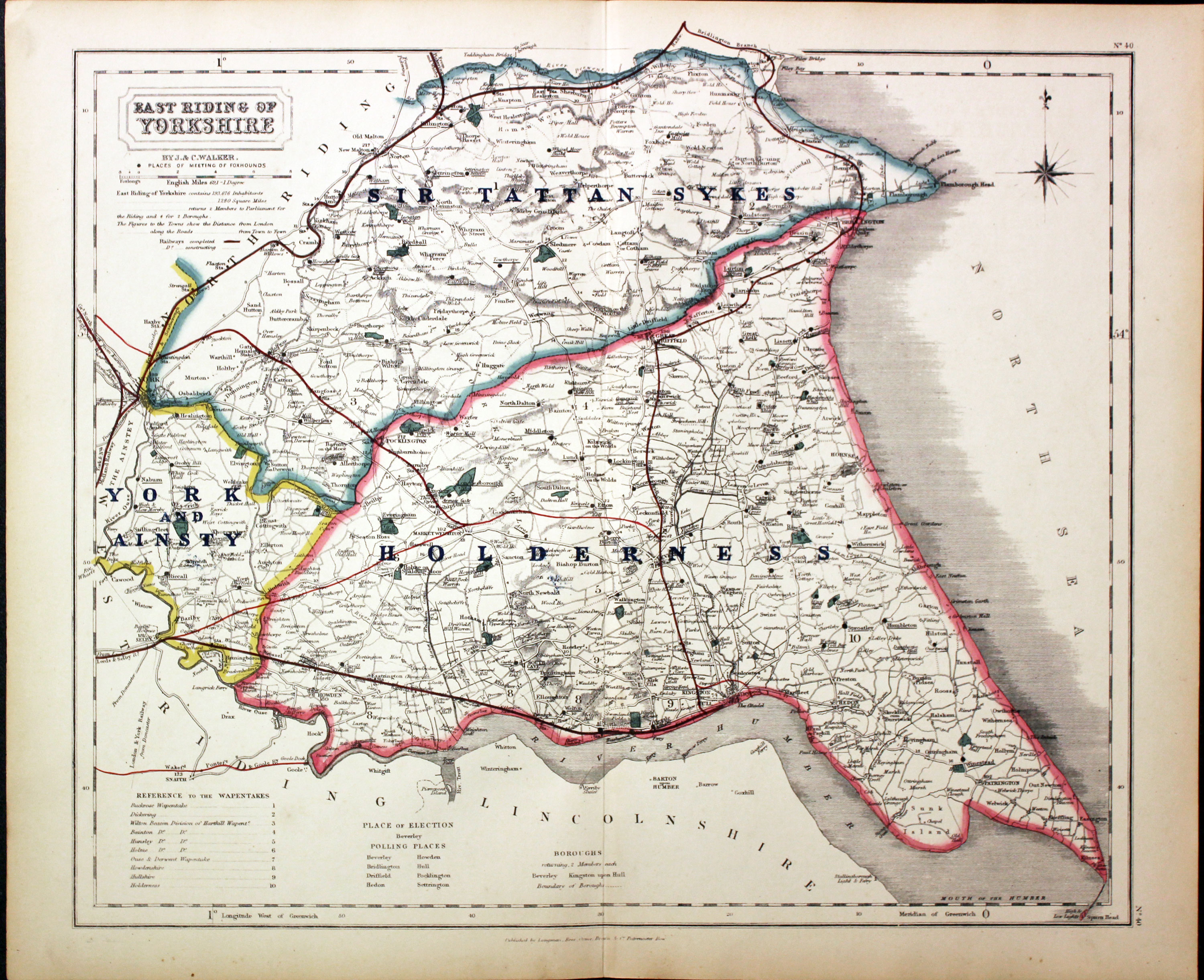
East Riding Yorkshire - Fox Hunting, John and Charles Walker, 1851


31069 East Riding - Fox Hunting, John and Charles Walker, 1851. Price: 45.00
EAST RIDING OF YORKSHIRE
A good detailed lithograph map of the county from Hobson's Fox Hunting Atlas showing the places of the Meeting of the Hounds. 15 1/2 x 12 1/2 inches. Published by Longman, Rees, Orme, Brown and Co. Paternoster Row, London. Original outline hand colouring. Fine condition. Straight from the atlas so has not been sold as a single map before.
Shows Sir Tattan Sykes, York and Ainsty and Holderness Hunts
Provenance: George Hayhurst - Royal Fusiliers and Henry H. France
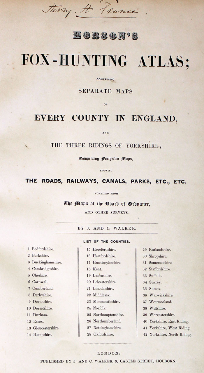
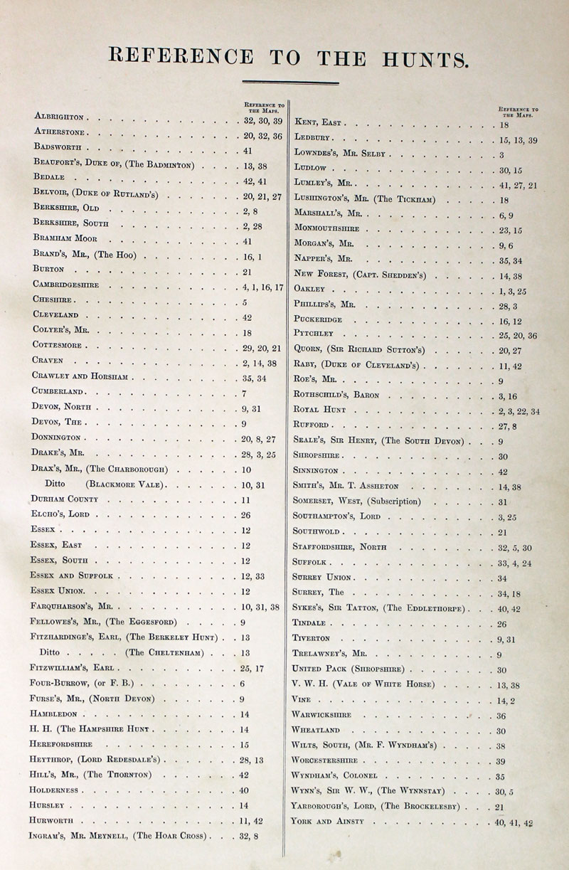
TITLE PAGE AND LIST OF HUNTS
-
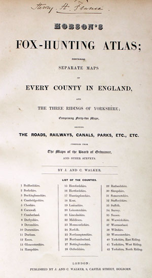
Hobson Fox Hunting Atlas Titlepage
-
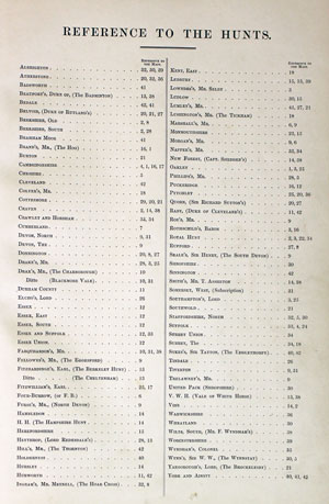
Hobsons Fox Hunting Atlas List of Hunts
18th Century - First Edition
-

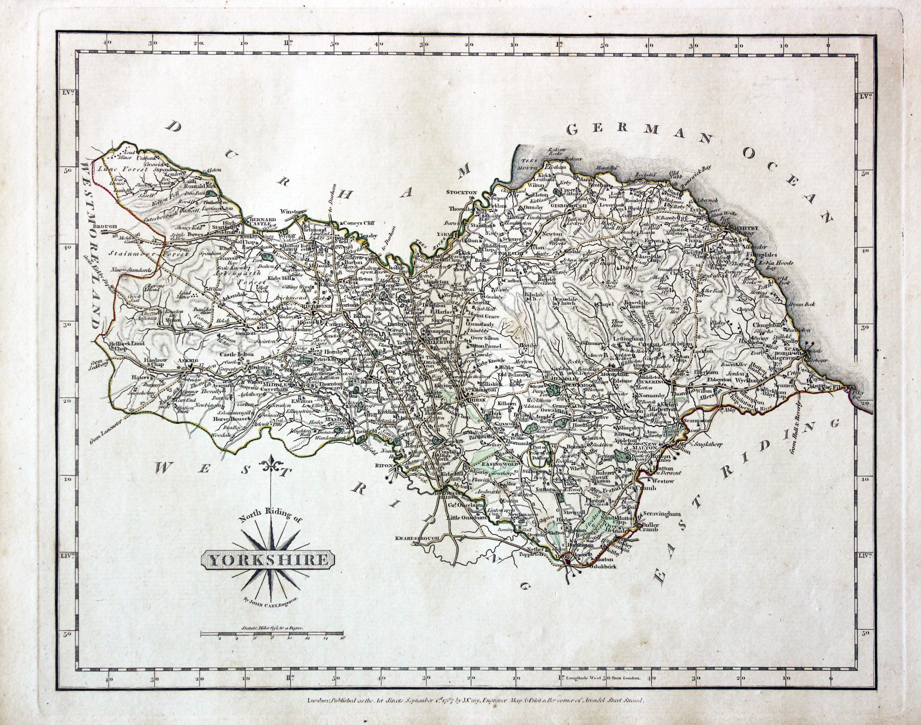
North Riding of Yorkshire John Cary 1787

31312 Yorkshire East Riding, John Cary 1787. Price: 48.00
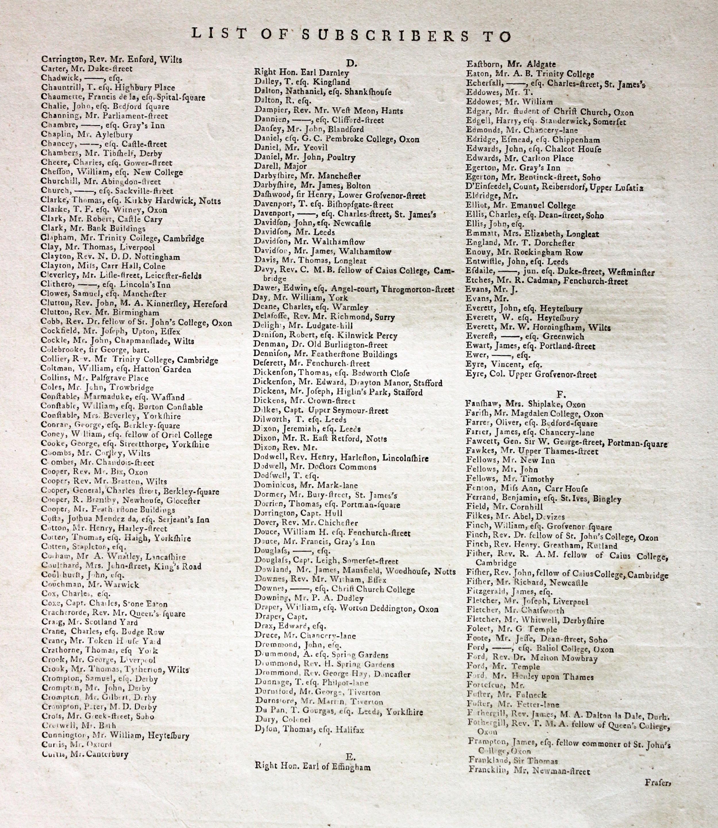
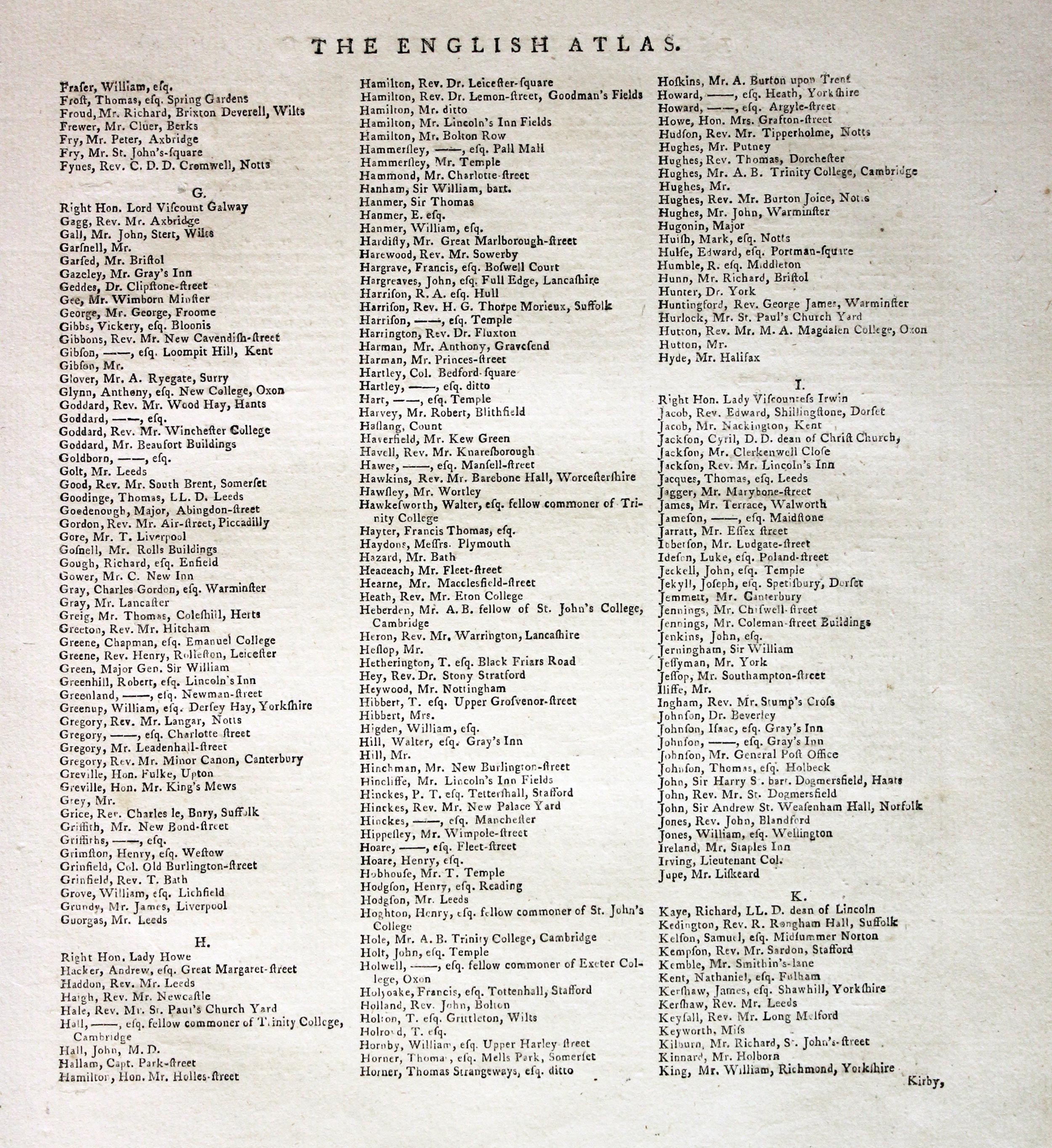
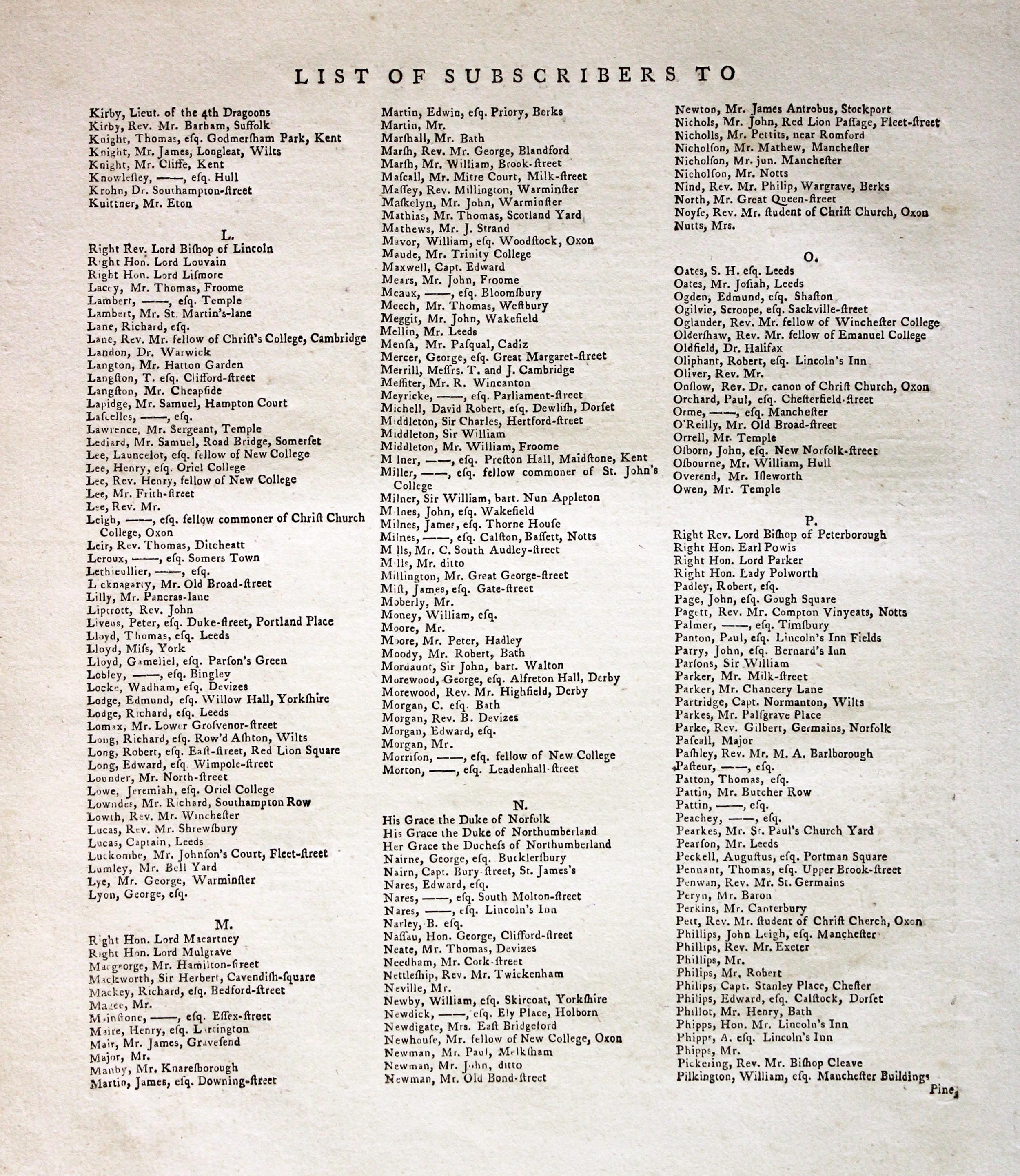
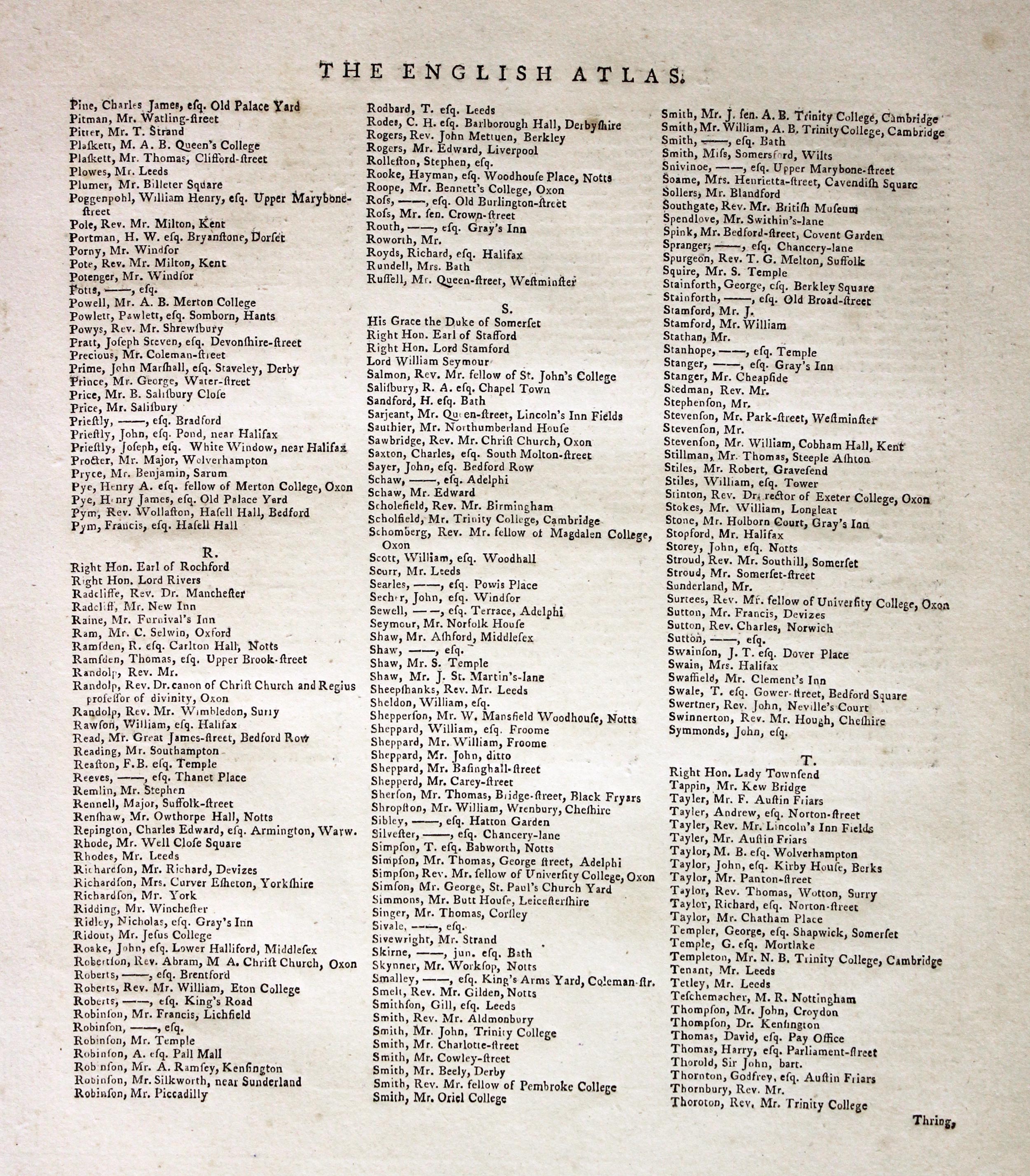
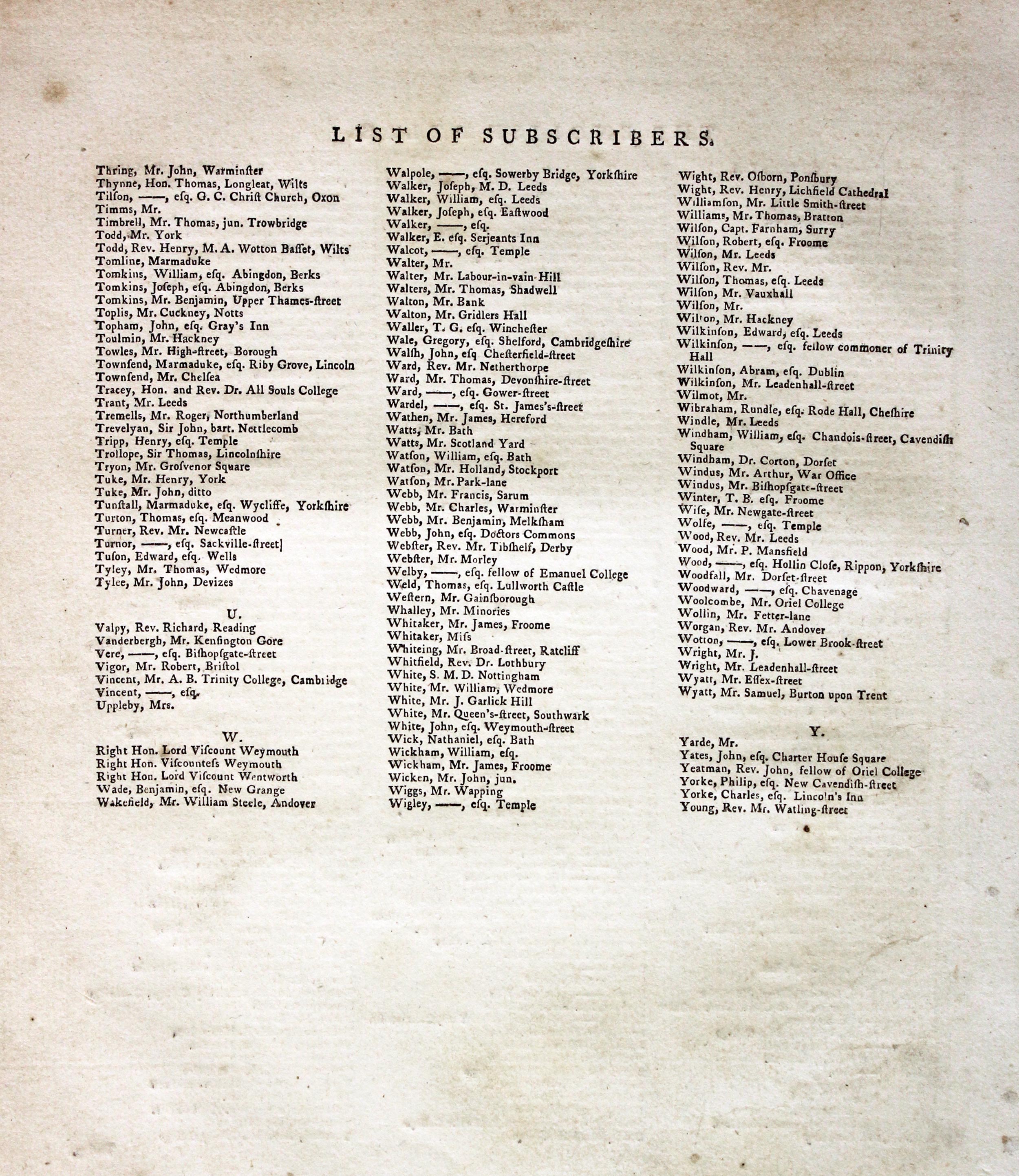
Subcribers to the First Edition
If you are thinking of buying this map you may be interested to see this list of the original subscribers to Cary's New and Correct English Atlas first published in 1787. It makes interesting reading and might even include one of your relatives.
-
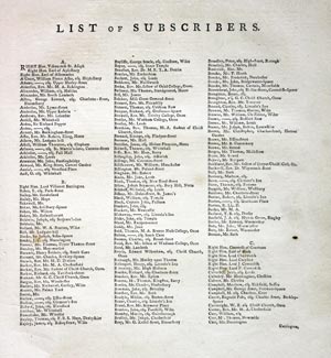
New and Correct English Atlas Subscribers
-

New and Correct English Atlas Subscribers
-
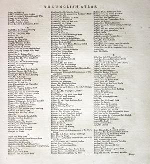
New and Correct English Atlas Subscribers
-
New and Correct English Atlas Subscribers
-
New and Correct English Atlas Subscribers
-
New and Correct English Atlas Subscribers
EAST RIDING OF YORKSHIRE
The FIRST EDITION of this detailed engraved map of the Riding. Title panel and compass rose combined. Cary's imprint beneath dated 1787. 10 1/4 x 8 1/4 inches. Original outline hand colouring. A little light soiling otherwise good condition. With this map is the original page of descriptive text.
From: Cary’s New and Correct English Atlas
19th Century
-

North Riding of Yorkshire John Cary 1787

31398 Yorkshire East Riding, Henry George Collins, 1868. Price: 14.00
YORKSHIRE EAST RIDING
A lithograph map of the Riding. Title panel. Scale and compass rose. 7 x 5 1/2 inches. Hand coloured. Good condition.
From: Travelling Atlas of England published by John Heywood in Manchester
19th Century - Early Hand Colouring
-
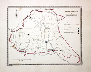
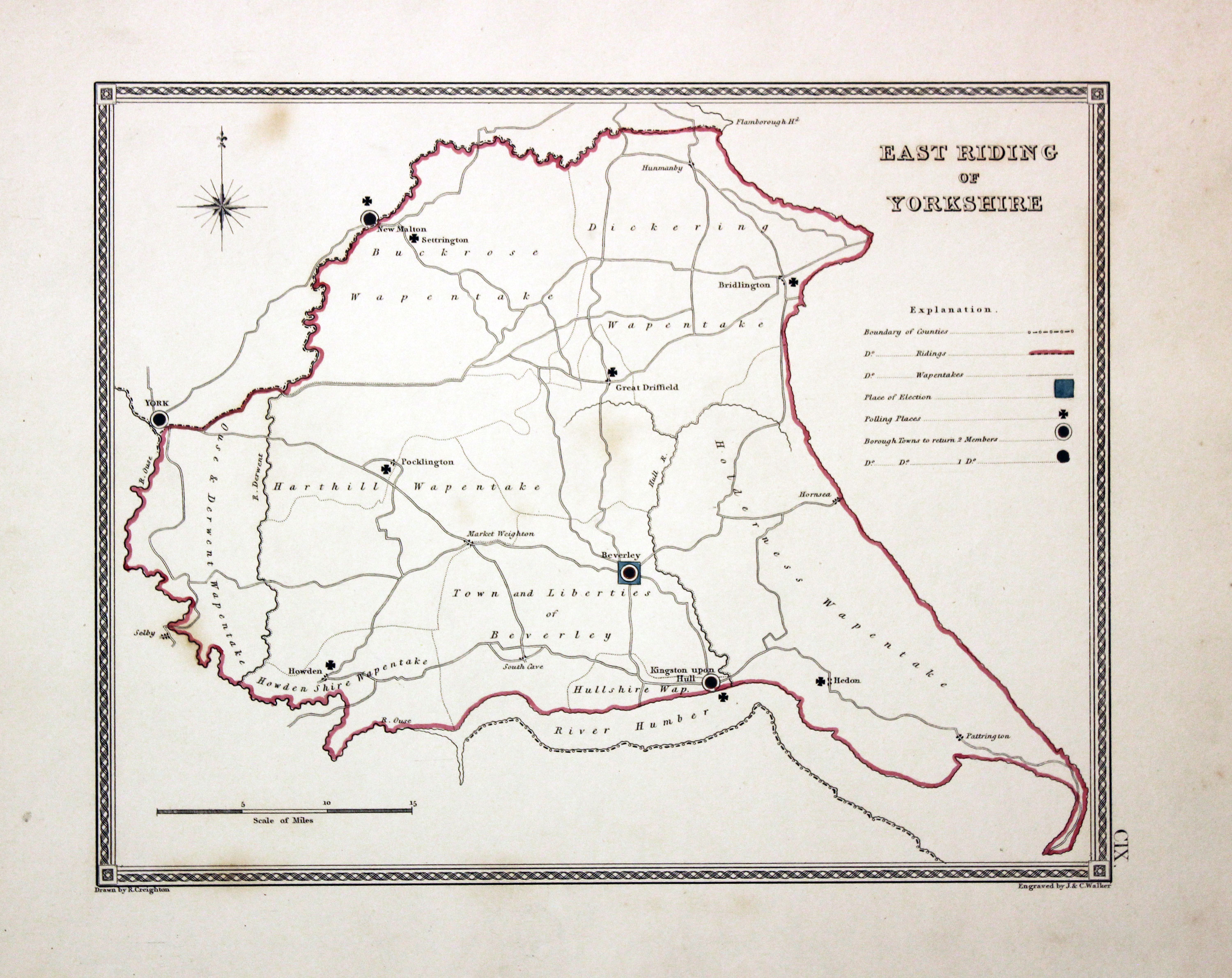
Yorkshire East Riding, Creighton/Walker, 1835

31396 Yorkshire East Riding, Creighton/Walker, 1835. Price: 13.00
EAST RIDING OF YORKSHIRE
In interesting engraved map of the Riding produced after the Reform Act of 1832 showing the electoral divisions. Drawn by R. Creighton and engraved by J. & C. Walker. Explanation, compass rose and scale. 9 1/4 x 7 1/4 inches. Original outline hand colouring. Good condition.
19th Century Town Plan
-

Plan of Hull John Bartholomew c.1900

31669 Hull, John Bartholomew, c.1900. Price: 10.00
HULL
A colour printed town plan on a scale of half a mile to the inch. 8 3/4 x 5 3/4 inches. Marked Plate 63 in the top right hand corner. Good condition.
From: Bartholomew’s Gazetteer of the British Isles
19th Century - Town Plan
-

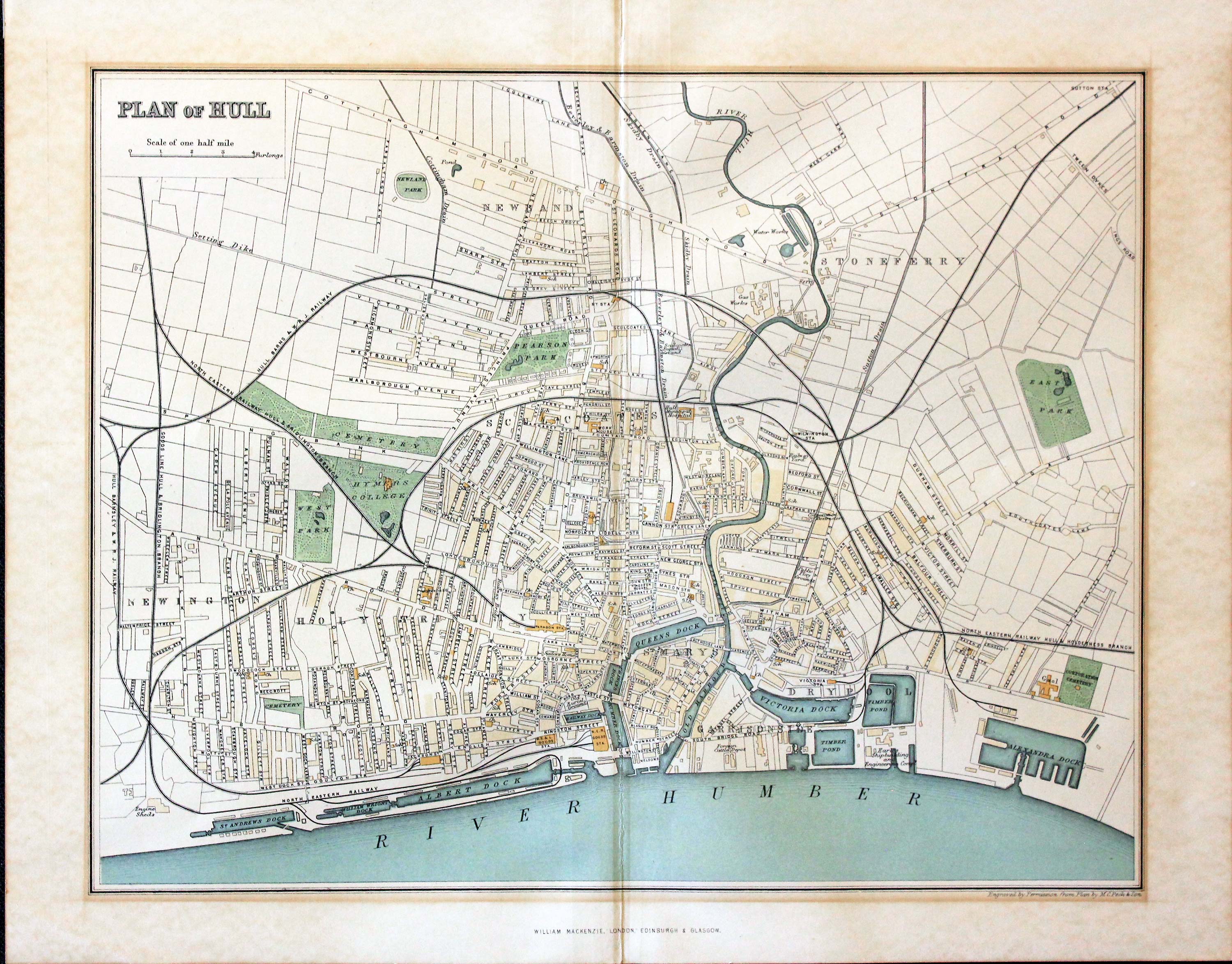
Plan of Hull William Mackenzie c.1895

31670 William Mackenzie, c.1895. Price: 14.00
HULL A colour printed town plan on a scale of half a mile to the inch. 11 x 8 1/2 inches inches. Publishers imprint below with Published by Permission from Plan by M. C. Peck & Son. Thin brown toning line around map probably caused by the map having been displayed in a mount for sometime. Toned on verso with evidence of a strip of tape across the top used to fix the plan into a mount. Otherwise good condition with no tears or repairs.
19th Century - Miniature
-

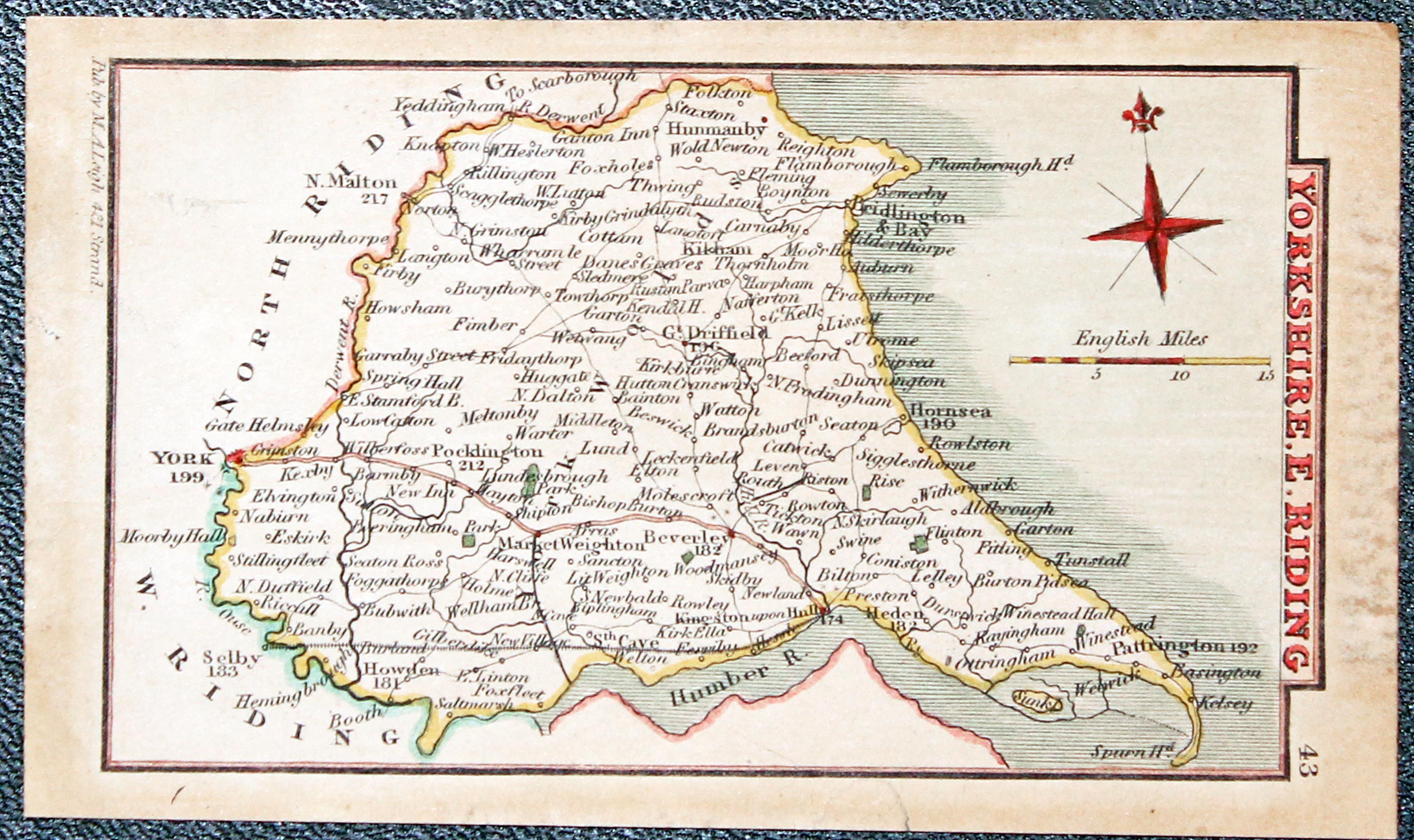
Yorkshire East Riding, Samuel Lea c.1833

31991 Yorkshire East Riding, Samuel Lea c.1833. Price: 13.50
YORKSHIRE. E. RIDING
A miniature engraved map of the East Riding of Yorkshire. Imprint of the publisher M. A. Leigh. 4 x 2 inches, 115 x 70 mm. Hand coloured. Some toning but good undamaged condition. From
From: Leigh's New Atlas of England and Wales
19th Century - Decorative
-

Yorkshire East Riding, Samuel Lea c.1833

32297 Yorkshire East Riding, Thomas Moule, c.1850. Price: 29.00
YORKSHIRE EAST RIDING
An engraved map of the East Riding set within a decorative border with pillars, inset view of Beverley Minster. Whte Rose of Yorkshire and two coats of arms. Lightly hand coloured.Trimmed close on the bottom left hand side. The map is partially stuck to a piece of grey mount card. Otherwise quite good condition. The map could be dropped into a sunk mount before framing.
From: Barclay’s Dictionary

19th Century - Town Plans
-

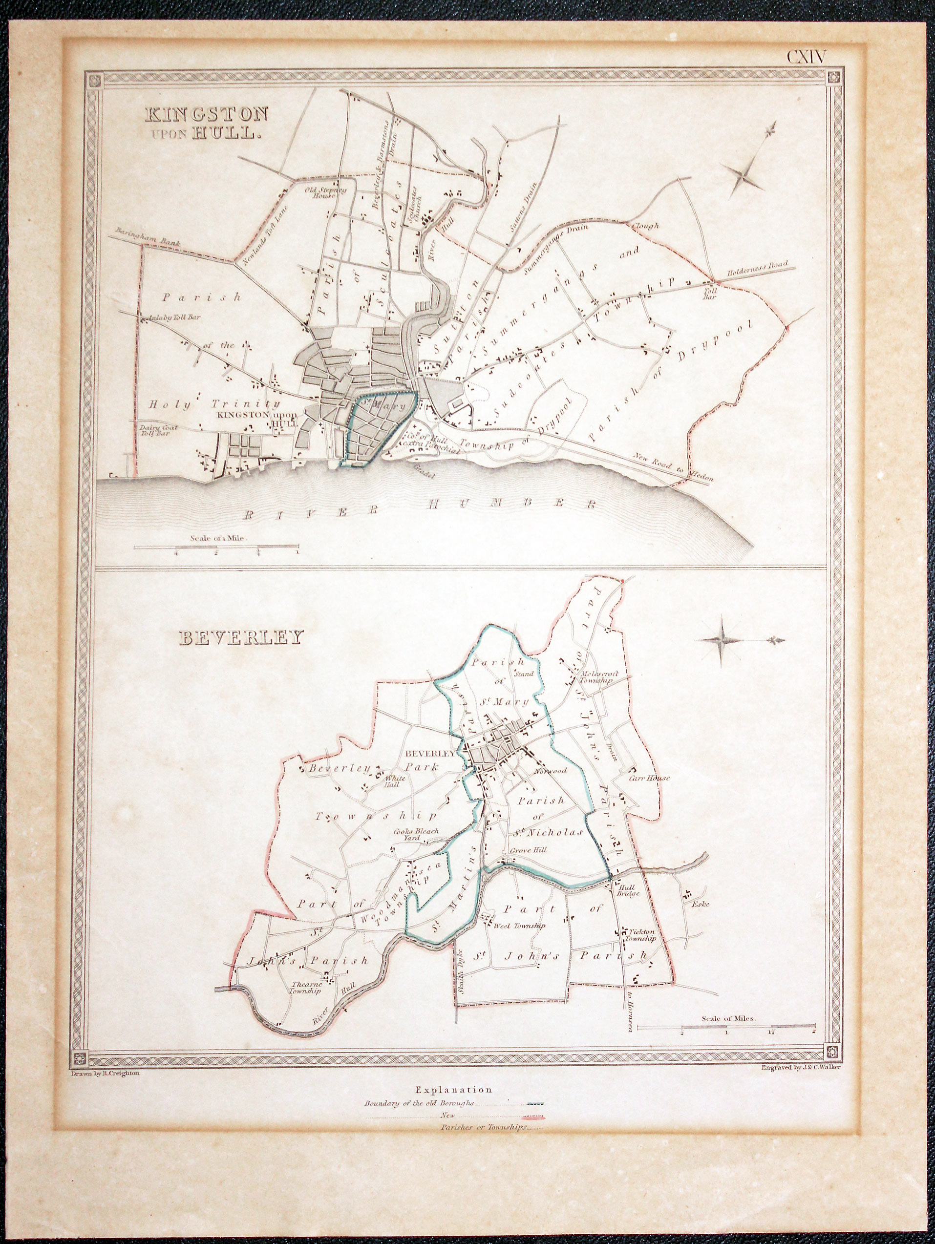
Hull and Beverley Plans, Samuel Lewis c.1835

32508 Hull and Beverley, Samuel Lewis, c.1835. Price: 12.50
KINGSTON UPON HULL / BEVERLEY
Two Parliamentary town plans on one sheet. Explanation beneath. Drawn by R. Creighton and engraved by J. & C. Walker. Published by Samuel LewisTogether they measure 9 1/4 x 7 inches. Original outline hand colouring. Diffference in colour of the paper as the map has been mounted and framed in the past. No tears or repairs.
From: View of the Representative History of England
SPECIAL PRICE
19th Century - Shows Railways
-

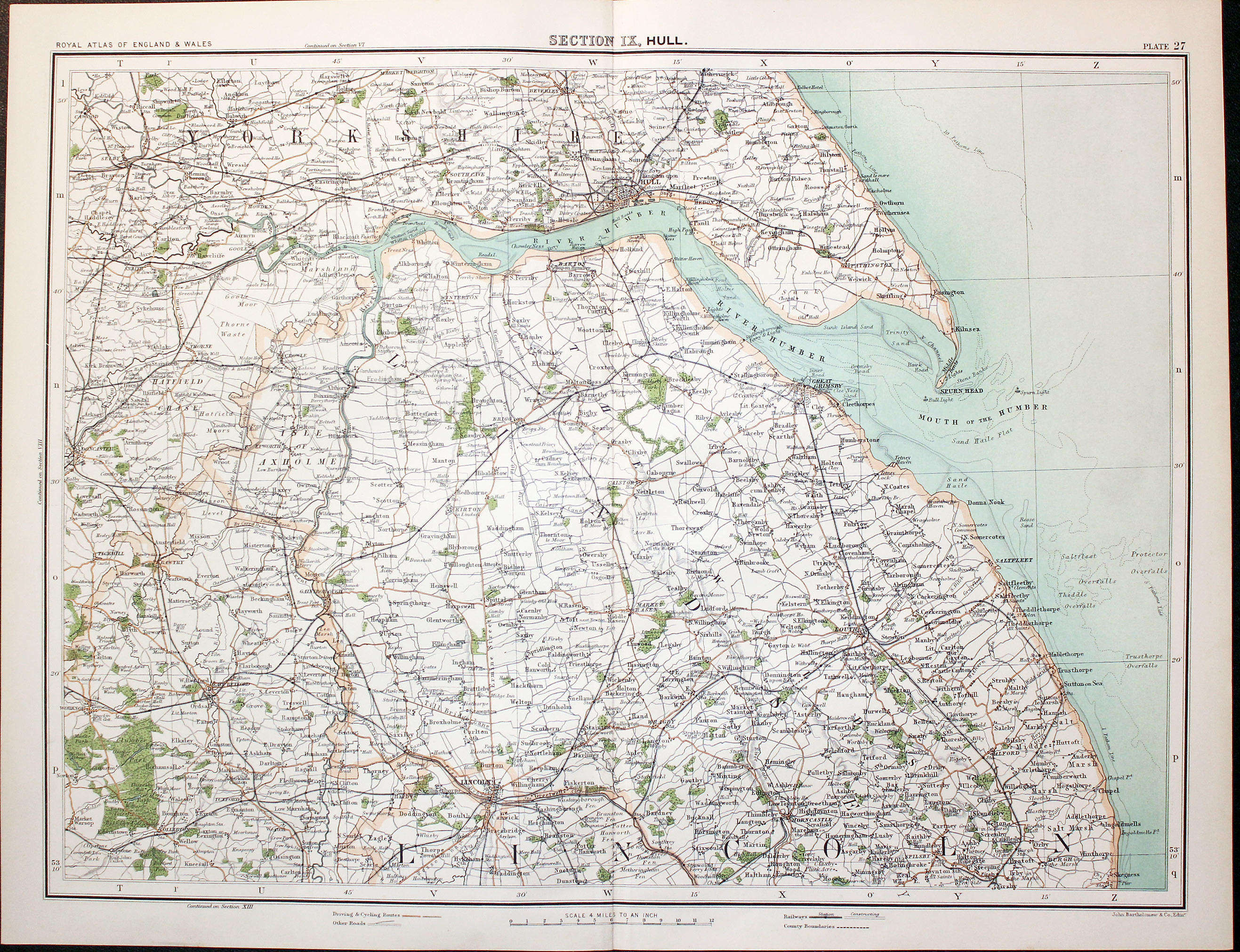
Part of Yorkshire and Lincolnshire, John Bartholomew, c.1898

32511 Part Yorkshire and Lincolnshire, John Bartholomew, c.1898. Price: 18.50
SECTION XII HULL
A colour printed map showing parts of Yorkshire and Lincolnshire with the River Humber and coastline. Scale of 4 miles to the inch. Shows the railways. Original centre fold. 16 3/4 x 12 1/2 inches. Fine clean condition.
From: The Royal Atlas
19th Century
-

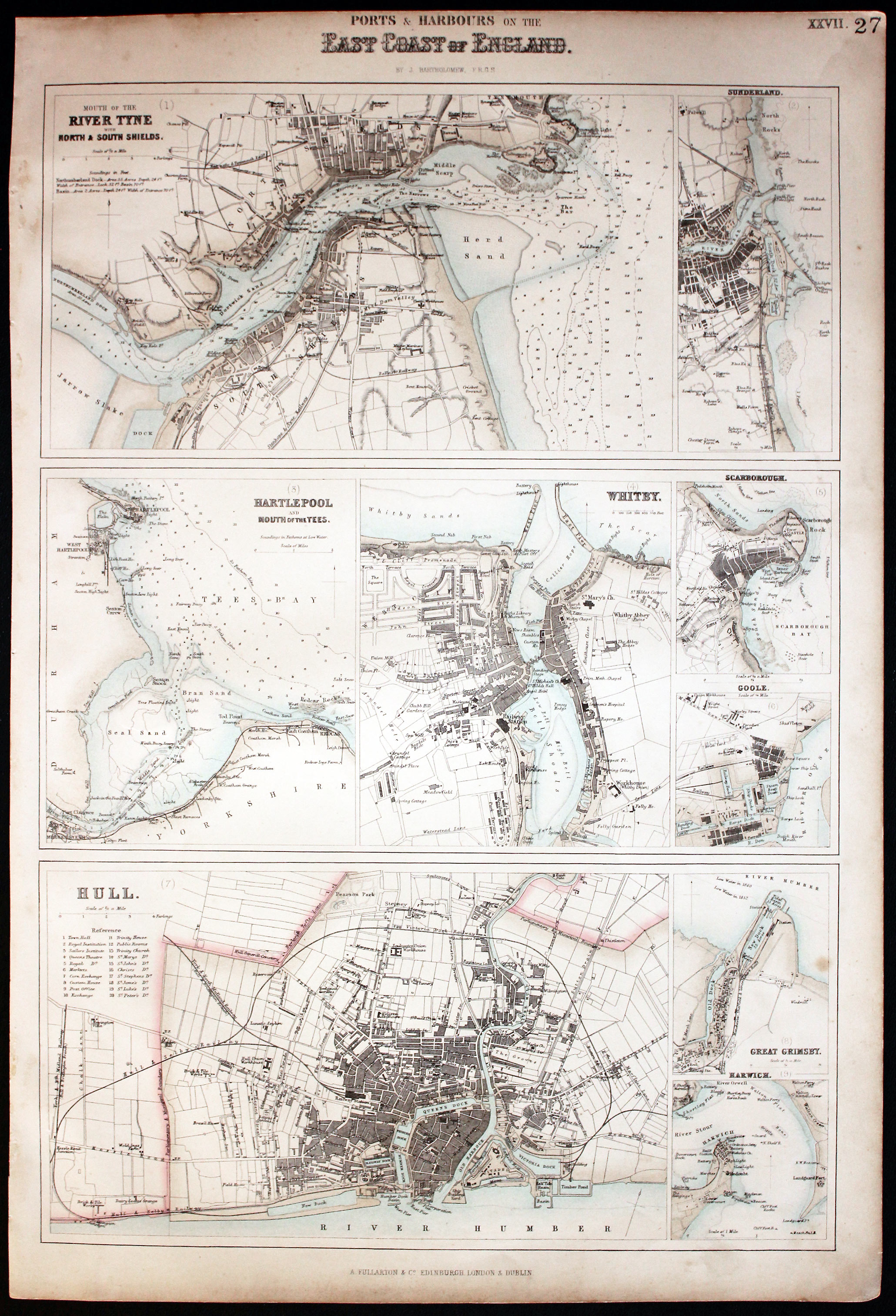
Ports and Harbours East Coast of England, Archibald Fullaton 1862

32539 Ports and Harbours East Coast of England, Archibald Fullarton 1862. Price: 45.00
MOUTH OF THE RIVER TYNE, SUNDERLAND, HARTLEPOOL, WHITBY, SCARBOROUGH, GOOLE, HULL, GREAT GRIMSBY, HARWICH
Nine colour printed maps of varying sizes on one sheet. Together they measure 11 1/2 x 16 3/4 inches.Little very light soiling around the edges otherwise good condition.
From: The Royal Illustrated Atlas published by Archibald Fullarton and Company
19th Century
-

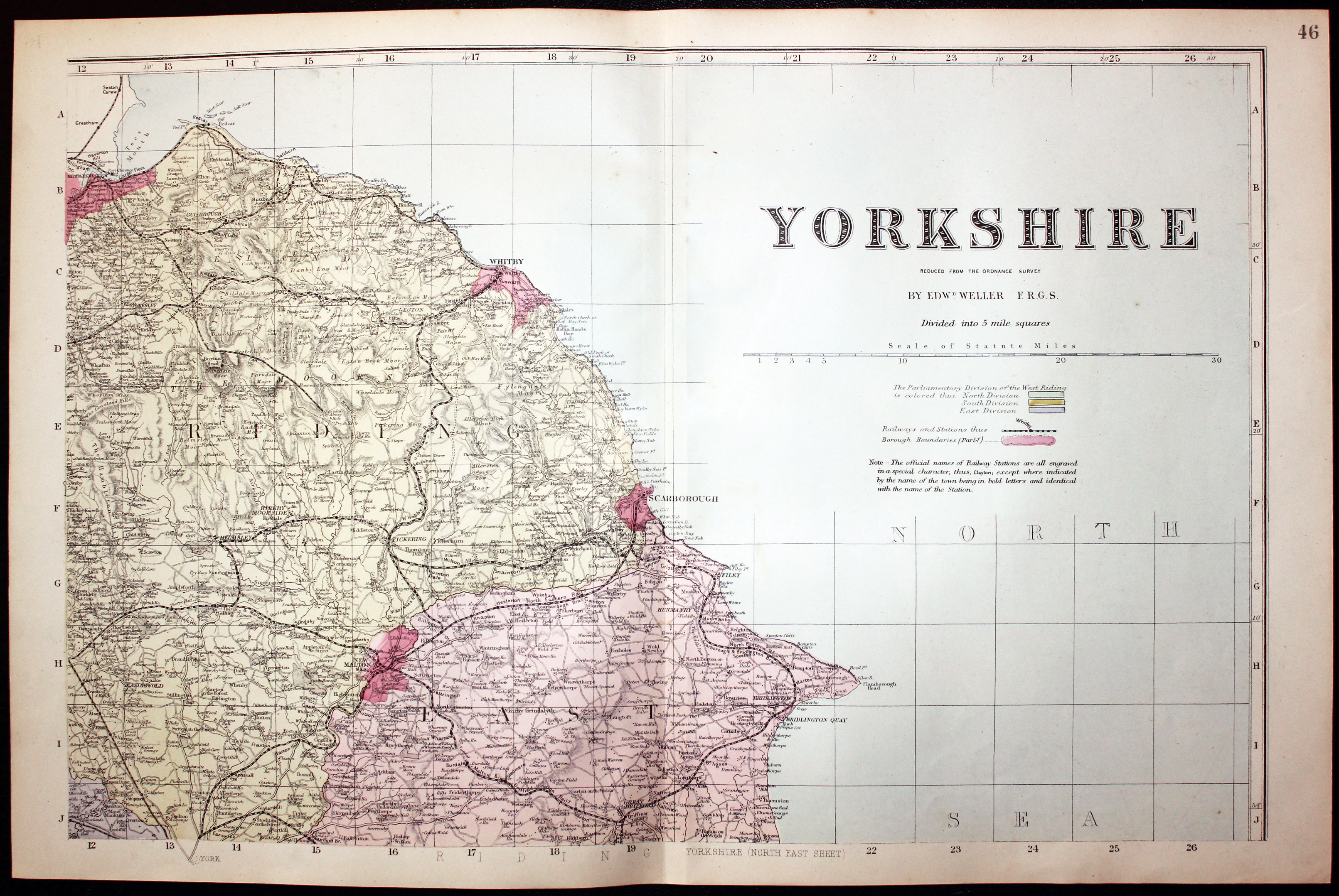
North East Sheet Yorkshire by Edward Weller 1883
-

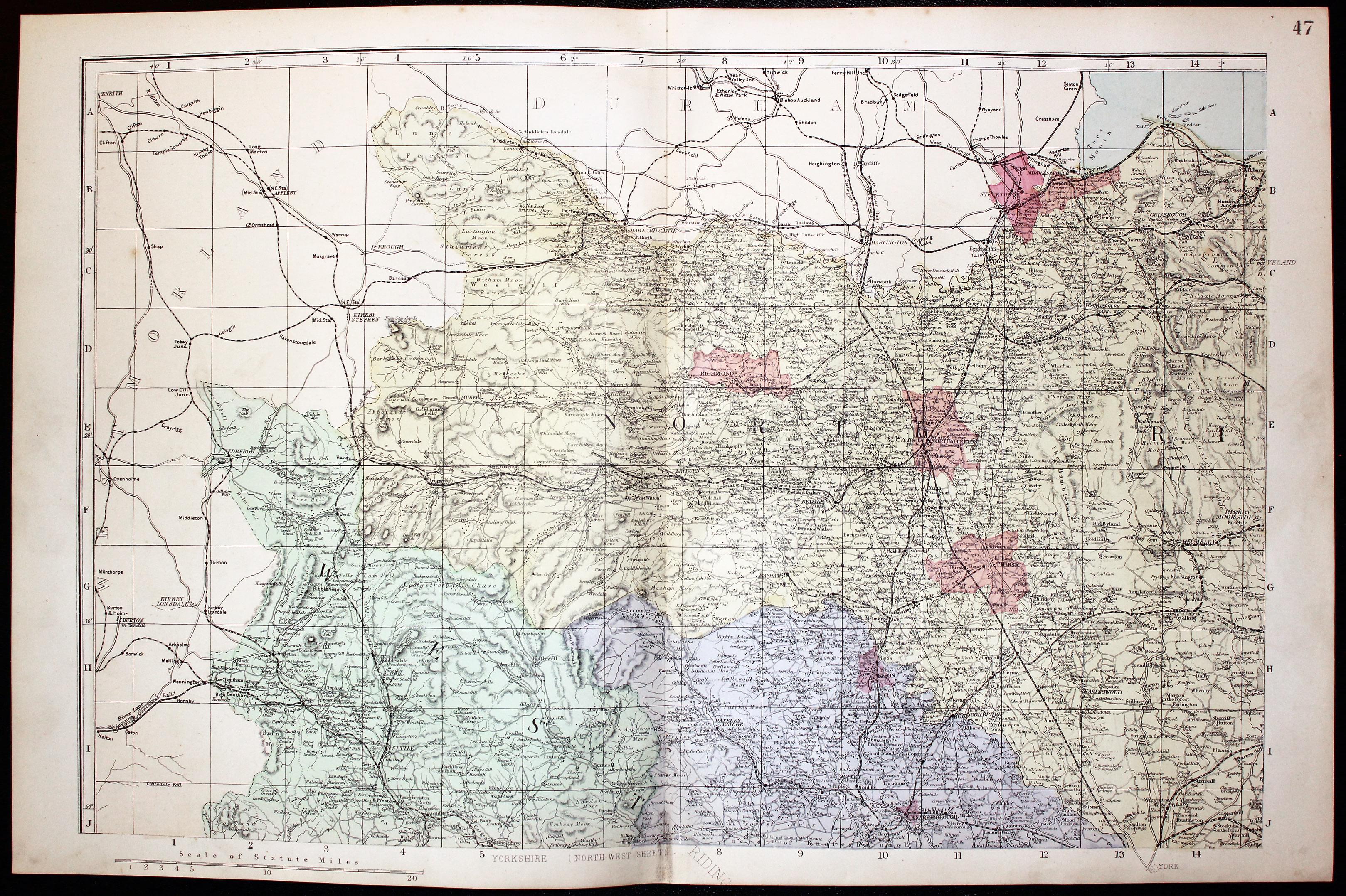
North West Sheet Yorkshire by Edward Weller 1883
-

South West Sheet Yorkshire by Edward Weller 1883
-

South East Sheet Yorkshire by Edward Weller 1883

32534 Yorkshire, Edward Weller, c.1883. Price: 32.00
YORKSHIRE REVISED ACCORDING TO THE LATEST ORDNANCE SURVEY. DIVIDED INTO 5 MILE SQUARES
A good detailed late 19th century colour printed map of the county on four sheets. Shows the railways. Original centre fold to each sheet. Each map 18 x 11 3/4 inches. Good clean condition.
From: The New Ordnance Atlas of the British Isles
19th Century - Decorative
-

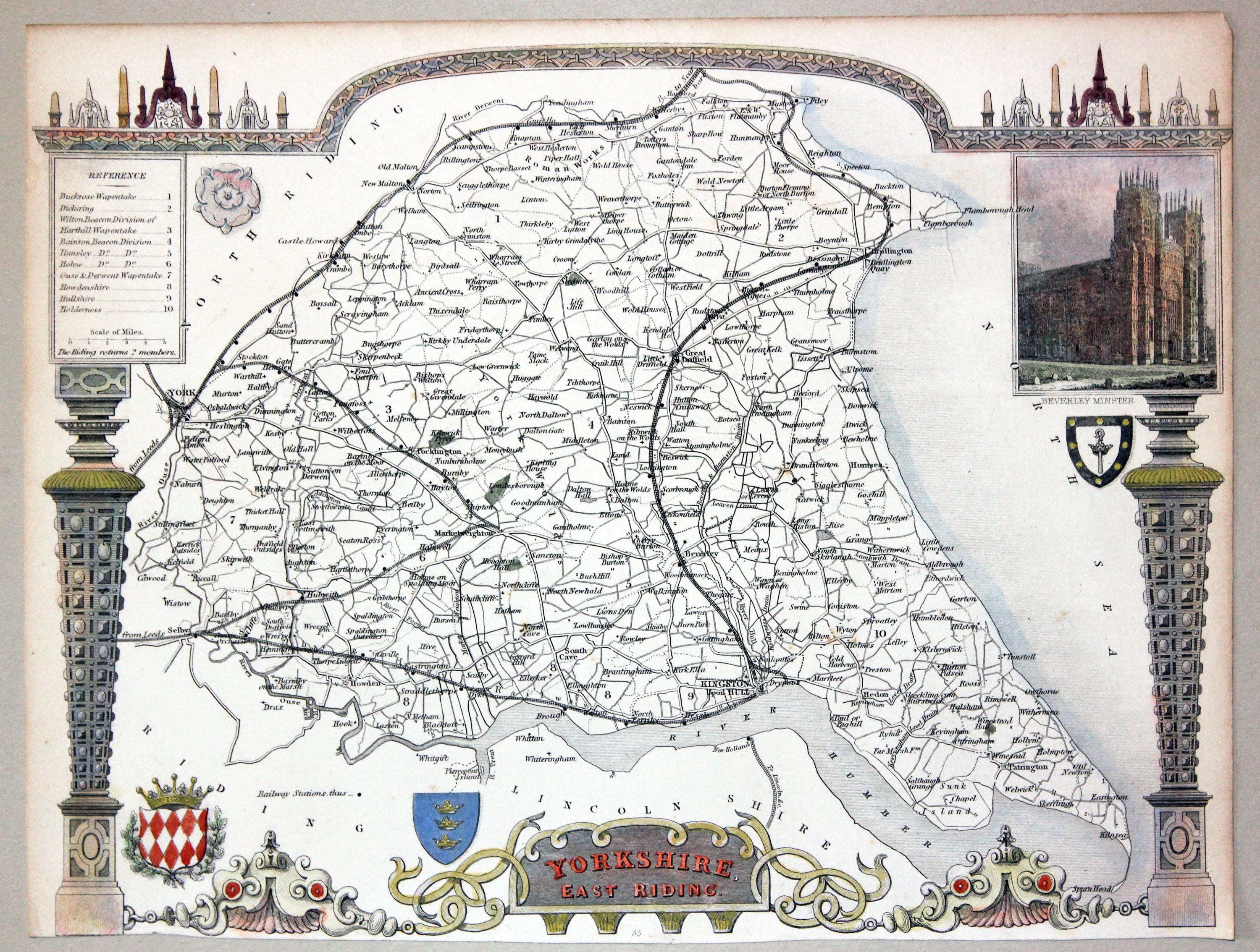
Map of East Riding Yorkshire, Thomas Moue c.1850

32595 Yorkshire East Riding, Thomas Moule c.1850. Price: 37.00
YORKSHIRE EAST RIDING
An engraved map of the East Riding set within a decorative border with pillars, inset view of Beverley Minster. Whte Rose of Yorkshire and two coats of arms. Hand coloured. 10 1/4 x 8 inches. Good condition.
From: Barclay's Complete & Universal English Dictionary
19th Century
-

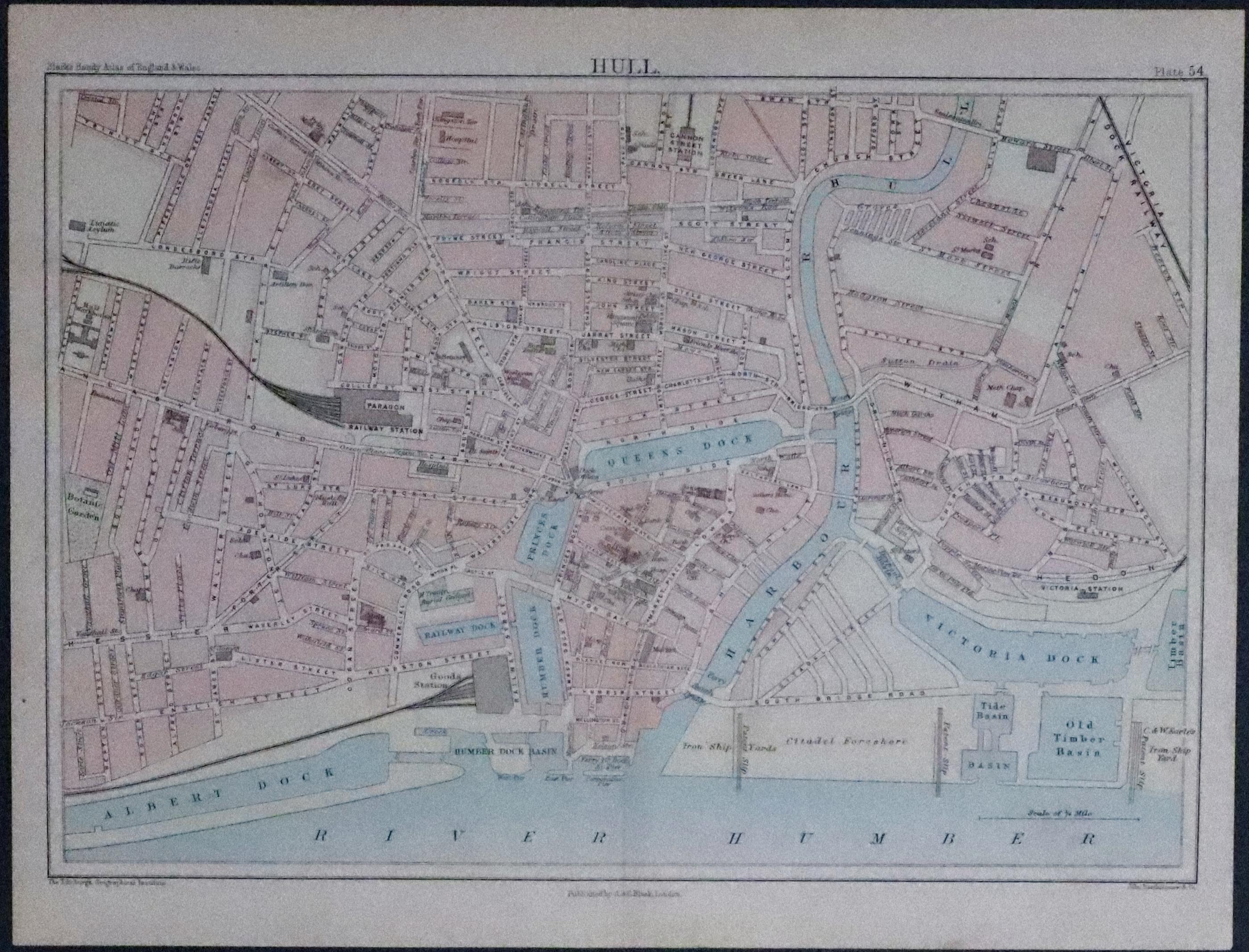
Plan of Hull, John Bartholomew, c.1891

33243 Hull, John Bartholomew, c.1891. Price: 7.00
HULL
A small late 19th century coloured town plan of Hull. I9 3/4 x 6 3/4 inches. Original centre fold. Good condition.
From: Blacks Handy Atlas of England and Wales
18th Century - First Edition
-

East Riding of Yorkshire, Robert Morden 1695
33514 East Riding of Yorkshire, Robert Morden 1695. Price: 96.00
THE EAST RIDING OF YORKSHIRE by ROBERT MORDEN
The FIRST EDITION of this good detailed late 17th century map of the Riding embellished with a decorative title cartouche. Three scales. Imprint of the publishers Abel Swale with Awnsham and John Churchill.. 16 x 14 inches, 420 x 355 mm. Uncoloured. Original centre fold. Nice dark impression. Good condition. Imprint of the publishers Abel Swale, Awnsham & John Churchill. This map has been taken straight from the atlas and therefore not previously offered for sale as a single map.
From: Camden's Britannia
