Antique Maps of Yorkshire
North Riding
Richard Nicholson of Chester
A World of Antique Maps and Prints

Established in 1961
All the Maps on this page are guaranteed to be genuine early specimens
published in or around the year stated
17th Century
-

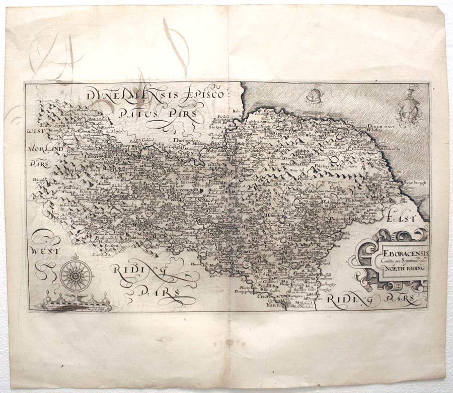
Yorkshire North Riding, William Hole, 1637

28136 Yorkshire North Riding, William Hole, 1637. Price: 180.00
EBORACENSIS Comitatus pars Septrionalis vulgo NORTH RIDING
An early map of the North Riding engraved by William Hole after a survey by Christopher Saxton. Title cartouche. Scale cartouche with compass rose. Two ships. 13 x 7 inches. Uncoloured. Small hole in the side bottom blank margin repaired. Some scrolled lettering on verso which show through towards the top left hand side of the map. A similar small area of very light brown appears in the panel beneath the compass rose. Other than these faults the map is on good crisp paper with full wide original untrimmed margins.
From: Camden's Britannia
The Most Famous English Mapmaker - John Speed
-

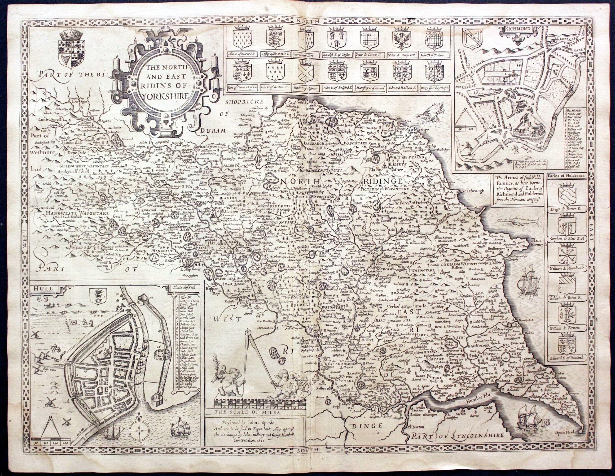
North and East Ridings of Yorkshire, John Speed 1646

29867 North and East Ridings of Yorkshire, John Speed 1646. Price: 400.00
THE NORTH AND EAST RIDINS OF YORKSHIRE
A fine decorative early 17th century map of the two Ridings published in London by John Sudbury and George Humble. Inset town plans of Richmond and Hull. Twenty five coats of arms. List of towns and villages with a description in English on verso. 20 x 15 inches. Uncoloured. Old repair on verso to the bottom of the centre fold on left possible to repair a small tear which is not noticeable now. Otherwise good clean condition. This map has just been taken from the atlas and not sold as a single map before.
From: Theatre Empire of Great Britaine
19th Century
-

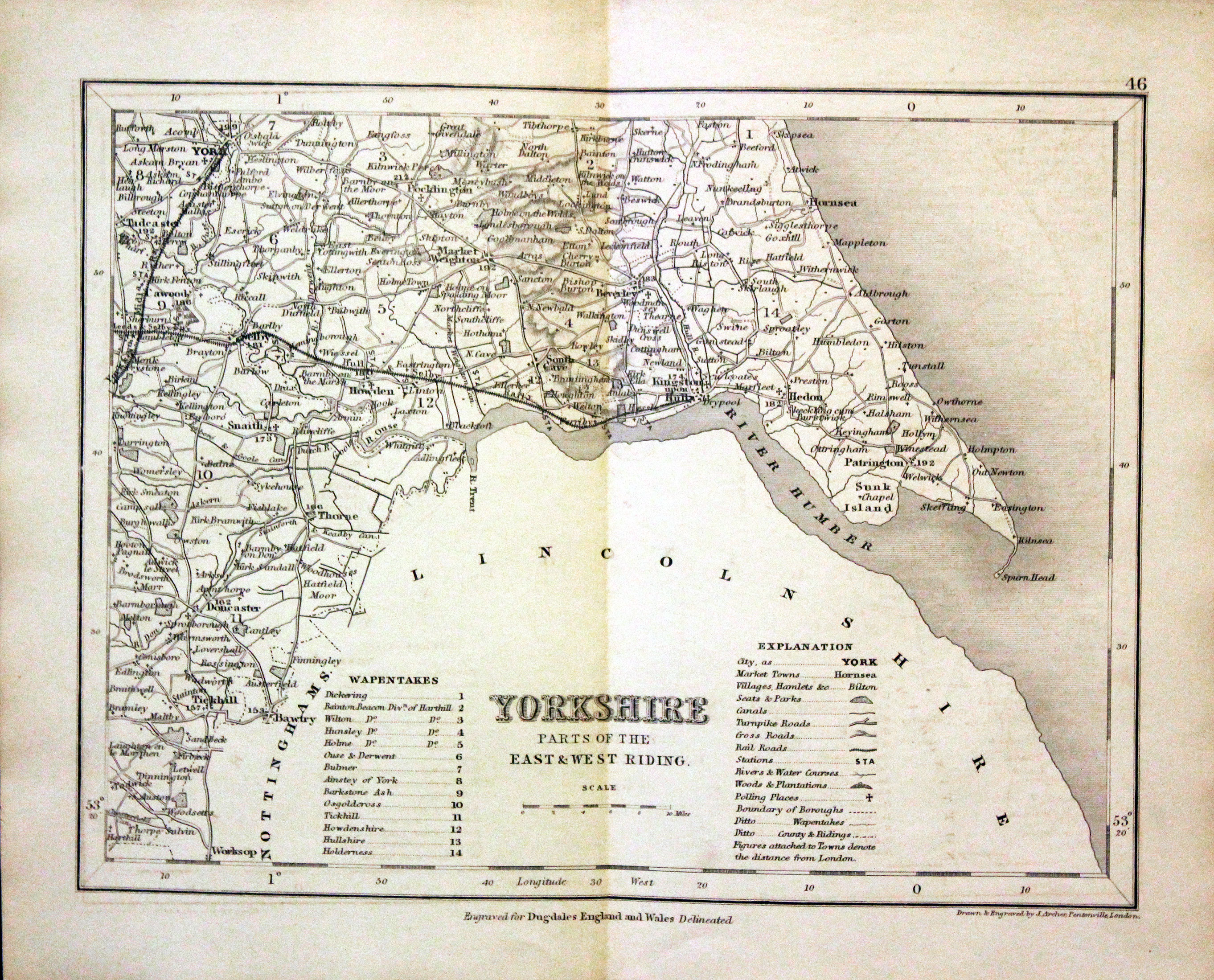
Part of Yorkshire East & West Ridings, Joshua Archer, c.1845

30369 Part of Yorkshire East & West Ridings, Joshua Archer, c.1845. Price: 12.50
YORKSHIRE PART OF THE EAST & WEST RIDING
A detailed engraved map with explanation and list of wapentakes. 9 x 7 inches. Uncoloured. Lightly toned. Good condition.
From: Dugdale’s England and Wales Delineated
Early 19th Century - Original Hand Colouring
-

Part of Yorkshire North Riding, George Cole and John Roper, 1810

30540 Part of Yorkshire North Riding, George Cole and John Roper, 1810. Price: 39.00
YORKSHIRE; NORTH RIDING &c
An engraved map of north east Yorkshire. Includes Whitby, Scarborough, Bridlington and York. Explanation and list of wapontakes. Publisher's imprint dated 1809. 9 x 6 inches. Early hand colouring. Good condition. Straight from the atlas and not sold as a single map before. With original page of descriptive text.
From: British Atlas
18th Century - County and Road Map
-

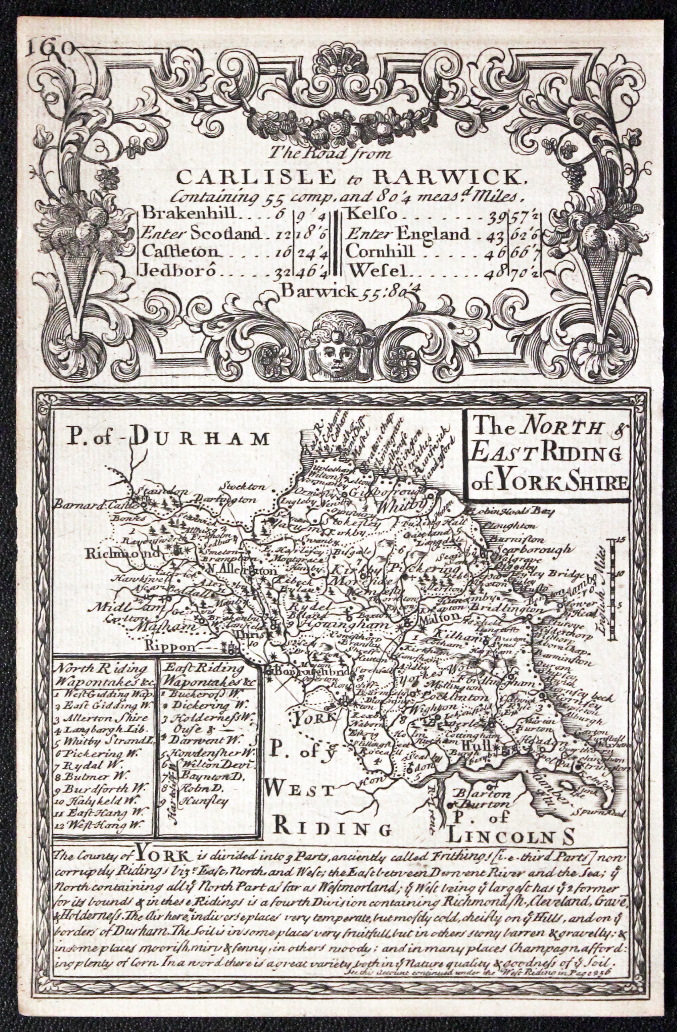
Yorkshire North and East Ridings, John Owen and Emanuel Bowen c.1730
-

Road from Northampton to Coventry by John Owen and Emanuel Bowen c.1730

32334 North and East Ridings, John Owen and Emanuel Bowen, c.1730. Price: 35.00
The NORTH & EAST RIDING of YORK SHIRE
An engraved map with description and list of wapontakes, surmounted by a decorative cartouche. Road map on verso from Northampton to Coventry. 4 x 7 inches. Uncoloured on both sides. Nice dark impression but with small blank margins. Some slight adhesion on the edge of road map but otherwise good clean condition.
From: Britannia Depicta
18th Century - County and Road Map
-

Antique map of Yorkshire North and East Ridings, John Owen and Emanuel Bowen 1753
-

Road from Northampton to Coventry by John Owen and Emanuel Bowen c.1730
32447 North and East Ridings, John Owen and Emanuel Bowen, 1753. Price: 42.00
The NORTH & EAST RIDING of YORK SHIRE
An engraved map f the two Ridings with description and list of wapontakes, surmounted by a decorative cartouche titled The Road from Carlisle to Rarwick. Road map on verso from Northampton to Coventry. 4 x 7 inches. Uncoloured. Good clean conditin. This map has just been taken from the atlas and therefore not sold previously as a single map.
From: Britannia Depicta


PROVENANCE
At some time part of the Townsend Family library
19th Century - Decorative
-
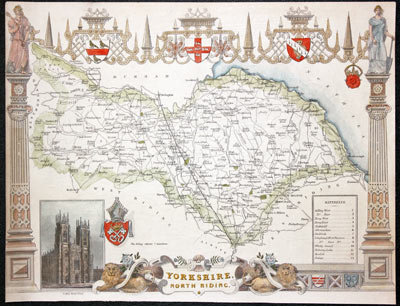
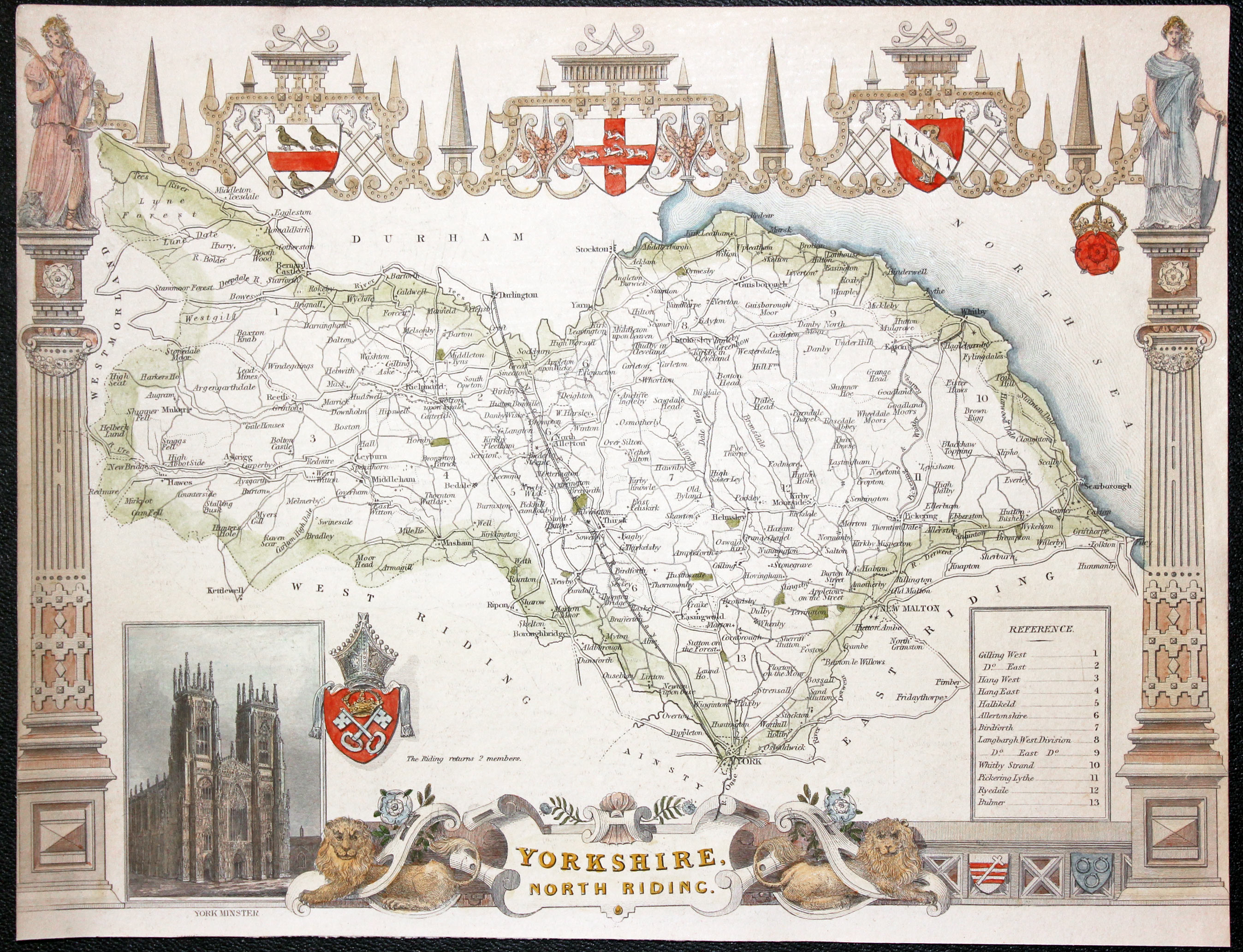
Antique map of Yorkshire North Riding, Thoms Moule c.1850

32588 North Riding, Thomas Moule c.1850. Price: 42.00
YORKSHIRE NORTH RIDING
An engraved map set within a decorative elaborate border with pillars, strapwork and coats of arms. Inset view of York Minster. 10 1/2 x 8 inches. Hand coloured. Little to no blank margins on the left and right sides as published. Otherwise good condition.
From: Barclay's Complete & Universal English Dictionary
19th Century - Decorative
-

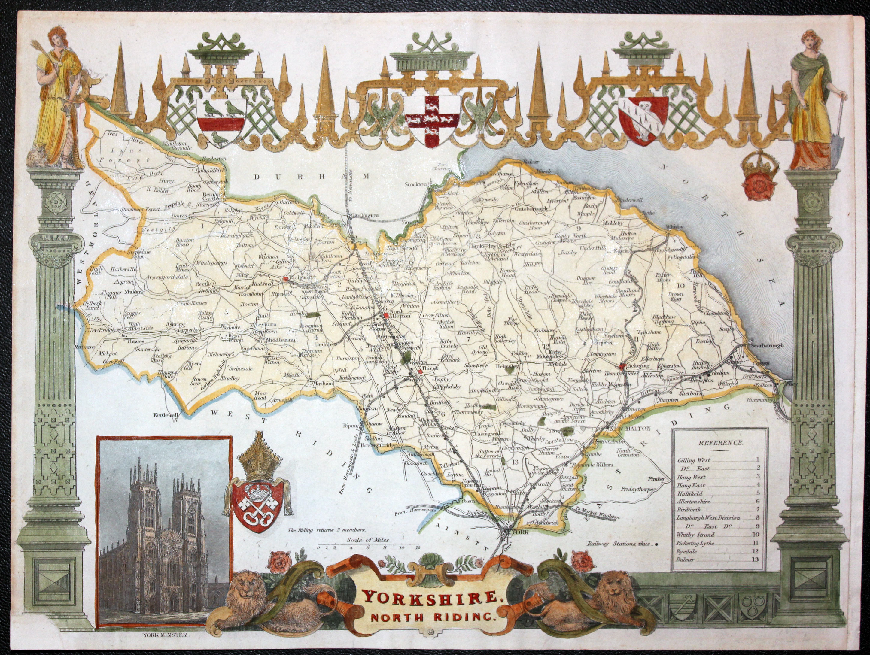
Antique map of North Riding of Yorkshire, Thoms Moule c.1850

32596 North Riding, Thomas Moule c.1850. Price: 42.00
YORKSHIRE NORTH RIDING
An engraved map set within a decorative elaborate border with pillars, strapwork and coats of arms. Inset view of York Minster. 10 1/2 x 8 inches. Hand coloured. Small area of the bottom of the left hand pillar repaired with slight loss of engraved area. The right hand side blank margin is small as published but an additional margin strip has been pasted on to make it wider. Otherwise good condition.
From: Barclay's Complete & Universal English Dictionaryon
19th Century
-

Antique map of North Riding of Yorkshire, Thoms Moule c.1850

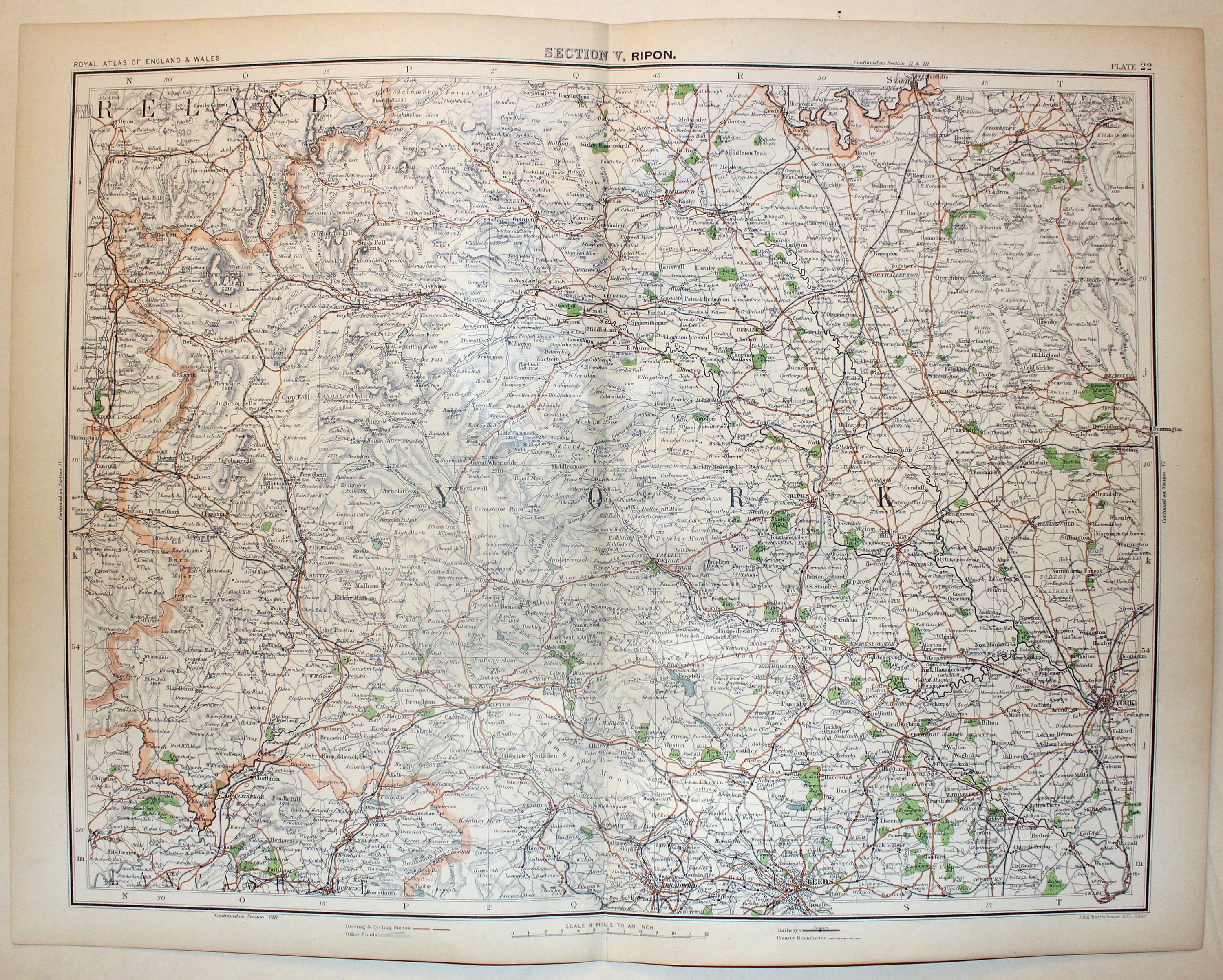
32746 Ripon and Surrounding Area, John Bartholomew, c.1898. Price: 18.50
SECTION V, RIPON
A colour printed map showing part of Yorkshire from Sedbergh and Richmond in the north to Bradford, Leeds and York in the south and including York. Scale of 4 miles to the inch. Shows the railways. Centre fold as issued. 16 1/2 x 12 1/2 inches. Good clean condition.
From: The Royal Atlas
19th Century
-

Map of North Riding of Yorkshire by Thomas Letts

32996 Yorkshire - North Riding, Thomas Letts, 1884. Price: 28.00
N. RIDING
A detailed chromolithograph map of the Riding. Explanation plus statistics concerning Population, Area, Inhabited Houses, Poor Rate and Paupers. 15 1/2 x 12 1/2 inches. Original centre fold. Imprint of Letts & Son beneath. Fine clean condition. Straight from the atlas so never previously been sold as a single map.
From: Lett’s Popular County Atlason
18th Century
-
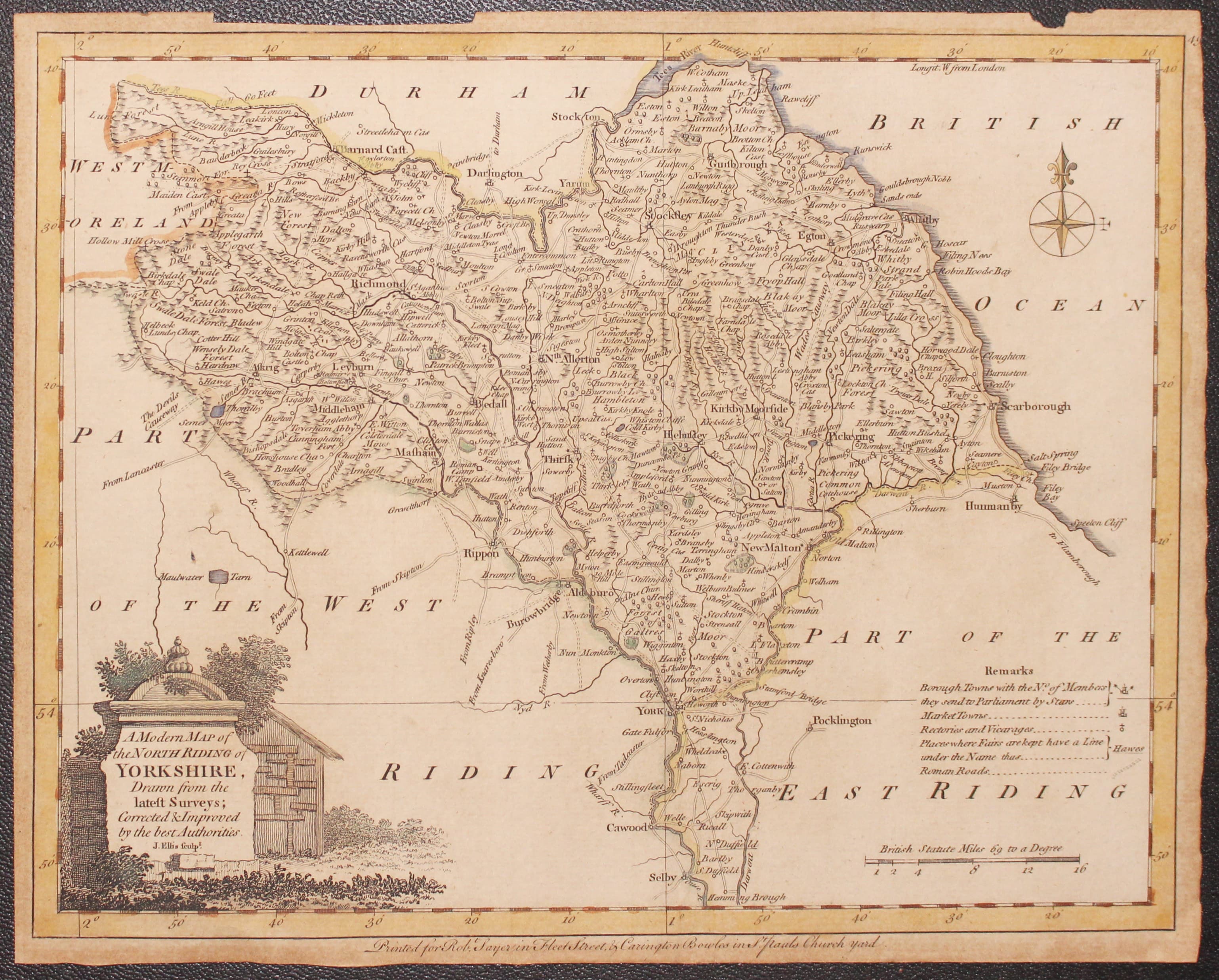
Map of North Riding of Yorkshire by John Ellis 1777

33004 Yorkshire - North Riding, Joseph Ellis c.1777, Price: 19.00
A MODERN MAP OF THE NORTH RIDING OF YORKSHIRE, DRAWN FROM THE LATEST SURVEYS; CORRECTED & IMPROVED BY THE BEST AUTHORITIES. J. ELLIS SCULPT
An engraved map of the Riding embellished with a pictorial title cartouche. Imprint of Carington Bowles and Robert Sayer. 9 1/2 x 7 1/2 inches. Hand coloured. Toned all over with small blank margins. Small pieces of the top blank margin missing. Tiny hole in blank area of the map. Light vertical crease.
Special price
Probably from Ellis's English Atlas or A Compleat Chorography of England and Wales in 50 Maps
18th Century - First Edition
-

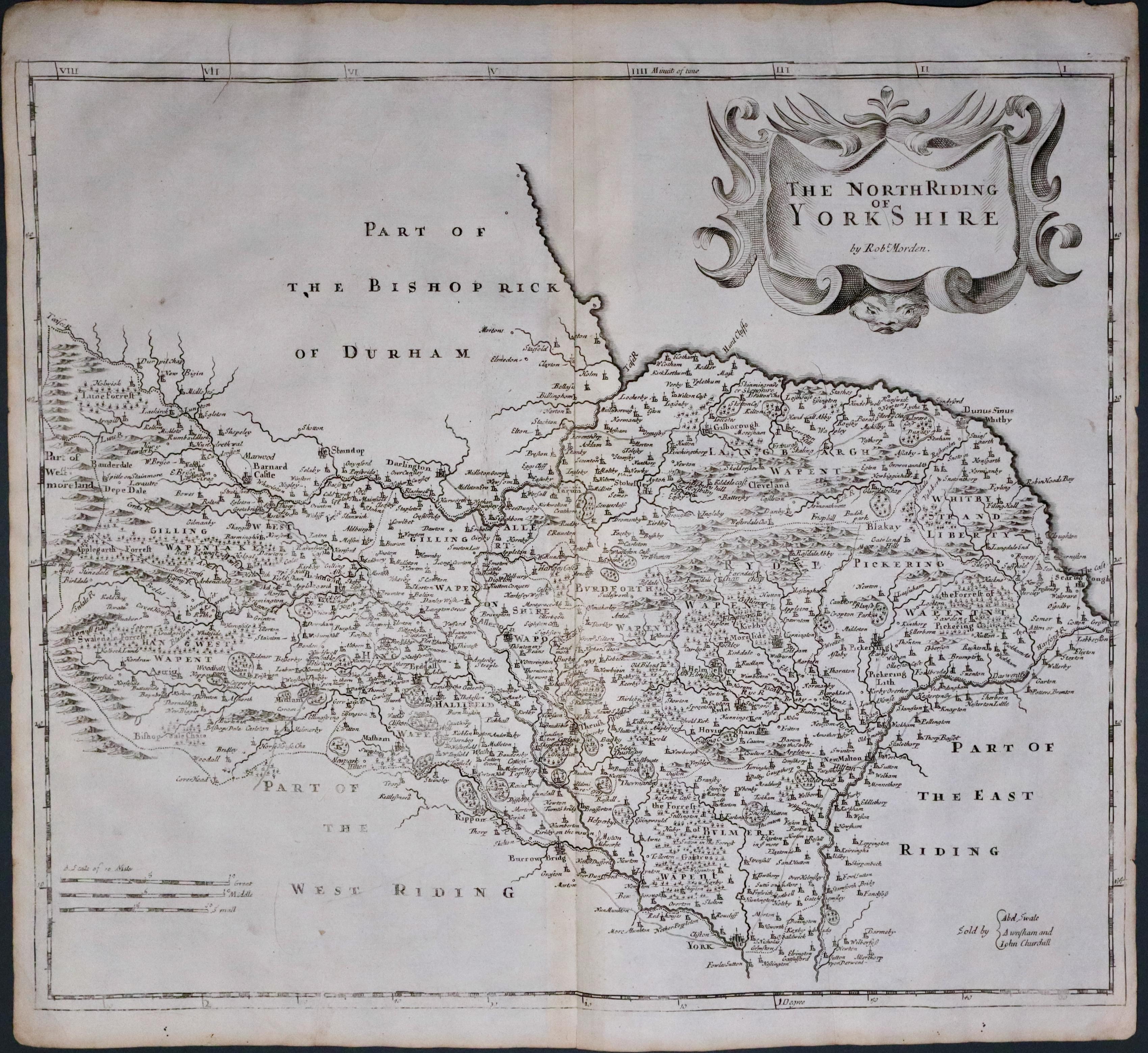
Yorkshire North Riding, Robert Morden 1695
33515 Yorkshire North Riding, Robert Morden 1695. Price: 115.00
THE NORTH RIDING OF YORKSHIRE BY ROBT. MORDEN
The FIRST EDITION of this good late 17th century engraved map of the Riding embellished with a decorative title cartouche. Three scales. Imprint of the publishers Abel Swale with Awnsham and John Churchill. 16 1/2 x 14 1/4 inches, 415 x 360 mm. Imprint of the publishers Abel Swale, Awnsham & John Churchill. Original centre fold. Good condition. One of the first maps of the county to show the main coach roads following Ogilby’s survey some 20 years earlier.
From: Camden's Britannia
