Antique Maps of Ireland
Richard Nicholson of Chester
A World of Antique Maps and Prints
Established in 1961
All the Maps on this page are guaranteed to be genuine early specimens
published in or around the year stated
19th Century - Unusual Miniature
-
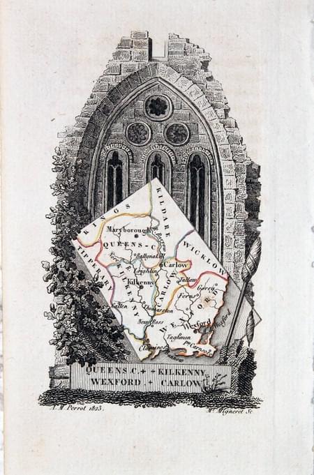
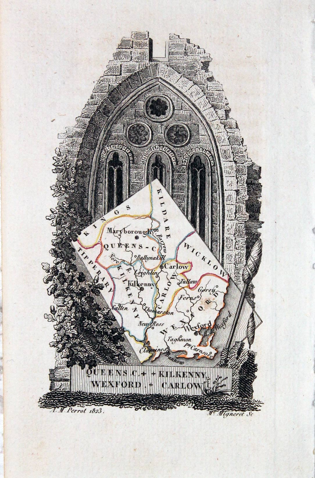
Queens, Kilkenny, Wexford, Carlow, Aristide Michel Perrot, 1824

12836 Queens, Kilkenny, Wexford, Carlow, Aristide Michel Perrot, 1824. Price: 42.00
Queens C. + Kilkenny, Wexford + Carlow
An unusual miniature engraved map of the four counties set within a decorative uncoloured cartouche. Imprint of A. M. Perrot dated 1823 and the engraver Mme. Migneret. About 2 3/4 x 4 1/4 inches. Original outline hand colouring. Good condition.
From: L'Angleterre ou Description Historique et Topographique du Royaume uni de la Grande-Bretagne

19th Century - Unusual Miniature
-
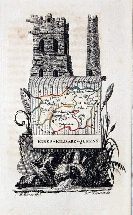
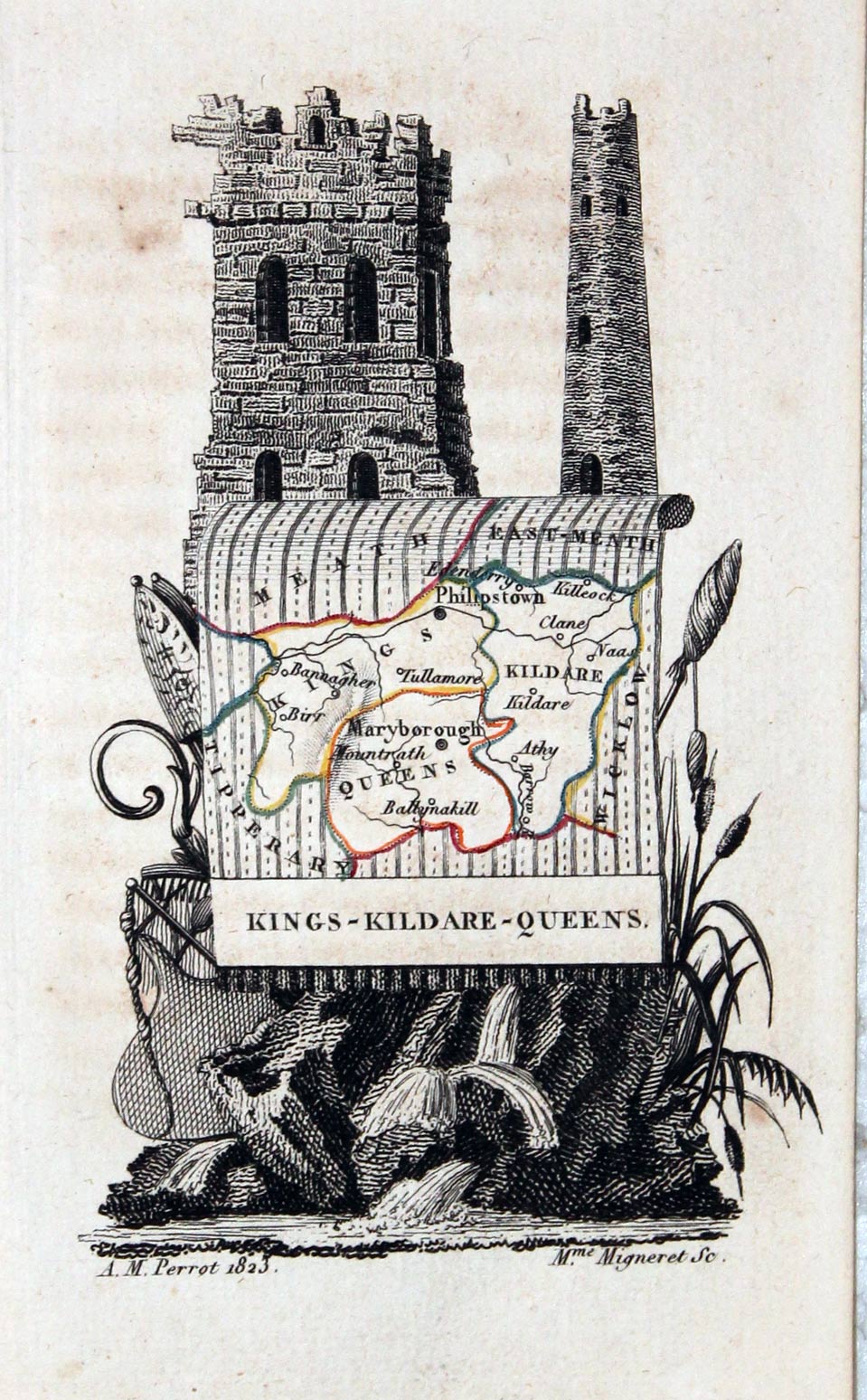
Kings, Kildare, Queens Counties. Aristide Michel Perrot, 1824

12837 Kings, Kildare, Queens Counties. Aristide Michel Perrot, 1824. Price: 42.00
Kings, Kildare, Queens
An unusual miniature engraved map of the three counties set within a decorative uncoloured cartouche. Imprint of A. M. Perrot dated 1823 and the engraver Mme. Migneret. About 2 3/4 x 4 1/4 inches. Original outline hand colouring. Good condition.
From: L'Angleterre ou Description Historique et Topographique du Royaume uni de la Grande-Bretagne
17th Century - Miniature
-
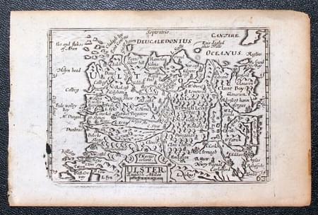
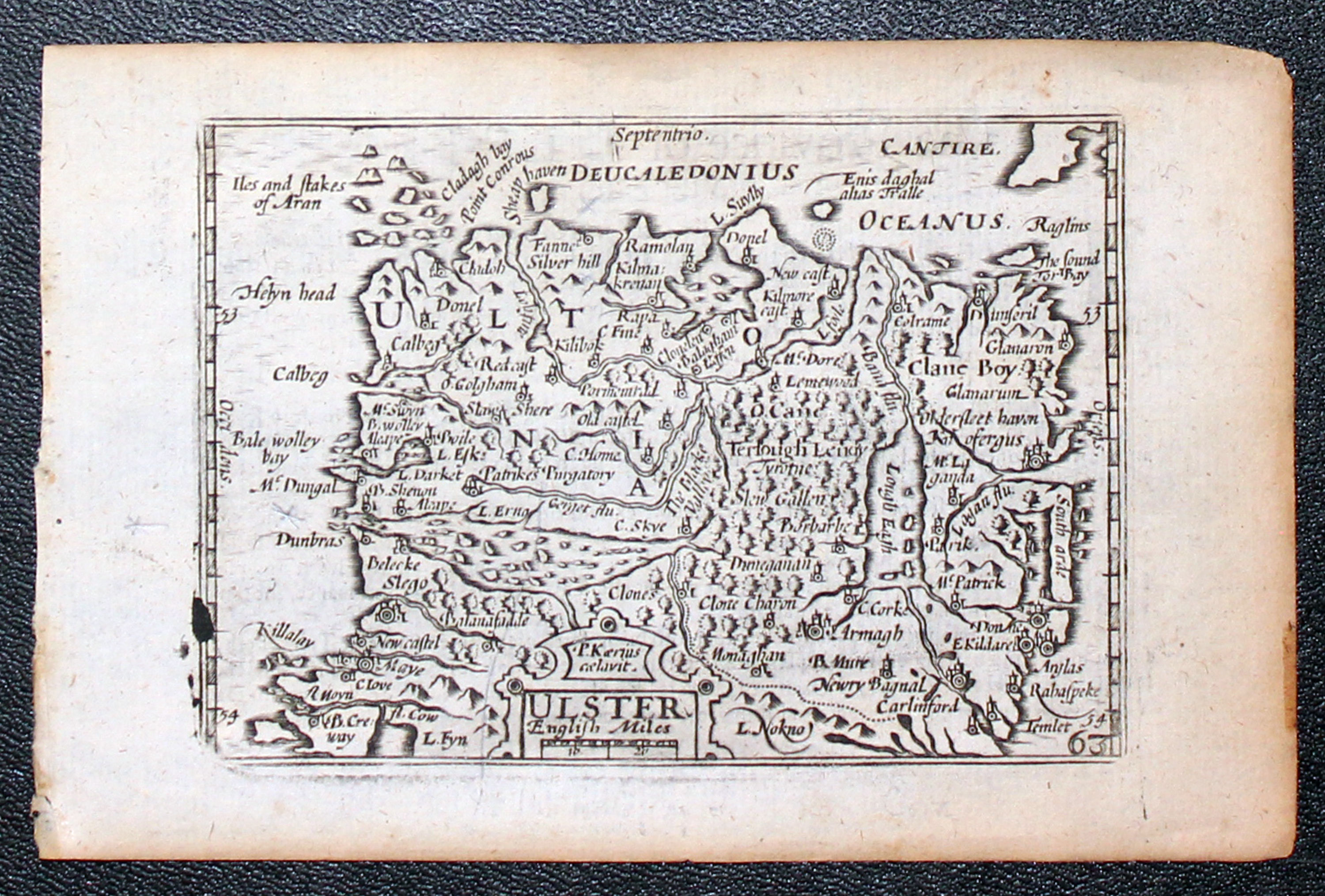
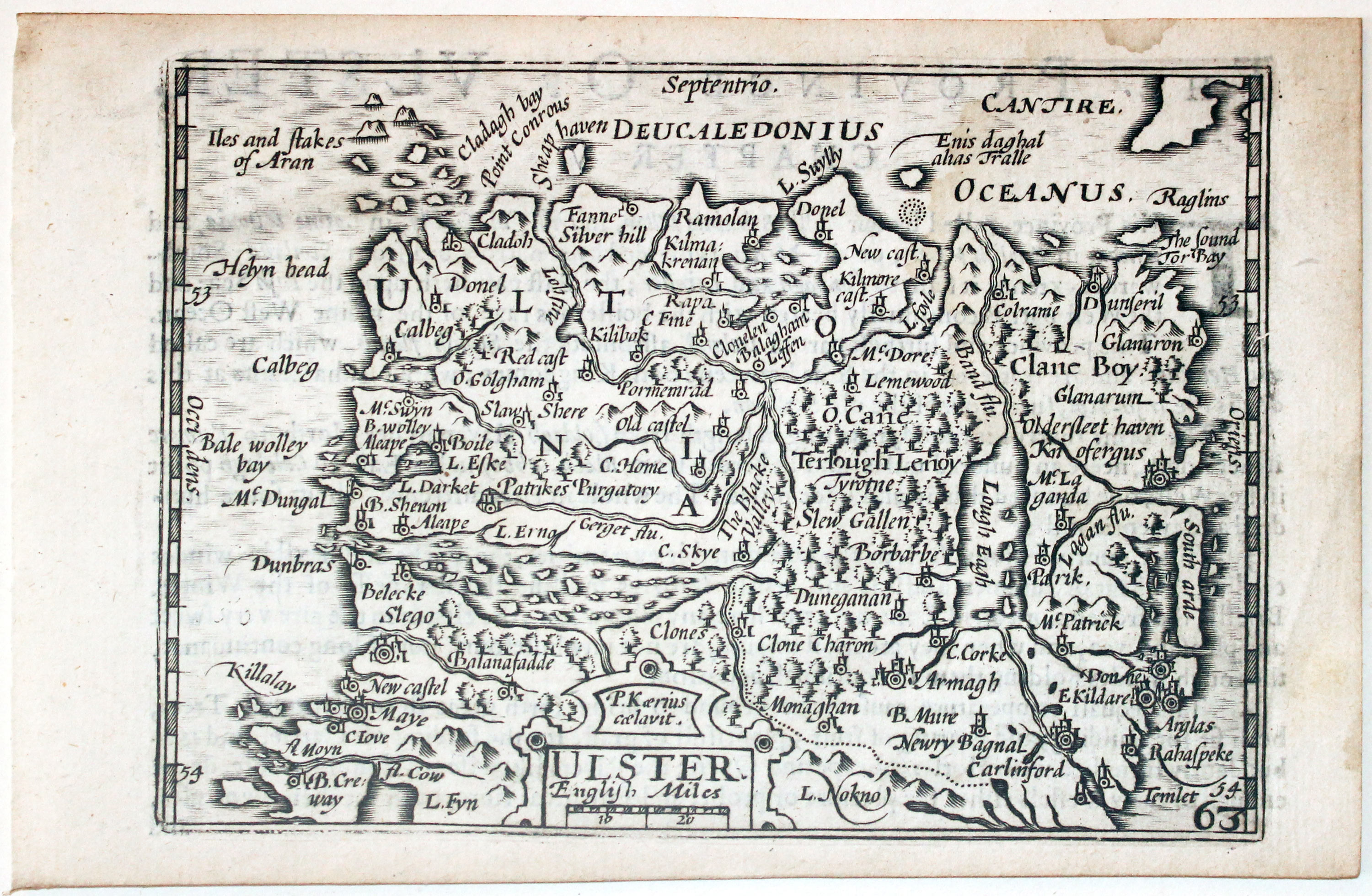
Ulster, Pieter van den Keere 1666

22152 Ulster, Pieter van den Keere, 1668. Price: 120.00
ULSTER
A miniature engraved map of the province embellished with a small title cartouche bearing the name of P. Kaerius. By this edition you can see that a small part of the plate in the bottom left hand corner must have broken off or worn. 4 3/4 x 3 1/4 inches. Uncoloured. Light toning. English text on verso describing the province. Also with this map are the following two pages of double sided text completing the description. Good condition. This map has been taken straight from the atlas and therefore not sold previously as a single map.
From: England Wales Scotland and Ireland Described
18th Century - Early Hand Colouring
-

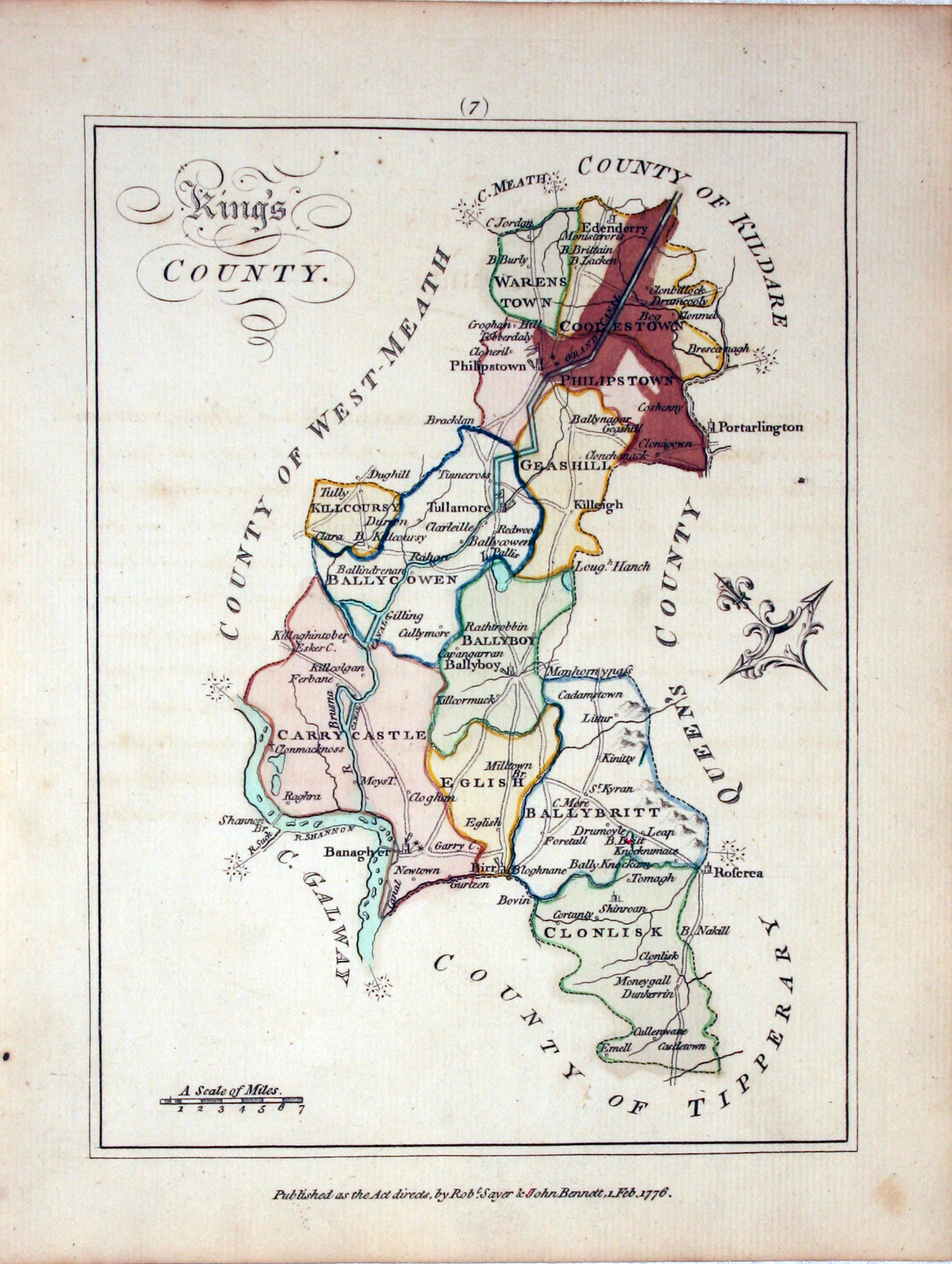
King’s County, Bernard Scalé, 1776

26779 King’s County, Bernard Scalé, 1776. Price: 32.00
An interesting engraved map of the county. 5 1/2 x 7 1/2 inches. Early hand colouring. An area at the top of the map that has been coloured with a brown wash. Special Price
From: AN HIBERNIAN AFTER OF GENERAL DESCRIPTION OF THE KINGDOM OR IRELAND... BY BERNARD SCALE, LAND SURVEYOR - and beautifully engraved on 78 Copper Plates, by Messrs Ellis and Palmer.
18th Century - Sea Chart
-
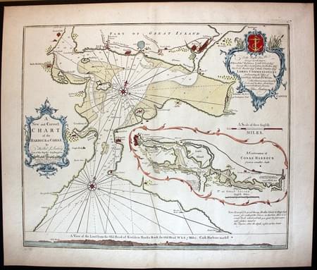
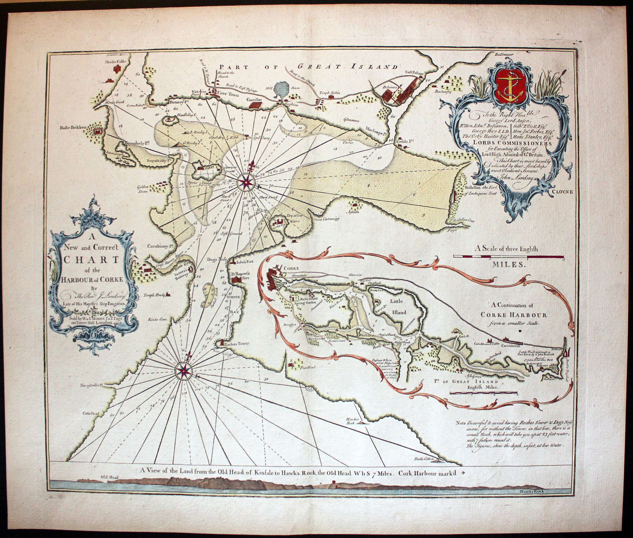
Cork, Captain Greenville Collins, c.1785

29233 Cork, Captain Greenville Collins, c.1785. Price: 460.00
A NEW AND CORRECT CHART OF THE HARBOUR OF CORKE BY THE REVEREND J. LINDSAY ATE OF HIS MAJEST’S SHIP FOUGUEUX. SOLD BY W. & J. MOUNT T & T PAGE ON TOWER HILL LONDON
A fine example of this engraved chart from Captain Greenville Collins’ Coasting Pilot. Embellished with two rococo cartouches displaying the title and the dedication to The Rt. Hon. George Lord Anson. 20 1/4 x 17 inches. Fine hand colouring. Excellent clean condition with wide blank margins. A nice specimen of this attractive chart.
From: The Coasting Pilot
19th Century
-

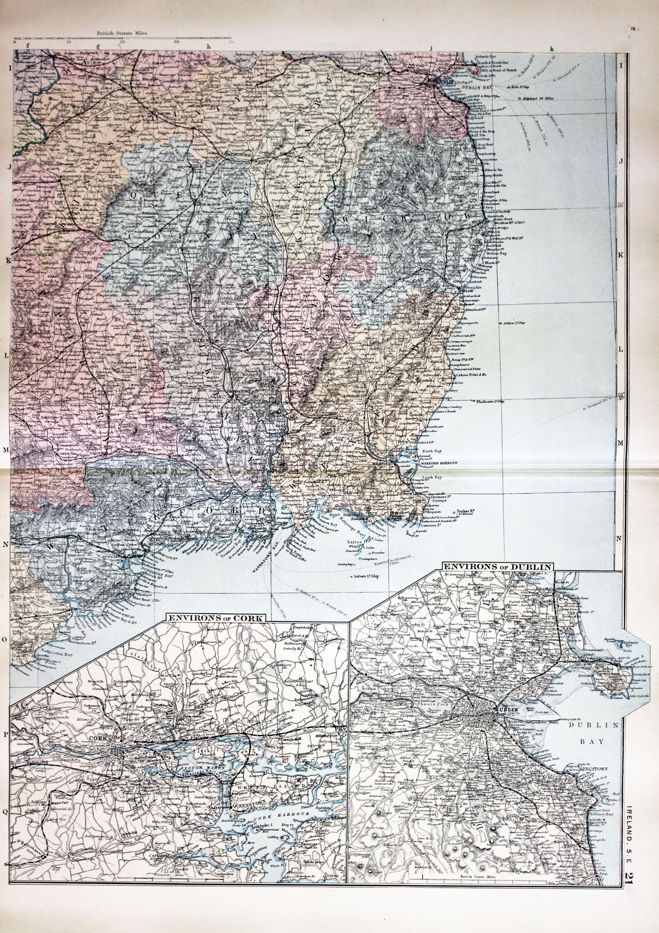
South East Ireland, George Washington Bacon, c.1891

30903 South East Ireland, George Washington Bacon, c.1891. Price: 18.00
IRELAND S. E.
An untitled section map showing South East Ireland. Two inset maps showing Environs of Cork and Environs of Dublin 12 1/2 x 17 1/4 inches. Colour printed. Good blank margins. Good clean condition.
From: Complete Atlas of the World
19th Century
-

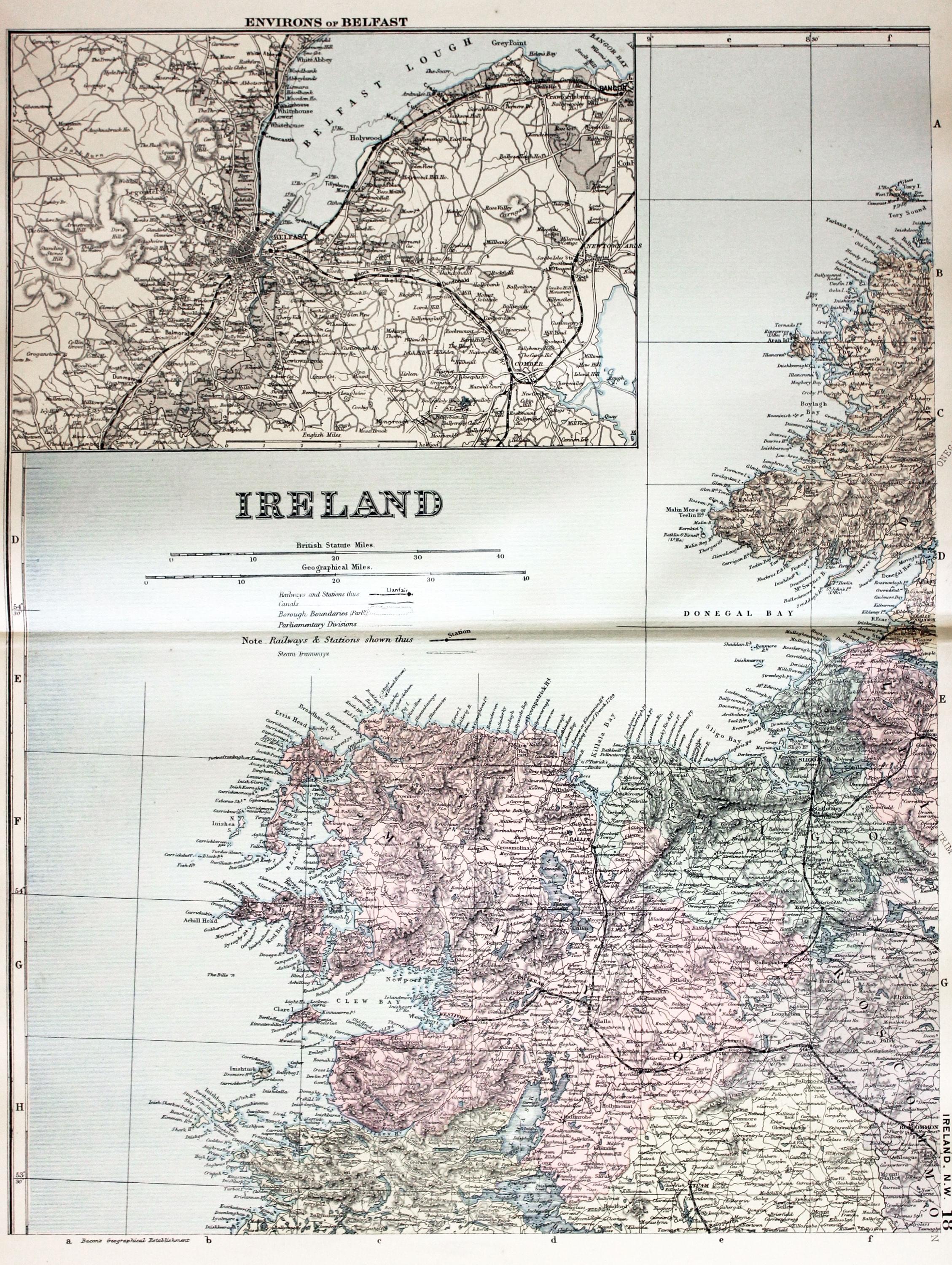
North West Ireland, George Washington Bacon, c.1891

30904 North West Ireland, George Washington Bacon, c.1891. Price: 18.00
IRELAND
A section map showing North West Ireland. Inset map of Environs of Belfast. 12 1/2 x 17 1/4 inches. Colour printed. Good blank margins. Good clean condition.
From: Complete Atlas of the World
Early 20th Century - Railways
-

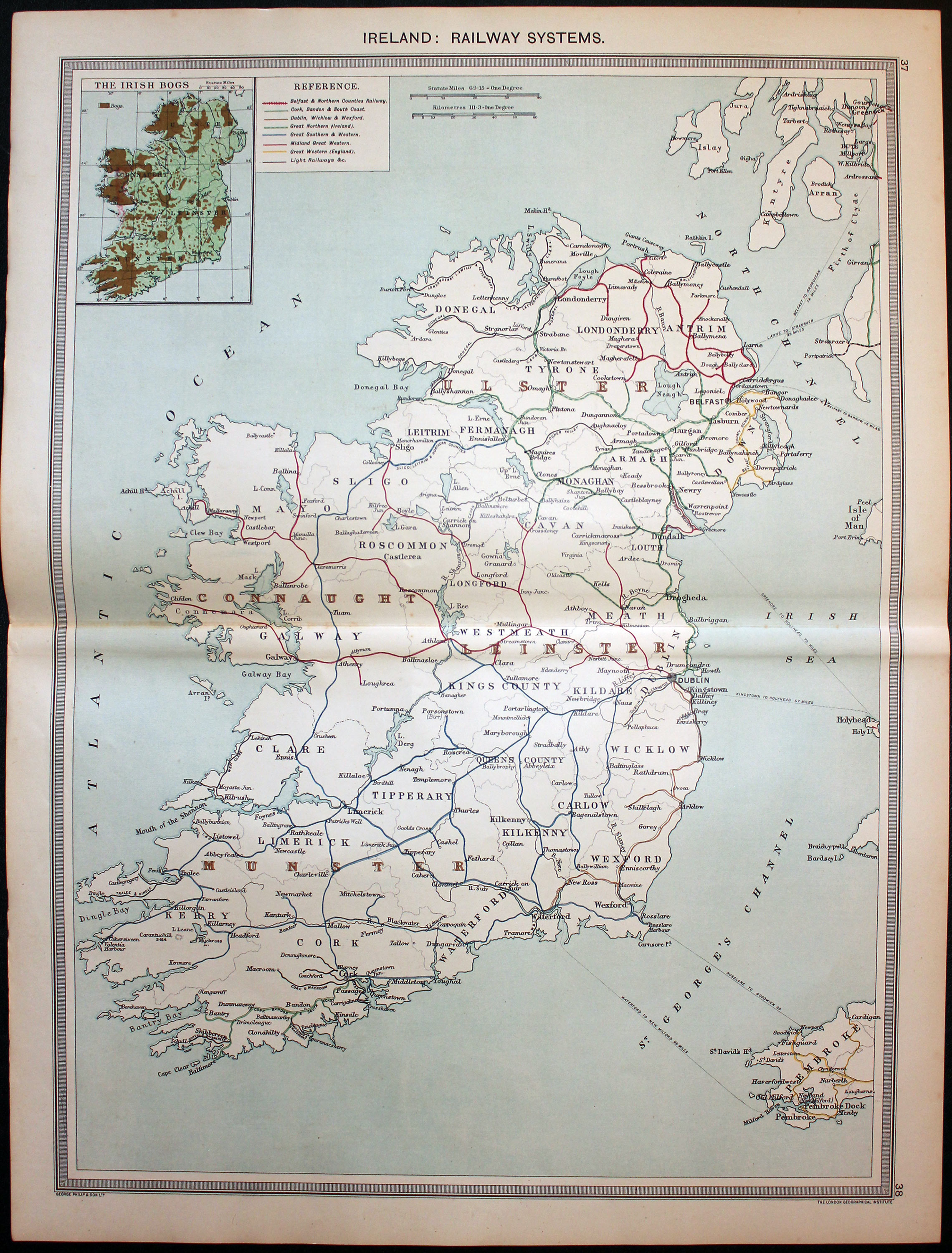
Ireland Railways, George Philip c.1906
32224 Ireland Railways, George Phili & Sons, c.1906. Price: 12.00
IRELAND: RAILWAY SYSTEMS
A detailed colour printed map of the whole of Ireland showing the various railway company lines. Inset map of the Irish Bogs. 13 3/4 x 18 3/4 inches. Original centre fold. Good condition.
From: The Harmsworth Universal Atlas published by The Amalgamated Press

Early 20th Century
-

North Ireland, George Philip c.1906
32215 North Ireland, George Phili & Sons, c.1906. Price: 6.00
THE NORTH OF IRELAND
A detailed colour printed map of the northern half of Ireland. Inset maps of Mayo, Belfast and Dublin Bay. Original centre fold. 18 3/4 x 13 3/4 inches. Good condition.
From: The Harmsworth Universal Atlas published by The Amalgamated Press
18th Century - Chart
-
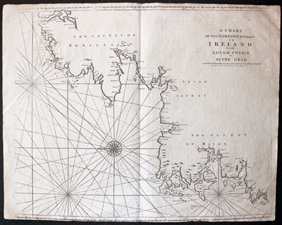
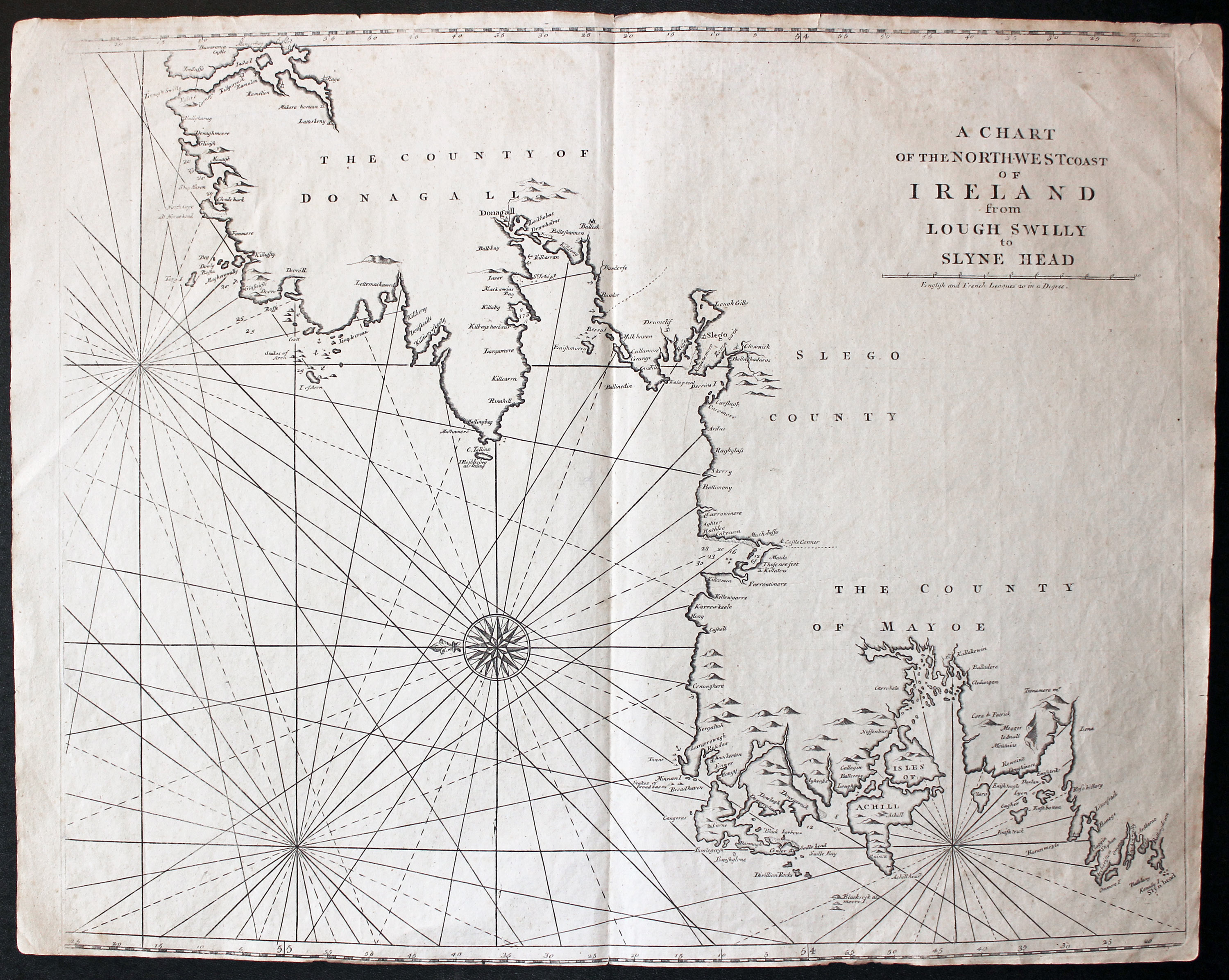
North West Ireland, John Seller c.1780

32250 North West Ireland, John Seller, c.1780. Price: 180.00
A CHART OF THE NORTH-WEST COAST OF IRELAND FROM LOUGH SWILLY TO SLYNE HEAD
An interesting engraved chart of north west Ireland orientated with east at the top of the map, showing the coasts of Donegal, Sligo and Mayo. 21 1/2 x 17 1/2 inches. Uncoloured. A few small nicks on the edge of small top blank margin. The bottom margin is very small but no trimming.
From: The English Pilot
Early 18th Century
-

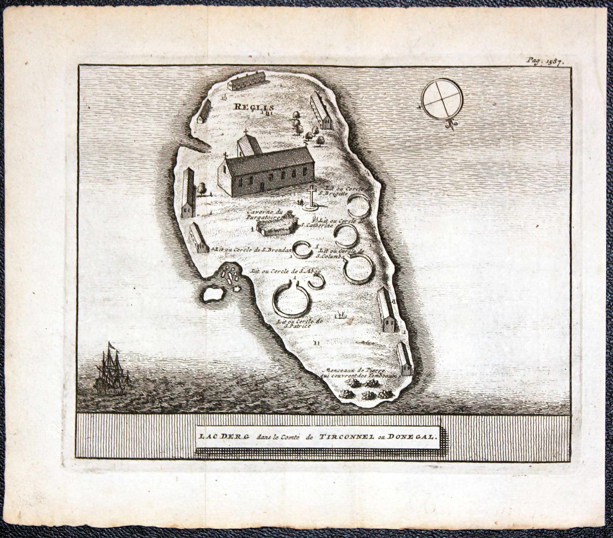
Station Island, Loch Derg, Dnegall by Pieter van der Aa 1707
32517 Station Island, Loch Derg, Donegal, Pieter van der Aa, 1707. Price: 65.00
LAC DERG DANS LE COMTE DE TIRCONNEL OU DONEGAL
An interesting early 18th century engraved plan of the Station Island on Loch Derg known as St. Patrick’s Purgatory and is a site of pilgrimage. Page 1587 appears above the image in the top right hand corner. 6 x 4 3/4 inches. Uncoloured. Two light original folding creases. Fine clean undamaged condition.
From James Beverell's "Les Delices de la Grande Bretagne" published by Pieter van der Aa, Leiden
17th Century - Miniature
-

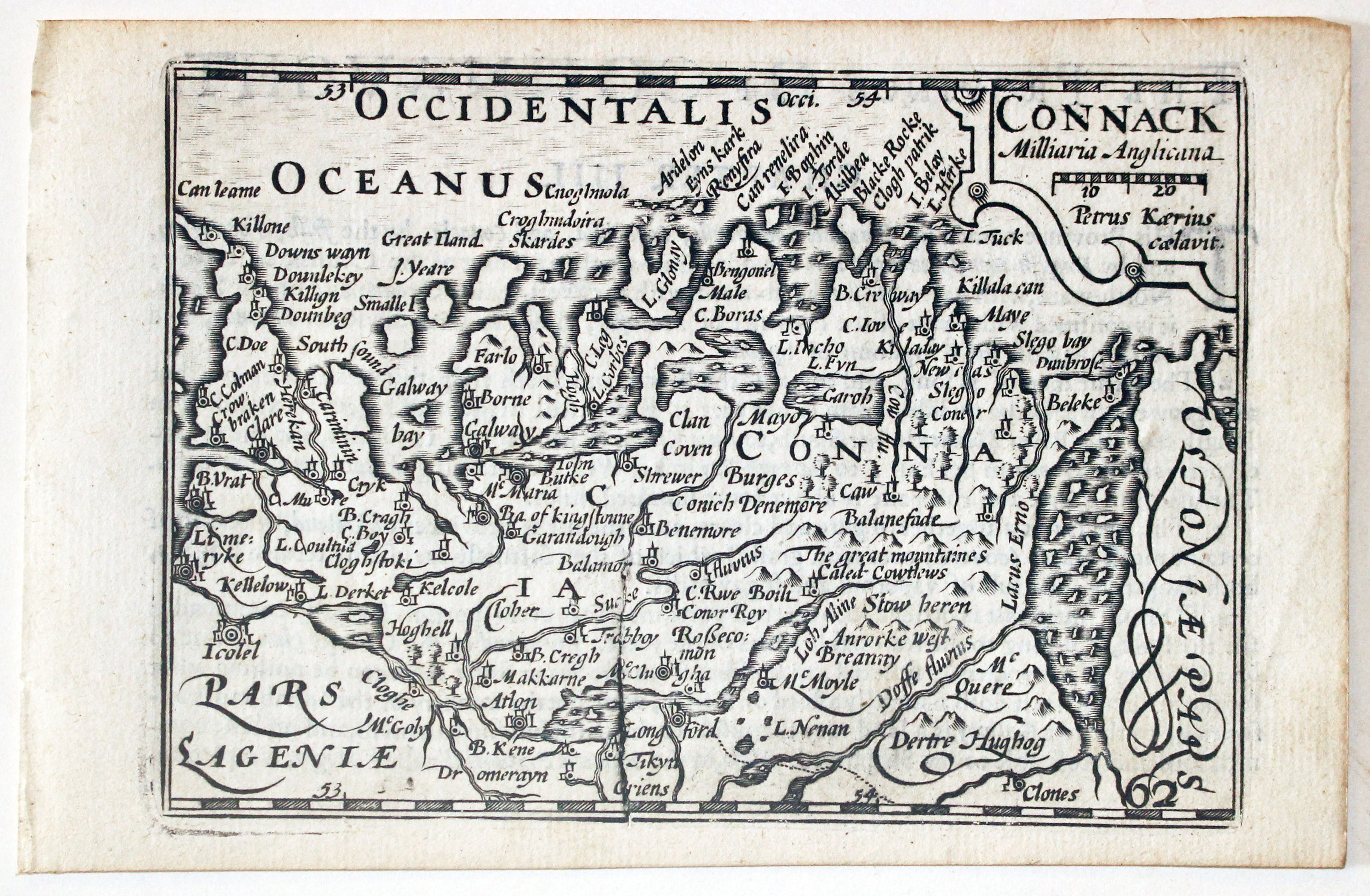
Map of Connaught, Ireland by Pieter van den Keere 1627

32675 Connaught, Pieter van den Keere, 1627. Price: 100.00
CONNACK
A miniature engraved map of Conaught embellished with a cartouche displaying the title, scale and the name of P. Kaerius. Numbered 62. 4 3/4 x 3 1/4 inches. Uncoloured. Nice clean undamaged condition. English text on verso describing the province. With this map are the following two pages of double sided text completing the description. Straight from the atlas and not previously sold as a single map. The title page of the atlas is dated 1627
From: England Wales Scotland and Ireland Described
17th Century - Miniature
-

Map of Ulster, Ireland by Pieter van den Keere 1627

32676 Ulster, Pieter van den Keere, 1627. Price: 120.00
ULSTER
A miniature engraved map of the province embellished with a small title and scale cartouche bearing the name of P. Kaerius. . 4 3/4 x 3 1/4 inches. Uncoloured. Small water stain in the top blank margin otherwise nice clean undamaged condition.. English text on verso describing the province. With this map are the following two pages of double sided text completing the description. Straight from the atlas and not previously sold as a single map. The title page of the atlas is dated 1627
From England Wales Scotland and Ireland Described n
Early 19th Century - Original Hand Colouring
-
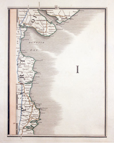
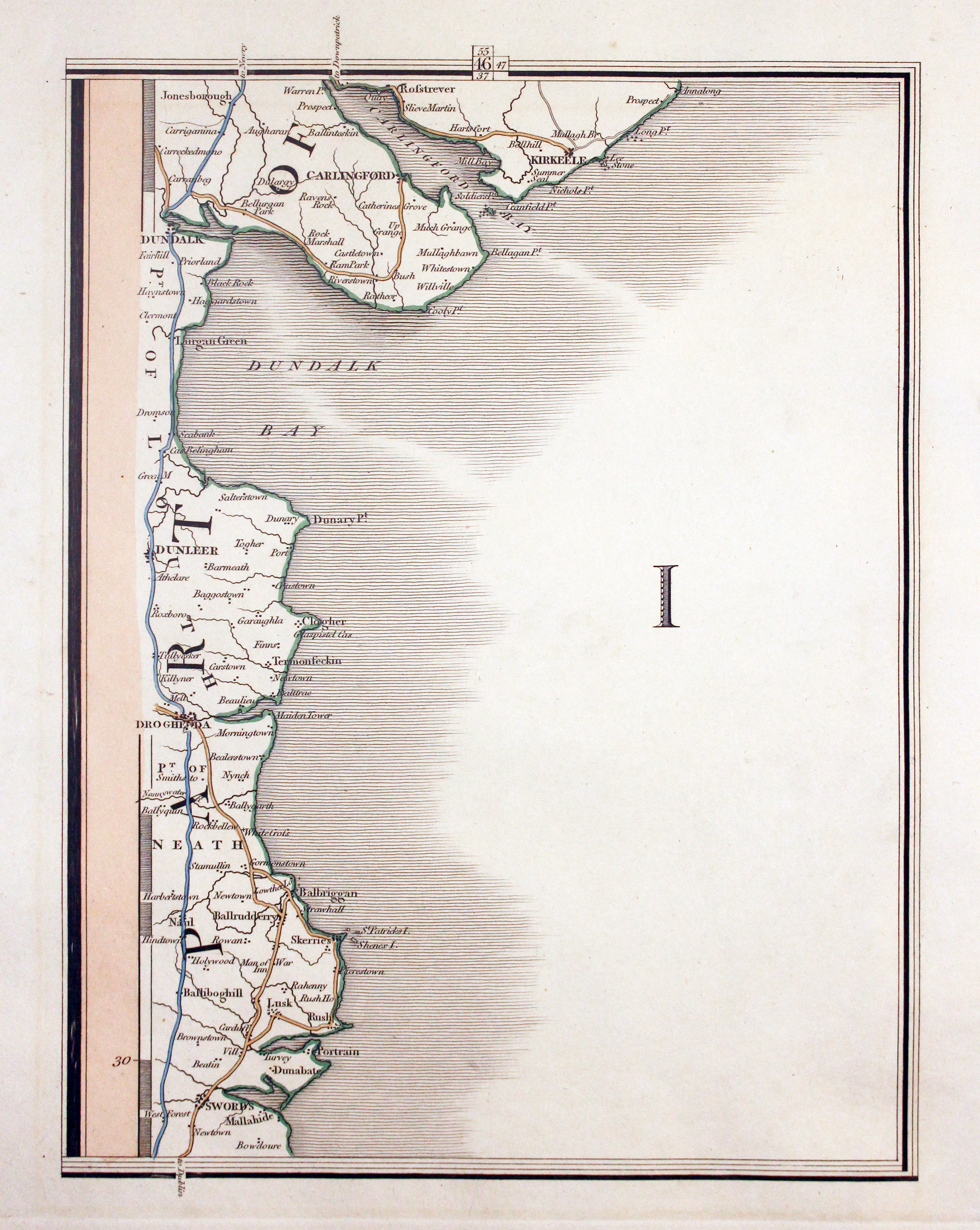
Part of East Coast of Ireland by John Cary 1824

32699 Part of the East Coast, John Cary 1824. Price: 25.00
IRISH COAST
Map from Cary’s New Map of England and Wales with part of Scotland published in 1824. It shows the coastline from Kilkeel with Rostrevor, Carlingford, Dundalk, Dunleer, Drogheda, Balbriggan and Swords. 8 x 10 inches. Original outline hand colouring. Fine clean undamaged condition.
Late 19th Century
-
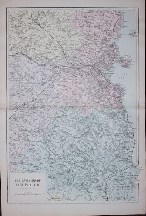
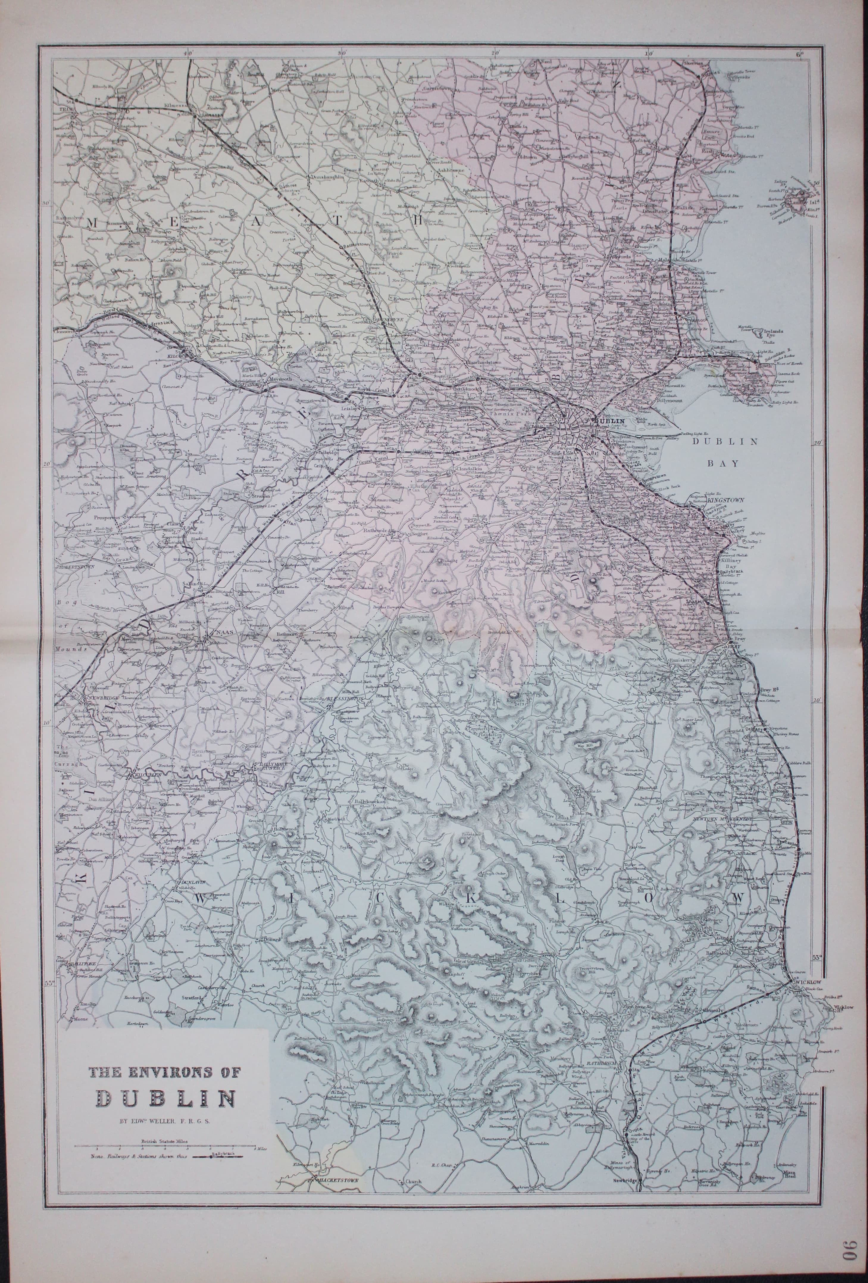
Environs of Dublin, Edward Weller 1884
33151 Environs of Dublin, Edward Weller, c.1884. Price: 27.00
MAP OF THE ENVIRONS OF EDINBURGH
A coloured lithograph map of the region. 18 1/4 x 12 1/4 inches. Original centre fold. Good clean undamaged condition.n

17th Century - Text
-
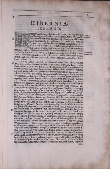
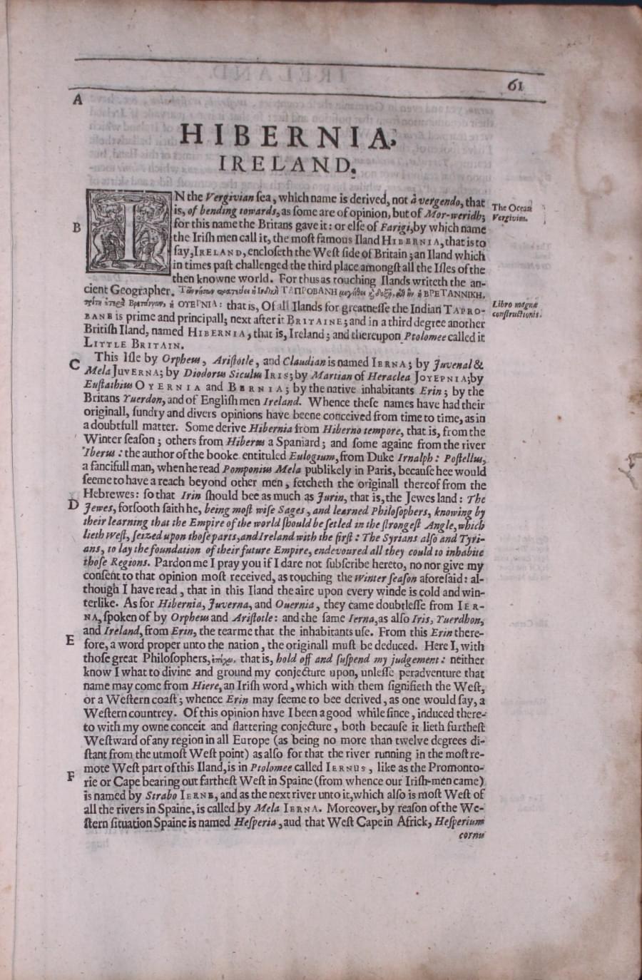
Ireland text by William Camden 1637
3323 Ireland and the Smaller Islands round Britain, William Camden, 1637. Price: 14.00
IRELAND AND ISLANDS
Pages 55 to 233 inclusive describing the county of Ireland and the smaller British Islands in English. Plus some preliminary pages at the beginning and end including the index for the whole worth. Some slight fraying on tthe edges of some pages but otherwise good condition. About 13 x 8 inches.
From: Camden’s Britannia

Late 19th Century
-

Environs of Dublin, Edward Weller 1884
33151 Environs of Dublin, Edward Weller, c.1884. Price: 27.00
MAP OF THE ENVIRONS OF EDINBURGH
A coloured lithograph map of the region. 18 1/4 x 12 1/4 inches. Original centre fold. Good clean undamaged condition.n

19th Century
-
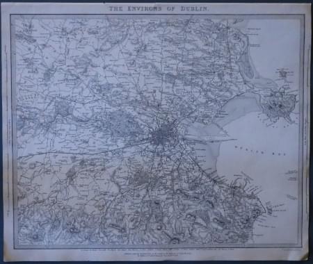
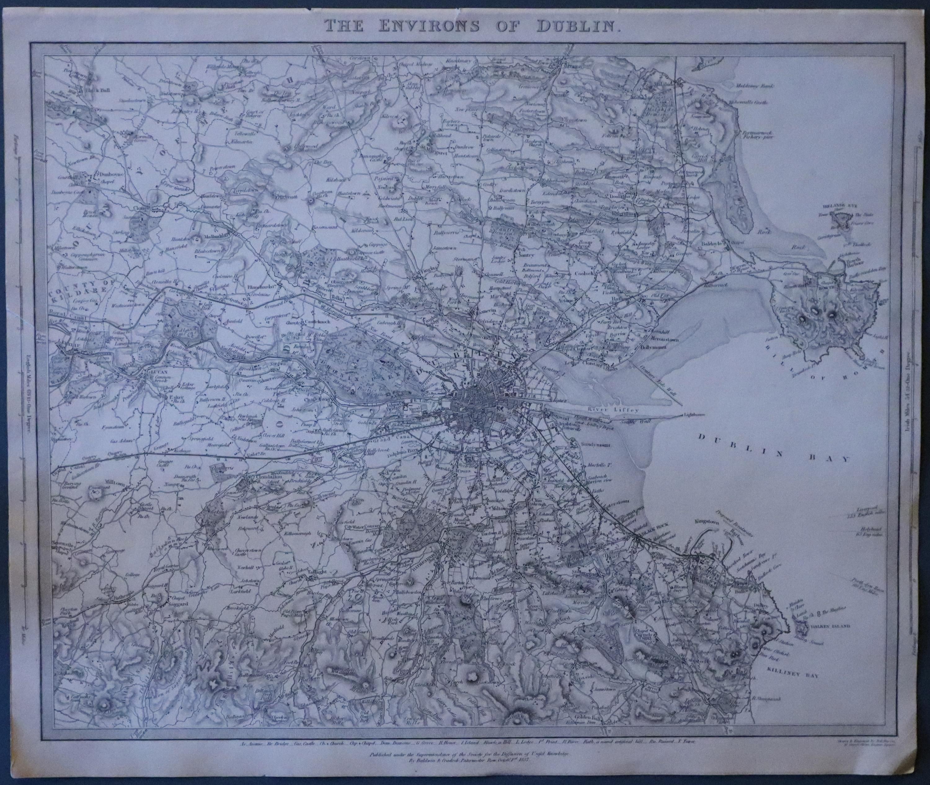
Environs of Dublin, Edward Weller 1884
24122 Environs of Dublin, S.D.U.K. 1844. Price: 35.00
THE ENVIRONS OF DUBLIN
An interesting detailed map of the region. The imprint beneath is dated 1837. 15 1/2 x 12 1/4 inches. Uncoloured. Two small nicks on the edge of the top blnk margin otherwise good condition.

18th Century - First Edition
-

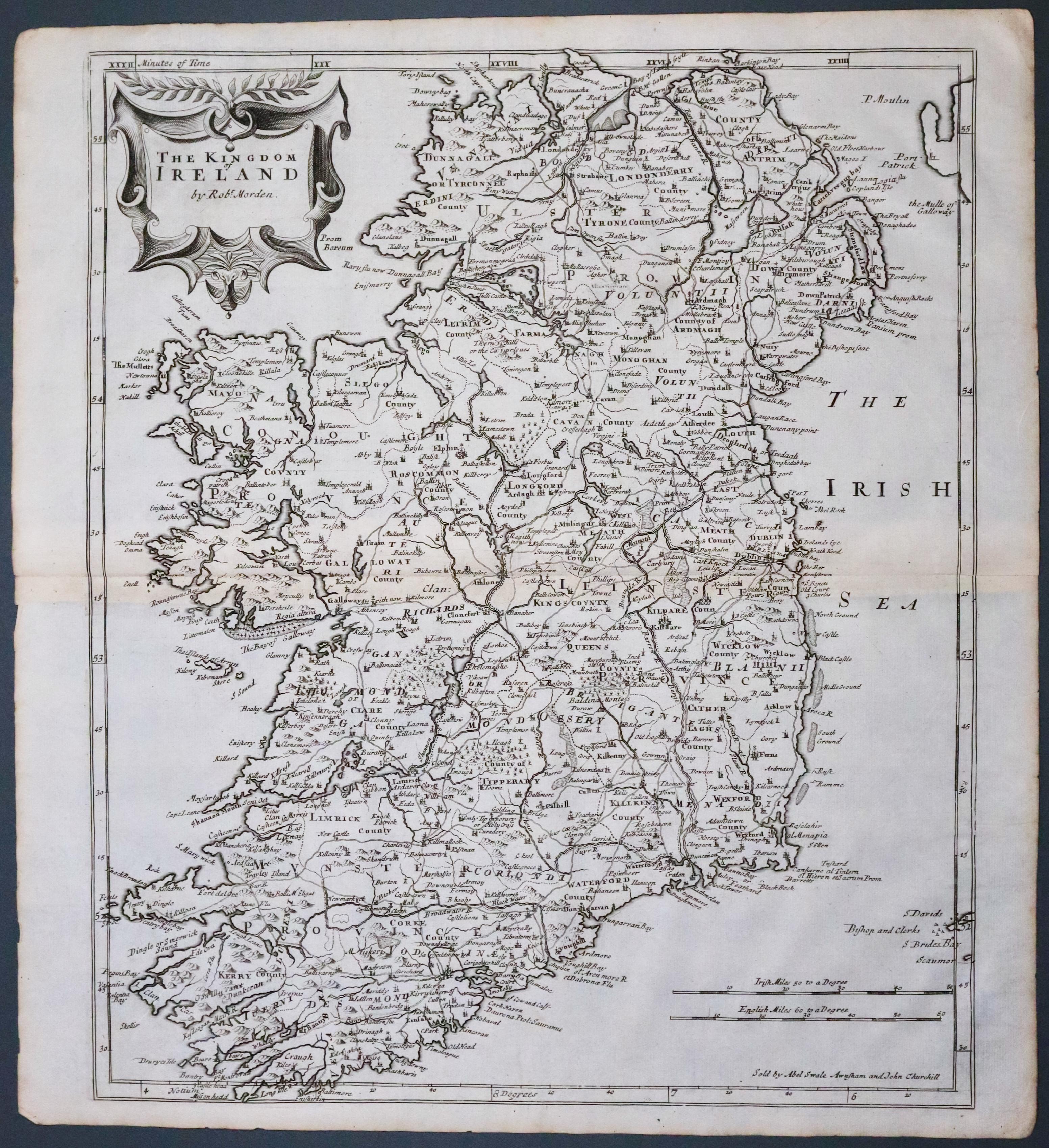
Ireland, Robert Morden 1695
33522 Ireland, Robert Morden 1695. Price: 270.00
THE KINGDOM OF IRELAND BY ROBT. MORDEN
The FIRST EDITION of this good engraved map of the whole country embellished with a decorative title cartouche. Imprint of the publishers Abel Swale with Awnsham and John Churchill. Two scales. 13 x 16 1/4 inches. Original centre fold. Uncoloured. Good condition. This map has been taken straight from the atlas and therefore not previously offered for sale as a single map.
From Camden's Britannia
