Antique Maps of Scotland
Richard Nicholson of Chester
A World of Antique Maps and Prints
Established in 1961
All the Maps on this page are guaranteed to be genuine early specimens
published in or around the year stated
SCOTTISH COUNTY MAPS
18th Century - Road Map
-

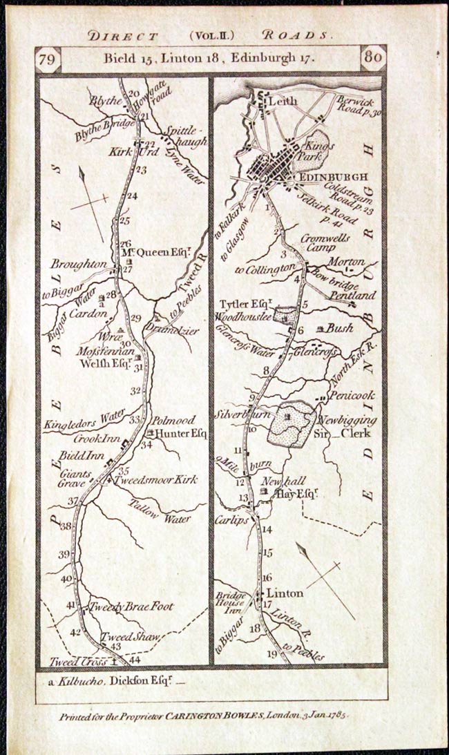
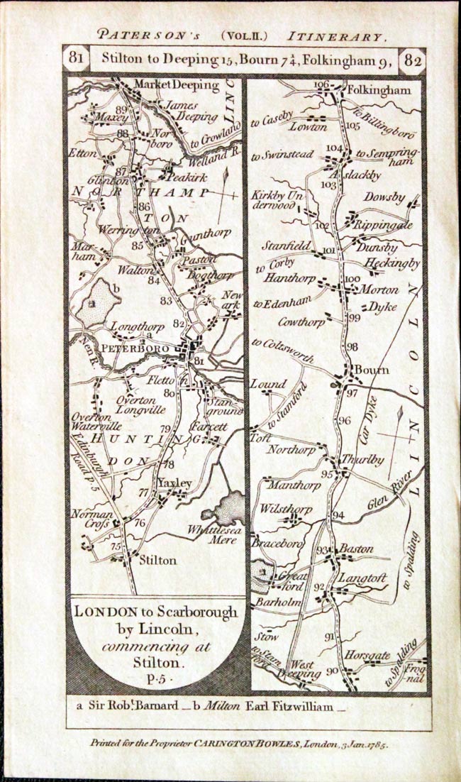
Road Map Scotland, Carington Bowles, 1785
-
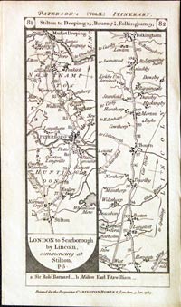
Scotland Roads, Carington Bowles, 1785

29768 Road Map, Carington Bowles, 1785. Price: 25.00
Plate 79 / 80/ 81 / 82
An engraved double sided strip road map. Starting at Tweed Cross and going through Linton to Edinburgh. On the reverse side the route starts at Stilton and goes to Peterborough, Market Deeping, Bourn and Folkingham. 3 1/4 x 6 1/4 inches. Uncoloured. Good condition.
From: Paterson’s British Itinerary
19th Century
-
Road Map Scotland, Carington Bowles, 1785
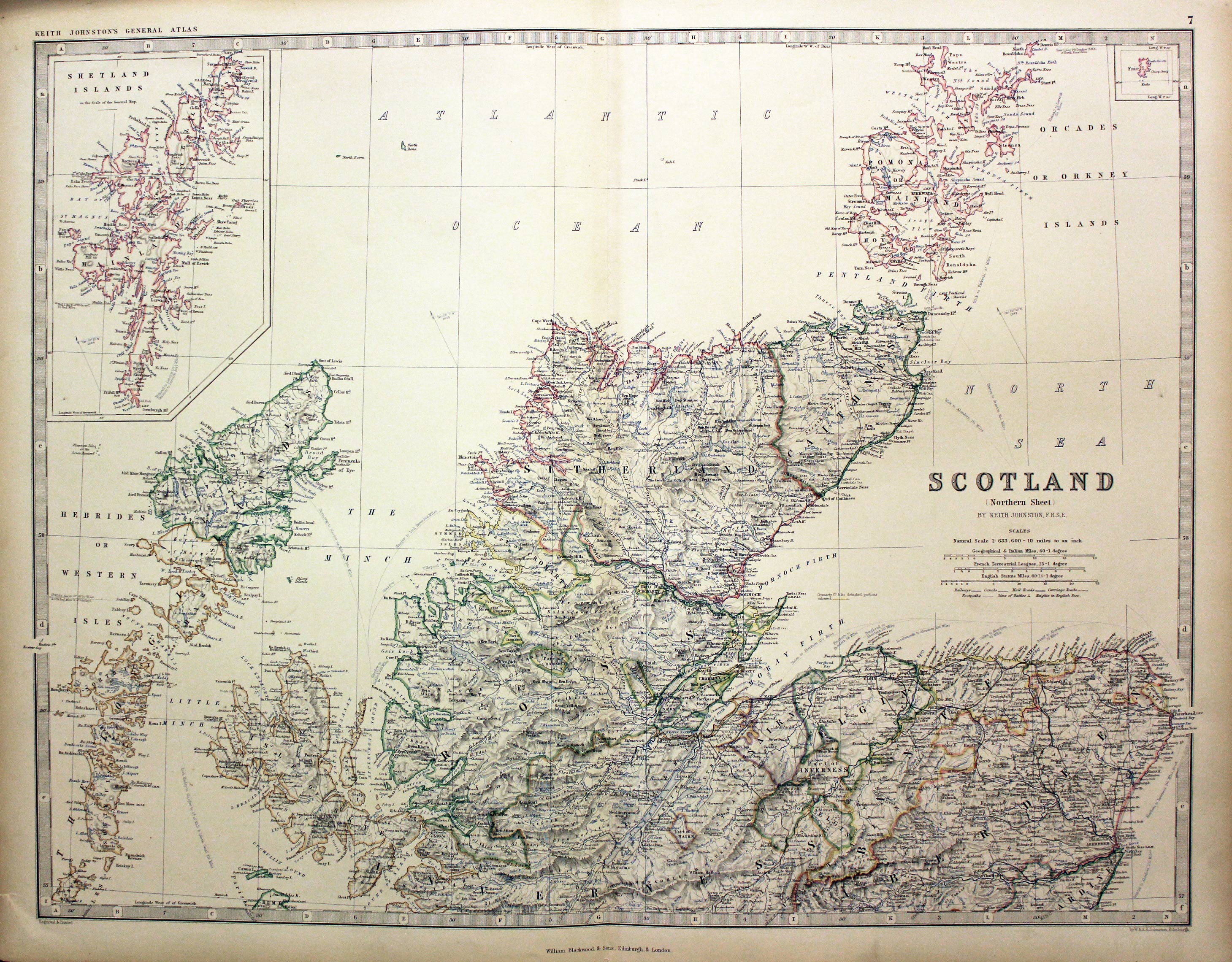
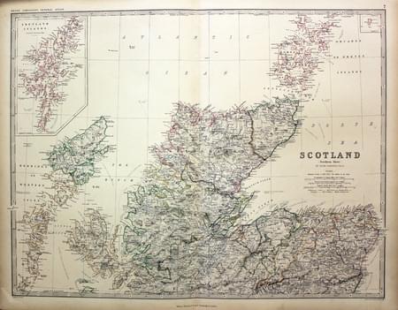
30346 Northern Scotland, W. & A. K. Johnston, 1861. Price: 22.00
SCOTLAND (NORTHERN SHEET) BY KEITH JOHNSTON F.R.S.E.
A good detailed lithographic map of the northern half of Scotland. Inset maps of Shetland and Fair Isle. 22 1/2 x 17 1/2 inches. A few very small nicks on the edges of the margin otherwise good clean condition.

Early 20th Century
-
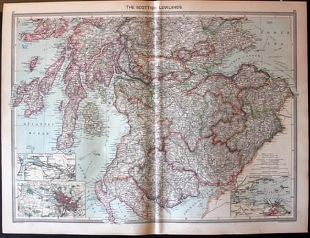
Scottish Lowlands, George Philip c.1906
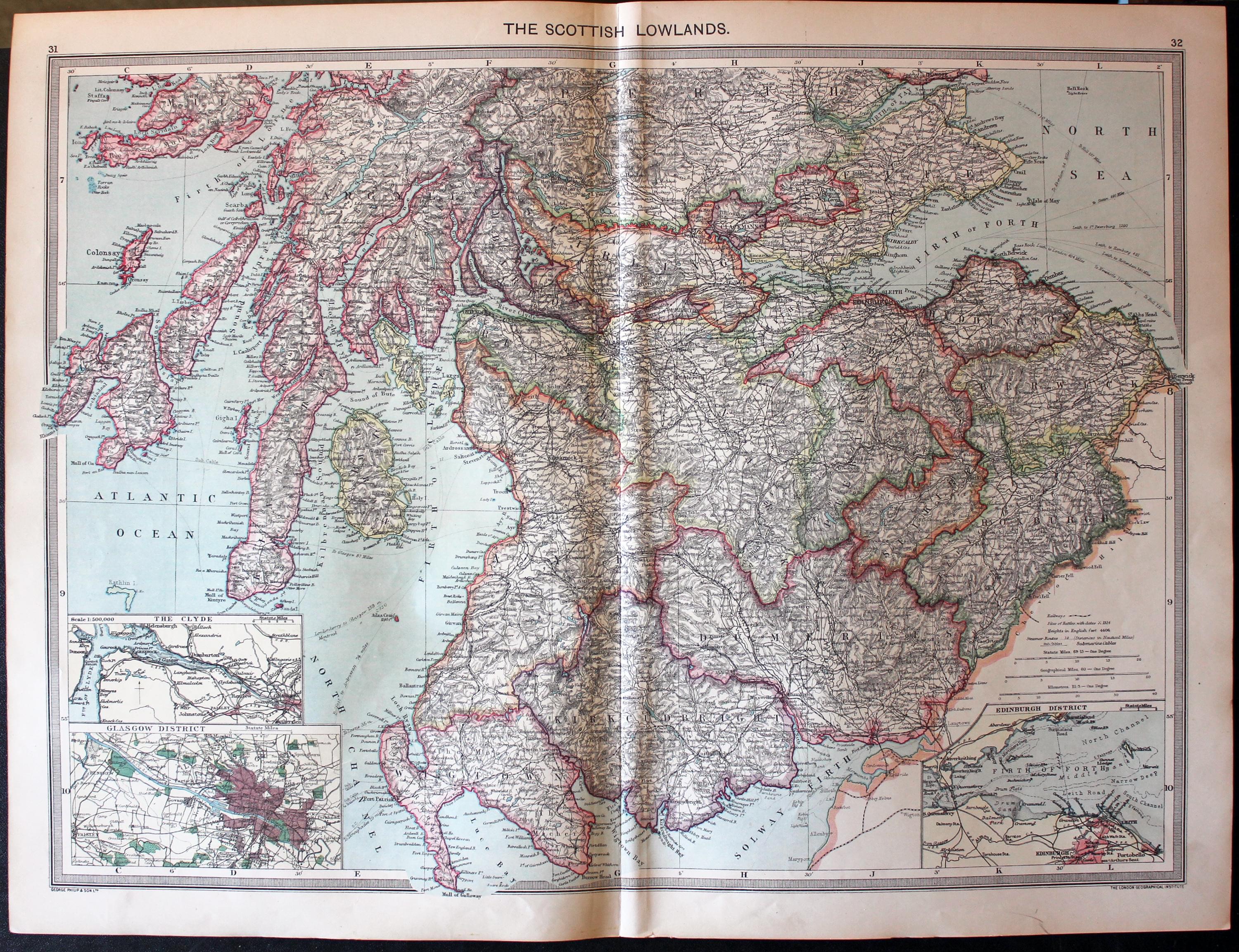
32216 Scottish Lowlands, George Philip & Son, c.1906. Price: 8.00
THE SCOTTISH LOWLANDS
A detailed colour printed map of southern Scotland. Inset maps of The Clyde, Gasgow District and Edinburgh District. 18 3/4 x 13 3/4 inches. Original centre fold. Good condition.
From: The Harmsworth Universal Atlas published by The Amalgamated Press
Early 17th Century
-
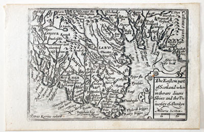
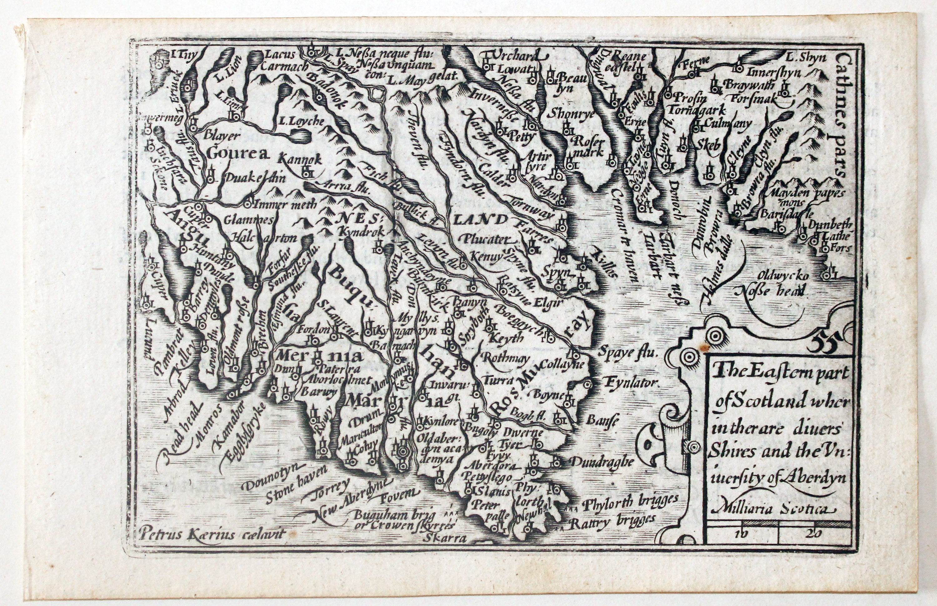
North East Scotland by Pieter van den Keere, c.1627

32668 North East Scotland, Pieter van den Keere, c.1627. Price: 90.00
THE EASTERN PART OF SCOTLAND WHER IN THER ARE DIVERS SHIRES AND UNIVERSITY OF ABERDEEN
A early engraved miniature map orientated with west at the top. It shows Aberdeenshire, Mora with part of Angus A single cartouche displays the title and scale. The latinized version of Pieter van den Keere’s name appears in the bottom right hand corner. This map bears no number. 4 3/4 x 3 1/4 inches. A clean undamaged uncoloured specimen. On verso is part of a description of Scotland in English. Straight from the atlas and not previously sold as a single map. The title page of the atlas is dated 1627
From: England Wales Scotland and Ireland Described
Early 17th Century
-

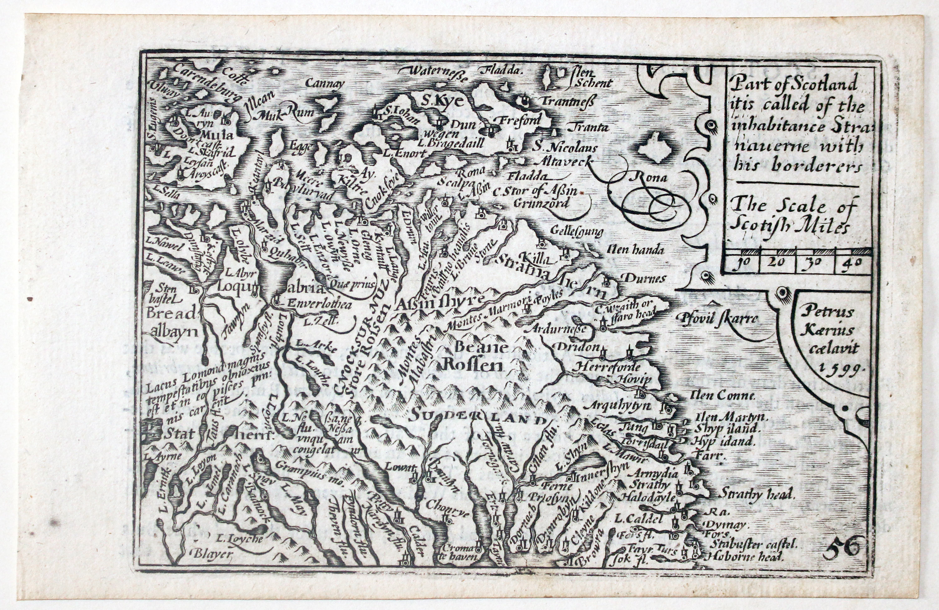
Northern Scotland by Pieter van den Keere, c.1627

32669 Northern Scotland, Pieter van den Keere, c.1627. Price: 90.00
PART OF SCOTLAND IT IS CALLED OF THE INHABITANTS STRANAUERN WITH HIS BORDERERS
A early engraved miniature map orientated with west at the top. It shows the north west part of Scotland with the isles of Mull, Rum and Skye with the areas of Ross & Cromarty, and Sutherland. A single cartouche displays the title and scale with the Latinized name of Pieter van den Keere dated 1599. Numbered 56. 4 3/4 x 3 1/4 inches. A clean undamaged uncoloured specimen. On verso is part of a description of Scotland in English. Straight from the atlas and not previously sold as a single map. The title page of the atlas is dated 1627
From: England Wales Scotland and Ireland Described
19th Century - Ancient
-

Northern Ebgland by John Bartholomew, c.1898

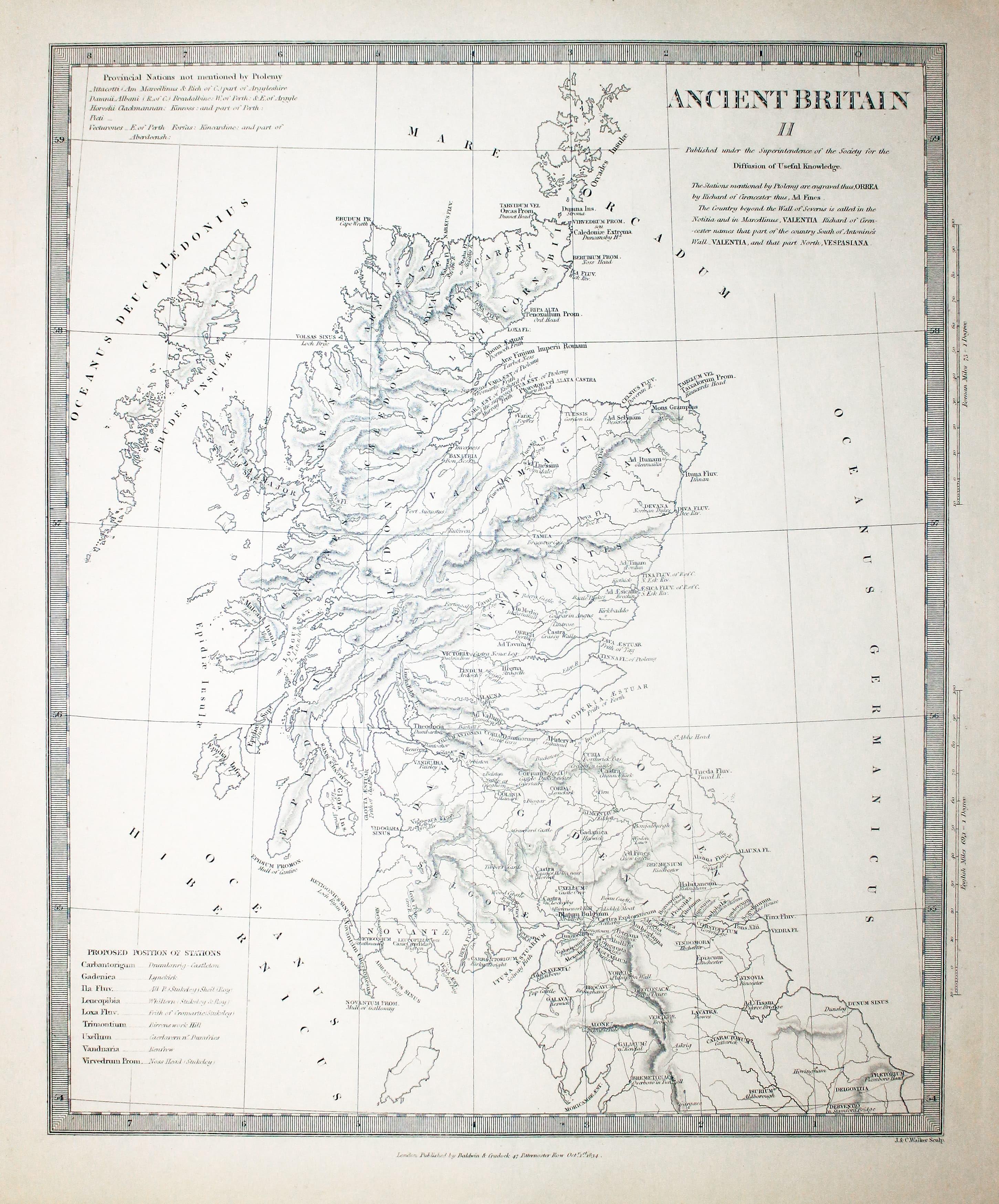
2870 Ancient Scotland, S.D.U.K. c.1834. Price: 30.00
ANCIENT BRITAIN II
An interesting map of Scotland engraved by J. & C. Walker showing Scotland in ancient times according to Ptolemy and Richard of Cirencester. Published by Baldwin & Craddock for the S.D.U.K. short for Society for the Society of the Diffusion of Useful Knowledge. Publishers imprint beneath dated 1834. 11 x 13 1/2 inches. Uncoloured. Good condition.
17th Century Text
-
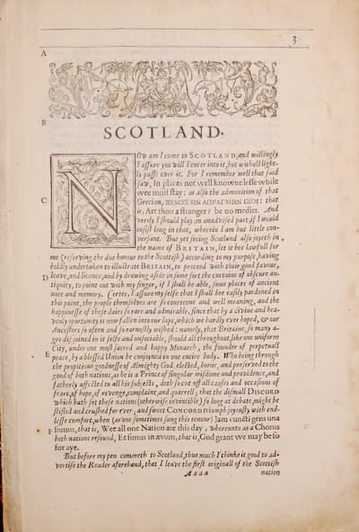
Scotland text from Camden's Britannia by William Camden 1637

33003 Scotland, William Camden, 1637. Price: 14.00
SCOTLAND
Pages 3 - 52 inclusive describing Scotland and its counties.. About 13 x 8 inches. Good condition. From Camden’s Britanniannia
Early 19th Century
-

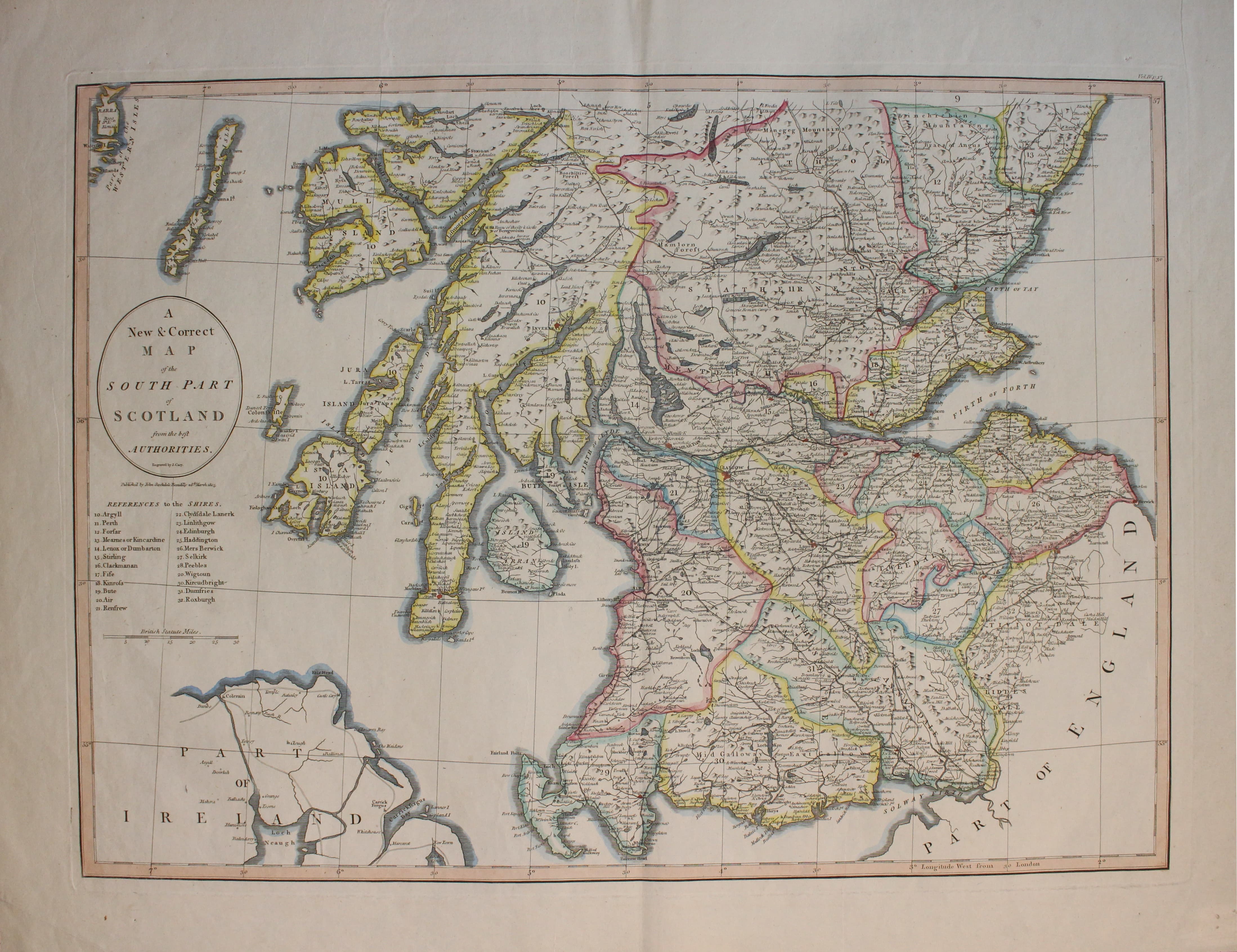
Southern Scotand by John Cary & John Stockdale c.1805

33058 Southern Scotland, John Cary & John Stockade, c.1805. Price: 67.00
A NEW & CORRECT MAP OF THE SOUTH PART OF SCOTLAND FROM THE BEST AUTHORITIES
A good detailed map of the region with publisher’s imprint dated 1805. 20 1/2 x 15 inches. Good clean condition with wide blank margins. Later outline hand colouring. Originally bound on edge so there is no centre fold but there is a light fold crease up the centre of the map.
From New British Atlas published by John Stockdale, Piccadilly
18th Century - Sea Chart
-
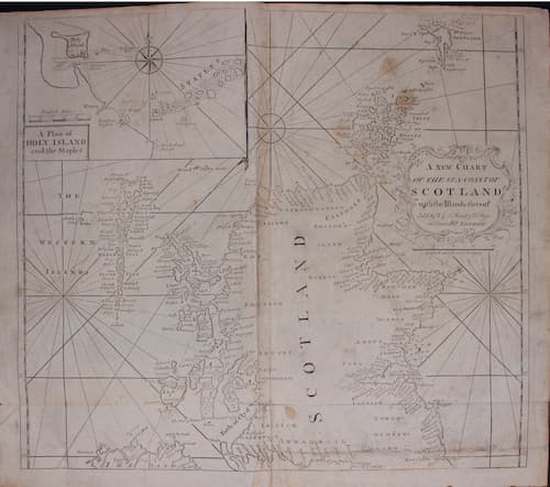
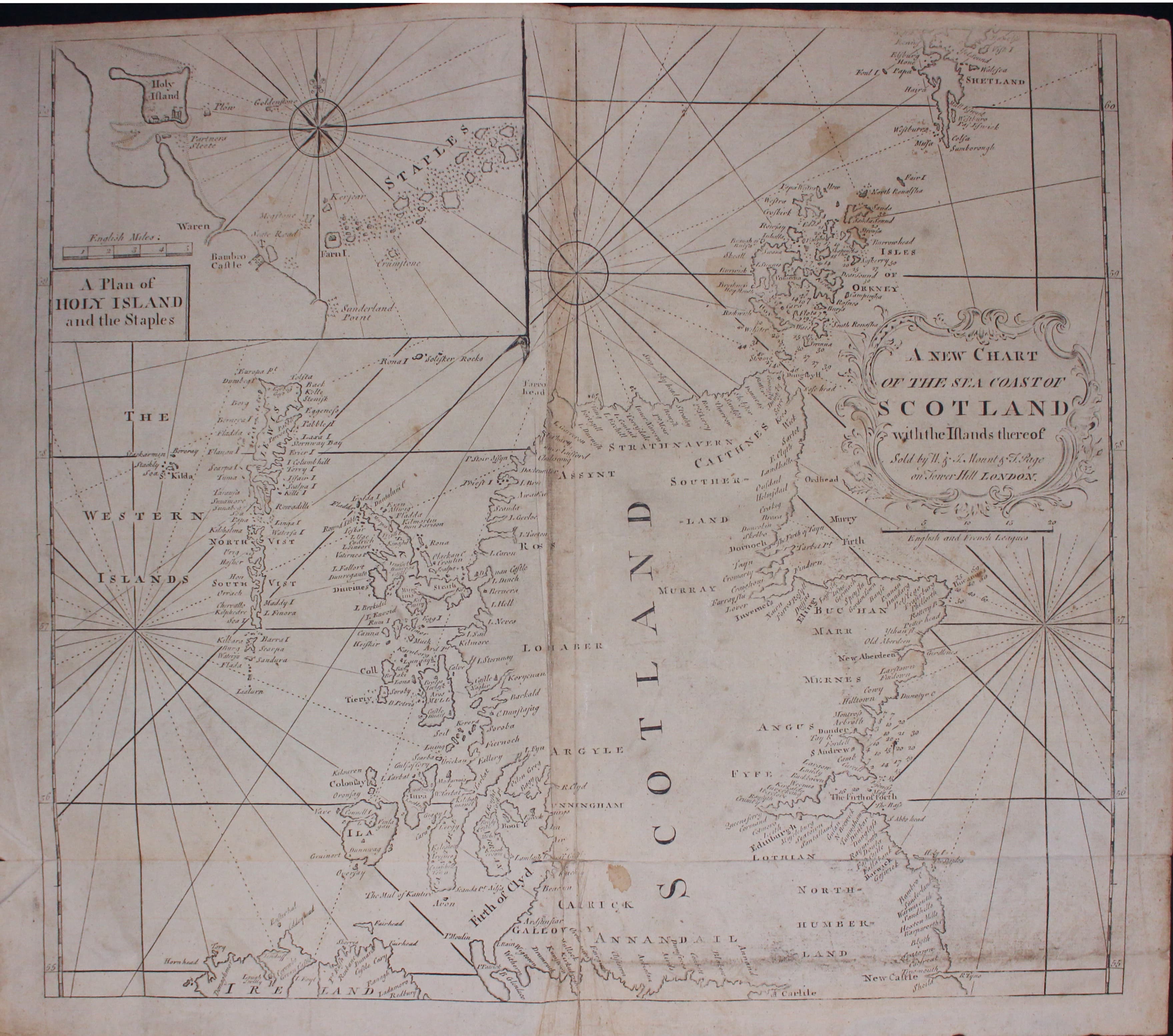
Chart of Scotland, John Seller 1785

33137 Chart of Scotland, John Seller, 1785. Price: 52.00
A NEW CHART OF THE SEA COAST OF SCOTLAND WITH THE ISLANDS THEREOF
An interesting engraved chart of the complete coastline of Scotland along with the Western Isles and part of the Shetlands. Part of the north coast f Ireland is also shown. In the top right hand corner is an inset chart of Holy Island and the Staples being part of the Farne Islands, embellished with a compass rose and title panel. 20 3/4 x 18 3/4 inches. Uncoloured. Original centre fold and and original horizontal fold in the lower part of the chart. A few small light brown stains and some soiling. Some minor creasing in the upper half of the centre fold.
From: The English Pilot for the Southern Navigation published by Mount and Page on Tower Hill in 1785
Late 19th Century
-
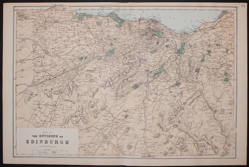
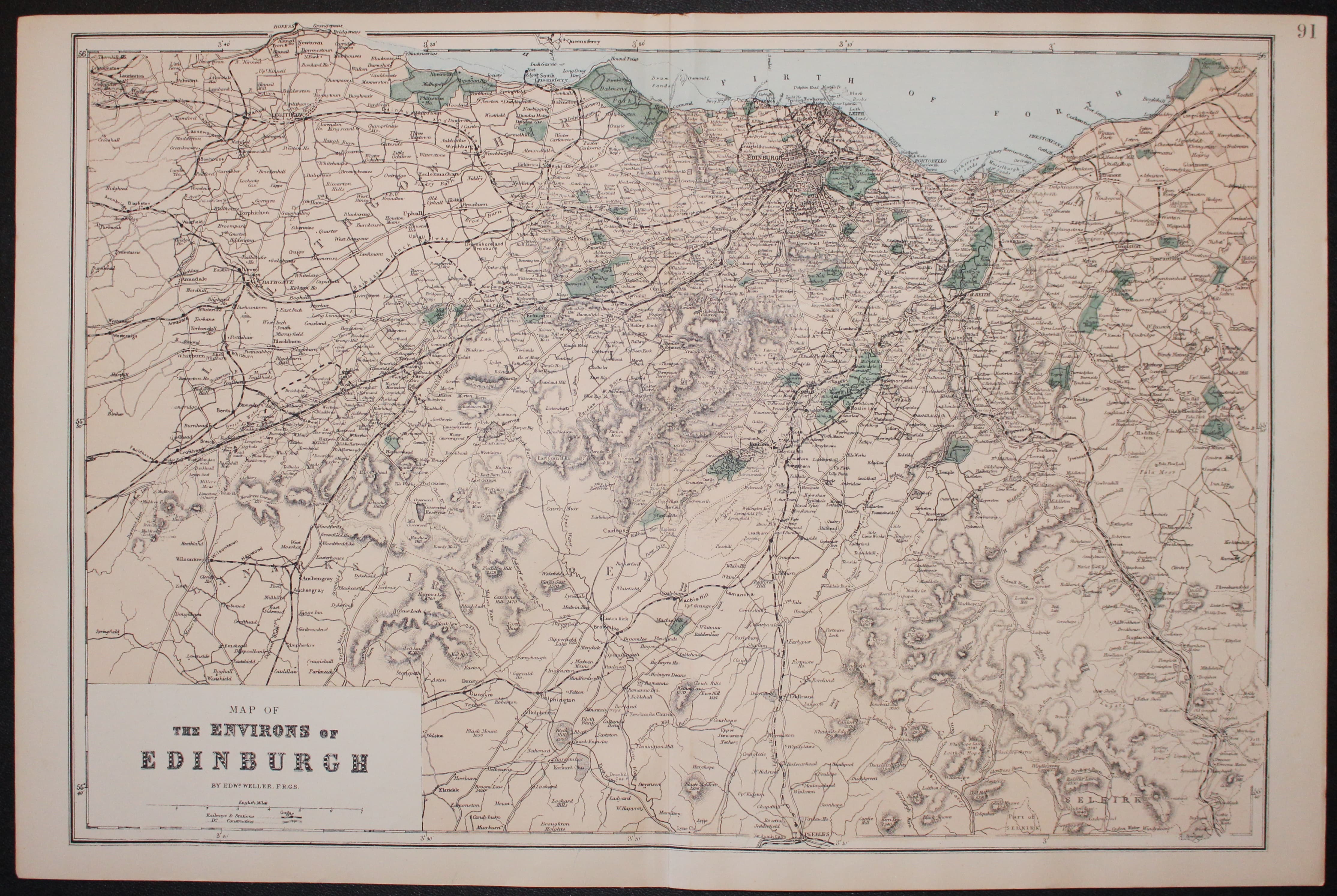
Environs of Edinburgh, Edward Weller 1884

33150 Environs of Edinburgh, Edward Weller, c.1884. Price: 27.00
MAP OF THE ENVIRONS OF EDINBURGH
A coloured lithograph map of the region. 18 1/4 x 12 1/4 inches. Original centre fold. Good clean undamaged condition.
18th Century Sea Chart
-

Scotland, James Dorret c.1761

33238 East Scotland with Orkney & Shetland Islands, Captain Greenville Collins c.1745. Price: 175.00
THE EAST COAST OF OF SCOTLAND WITH THE ISLES OF ORKNEY AND SHETLAND. Is most humbly Dedicated & Presented To the Honble. George Rooke Esq Vice Admirall of ye Blew by Capt Greenvile Collins Hydror. to the King
An interesting engraved chart of the North Sea orienatated with west at the top. The coast is shown from Holy Island off the coast of Northumberland to Caithness as well as the Orkney Islands and the Shetland Islands. 21 1/2 x 17 inches. Uncoloured. Minor split at the bottom of the original centre fold re[aired. This could very easily be repaired as the binding strip is intact. From: The Coasting Pilot
19th Century
-
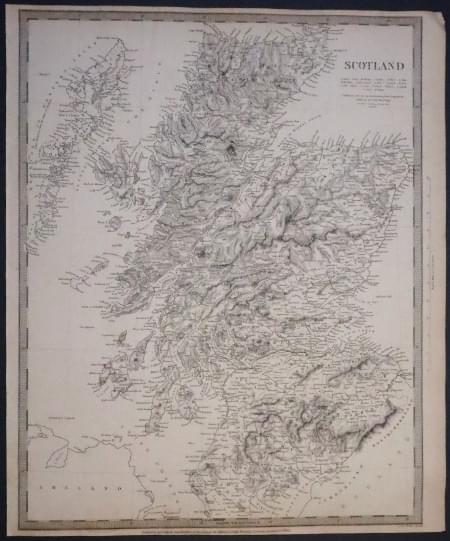
Environs of Edinburgh, Edward Weller 1884

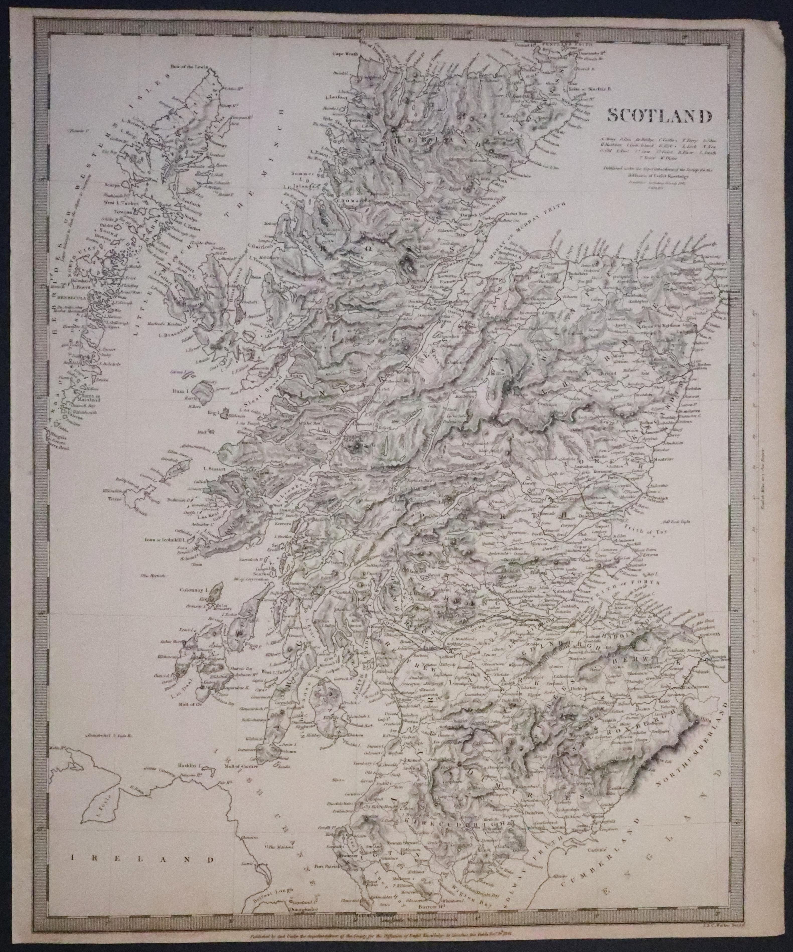
33246 Scotland, S.D.U.K. 1841. 34.00
SCOTLAND
A good clearly engraved detailed map of the whole country. imprint of the publishers Society for the Diffusion of Useful Knowledge dated 1841 beneath. 12 1/4 x 15 1/2 inches. Uncoloured. Light crease across the top right hand blank margin corner otherwise good condition.
19th Century
-

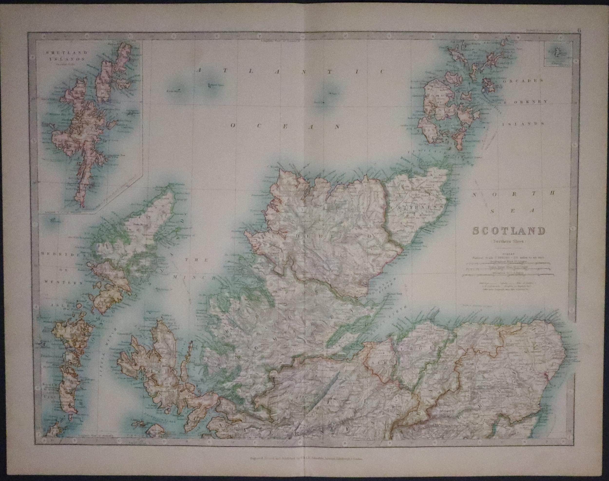
Northern Scotland, W. & A. K. Johnston c.1865

33286 Northern Scotland, W. & A. K. Johnston, c.1865. Price: 9.50
SCOTLAND (NORTHERN SHEET)
A good detailed lithographic map of the northern half of Scotland. Inset maps of Shetland and Fair Isle. 16 3/4 x 12 3/4 inches. Good clean condition.
19th Century
-
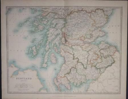
Environs of Edinburgh, Edward Weller 1884

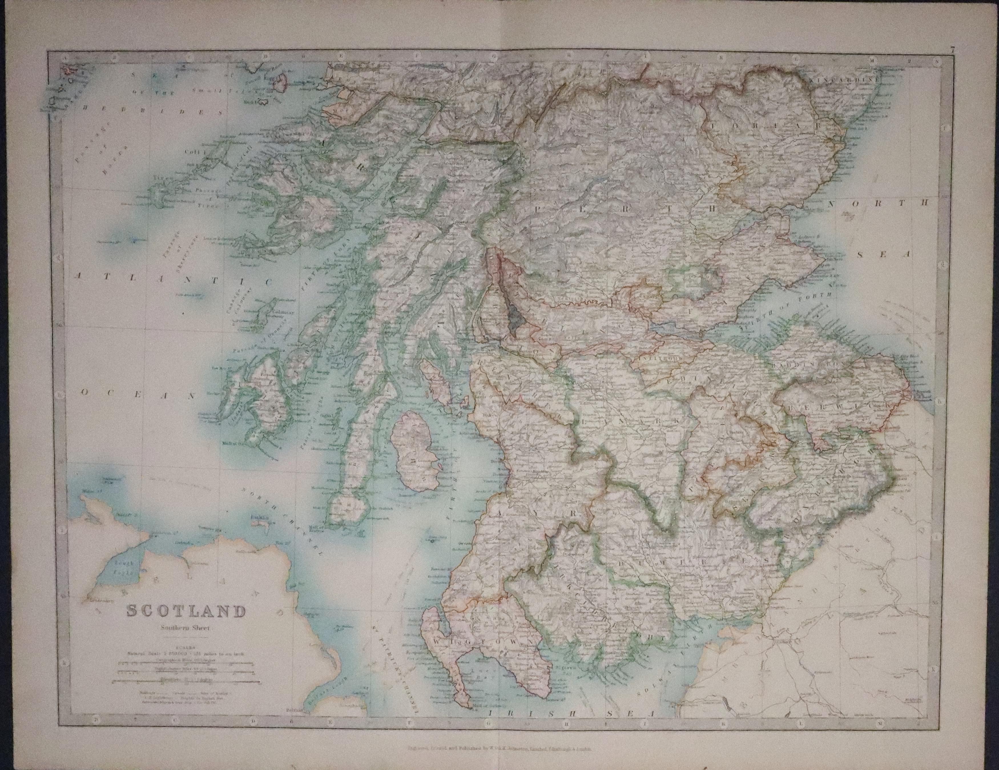
33287 Southern Scotland, W. & A. K. Johnston, c.1865. Price: 9.50
SCOTLAND (SOUTHERN SHEET)
A good detailed lithographic map of the southern half of Scotland. 16 3/4 x 12 3/4 inches. Good clean condition.

