Richard Nicholson of Chester
A World of Antique Maps and Prints
Established in 1961
Antique Maps of Flintshire
All the Maps on this page are guaranteed to be genuine early specimens
published in or around the year stated
17th Century - Miniature
-

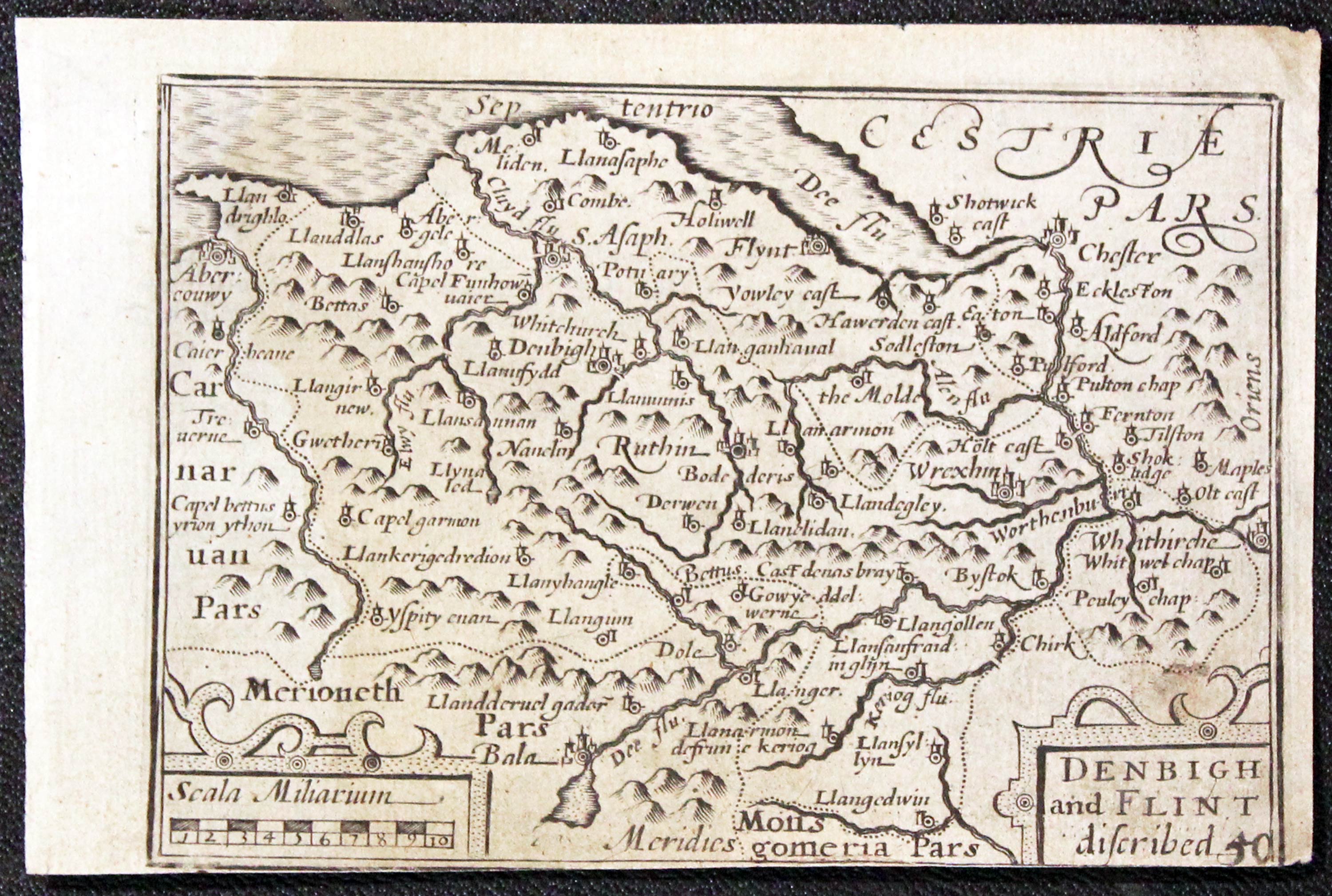
Denbighshire, Pieter van den Keere, c.1630

17285 Denbighshire and Flintshire, Pieter van den Keere, c.1630. Price: 37.00
DENBIGH AND FLINT DISCRIBED
A miniature engraved map of the two counties. Often referred to as a “Miniature Speed”. 4 3/4 x 3 1/4 inches. Uncoloured. No bottom blank margin and slight trimming. Parrt of a description of Denbighshire in English on verso. Otherwise good condition.
From: England Wales Scotland and Ireland Described
Early 17th Century - Town Plan
-
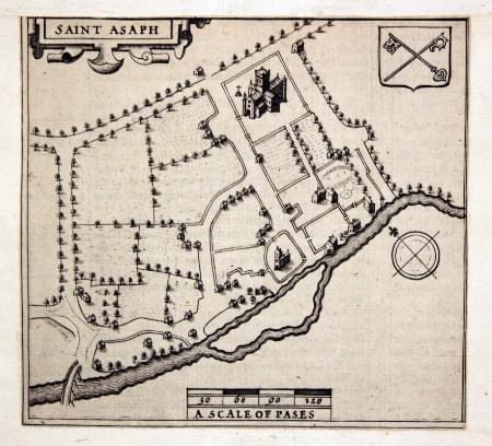
St. AsaphJohn Speed 1611
27820 St. Asaph, John Speed, 1611. Price: 24.00
SAINT ASAPH
An engraved plan of the town with strapwork title cartouche, coat of arms and scale. 5 1/2 x 4 1/2 inches. Cut out and mounted on a sheet of old paper. Uncoloured. Good condition. In all the years I have been selling maps I cannot remember ever having the opportunity to sell this plan. For it is the plan of St. Asaph that appears on John Speed’s county map of Flintshire. For some unknown reason someone has cut this from the folio map and mounted it on paper. Holding it up to the light you can see the English test that appears on the verso. From Theatre of the Empire of Great Britaine.
Early 17th Century - Rare Edition
-

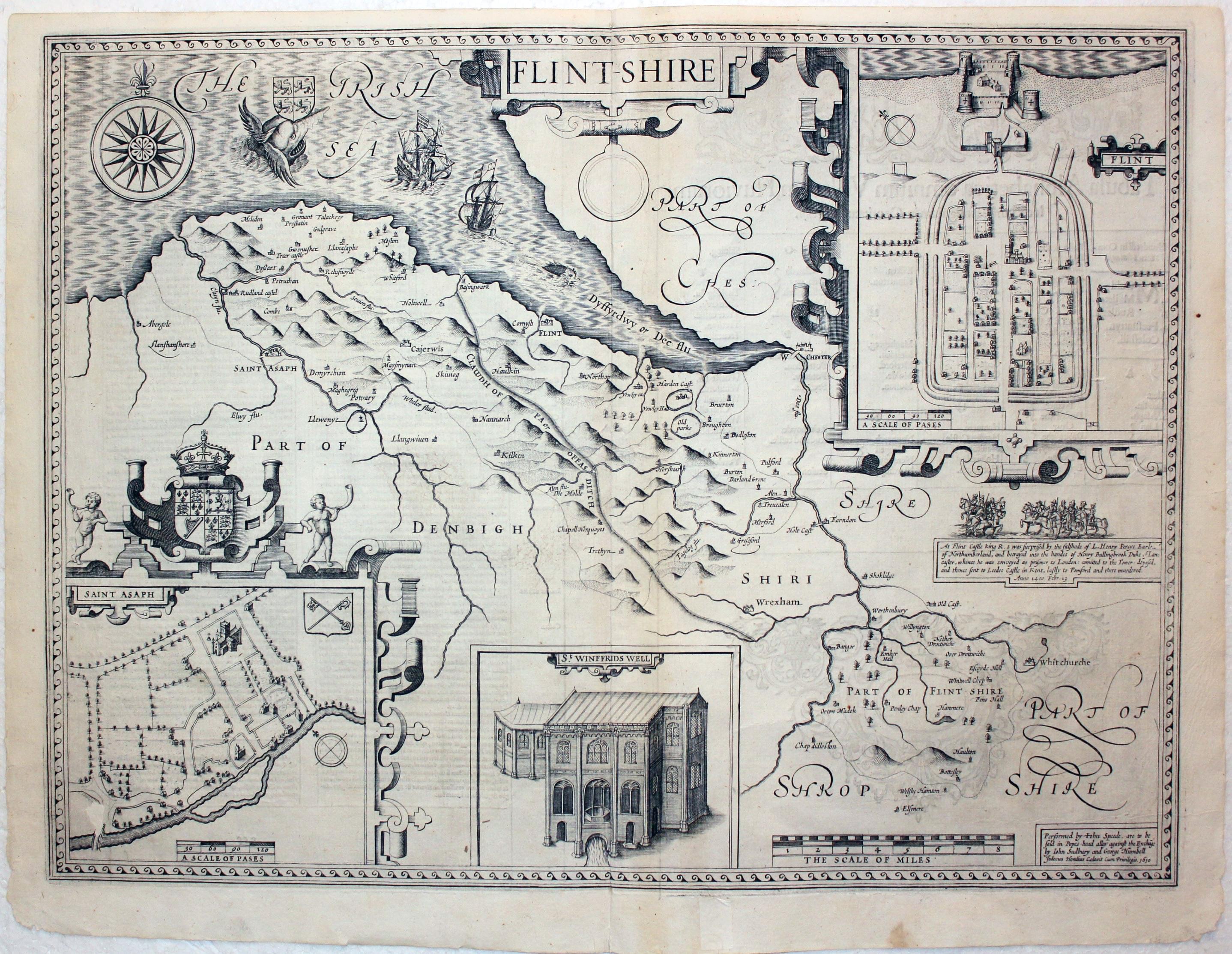
Flintshire John Speed 1616

22770 Flintshire, John Speed, 1616. Price: 390.00
FLINT-SHIRE
The rare 1616 edition of this decorative 17th century map of the county published in London by John Sudbury and George Humble. Inset town plans of Flint and St. Asaph. View of St. Winifred's Well. Description and illustration of the capture of King Richard II at Flint Castle. Compass rose, coats of arms, sea monsters and ships further embellish the map. Description of the county with a list of towns in Latin on verso. Uncoloured. A little surface loss in the St. Asaph plan area otherwise good condition.
From Theatre of the Empire of Great Britain. There was just the one edition of the atlas in 1616 to have Latin text.
Early 17th Century - Unusual
-
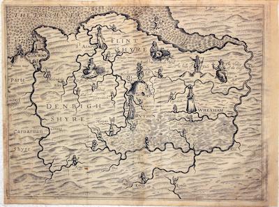
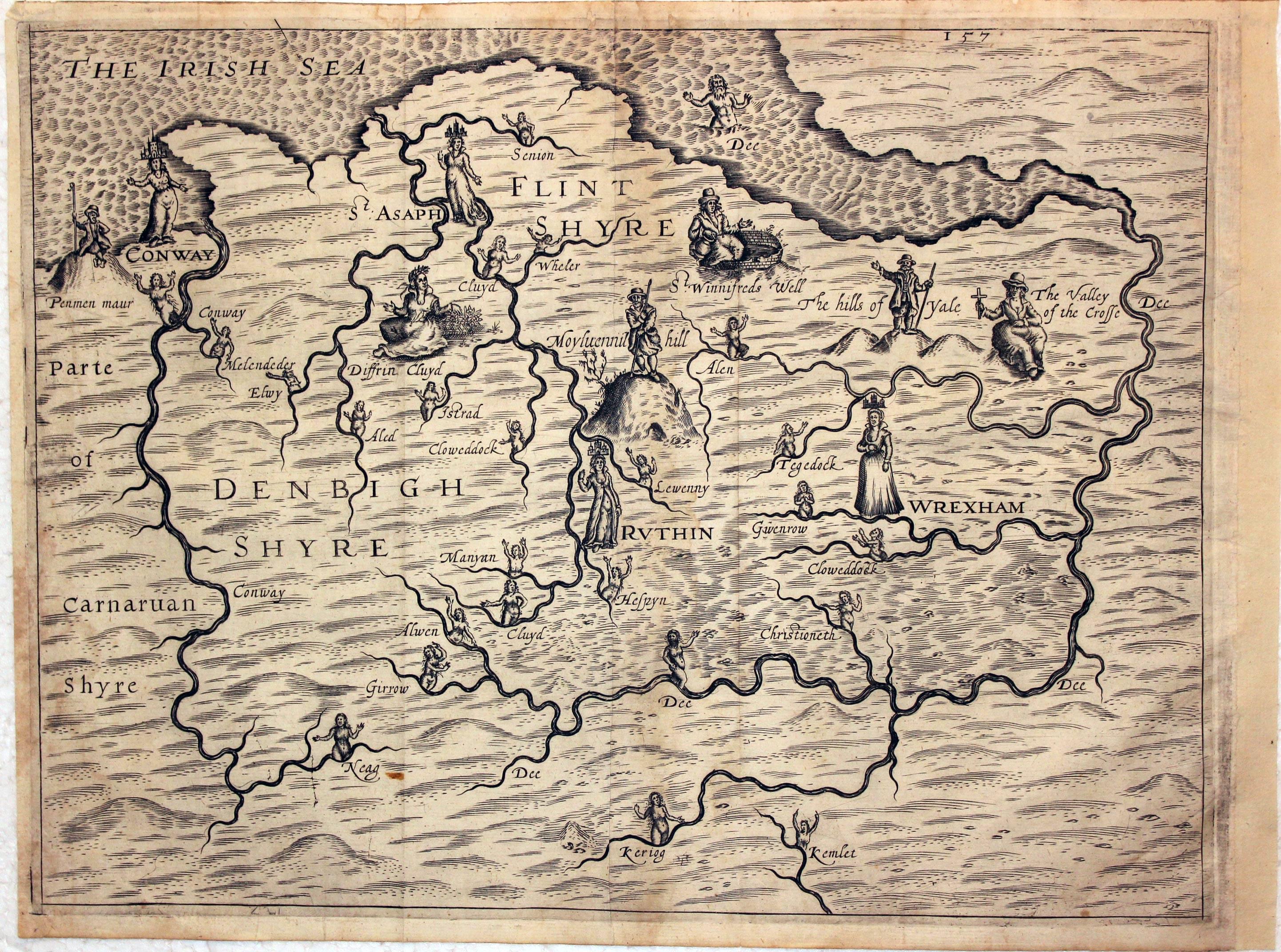
Denbighshire & Flintshire, Michael Drayton, 1622

28775 Denbighshire & Flintshire, Michael Drayton, 1622. Price: 180.00
UNTITLED
The untitled map of Denbighshire and Flintshire from Michael Drayton’s Poly-Olbion. Probably engraved by William. Hole. 13 x 10 inches. A good clean sharp impression of this unusual map embellished with many small figures and water nymphs. Good blank margins with no trimming of the margins as is sometimes the case with this map. Good clean condition.
From: Poly-Olbion
First Printed Map of the County
-

Map of Flintshire by William Kip 1637

30094 Flintshire, William Kip, 1637. Price: 68.00
FLINT COMITATUS QUEM ORDOVICES OLIM INCOLUERUNT
An early engraved map of the county after the survey by Christopher Saxton. Decorative title cartouche. Scale with pair of dividers which bears the name of Christopher Saxton and the engraver William Kip. 12 3/4 x 10 1/2 inches. Uncoloured. Good condition. A nice clear impression.
From Camden's Britannia

