Antique Maps of Montgomeryshire
Richard Nicholson of Chester
A World of Antique Maps and Prints
Established in 1961
All the Maps on this page are guaranteed to be genuine early specimens
published in or around the year stated
18th Century - Early Hand Colouring
-
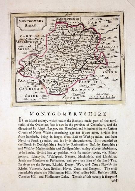
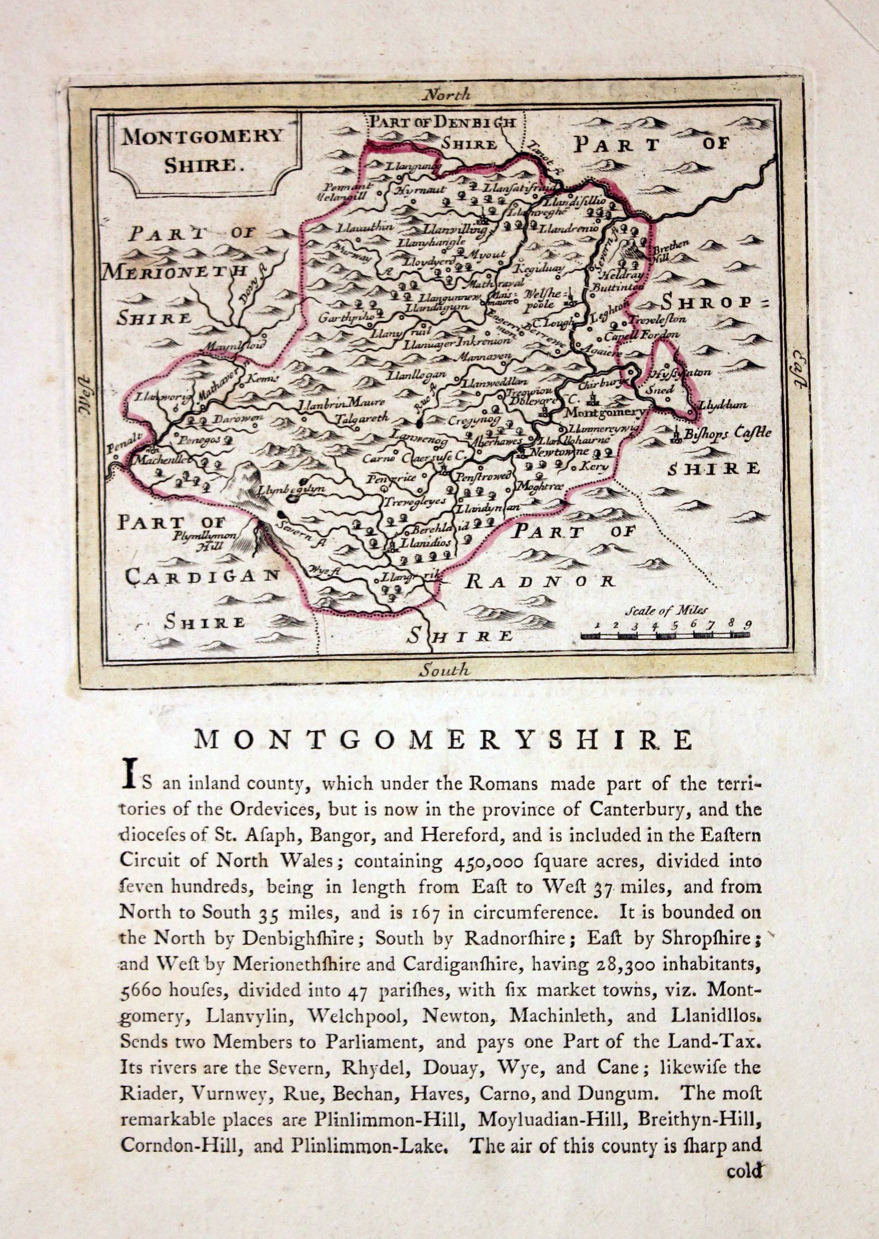
Montgomeryshire, John Seller, 1787

19405 Montgomeryshire, John Seller, 1787. Price: 22.00
MONTGOMERYSHIRE
An engraved map of the county with title panel. Beneath and continuing on verso is a description of the county. The map measures 6 x 4 3/4 inches. Printer's crease across the top right hand blank margin corner. Early outline hand colouring. Good condition.
England's Most Famous Mapmaker - John Speed
-

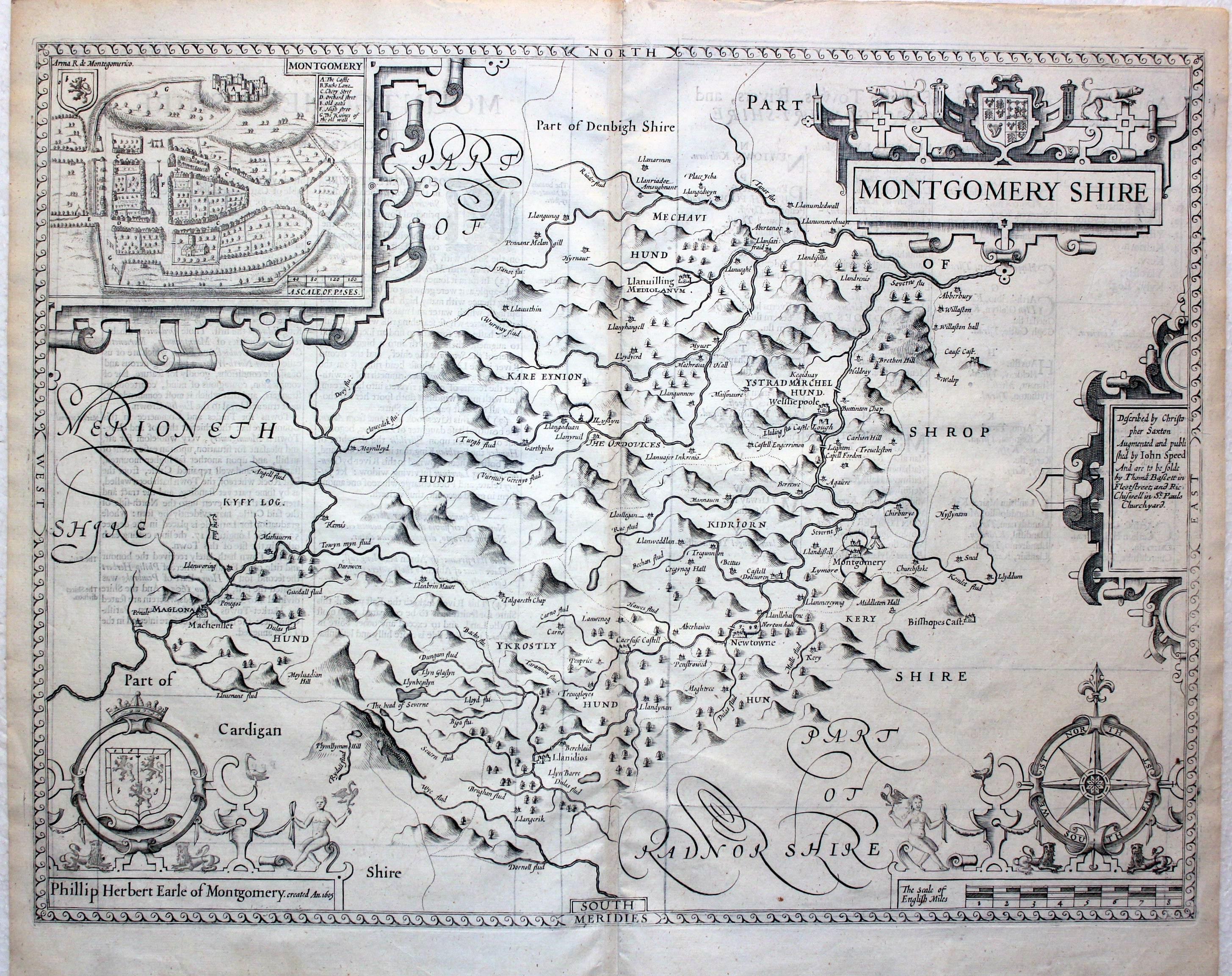
Montgomeryshire, John Speed, 1676

22765 Montgomeryshire, John Speed, 1676. Price: 280.00
MONTGOMERY SHIRE
A fine decorative engraved 17th century map of the county published in London and bearing the imprint of the publishers Thomas Bassett and Richard Chiswell. The map is embellished with five strap work cartouches displaying a town plan of Montgomery, the title, scale, compass rose, arms of Phillip Herbert Earl of Montgomery. Description of the county in English on verso with list of towns and villages.20 x 15 inches. Uncoloured. Good condition.
From: Theatre of the Empire of Great Britain
19th Century - Early Hand Colouring
-

Montgomeryshire, G. Cole and J. Roper, 1810

23760 Montgomeryshire, G. Cole and J. Roper, 1810. Price: 27.00
MONTGOMERYSHIRE
An engraved county map. Explanation and list of hundreds. 8 3/4 x 6 3/4 inches. Early wash hand colouring. Good condition.
From: The British Atlas
18th Century - County and Road Map
-

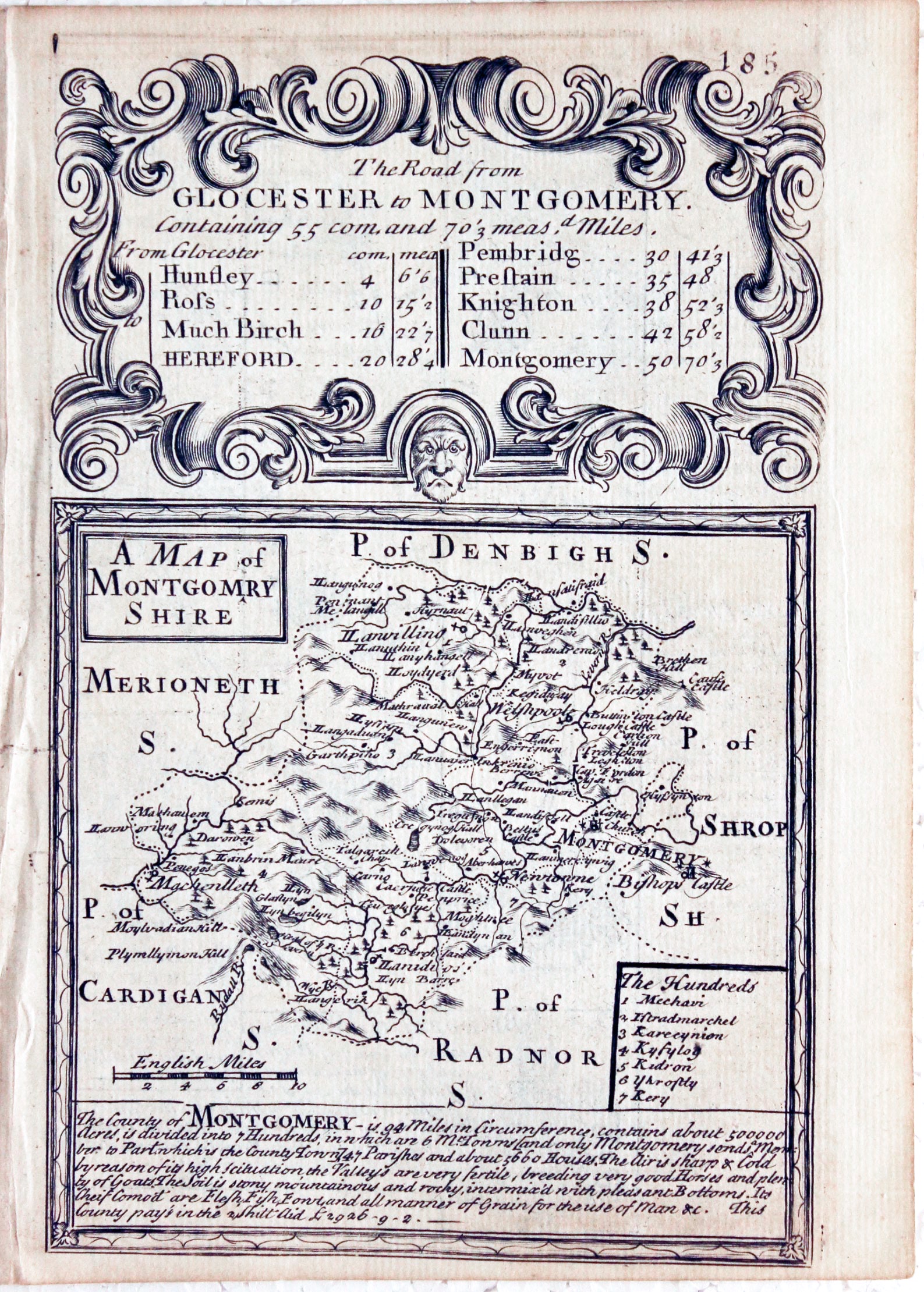
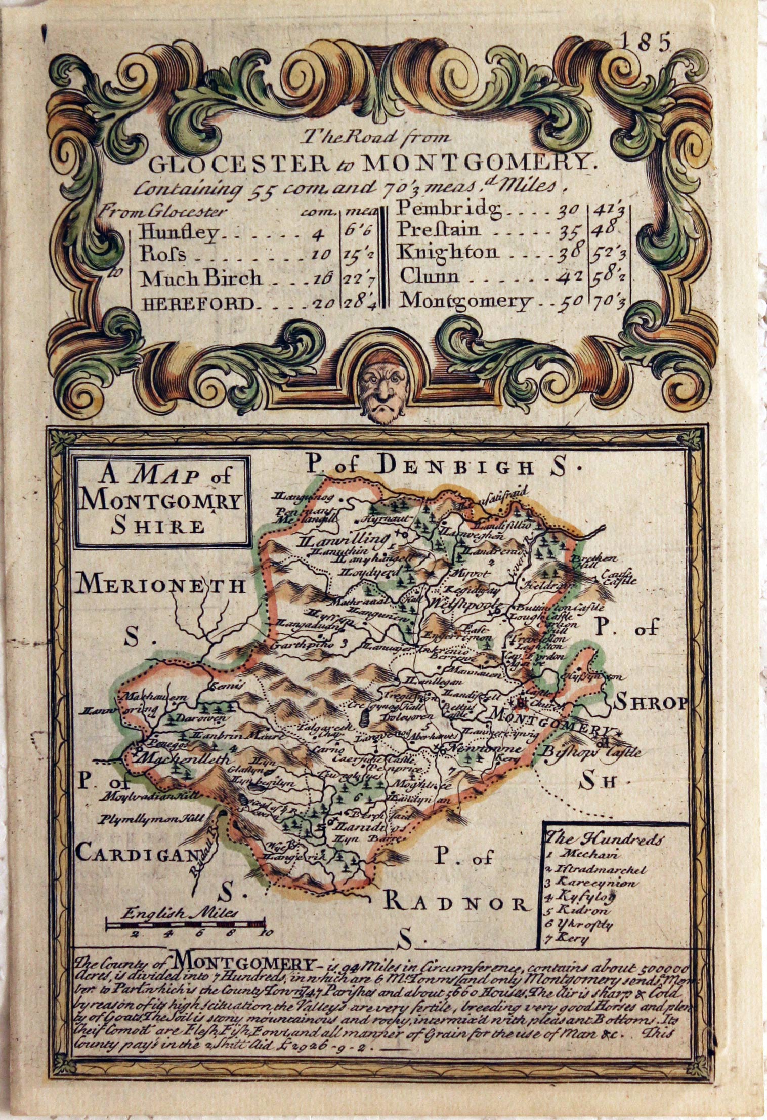
Montgomeryshire, John Owen / Emanuel Bowen, c.1730

25908 Montgomeryshire, John Owen / Emanuel Bowen, c.1730. Price: 23.00
A MAP OF MONTGOMERY SHIRE
An engraved county map with list of hundreds. Description beneath and on top a decorative baroque cartouche titled The Road from Glocester to Montgomery. Road map on verso from Gloucester to Hereford with coat of arms and engraved notes 4 x 7 inches, 115 x 185 mm. Uncoloured. Good condition.
From: Britannia Depicta
18th Century - County and Road Map
-

Montgomeryshire, John Owen and Emanuel Bowen, c.1730
-
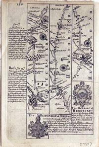
Montgomeryshire, John Owen and Emanuel Bowen, c.1730

27757 Montgomeryshire, John Owen and Emanuel Bowen, c.1730. Price: 28.00
A MAP OF MONTGOMERY SHIRE
An engraved county map with list of hundreds. Description beneath and on top a decorative baroque cartouche titled The Road from Glocester to Montgomery. Road map on verso from Gloucester to Hereford with coat of arms and engraved notes 4 x 7 1/2 inches, 115 x 185 mm. Hand coloured on the county map side only. Good condition.
From: Britannia Depicta
18th Century - County and Road Map
-

Montgomeryshire, John Owen and Emanuel Bowen, c.1730
-

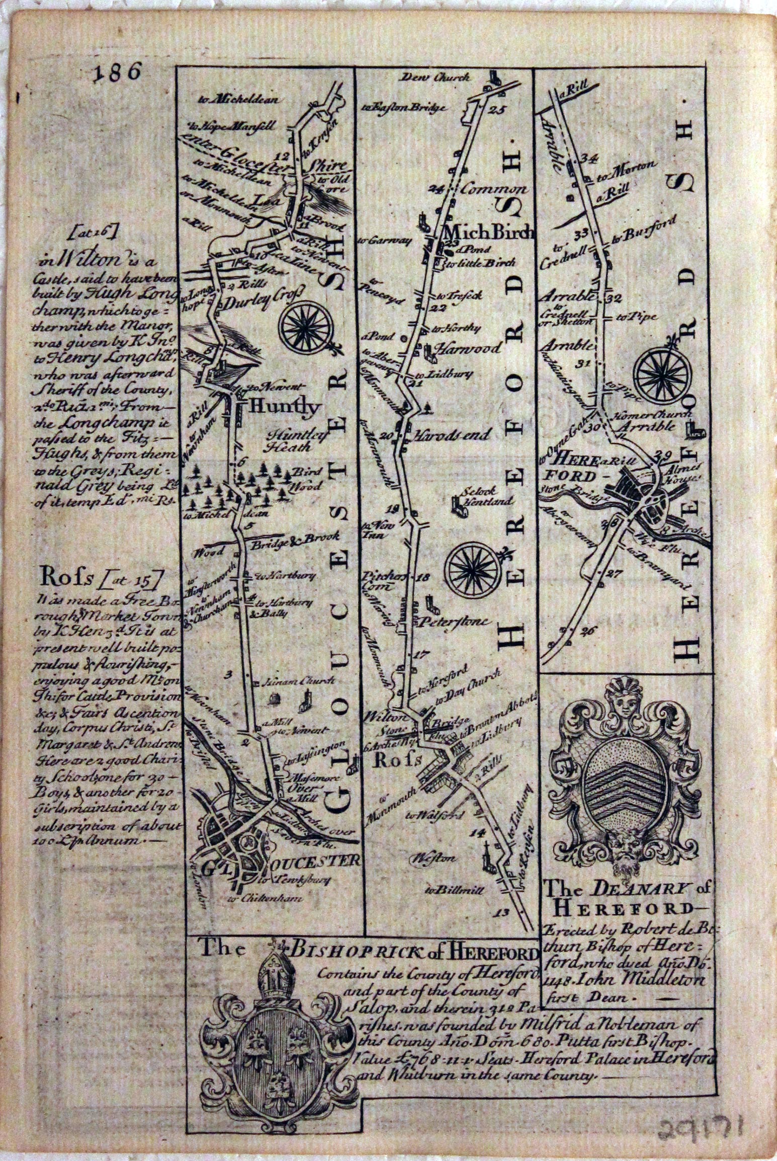
Montgomeryshire, John Owen and Emanuel Bowen, c.1730

29171 Montgomeryshire, John Owen and Emanuel Bowen, c.1730. Price: 23.00
A MAP OF MONTGOMERY SHIRE
An engraved county map with list of hundreds. Description beneath and on top a decorative baroque cartouche titled The Road from Glocester to Montgomery. Road map on verso from Gloucester to Hereford with coat of arms and engraved notes 4 x 7 inches, 115 x 185 mm. Uncoloured. Good condition.
From: Britannia Depicta
19th Century - Early Hand Colouring
-
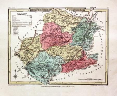
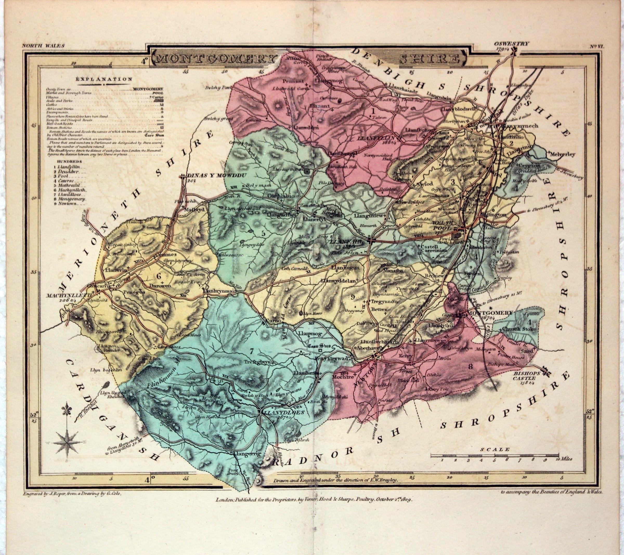
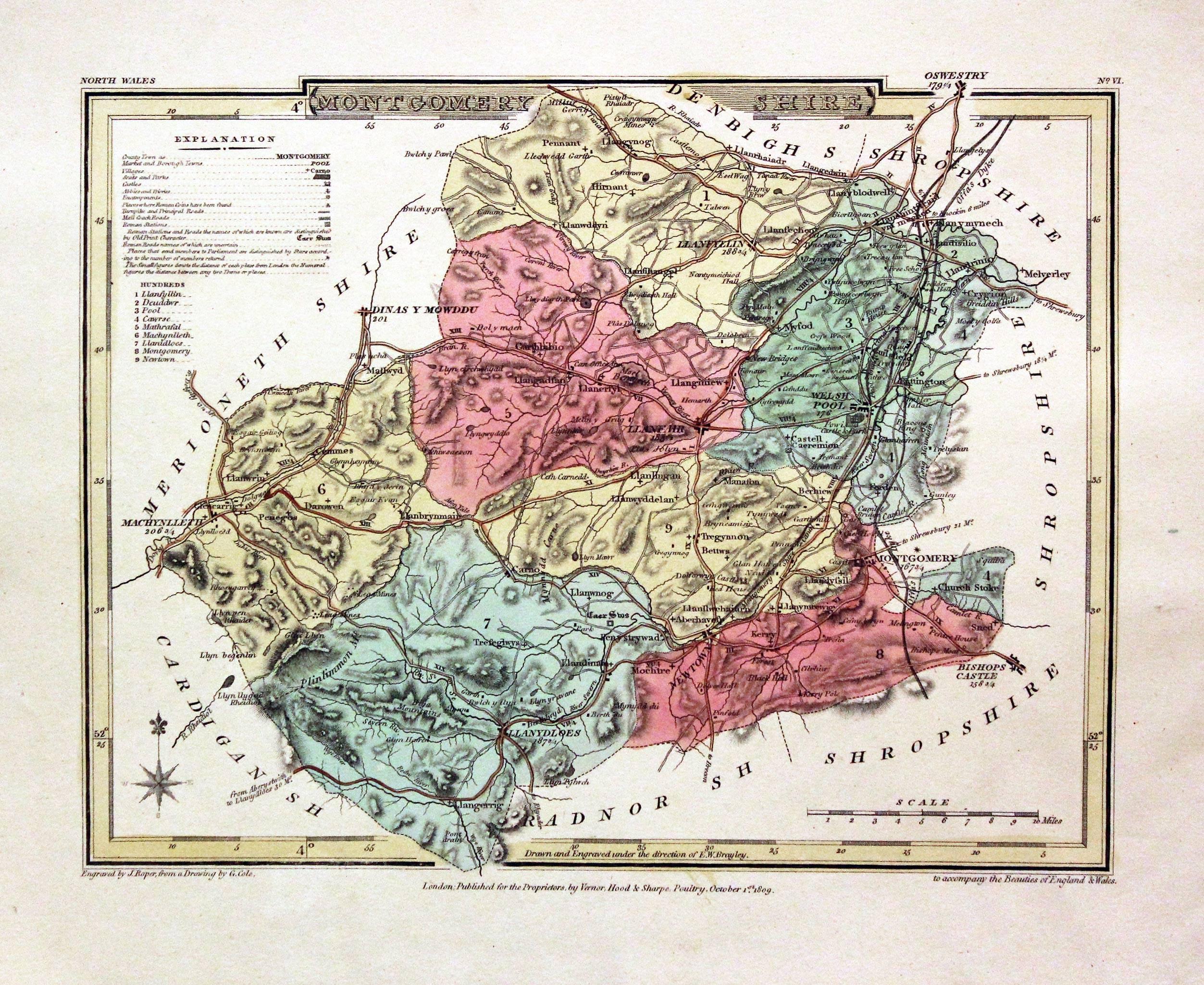
Montgomeryshire, John Cole and George Roper, 1810

30326 Montgomeryshire, John Cole and George Roper, 1810. Price: 28.00
MONTGOMERYSHIRE
A detailed engraved map of the county with explanation and list of hundreds. Publisher's imprint dated 1809. 8 x 6 inches, 220 x 173 mm. Fine early wash hand colouring. Good stout paper with wide blank margins. Good clean condition.
From: The British Atlas
19th Century - Early Hand Colouring
-
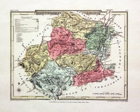
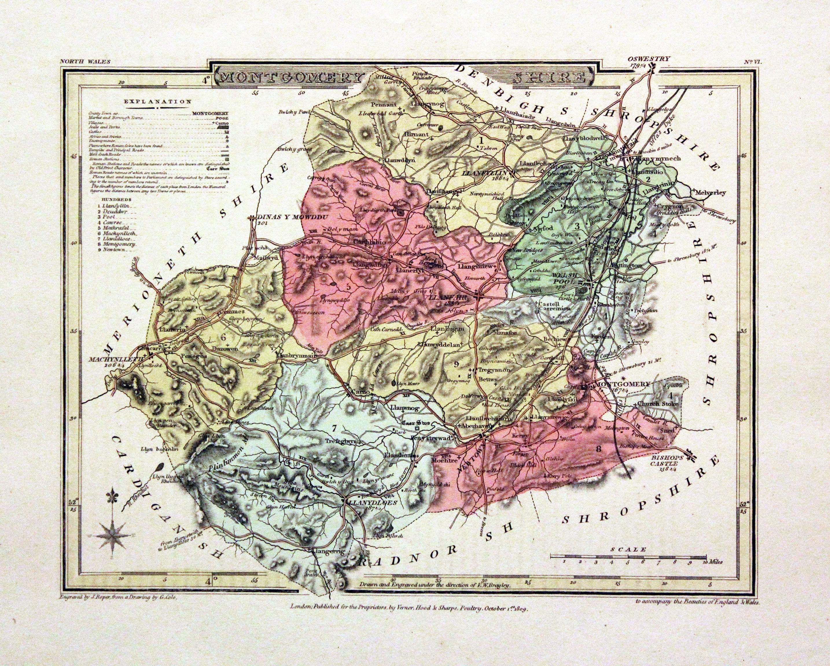
Montgomeryshire, John Cole and George Roper, 1810

30557 Montgomeryshire, John Cole and George Roper, 1810. Price: 27.00
MONTGOMERYSHIRE
A detailed engraved map of the county with explanation and list of hundreds. Publisher's imprint dated 1809. 8 x 6 inches, 220 x 173 mm. Fine early wash hand colouring. Wide blank margins. Good clean condition. With this map is the original page of descriptive text.
From: The British Atlas
19th Century - Early Hand Colouring
-
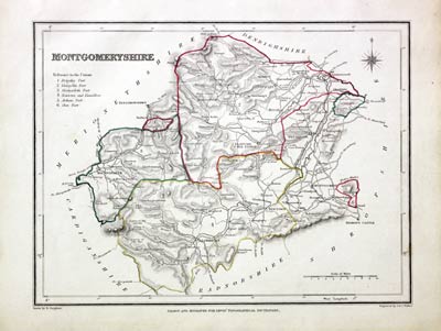
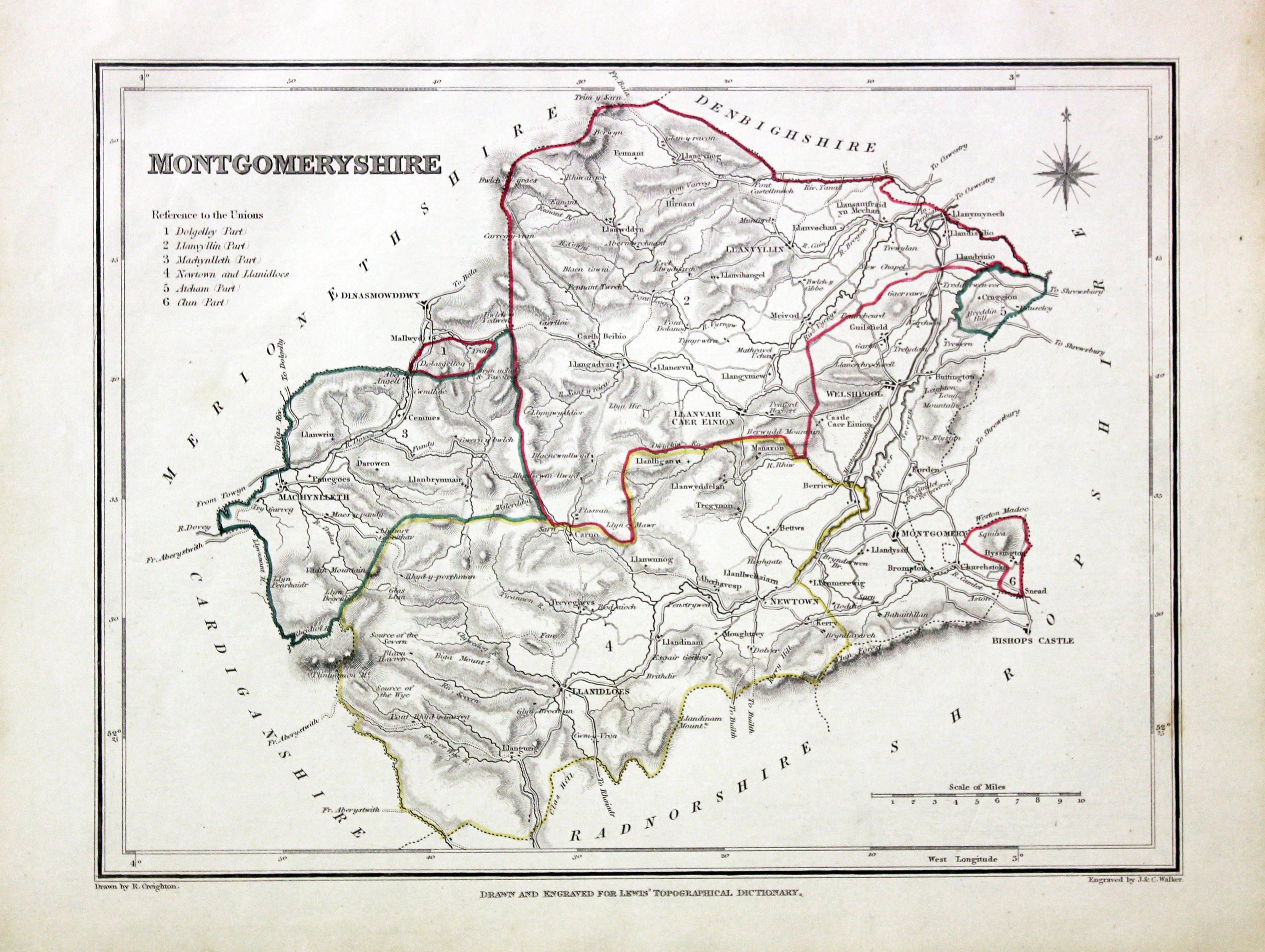
Montgomeryshire, Samuel Lewis 1845

31605 Montgomeryshire, Samuel Lewis, 1845. Price: 24.00
MONTGOMERYSHIRE
A county map drawn by R. Creighton and engraved by J. & C. Walker. Reference to the Unions. Scale. 9 x 7 inches. Original outline hand colouring. Good clean condition. Straight from the atlas and not sold as a single map before now.
From: Lewis' Atlas to the Topographical Dictionaries of England and Wales
Early 17th Century - Unusual
-
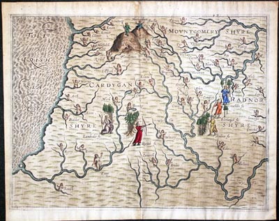
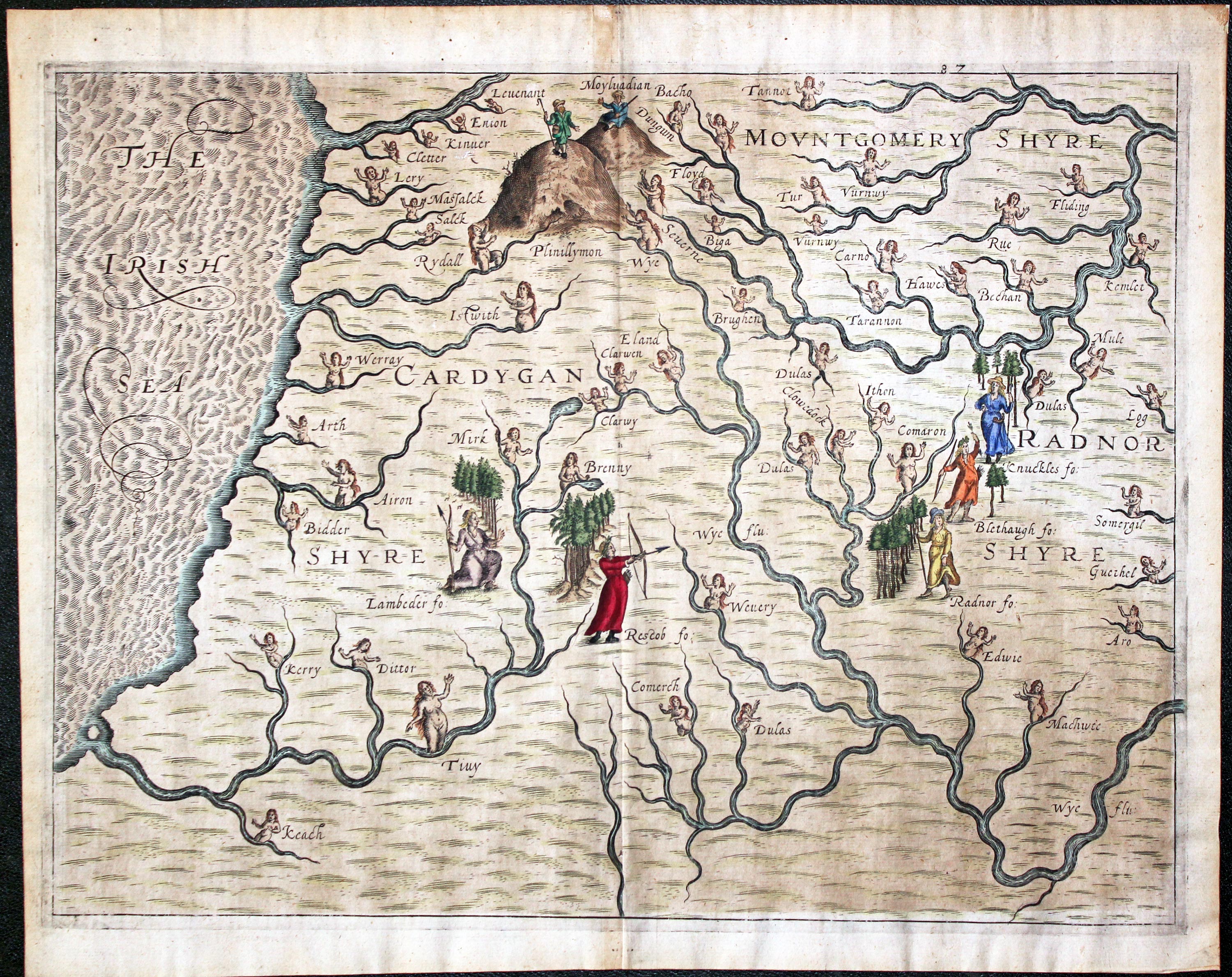
Montgomeryshire, Cardiganshire and Radnorshire Michael Drayton 1622

31985 Montgomeryshire, Cardiganshire and Radnorshire, Michael Drayton/William Hole, 1622. Price: 140.00
Montgomeryshire, Cardiganshire and Radnorshire
A most unusual early untitled engraved map showing part of the three counties to illustrate Michael Drayton's poems in the Poly-Olbion. The map shows no boundaries but is embellished with many small figures, tree and mountains in relief. Centre fold as published. 13 x 10 inches, 330 x 250 mm. Attractive hand colouring. Fine clean condition with good sized blank margins.
From: Poly-Olbion
Early 17th Century
-

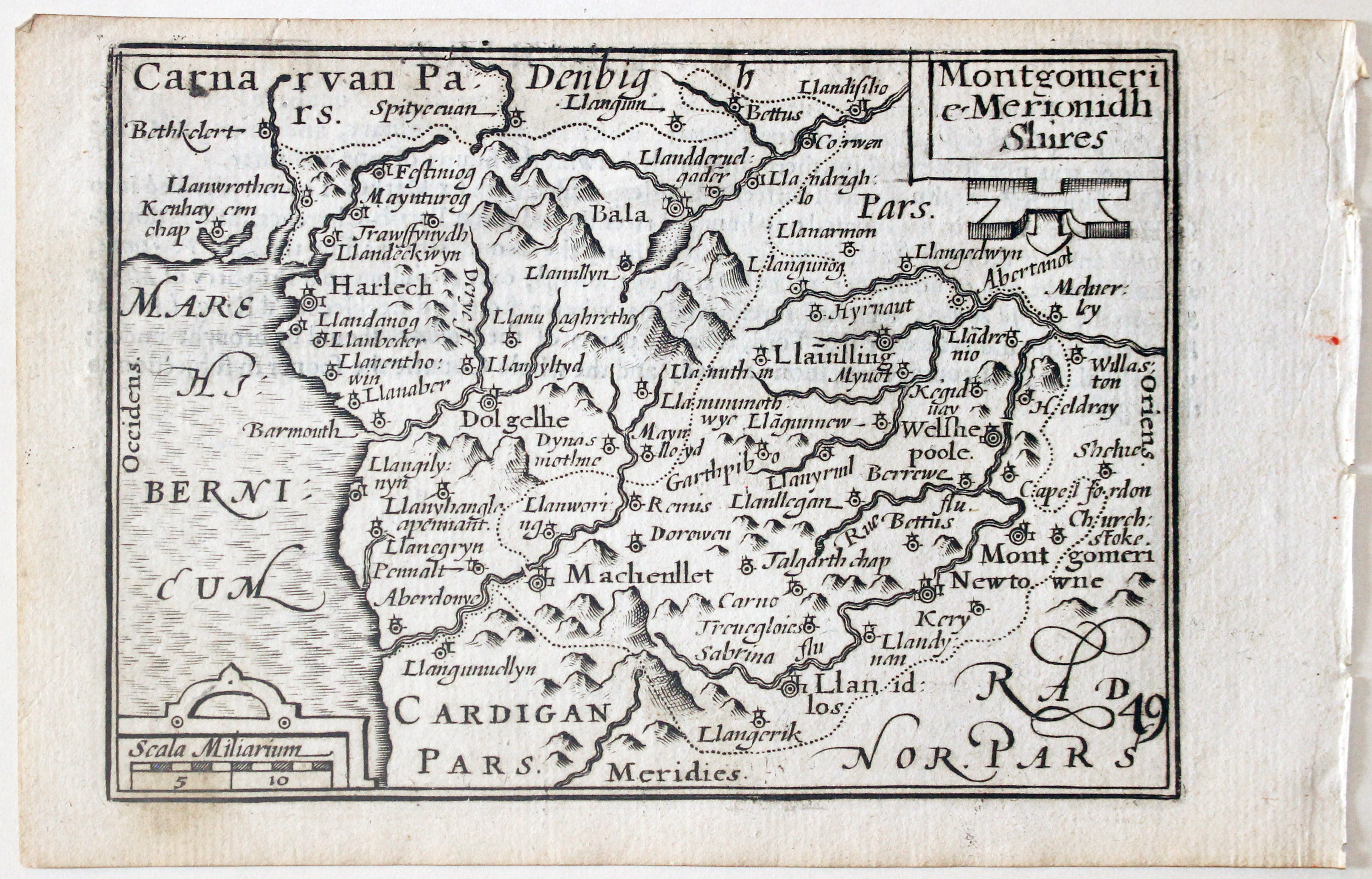
Montgomeryshire and Merionethshire by Pieter van den Keere, c.1627

32662 Montgomeryshire and Merionethshire, Pieter van den Keere, c.1627. Price: 46.00
MONTGOMERI E MERIONDH SHIRES
A early engraved miniature map of the counties of Montgoeryshire and Merionethshire. Two strapwork cartouches display the title and scale. Numbered 49. 4 3/4 x 3 1/4 inches. A clean undamaged uncoloured specimen. On verso is the end of a description of Monmouthshire in English. With this map are the following three double sided page of text that describe the counties of Montgomeryshire and Merionethshire. Straight from the atlas and not previously sold as a single map. The title page of the atlas is dated 1627
From: England Wales Scotland and Ireland Described.
19th Century - Early Hand Colouring
-

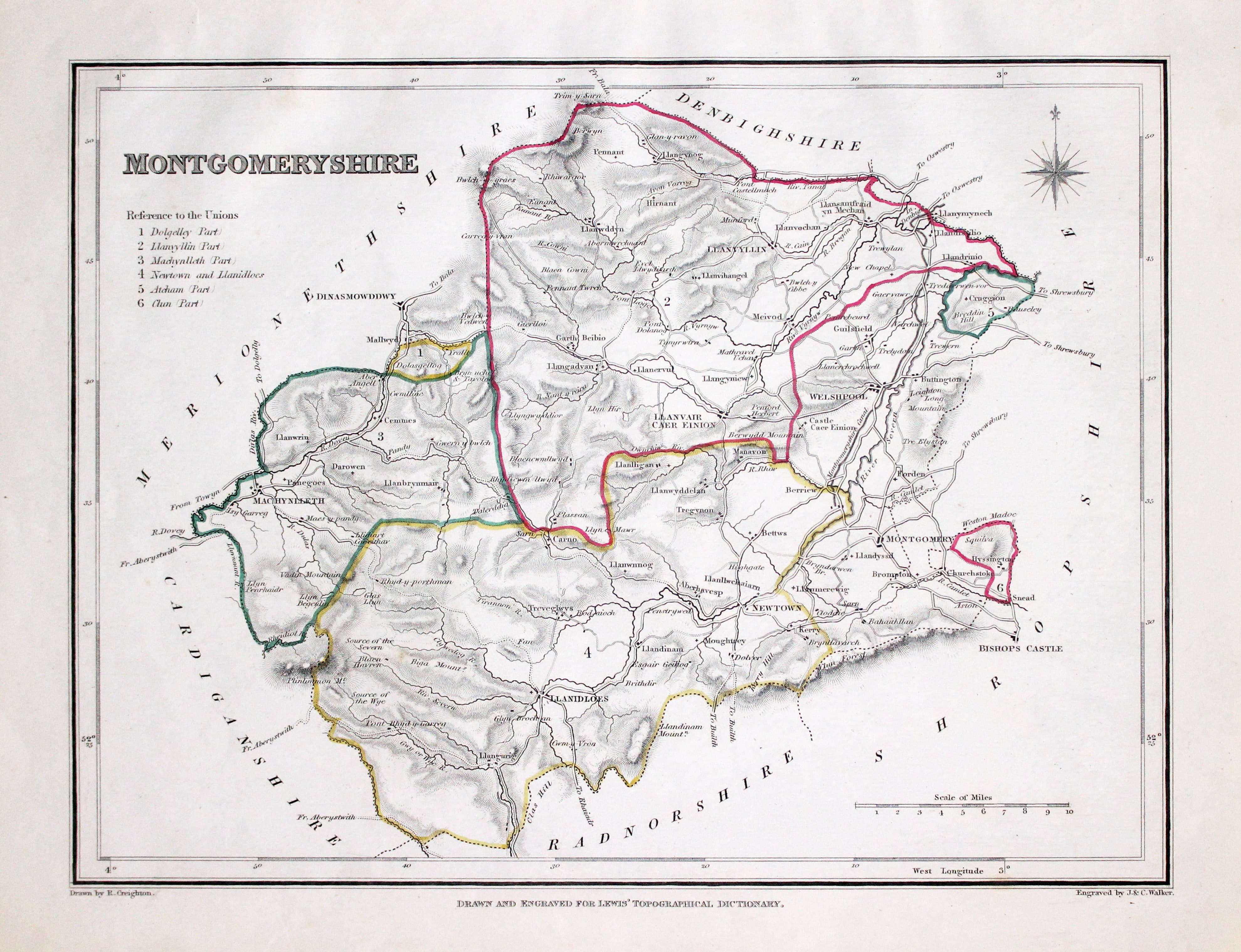
Map of Merioneshire by Samuel Lewis 1848

32924 Montgomeryshire, Samuel Lewis, 1848. Price: 24.00
MONTGOMERYSHIRE
A county map drawn by R. Creighton and engraved by J. & C. Walker. Reference to the Unions. Scale. 9 x 7 inches. Original outline hand colouring. Good clean condition. Straight from the atlas and not sold as a single map before now.
From: Lewis' Atlas to the Topographical Dictionaries of England and Wales
Early 17th Century
-

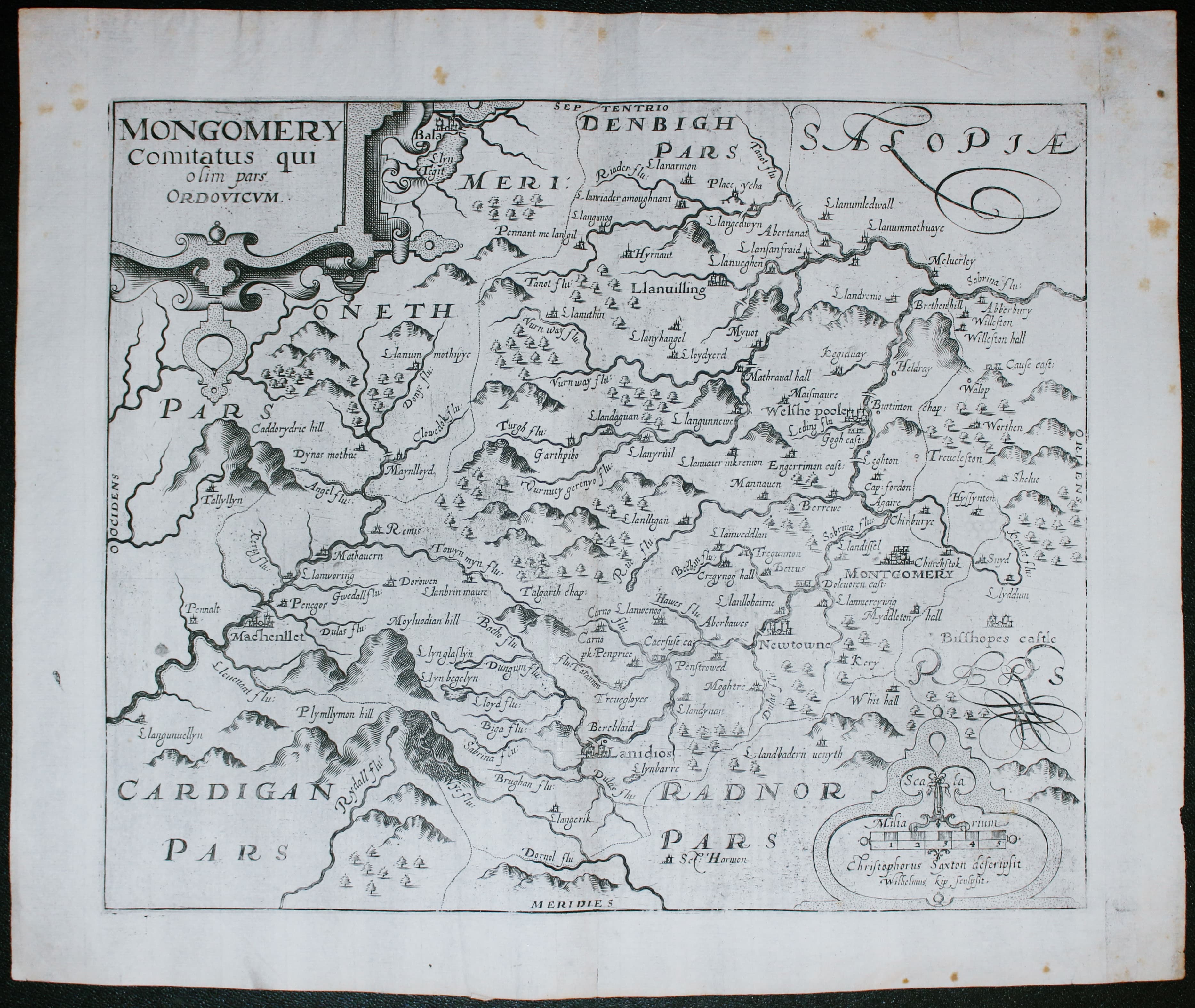
Map of Montgomeryshire Saxton / William Kip 1610

33061 Montgomeryshire, Christopher Saxton / William Kip, 1610. Price: 70.00
MONTGOMERY COMITATUS QUI OLIM PARS ORDOVICUM
An early map of the county engraved by William Kip after the survey by Christopher Saxton. Decorative title and scale cartouches. 12 3/4 x 10 1/2 inches. Uncoloured. Original centre fold. A nice dark impression. This is state II of the map having no plate number in the bottom right hand corner.
From: Camden’s Britannia
This is the first engraved map showing the county of Montgomeryshire on its own. Christopher Saxton from whose survey the map is taken included Montgomeryshire with other counties.
Early 17th Century
-

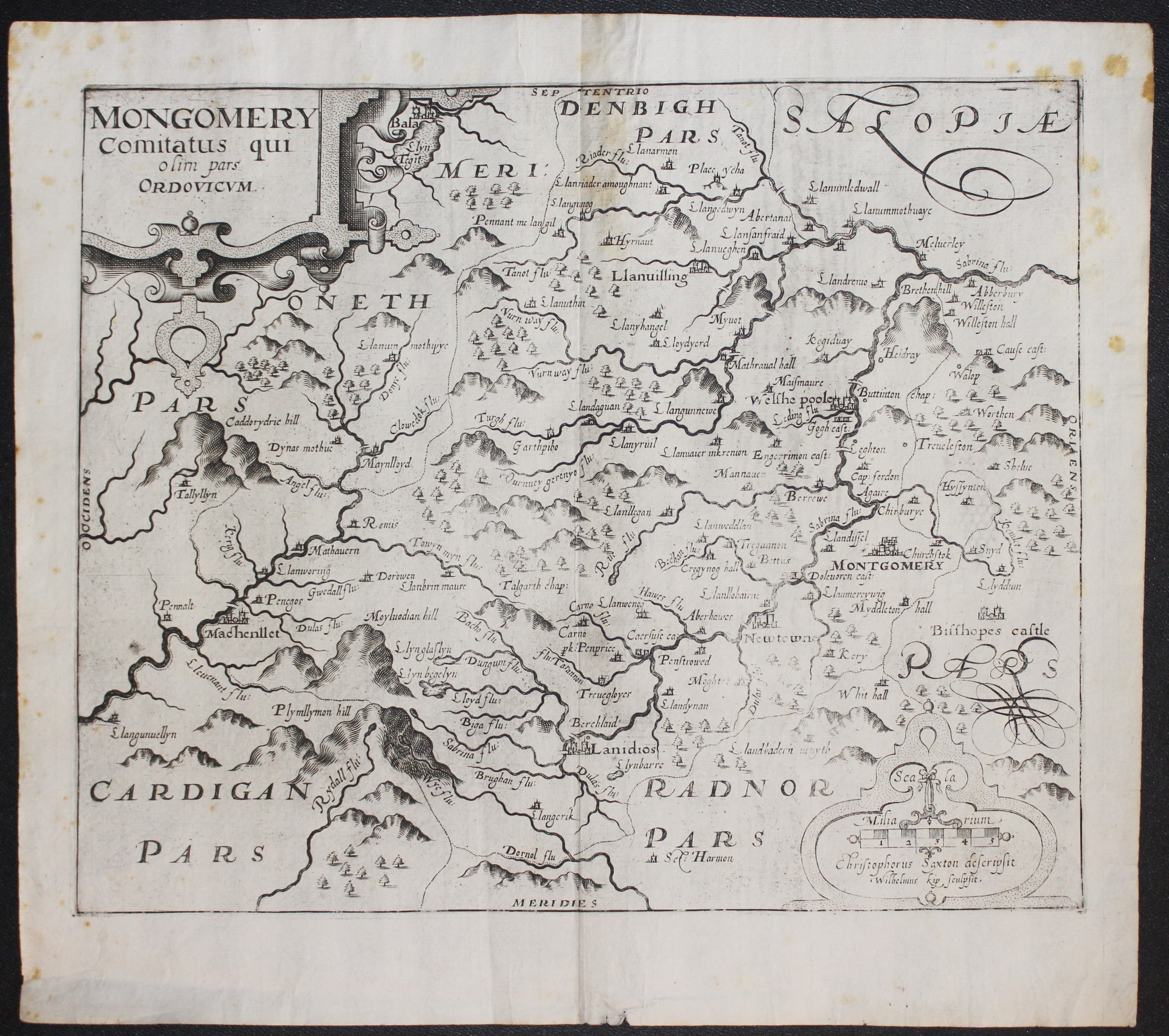
Map of Montgomeryshire Saxton / William Kip 1610

33079 Montgomeryshire, Christopher Saxton / William Kip, 1610. Price: 65.00
MONTGOMERY COMITATUS QUI OLIM PARS ORDOVICUM
An early map of the county engraved by William Kip after the survey by Christopher Saxton. Decorative title and scale cartouches. 12 3/4 x 10 1/2 inches. Uncoloured. Original centre fold. Very small slit at the bottom of the centre fold. A few foxing spots in the blank margins. A nice dark impression. This is state II of the map having no plate number in the bottom right hand corner. From: Camden’s Britannia
This is the first engraved map showing the county of Montgomeryshire on its own. Christopher Saxton from whose survey the map is taken included Montgomeryshire with other counties.
Early 17th Century
-
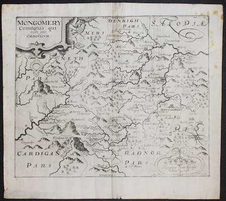
Map of Montgomeryshire Saxton / William Kip 1637

33096 Montgomeryshire, Christopher Saxton / William Kip, 1610. Price: 60.00
MONTGOMERY COMITATUS QUI OLIM PARS ORDOVICUM
An early map of the county engraved by William Kip after the survey by Christopher Saxton. Decorative title and scale cartouches. 12 3/4 x 10 1/2 inches. Uncoloured. Original centre fold. A few foxing spots mainly in the blank margins. A nice dark impression. This is state II of the map having no plate number in the bottom right hand corner. From: Camden’s Britannia
This is the first engraved map showing the county of Montgomeryshire on its own. Christopher Saxton from whose survey the map is taken included Montgomeryshire with other counties.
Early 17th Century
-
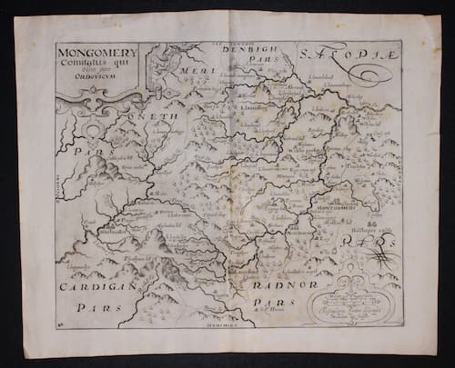
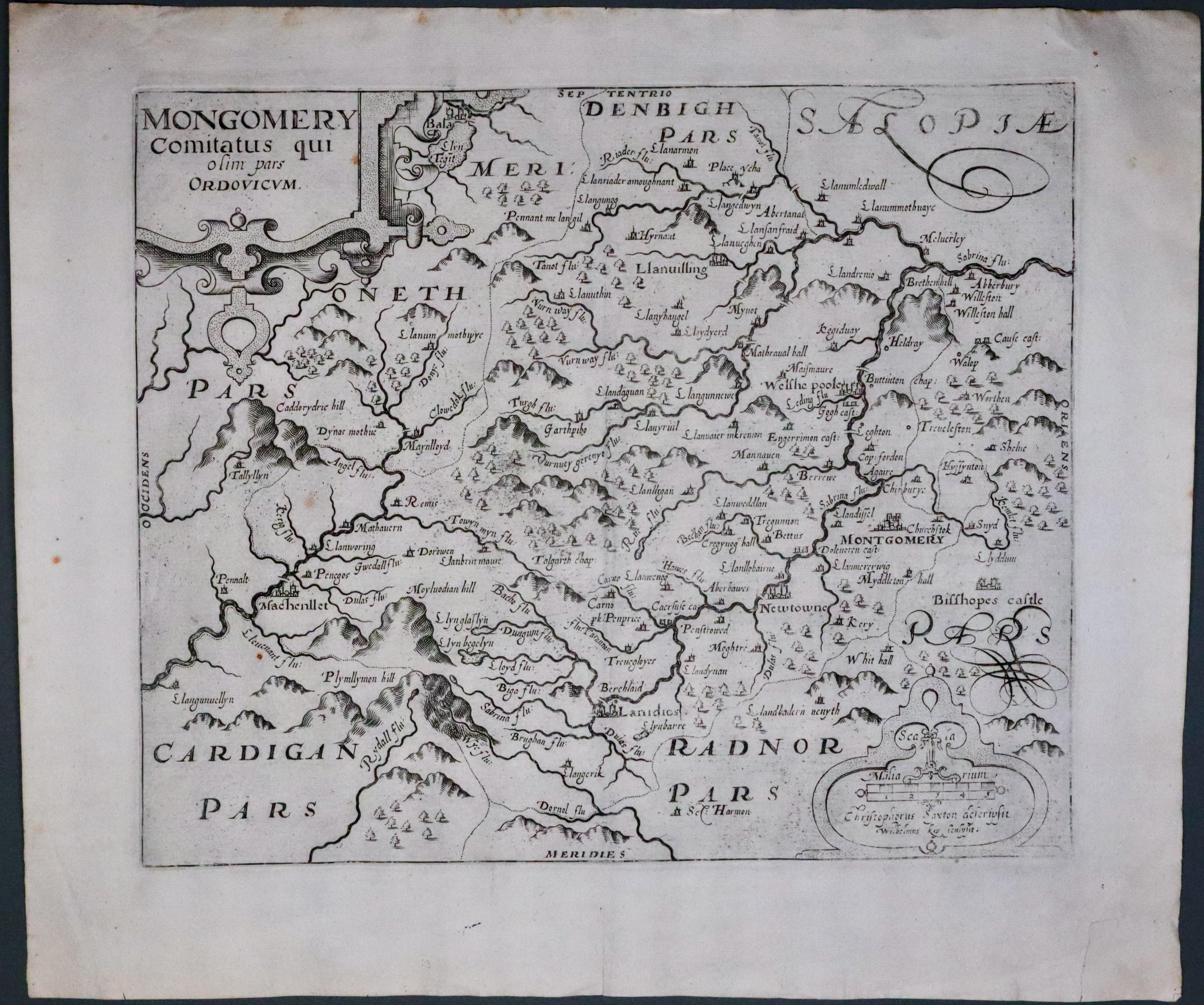
Map of Montgomeryshire Saxton / William Kip 1637

33108 Montgomeryshire, Christopher Saxton / William Kip, 1637. Price: 30.00
MONTGOMERY COMITATUS QUI OLIM PARS ORDOVICUM
An early map of the county engraved by William Kip after the survey by Christopher Saxton. Decorative title and scale cartouches. 12 3/4 x 10 1/2 inches. Uncoloured. Original centre fold. Few small nicks on out edge of wide blank margin. Splits in centre fold where some slight restoration required but the the good thing is that there appears to be no engraved area missing so it should be a good outcome. This is state 3 of the map having the plate number 42 in the bottom left hand corner.
Special price
This is the first engraved map showing the county of Montgomeryshire on its own. Christopher Saxton from whose survey the map is taken included Montgomeryshire with other counties.
18th Century
-

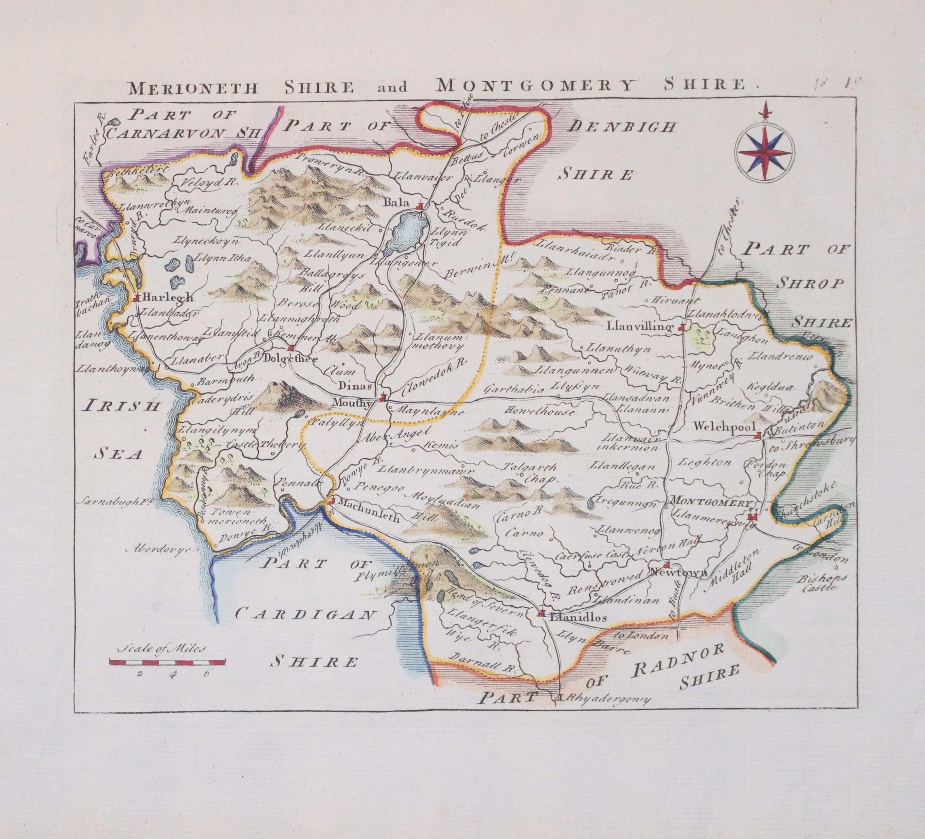
Map of Merionethshire and Montgomeryshire by John Rocque 1769

33160 Merionehshire and Montgomeryshire, John Rocque, 1769. Price: 37.00
MERIONETHSHIRE AND MONTGOMERYSHIRE
An engraved map of the two Welsh counties. Compass rose and scale. 7 1/2 x 6 inches. Nicely hand coloured. Very good condition. From England Displayed
Early 17th Century
-
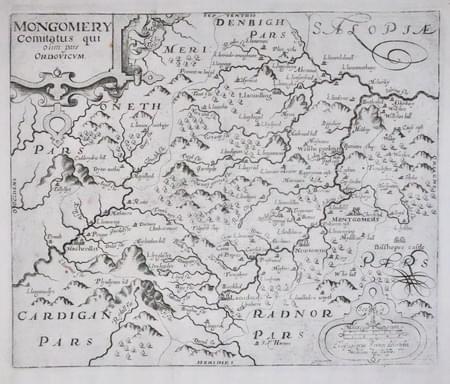
Merionethshire Saxton / William Kip 1610
33095 Merionethshire, Christopher Saxton / William Kip, 1610. Price: 50.00
MONTGOMERY COMITATUS QUI OLIM PARS ORDOVICUM
An early map of the county engraved by William Kip after the survey by Christopher Saxton. Decorative title and scale cartouches. 12 3/4 x 10 1/2 inches. Uncoloured. Good wide blank margin. Single tear in the bottom right hand blank marin repaired, otherwise good condition. This is state 2 of the map having no Latin text on verso and no plate number in the bottom left hand corner.
This is the first engraved map showing the county of Montgomeryshire on its own. Christopher Saxton from whose survey the map is taken included Montgomeryshire with other counties.


