Antique Maps of Cardiganshire
Richard Nicholson of Chester
A World of Antique Maps and Prints
Established in 1961
All the Maps on this page are guaranteed to be genuine early specimens
published in or around the year stated
19th Century
-

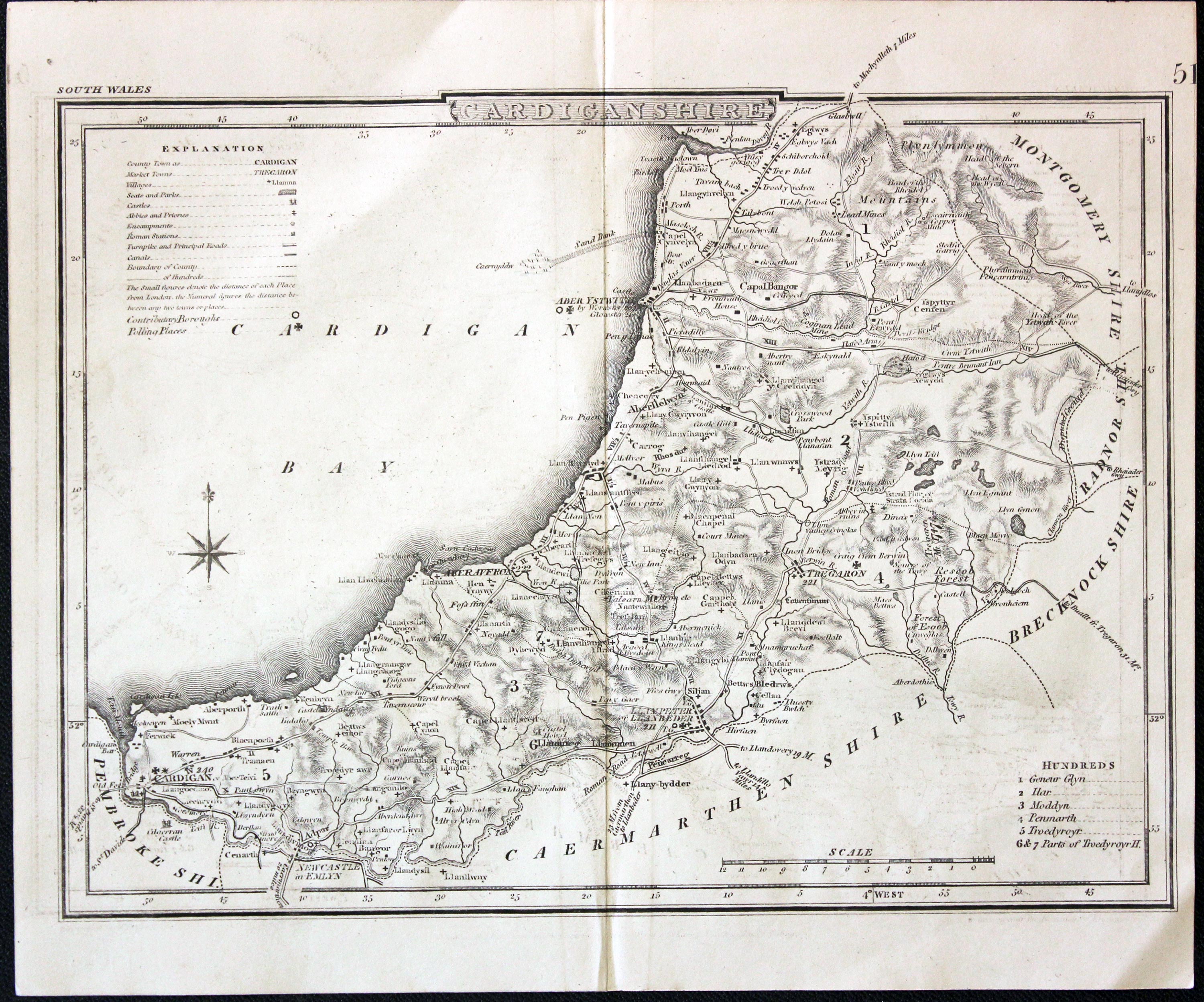
Cardiganshire, John Cole and George Roper, c.1845

17530 Cardiganshire, John Cole and George Roper, c.1845. Price: 7.50
CARDIGANSHIRE
An engraved maps of the county. Explanation, scale, compass rose and list of hundreds. 9 1/2 x 7 inches.Uncoloured. Good condition.
A later edition of the Cole & Roper map published in 1810.
.
19th Century
-

Cardiganshire, John Owen and Emanuel Bowen, c.1730

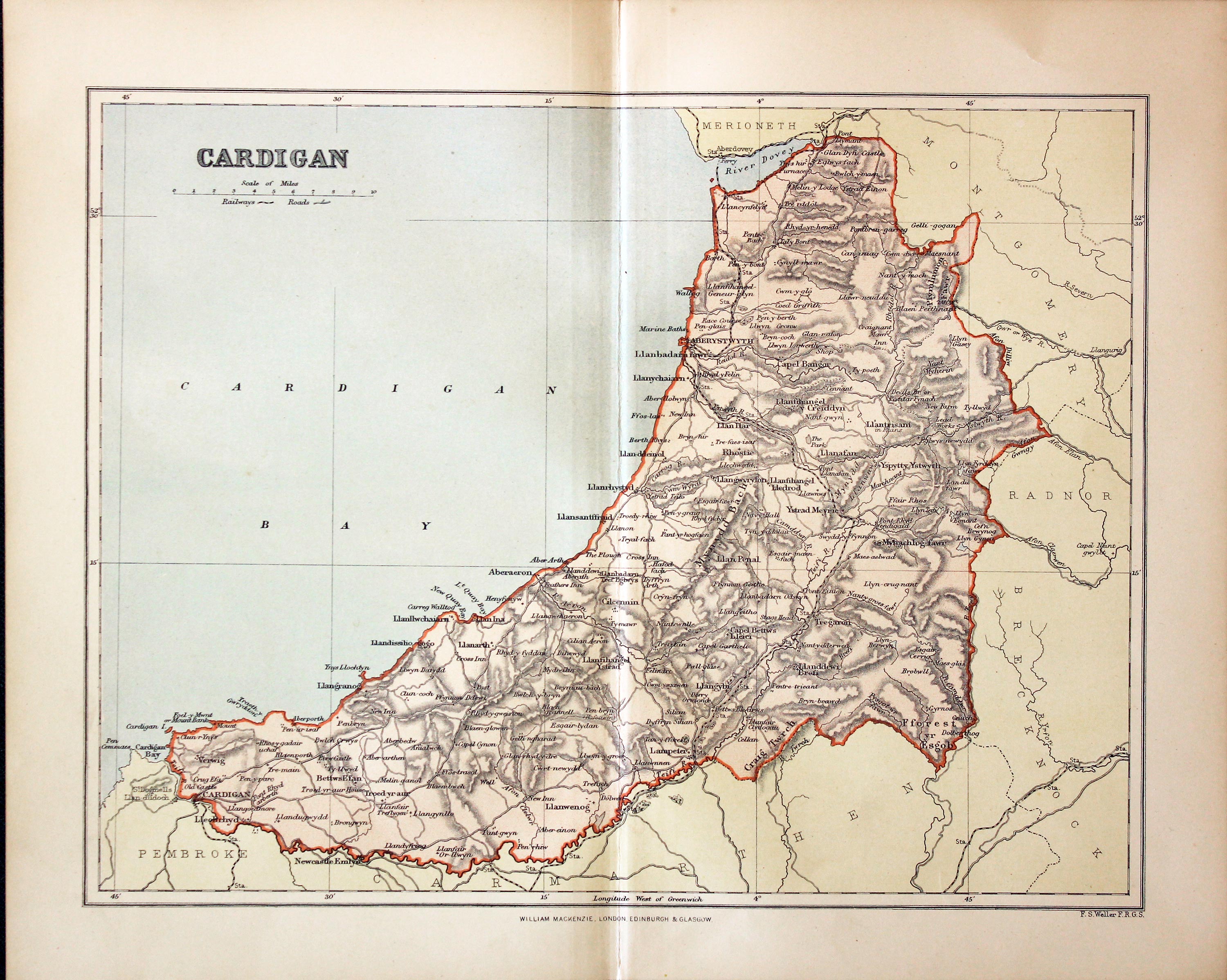
27315 Cardiganshire, Francis Sydney Weller, c.1898. Price: 7.50
CARDIGAN
A colour print lithograph county map. Includes the railways at that time. 8 1/2 x 11 inches. Good condition.
From: The Comprehensive Gazetteer of England Wales
19th Century - Early Hand Colouring
-

Cardiganshire. Joseph Nightingale, 1816

28236 Cardiganshire. Joseph Nightingale, 1816. Price: 28.00
CARDIGANSHIRE
An engraved map of the county divided into hundreds. Explanation and list of hundreds. 9 1/4 x 6 3/4 inches. Original outline hand colouring. A little light foxing in the blank margins otherwise good condition. With the map is the original page of text describing the county.
From: English Topography or, A Series of Historical and Statistical Descriptions of the Several Counties of England and Wales. Printed for Baldwin, Craddock, and Joy Paternoster-Row 1816
19th Century
-

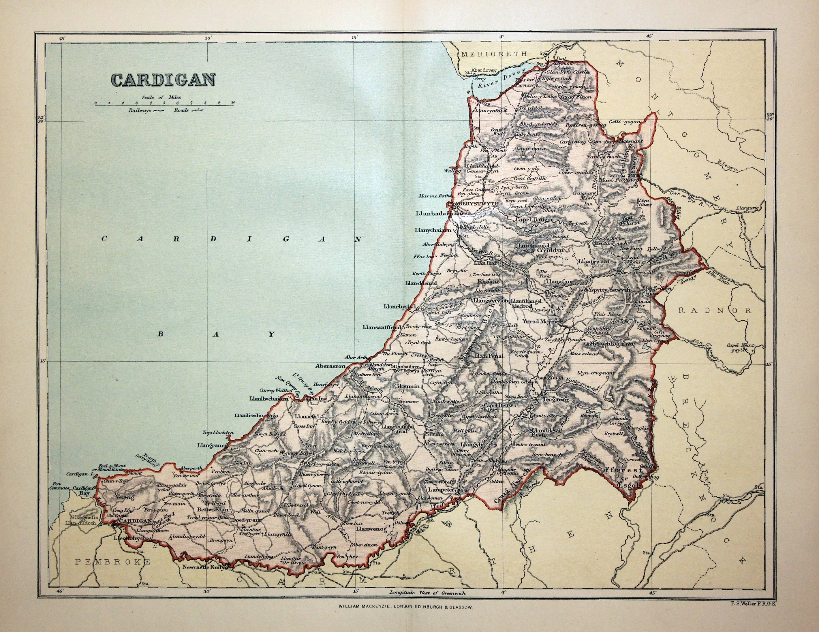
Cardiganshire, Francis Sydney Weller, 1898

28695 Cardiganshire, Francis Sydney Weller, 1898. Price: 9.50
CARDIGAN
A colour print lithograph county map of Cardiganshire. Includes the railways at that time. 11 x 8 1/2 inches. Good condition.
From: The Comprehensive Gazetteer of England Wales
England's Most Famous Mapmaker
-

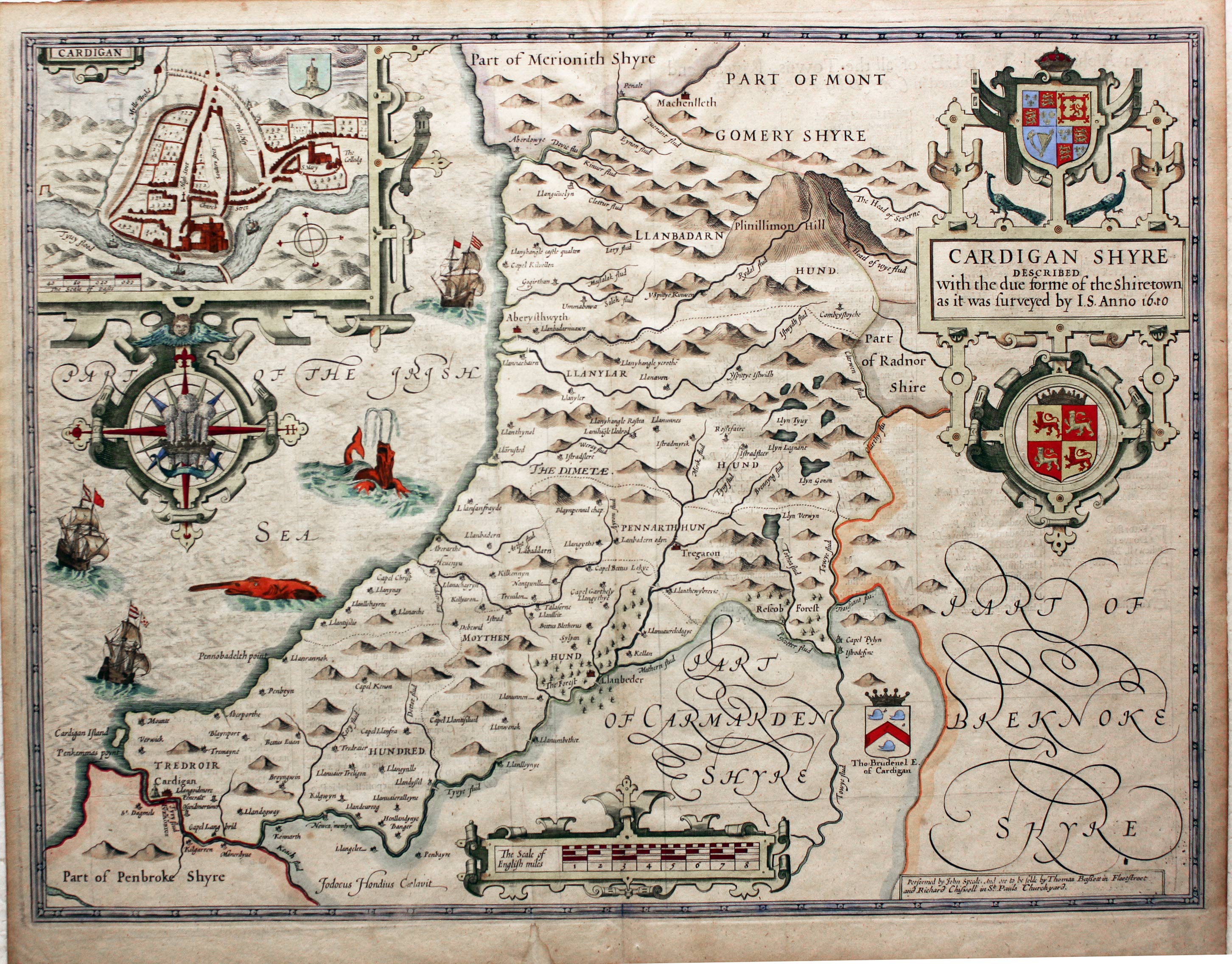
Cardiganshire, John Speed, 1676

29310 Cardiganshire, John Speed, 1676. Price: 340.00
CARDIGAN SHYRE DESCRIBED WITH THE DUE FORME OF THE SHIRE-TOWN AS IT WAS SURVEYED BY J.S. ANNO 1610
A fine decorative map of the county published in London by Thomas Bassett and Richard Chiswell. Large strapwork title cartouche incorporating the Royal Arms and the Arms of Wales. Town plan of Cardigan within a strapwork cartouche from which is suspended an elaborate compass rose with the Prince of Wales Feathers. Scale cartouche. Arms of Thomas Brudenel, Inset town plan of Cardigan. Three ships and two sea monsters. List of towns on verso with a description of the county. 20 x 15 inches. Attractive hand colouring. Fine clean condition.
From: The Theatre of the Empire of Great Britaine
19th Century
-

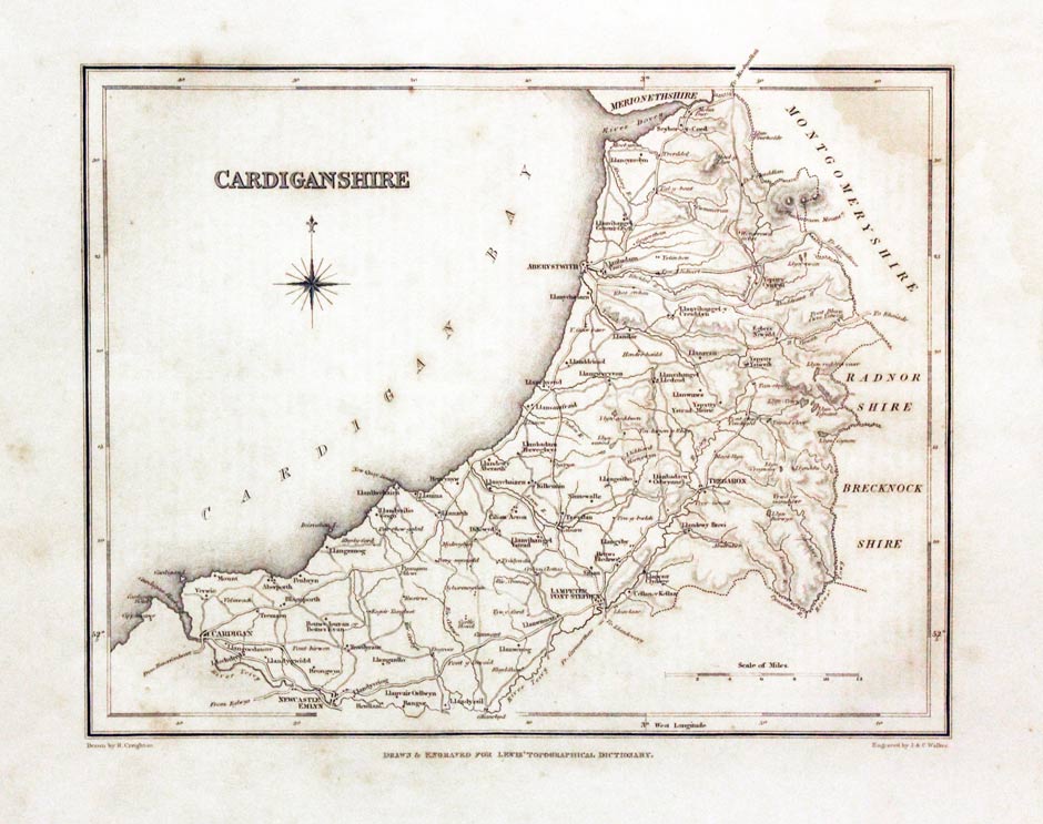
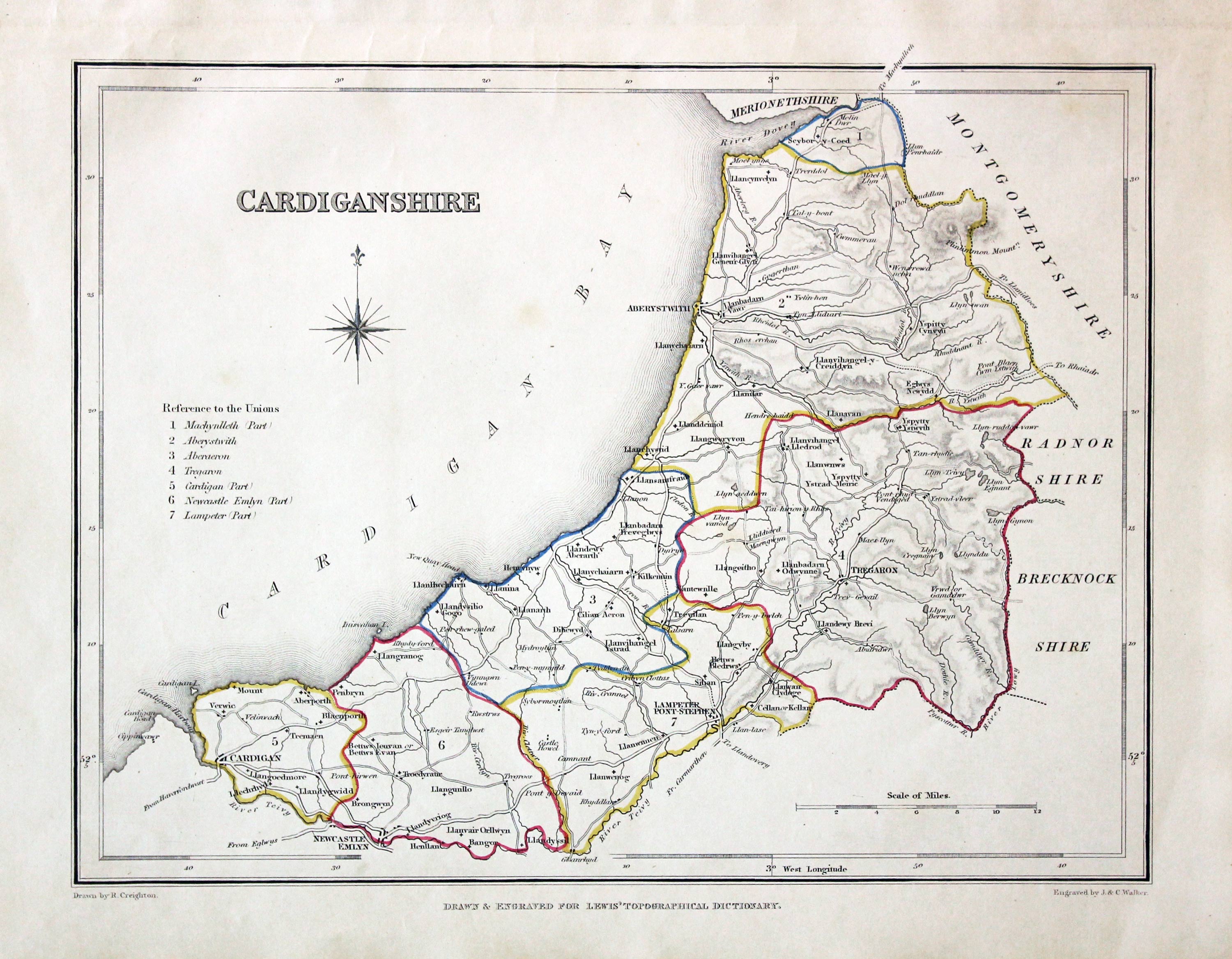
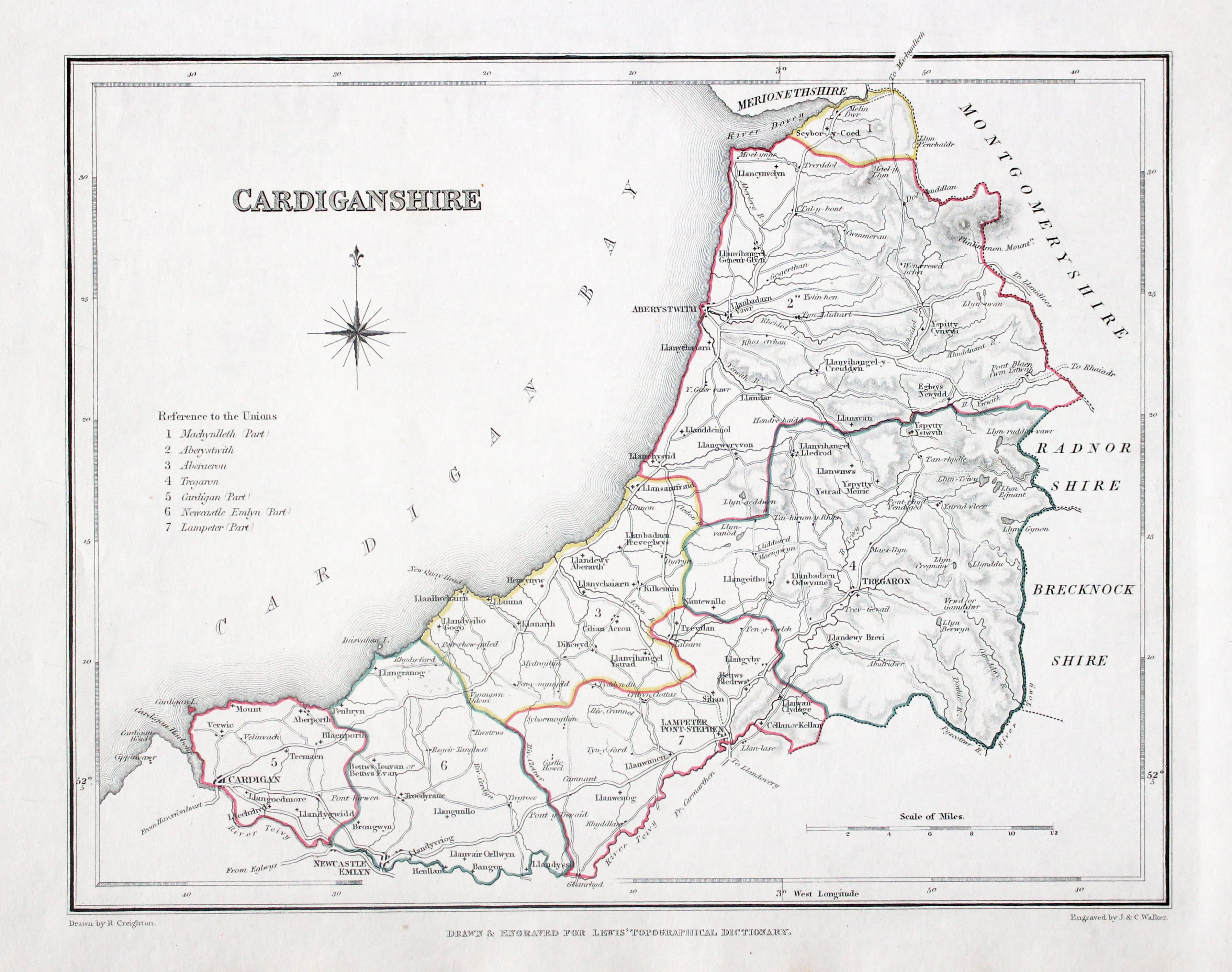
Cardiganshire, Samuel Lewis, c.1840

29687 Cardiganshire, Samuel Lewis, c.1840. Price: 9.00
CARDIGANSHIRE
A map drawn by R. Creighton and engraved by J. & C. Walker. List of Unions. 9 1/2 x 7 1/2 inches. Uncoloured. Very light crease down the centre. Some light water staining in the upper right hand corner and blank margin.
From: Lewis' Topographical Dictionary
19th Century - Early Hand Colouring
-

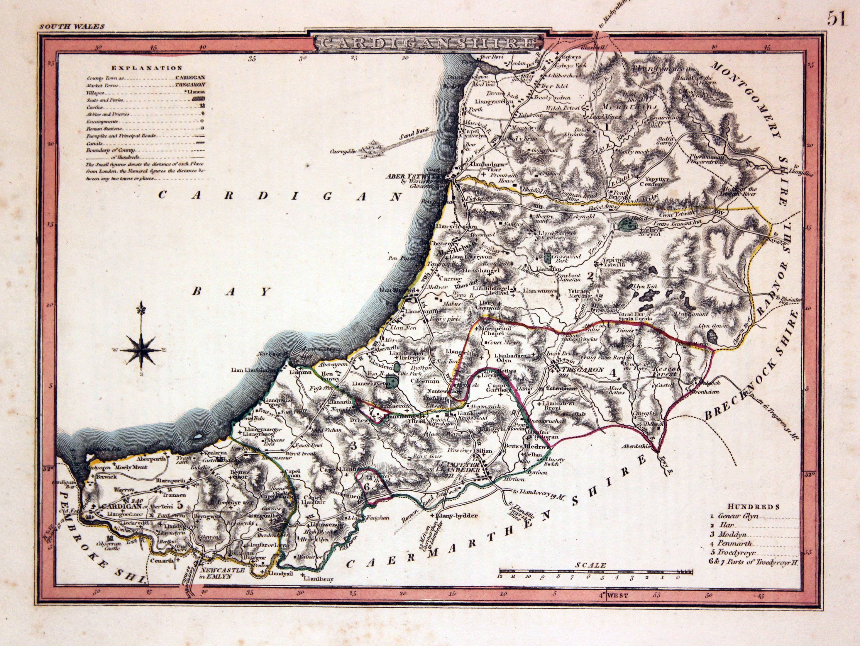
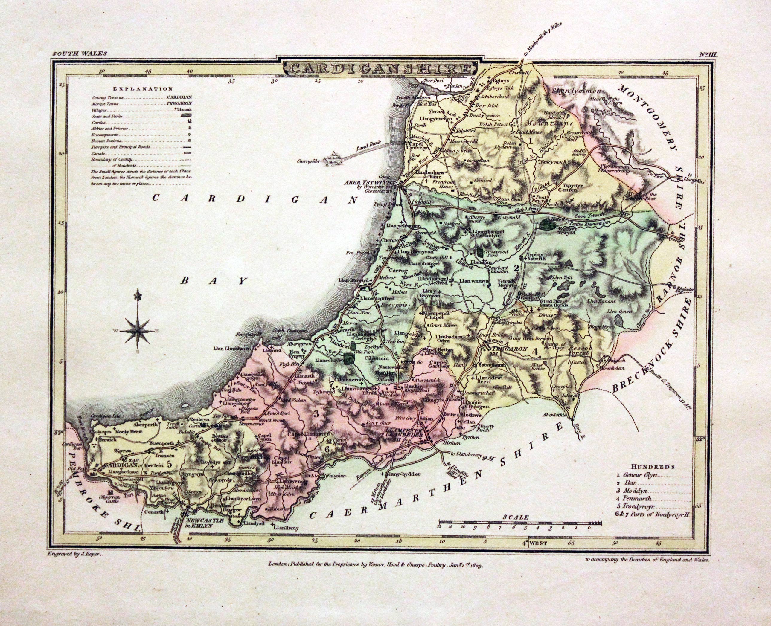
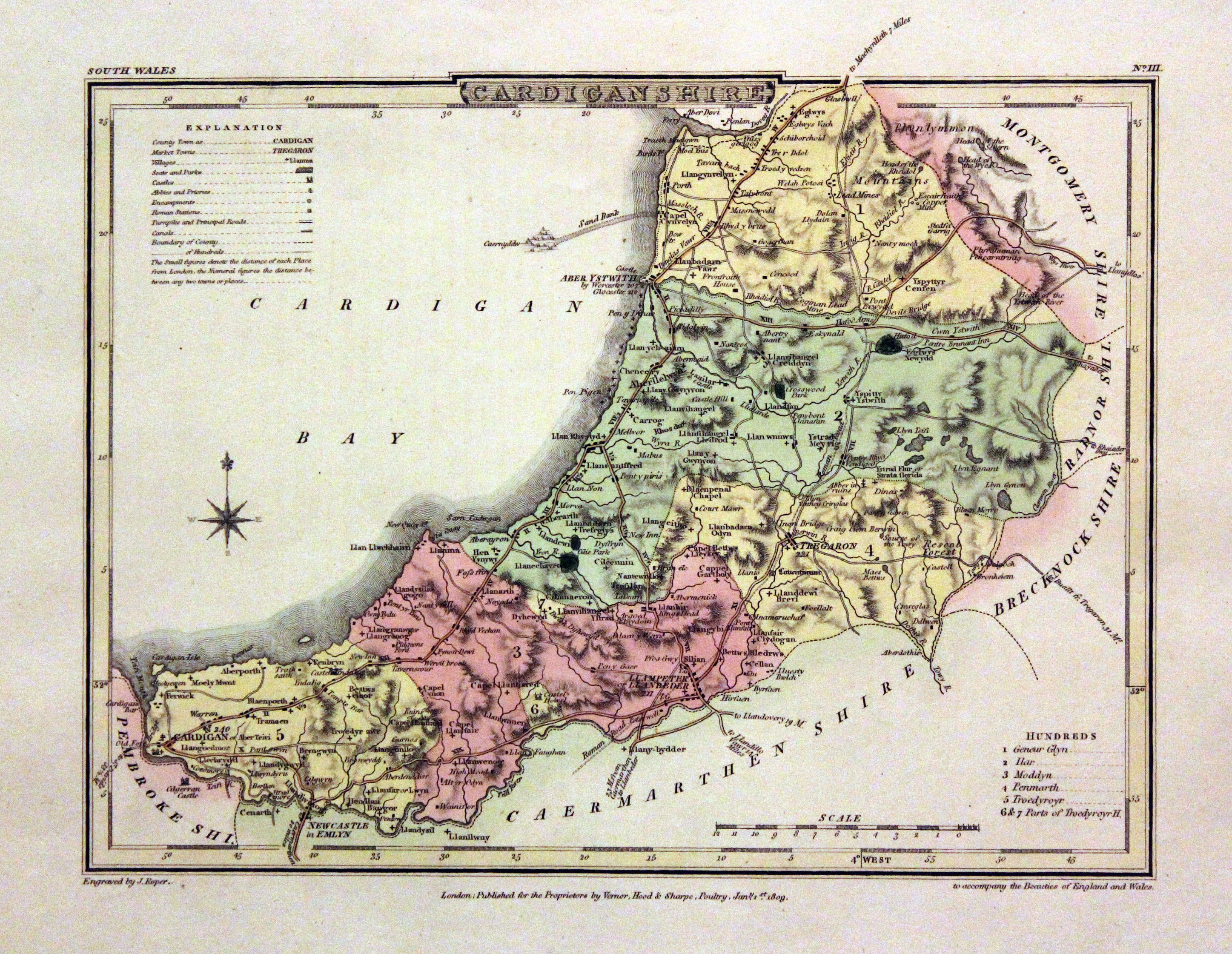
Cardiganshire, George Cole and John Roper, 1810

30334 Cardiganshire, George Cole and John Roper, 1810. Price: 32.00
CARDIGANSHIRE
A detailed engraved map of the county with explanation and list of hundreds. Publisher's imprint dated 1809. 8 x 6 inches, 220 x 173 mm. Fine early wash hand colouring. Good stout paper with wide blank margins. Good clean condition.
From: The British Atlas
19th Century
-

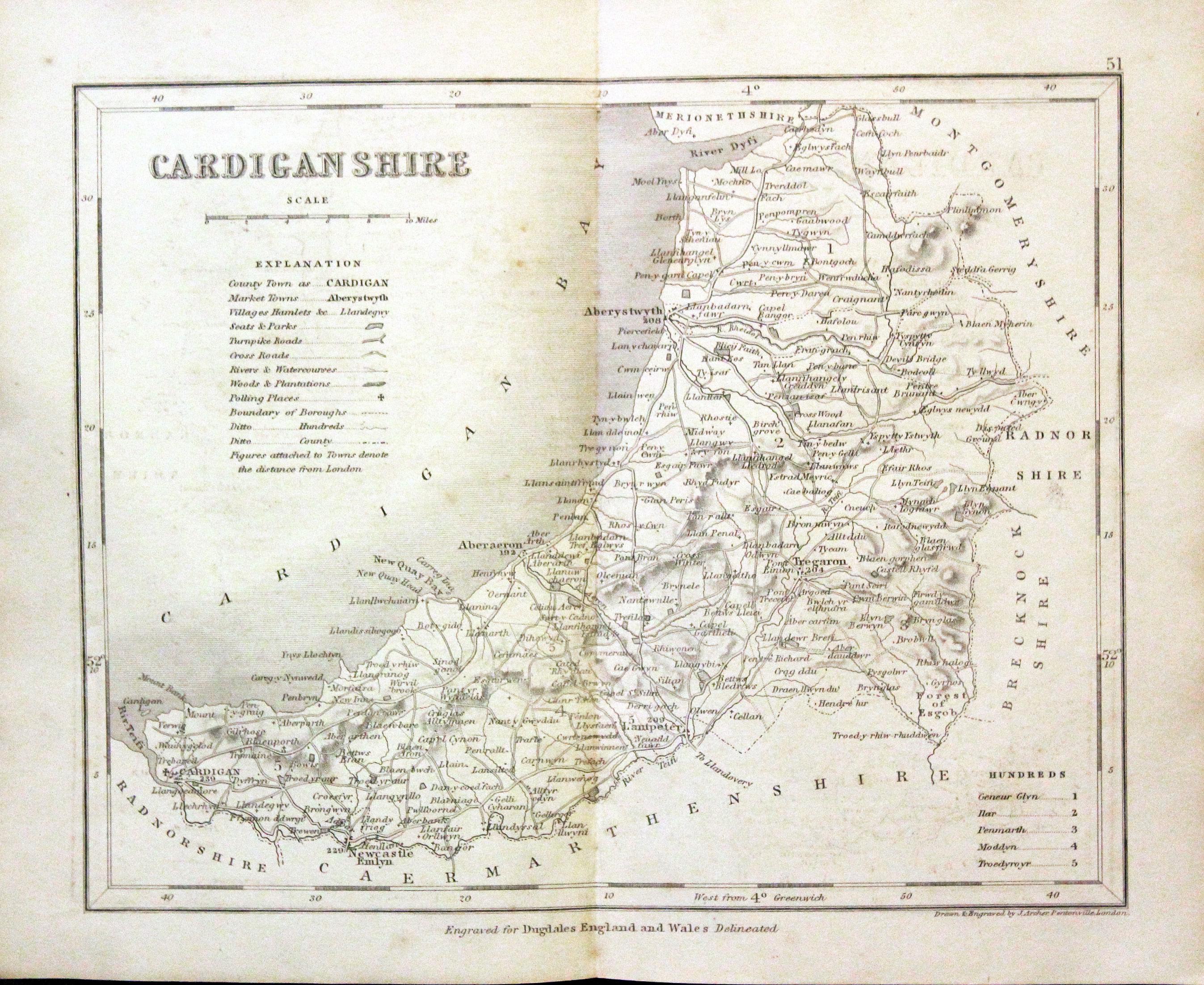
Cardiganshire, Joshua Archer, c.1845

30367 Cardiganshire, Joshua Archer, c.1845. Price: 14.00
CARDIGANSHIRE
A detailed engraved map with explanation and list of hundreds. 9 x 7 1/4 inches. Uncoloured. Lightly toned. Good condition.
From: Dugdale’s England and Wales Delineated
19th Century - Early Hand Colouring plus Text
-

Cardiganshire, George Cole and John Roper, 1810

30560 Cardiganshire, George Cole and John Roper, 1810. Price: 34.00
CARDIGANSHIRE
A detailed engraved map of the county with explanation and list of hundreds. Publisher's imprint dated 1809. 9 1/4 x 7 inches, 235 x 177 mm. Fine early wash hand colouring. Good wide blank margins. Good clean condition. With this map is the original page of descriptive text.,
From: The British Atlas
19th Century - Early Hand Colouring
-

Cardiganshire, Samuel Lewis 1845
-

Lewis' Atlas to the Topographical Dictionaries of England and Wales

31577 Cardiganshire, Samuel Lewis, 1845. Price: 19.50
CARDIGANSHIRE
A county map drawn by R. Creighton and engraved by J. & C. Walker. 9 x 6 3/4 inches. Original outline hand colouring. Good clean condition. Straight from the atlas and not sold as a single map before now.
From: Lewis' Atlas to the Topographical Dictionaries of England and Wales
Early 17th Century - Unusual
-
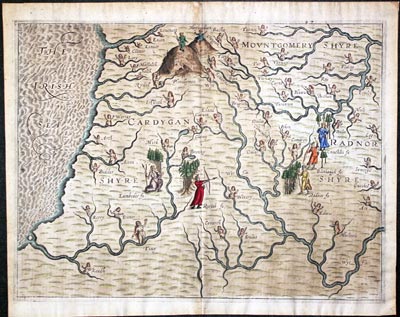
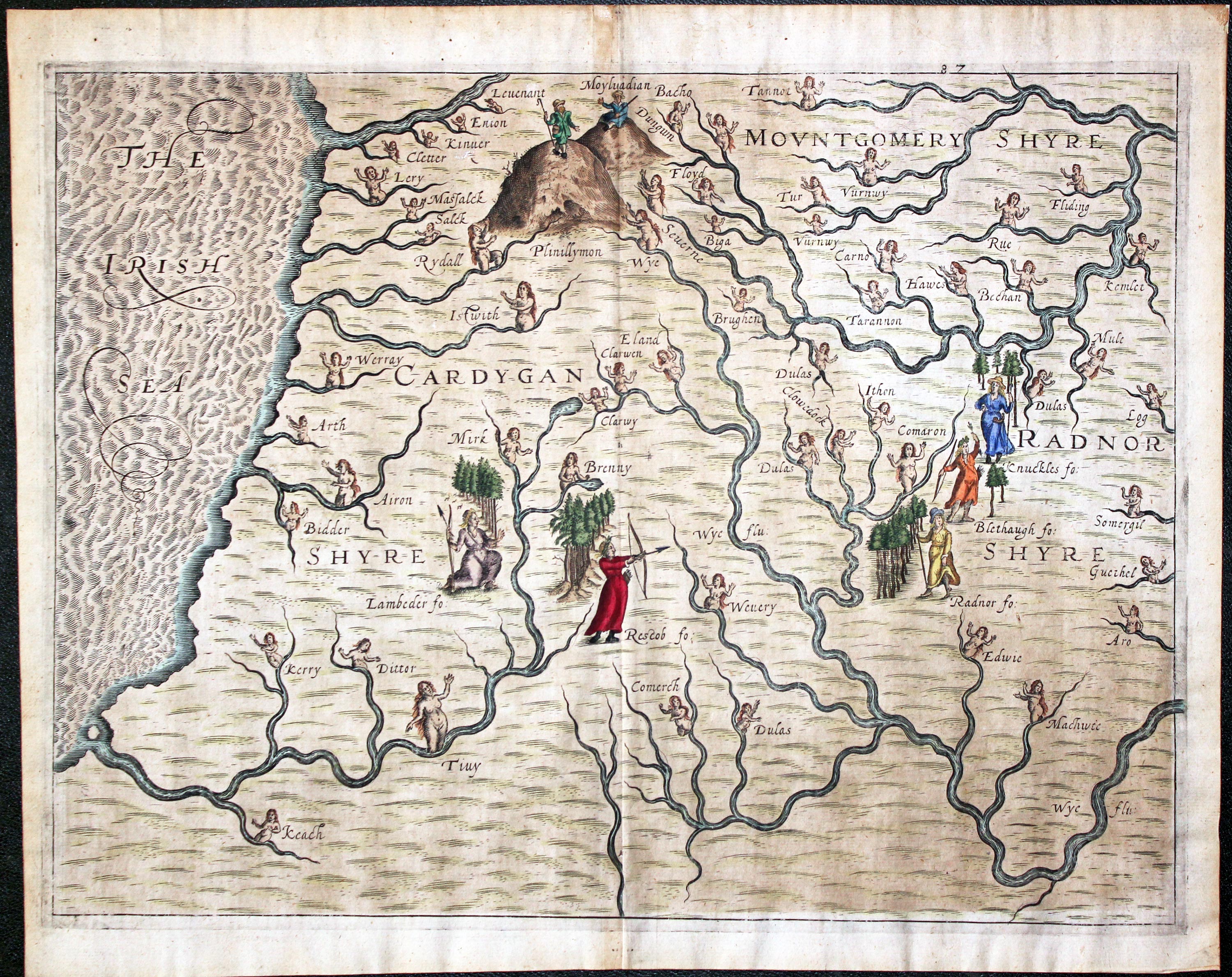
Montgomeryshire, Cardiganshire and Radnorshire Michael Drayton 1622

31985 Montgomeryshire, Cardiganshire and Radnorshire, Michael Drayton/William Hole, 1622. Price: 140.00
Montgomeryshire, Cardiganshire and Radnorshire
A most unusual early untitled engraved map showing part of the three counties to illustrate Michael Drayton's poems in the Poly-Olbion. The map shows no boundaries but is embellished with many small figures, tree and mountains in relief. Centre fold as published. 13 x 10 inches, 330 x 250 mm. Attractive hand colouring. Fine clean condition with good sized blank margins.
From: Poly-Olbion
17th Century - Fine Hand Colouring
-

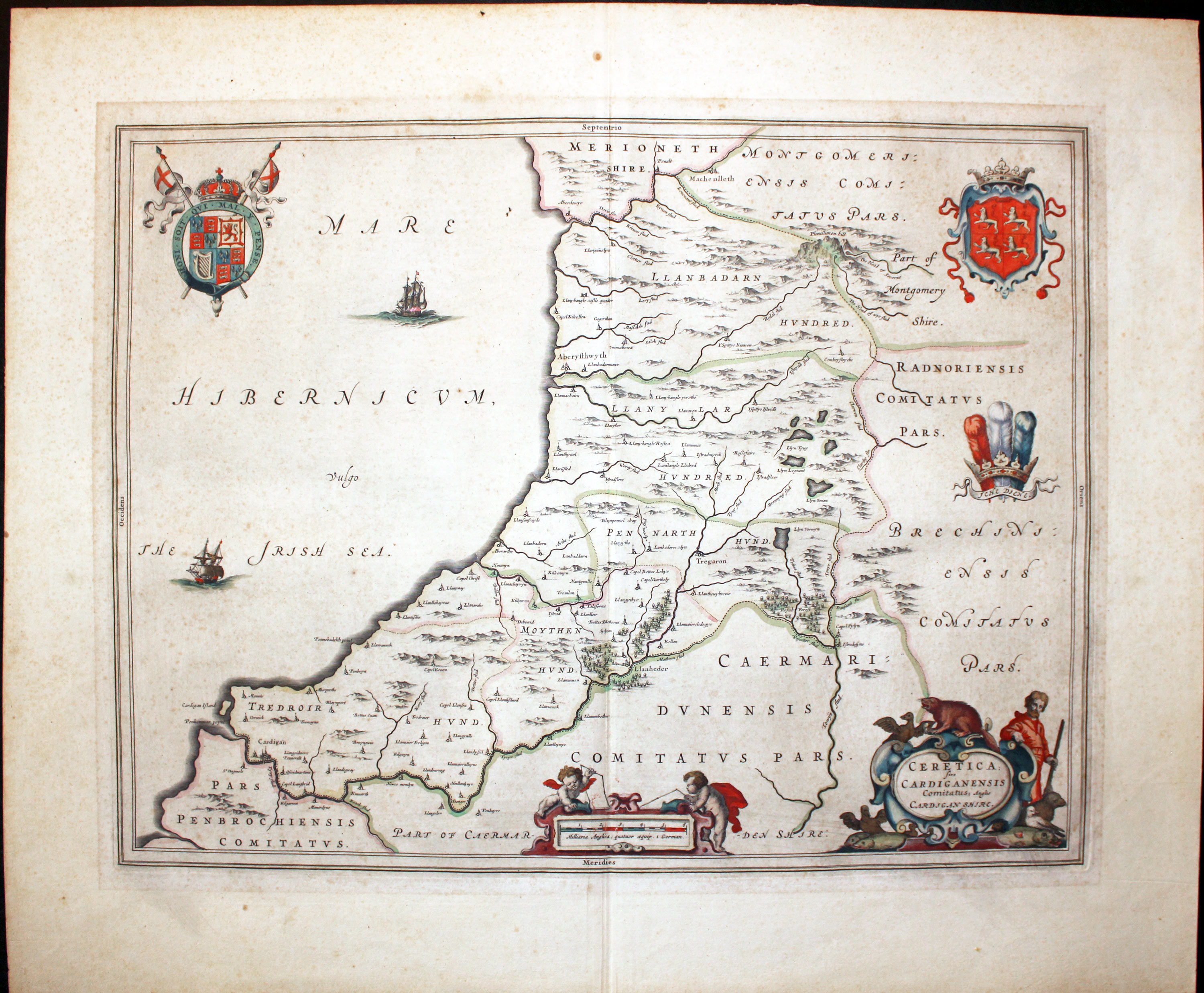
Cardiganshire Joan Blaeu 1645

32159 Cardiganshire, Joan Blaeu, 1645. Price: 155.00
CERETICA SIVE CARDIGANENSIS COMITATUS; ANGLIS CARDIGANSHIRE
The FIRST EDTION of this fine 17th century map of the county. Decorative title and scale cartouche with figures and putti. Two ships. Royal Arms, Arms of Wales and the Prince of Wales Feathers. French text on verso. Centre fold as issued. Fine early hand colouring. Some very light foxing mainly in the blank margins otherwise good condition.
From: Le Theatre du Monde ou Nouvel Atlas
Late 19th Century - Shows Railways
-

Road Map Londin to Beaconsbield in Buckingahmshire by John Owen & Emanuel Bowen 1753

32515 Cardiganshire, Carmarthenshire and Pembrokeshire, John Bartholomew, c.1898. Price: 18.50
SECTION XV. CARDIGAN
A colour printed map showing parts of Cardiganshire, Pembrokeshire and Carmarthenshire. Scale of 4 miles to the inch. Shows the railways. 16 1/2 x 12 1/2 inches. Good clean condition.
From: The Royal Atlas
19h Century - Early Hand Colouring
-

Map of Cardiganshire by Samuel Lewis 1848

32896 Cardiganshire, Samuel Lewis, 1848. Price: 20.00
CARDIGANSHIRE
A county map drawn by R. Creighton and engraved by J. & C. Walker. 9 x 6 3/4 inches. Original outline hand colouring. Good clean condition. Straight from the atlas and not sold as a single map before now.
From: Lewis' Atlas to the Topographical Dictionaries of England and Wales
17th Century
-

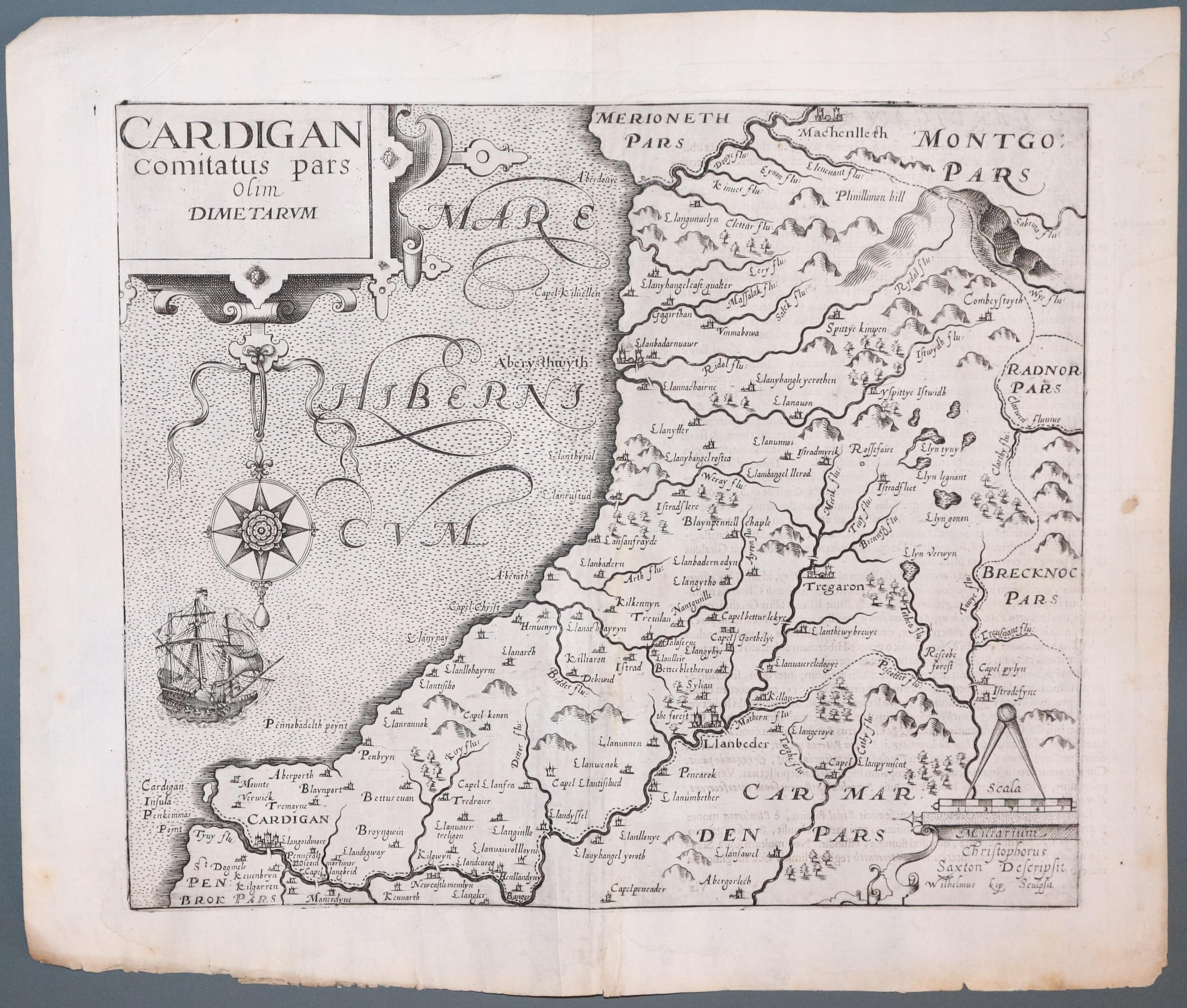
Map of Cardiganshire Saxton / Kip 1737

33089 Cardiganshire, Christopher Saxton / William Kip, 1610. Price: 85.00
CARDIGAN COMITATUS PARS OLIM DIMETARUM
An early map of the county engraved by William Kip after the survey by Christopher Saxton. Decorative title cartouche from which is suspended the compass rose. Scale with pair of dividers. Ship. Two cracks to the printing plate evident in the lower part of the map. This is state II having no plate number in the bottom left hand corner. 12 x 10 1/4 inches. Uncoloured. A few light foxing spots in the blank margins otherwise good condition.
From Camden's Britannia
Early 17th Century - First Edition
-

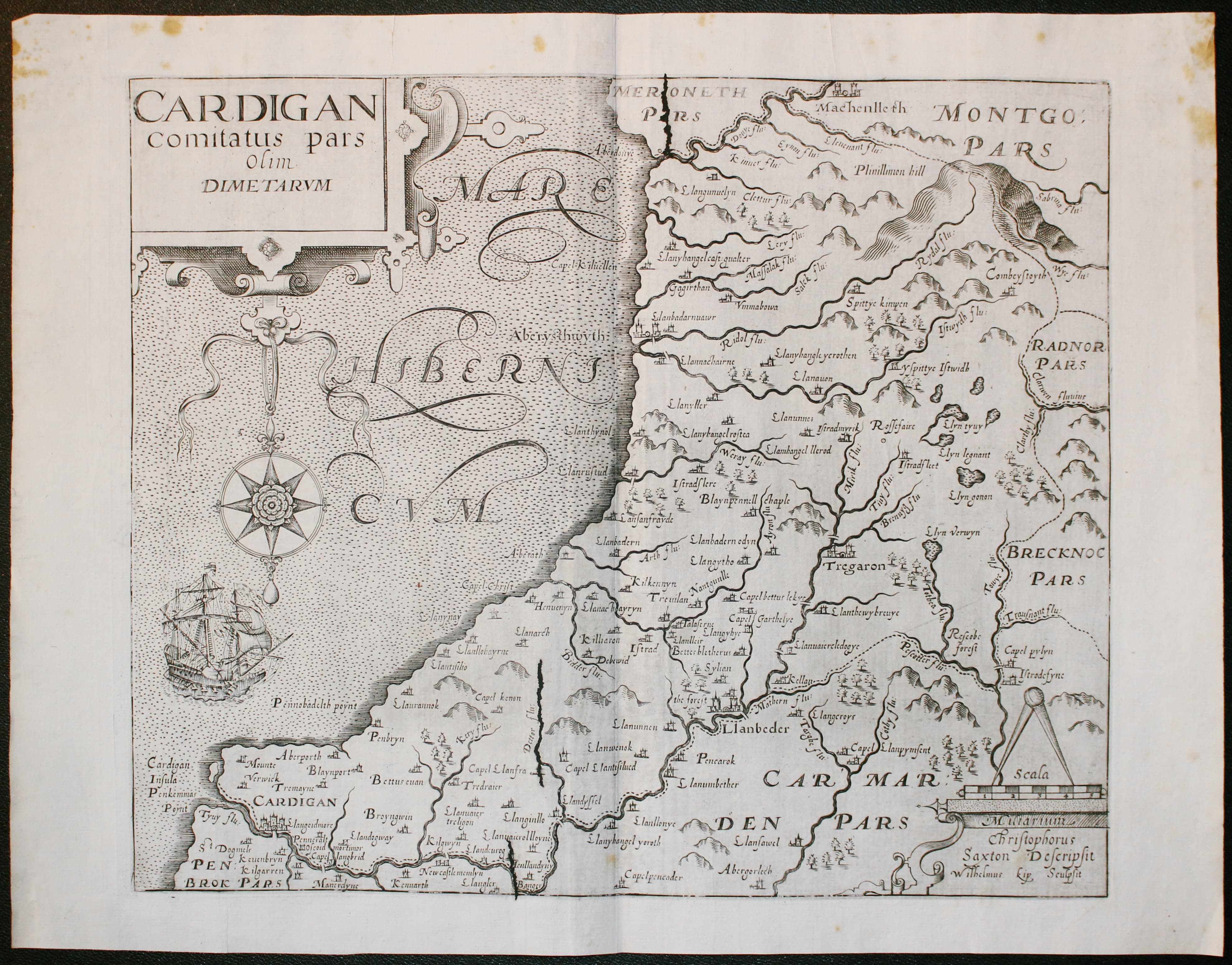
Map of Cardiganshire Saxton / Kip 1607

33105 Cardiganshire, Christopher Saxton / William Kip, 1607. Price: 95.00
CARDIGAN COMITATUS PARS OLIM DIMETARUM
The first edition of this early map of the county engraved by William Kip after the survey by Christopher Saxton. Decorative title cartouche from which is suspended the compass rose. Scale with pair of dividers. Ship. This is state 1 having Latin text on one half of verso. 12 x 10 1/4 inches. Uncoloured. A few light foxing spots in the blank margins otherwise good condition.
From Camden's Britannia.
I am rarely able to offer the first edition of this map which is the first printed map to show the the county of Cardiganshire on its own.
18th Century
-

Map of Cardiganshire, Thomas Osbrone 1746

33165 Cardiganshire, Thomas Osborne, 1748. Price: 35.00
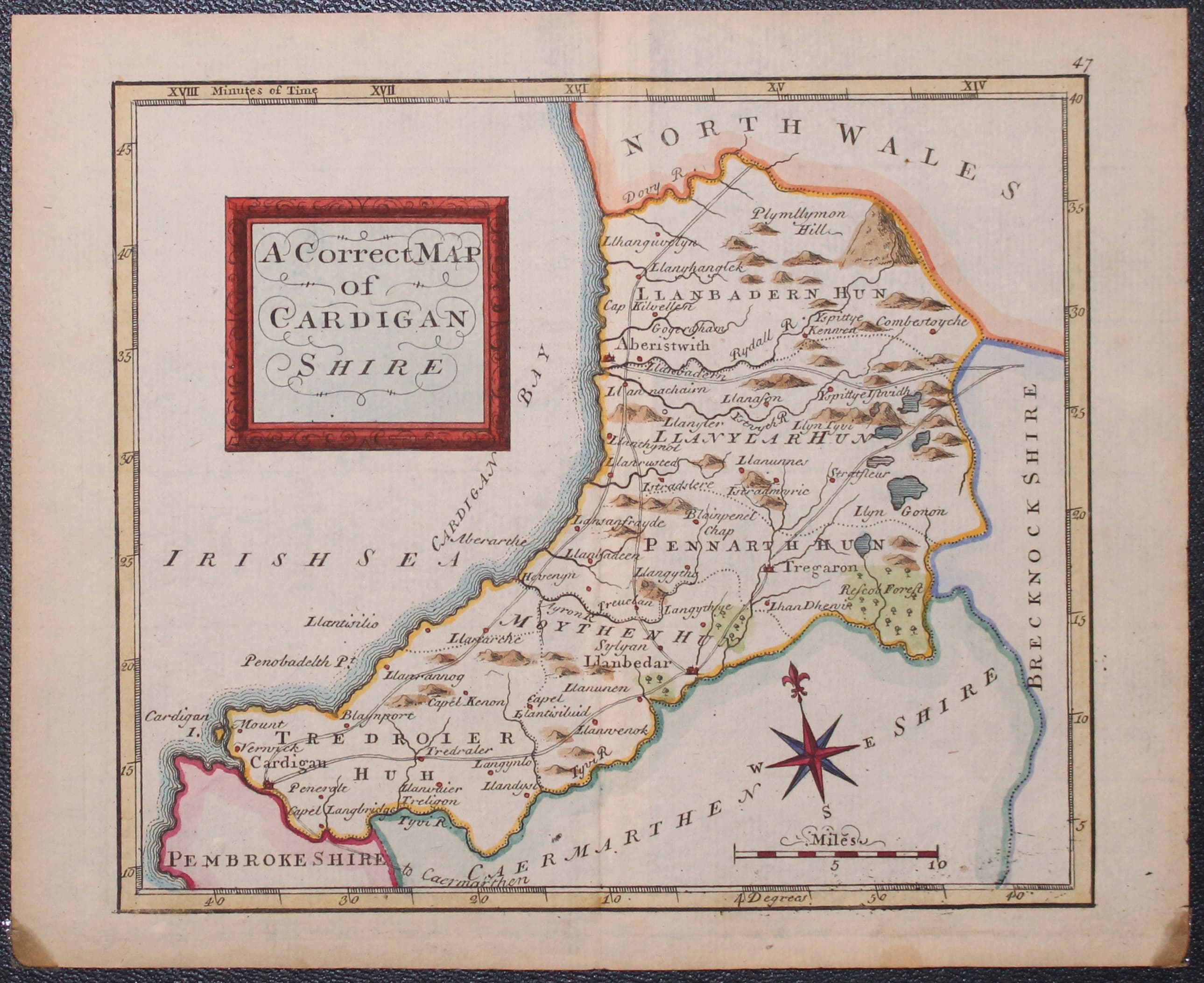
A CORRECT MAP OF CARDIGANSHIRE
An engraved county map with shaped title panel. Compass rose. 6 1/2 x 5 1/2 inches. Original centre fold. Attractive carefully executed hand colouring. Good condition.
From Geographia Magnae Britanniae.
18th Century
-

Map of Cardiganshire, John Seller 1787

33169 Cardiganshire, John Seller, c.1787. Price: 35.00
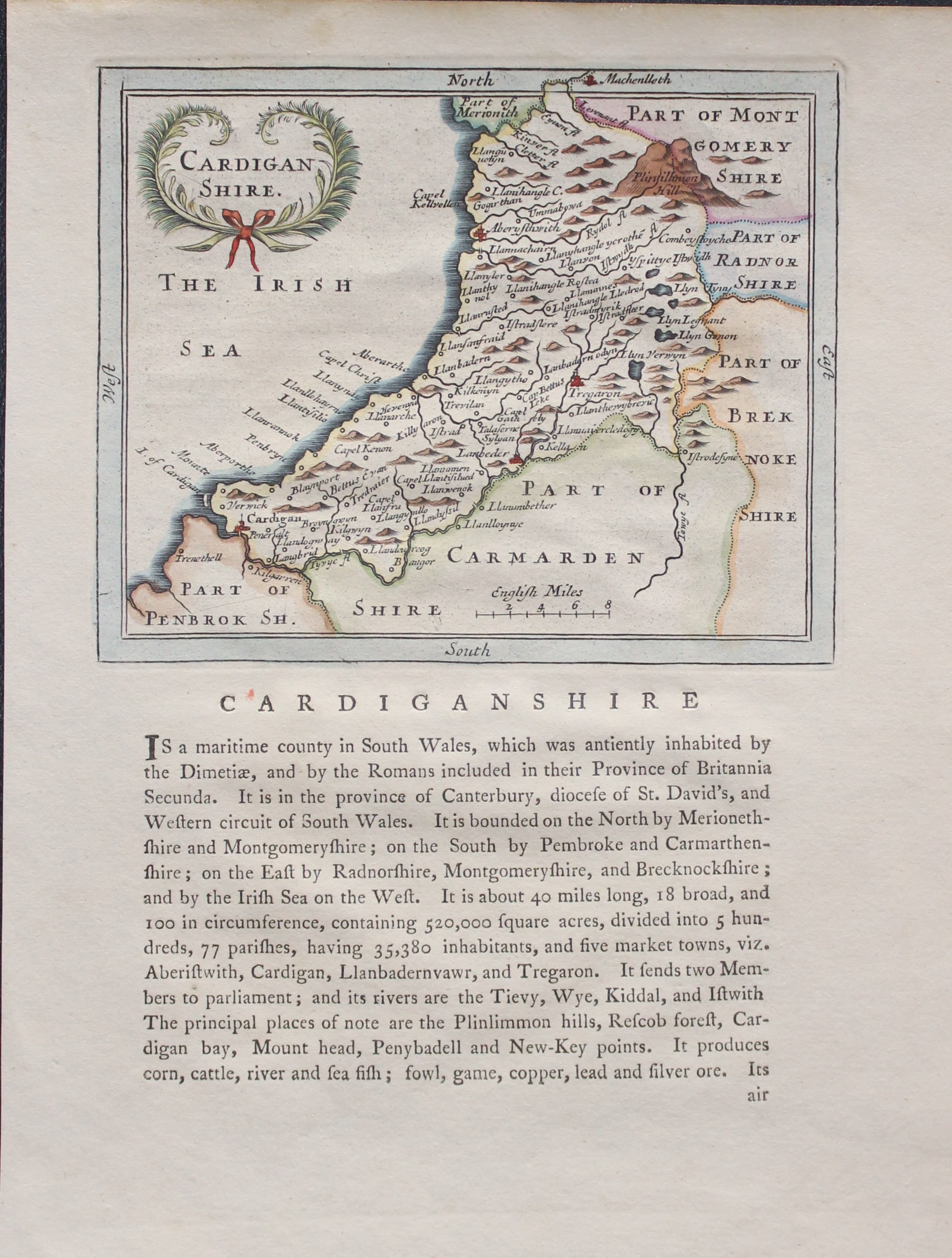
CARDIGAN SHIRE
A small engraved map of the county embellished with a decorative title cartouche. 5 3/4 x 4 3/4 inches. Beneath the map and on verso is a description of the county in English. Nice tatseful later hand colourng. Good condition.
From: Grose’s Antiquities
18th Century
-

Cardiganshire, John Owen & Emanuel Bowen c.1730
33308 Cardiganshire, John Owen and Emanuel Bowen, c.1730. Price: 18.00
A MAP OF CARDIGANSHIRE
An engraved county map surmounted by a decorative baroque title cartouche. The map is further embellished with coats of arms and a description of the county beneath. Road map on verso from London to Beaconsfield with five coats of arms and engraved notes. 4 x 7 inches. Uncoloured. Slight damage to the printed left hand border near the bottom. Tip of top right hand blank margin missing. Good margins. SPECIAL PRICE.
From: Britannia Depicta

