Antique Maps of Carmarthenshire
Richard Nicholson of Chester
A World of Antique Maps and Prints
Established in 1961
All the Maps on this page are guaranteed to be genuine early specimens
published in or around the year stated
18th Century - County and Roads
-

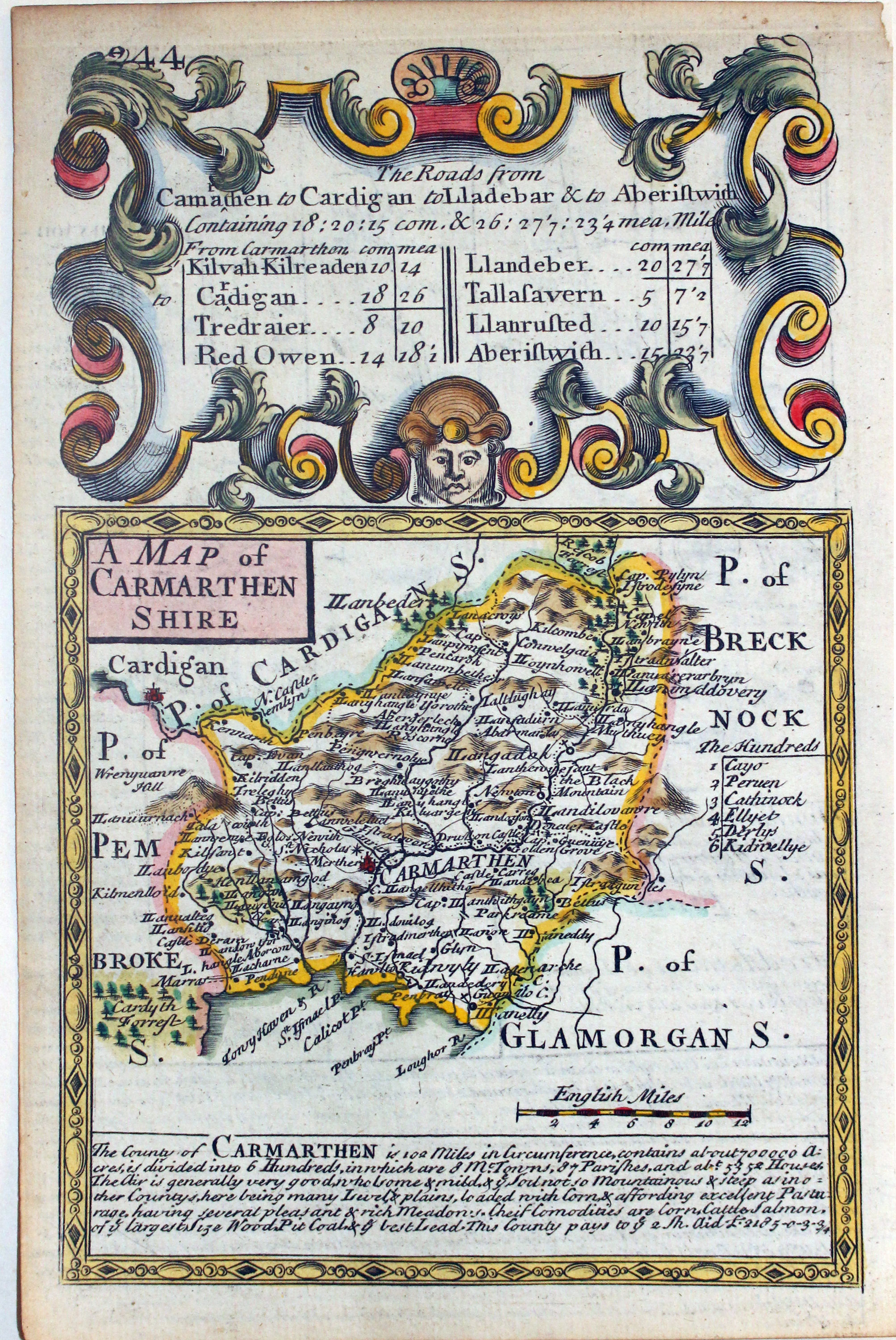
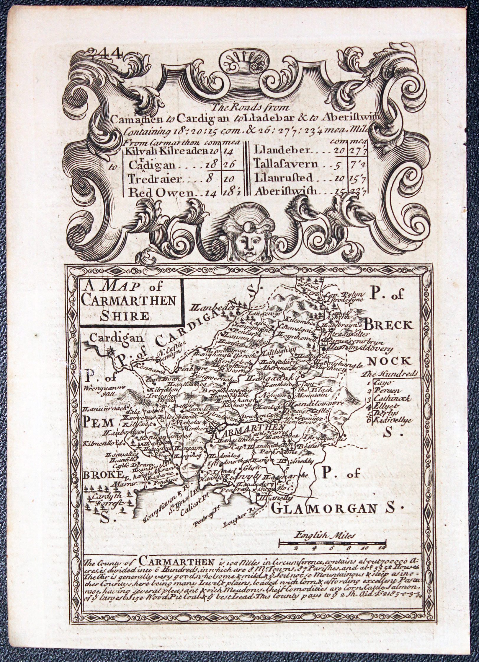
Carmarthenshire, John Owena dn Emanuel Bowen c.1731
-

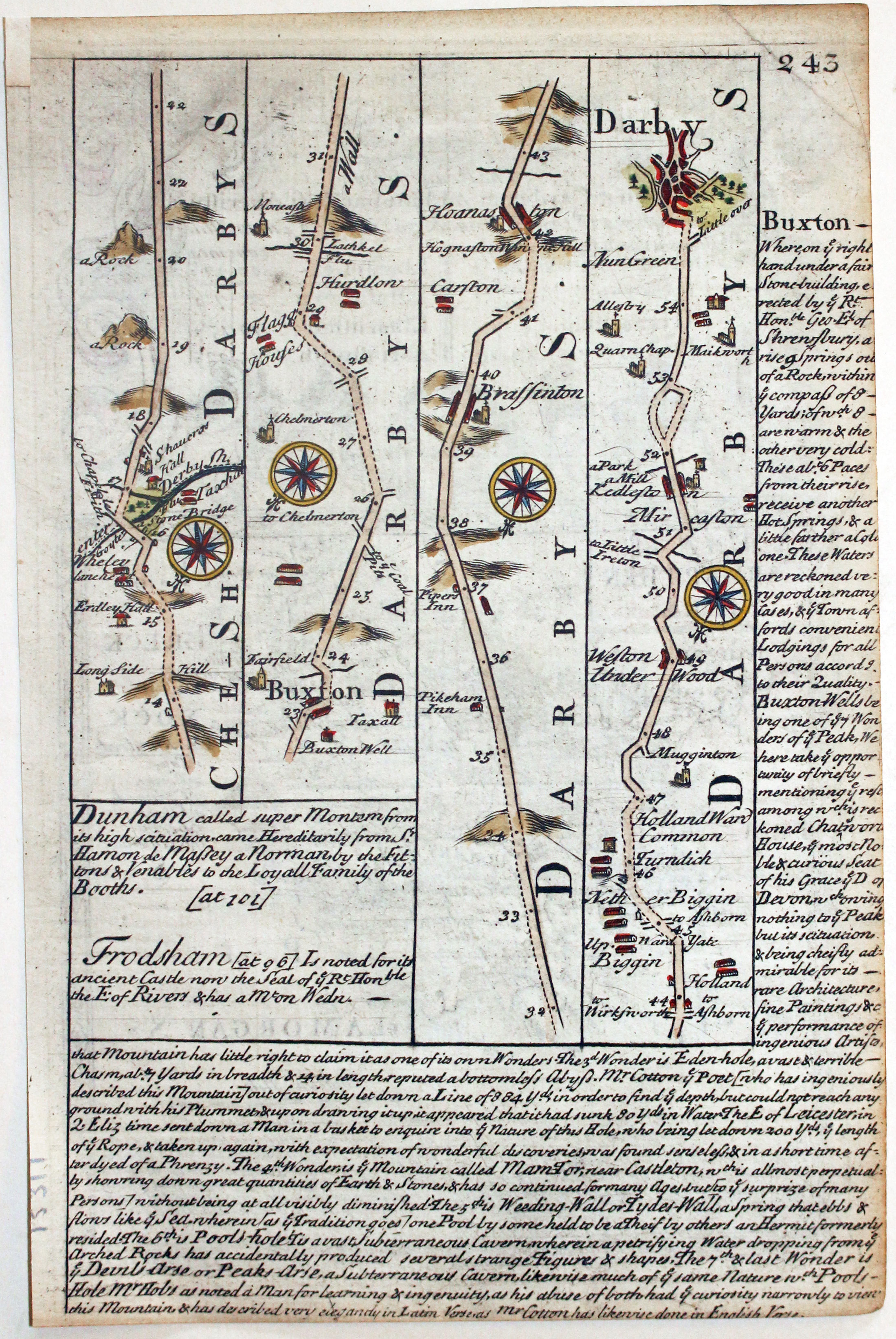
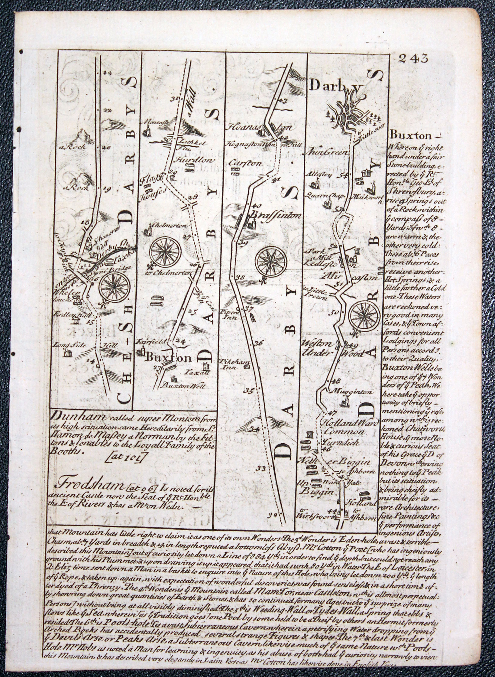
Road map from Buxton to Derby by John Owen and Emanuel Bowen c.1731
15311 Carmarthenshire, John Owen and Emanuel Bowen, c.1731. Price: 34.00
A MAP OF CARMARTHEN SHIRE
An engraved county map with description, surmounted by a decorative baroque cartouche. Road map on verso from Buxton to Derby. 4 x 7 inches, 114 x 180 mm. Hand coloured on both sides. Some trimming to the text on verso. Very small repair to tip of top right hand blank margin corner, otherwise good condition.
From: Britannia Depicta

19th Century - Early Hand Colouring
-
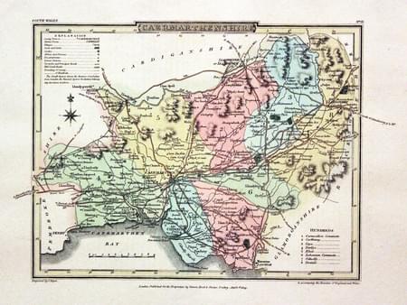
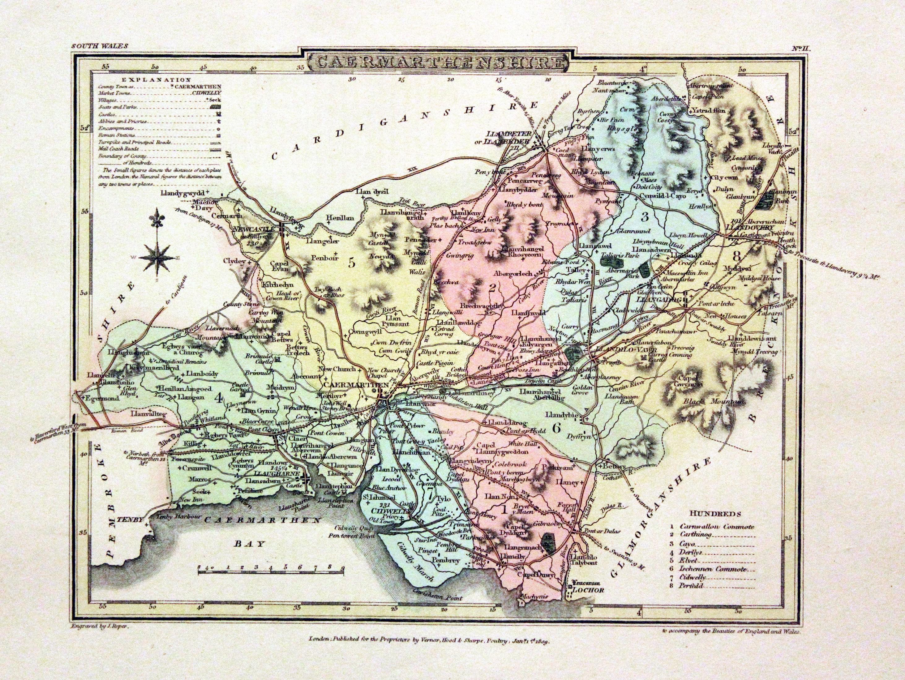
Carmarthenshire, George Cole and John Roper, 1810

30551 Carmarthenshire, George Cole & John Roper, 1810. Price: 36.00
CAERMARTHENSHIRE A detailed engraved map of the county with explanation and list of hundreds. Publisher's imprint dated 1809. 8 x 6 inches, 220 x 173 mm. Fine early wash hand colouring. Good clean condition with wide blank margins. With this map is the original page of descriptive text. Good clean condition. From The British Atlas.
18th Century - Early Hand Colouring
-
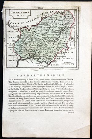
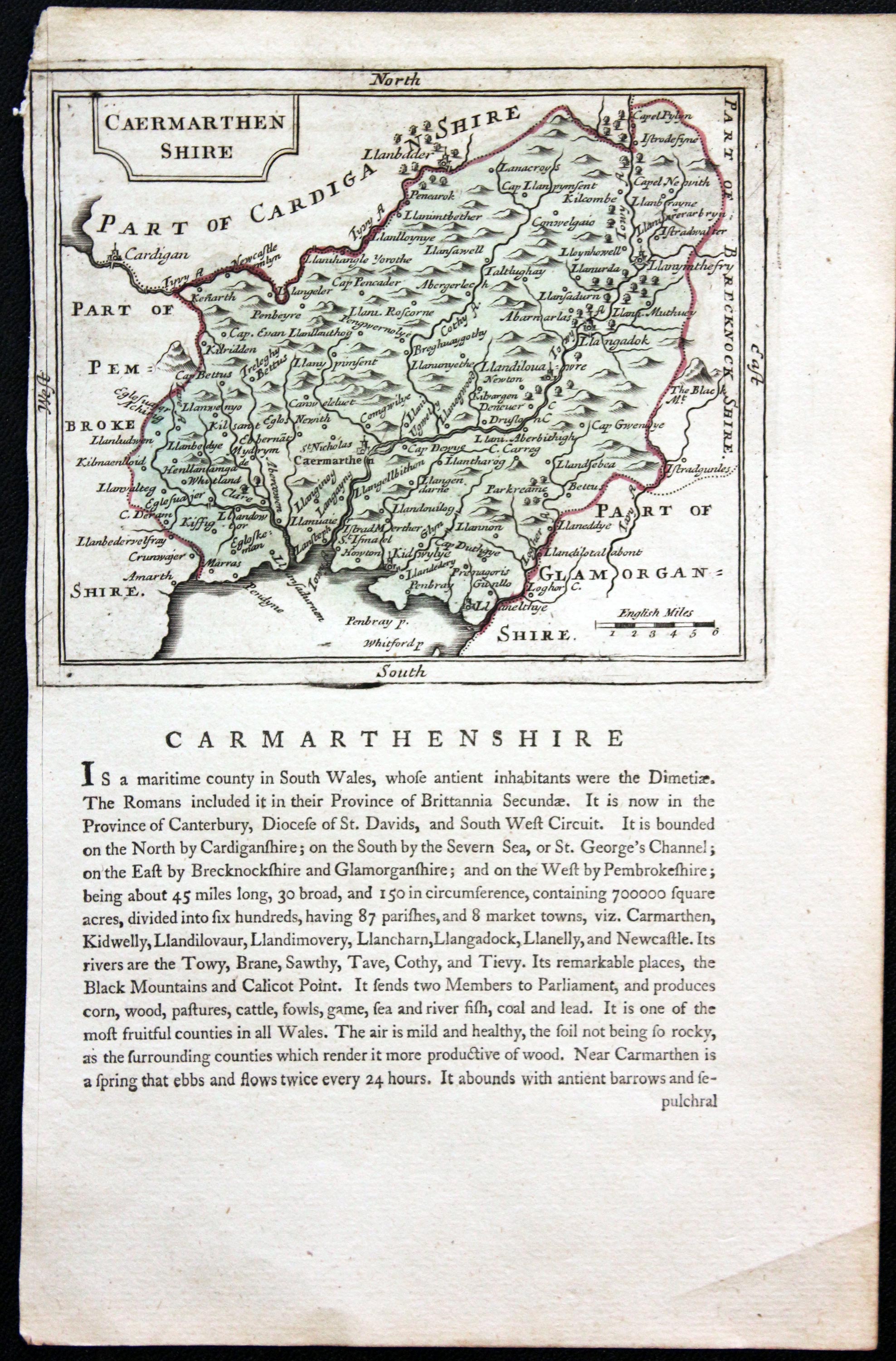
Carmarthenshire, John Seller, c.1787
31226 Carmarthenshire, John Seller, c.1787. Price: 5.00
CARMARTHENSHIRE
An engraved county map with title panel. Descriptive text beneath and on verso. 5 x 4 inches, Early hand colouring. No bank border on left hand side. Strip of sellotape on verso covering a a cut line. Special price.
From: Antiquities of England and Wales

19th Century
-

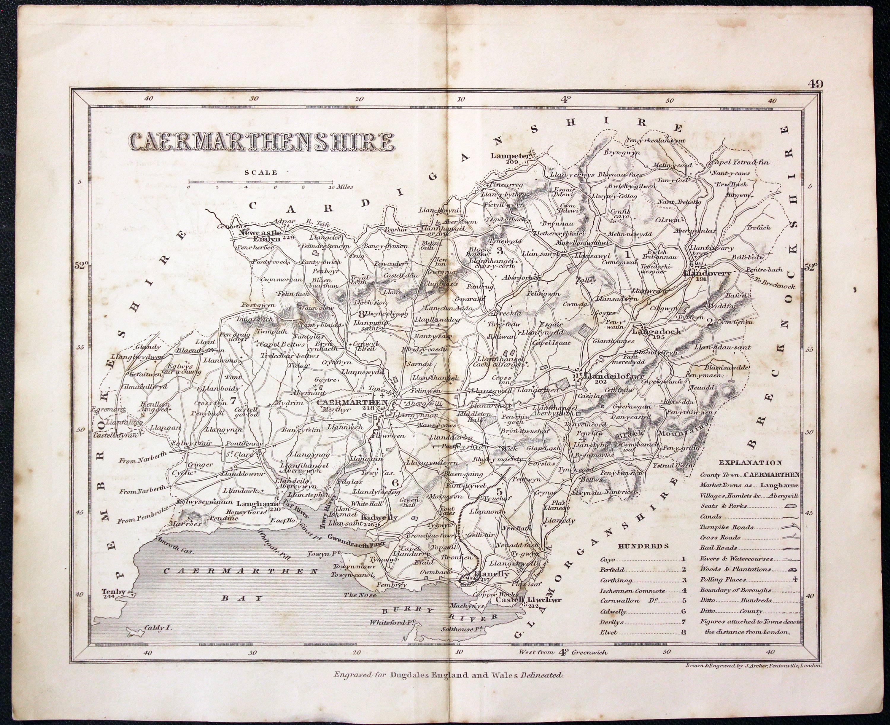
Carmarthenshire, Joshua Archer, c.1840

31565 Carmarthenshire, Joshua Archer, c.1840. Price: 12.00
CAERMARTHENSHIRE
A detailed engraved map of the county including the railways. 9 1/4 x 7 inches. Uncoloured. Some light foxing but otherwise good condition.
From: Dugdale's England and Wales Delineated
18th Century - County and Road Map
-

Carmarthenshire, John Owen and Emanuel Bowen, 1736
-

Road map from Buxton to Derby, John Owen and Emanuel Bowen, 1736

32486 Carmarthenshire, John Owen and Emanuel Bowen, 1753. Price: 33.00
A MAP OF CARMARTHEN SHIRE
An engraved county map with description, surmounted by a decorative cartouche . Road map on verso from Buxton to Derby. 4 x 7 inches, 114 x 180 mm. Uncoloured. Very slight trimming to the description on verso at the bottom otherwise good condition. This map has come straight from the atlas and therefore not sold as a single map before.
From: Britannia Depicta


PROVENANCE
At some time part of the Townsend Family library
England's Most Famous Mapmaker
-
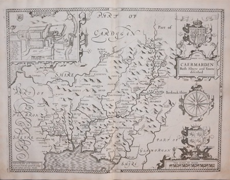
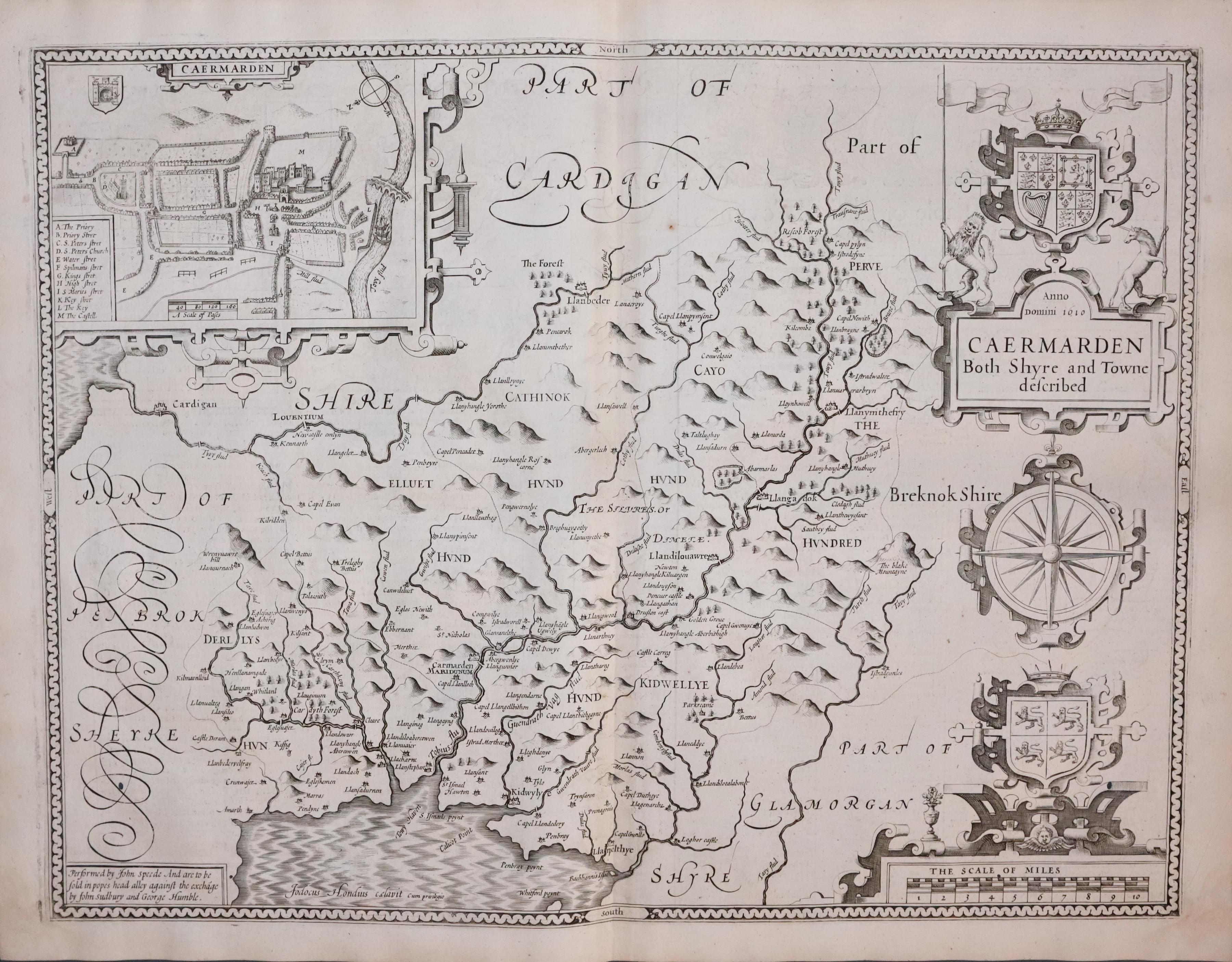
Carmarthenshire by John Speed 1646
-

Carmarthenshire by John Speed 1646

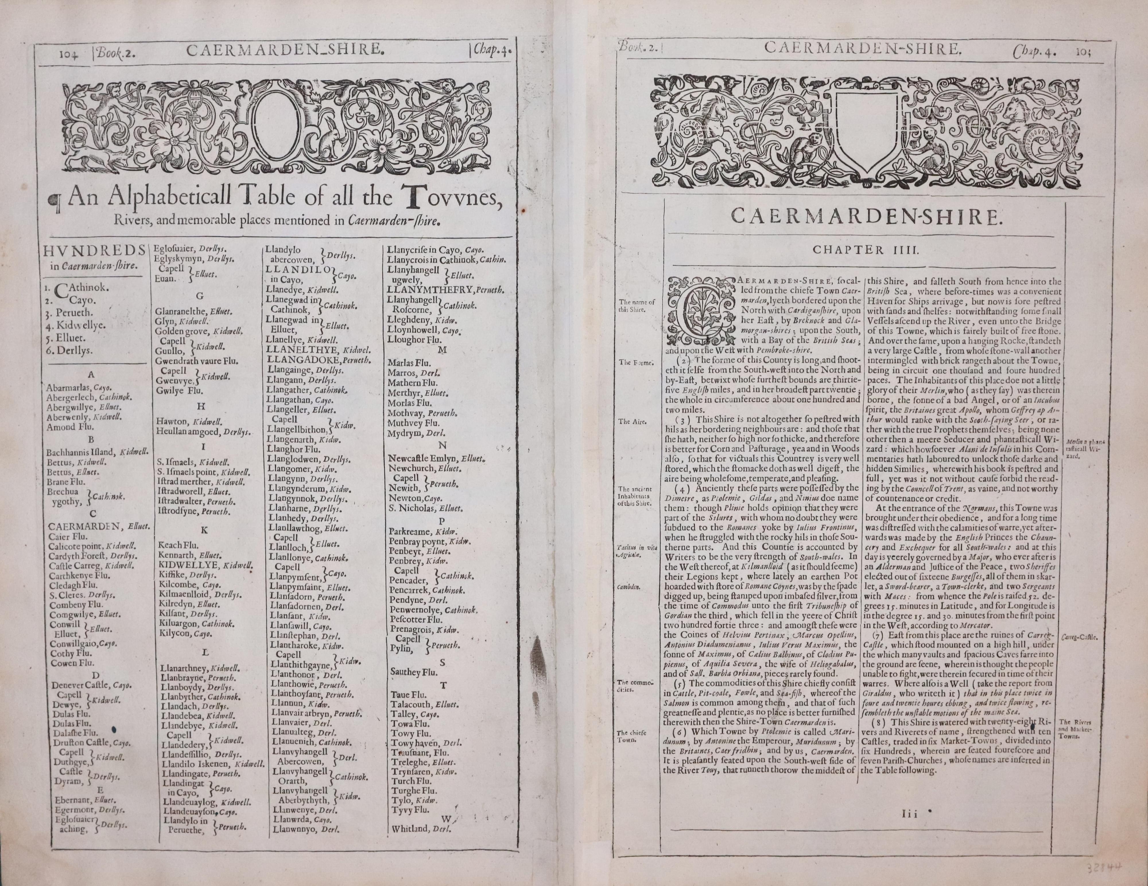
32844 Carmarthenshire, John Speed, 1646. Price: 225.00
CAERMARDEN BOTH SHYRE AND TOWNE DESCRIBED
A decorative 17th century map of the county published by John Sudbury and George Humble. The 1646 edition printed by John Legatt for George Humble, Sudbury having retired by this time. Embellished with a title cartouche surmounted by the Royal Arms, compass rose. Arms of Wales and the scale within another cartouche. Inset town plan of Carmarthen. On verso is a description of the county in English with a list of towns and villages. 19 x 15 inches. Uncoloured. The third even small ij the scale area. Three single small worm holes. One in the lower left hand corner in a blank area, the matching one on part of the scale cartouche. Original centre fold. A nice clean fresh specimen having just been taken from the atlas and there not previously been sold as a single map. From Speed's Theatre of the Empire of Great Britain.
From: Theatre of the Empire of Great Britaine

19h Century - Early Hand Colouring
-

Map of Carmarthenshire by Samuel Lewis 1848

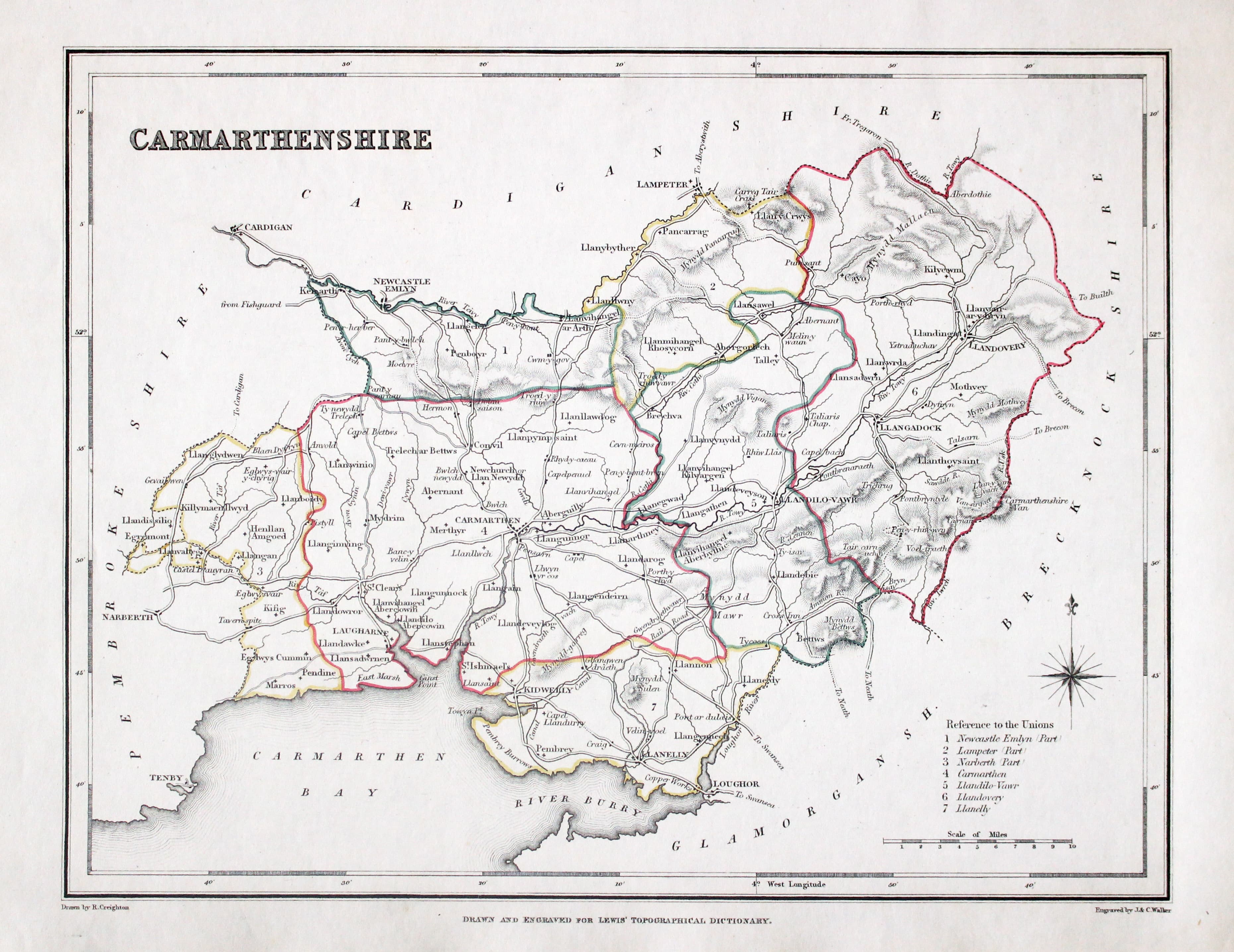
32897 Carmarthenshire, Samuel Lewis, 1848. Price: 24.00
CAERMARTHENSHIRE
A county map drawn by R. Creighton and engraved by J. & C. Walker. 9 x 6 3/4 inches. Original outline hand colouring. Good clean condition. Straight from the atlas and not sold as a single map before now.
From: Lewis' Atlas to the Topographical Dictionaries of England and Wales
Early 17th Century
-
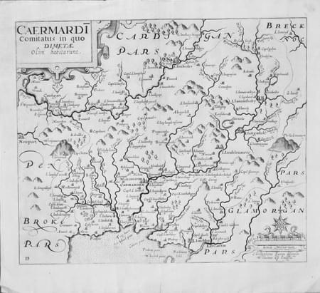
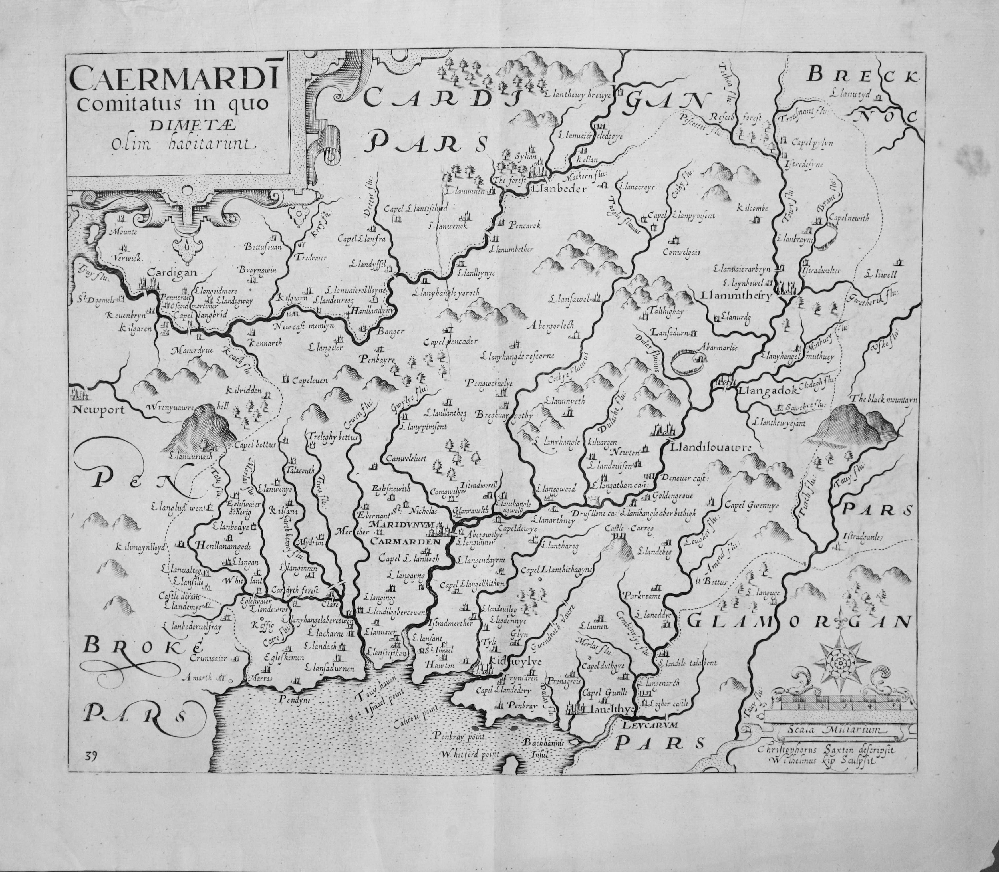
Map of Carmarthenshirre Saxon / Hole, 1637

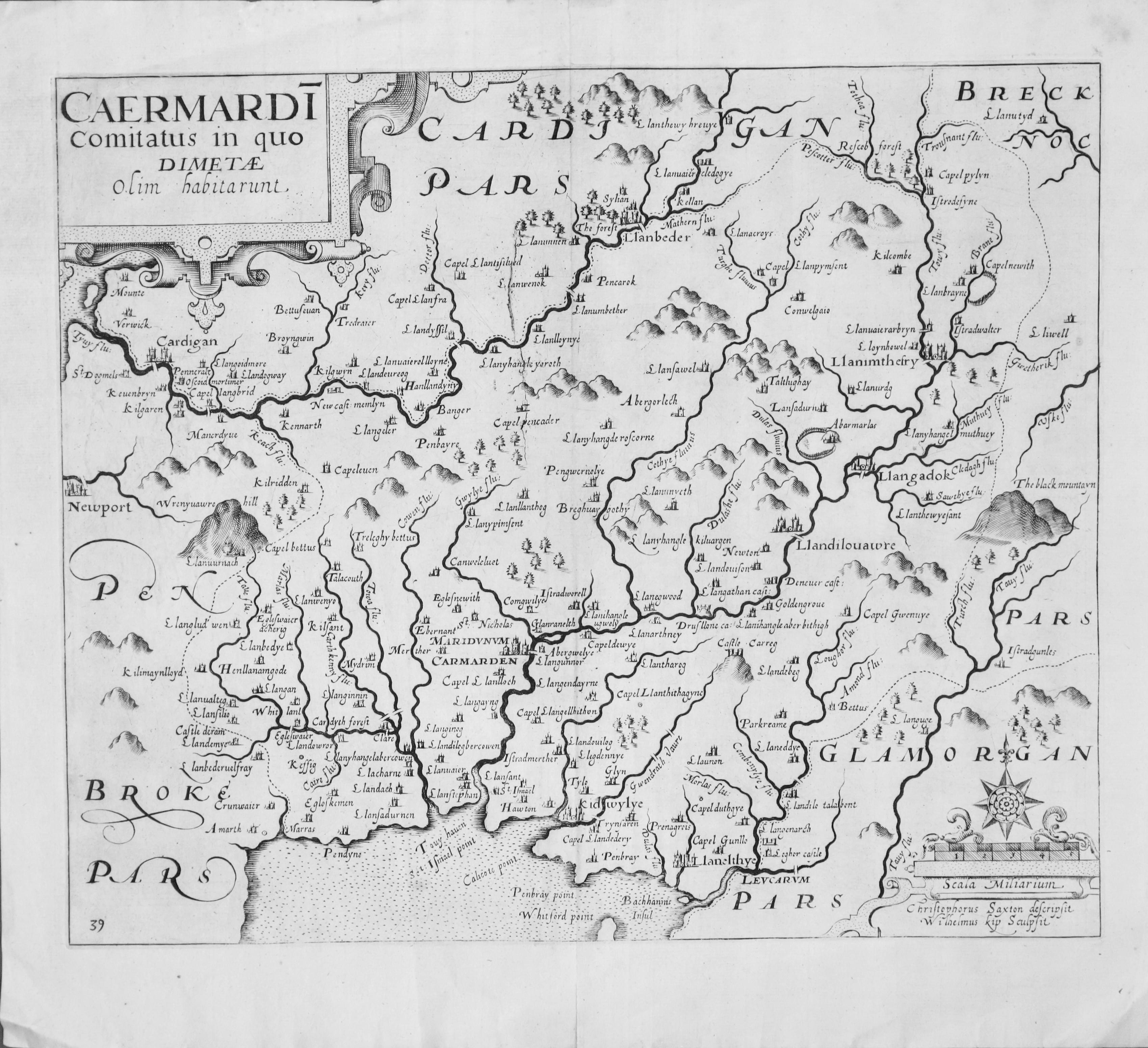
33063 Carmarthenshire, Christopher Saxton / William Kip, 1637. Price: 110.00
CAERMARDI COMITATUS COMITATUS IN QUO DIMETAE OLIM HABITARUNT
An early map of the county engraved by William Kip after the survey by Christopher Saxton embellished with decorative title and scale cartouches. 12 x 10 inches. Split at the bottom of the centre fold otherwise good condition. Uncoloured. Original centre fold. This is state III of the map having the number 39 in the bottom left hand corner.
From Camden's Britannia
This is the first printed map of the county as Christopher Saxton grouped Carmarthenshire with other counties
Early 17th Century
-

Map of Carmarthenshirre Christopher Saxton and William Kip 1637

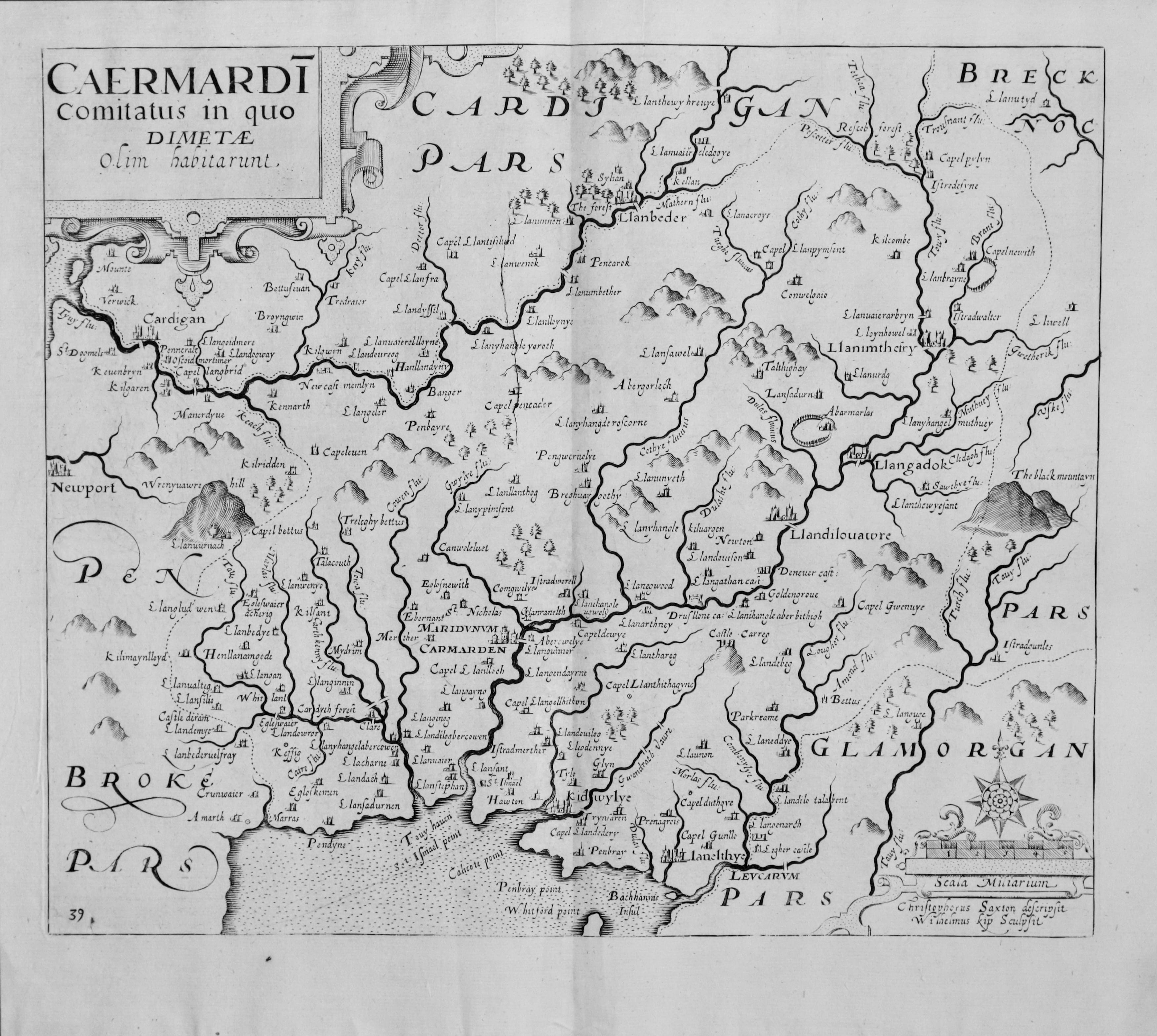
33077 Carmarthenshire, Christopher Saxton / William Kip, 1637. Price: 100.00
CAERMARDI COMITATUS COMITATUS IN QUO DIMETAE OLIM HABITARUNT
An early map of the county engraved by William Kip after the survey by Christopher Saxton embellished with decorative title and scale cartouches. 12 x 10 inches. Good clean condition. Uncoloured. Original centre fold. This is state III of the map having the number 39 in the bottom left hand corner.
From Camden's Britannia
This is the first printed map of the county as Christopher Saxton grouped Carmarthenshire with other counties
17th Century
-

Map of Carmarthenshirre Christopher Saxton and William Kip 1607

33090 Carmarthenshire, Christopher Saxton / William Kip, 1637. Price: 88.00
CAERMARDI COMITATUS COMITATUS IN QUO DIMETAE OLIM HABITARUNT
An early map of the county engraved by William Kip after the survey by Christopher Saxton embellished with decorative title and scale cartouches. 12 x 10 inches. Brown spot in the top right hand blank margin otherwise good condition. Uncoloured. Original centre fold. This is state III of the map having plate number 39 in the bottom left hand corner.
From Camden's Britannia
This is the first printed map of the county as Christopher Saxton grouped Carmarthenshire with other counties
Early 19th Century - Sea Chart
-

Chart of Laugharne and Kidwell by William Morris 1801

33159 Laugharne and Kidwelly, William Morris, 1801. Price: 80.00
CARMARTHEN, LOUGHARN, AND CYDWELY, BAY, BAR AND HARBOURS; BY WILLIAM MORRIS
An interesting engraved chart of the region showing the coastline with Laugharne and Kidwelly . Compass rose and scale. Publisher’s imprint beneath the map dated 1800. Nicely hand coloured. A very nice clean specimen of this chart in very good condition. Displayed within an ivory tint sunk mount.
From Plans of the Principal Harbours, Bays & Roads, in St. George's and the Bristol Channels

