Antiquarian Books & Atlases for Sale
RICHARD NICHOLSON of CHESTER
A World of Antique Maps and Prints
Established in 1961
All the Maps on this page are guaranteed to be genuine early specimens
pubished in or around the year stated
Other than maps and prints there are times
when I am able to offer some antiquarian atlases and books
Atlases
Early 19th Century World Atlas
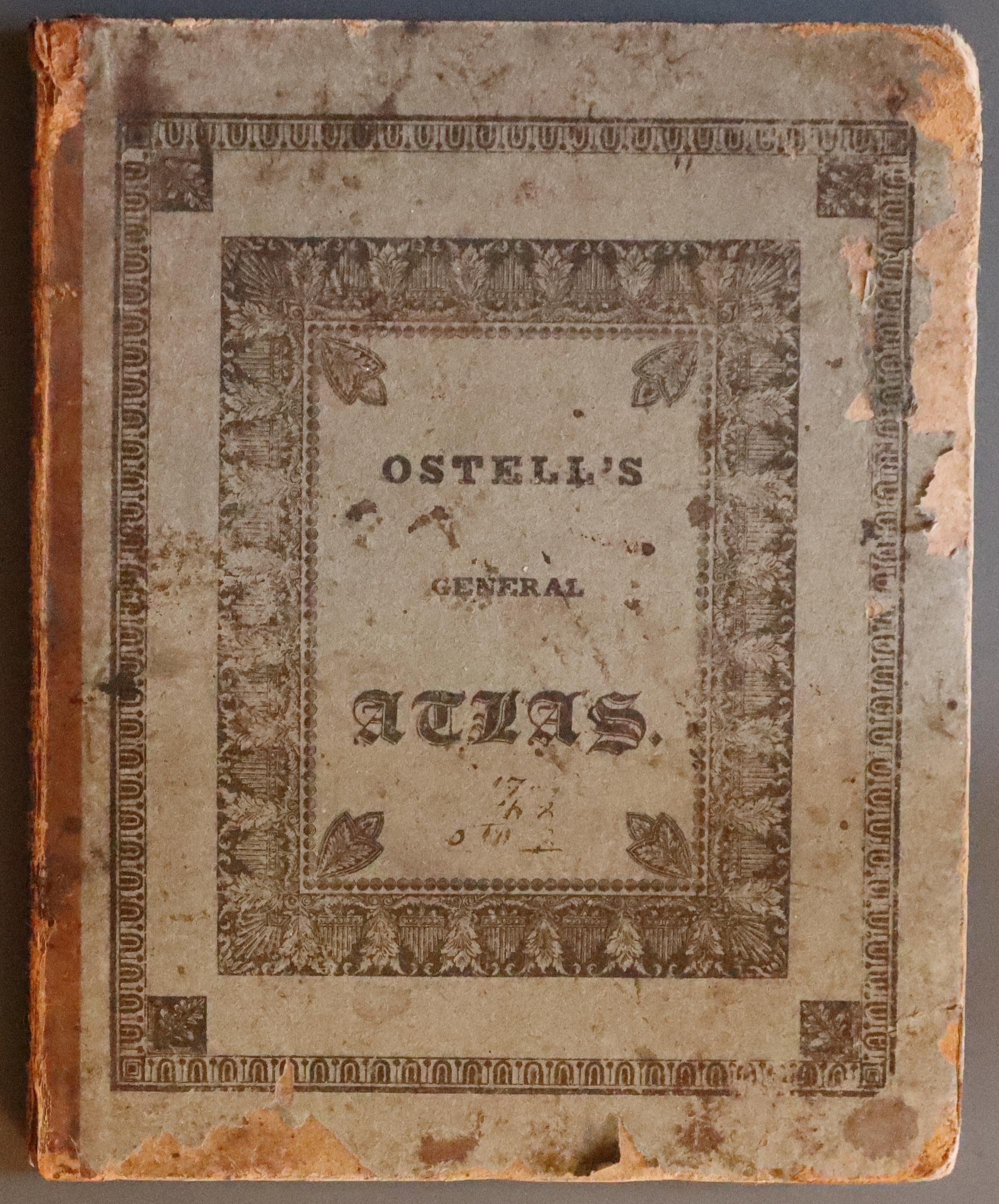
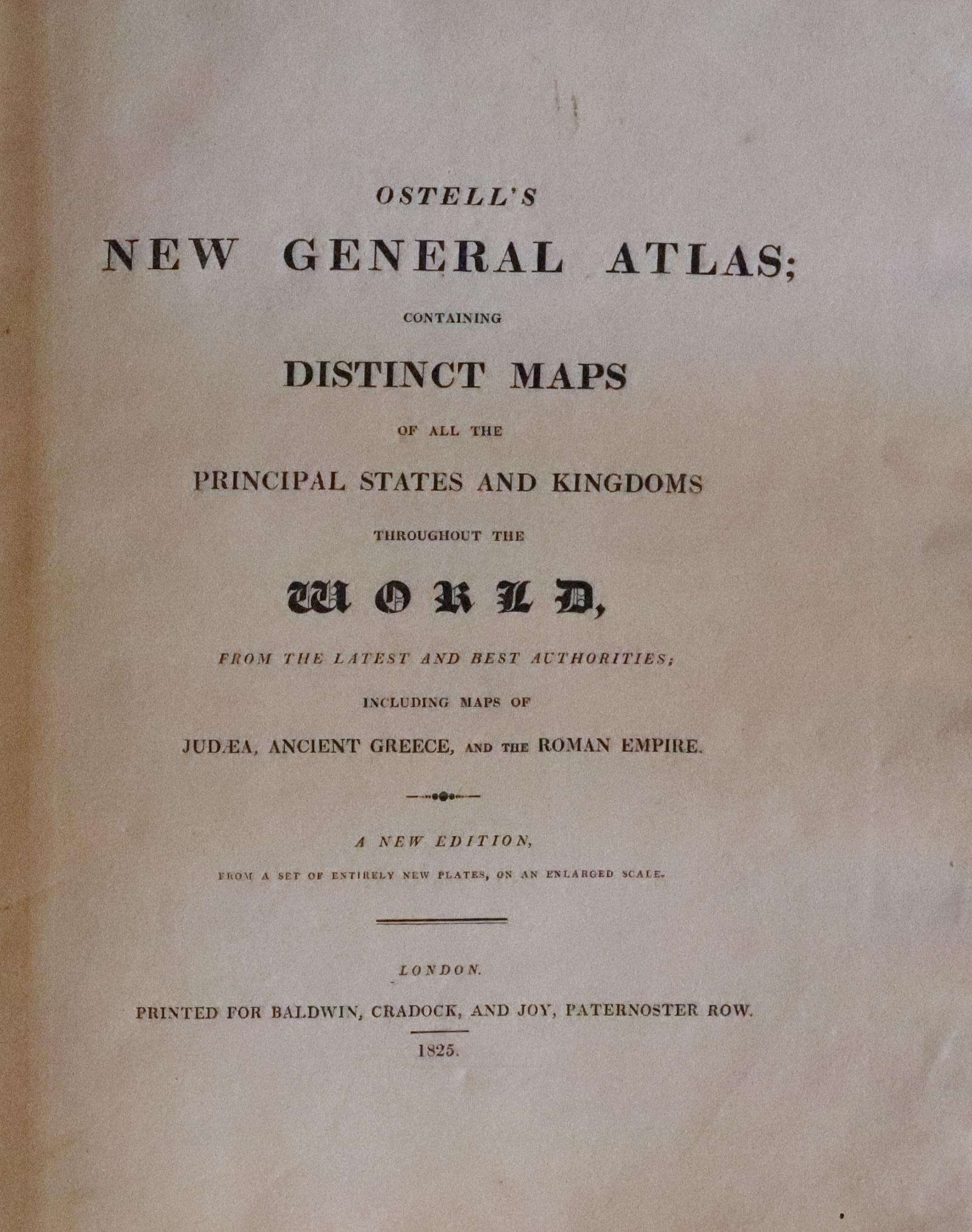
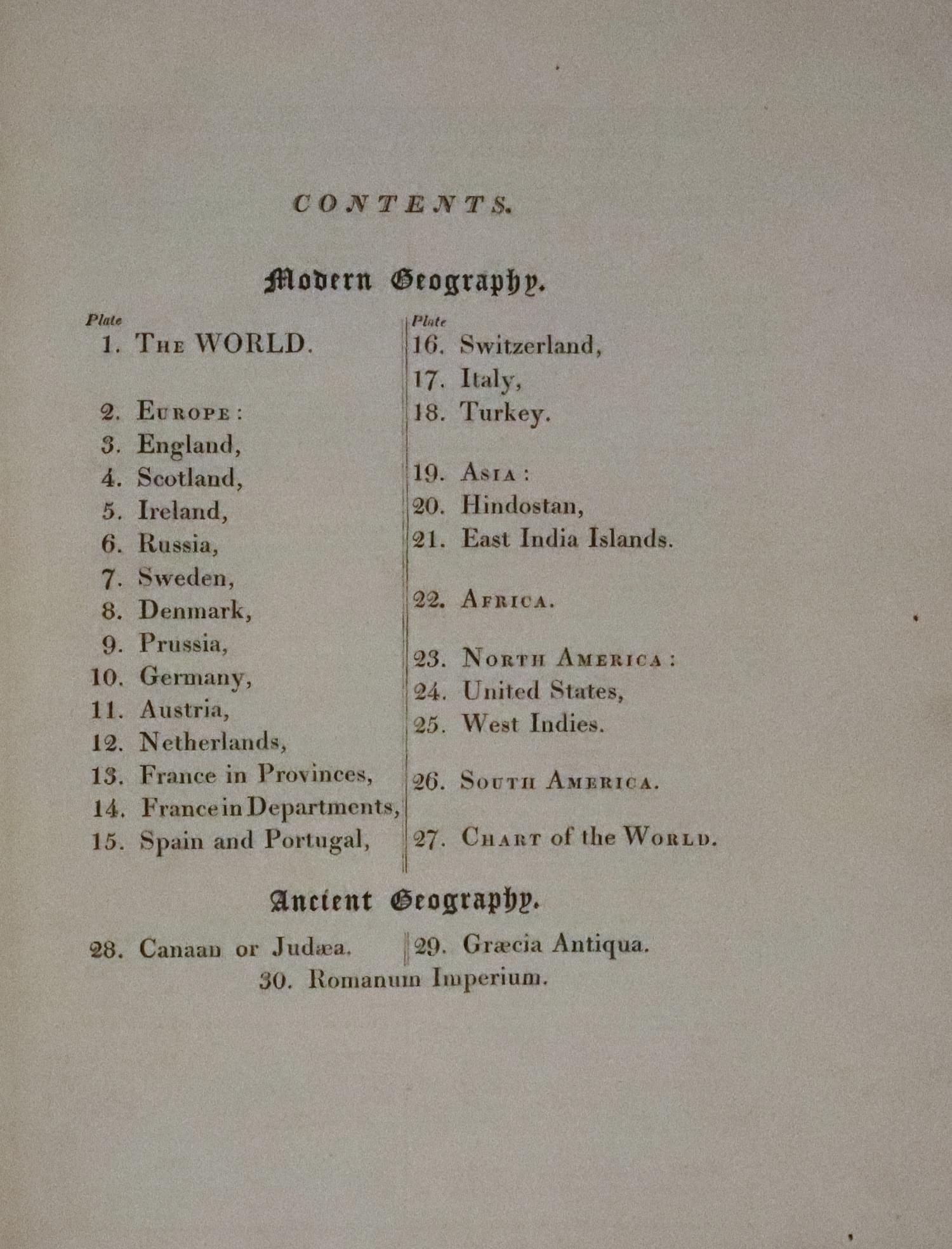
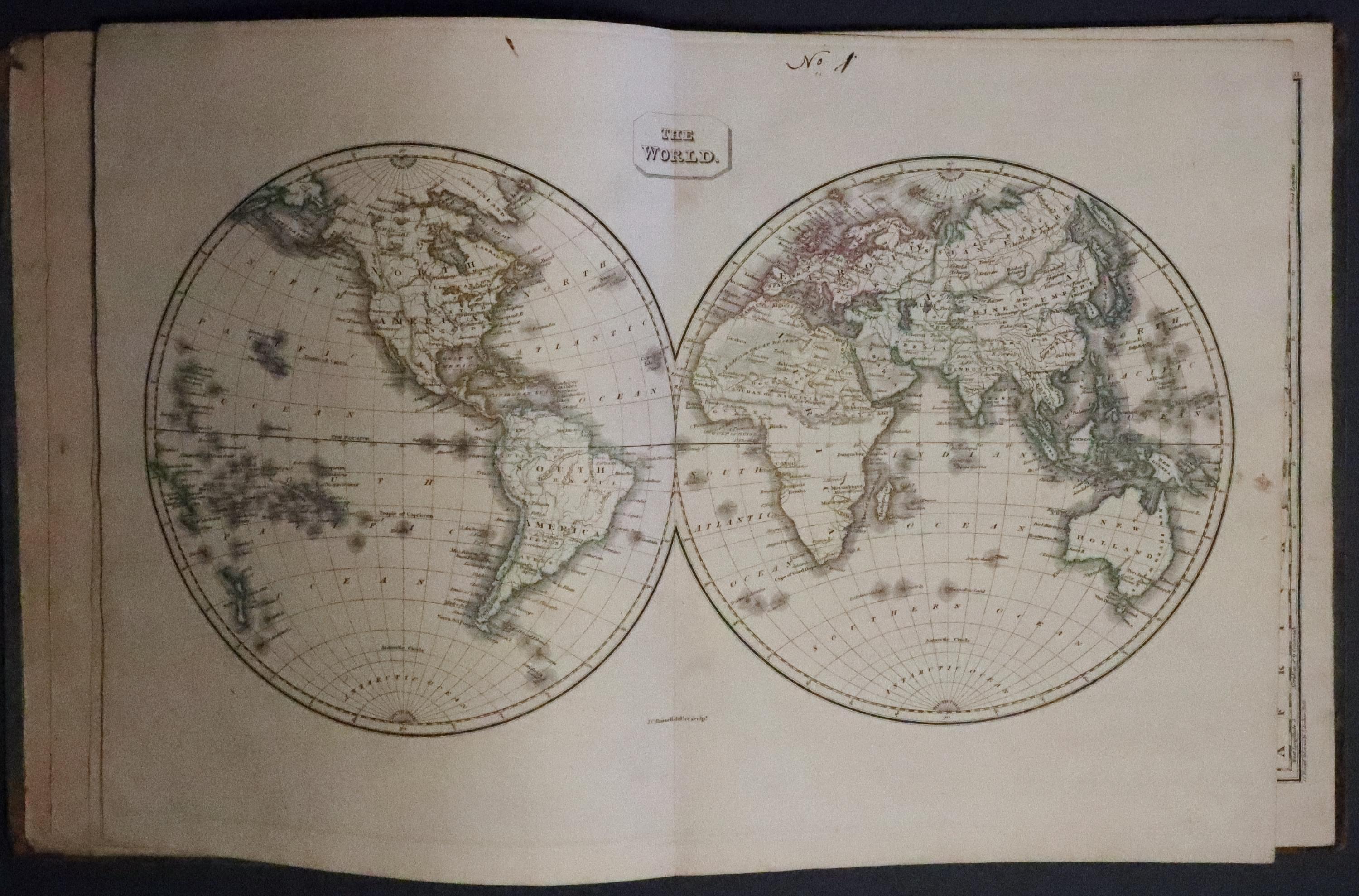
33249 Ostell's New General Atlas, 1825. Price: 195.00
OSTELL’S NEW GENERAL ATLAS CONTAINING DISTINCE MAPS OF ALL THE PRINCIPAL STATES AND KINGDOMS THROUGHOUT THE WORLD FROM THE LATEST AUTHORITIES...A NEW EDITION FROM A SET OF ENTIRELY NEW PLATES, ON AN ENLARGED SCALE. PUBLISHED FOR BALDWIN, CRADDOCK AND JOY, PATERNOSTER ROW 1825
4to, publisher's printed pasteboards, some rubbing, titlepage, contents page with publisher's advert on verso, 30 engraved maps with original outline hand colouring by J .C. Russell (complete), The two world maps are double-page. Manuscipt number in the top blank margin of each map. One or two small wormholes in the bottom blank margin of each map. Maps generally all in good clean condition.
Early 19th Century World Atlas
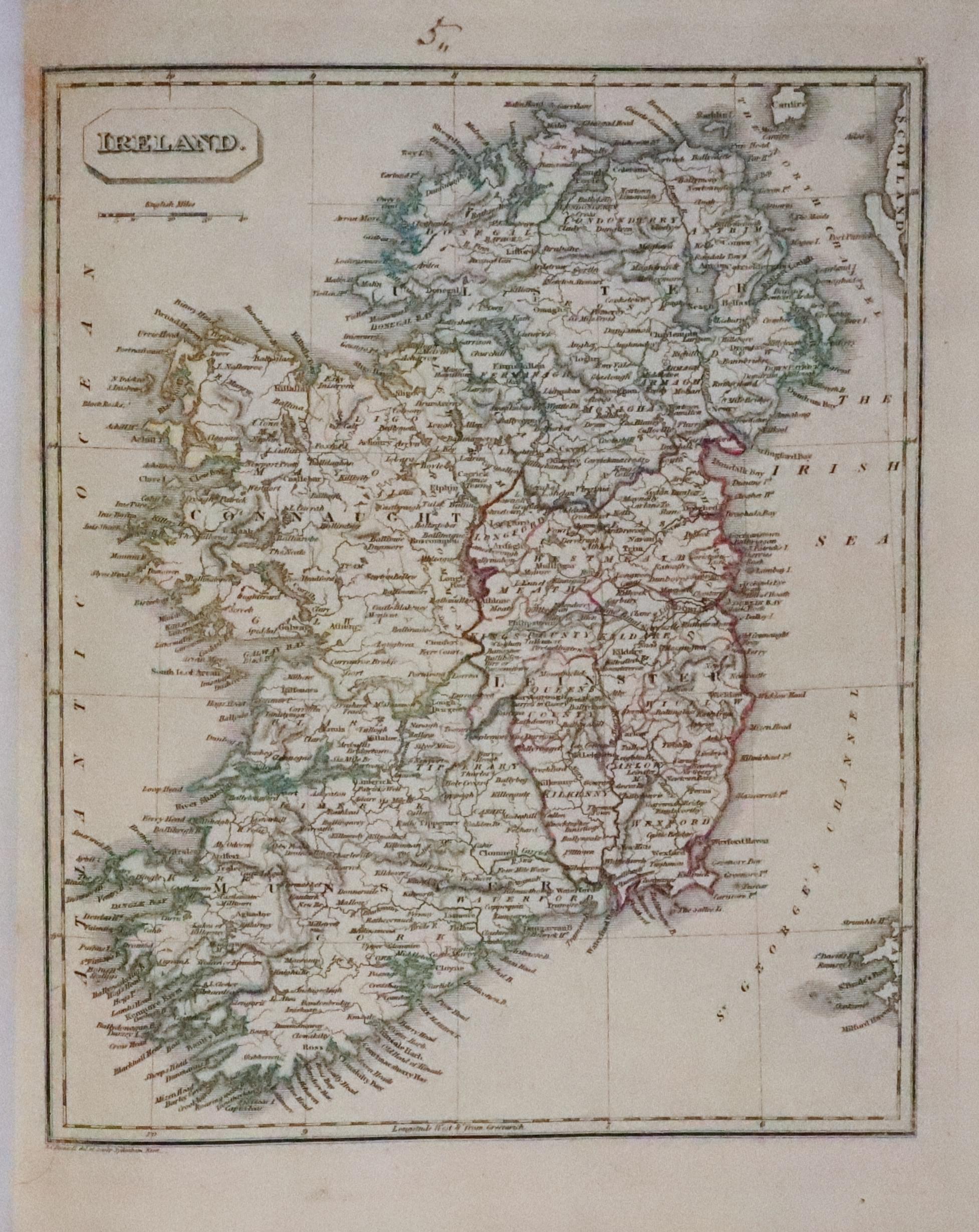
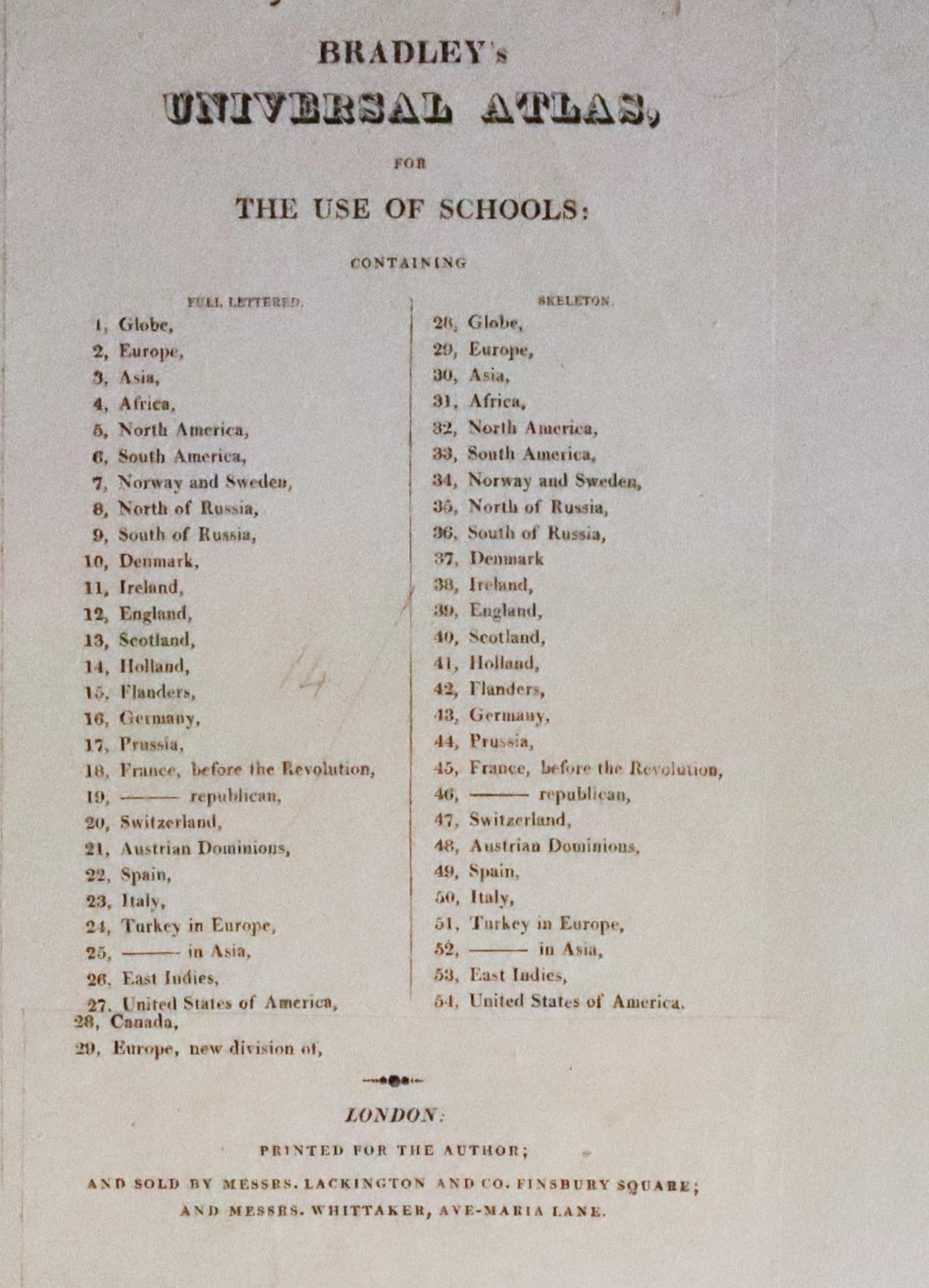
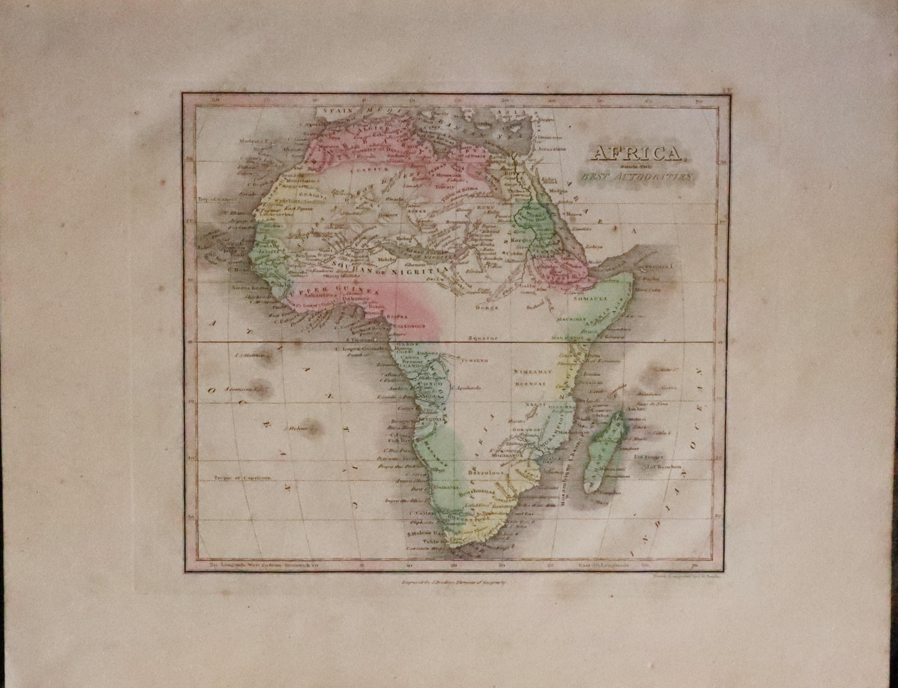
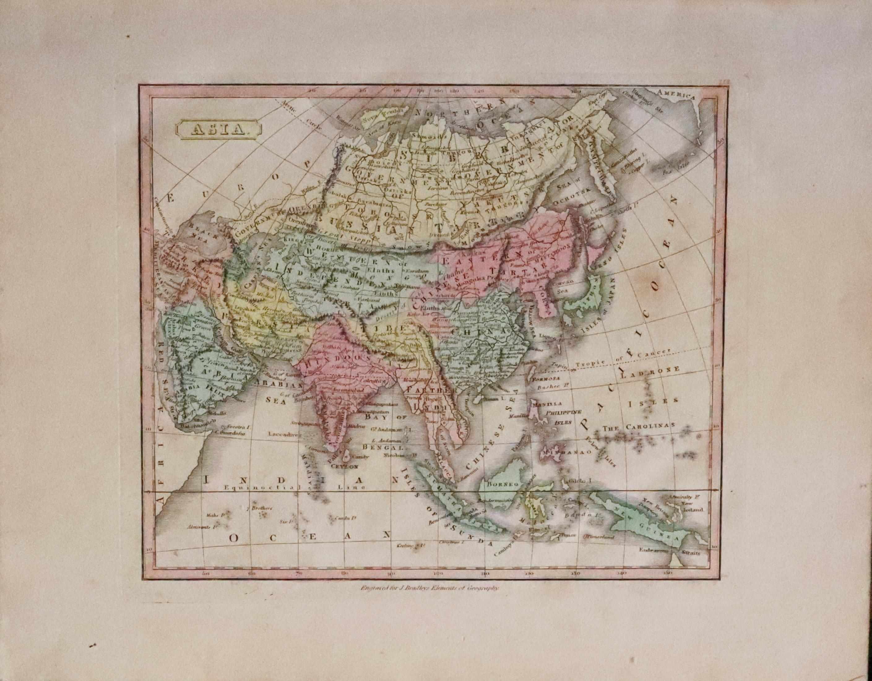
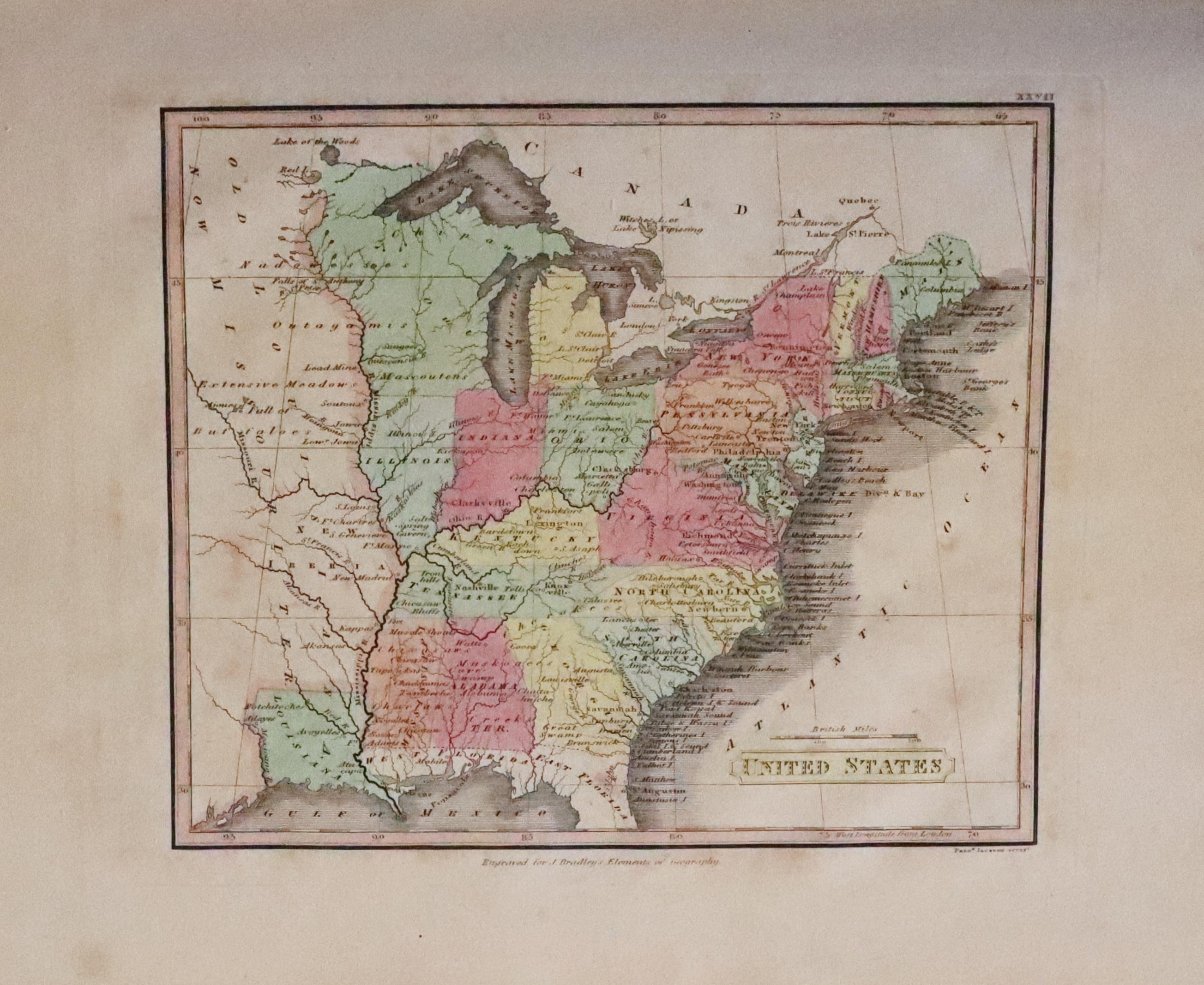
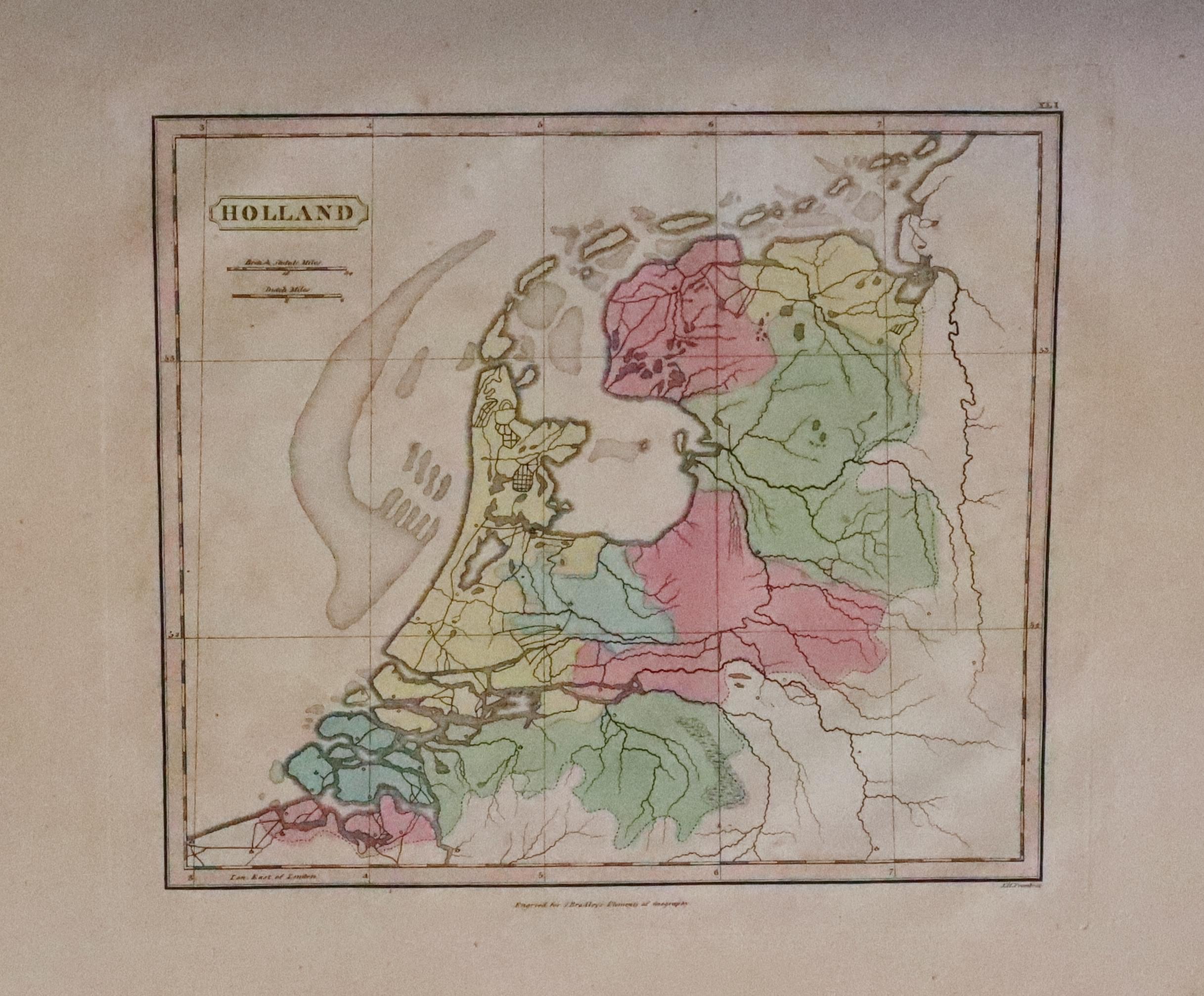
33250 Bradley's Universal Atlas, c.1818. Price: 230.00
BRADLEY’S UNIVERSAL ATLAS FOR THE USE OF SCHOOLS
No title page to this atlas which is possible missing. The title is shown on a pasted page onto the inside of the front board which lists the maps to which an additional piece of printed text has been pasted listing two further maps - Canada and New Division of Europe. Printed for the Author; and Sold by Messers. lackington and Co. Finsbury Square; and Messers. Whittaker, Ave-Maria Lane, London. There are 29 normal hand coloured engraved maps each bearing a publishers imprint “Engraved for J. Bradley’s Elements of Geography. These are followed by 27 hand coloured engraved maps titled but having no place names. Designed for educational use. Small corner missing of the wide blank margin on the Austrian Dominions map. Otherwise the maps are in nice order. Scattered very light browning on some maps but otherwise a nice specimen. Marbled boards with printed text showing through or transfered from with pasted title label. Quarter bound. Bookplate of R. H. Johnstone
19th Century World Atlas
-

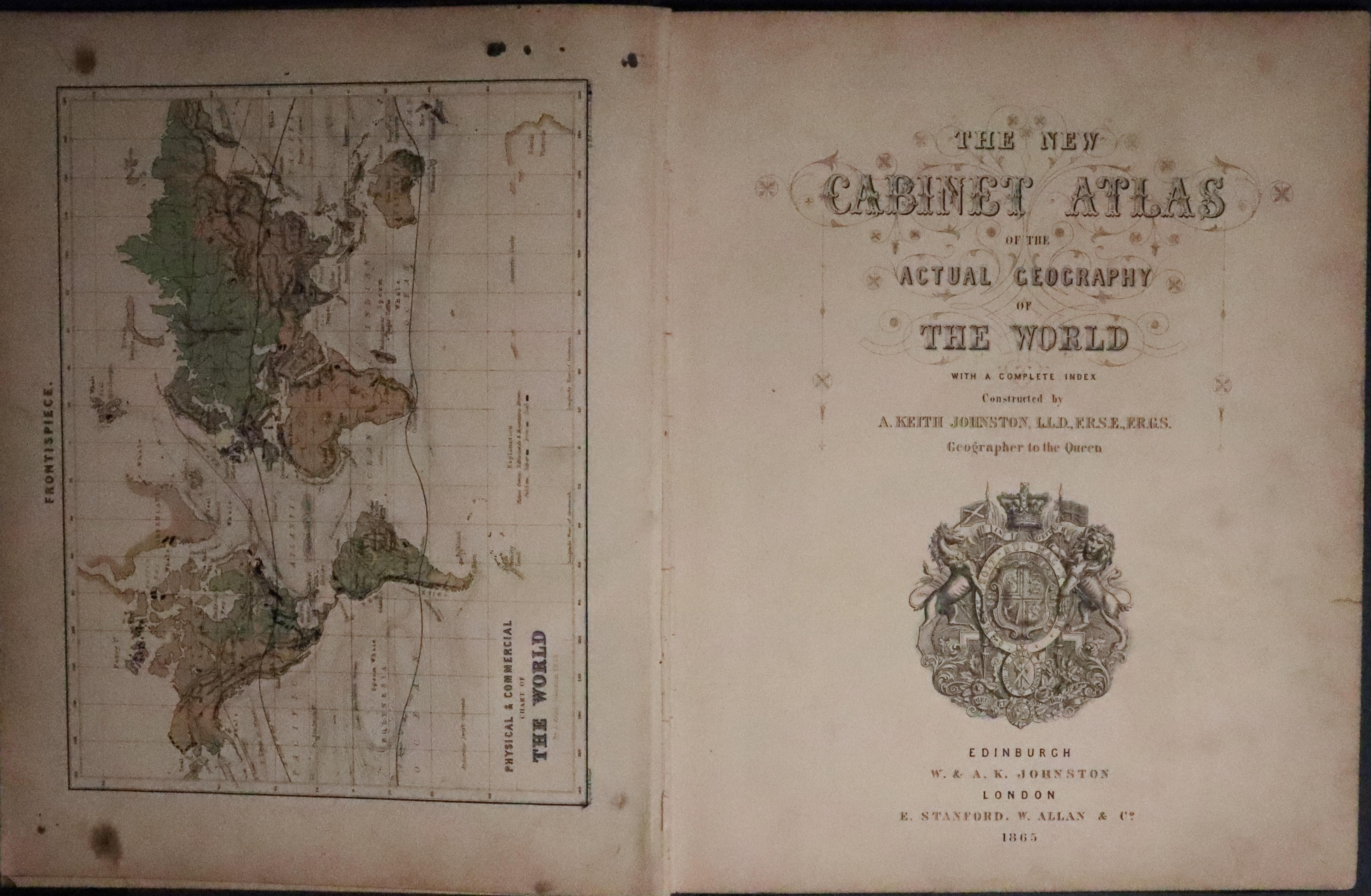
The Cabinet Aylas title page
-

-

-

-

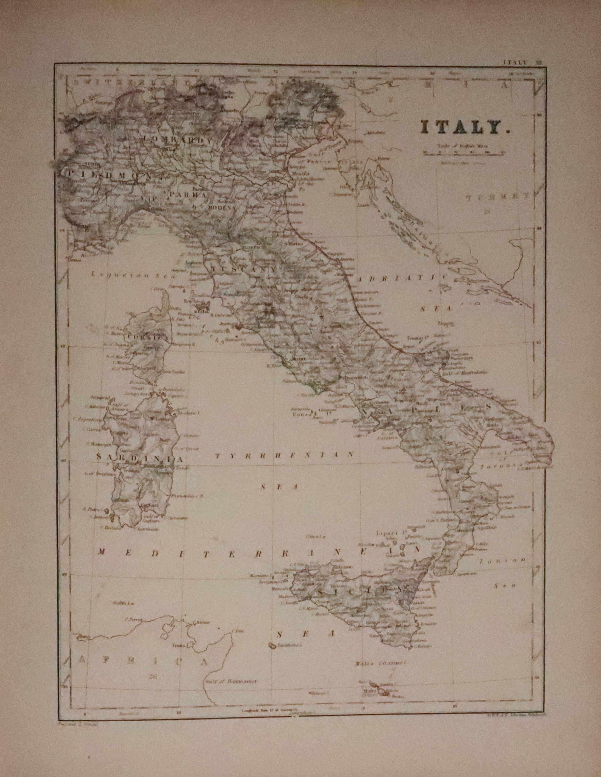
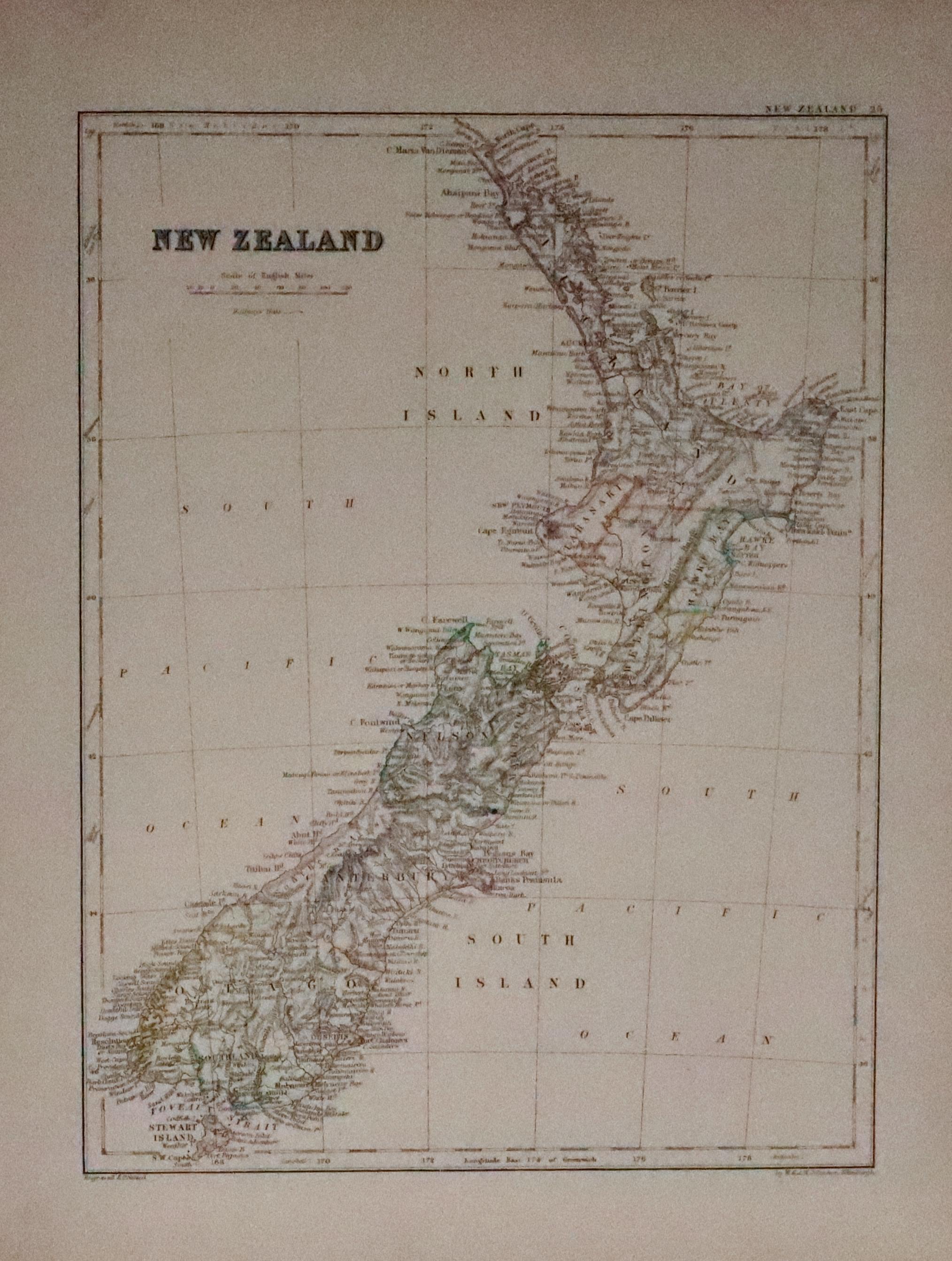
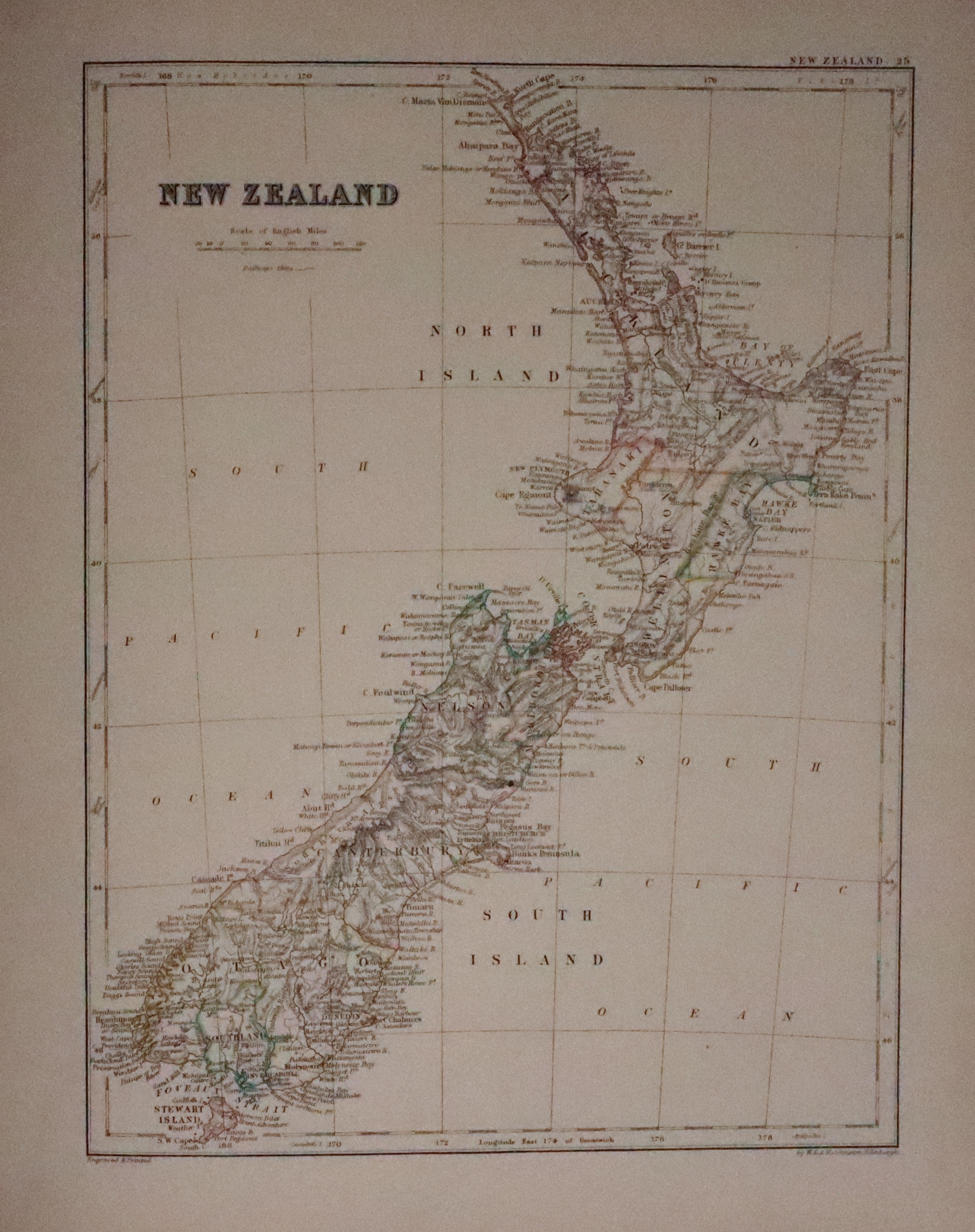
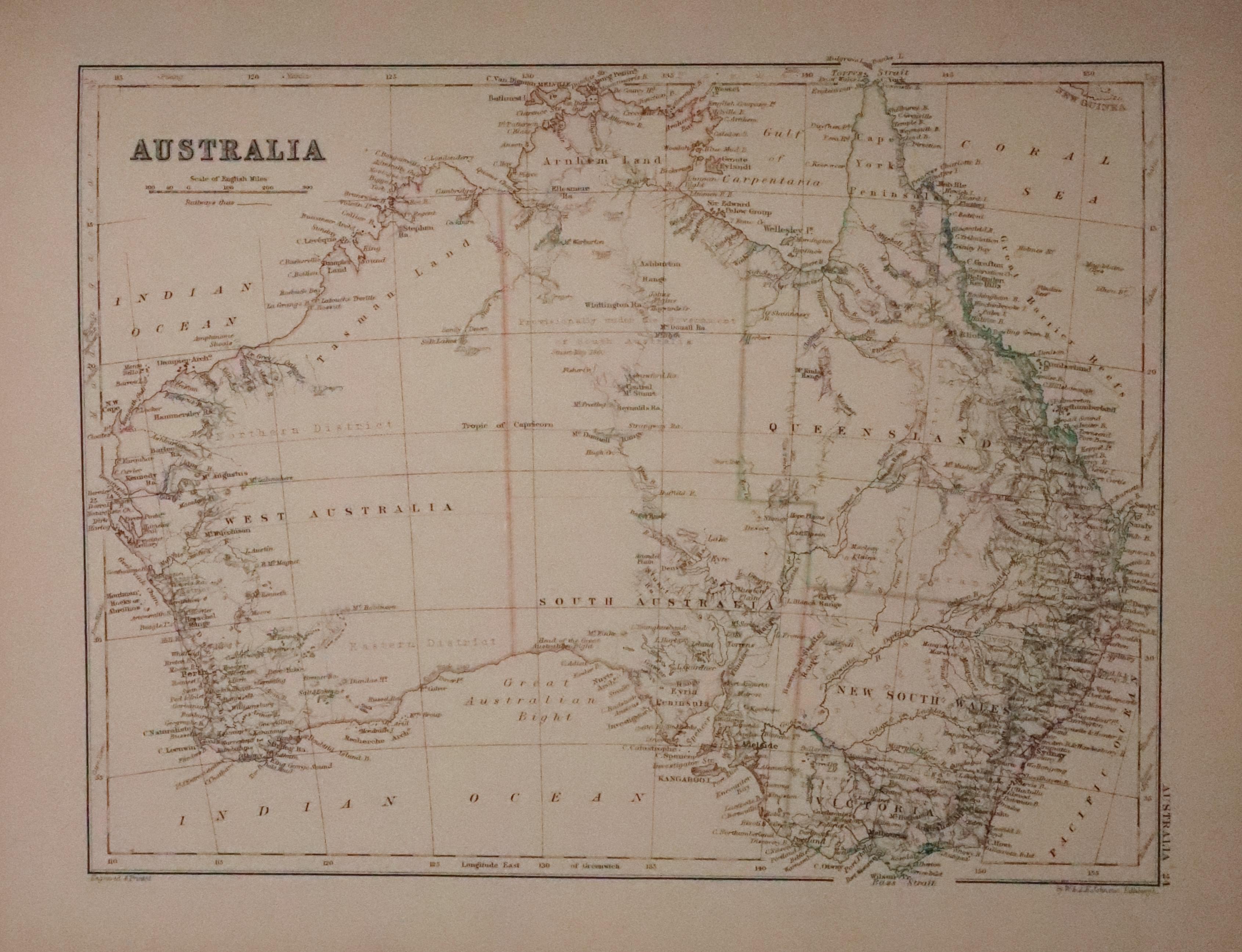
33251 The New Cabinet Atlas, A. J. Johnston, 1865. Price: 110.00
THE NEW CABINET ATLAS OF THE ACTUAL GEOGRAPHY OF THE WORLD With a Complete Index Constructed by A KEITH JOHNSTON, LLD.,FRSE.,FRGS. Geographer to the Queen / Edinburgh W. A. K. Johnston London E. Stanfodf. W. ALLAN & CO. 1865
Titled front board and plain back board, half bound with gilt edges. Some staining and ink marks to the margins of the the World map facing the title page dated 1865 which has some light browning. Contents page. The following 33 colour printed mapasare all in good condition. 4to. Bookplate of R. H. Johnstone
Travel and Topography
-

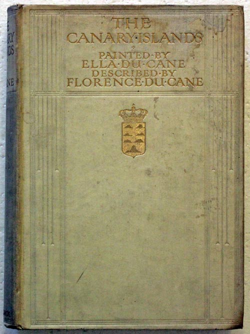
Cover of The Canary Islands
-

-
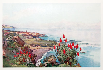
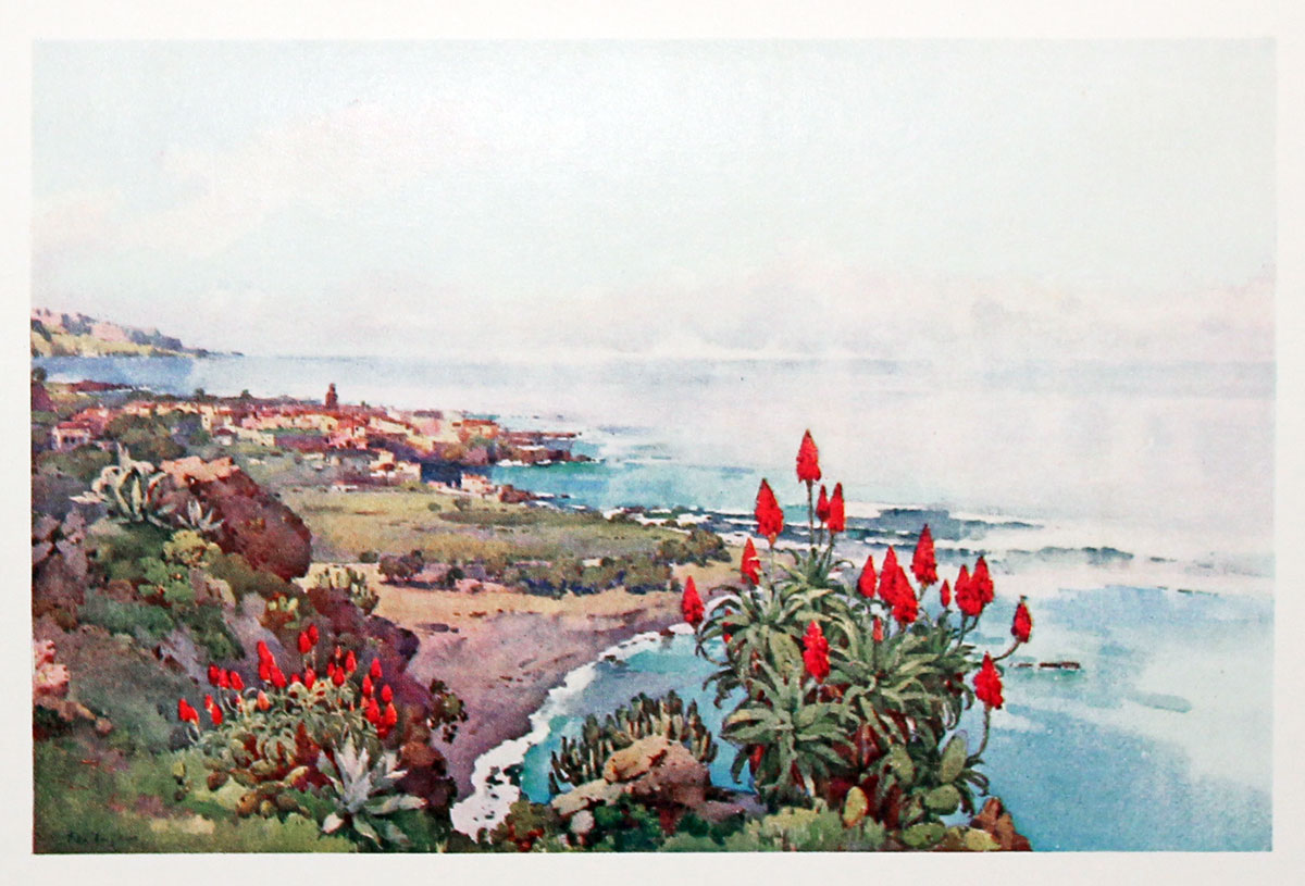
Plate 8 Puerto Orotava
28504 The Canary Islands, Ella and Florence du Cane, 1911. Price: 25.00
THE CANARY ISLANDS Painted by Ella du Cane Described by Florence du Cane. Published by A. & C. Black 1911. First edition. 8vo. 172 pp. Folding map and 19 of 20 colour plates. Plate 4 The Peak, from Villa Oratava missing. Cream boards with gilt lettering lightly soiled. No jacket.
Can only be sent to a UK address
-
Decorative binding
-
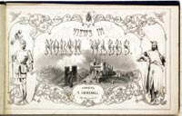
North Wales Frontispiece
-
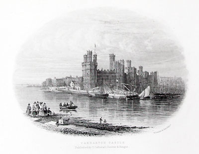
Conway Castle
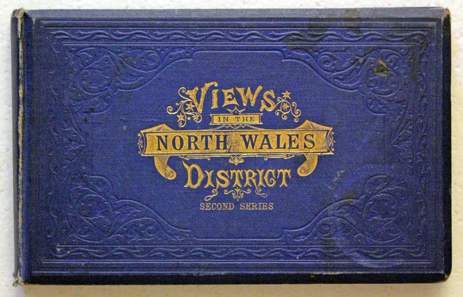
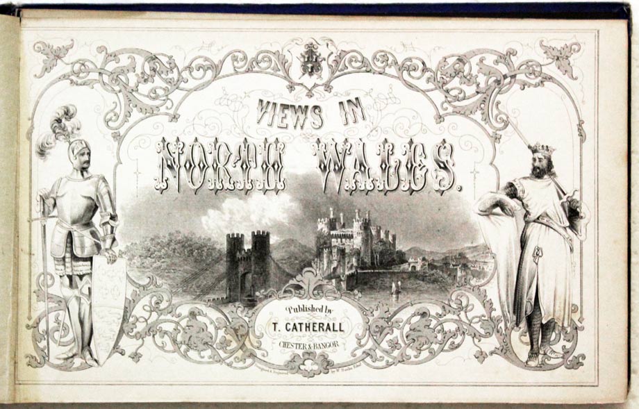
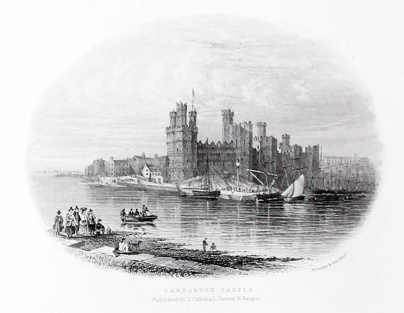
91069 VIEWS IN NORTH WALES. Price: 80.00
VIEWS IN NORTH WALES. Published by T. Catherall Chester & Bangor. An interesting illustrated antiquarian book. Oblong 8vo. Blue gilt titled cloth. Pictorial titlepage and 29 steel engraved vignette views each guarded. Each plate has the title and publishers details beneath. Includes Caernarvon, Conway, Llandudno and Rhyl. Not dated, circa 1845.
Can only be sent to a UK address
-
-

-

-

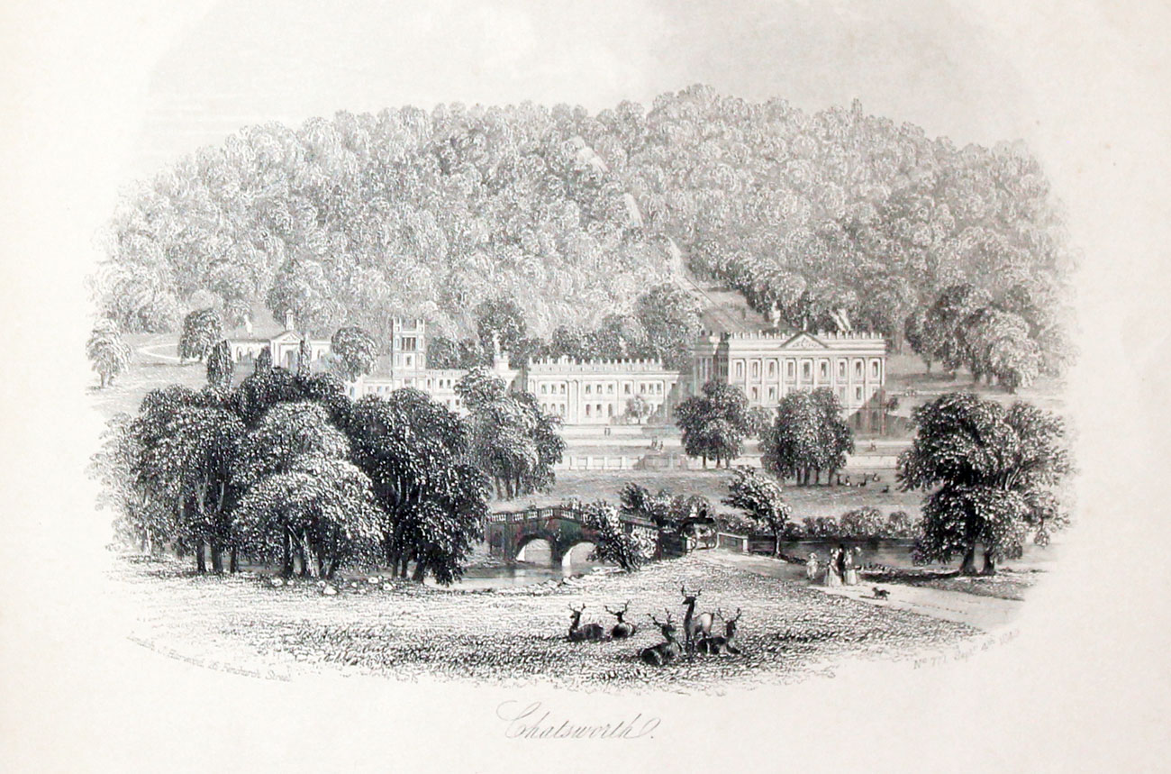
Chatsworth
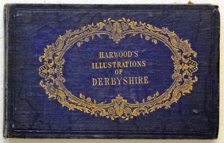
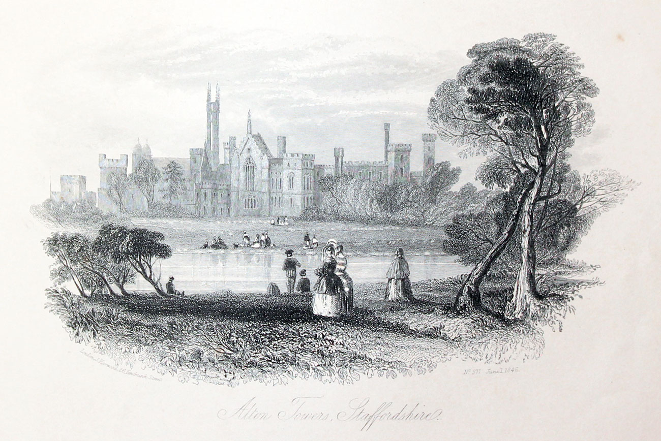
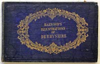
23822 Harewood’s Illustrations of Derbyshire, c.1850. Price: 98.00
A bound collection of 30 steel engraved views of Derbyshire. Some plates dated. Blue cloth covered boards with gilt cartouche displaying the title. Oblong 8vo, 8 1/4 x 5 1/4 inches. The plates are lightly toned but are in good condition. The subjects include
- Buxton
- Bakewell (2)
- Haddon Hall
- Chatsworth
- Matlock
- Dove Dale
- Ilam Hall
- Peveril Castle
- Hardwick Hall
- Bolsover Castle
- Alton Towers
- Ilam Church
Can only be sent to a UK address
-

Greece by Christopher Wadsworth
-

Greece
-

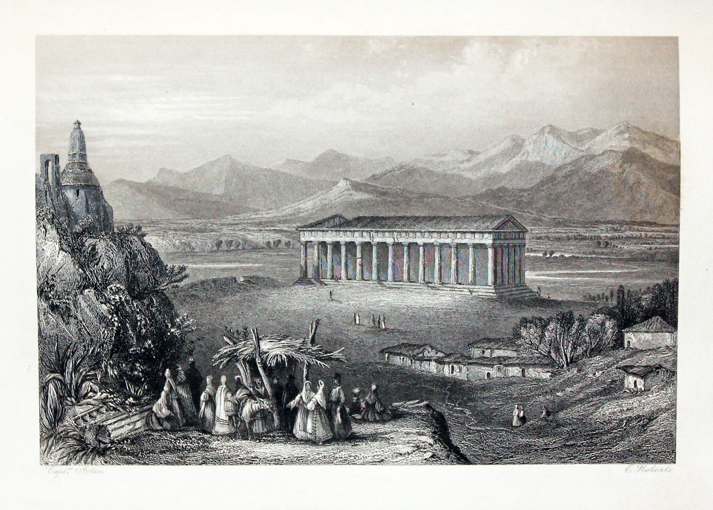
Temple of Theseus at Athens
91083 GREECE, PICTORIAL, DESCRIPTIVE & HISTORICAL BY CHRISTOPHER WADSWORTH, D.D. Price: 160.00
First edition, 1839. 8vo. 2 maps and 24 steel engraved plates. Large number of woodcut illustrations in text. Half green morocco and marbled boards. Slight scuffing to binding but generally a nice copy.
Can only be sent to a UK address
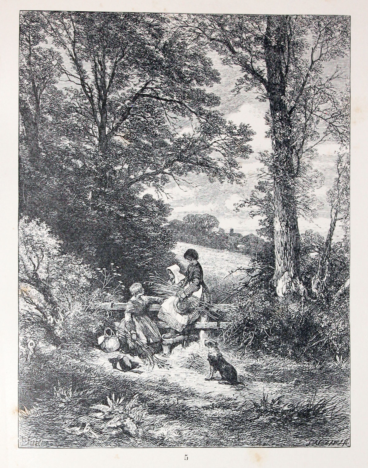
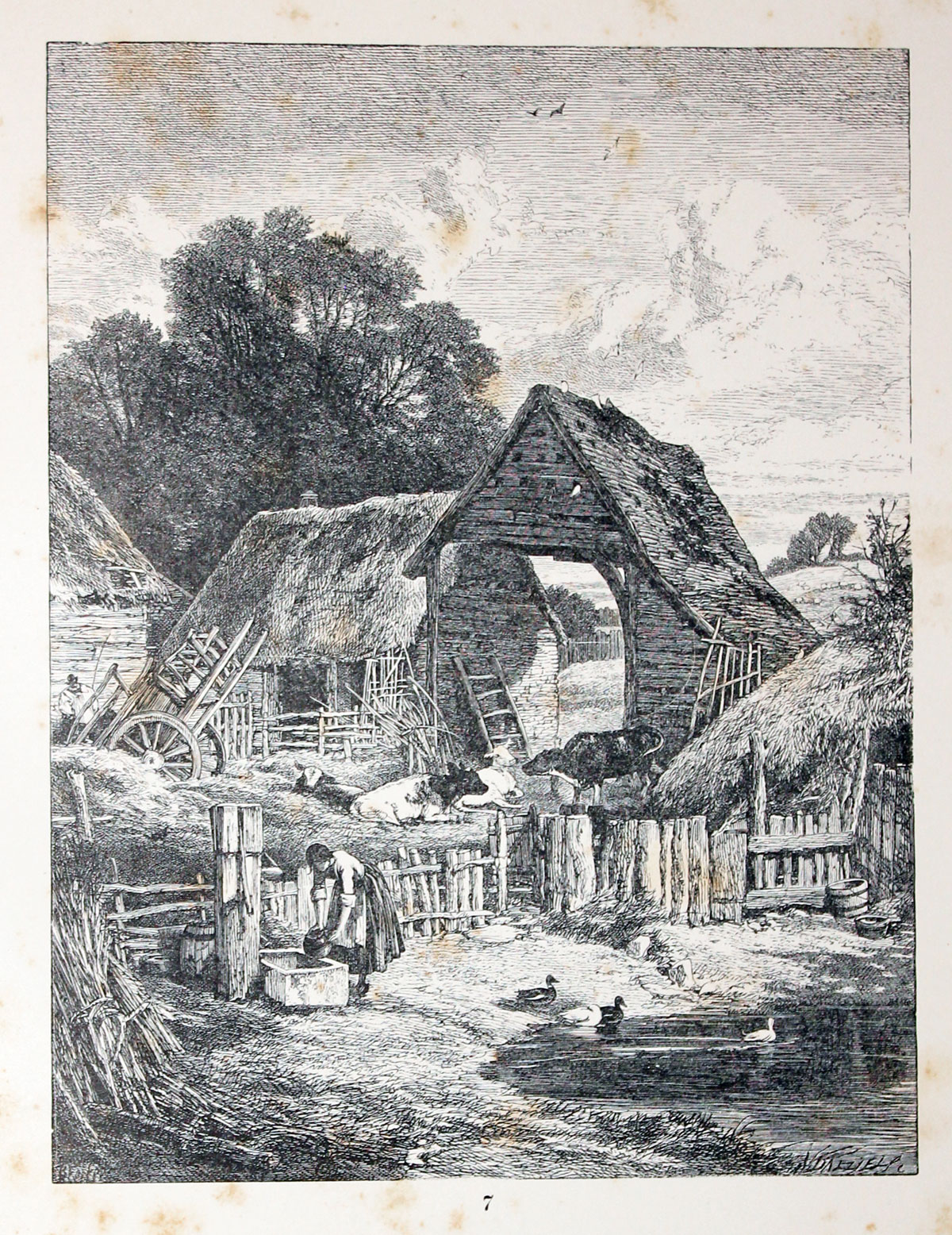
26527 English Landscape, Birket Foster, 1863. Price: 55.00
BIRKET FOSTER’S PICTURES OF ENGLISH LANDSCAPE (Engraved by the brothers Dalziel). With pictures in words by Tom Taylor. Routledge, Warne and Routledge, 1863. Large 8vo. Half red calf and morocco boards, worn. All edges gilt. 30 full-page woodcut plates with accompanying text. Thick paper. Scattered foxing throughout. Titles include
- Donkeys on the Heath
- The Gleaners at the Stile
- Building the Hay-Rick
- The Smithy
- The Ferry-Boat
- The Cottage on the Beach
Can only be sent to a UK address
-
Cover
-

-

-

-
-
-

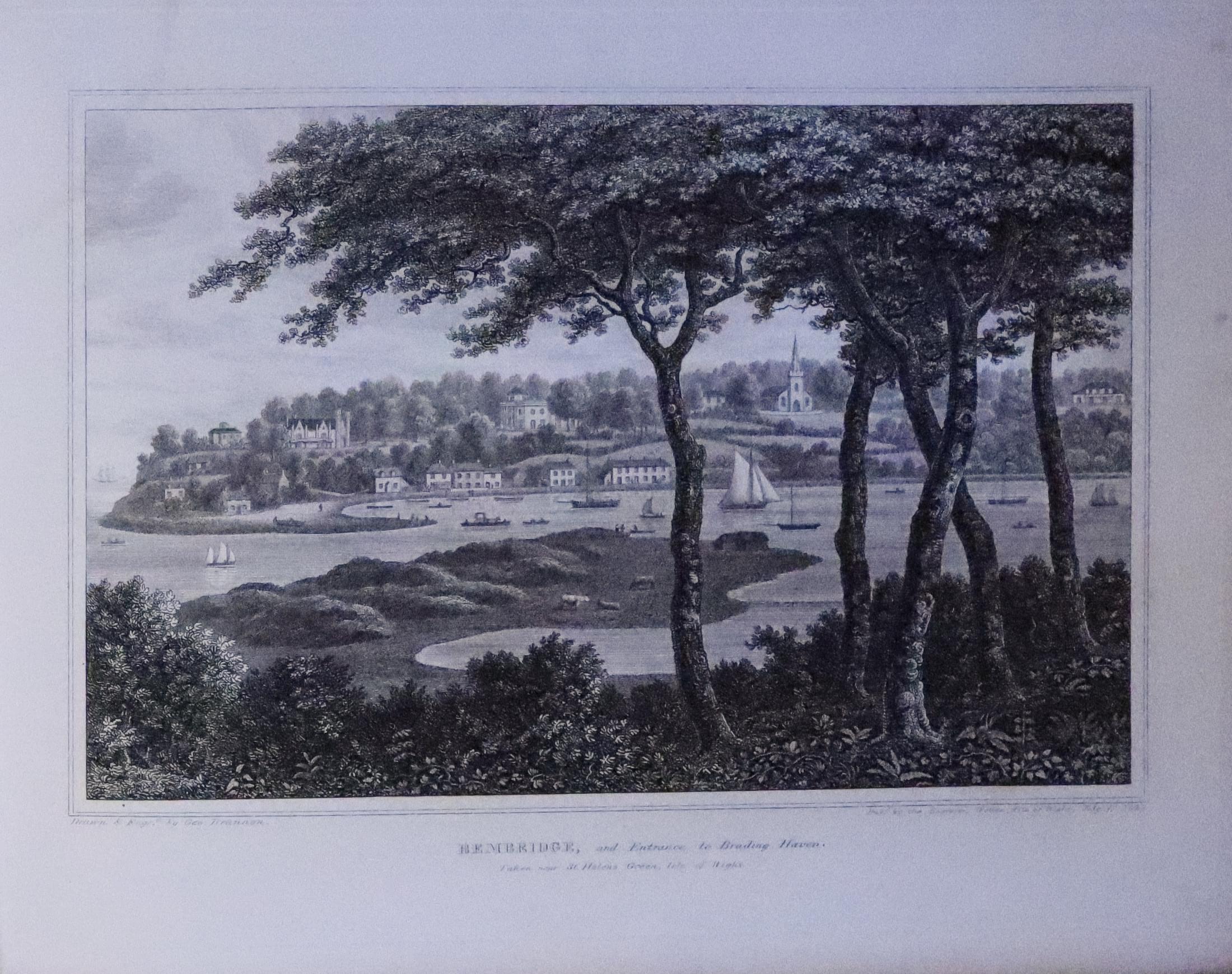
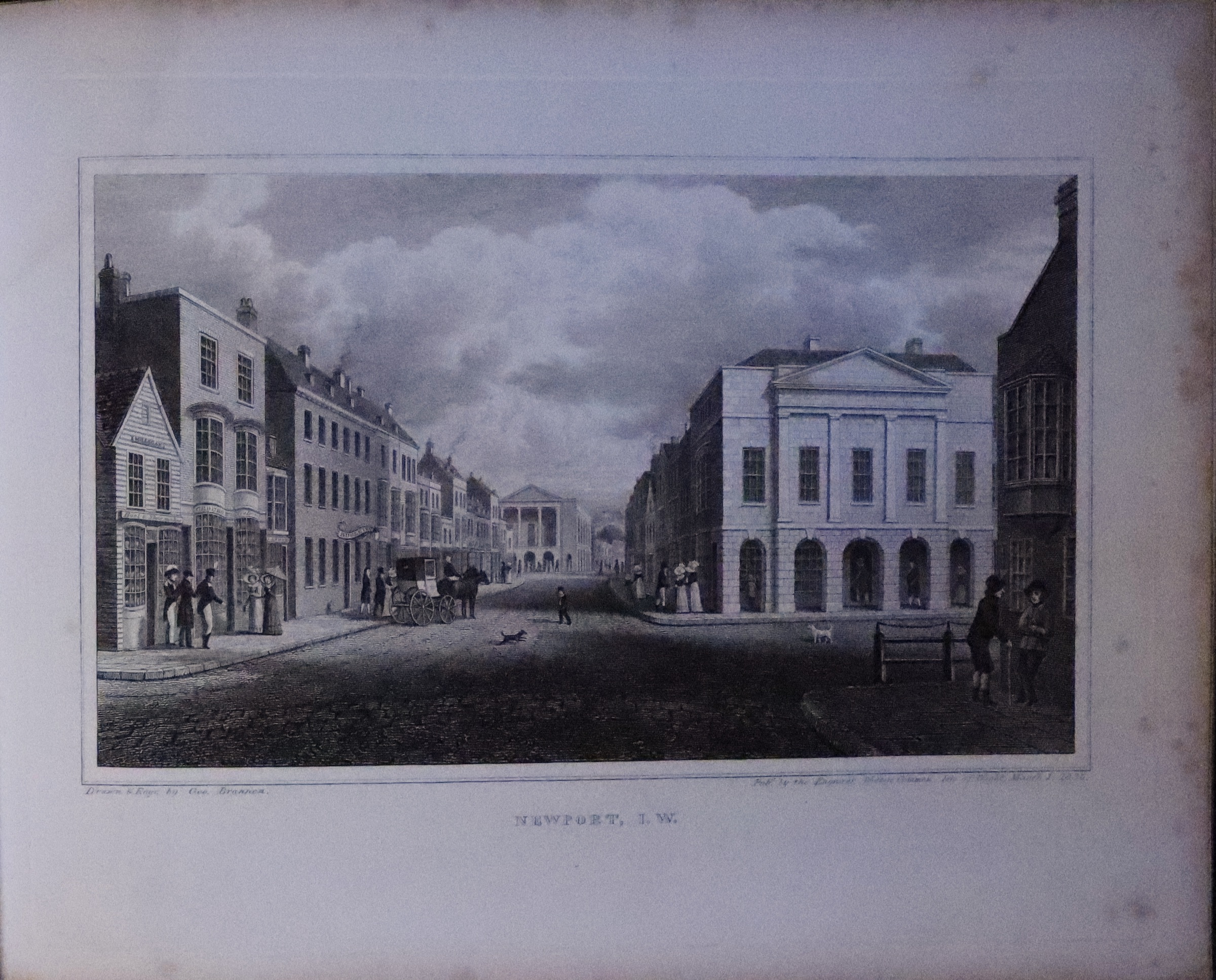
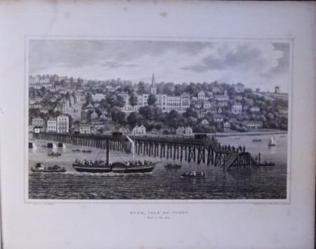
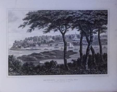
Newport Isle of Isle of Wight, G. Brannon
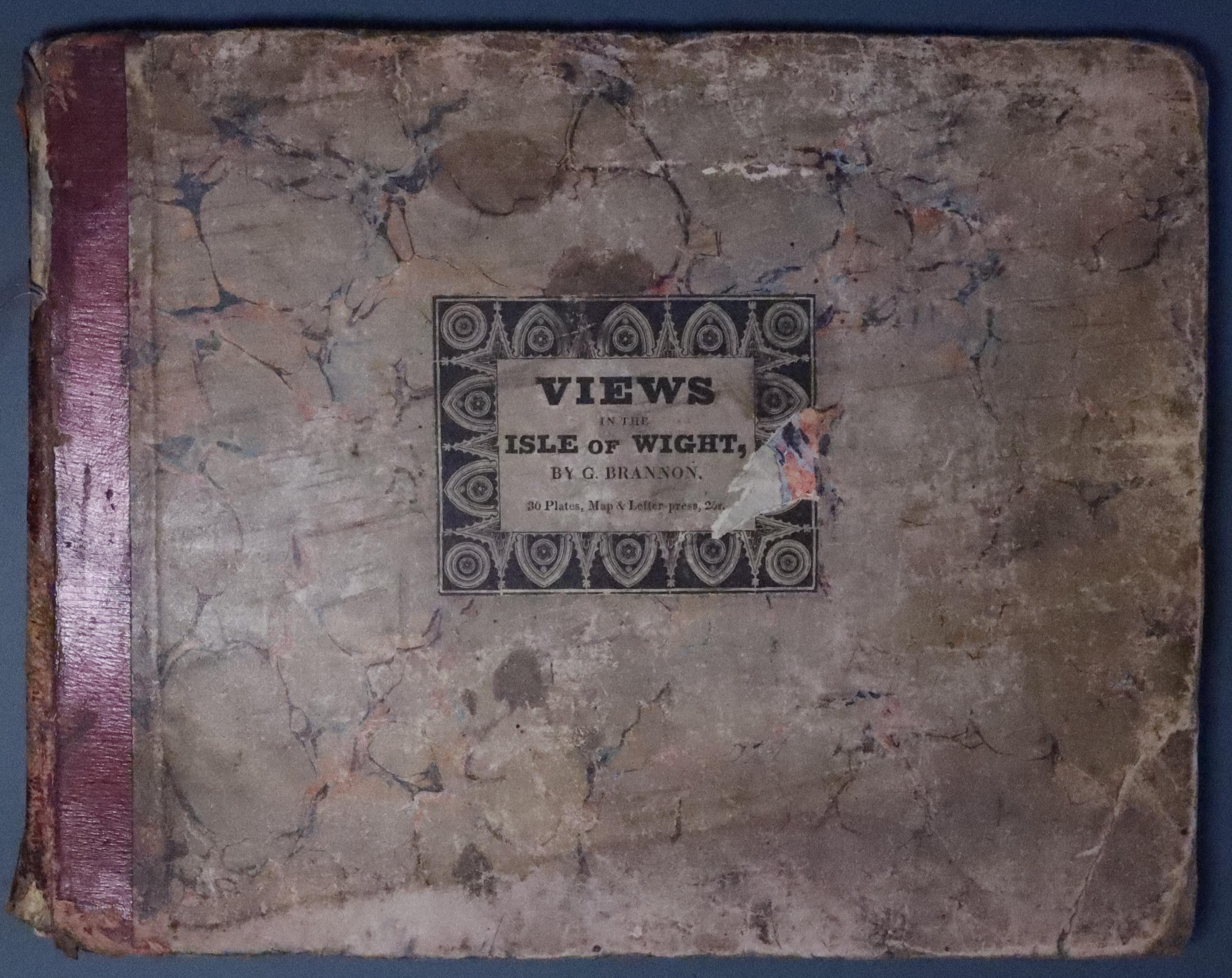
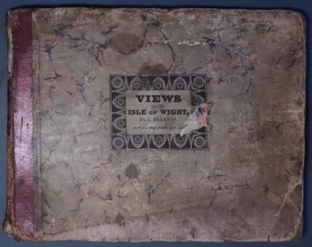
33278 Isle of Wight, George Brannon, 1831. Price: 185.00
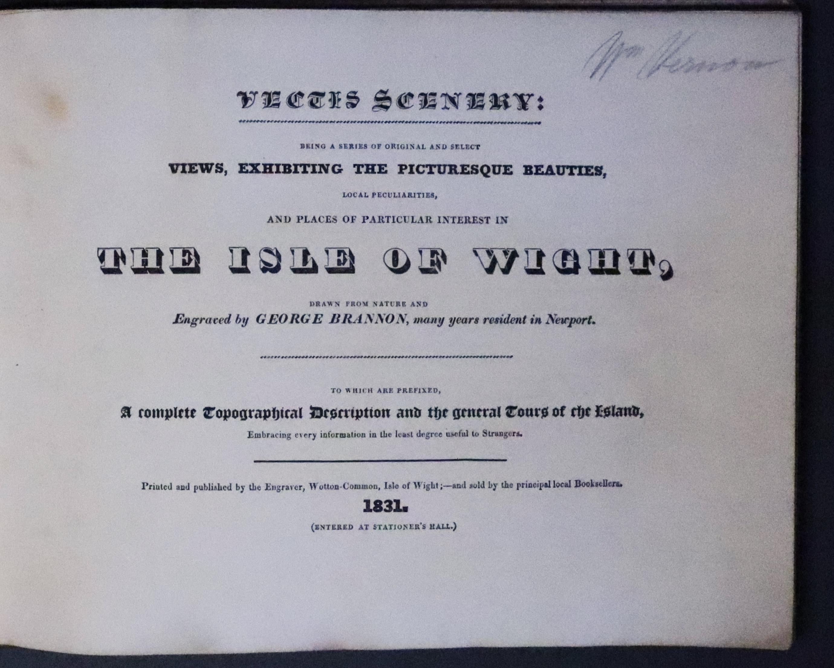
Vectis Scenery: / Being a serie of original and select / Views, Exhibiting the Picturesque Beauties. /Local peculiatities, / and places of particular interest in / THE ISLE OF WIGHT..... 1831
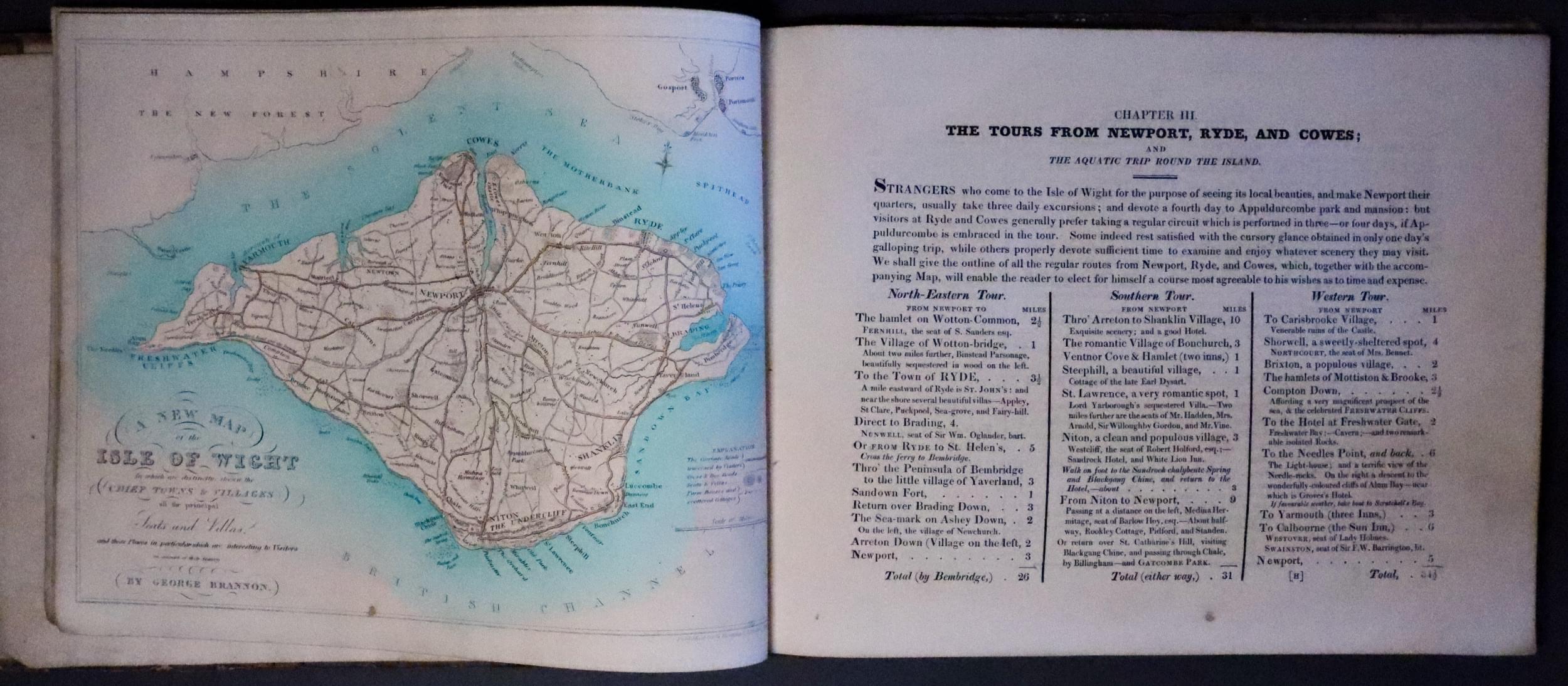
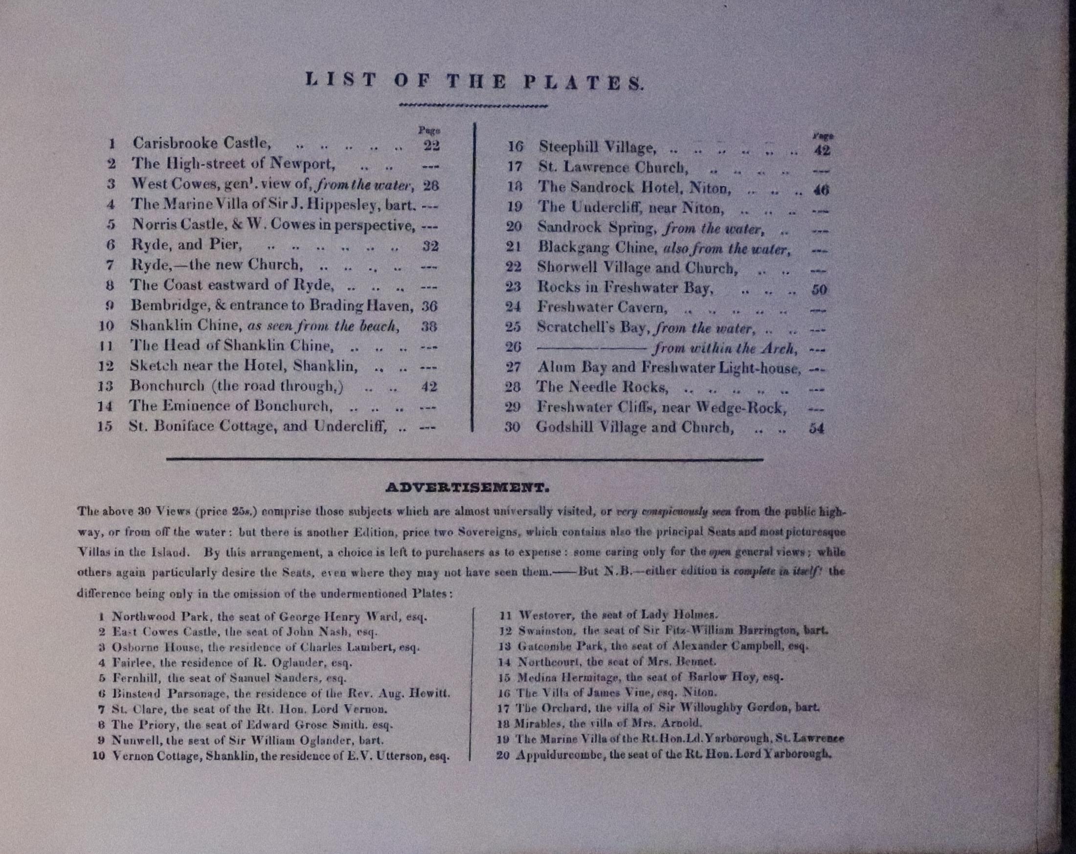
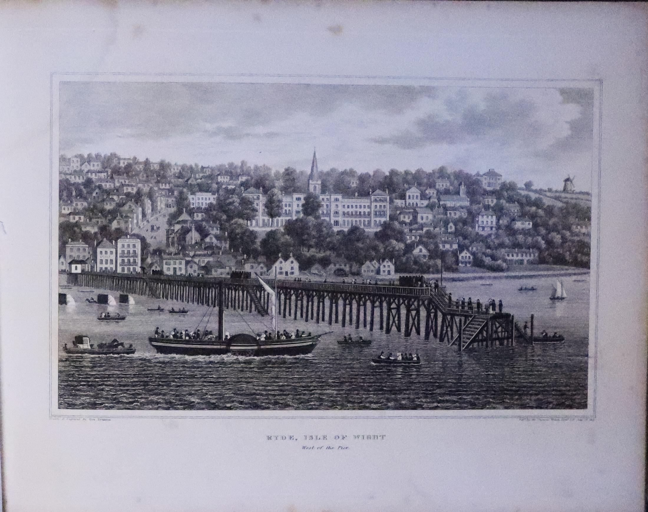
Hand coloured engraved map of the Isle of Wight and 30 engraved views. Oblong 4to. Original marbled boards, worn, with original damaged label. Text and plates generally very good with some occasional light scattered foxing.
Sporting
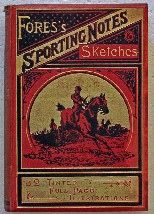
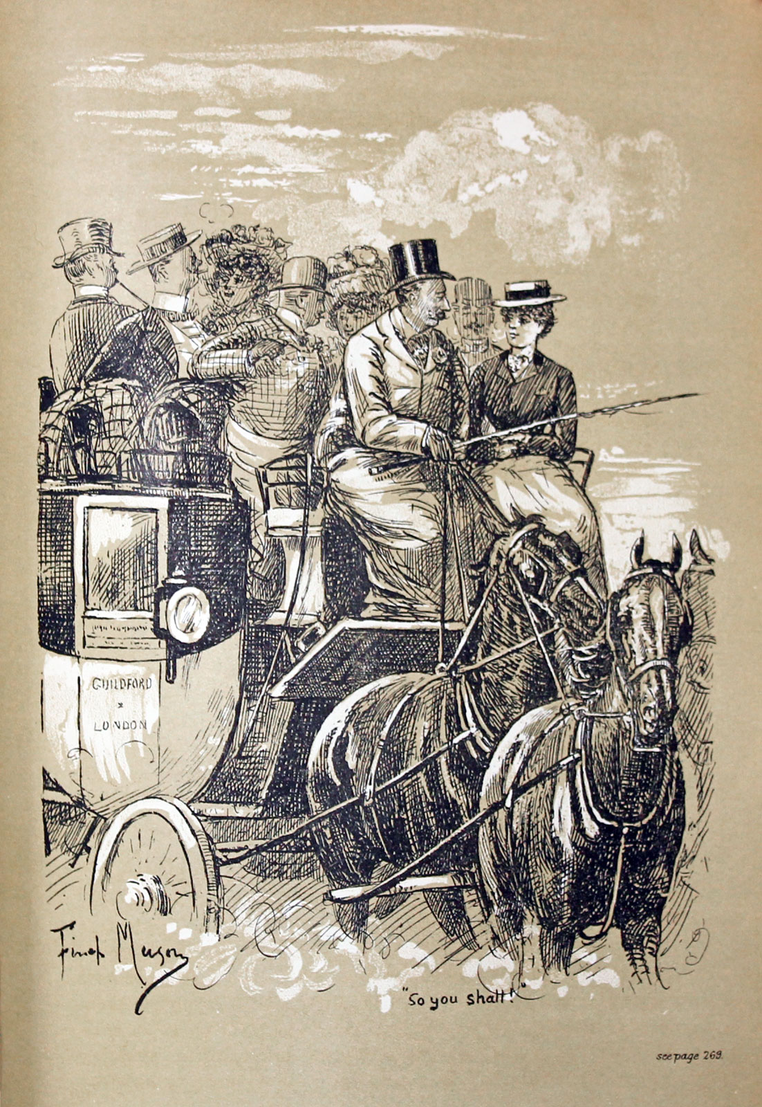
91077 FORE'S SPORTING NOTES & SKETCHES. Price: 25.00
A Quarterly Magazine Descriptive of British, Indian, Colonial and Foreign Sport. Volume XXII, 1905. 4to. Original decorative red cloth. 32 plates of Fox hunting and other sports. 304 pp. Good condition.
Can only be sent to a UK address
-
Three Hunting Songs by R. E. E. Warburton
-

Fox Hunting
-

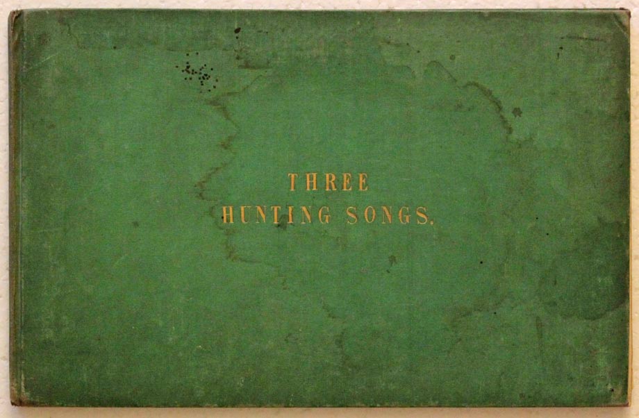
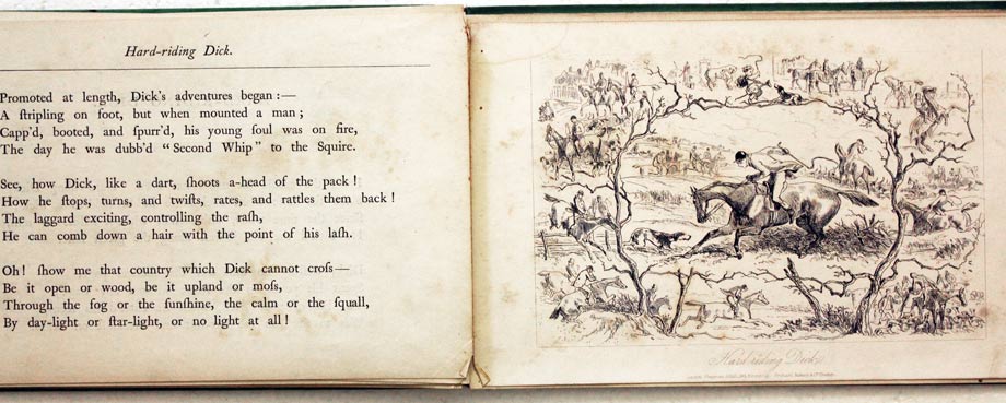
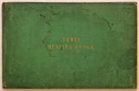
26507 Three Hunting Songs, R. E. E. Warburton [Egerton-Rowland], 1855. Price: 55.00
THREE HUNTINGS SONGS BY REE WARBURTON ESQ. With Illustrations by H. K. Browne. [Hablot Knight] Published by Chapman and Hall, 183 Piccadilly and Pritchard, Roberts & Co. Chester. 1855. 16 printed pages, title page and three full page engravings to illustrate the songs
- We are all of us tailors in turn
- A word ere we start
- Hard-Riding Dick
All pages and prints are loose within the original green cloth titled covered boards (some staining). Label of the bookbinder J. Rowbotham, Oxford Street. Some light foxings to the three prints. Oblong 8vo
Rowland Eyles Egerton Warburton 91804-1891) was a poet, born in Moston near Chester. In 1831 he married Mary, the eldest daughter of Sir Richard Brooke, bart., of Norton Priory, Cheshire.
Can only be sent to a UK address

