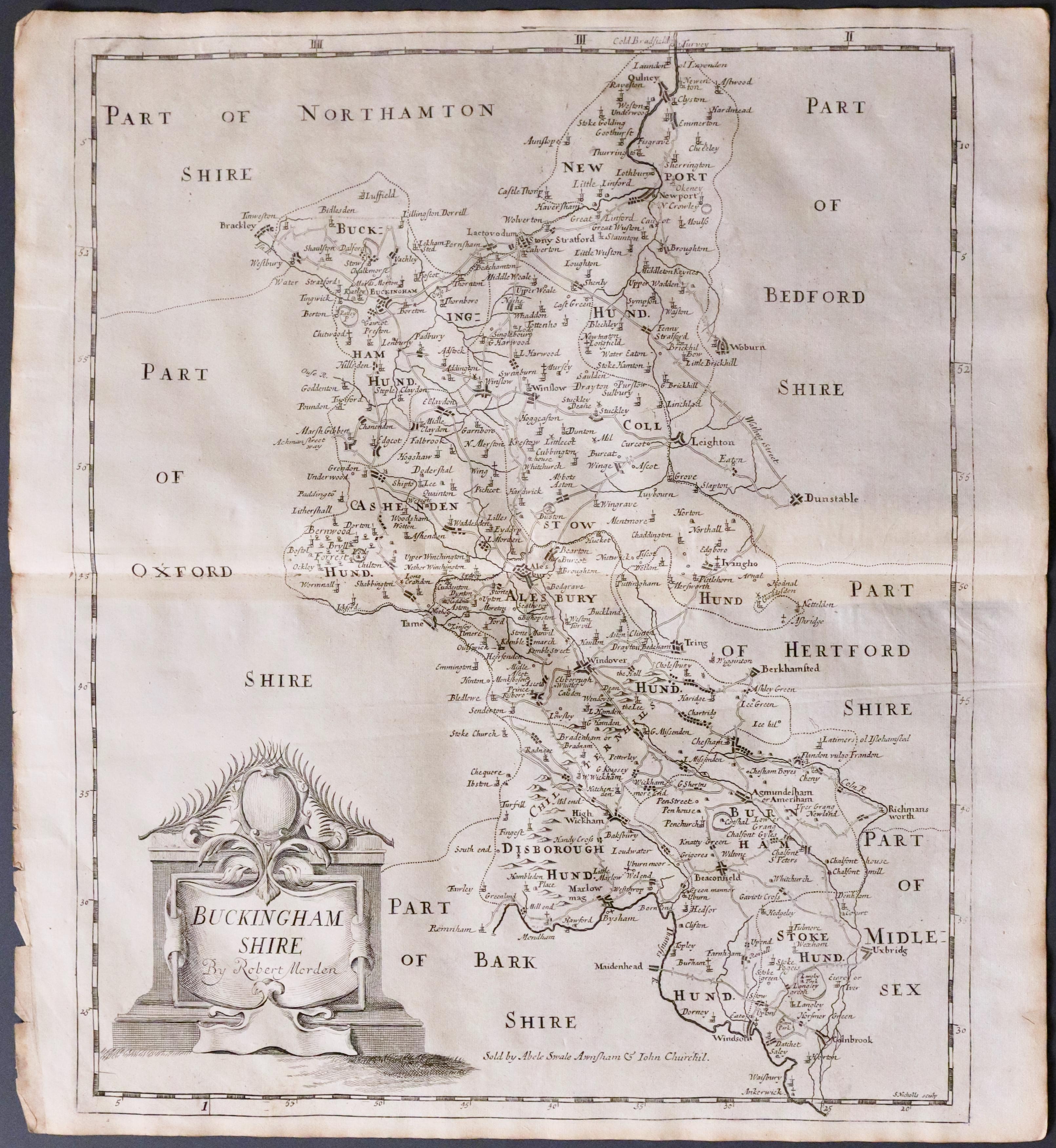
Antique Maps of Buckinghamshire
Richard Nicholson of Chester
A World of Antique Maps and Prints
Established in 1961
All the Maps on this page are guaranteed to be genuine early specimens
published in or around the year stated
19th Century - Early Hand Colouring
-
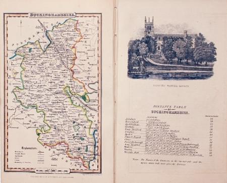
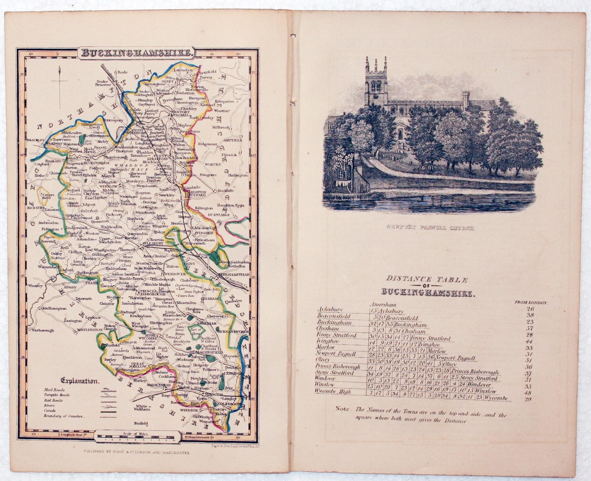
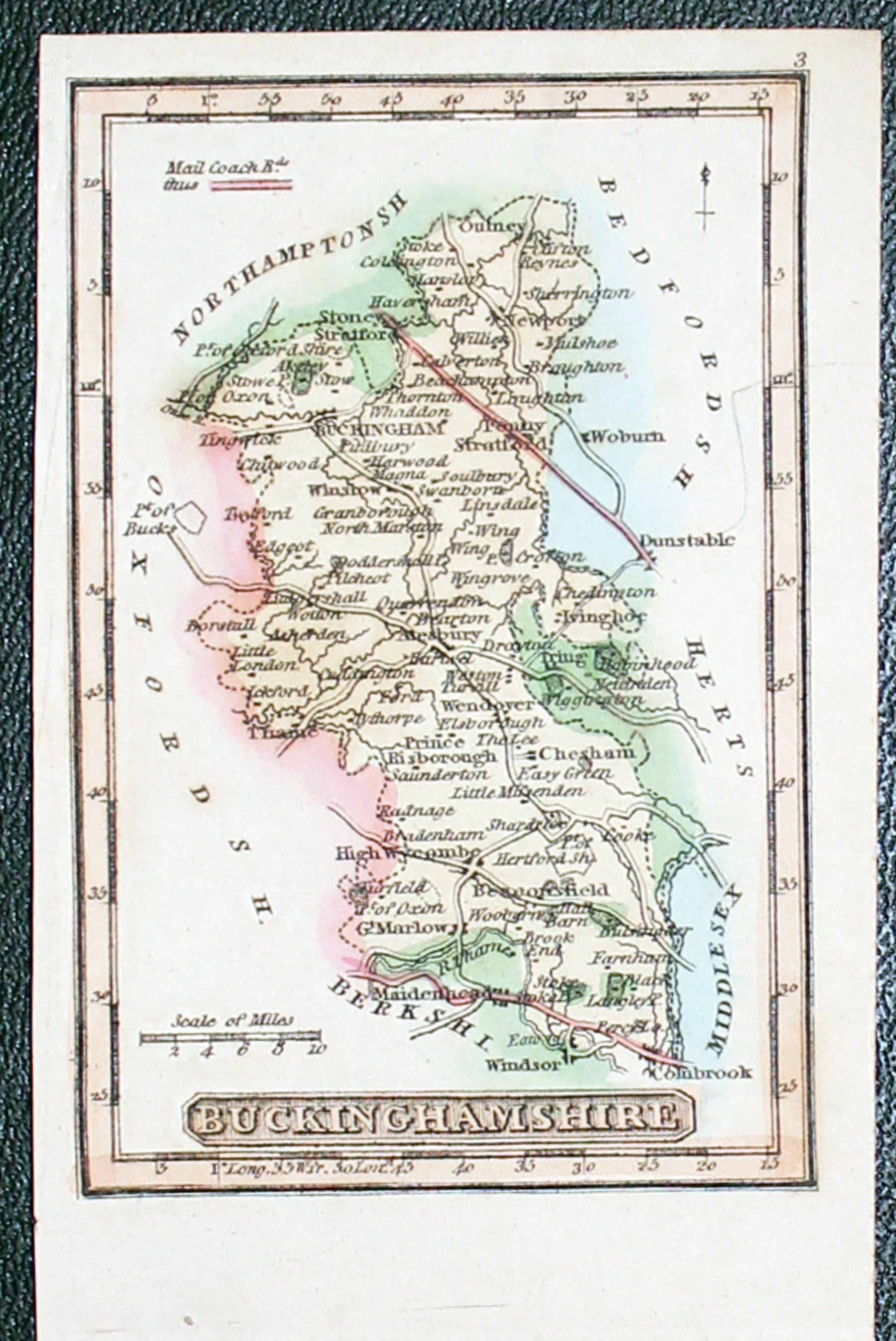
Buckinghamshire, James Pigot, c.1835
24974 Buckinghamshire, James Pigot, c.1835. Price: 34.00
BUCKINGHAMSHIRE
An engraved county map of Buckinghamshire with early outline hand colouring. 4 x 6 1/2 inches. Still lightly bound on edges with the Distance Table page on which there is an uncoloured vignette view of Newport Pagnell Church plus pages of descriptive text. Good condition.
From: A Pocket Topography and Gazetteer of England

19th Century
-
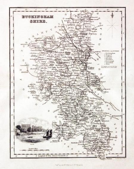
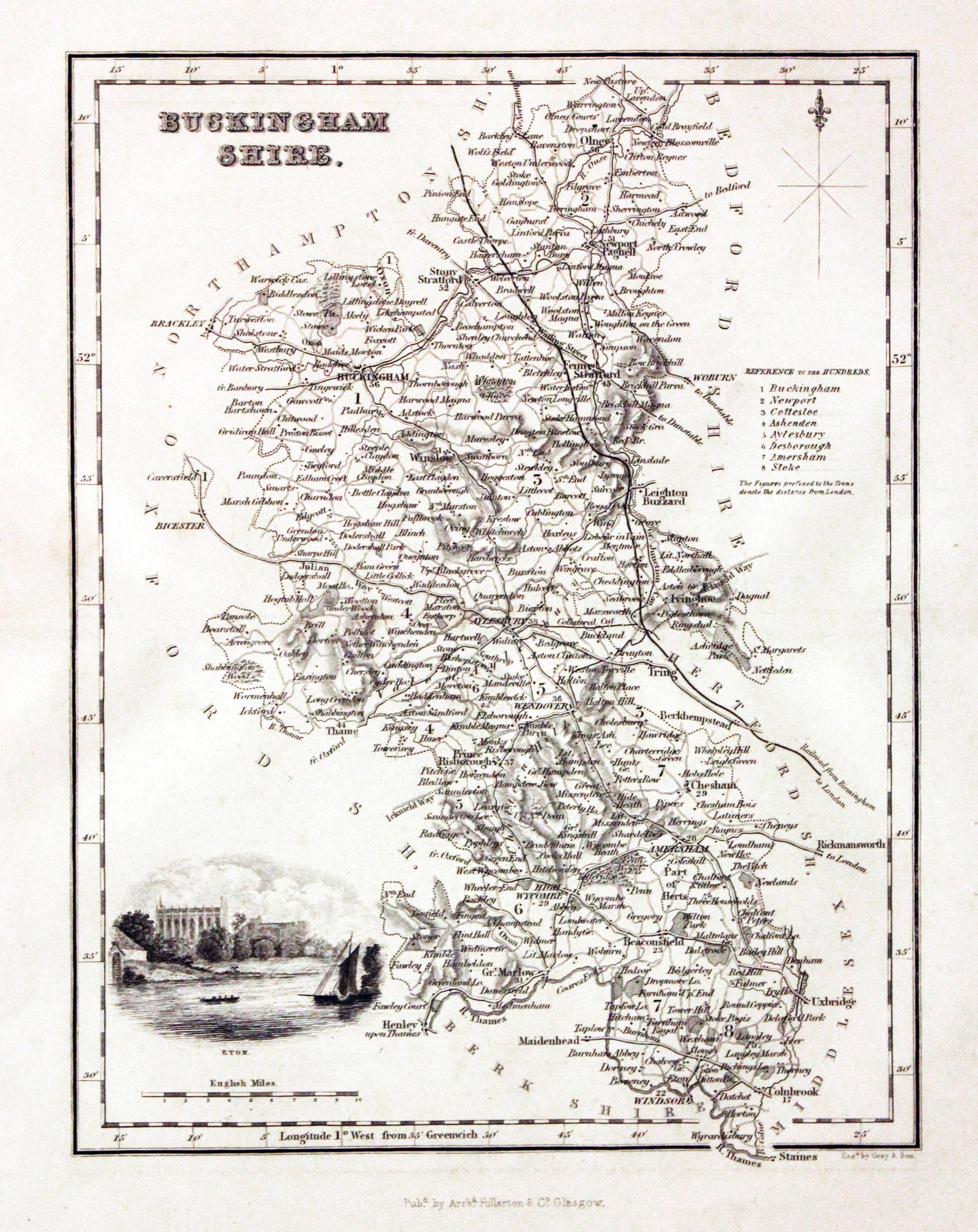
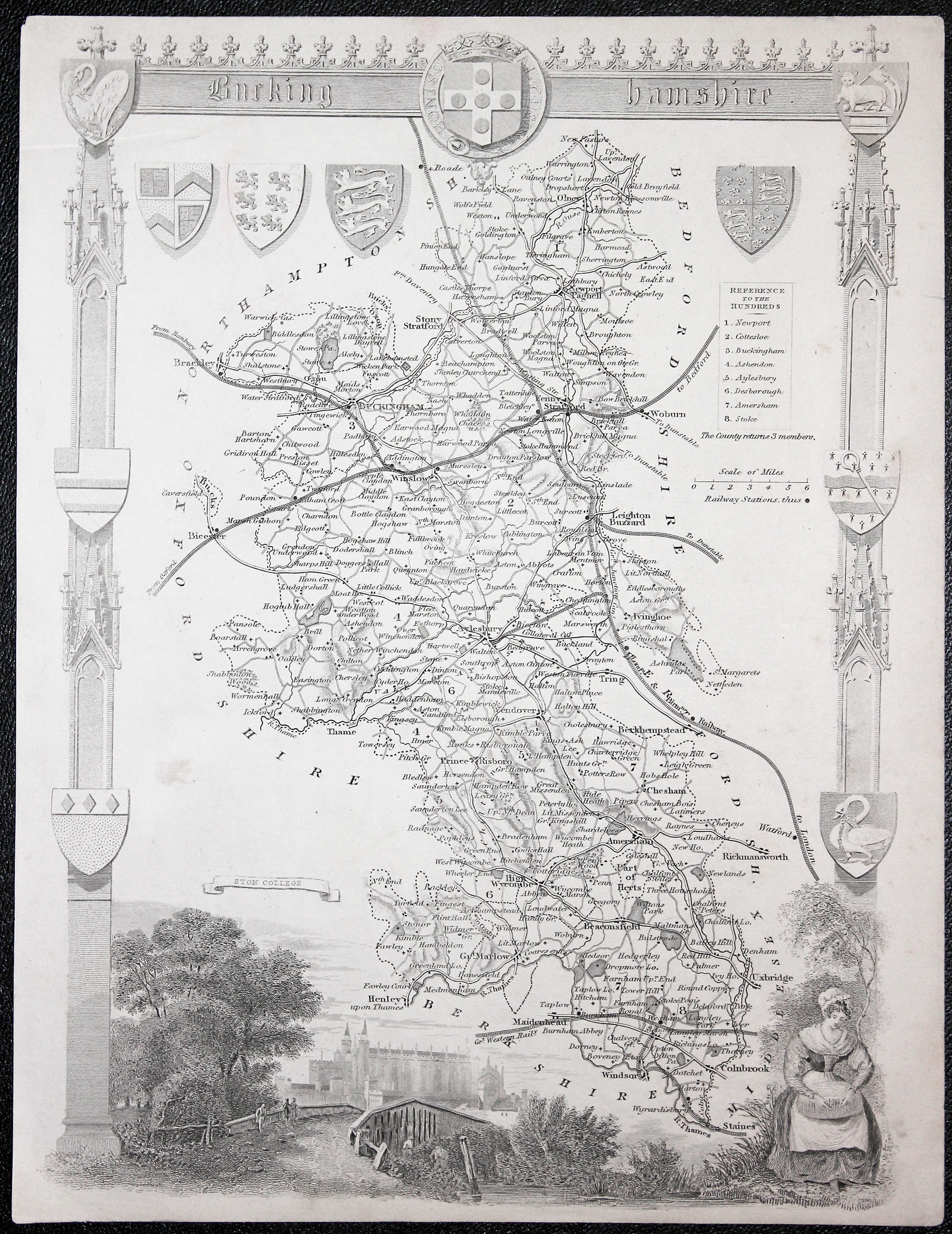
Buckinghamshire, Archibald Fullarton, c.1840
29532 Buckinghamshire, Archibald Fullarton, c.1840. Price: 31.00
BUCKINGHAMSHIRE
A detailed engraved map of the county embellished with a vignette view of Eton. Scale, compass rose and list of hundreds. 7 1/4 x 9 1/2 inches. Uncoloured. Good condition.
From: The Parliamentary Gazetteer

19th Century - Early Hand Colouring
-

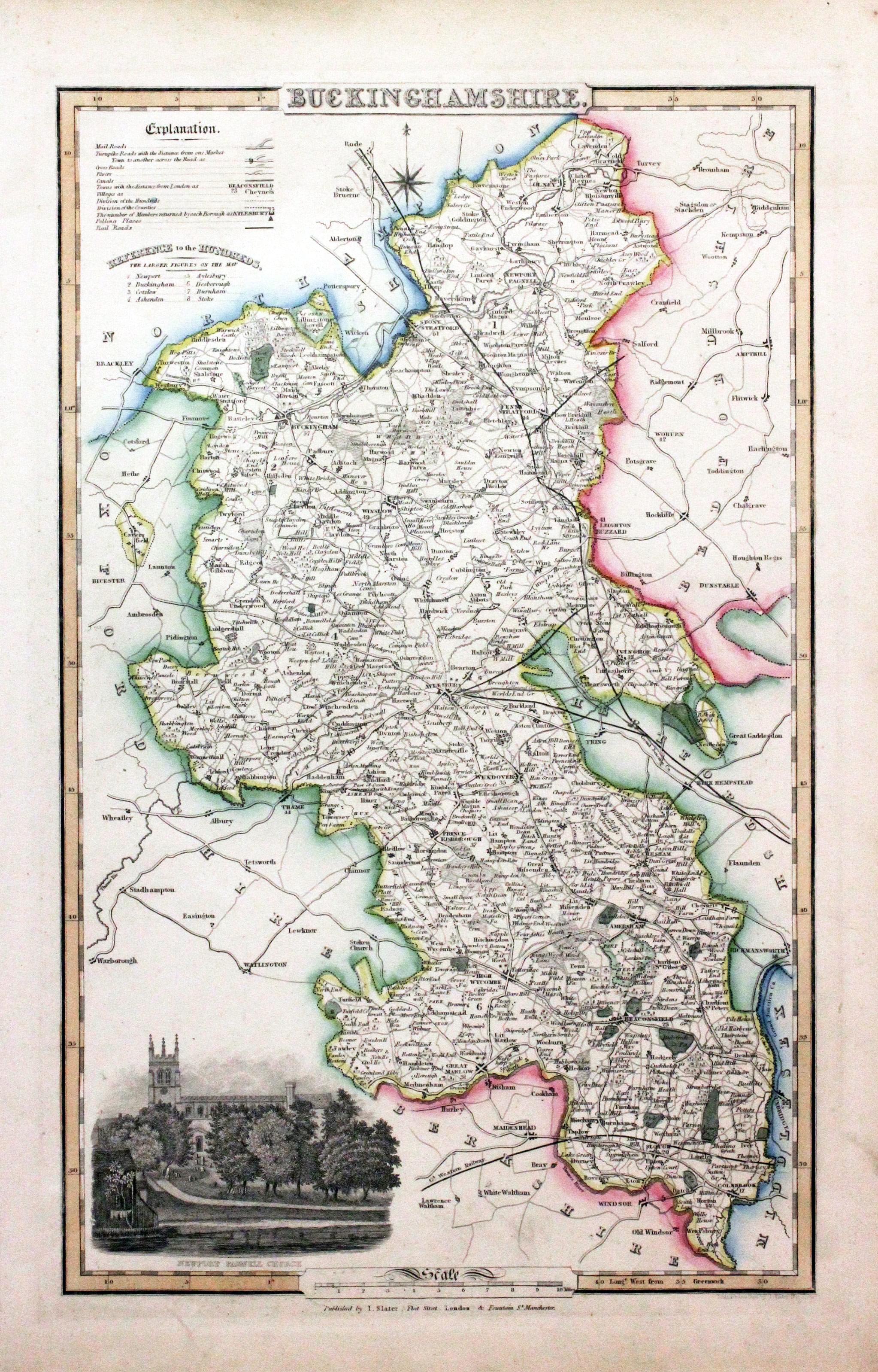
Buckinghamshire, James Pigot / Isaac Slater, c.1857
30768 Buckinghamshire, James Pigot / Isaac Slater, c.1857. Price: 68.00
BUCKINGHAMSHIRE
An engraved map of the county map f Buckinghamshire with title, scale, explanation and list of hundreds. Embellished with an uncoloured view of Newport Pagnell Church. 8 3/4 x 14 inches. Original outline hand colouring. On stout paper. Good undamaged condition.
From: Isaac Slater’s New British Atlas

Late 19th Century
-
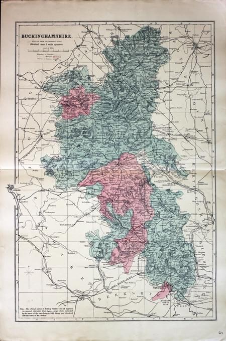
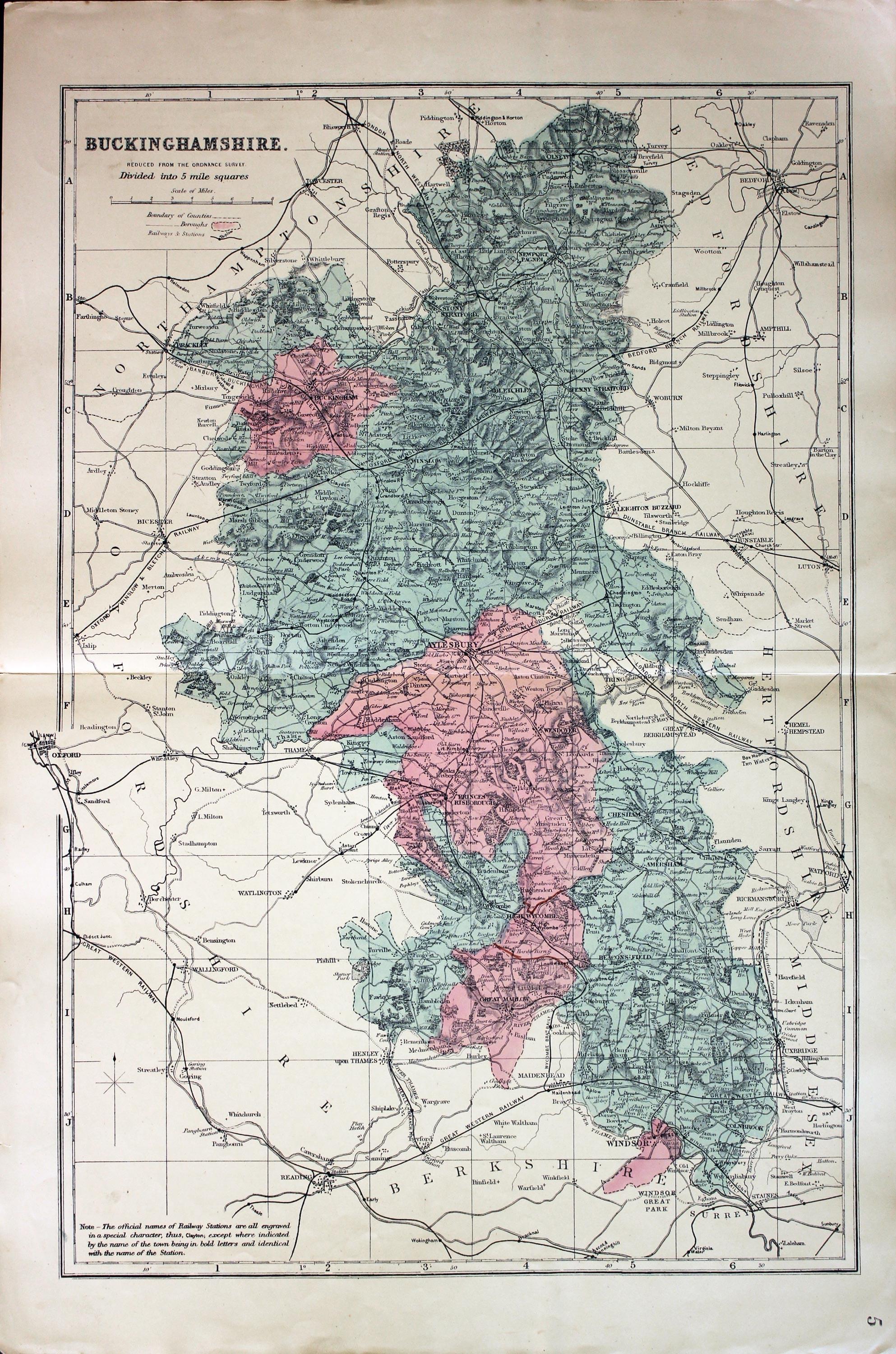
Buckinghamshire, George Washington Bacon c.1896
31257 Buckinghamshire, George Washington Bacon, c.1896. Price: 19.00
BUCKINGHAMSHIRE REDUCED FROM THE ORDNANCE SURVEY. DIVIDED INTO 5 MILE SQUARES
A good detailed late 19th century colour printed map of county. Shows the railways. 12 x 18 inches. Good condition.

18th Century - First Edition
-
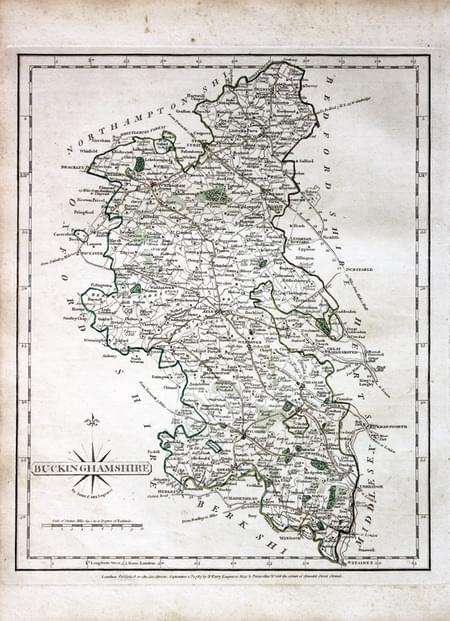
Buckinghamshire, John Cary 1787

31273 Buckinghamshire, John Cary 1787. Price: 54.00
BUCKINGHAMSHIRE.
The FIRST EDITION of this well engraved detailed map of the county with title panel and compass rose combined. Scale. Imprint of John Cary dated 1787. Original outline hand colouring. Good condition. With this map is the original page of descriptive text.
From: Cary's New and Correct English Atlas
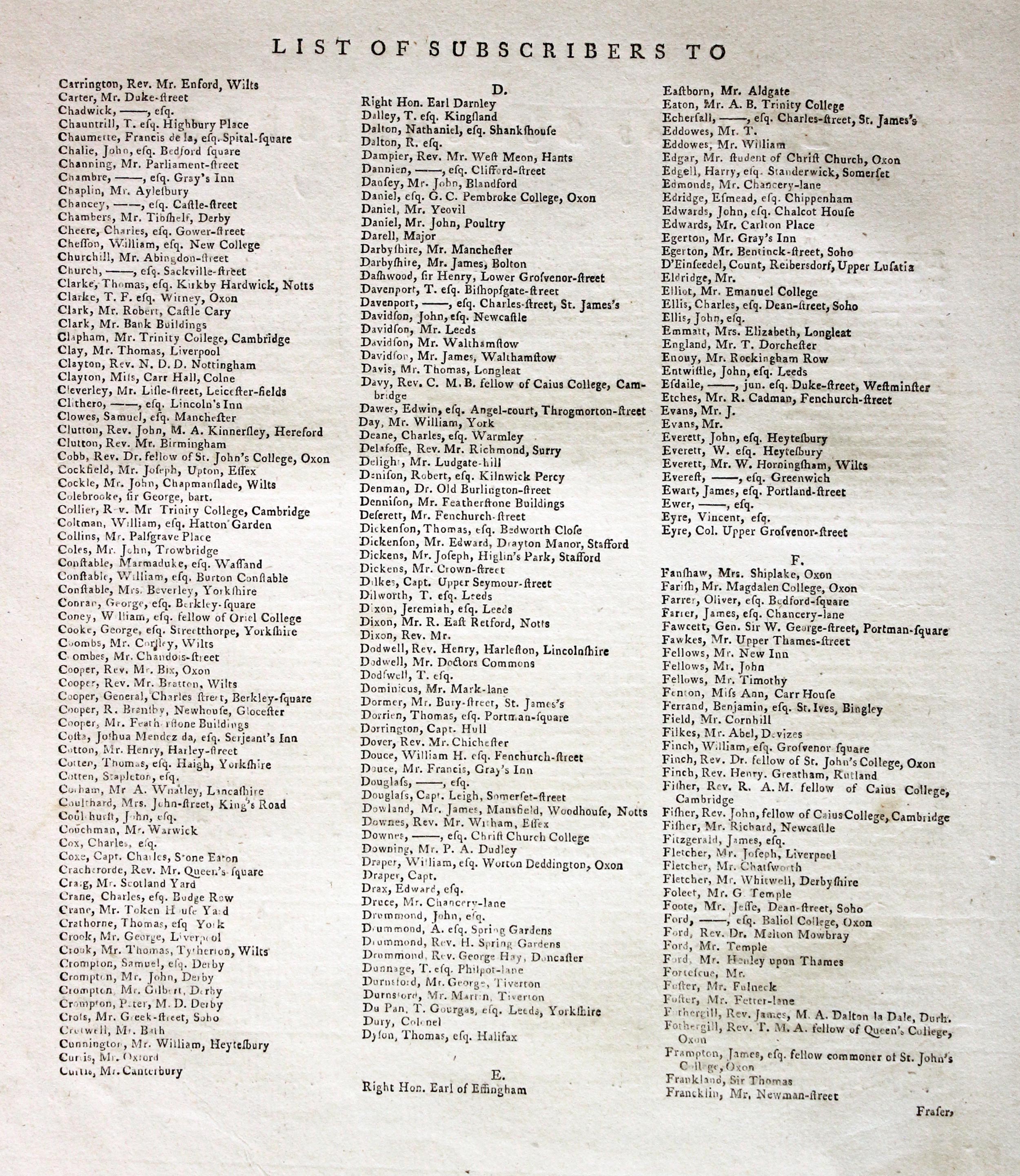
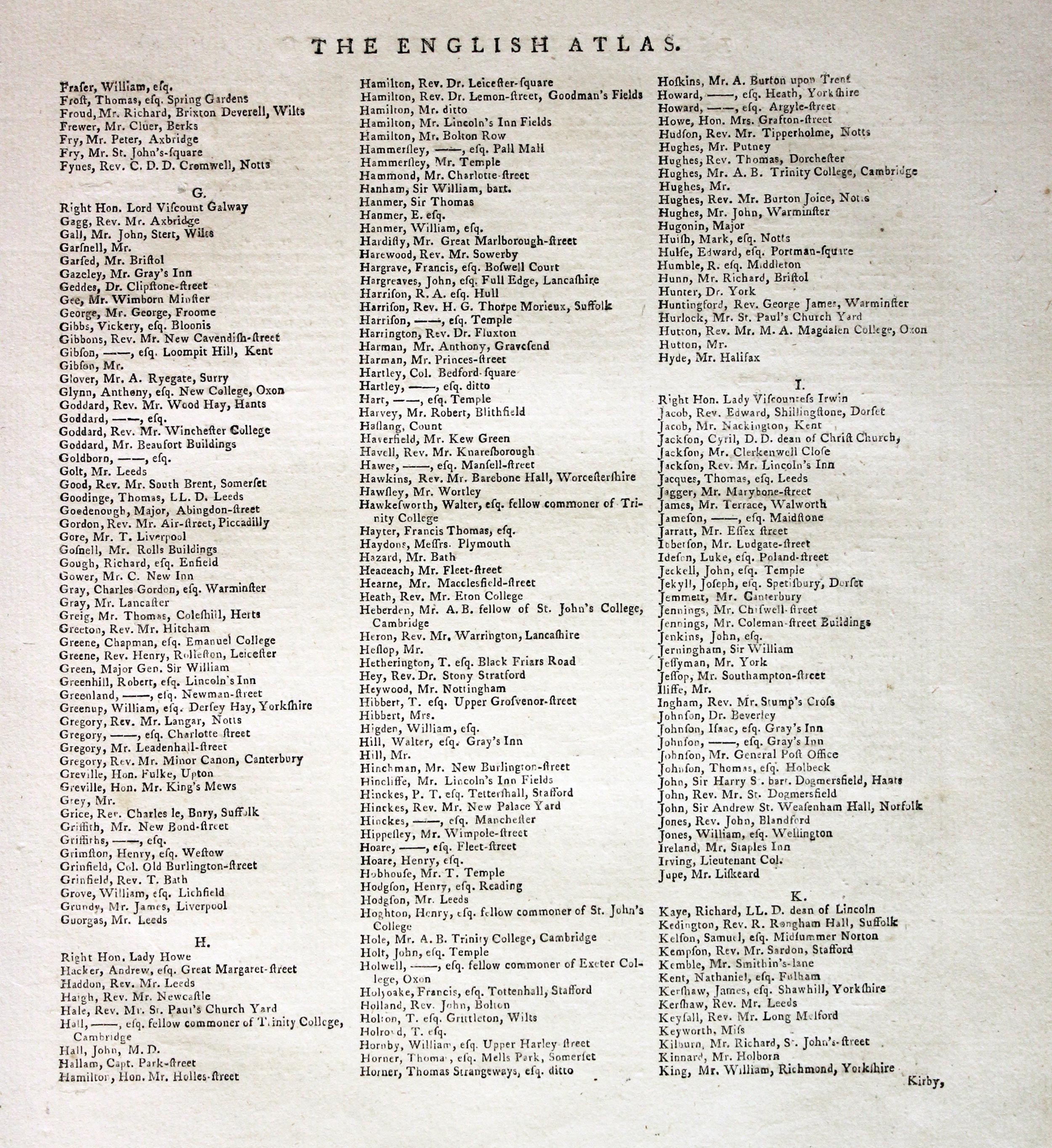
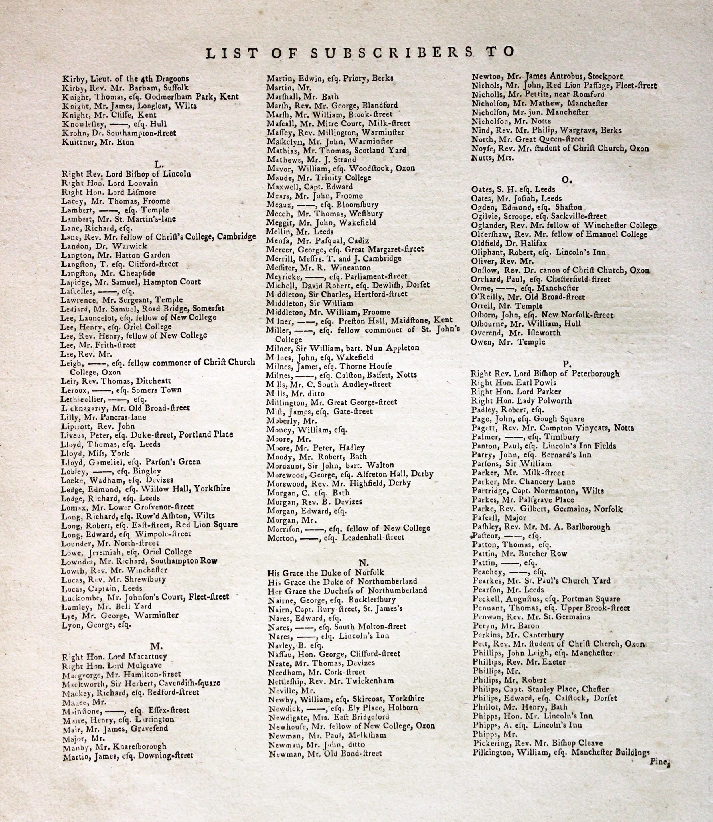
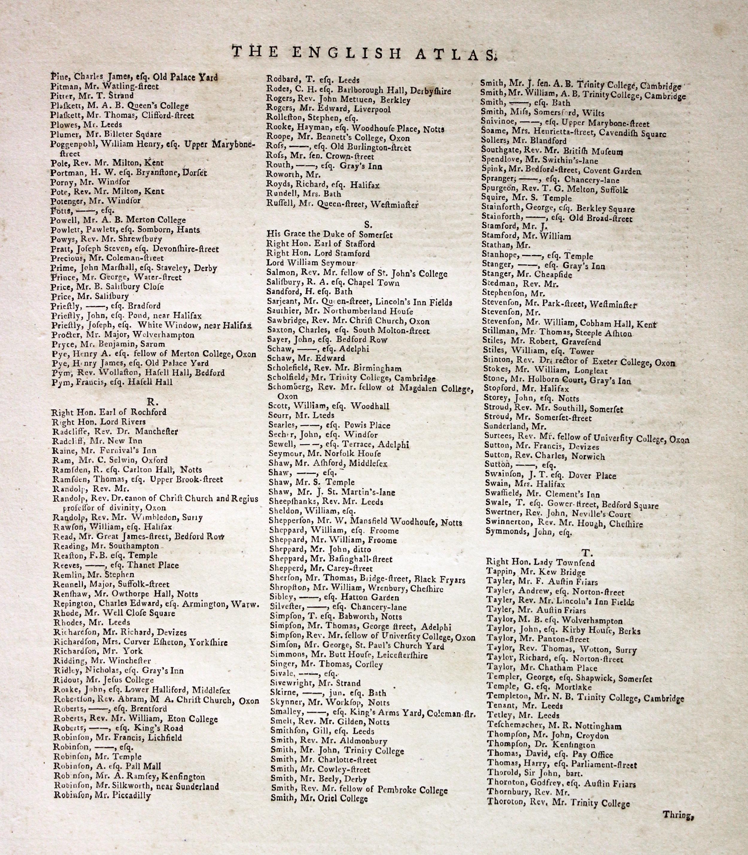
Subcribers to the First Edition
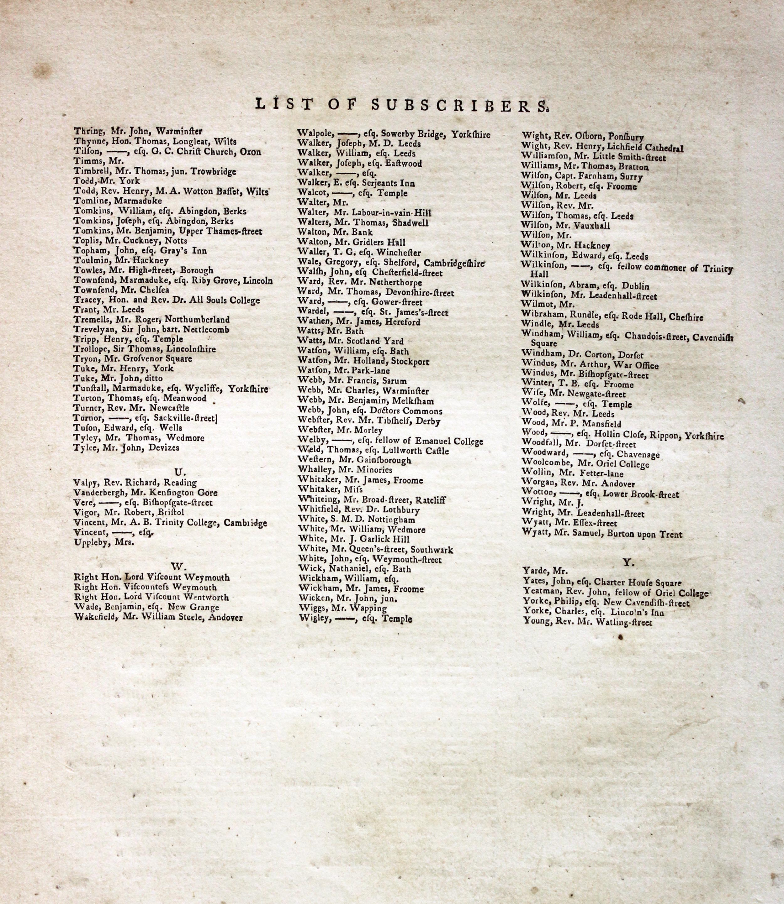
If you are thinking of buying this map you may be interested to see this list of the original subscribers to Cary's New and Correct English Atlas first published in 1787. It makes interesting reading and might even include one of your relatives.
-
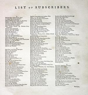
New and Correct English Atlas Subscribers
-

New and Correct English Atlas Subscribers
-
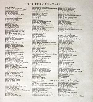
New and Correct English Atlas Subscribers
-
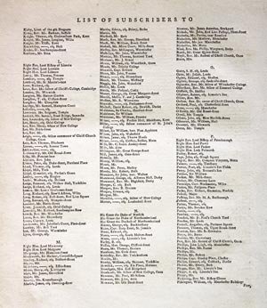
New and Correct English Atlas Subscribers
-
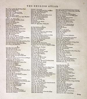
New and Correct English Atlas Subscribers
-
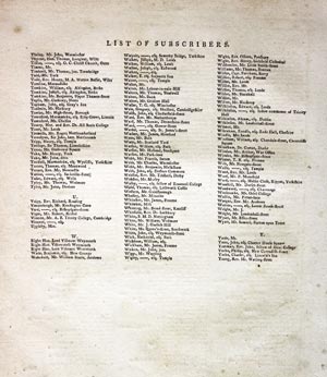
New and Correct English Atlas Subscribers
Early 19th Century - Early Hand Colouring
-
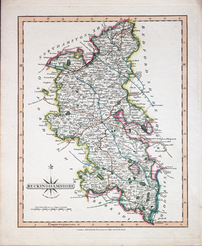
Buckinghamshire, John Cary c.1820
32046 Buckinghamshire John Cary, c.1809. Price: 50.00
BUCKINGHAMSHIRE
A good engraved map of the county. Title panel with compass rose. Publisher’s imprint beneath at No. 181 Strand. 8 1/4 x 10 1/4 inches. Attractive original outline and wash hand colouring. Good condition.
From: Cary's New and Correct English Atlas

19th Century - Early Hand Colouring
-

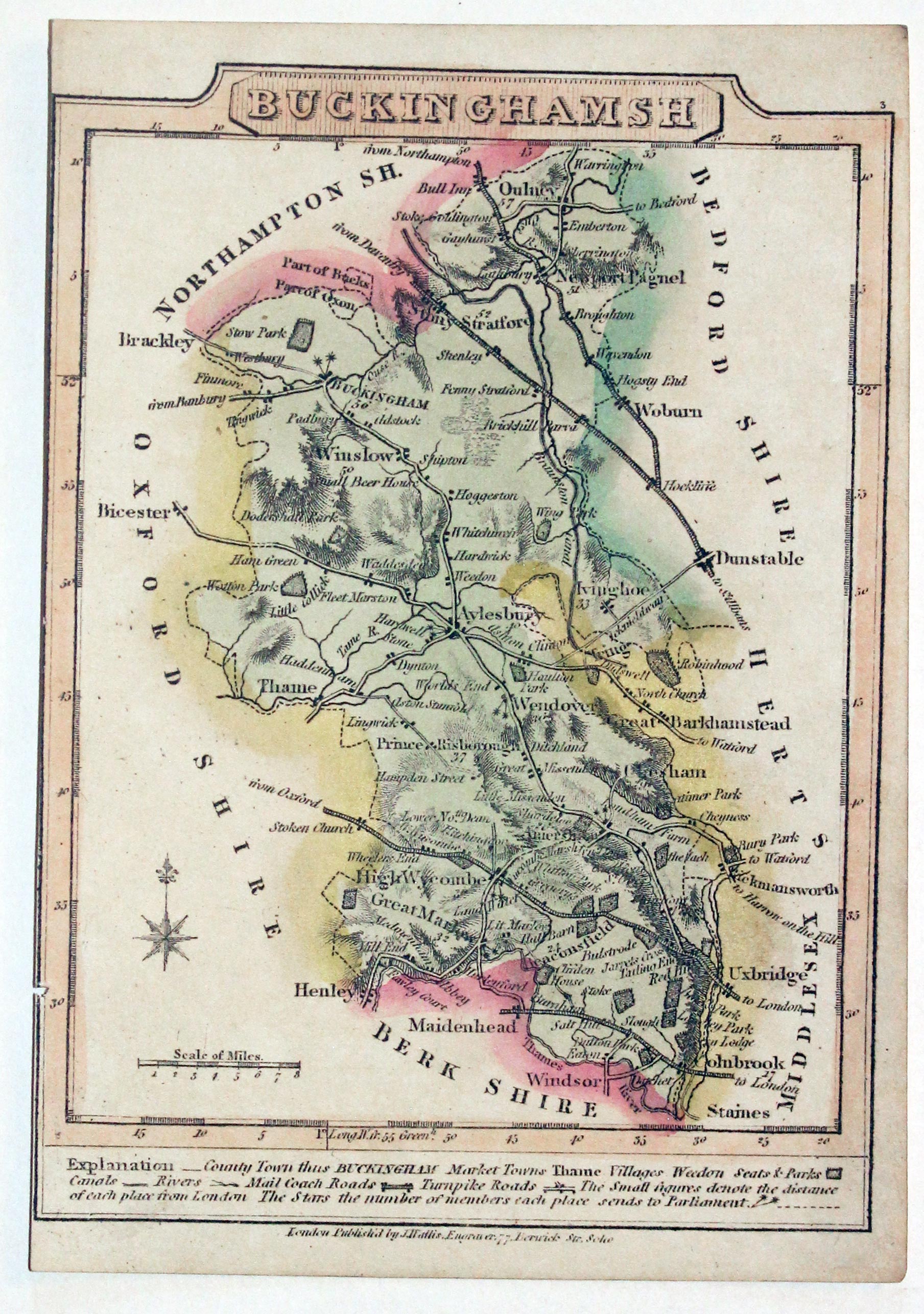
Buckinghamshire, Wallis / Oddy 1819
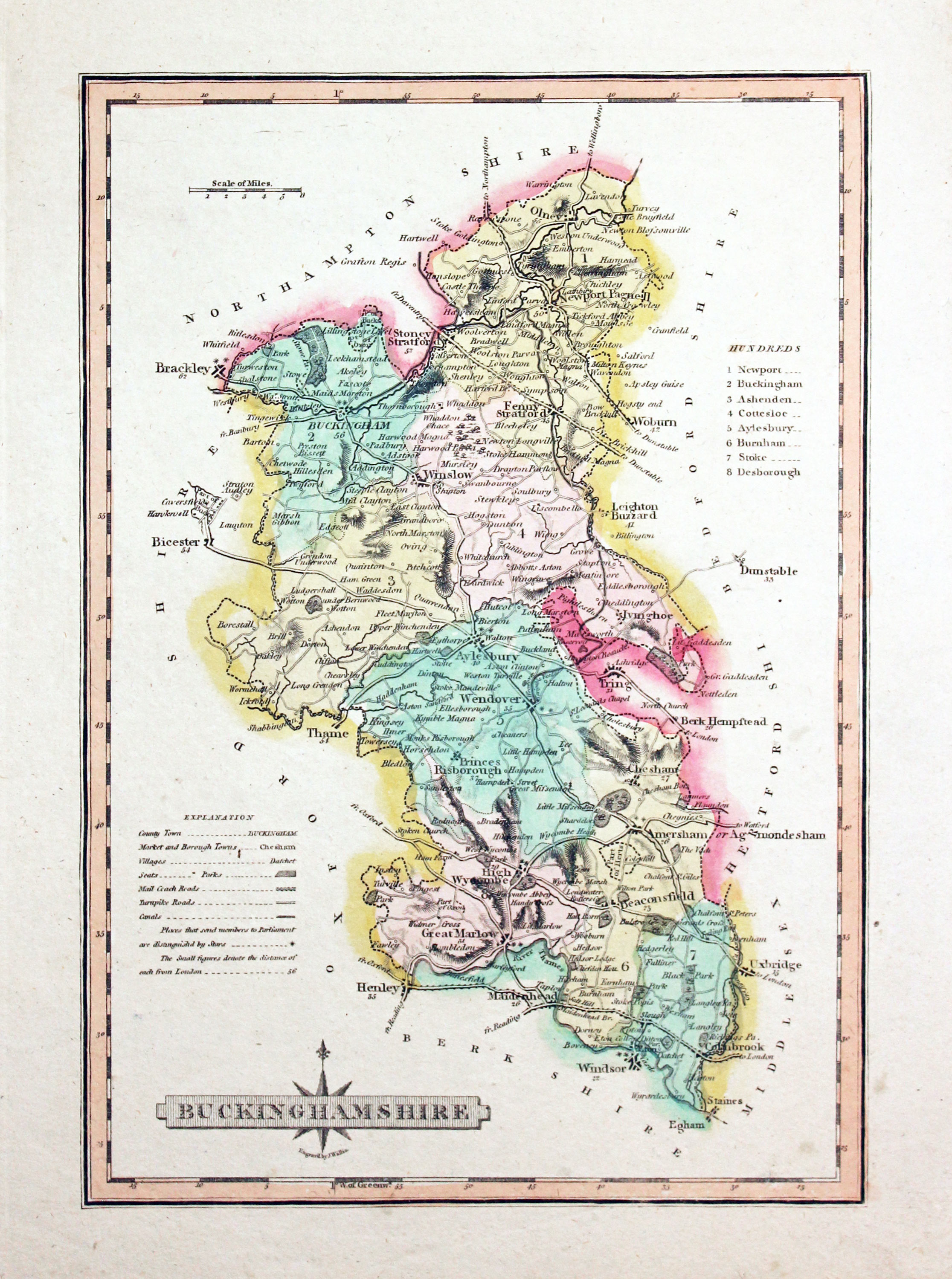
32061 Buckinghamshire James Wallis / S. A. Oddy 1819. Price: 28.00
BUCKINGHAMSHIRE
An engraved map of the county with explanation and list of hundreds. Title panel with compass rose. Underneath is the name of the engraver James Wallis. 7 x 10 1/4 inches. Original outline and wash hand colouring. Good condition.
From: A New and Improved County Atlas

Early 19th Century - Early Hand Colouring
-

Buckinghamshire Benjamin Pitts Capper 1808
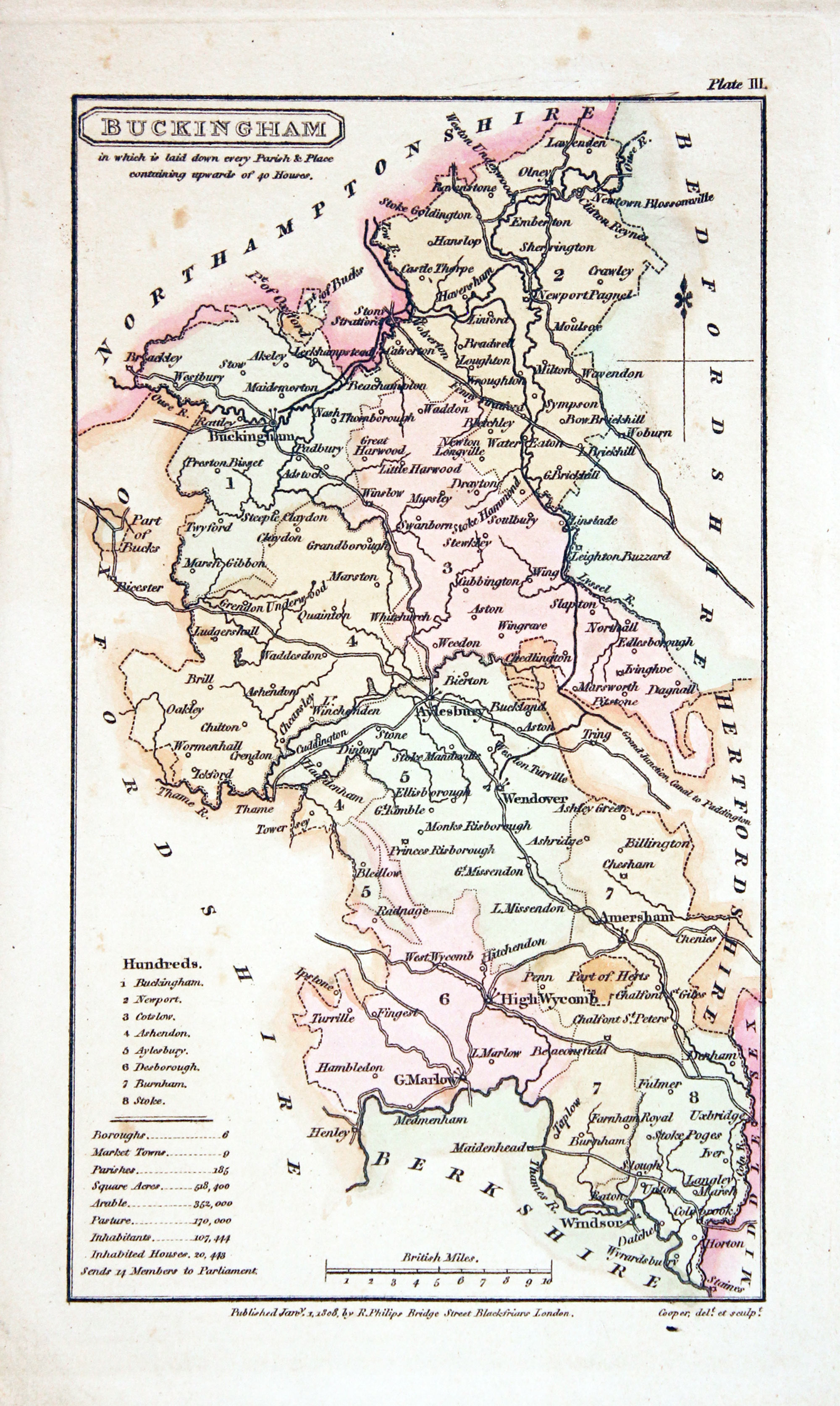
32073 Buckinghamshire, Benjamin Pitts Capper 1808. Price: 24.00
BUCKINGHAMSHIRE
An engraved map of the county with list of hundreds and explanation. Scale. Beneath the map is the imprint of the publisher Sir Richard Phillips dated 1808. 4 x 7 inches. Original hand colouring. Good condition.
From: A Topographical Dictionary of the United Kingdom

18th Century - Early Hand Colouring
-
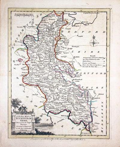
Buckinghamshire, John Ellis, c.1768
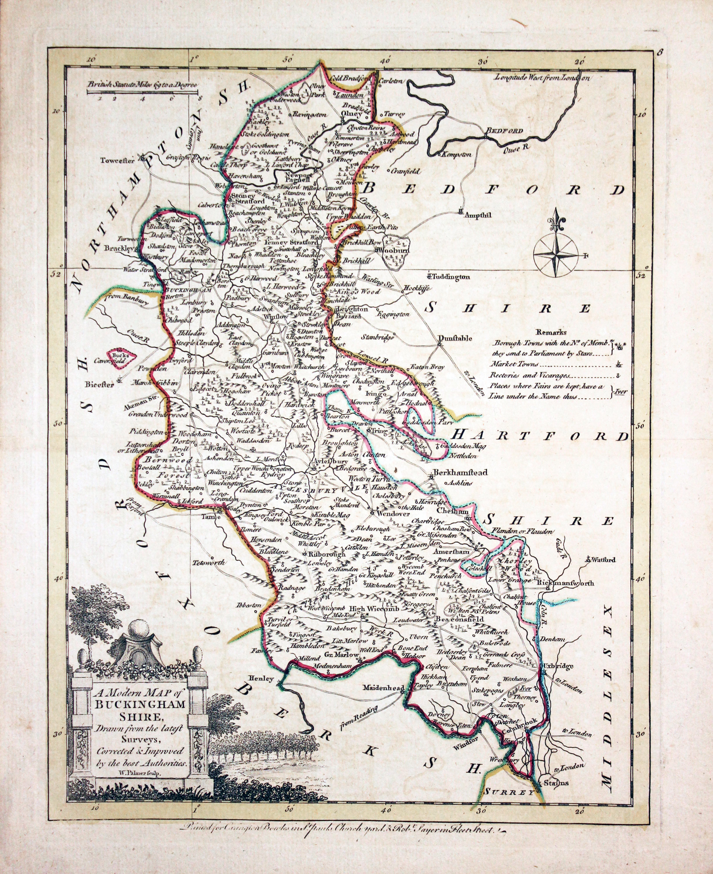
32080 Buckinghamshire, Joseph Ellis, c.1768. Price: 52.00
A MODERN MAP OF BUCKINGHAM SHIRE, Drawn from the latest Surveys, Corrected & Improved by the best Authorities W. Palmer sculpt.
An engraved county map embellished with a pictorial title cartouche. Compass rose, scale and remarks. Imprint of Carington Bowles in St. Pauls Church yard and Robert Sayer in Fleet Street. 7 1/2 x 9 3/4 inches. Original outline hand colouring. Original centre fold. Good condition.
From Ellis's English Atlas

19th Century - Early Hand Colouring
-
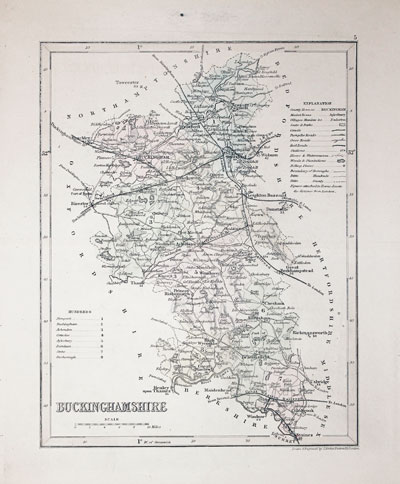
Buckinghamshire Josua Archer c.1845
32081 Buckinghamshire, Joshua Archer, c.1845. Price: 18.00
BUCKINGHAMSHIRE
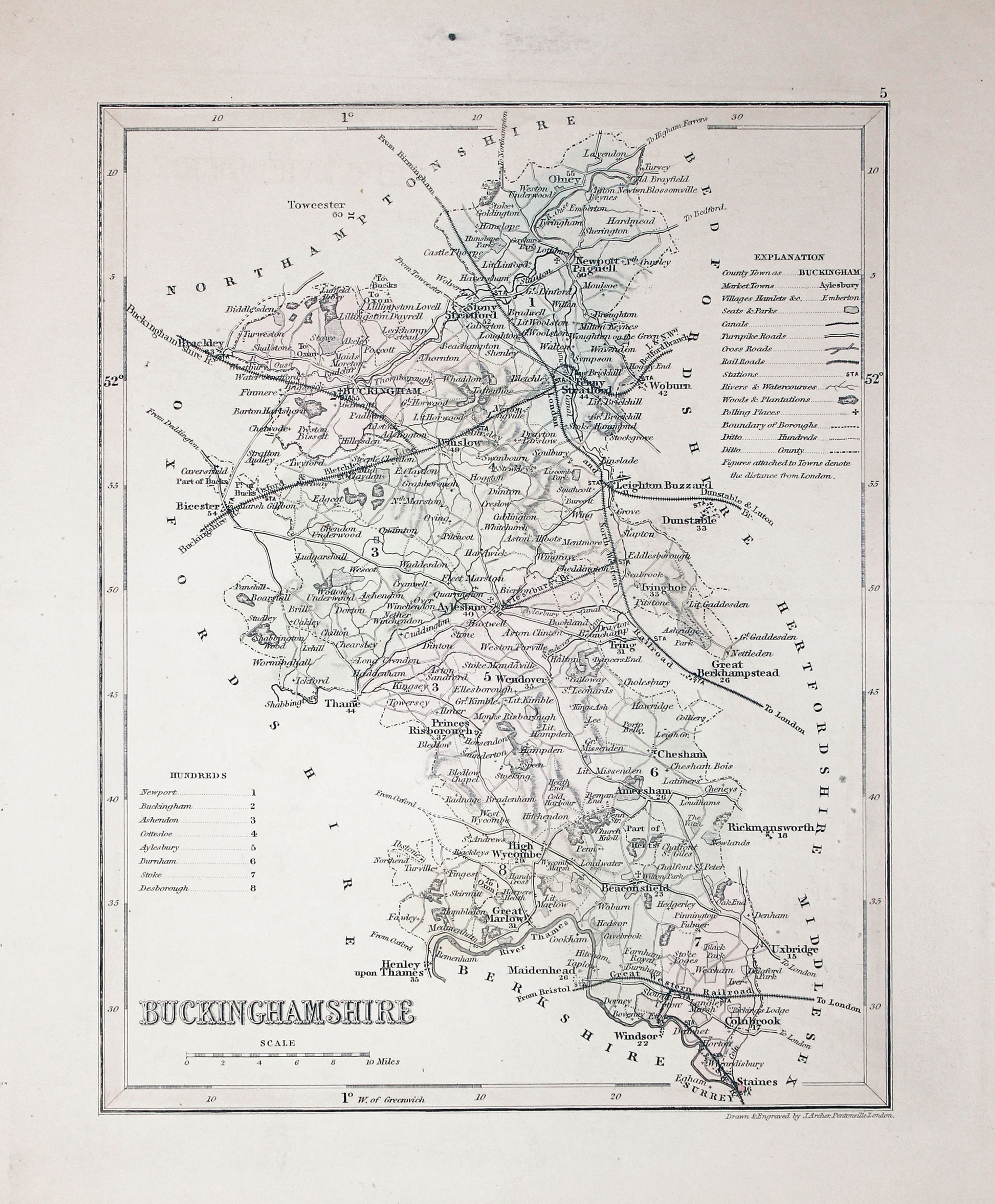
A detailed engraved map of the county with explanation, scale and list of hundreds. 7 x 9 inches. Original wash hand colouring. Original centre fold. Small black spot in top blank margin otherwise good condition.
From: Dugdales England and Wales Delineated

19th Century - Early Hand Colouring
-
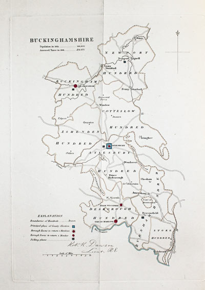
Buckinghamshire, Lt. Robert K.Dawson 1832
32082 Buckinghamshire, Lt. Robert K.Dawson 1832. Price: 24.00
BUCKINGHAMSHIRE
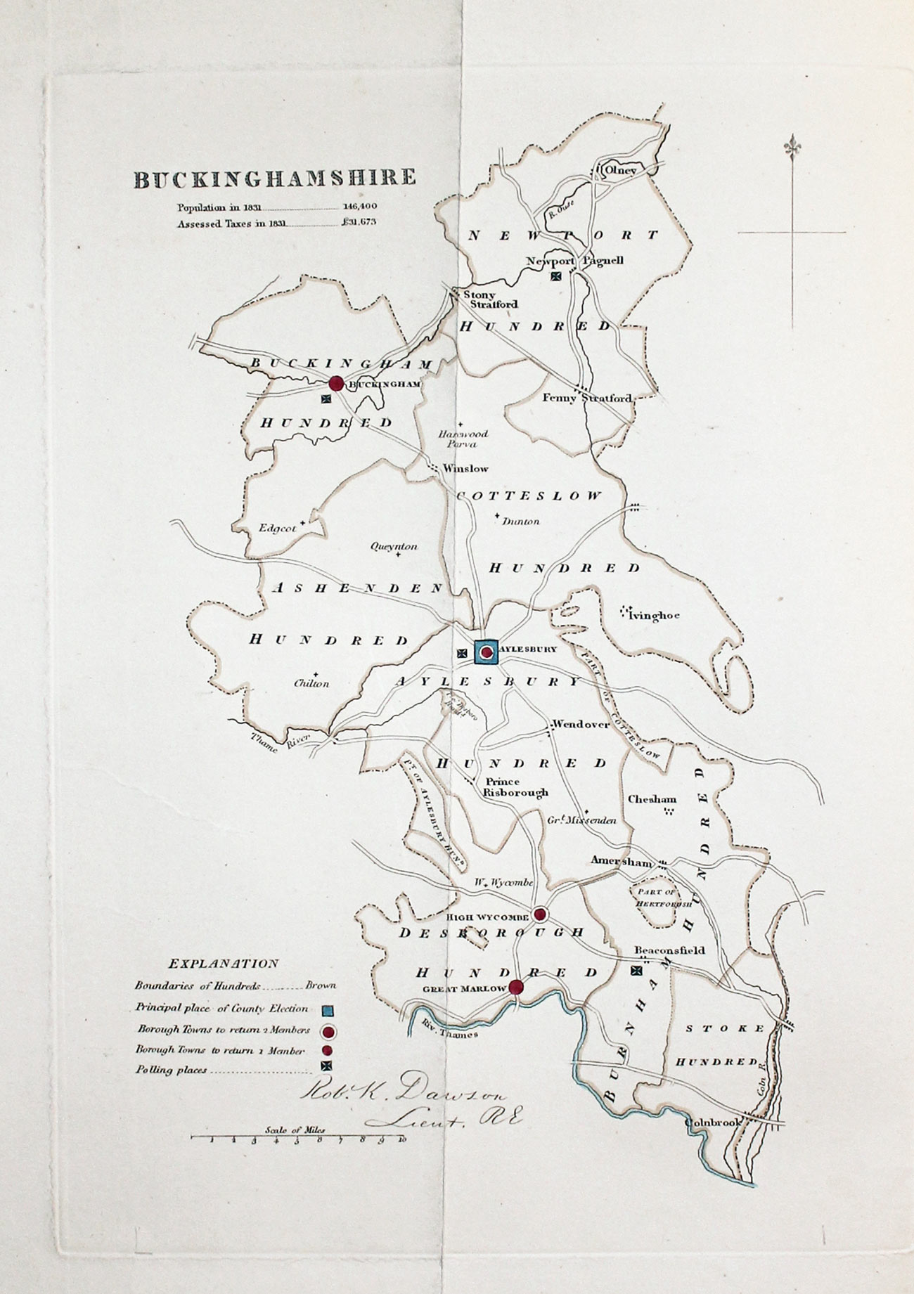
A simple map of the county showing Aylesbury as the principal place of the County Election and shows the towns that return members. Shows the population in 1831 as 146,400 and the assessed taxes in the same year as £31,673. Explanation and scale. Abut 7 x 10 inches. Original hand colouring. Good condition. From Plans of the Cities and Boroughs of England and Walesption

19th Century - Early Hand Colouring
-

Buckinghamshire George Cole and John Roper, 1810
32088 Buckinghamshire George Cole and John Roper, 1810. Price: 40.00
BUCKINGHAMSHIRE
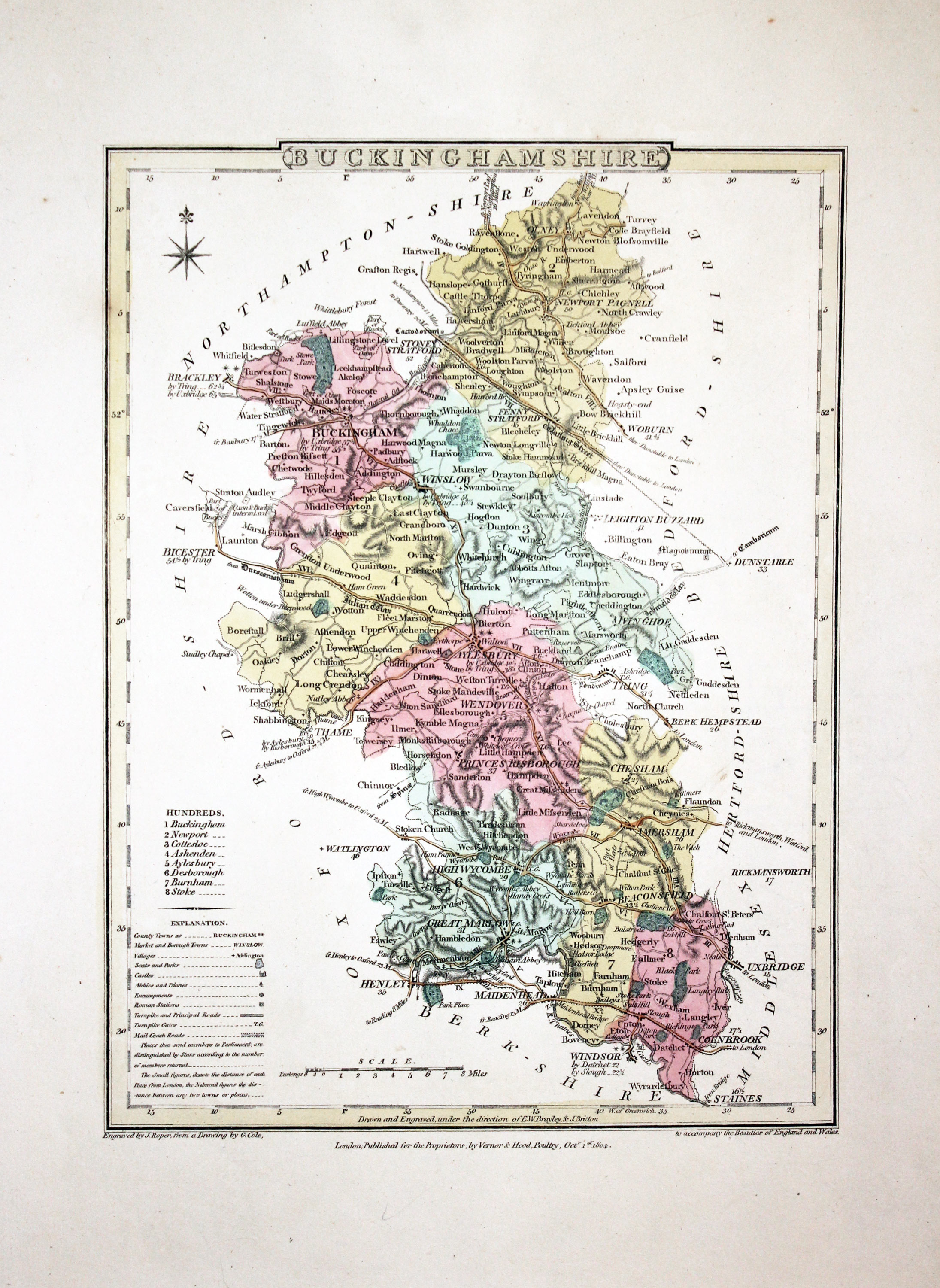
A good detailed engraved map of the county divided into hundreds. Bears the publishers imprint dated of 1804. Explanation. 7 x 9 1/4 inches. Original wash and outline hand colouring. Good wide blank margins. Good condition. From The British Atlas

19th Century - Early Hand Colouring
-

Map of Buckinghamshire, Henry George Collins, 1868
32093 Buckinghamshire, Henry George Collins, 1868. Price: 18.50
BUCKINGHAMSHIRE
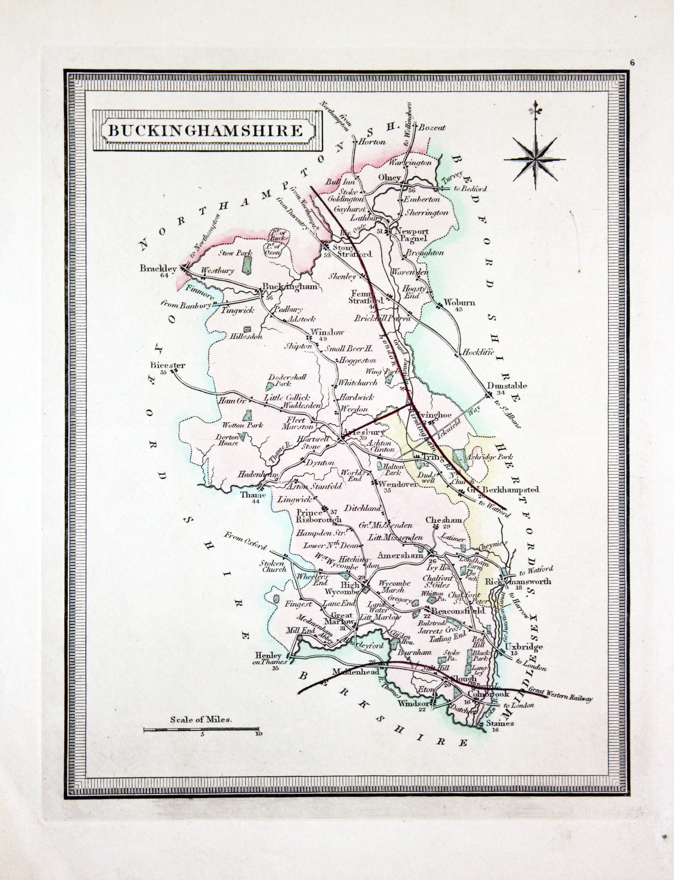
A map of the county within formal frame. Title panel. Scale and compass rose. 6 x 7 1/2 inches. Early hand colouring. Good clean condition.
From: The Travelling Atlas of England published by John Heywood in Manchester

19th Century - Early Hand Colouring
-
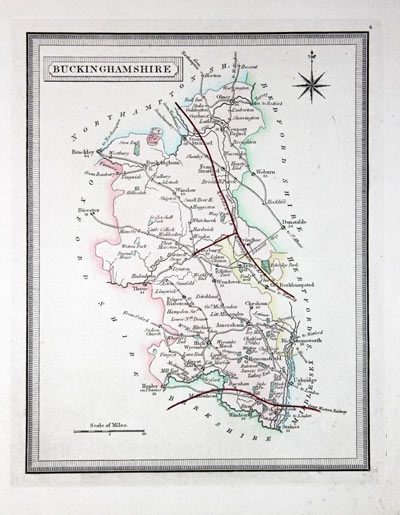
Buckinghamshire, Henry George Collins, 1868
32094 Buckinghamshire, Henry George Collins, 1868. Price: 18.00
BUCKINGHAMSHIRE
A map of the county within formal frame. Title panel. Scale and compass rose. 6 x 7 1/2 inches. Early hand colouring. Good clean condition.
From: The Travelling Atlas of England published by John Heywood in Manchester

19th Century - Early Hand Colouring
-
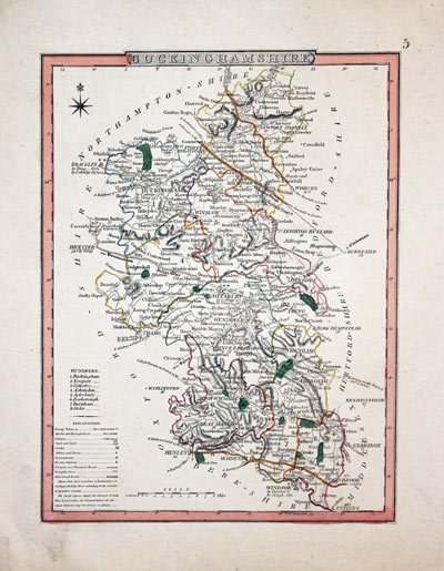
Buckinghamshire Joseph Nightingale 1816
32097 Buckinghamshire, Joseph Nightingale 1816. Price: 35.00
BUCKINGHAMSHIRE
An engraved map of the county divided into hundreds. Explanation and list of hundreds. 6 3/4 x 9 1/4 inches. Original outline hand colouring. Good condition.
From: English Topography or, A Series of Historical and Statistical Descriptions of the Several Counties of England and Wales. Printed for Baldwin, Craddock, and Joy Paternoster-Row 1816

18th Century - Early Hand Colouring
-
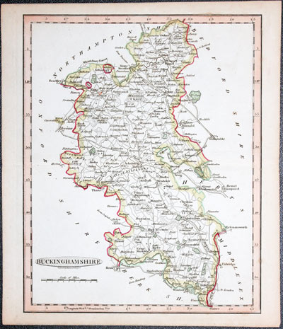
Buckinghamshire Banjamin Baker
32104 Buckinghamshire, Benjamin Baker, c.1792. Price: 29.99
BUCKINGHAMSHIRE
An engraved county map. Oval title panel under which appears the name of the engraved B. Baker, Islington. 7 x 9 inches inches. Original hand colouring. Original centre fold. Good condition.
From: The Universal Magazine of Knowledge and Pleasure

19th Century
-
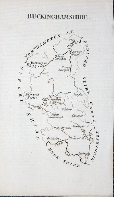
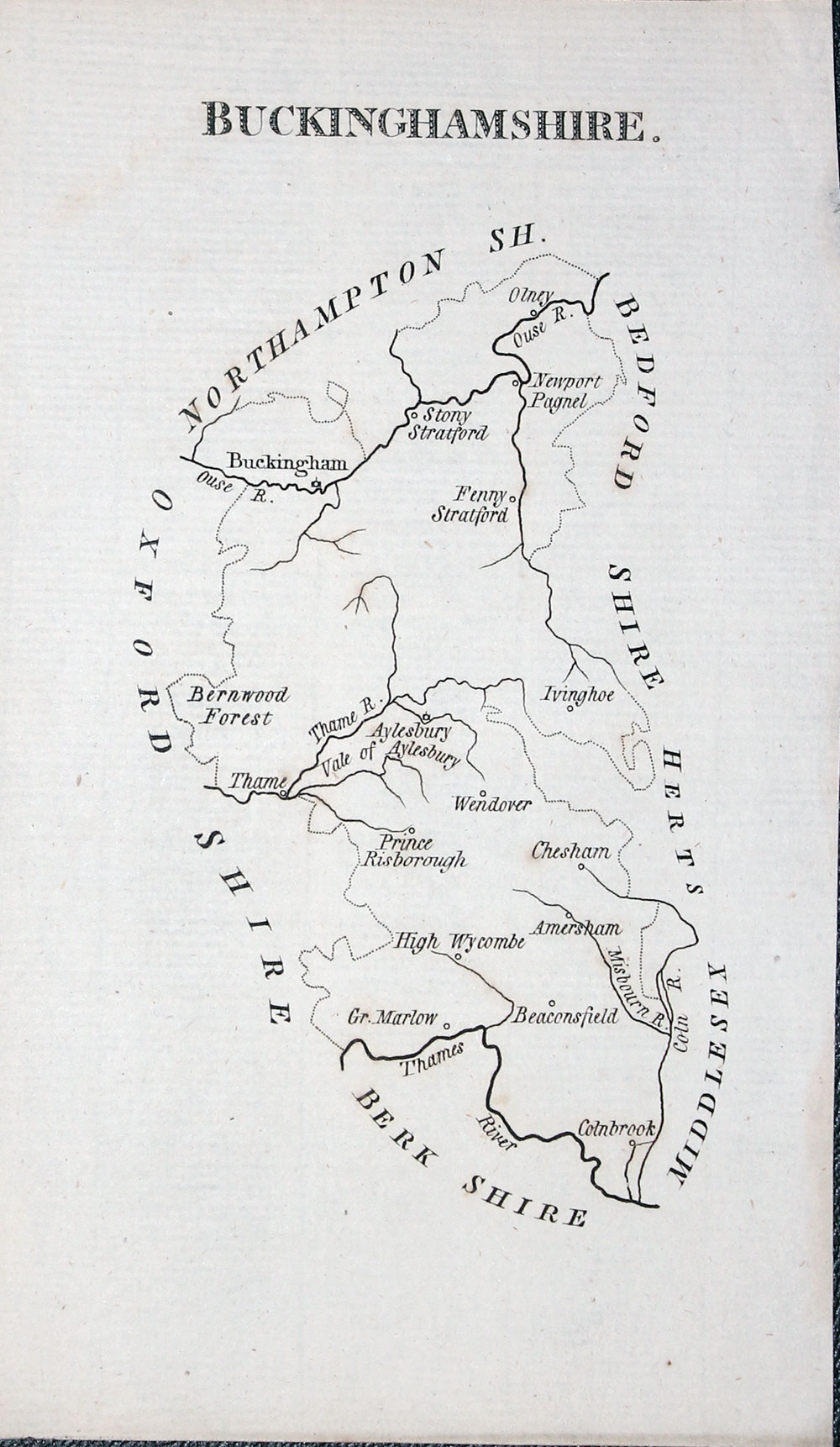
Buckinghamshire John Aiken c.1800
32114 Buckinghamshire, John Aiken, c. 1800. Price: 14.00
BUCKINGHAMSHIRE
A simple engraved map of the county with title. About 3 1/2 x 6 inches. Uncoloured. Good condition.
From: England Delineated
This simplistic series of county maps was intended for school children. They just show towns and rivers. An interesting addition for any collection of county maps.

19th Century - Early Hand Colouring
-
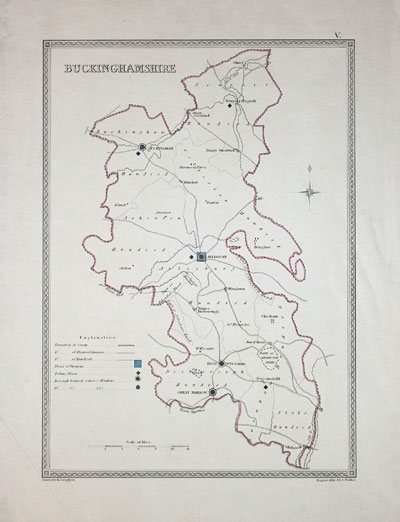
Buckinghamshire Samuel Lewis c.1831
32115 Buckinghamshire, Samuel Lewis c.1831. Price: 18.50
BUCKINGHAMSHIRE
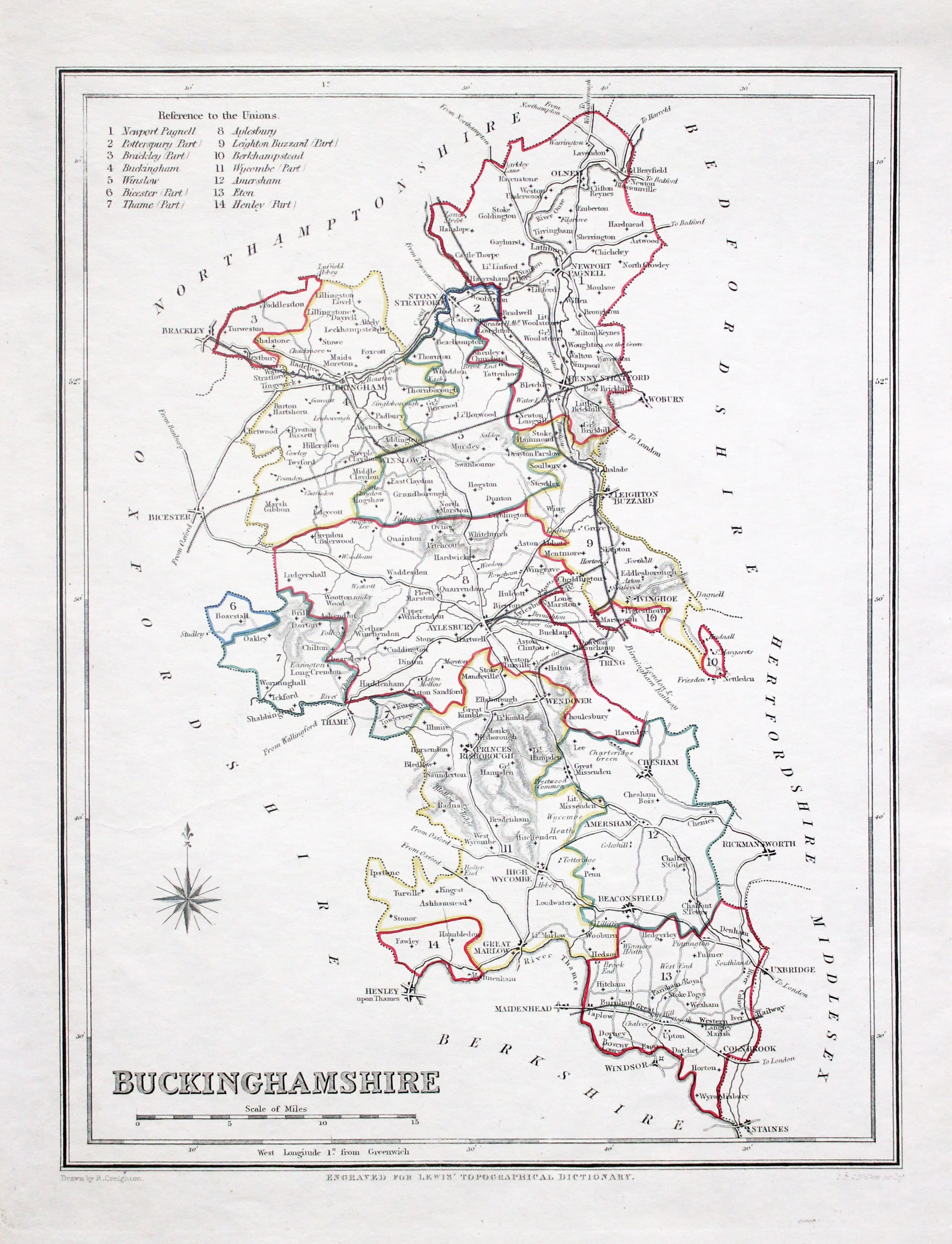
A county map drawn by R. Creighton and engraved by J. & C. Walker. 6 3/4 x 9 inches. Original outline hand colouring. Light crease across the bottom left blank border otherwise good condition.
From: Lewis' Atlas to the Topographical Dictionaries of England and Wales

19th Century - Miniature
-

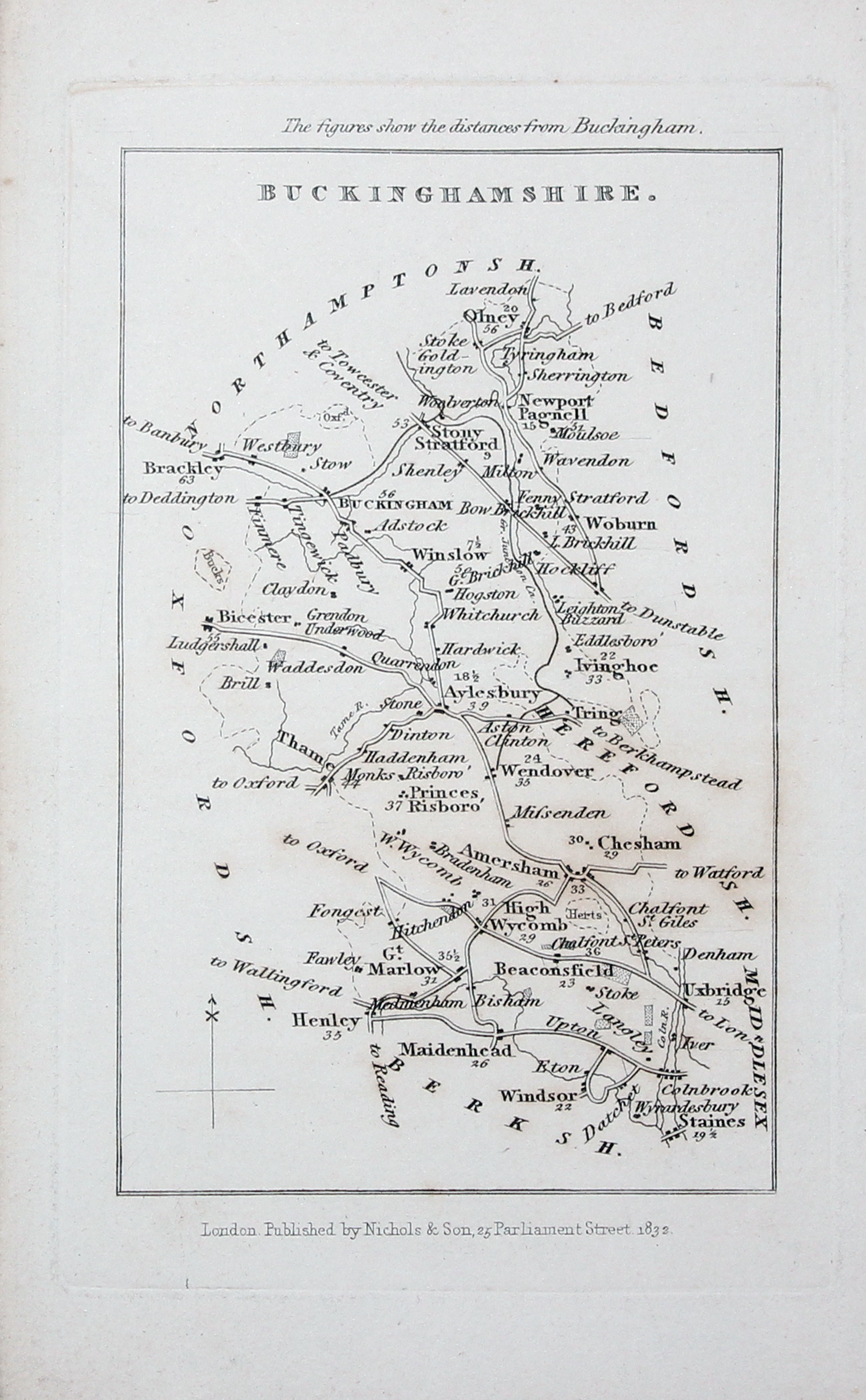
Buckinghamshire Samuel Tynns c.1842
32118 Buckinghamshire, Samuel Tymms, c.1842. Price: 19.00
BUCKINGHAMSHIRE
A small engraved map of the county with distances from Buckingham shown next to many towns. Imprint of the publishers Nichols & Son, 25 Parliament Street dated 1832 below. 3 x 4 3/4 inches. Uncoloured. Good condition.
From Either The Family Topographer or Camden’s Britannia Epitomised and Completedtion

19th Century - Early Hand Colouring
-
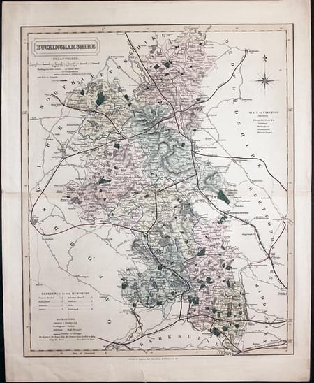
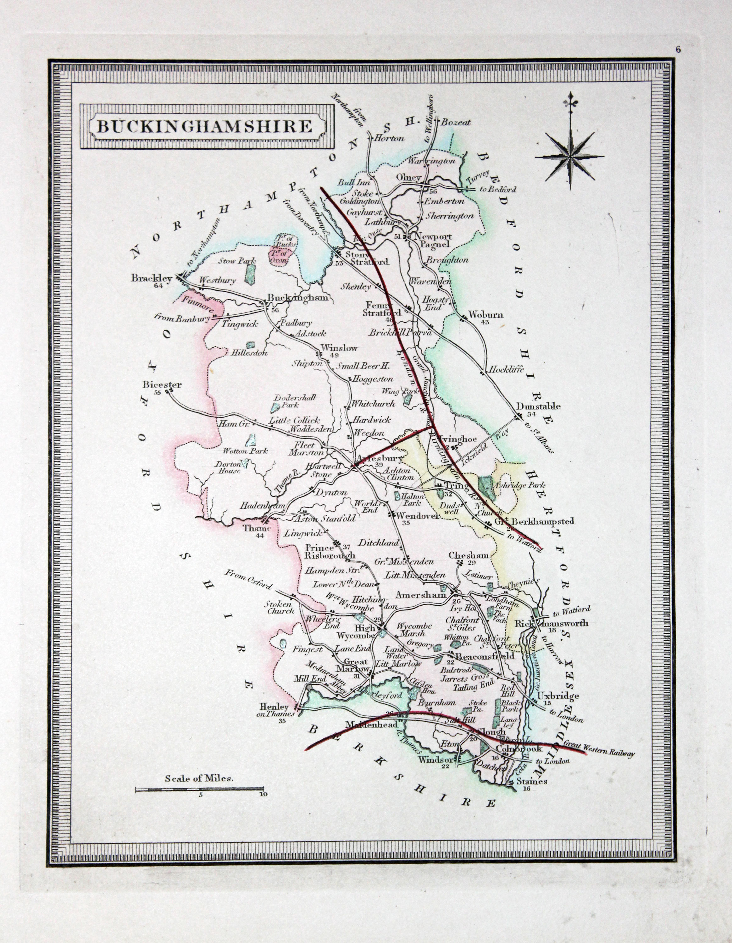
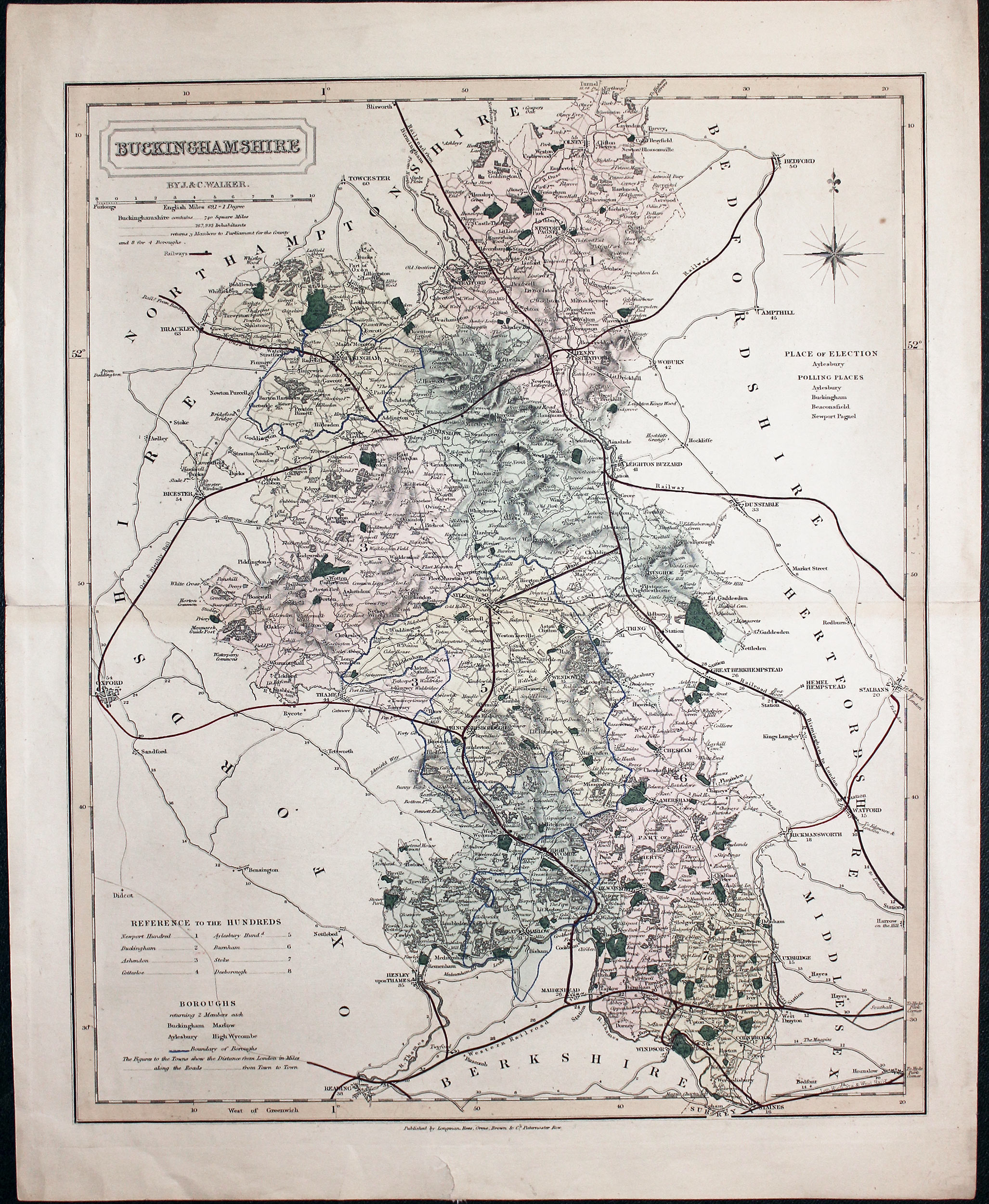
Buckinghamshire, John and Charles Walker, 1851
32119 Buckinghamshire, John and Charles Walker, 1851. Price: 30.00
BUCKINGHAMSHIRE
A good detailed engraved map of the county including the railways. Title panel with the names of J. & C. Walker beneath. Scale and explanation. Original outline and wash hand colouring. Imprint of Longman, Rees, Orme, Browne & Co. Paternoster Row beneath. 12 1/2 x 15 1/4i inches. Original centre fold. A little light creasing in the top left hand blank margin, small tear in the wide bottom blank margin and small slit at one end of the centre fold. Otherwise good condition.
From: The British Atlas

19th Century - Early Hand Colouring
-

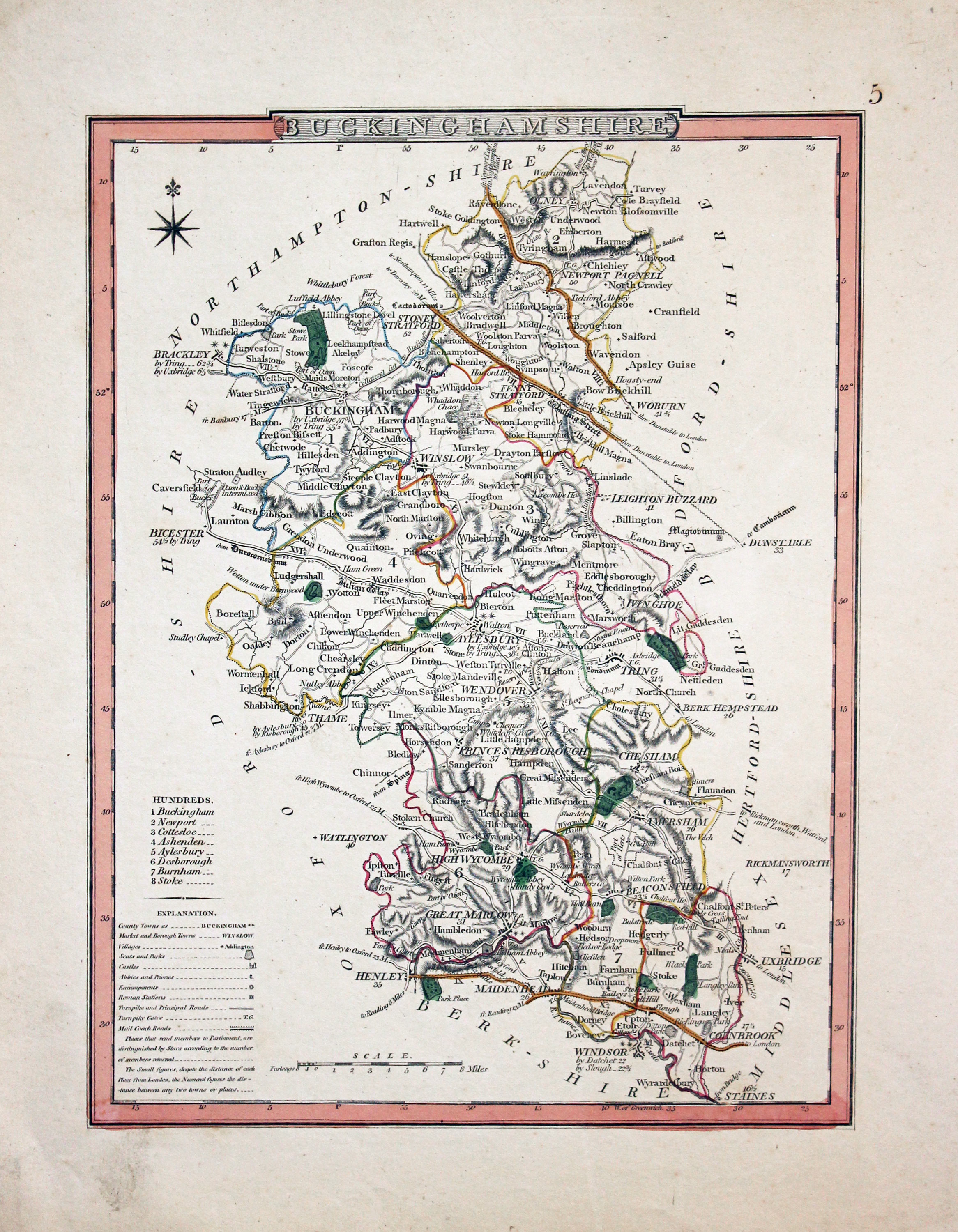
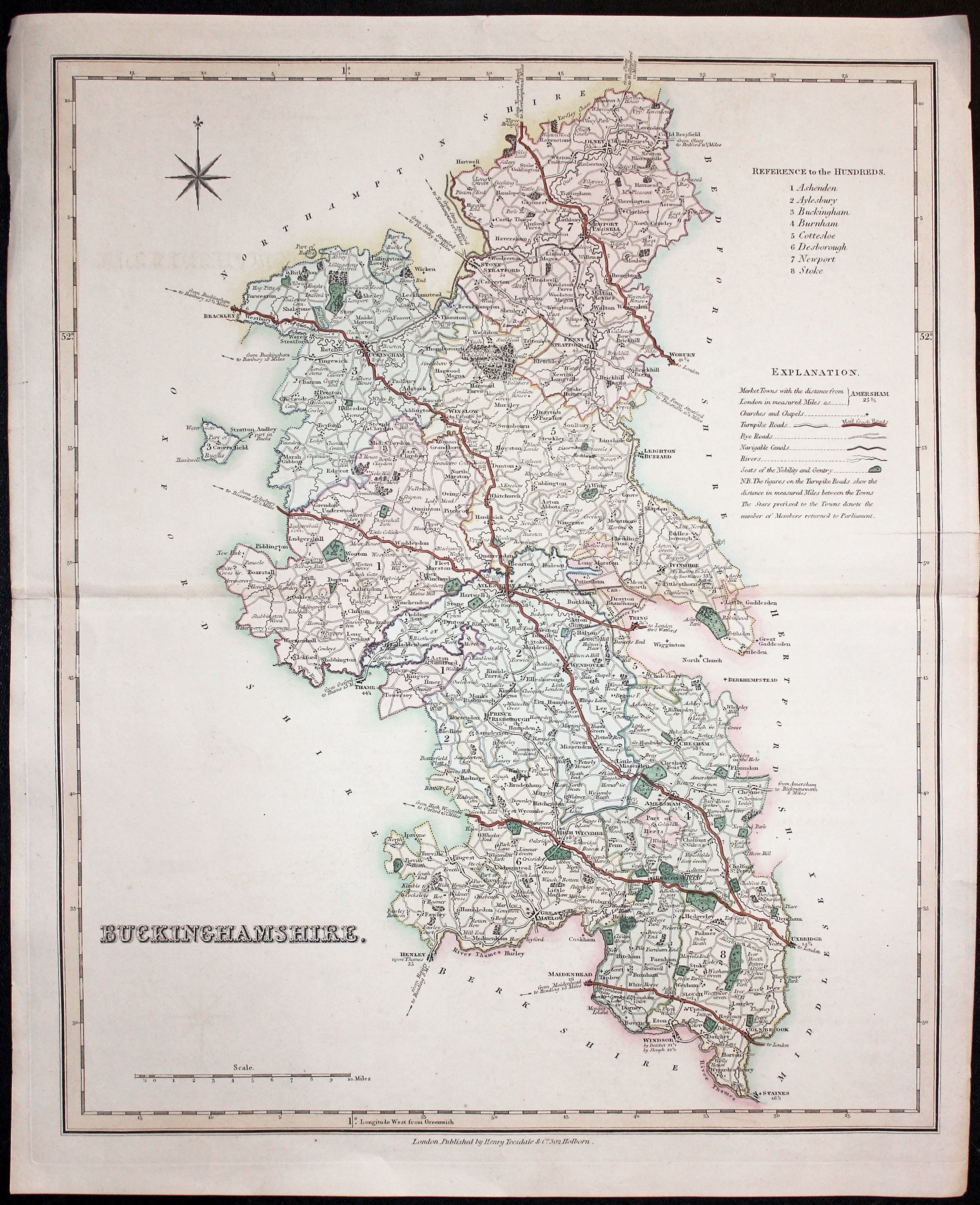
Buckinghamshire, Henry Teesdale, 1832
32121 Buckinghamshire, Henry Teesdale, 1832. Price: 36.00
BUCKINGHAMSHIRE
A good detailed engraved map of the county including the Mail Coach Roads. List of hundreds, explanation and compass rose. 13 1/4 x 16 inches. Fine early outline and wash hand colouring. Original centre fold. A few small nicks on the edges of the blank margins,, small slits at the ends of the centre fold, otherwise a nice clean specimen. The map is printed on Whatman paper watermarked 1831.
From: Improved Edition of the New British Atlas, Containng a Complete Set of County Maps, on which are delineated the Mail, Turnpike and Principal Crossroads..

19th Century - Early Hand Colouring
-

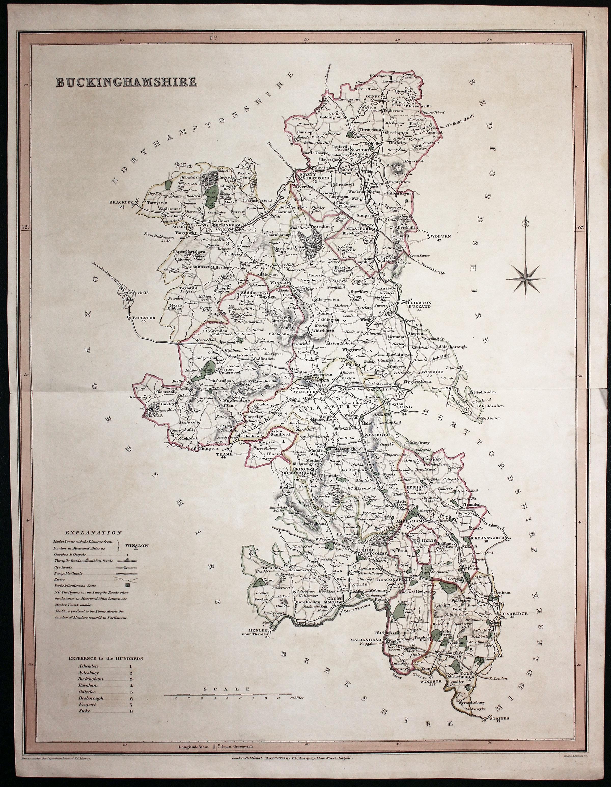
Buckinghamshire, T. L. Murray, 1831
32121 Buckinghamshire, T. L. Murray, 1831. Price: 36.00
BUCKINGHAMSHIRE
A detailed engraved map of the county with explanation, list of hundreds, scale and compass rose. Imprint at the base of the map of the publisher T. L. Murray, 19 Adam Street, Adelphi dated 1830. 14 x 17 3/4 inches. Original centre fold. Original outline hand colouring. 1 1/2 inch split at one end of the centre fold otherwise good condition.
From An Atlas of the English Counties

19th Century
-

Buckinghamshire, Letts, Son & Co. 1884
32125 Buckinghamshire, Letts, Son & Co. 1884. Price: 11.00
BUCKINGHAMSHIRE
A colour printed map of the county. Statistics table and explanation. 12 1/2 x 15 3/4 inches. Original cenre fold with a split of 3 inches at one end. Otherwise good condition.

19th Century - Early Hand Colouring
-
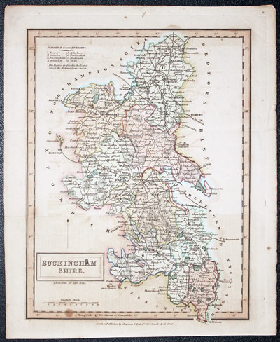
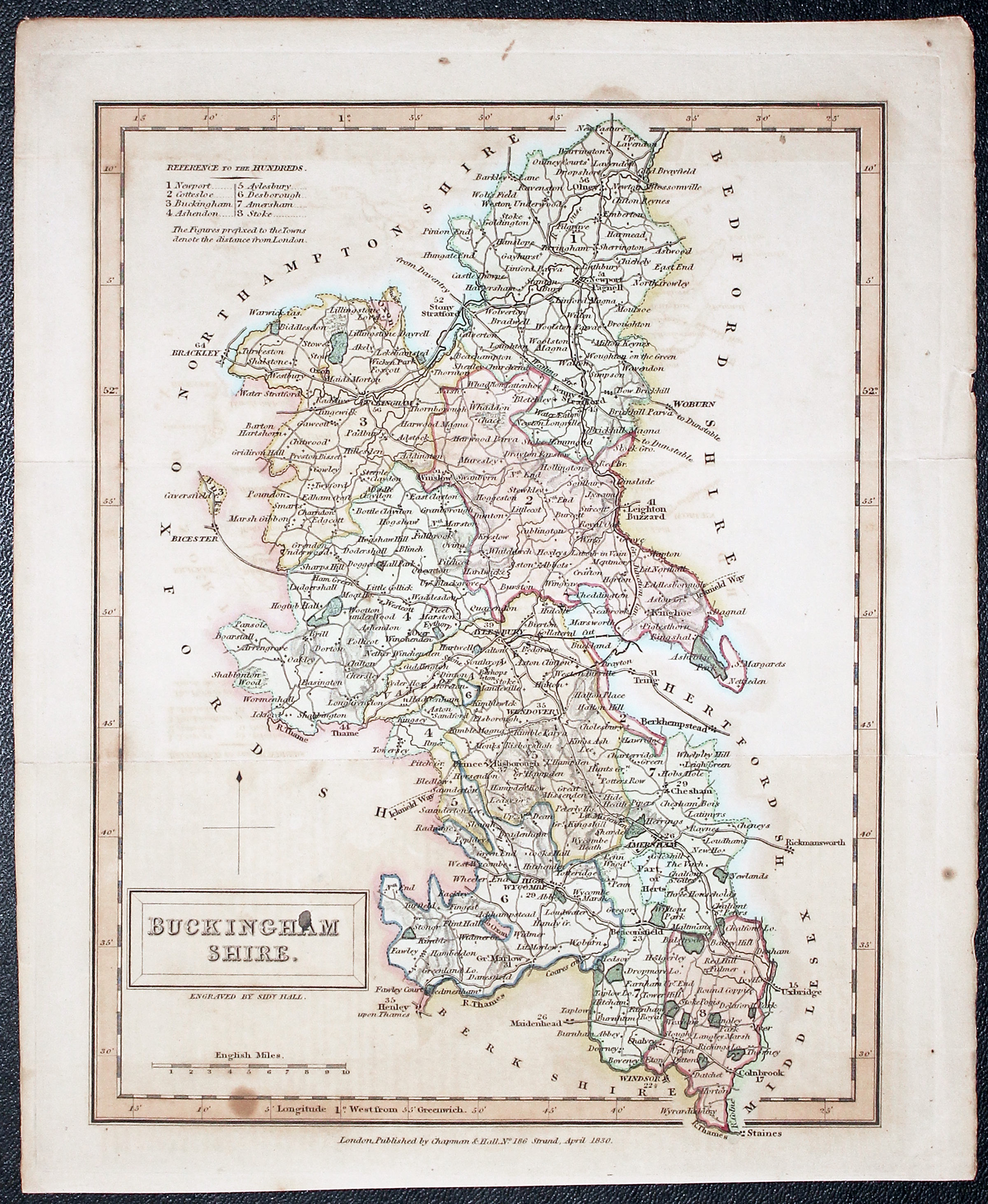
Buckinghamshire, Letts, Son & Co. 1884
32132 Buckinghamshire, Sidney Hall, 1830. Price: 20.00
BUCKINGHAMSHIRE
A detailed engraved map of the county. 9 1/2 x 7 1/2 inches. Attractive original outline and wash hand colouring. Publishers imprint beneath dated 1830. Original fold creases. Small stain in the title panel and a few other foxing spots. Light toning. Otherwise good condition.
From: A New British Atlas

19th Century - Decorative
-

Buckinghamshire, Thomas Moule c.1850
32188 Buckinghamshire, Thomas Moule c.1850. Price: 35.00
BUCKINGHAMSHIRE
A decorative engraved map of the county set within a gothic border with seven coats of arms. Four other coats of arms. Vignette views of Eton College and a lady. 7 1/2 x 10 1/4 inches. Uncoloured. Small light mark in the blank area above the vignette view. Small light crease near the top left hand corner. Otherwise good clean undamaged condition.
From: Barclay’s Dictionary.

19th Century
-

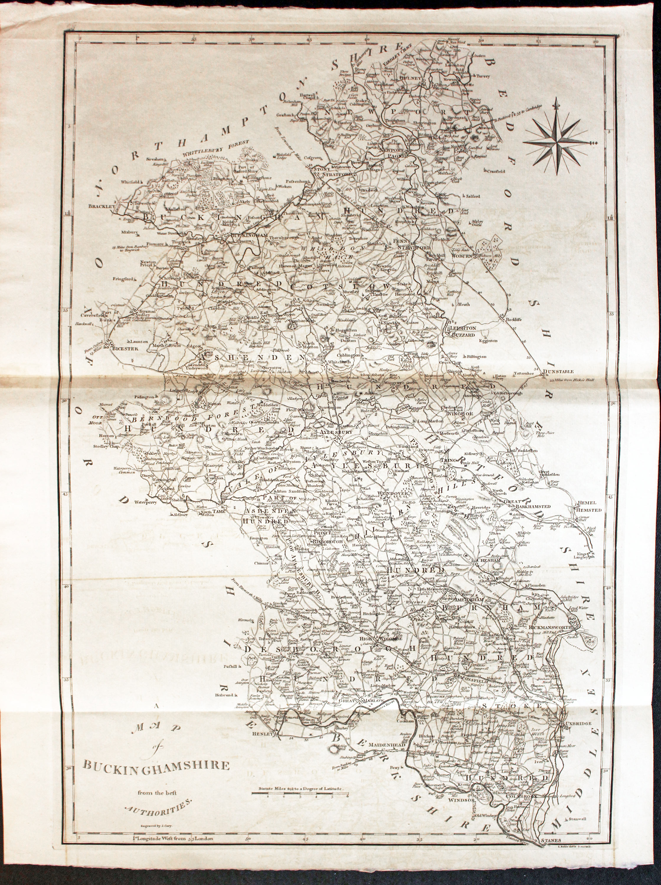
Buckinghamshire, John Cary c.1806
32238 Buckinghamshire, John Cary, c.1806. Price: 47.00
A MAP OF BUCKINGHAMSHIRE FROM THE BEST AUTHORITIES ENGRAVED BY J. CARY
A good sized detailed engraved county map. 13 3/4 x 20 1/2 inches. Uncoloured. Folding creases as published. Good clean condition.
From: Britannia or A Chrographical Description of England Translated by Richard Gough

19th Century - Miniature
-

Buckinghamshire, Robert Miller c.1820
32239 Buckinghamshire, Robert Miller, c.1820. Price: 23.00
BUCKINGHAMSHIRE
A miniature engraved map of the county with original wash hand colouring. 2 3/4 x 4 inches. Good clean condition.
From: Miller’s New Miniature Atlas or Darton’s New Miniature Atlas. There were three editions of this map first pubished in 1810, then 1820 and lastly in 1825. I know of no way to date these map once they have left the atlas.

19th Century - Early Hand Colouring
-
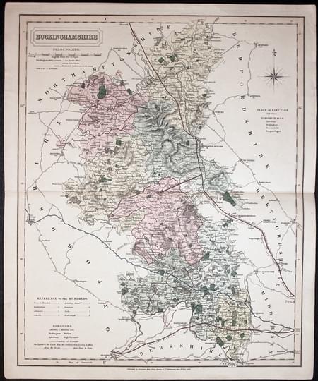
Buckinghamshire, Cary and Sockdale 1805
32308 Buckinghamshire, John and Charles Walker, 1838. Price: 35.00
BUCKINGHAMSHIRE.
A good detailed engraved map of the county including the railways. Title panel with the names of J. & C. Walker beneath dated 1838. Scale and explanation. Original outline and wash hand colouring. Imprint of Longman, Rees, Orme, Browne & Co. Paternoster Row beneath. 12 1/2 x 15 1/4i inches. Original centre fold. Short splits at the two ends of the centre fold otherwise good condition.

18th Century County and Road Map
-
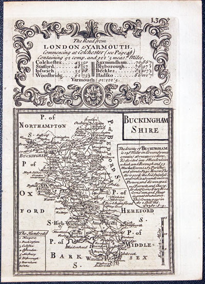
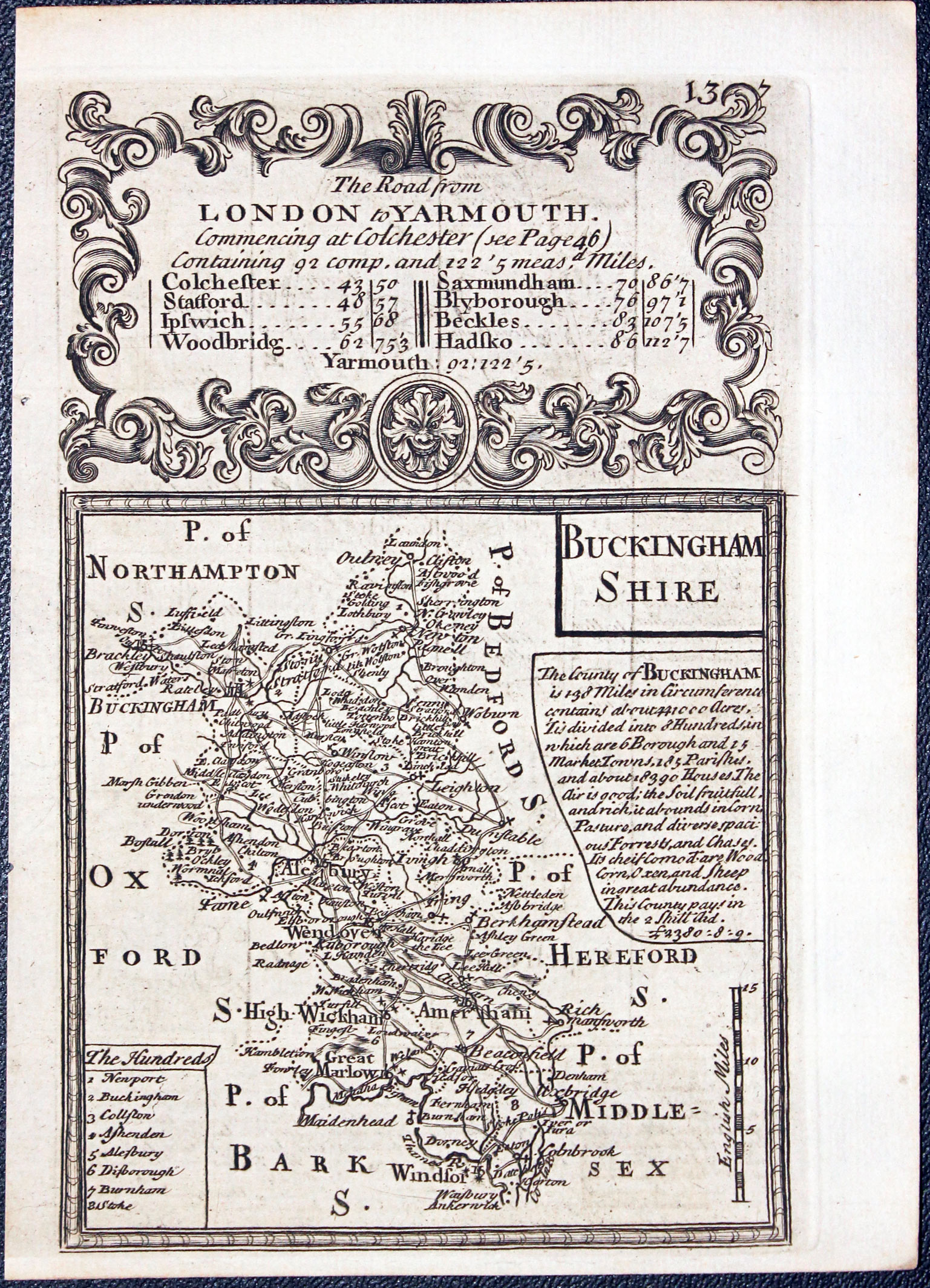
Buckingamshire map John Owen & Emanuel Bowen 1753
-
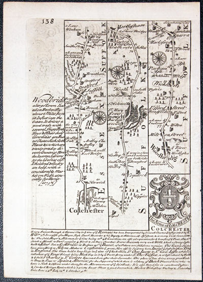
Buckinghamshire, Cary and Sockdale 1805

32436 Buckinghamshire, John Owen and Emanuel Bowen, 1753. Price: 36.00
BUCKINGHAMSHIRE
An engraved county map with description and list of hundreds, surmounted by a decorative baroque cartouche titled The Road from London to Yarmouth. Road map on verso from Colchester to beyond Woodbridge in Suffolk with coat of arms and engraved notes. 4 x 7 inches, 112 x 176 mm. Uncoloured. Good condition.
From: Britannia Depicta


PROVENANCE
At some time part of the Townsend Family library
Late 18th Century - Early Hand Colouring
-

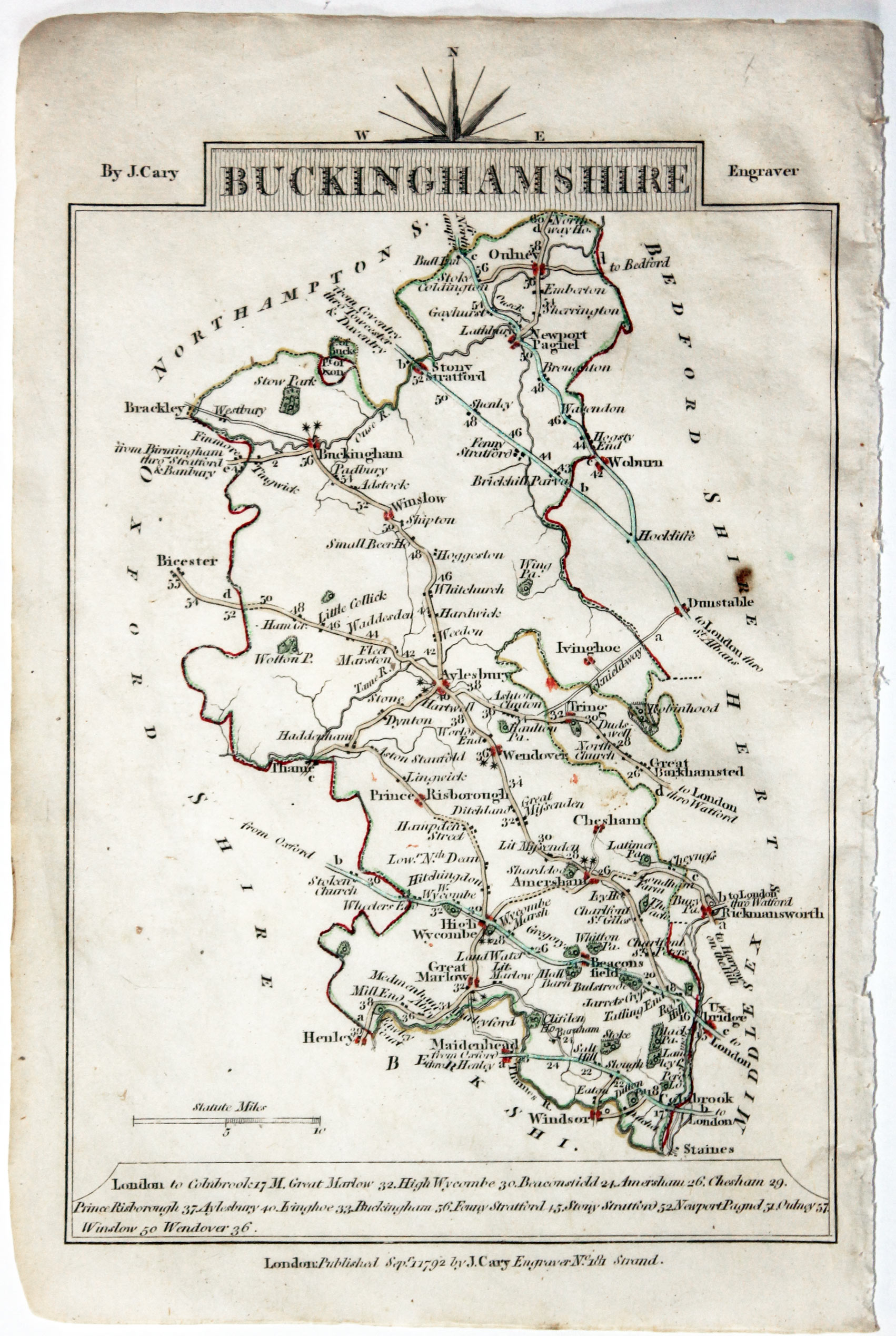
Map of Buckinghamshire, John Cary, 1792

32570 Buckinghamshire, John Cary, 1792. Price: 12.50
BUCKINGHAMSHIRE
A small engraved map of the county. Tile panel surmounted by half compass rose. Panel at bottom with list of distances from London. Publisher’s imprint beneath dated 1792. 3 1/2 x 4 3/4 inches. Thin paper. Original outline hand colouring. Good condition.
From: Cary’s Traveller’s Companion**
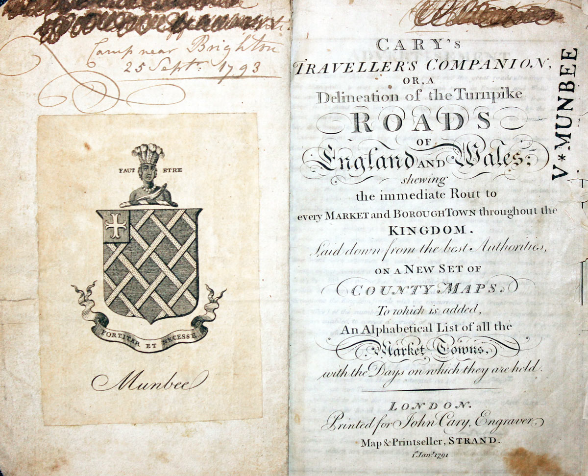
Title page dated 1791, maps dated 1792. The atlas was formerly in the Mumbee family library - title page stamped V. Munbee
Provenance
-
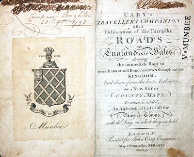
Cary Titlepage and Munbee Bookplate

Early 17th Century
-
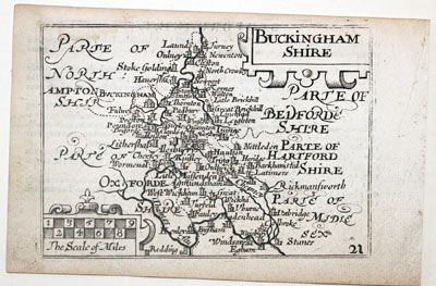
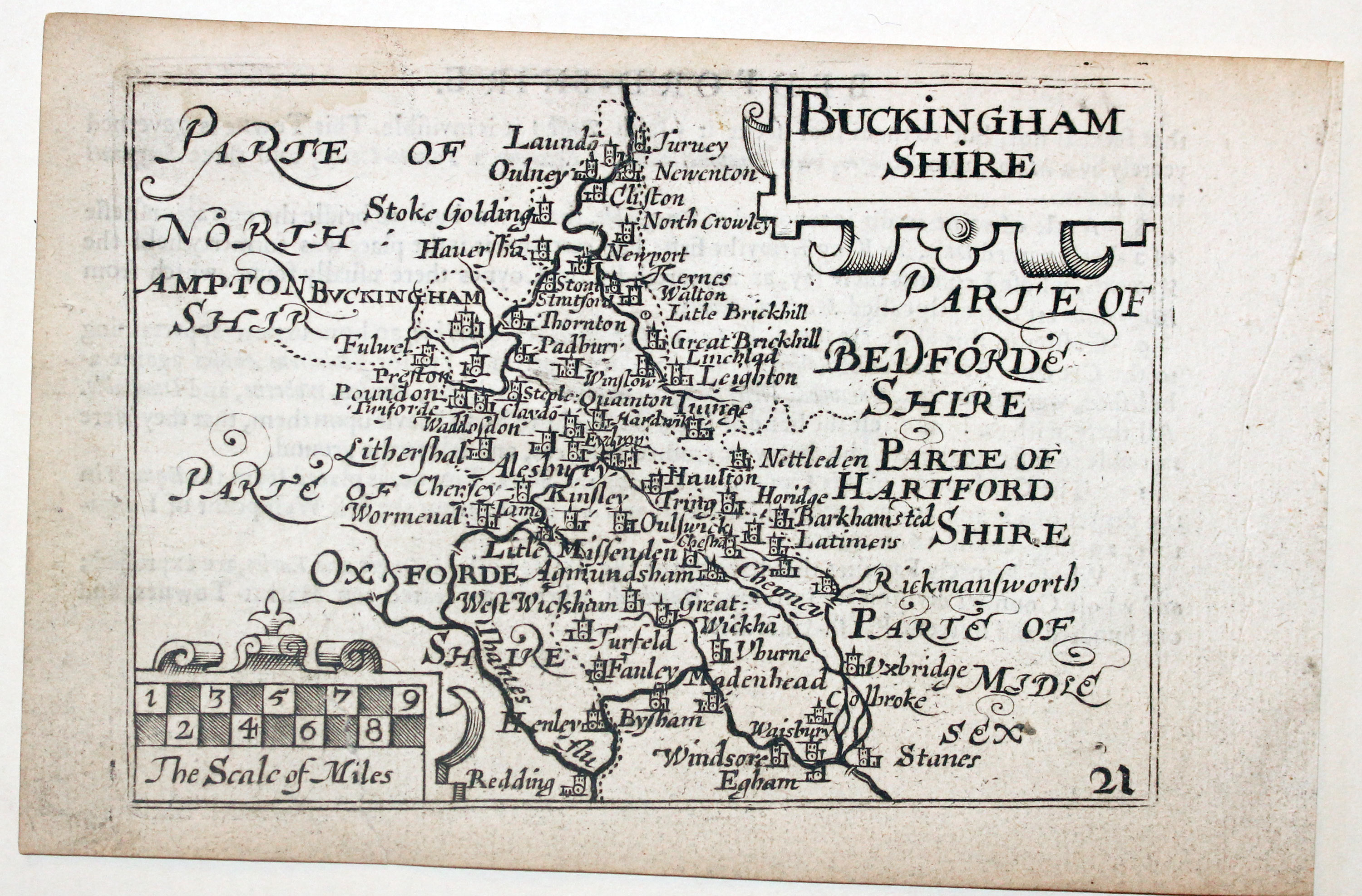
Buckinghamshire by Pieter van den Keere, c.1627
32635 Buckinghamshire, Pieter van den Keere, c.1627. Price: 69.00
BUCKINGHAM SHIRE
A early engraved miniature map of Buckinghamshire. Embellished with decorative cartouches which display the title and scale. Numbered 21. 4 3/4 x 3 1/4 inches. A good clean undamaged uncoloured specimen. The printing is slightly askew so there are tapering blank margins on the top and bottom but with no trimming of the map. . On verso is the end of a description of Bedfordshire. With the map are two original pages of text conatining a description of Buckinghamshire. Straight from the atlas and not previously sold as a single map. The title page of the atlas is dated 1627
From: England Wales Scotland and Ireland Described

Early 19th Century - Original Hand Colouring
-
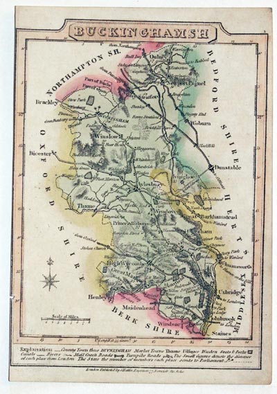
Buckinghamshire by James Wallis 1810
32693 Buckinghamshire, James Wallis, 1810. Price: 12.00
BUCKINGHAMSHIRE
A small engraved map of the county with compass rose and scale. Beneath the map is a description. Publishers imprint beneath. 3 3/4 x 5 inches. Original early hand colouring. No left hand blank margin with tiny binding hole on edge, otherwise good condition.

Late 18th Century
-

Buckinghamshire by John Harrison 1791
32695 Buckinghamshire, John Harrison, 1791. Price: 45.00
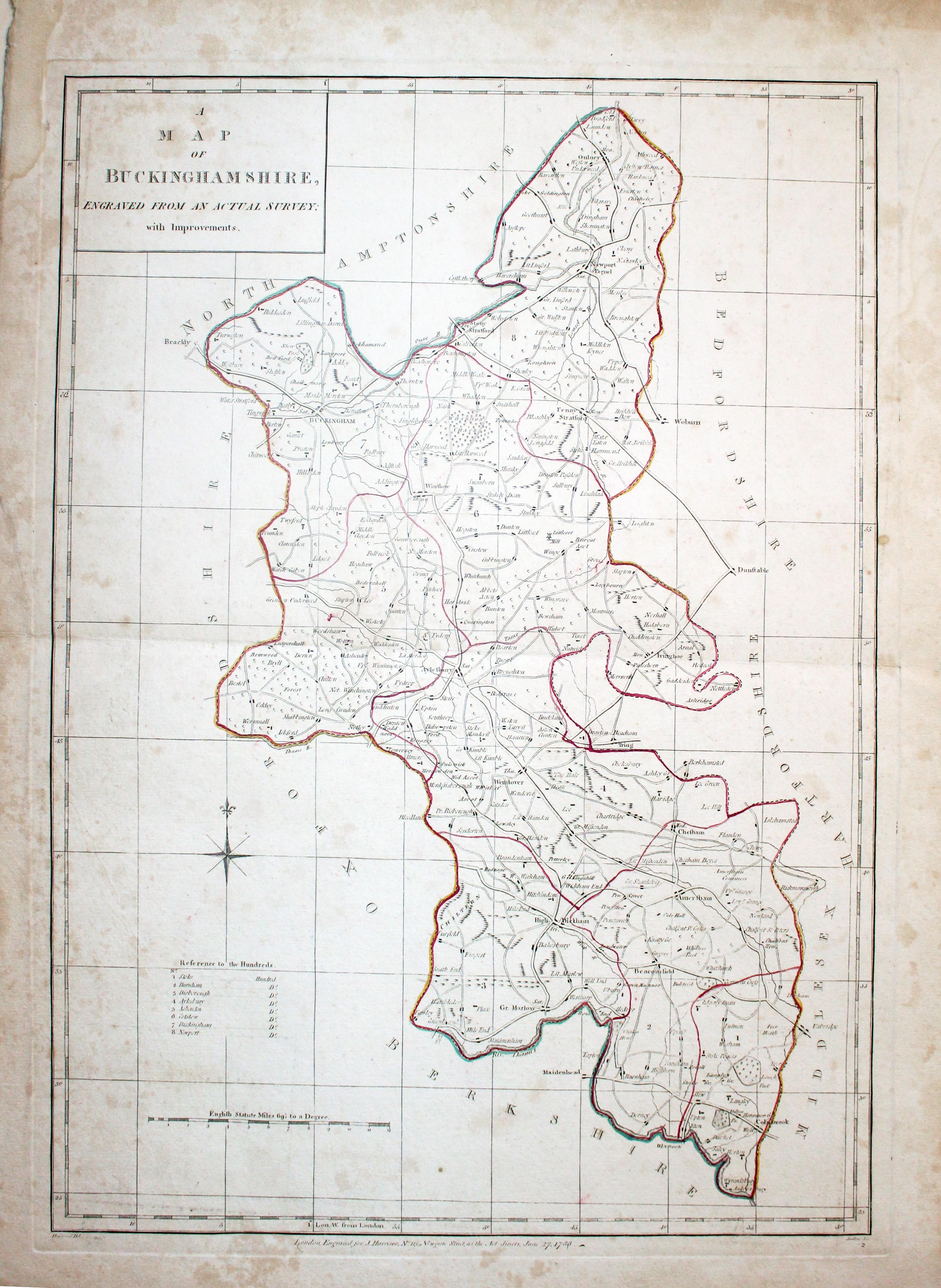
A MAP OF BUCKINGHAMSHIRE ENGRAVED FROM AN ACTUAL SURVEY WITH IMPROVEMENTS
A good sized late 18th century map of the county. Title panel, compass rose, scale and list of hundreds. Imprint of the publisher beneath dated 1788. 13 18 1/4 inches. Original early outline hand colouring. Some light browning manly in the blank margins. Some very light foxing to the map area. Small repair to one end of the centre fold. Otherwise good condition.
From: Maps of the English Counties.
I have dated the map 1791 as this is the year the atlas was first published


19th Century
-
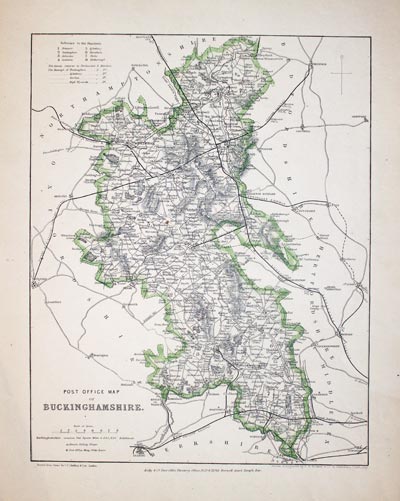
Buckinghamshire by Frederic Kelly 1860
32696 Buckinghamshire, Frederic Kelly, 1860. Price: 26.00
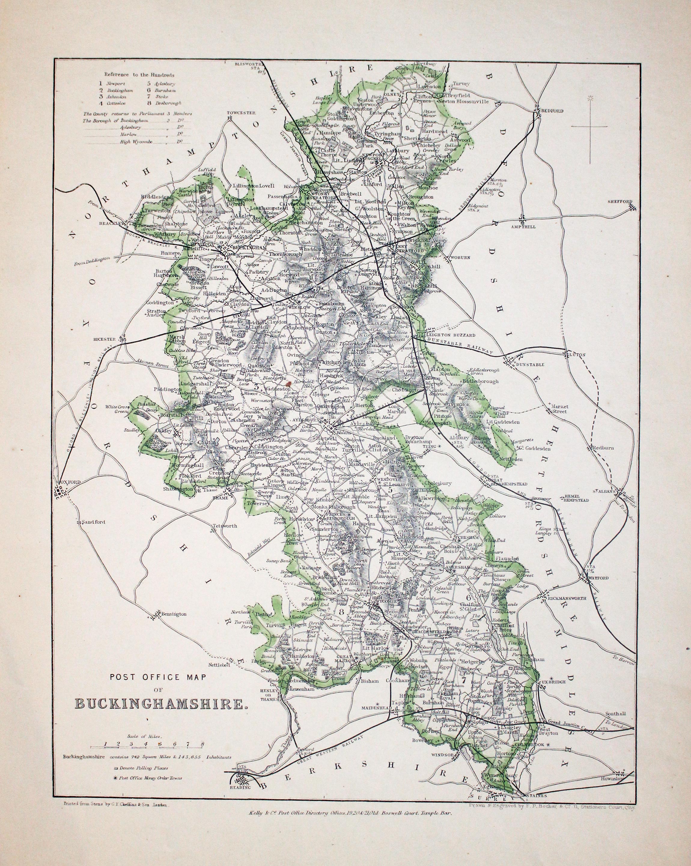
POST OFFICE MAP OF BUCKINGHAMSHIRE
A lithograph map of the county. Original outline hand colouring. Publisher’s imprint beneath. Good clean undamaged condition with wide blank margins.
From: The Post Office Directory of England and Wales

17th Century - Text
-
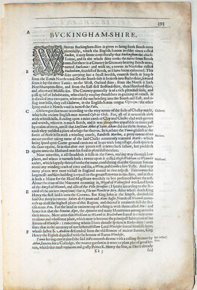
Bedfordshire Text from Camden's Britannia 1637
32797 Buckinghamshire, William Camden, 1637. Price: 8.00
BUCKINGHAMSHIRE
Pages 399, 400, 401, 402 and 403 describing the county of Buckinghamshire in English. About 13 x 8 inches. Good condition.
From: Camden’s Britannia
19th Century - Early Hand Colouring
-

Map of Buckinghamshire by Samuel Lewis 1848
32894 Buckinghamshire, Samuel Lewis, 1848. Price: 27.00
BUCKINGHAMSHIRE
A county map drawn by R. Creighton and engraved by J. & C. Walker. 6 3/4 x 9 inches. Original outline hand colouring. Good clean condition. Straight from the atlas and not sold as a single map before now.
From: Lewis' Atlas to the Topographical Dictionaries of England and Wales

Late 19th Century
-
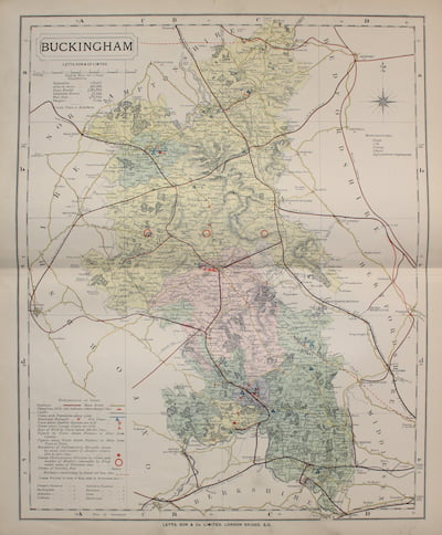
Map of Buckinghamshire by Thomas Letts
32957 Buckinghamshire, Thomas Letts, 1884. Price: 24.00
BUCKINGHAM
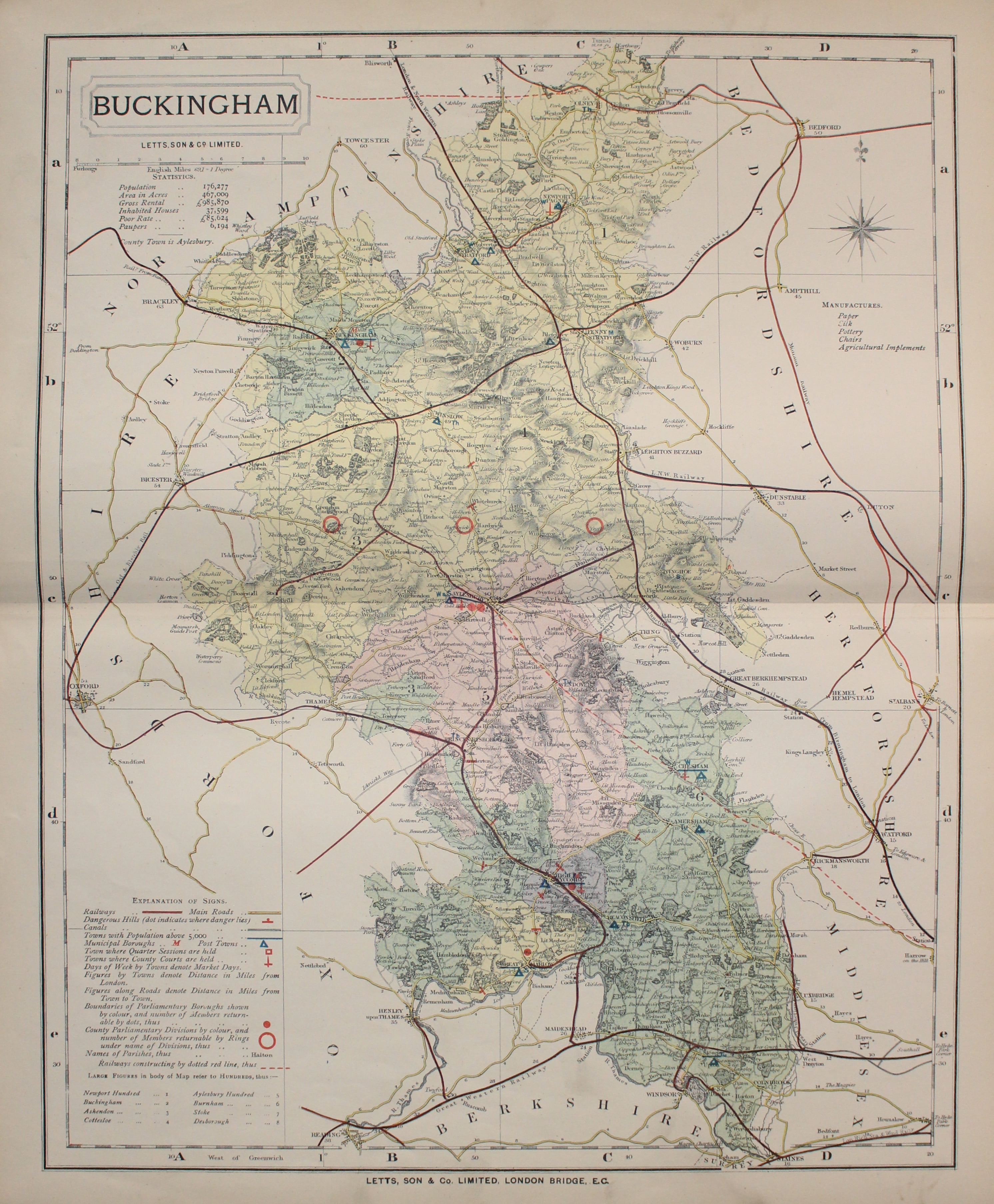
A detailed chromolithograph map of the county. Explanation plus statistics concerning Population, Area, Inhabited Houses, Poor Rate and Paupers. 12 3/4 x 15 3/4 inches. Original centre fold. Imprint of Letts & Son beneath. Fine clean condition. Straight from the atlas so never previously been sold as a single map.
From: Lett’s Popular County Atlas

19th Century
-
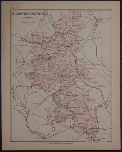
Map of Buckinghamshire by Thomas Letts
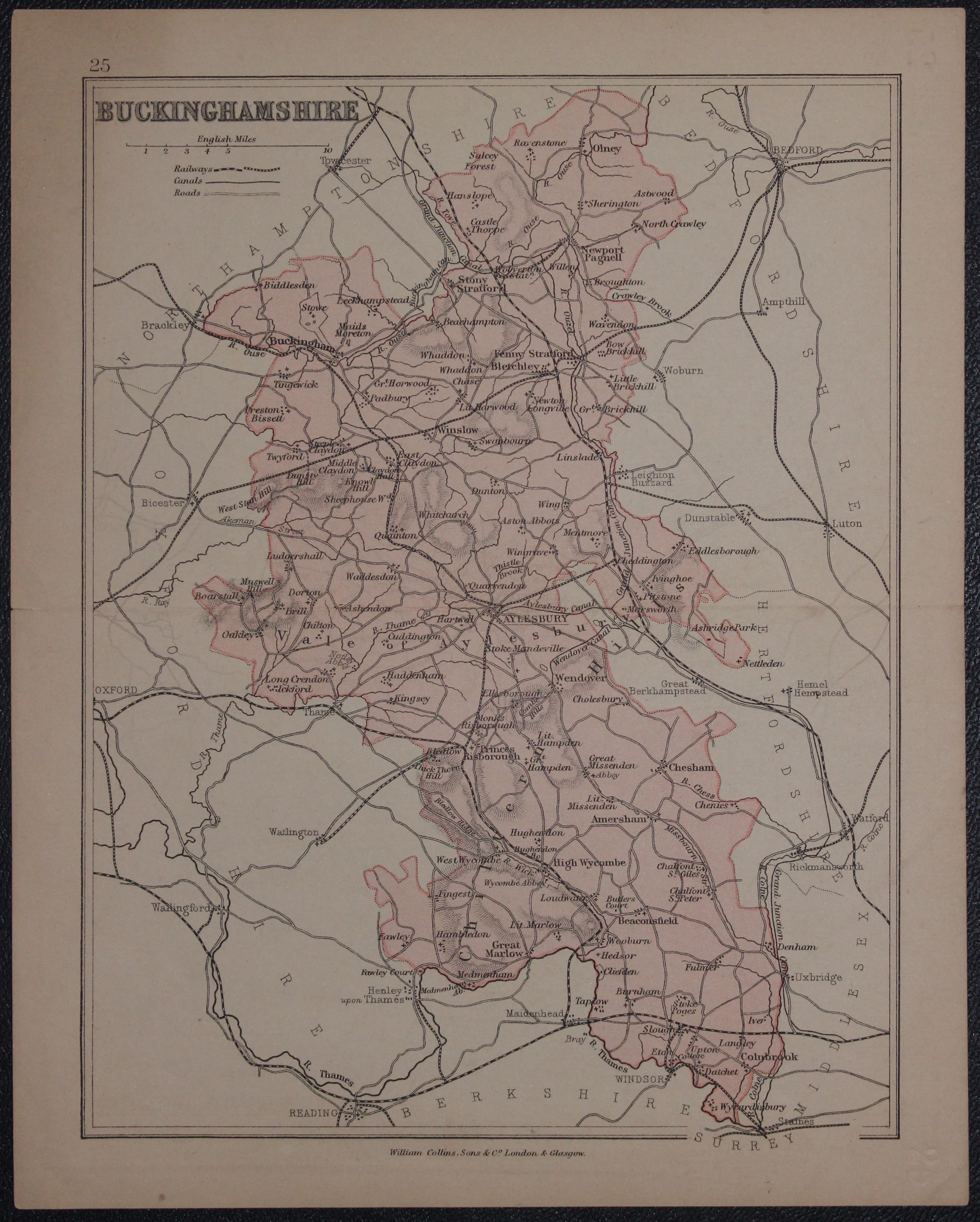
33014 Buckinghamshire, William Collins, c.1880. Price: 8.00
BUCKINGHAMSHIRE
Lithograph map of the county. Imprint of William Collins, Sone & Co. London and Glasgow beneath. 6 1/4 x 8 inches. Good condition.

18th Century
-

Map of Buckinghamshire by John Lodge 1787
33015 Buckinghamshire, John Lodge, 1787. Price: 29.00
A NEW MAP OF BUCKINGHAMSHIRE FROM THE LATEST AUTHORITIES
A clearly engraved map of the county engraved by J. Lodge and published by J. Murray at 32 Fleet Street, London. 10 1/4 x 12 1/2 inches. Uncoloured. Very small left hand blank margin. Traces of original fold creases. Good condition.
From: Political Magazine Sept. 1787

For the Collector
-
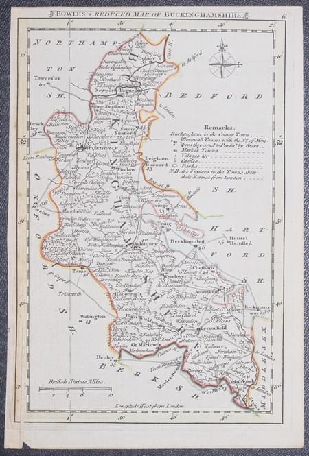
Map of Buckinghamshire by Thomas Letts
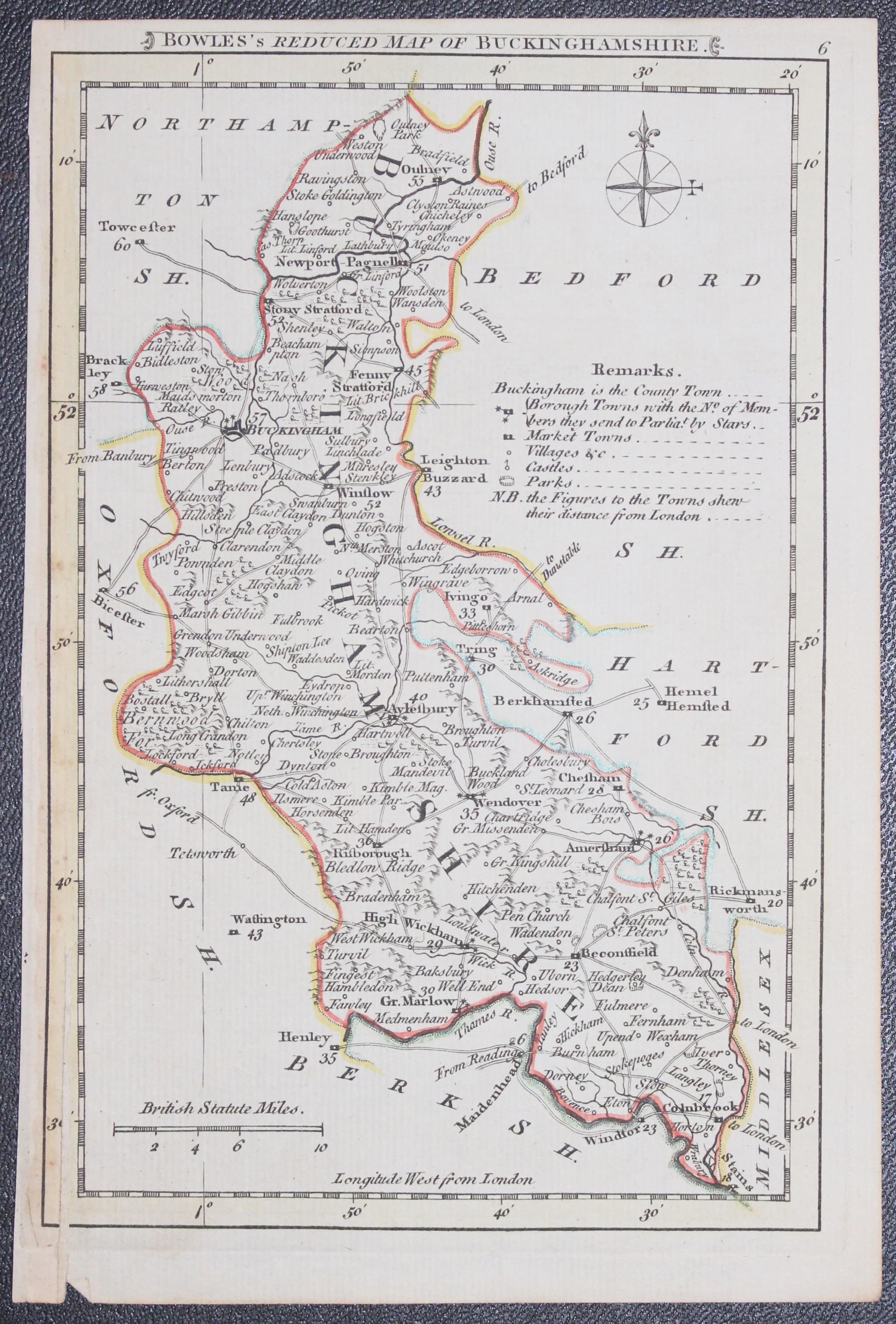
33018 Buckinghamshire, Carington Bowles, 1785. Price: 48.00
BOWLES’S REDUCED MAP OF BUCKINGHAMSHIRE
A small engraved map of the county with compass and scale.
5 x 7 3/4 inches. Original outline hand colouring. Vertical split in bottom of the left hand printed border. Otherwise good condition.
Rarely comes into stock.
From: Bowles's Pocket Atlas of the Counties of South Britain or England and Wales

19th Century Boundaries
-
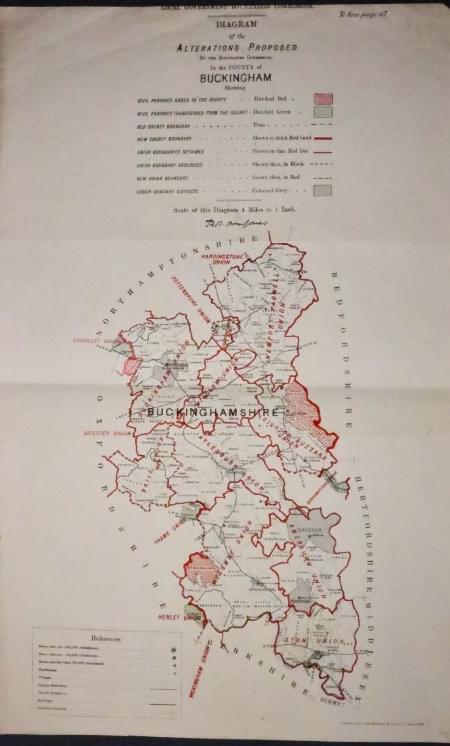
Buckinghamshire Boundaries, Robert Owen ones 1888
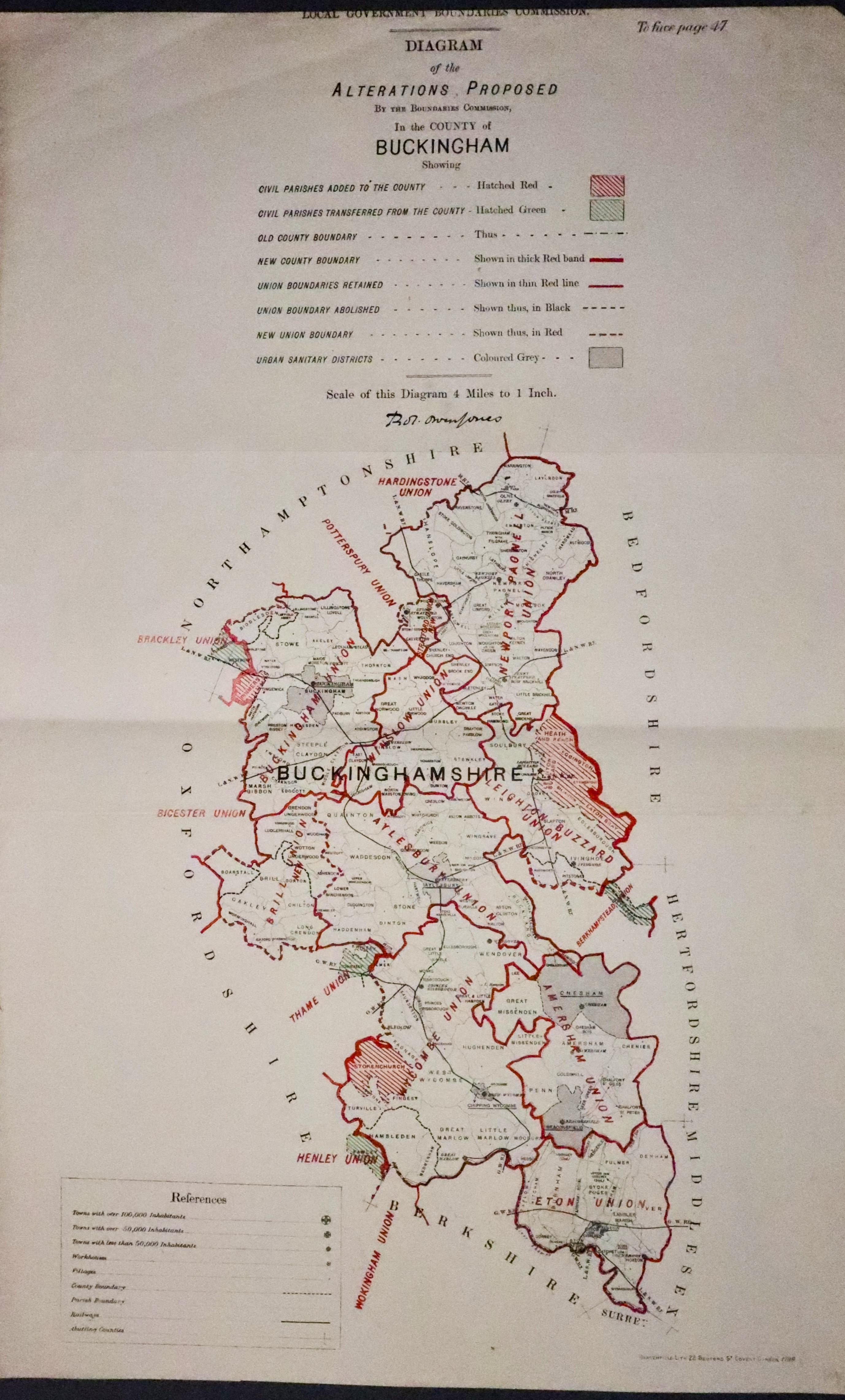
33289 Buckinghamshire, Robert Owen Jones, 1888. Price: 21.00
ALTERATIONS PROPOSED......IN THE COUNTY OF BUCKINGHAM....
An interesting lithograph map printed in black and red. It shows the “Alterations Proposed by the Boundaries Commission, in the County of Buckingham”. Size of sheet 13 1/2 x 21 1/4 inches. Two fold creases. Good condition.

19th Century
-
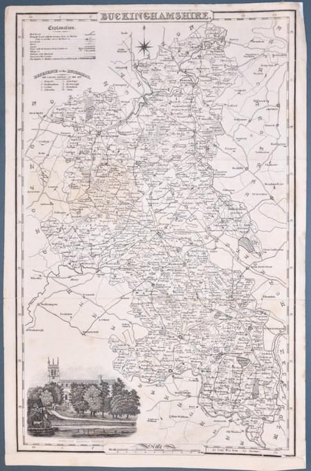
Buckinghamshir, James Pigot c.1840
33360 Buckinghamshire, James Pigot, c.1840. Price: 19.00
BUCKINGHAMSHIRE
An detailed engraved map of the county with title, scale, explanation and list of hundreds. Embellished with a view of Newport Pagnell Church. 8 3/4 x 14 inches. Uncoloured. Repair to the bottom right hand corner and small repair to the top right hand blank margin corner. A few marginal nicks repaired. Traces of two horizontal folding creases.
SPECIAL PRICE

19th Century
-
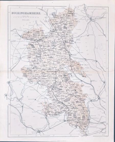
Buckinghamshire, William Hughes 1868
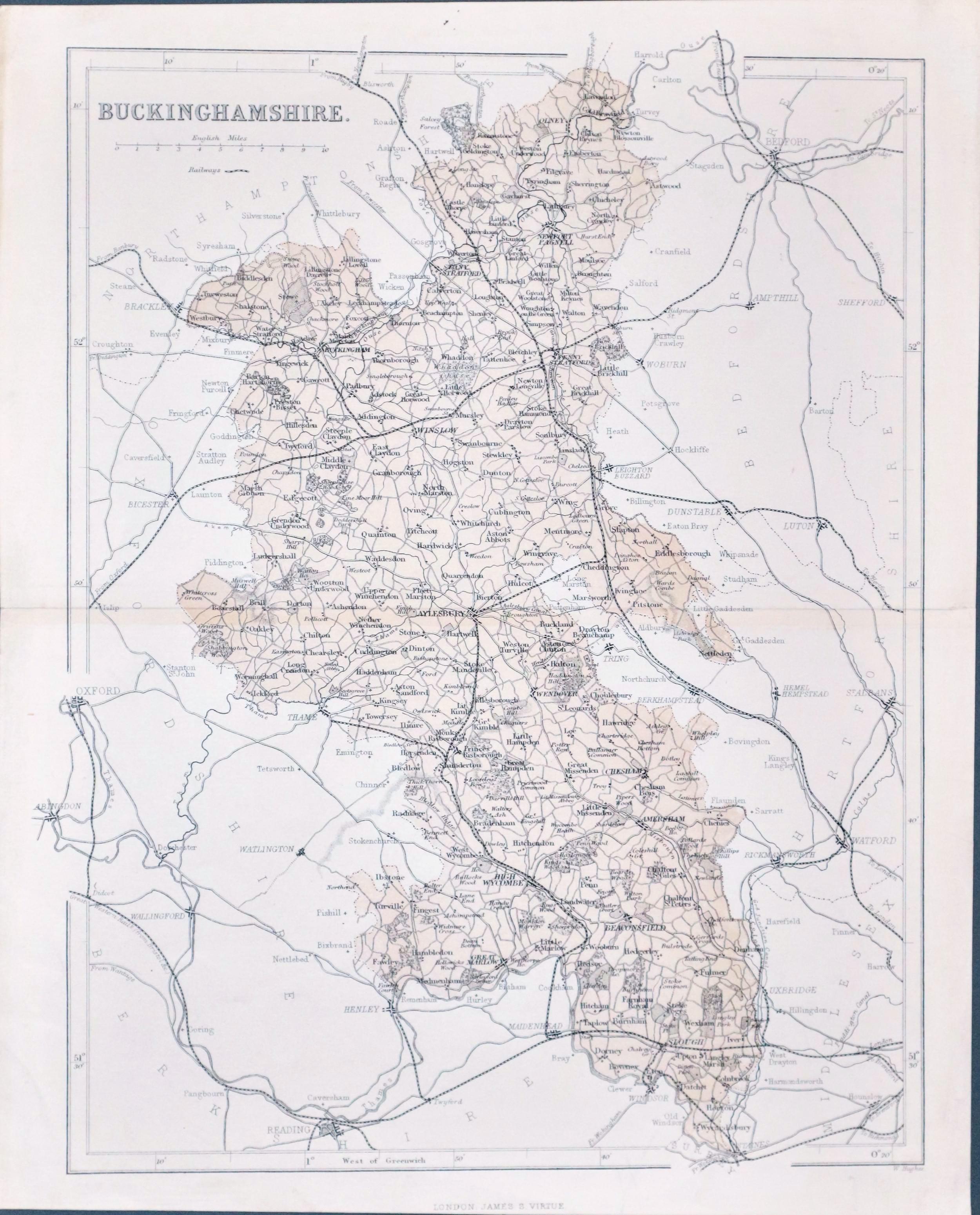
33362 Buckinghamshire, William Hughes, c.1868. Price: 9.50
BUCKINGHAMSHIRE
A detailed map of the country including the railways. 9 1/4 x 12 inches. Original centre fold. Good condition.

18th Century - First Edition
-

Berkshire, Robert Morden 1695
33489 Buckinghamshire, Robert Morden 1695. Price: 125.00
BERKSHIRE BY ROBT. MORDEN
The FIRST EDITION of this good engraved map of the county embellished with a decorative title cartouche. Three scales. Imprint of the publishers Abel Swale, Awnsham Churchill and John Churchill. 16.5 x 14 inches, 420 x 355 mm. Uncoloured. Original centre fold. Very light small stain in the right hand printed margin otherwise good condition. Nice impression on a good crisp paper. This map has been taken straight from the atlas and therefore not previously offered for sale as a single map. One of the first maps of the county to show the main coach roads following Ogilby’s survey some 20 years earlier.
From: Camden's Britannia
Late 19th Century
-

Buckinghamshire,
33551 Buckinghamshire, Francis Sydney Weller, c.1898. Price: 9.00
BUCKINGHAMSHIRE
A colour print lithograph county map. Includes the railways at that time. Original centre fold. 8 1/2 x 11 inches. Good condition.
From: The Comprehensive Gazetteer of England Wales

