Antique Maps of Cambridgeshire
Richard Nicholson of Chester
A World of Antique Maps and Prints
Established in 1961
All the Maps on this page are guaranteed to be genuine early specimens
published in or around the year stated
19th Century - Early Hand Colouring
-

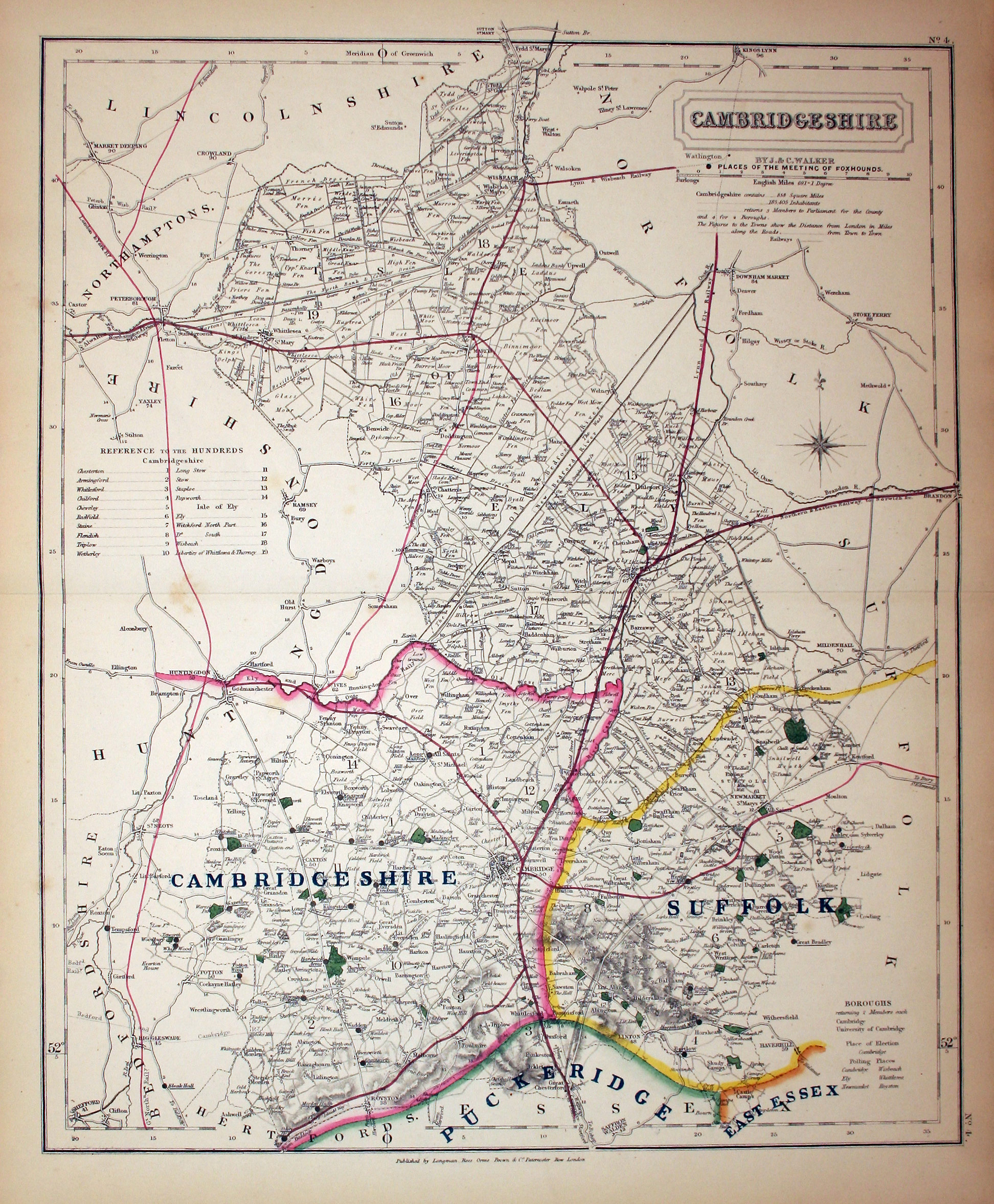
Cambridgeshire, J. & C. Walker, c.1860

9973 Cambridgeshire, J. & C. Walker, c.1860. Price: 42.00
CAMBRIDGESHIRE
A lithograph county map showing by means of black dots the places of the Meeting of the Hounds. Original hand colouring. Good condition.
From: Hobson's Fox Hunting Atlas
18th Century - Miniature
-
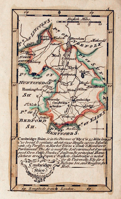
Cambridgeshire, John Gibson, 1759

12771 Cambridgeshire, John Gibson, 1759. Price: 65.00
CAMBRIDGE SHIRE
A miniature engraved map of the county. Uncoloured rococo title cartouche. Description. Compass pointer and scale. 2.5 x 4.5 inches, 63 x 110 mm. Early outline hand colouring. Good condition.
From: New and Accurate Maps of the Counties of England and Wales
Late 18th Century - Early Hand Colouring
-

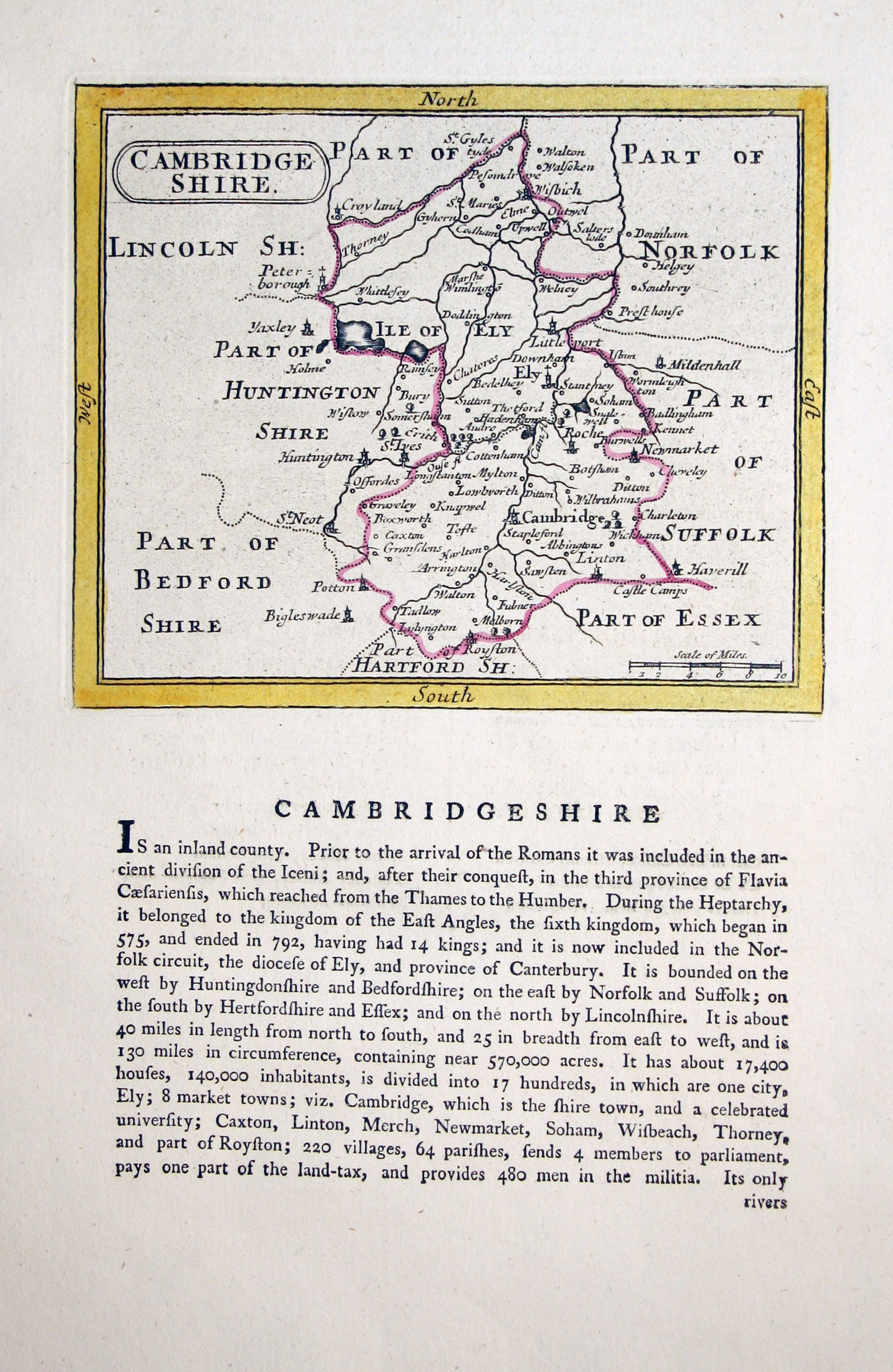
Cambridgeshire, John Seller, c.1787

18921 Cambridgeshire, John Seller, c.1787. Price: 35.00
CAMBRIDGESHIRE
An engraved county map with title panel. Descriptive text beneath the map and on verso. 5.75 x 4.75 inches, 145 x 120 mm. Original outline hand colouring. Good condition.
From: Antiquities of England and Wales by Francis Grose
19th Century - Decorative
-
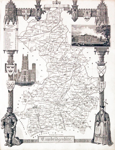
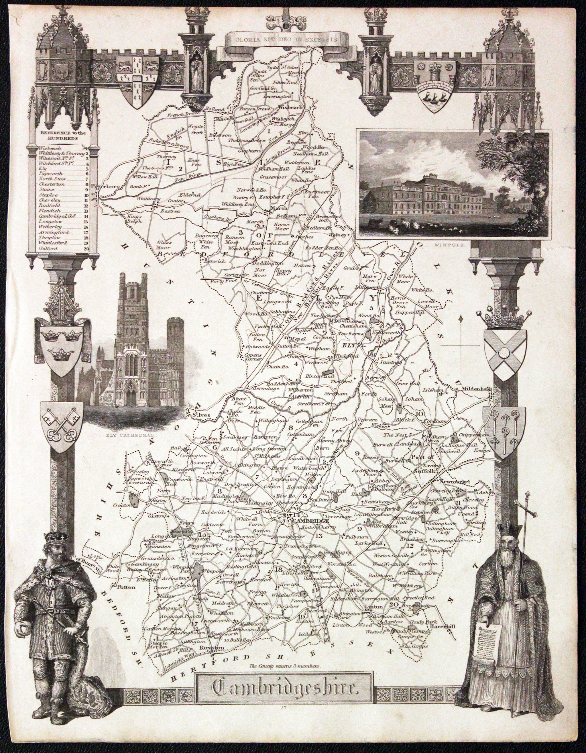
Map of Cambridgeshire, Thomas Moule c.1850

24674 Cambridgeshire, Thomas Moule, c.1850. Price: 39.00
CAMBRIDGESHIRE
A decorative Victorian map of the county. Gothic border with two figures, inset view of Wimpole and a vignette view of Ely Cathedral. Six coats of arms. 7 x 10 3/4 inches. Uncoloured. Slight trimming to the top of the decorative border. Small repair to the tip of the top left hand blank corner. Otherwise good clean condition.
From: Barclay's Dictionary
19th Century - Decorative
-

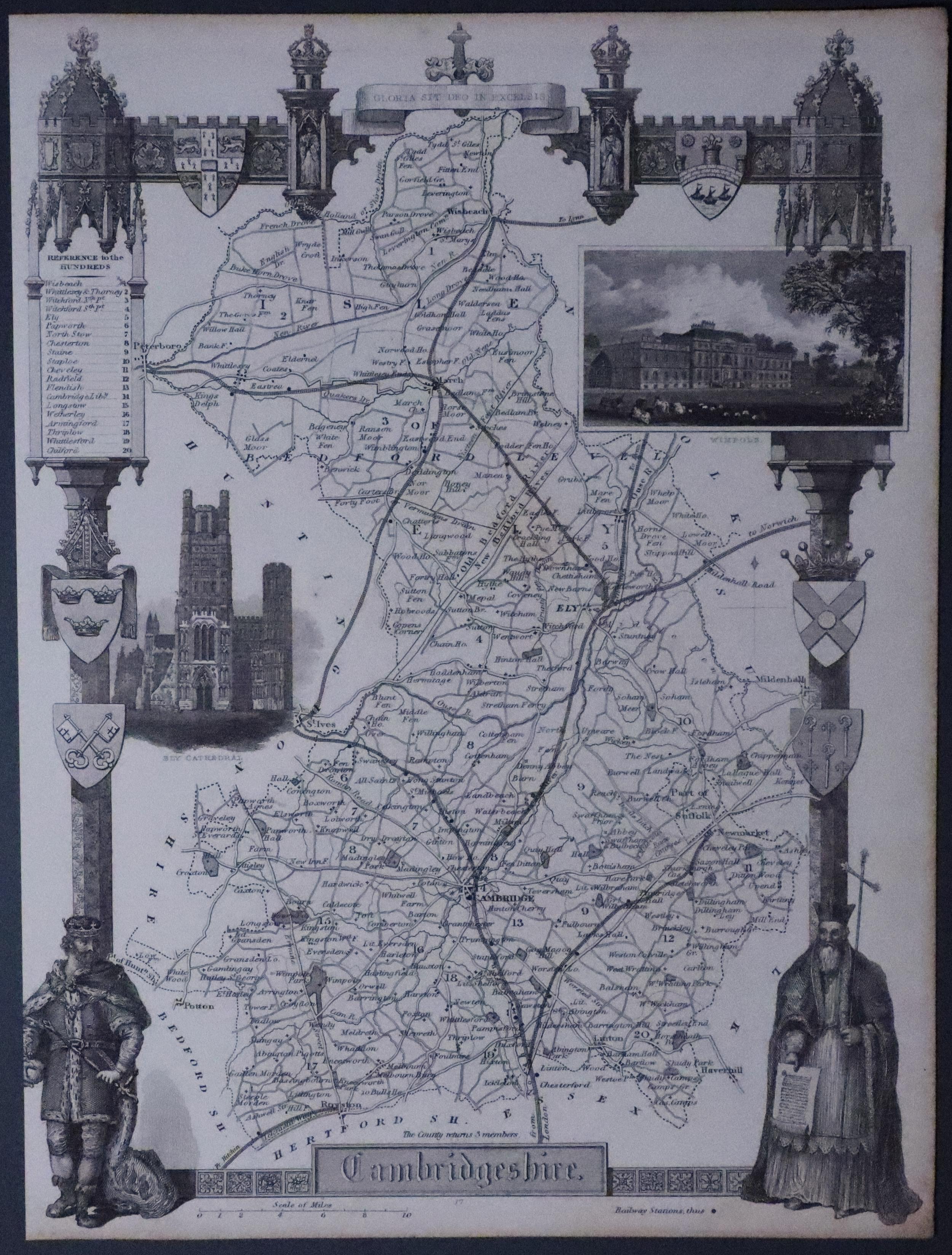
Map of Cambridgeshire, Thomas Moule c.1850

20790 Cambridgeshire, Thomas Moule, c.1850. Price: 34.00
CAMBRIDGESHIRE
A decorative Victorian map of the county. Gothic border with two figures, inset view of Wimpole and a vignette view of Ely Cathedral. Six coats of arms. 7 x 10 3/4 inches. Uncoloured. Some light trimming to the left hand side otherwise good condition.
From: Barclay's Dictionary.
19th Century
-

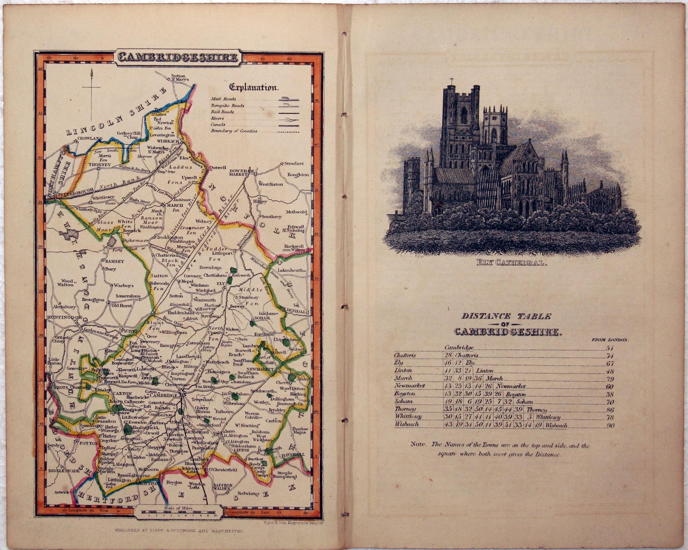
Cambridgeshire, James Pigot, c.1835

24966 Cambridgeshire, James Pigot, c.1835. Price: 34.00
CAMBRIDGESHIRE
An engraved county map with early outline hand colouring. 4 x 6 1/2 inches. Still lightly bound on edges with the Distance Table page on which there is an uncoloured vignette view of Ely Cathedral plus pages of descriptive text.
From: A Pocket Topography and Gazetteer of England and
18th Century - Road Map
-
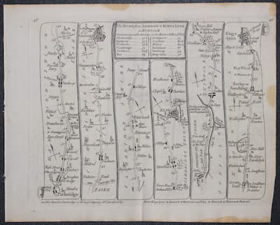
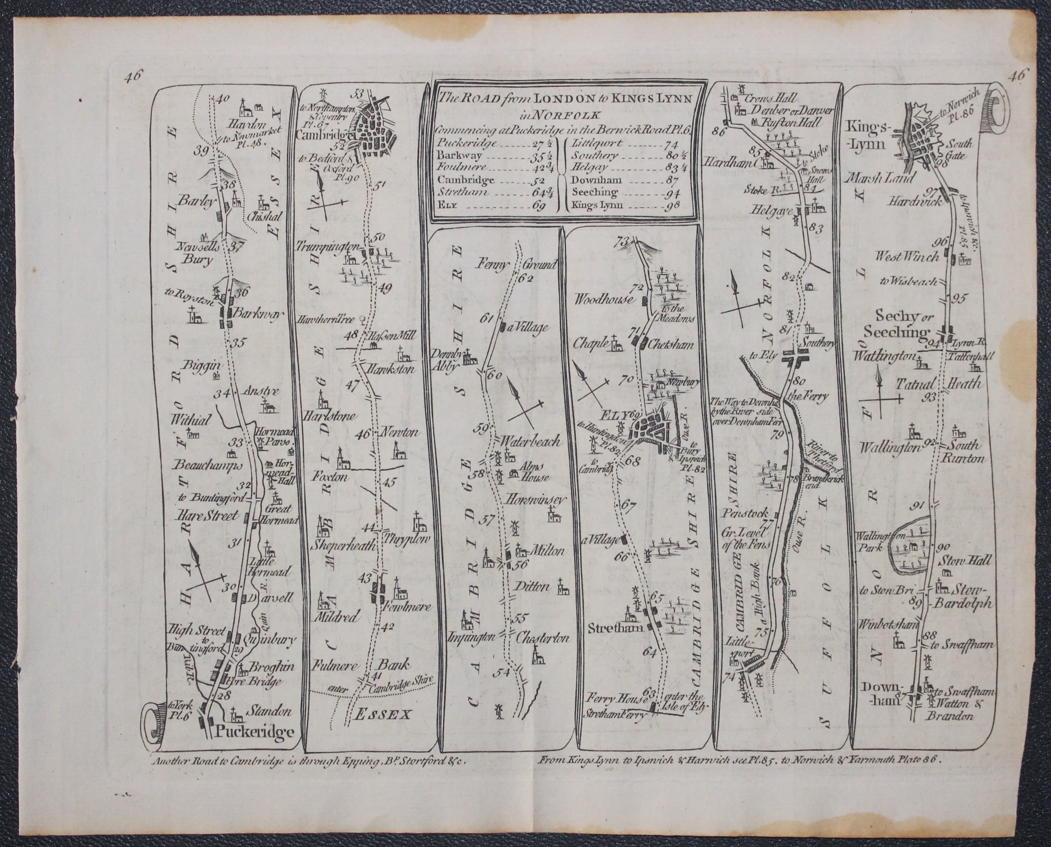
Puckeridge to Kings Lynn road map Thomas Kitchin 1767
-

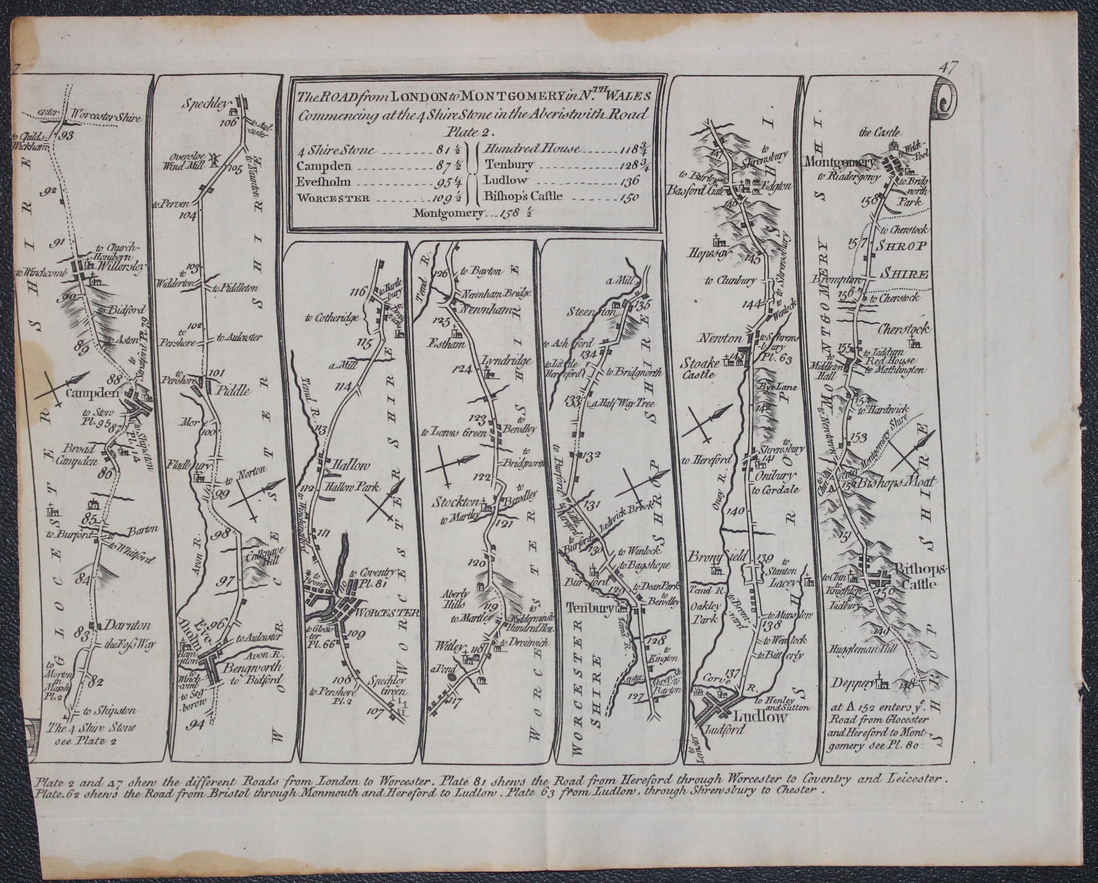
Campden to Montgomery road map Thomas Kitchin 1767

27066 Road Map 46/47, Thomas Kitchin 1767. Price: 20.00
THE ROAD FROM LONDON TO KINGS LYNN IN NORFOLK / THE ROAD FROM LONDON TO MONTGOMERY IN NTH. WALES
A double sided road map. Plate 46 and 47. On one side the roads starts at Puckeridge passing through Cambridge, Ely and onto Kings Lynn. On the other side the road starts near Campden and passes through Worcester, Tenbury, Ludlow, Bishops Castle and ending at Montgomery. Some 7 1/2 x 6 inches. Uncoloured. Small stain on top edge of blank margin. Trimming to left hand side of plate 47 with slight loss of border corner.
18th Century
-

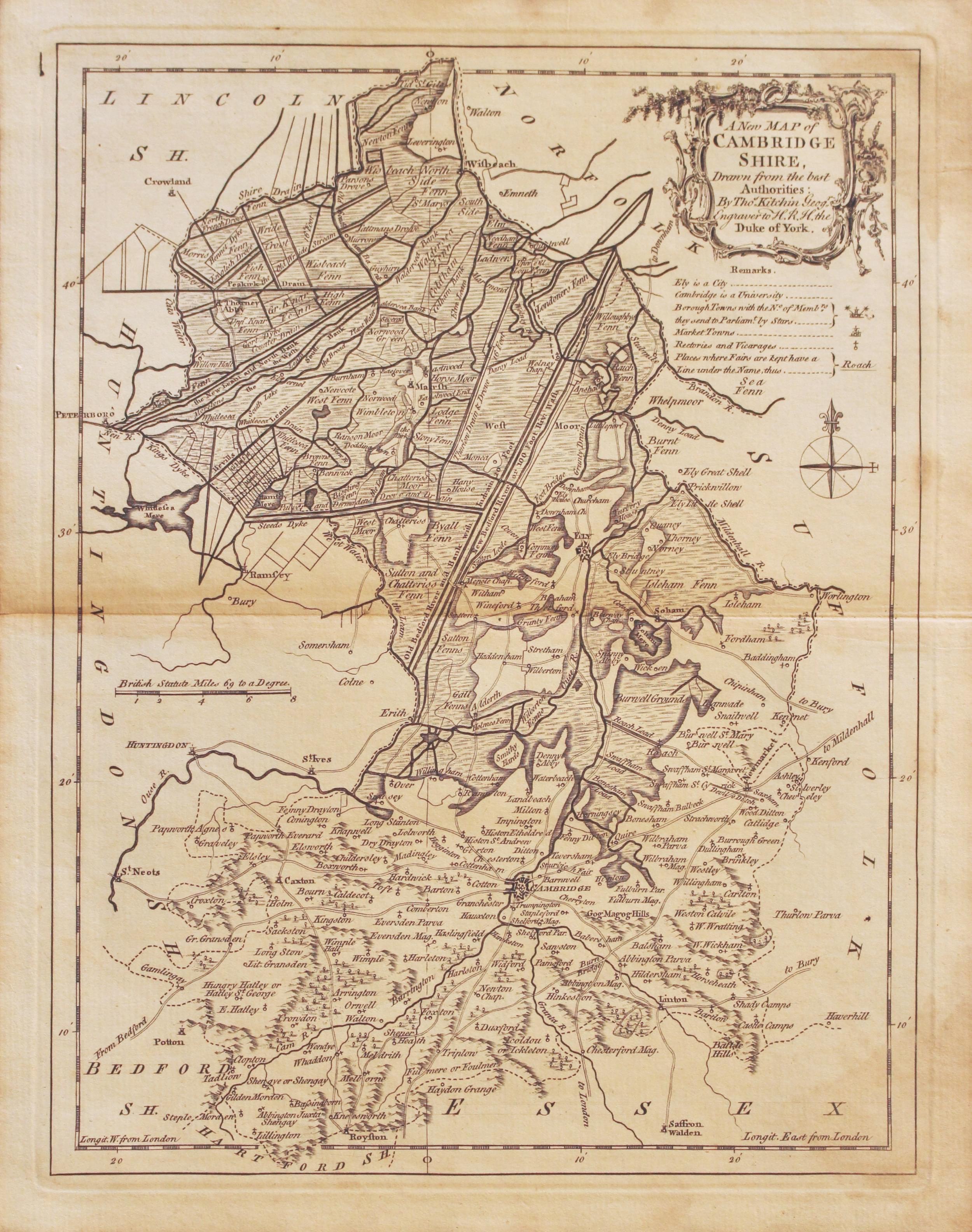
Map of Cambridgeshire, Thomas Kitchin 1768

27173 Cambridgeshire, Thomas Kitchin, 1768. Price: 33.00
A NEW MAP OF CAMBRIDGE SHIRE DRAWN FROM THE BEST AUTHORITIES BY THOS. KITCHIN GEOGT. ENGRAVER TO H.R.H. DUKE OF YORK
A good engraved 18th century map of the county embellished with a rococo title cartouche. Remarks, scale and compass. 7 3/4 x 10 inches. Uncoloured. Some light brown staining in the top and bottom left corners. Otherwise good condition. Original centre fold. Plain on verso.
From: Kitchin’s English Atlas
18th Century
-

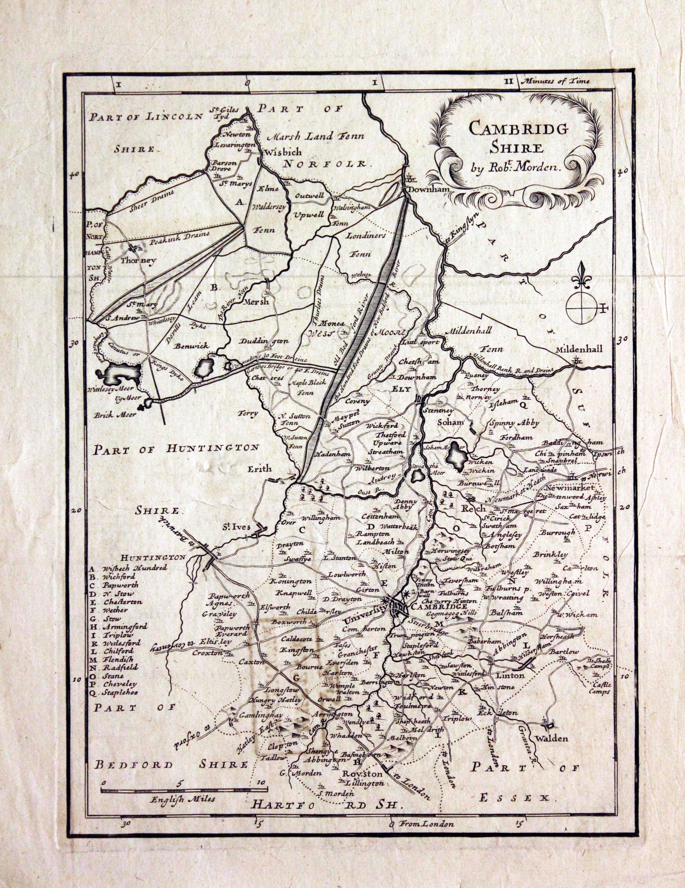
Cambridgeshire, Robert Morden, c.1720

29356 Cambridgeshire, Robert Morden, c.1720. Price: 46.00
CAMBRIDG SHIRE BY ROBT. MORDEN
Robert Morden's smaller map of the county. Decorative title cartouche. 6 1/2 x 8 1/4 inches. Uncoloured. Library stamp on vers "FH Museum Britannicum". Small split at the end of the fold and some light creasing. Otherwise good condition.
From: Thomas Cox's Magnae Britannia
19th Century
-
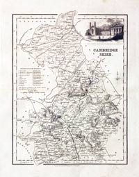
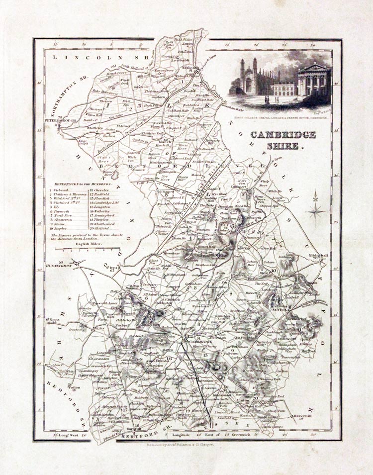
Cambridgeshire, Archibald Fullarton, c.1843

29689 Cambridgeshire, Archibald Fullarton, c.1843. Price: 29.00
CAMBRIDGESHIRE
A detailed engraved map of the county embellished with a vignette view of Kings College Chapel, Library & Senate House, Cambridge. Scale, compass pointer and list of hundreds. Uncoloured. Light toning and some very faint fox marks.
From: The Parliamentary Gazetteer
19th Century
-

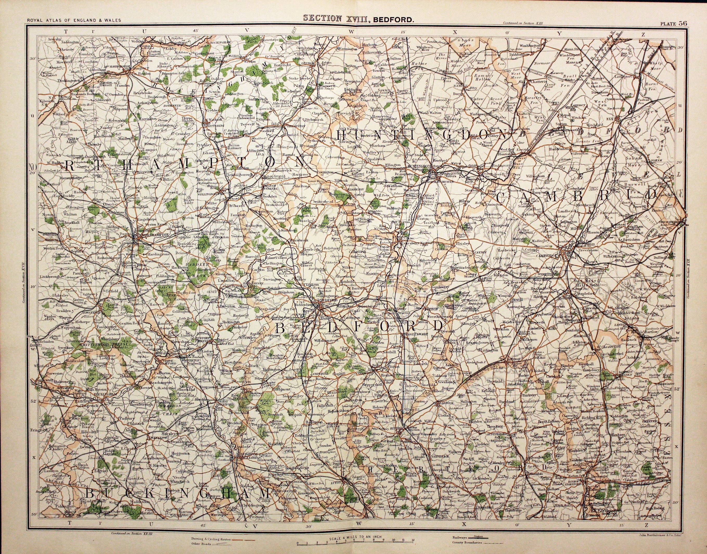
Bedfordshire, Cambridgeshire and Northamptonshire, John Bartholomew, c.1898

29859 Parts Bedfordshire, Cambridgeshire and Northamptonshire, John Bartholomew, c.1898. Price: 10.00
SECTION XVIII. BEDFORD
A colour printed map centred on Bedfordshire and including parts of Northamptonshire, Huntingdonshire and Cambridgeshire. Scale of 4 miles to the inch. Shows the railways. 16 1/2 x 12 1/2 inches. Good clean condition.
From: The Royal Atlas
19th Century - With Text
-

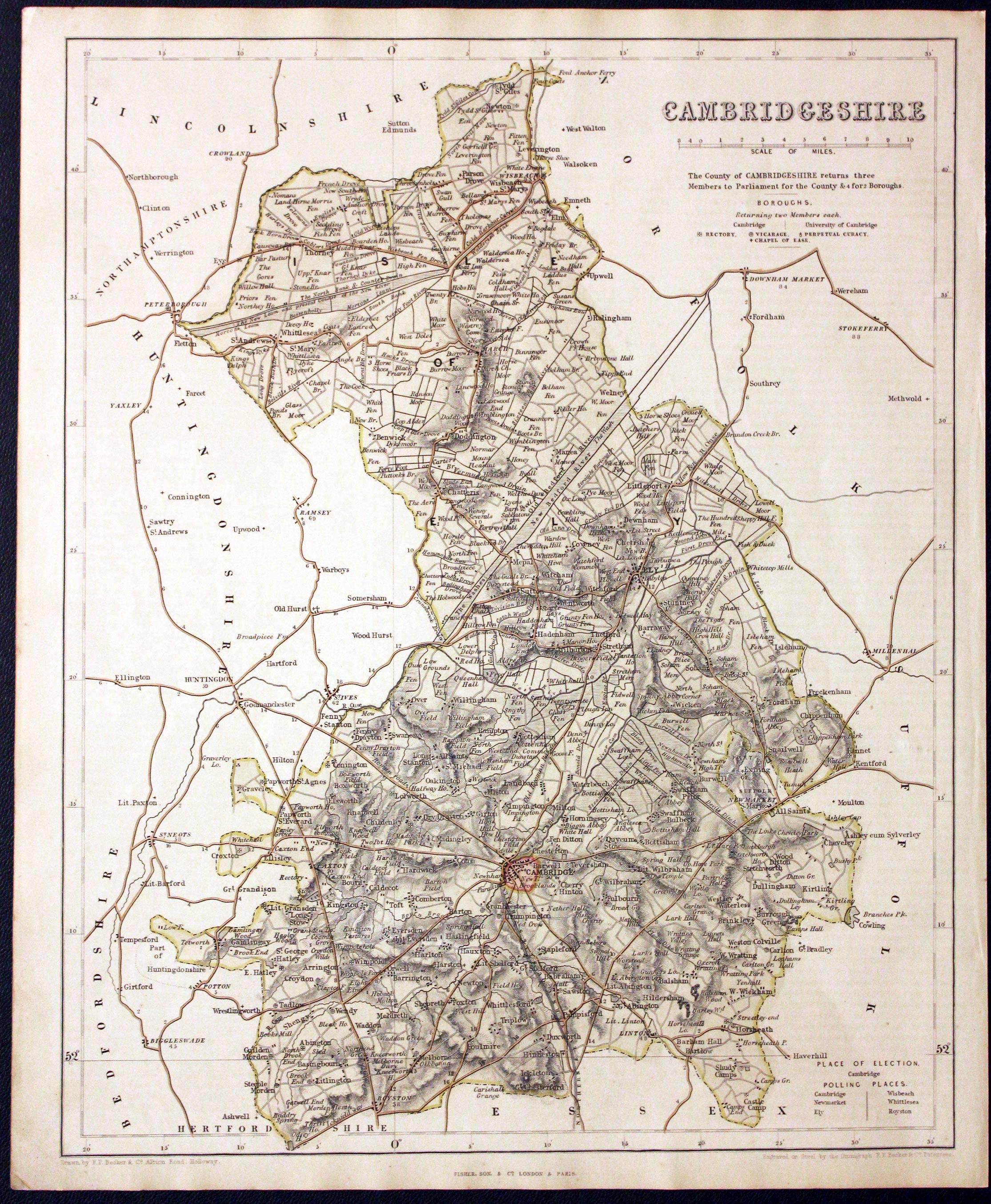
Map of Cambridgeshire by F. P. Becker c.1842

29932 Cambridgeshire, F. P. Becker & Co. c.1842. Price: 30.00
CAMBRIDGESHIRE
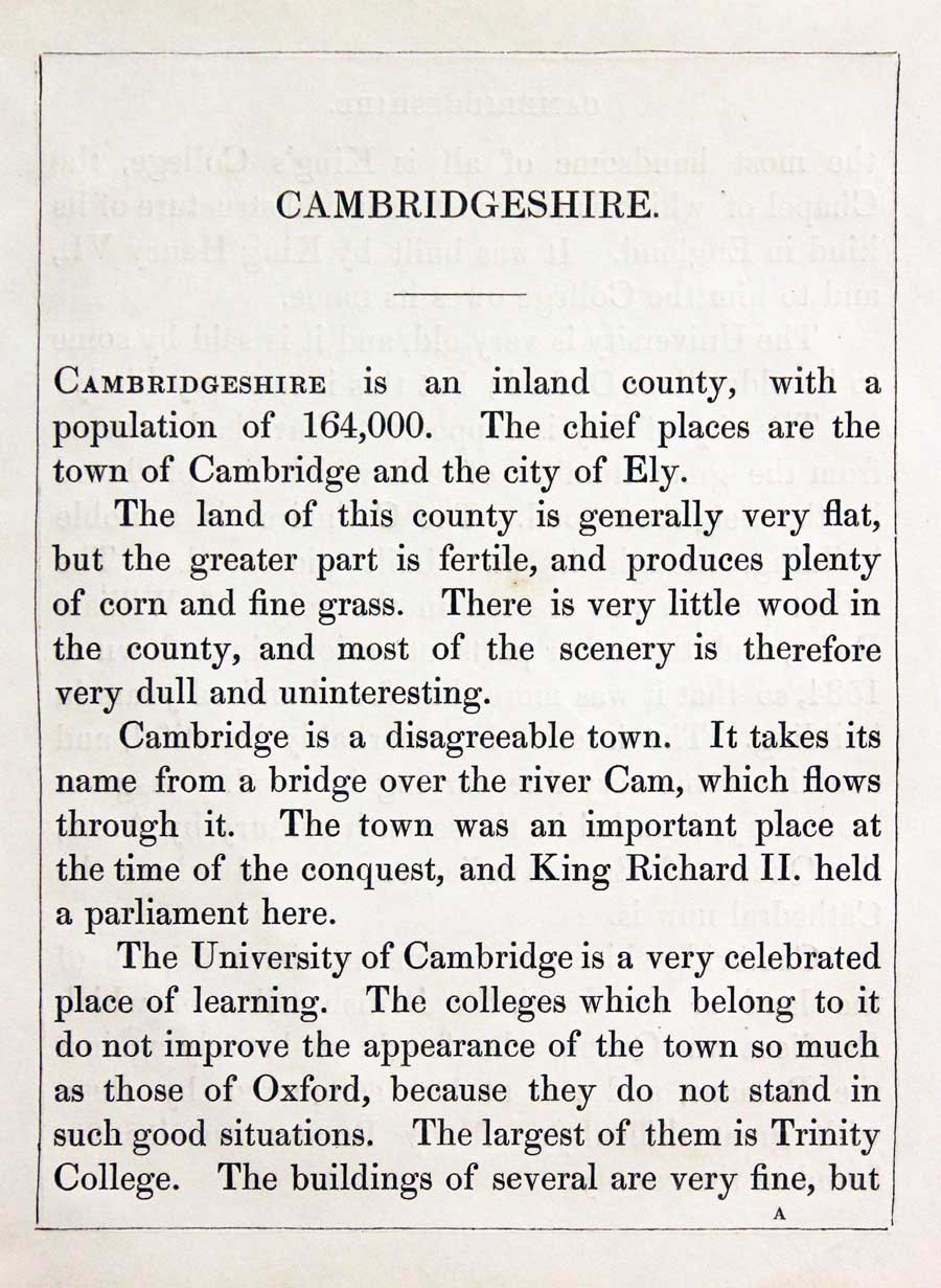
A clearly engraved map of the county. Drawn by F. P. Becker & Co. 12 Paternoster Row. Engraved on Steel by the Omnigraph, F. P Becker. 10 3/4 x 13 1/2 inches. Original outline and wash hand colouring. Good condition. With the map is the original double sided page of text describing the county. Good condition. This map has just been taken from the atlas and therefore not sold as a single map before.
From: Fishers County Atlas of England and Wales Compiled from Authentic Surveys and Corrected to the Present Time with Geographical and Statistical Description of each County.
19th Century - Early Hand Colouring
-

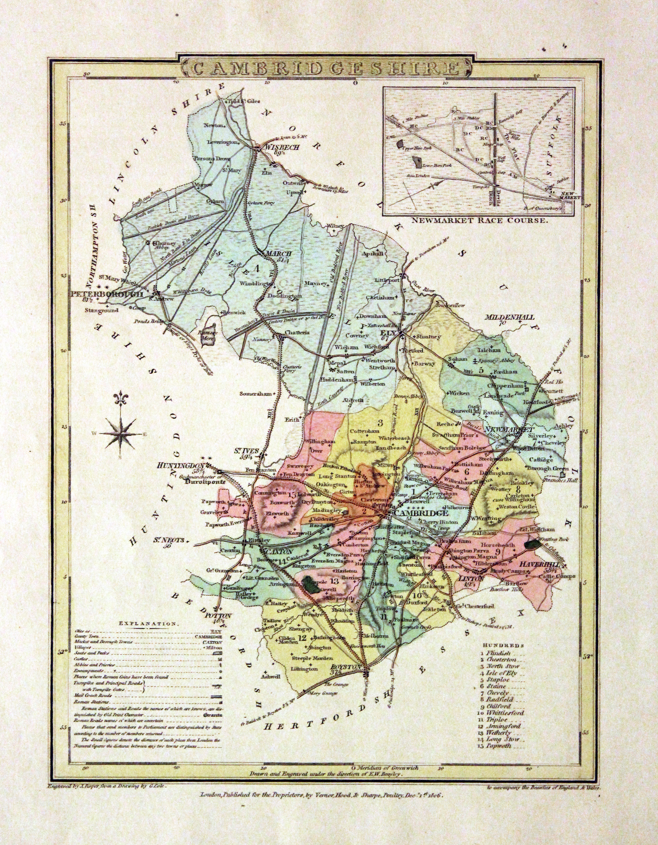
Map of Cambridgeshire John Cole and George Roper 1810

29991 Cambridgeshire, John Cole and George Roper, 1810. Price: 37.00
CAMBRIDGESHIRE
A detailed engraved map of the county with explanation and list of hundreds. Inset plan of Newmarket Racecourse. Publisher's imprint dated 1806. 6 x 9 inches, 175 x 230 mm. Early wash hand colouring. Straight from the atlas and not sold as a single map before. Fine clean crisp condition.
From: The British Atlas.
Early 19th Century - Original Hand Colouring
-

Map of Cambridgeshire John Cary 1793

30503 Cambridgeshire, George Cole and John Roper, 1810. Price: 39.00
CAMBRIDGESHIRE
A good detailed engraved map of the county divided into hundreds. Inset map of Newmarket Race Course. Bears the publishers imprint dated of 1804. Explanation. 7 x 9 1/4 inches. Original wash and outline hand colouring. Good condition. Straight from the atlas and not sold as a single map before. With original page of descriptive text.
From: The British Atlas
Early 19th Century - Original Hand Colouring
-

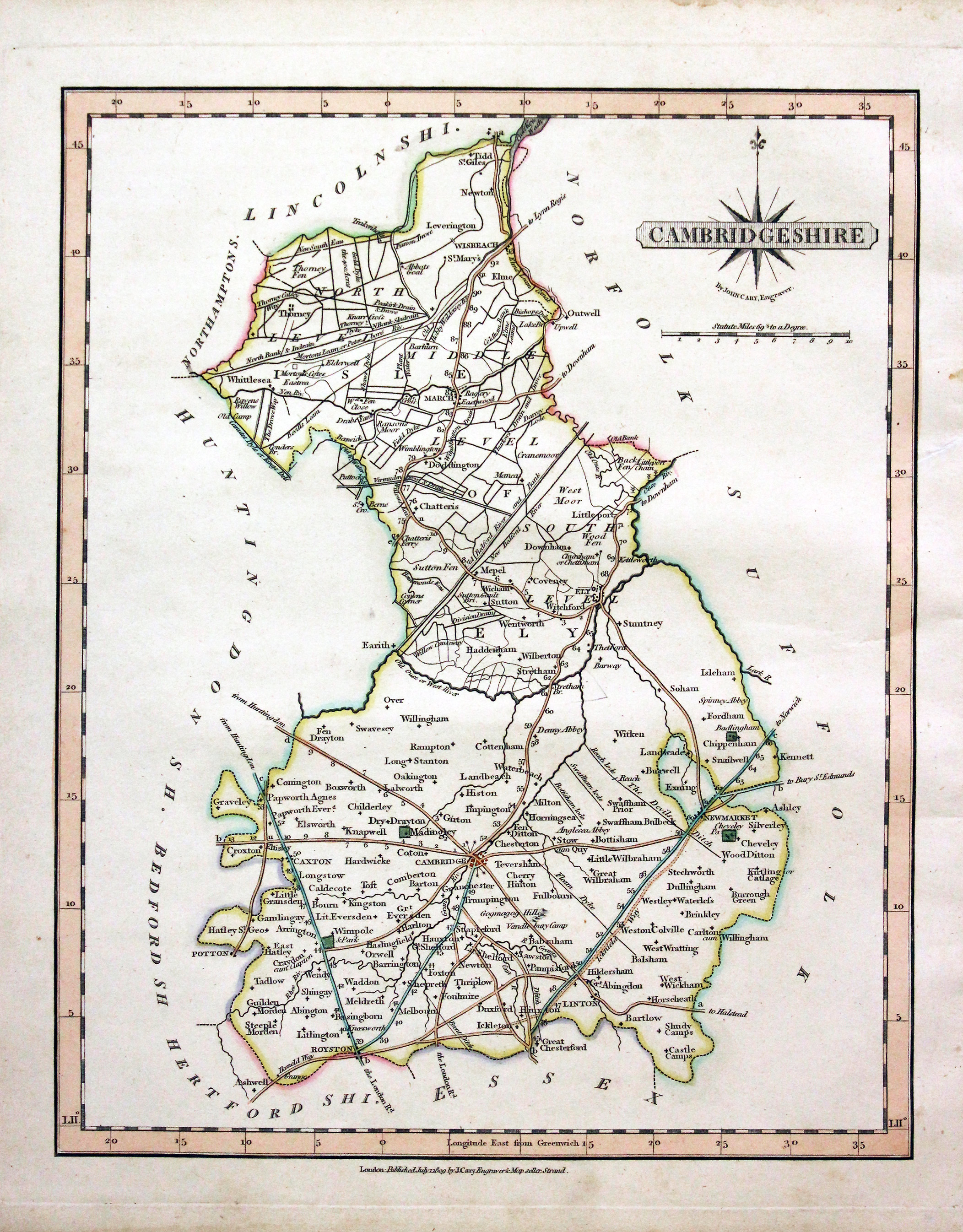
Map of Cambridgeshire by John Cary 1809

30695 Cambridgeshire, John Cary, 1809. Price: 46.00
CAMBRIDGESHIRE
A good engraved map of the county. Title panel with compass rose. Publisher’s imprint beneath dated 1809. 8 1/4 x 10 1/4 inches. Attractive original outline hand colouring. Good condition. With this map is the original page of descriptive text. Straight from the atlas and not sold as a single map before.
From: Cary's New and Correct English Atlas
19th Century - Early Hand Colouring
-

Map of Cambridgeshire by John Cary 1793

30976 Cambridgeshire, John Cary, 1809. Price: 44.00
CAMBRIDGESHIRE
A well engraved detailed map of the county with title panel and compass rose combined. Scale. Imprint of John Cary dated 1793. Centre fold. Old manuscript numbering in top blank margin 28 and 29. 8 1/4 x 10 1/4 inches. Original outline hand colouring. Good condition.
From: Cary's New and Correct English Atlas
18th Century - Original Hand Colouring
-

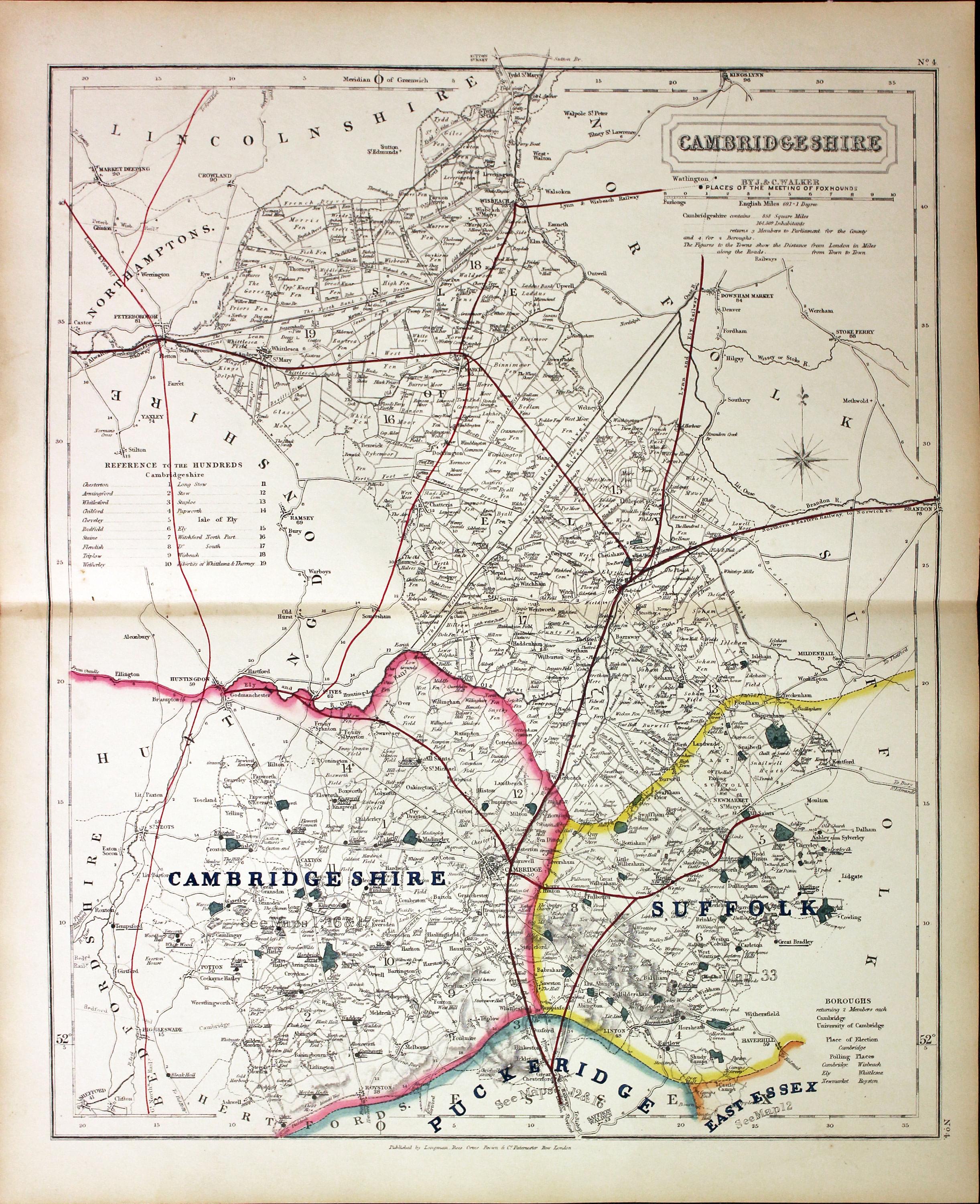
Fox Hunting map of Cambridgeshire by John and Charles Walker c.1851

31033 Cambridgeshire, John and Charles Walker, c.1851. Price: 45.00
CAMBRIDGESHIRE
A good detailed lithograph map of the county from Hobson's Fox Hunting Atlas showing the places of the Meeting of the Hounds. 12 1/2 x 15 1/2 inches. Original outline hand colouring. Fine condition. Straight from the atlas so has not been sold as a single map before.
Shows Cambridgeshire and parts of the Suffolk, Puckeridge and East Essex Hunts
For the Collector
-
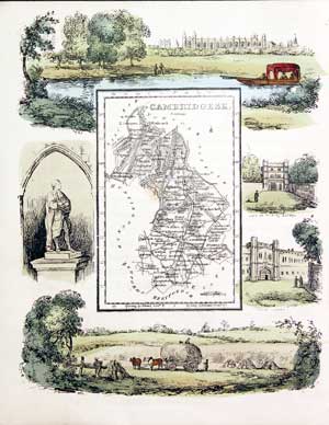
Cambridsgeshire by Reuben Ramble, 18844
-
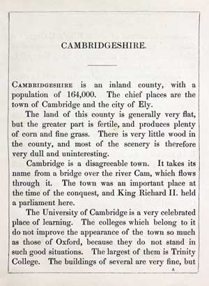
Text for Cambridsgeshire by Reuben Ramble, 18844
31365 Cambridgeshire, Reuben Ramble, 1844. Price: 72.00
CAMBRIDGESHIRE
An uncommon lithograph miniature map of the county surrounded by a wide border of vignette views of local scenes including King’s College, Trinity College, Christ Ciollege, Statue of Newton and Farming. The maps first appeared in Miller’s New Miniature Atlas published in 1810. The decorative views were added and the maps republished by Darton & Clark in “Reuben Ramble’s Travels Through the Counties of England” in 1844. 5 3/4 x 7 1/4 inches. This is the size of overall area and not the contained map. Original hand colouring. With this map is the original double sided page of text describing the county. Slight trimming on the left hand side with no blank margin.

For the Collector
-

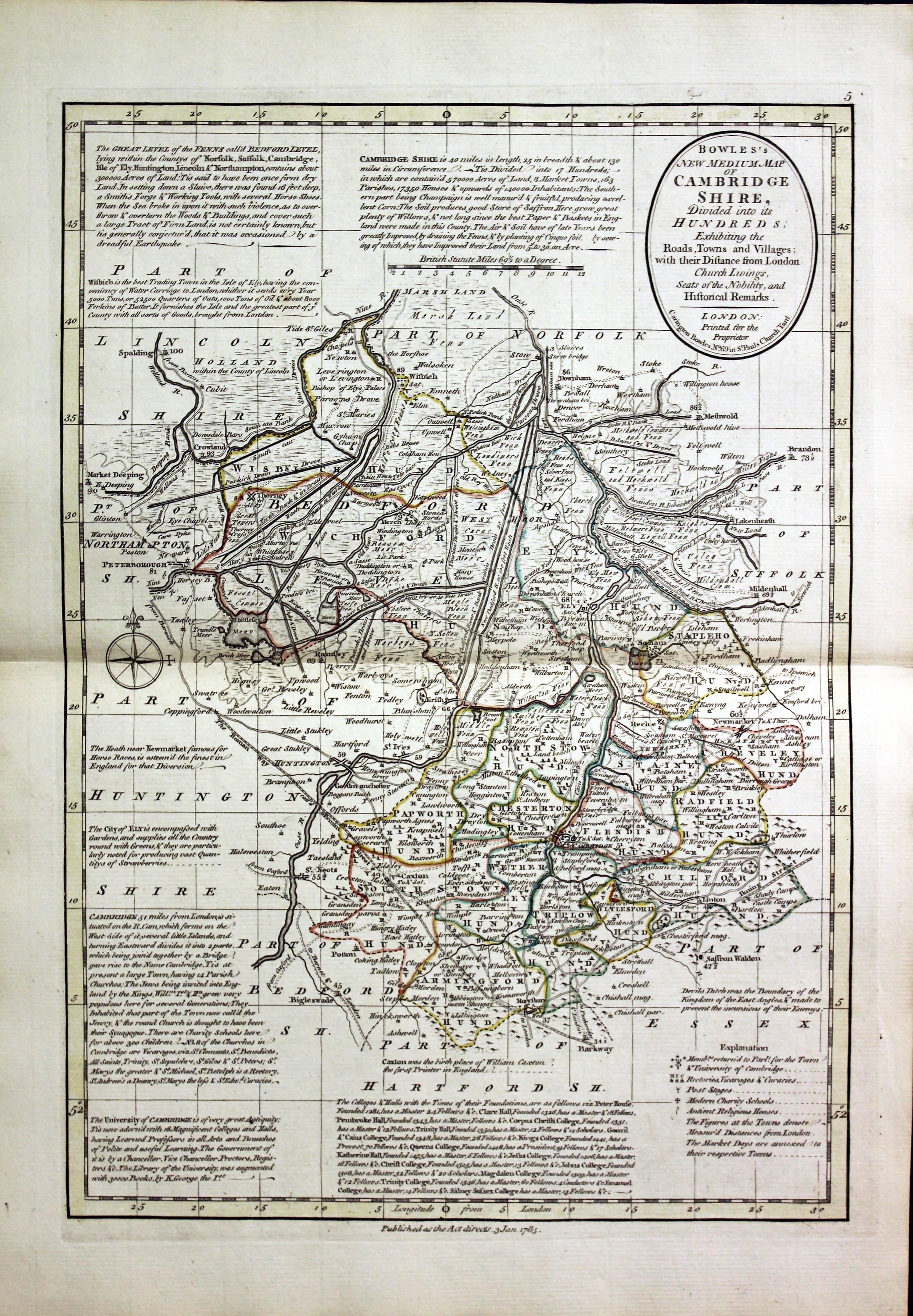
Cambridgeshire, Carington Bowles, 1785

31417 Cambridgeshire, Carington Bowles, 1785. Price: 145.00
BOWLES’S NEW MEDIUM MAP OF CAMBRIDGESHIRE DIVIDED INTO ITS HUNDREDS..
A good detailed late 18th century map of the county. The title appears within a circular panel bearing the imprint of Carington Bowles No. 69 in St. Paul’s Church Yard. Beneath the map is a further imprint Published as the Act directs, 3 Jan. 1785. Around the map are interesting engraved notes pertaining to the county. 12 1/2 x 8 3/4 inches. Explanation and scale. Original outline hand colouring. Superb clean condition having been taken straight from the atlas and not sold previously as a single map. From Bowles’s New Medium English Atlas. The maps in this atlas are based on the maps by Emanuel and Thomas Bowen in their Atlas Anglicanus. The title cartouche has been changed as well as the addition of the distance in miles from London shown by some town names.
PROVENANCE
-

Titlepage
-
Signature
-
Sir H. George Fordham
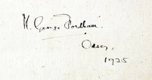
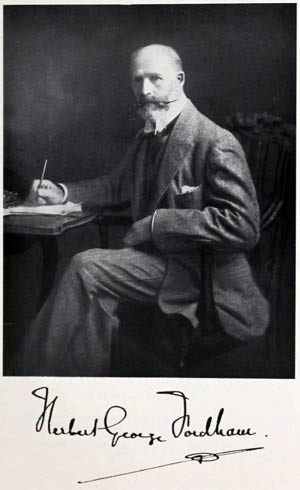
This map comes from an atlas which was once in the library of the renowned carto-bibliographer Sir Herbert George Fordham (1854 - 1929). He was the first to attempt the systematic cataloguing of the maps of an English county. Born on 9th May 1854 at Odsey, a manor on the borders of Hertfordshire and Cambridgeshire sold to the Fordham family in 1793 by the 5th Duke of Devonshire. The flyleaf of the atlas was signed H.George Fordham, Odsey, 1925. Further reading: Map Collectors' Circle No. 51: Sir H.George Fordham Carto-bibliographer by J. M. Henshall.
The atlas was later in the library of Professor Eva Germaine Remington Taylor (1879 - 1966) Distinguished geographer. Presented after her death to Birbeck College, University of London. Sold by their order at Sotheby's, London and purchased by Richard Nicholson
19th Century
-

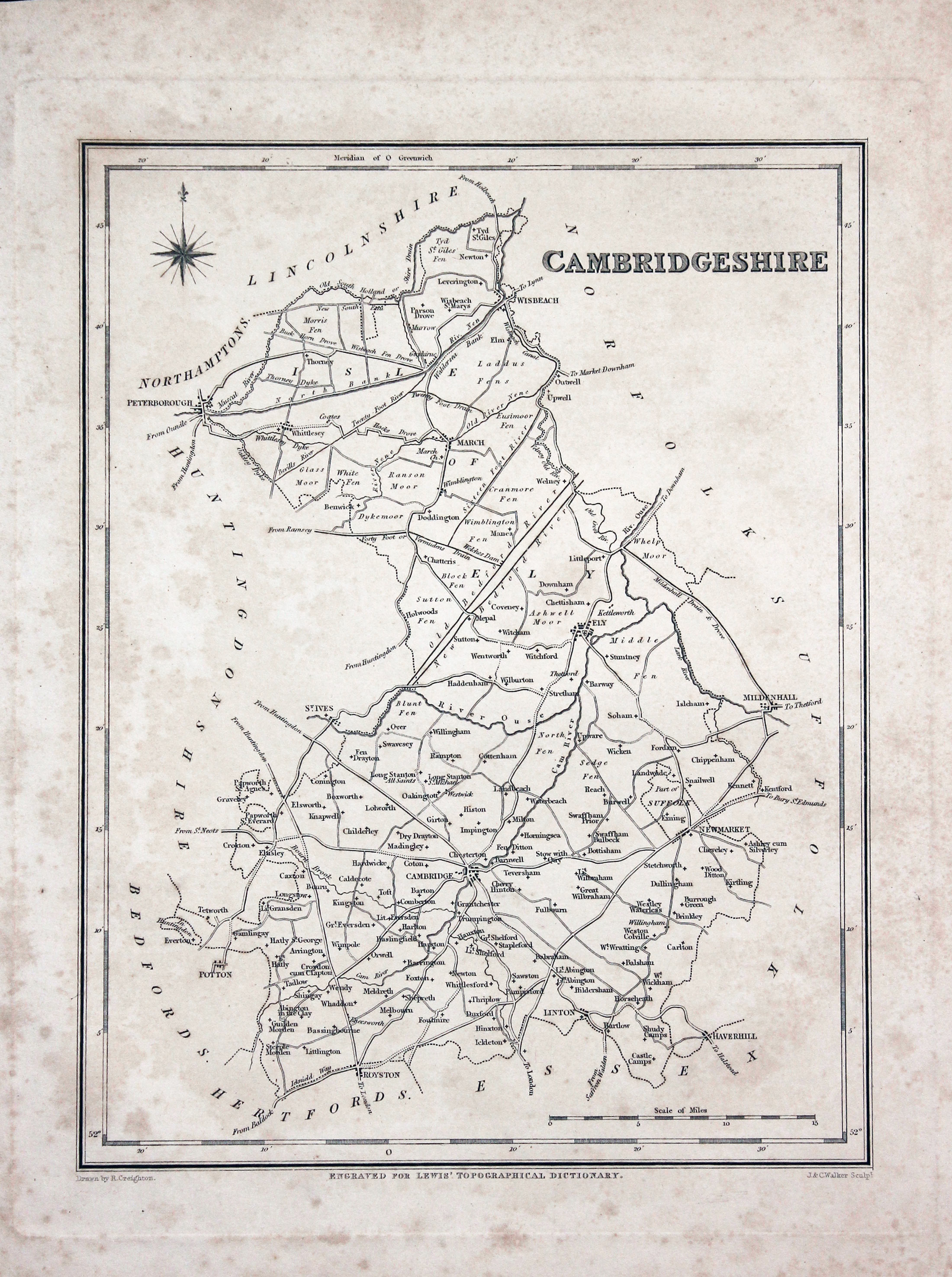
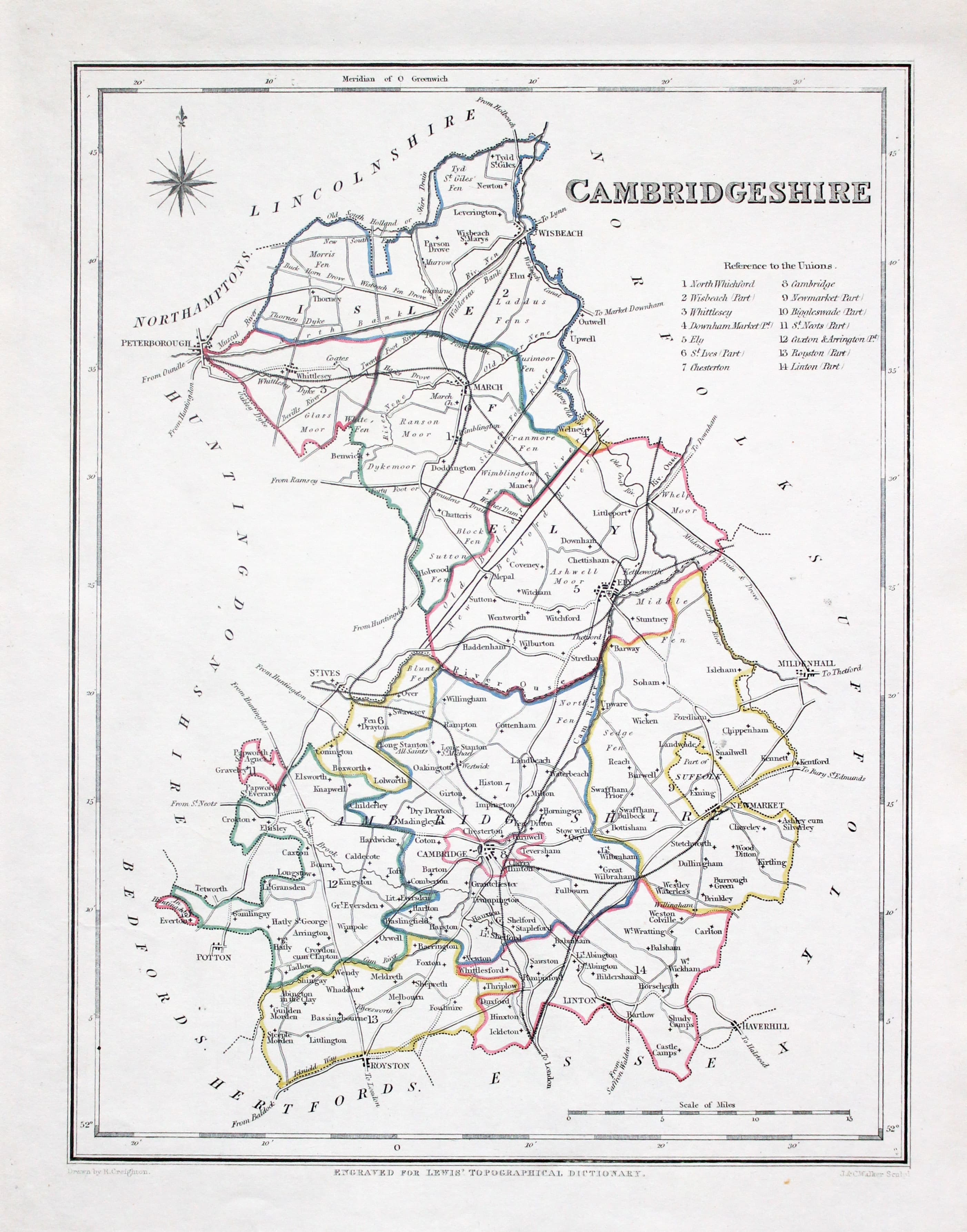
Cambridgeshire Samuel Lewis c.1845

32245 Cambridgeshire, Samuel Lewis, c.1845. Price: 9.00
CAMBRIDGESHIRE
A county map drawn by R. Creighton and engraved by J. & C. Walker. 6 3/4 x 9 inches. Uncoloured. Lightly foxed all over but no tears or repairs. Special price.
From: Lewis' Atlas to the Topographical Dictionaries of England and Wales
18th Century - County and Road Map
-
Map of Cambridgshire by John Owen and Emanuel Bowen 1753
-

Road map Hull to Flamborough Head in Yorkshire by John Owen and Emanuel Bowen 1753
32420 Cambridgeshire, John Owen and Emanuel Bowen, 1753. Price: 38.00
A MAP OF CAMBRIDGESHIRE
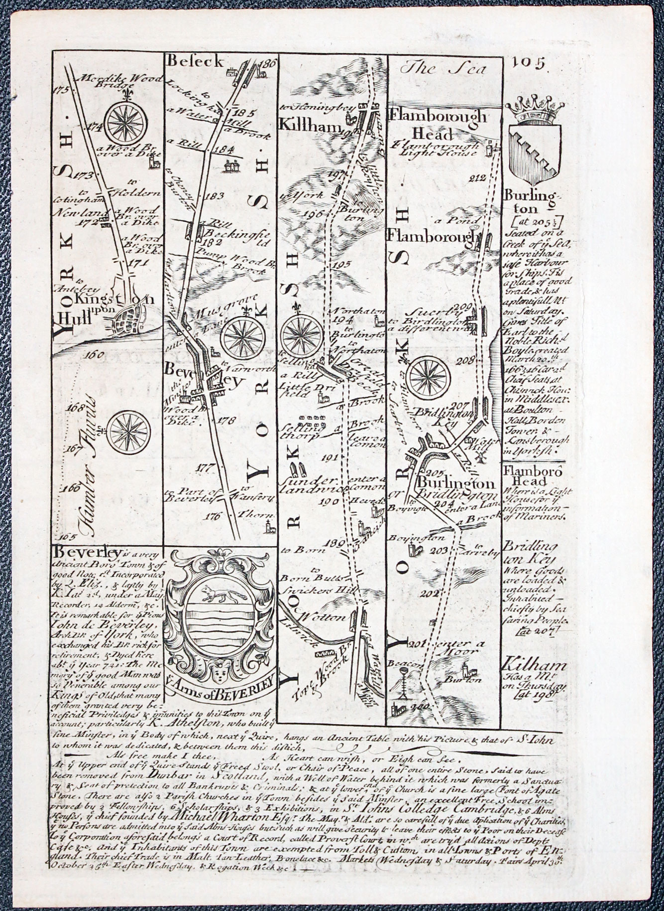
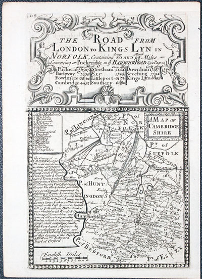
An engraved county map with title panel, description and list of hundreds. The map is surmounted by a decorative cartouche titled The Road from London to Kings Lyn in Norfolk. Road map on verso from Hull to Flamborough Head. 4 x 7 1/2 inches. Uncoloured. Good condition. This map has come straight from the atlas and not sold previously as a single map.
From: Britannia Depicta


PROVENANCE
At some time part of the Townsend Family library
19th Century
-

Map of Cambridgshire by George Washington Bacon 1883

32530 Cambridgeshire, George Washington Bacon, 1833. Price: 20.00
CAMBRIDGESHIRE REVISED FROM THE ORDNANCE SURVEY. DIVIDED INTO 5 MILE SQUARES
A good detailed late 19th century colour Lithograph map of the county.. Shows the railways. Original central fold. 12 x 18 inches. Good condition.
From: The New Ordnance Atlas of the British Isles
Early 17th Century
-

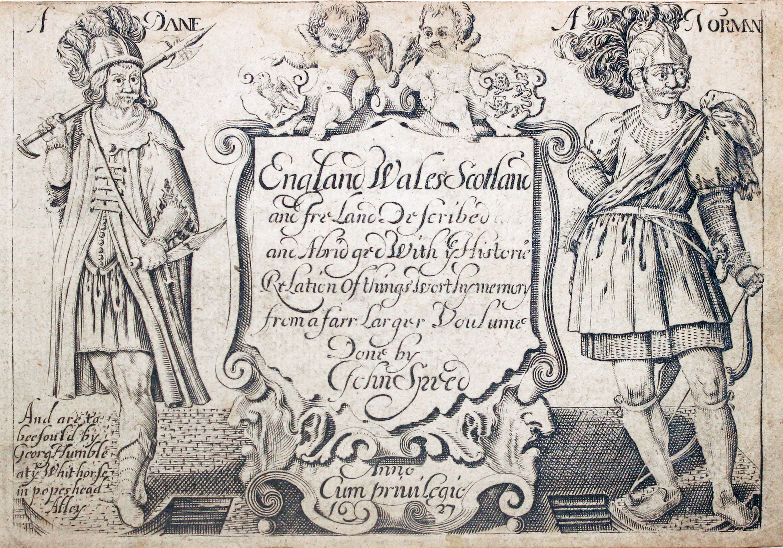
Cambridgeshire by Pieter van den Keere, c.1627

-
Pieter van den Keere Atlas Titlepage, c.1627
32632 Cambridgeshire, Pieter van den Keere, c.1627. Price: 85.00
CAMBRIDGESHIRE
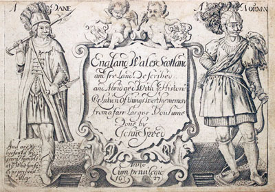
A early engraved miniature map of the county. Embellished with decorative cartouches which display the title and scale. Numbered 18. 4 3/4 x 3 1/4 inches. A good clean undamaged uncoloured specimen. On verso is the start of a description of Cambridgeshire. This continues on a double side page of text supplied with the map. With the map are the two additional double sided pages of text that complete the description. The final part of the description appears on the verso of the map of Hertfordshire. Straight from the atlas and not previously sold as a single map. The title page of the atlas is dated 1627
From England Wales Scotland and Ireland Described
19h Century - Early Hand Colouring
-

Map of Cambridgeshire by Samuel Lewis 1848

32895 Cambridgeshire, Samuel Lewis, 1848. Price: 27.00
CAMBRIDGESHIRE
A county map drawn by R. Creighton and engraved by J. & C. Walker. 6 3/4 x 9 inches. Original outline hand colouring. Good clean condition. Straight from the atlas and not sold as a single map before now.
From: Lewis' Atlas to the Topographical Dictionaries of England and Wales
19th Century
-

Map of Cambridgeshire by Thomas Letts

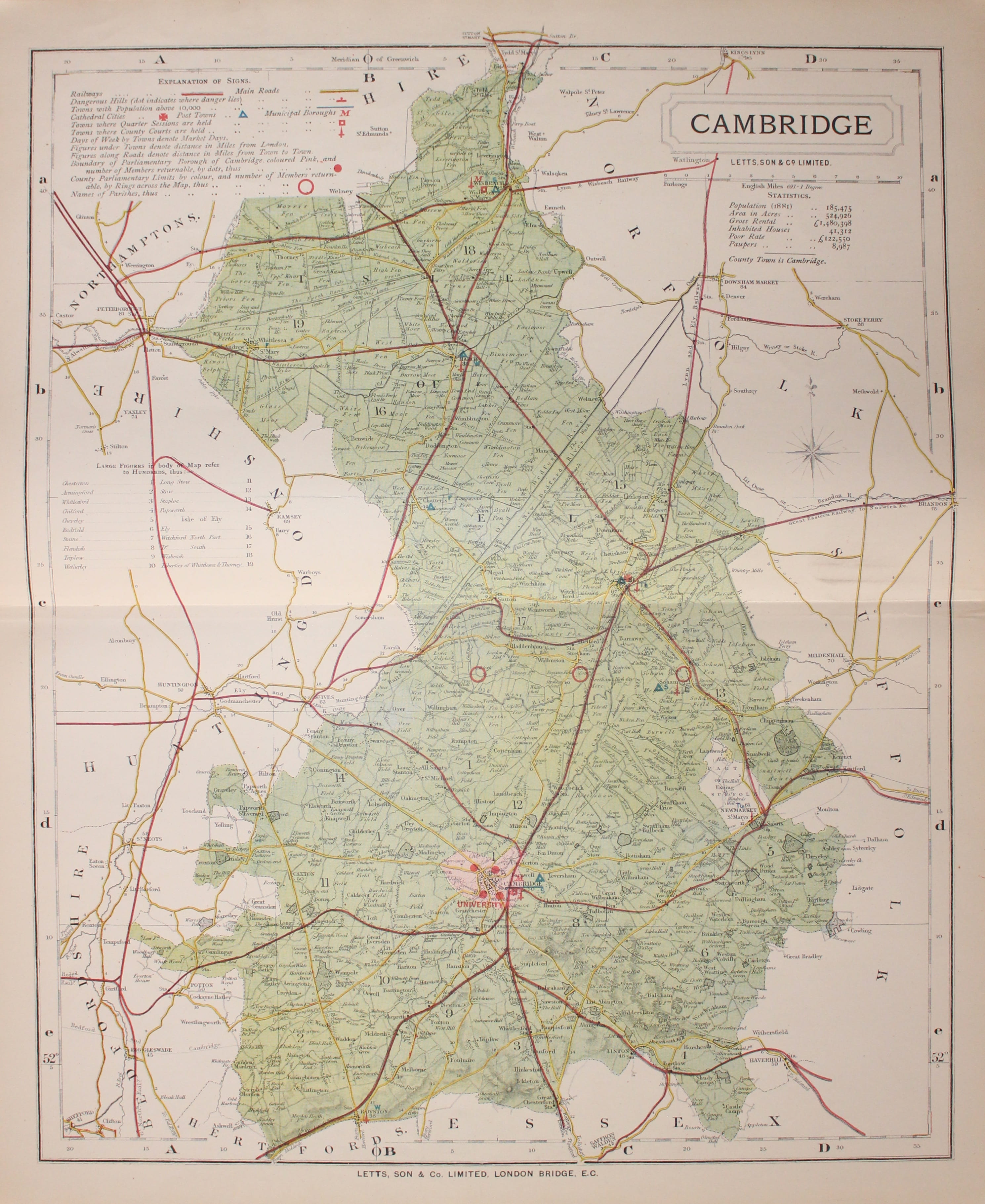
32958 Cambridgeshire, Thomas Letts, 1884. Price: 25.00
CAMBRIDGE
A detailed chromolithograph map of the county. Explanation plus statistics concerning Population, Area, Inhabited Houses, Poor Rate and Paupers. 12 3/4 x 15 3/4 inches. Original centre fold. Imprint of Letts & Son beneath. Fine clean condition. Straight from the atlas so never previously been sold as a single map.
From: Lett’s Popular County Atlas
Late 18th Century
-

Map of Cambridgeshire by Robert Morden 1695
33305 Cambridgeshire, Robert Morden, 1695. Price: 82.00
CAMBRIDGESHIRE
The FIRST EDITION of this good engraved map of the county embellished with a decorative title cartouche. Three scales. Publisher's imprint. 14 x 16 1/2 inches, 360 x 425 mm. Uncoloured. Original centre fold. 5 very small worm holes in the blank margin at one end of the centre fold otherwise good clean condition. The top and bottom blank margins are small which is very common with the first edition.
From: Camden's Britannia.
18th Century - First Edition
-

Cambridgeshire, Robert Morden 1695
33496 Cambridgeshire, Robert Morden 1695. Price: 89.00
CAMBRIDGE SHIRE BY ROBT. MORDEN
The FIRST EDITION of this good engraved map of the county embellished with a decorative title cartouche. Three scales. Imprint of the publishers Abel Swale with Awnsham and John Churchill. 14 x 16 3/4 inches. Original centre fold. Uncoloured. Some trimming to the top and bottom printed border which is fairly common with the first edition. This map has been taken straight from the atlas and therefore not previously offered for sale as a single map. One of the first maps of the county to show the main coach roads following Ogilby’s survey some 20 years earlier.
From: Camden's Britannia


