Antique Maps of Cornwall
Richard Nicholson of Chester
A World of Antique Maps and Prints
.......... Established in 1961 ..........
All the Maps on this page are guaranteed to be genuine early specimens
published in or around the year stated
Small Detailed Map of Cornwall
-

Cornwall by John Cary, 1792
32576 Cornwall, John Cary, 1792. Price: 14.00
CORNWALL
A small engraved map of the county. Tile panel surmounted by half compass rose. Panel at bottom with list of distances from London. Publisher’s imprint beneath dated 1792. 3 1/2 x 4 3/4 inches. Thin paper. Original outline hand colouring. Good condition.
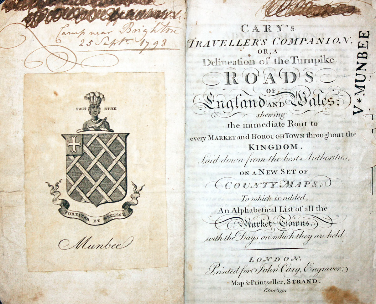
From: Cary’s Traveller’s Companion
Title page dated 1791, maps dated 1792. The atlas was formerly in the Mumbee family library - title page stamped V. Munbee
Provenance
-
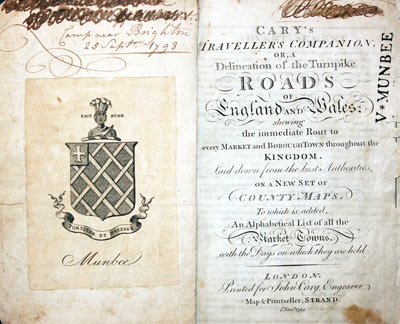
Cary Titlepage and Munbee Bookplate

Old Chart of Fowey in Cornwall
-

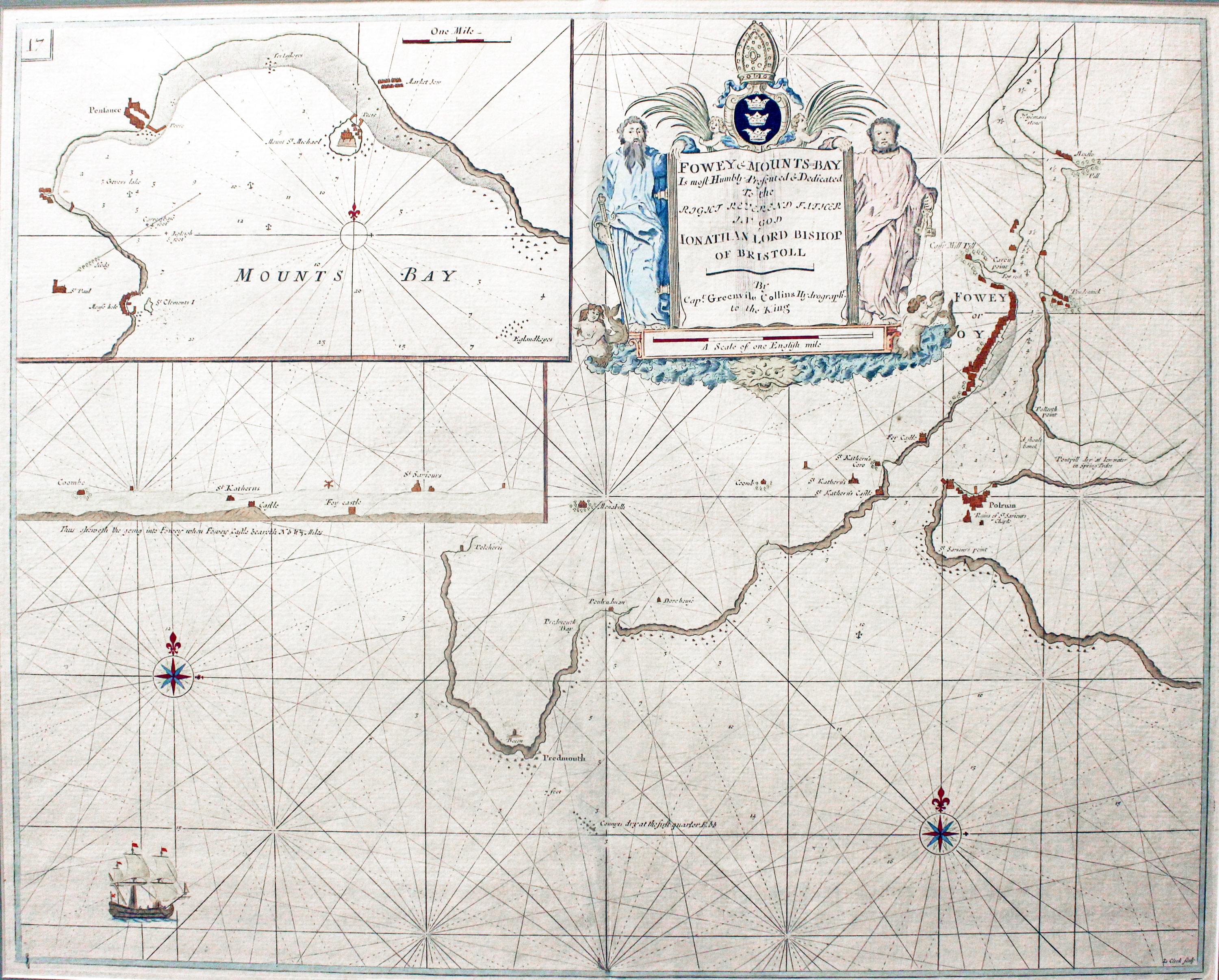
Chart of Fowey and Mounts Bay in Cornwall by Captain Greenville Collins 1764

32605 Fowey and Mounts Bay, Captain Greenville Collins, circa 1764. Price: 230.00
FOWEY & MOUNTS-BAY
A fine and impressive engraved chart of Fowey with an inset chart of Mounts Bay. Decorative cartouche displaying the title, scale and dedication. 22 x 17 inches. Attractive later hand colouring. Original centre fold. Good clean condition. From: Coasting Pilot.
This map was put into a 2 1/2 inch green sunk mount and framed some years ago in a rubbed gold moulding. The frame is still in reasonably good condiiton so the map is ready to hang.
Only available to customers who can collect from Christleton
18th Century County with Exeter & Tavistock Road Map
-
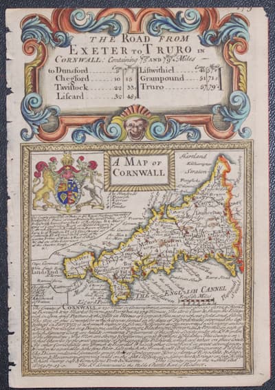
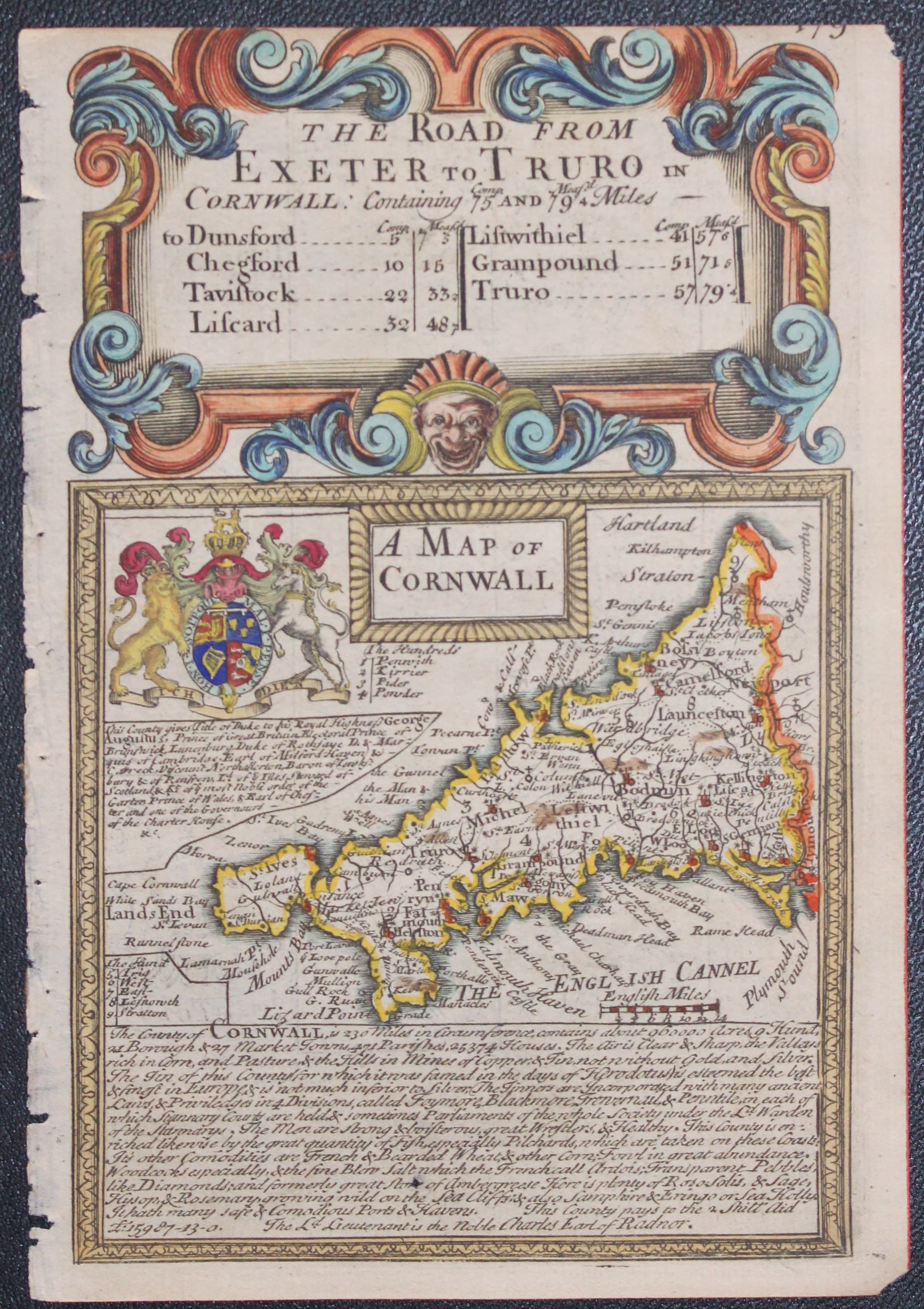
Map of Cornwall by John Owen and Emanuel Bowen c.1730
-

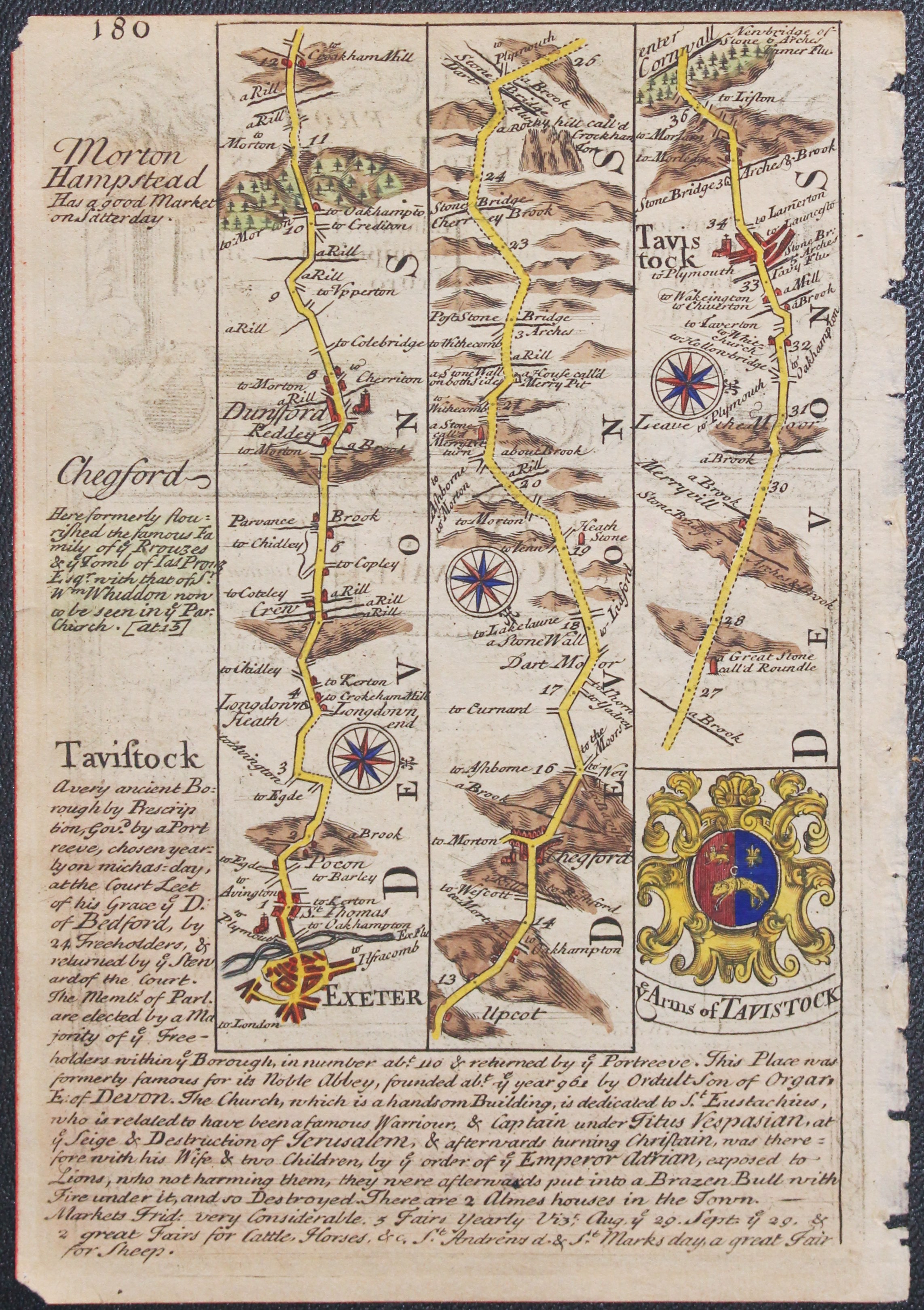
18th century road map Exeter t Tavistock
33175 Cornwall, John Owen and Emanuel Bowen, c.1730. Price: 55.00
A MAP OF CORNWALL.
A small engraved county map embellished with the royal arms. List of hundreds. Description beneath. The map is surmounted by a decorative baroque cartouche titled The Road from Exeter to Truro ... Strip road map on verso from Exeter to Tavistock with coat of arms and engraved notes. 4 1/2 x 7 inches. Hand coloured on both sides. Slight trimming to the top of the title cartouche. I have left the rough binding edge on the left of the map to allow a bit more room for a sunk mount to be dropped on the map.
From: Britannia Depicta

Description of Cornwall by William Camden - 1637
-

Northamptonshire text by William Camden 1637
33228 Cornwall, William Camden, 1637. Price: 11.00
CORNWALL
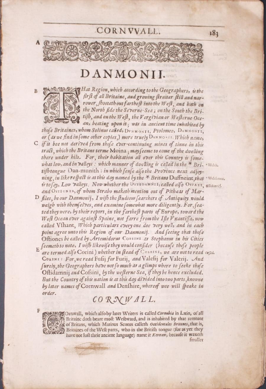
Pages 183 - 208 inclusive describing the county of Cornwall in English. About 13 x 8 inches. Good condition.
From Camden’s Britannia

Description of Cornwall by William Camden - 1637
-

Northamptonshire text by William Camden 1637
33228 Cornwall, William Camden, 1637. Price: 11.00
CORNWALL
Pages 183 - 208 inclusive describing the county of Cornwall in English. About 13 x 8 inches. Good condition.
From Camden’s Britannia

18th Century - First Edition
-

Cornwall, Robert Morden 1695
33478 Cornwall, Robert Morden 1695. Price: 130.00
CORNWALL BY ROBERT MORDEN
The FIRST EDITION of this good late 17th century engraved map of the county with a large decorative title cartouche. A panel displays a key listing 29 places of interest. Explanation of symbols used. 16 1/2 x 14 inches, 425 x 360 mm. Uncoloured. Small blank side margins which is fairly common with the first edition. A few nicks around the out edge otherwise condition. This map has been taken straight from the atlas and therefore not previously offered for sale as a single map. One of the first maps of the county to show the main coach roads following Ogilby’s survey some 20 years earlier.
From: Camden's Britannia
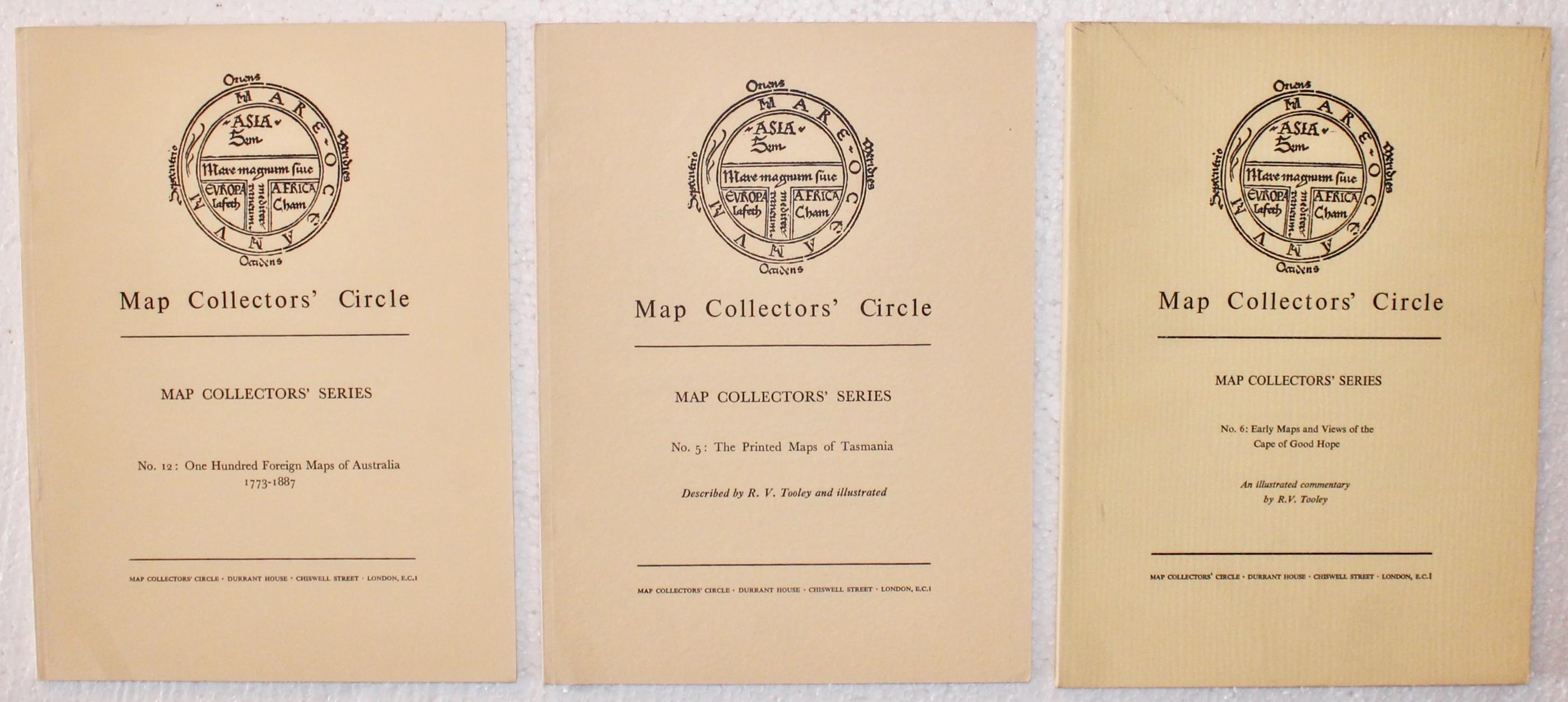
33206 Map Collector’s Circle No. 3. Price: 16.00
Map Collectors' Series No. 3: The Isle of Scilly By Margaret Palmer
London: The Map Collectors' Circle, Softcover. Cream wraps, 16 pp. 8 black and white plates. Good clean condition.
Amazing book for the collector of maps of Cornwall but equally enthralling to all British county map collectors

First published in 1966 as one of the first such books to consider the maps of a specific county in terms of mapping history: this new 2nd edition retains the emphasis and principles of the first edition. The sections have been extended on contributing map makers from the end of the 16th Century to the mid 19th Century where decorative maps decline and are superseded by the cleaner lines of the Ordnance Survey.
The maps shown in this new edition come from a number of sources. They have been selected in order to give a story both over the span of these maps as they are drawn and also an analysis of how they reflect the history of cartography in the terms of the county of Cornwall.
The process of creating maps evolved at a stunning rate in the 280 years covered here and we have endeavoured to provide the reader with some analysis between maps as well as versions of the same map. Maps depict the lay of the land: there are instances where amendments to maps show changes in the physical geography on the ground thus fulfilling the role of the geographer and his map. This is the accurate depiction on paper of observed elements in the field.
In addition to the maps of Cornwall are charts generated for navigation of the treacherous seas around the Isles of Scilly. These notorious shores have proven fatal and the need for accurate maps around the coast drove some of the earliest maps of the area.
Presented with many full colour illustrations and extensively expanded from the 1966 edition, this book will aid the budding collector, as well as console the exile and, we hope, will be of interest to anyone keen in the mapped history of Cornwall.
The information concerning the cartographers applies to many of the British counties, so is an important and of interest to so many more collectors

