Antique Maps of Cumberland
Richard Nicholson of Chester
A World of Antique Maps and Prints
Established in 1961
All the Maps on this page are guaranteed to be genuine early specimens
published in or around the year stated
19th Century - Early Hand Colouring
-

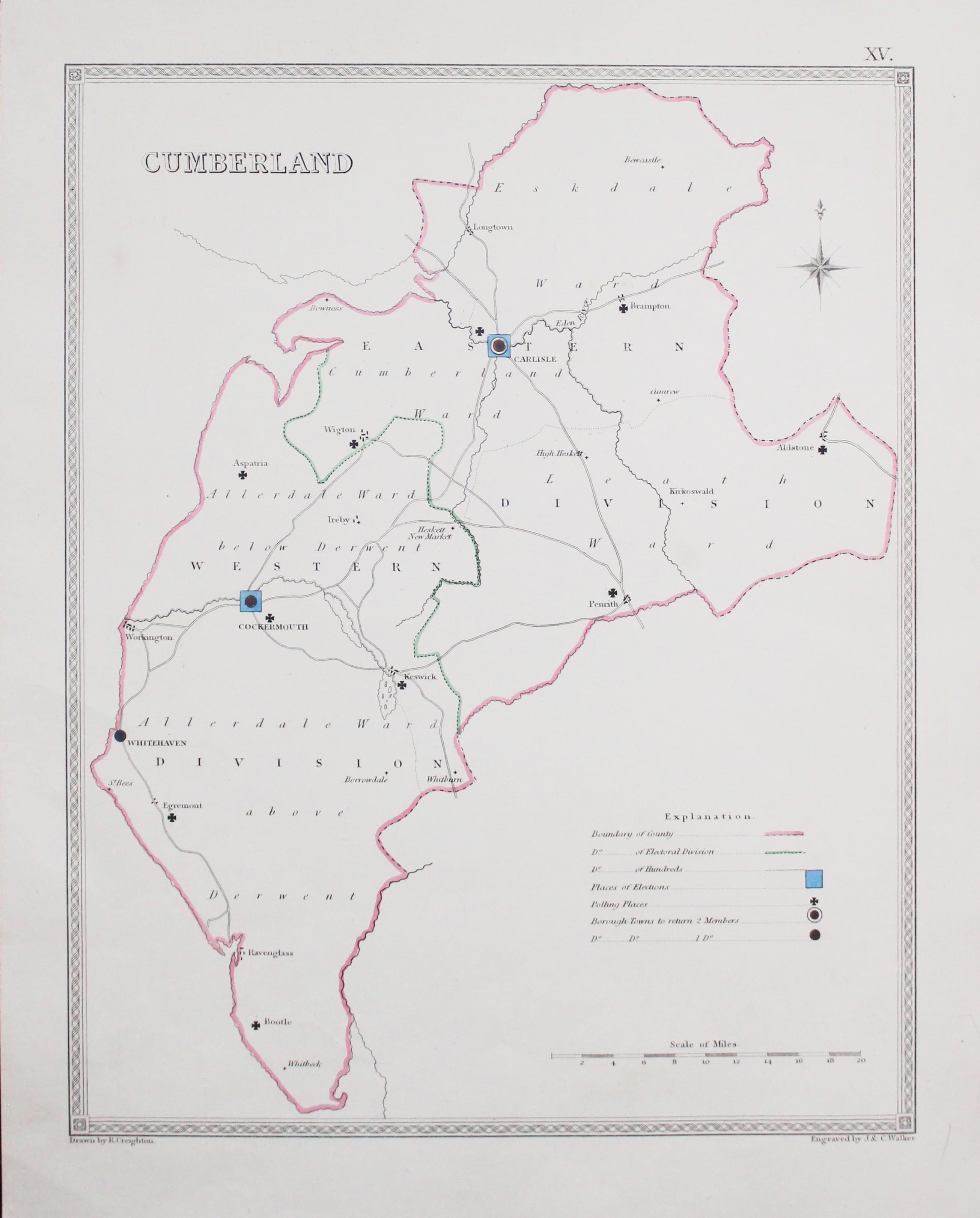
Cumberland Electoral Divisions, Samuel Lewis, c.1835

7651 Cumberland, Samuel Lewis, c.1835. Price: 18.00
CUMBERLAND
A map of the county with not a lot of place names as its main function is to show the electoral divisions of the county with polling places. The key is provided in the explanation. Drawn by R. Creighton and engraved by J. & C. Walker. 8 x 10 inches. Original outline hand colouring. Good clean undamaged condition.
19th Century
-

Map of Cornwall by Thomas Letts 1884

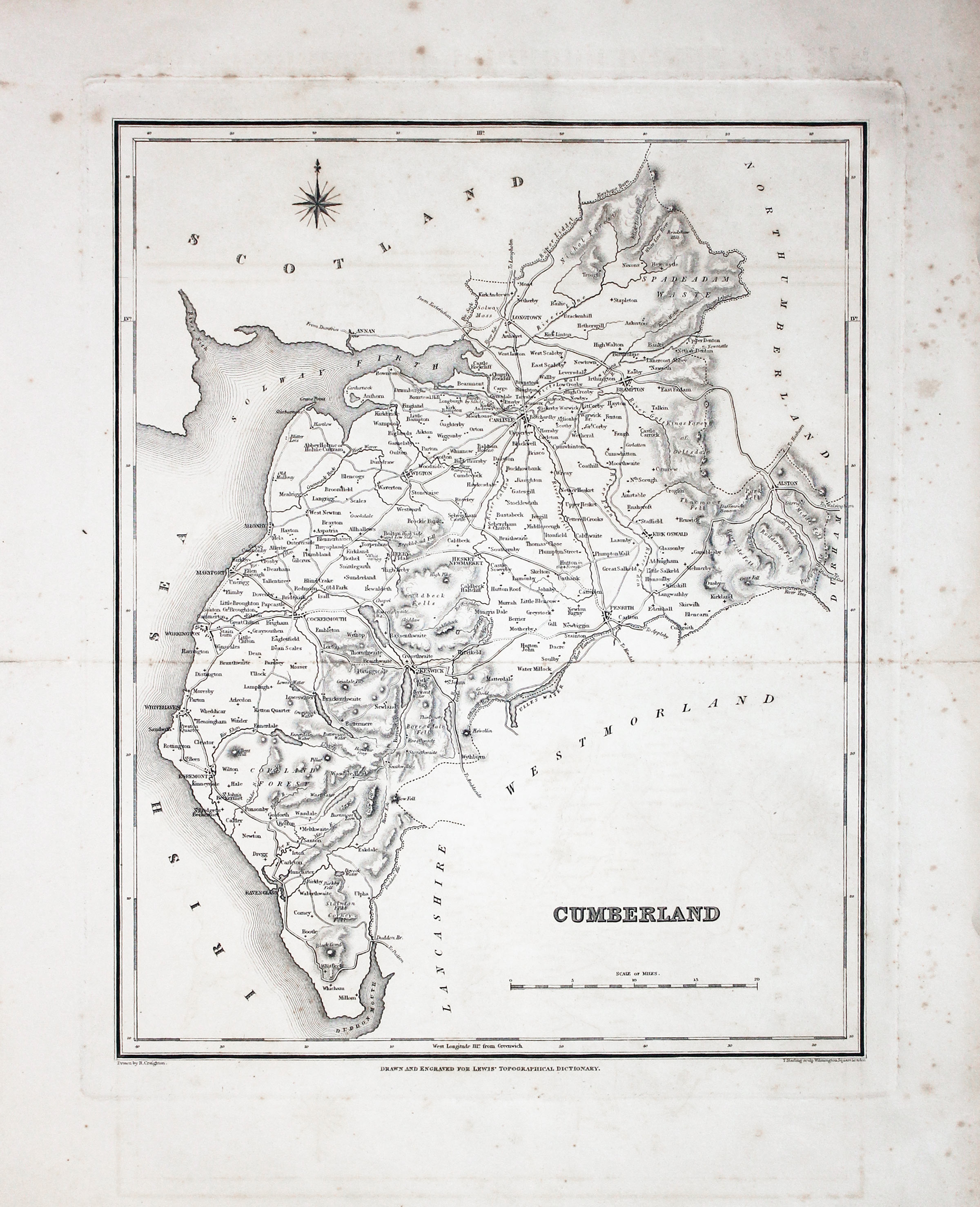
27394 Cumberland, Samuel Lewis, c.1835. Price: 12.50
CUMBERLAND
A map of the county drawn by R. Creighton and engraved by T. Starling. List of Unions, scale and compass rose. 9 x 11 1/2 inches. Uncoloured. Some light foxing imainly in the blank margins and along the fold lines otherwise good condition.
From: Lewis’ Topographical Dictionary
19th Century
-

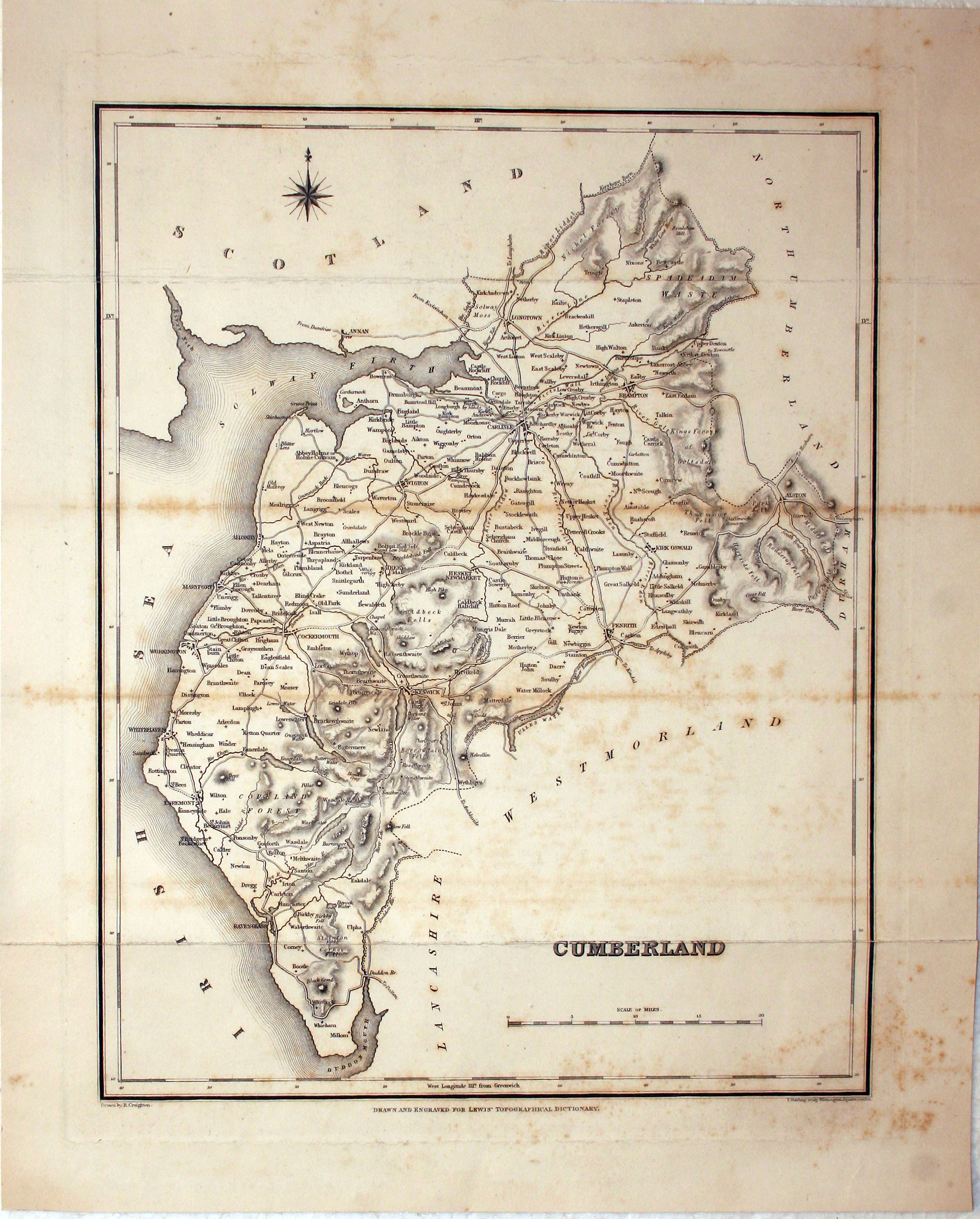
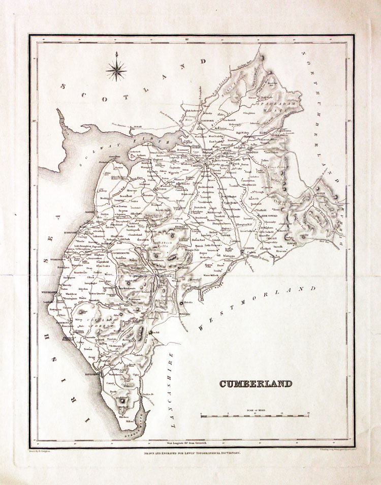
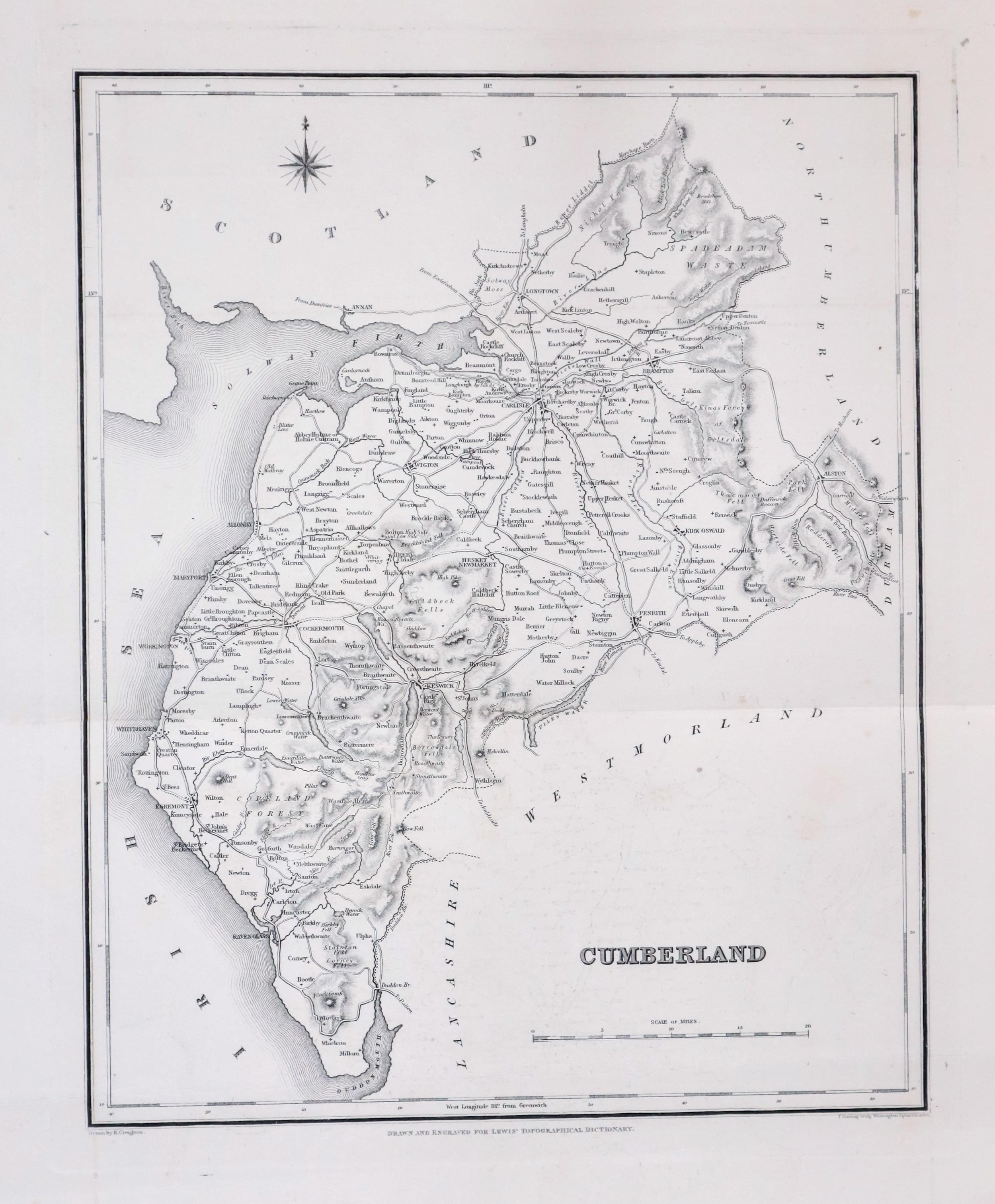
Cumberland, Samuel Lewis, c.1835

27395 Cumberland, Samuel Lewis, c.1835. Price: 14.00
CUMBERLAND
A map of the county drawn by R. Creighton and engraved by T. Starling. Scale and compass rose. 9 x 11 1/2 inches. Uncoloured. Original centre fold. Some light scattered foxing. Small slit at one end of the centre fold. Otherwise good condition.
From: Lewis’ Topographical Dictionary
19th Century
-
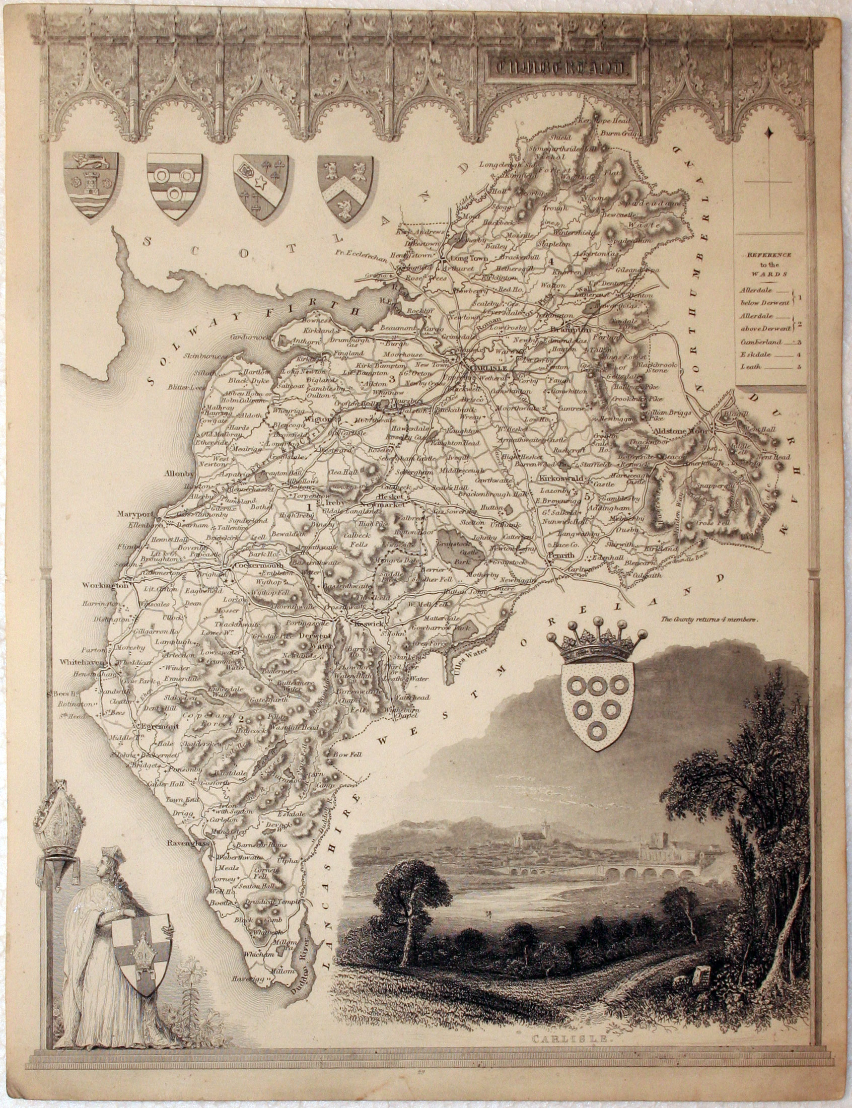
Cumberland, Thomas Moule, c.1850

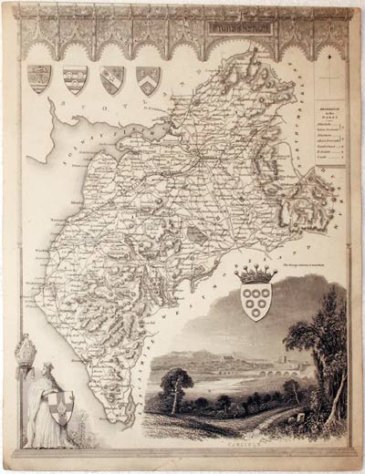
28871 Cumberland, Thomas Moule, c.1850. Price: 33.00
CUMBERLAND
A decorative early Victorian map of the county showing the railways. The map is embellished with a large vignette view of Carlisle, figure with a shield and five coats of arms. Gothic pillars and arches frame the map. 7 1/2 x 10 inches. Uncoloured. Little to no top blank margin which is common with this map. Otherwise good condition.
From: Barclay’s Dictionary
19th Century
-

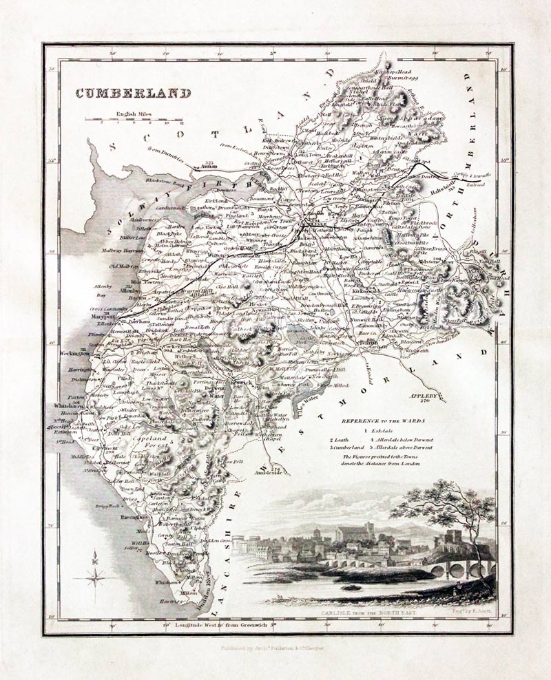
Cumberland, Archibald Fullarton, c.1843

29680 Cumberland, Archibald Fullarton, c.1843. Price: 36.00
CUMBERLAND
A detailed engraved map of the county embellished with a vignette view of Carlisle from the North East. Scale and list of hundreds. 7 1/4 x 9 1/4 inches. Uncoloured. Some light toning but otherwise good condition.
From: The Parliamentary Gazetteer
19th Century
-

Cumberland, Samuel Lewis, c.1835

29869 Cumberland, Samuel Lewis, c.1835. Price: 9.00
CUMBERLAND
A map of the county drawn by R. Creighton and engraved by T. Starling. List of Unions, scale and compass rose. 9 x 11 1/2 inches. Uncoloured. Long slit in the centre fold otherwise good condition.
From: Lewis’ Topographical Dictionary
Early 19th Century - Original Hand Colouring
-

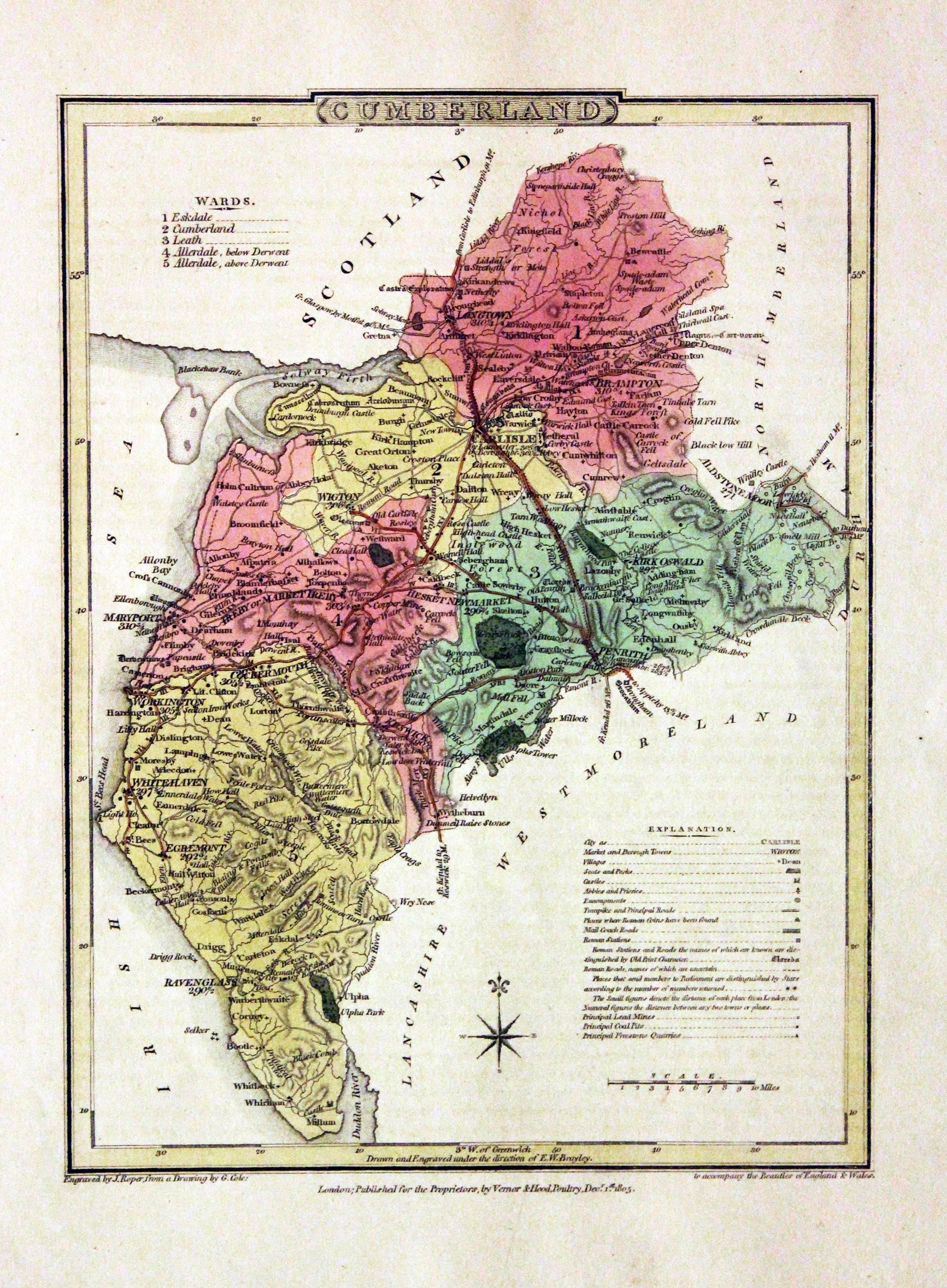
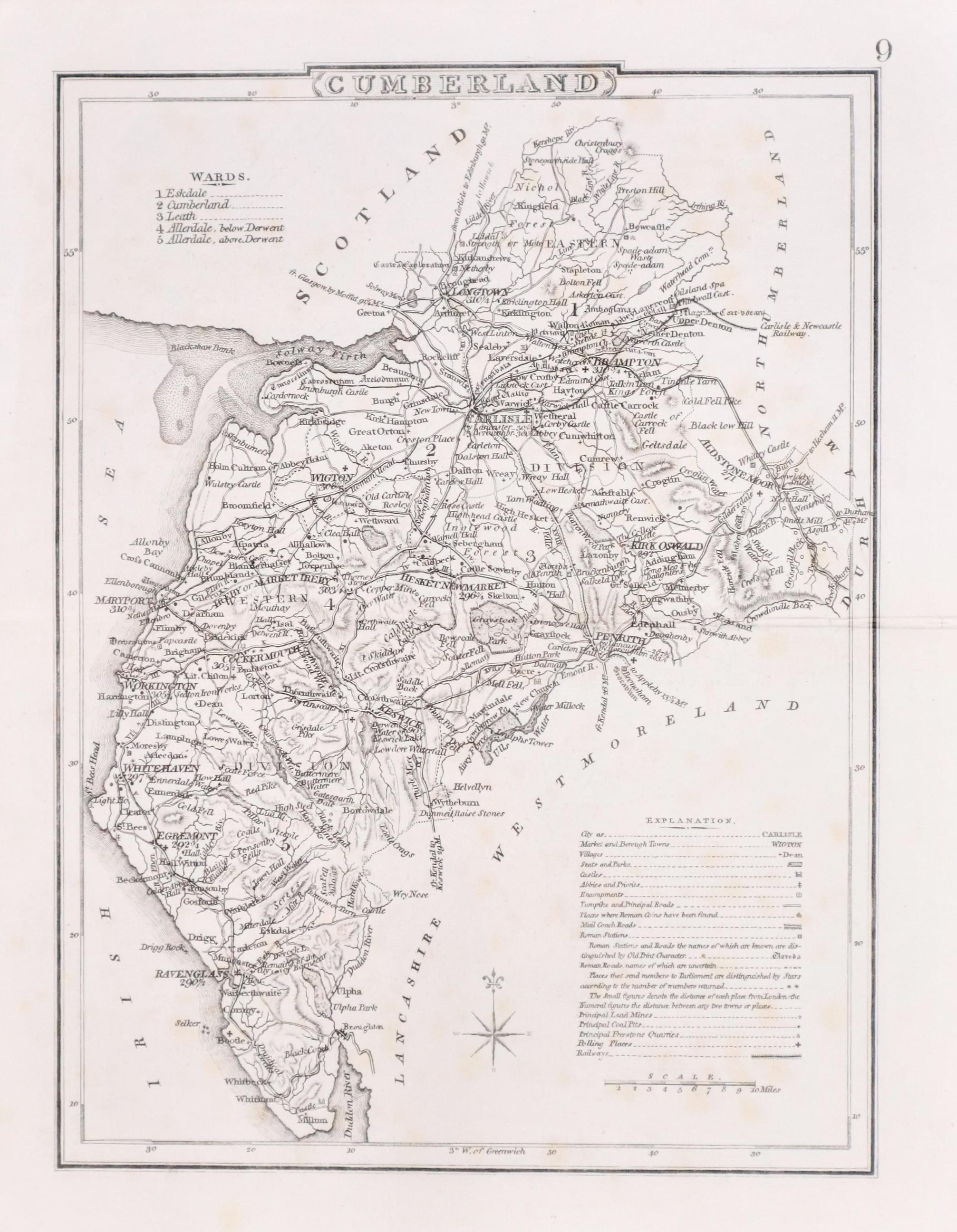
Cumberland, George Cole and John Roper, 1810

30506 Cumberland, George Cole and John Roper, 1810. Price: 39.00
CUMBERLAND
A good detailed engraved map of the county divided into wards. Bears the publishers imprint dated of 1805. Explanation. 7 x 9 1/4 inches. Original wash and outline hand colouring. Good condition. Straight from the atlas and not sold as a single map before. With original page of descriptive text.
From: The British Atlas
Late 19th Century
-

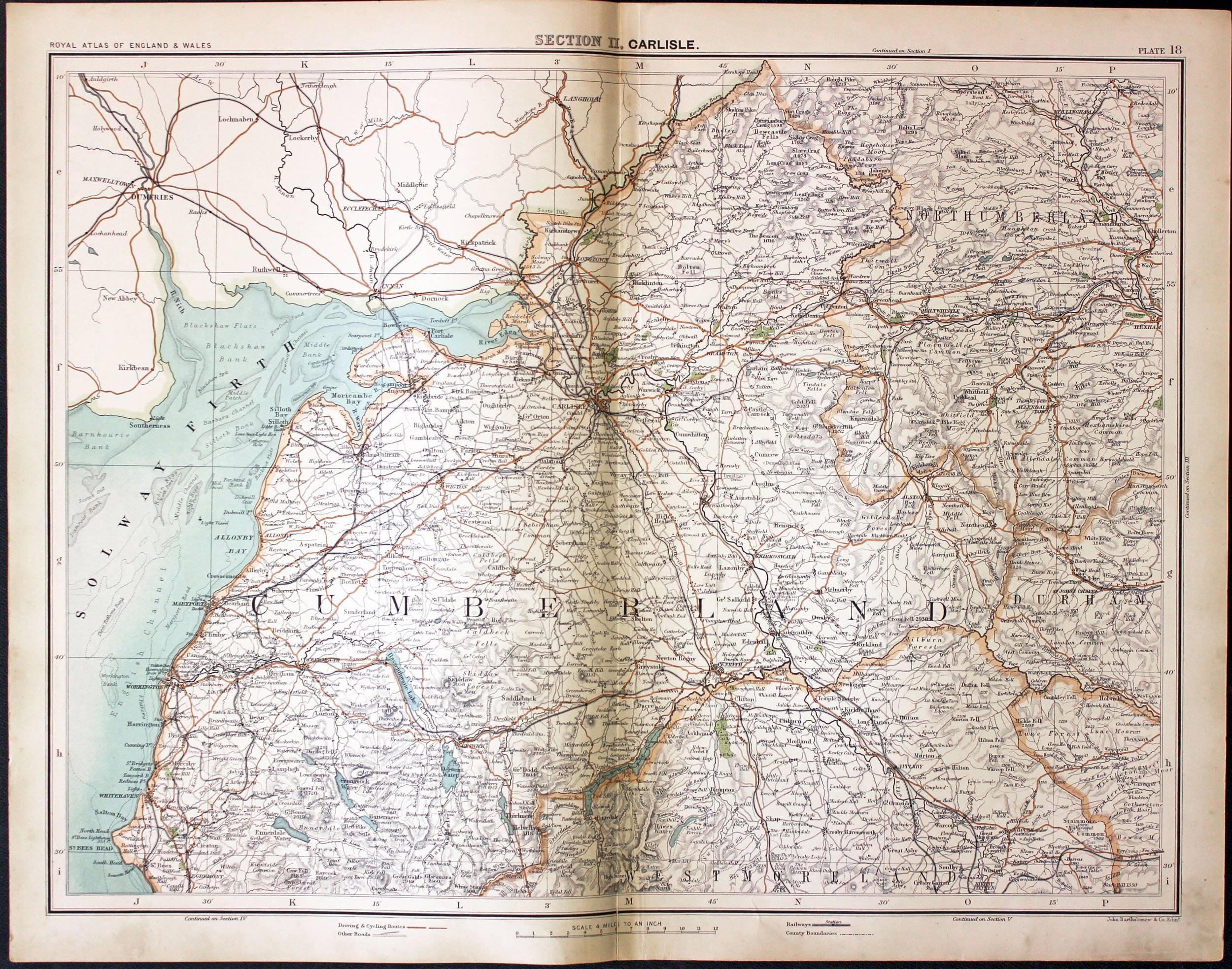
Part of Cumberland Westmorland, John Bartholomew, c.1898

30833 Part of Cumberland Westmorland, John Bartholomew, c.1898. Price: 18.00
SECTION II. CARLISLE
A colour printed map showing parts of Cumberland and Westmorland. Scale of 4 miles to the inch. Shows the railways. Centre fold. 16 1/2 x 12 1/2 inches. Small split at he bottom of the centre fold otherwise good clean condition.
From: The Royal Atlas
19th Century - Interesting Provenance
-
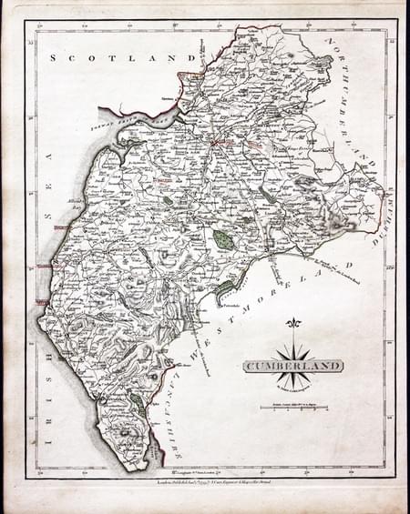
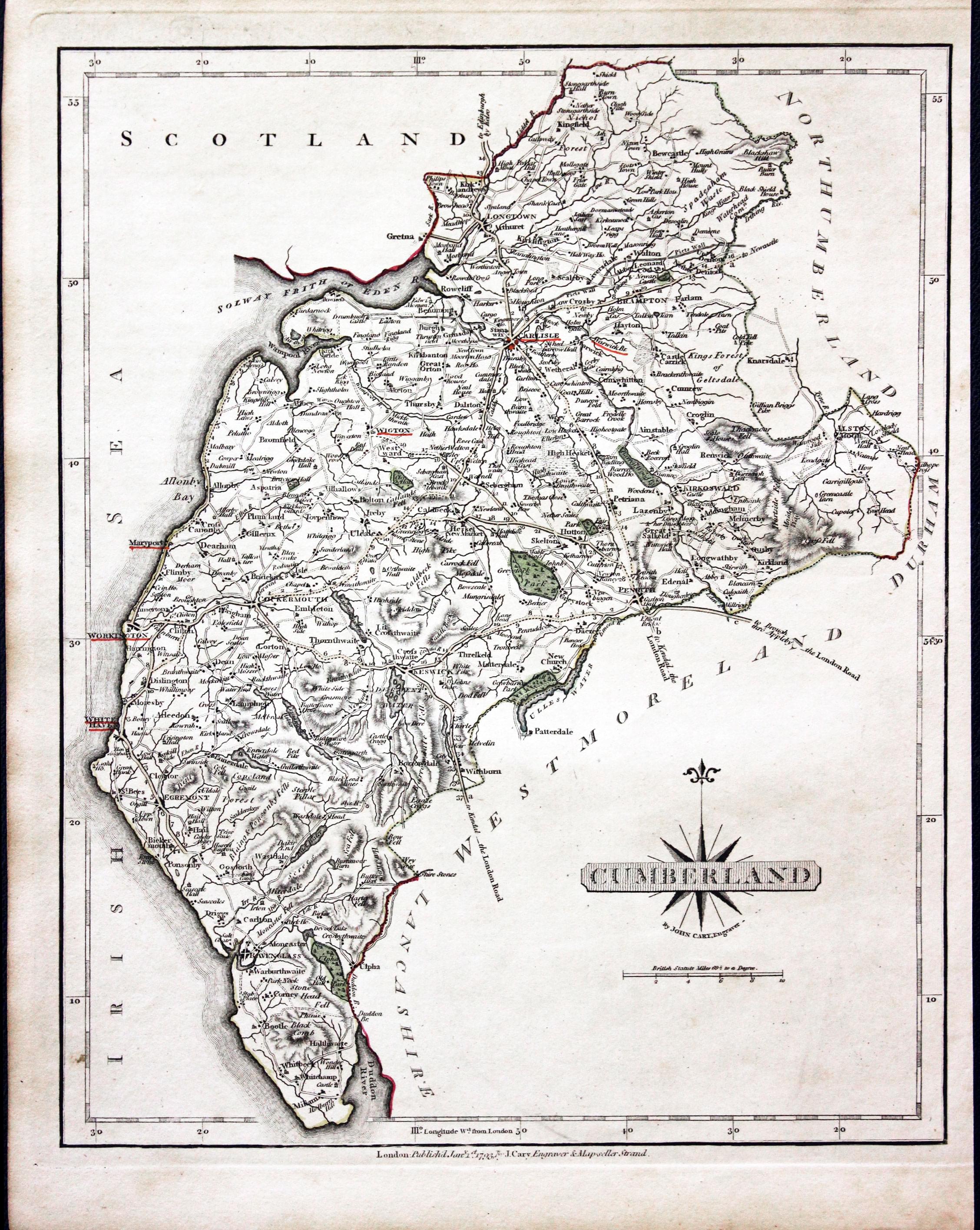
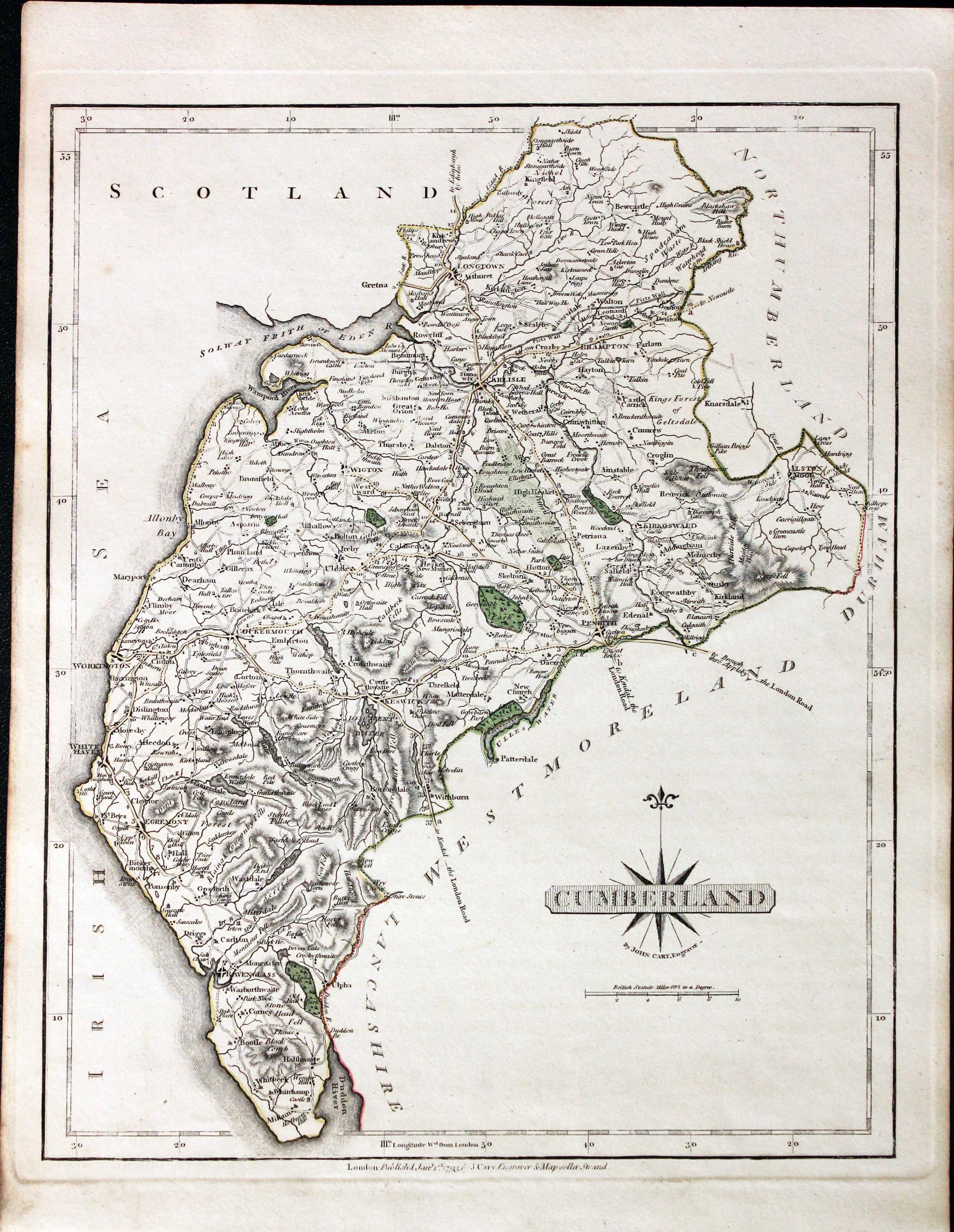
Cumberland, John Cary 1793

30858 Cumberland, John Cary 1793. Price: 46.00
CUMBERLAND
A good engraved map of the county. Title panel and compass rose combines. Imprint of John Cary dated 1793. Original outline hand colouring. 8 1/4 x 10 1/4 inches. Some town names underlined in red. Good condition.
From: Cary's New and Correct English Atlas
Provenance: John Hobson Matthews
The places underlined in red ink are those in which a Catholic mission has been established between the era of the Reformation and the year 1840
John Hobson Matthews (1858 - 1914) Born in Croydon in 1858. Educated at schools at Blackheath and Cambridge. Worked for a shipping firm in Malta. A good linguist he was a Roman Catholic historian, archivist and solicitor. You will find more details about him here in the Dictionary of Welsh Biography.
Victorian - Fox Hunting
-

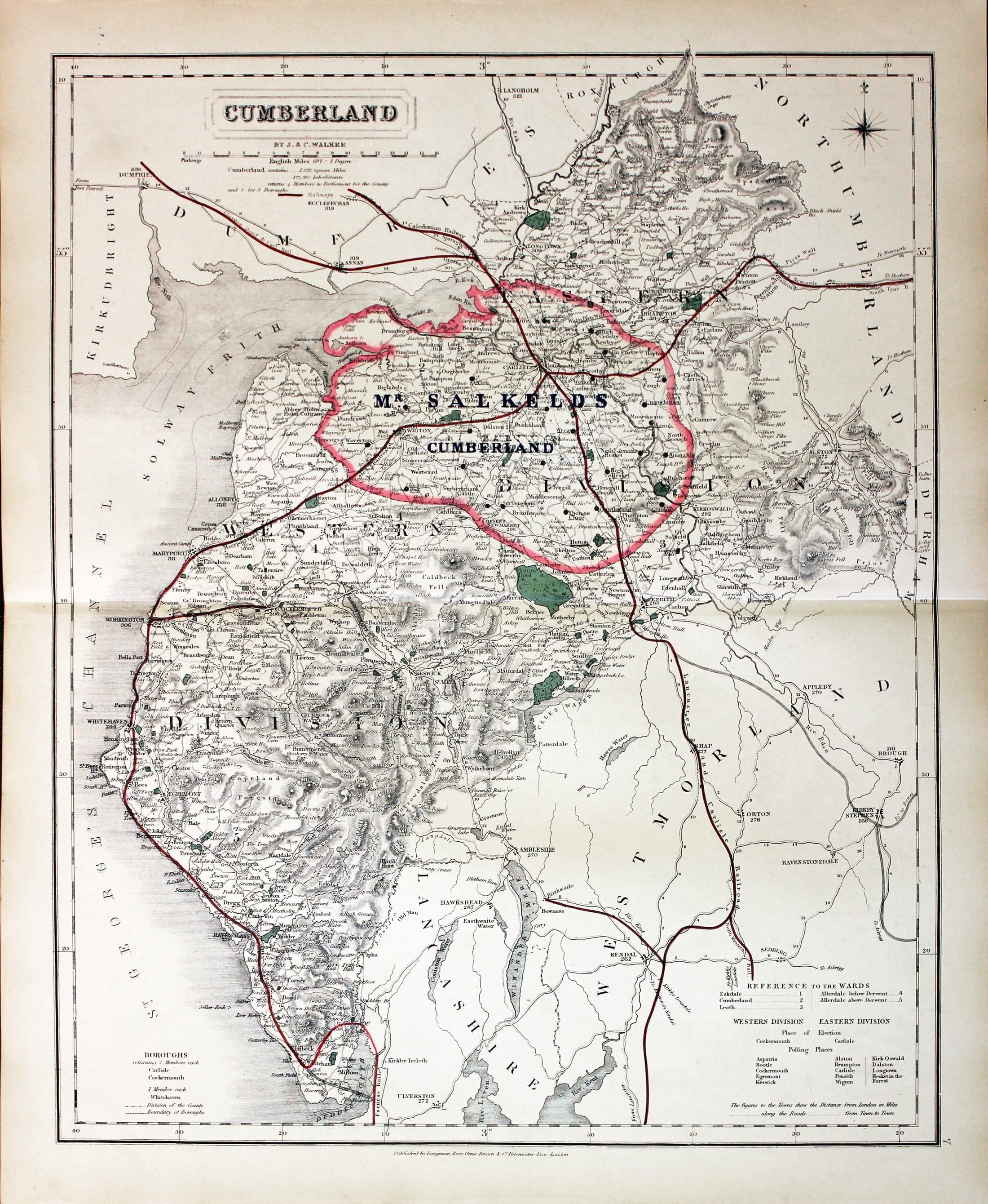
Cumberland - Fox Hunting, John and Charles Walker, 1851

31036 Cumberland - Fox Hunting, John and Charles Walker, 1851. Price: 37.00
CUMBERLAND
A good detailed lithograph map of the county from Hobson's Fox Hunting Atlas showing the places of the Meeting of the Hounds. 15 1/2 x 12 1/2 inches. Published by Longman, Rees, Orme, Brown and Co. Paternoster Row, London. Original outline hand colouring. Fine condition. Straight from the atlas so has not been sold as a single map before.
Shows Mr. Salkeds Hunt
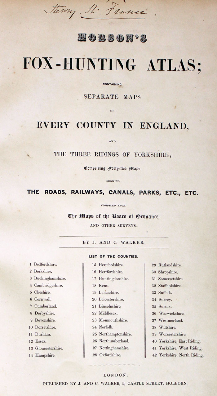
Provenance: George Hayhurst - Royal Fusiliers and Henry H. France
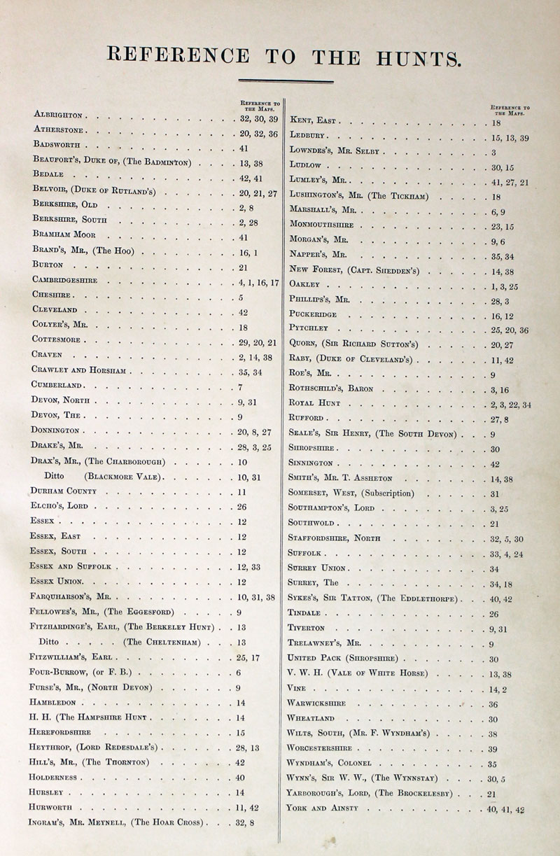
TITLE PAGE AND LIST OF HUNTS
-
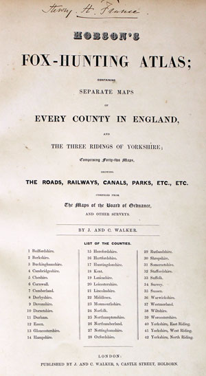
Hobson Fox Hunting Atlas Titlepage
-
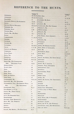
Hobsons Fox Hunting Atlas List of Hunts

18th Century - First Edition
-

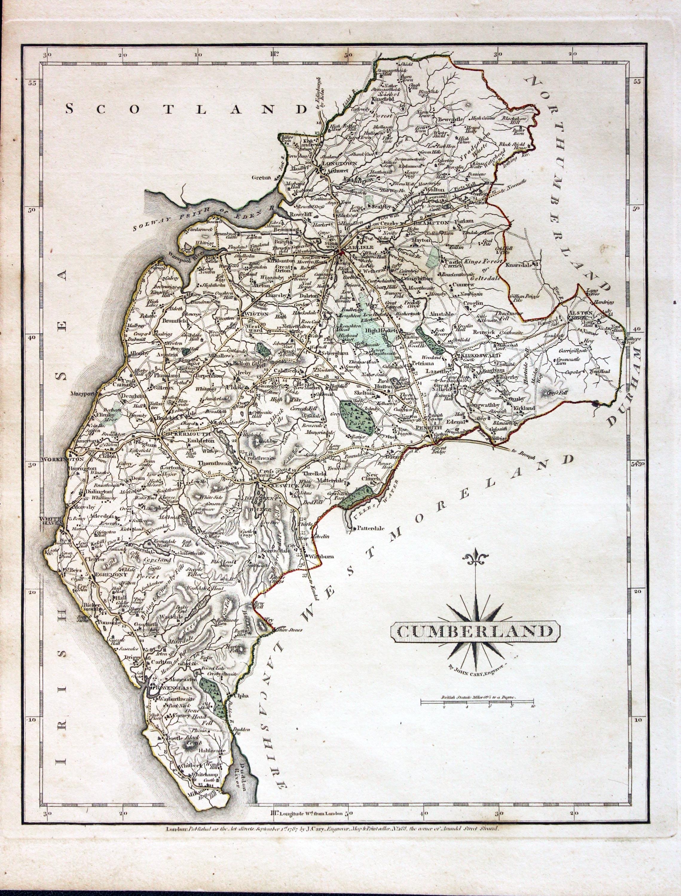
Cumberland, John Cary 1787

31277 Cumberland, John Cary 1787. Price: 50.00
CUMBERLAND
The FIRST EDITION of this well engraved detailed map of the county with title panel and compass rose combined. Scale. Imprint of John Cary dated 1787. 8 1/4 x 10 1/4 inches. Original outline hand colouring. Good condition. With this map is the original page of descriptive text.
From: Cary's New and Correct English Atlas
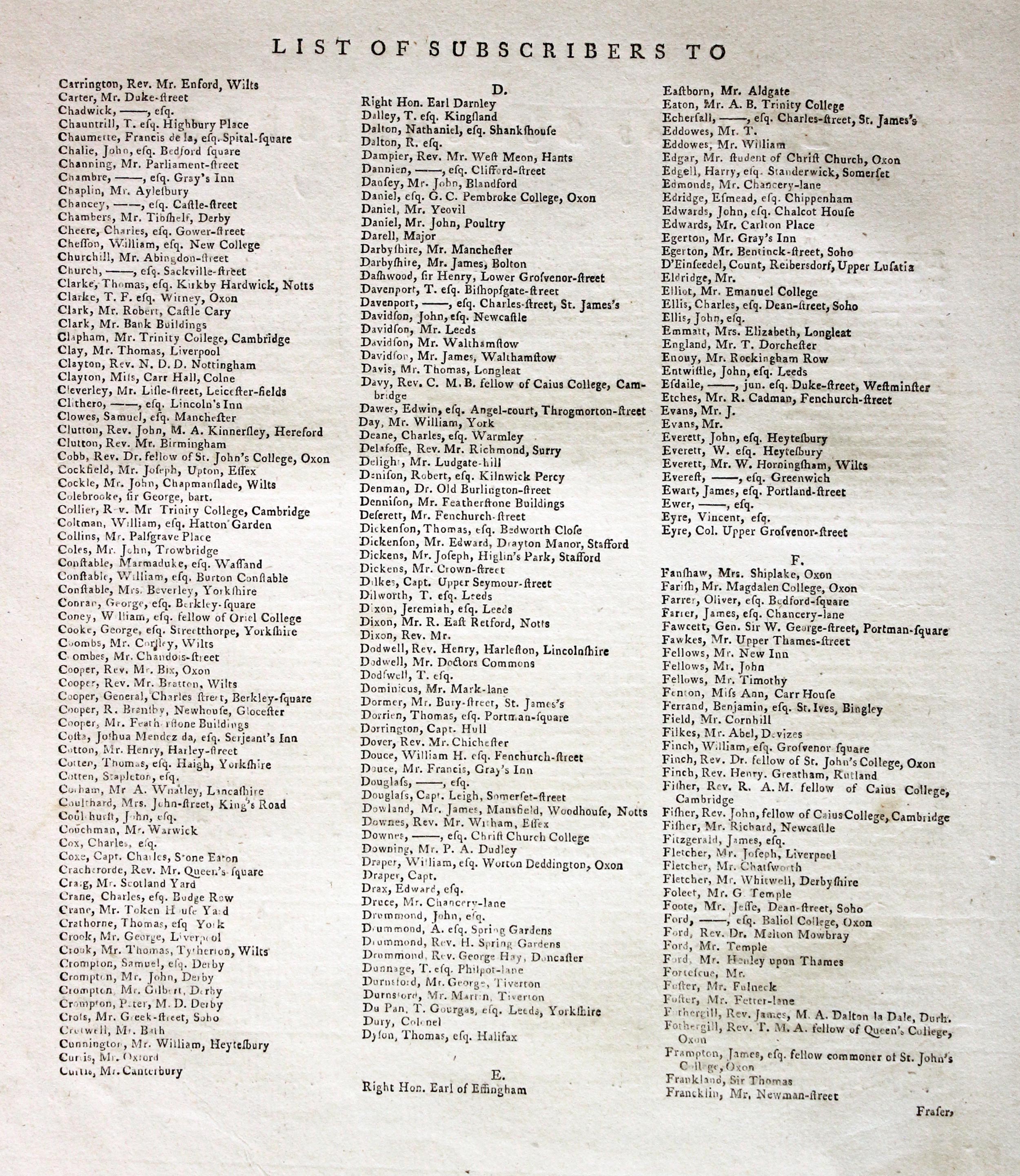
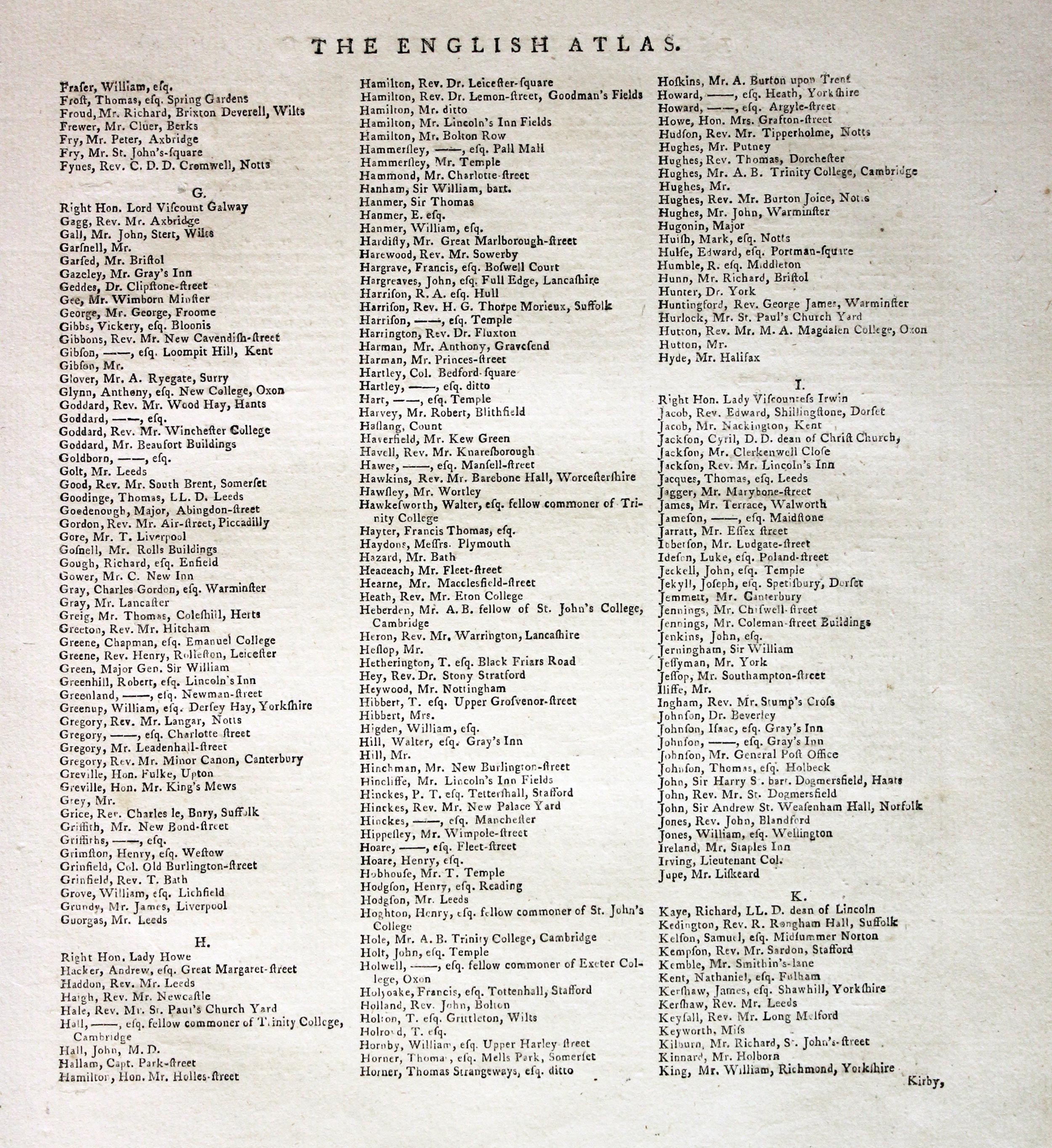
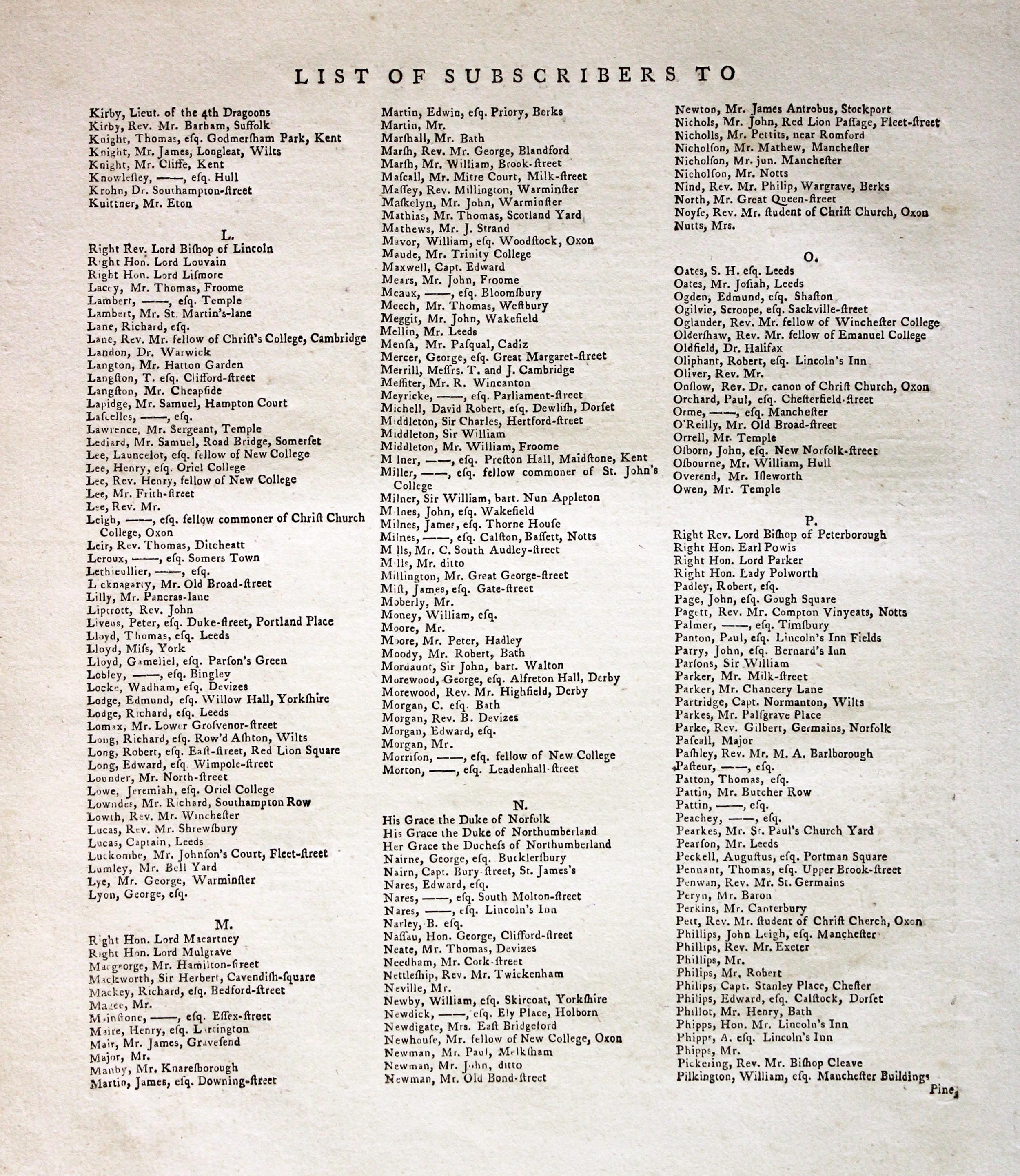
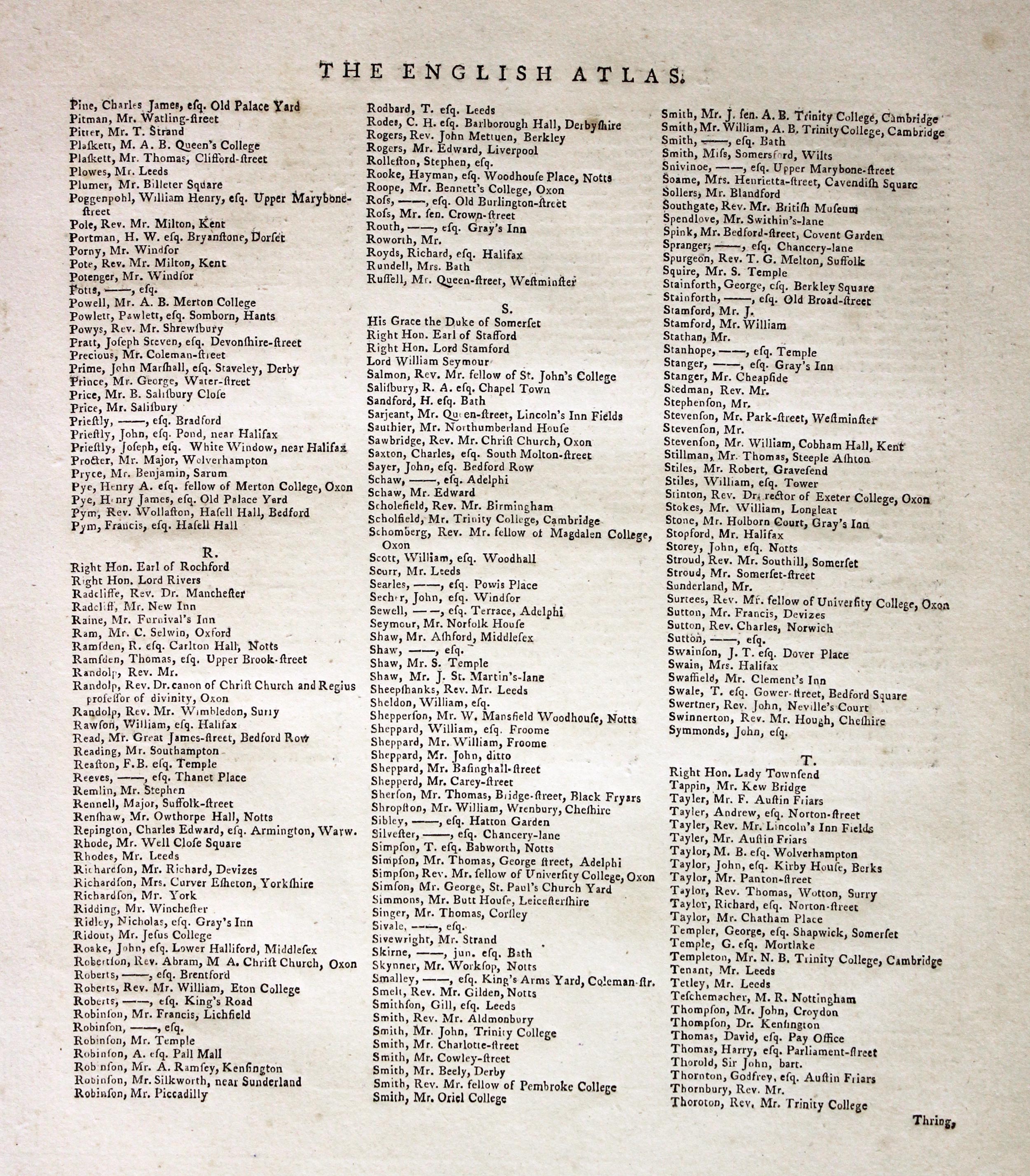
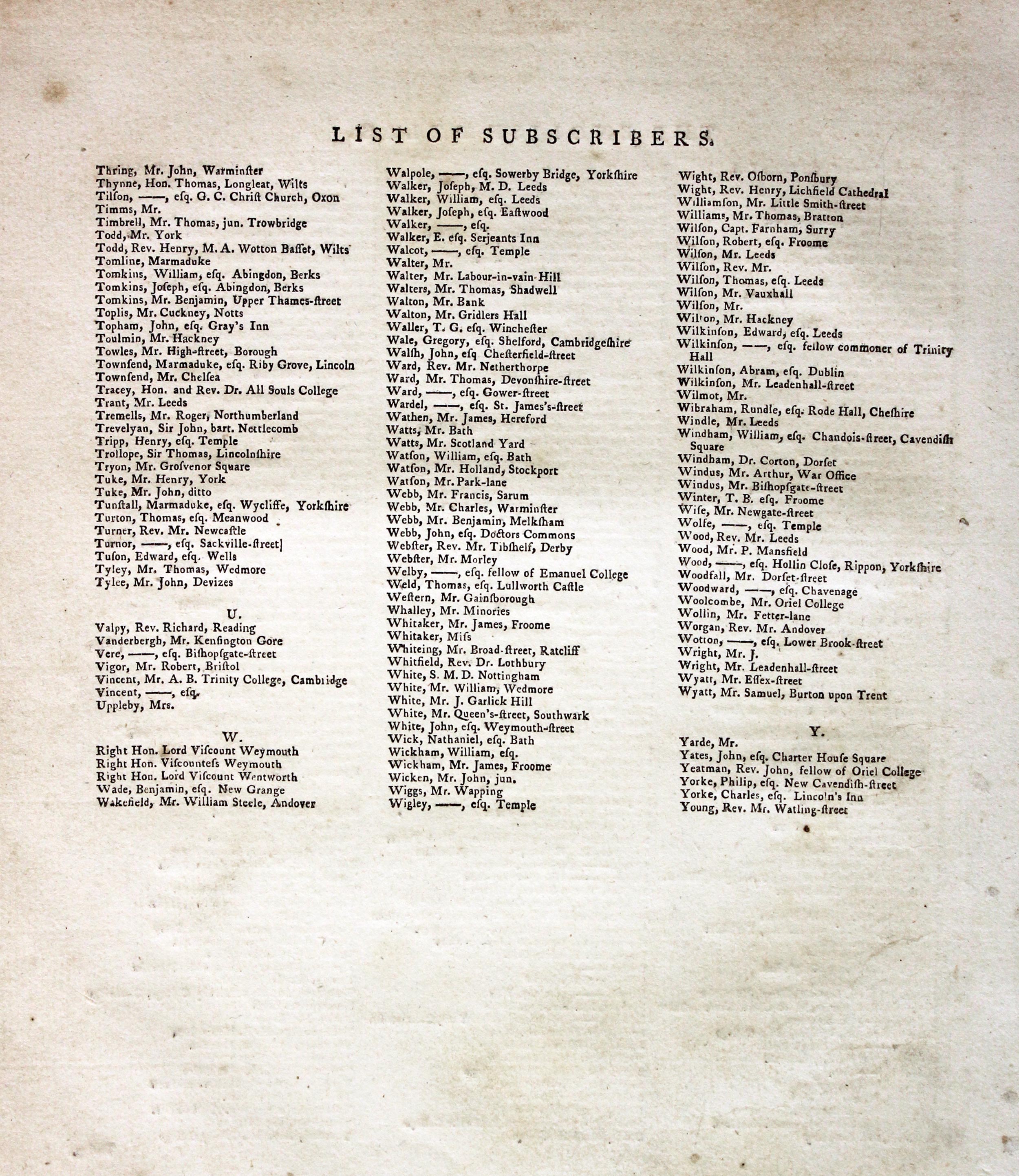
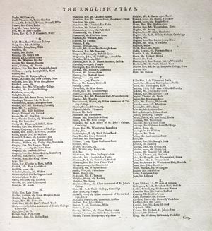
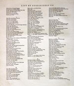
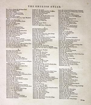
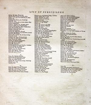
THE SUBSCRIBERS TO THE FIRST EDITION
If you are thinking of buying this map you may be interested to see this list of the original subscribers to Cary's New and Correct English Atlas first published in 1787. It makes interesting reading and might even include one of your relatives.
-
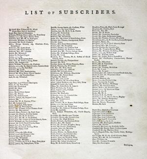
New and Correct English Atlas Subscribers
-

New and Correct English Atlas Subscribers
-
New and Correct English Atlas Subscribers
-
New and Correct English Atlas Subscribers
-
New and Correct English Atlas Subscribers
-
New and Correct English Atlas Subscribers
19th Century - Early Hand Colouring
-

Lewis' Atlas to the Topographical Dictionaries of England and Wales

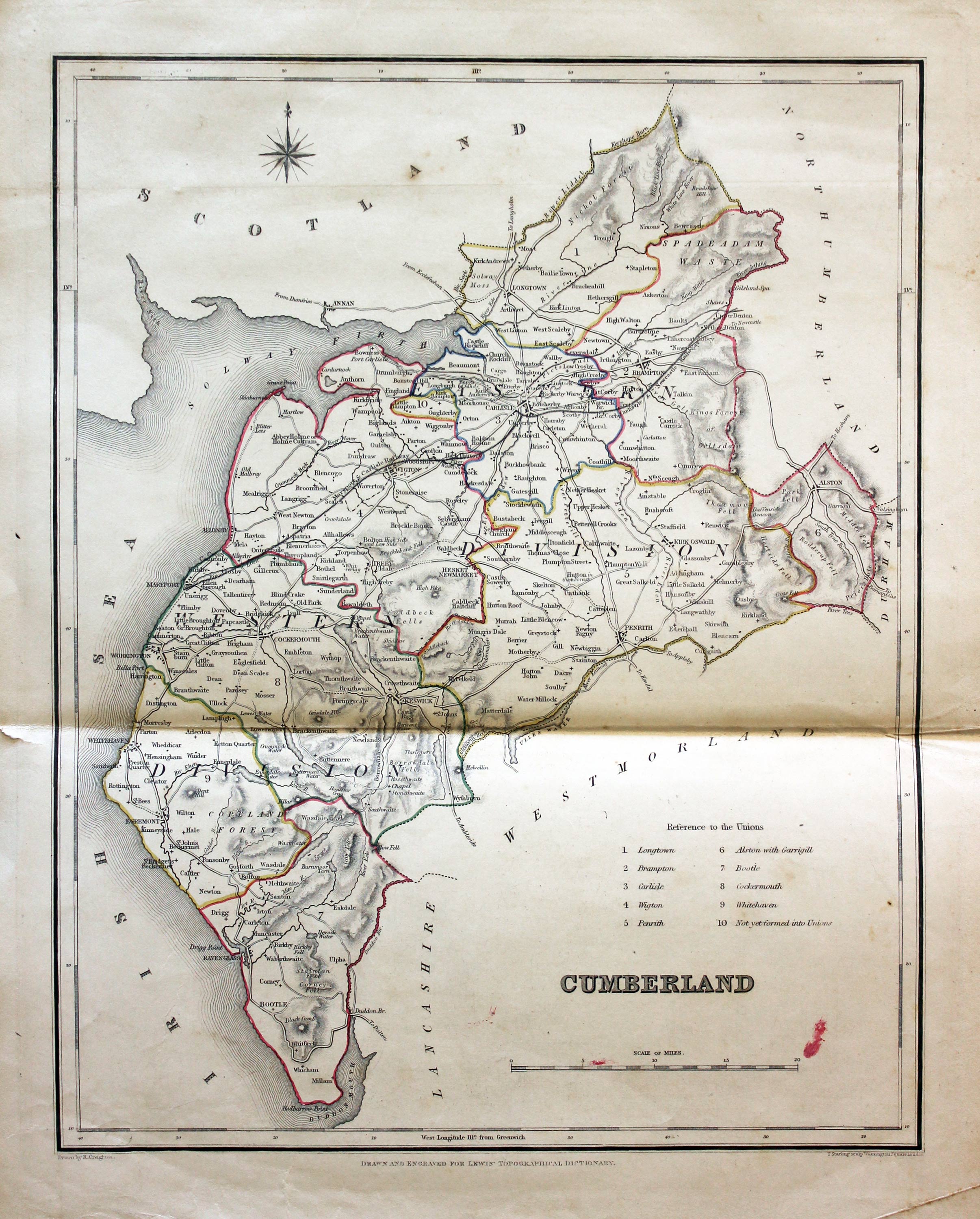
31582 Cumberland, Samuel Lewis, 1845. Price: 20.00
CUMBERLAND
A county map drawn by R. Creighton and engraved by J. & C. Walker. Reference to the Unions. 9 1/4 x 6 3/4 inches. Original outline hand colouring. Horizontal fold crease as issued with small tear at one end in blank margin. Two smudges of red colour near the scale. Could have been a slip by the 19th century colouring as the hue is similar to one of the colours used in the outline colouring. Crease across the bottom right hand corner. Straight from the atlas and not sold as a single map before now.
From: Lewis' Atlas to the Topographical Dictionaries of England and Wales
18th Century - Early Hand Colouring
-
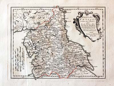
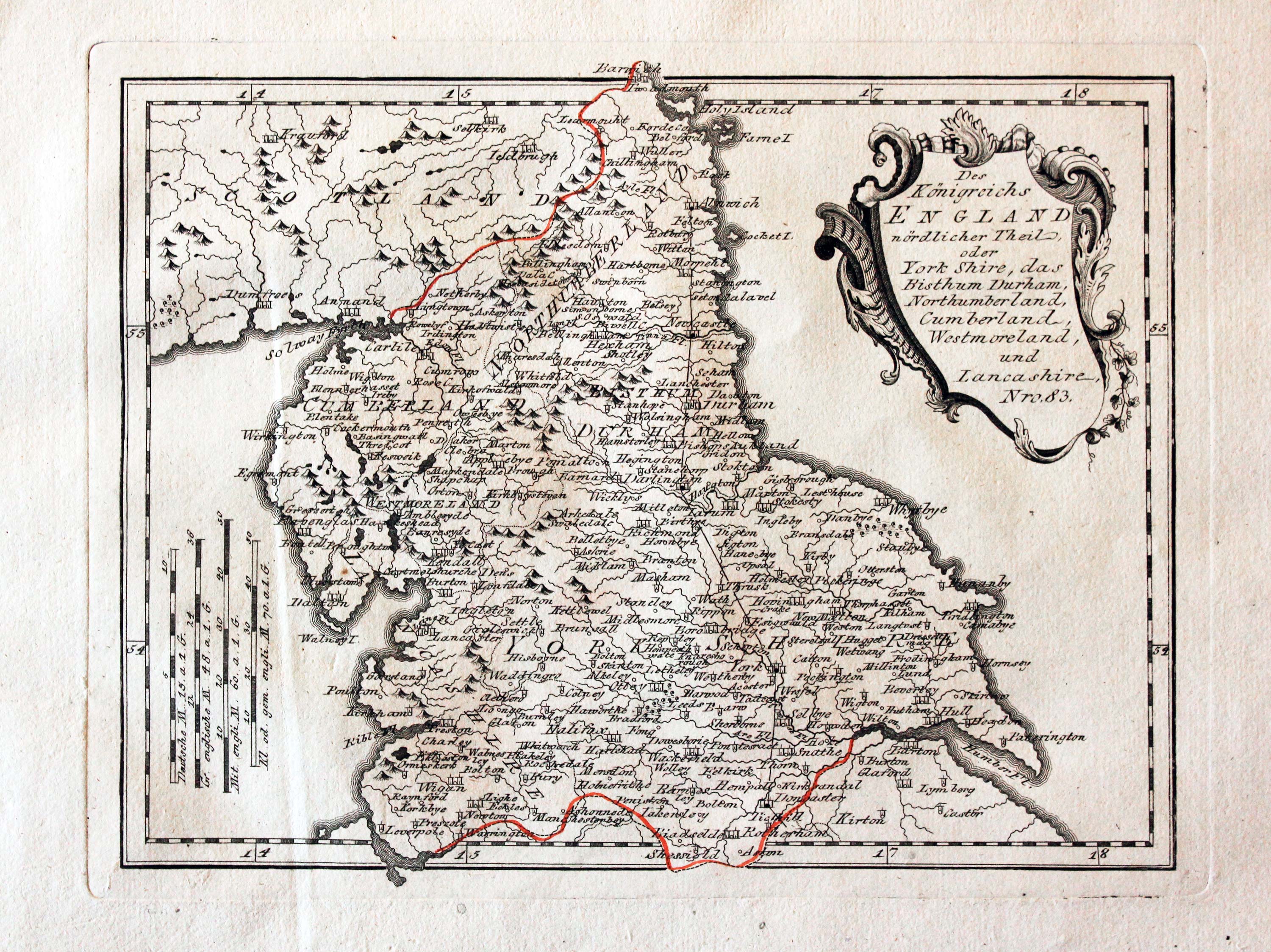
Northern England, von Reilly 1789

24041 Northern England, Franz Joseph von Reilly, 1789. Price: 68.00
Des Konigreichs ENGLAND nordlicker Theil oder York Shire, das Bithum Durham, Northumberland, Cumerland, Westmoreland, und Lancashire. Nro. 83.
An engraved map of northern England embellished with a decorative uncoloured title cartouche. 10 3/4 x 8 1/4 inches. Early wash hand colouring. Slight vertical crease on the left hand side otherwise good condition.
From: Schauplatz der funf Theile der Welt
Early 19th Century - Original Hand Colouring
-

Cumberland, John Cary, 1802

31695 Cumberland, John Cary, 1802. Price: 47.00
CUMBERLAND
A well engraved detailed map of the county with title panel and compass rose combined. Scale. Imprint of John Cary dated 1793. 8 1/4 x 10 1/4 inches. Original outline hand colouring. Good condition. I have dated this map 1802 because the many of the other maps in the atlas were watermarked with the date of 1802. The title page of the atlas is dated 1793.
From: Cary's New and Correct English Atlas
18th Century
-

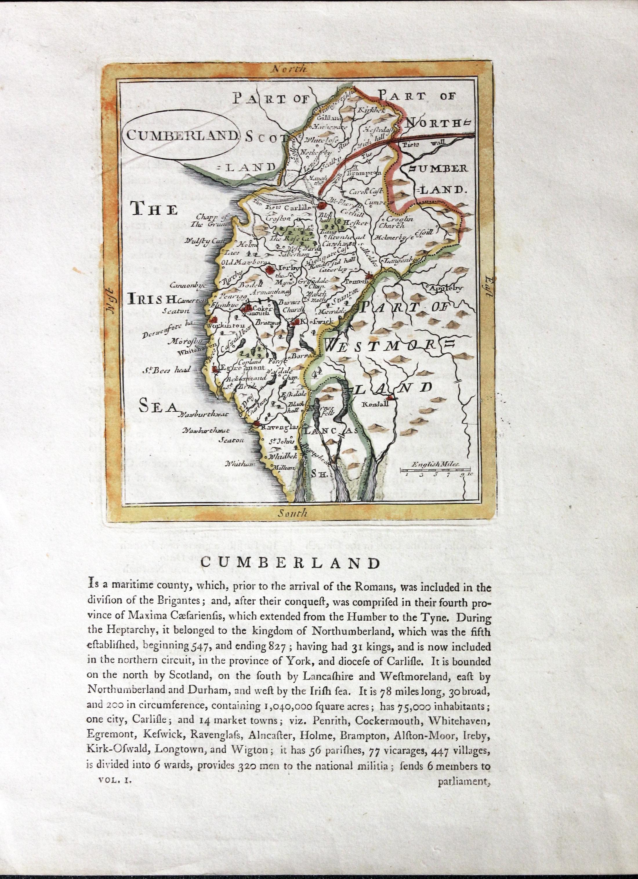
Cumberland , John Seller c.1787

32337 Cumberland, John Seller, c.1787. Price: 30.00
CUMBERLAND
An engraved map of the county. Oval title panel. 4 3/4 x 5 inches. Hand coloured. Descriptive text beneath and which continues on verso. Light crease across the top left hand side of the map otherwise good condition.
From: Francis Grose's The Antiquities of England and Wales
Late 18th Century - Early Hand Colouring
-

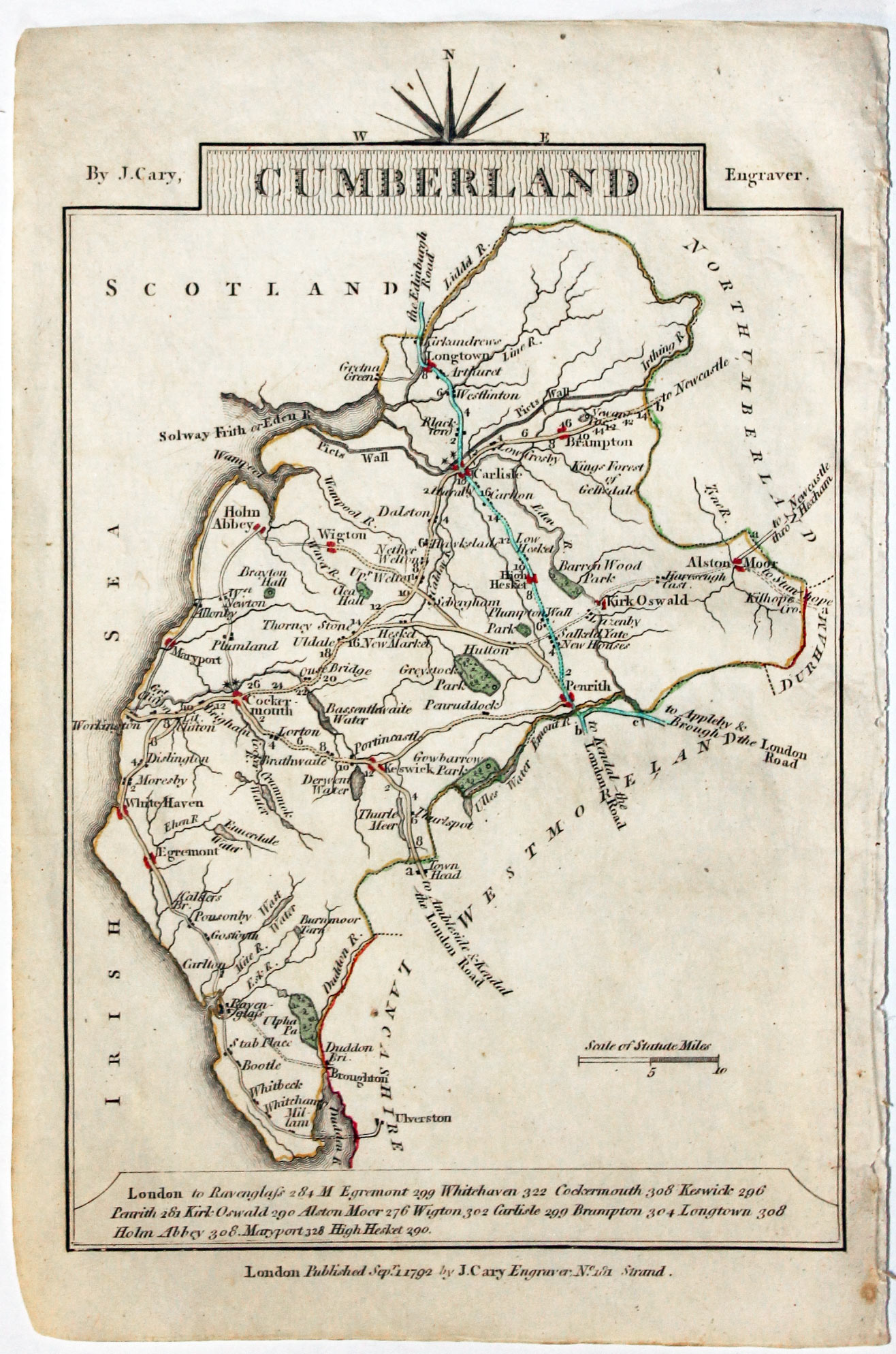
Map of Cumberland, John Cary, 1792
32564 Cumberland, John Cary, 1792. Price: 12.50
CUMBERLAND
A small engraved map of the county. Tile panel surmounted by half compass rose. Panel at bottom with list of distances from London. Publisher’s imprint beneath dated 1792. 3 1/2 x 4 3/4 inches. Thin paper. Original outline hand colouring. Good condition.
From: Cary’s Traveller’s Companion
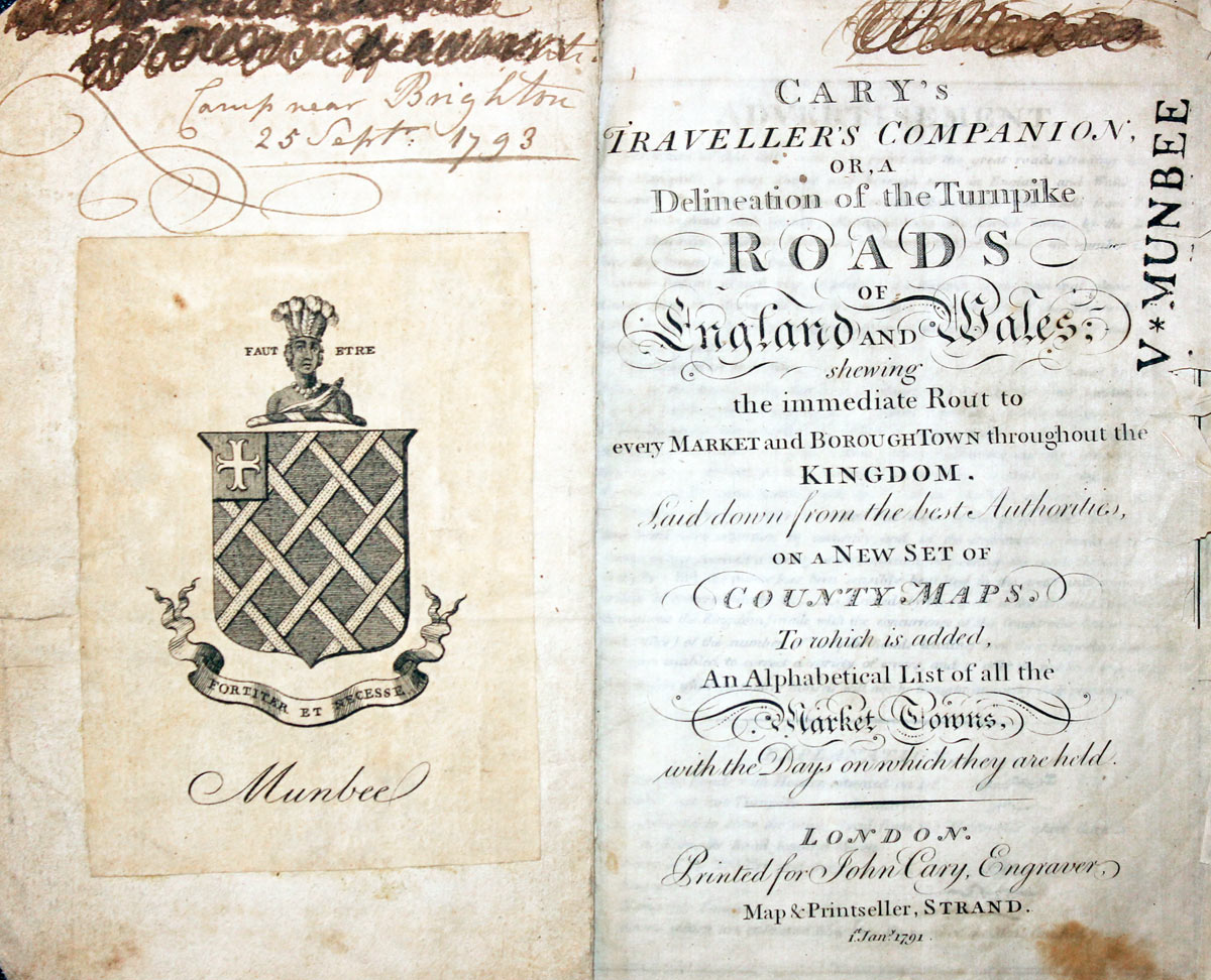
Titlepage dated 1791, maps dated 1792. The atlas was formerly in the Mumbee family library - titlepage stamped V. Munbee
Provenance
-
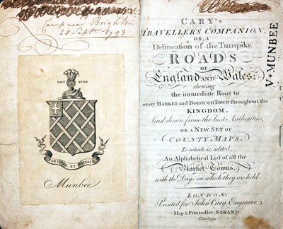
Cary Titlepage and Munbee Bookplate

19th Century - Early Hand Colouring
-

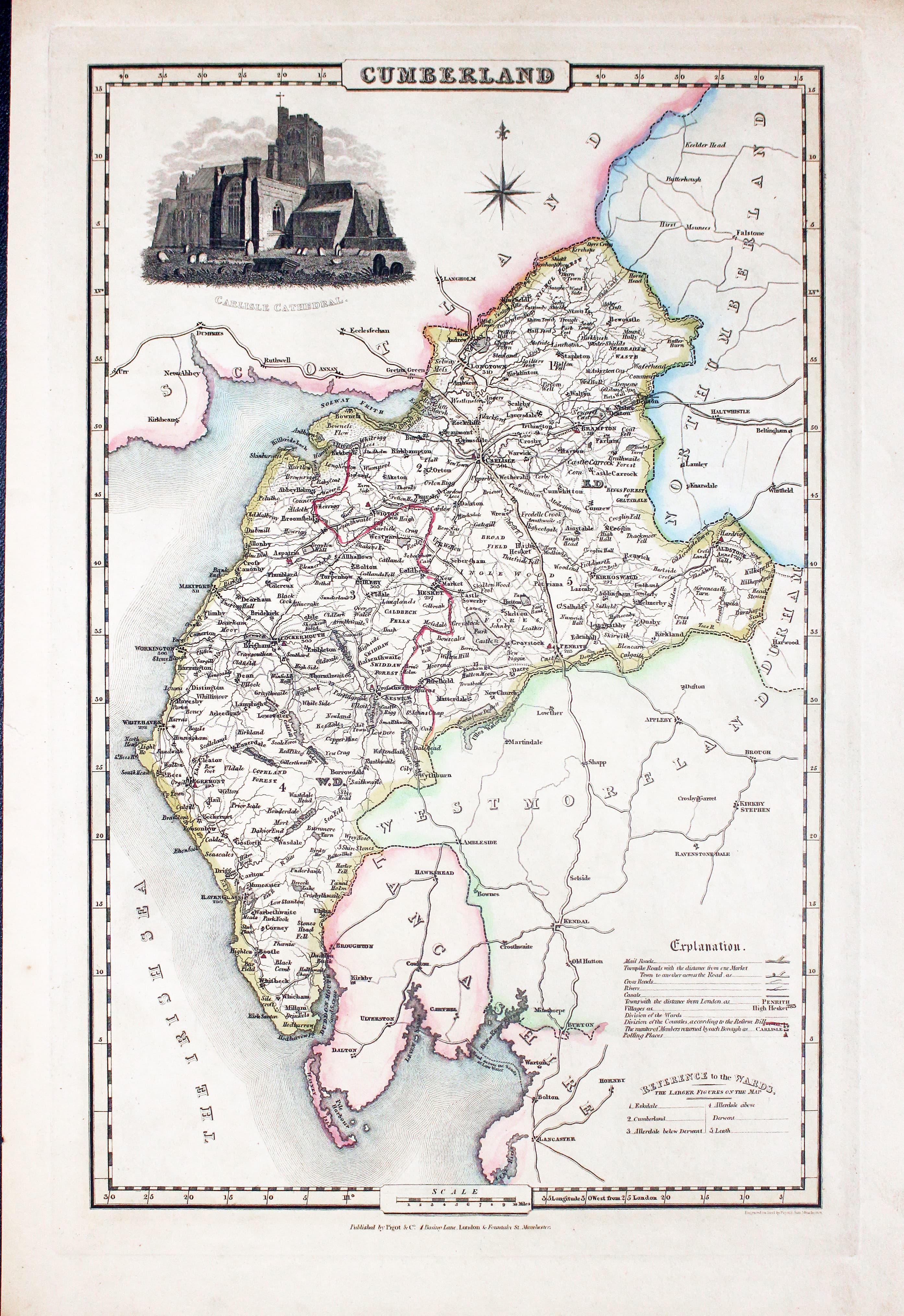
Map of Cumberland, James Pigot c.1830
32857 Cumberland, James Pigot, c.1830. Price: 62.00
CUMBERLAND
An engraved map of the county with title, scale, explanation and list of wards. Embellished with an uncoloured view of Carlisle Cathedral. Imprint of the publishers Pigot & Co. 24 Basing Lane & 18 Fountains St. Manchester beneath. 8 3/4 x 14 inches. Original outline hand colouring. Good condition.
From: British Atlas

19th Century - Early Hand Colouring
-
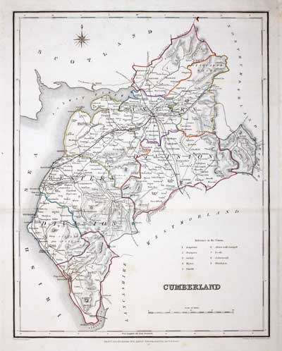
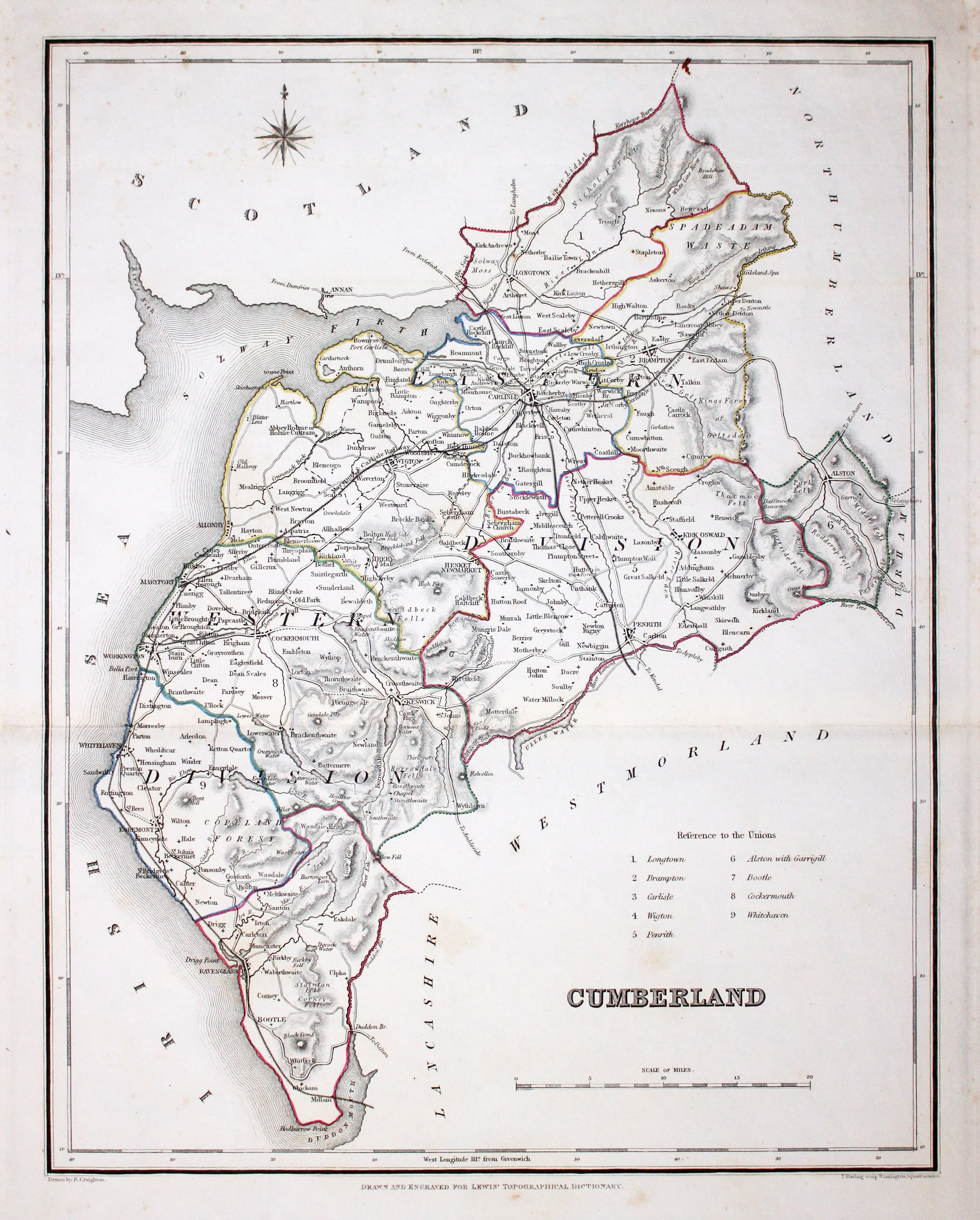
Map of Cumberland by Samuel Lewis 1848
32901 Cumberland, Samuel Lewis, 1848. Price: 22.00
CUMBERLAND
A county map drawn by R. Creighton and engraved by T. Starling. Reference to the Unions. 9 x 11 1/2 inches. Original outline hand colouring. Horizontal fold crease as issued. Good clean condition. Straight from the atlas and not sold as a single map before now.
From: Lewis' Atlas to the Topographical Dictionaries of England and Wales

19th Century
-
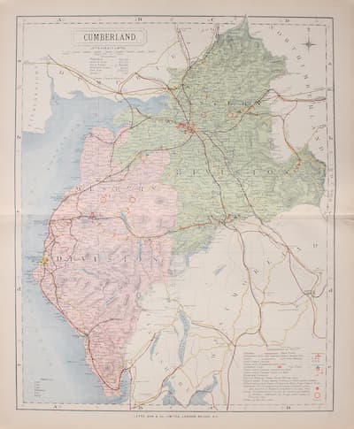
Map of Cumberland by Thomas Letts 1884
32961 Cumberland, Thomas Letts, 1884. Price: 26.00
CUMBERLAND
A detailed chromolithograph map of the county. Explanation plus statistics concerning Population, Area, Inhabited Houses, Poor Rate and Paupers.12 1/2 x 15 3/4 inches. Original centre fold. Imprint of Letts & Son beneath. Fine clean condition. Straight from the atlas so never previously been sold as a single map.
From: Lett’s Popular County Atlas

18th Century
-

Map of Cumberland by Robert Morden c.11753

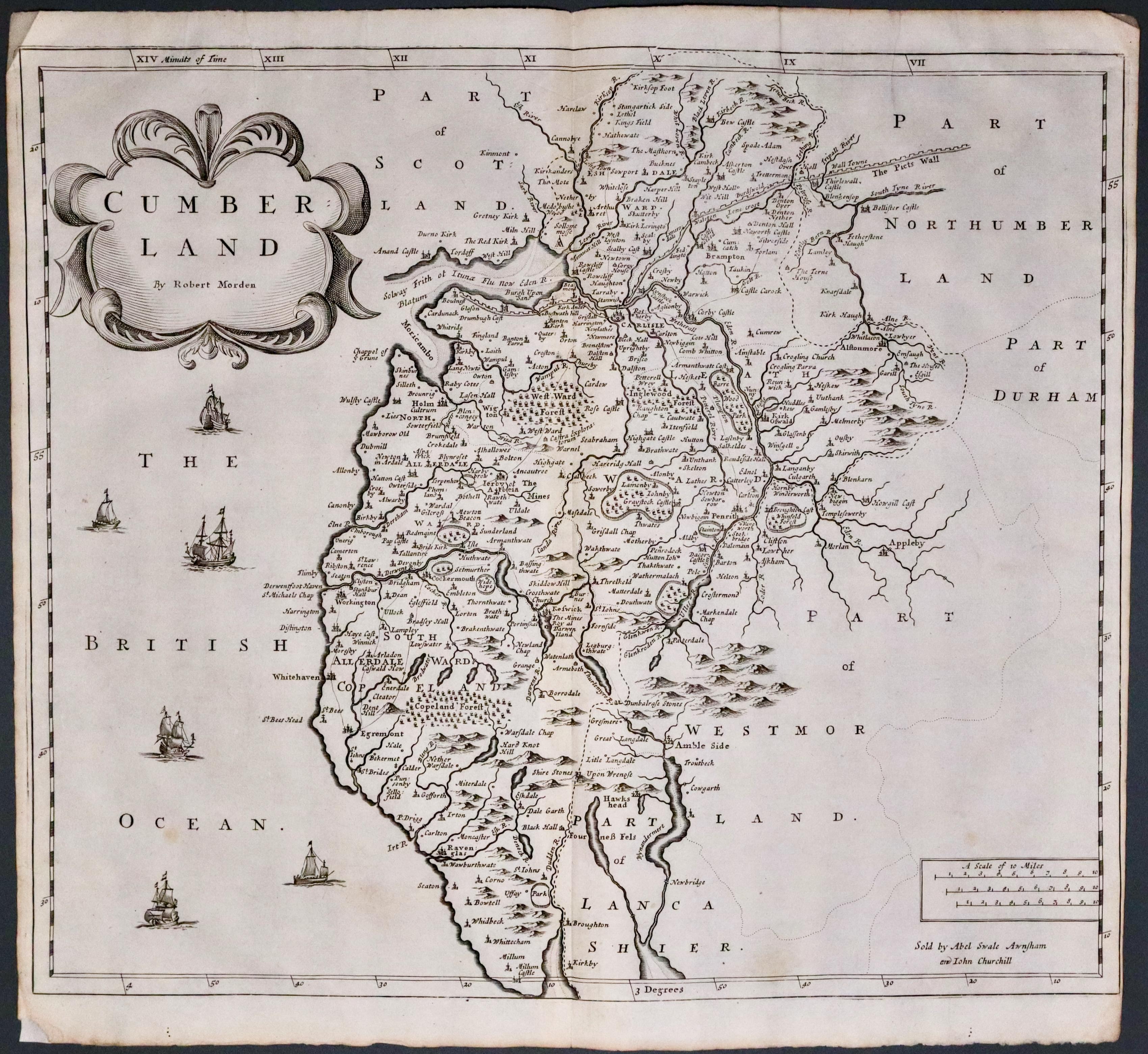
33070 Cumberland, Robert Morden, c.1753. Price: 92.00
CUMBERLAND By Robt. Morden
A good engraved map of the county embellished with a decorative title cartouche. Six ships displayed on the sea area. Three scales and publisher's imprint. 16 1/2 x 14 1/4 inches, 420 x 360 mm. Uncoloured. Two small brown marks in the left hand blank margin. Small slit at the bottom of the centre fold otherwise good clean condition.
From Camden's Britannia
19th Century
-

Map of Cumberland by Robert Morden c.1722
33113 Cumberland, Cole & Roper, c.1845. Price: 12.00
CUMBERLAND
A good detailed engraved map of the county. A later edition of the Cole & Roper map first published in 1810. Explanation. 6 3/4 x 9 1/4 inches. Uncoloured Good condition. Some writing in ink on verso which does not show through to the front.

19th Century
-

Cumberland, Joshua Archer c.1843
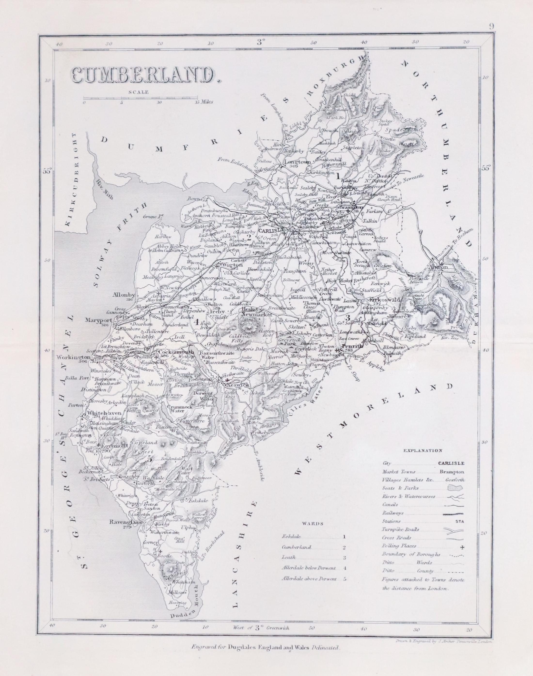
33295 Cumberland, Joshua Archer, c.1845. Price: 11.00
CUMBERLAND
An engraved map of the county including the railways. 7 x 9 inches. Uncoloured. Original centre fold. Good condition.
From: Dugdale’s England and Wales

19th Century
-
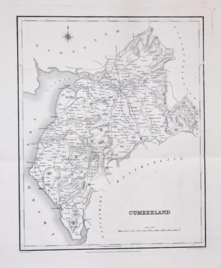
Cumberland Samuel Lews c.1845
33296 Cumberland, Samuel Lewis, c.1848. Price: 22.00
CUMBERLAND
A county map drawn by R. Creighton and engraved by T. Starling. Reference to the Unions. 9 x 11 1/2 inches. Original outline hand colouring. Horizontal fold crease as issued. Good clean condition. Very nice large blank margins
From: Lewis' Atlas to the Topographical Dictionaries of England and Wales

19th Century
-
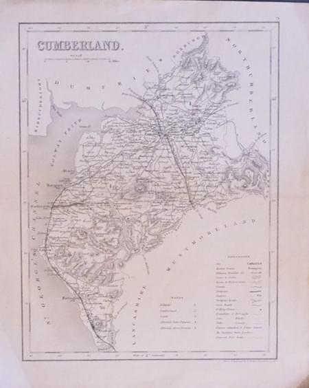
Cumberland, Joshua Archer c.1845
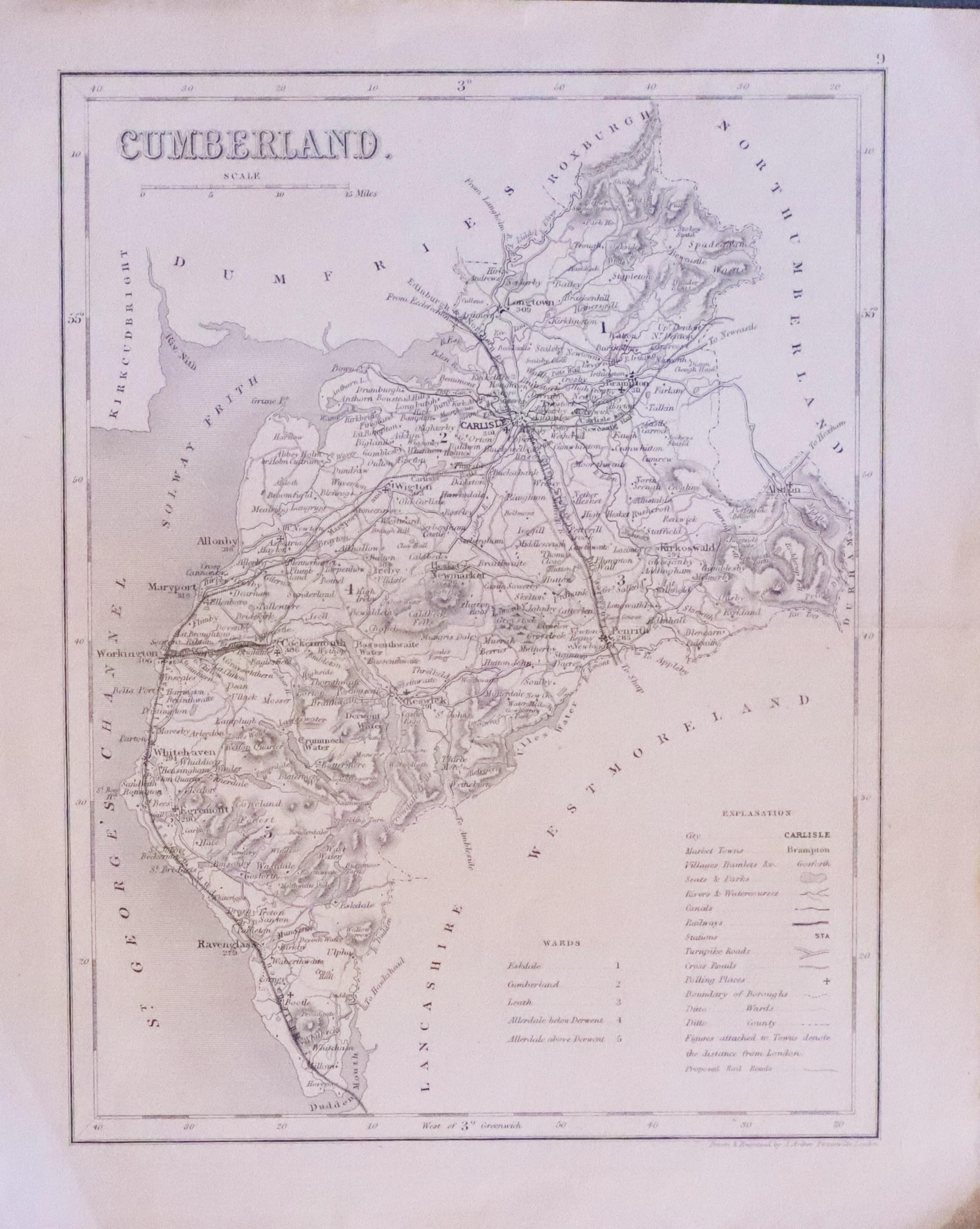
33298 Cumberland, Joshua Archer, c.1845. Price: 11.00
CUMBERLAND
An engraved map of the county including the railways. 7 x 9 inches. Uncoloured. Original centre fold. Good condition.
From: Dugdale’s England and Wales

19th Century
-

Cumberland, Joshua Archer c.1845
33333 Cumberland, Joshua Archer, c.1845. Price: 12.00
CUMBERLAND
An engraved map of the county including the railways. 7 x 9 inches. Uncoloured. Original centre fold. Good condition.
From: Dugdale’s England and Wales

18th Century
-

Roads between Penrigh and Keswick, James Clarke 1793

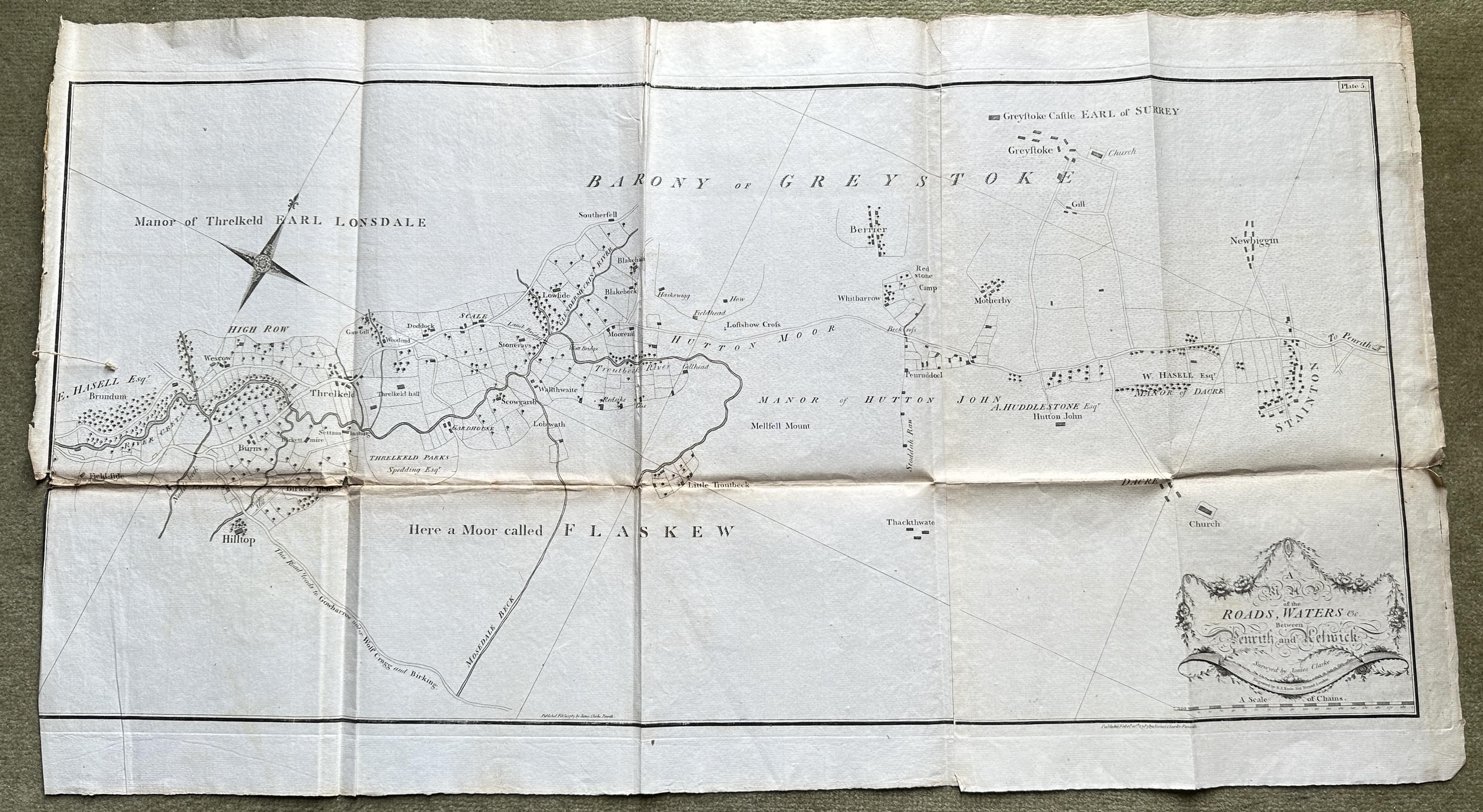
33364 Between Penrith and Keswick, James Clarke, 1793. Price: 140.00
A MAP OF THE ROADS, WATERS &c BETWEEN PENRITH AND KESWICK
An interesting late 18th century engraved map showing part of the Manor Threlkeld, Lonsdale and the Barony of Greystoke with part of the road from Keswick to Penrigth on a large scale. Surveyed by James Clarke and engraved by Samuel J. Neele. Plate 5. This map iappear as folded in the book and therefore has a horizontal fold crease and four vertical fold creases. The title is displayed within a rococo cartouche bearing the names of the surveyor and engraver. Beneath this is a scale of chains. Compass rose. Publishers imprint beneath dated 1787. Small split in one fold with a small amount of rowningPublishers imprint beneath dated 1787. Small split in one fold with a small amount of browning and a small split at the end of the fold in the margin. A section of the left-hand flank margin missing which is normal owing to the way the map was bound into the volume.and a small split at the end of the fold in the margin. A section of the left-hand flank margin missing which is normal owing to the way the map was bound into the volume.
From: Plans of the Lakes in Cumberland, Westmorland and Lancashire...
18th Century
-

Derwentwater by James Clarke 1793
-
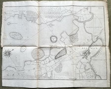
Right hand sheet Derwentwater by James Clarke 1793

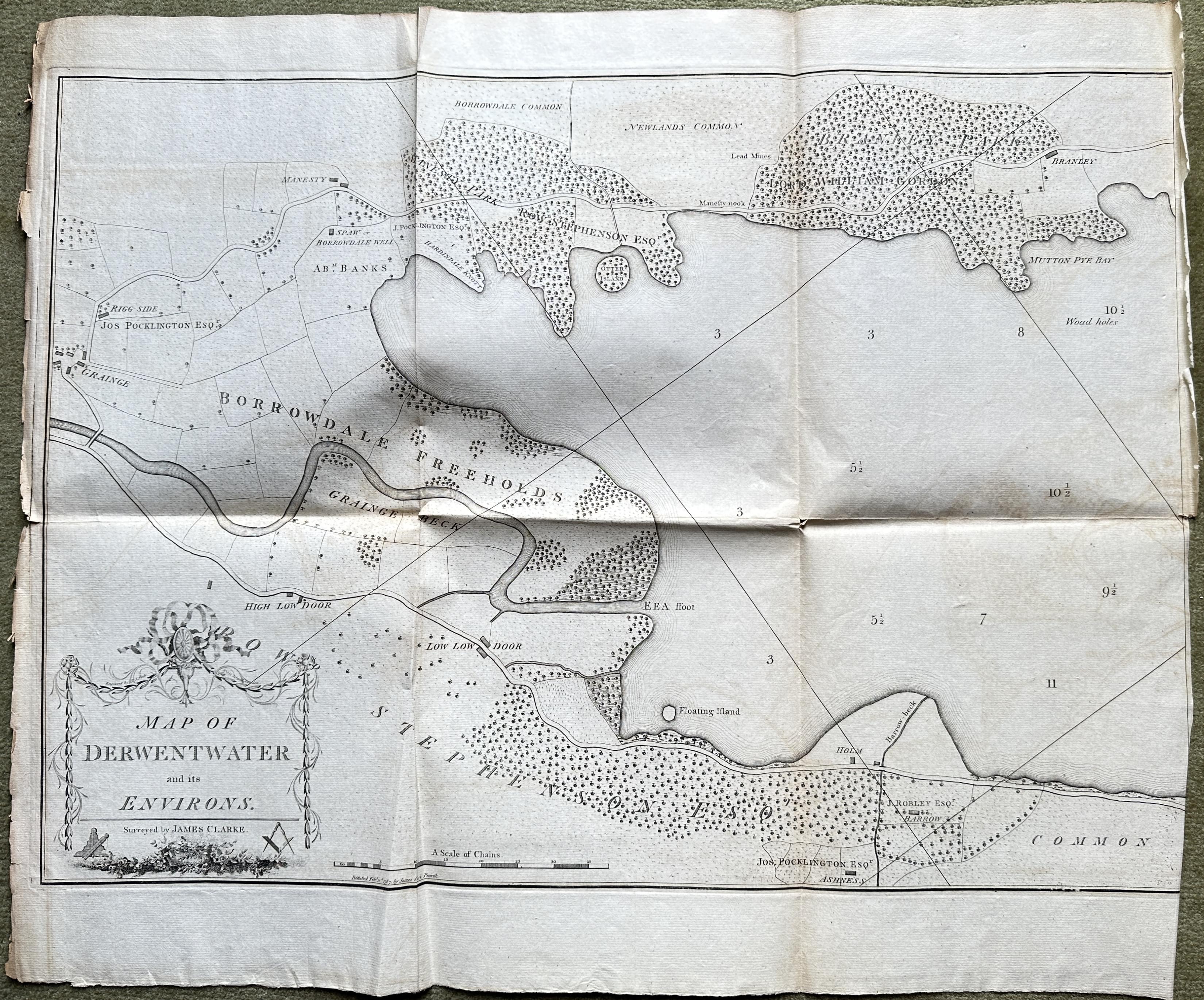
33368 Derwentwater, James Clarke, 1793. Price: 220.00
A MAP OF DERWENTWATER AND ITS ENVIRONS
An interesting late 18th century engraved map showing on two sheets the whole lake, islands, Keswick and the surrounding countryside with the names of the landowners. The left hand sheet displays the rococo title cartouche bearing the name of the surveyor James Clarke. Each map measures some 25 1/2 x 18 inches. Uncoloured. Good margins on the top and bottom. Part of the margins on one side of each sheet are missing which is usual owing to the maps being bound into a volume. Each sheet has traces of a horizontal fold and two vertical folds. Good clean condition. The sheets have never been sold before as single maps.
From: Plans of the Lakes in Cumberland, Westmorland and Lancashire...
18th Century
-

Map of Cumberland by Herman Moll 1724
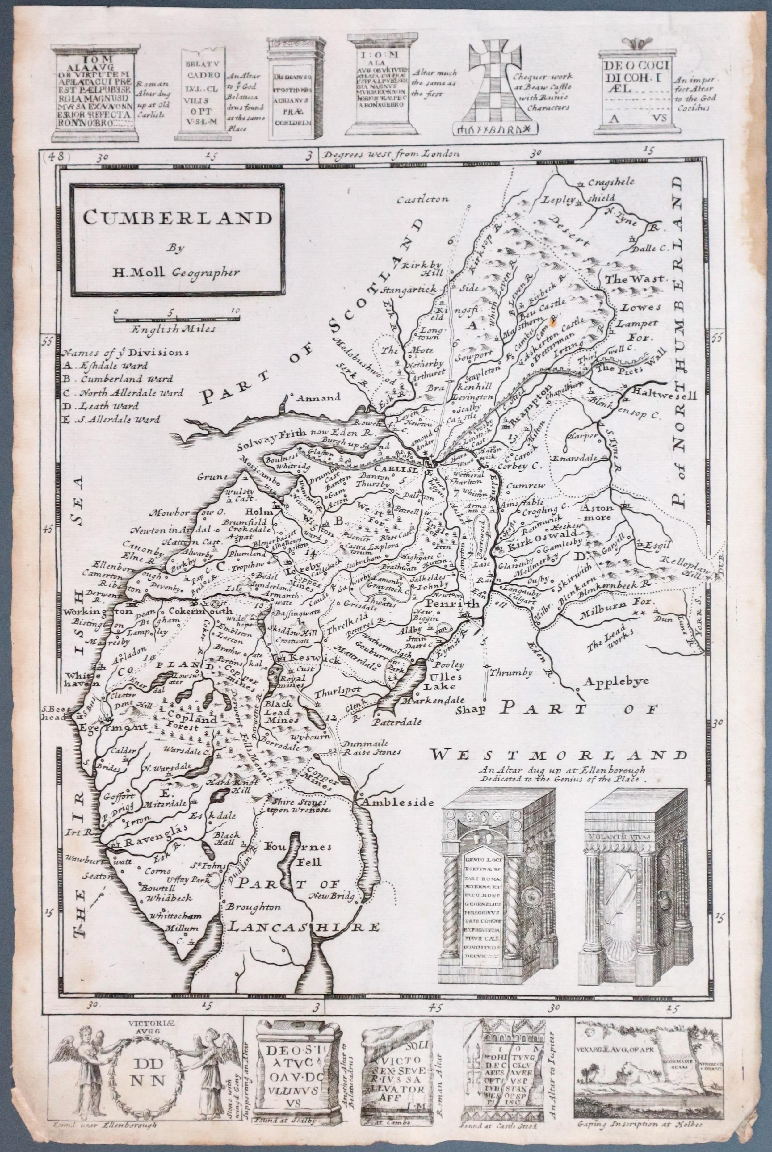
33382 Cumberland, Herman Moll, 1724. Price: 42.00
CUMBERLAND BY H. MOLL GEOGRAPHER
An engraved map of the county with title panel. Engravings of two early altars appear in the bottom right hand corner of the map. Across the top and bottom of the map are further engravings of antiquities found in the country. Without the antiquities the map measures some 8 x 10 inches. Uncoloured. Brown stain in the upper right hand blank margin, The two bottom blank margin corners worn away.
SPECIAL PRICE
From: A Set of Fifty New and Correct Maps of England and Wales.

18th Century - Large Scale
-

Keswick and Broadwater, James Clarke 1793
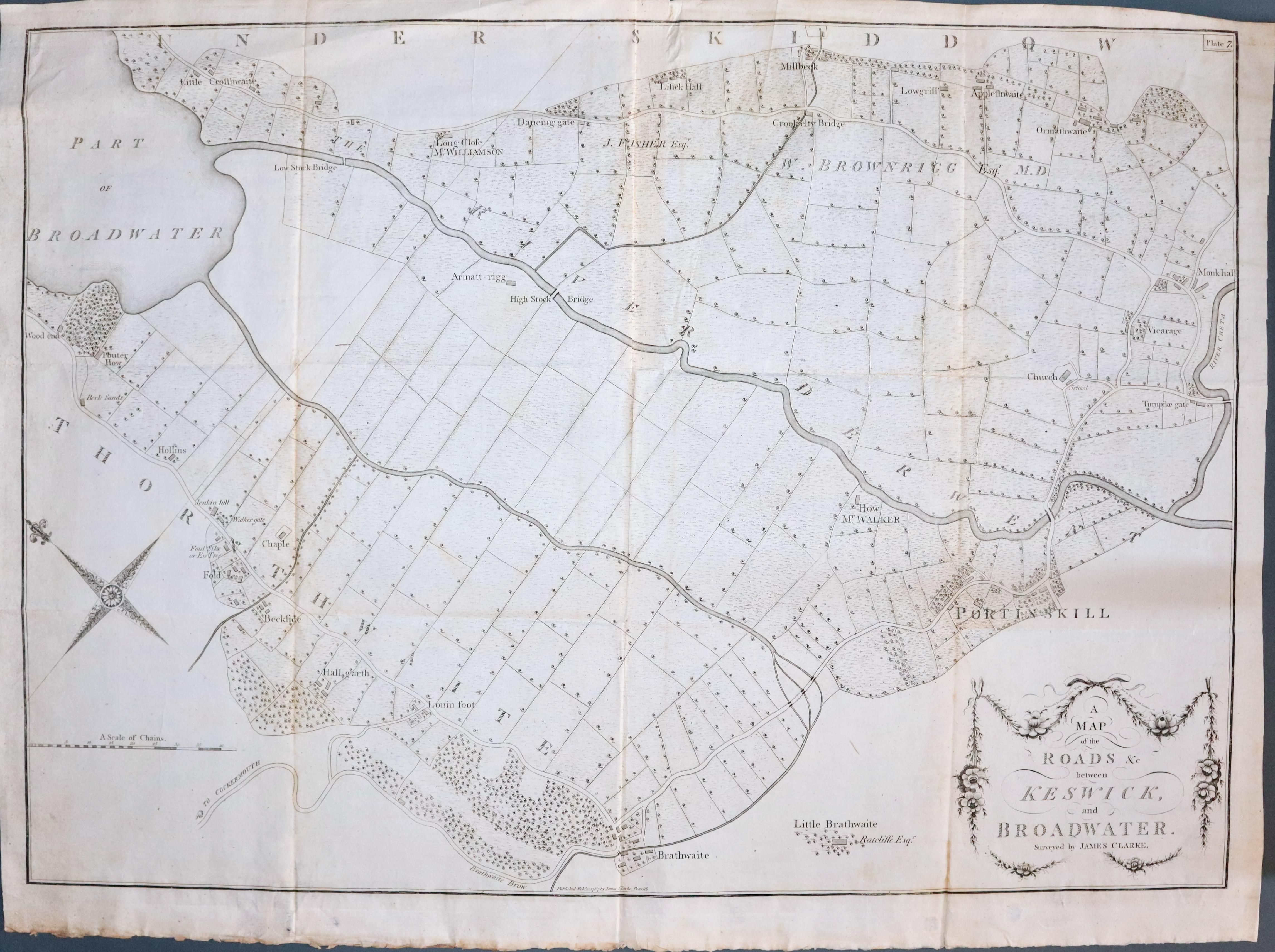
33407 Keswick and Broad Water, James Clarke, 1793. Price: 140.00
A MAP OF THE ROADS, &c BETWEEN KESWICK AND BROADWATER
An interesting late 18th century engraved map showing the land from the southern end of Bassenthwaite to Portinscale incliding Millbeck, Applethwaite and Braithwaite. Surveyed by James Clarke. This is Plate 5 from the series of 11 plates. Decorative compass rose. Scale of Chains. This map appears folded in the work and therefore has three vertical creases and two horizontal. 32 1/4 x 23 inches. Uncoloured. Good condition. This map has not previously been sold as a single map.
From: Plans of the Lakes in Cumberland, Westmorland and Lancashire...

18th Century - Large Scale
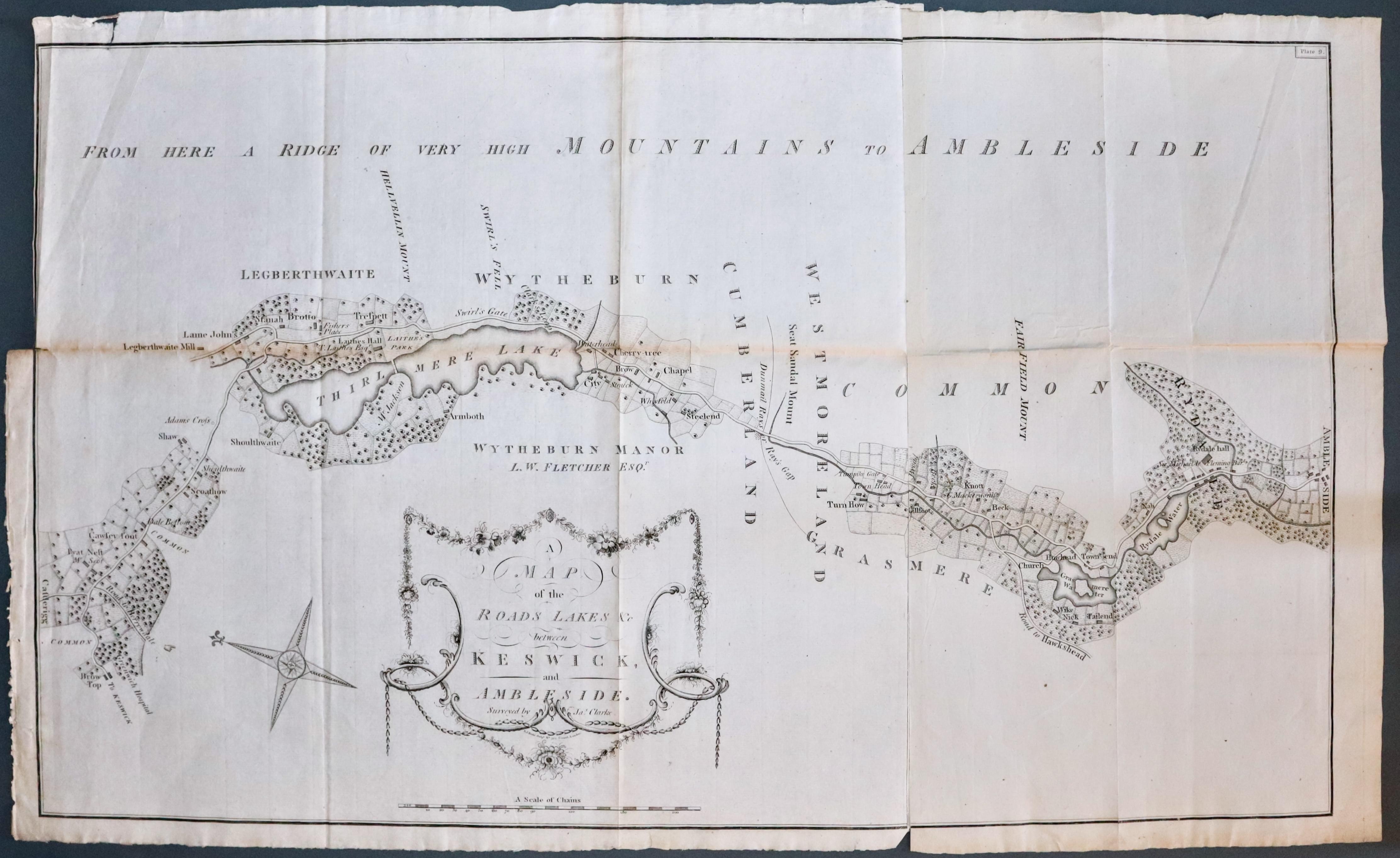
33409 Keswick and Ambleside, James Clarke, 1793. Price: 105.00
A MAP OF THE ROADS LAKES &c. BETWEEN KESWICK AND AMBLESIDE
An interesting late 18th century engraved map orientated with east at the top. The map is on a large scale for cartography of this period. On the left is is the road from Keswick passing Thirlmere Lake and progressing south to Grasmere Lake, Rydal Water, Rydal Hall and Ambleside. The title is shown within a delicate rococo style cartouche with the names of the surveyor James Clarke as well as the engraved S. J. Neele. Beneath is the scale in chains.30 1/2 x 18 inches. Uncoloured. Small tear in the top blank margin. Section of the left hand blank margin missing which is common owing to how the map was bound in the volume. This is Plate 9 from a series of 11 maps of the Lake District.
From: Plans of the Lakes in Cumberland, Westmorland and Lancashire...

18th Century - Large Scale
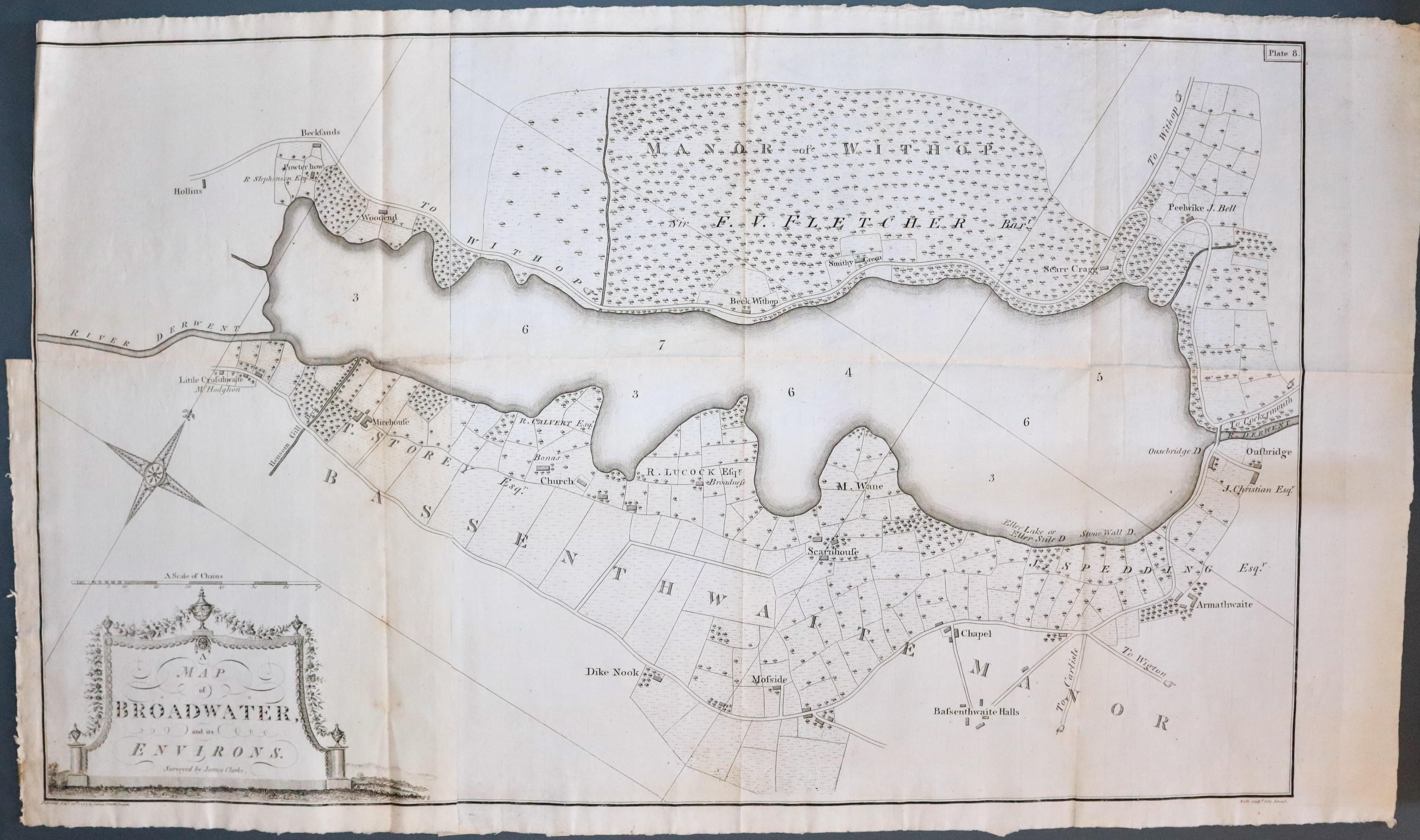
33410 Bassenththwaite Lake, James Clarke, 1793. Price: 130.00
A MAP OF BROADWATER AND ITS ENVIRONS
An interesting late 18th century engraved map of when Bassenthwaite Lake was known as Broadwater. The name of the surveyor James Clarke appears at the bottom of the rococo title cartouche. The map shows the area in gret detail with the roads and names of the landowners. This is Plate 8 of a series of 11 maps of the Lake District by James Clarke. Decrative compass rose beneath which is a scale in chains. Section of the left hand margin missing which is common owing to how the map was bound into the volume. The right hand blank margin is very wide so part could be used to repair the left hand margin. 30 1/4 x 18 1/4 inches. Uncoloured. Three vertical fold creases and one horizontal as published.
From Plans of the Lakes in Cumberland, Westmorland and Lancashire...

18th Century
-

Cumberland and Westmorland by Emanuel Bowen c.1778
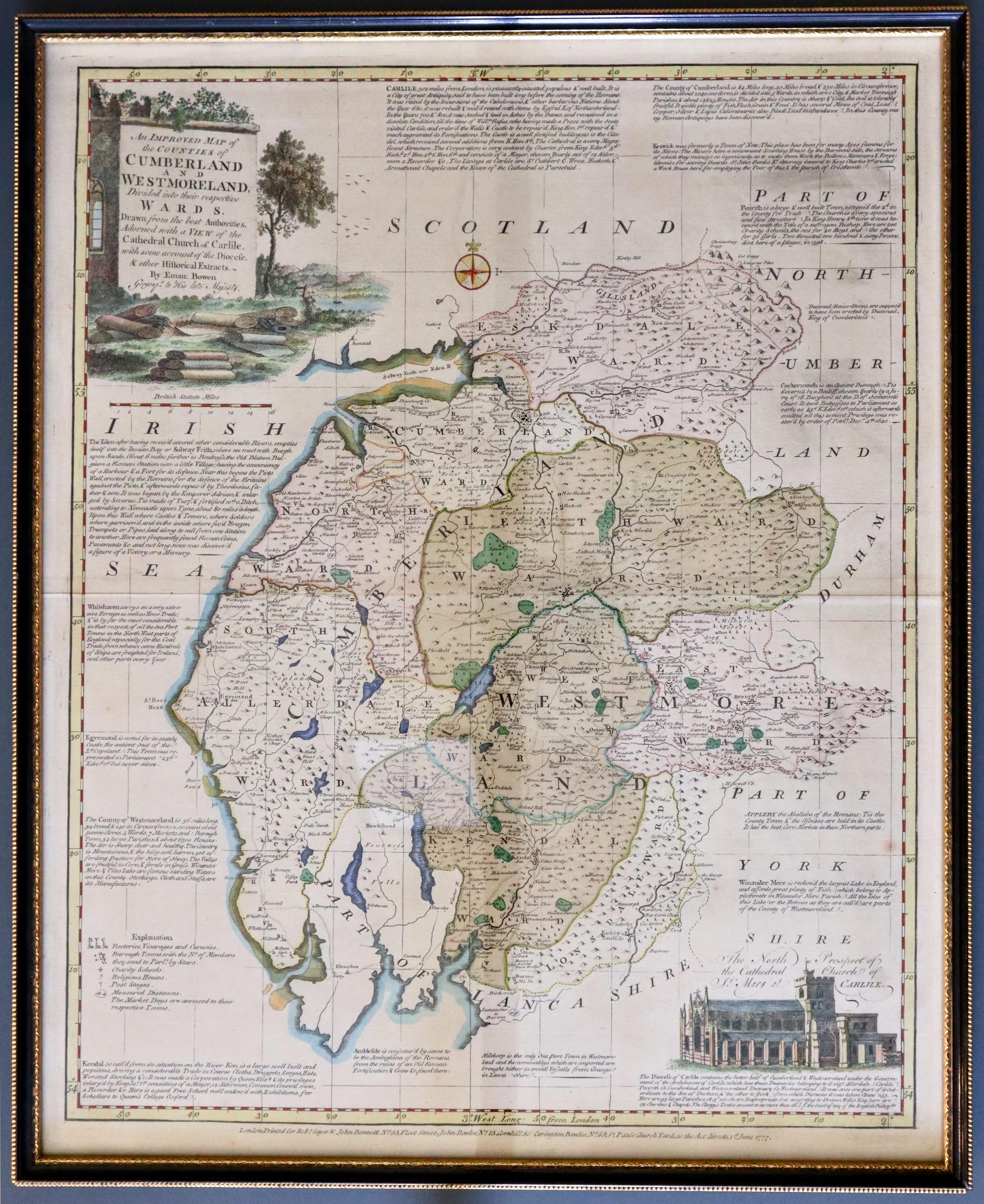
33420 Cumberland and Westmorland, Emanuel Bowen, c.1778. Price: 150.00
AN IMPROVED MAP OF THE COUNTIES OF CUMBERLAND AND WESTMORLAND DIVIDED INTO THEIR RESPECTIVE WARDS...
A fine detailed and uncommon map of the two counties embellished with a pictorial title cartouche. In the bottom right hand corner is an engraving of Carlisle Cathedral with a description of the Diocese of Carlisle. Around the map are engraved historial and descriptive notes. 15 3/4 x 19 3/4 inches. The imprint beneath the map reads London Printed for Robt. Sayer & john Bennett, No. 53, Fleet Street, John Bowles, No. 13, Cornhill, & Carington Bowles, No. 69, St. Pauls Church Yard, as the Act directs, 1st June 1777. Some original wash hand colouring and later hand colouring. Fine condition.
From:The English Atlas
This map was framed some years ago in a black and gilt hogarth moulding which is still in good condition. I have not examined the map outside of the frame so it is sold as seen.
ONLY AVAILABLE FOR COLLECTION FROM CHRISTLETON

18th Century - First Edition
-

Cumberland, Robert Morden 1695
33519 Cumberland Robert Morden 1695. Price: 115.00
CUMBERLAND BY ROBERT MORDEN
The FIRST EDITION of this good engraved map of the county embellished with a decorative title cartouche. Six ships displayed on the sea area. Three scales. Imprint of the publishers Abel Swale with Awnsham and John Churchill.. 16 1/2 x 14 1/4 inches, 420 x 360 mm. Uncoloured. Small blank margins on the two sides which is fairly common with this early edition. Original centre fold. A nice dark impression. This map has been taken straight from the atlas and therefore not previously offered for sale as a single map.
From: Camden's Britannia
